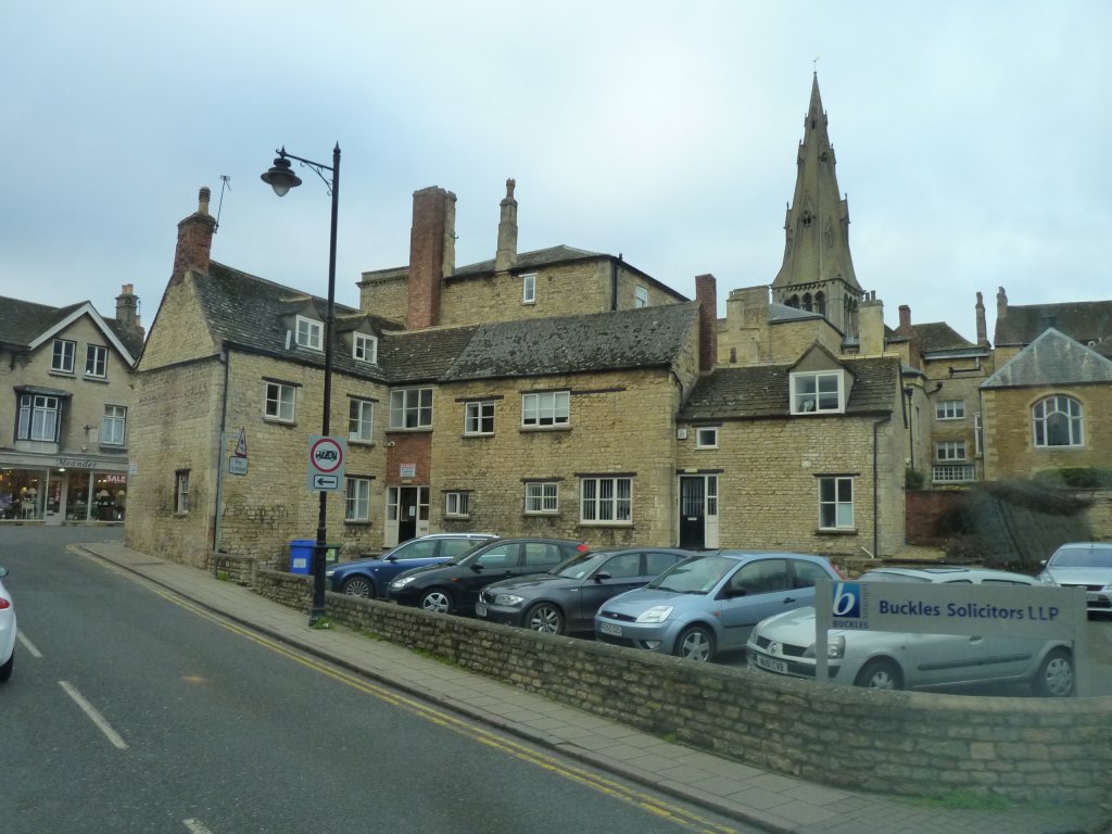
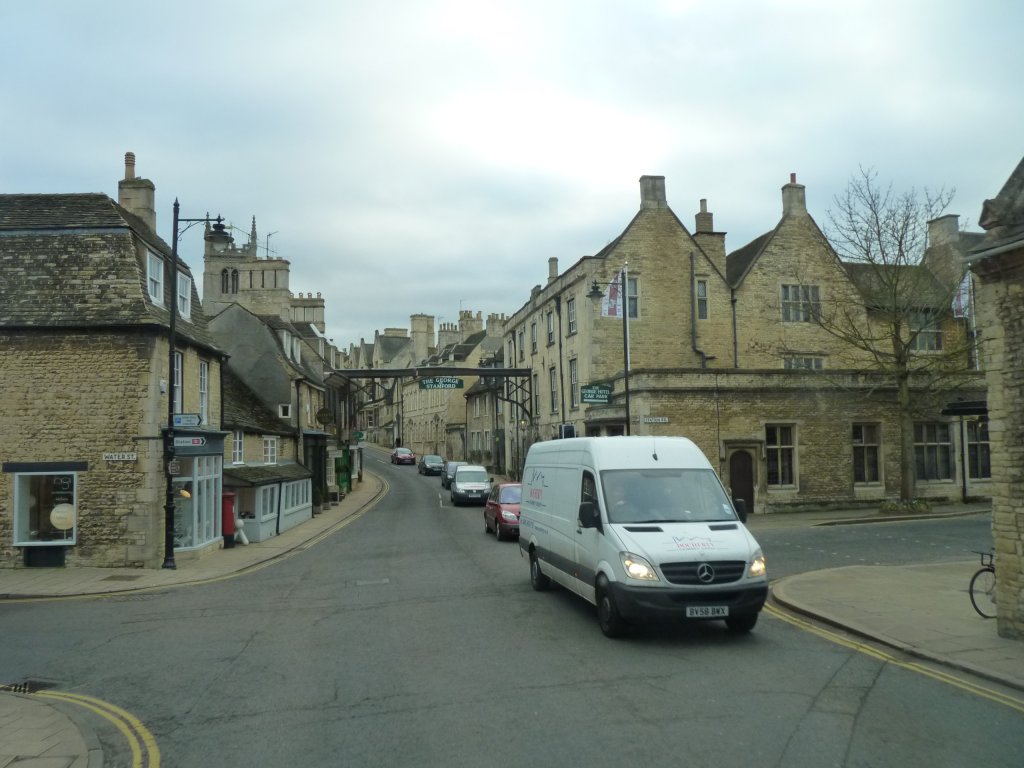
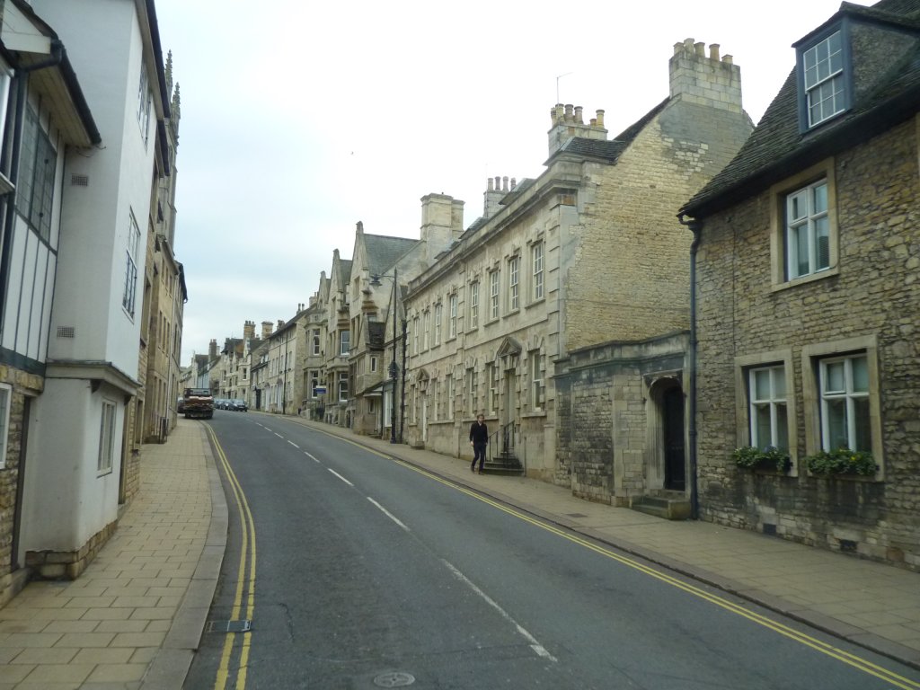
Just before crossing the A1 we passed through Stamford.
For a moment the red bricks of Lincolnshire gave way to stone.
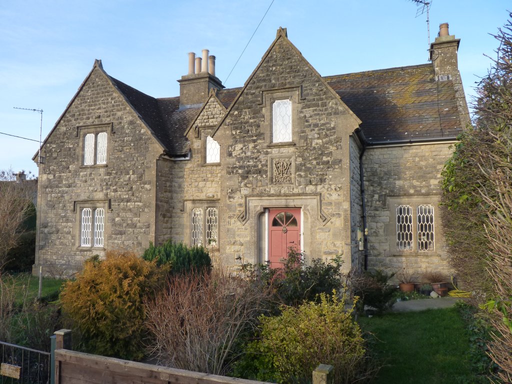
An old coaching inn on the old main road north.
Though there were a couple of tight corners and a bridge over the river.
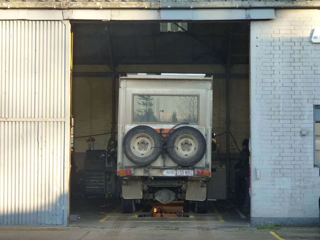
Lasalign specialises in trucks.
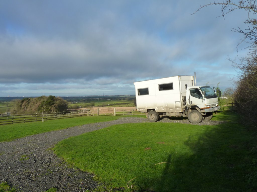
The rear axle was on a slight angle which explained the slight tendancy to pull to the left.
Much better after the alignment.
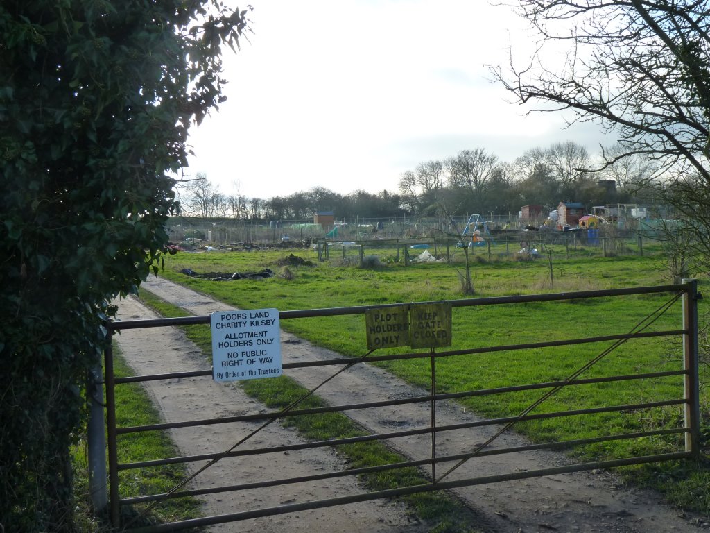
Presumably a leftover from the enclosure laws which led to the fencing / hedging of England in the transition to individual land ownership.
Variously seen as the freeing up of land for the peasantry or a transfer of shared land to the landed gentry.
There were a few local laws from the 12th century onwards but most enclosure laws were passed from 1750 onwards.
Either way the enclosure laws begin to explain why Australia has fences (immigrants were simply used to them?) and we noticed the absence of them through Asia and most of Europe.
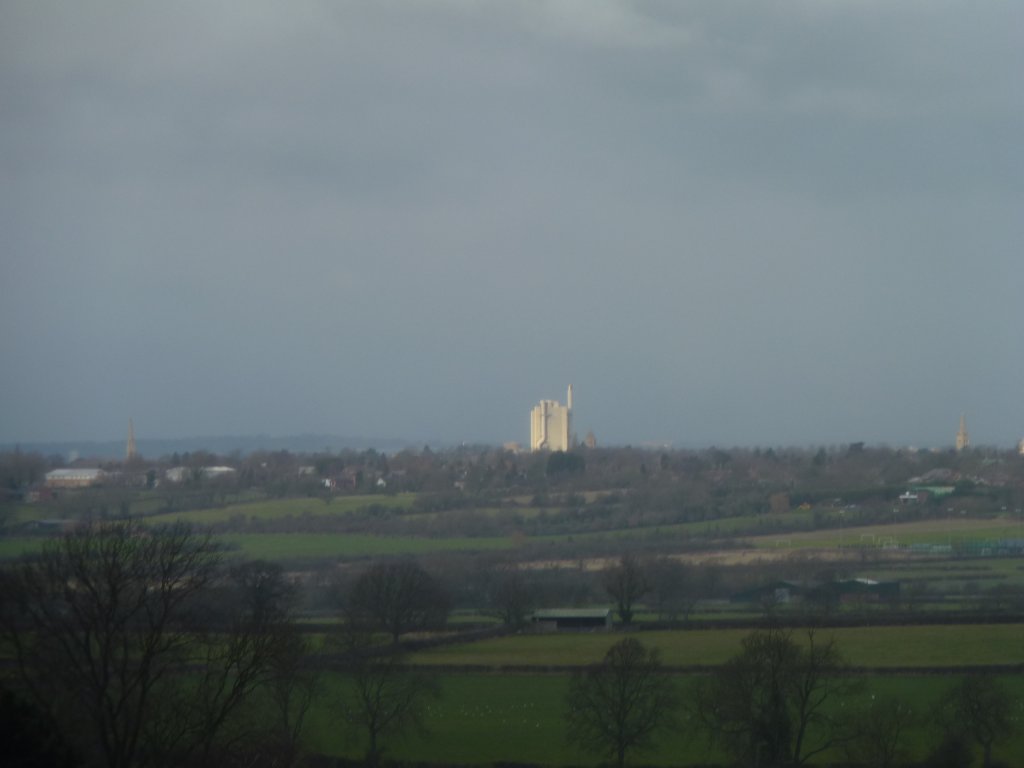
Expanded in the 1990's. Its fed with local limestone.
A much larger scale than other cement plants we've seen on our travels.
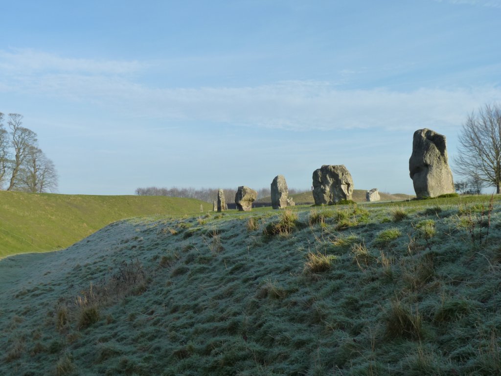
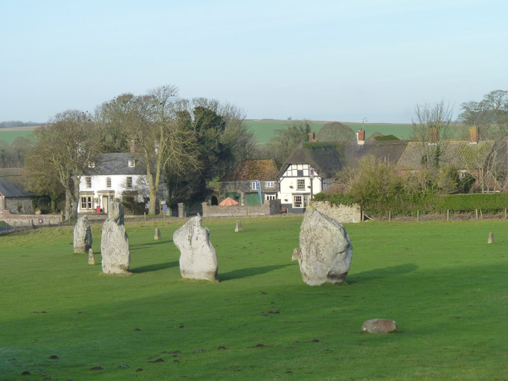
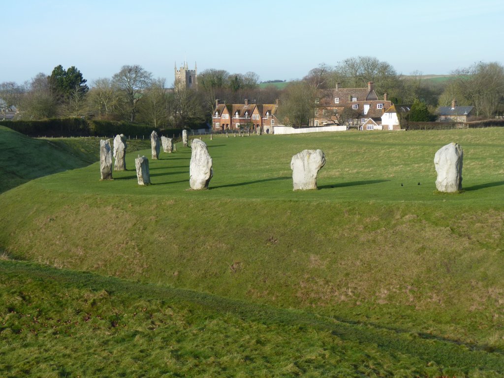
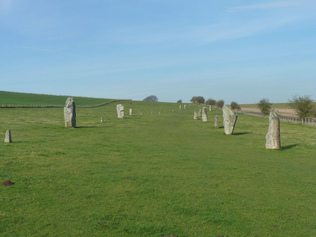
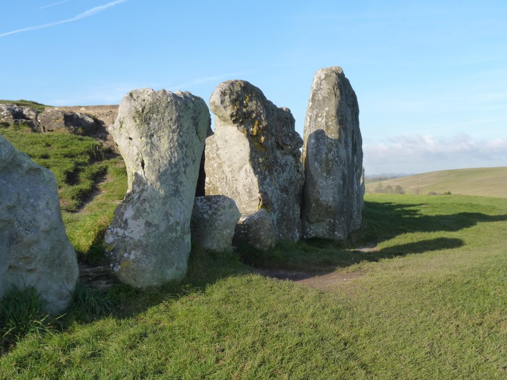
Europe's largest henge - don't you just have to like the language!
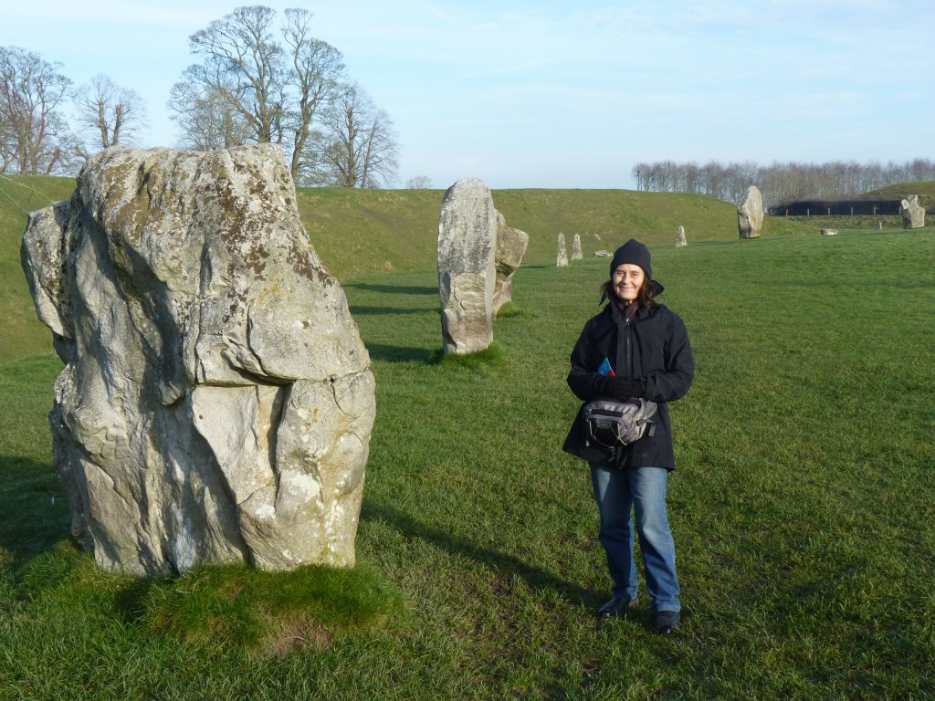
There are also three smaller circles inside the large one.
No horizontal bits like stonehenge.
Most of the stones had fallen over at some time, or even been removed, until the 1930's when someone stood them up again, and filled the gaps left by missing stones with bits of concrete.
It slowly dawned on us that these standing stones were probably stood standing a couple of millenia before the deer stones we were excited about in Mongolia.
The henge is stoneage (neolithic). About 4500 years old.
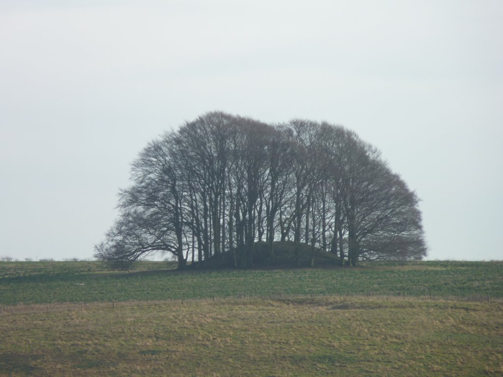
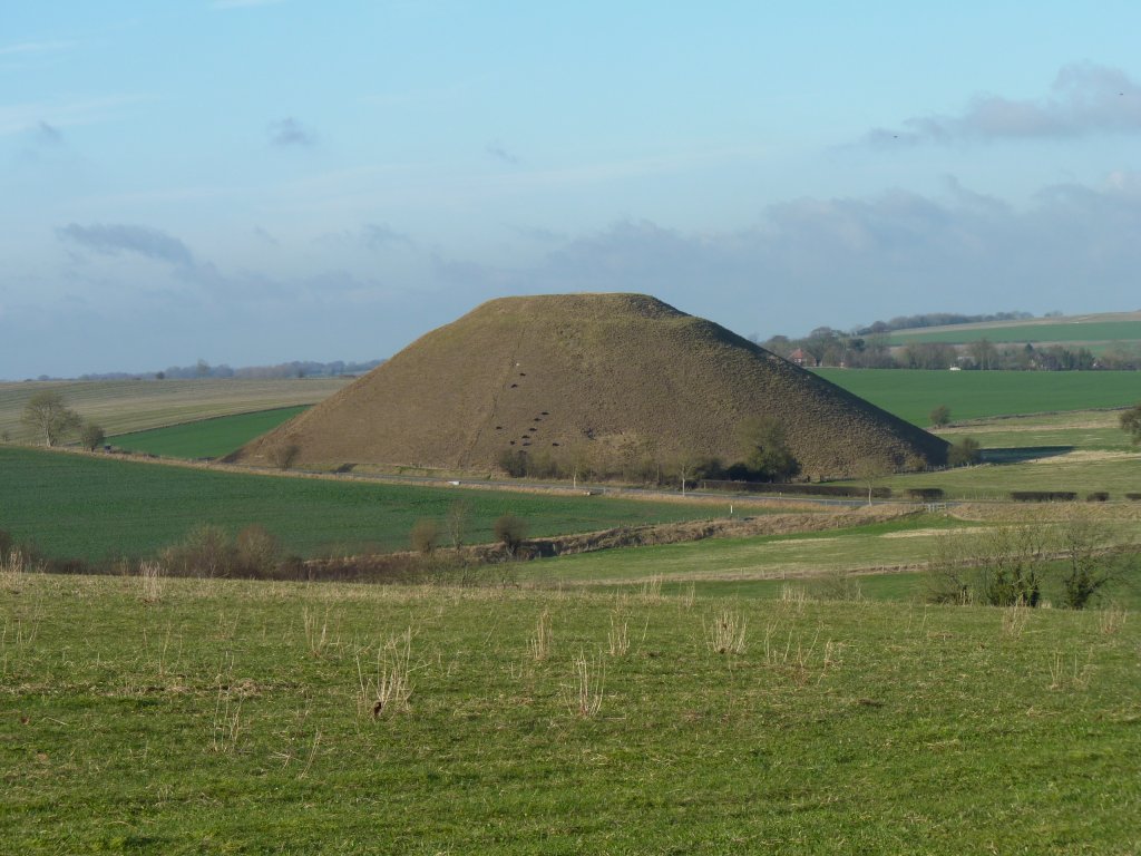
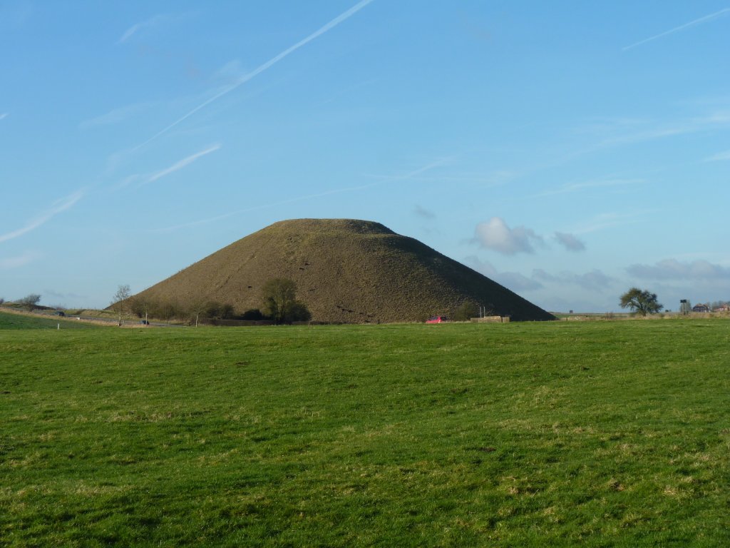
This round barrow is from the younger iron age.
Reminiscent of Carnac in Brittany, but much younger.
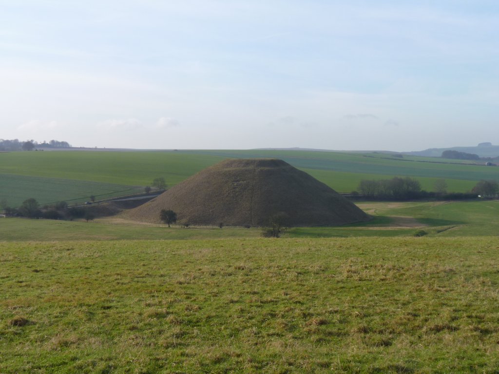
Obviously man made. But not a clue left as to why.
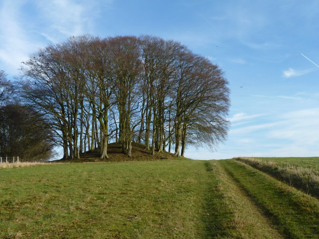
Though in need of a haircut.
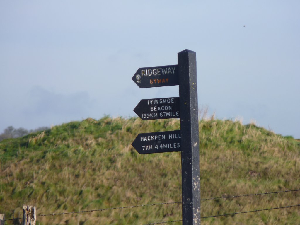
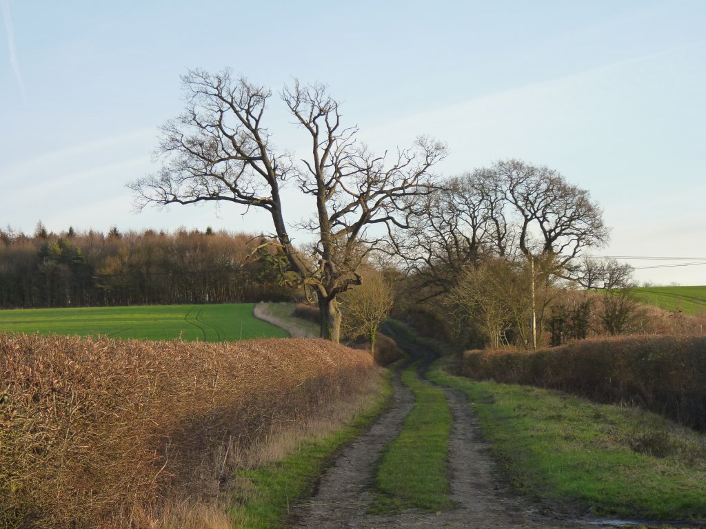
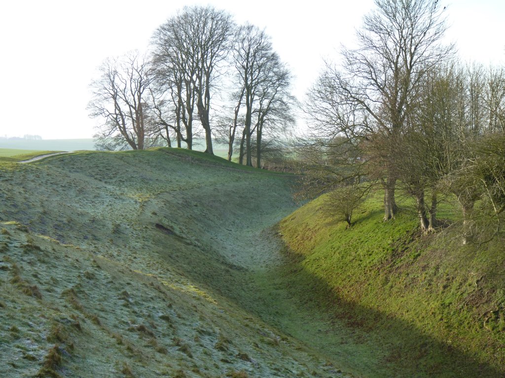
Part of very long paths. This stretch along the top of a ridge.
The stone, like that of the henge, is the local sarson stone. The remains of a layer of silcrete.
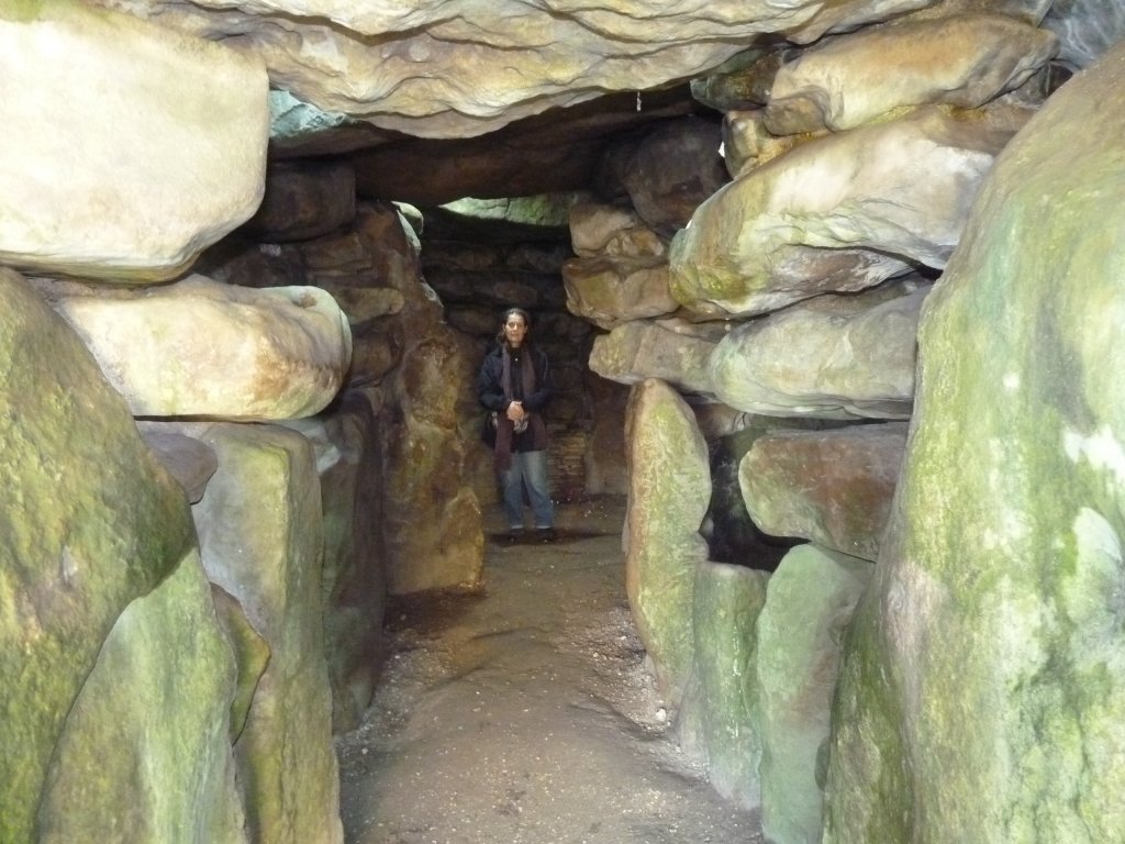
A burial site in which 46 people were buried from about 3500 BC over a period of 1000 years.
Its use ended about the time the Avebury Henge was built.
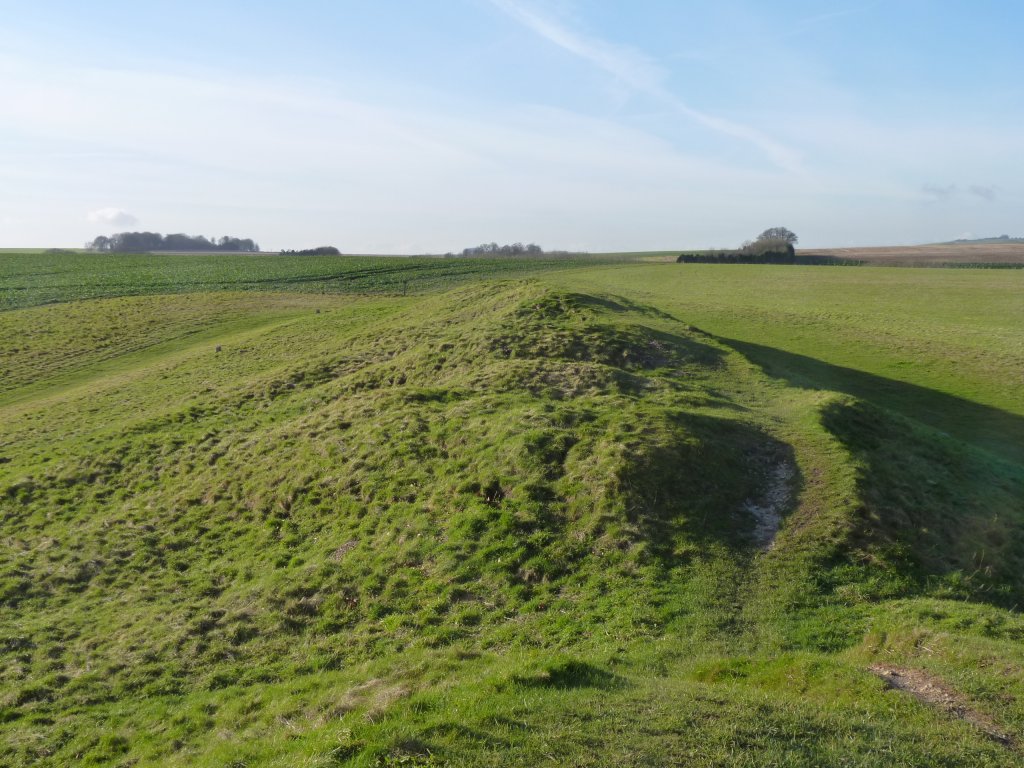
Stood above the entrance looking along the length. About 100m.
About 4 hours walking. A bit more than we'd anticipated when we went for a walk around the henge.
The weather has been kind to us again. A beautiful, cold, winter's day.
This one not far from the hill.
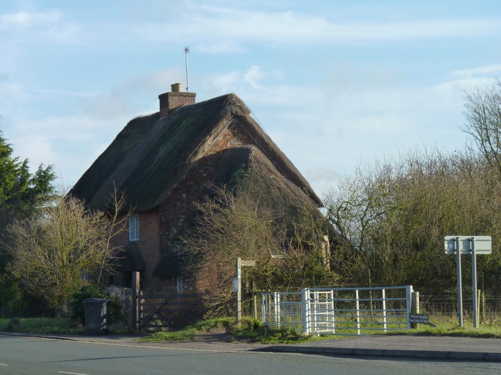
Nice to look at but needs replacing about every 30 years or so.