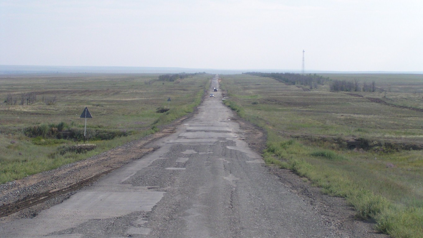
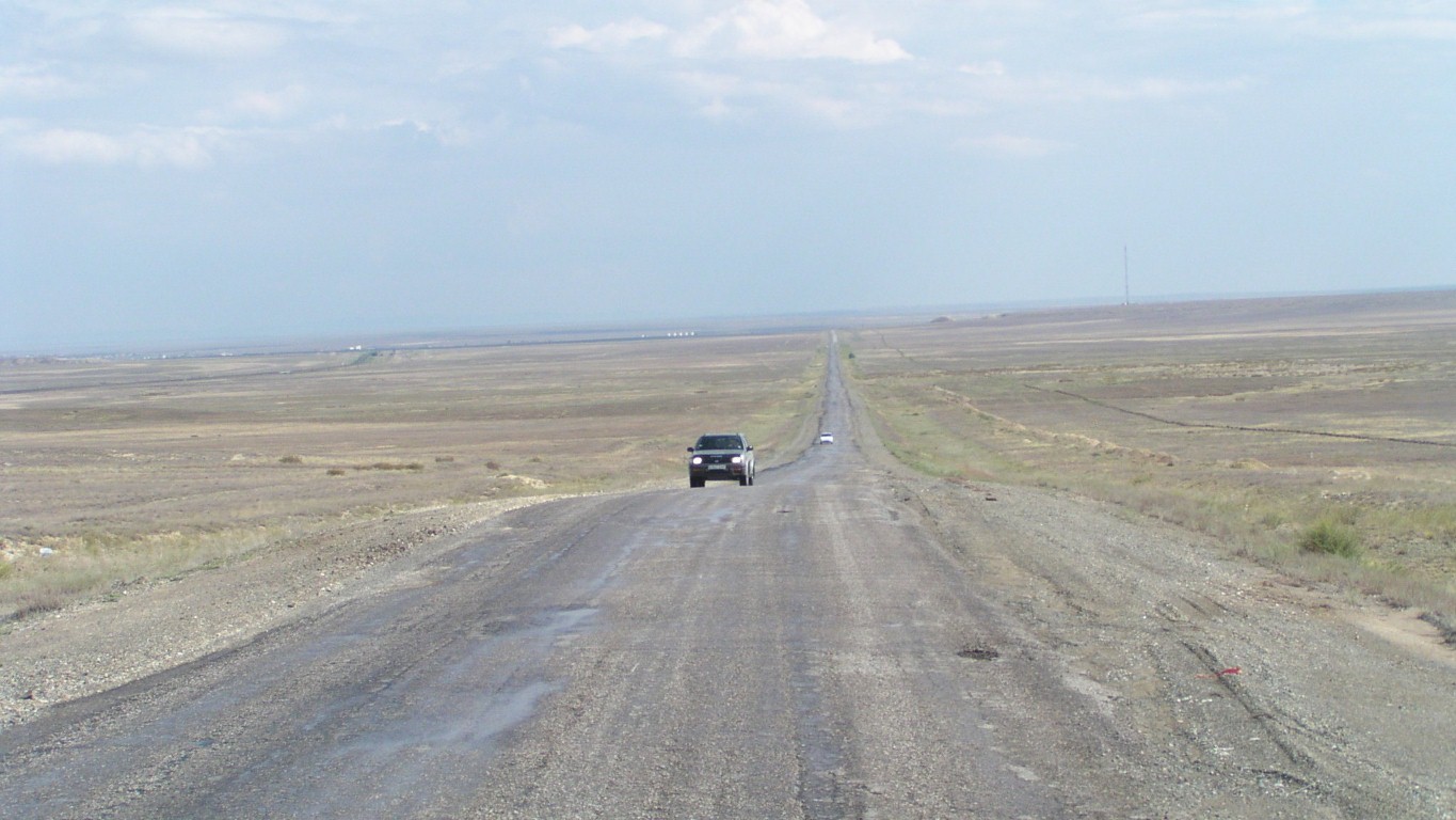
With absolutely no knowledge of road condition we took the shorter SE road through Embi to Aralsk.
We are beginning to thing there's a pattern.
The further we are from major towns the worse the road.

And fish plates for joins.
Near Qandyagash the land seemed a little greener.
We had passed some wheat being grown just before town.
The river is flowing quite fast.
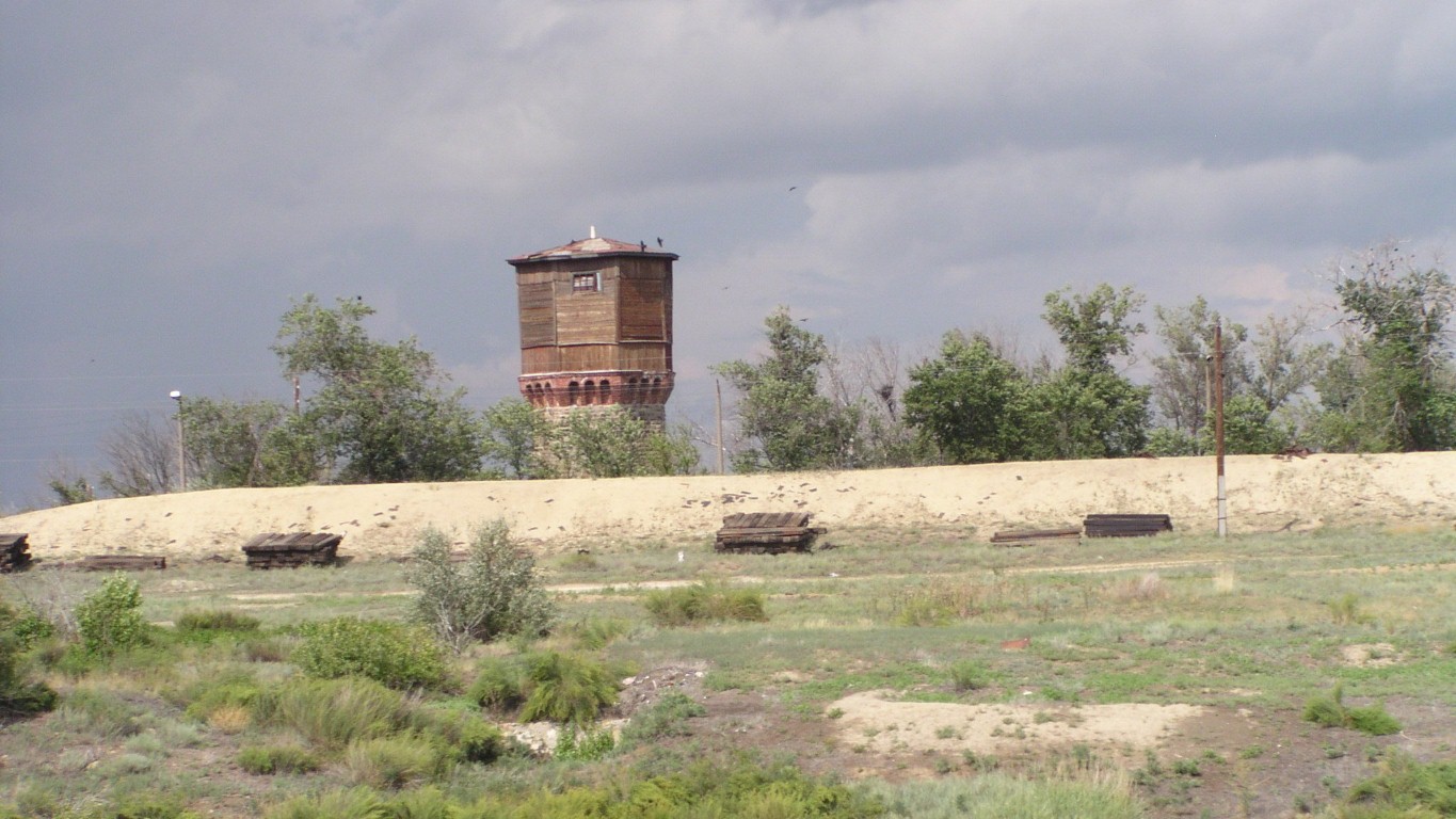
This looks like an old water tower for filling steam engines.
There's one at every siding on this line.
We are tired after several hard days.
Which of course is a good combination for mistakes.
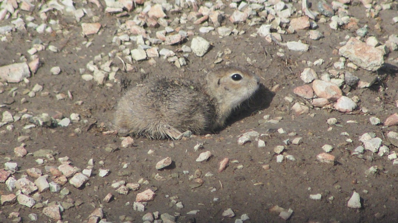
We've seen the burrows. And we've seen the eagles.
Now we think we know some of how the dots are joined.
Doing what should have been done before we attempted to drive onto it.
Its "gibber plain" that's been rained on.
Soft clay through the surface layer of stones.
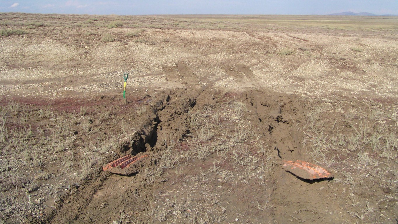
There's a bit of a ditch with indications that it may be a bit soft which we totally ignored.
Too gooey to dig.
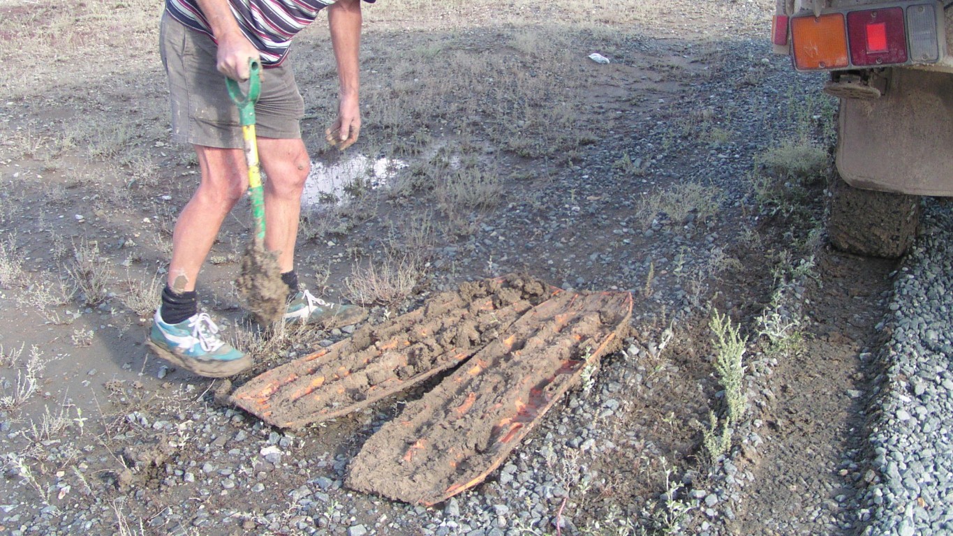
And the second mistake was, once stuck, to lock the hubs but not select 4wd.
Which meant that the front wheels became no longer in the same wheel ruts as the rear.
We really are tired. Some may suggest "approaching brain dead".
They did their job exceedingly well.
Now they weigh three times what they started. As did my shoes. The shovel weighed five times.
A nearby puddle in one of the large potholes helped a bit.
A couple of vehicles passed. Then a cheerful truckie in a 6wd Kamaz stopped just as we were packing up. And the next car stopped.
Nice to know there's help!
Put the max-trax out to dry in the sun and be washed by the rain.
After drying hit them with a hammer. The clay had shrunk and fell off.
Great clods of it!
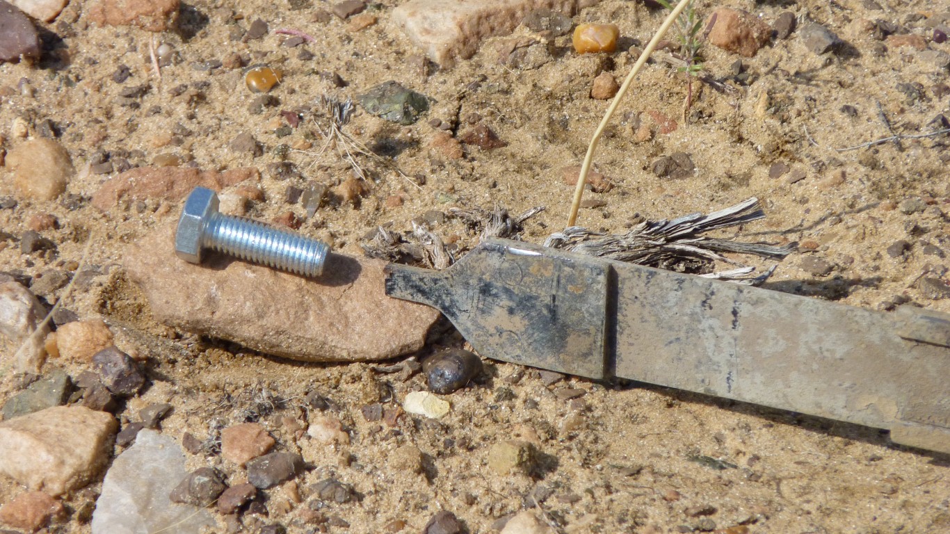
A tank strap had broken. There's supposed to be a "T" on the end to locate in a "keyhole". Temporary replace strap with some webbing. Weld at first opportunity.
Made sure we had a suitable bolt to weld on the end - just like the two straps we had welded in Spilsby.
Hindsight says should have done all four! But then again, the welded bolt approach needed testing on just one tank. Its a long time since we broke the first one on the way into Halligans Bay (Lake Eyre, Aus in September 2010, almost 3 years ago). Finally figured out they break on rough roads when a tank is full and we are using the other one. Obviously designed for some "liquid slosh".
The house water pump fuse had blown after lunch and blew again in the evening! A so far untraceable wiring problem associated with a circuit to run one or both pumps and hot water solenoid. At least the pressure release valve worked!
Temporary solution to disconnect one pump - we've never used two in parallel. I'll reduce the wiring.
It really was one of those days .... our capacity to make mistakes and overcome problems is greatly reduced when tired.
And of course most problems arrive when we are tired!
There is of course only one thing to do when the list of problems has been turned into scrap paper and all possible issues resolved.
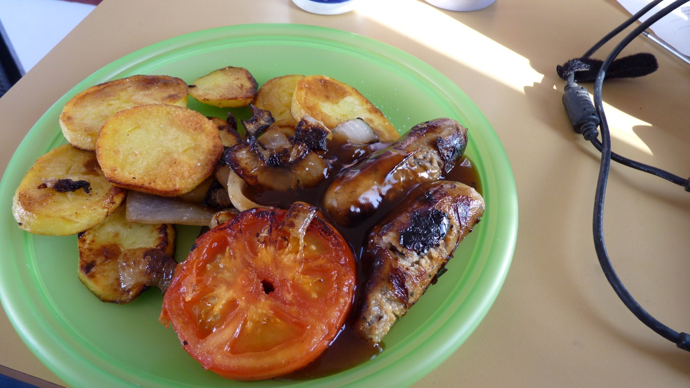
Eat the last of our supply of Lincolnshire sausages. All the way from Boston in Lincolnshire.
And have a few moments remembering Tim and Angela's hospitality.
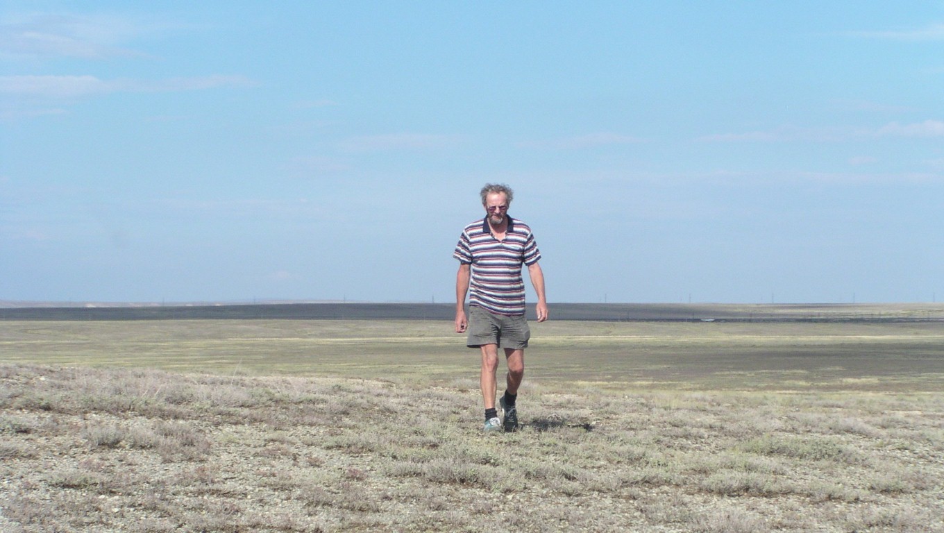
Further away than I thought, the sun was nearly below the horizon by the time I'd walked there.
I needed the exercise.
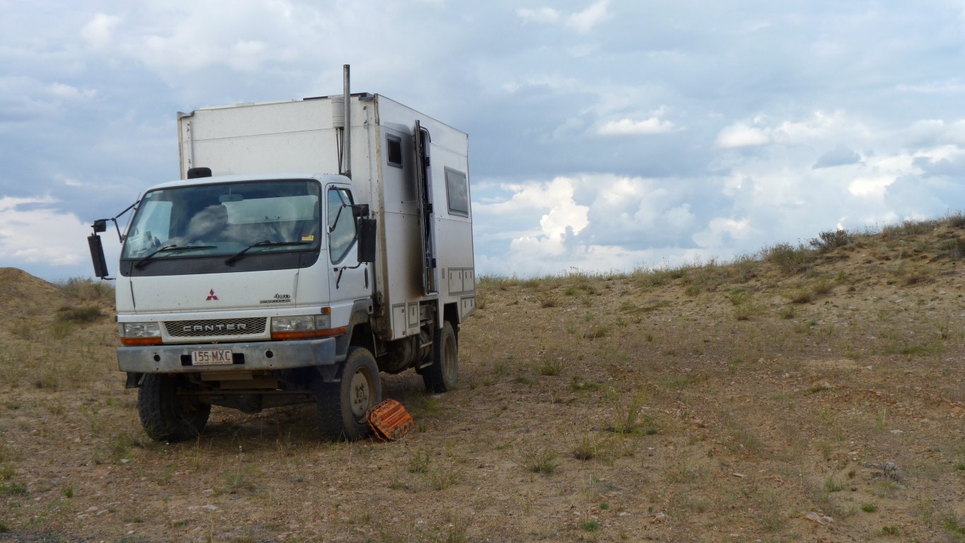
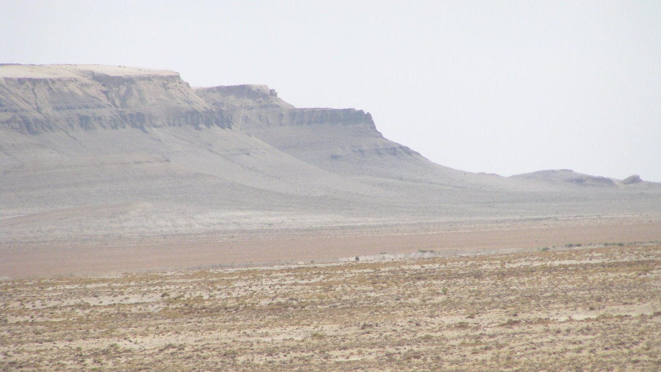
Surprised a bit to find a low range of hills. About 600m high.
With a few mines and quarries.
And crossed the railway line - in totally the wrong place for the map.... which we think is a few km out.
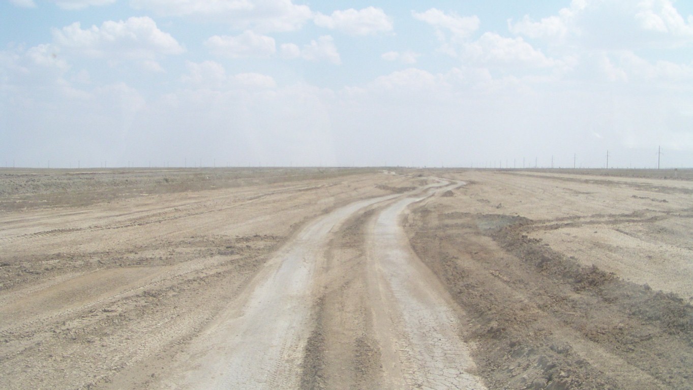
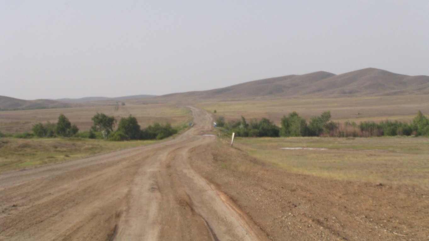
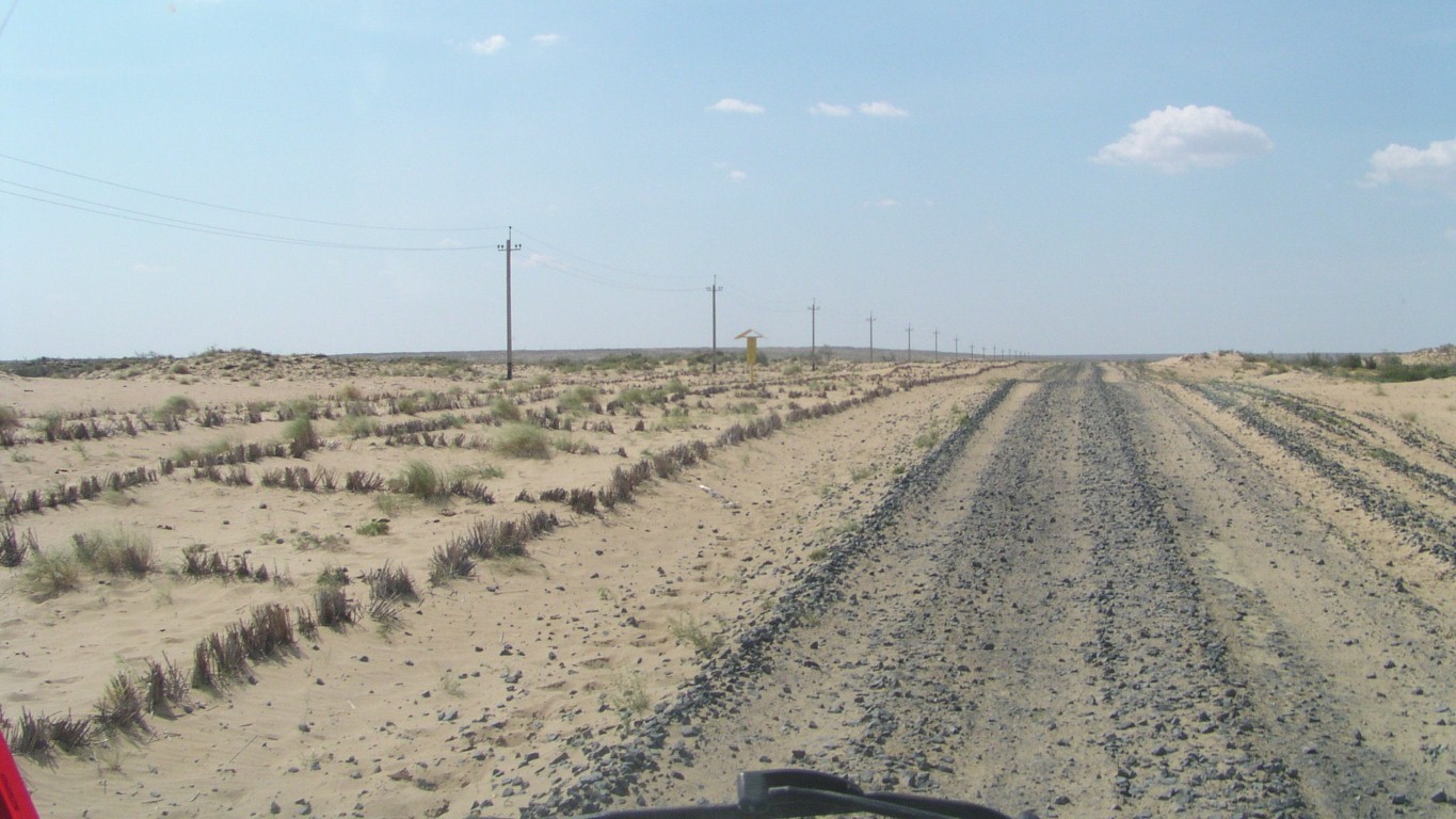
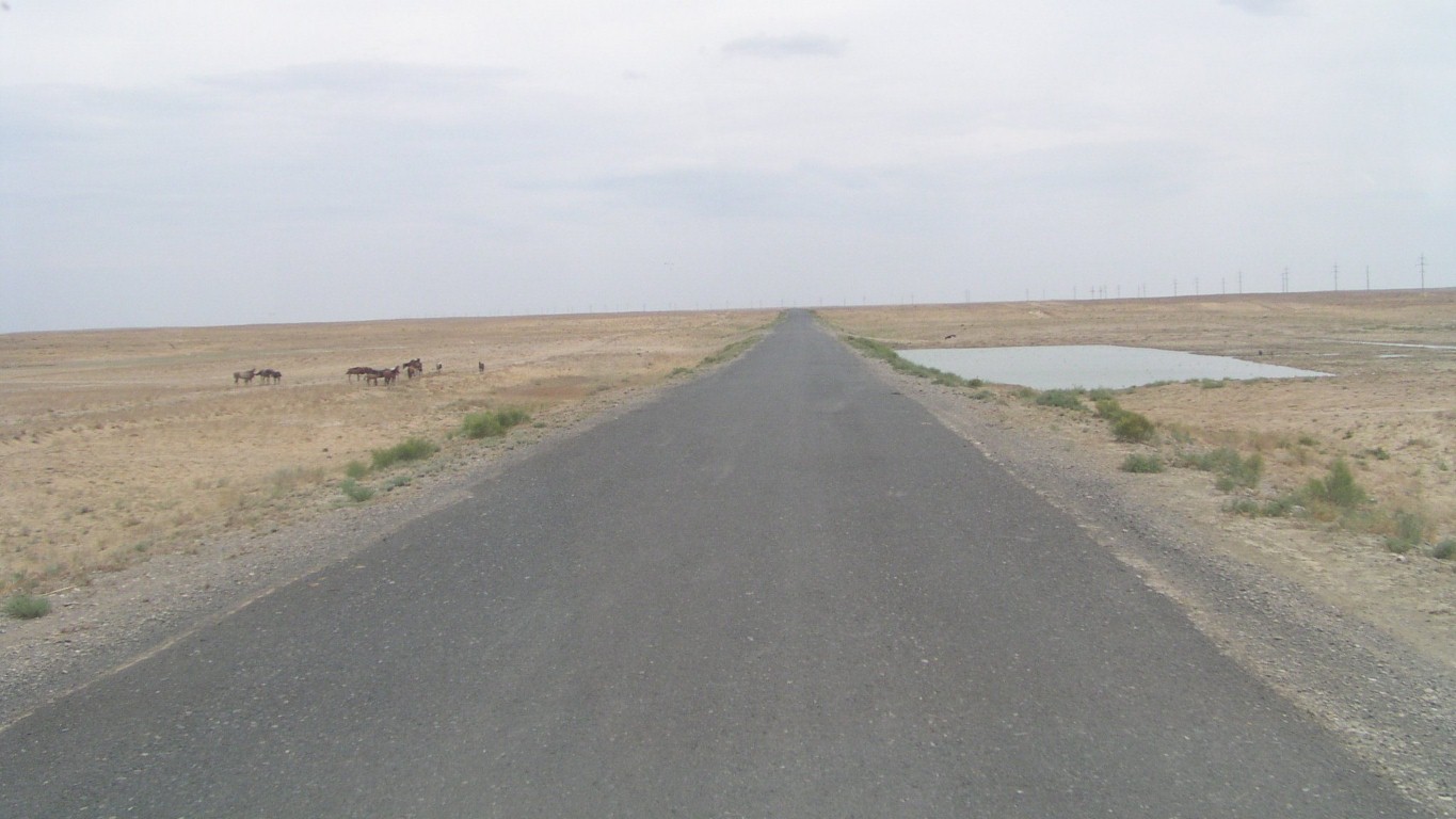
The road is really a bit bumpy so we took the parallel track.
Our guess is we are crossing dried lake bed.
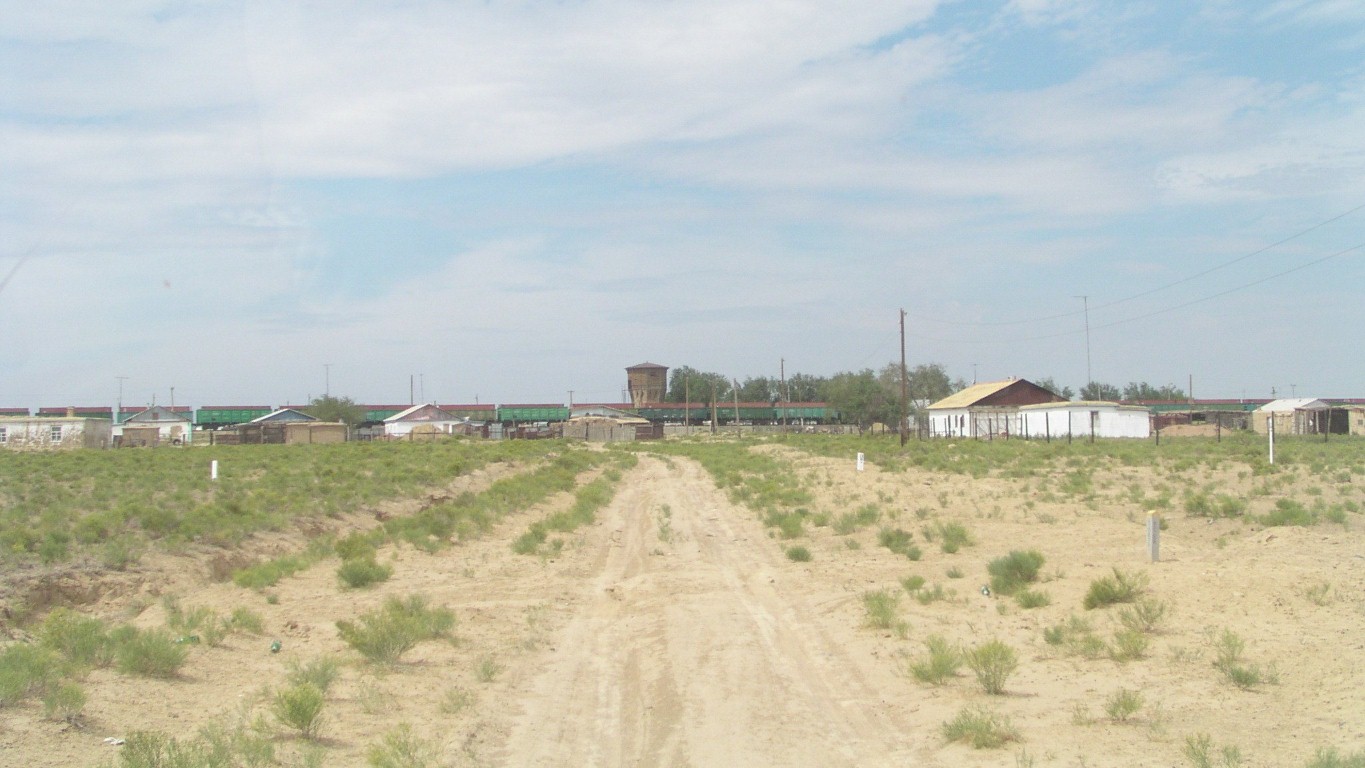
After 5-10km we reached Shalqar.
Not sure of the time as computer updated through internet says one thing, the mobile phones another, the current time from google yet another, and Ali's watch set by asking someone yet another.
Temperature back to around 32°C after a few days of mid 20s. Plays havoc with fluid levels.
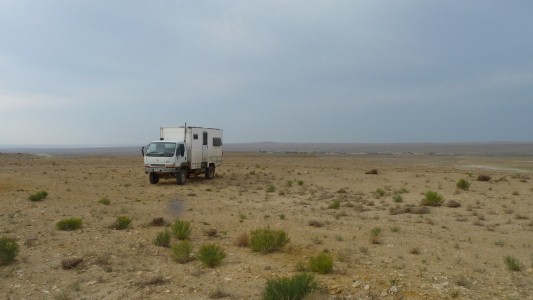
Stopped about 10km north to camp after a difficult 150km.
Much better than we have been, though for a while I thought we would become catatonic, the step beyond weary.
We'll drive back to Shalqar in the morning and buy some bread. Are welders open on Sundays?
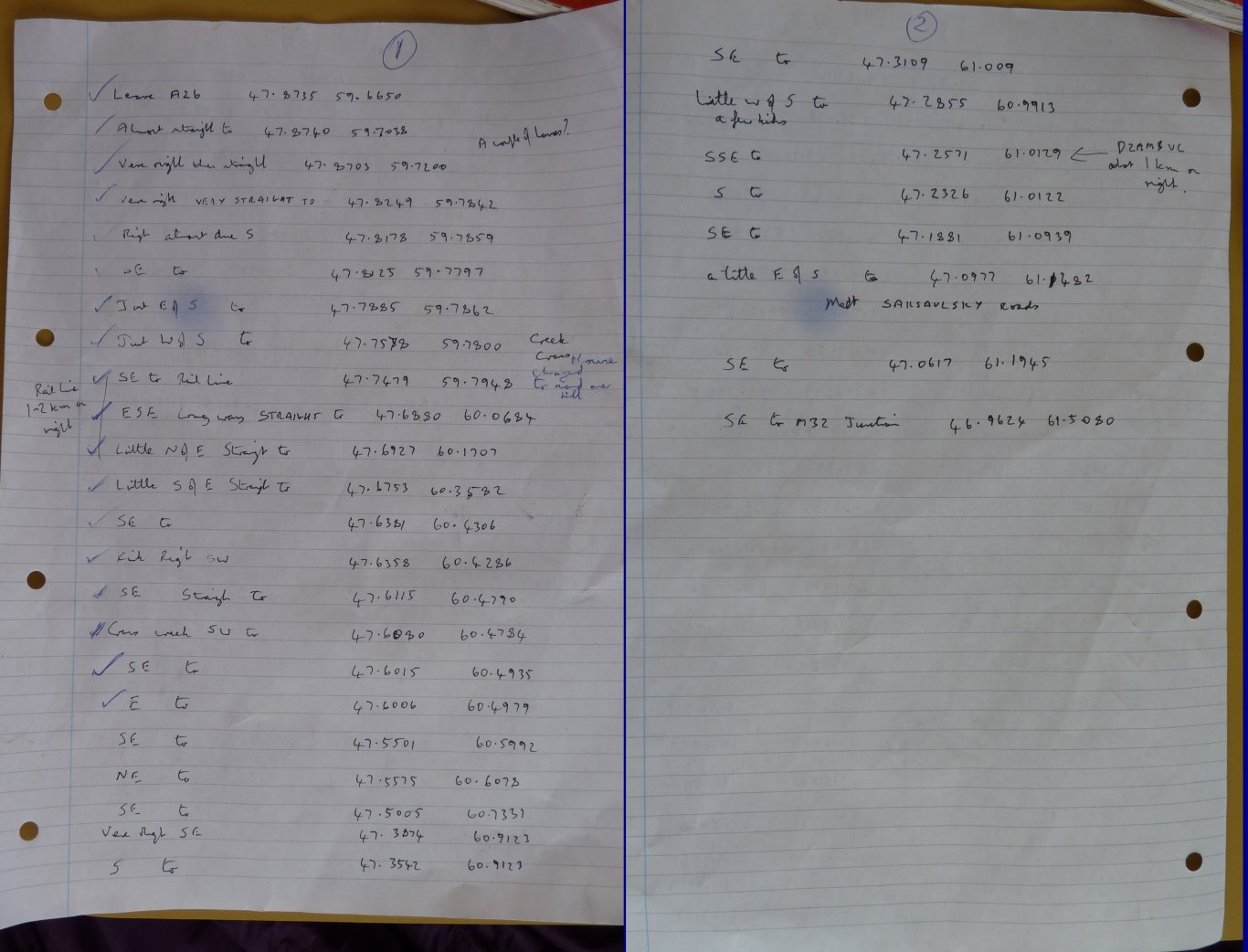
I spent about 3 hours with googlemaps last night.
The track was obvious at only one zoom level of the satellite view. It disappeared at other zoom levels so I doubted its existence, and my sanity. Quite bizarre really.
This is about 6km north of the town and rail line, no road shown on google, and the road on the Reise map is south of the rail line, but can't be seen on google. Garmin has nothing.
This is the coordinates I identified where the track leaves the main road.
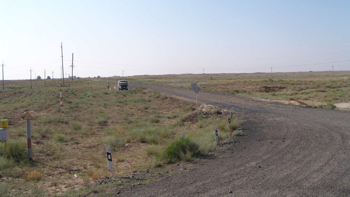
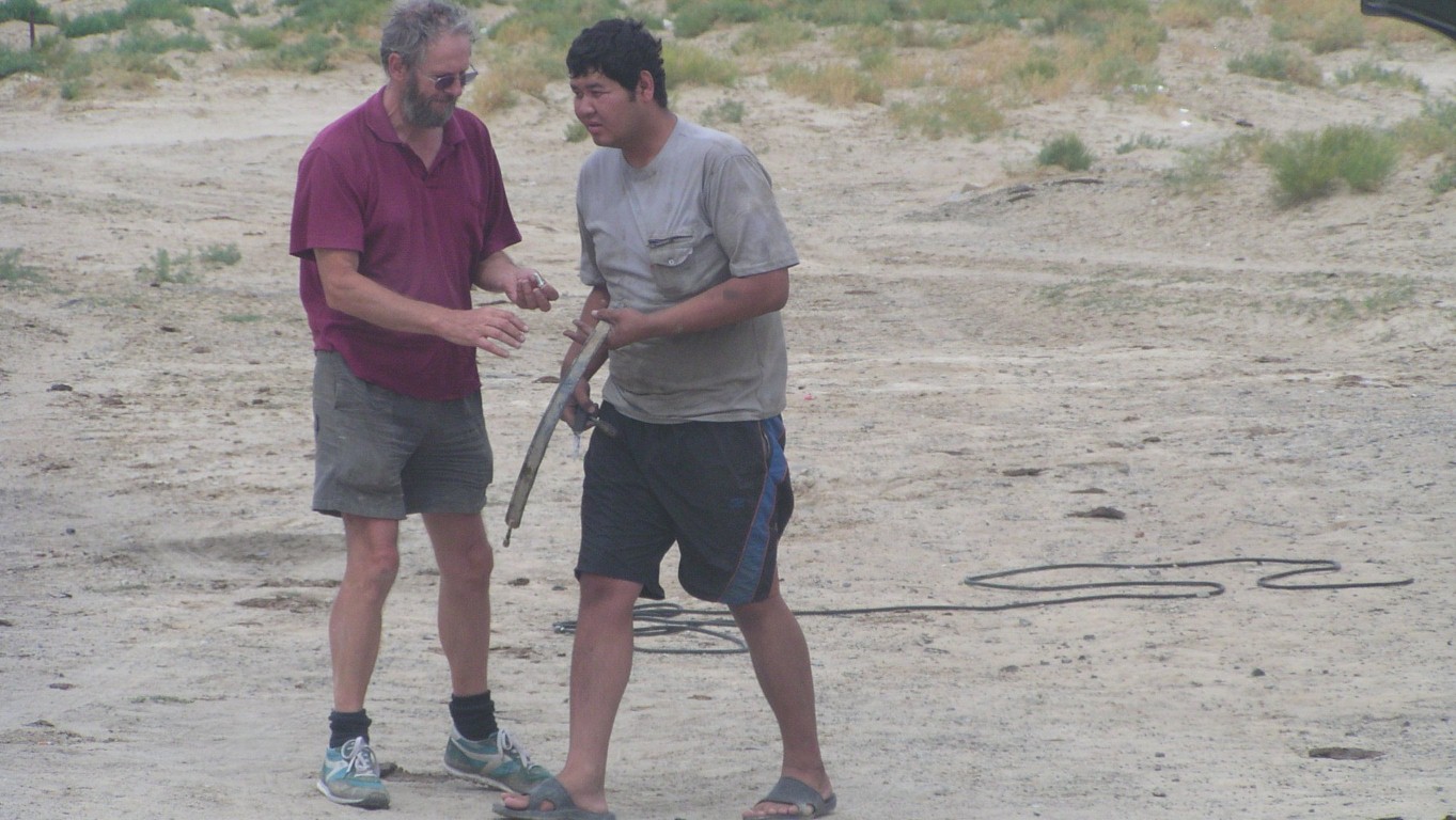
We asked the people from the truck "which way to Aral?". They pointed down the track, and wrote 150km.
They also told us where the other three roads led. And which were bumpy or smooth.
All with hands and Kazakh.
We are not the first people to be flumoxed.
There are a lot of straight stretches. It follows a pipeline and the rail line can be seen. Here are the rough coordinates of the corners, though once started its a bit obvious.
I used my web page with the googlemap which conveniently shows me the mouse coordinates.
The track ends are north of Shalqar and the M32 north west of Aral.
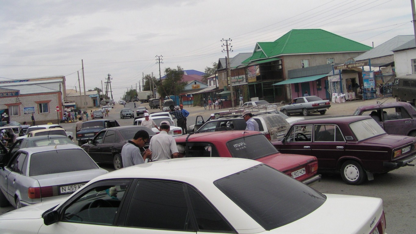
We found bread and some veggies.
But no welder on a Sunday.
This is the town, and the shops are just around the corner.
But even the military post was asleep.
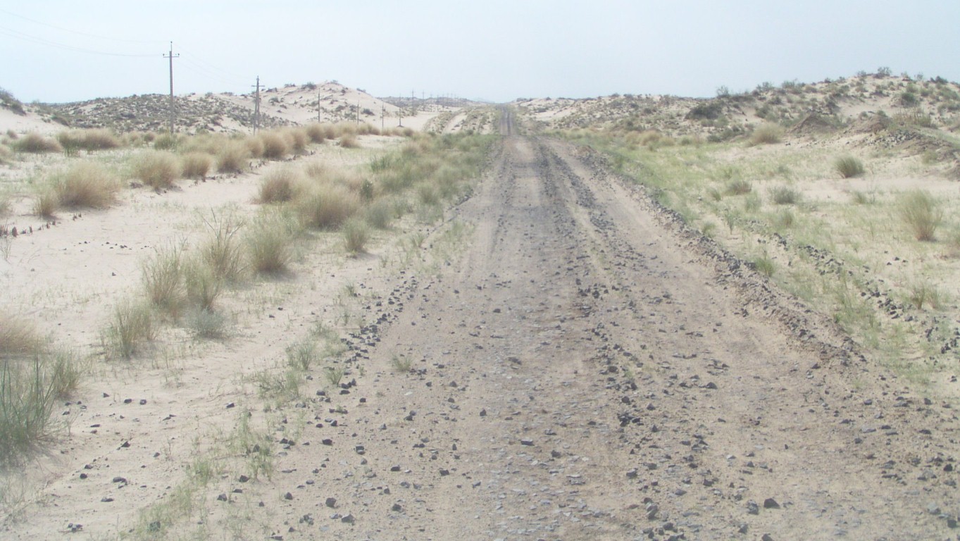
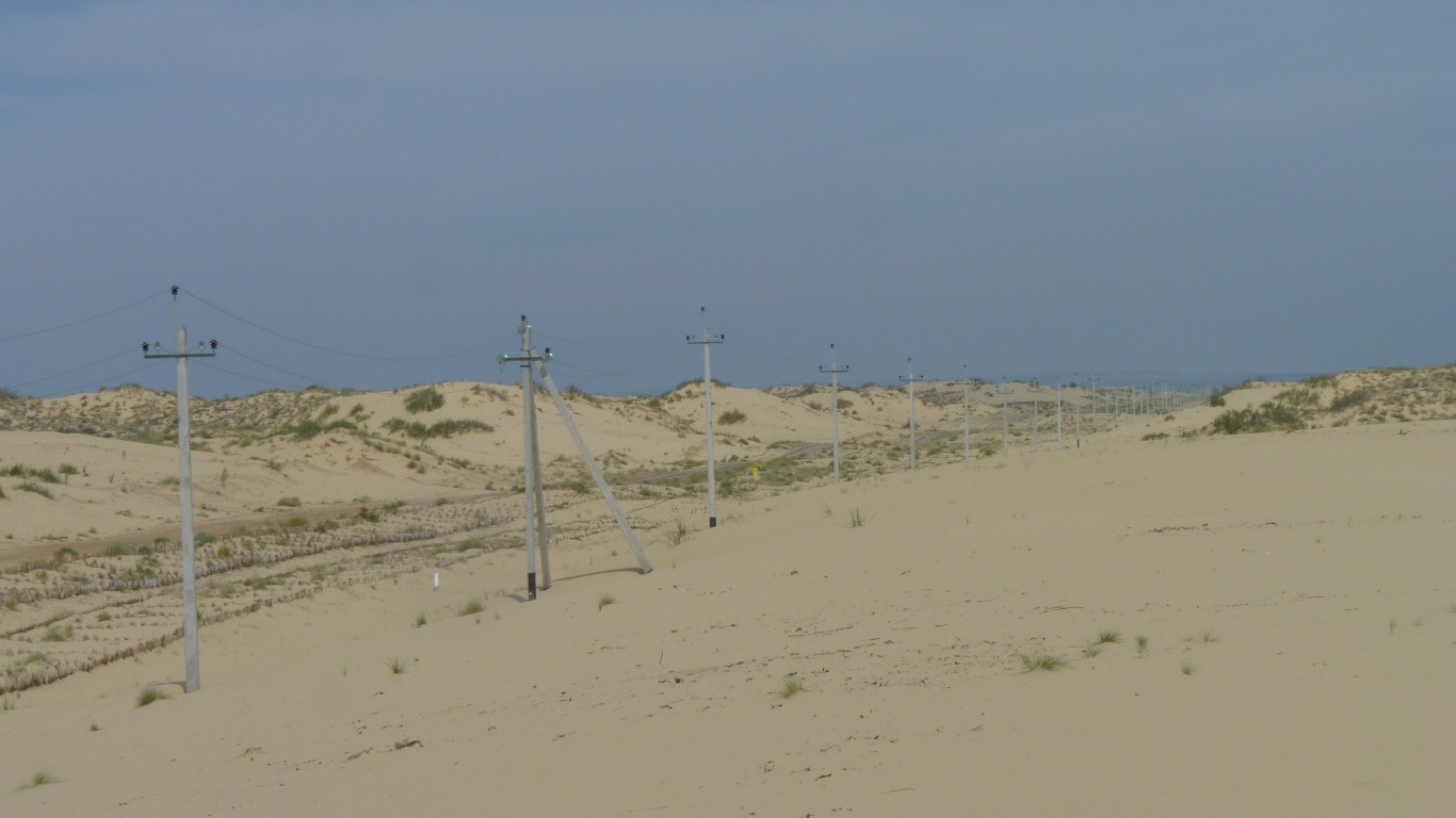
This is largish stones on top of sand.
And something to help stop the sand drifting.
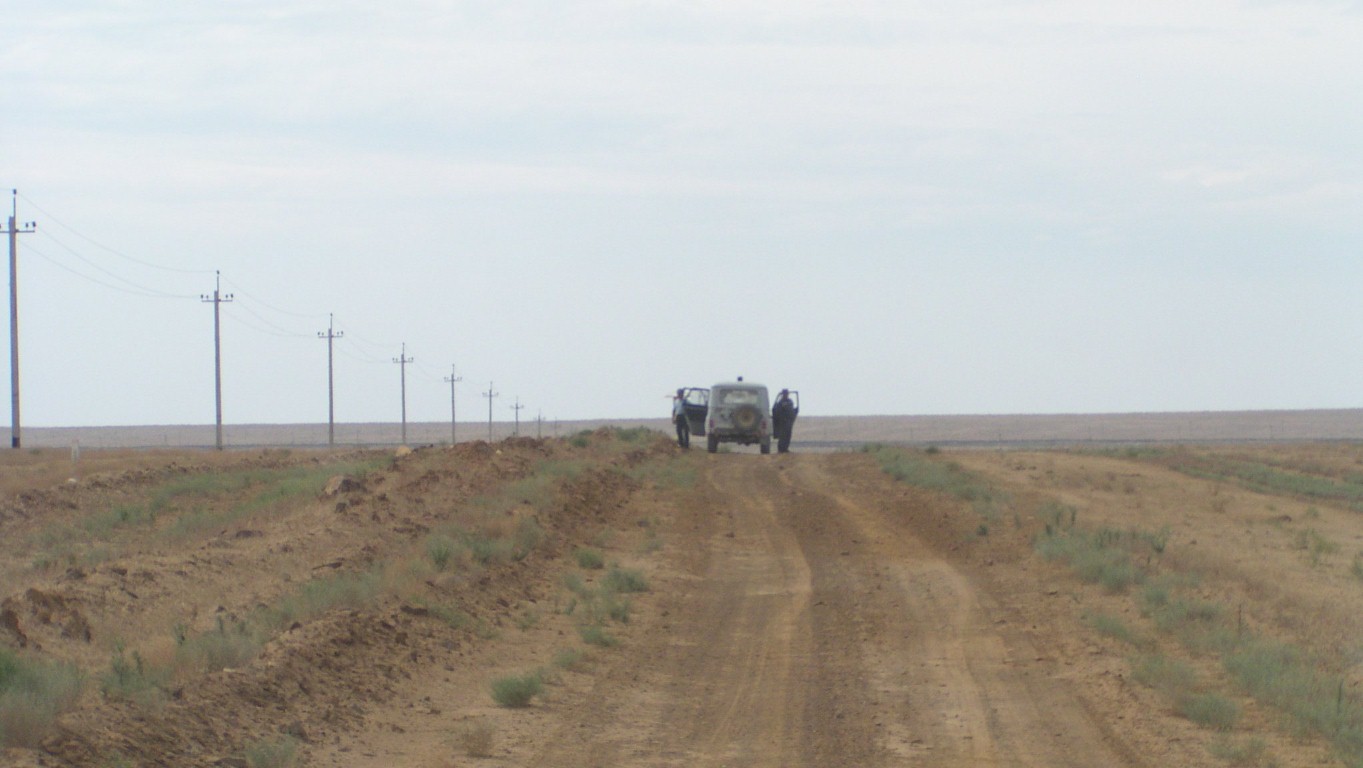
Shortly after we started we were waved down by a security vehicle.
"Australia" seemed to be the acceptable magic word and we carried on.
But the internet works.
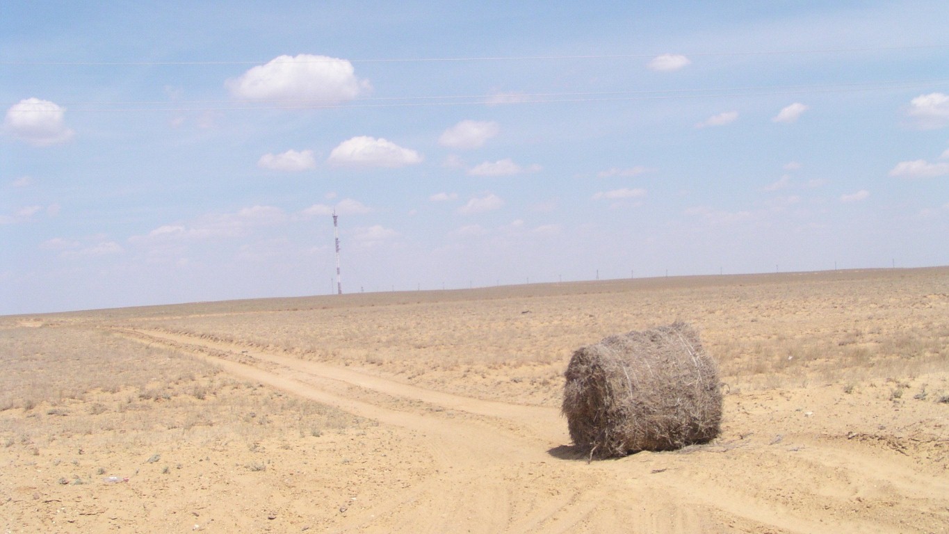
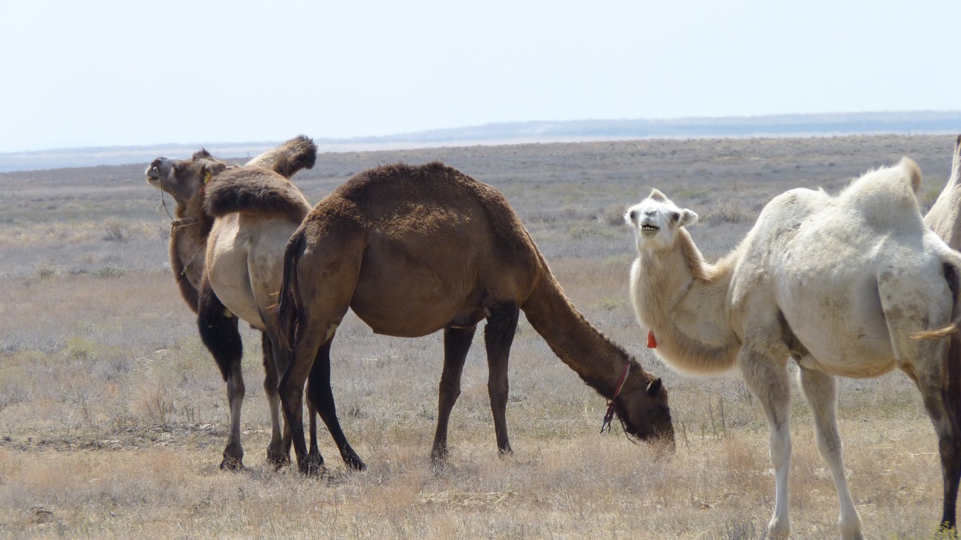
Not sure about the lonely bail of "hay".
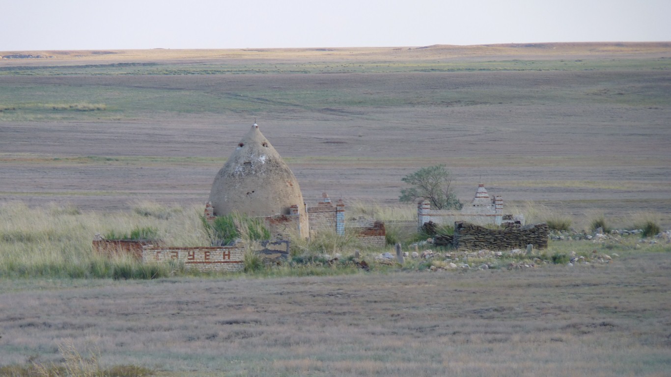
No town near.
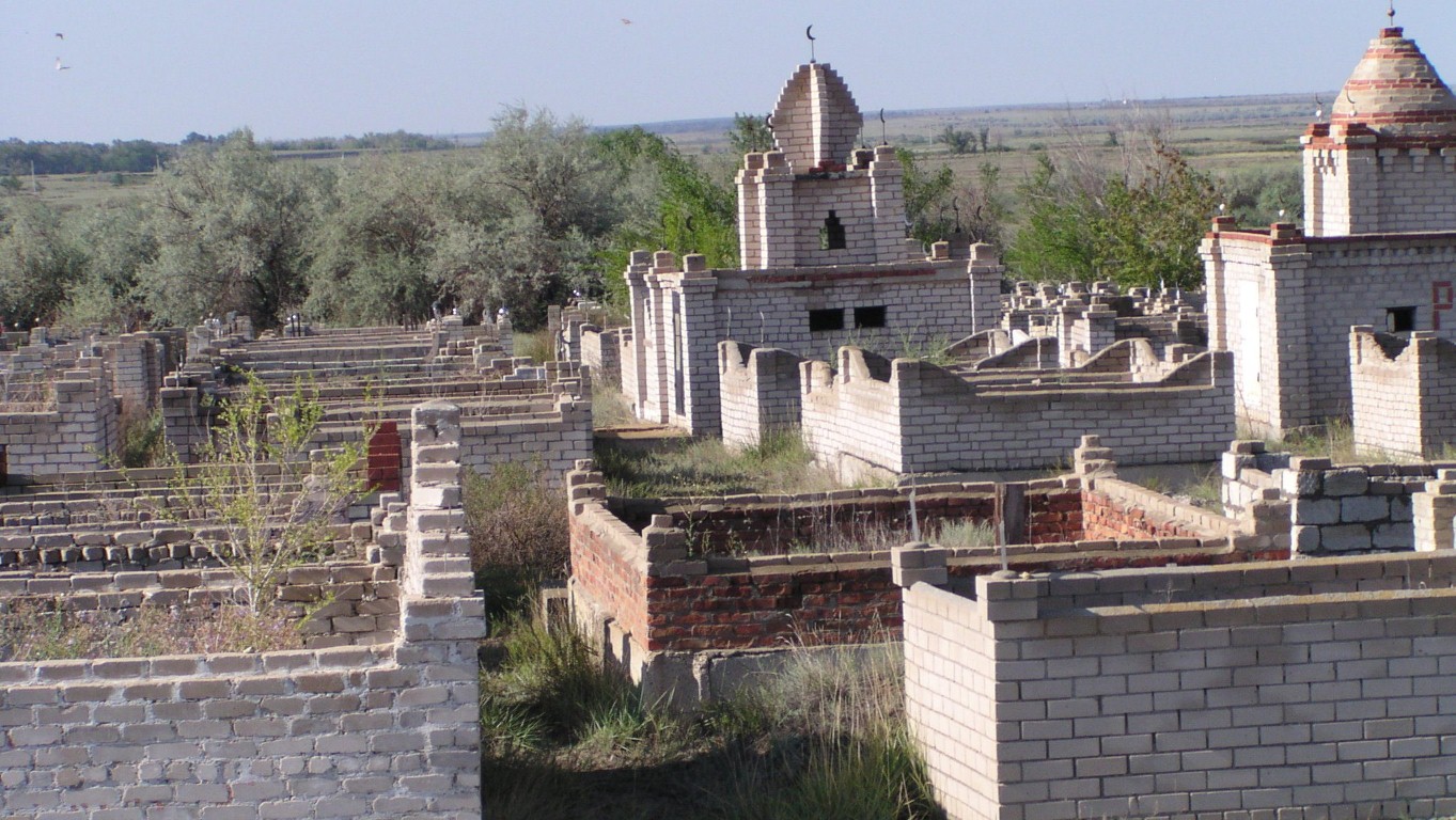
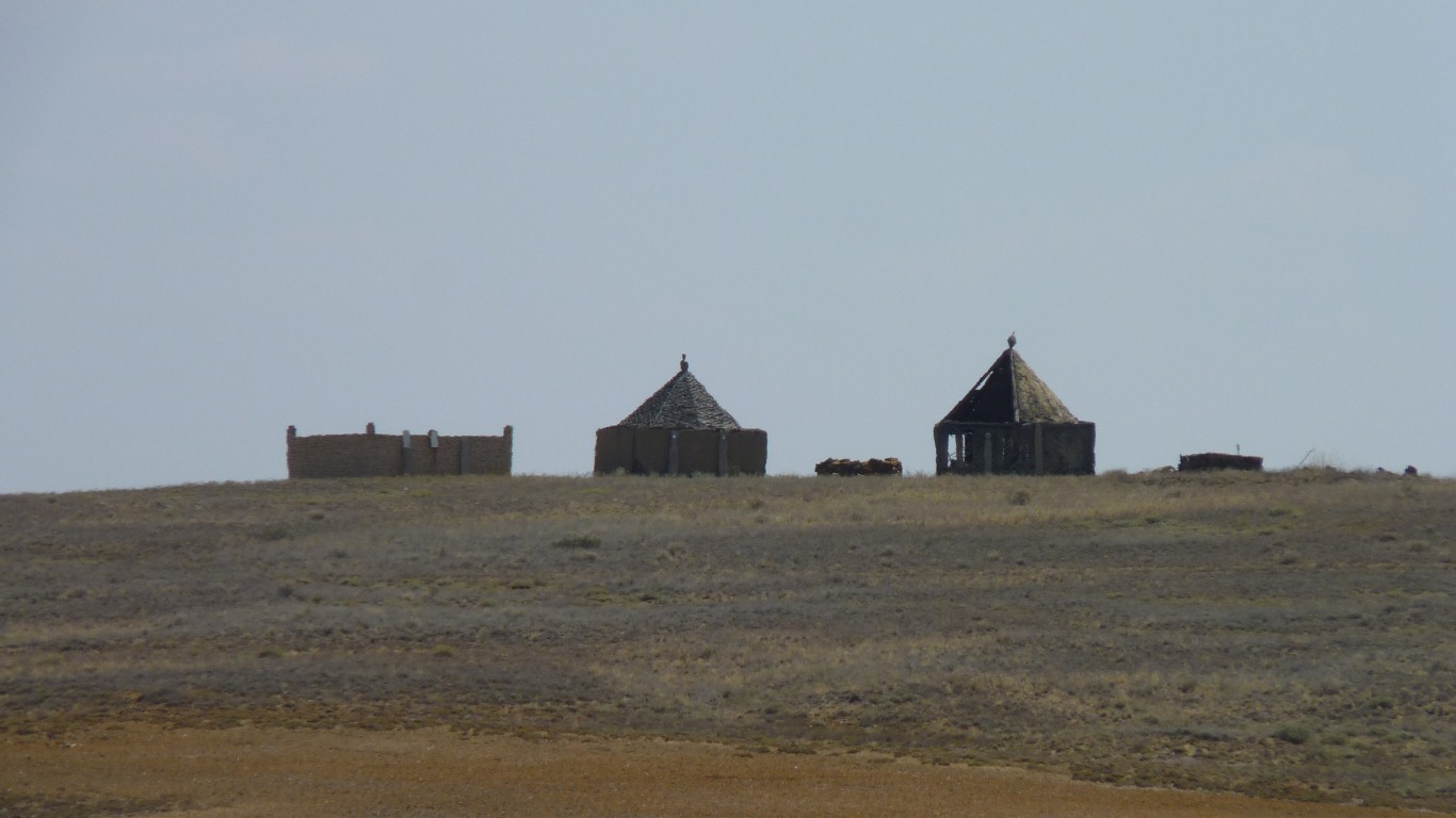
Kazakhstan was "de-nomadified" by the Russians in the 1920's.
A lot of resistance, killing of flocks rather than give them up, and starvation.
We wonder if these isolated mausoleums go back to the time when people roamed more freely.
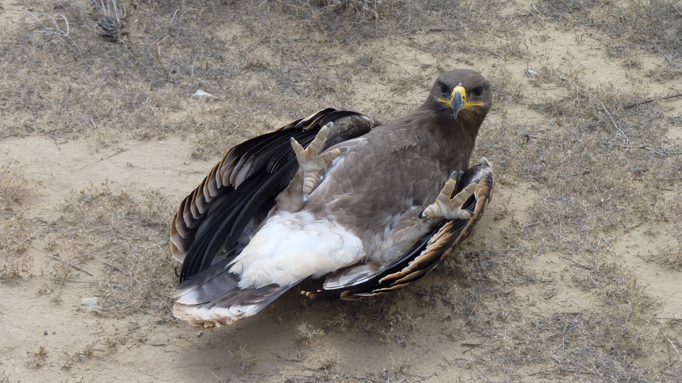
We got the camera ready to catch it in flight.
But it must be injured, fell, and lay, stuck, on its back.
We could either try and tickle its tummy or right it.

Though it couldn't fly off.
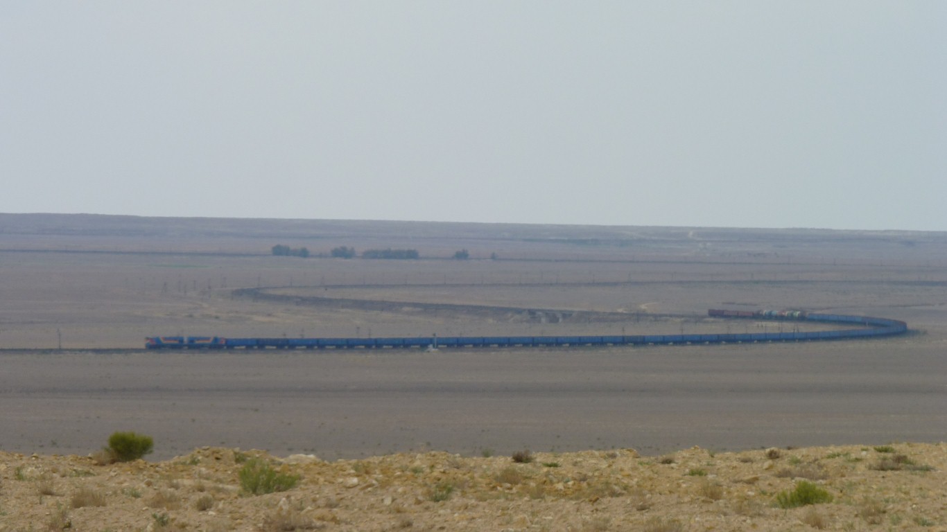
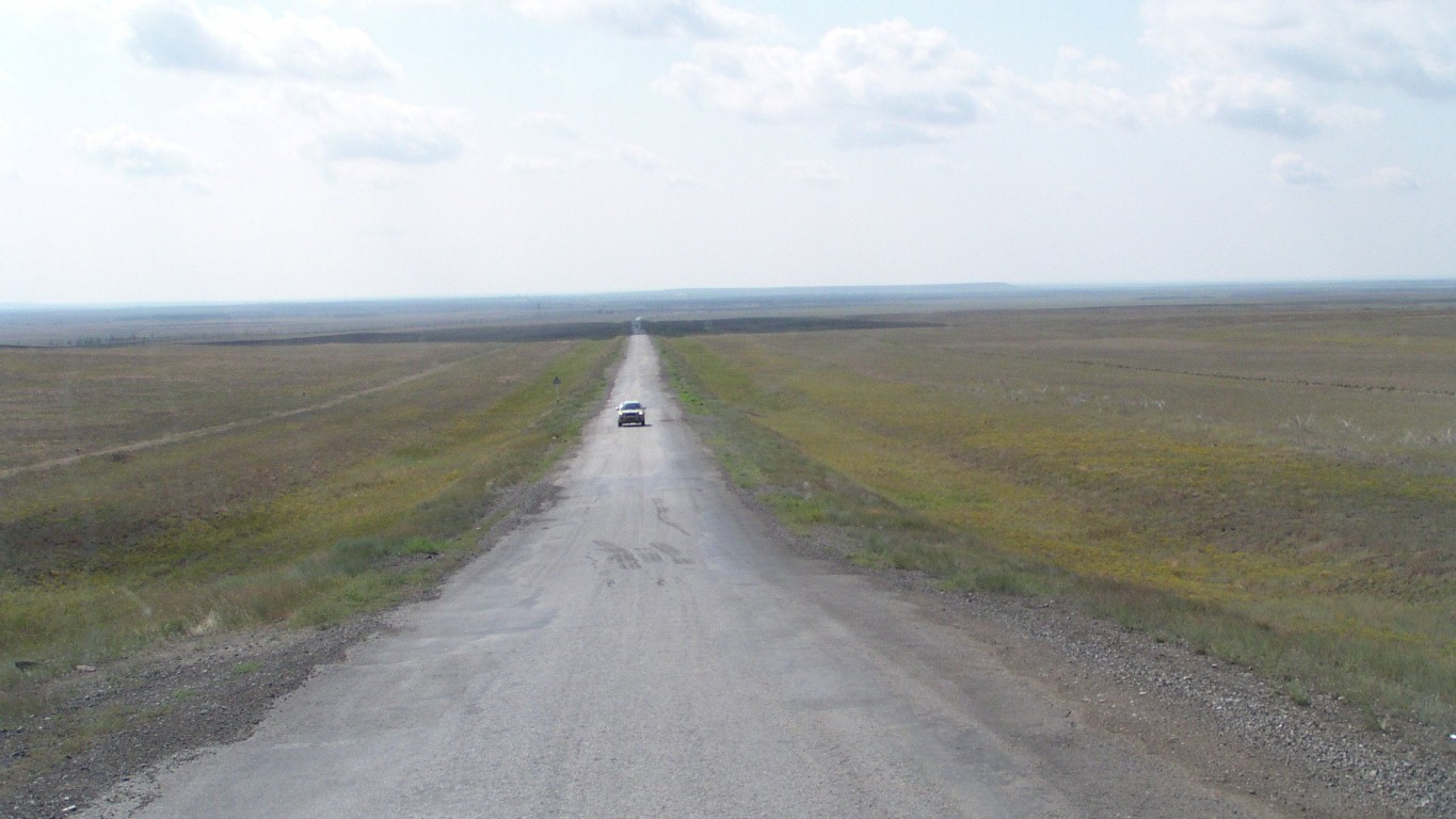
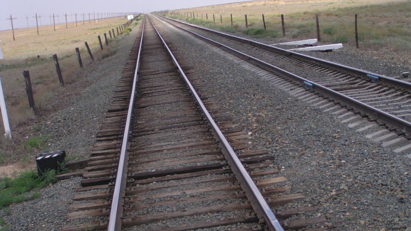
Looking south-west the rail line snakes a bit. A train at least every half hour.
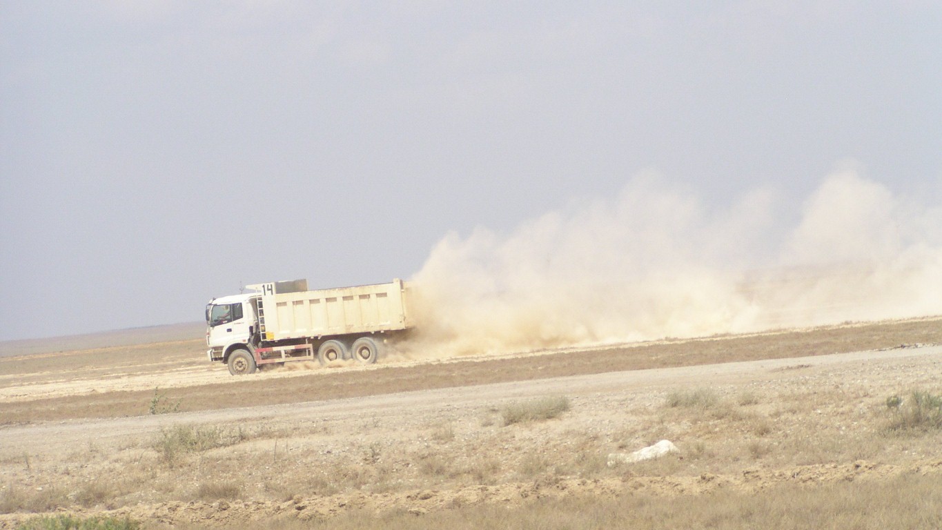
We've traveled 100km for the day.
But it was easier. A consistent 20-30 km/hr with some corrugations but mostly sand or clay and just bumpy.
Much easier than the constant gear and direction changes for potholes, bumps, mughals, corrugations, craters, ruts, wash-outs, etc. of the last few days.
Using the binoculars we now also know what rail crossing look like out here - they don't occur where the sidings (and villages) are. They are where the line is single.
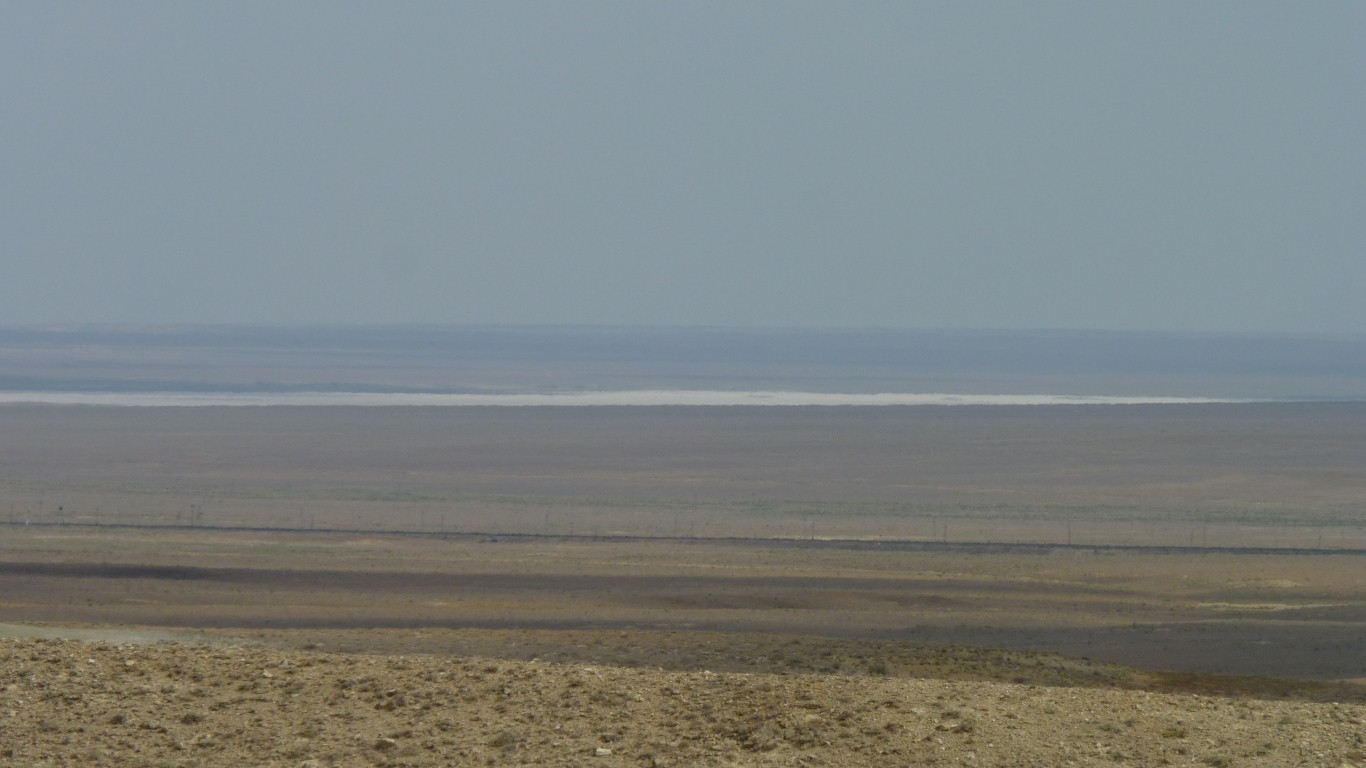
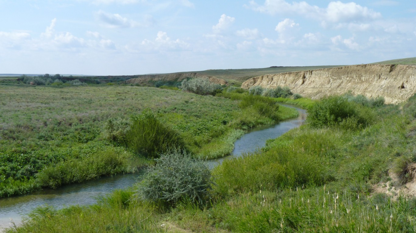
That's water. To the left it seems to become salt flat.
Part of a river bed which empties into the Aral Sea.
The North Aral Sea is being refilled but we are still a bit surprised to see the water here.
With Toguz in the background.
We slept in a bit!
Or what used to be the sea.
Same magic word worked.
We've also seen it called Zhalanash. But then we've seen Zhalangash further south on the Reise Map. And then we've seen it said that 2004 Reisemap has the ship cemetery marked in the wrong place but there's no date on the digitised version.
Somewhere on the other side of the rail line there's the old coast of the Aral Sea and the remains of a ship cemetery.
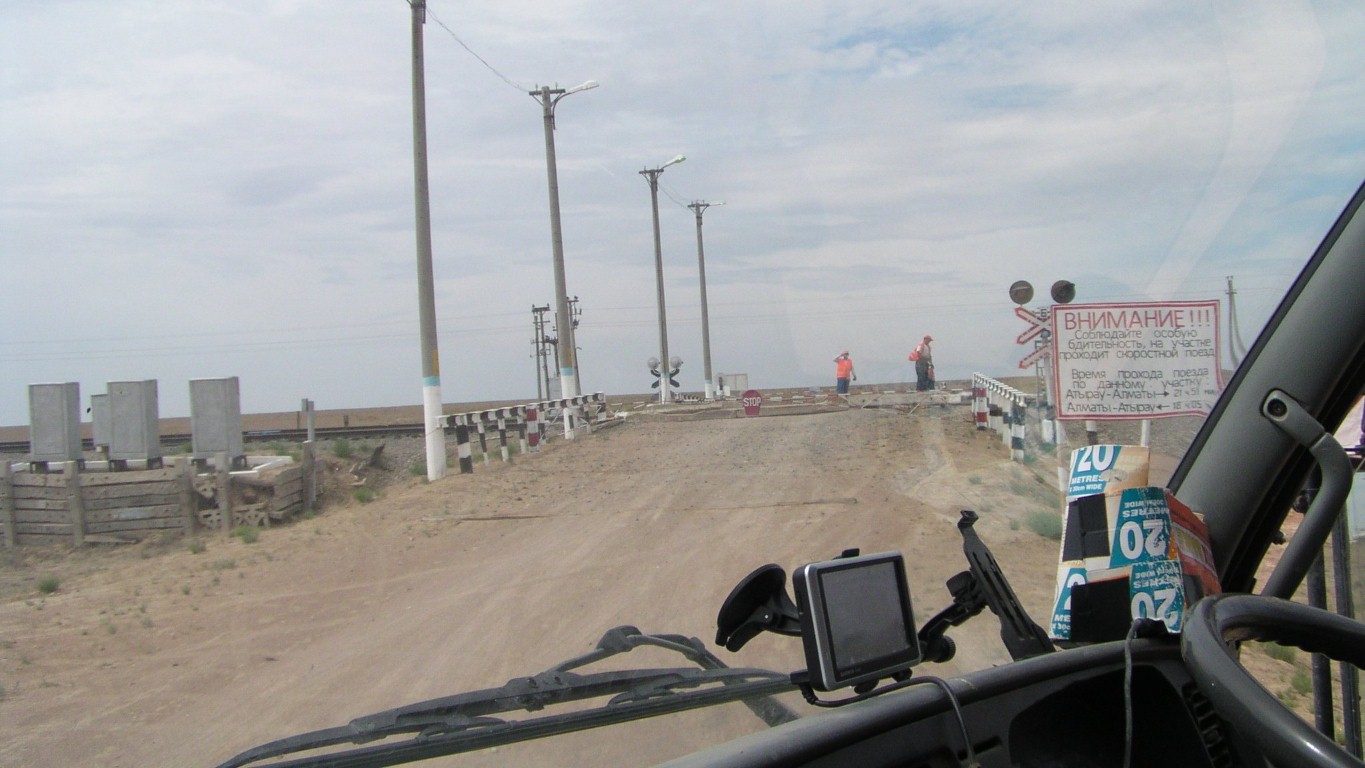
The only level crossing for miles,
well km anyway,
is closed for maintenance.
The water flowing into the Aral Sea was diverted by well meaning Russians, about 50 years ago.
To grow cotton.
They understood the consequences for the Aral Sea but proceeded anyway.
The ships were beached as the sea receded.
There are apparently few left now as they've been broken up for scrap.
We'll lick our wounds, contemplate the futility of following a pipeline track for two days, and carry on.
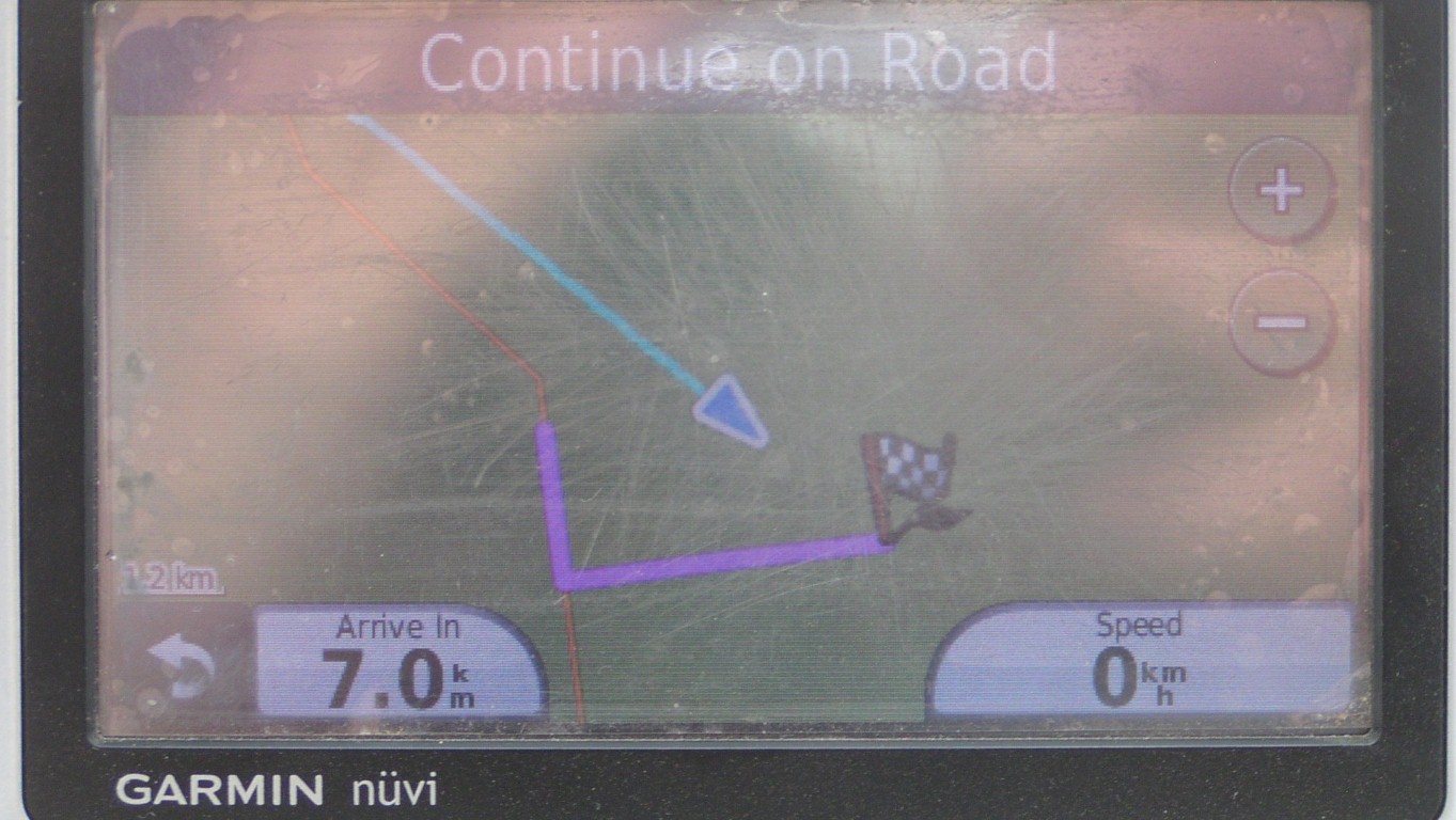
And we've been able to work out why Garmin tells us 7km instead of 2km to destination.
It finds the closest road to current position, starts its guidance from there, then draws a straight line to destination from closest place on road.
The blue line is our actual course. A straight line to destination as found on the satellite imagery.
Garmin was not designed for this sort of use.
Further back.
But at one time it possibly was.
Headed towards the M32 and Aralsk.
We are still tired and will need to stop for a couple of days sometime soon.
It took about a half hour to explain, get the job completed. I removed the second strap, removed temporary webbing, and fitted welded straps.
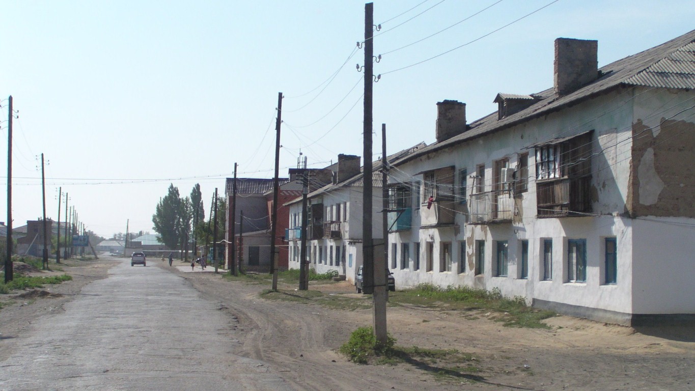
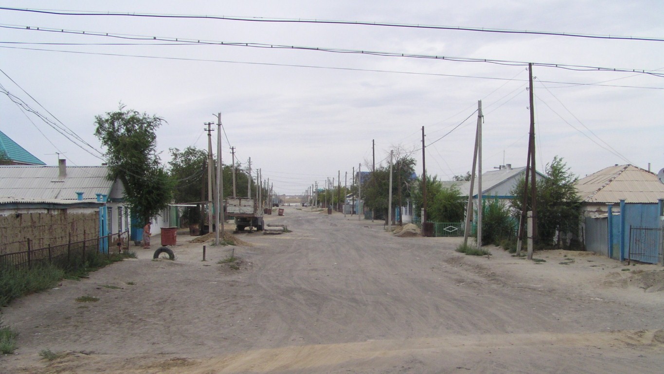
Aralsk is half the size it used to be. About 37,500 people.
It was a major fishing port on the Aral Sea.
They will finally get some sea back in port in the next few years.
Stopped after about 20km for a roadside camp.
A few spots of rain, which makes us grateful we aren't still on the pipeline road as it would turn muddy fairly quickly.
Did I mention we are tired and need a rest!