Possibly for as long as 400 years.
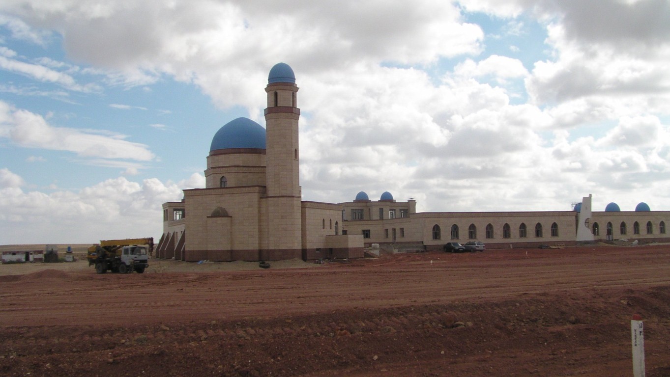
This mosque is on the main road opposite the memorial.

The stringed instrument that Korkyt Ali invented and played.
Korkyt Ali was pagan, before Islam found its way here.
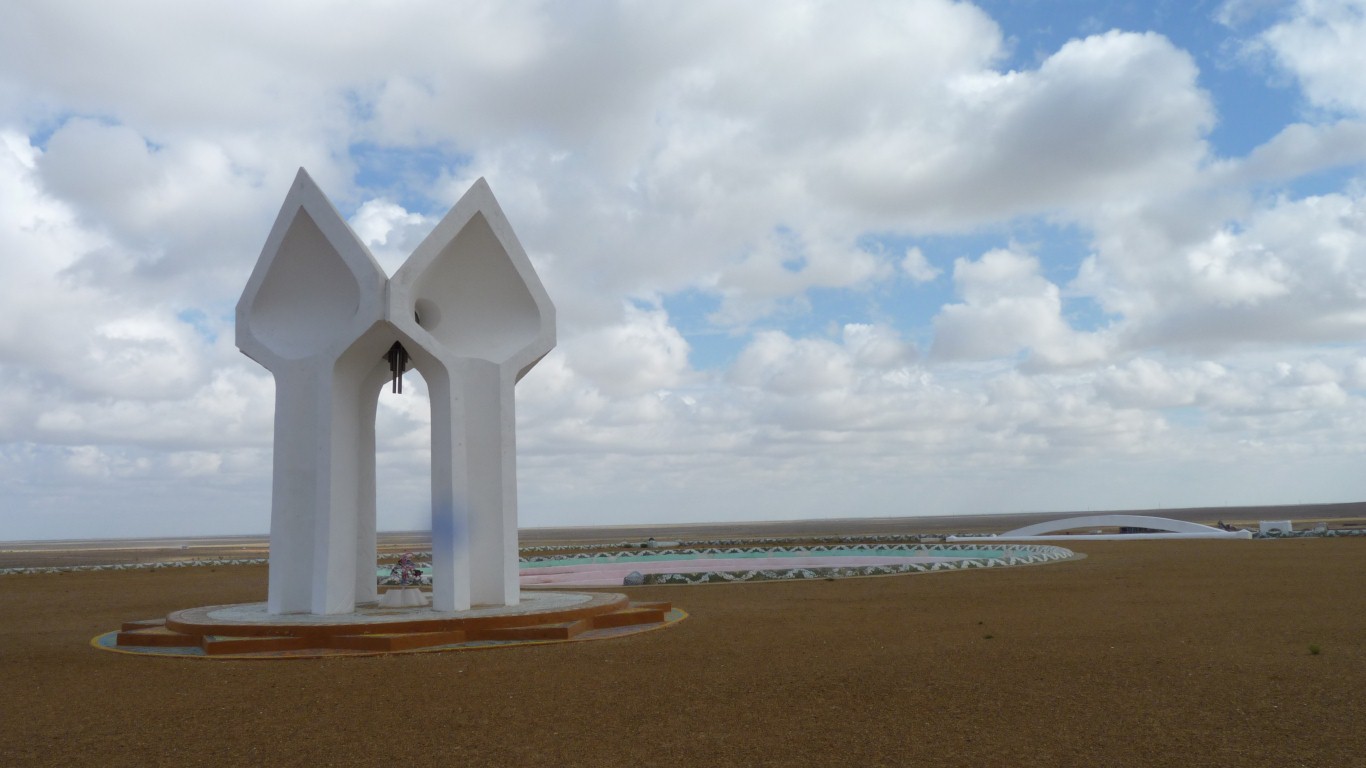
Hanging in the centre.
Of course the wind was blowing. We think it always blows.
And a much better use for it than wind farms!
Next to this was a triangular pyramid, treated like a Mongolian Ovou (walk round 3 times etc.).
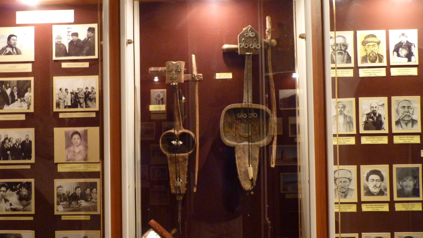
A mixture of musical and general history.
We were nearly stumped!

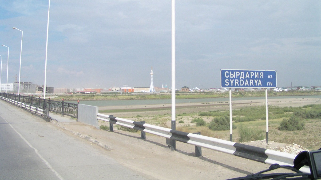
We wonder if its one of those rivers that disappears into the sand and reappears.
Or at least its flow changes.
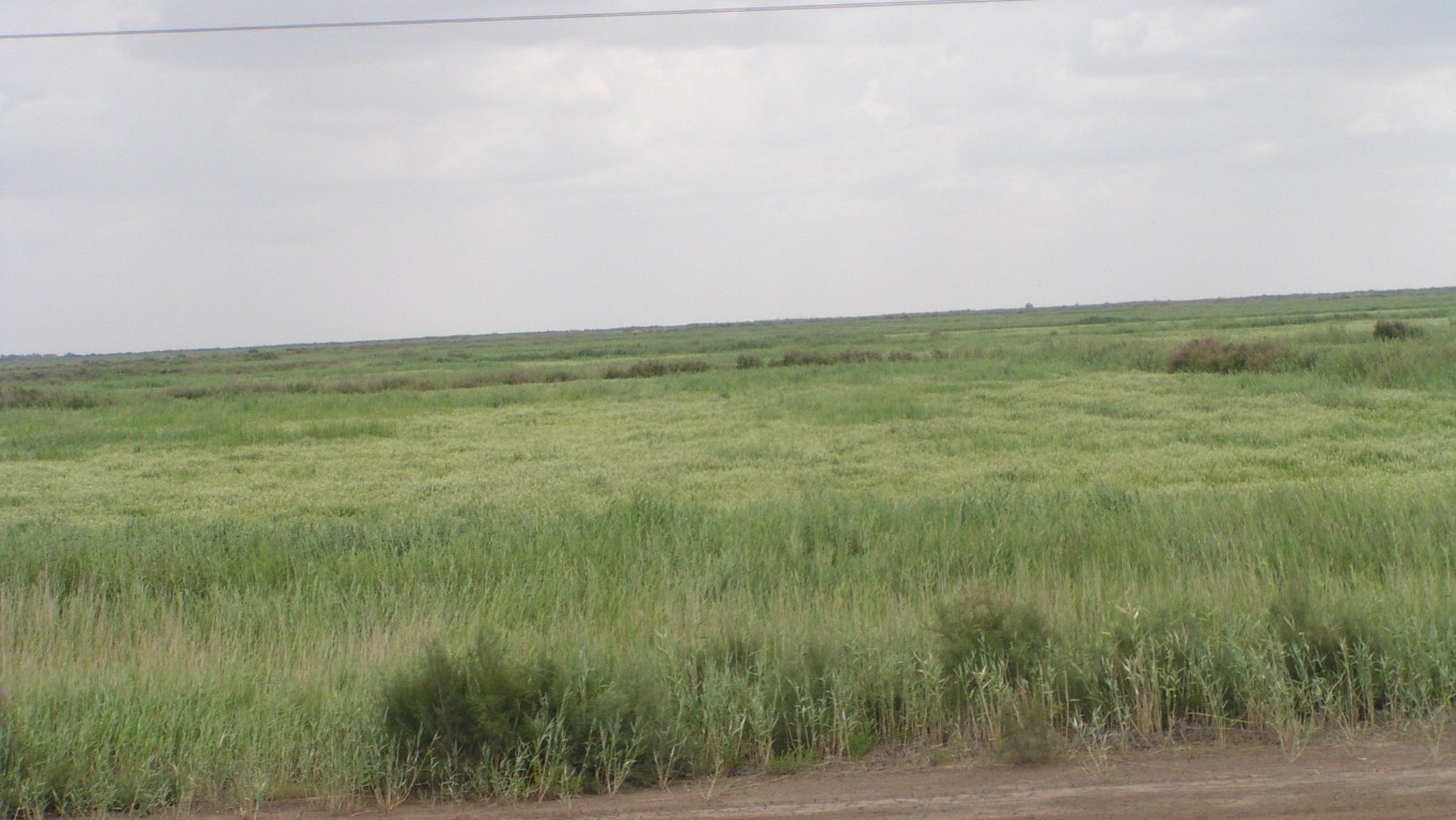
And rice.
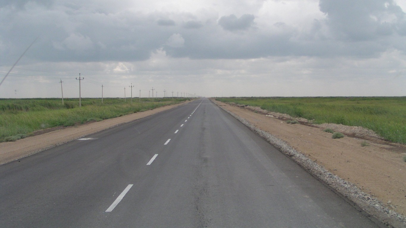
The road improves.
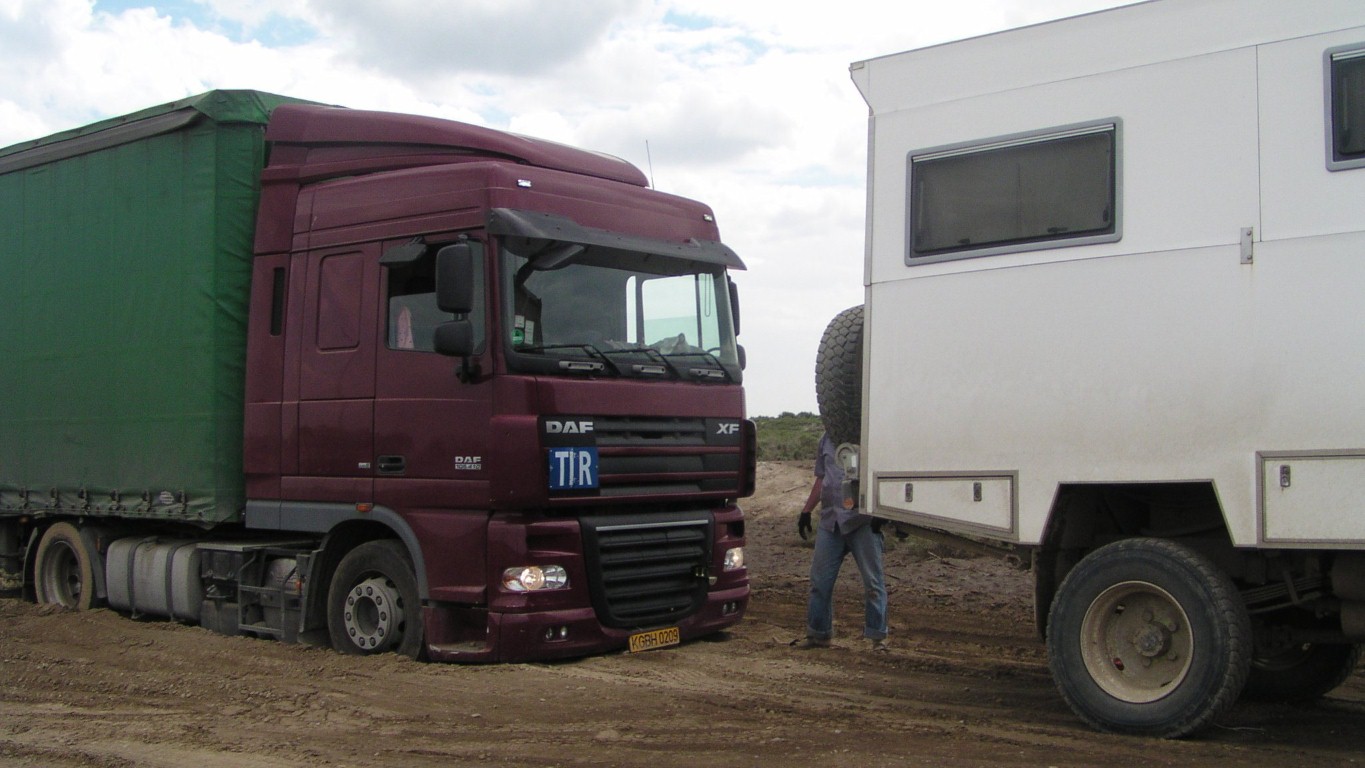
The truck was going the other way. Stuck in a patch of dust. Moving a bit backwards and forwards but spinning his wheels as he tried to get up out of the ruts.
We turned round to help. After yesterday's triumph with the car we were ready for a bigger challenge.
Not as bad as it looks. Just needed that little bit of help.
What's Kazakh for "keep to the right through the dusty bit"?
We were back onto the seal a few hundred metres later. A couple of trucks were queued, waiting to make sure the road was clear and ok.
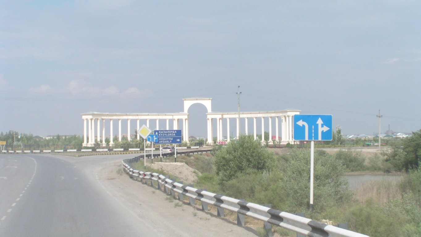
The straight on road goes round it to the left.
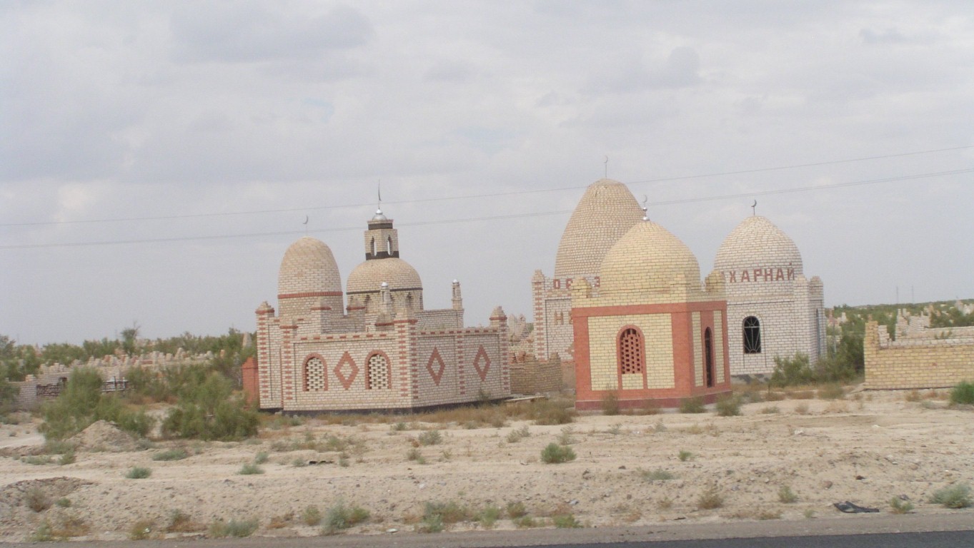
We are beginning to learn of the Kazakh respect for the dead.
We stopped after about 260km.
Failed to find the river so stopped about here for the night.
Next day we met dual carriageway and things were suddenly better.
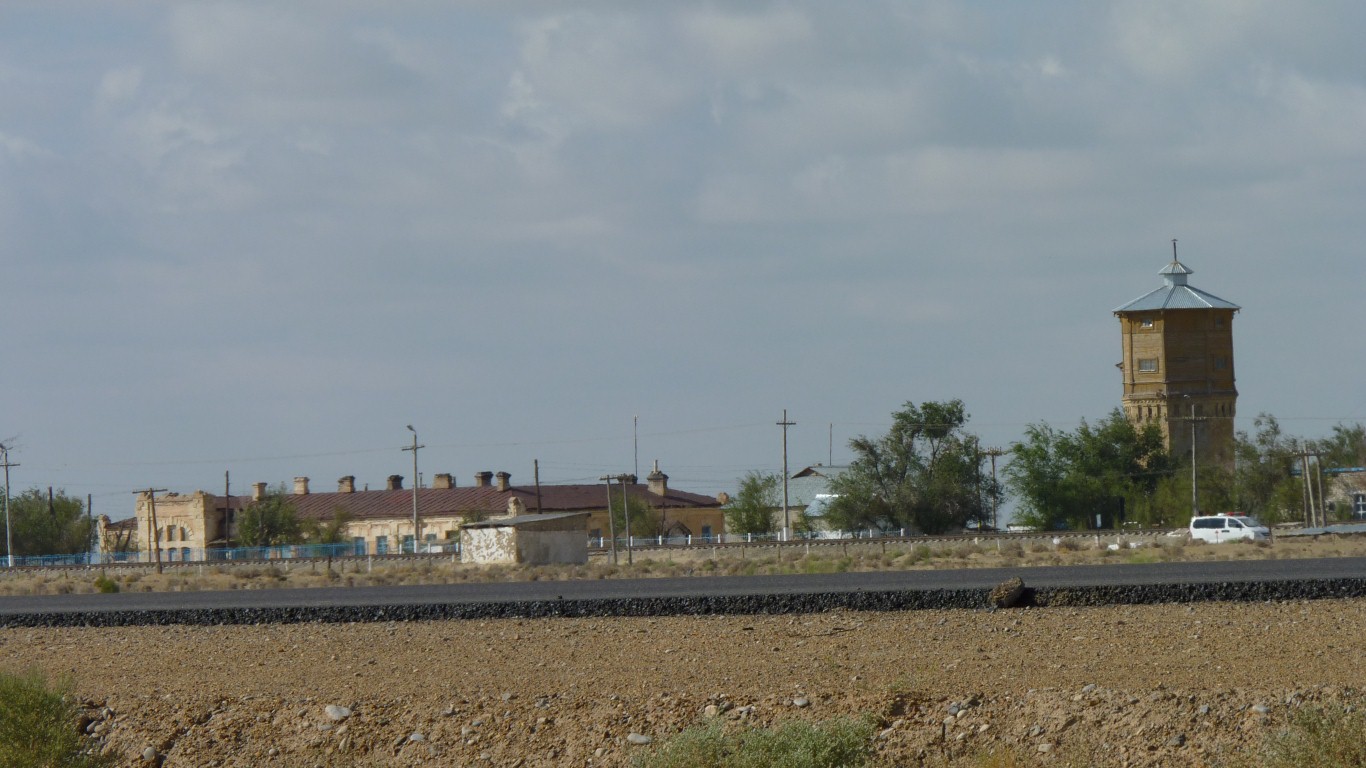
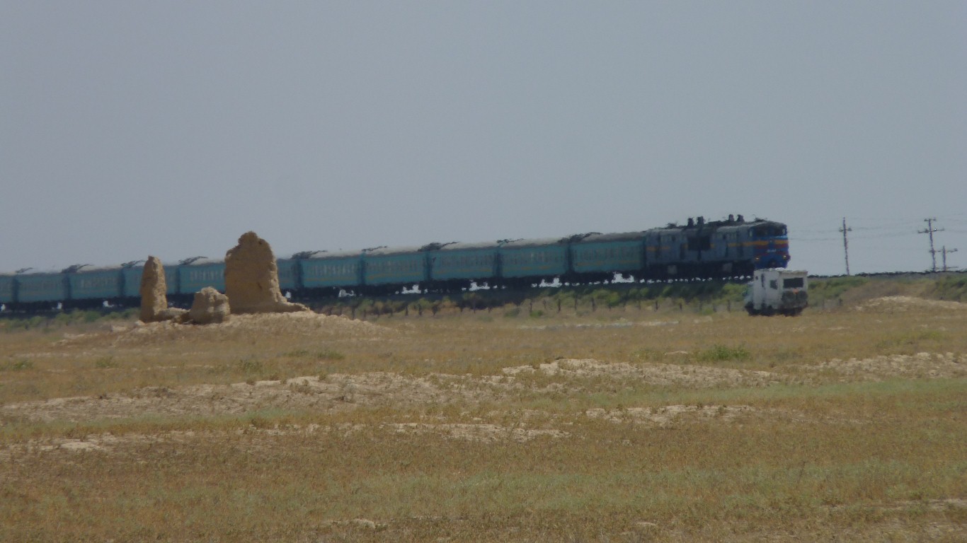
The sidings all have their water towers and railway architecture.
It took a bit to know where it is. But given enough clues it was obvious on the satellite images.
The coordinates on the M32 are 43.5311,67.7816
Its about 600m beyond the rail line.
They lied of course, it was 2.8m when I measured it.
But we still had to walk.
The rail that the height gauge is made of was rolled in Illinois in 1943. I wonder how it got here?
The Russian standard gauge was 1520 mm rather than the more usual standard gauge of 1435 mm - rumour has it the Czar at the time thought to limit the ability of one's enemies to use the railways for invasion.
The Germans simply changed the gauge by moving one rail across the sleepers.
Swings and roundabouts really, it made it difficult for Russia to invade anyone else.
Measuring the gauge of main rail lines can be a hazardous occupation which I don't plan on following. My curiosity has limits.
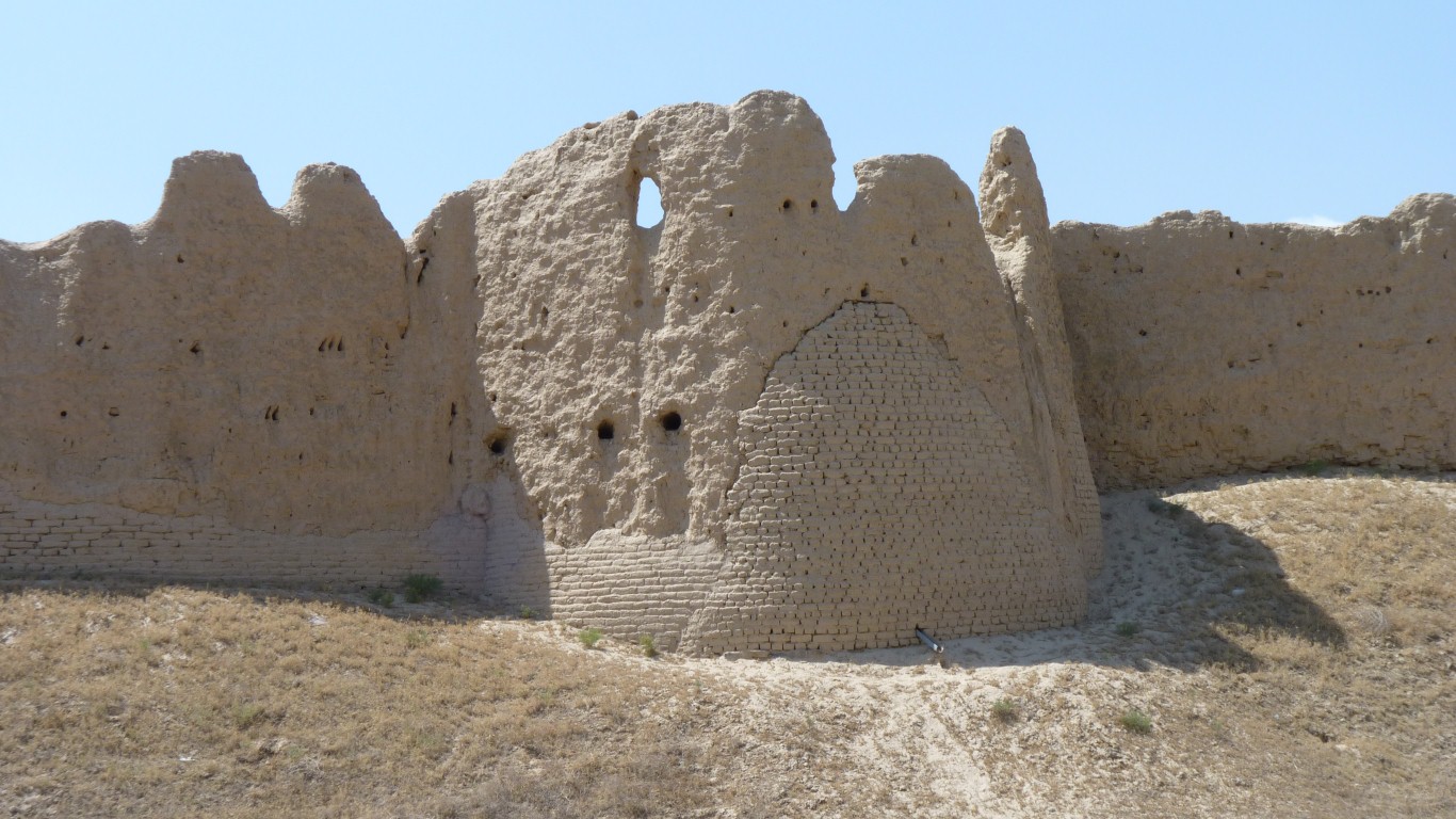
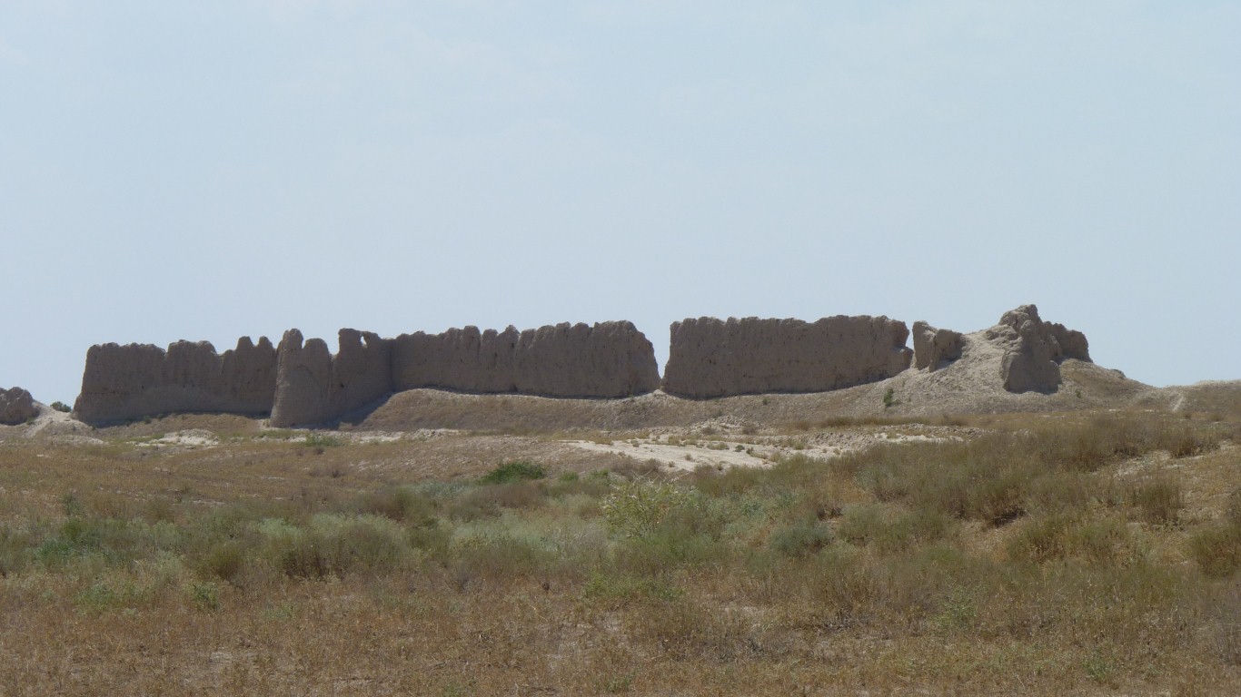
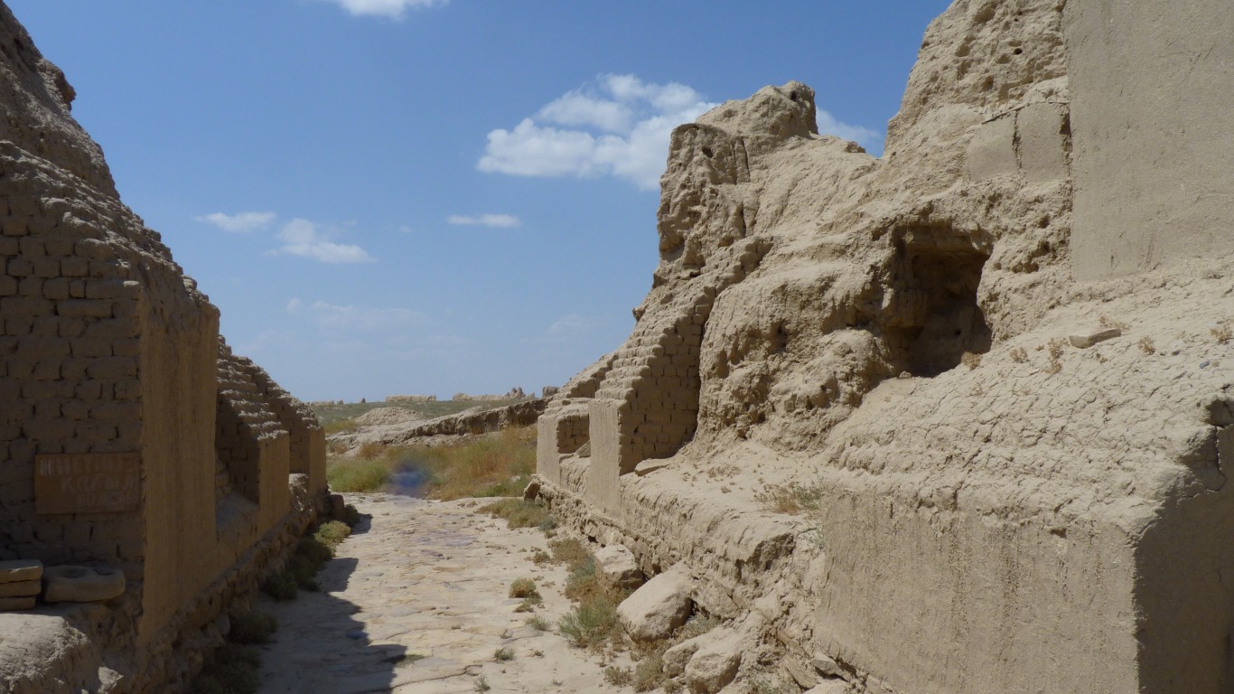
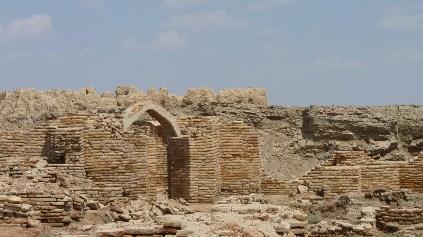
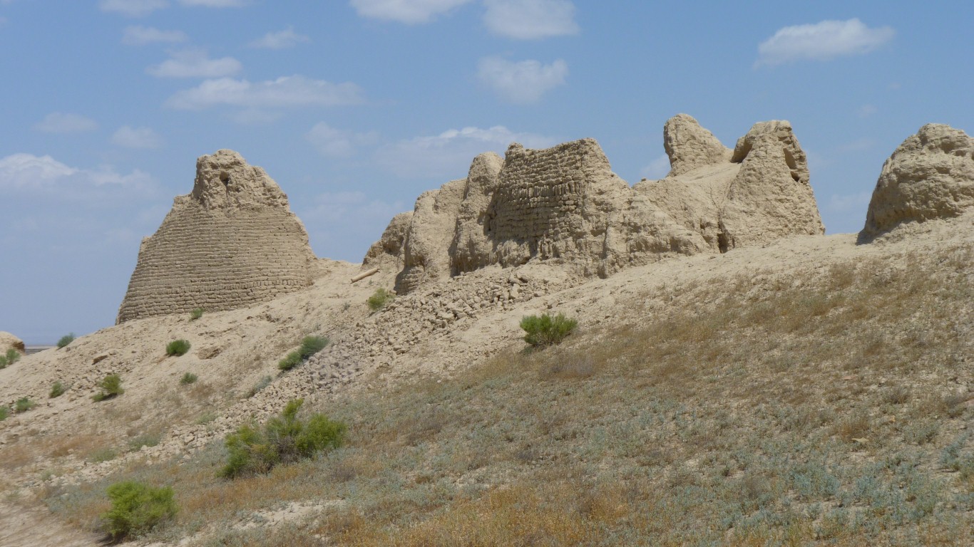
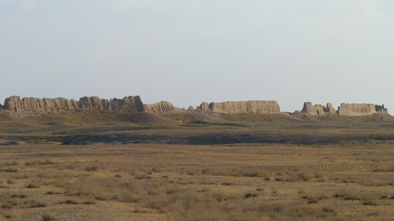
Karatobe occupied from 1st to 13th century, Sauran from 13th to 18th century and Mirtobe 14th to 17th century.
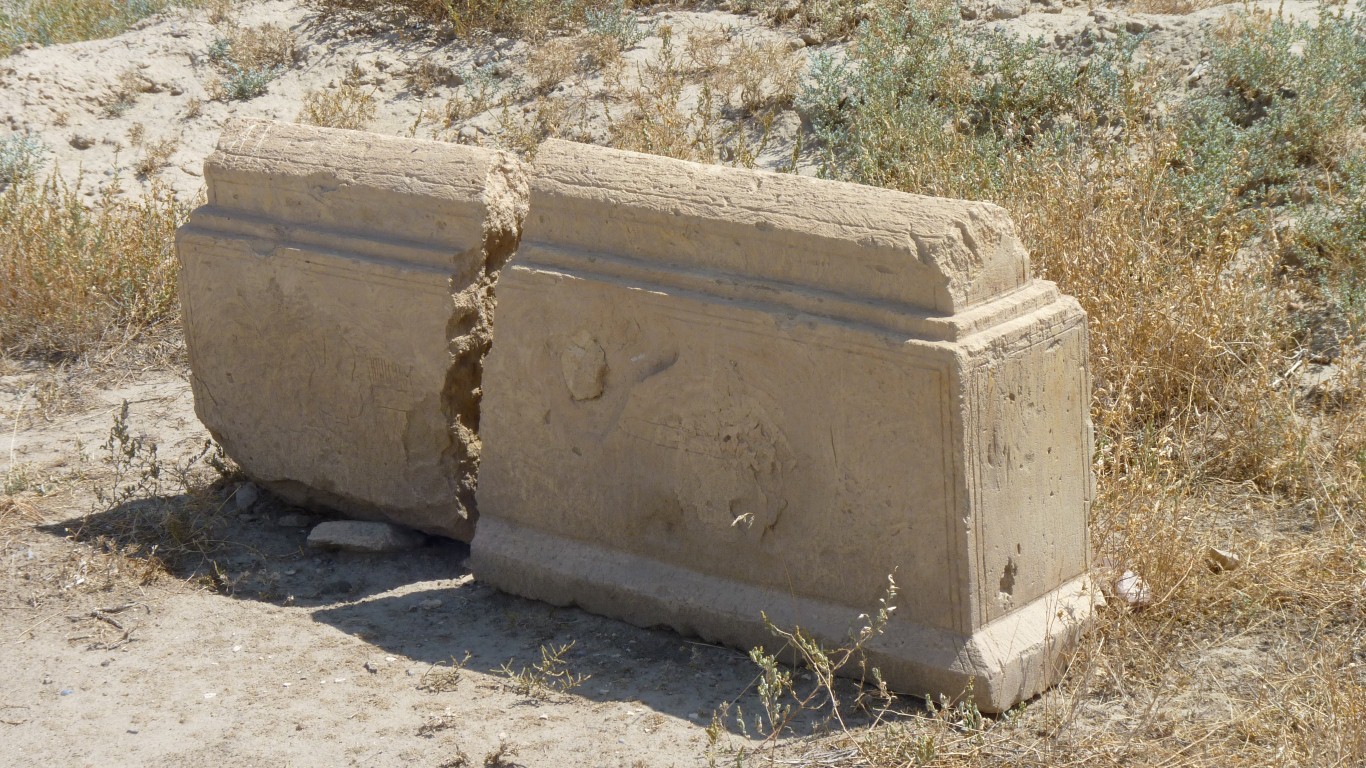
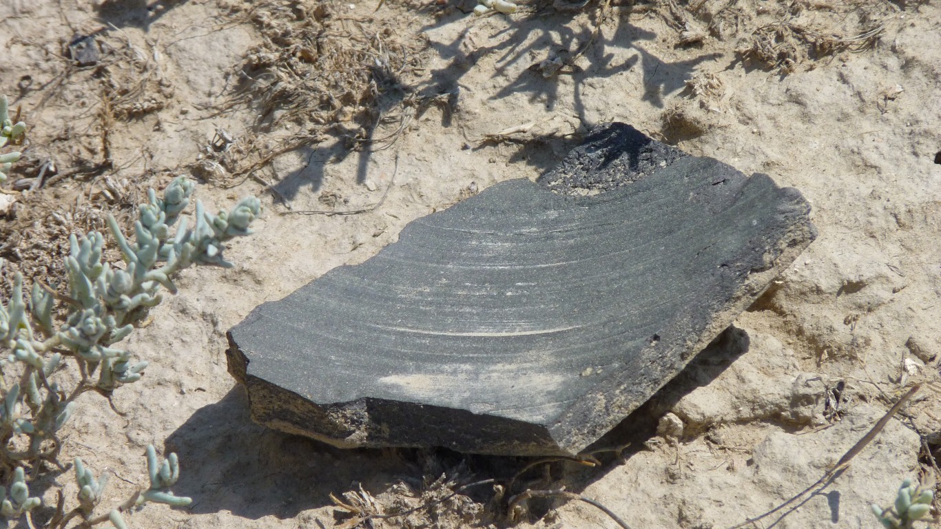
The bricks may be limestone bricks. But we haven't seen any limestone recently.
Its situated where three streams meet. The Tastaksai, Aksai and Maidantal rivers. So its called the TAM region by the archeologists.
Besieged by the Mongol hordes in the 14th century, taken by starving the inhabitants.
It became the White Horde capital.
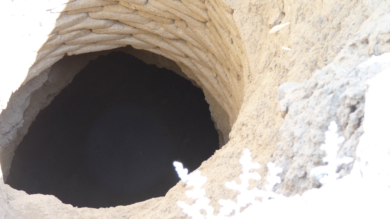
This well has a horizontal passage leading away.

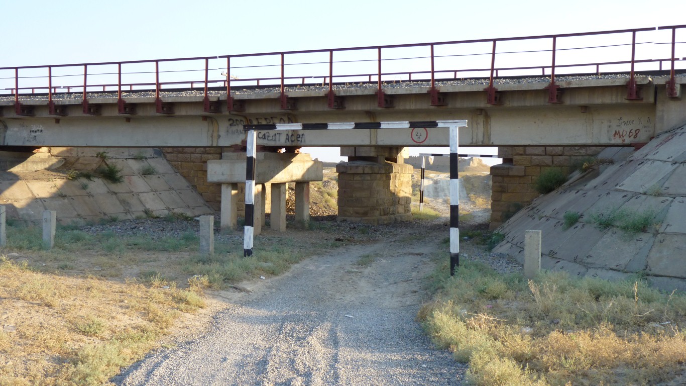
We'd planned to drive there, some of the three concentric walls remain, but the bridge stumped us and there were too many other interesting things for us to walk the 3km.
I went in search of karez.
Same height.
As well as the three major towns there are also seven smaller towns, 100 small settlements (including neolithic and bronze age), 100 medieval villages, and three clusters of kurgans (burial mounds).
If only we knew where they all were.
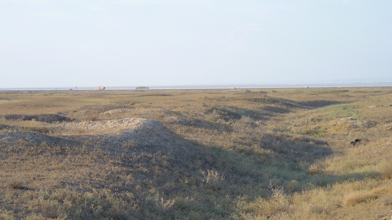
This is a line of wells.
There are 10 lines in this group which converge, a total length of 4.4km.
The wells are about 2m across and 10m apart.
There's a total of 124 km over an area of 176 km2.
They have been built in the alluvial fan of the three streams. The pebbles we see in the sand are all water worn.
One of the problems for amateur archeology is fathoming out how the real archeologists have effected things. I'm sure I can see signs of ecavation of wells using a large front end loader.
There is a line of thought that the karez originated independently of the Persian Qanat (which we learned about in Morocco).
But of course others think they are of the same origin.
As best I can tell, Qanats are wells connected by tunnels which direct the flow of water, Karez are a series of wells in an aquifer which are naturally connected and assist the natural flow of water. In this location through a pebble layer in the sand above an impermeable layer of rock.
Most of the karez are north of us, north of Mirtobe, which is itself a couple of km north of the road.
Listening to the gentle clickety-clack as the wheels pass over the joint in the rails barely 60m from us.
Too lazy to move!
Tomorrow we'll be at the mausoleum in Turkestan at 10am. A passing family volunteered their English speaking son to show us around the town.