
In time for afternoon tea.
We can be forgiven for thinking this is a culinary expedition.
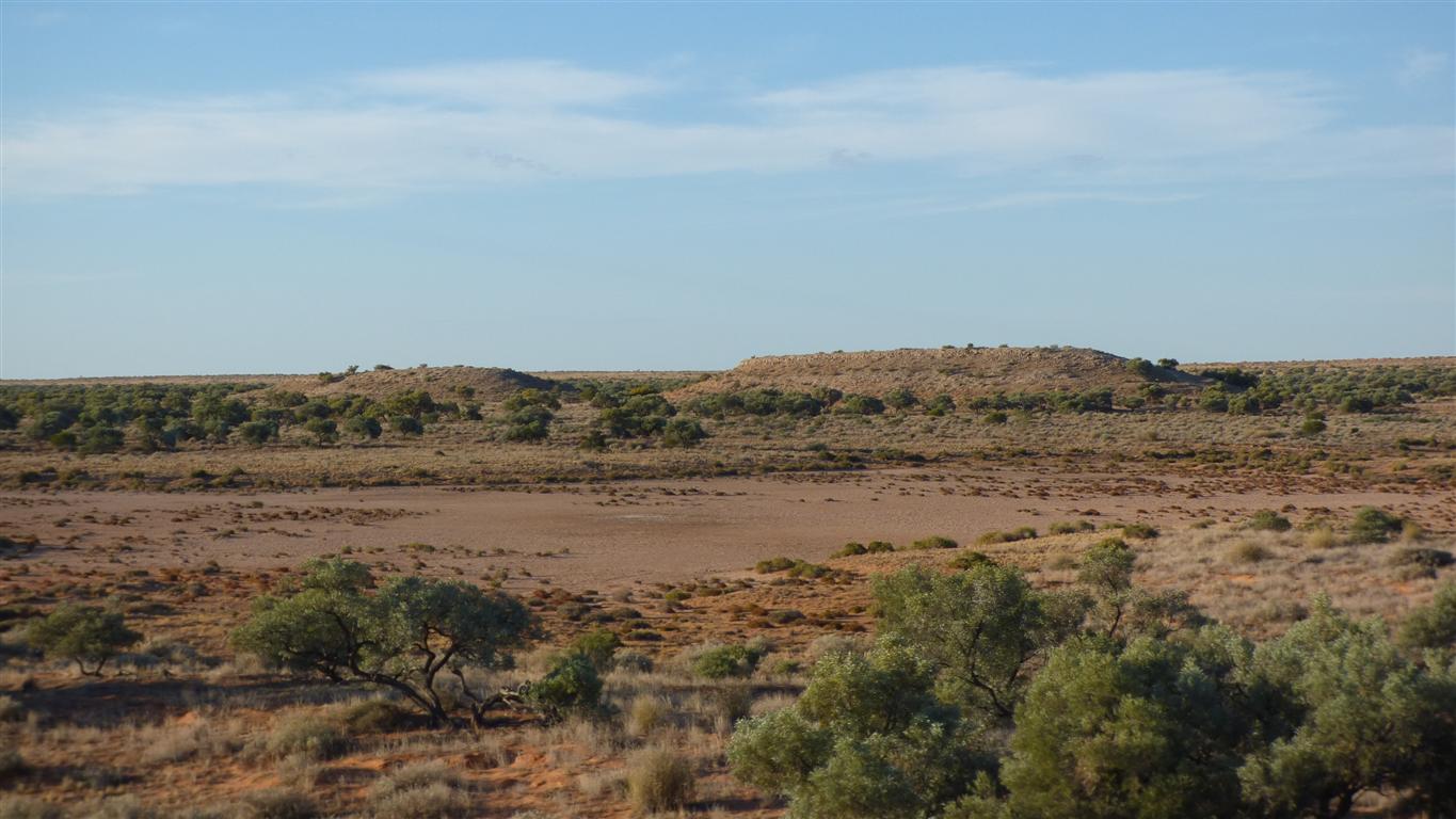
No camping for next 2km. That's 1km each side of the Knolls.
We like walking.
Give or take a bit.
From halfway down (or up?) the dune.
A different perspective can make them taller.

In flower.
Its an Acacia.
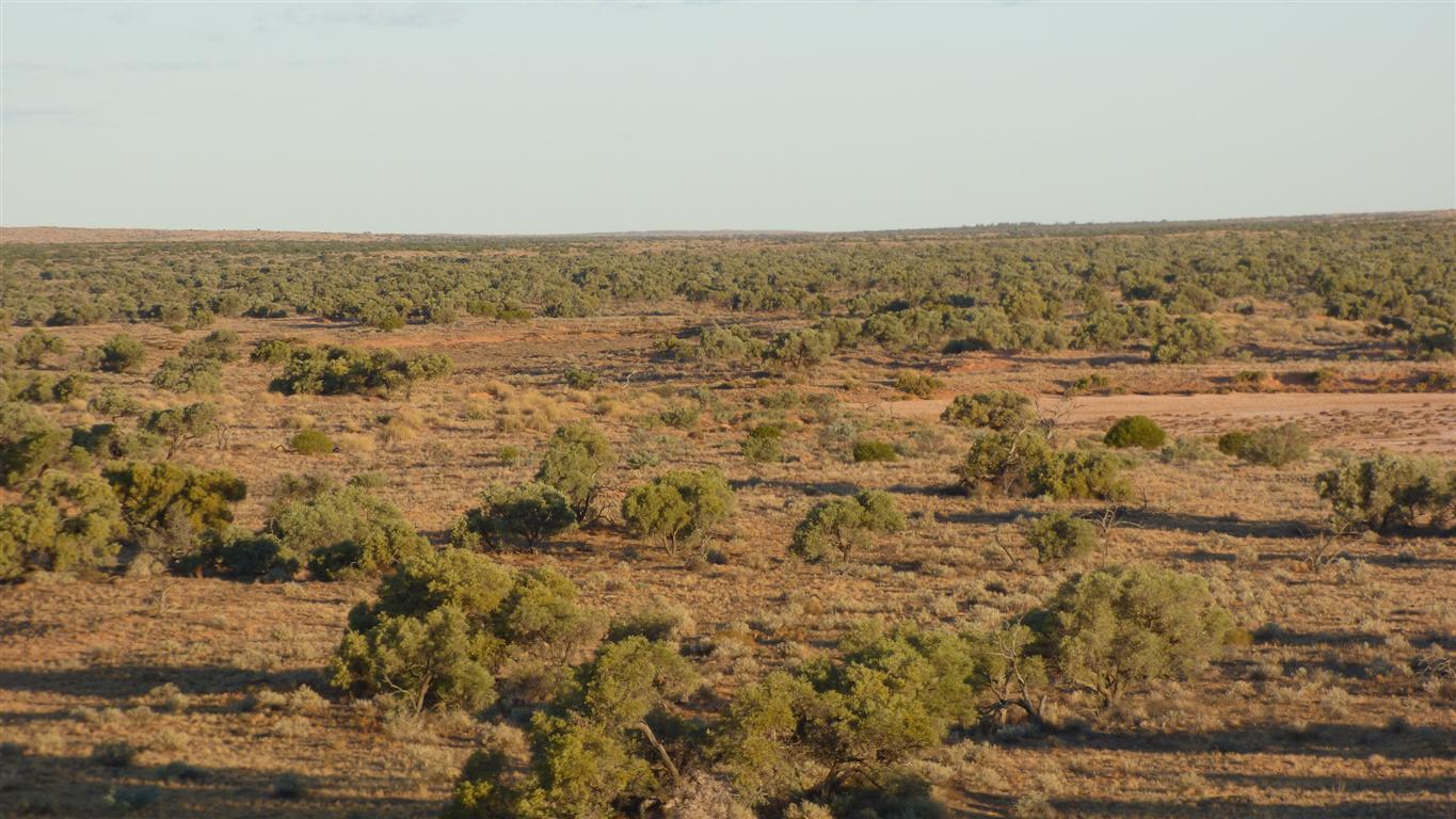
Gidgee trees forever.
Since its sunset, a walk to the Knolls.
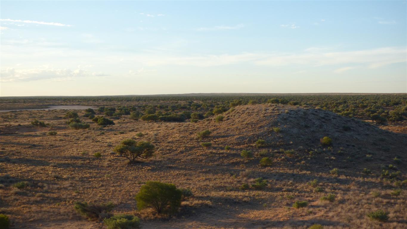
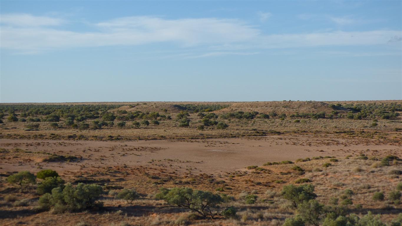
Lake Tamblyn (dry, ephemoral) further away to the left (north west).
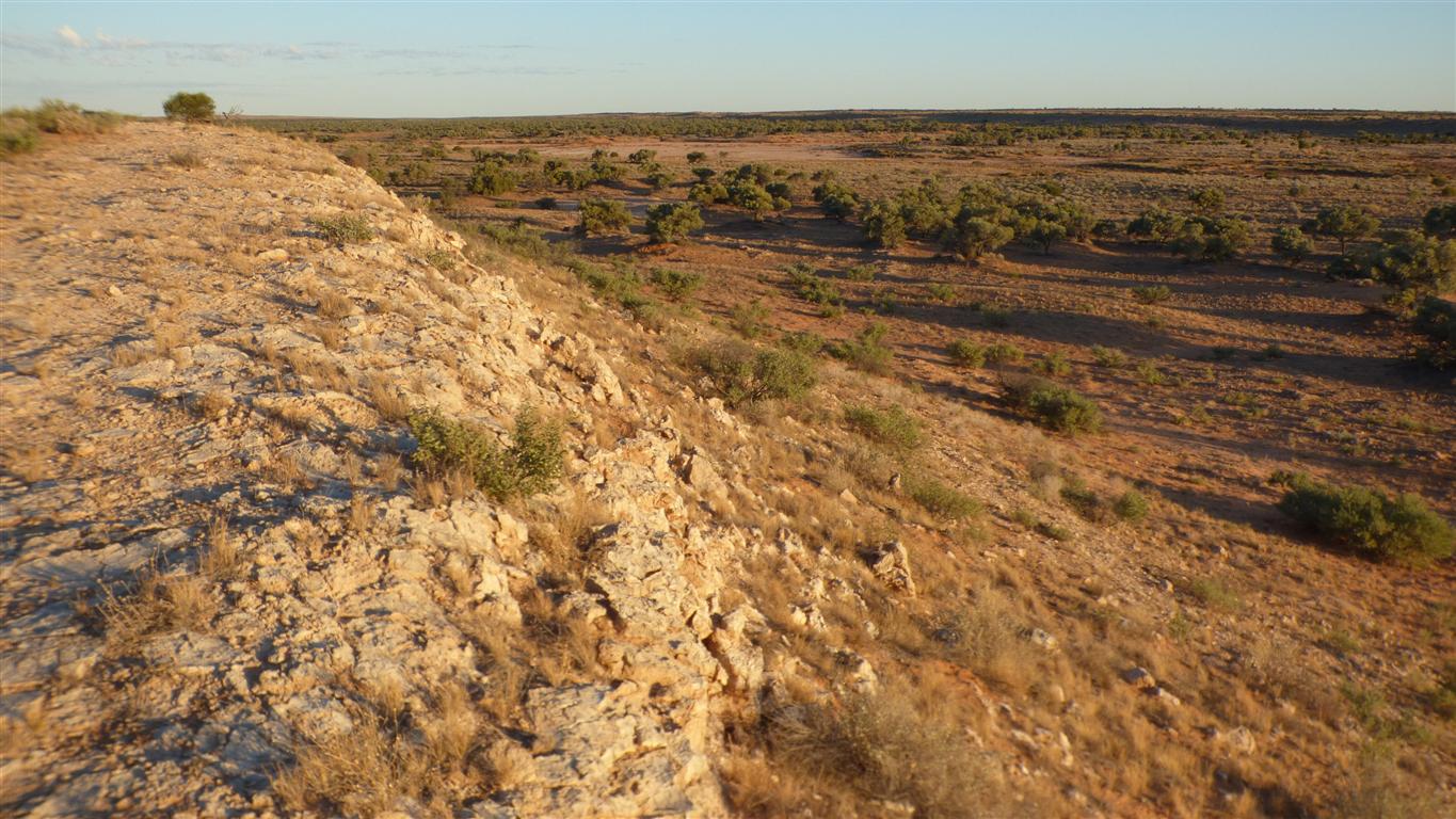
Blown from the lake beds. Possibly got a bit wet and became cemented.
A sign at the roadside mentioned limestone as well as gypsum.
Signs have been known to be wrong. At least confused.
They are the same as the rocks we saw at the roadside earlier in the day.
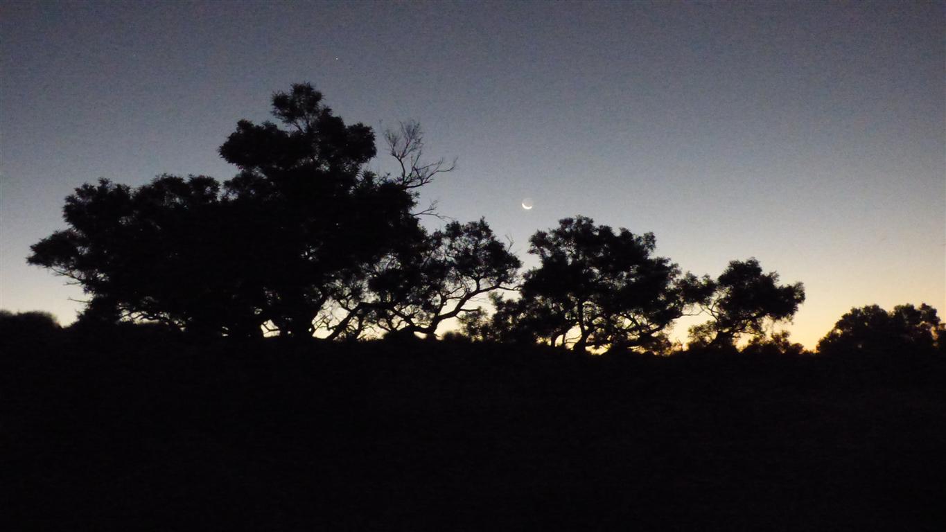
Showing our shared lack of knowledge of things celestial.
But capable of being enthusiastic about "there's a satellite" and "why is it flashing?". Not to be confused with planes.
Unfortunately the camera can't take pictures of stars.
So we have to make do with a pic of the moon as it shines tonight.
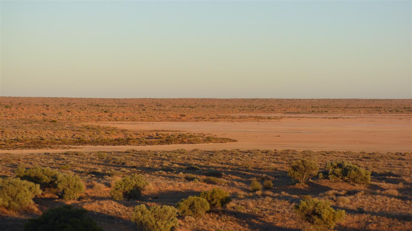
Subtle colours.
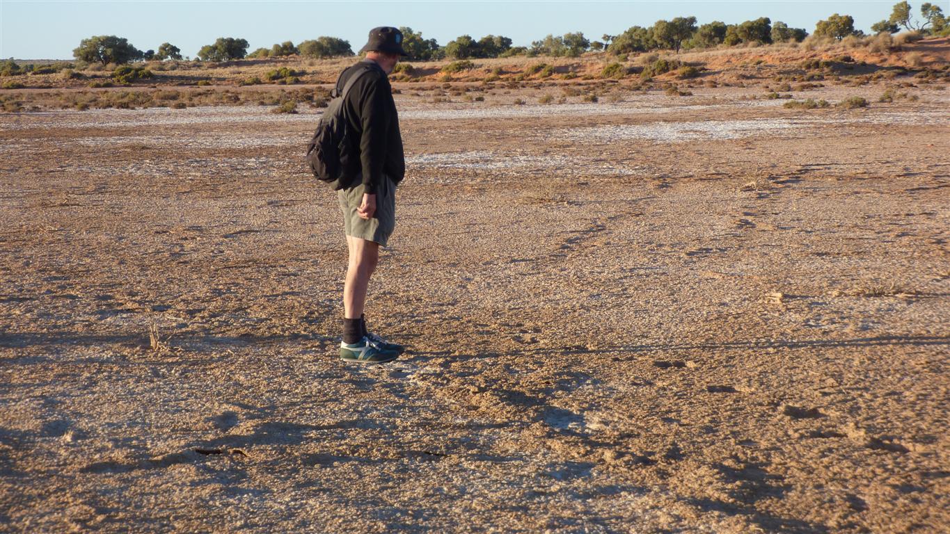
No water.
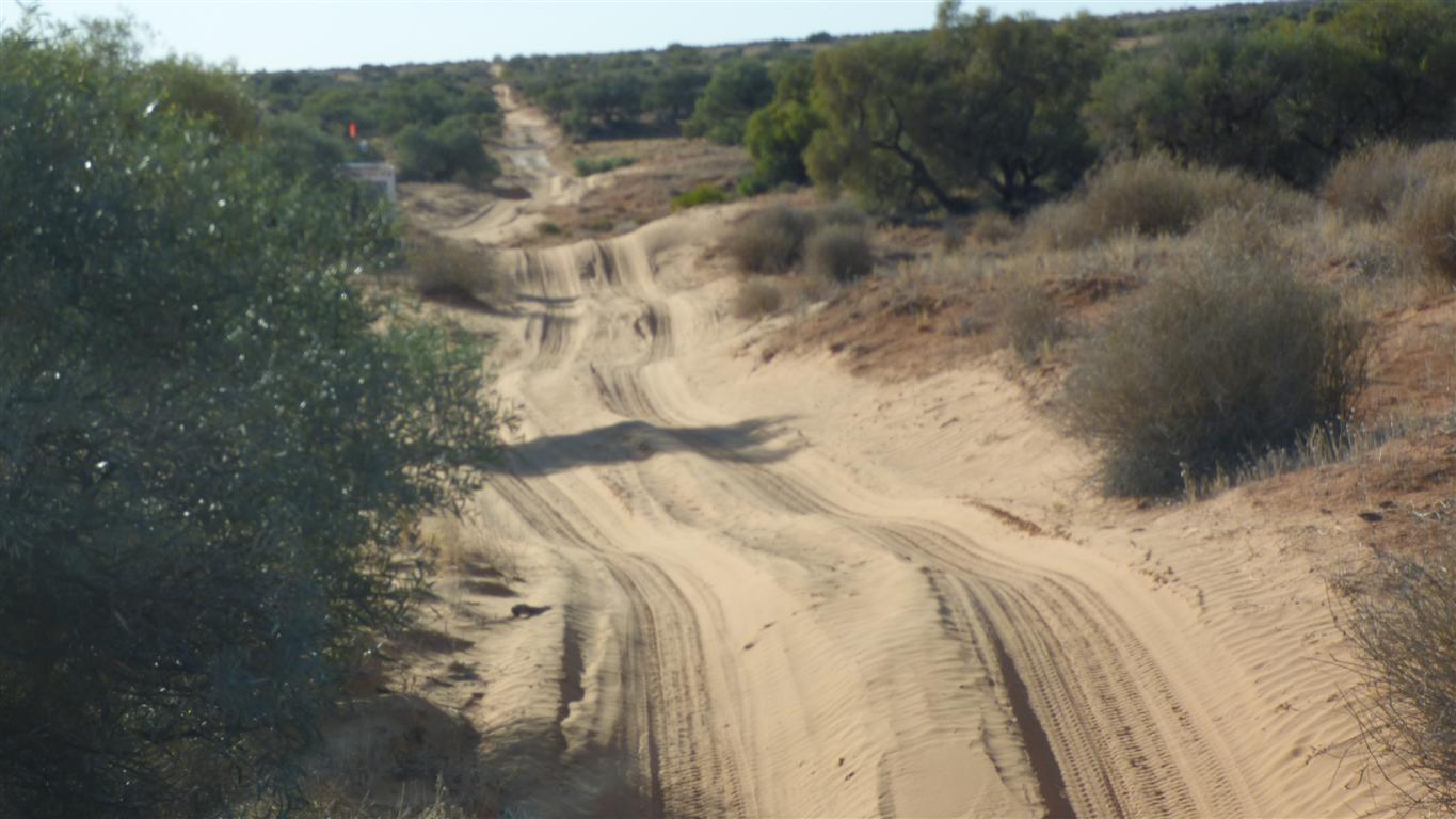
We thought these were tyre tracks.
On closer examination ..... more camel tracks.
We walked around the area for an hour or so.
In search of whatever there was to be searched for.
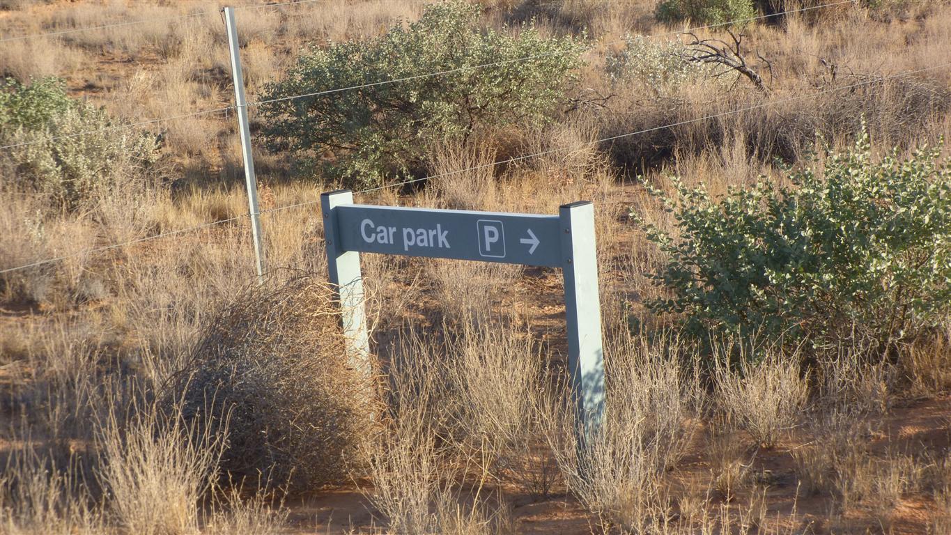
The car park sign seemed so incongruous.
Perhaps just sandy rather than remote.
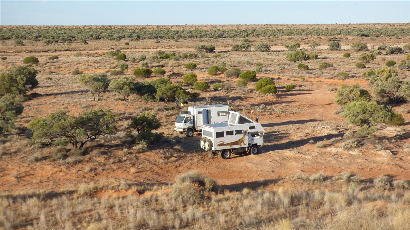
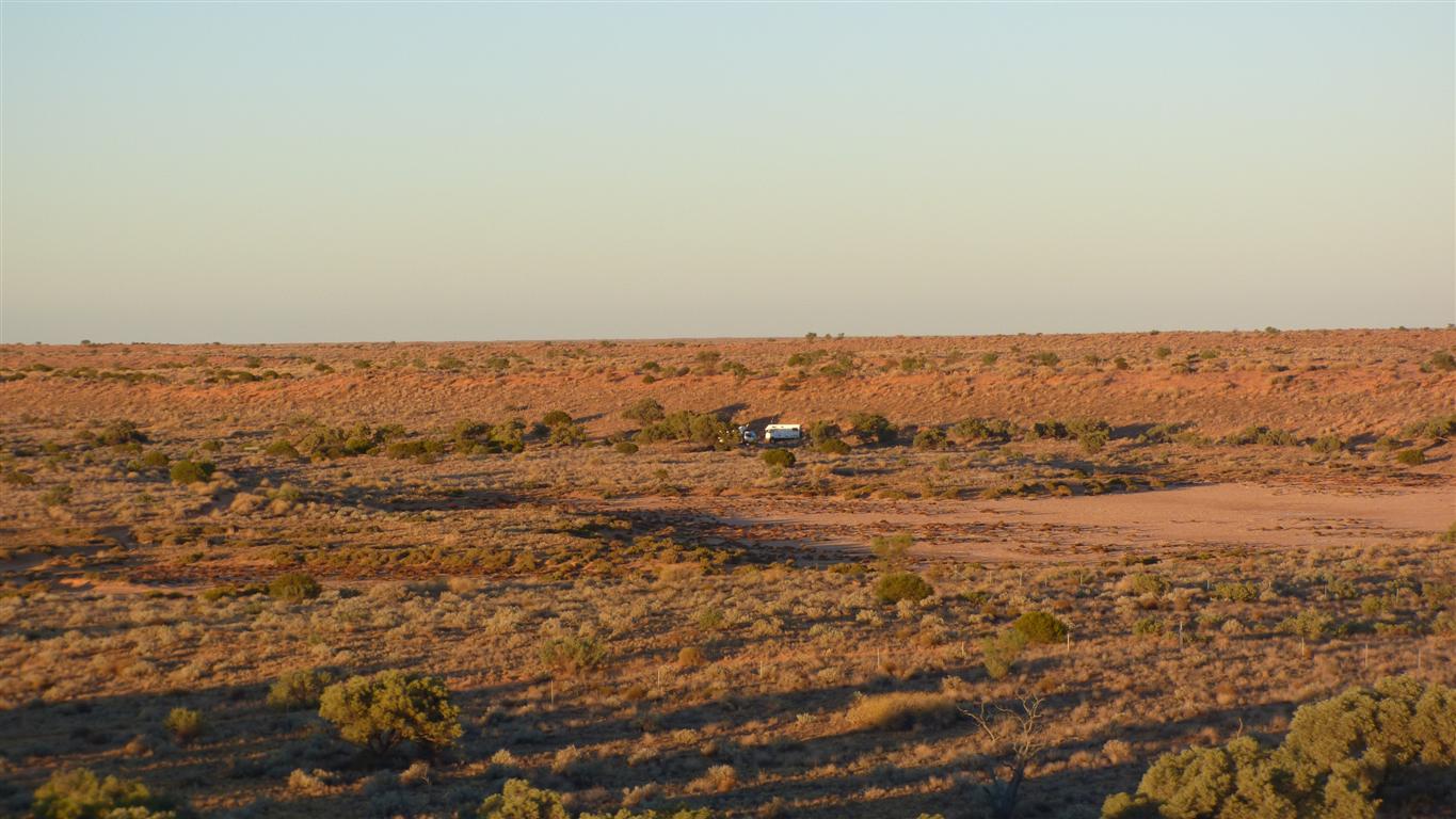
One vehicle, two people, camped.
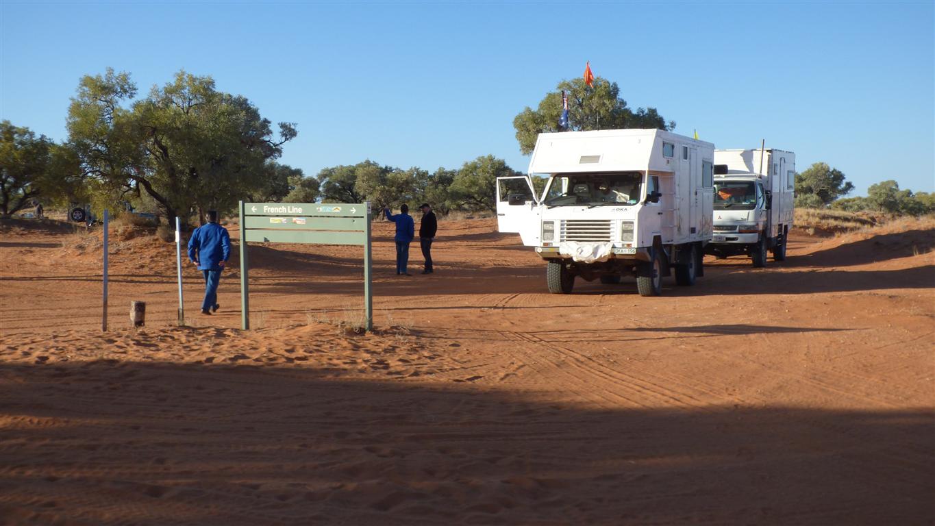
We'd seen them from afar at the Knoll car park last night.
We have joined the French Line.
The Knoll Track from the Knolls is noticeably more worn than the southern part.
Vehicles are driven about 6km south from the French Line then return to the French Line.
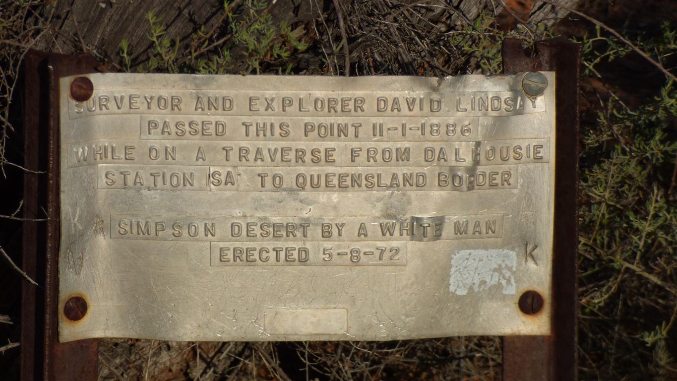
He traversed the desert with Aboriginal help to locate 9 wells.
The wells were re-discovered by Bartell in 1980 after reconstructing Lindsay's journal.
We know a bit about them. But not sufficient to find them.
Perhaps, one day.
They are more elaborate than simple vertical holes that "well" conjures up for us.
Descriptions of small angled tunnels and deep holes.
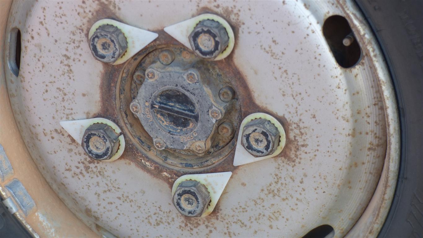
Just broken and caught on some roadside vegetation.
But just in case, a scratch on wheel nut and wheel. To check later.
And "later" it seems ok.
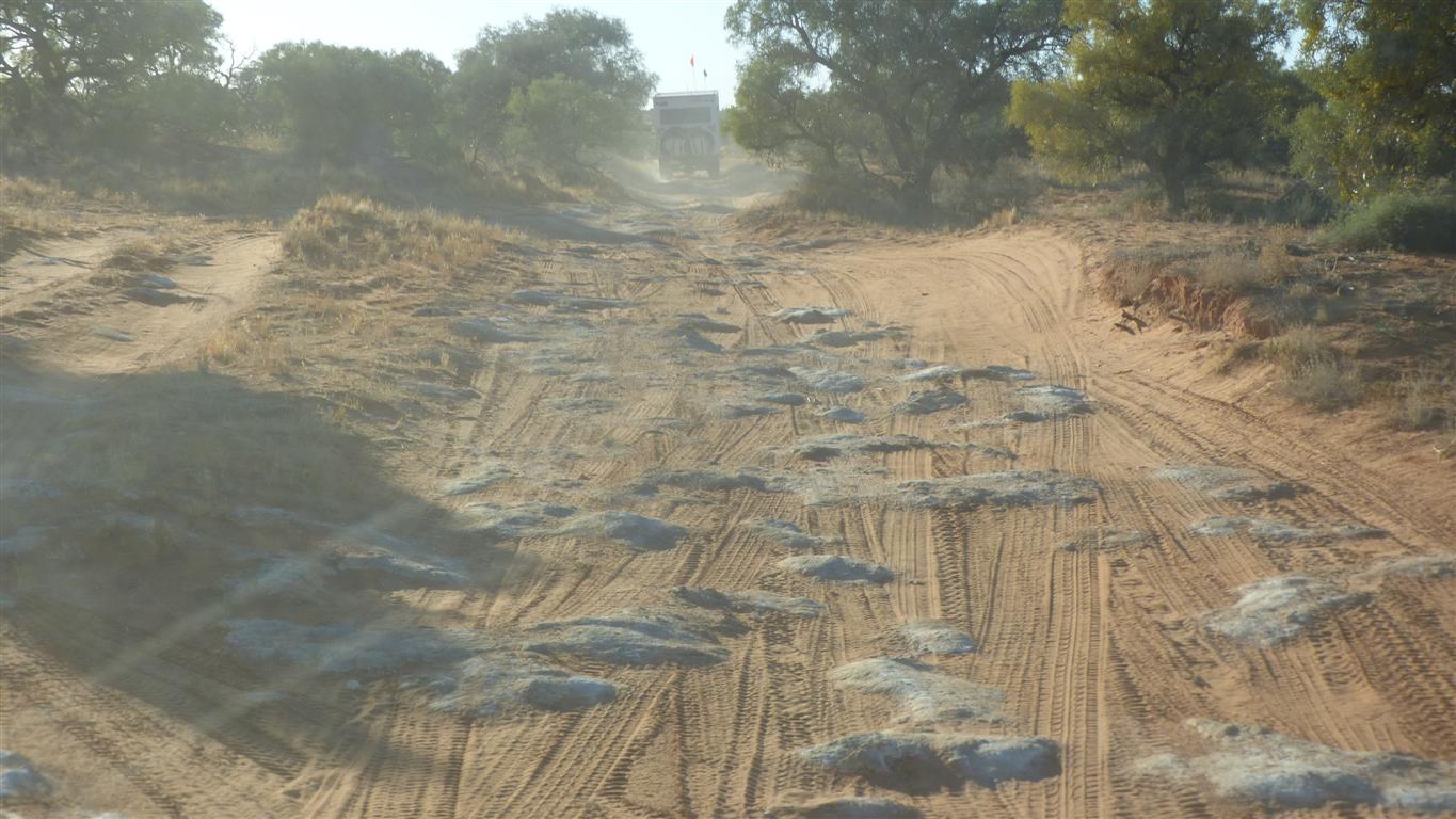
Our truck doesn't like them. Though its reasonably happy with all the humps in the sand. Peter and Margaret seem to be the other way round.
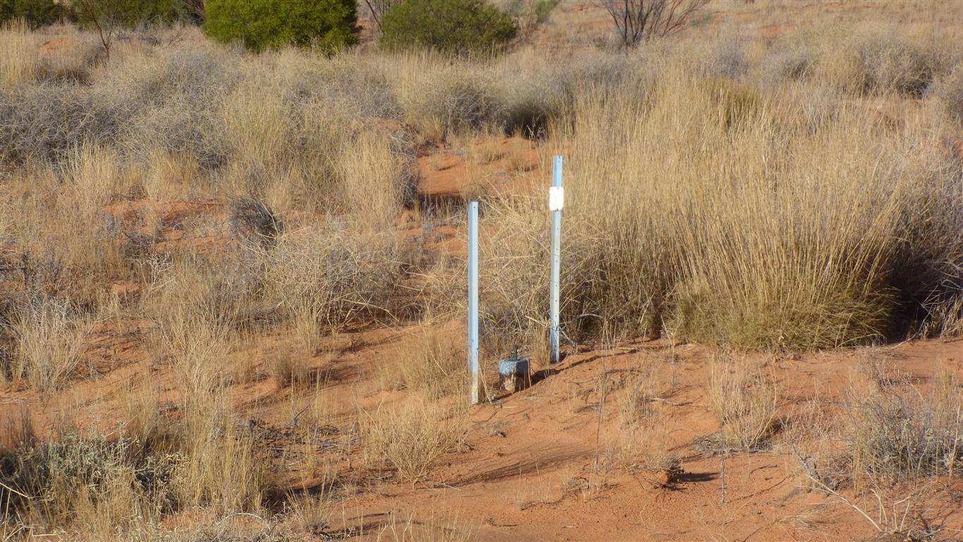
A trig point that's not called a trig point?
About 20km/hr lest the whole vehicle behaves like a pogo stick.
Traction is not a problem for us with fairly low pressure. Most times we are in third gear.