A short stop as soon as we had internet. To find a couple of addresses. And check emails.
Unfortunately the all important permit for the WA part of Uluru to the Pilbara still has not arrived. Though we do now have the permit for Kalumburu.
Being Sunday there's not a lot to be done.
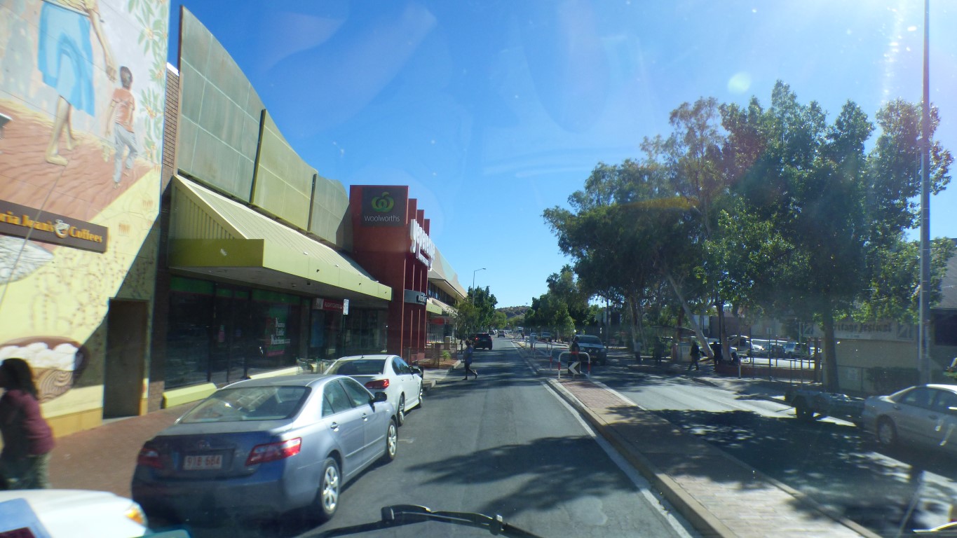
Last time, we parked in a block of vacant land doubling as a car park, just around the corner. This time, being Sunday, we parked a couple of hundred metres past the shopping centre entrance.
For motor homes its about as awkward as a supermarket can be. Buried in the heart of the shopping centre.
And, alas, there are now electronic locks on the trolley wheels. Stopped about 100m short of the truck. We carried the bags.
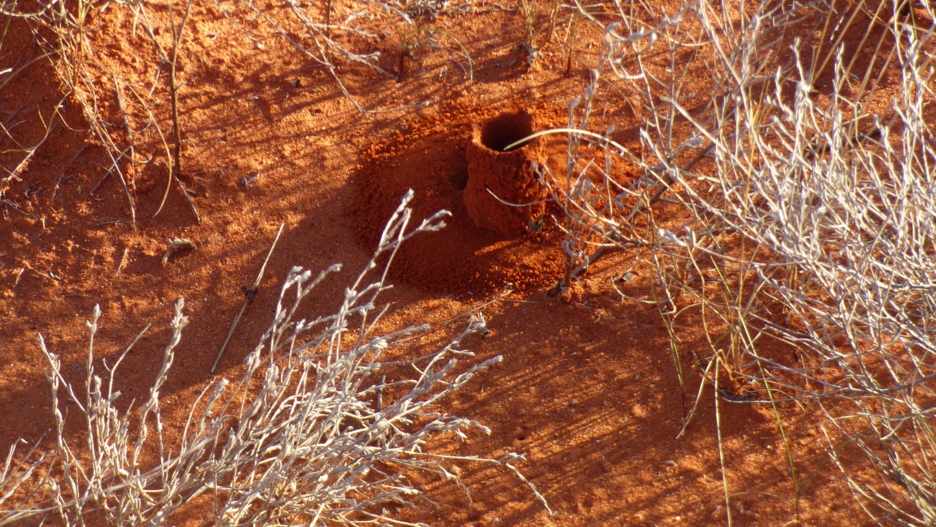
Presumed directions to waterholes and other useful spots.
And a few left to the imagination.
If we were to follow it south of Finke we would find our way to Hamilton and Oodnadatta. All rail heads.
The new route is to the west. We'll have to cross it in the next couple of days.
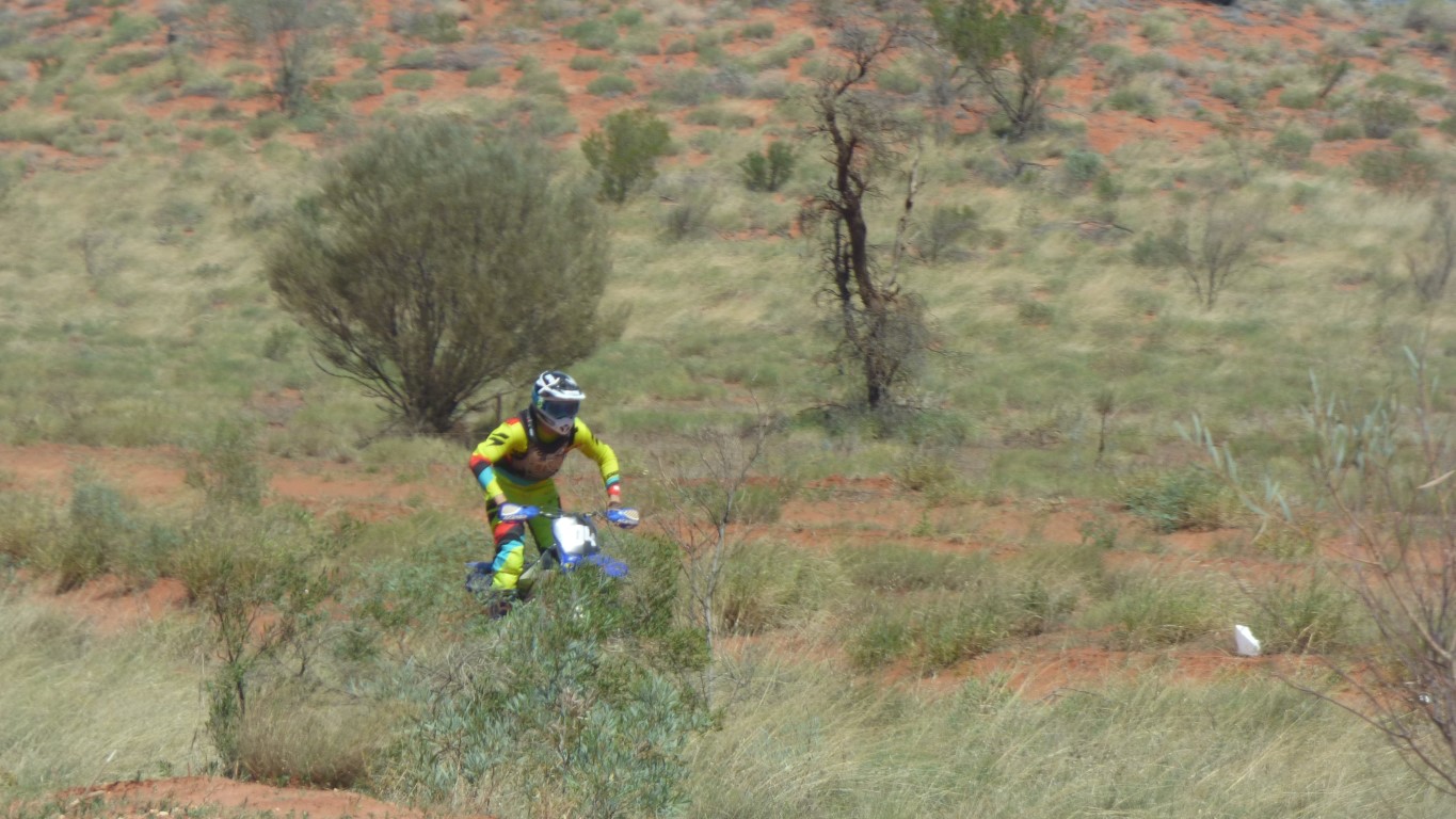
In the meantime we are entertained by "Sunday afternoon trail bike riders". Following the route of the Finke Desert Race that is parallel to our road.
We are reminded of soldiers. All standing upright in a line.
missed the turnoff to Chambers Pillar just before Titjikala. Neither register on the gps. But do on our other maps.
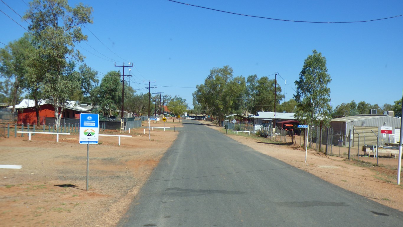
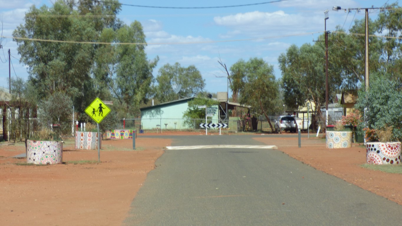
Nobody about on a Sunday. A former winner of Northern Territory tidy town.
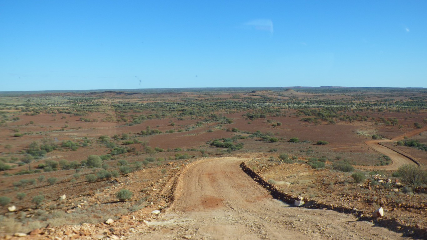
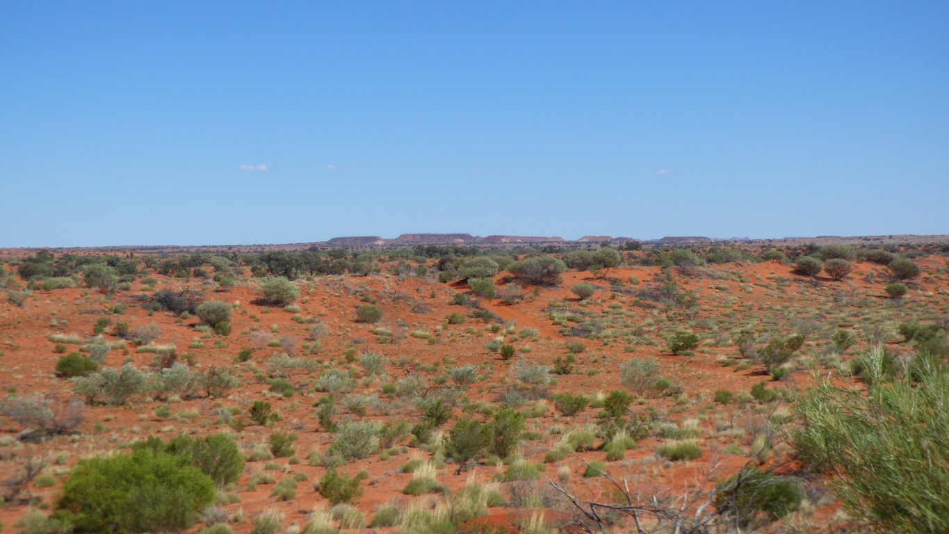
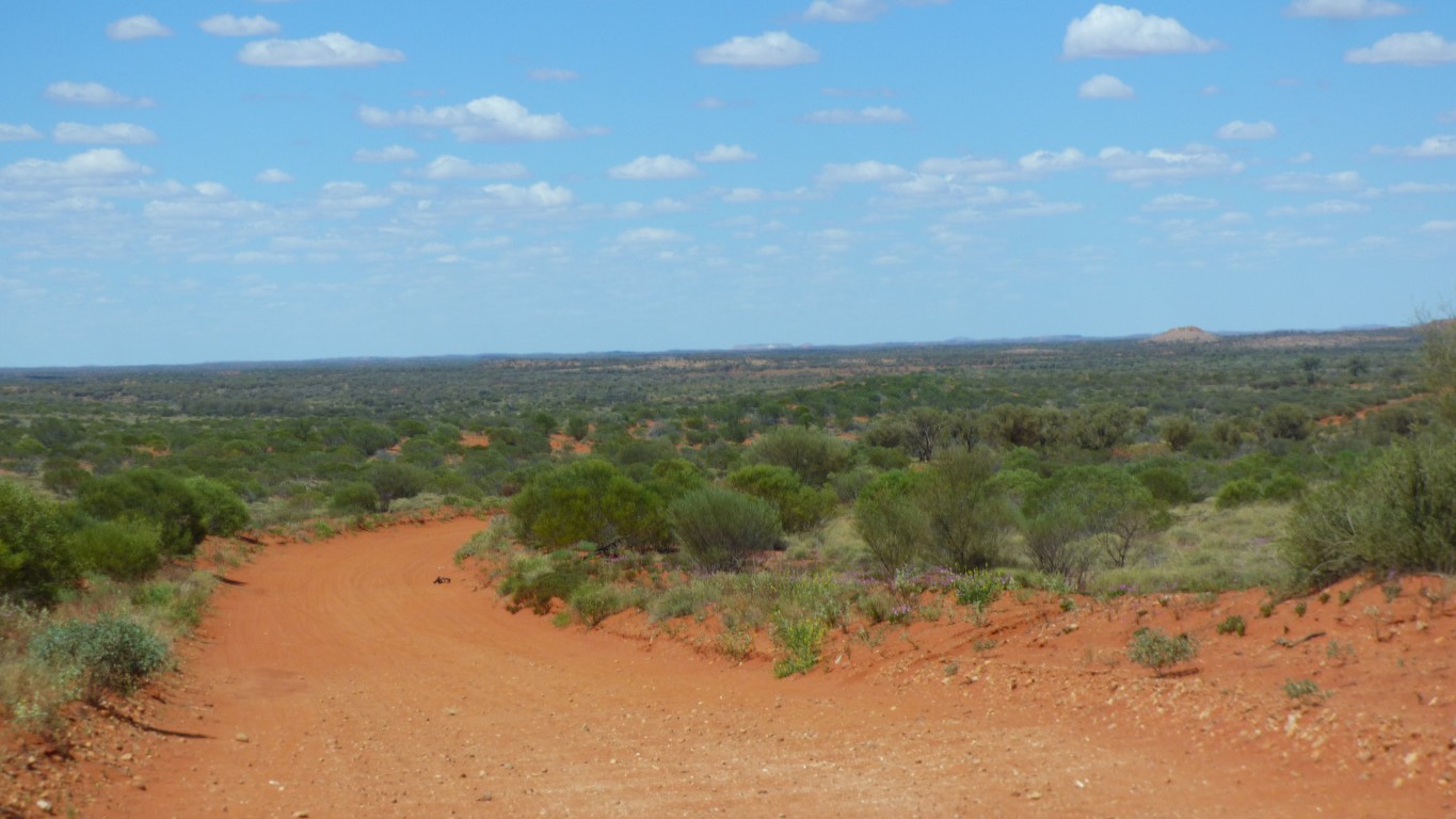
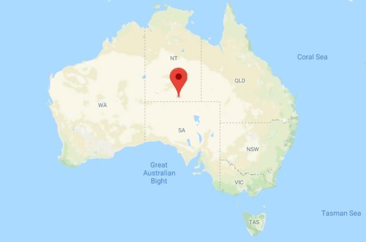
We have turned south into the Simpson Desert.
A few easy dunes to cross. Hopefully nothing coming the other way to meet us at the tops.
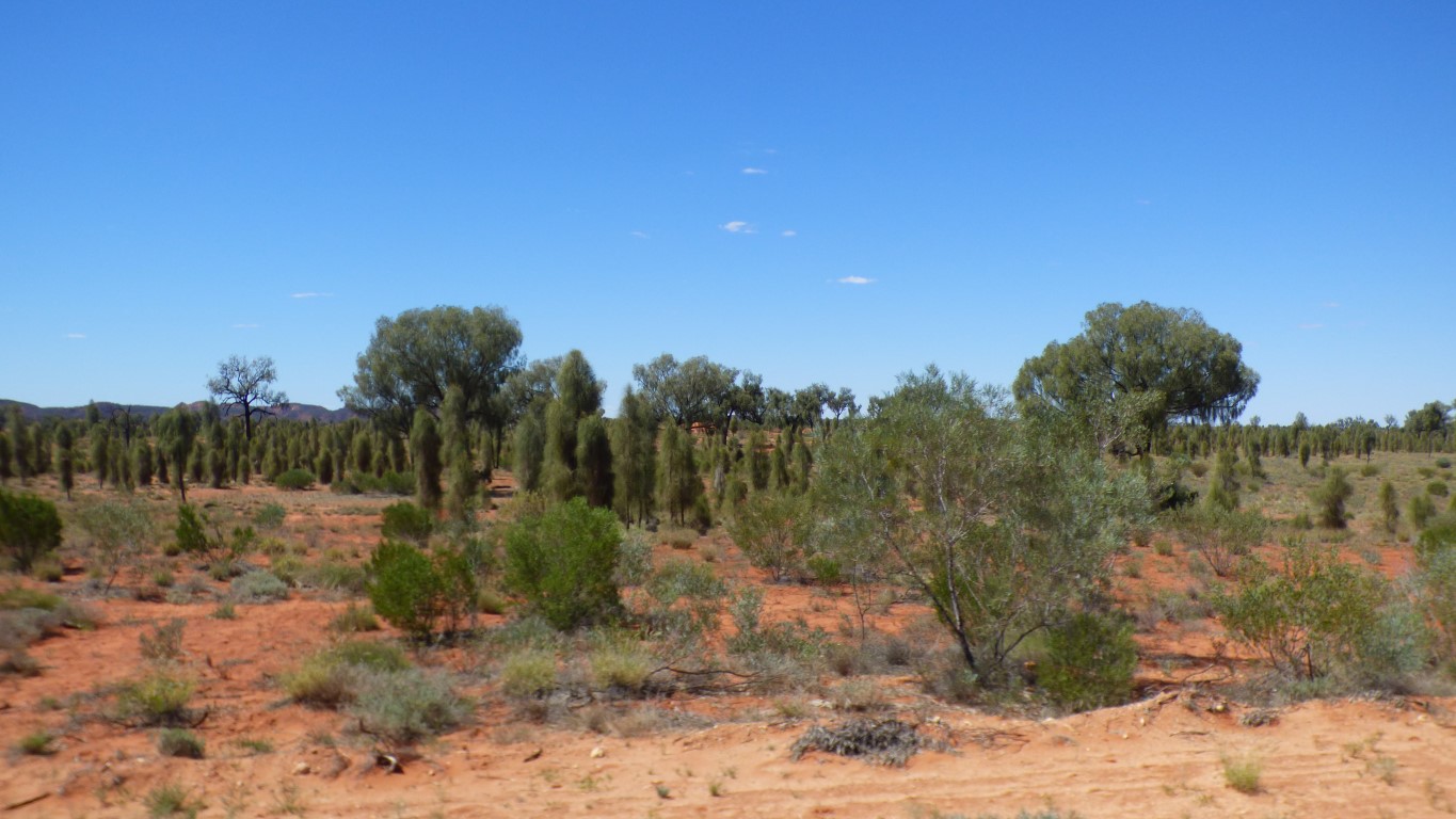
Differences in vegetation between dunes and swales seems not quite so marked as deeper in the desert.
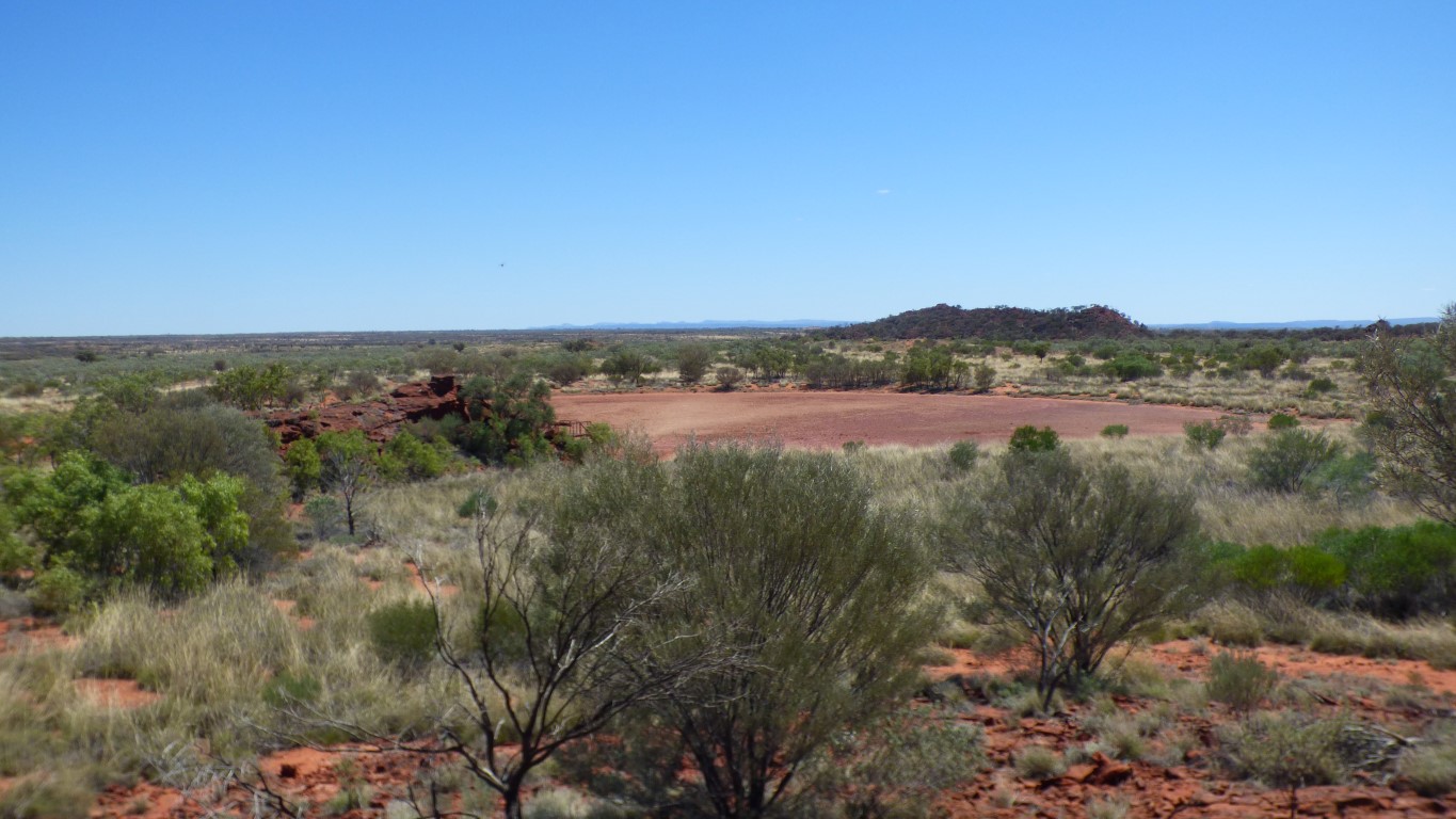
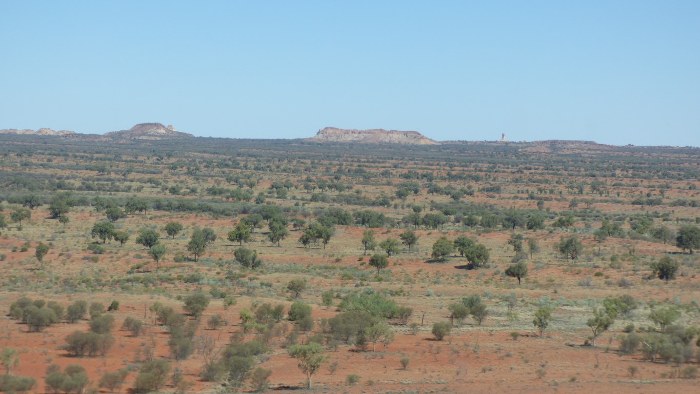
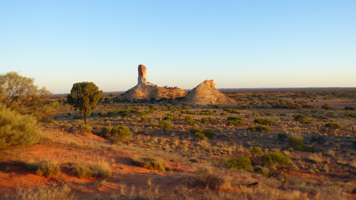
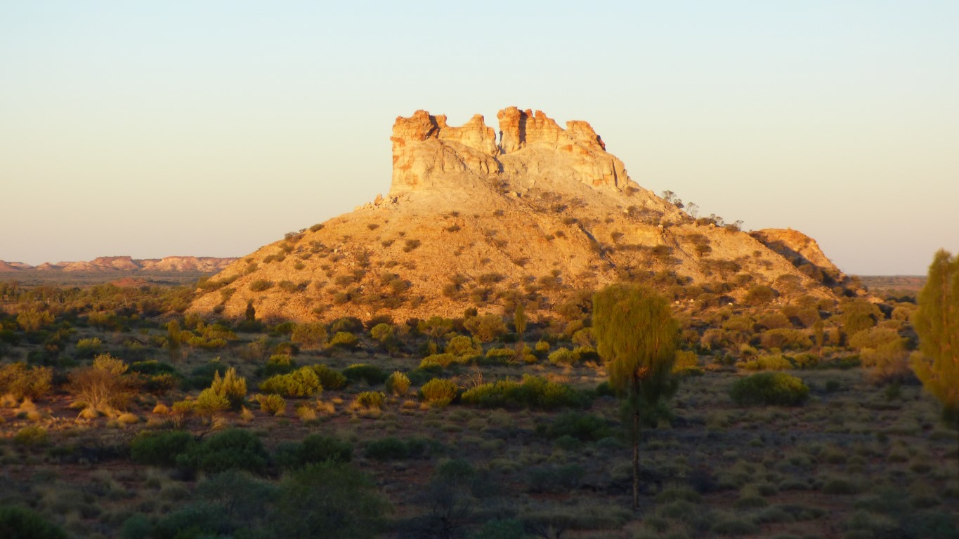
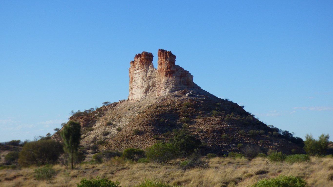
In the distance is our target. Like a lighthouse. Chambers Pillar.
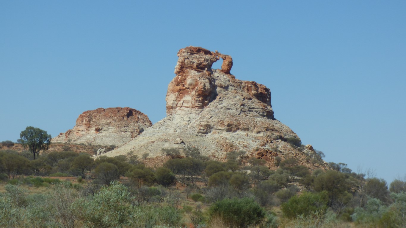
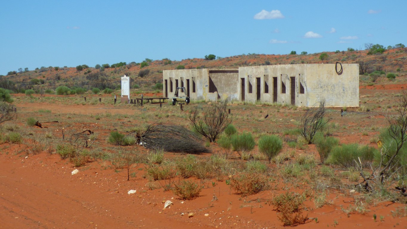
We've reached Chambers Pillar reserve.
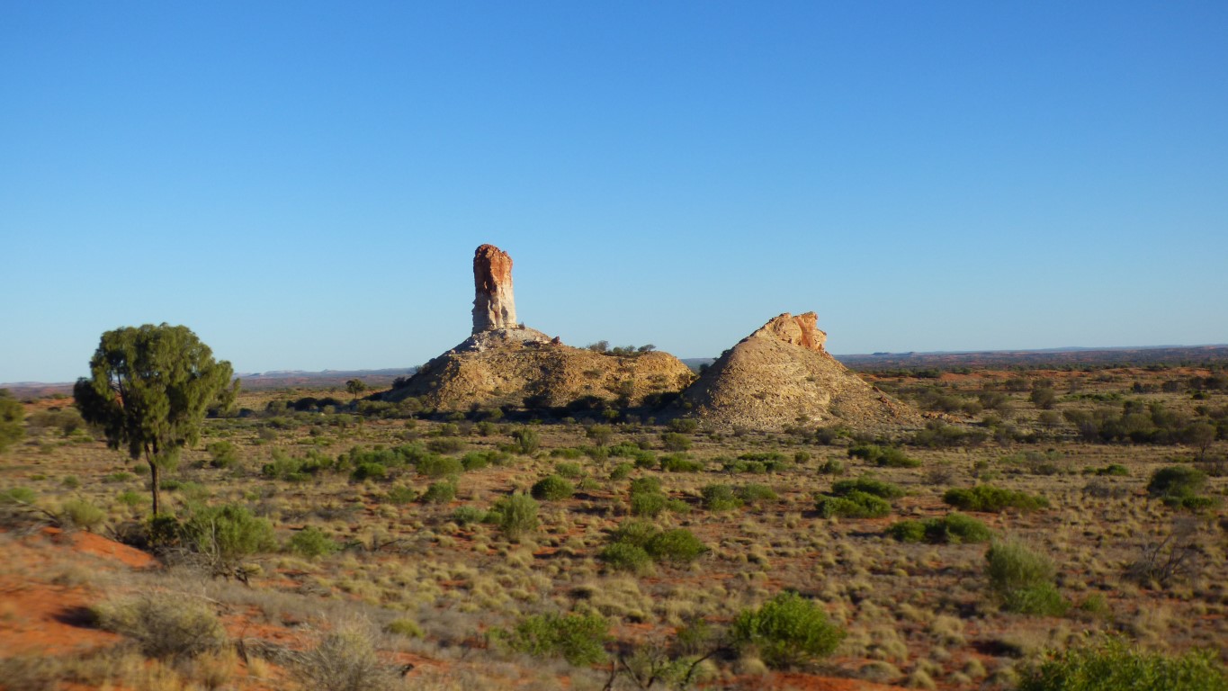
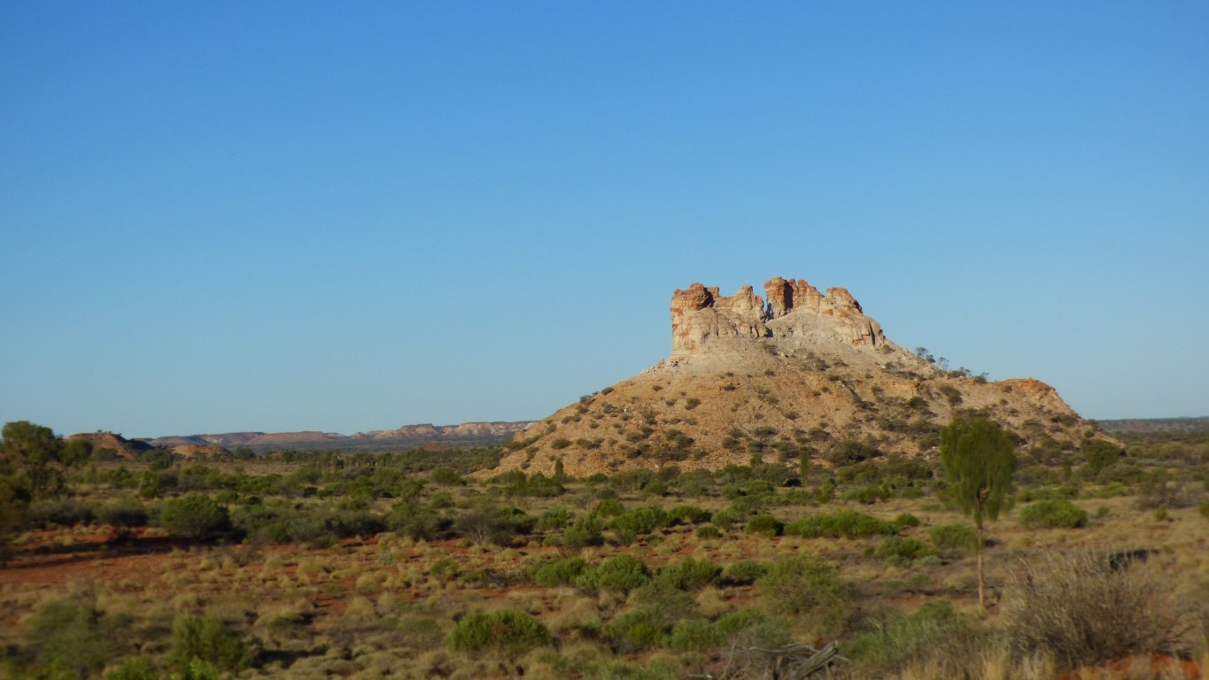
The pillar.
Before the railway a signpost in the desert.
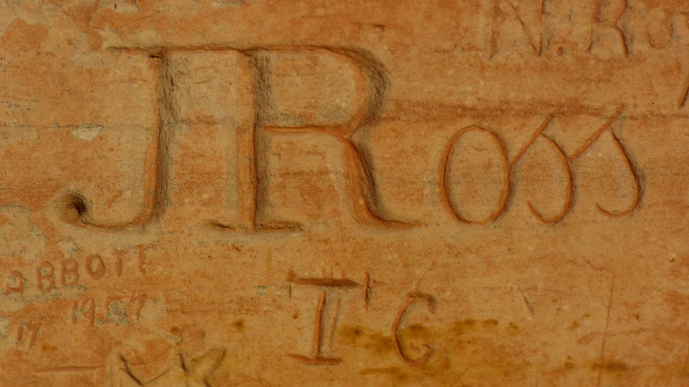
Its 158 years and two days since the pillar was named by John McDouall (?) Stuart. He named it after his friend and financial supporter, James Chambers.
Intrigued as to why someone would name the most phallic looking object in the desert after a friend.
The top of the pillar is iron rich, so a different colour to the lower parts which have had all the iron leached out as water was drawn to the surface in dry times.
We can't decide if the rock to the right of the pillar once stood proud and has fallen over, or if it has eroded differently. One can imagine the band of reddish rock that is now vertical was once horizontal, as the rock stood upright.
Not quite a mystery on the scale of Easter Island, as no people are involved. But keeps us occupied.
The surrounding land used to be a similar level to the top of the pillar. Its been eroded. We struggle to imagine the pace of geological time. Perhaps its the idea that one grain of sand at a time can move a mountain.
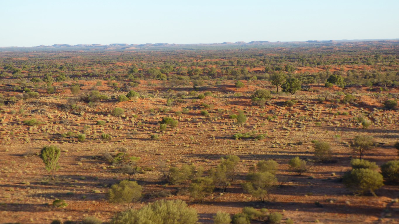
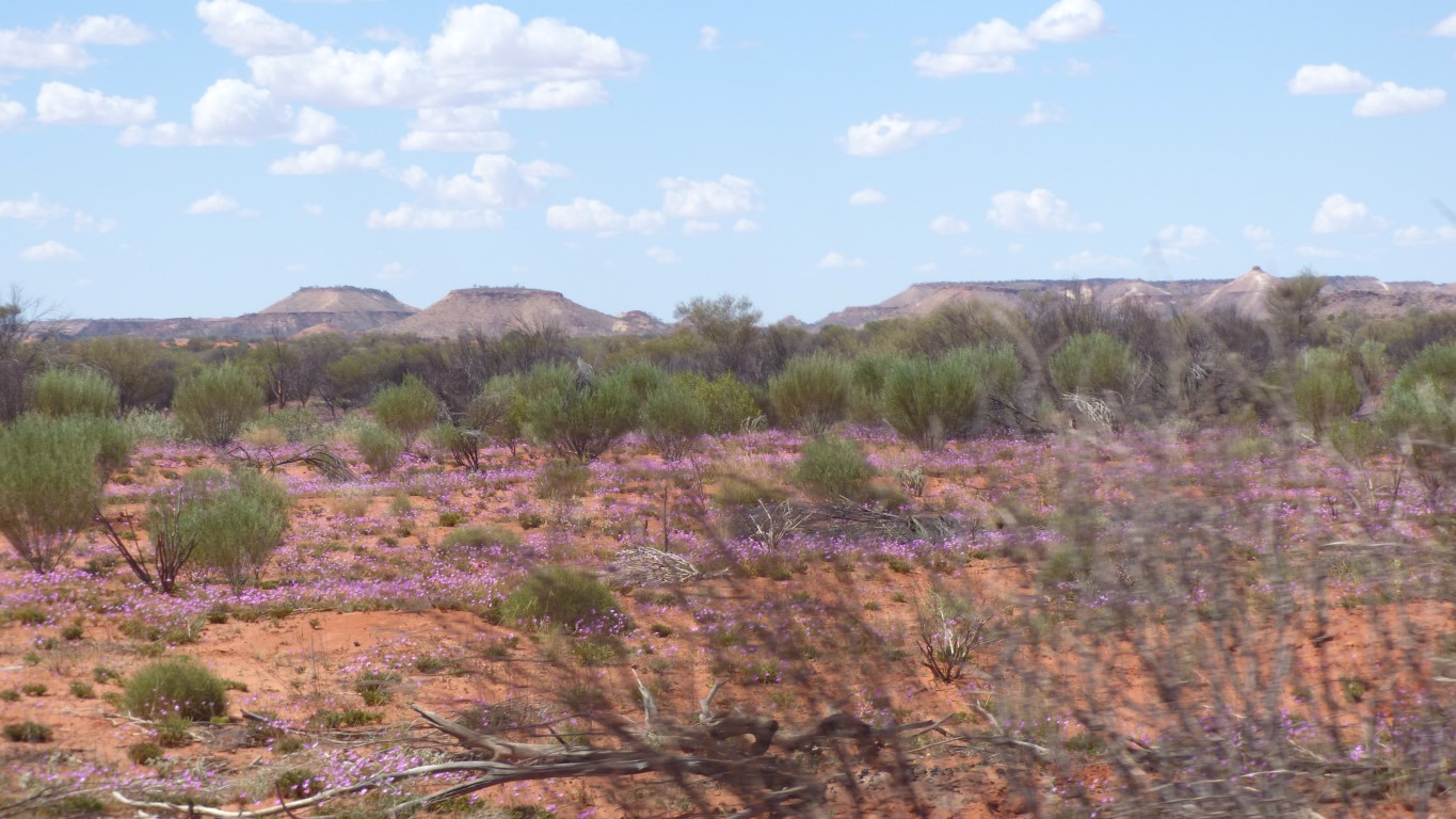
The view southwards.
There is none usable here. The telegraph was built 30km west.
There is graffiti of similar age, and also modern scratchings.
But none to match the care which went into the carving of Ross' name.
From the photo its difficult to know if its embossed, or raised. But we know its embossed.
Its also a nice indication of how slow erosion is here, and thus how long the pillar has been a pillar.
And as always the colours magically changed.
The sand in this part of the Simpson is much redder than we have previously encountered.
But as expected. We already know the sand moves SE to NW and the iron in it oxidises along the way. The sand becomes progressively more red.
I'll take a sample to add to what we collected from the centre and south east of the desert last year.
In our first bus and truck trips, around 2010 in the truck (and this blog), we viewed Chambers Pillar as being "a bit remote" for us.
It seems our views have evolved. Now, in 2018, it didn't enter our heads that we couldn't visit.
At the same time as becoming more comfortable with remote area travel we have also aged. Which means we can't travel as far each day, aren't as active when we reach our destination as we once were, and are strangely more risk averse.
So far the aversion hasn't limited us, but no doubt there will come a time. Meanwhile we try to maintain a balance. On this trip we have taken more care to at least make sure we can "call home". As well, there are the more obvious health effects of ageing which are beginning to limit us. Apart from what we take pills and ointments for there are also the simple mechanical issues of hips, and knees, and feet, which seem to manifest themselves earlier, and last longer.
Say after me ..... "we aren't old, we are just older". Which I think is how we say to ourselves "we still feel young".
Looking north. We have to backtrack to Titjikala then follow the old Ghan line south to Finke.

We asked the night patrol man in Titjikala.
Directed to "the easiest route" which was due east until reaching the old Ghan road then turn right. Taking care not to drive into the dump full of "rubbish cars". Well hidden from the town.
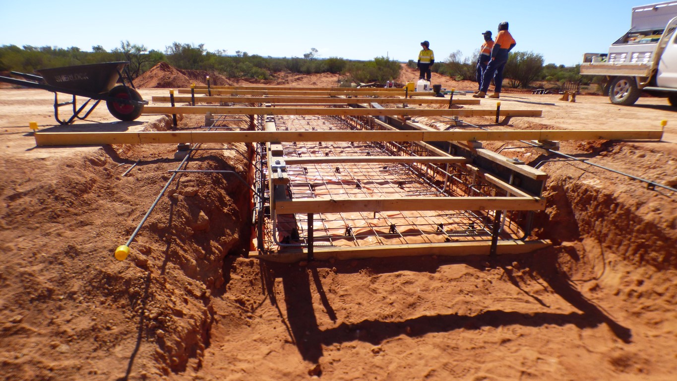
No diversion signs from our path. But then again, why would we expect them. Crew boss most helpful. And eager to describe the work in progress. Plus keen that we didn't spend all day in the truck - "stretch your legs".
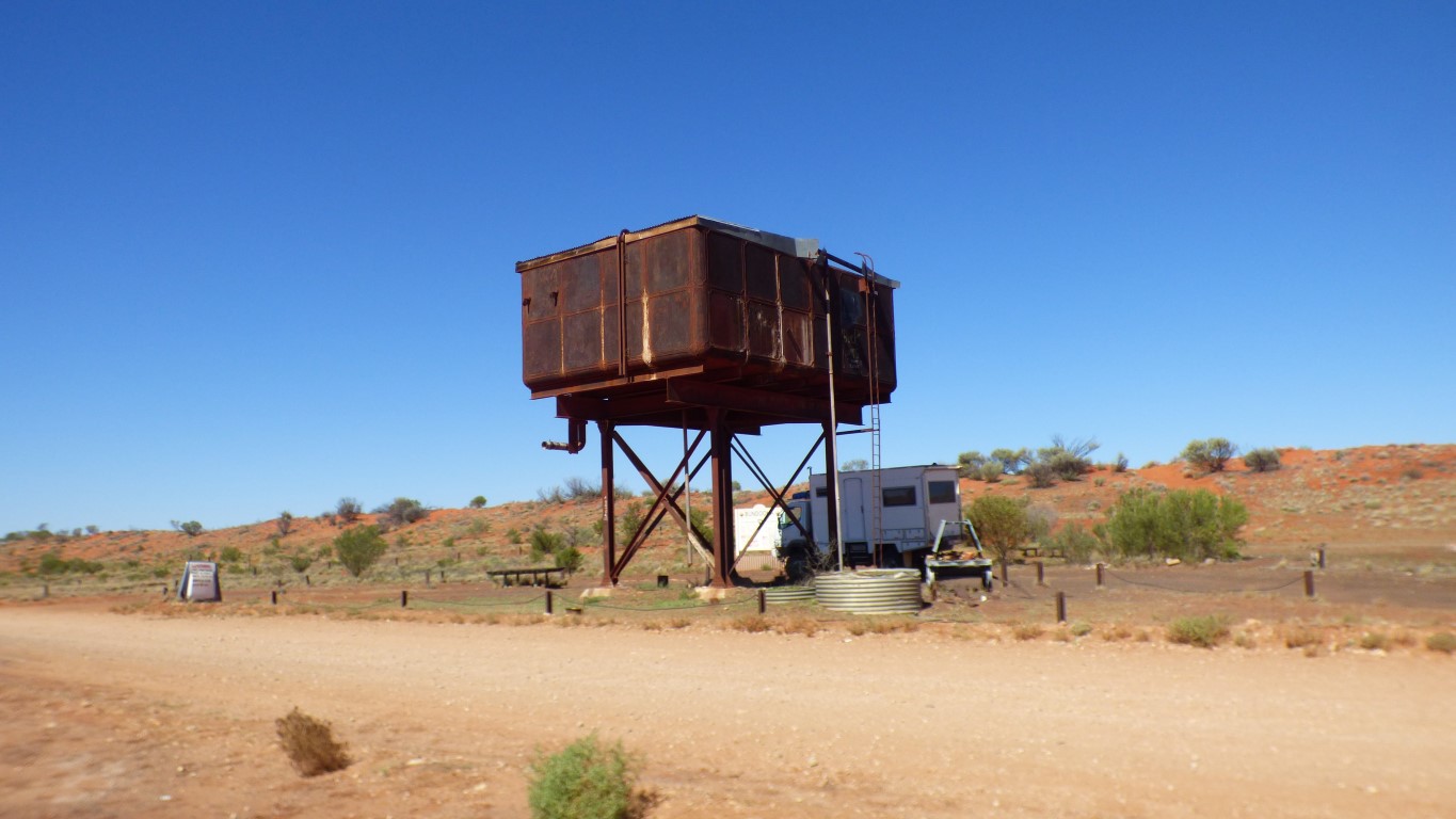
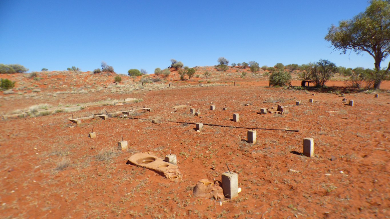
Apart from the tank, a few relics, some foundations and a pipe there is little left.
While the tank does supply good shade it also makes some ominous noises in the breeze.
Fettling seems to have consisted mostly of repacking sand under sleepers with a fettling shovel. No ballast was used in construction of the railway. Which is partly why its been rebuilt to the west.
Alice Well, about a mile away, is where water was piped from to the siding tank.
We are guessing its good water. There is no water softening tower as appears at sidings further south.
Water from Bundooma was also railed to the next couple of sidings.
The "milestones" are every 10 km.
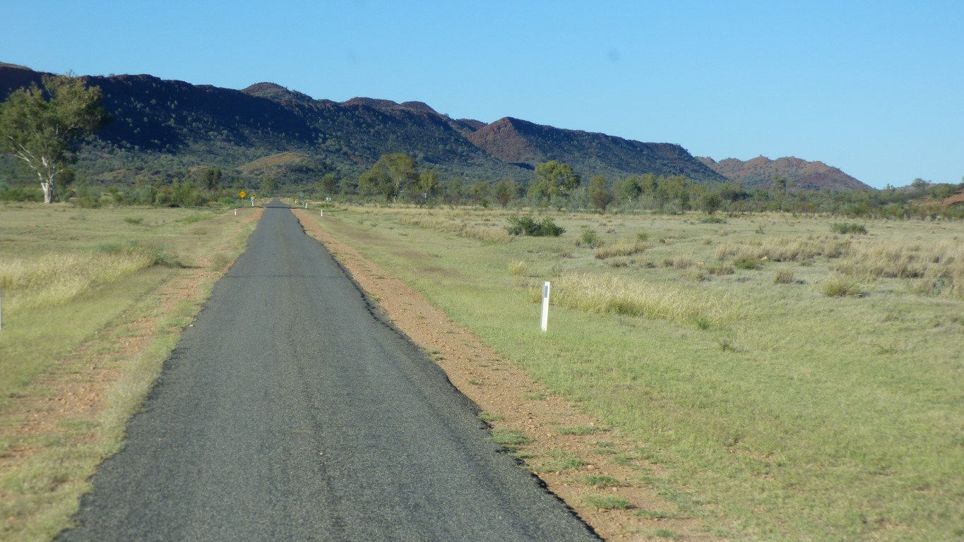
The roads since Alice have been "rough". With added corrugations.
There's probably additional corrugations from all the Finkers.
While truck is ok at 70 km/hr, with lowered tyre pressures, we sort of skate over the top, we've been happier at about 40 - 45 km/hr. Less stress on the vehicle and we have a long way to go.
During WWII the number of trains increased as part of defending the north of Australia. Which meant more passing places. And more fettlers quarters.
These modern monstrosities were apparently a bit like ovens.
We thought it looked like there had been a bit of rain.
But then again. The map shows rail and road as separate.
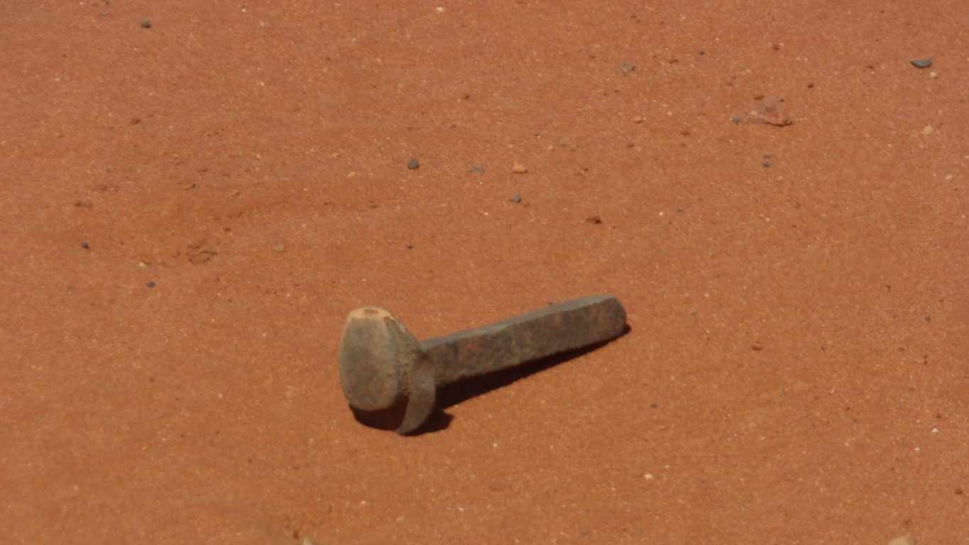
However. I thought after a few km that, even though the road was rough it wasn't so rough, and there wasn't sufficient traffic, to account for all the old bolts in the road.
Rail pegs. The pegs that hold the rails to wooden sleepers.
They added to the concentration required for driving. This was on the surface, most were barely showing, and a few were vertical, with pointed end up.
I decided not to test the tyres on them.
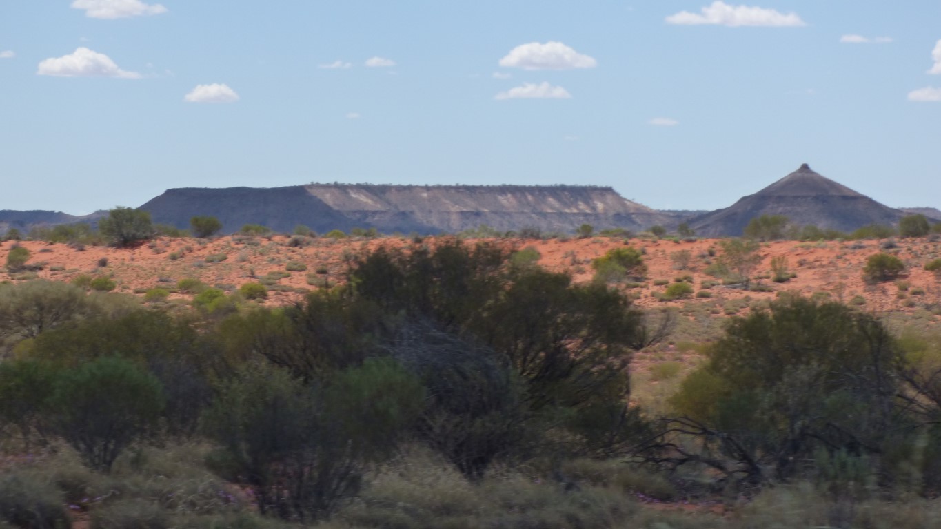
Methinks that pimple will be a pillar in a few more million years.
The Finke River is old. Very old. Formed before the McDonnell Ranges.
It flows (very occasionally) past Palm Valley (we visited in 2010) and past Finke to bury itself in the Simpson Desert between Andado and Mt Dare.
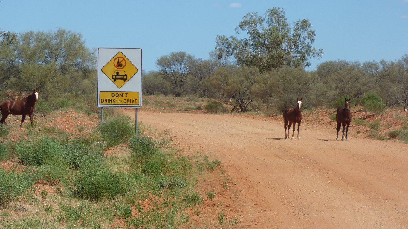
The horses raced us to the crossing. Sized us up and down. Then took off again.
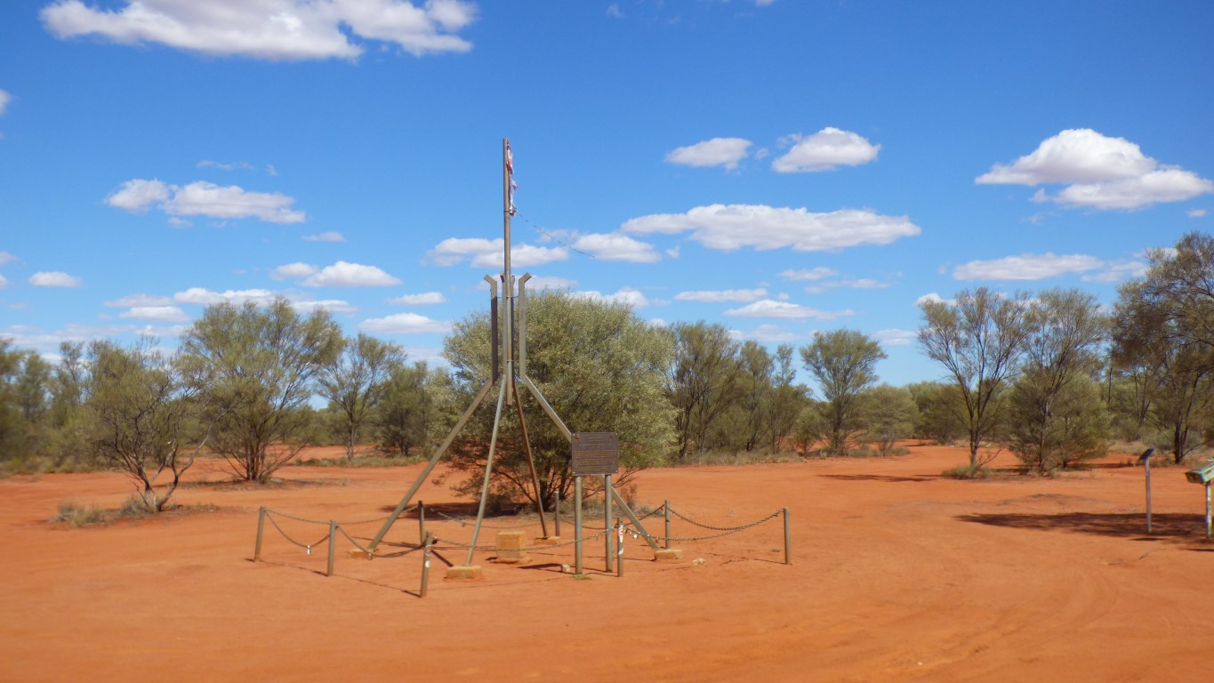
While the road after Finke is not as rough we decided we were tired and headed about 12 km along a small track to the geographic centre of Australia.
So tonight we can truly say we are the only two people in the middle of Australia. Just us and the flies.
Its referred to as the Lambert Centre of Australia after Dr Lambert who was chair of the National Mapping Council from 1951 to 1977. And a UN expert in geodesy and cartography. Not to be confused with the 19th century Lambert who developed map projections.
Satphone call discovered WA permit is in the hands of a second officer in Alice Springs. Second phone call discovered 12 days is inclusive not exclusive of last date. Knock a day off please. Permit will be emailed by 11th. We should have internet in Yulara (Uluru).
Its not the permit, its what one hopes for as a "make it up as we go along" schedule that becomes captive to someone else's bureaucratic processes and calendar. Instead of "nice to have" mobile reception becomes "have to have". Since the rules weren't clear (or even present) on the website the process for us becomes trial and error - the worst imaginable.
Similar to centre of gravity, the point was calculated from 24,500 high water mark points on the Australian coast. Google maps coordinates are a bit out!
I wonder if Tassie was included.
I believe the Geodesic Centre of Australia is in Namadgi National Park (now abandoned geodesic observatory).