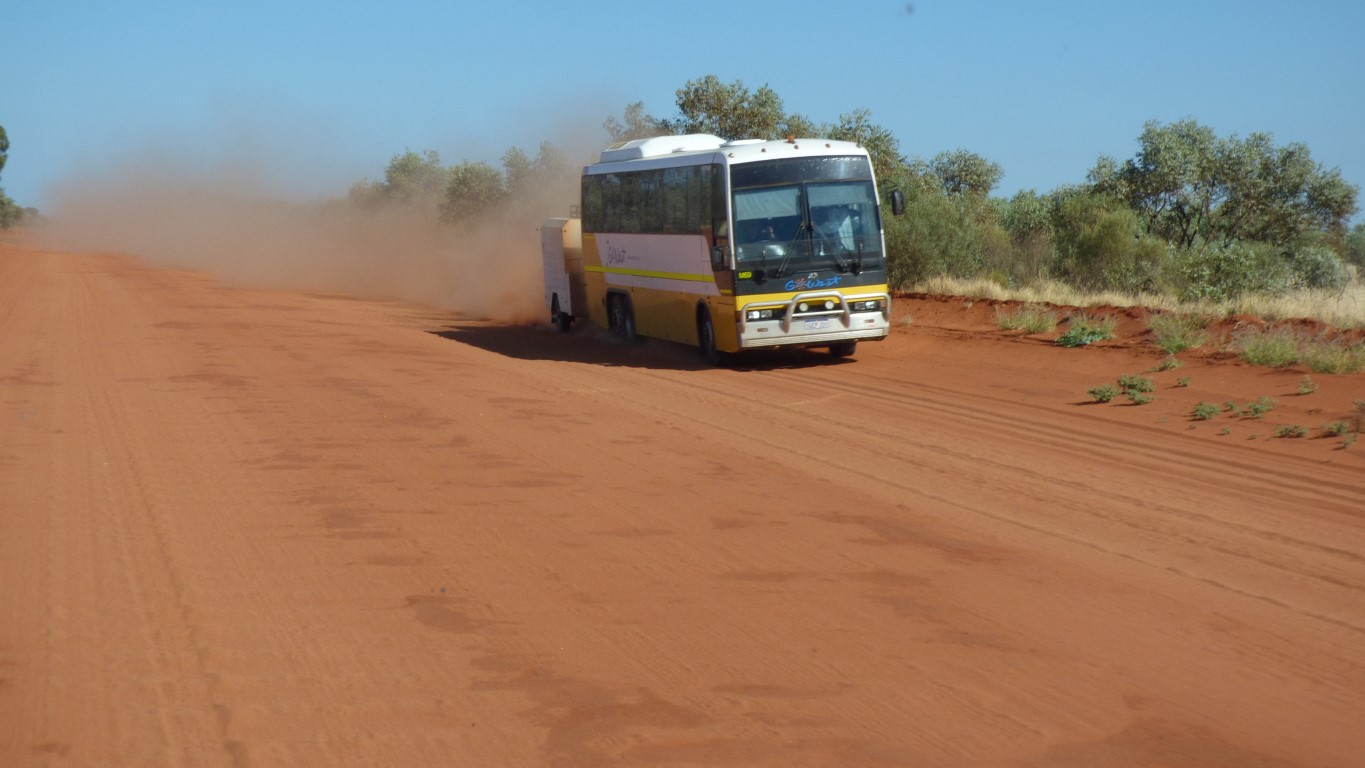
This bus belongs to "Go West".
We tried to wave it down and explain west is the other way.
We failed.
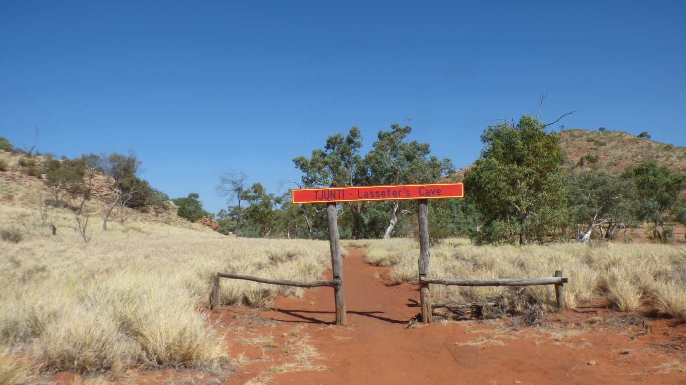
He came to an unfortunate end when his camels bolted. He spent about 25 days in the cave about 100m along this walking track. Then tried to walk 140 km to Mt Olga. He managed 55 km with a bit of help but died.
Whether his reef is real or not is a mystery. Lasseter unfortunately couldn't remember where it was ......
Finke is in its own biogeographic regionalisation.
There are 89 such regions in Australia. The result of "a landscape based approach to classifying the land surface, including attributes of climate, geomorphology, landform, lithology, and characteristic flora and fauna".
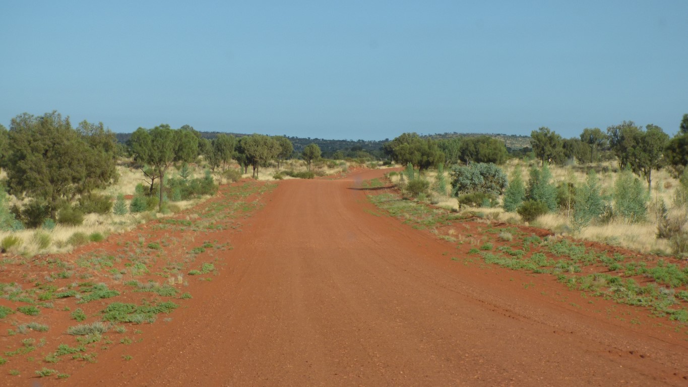
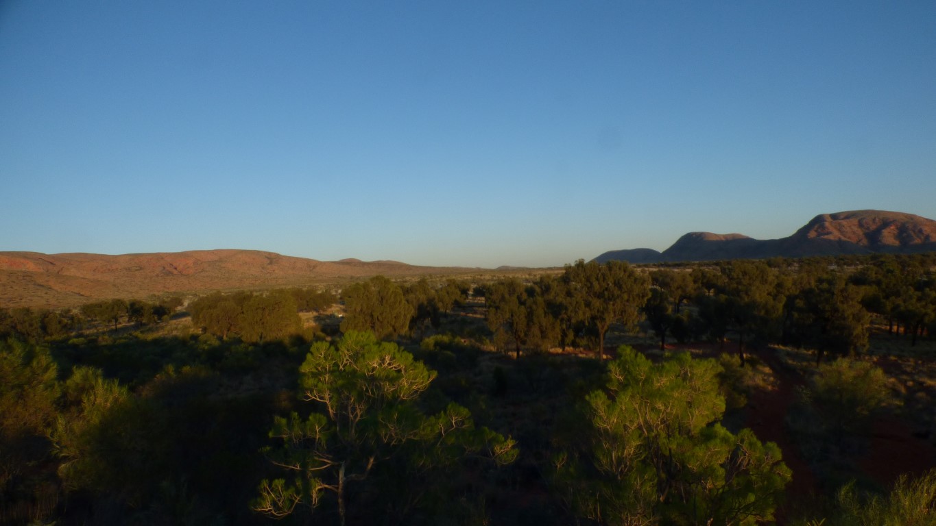
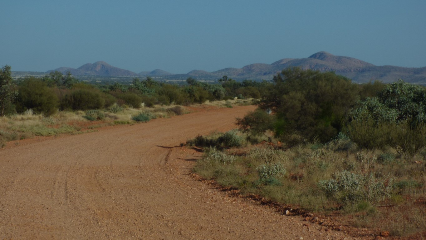
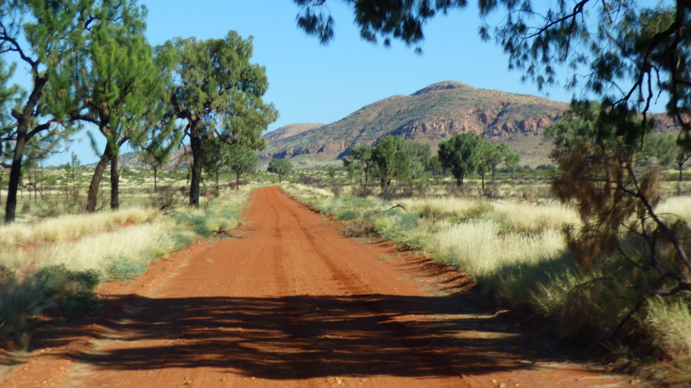
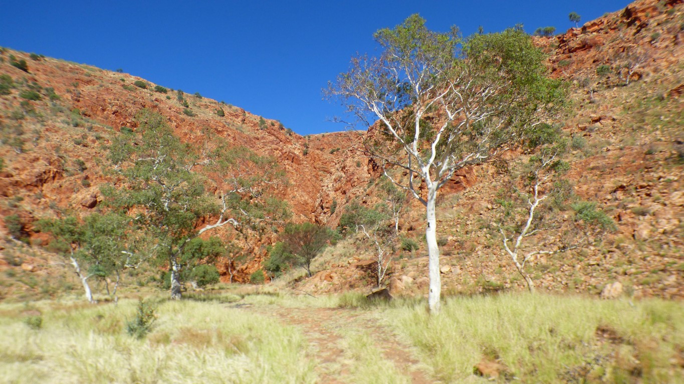
We are now in the Central Ranges. The Gary Junction Road, which we join about 250 km north so we can head west, runs between the Gibson Desert and the Great Sandy Desert regions.
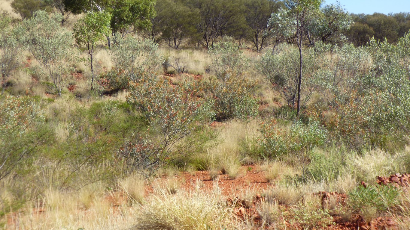
The most obvious changes we notice, they have to be obvious for us to see them, are in the ground cover and trees.
We think we are seeing something similar to the cane grass we saw on top of Simpson Desert dunes. We are seeing both spinifex and cane grass. Basically though, all we really know is "its different".
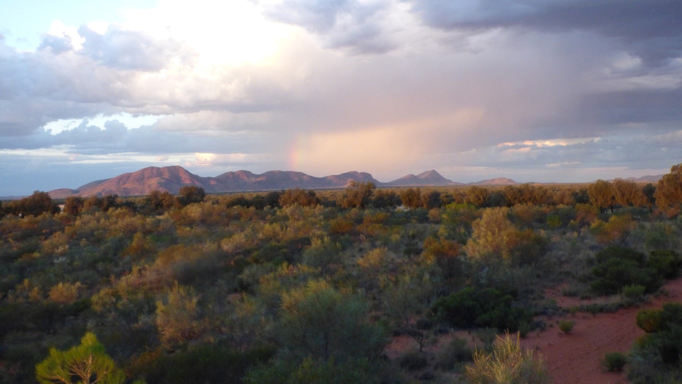
A magic view as the sun set.
There's a rainbow in there somewhere.
Lasseter's Reef is at the end of it.
Is there anyone to tell us which end?
Our vehicle is self contained. We have water, and a loo. We also tend to not light camp fires every night.
Which means as long as a campsite is reasonably tidy, including no used dunny paper festoons, we can be comfortable.
So the campsite taps that haven't worked for the last 10 years, or the flush loos that have no water and are reputedly not nice (we didn't look), and the campfire places full of ash, can be ignored. The solar for the bore is long gone.
What we didn't expect was 4G mobile internet through the tower in the community. Congested in the afternoon and evening but 3G was good and 4G good early morning..
We had a peaceful, pleasant, night.
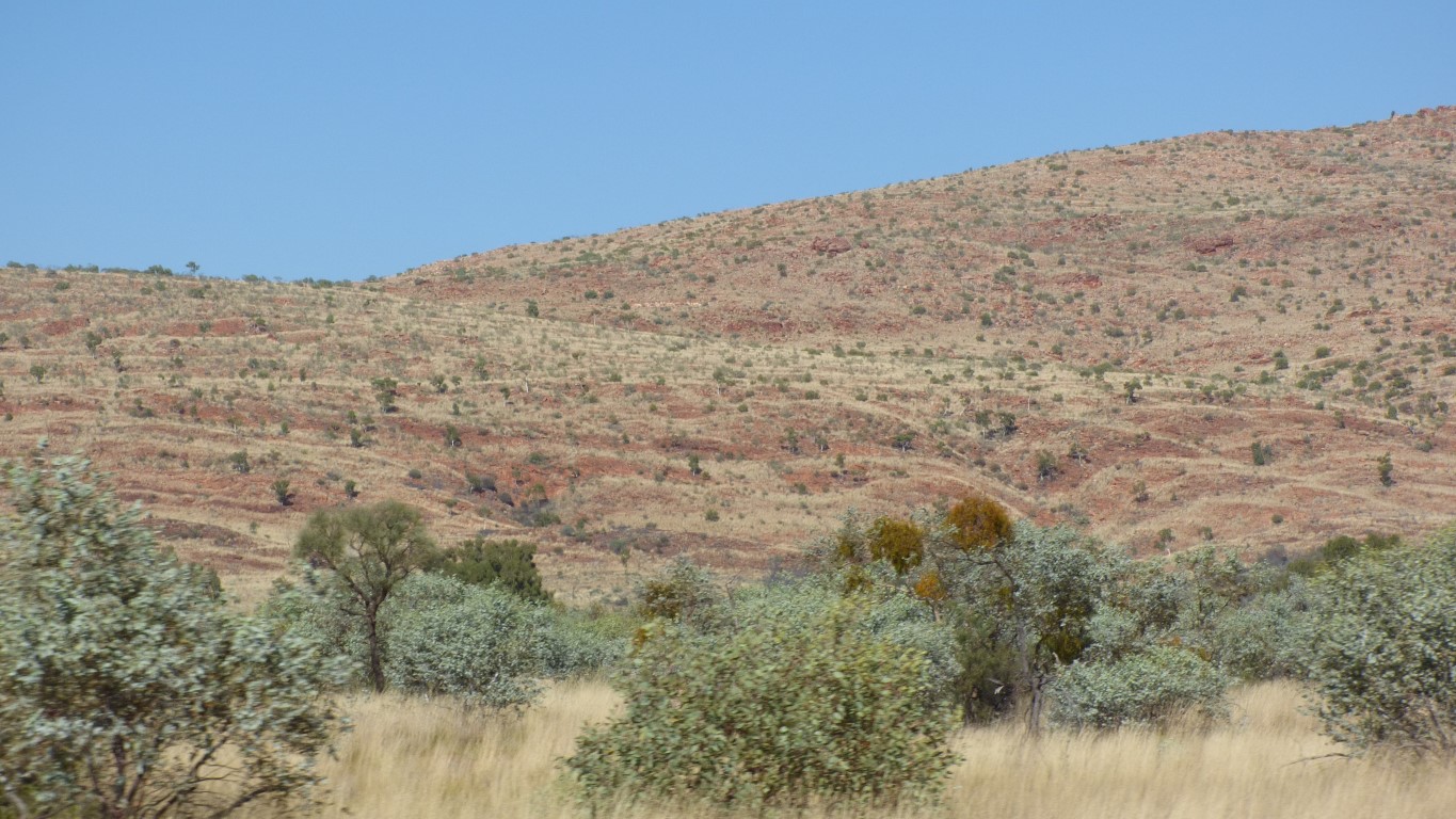
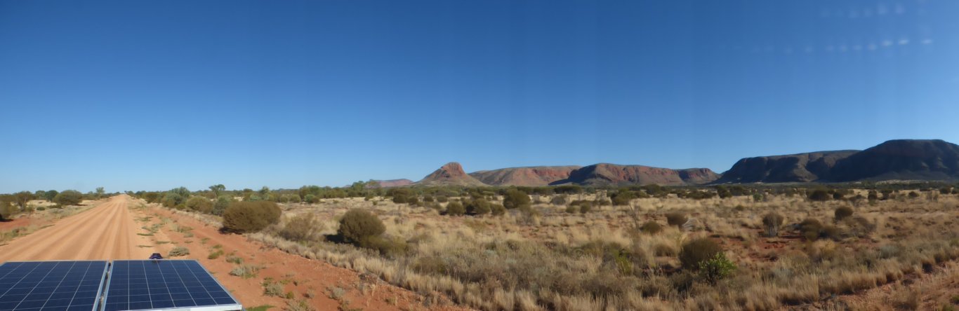
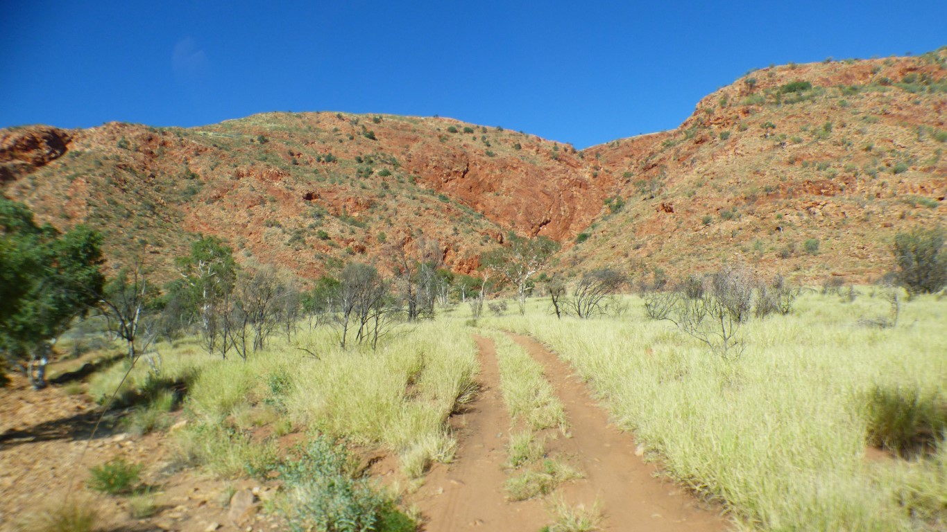
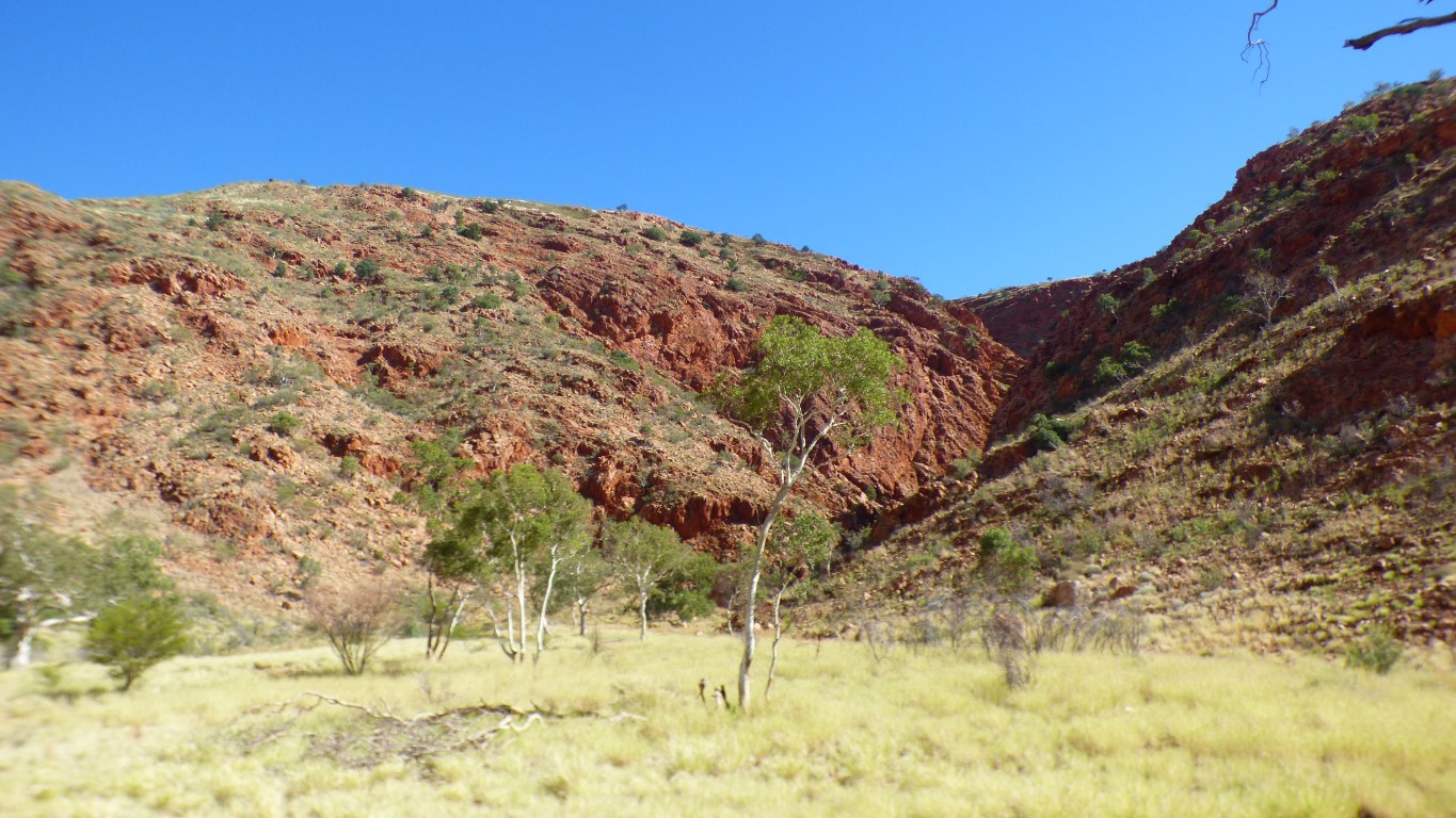
The Petermann Ranges were once as high as the Himalyas. The Himalayas were formed 40-50 million years ago (Mya) at the boundary of the Indian tectonic plate colliding with the Asian plate (inter plate). The Petermann Ranges were formed 600 Mya when the Australian plate collided with the Indian plate. However, the fold of the land didn't occur at the plate boundary, its about 1000km away, where the crust was thinnest and some faults existed (intra plate).
The formation is considered to be due to the Petermann Orogeny (big word for significant geological disturbance).
Being older than the Himalayas they've had time to erode, the high point is now only about 1,100 m above sea level. The surrounding plain about 500 m.
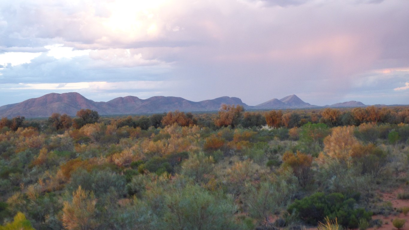
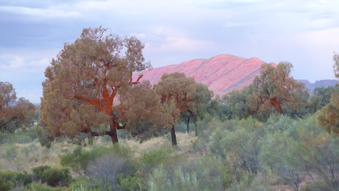
Sunset, as usual, was "better".
The ranges are comparable to the Himalayas as, despite the different mechanism for their folding the geological outcome is remarkably similar.
There aren't many examples of intra plate mountain formation. By chance we travelled west to east through part of the Tien Shan mountains in Kyrgizstan.
How do I know this? I cheated and read a very technical paper titled "The anatomy of a deep intracontinental orogen" published in "Tectonics" in 2010. And attempted to translate the detailed technical geological language into something I could understand. I thought it an impressive paper. The conclusions, as with all technical papers, leave room for appropriate doubt.
Petermann was a 19th century geographer. The ranges were named after him by Giles, the first European to explore this area.
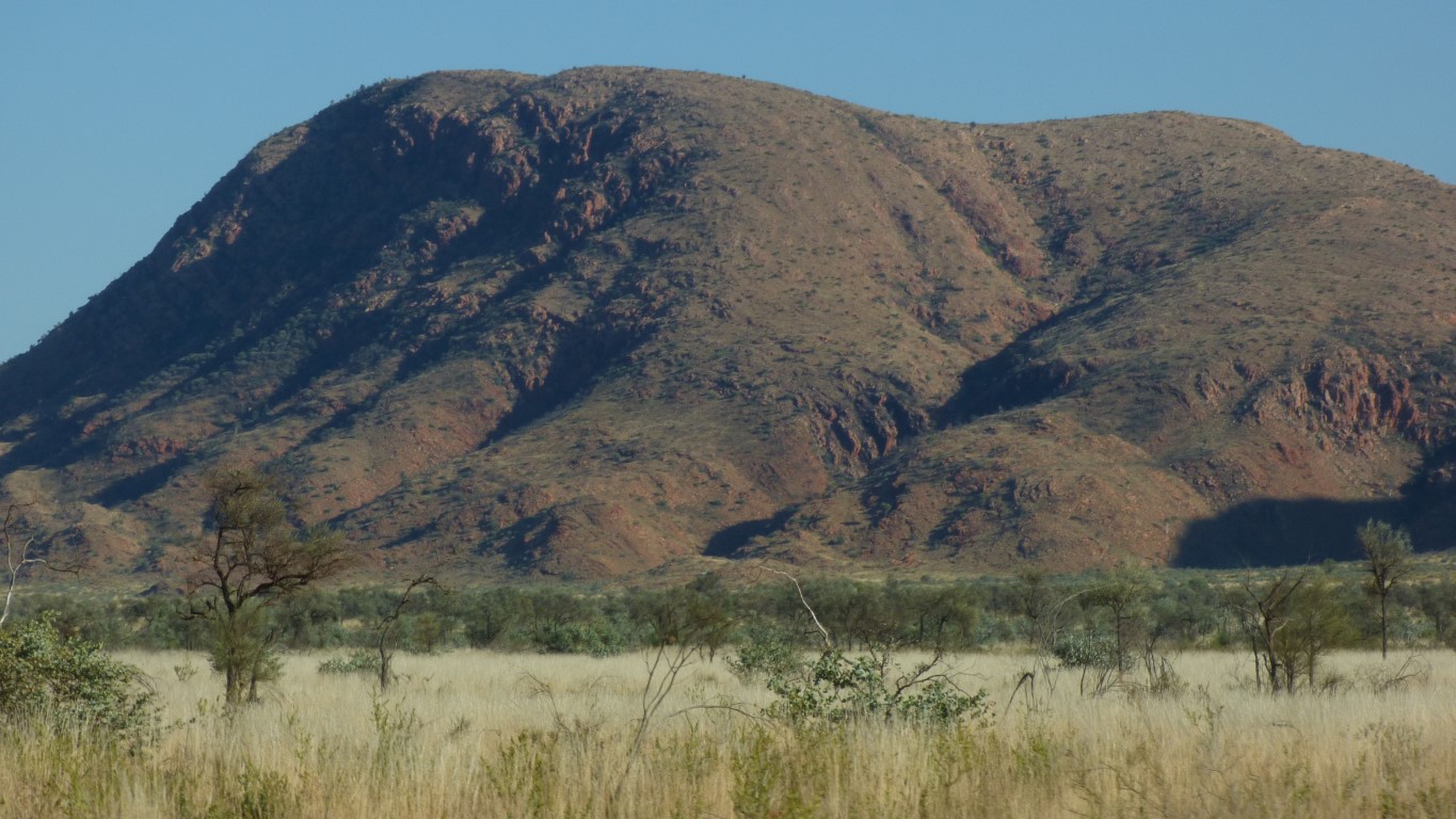
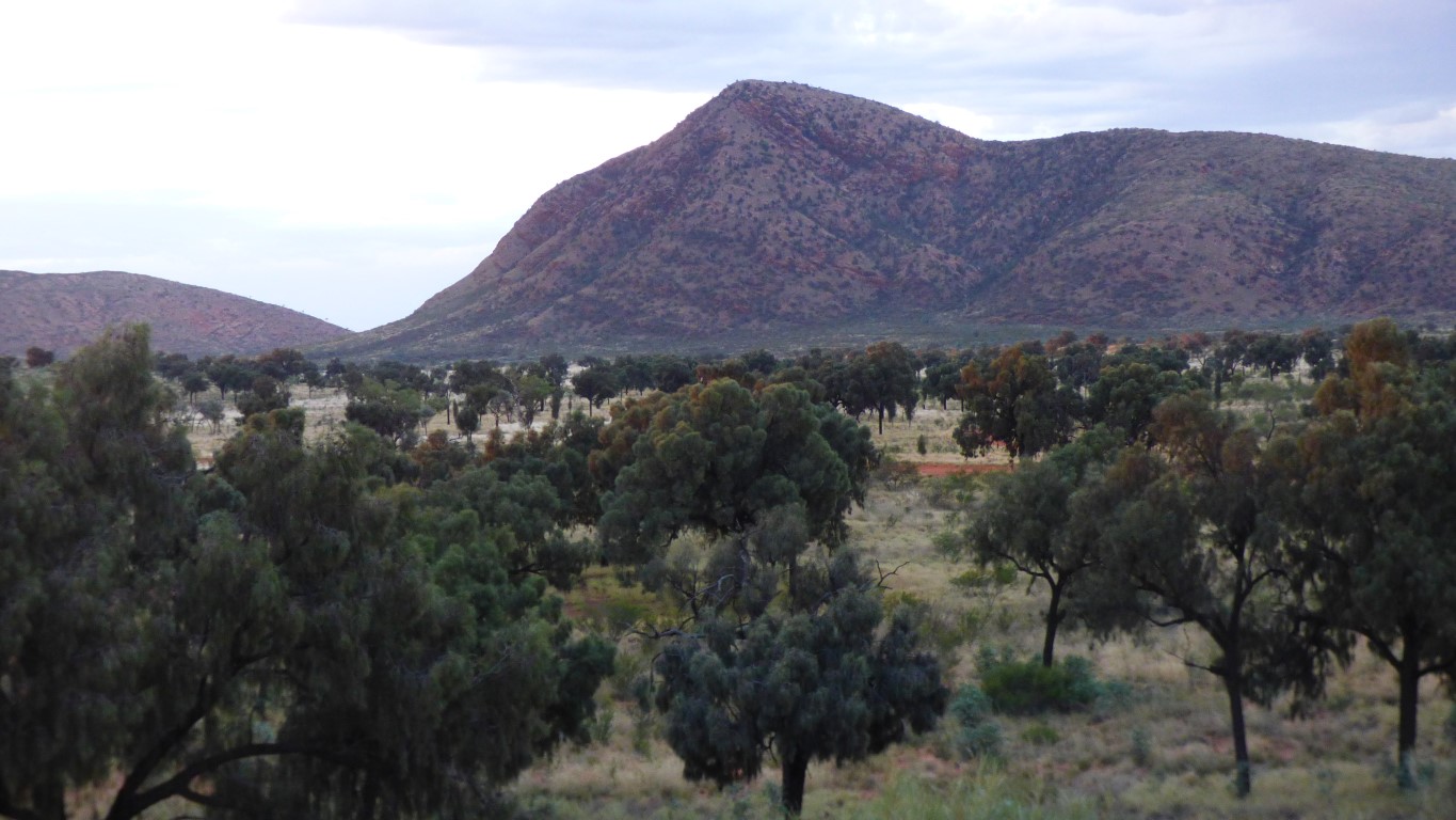
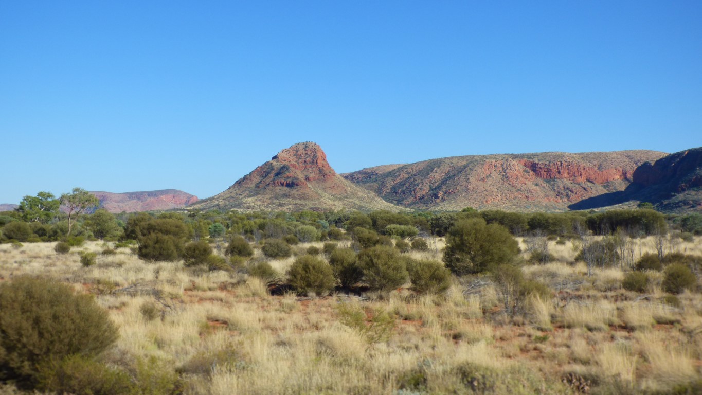
Similar to Uluru there is little or no scree built up around the base. They rise sharply out of the surrounding plain. Mt Connor more or less had the last scree slopes we've seen.
There are also none of what I would describe as foothills. Those little hills in front of the big hills and mountains.
Perhaps that's why they don't look as big to us as we know they are.
Unlike Uluru and Katajuta (Olgas) which are sandstones these ranges are predominantly quartzite (metamorphosed sandstone). Temperatures were as high as 700 deg C during the orogeny. Nowhere near enough to melt, and cooled at a couple of degrees per century.
Far to the east, Uluru (90 degrees) and Katajuta (15-29 degrees), were tilted, but not heated.
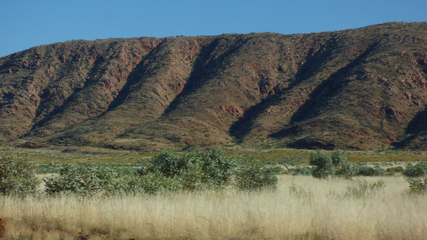
The Schwerin Mural Crescent is to our north and west.
We won't see all of it. In fact, very little of it. Just a bit of the eastern end.
The crescent is just that.
About 55 km long, with a radius of about 22 km. A bit more than a quarter circle.
This really is just the eastern end of it.
The hills behind up to 980 m.
The plain is around 580 m.
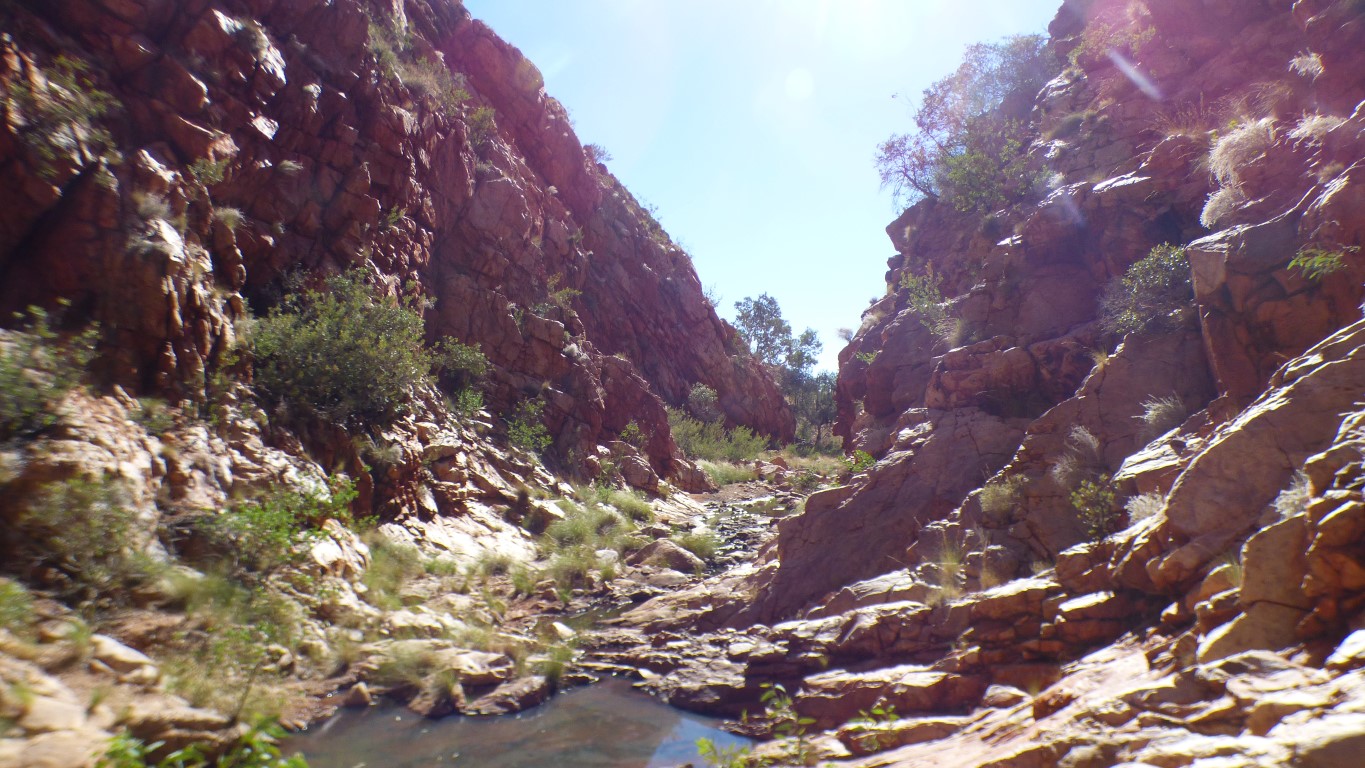
Perhaps I should just add "steeper than they look and not at all smooth". Not easy walking.
Further north there be dunes.
Len Beadell surveyed and built the road (with a bit of help from the grandly named Gunbarrel Road Construction Party) in May - July 1960 as part of a road network supporting rocket, and other, testing.
Len usually found straight ways alongside obstacles but this particular track had to find a way through some tangled geography further north. Round obstacles.
Which of course is part of the attraction.
Assuming we were looking at the right formation, it looked more like a soak that had been dug than a natural rockhole.
Either way it was dry.
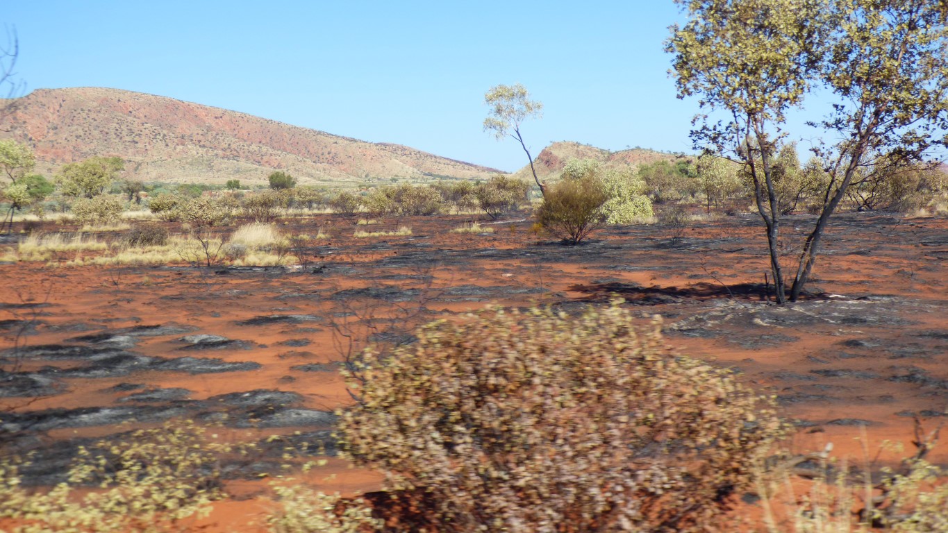
The smaller fires from Aboriginals are seen to be desirable in maintaining diversity as birds and animals and plants soon return. The sometimes larger fires from lighting and lack of frequent burnoff are more destructive.
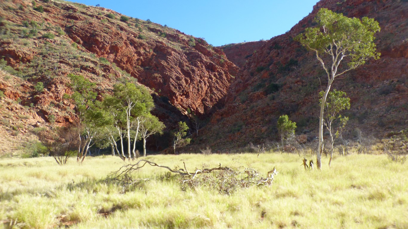
There's a rockhole in the cleft directly in front of us.
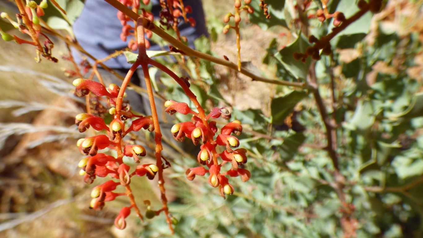
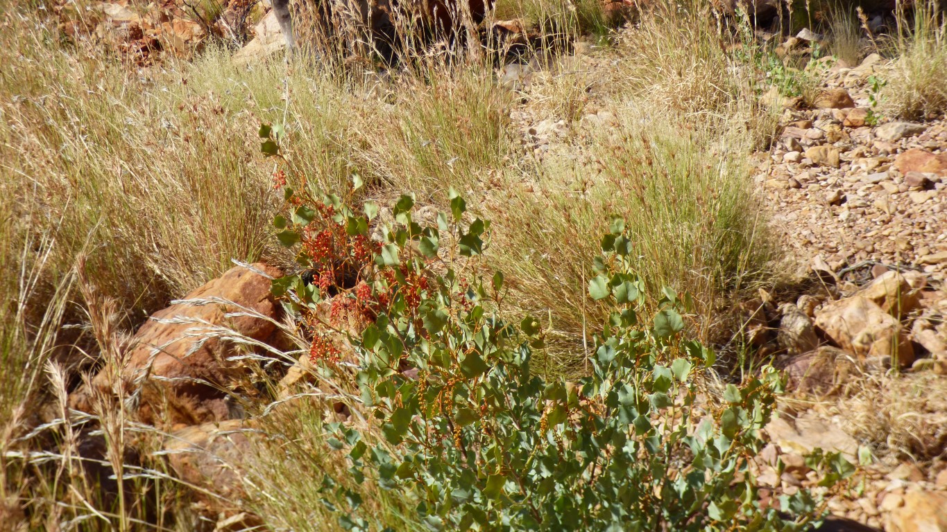
We need a book of desert flora.
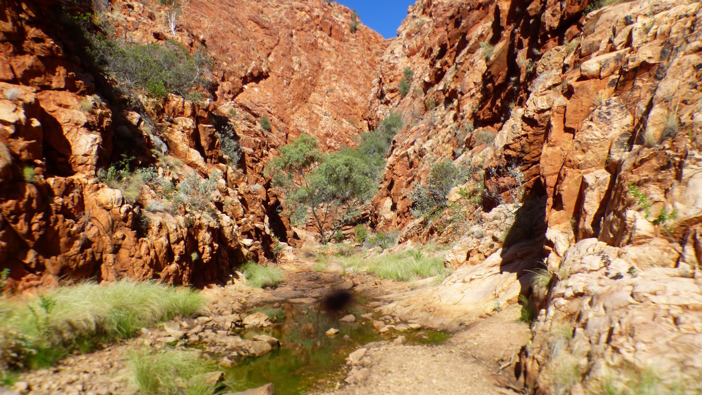
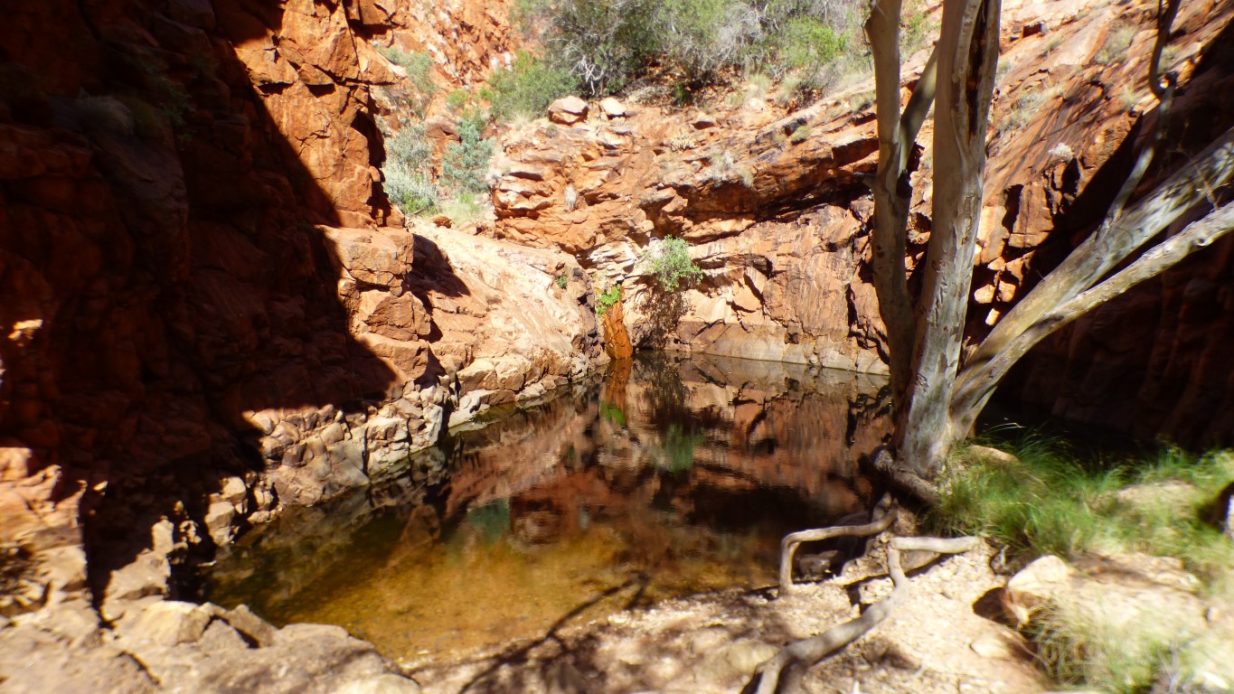
We don't need water so we leave it undisturbed.
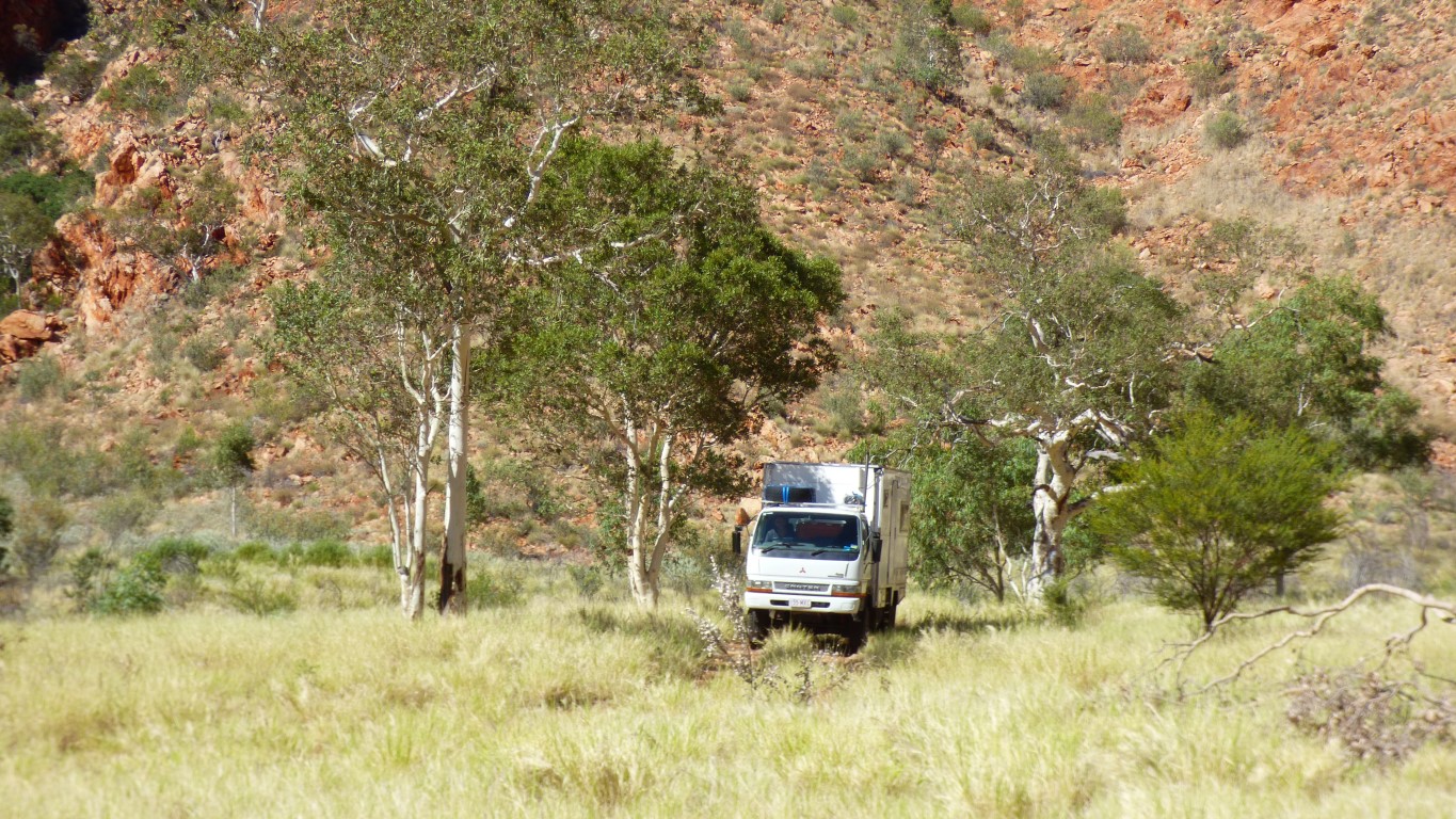
Having parked while we walked to the waterhole we moved to a suitable spot for camping. One of the few (still) photos we have of the truck moving. You'll have to trust me when I say its moving!
There's "the usual" handful of old campfires around. Nothing recently used.
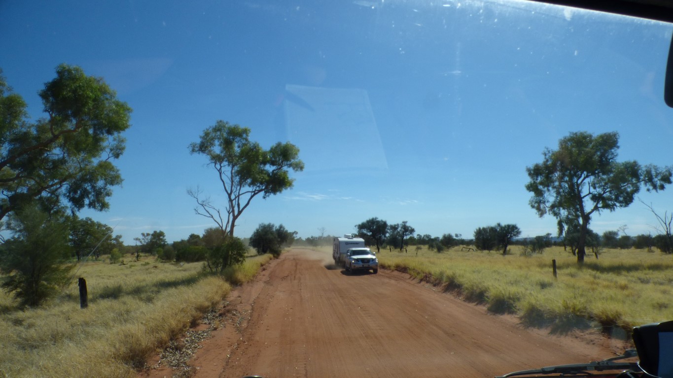
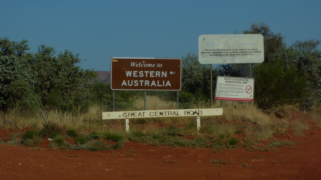
We believe we have sufficient fuel to reach Newman. But just in case, and to give us more freedom, we'll fill the tanks at Walungurru (Kintore). Hopefully the $2 / litre diesel price won't change by Monday. Today is Friday. Fuel is closed Saturday afternoon and Sunday. Fuel is more expensive further west.
We can either hurry to pass through Walungurru on Saturday morning, find fuel elsewhere, or travel slowly and smell the roses. Even with the 12 day permit limit we are not in a hurry.
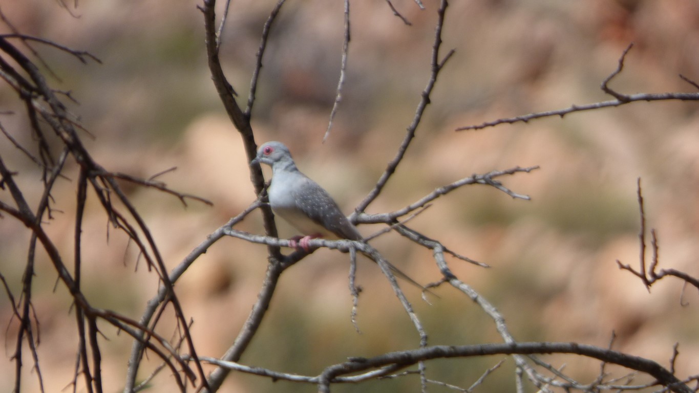
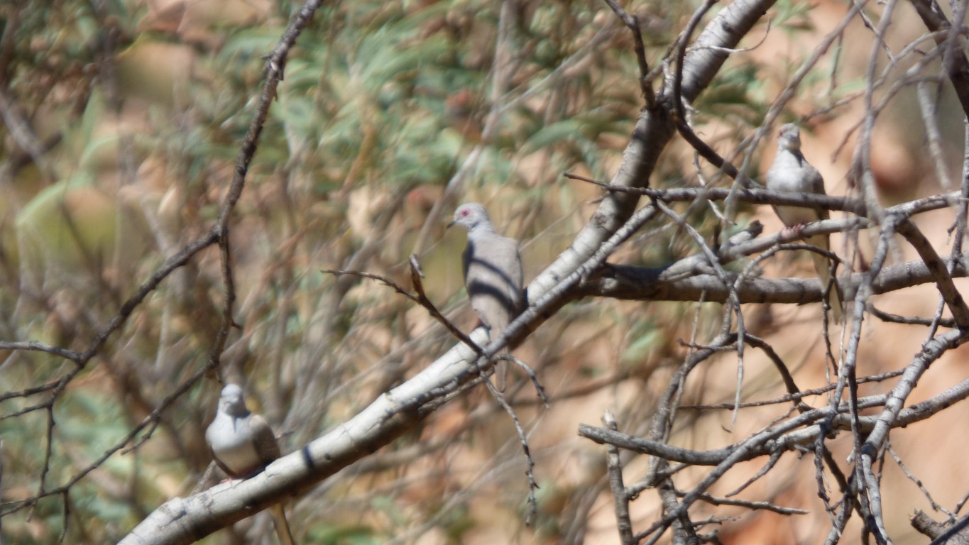
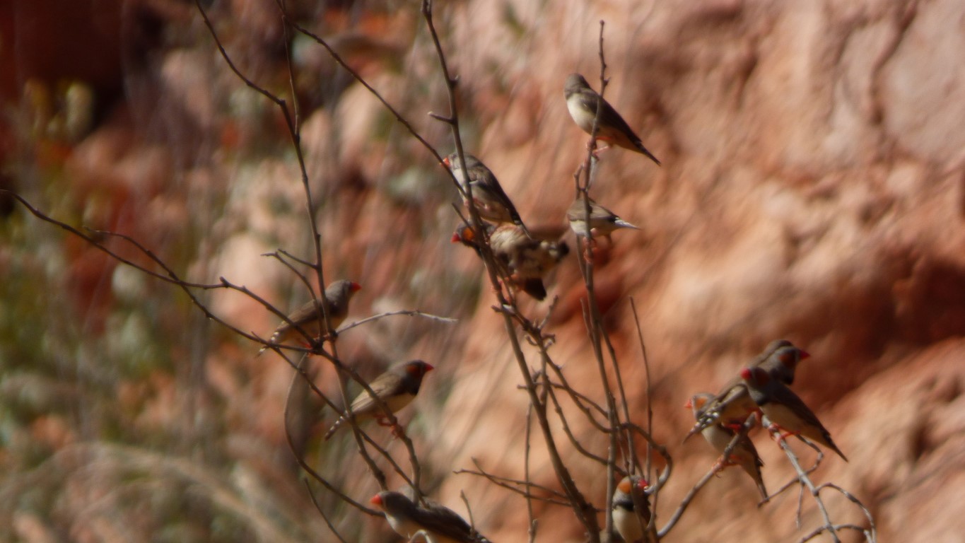
They must have been feeling the heat as they just sort of sat in the tree.
We were in shadow earlier than usual. Which made us cooler.
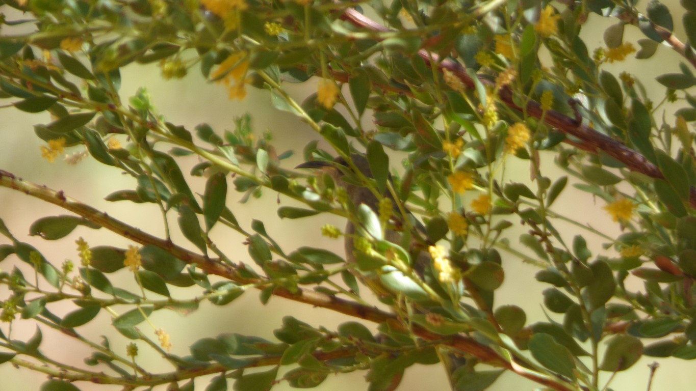
A very small bird, with a very long beak. Or is it the shadow on a leaf? Flitting in and out of the bush to tackle the flowers. There were several of them. A fraction bigger than a finch.
We also had a 4wd visit us for a short rest, with mum, dad, and the kids.
Next morning we were treated to a dawn chorus. What a difference a bit of water makes in an arid landscape.
Sadly, the parrots we saw briefly when we arrived haven't been heard or seen by us since.