Headed roughly north west to Gary Junction.
We are in one.
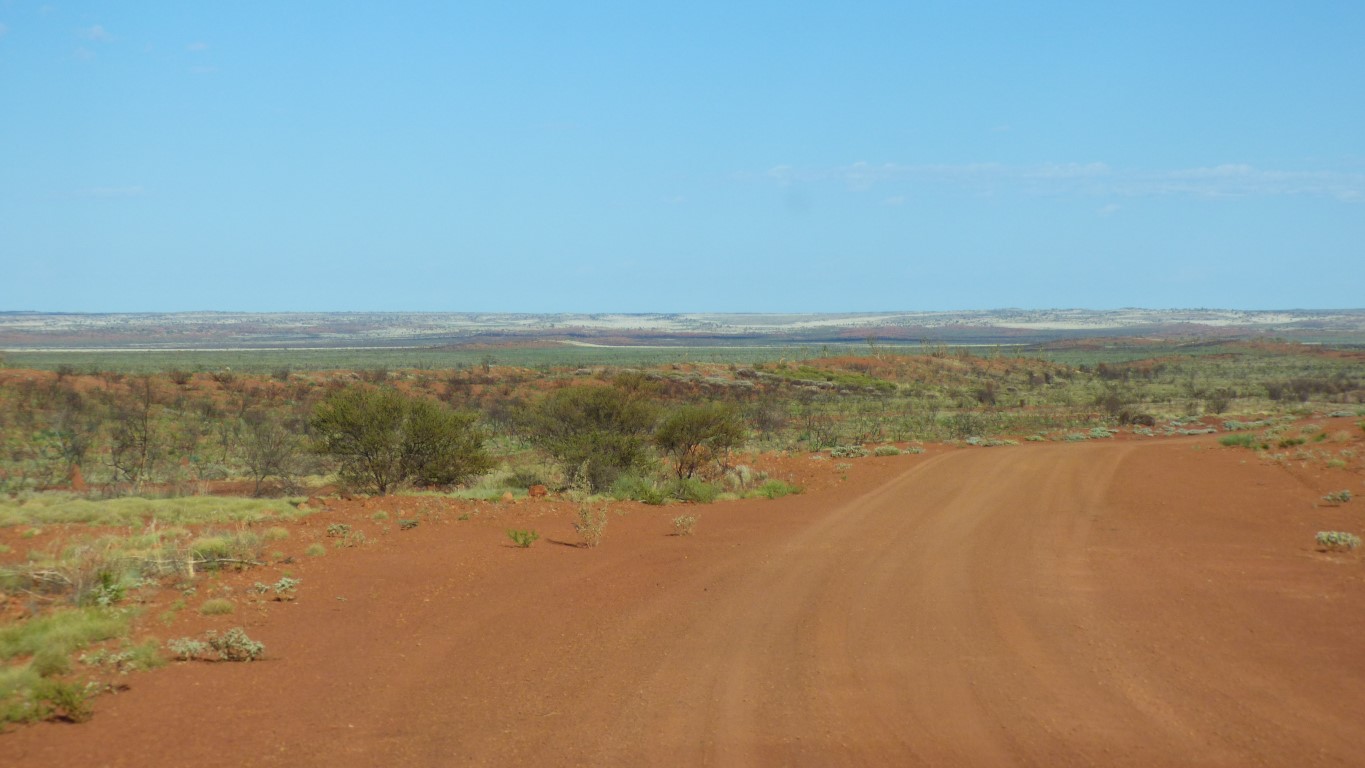
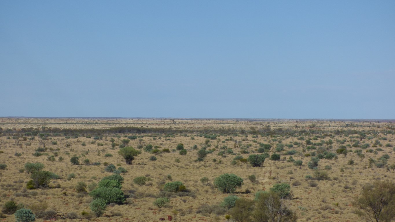
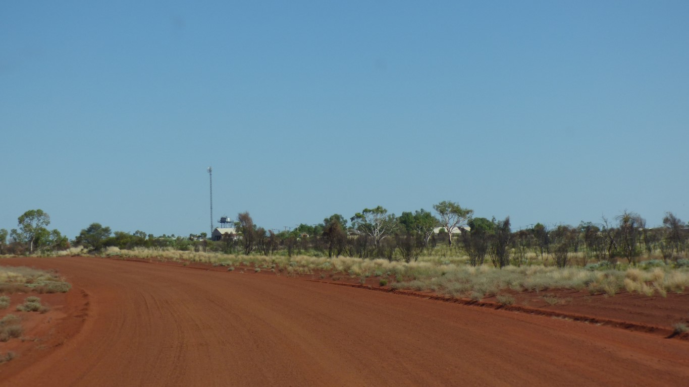
Gently rolling hills.
Eventually it loped off the side of the road.
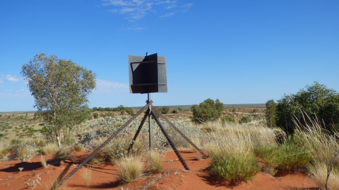
Someone had placed a survey marker on the top of the highest dune, before there were no dunes if travelling the same way as us.
Its at -22.9036, 126.2663
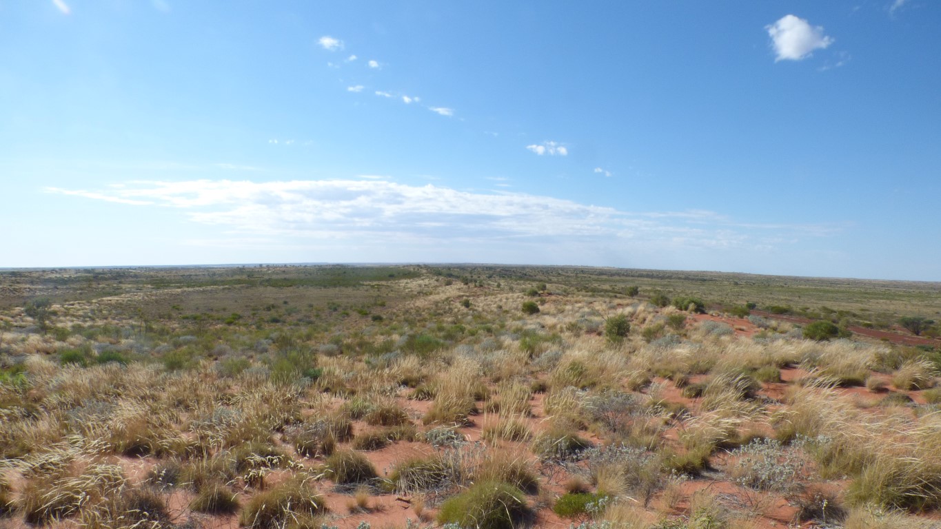
Looking back, whence we came, the dune curves around to the right.
Just about like a very wide crescent dune.
We see one other vehicle all day. Headed the opposite direction to us.
Almost as if two bits of road didn't quite line up.
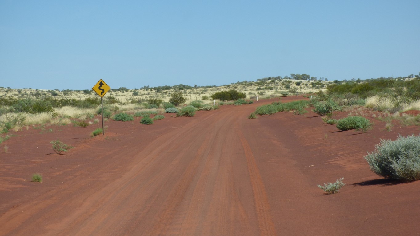
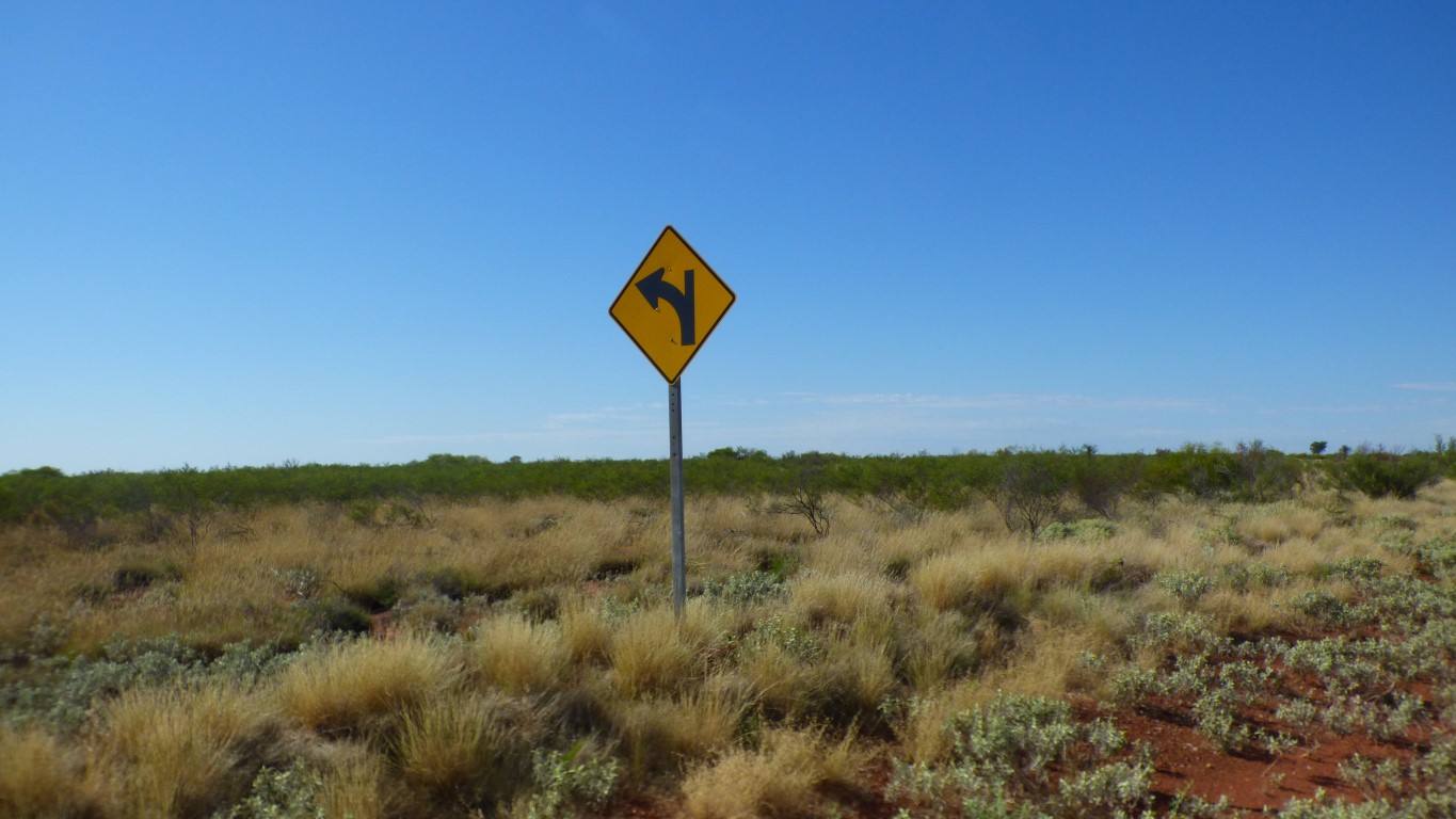
We aren't used to road furniture.
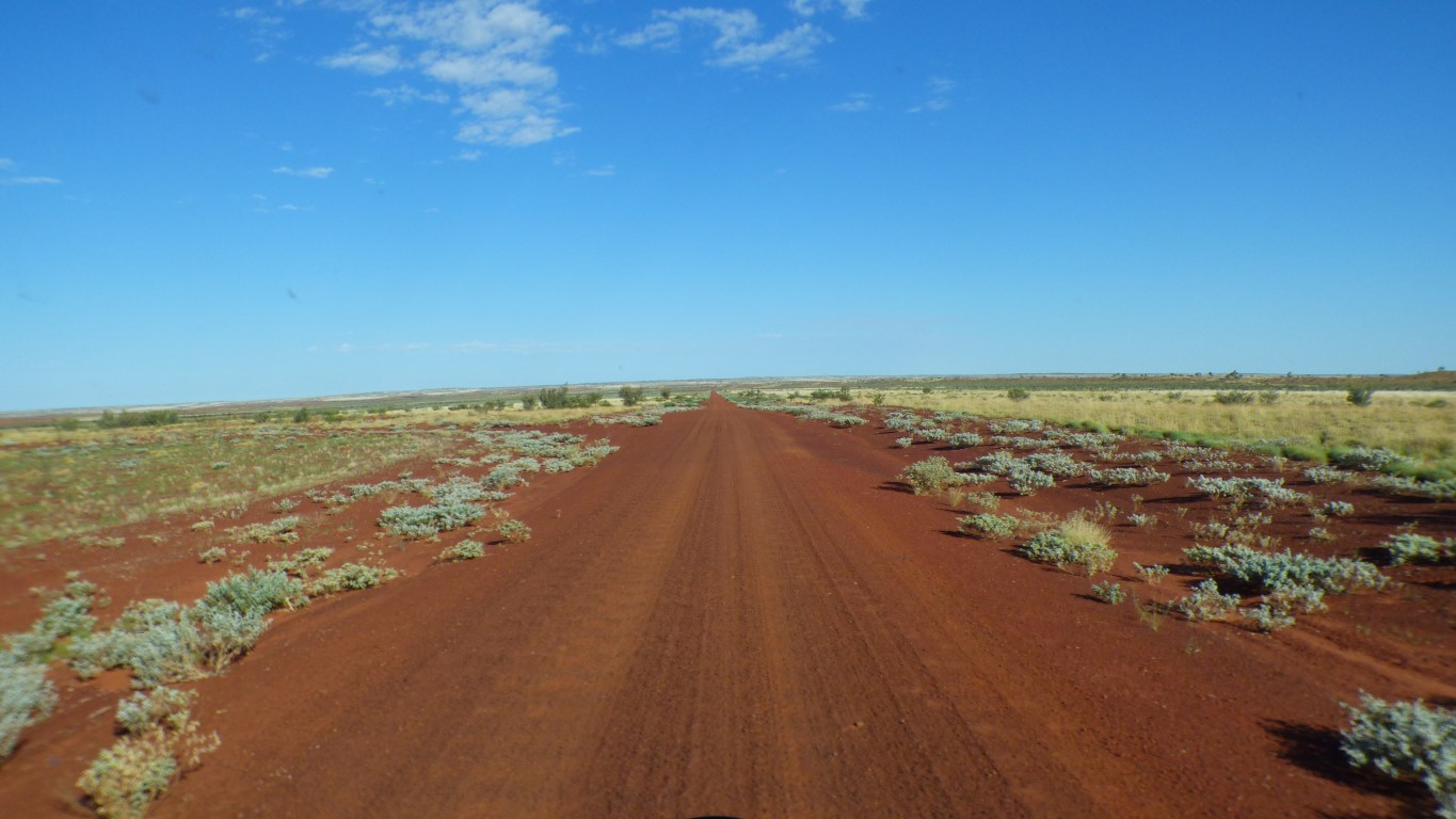
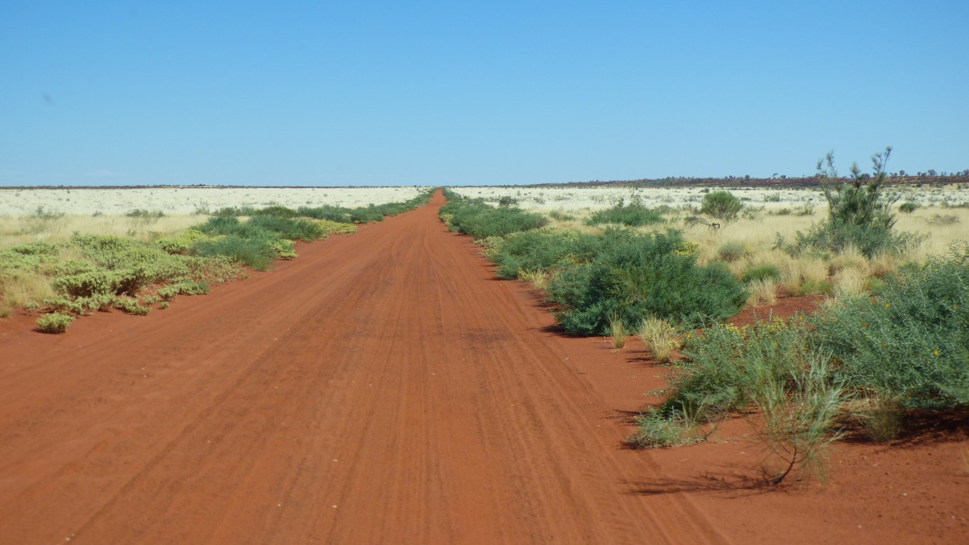
Corrugations are fascinating. They are most severe on any uphill section and on the inside of corners. They also occur randomly as drivers apply some acceleration.
The road surface, it depends where the material came from, is also more or less susceptible. And of course when the road was last graded.
I tend to hug the right hand side of the road, so that the broken spring has the smoothest path. Sometimes where no-one has driven for a long time. But that means switching to the left side of the road when approaching crests or sharp corners. Which means finding the right distance before the obstacle, before the corrugations are too severe.
And beautiful colours.
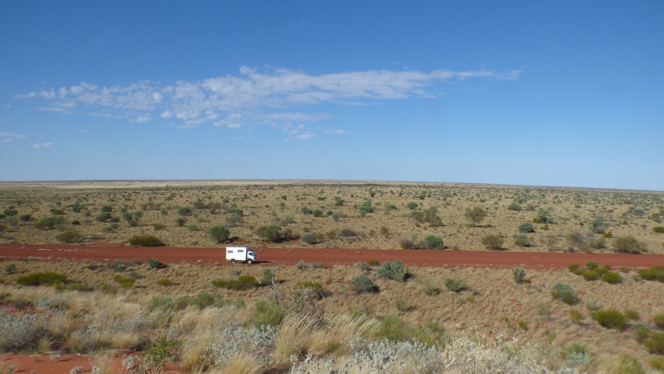
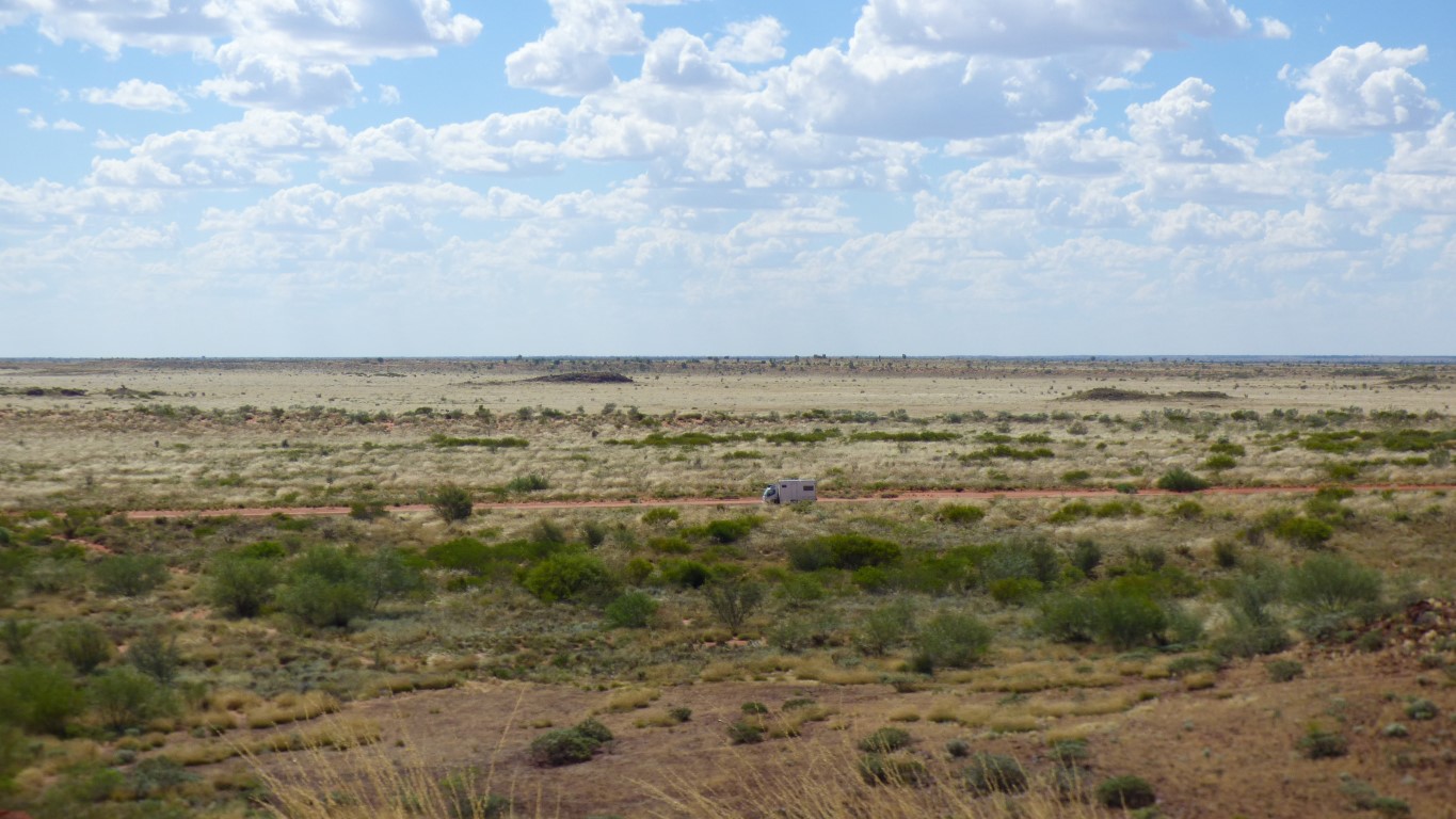
A bit tiring at an average of around 30 km/hr.
The last 50 km had "unavoidable corrugations". Very slow.
Looks like at least another 5 days to Newman.
The Telfer Mine Road is shown as "private road" on some maps. With a phone number. The number is no longer in use. Friend Peter tells us it hasn't been private for a long time.
Its currently 38.6 degrees C at 16:00 NT time. 36.9 is the temperature of my blood. I hope!
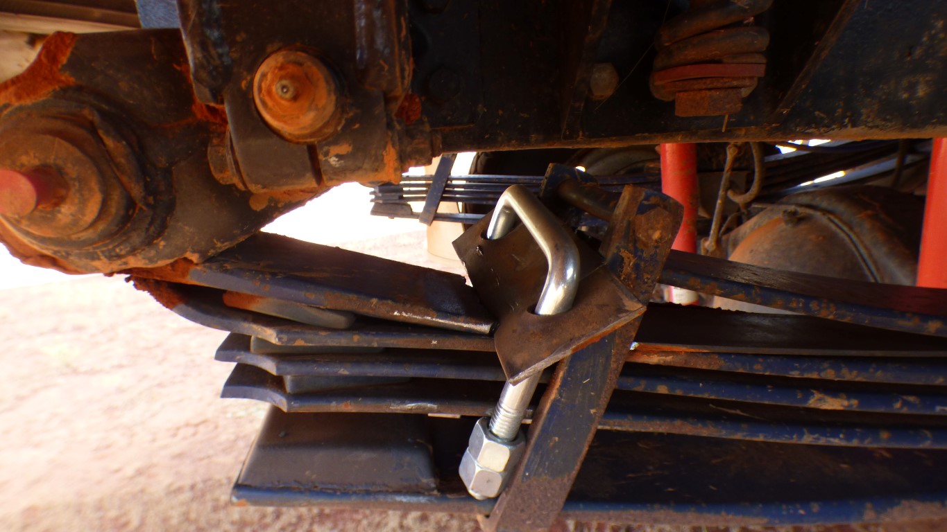
About 15 minutes. I'll adjust the plate in the morning. And add more grease between it and the second leaf.
I've pondered adjusting the shock absorbers. They have a soft compression and hard rebound. I can make both harder. Just the camera angle that makes them look odd!
I don't have the instructions.
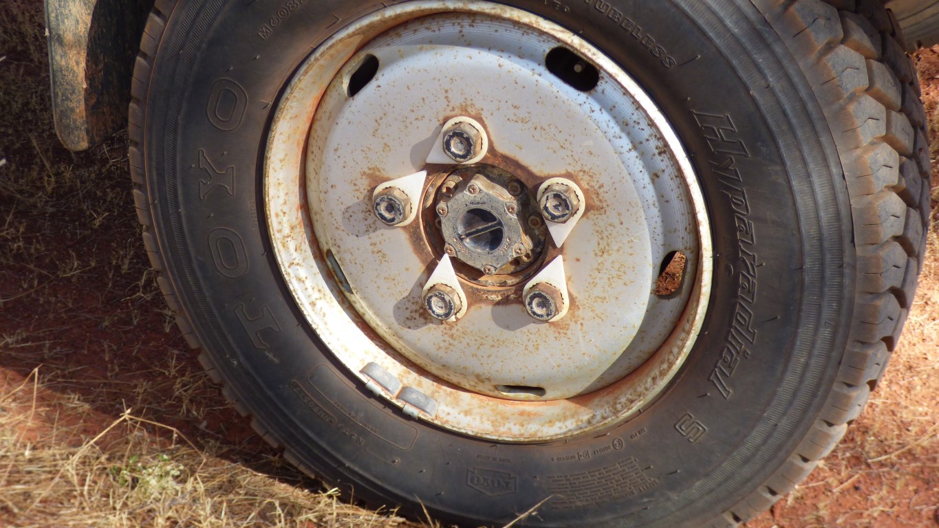
I now have a large piece of paper on the driver's seat with "wheel nut" writ large.
It's right hand front wheel. The one hitting vegetation as we hug the right side of the road. The plastic thingo is broken, it may be just the plastic that's rotated.
Then again ..... Only one way to find out .... try to tighten the wheel nut. And keep checking.
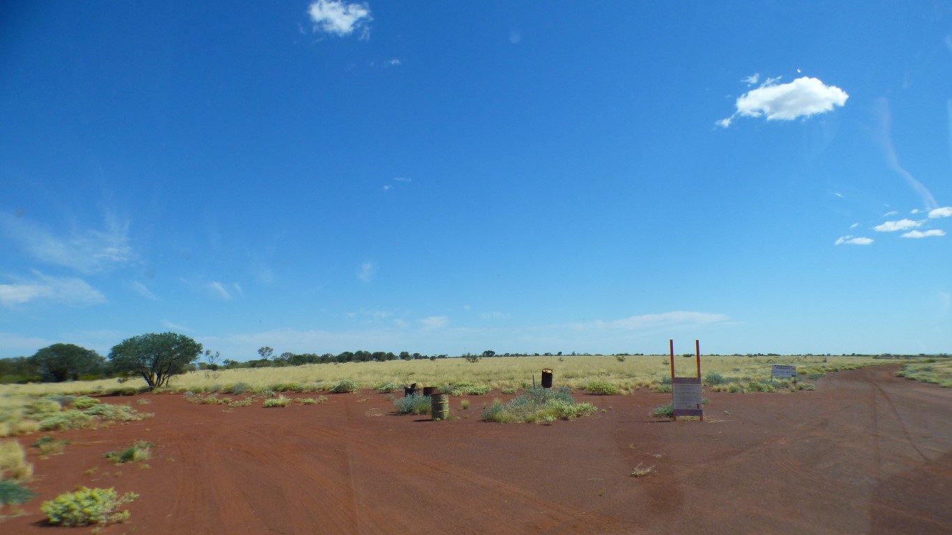
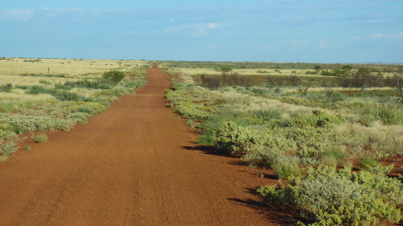
Signs of recent grader tracks.
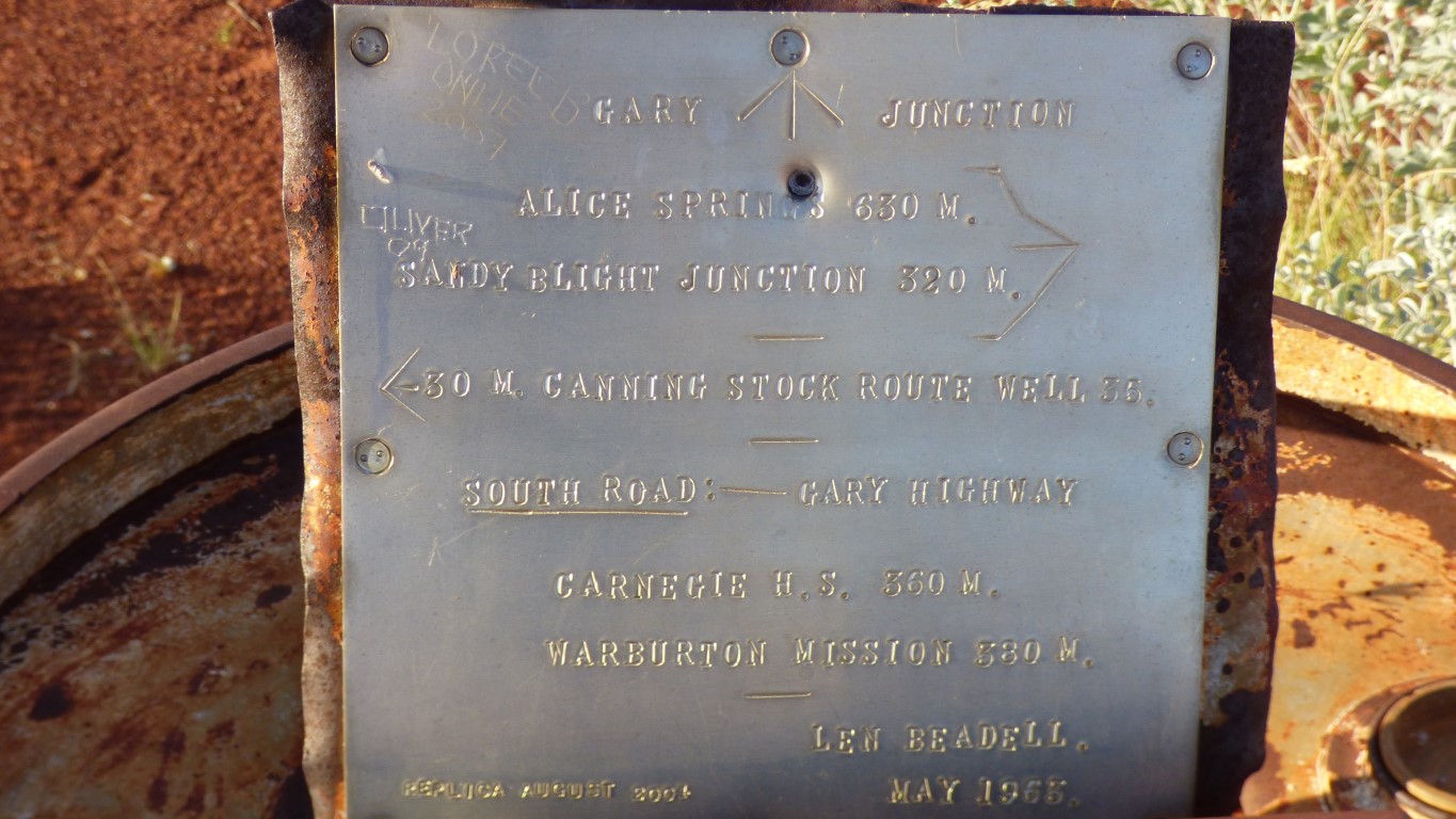
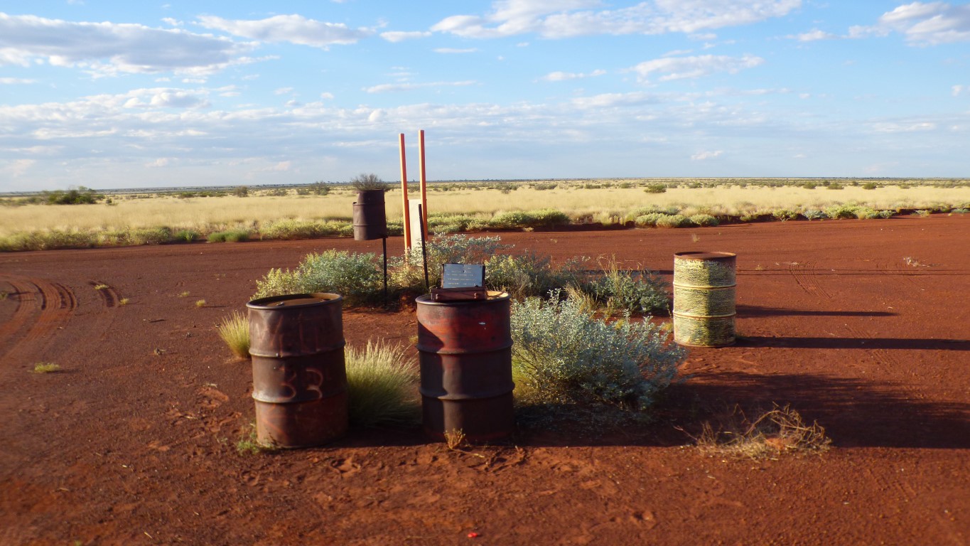
Replica of Len's plaque. 512 km from Sandy Blight Junction.
We like the look of Gary Highway. Doesn't seem to have been turned into a road (yet)!
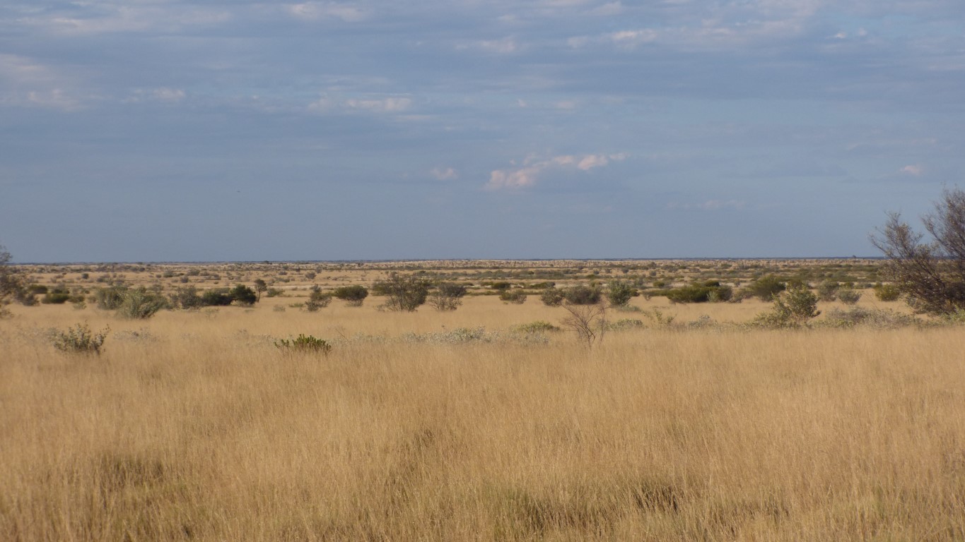
There is not a hill (or mountain) in sight, in any direction.
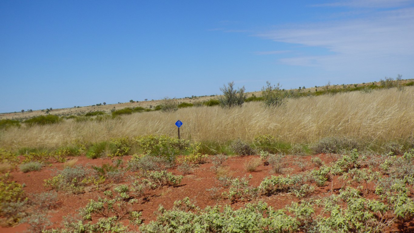
The Callawa Track (not in this pic) looks a bit overgrown. Just like the sign says.
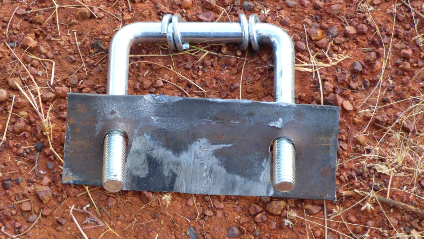
The "wear plate" is nicely scratched and worn, but also distorted. So difficult to locate under the end of the main leaf.
I have another piece. With lots of grease its now in place. Held by the other u-bolt!
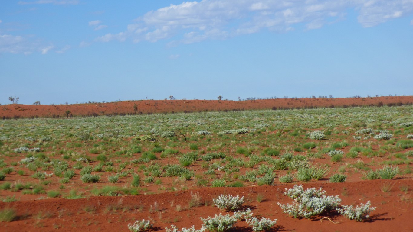
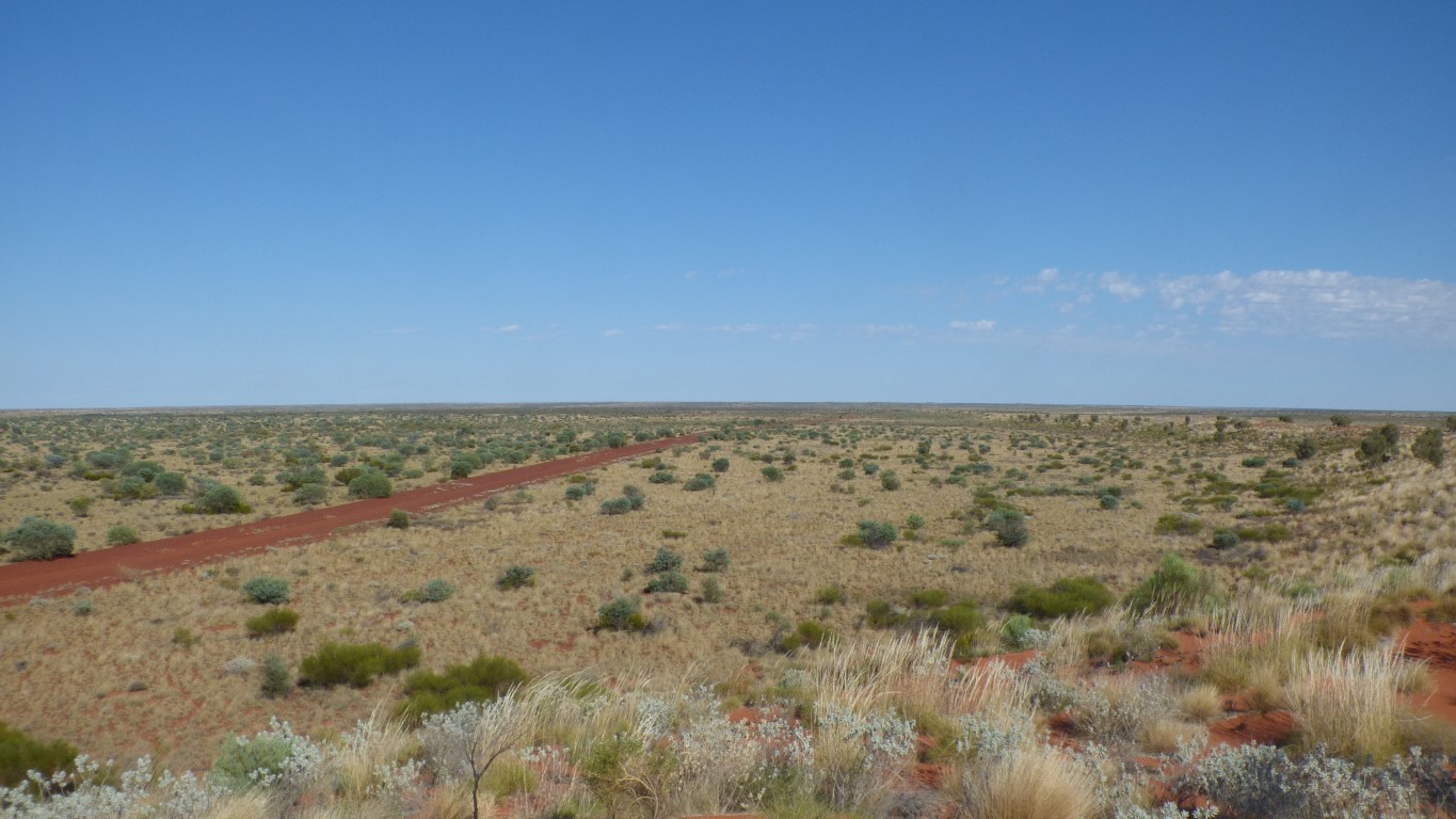
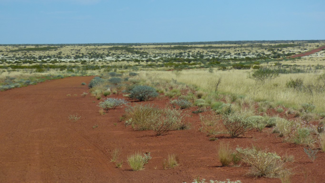
Though dunes re-appear after a while. Wide apart.
We are also now in the Great Sandy Desert.
We aren't quite sure where, or when, we left the Gibson. Something else for the internet to tell us.
Its hard to become lost.
This valley in the distance holds the Canning Stock Route. Roughly north to south. We are travelling east to west.
Canning Stock Route starts somewhere south of Halls Creek and ends at Wiluna after "a very long way".
From here to Wiluna is about 1,000 km, from here to Halls Creek is about 950 km. If we drove at 35 km/hr we could just complete the 1,950 km.
Its a long way to drive cattle.
With a reminder from the Martu people.
Must be something for a future trip.
We'll hopefully see a bit of the northern end when we start back to Brisbane in August. A circuit of Lake Gregory as a detour off the Tanami Road.
We have no need of supplies.
Our fuel consumption since Walungurru (Kintore) reflects our slow rate of progress. An estimate is that we will manage nearly 1,000 km on one tank. Our total range could be 2,000 km. Though a very slow range.
I normally think of our range as between 1,200 and 1,600 depending on speed and terrain.
Limping along ....
Definitely not Len's.
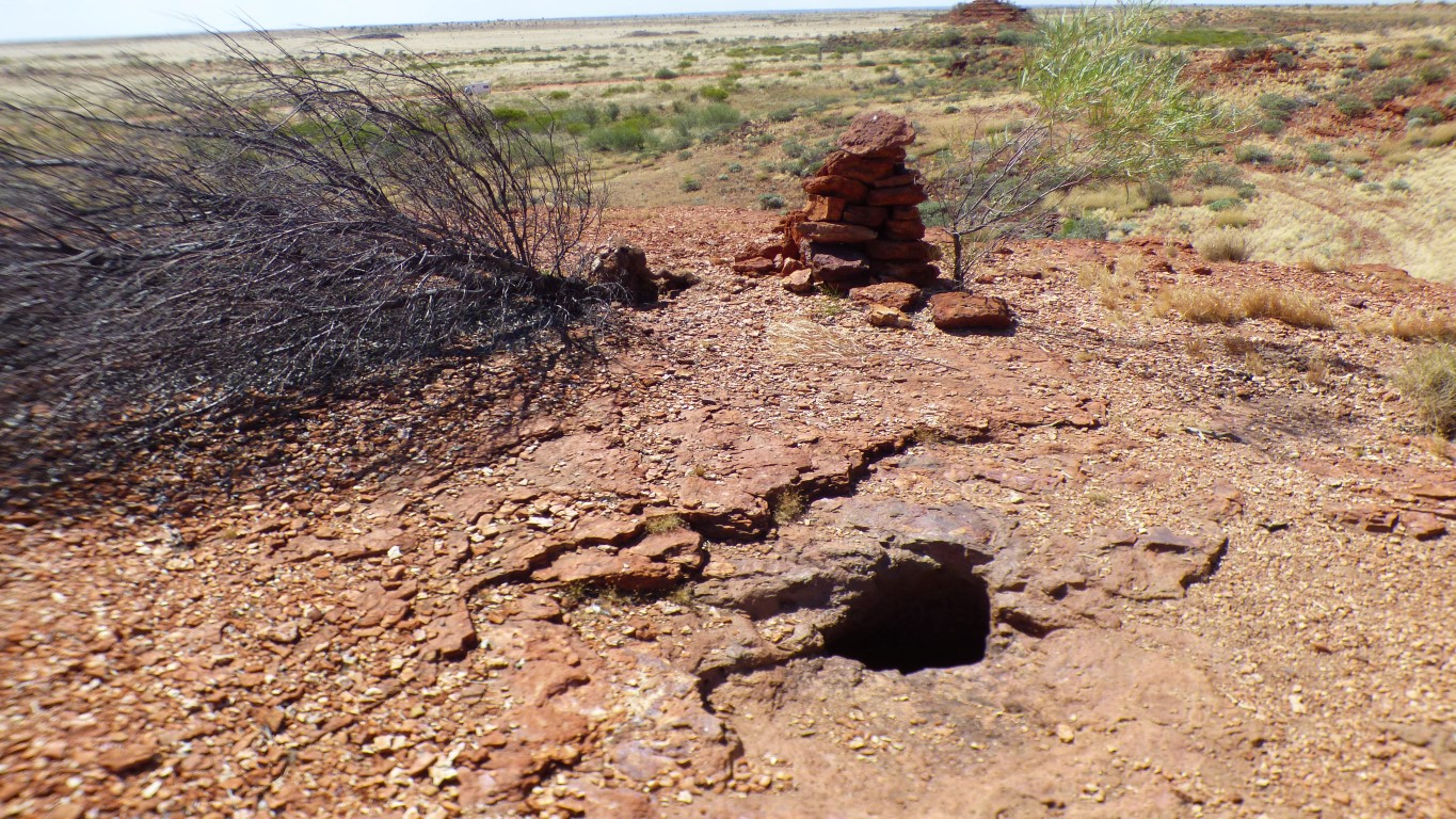
On top a cairn.
And a rockhole.
About a half meter diameter and a meter deep. A few drops of water in the bottom.
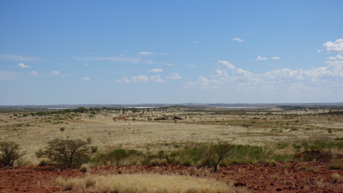
About 8 km away.
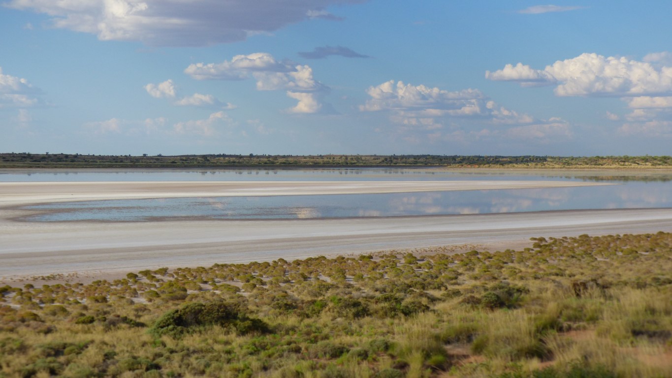
Looks salty. But a different patch looks like it has some water.
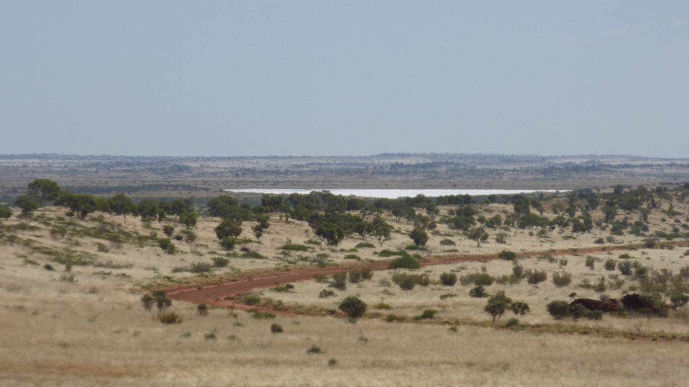
It has water.
We haven't walked far, but we are very thirsty.
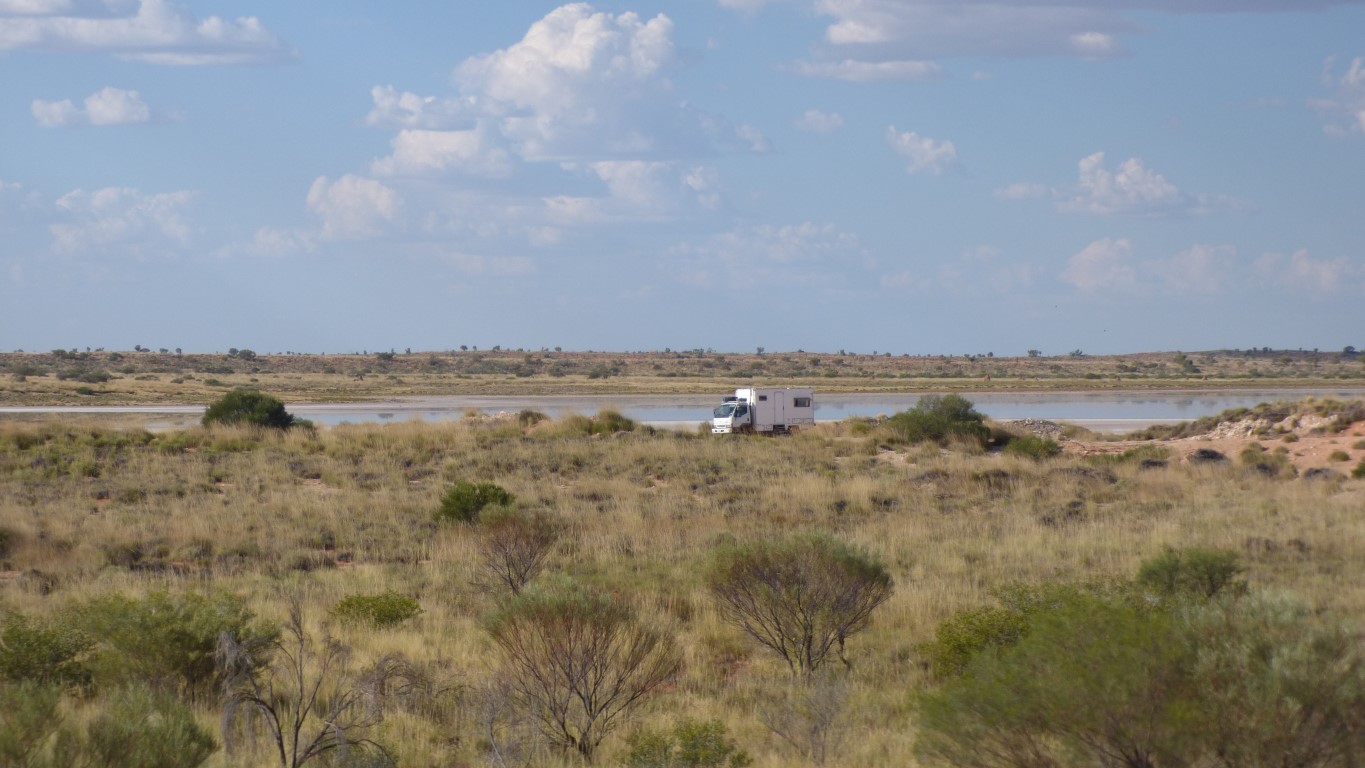
Just east of where Kiwirrkurra Road meets Nyangumarta Road (Kidson Track).
Very few birds. Almost none.
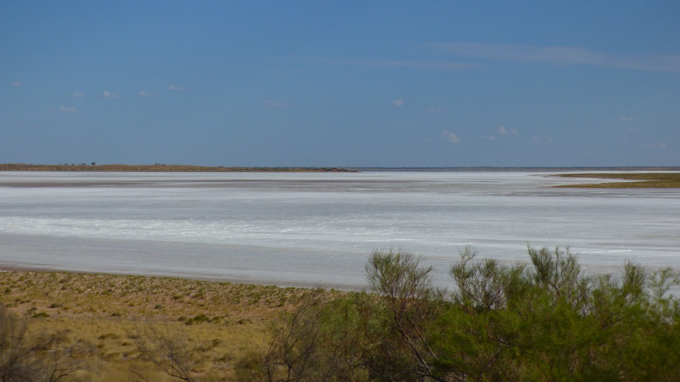
It extends about 50 km south. Part of a series of lakes that extends through the Great Sandy Desert. There seems to be a connection from Ruddall River, through Lake Dora.