Not many minutes to pass the Mt Elizabeth Station turnoff.
Our original grand plan included Mt Elizabeth and the Munja Track. The first casualty of our engine woes.
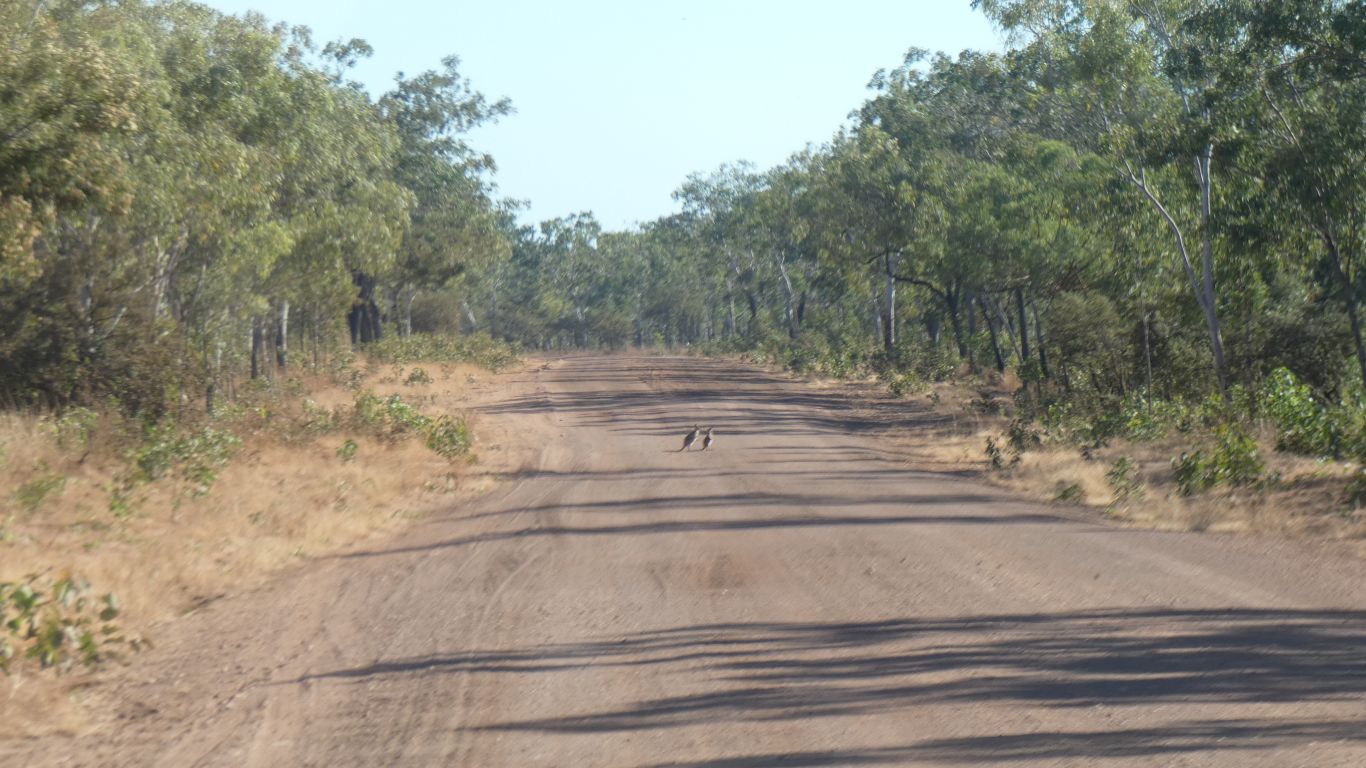
This pair hopped away before we got any closer.
We've seen one piece of road kill in quite a few days. It took a few seconds too long for us to realise there was a cat feasting off it, we realised as it started running away.
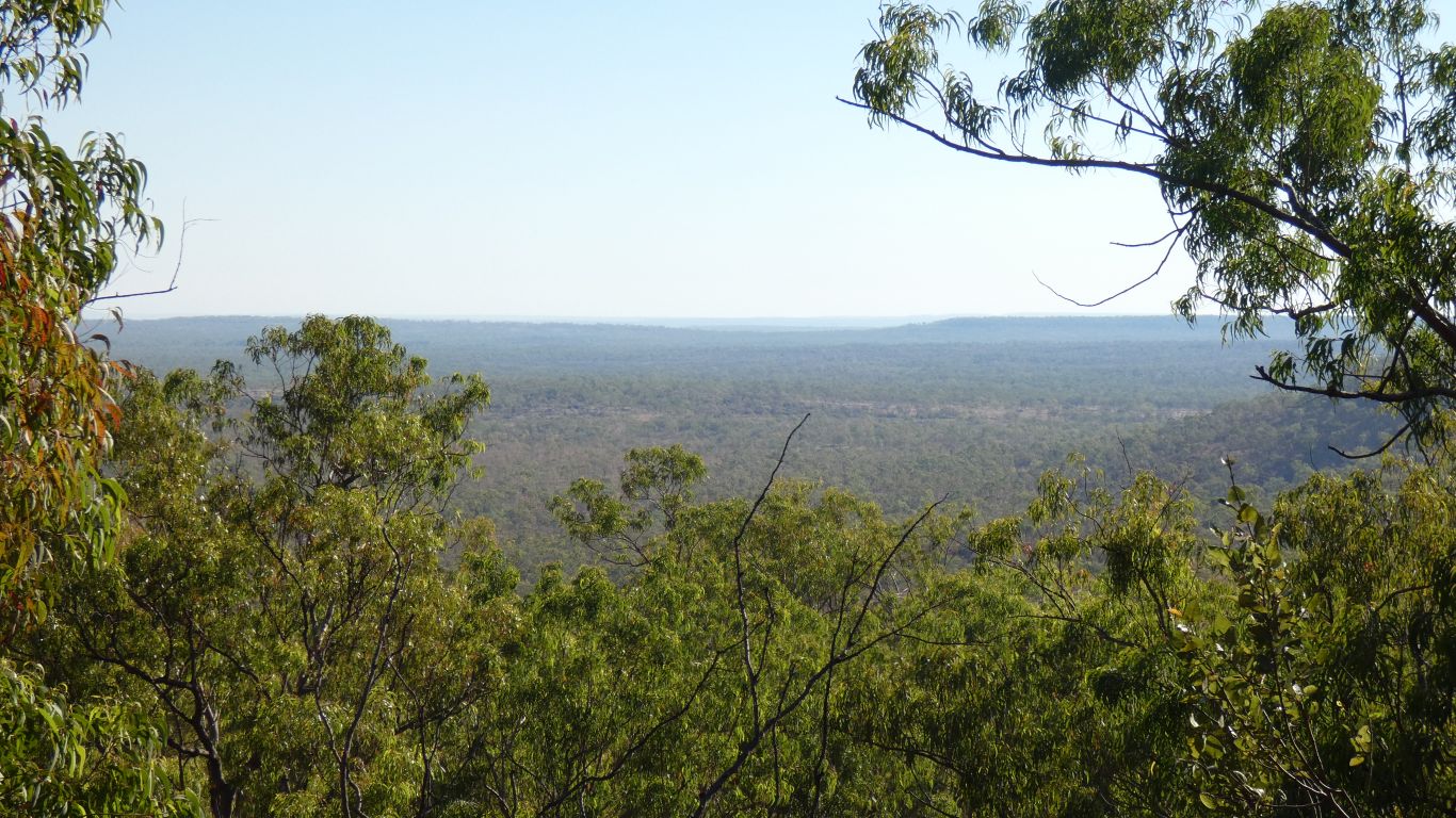
We've left the boabs and acacia to the south, we spend the day in open eucalypt forest with mostly cane grass undergrowth where it hasn't been burned off.
Occasionally we see signs of palms and other more tropical vegetation in small pockets.
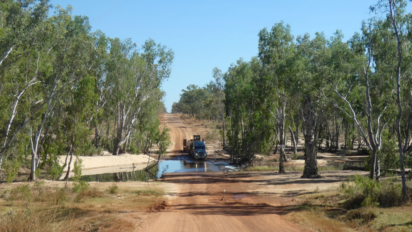
The road train driver stopped at the ford for a cup of tea ..... a good way of avoiding passing vehicle dust.
We dumped our rubbish in the Drysdale River rubbish dump and carried on.
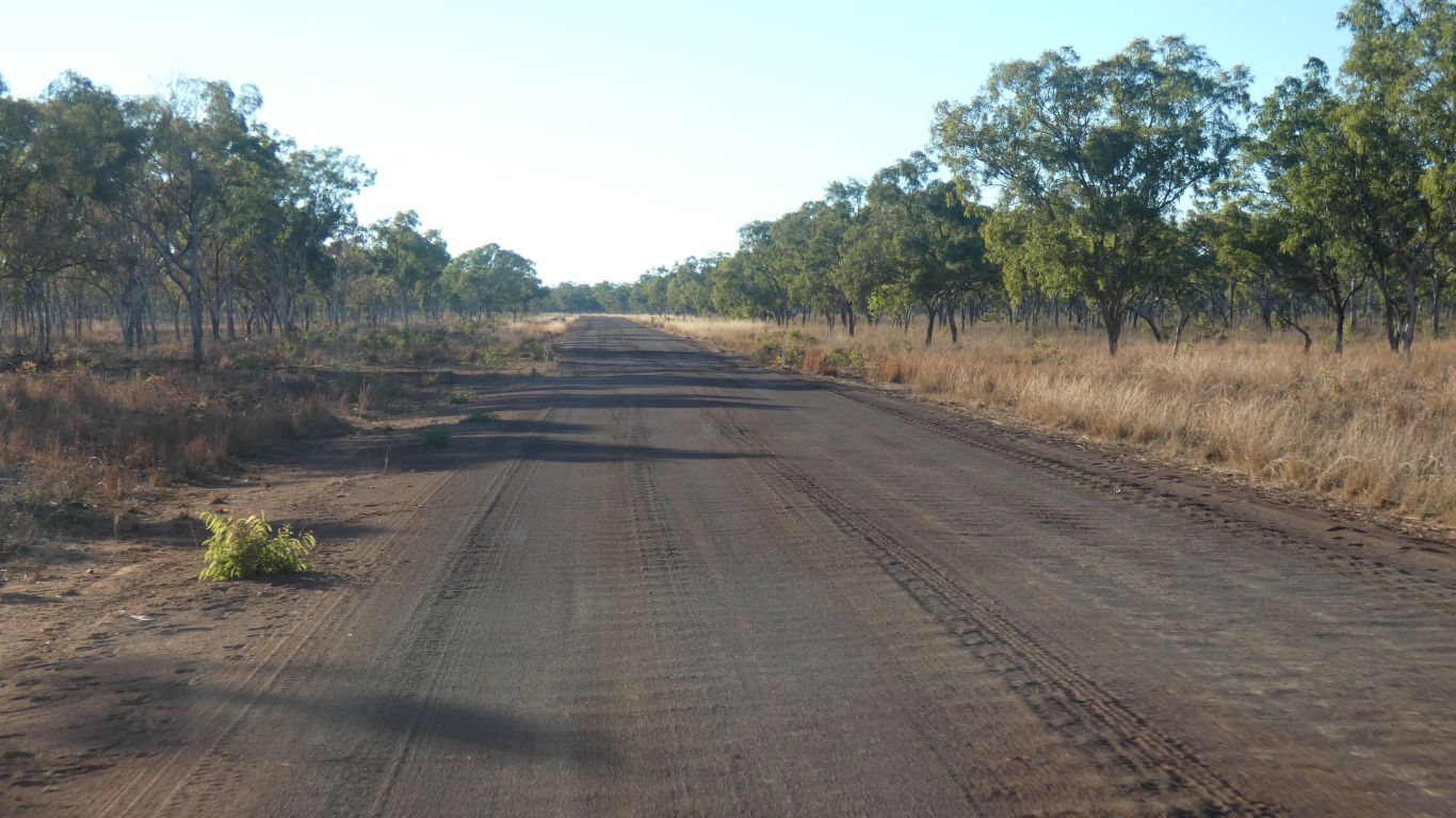
The next 30 or more km were painful. Monster corrugations. We let some more air out of the tyres, selected 4wd, and found about 50 km/hr was about right. The springs were working overtime. Part of me knew it was best to find the most comfortable speed, part of me wanted to slow to a crawl, even knowing that would be painful and probably harder on the vehicle.
Further north the road improved again, mostly smooth, and we easily maintained a healthy 70 km/hr - limited by our tyre pressures and deciding not to re-inflate. We aren't in a hurry, but would like to reach the campsite today ....
The corrugations seemed worst on red sand that had fine dark gravel mixed in. Where the road had been well formed or where it was just laterite the corrugations were hardly noticeable. We've observed this relationship between road surface and corrugations elsewhere. Then add corners and hills ......
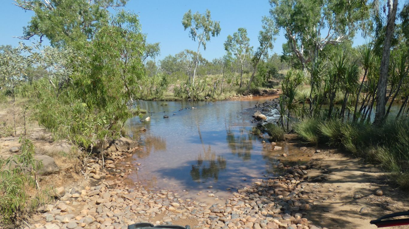
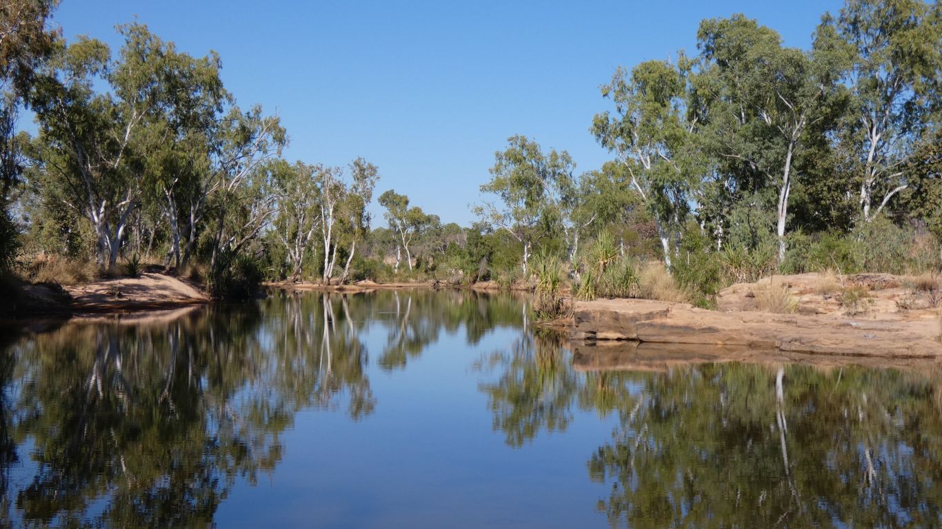
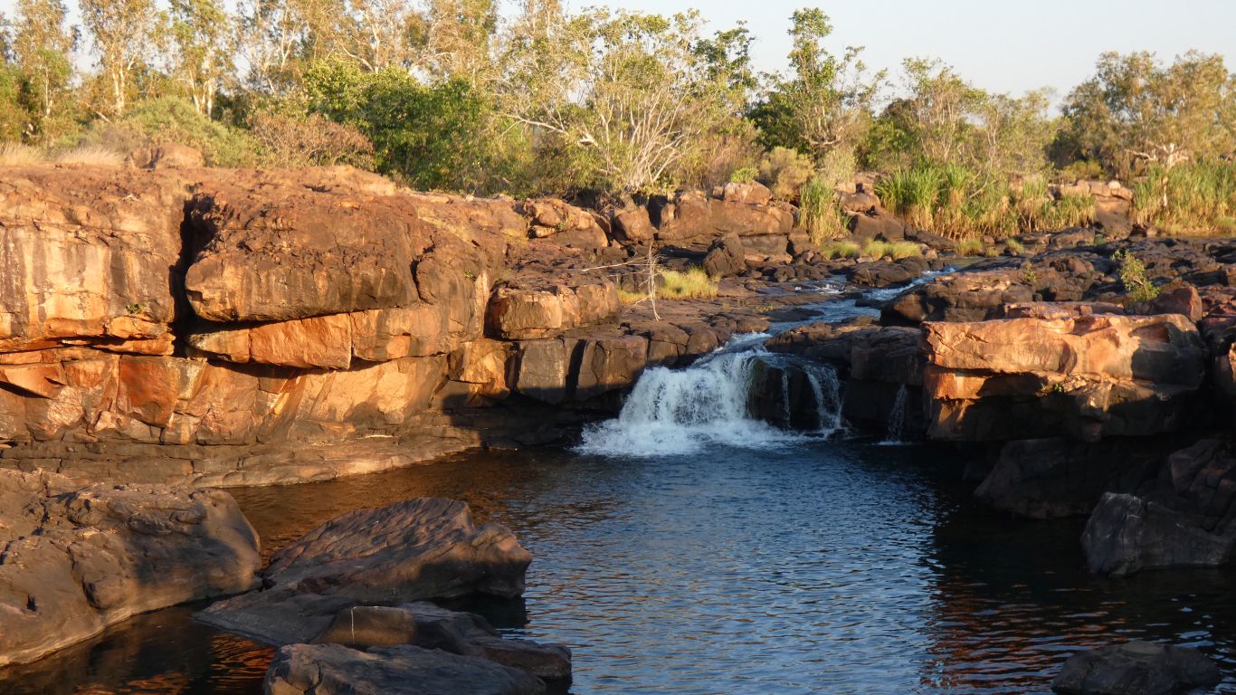
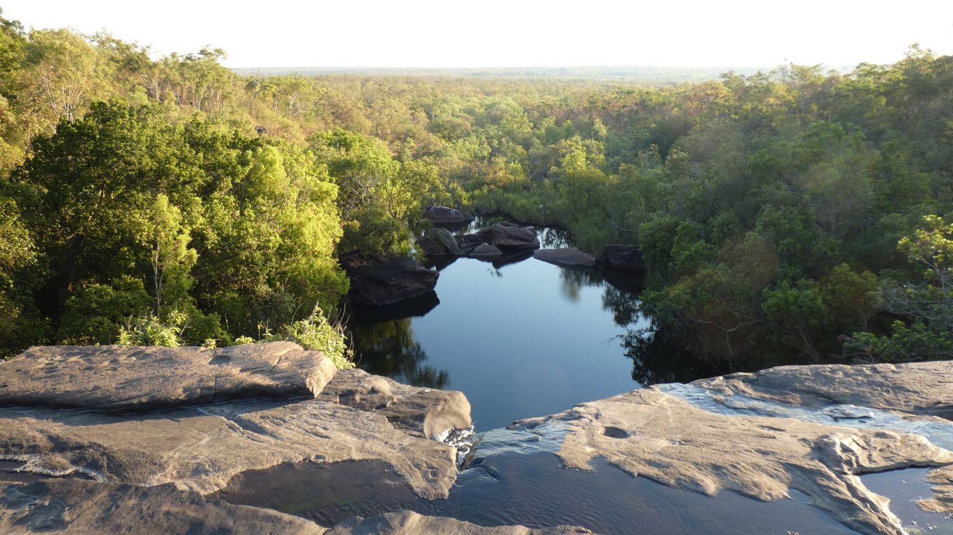
This is the King Edward River crossing. Just before the campsite alongside the river, now labeled Munurru.
We'll camp there.
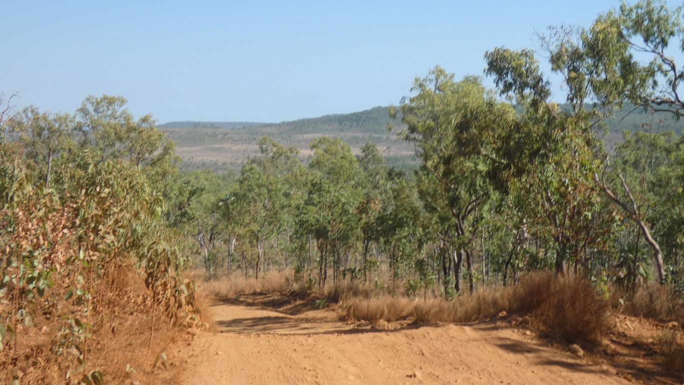
The "this road is unmaintained" road for the first 8km to campsite is in good condition.
But we won't know about the rest until we drive along it.
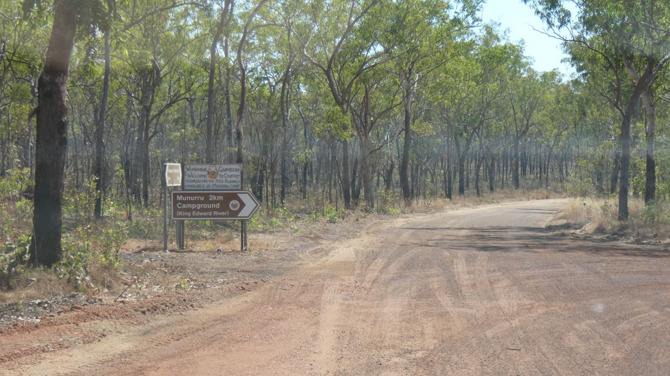
There's a bit of roadworks just before this junction that looks to me like it may be preparation for a gatehouse. The permit price is due to rise next year.
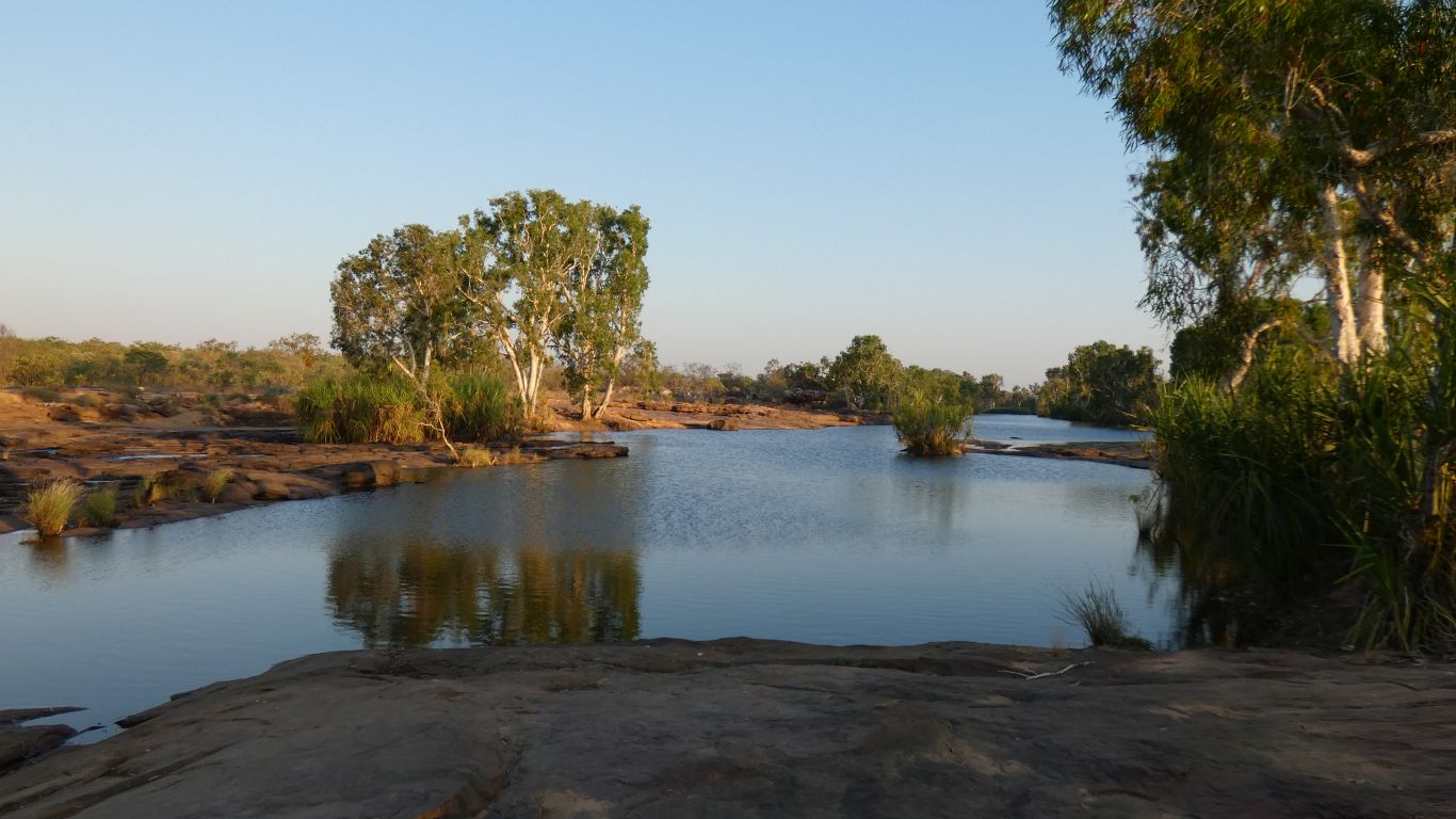
I'm uncertain what the horizontal greyish hazy bit across the pic is.
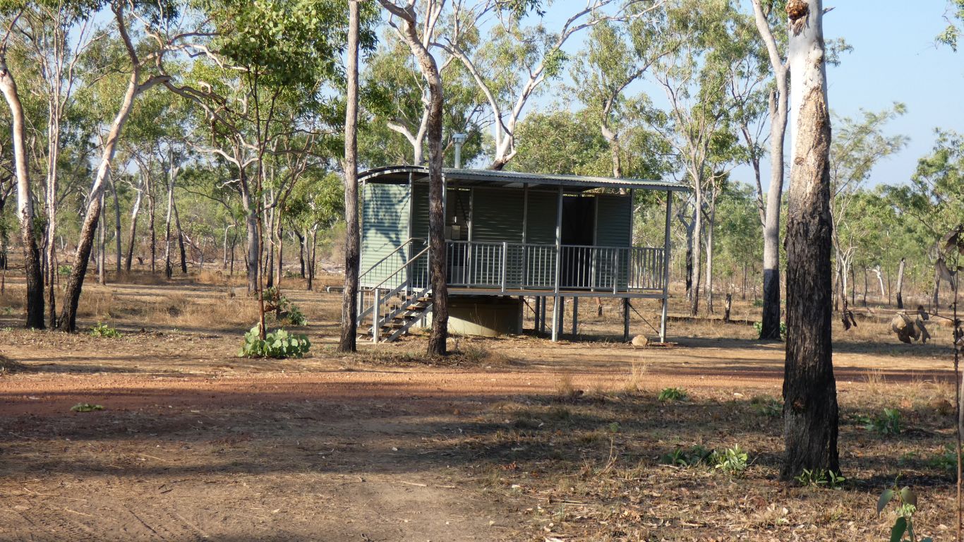
Hybrid loos. Some serious infrastructure. At least four dotted around the site.
We just need a dump point.
We spend the afternoon resting "after a hard day at the wheel". We'll look at the Munurru rock art on the way back.
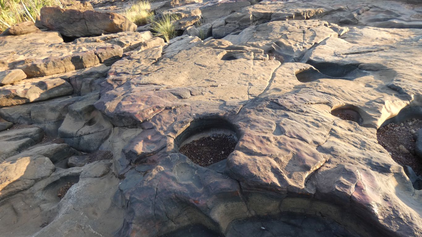
We can't decide if the rock is sandstone or basalt. How sad is that.The holes aren't dinosaur footprints, they are formed by small stones swirling around in water.
The surrounding rock is pink and polished.
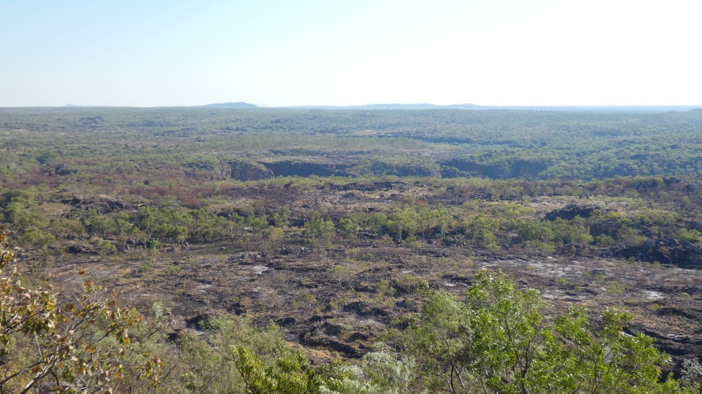
We are on the Gardner Plateau. 280m above sea level. The highest we've been since the Pilbara.
The rivers we've crossed cascade off the plateau towards the sea.
The road meanders a bit, staying on the plateau, avoiding escarpments.
We saw our first black cockatoos for the trip .... but too slow with the camera.
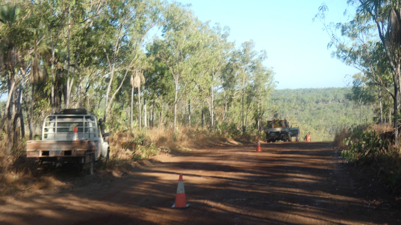
The first 10 km is in good condition. The road crew have another week then move to tackle the road to Kalumburu north of the Mitchell Falls turnoff.
We waited a while for the grader to do another sweep. Apparently people have some difficulty getting up the hill we are about to descend.
Our "lollipop lady", who used hand signals, and "grader driver" husband are from Victoria, working here for the winter.
Rounded rocks protruding above the road surface slow us, as do the couple of washouts .... a high level of concentration required, which is tiring.
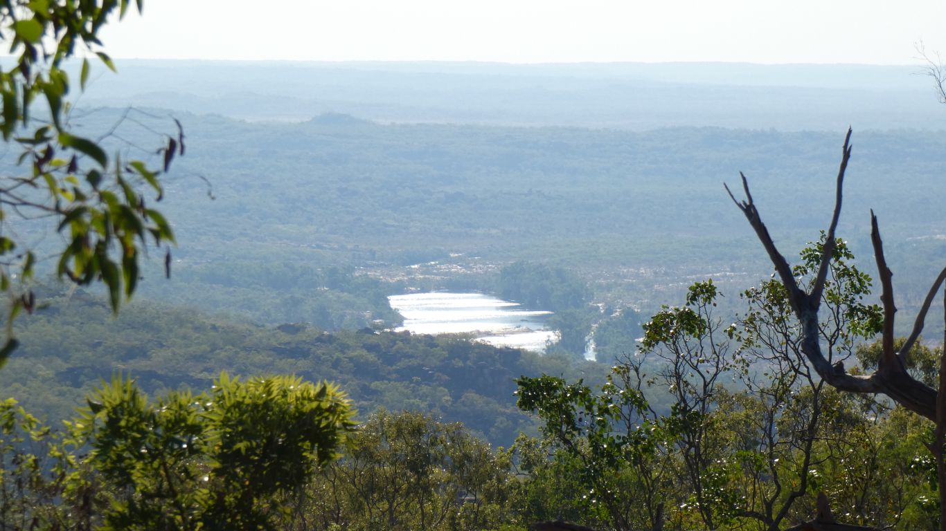
We stopped for a pause at the Miyalayi lookout (we think the coordinates may have been transposed somewhere ...).
Looking north towards the coast. The Lawley River flows from the plateau down the escarpment in front of us. The tidal mouth is about 30 km away.
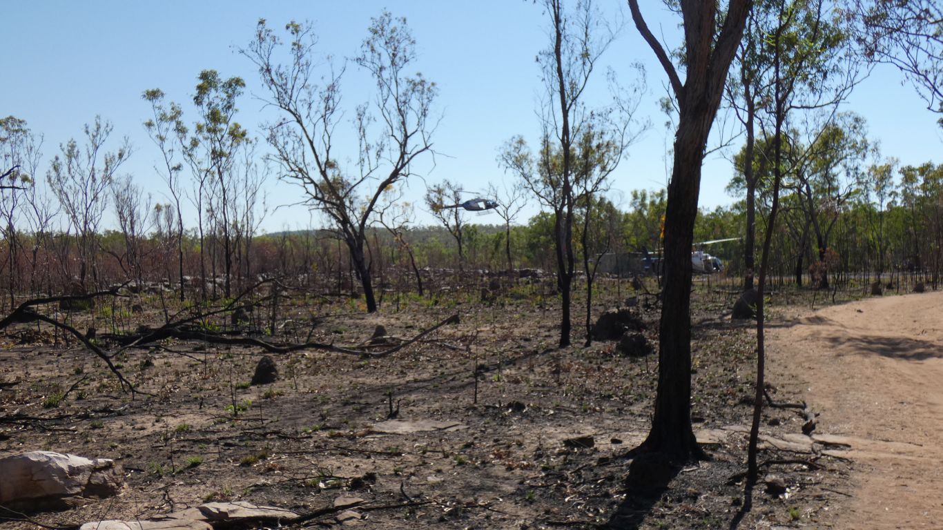
Between the "generator area" and the heli-pad.
Whoever thought it was appropriate to have camping and a commercial helicopter operation next to each other in a national park is not someone I could easily warm to.
Lots of helicopter traffic today, much quieter tomorrow.
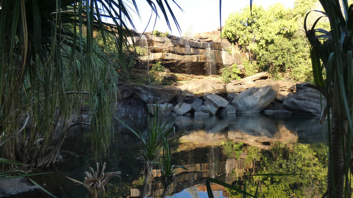
Rested. Then found the "River View Walk" - not marked on the map at the beginning of the Falls Walk, but walk across the first creek crossing and there's a junction with a sign and a map.
This is from the lookout. The shadows across the middle of the pic are where the Mitchell River flows, about 1.2 km for flying crows. The falls are to the left.
We waited for a helicopter to land but trips must have finished for the day.
There's a sandbar and a pool of water on the far side of the gorge, approximately where the helipad may be and near to where "the good view" possibly is.
Looks like the tide is in.
The Surveyor's Pool is out there somewhere.
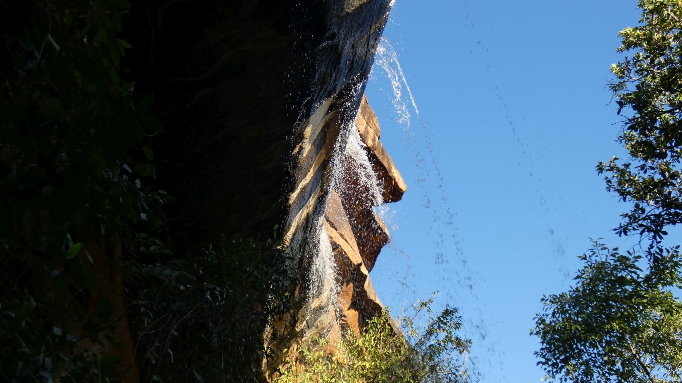
From underneath.
Perhaps because we are hot?
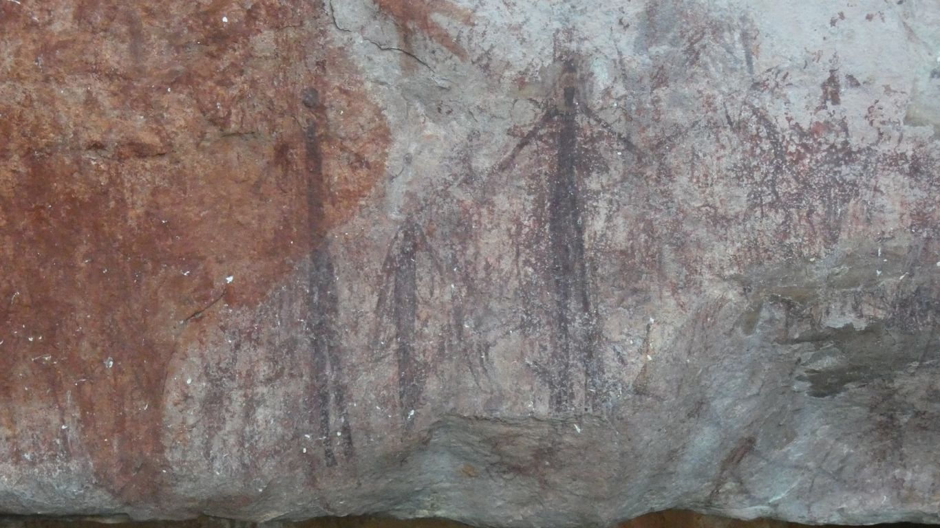
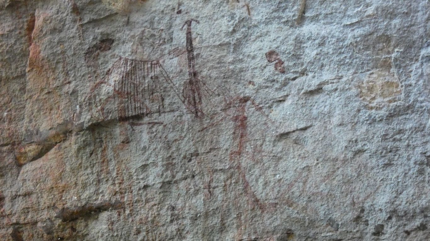
Gwion (Bradshaw) rock art. Stylised paintings of humans. Very different to petroglyphs (rock carvings) in the Pilbara.
Possibly more than 17,000 years old. Earliest works were red.
We haven't yet begun to recognise different styles as the art evolved.
This is possibly "clothes peg" style. Believed to be the youngest.
Older art work is over painted.
I expected the gallery to be hard to find. But the park maps have the site marked.
There are also hand paintings (where "paint" is sprayed over the hand like a stencil). And possibly some animals.
Wanjina (not here that I could find) are much younger. Probably less than 1,000 years.
There's a buried cable leading to the heliport operator's office. But no phone or internet for us.
Apparently there are very few tour buses and helicopter bookings tomorrow, so hopefully we'll have a nice day at the falls.