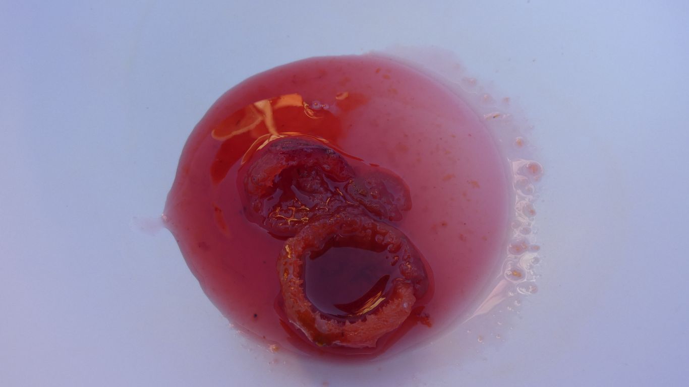
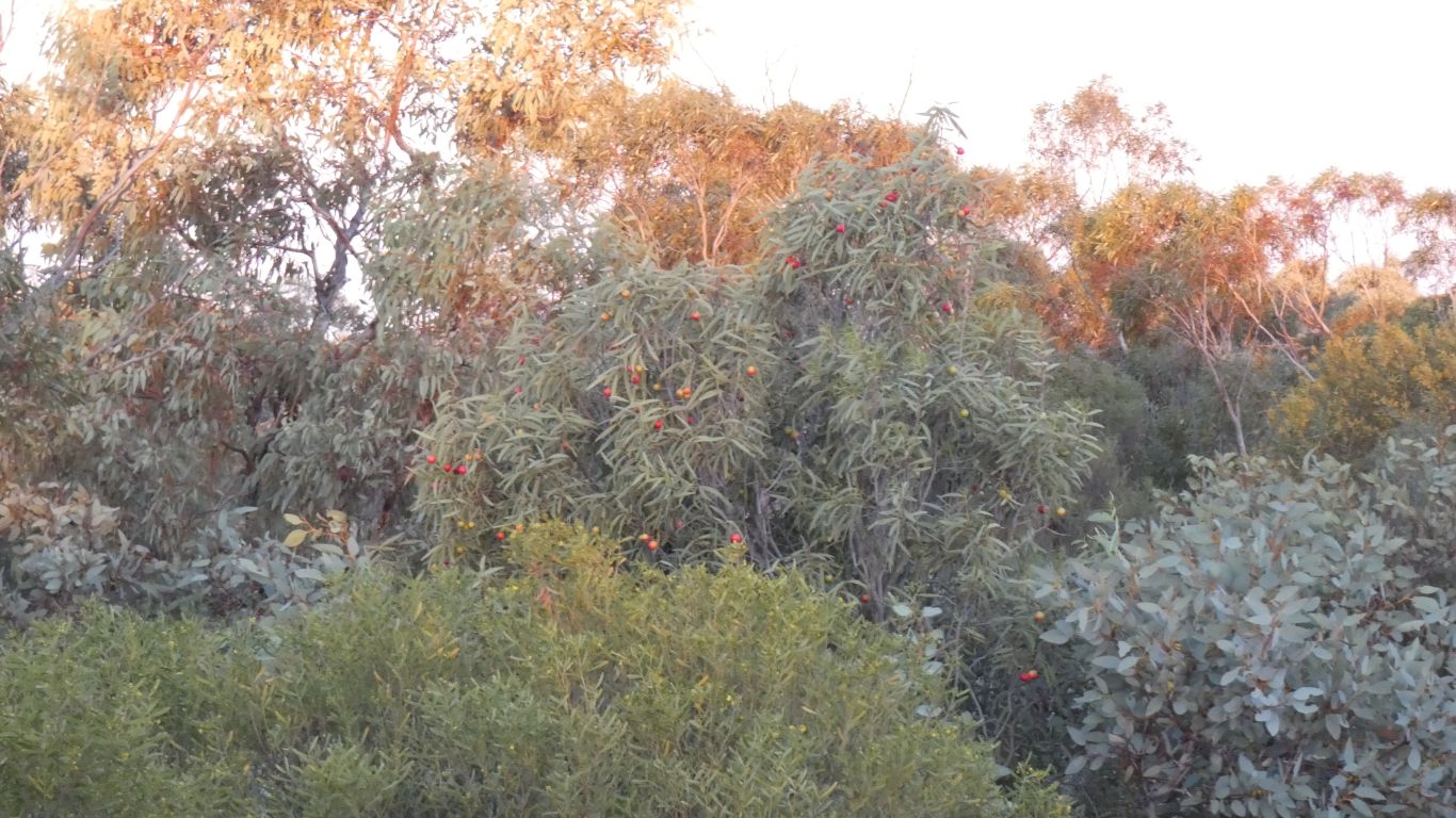
Fourteen quandongs, half a cup of sugar, a squirt of lemon juice. Bring to boil and simmer for a while.
A bit like plums!
High vitamin C, high protein.
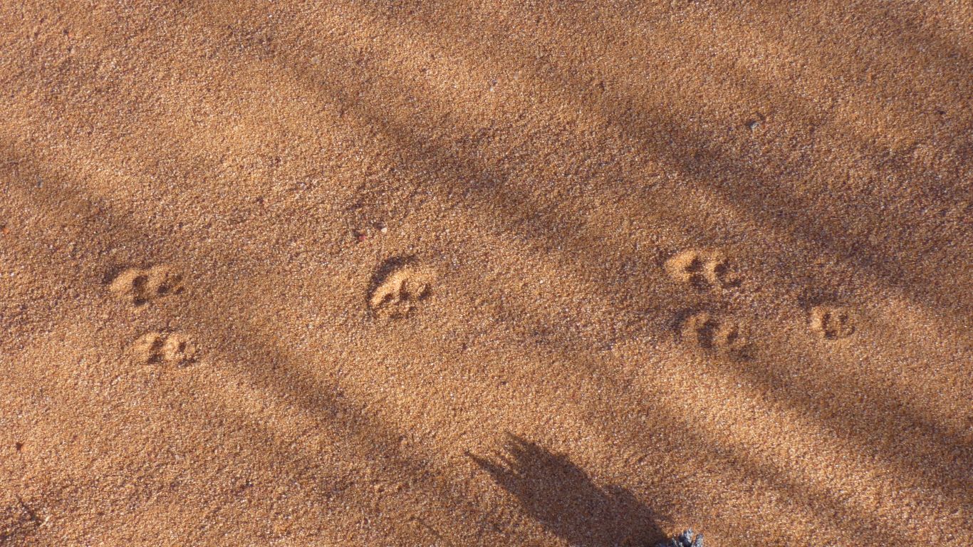
The hopping mouse almost stepped on the spider's trapdoor.
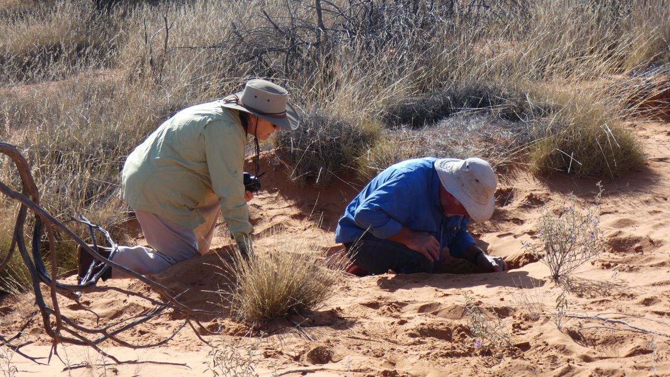
Dig a trench and look for tunnels in the sides.
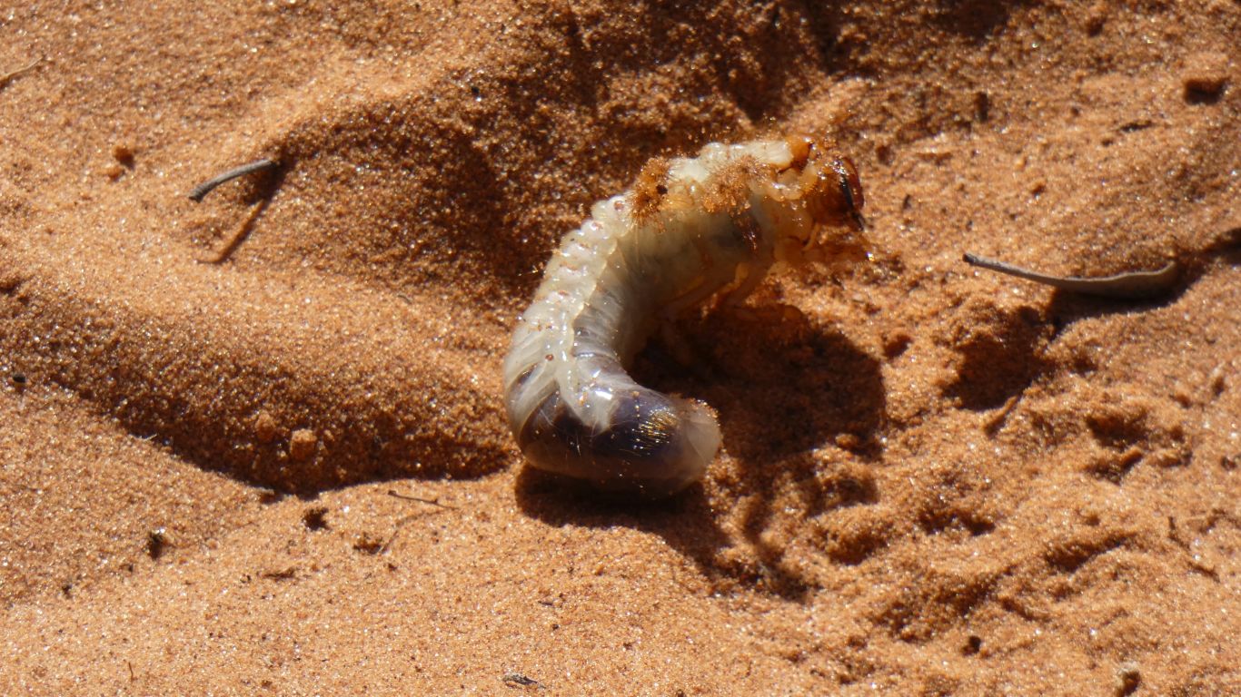
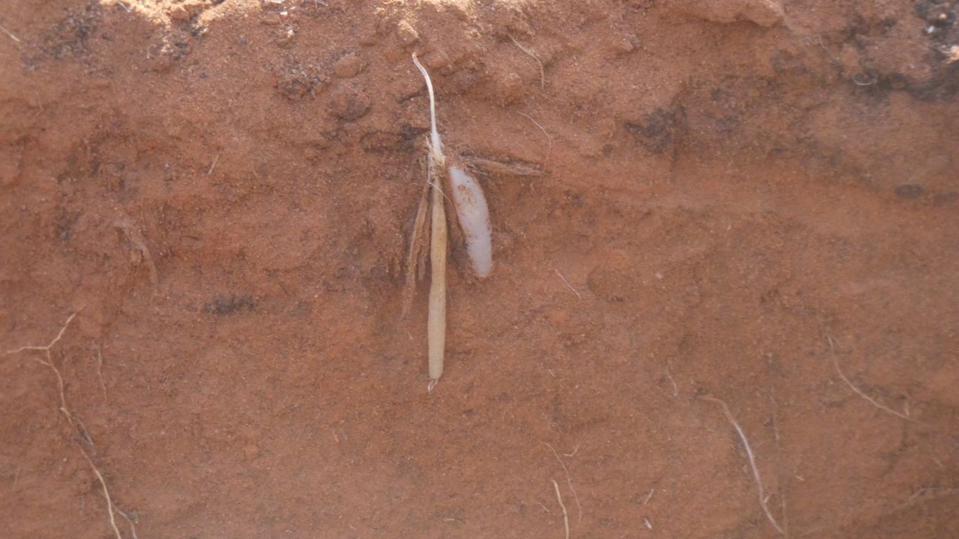
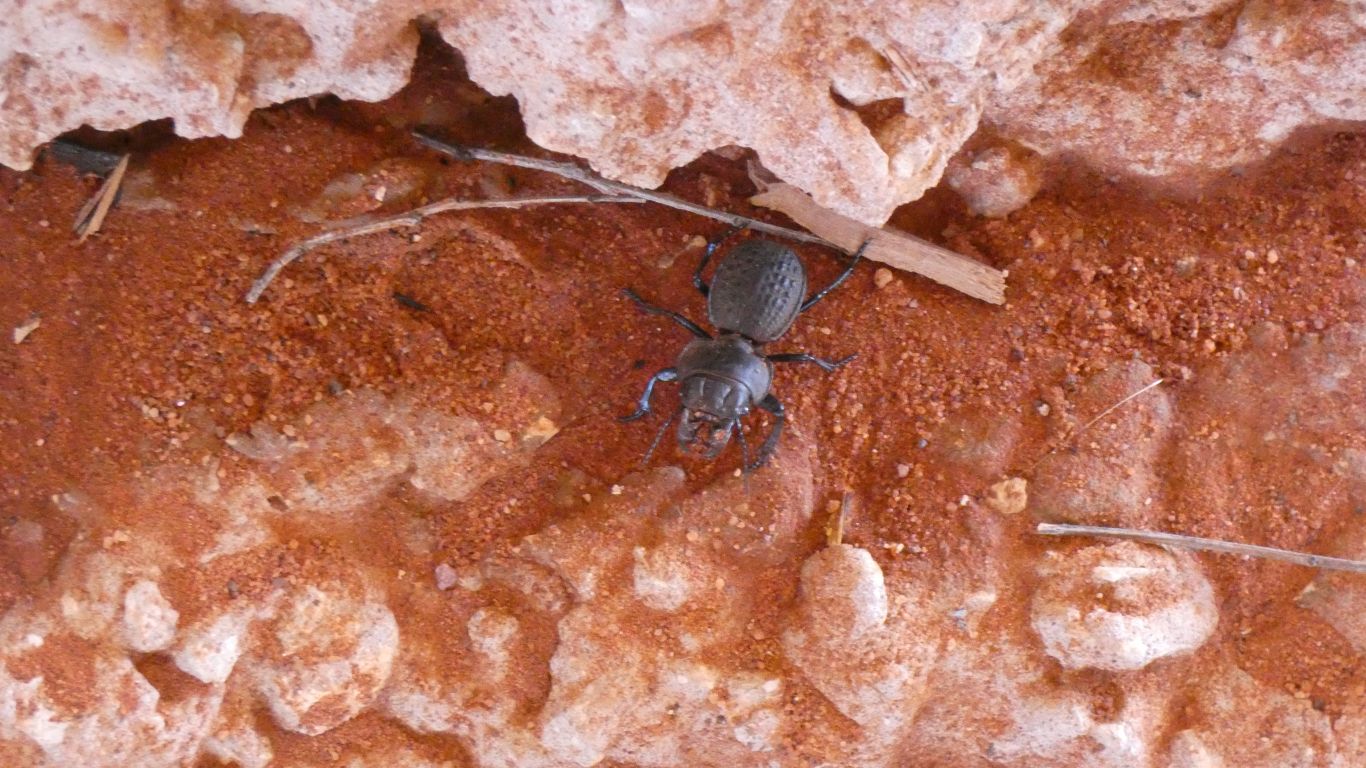
The grub stage of a beetle.
It looks like it moves in its own air space in a similar way to the mole. Perhaps some of the small mole tunnels are really bardy grub tunnels.
Perhaps the moles eat bardy grubs.
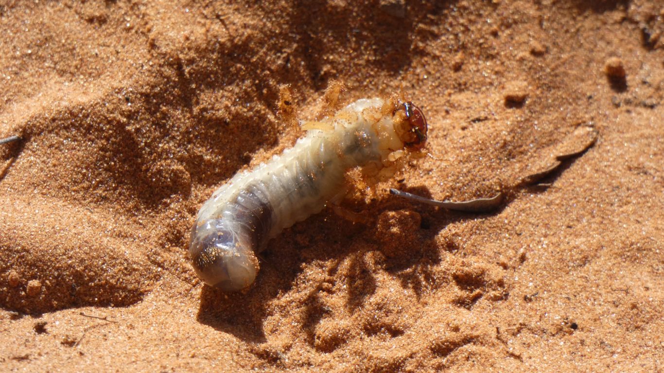
It moved into its tunnel in a cyclic motion, turning back on itself to compress sand behind it.
We idly contemplate how to mimic its sound, to attract moles. Sounds so much easier than random digging.
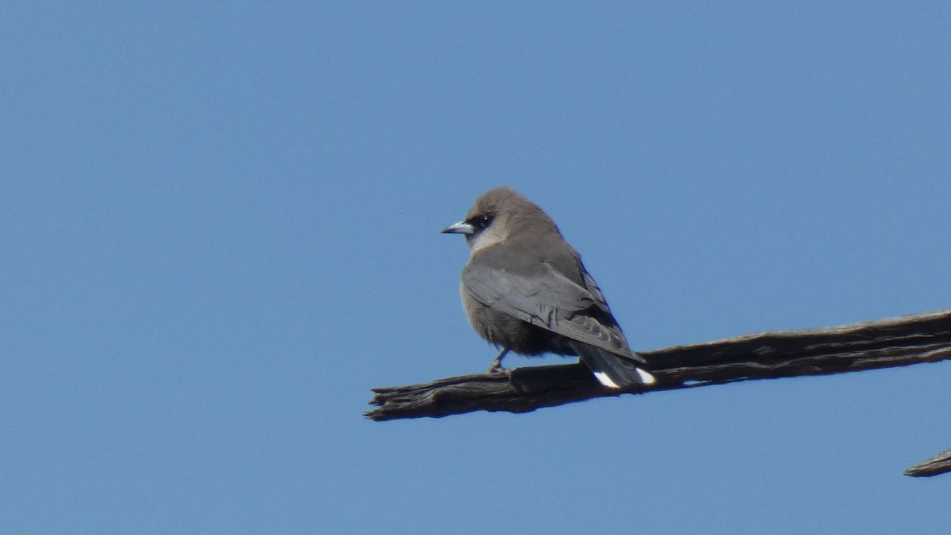
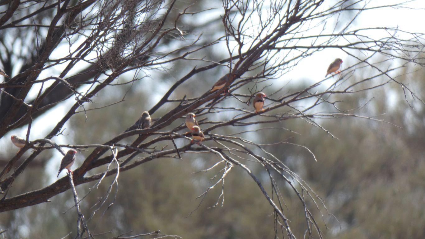
We have heard birds, but struggled to see them, let alone take a pic.
After three days in the camp we see a couple.
This is a black-faced woodswallow.
But not in the flocks we have encountered along the north of Australia.
I happened to have the camera pointing in the right direction as it landed. It stayed about 2 seconds.
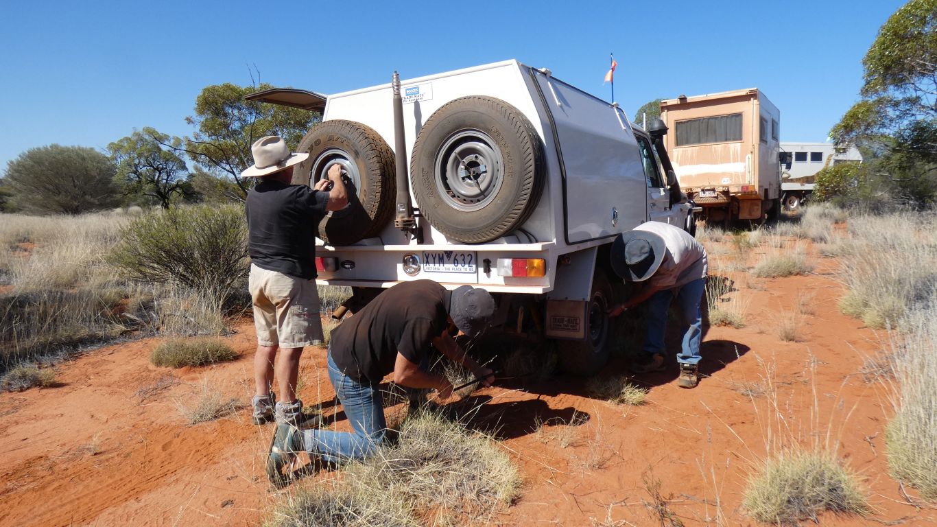
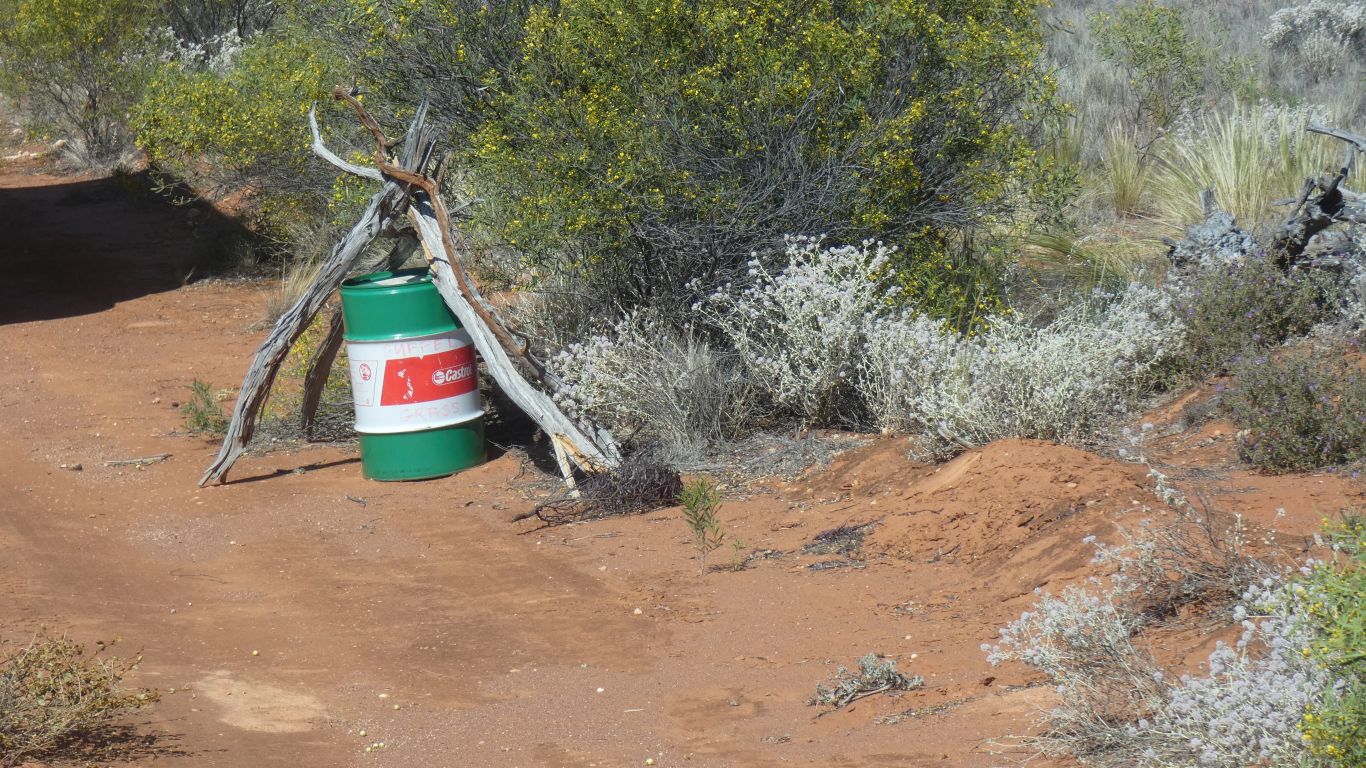
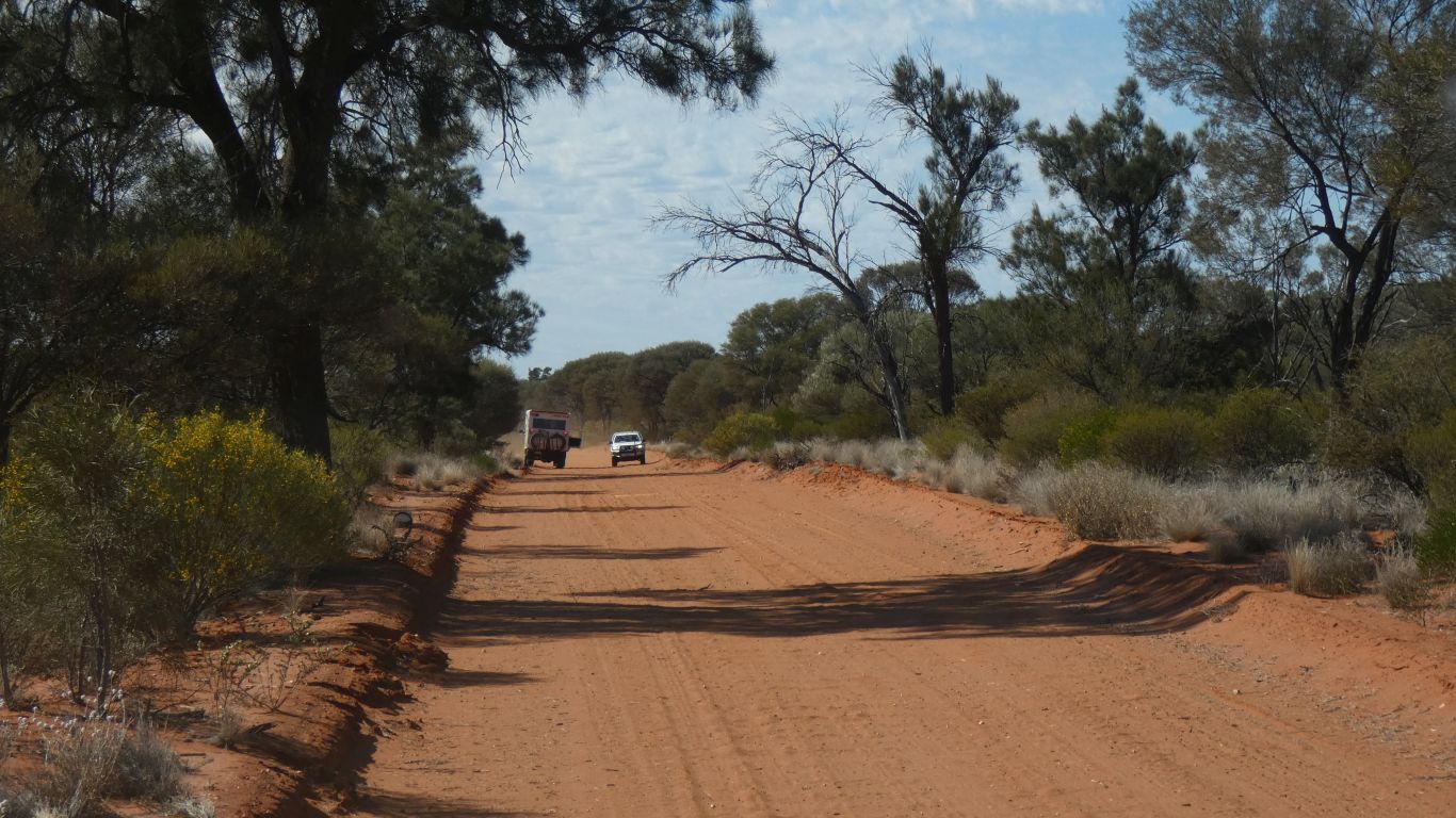
A staked tyre. We thought we were lucky to escape with only the one.
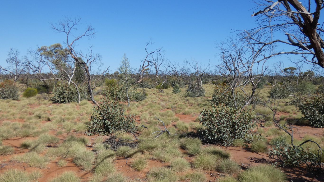
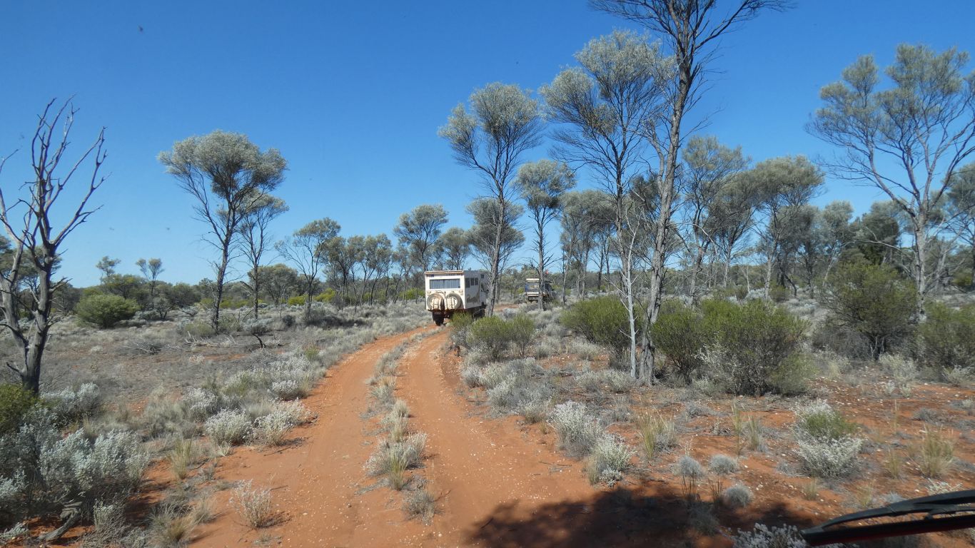
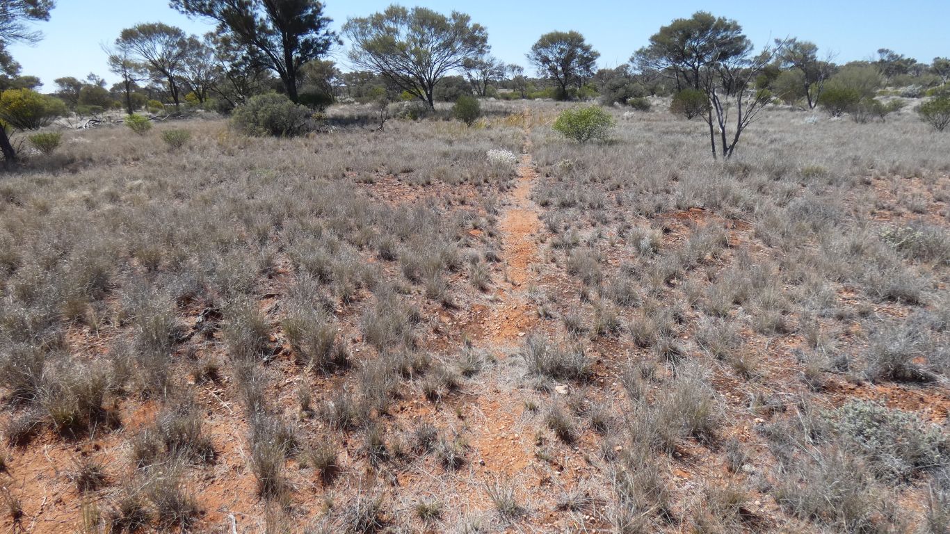
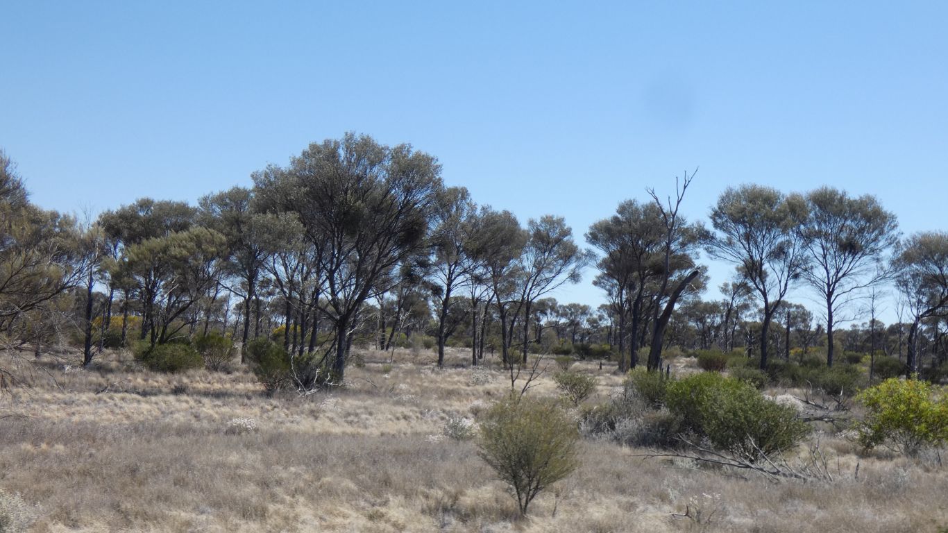
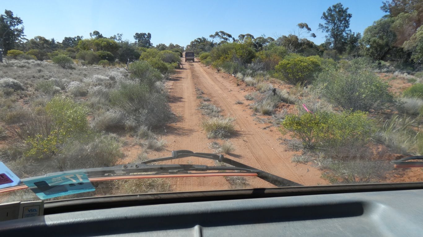
Relatively easy to find the track, even through this well burned, but well recovering, area.
Must have been a hot fire.
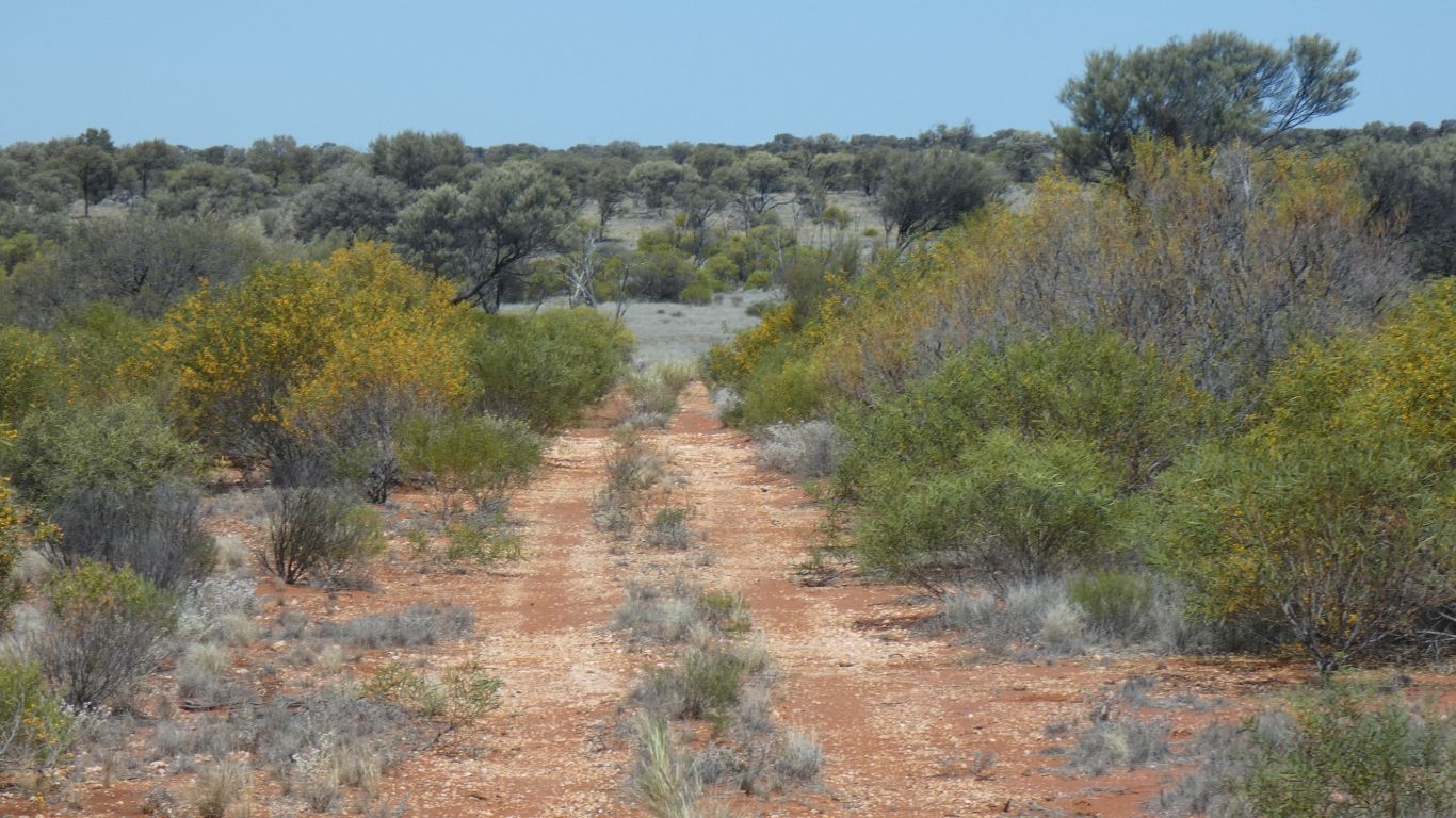
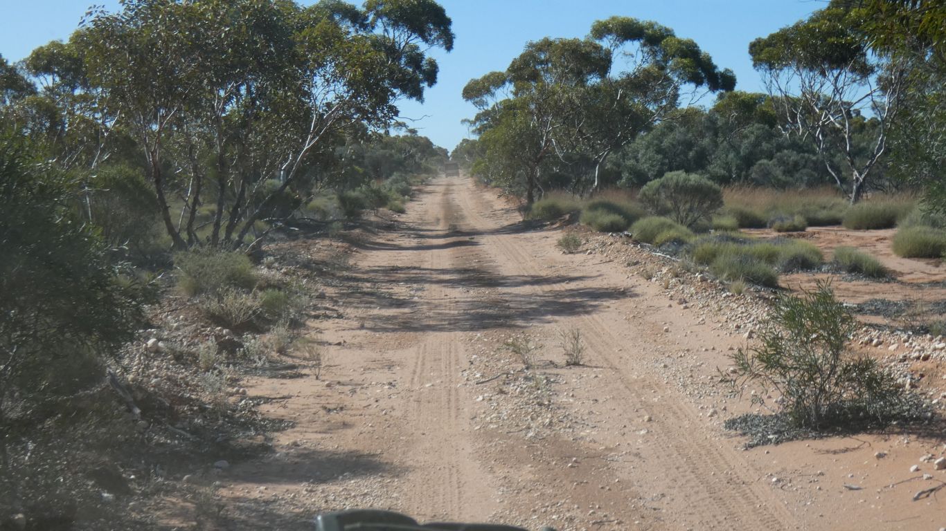
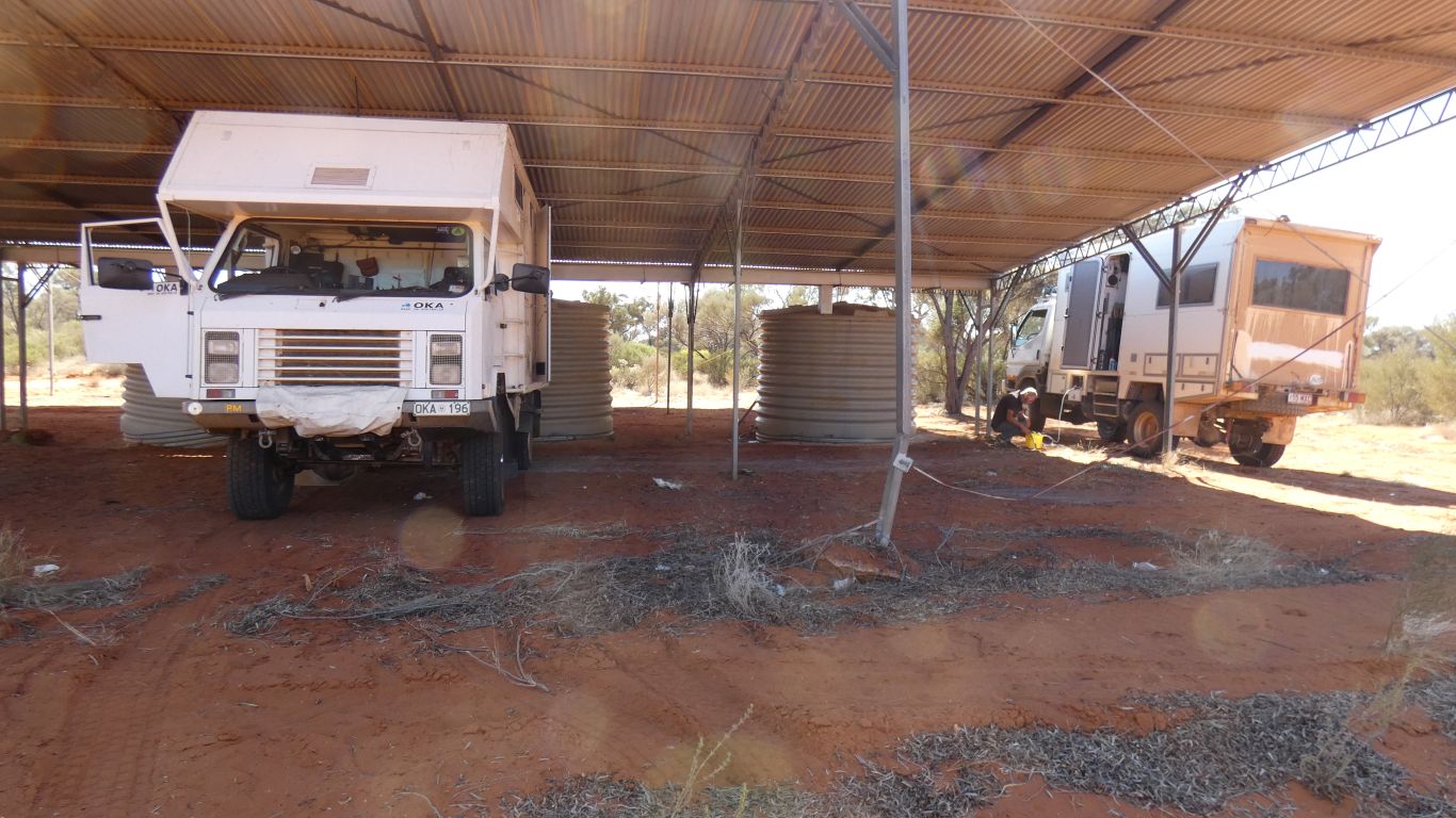
We camp next to the Rig Road south of the Aboriginal Business Road.
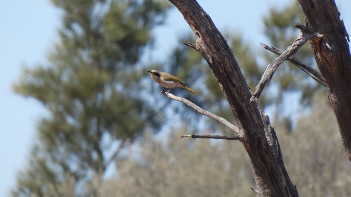
Apparently long-tailed parrots have been reported here, but we are sceptical.
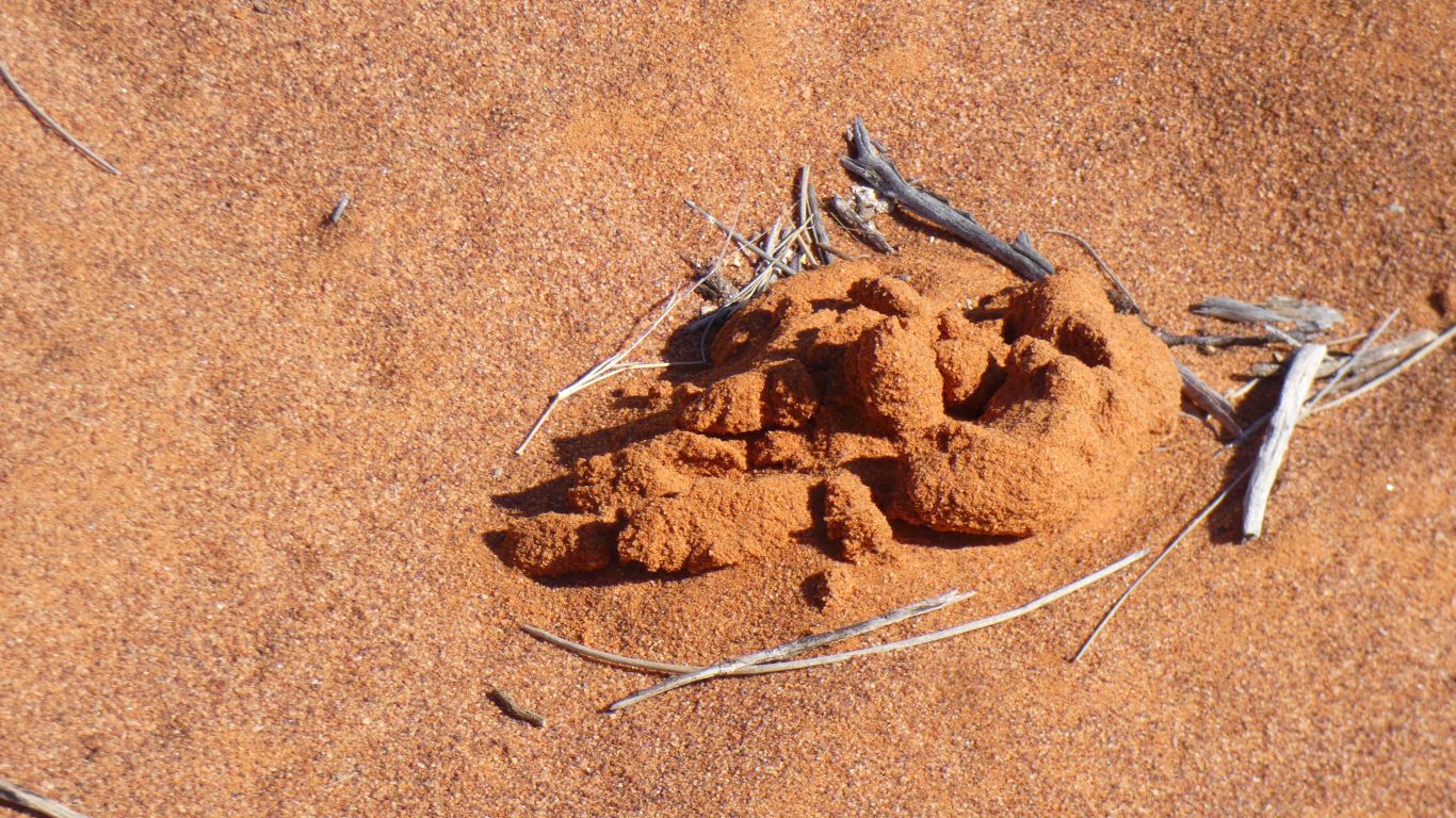
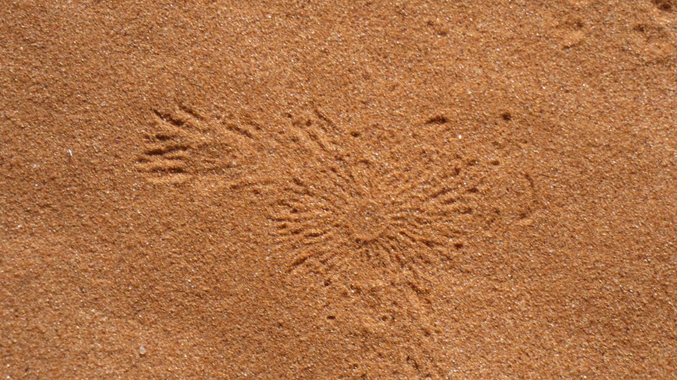
Left over from a cricket. It brings the sand out and forms the cylinders.

It metamorphoses into a lace wing dragonfly.
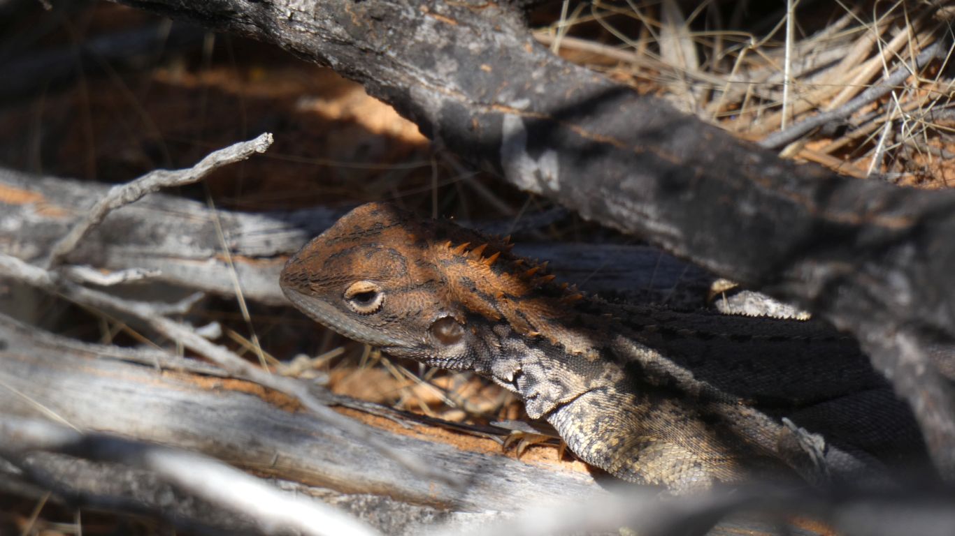
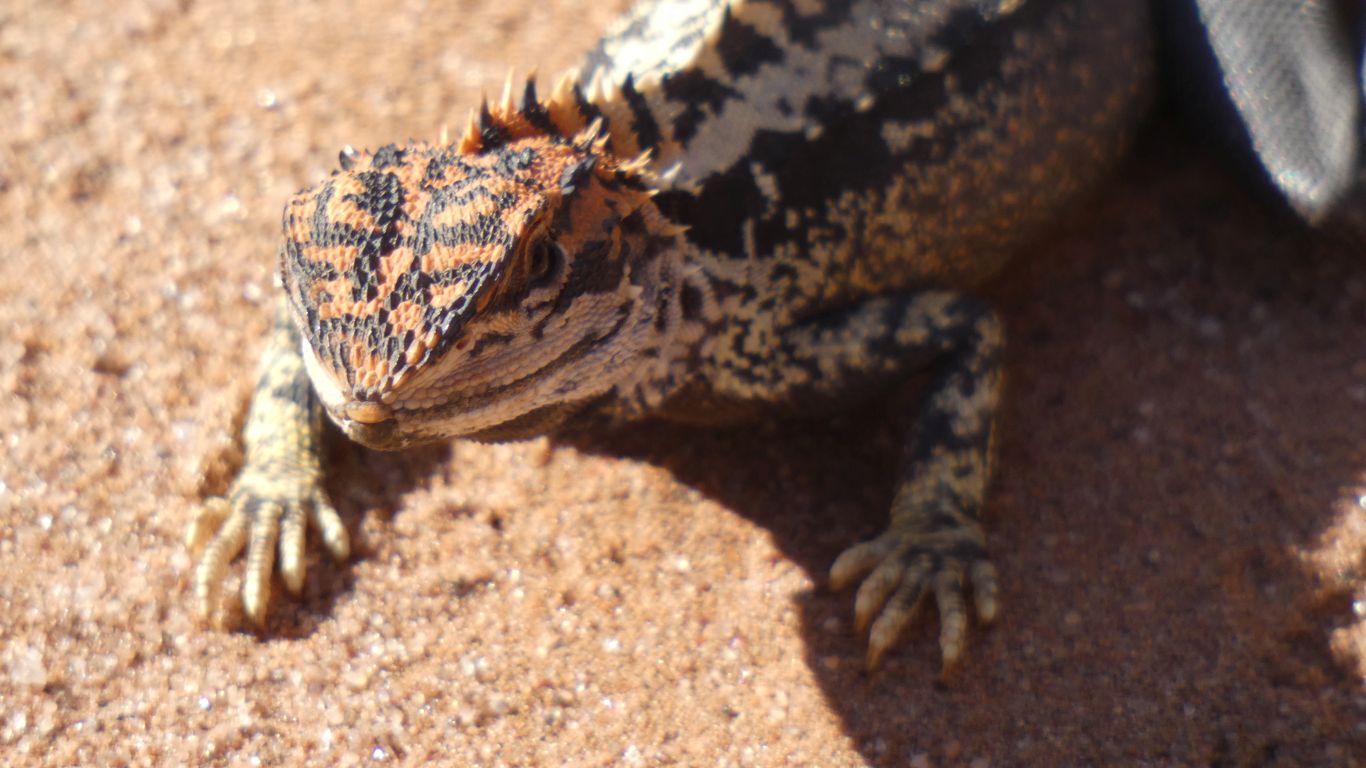
It moved very fast but I persevered and found it under a bush.
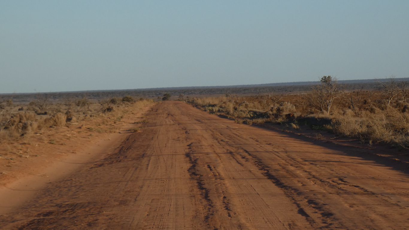
Perhaps also the boundary between the Great Victoria Desert and Nullarbor "Interim Biogeographical Regionalisation of Australia" regions.
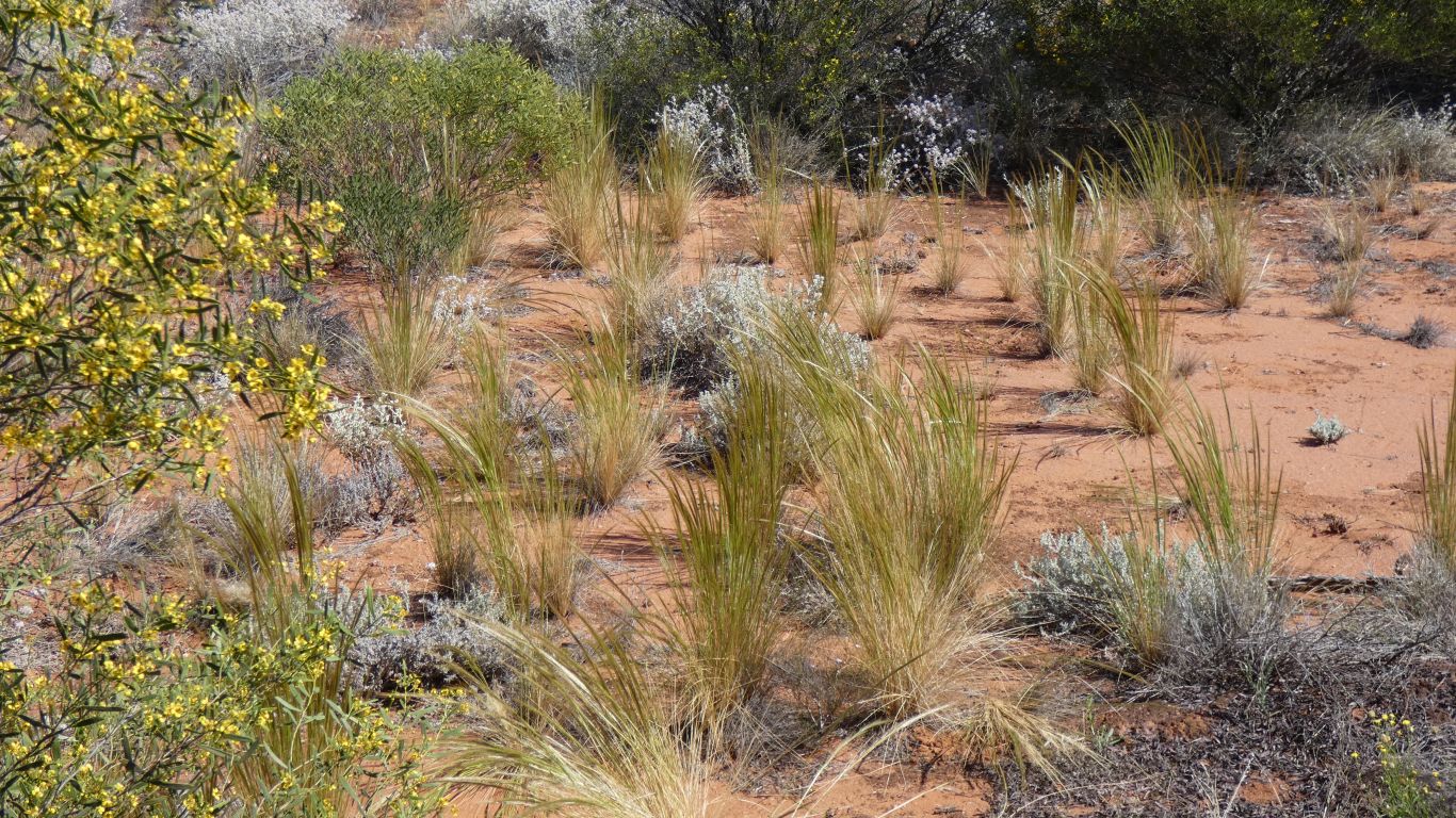
The dunes faded a km earlier.
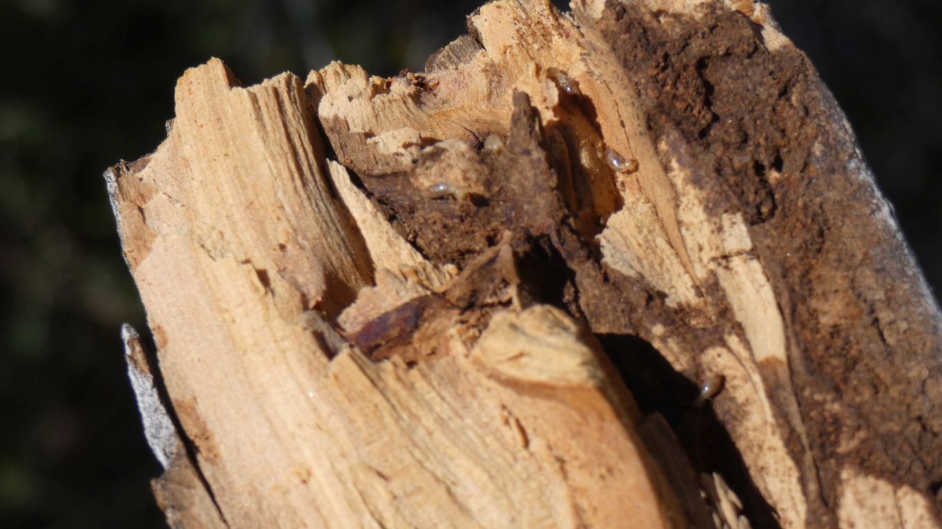
The termites reached this branch before we did.
We are seeing the northern boundary of the Nullabor Plain.
Probably leading to water. Either to east or west.
Sena.
Just that we didn't expect it.
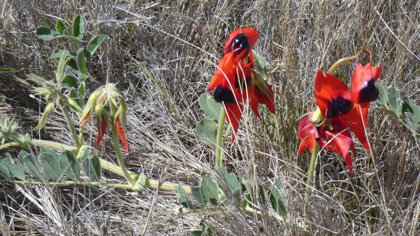
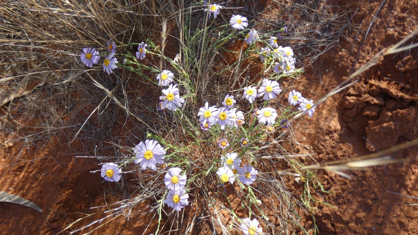
Sturt Desert Peas in the middle of the track.
The course leaves the Mamugari (Unnamed) Conservation Park and there's a north south track (between the ends of shot lines) that intersects the course.
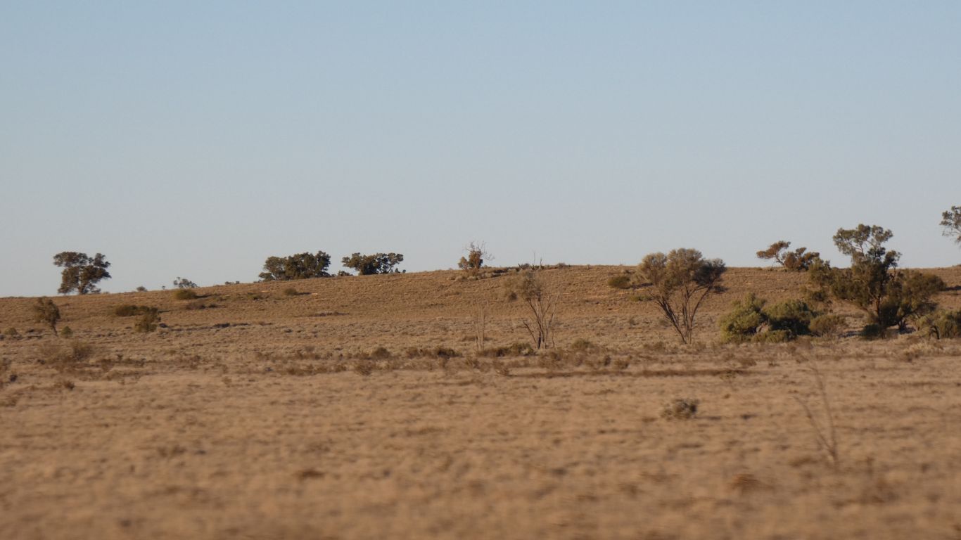
The depression is obvious even to me.
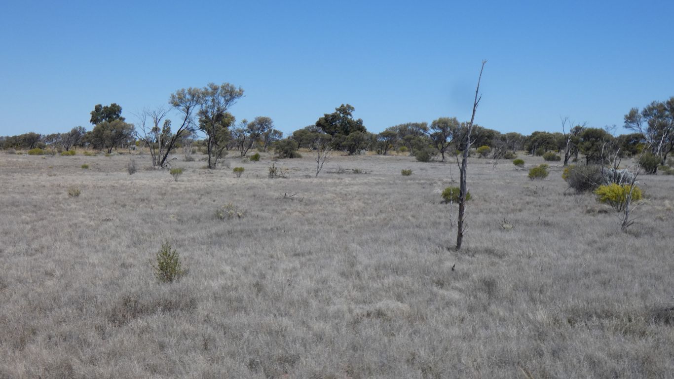
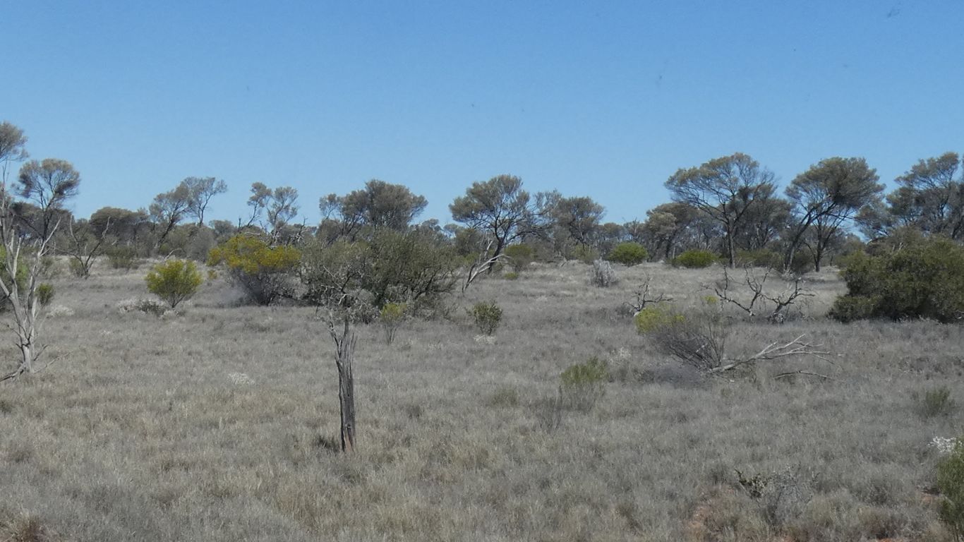
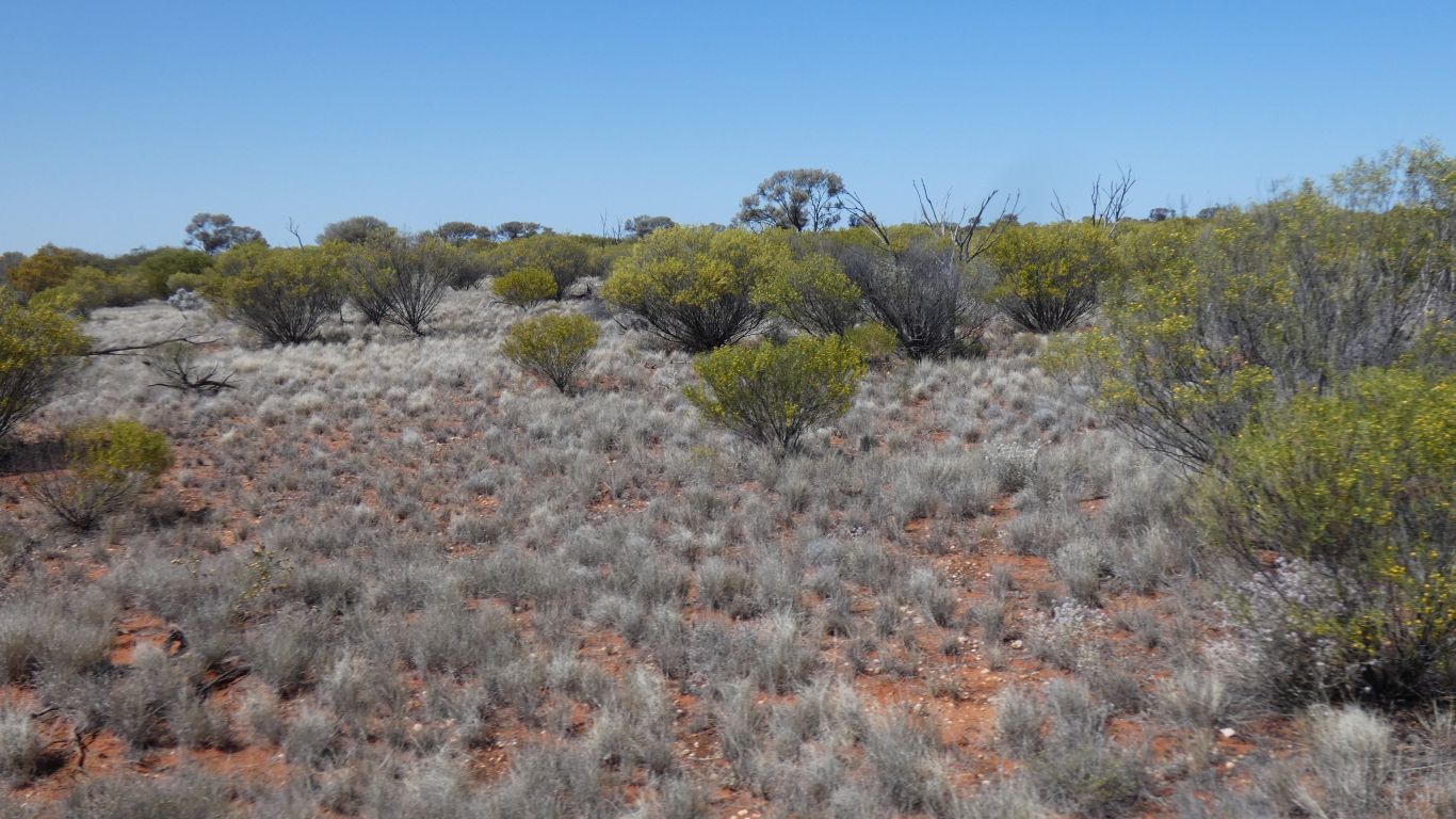
There is also an edge where the sena that grows in the bottom gives way to mulga and grass.
Vegetation in the depression is more dense.
The depression is the beginning of an old delta where water disappears.
This pic was take about 1 minute after the previous one.
South of here the land is tilted downwards to the coast at about 60m every 100 km.
North of the Aboriginal Business Road it is tilted upwards at about 120m every 100 km to the high point near the border between South Australia and Northern Territory.
Not a big difference, but rock and soil and drainage and vegetation all change.
The biogeographic regions adopted a landscape based approach to classifying the land surface, including attributes of climate, geomorphology, landform, lithology, and characteristic flora and fauna.
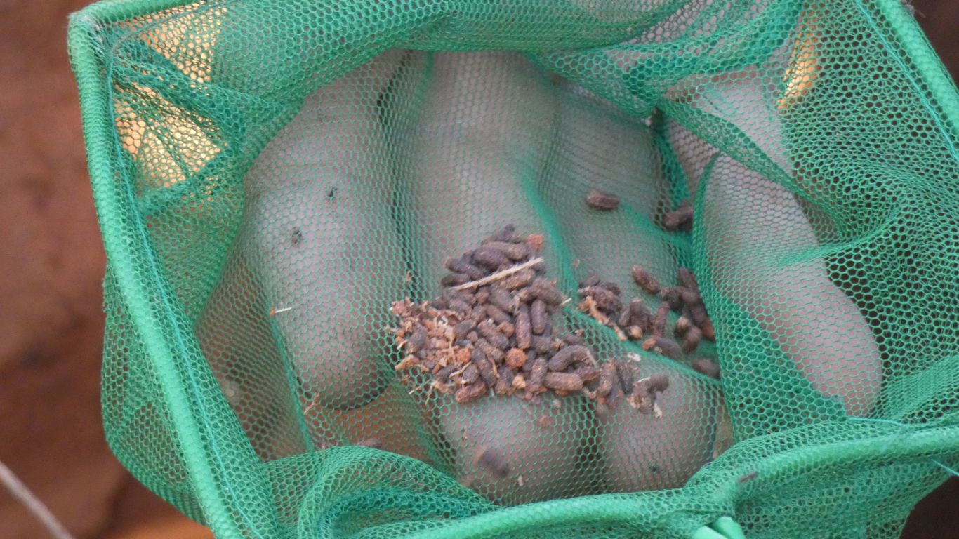
Caught this time.
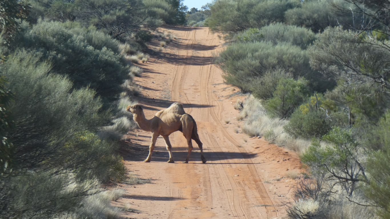
We weren't traveling fast enough to need a "camels on track" warning sign.
This one wondered across the road.
We are nearly at the end of our visit to Maralinga Tjarutja. Tomorrow we travel east via Oak Valley.
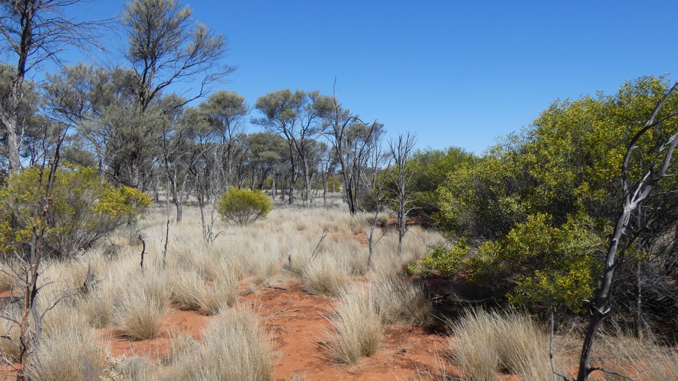
Our camp south of the Business Road is next to a couple of isolated dunes.
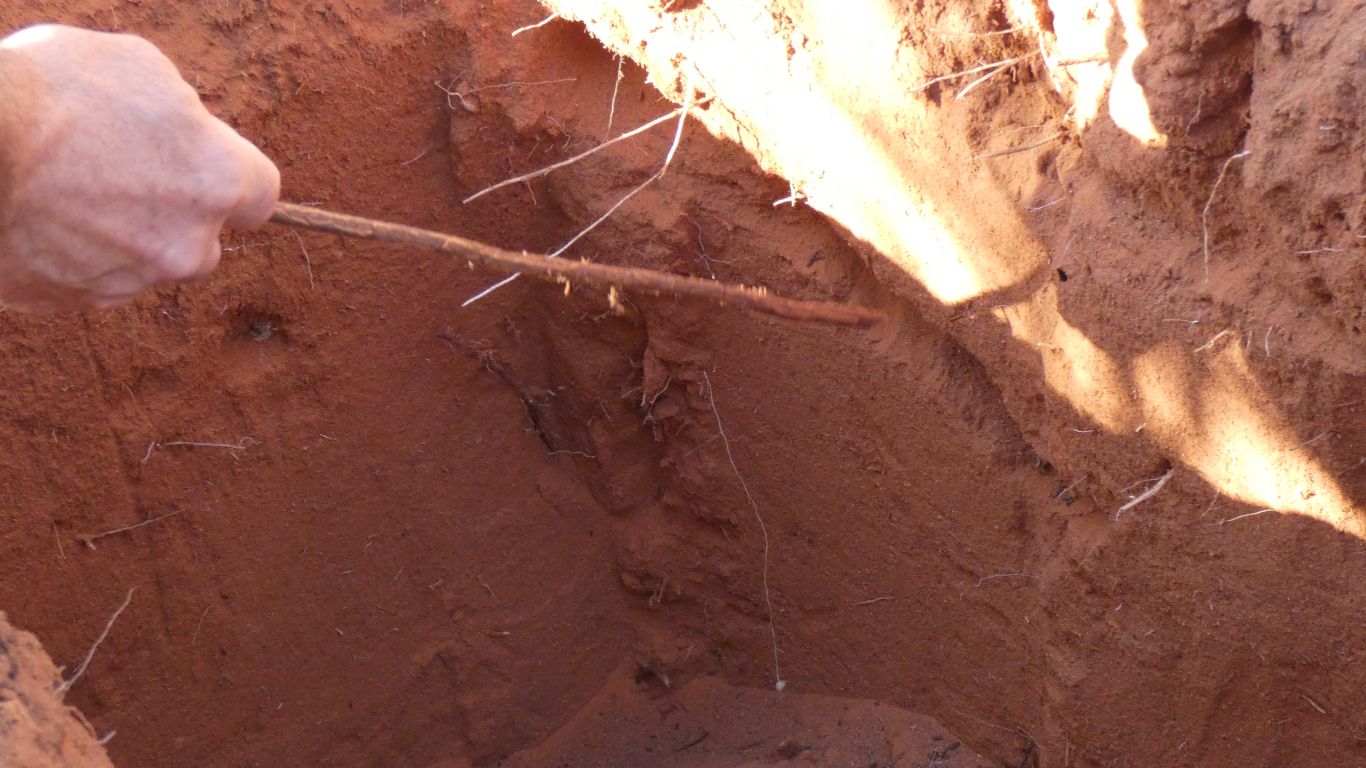
This time a horizontal tunnel near the surface.
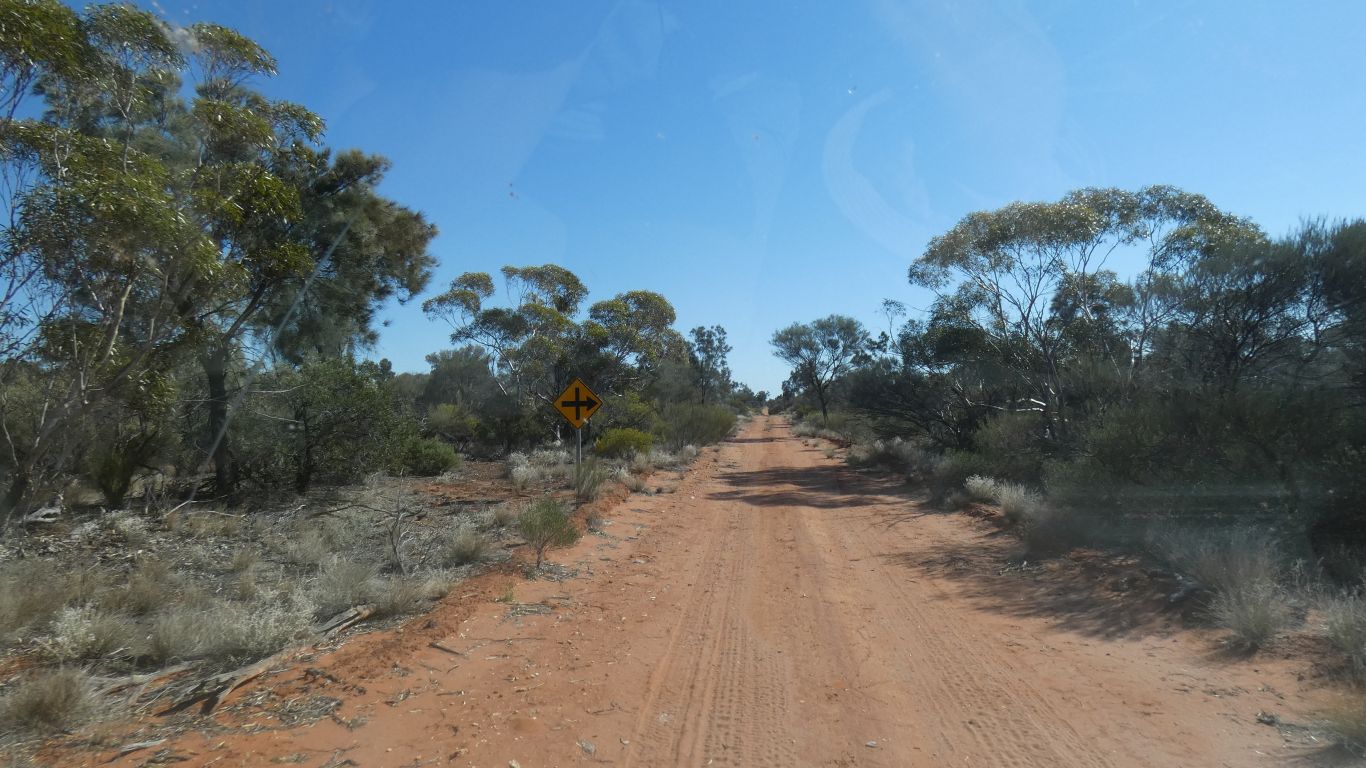
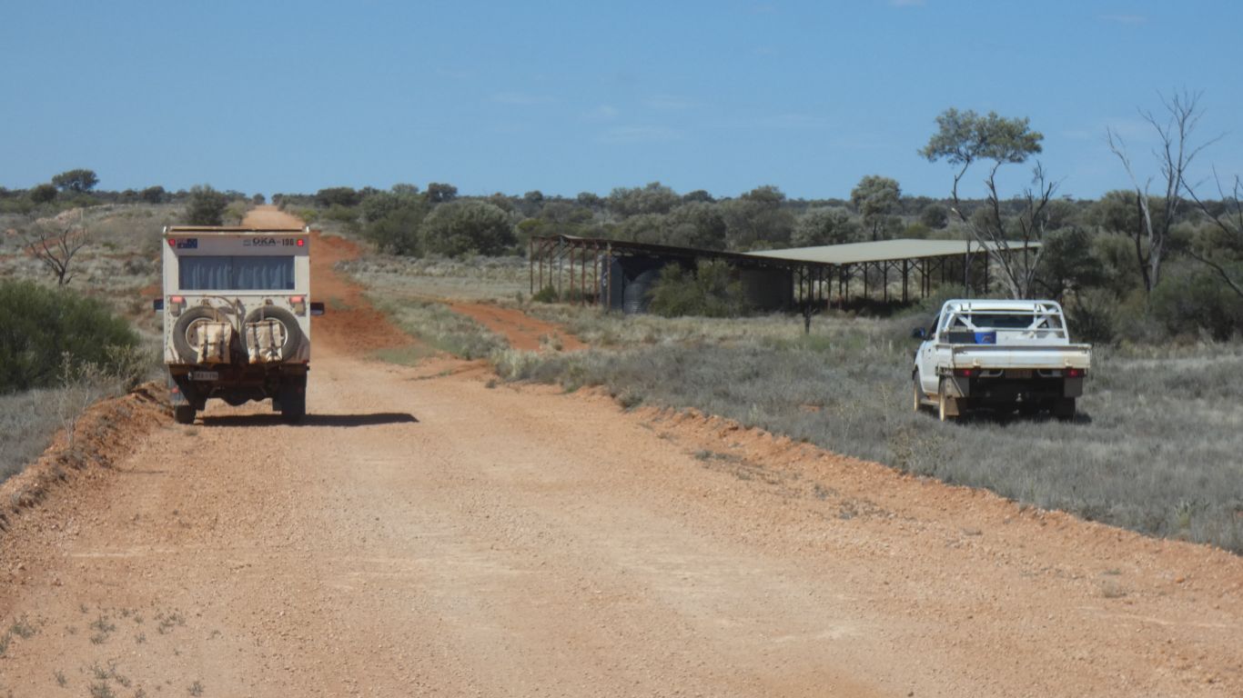
For vehicles approaching the Business Road junction from the south there is a "cross-roads" sign. At least our track is recognised by a road authority bureaucrat anticipating traffic from the south.
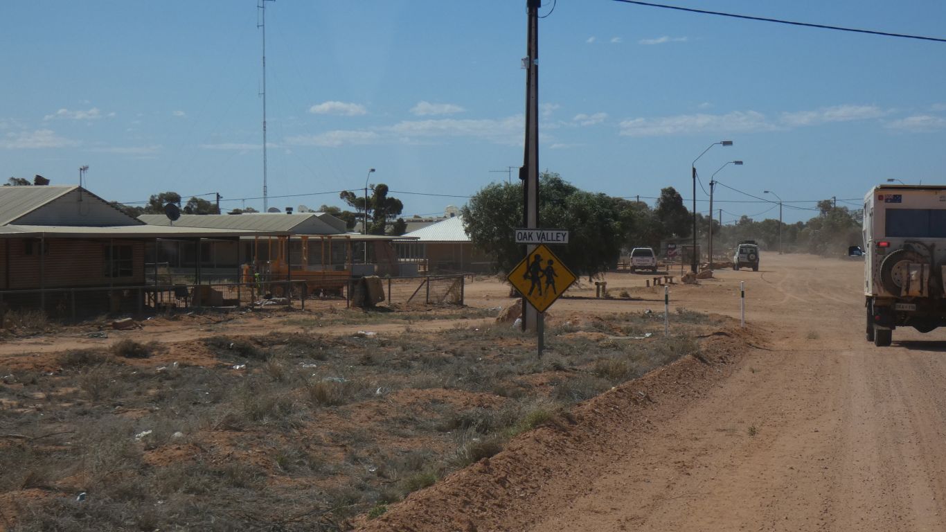
Unfortunately most in the community are at a funeral in Yalata.
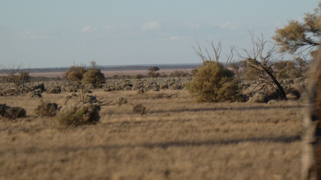
We are more comfortable with the landscape south west of Lake Maurice than when we passed it last week.
No camels around here!