| |
|
|
| Cape York and Somerset |
 |
June 13 2019 |
| |
|
|
 |
|
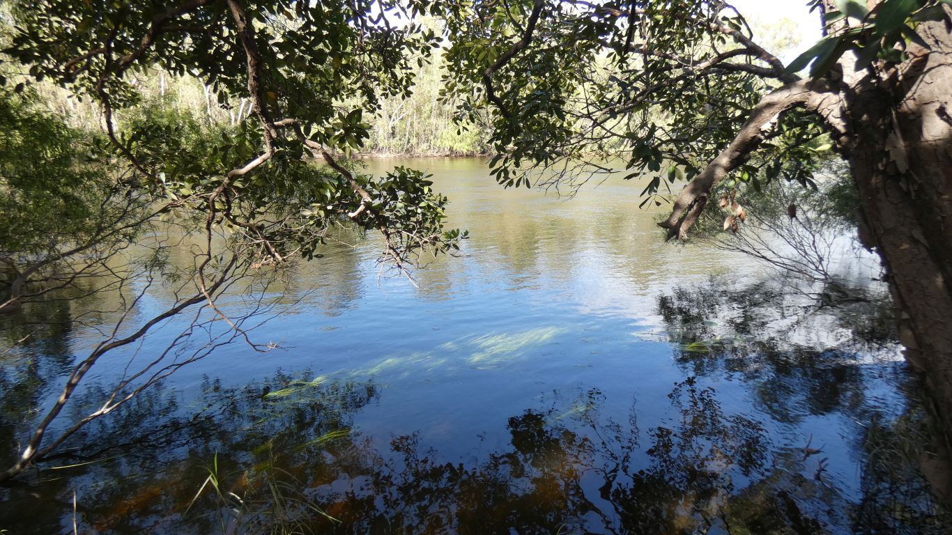
A last look at the Jardine River and we are on our way to
the tip of Cape York. There is a little amusement from our seemingly
frequent camping near tips in Asia. Drive up a miscellaneous track and
discover the local tip.
The tip of Cape York is the northern most point in continental Australia. |
| | | |
 |
|
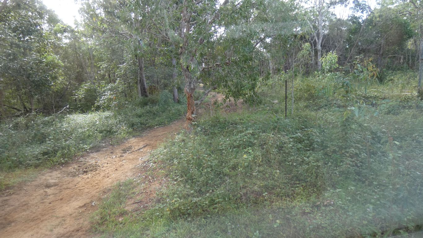
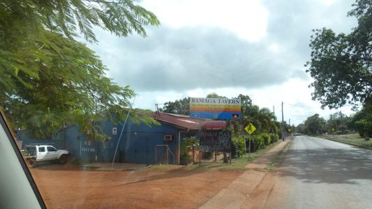
A quick stop in Bamaga for a bit of food, fuel, post
office, and dump point. Whoever said on Wikicamps its difficult to find is
correct. But how silly is that. We know its behind Cape York Traders. Its
beneath the paper bark about 3m from a corner of the fence. The rear right
corner when facing their frontage. Just a sewage stand pipe, with a screw
lid.
We made the mistake of trying to use the car park for the supermarket. We
succeeded but there's only one way in/out and its a bit tight. In retrospect
there's better parking on the other side of the road. |
| | | |
 |
|
We were a little surprised to see the Bamaga Tavern.
Alcohol has all sorts of restrictions. No doubt the tavern has many. |
| | | |
 |
|
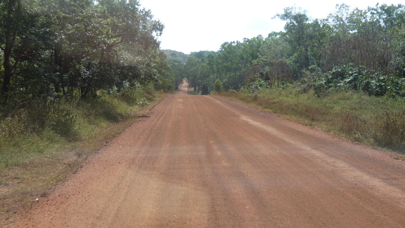
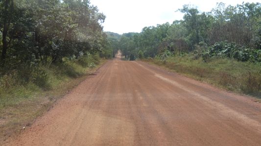
North to Pajinka (Cape York). Along Pajinka Road. |
| | | |
 |
|
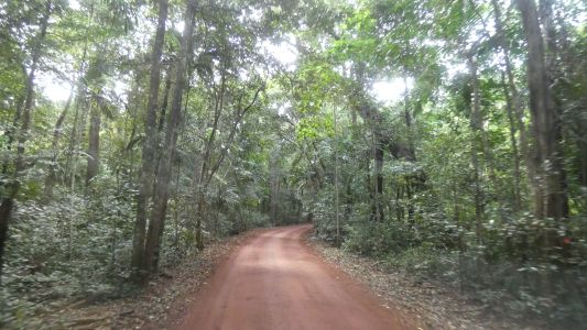
Which further north went through some rain forest. |
| | | |
 |
|
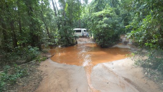
The bus had conveniently blocked the easy way to the right.
Just as well perhaps as the corner to get back was very tight - on the way
out we had to shunt to avoid trees. Passengers were lined up to take their
pics of us. The reason for the short by-pass is a couple of deep holes. The
water churned up and muddy from all the traffic. I guess it added to their
excitement. |
| | | |
 |
|
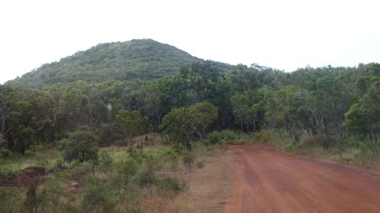
Mt Bremer. Probably the last visible artefact of the Great
Dividing Range. Just a bit more than a km to the tip. The maps show the
Great Dividing Range south of Bamaga curling west. But I can't imagine this
is simply an isolated hill. We can't find a track to the top.
Nor do we see a track north of it heading east to Evans Bay. |
| | | |
 |
|
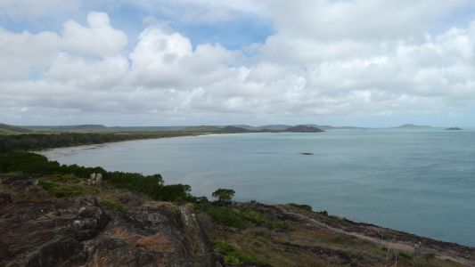
All the usual "don't do this" and "don't do that" signs.
Without really knowing we saw the wear and tear on rock from lots of people
so followed a path to a high point. And looked west. Beyond this beach is
Punsand Bay. |
| | | |
 |
|
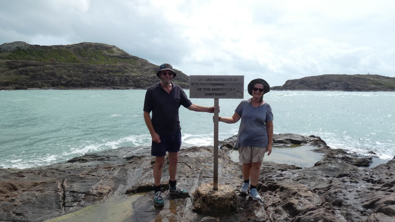
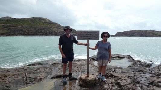
The sign says "You Are Standing at the most Northerly Point
of the Australian Continent". York (Wamilug) Island behind to the left and
Eborac Island with a lighthouse. A nice flow of water between us and the
islands from the tide.
Its not far from here to Papua New Guinea. The Torres Strait, with
islands, and islanders. About 140km for crows. |
| | | |
 |
|
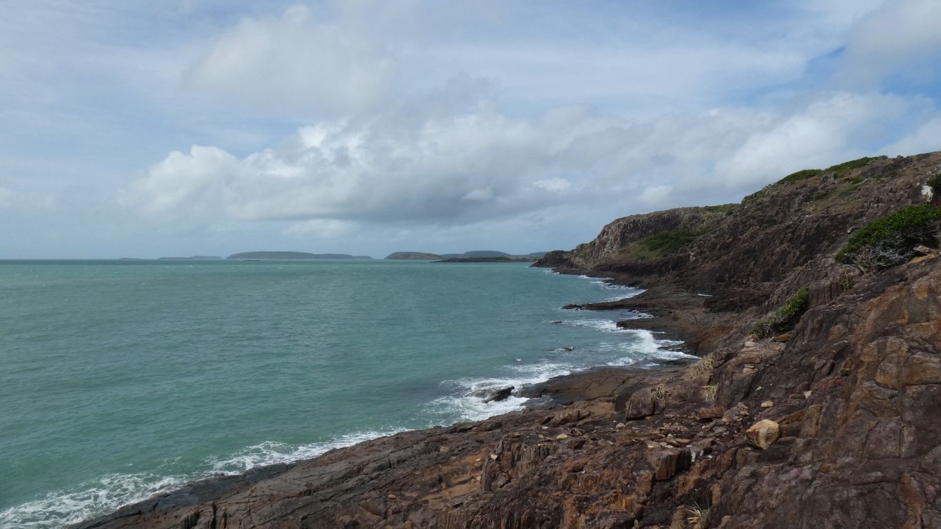
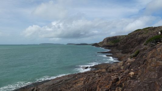
Looking south along the east side of the Cape. Evans Bay
hidden from us. Somerset also just around the corner in the distance. |
| | | |
 |
|
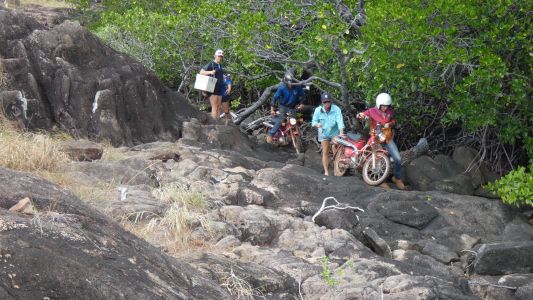
I guess one has to do what one has to do. The sign says "no
vehicles on the beach", but then this isn't the beach. The other sign says
"no mountain bikes, ATVs, or dirt bikes", but these are Post Office
Motorbikes. We don't know where they came from, but they got here, and are
having lots of fun. |
| | | |
 |
|
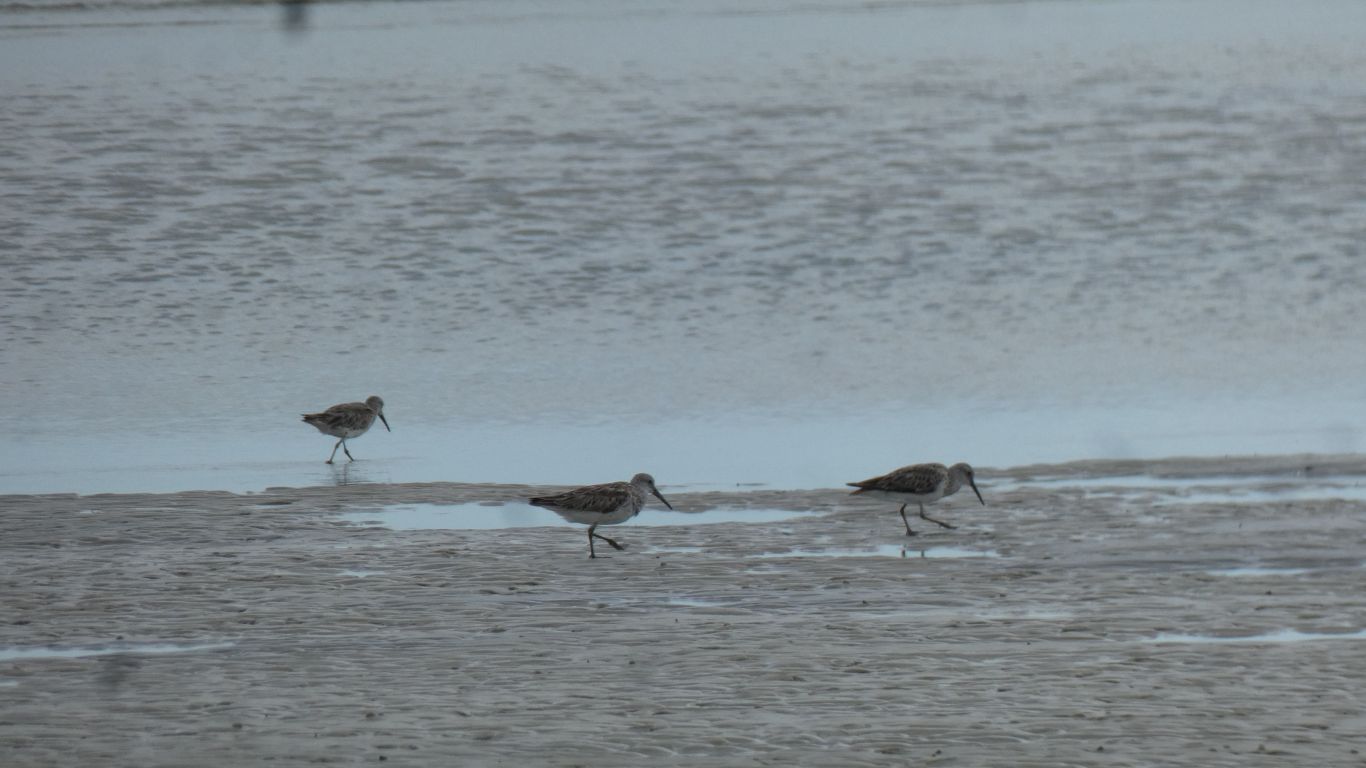
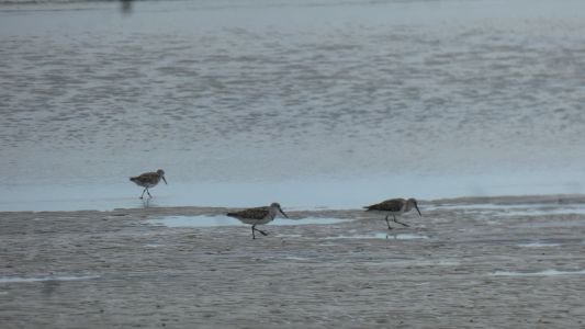
There was a party walking along the beach when we arrived.
We didn't get to ask where they'd walked from. The birds wouldn't tell us. |
| | | |
 |
|
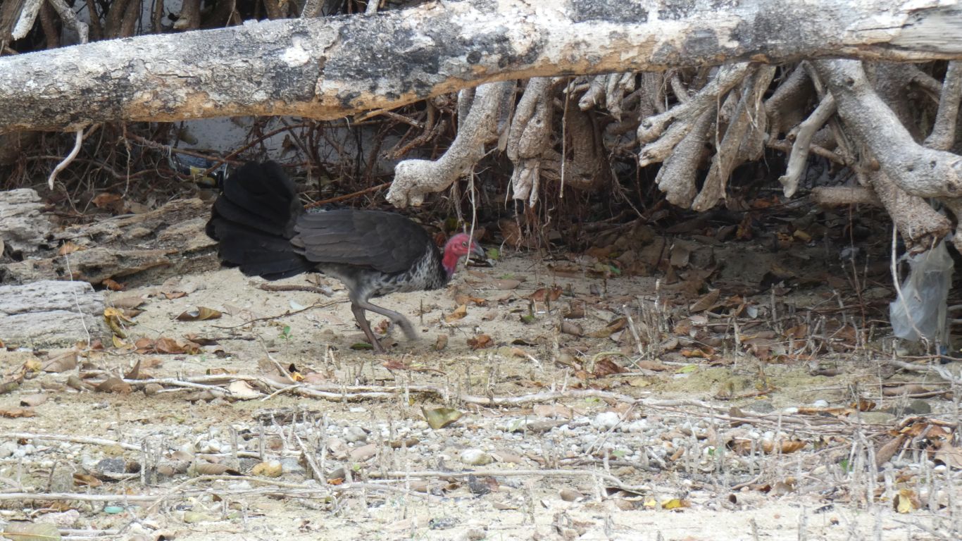
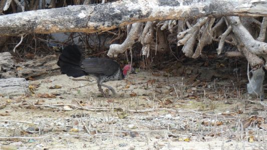
Nor would the brush turkey. They are just a little
different here to home. |
| | | |
 |
|
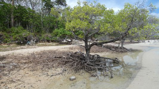
This mangrove is a mere shadow of those at Archer Point.
None of the roller coaster loops, and smaller leaves. Different sort of
mangrove. |
| | | |
 |
|
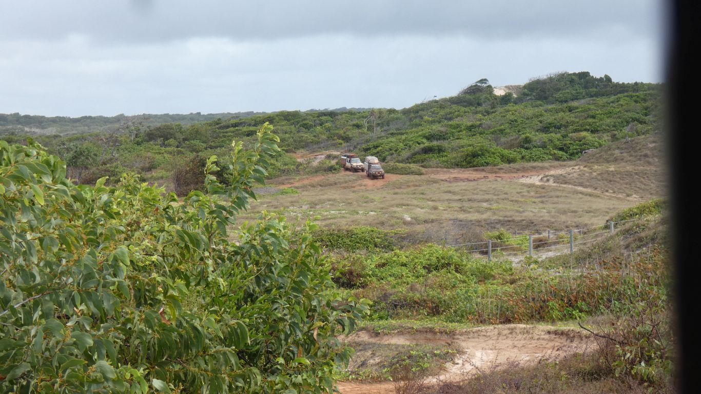
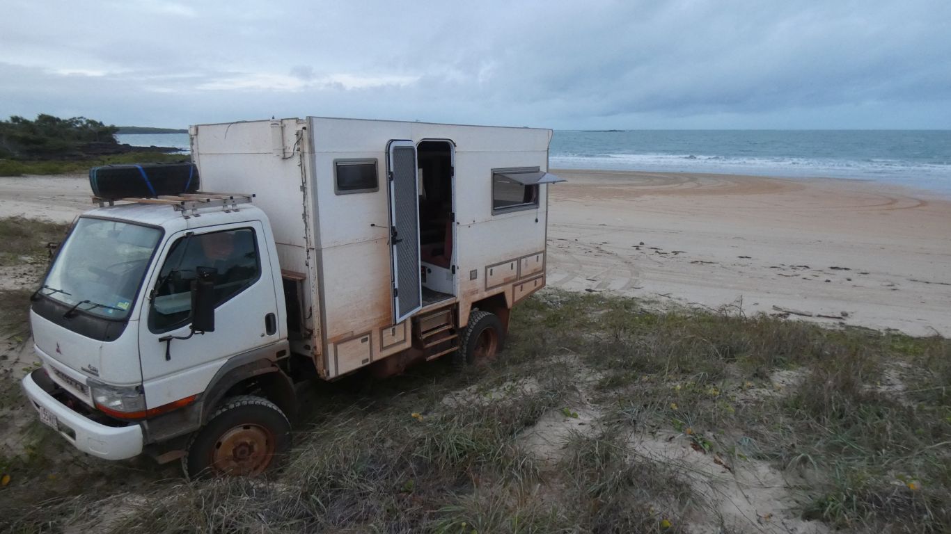
We head to Somerset. The road is good, just road, despite
the map description of "medium". We look for campsite, a little tired. We'll
do the sight seeing bit on the way out. |
| | | |
 |
|
I parked and walked down. I asked the wrong person about
the track after the beach. Rough, but little else, while accompanied with
noise about having to know what I was doing. Second person I asked was
coming the other way. A good description, I mentioned we were in the truck,
when he saw it parked he came back with advice about the vegetation after
the third beach, which closed over the track and was scraping on his roof
top boat.
A pity as the track south is a loop. Some of it on Nanthau Beach. No
doubt we'll look at the other end when we leave. |
| | | |
 |
|
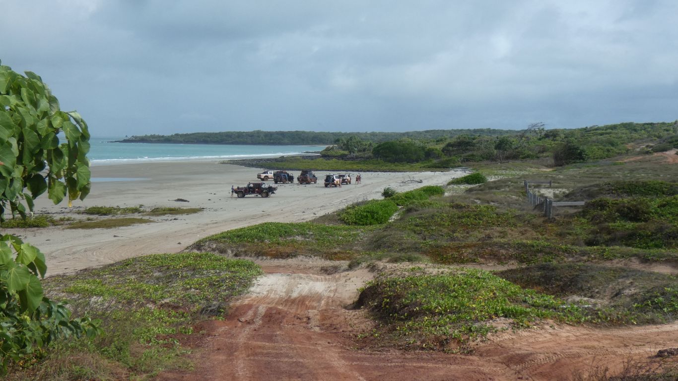
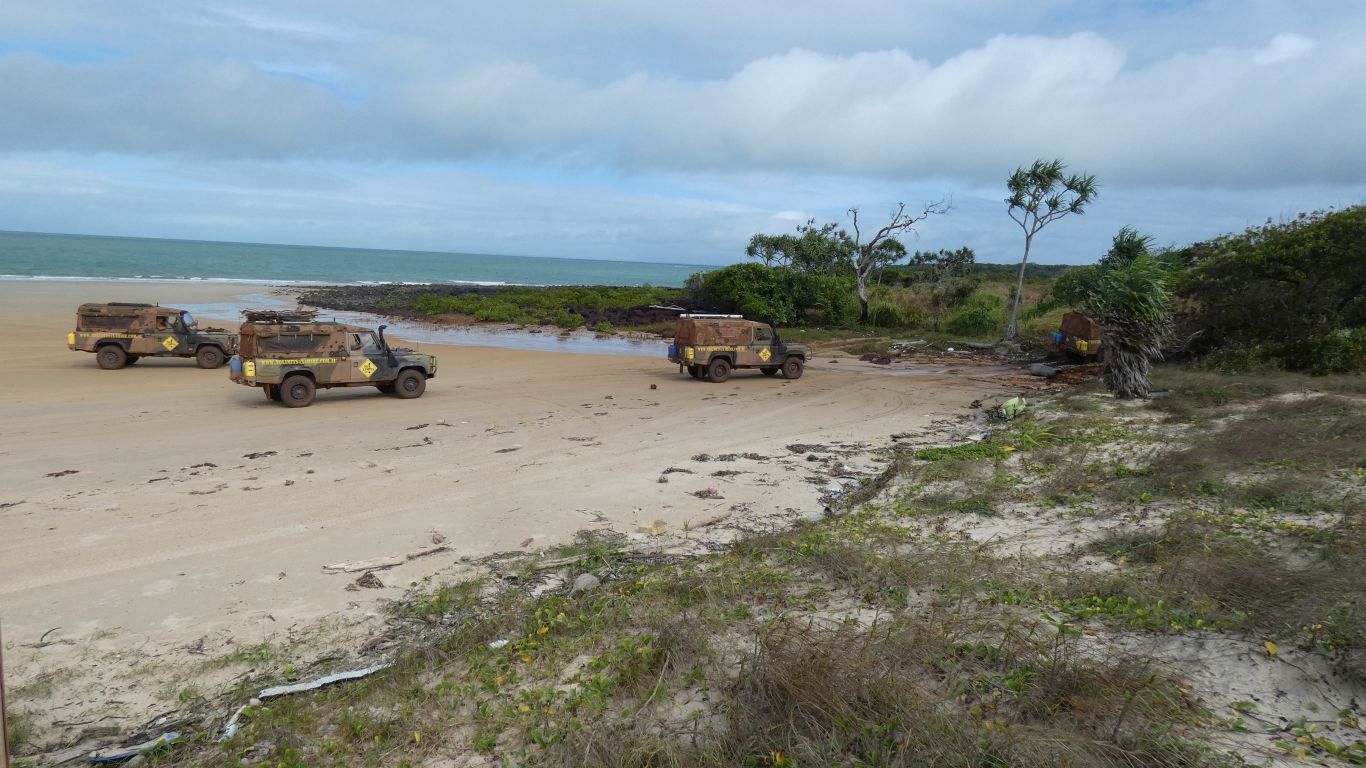
We stopped on the second beach. The tide wasn't quite out
far enough to drive round the rocks, the sandy track was relatively easy.
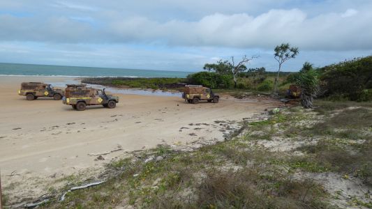
This is the departure from the second beach. A convoy of go anywhere hire
4wds. We thought about giving marks out of ten, the exit is very rough with
"moon rocks". On closer examination we saw the easier track about 10m to the
left. Only one 4wd has 10/10 for taking the easy track. |
| | | |
 |
|
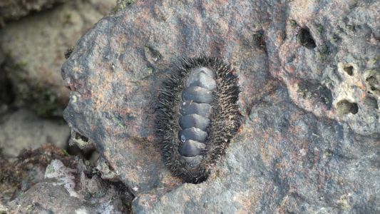
Lots of oysters. And a few chitons. The rocks are very
broken, and sharp. |
| | | |
 |
|
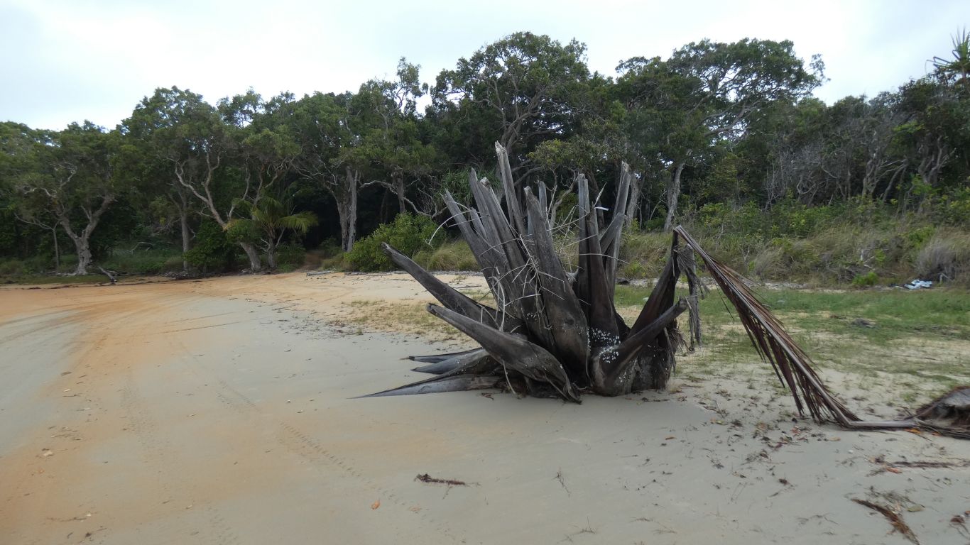
Near the end of the third beach the remains of a monster
palm. There are goose barnacles, perhaps its been brought in by the sea, but
somehow landed right way up. |
| | | |
 |
|
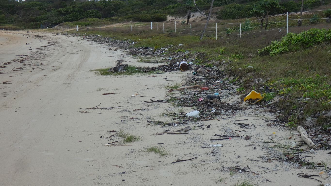
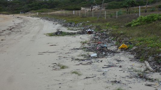
There's lots of "stuff" washed in. The obvious bits that
don't belong are plastic. Empty shampoo bottles. Footwear and bottles and bottletops. But none of
the footwear matches. And none of the tops fit the bottles. Predominantly
Indonesian labels. There's even two
fins for swimming, but they don't match either. Somewhere there are lots
of one-legged Indonesians with very clean hair. |
| | | |
 |
|
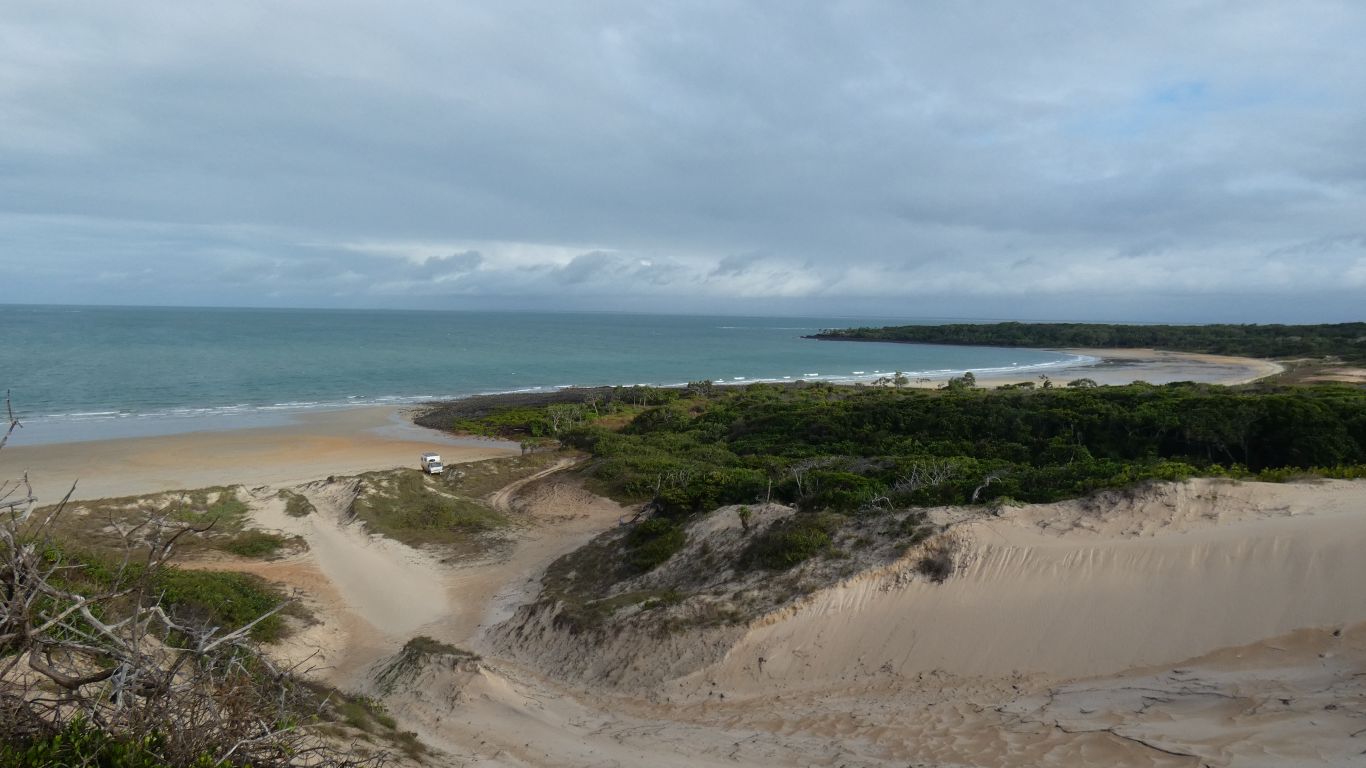
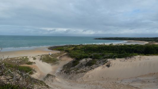
The campsite by the beach. It was harder climbing up the
ridge of the dune than coming down. The sand is soft.
There's another beach (Nanthau Beach) and headland (where the other end
of the track along the coast is) beyond what is in the pic. The loop is
known as Five Beaches track. |
| | | |
 |
|
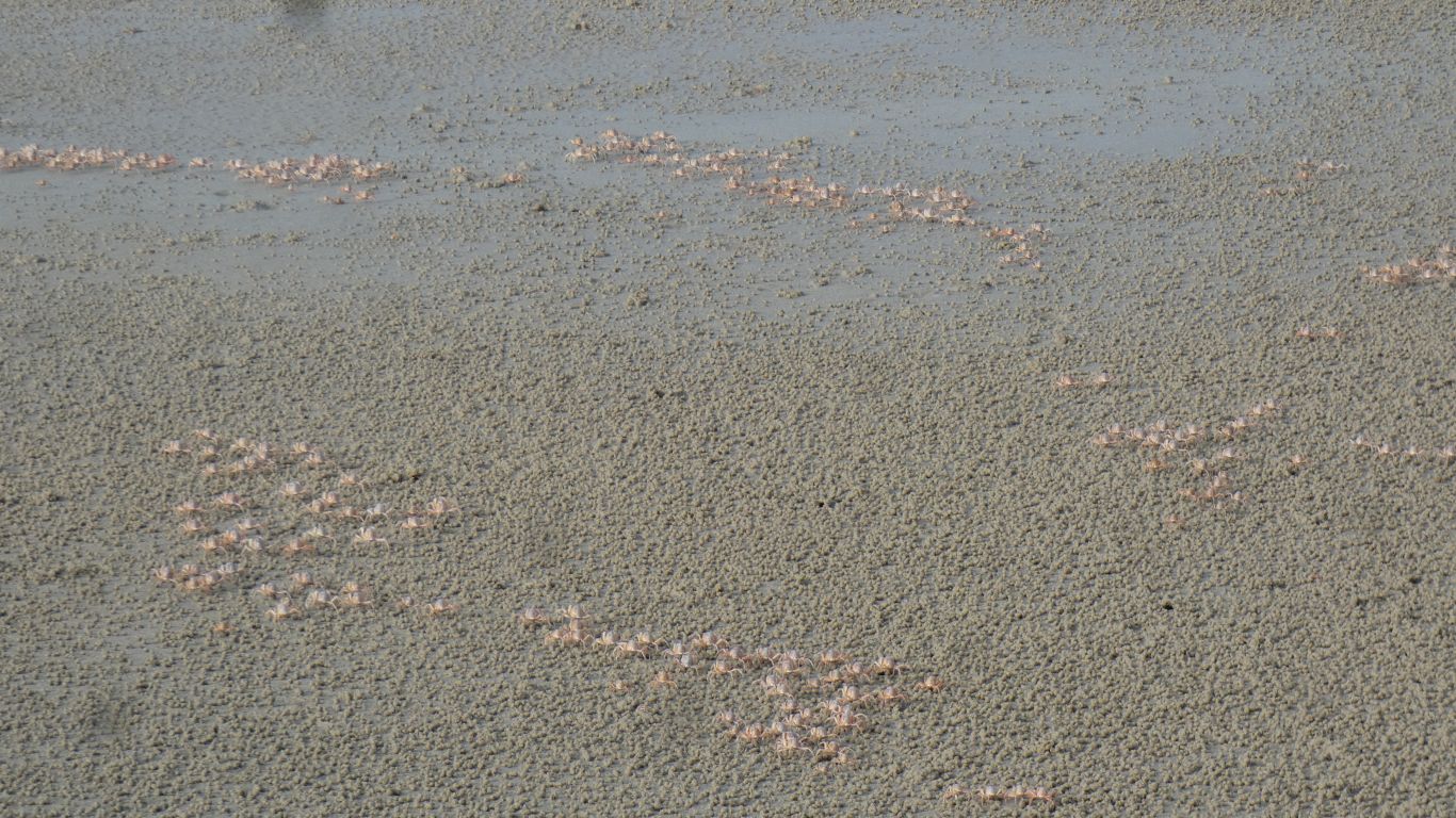
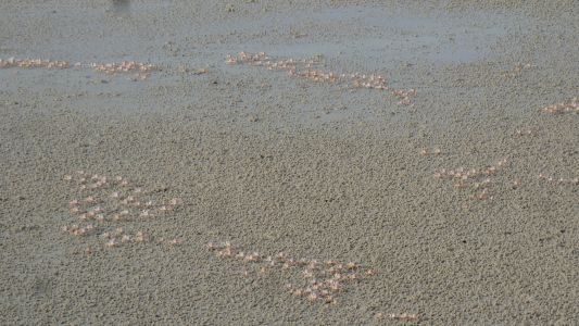
Not as blue as at Cape Tribulation. At first we see pale
pink, moving against the sand. Then we realise we are herding soldier crabs.
As they become aware of us the form into platoons, close together, and march
away from us. If we walk alongside they turn away. More of their behaviour
later. |
| | | |
 |
|
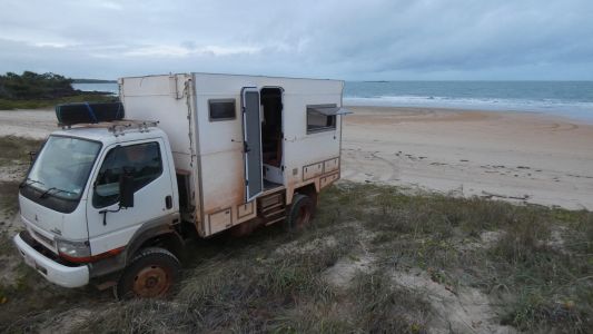
We think we'll spend a couple of days here. Watching the
sea, feeling the wind, avoiding the rain which arrives in short sharp
showers among the higher cloud. Temperature would suit Goldilocks. Our sort
of place. Despite the cloud, or perhaps because of it reflecting between
sea and cloud, our solar more than keeps pace with demand. |
| | | |
| Freshwater Bay, Somerset |
|
June 14 - 15 2019 |
| | | |