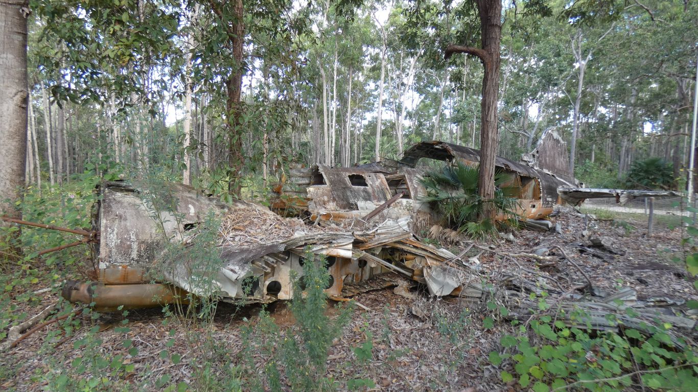
The US Air Force logo (a big star) has weathered away. The plane was contracted to Australian National Airline and flown by a civilian pilot with Australian Air Force support.

Few windows in this plane, a big cargo door.
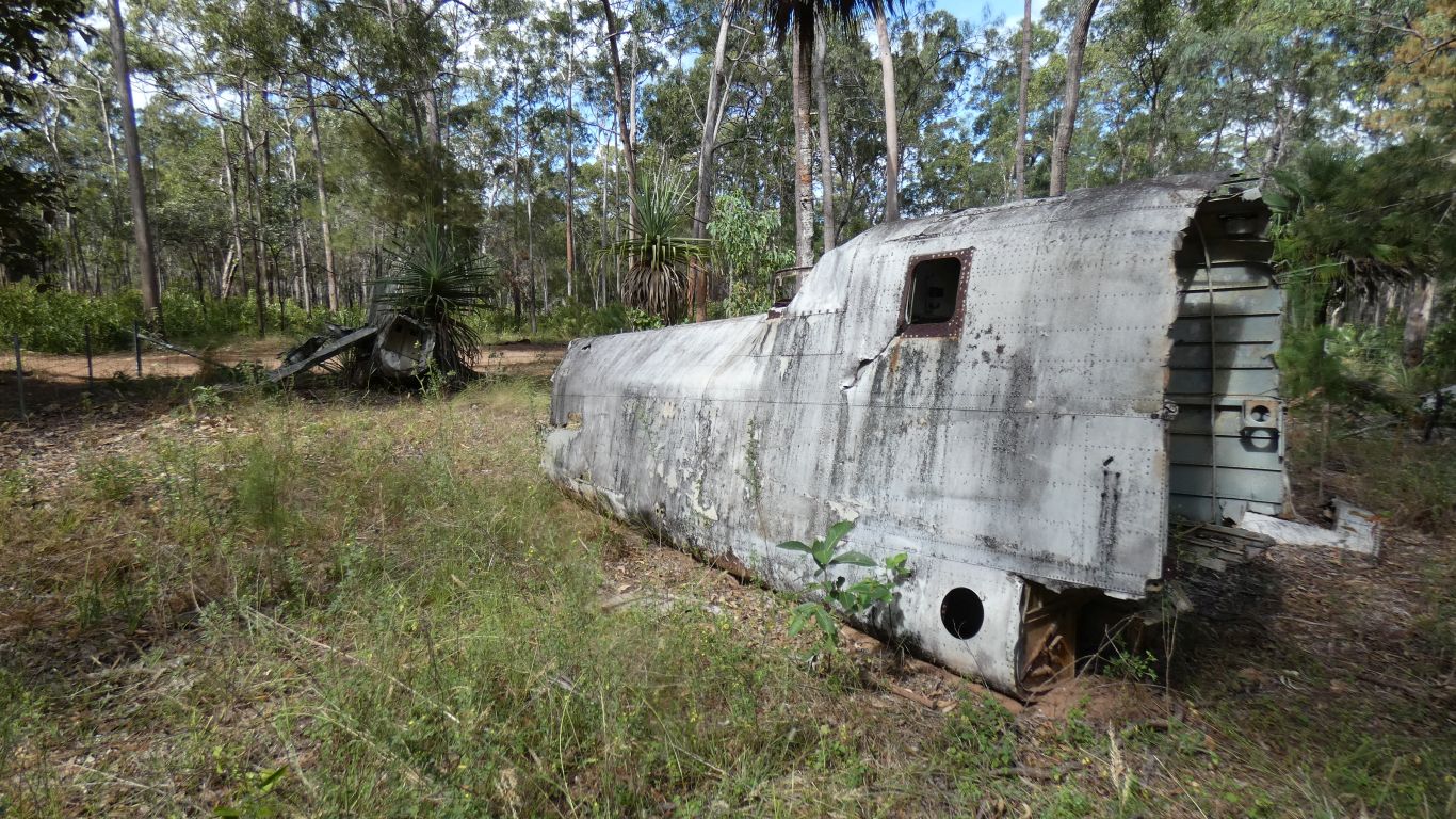
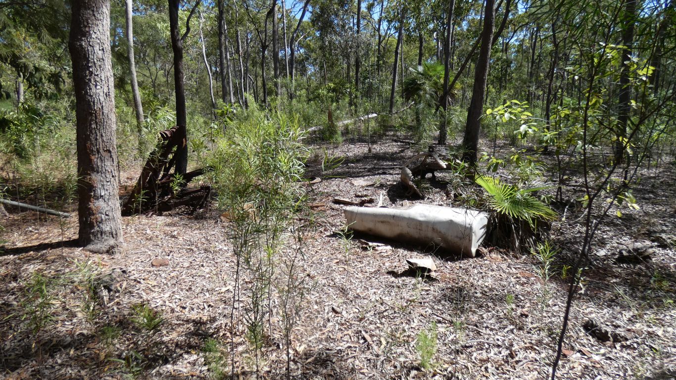
Lots of detail about the plane, but nothing about the crash.
A twin engined torpedo bomber. It looked a bit cramped in the cockpit.

This central bit of the wing looked sturdy, like a backbone. The cockpit would have attached to it.
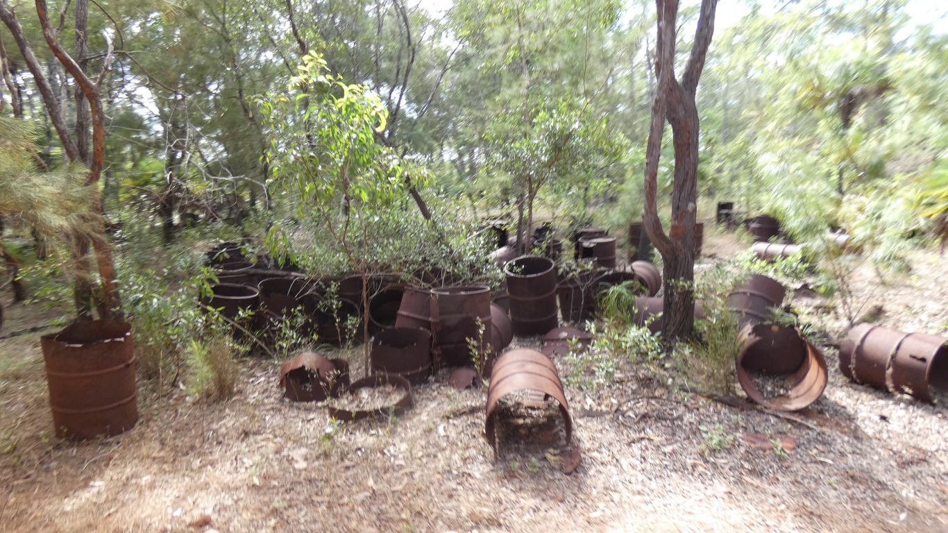
There was another crash site we (and a few others) failed to find. Though we bush bashed for 500m to the edge of a large swamp.
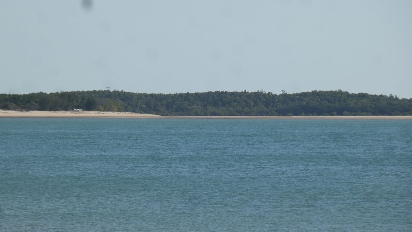
Just a few moments to contemplate the activity and disruption that war caused in this part of North Queensland.
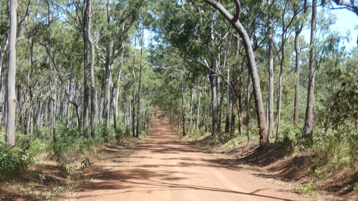
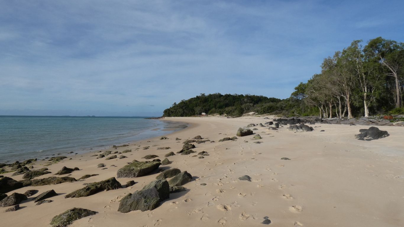
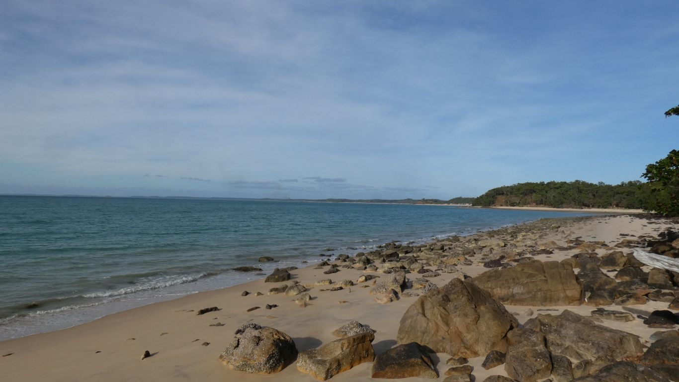
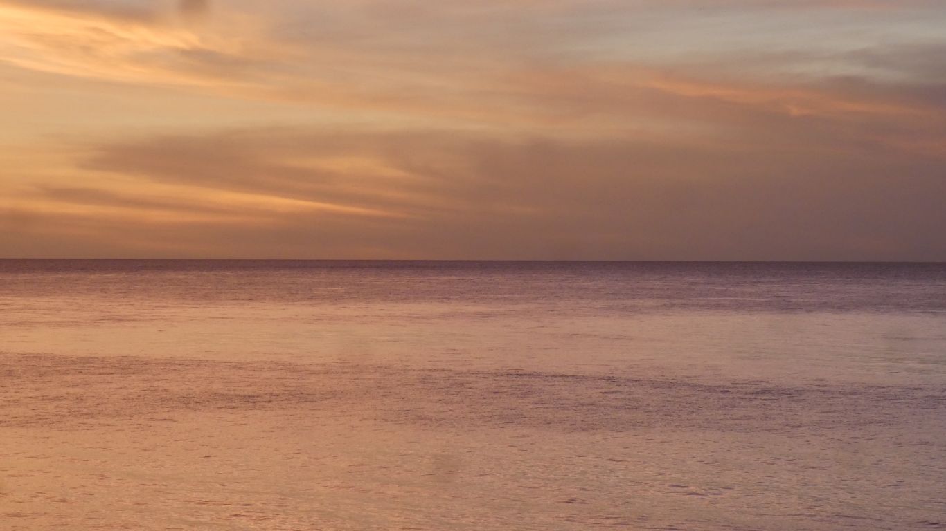
This is pleasant.
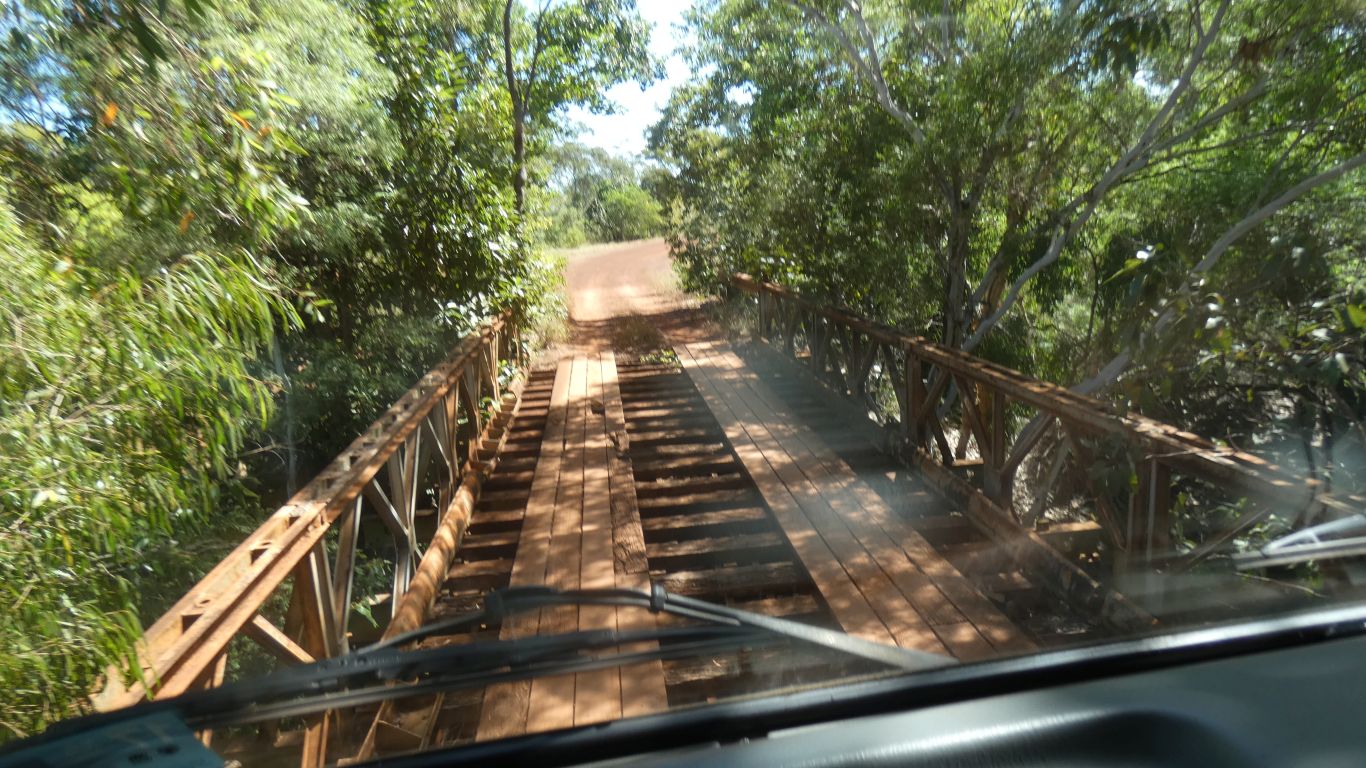
The bridge was much easier.
Saibai Island was inundated by high tides.
The group later moved to the newly created Bamaga and Seisia as there was insufficient water at Mutee.
The chief of the Saibai Islanders was Bamaga. Hence the name of the town.
We are only 8km west of Injinoo, but 30km by road.
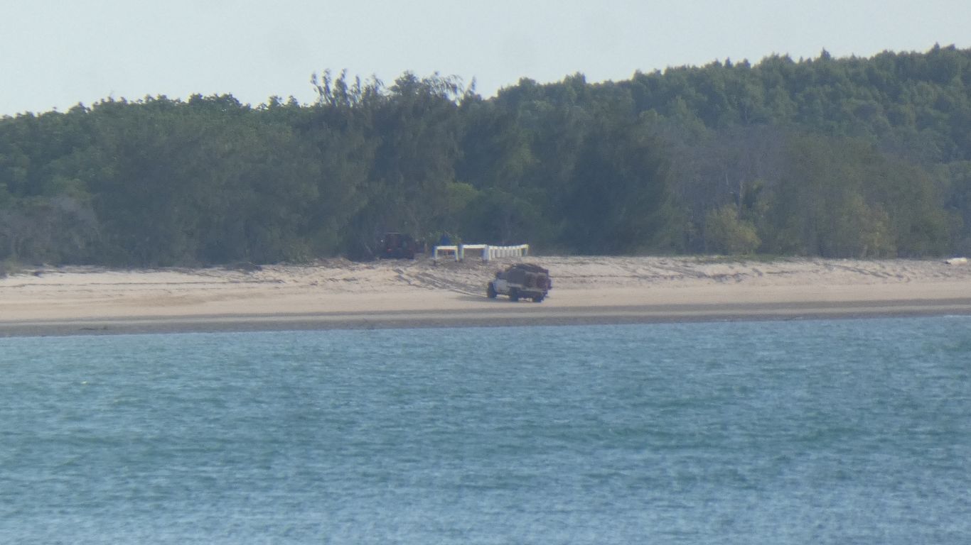
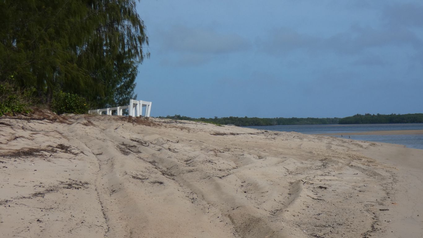
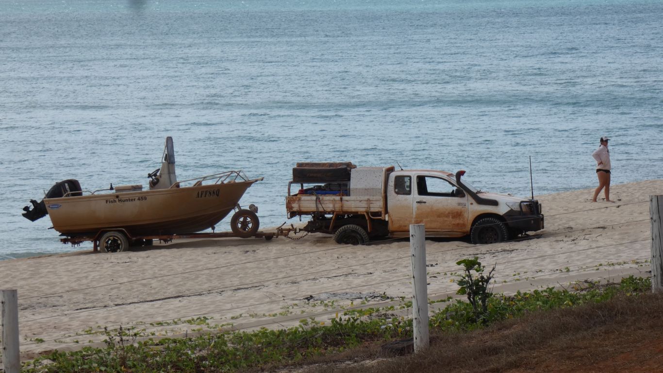
They adopted the "bull in a china shop" approach and took a run at it. Two were successful at the third attempt. A third vehicle became stuck further along the beach, was easily freed, and took a different line of approach. They presumably entered the beach half way along, there's a track.
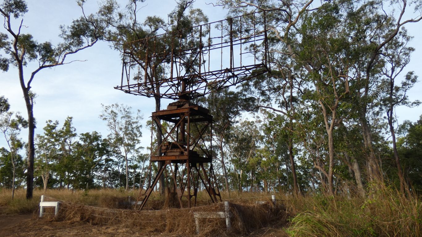
Transmitted 180kW at 200MHz with a range of 150 miles. Enough to see all the way to New Guinea.
The aerial is 9.5 x 4.5m. Flat, design these days is curved to provide a bit of focus.
38 people to operate, including the commanding officer.
The radar was a British Mk V COL set with an Australian made tower. Chain Overseas Low Flying. There were 10 similar installations in Queensland. This is the only one remaining.
Somewhere are the remains of an 80,000 gallon water tank that contained water pumped from the Jardine River.
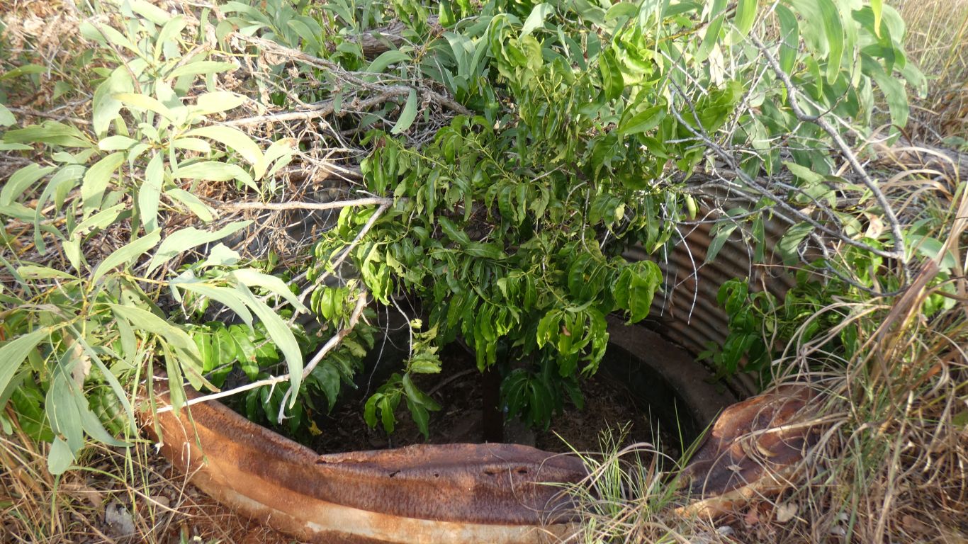
Its most likely one of two machine gun posts. Apparently boredom may have been a problem for troops. I can imagine the order - "sit in that hole in the ground for 8 hours".
There were two sheds to house diesel engines, the 180kW transmitter would require a lot of diesel.
The area immediately round the tower has been sprayed. The rest of the area is overgrown.
We retire to our camp. The tower is about 300m for crows, one km along the tracks for us.
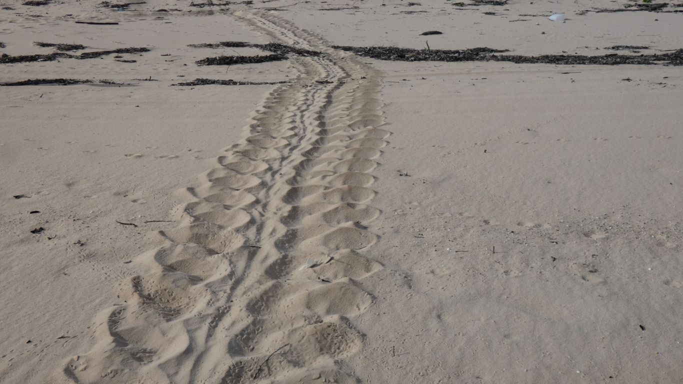
Leatherback turtles apparently. We couldn't decide whether the nest had been disturbed or not. A passing ranger later suggested the turtles back fill the nest and locals may have disturbed it as there was some "sorry business" in Injinu.
The turtle took about 40 paces to reach the nest. We are here a bit early to have much chance of seeing one.
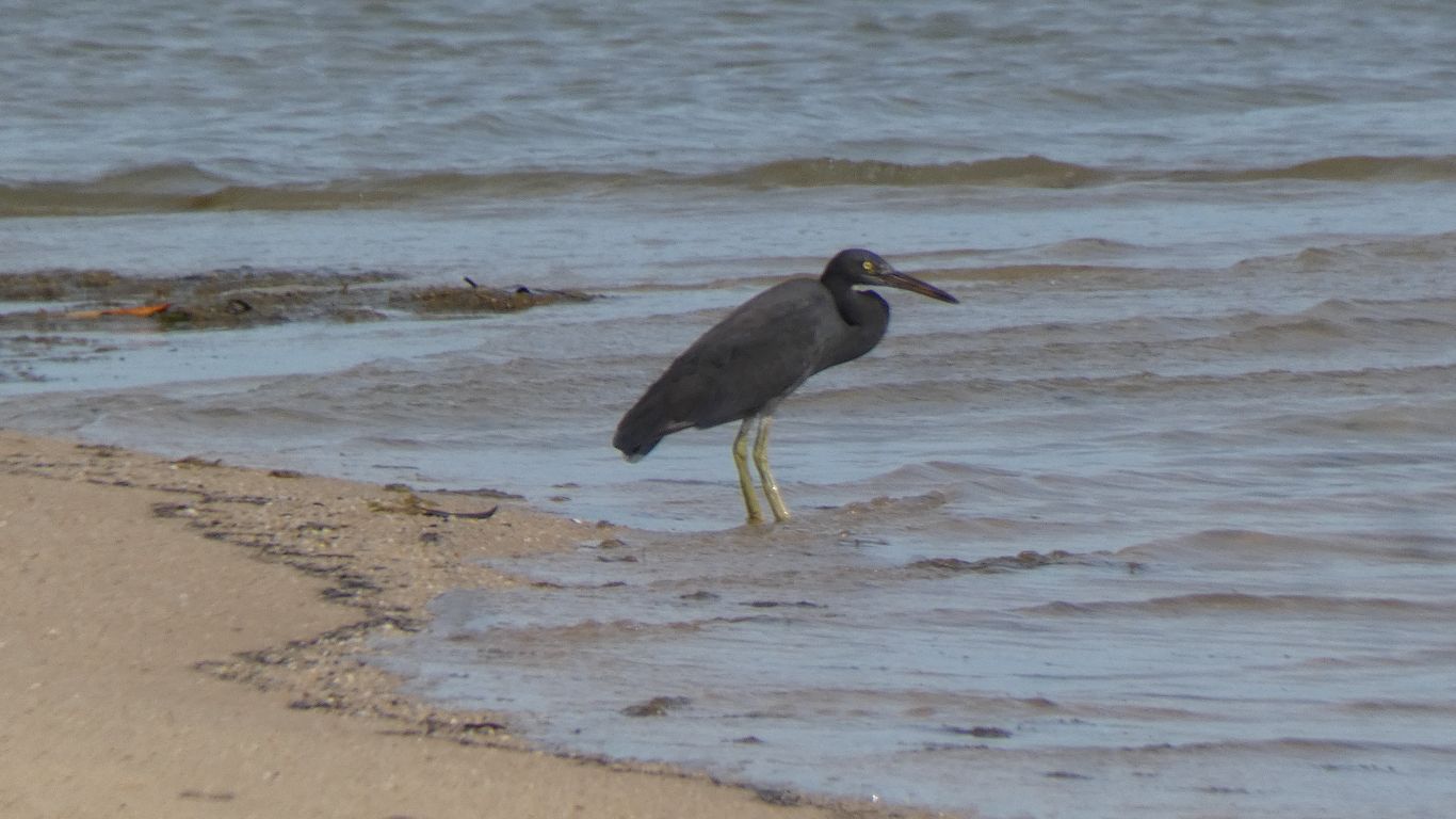
Possibly the dark phase of the Eastern Reef Heron.
Its actually the end of the track behind the beach that swings round along the side of the Jardine for a couple of hundred meters.
We wus here graffiti and a recent (10 days) croc sighting that went along the lines of "slept on the beach, saw a croc".
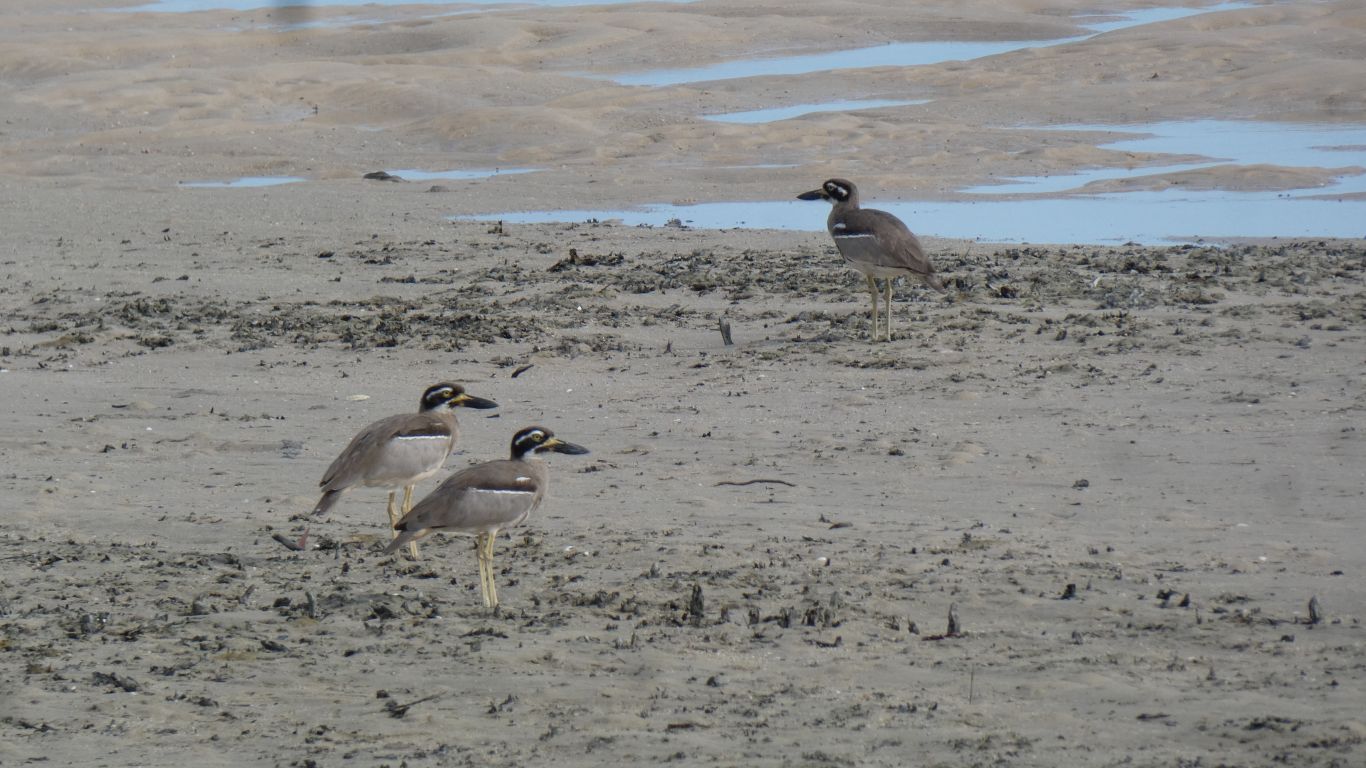
Three beach stone-curlews. We seem to meet them quite frequently.
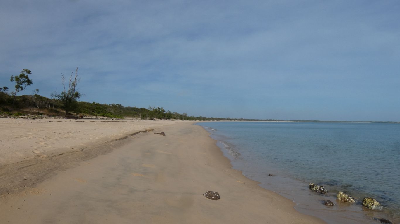
We've timed our walk well. The major high tide for the day was before we got woke up. A brief pause on the way out around 10am with a very reluctant second high, then the major low around 4pm.
We were able to walk on relatively hard sand. Had we walked on the softer sand, further up the beach, we would have needed a few days to recover.
We saw no crocs.
Which doesn't mean there weren't any.
Interesting was watching the ranger earlier who drove along the beach in soft sand. Well practised in the slowly-slowly approach he crawled at snail pace until sensing he was free he stopped to adjust gears.