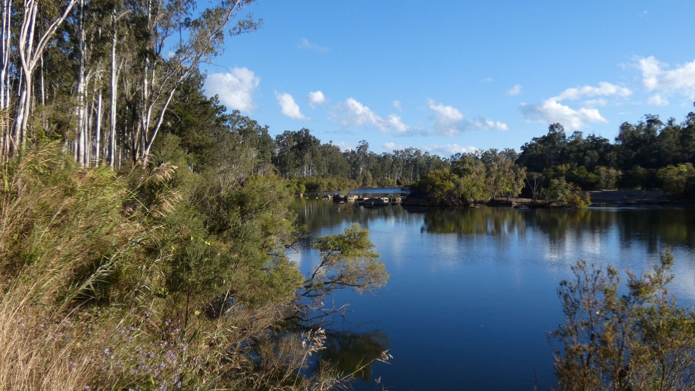
We are a little surprised they still occupy this pool as its a popular swimming hole and being a weekend there are other campers alongside.
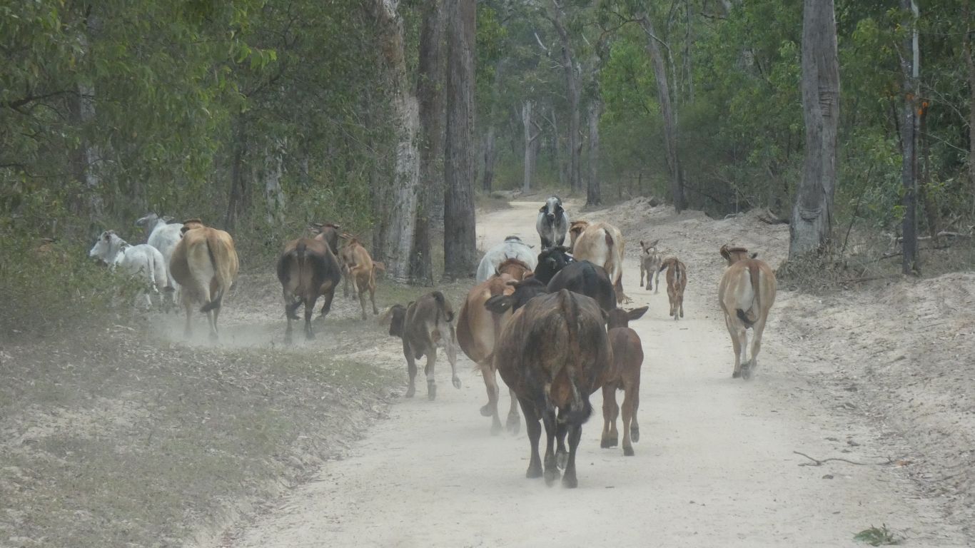
Heading west we encounter some early morning traffic. The male at the head of the convoy was last to give way.
We've been searching for back roads southwards and feel we can find a route that doesn't involve the coast.
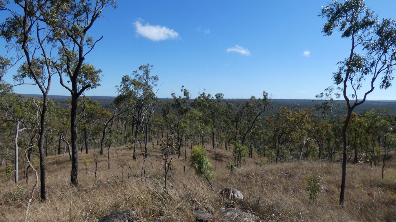
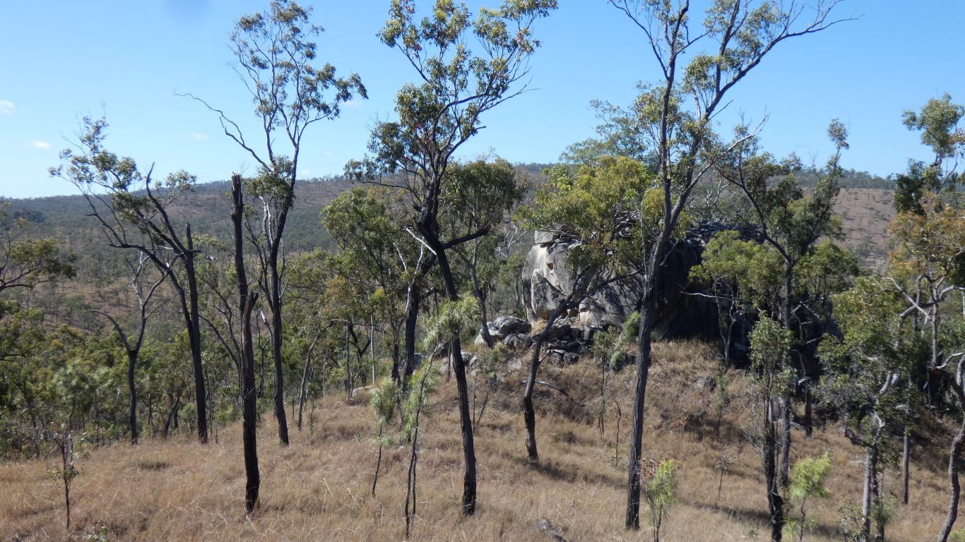
There are two small hills.
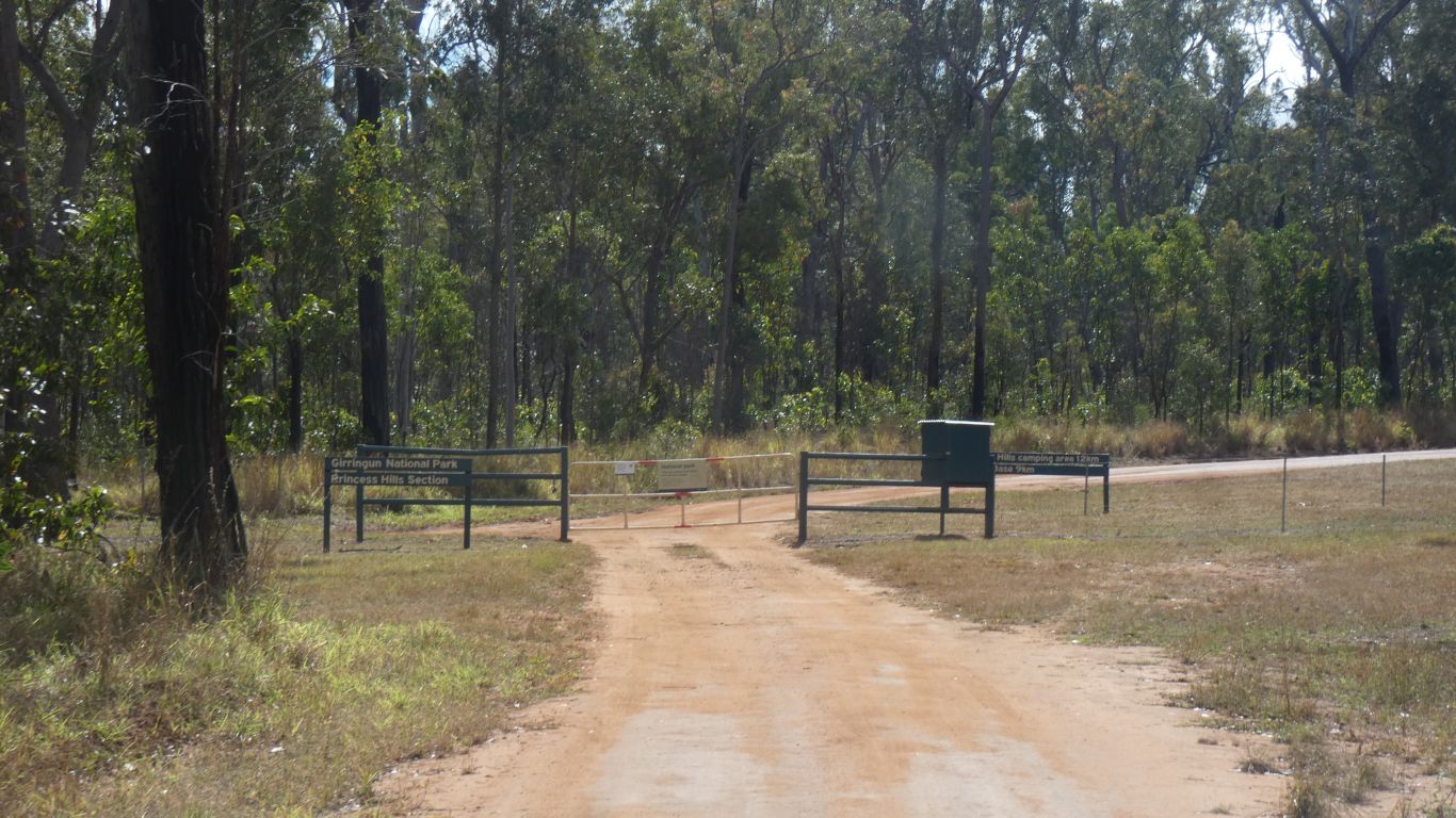
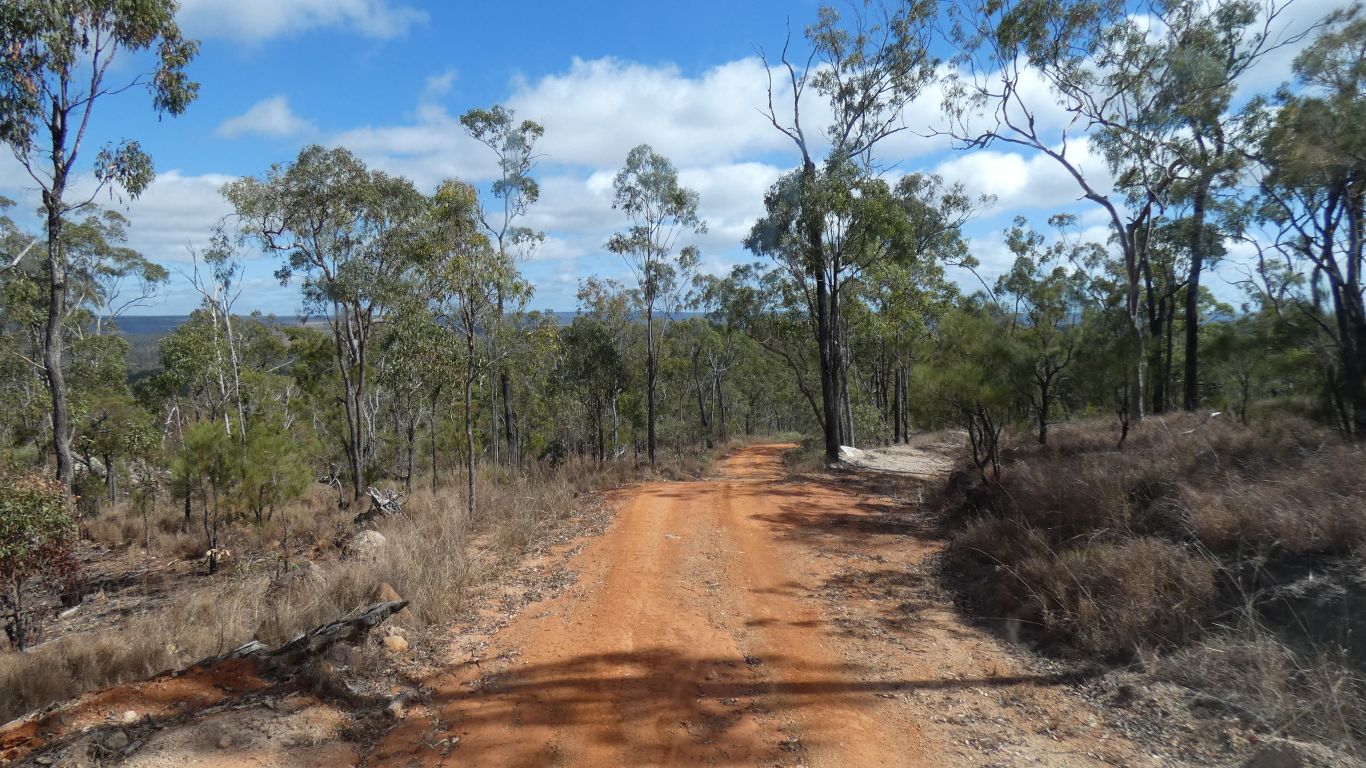
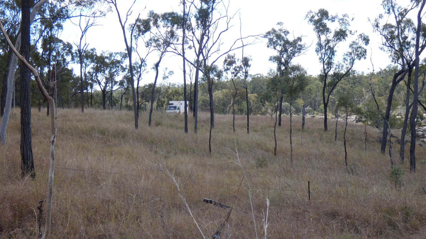
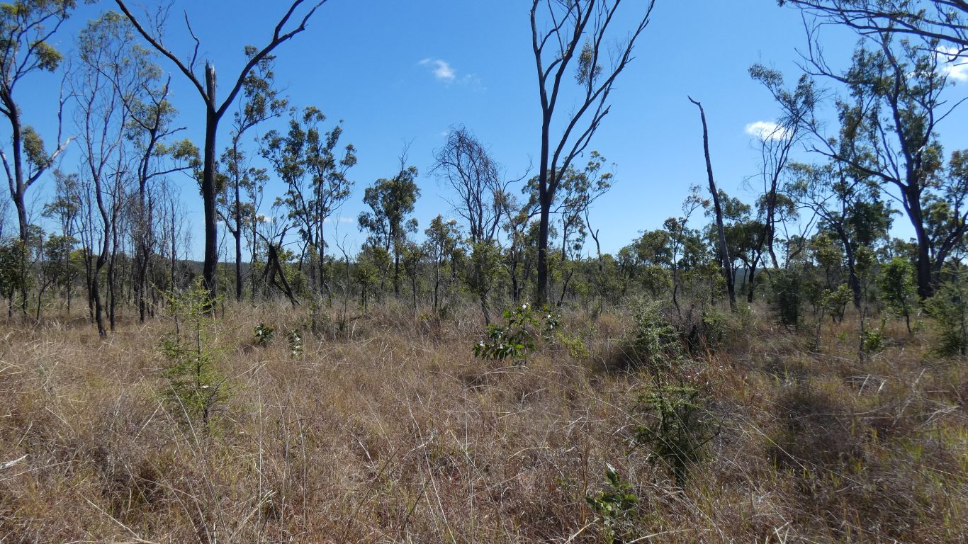
The track to our campsite is to the left after the gate.
Its not on any of our maps (which didn't help with realising we would be near Herbert River Falls).
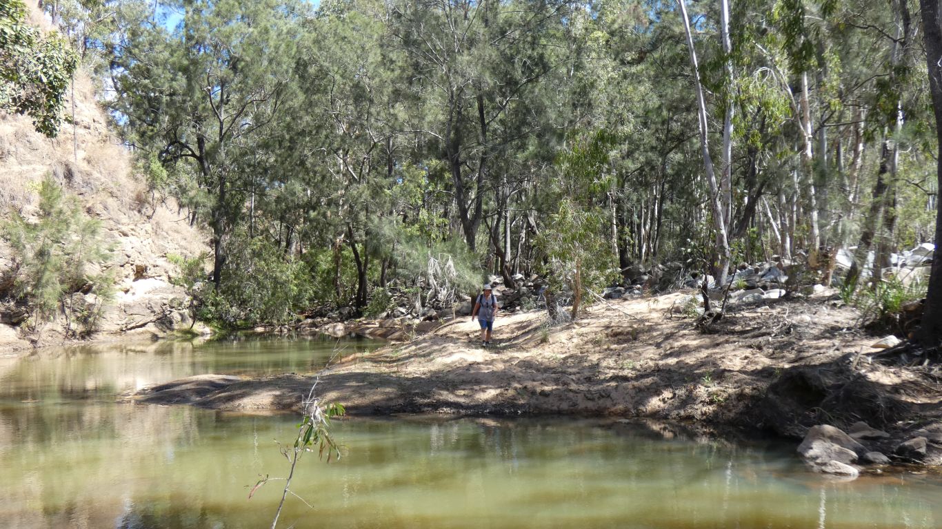
We knew from satellite images that there's a vehicle track past the campsite towards the falls. We had planned to follow that and see if we could bush bash on foot to reach the falls.
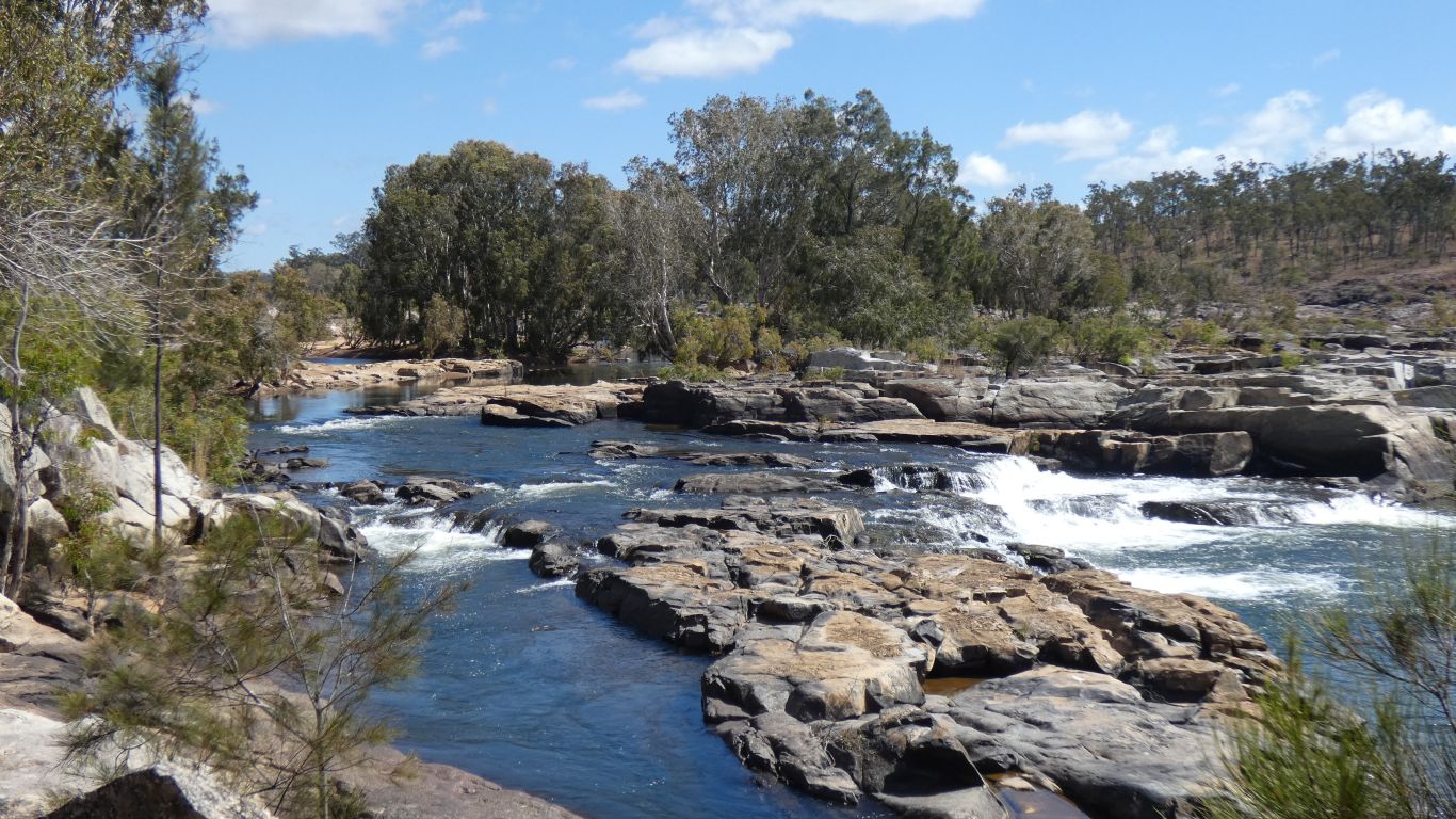
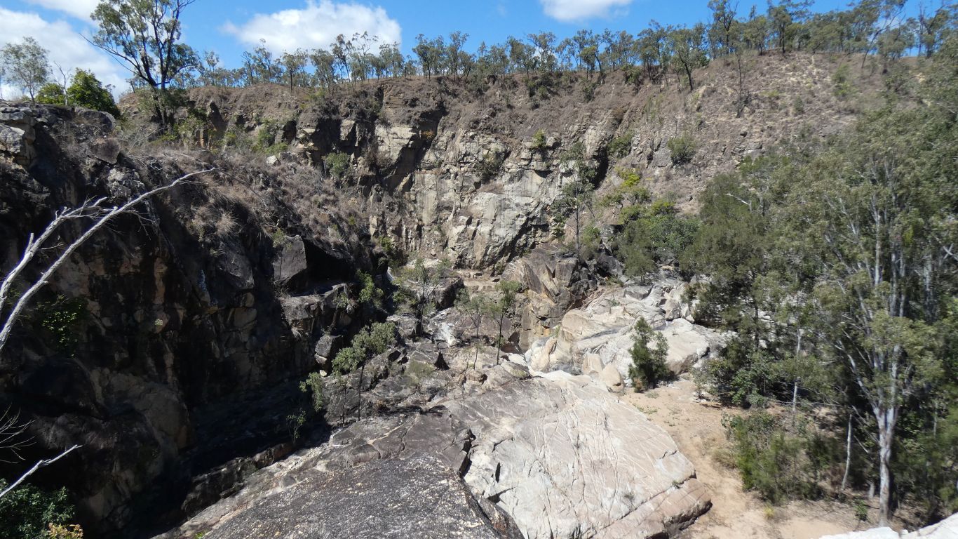
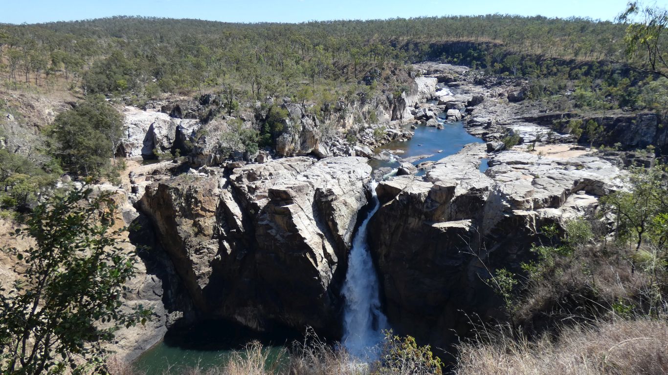
This pic is looking back after we've left the more sedate part of the river at the vehicle track end.
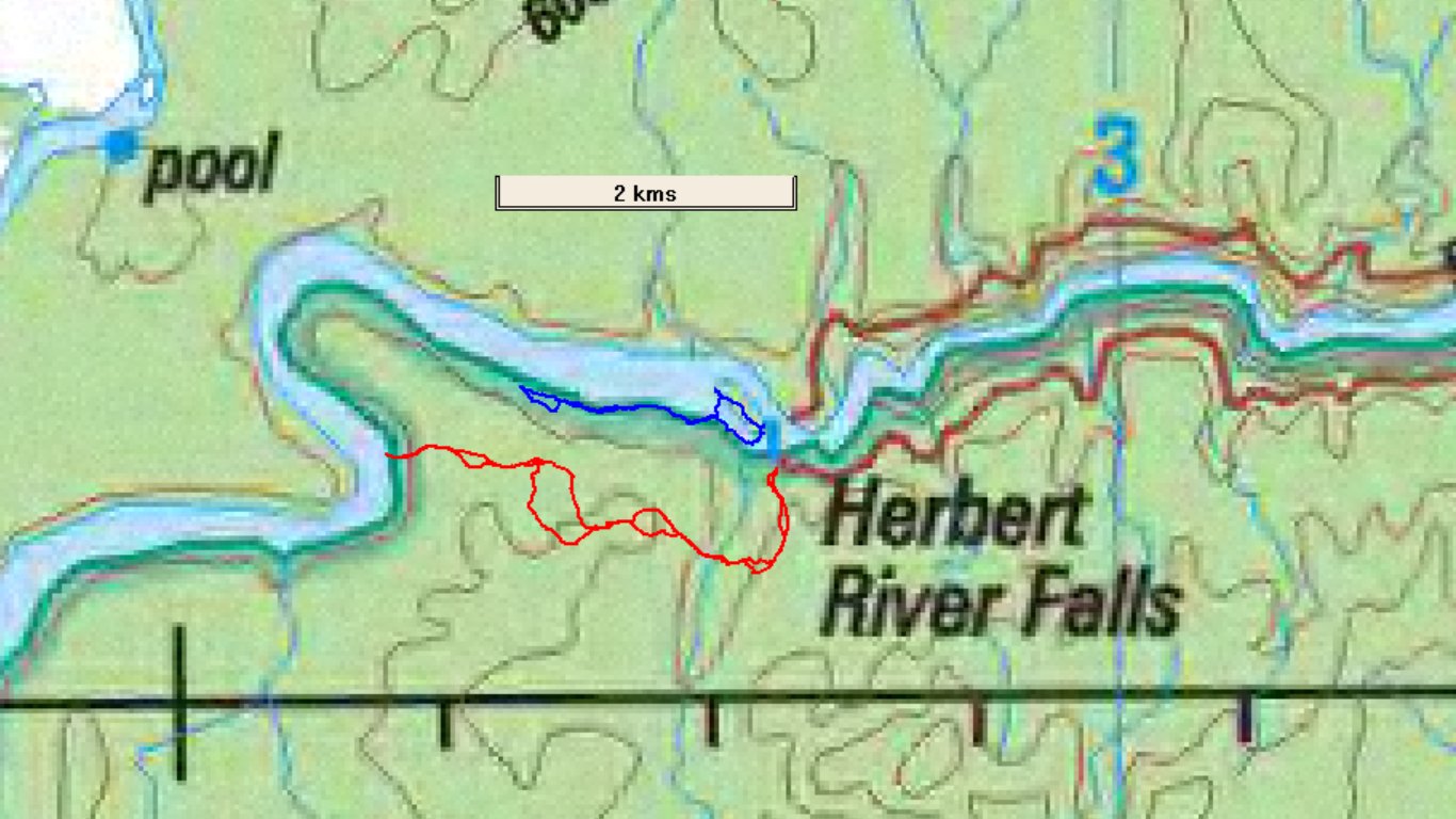
The blue line shows today's walk from the end of the vehicle track following the river to the falls.
The brown lines are contours, the beginning of the gorge is easy to identify.
Our aim was to stand on the top of the cliff opposite. Its only 200m away.
However, between us and that is a creek that comes in from the right.
We can't follow the flood channel any further, we can't climb up the right hand side (without risk) while realising how long that 200m would take us, so we climb up the left hand side, onto what appears as an island on the map.
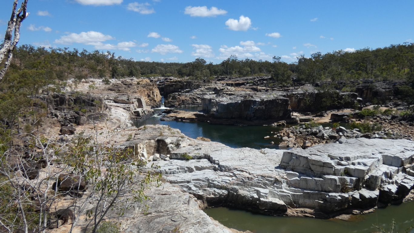
We follow the ridge of the island to where we can see upstream. This pic is looking upstream from where we first crossed the island to see the main stream, the big leap of the falls is below to our right.
The granite is dark where it has a coat of algae, and light grey, its natural colour, where washed by the river in flood. There must be times when a lot of water flows along this river.
Under the grass the ground is not nice soft sandy soil, its very coarse eroded granite, small stones that can be a bit like marbles.
A loss of concentration. The gps now has a scratch acquired during a slip, and a bit of back pain from one of those slow motion rolling over falls that occur occasionally.
Shades of "a bridge too far" come to mind.
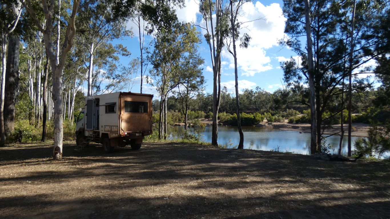
And decided to stay a second night. We have sufficient mobile phone signal to use the internet.
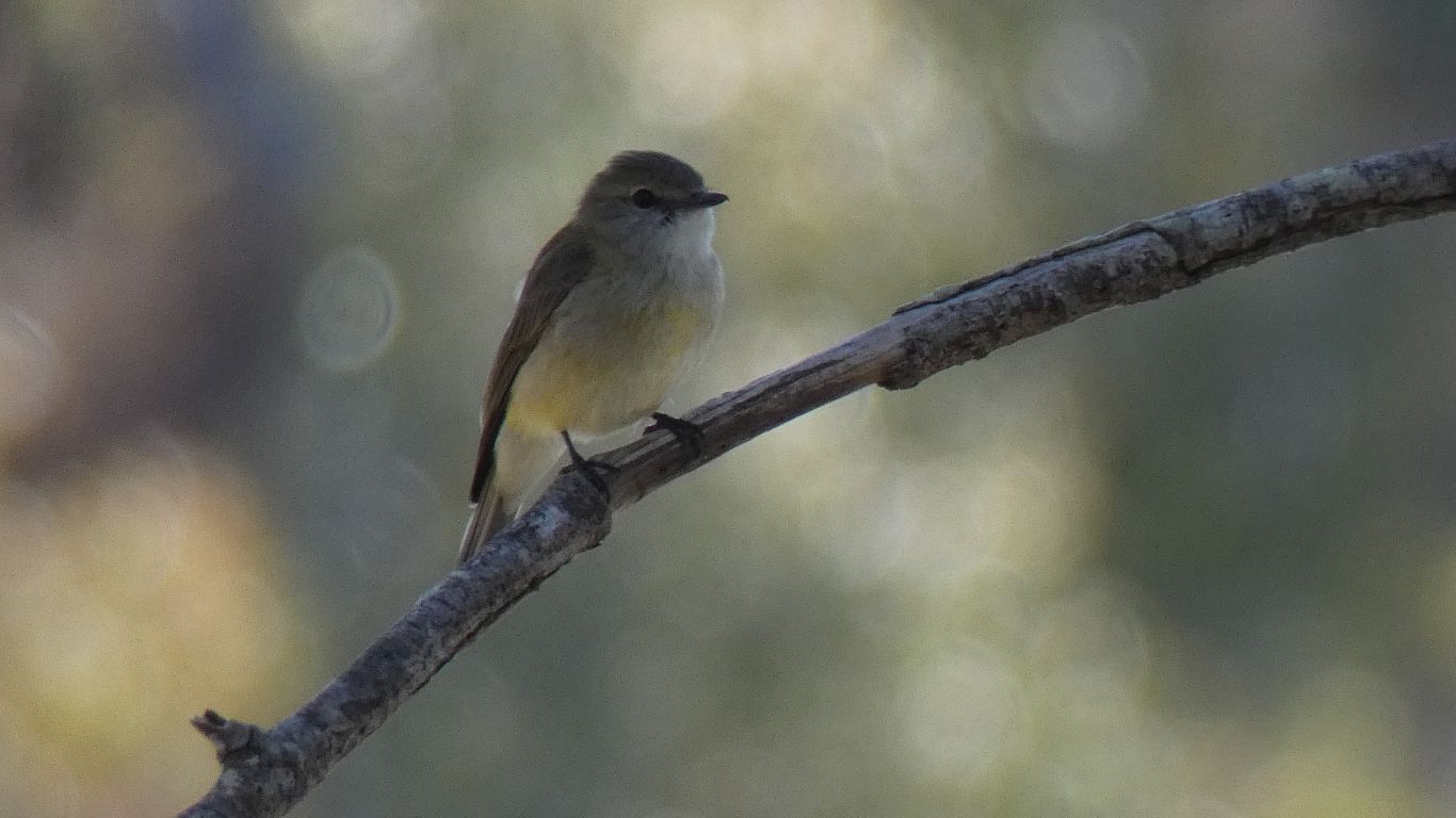
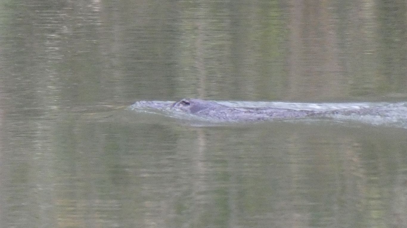
It held our attention for a while as it caught its evening meal of insects.
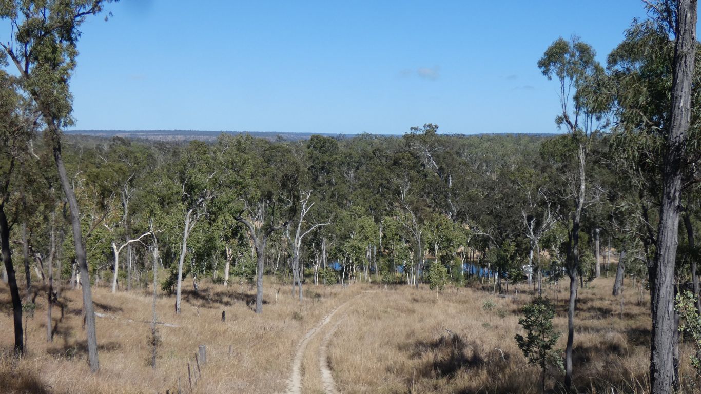
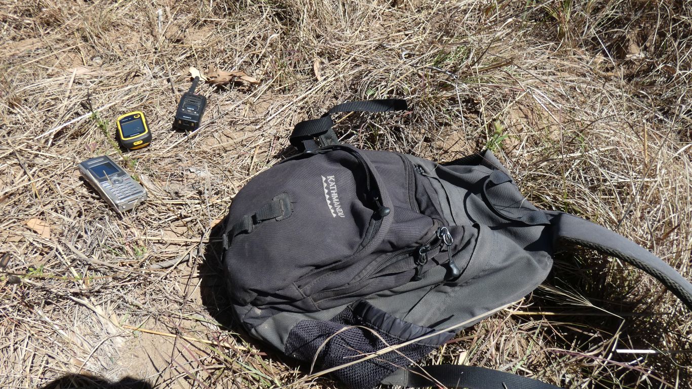
Initially walk up the vehicle track we took yesterday, looking back to the campsite and checking the radio.
What can possibly go wrong?
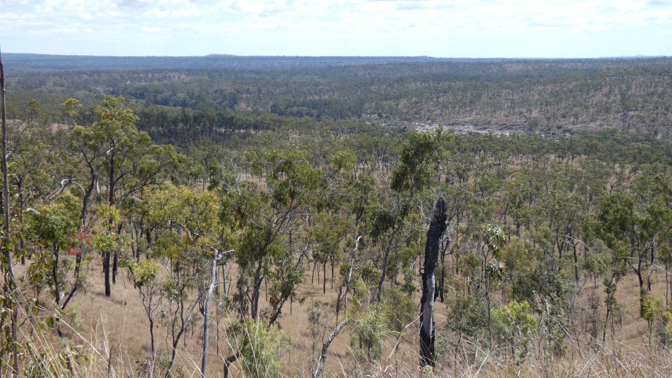
There was a suggestion from the satellite image that there were some ridges and watercourses. They are a bit steeper than imagined. It seems obvious I should keep as high above the main river as I can. Particularly knowing there is a creek marked on the map, the one we didn't reach yesterday, that I have to cross to reach the cliff.
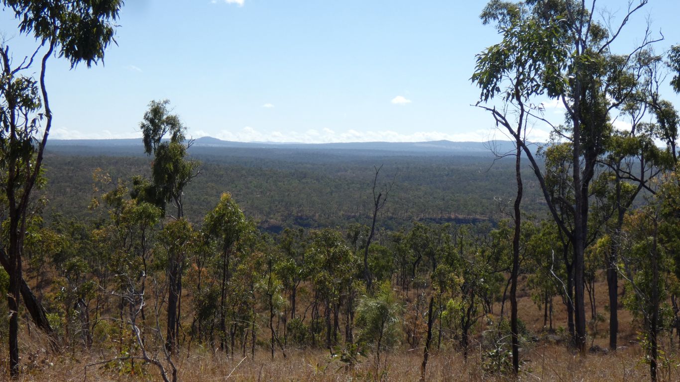
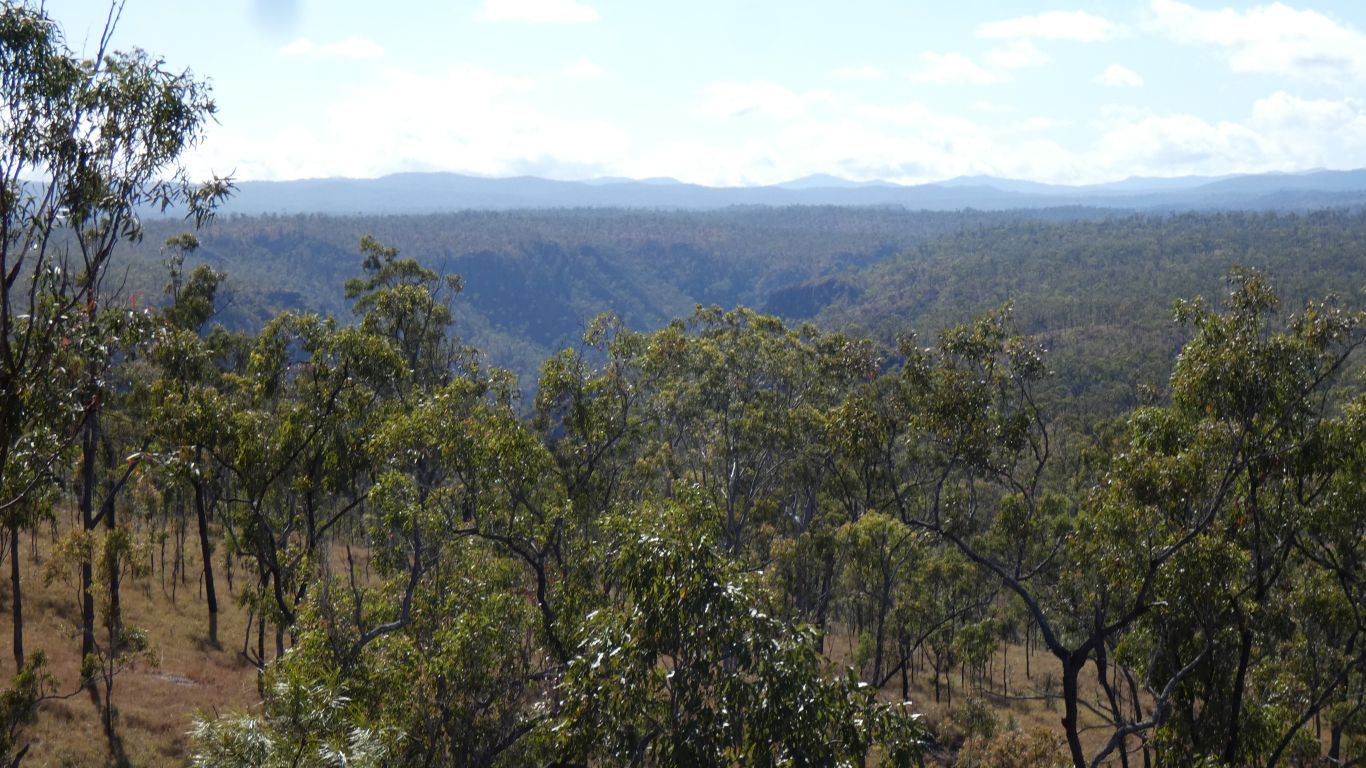
In the dim dark past the Herbert River used to flow to the west. Some time, as the Great Dividing Range (which is to our west) formed the river diverted through the coastal mountain range and progressively cut its gorge.
I reckoned the ridge in the distance was on the other side of the creek I had to cross and would lead me to the view.
At some stage in such undertakings as this its not unusual to question "why". And to wonder if the end point is achievable. This was one of those stages.
But common sense either prevailed or lost depending on one's perspective. For whatever reason, probably simply that I would finish what I started, I carried on.
The difficulty is of course that a cow making a new track has the same problem I have. I've never been here before and don't know if there's a way down, or a way out.
Fortunately, in the great lottery of animal tracks, I follow one that was successful. Just a bit of scrambling on the granite marbles, and hanging on to grass that really doesn't have strong roots. If cattle can do this with four legs, and kangaroos with two and a tail, then I can do it with two legs and two arms.
Within about 50m of the gps coordinates I have the vegetation changes in subtle ways. Apart from the grass being longer there are more shrubs forming undergrowth.
I'm within 20m of the edge of the cliff before I hear the waterfall.
I can see the pool at the bottom of the waterfall. Just. I recall from yesterday's pics that its a long way down with no really clear edge.
The last pitch of the waterfall is about 60-70m. Not particularly high, but in the scheme of things a spectacular waterfall.
I will never see it (not only because it would be too hard to reach on foot but because the spray would obliterate the view), but I can perhaps imagine a little of what it may be like in flood - helped by an ABC article from the last time.
Holding a tree with one hand and holding the camera out as far as I can reach is the best I am willing to attempt. The coordinates were -18.23643,145.37082
At this stage I decided to contact Ali. I'd been away longer than planned. The radio failed, though apparently some crackling for Ali. Once a communication attempt has failed its possible the recipient knew something was being tried but not whether its good or bad. I tried the satphone. The mobile phone signal at camp was a bit iffy, all Ali knew was someone was trying to call. I sent a text, but by that time Ali had (fortunately) decided to walk up the hill to the high point of the vehicle track and try the radio.
Having tried and failed to communicate I thought it wise to tell someone else, so a couple of "All Ok" messages, with brief explanation why, to daughter (remote area support coordinator). Once having tried to communicate and failed our imaginations can take over.
I was on the move again, headed home, when I heard a faint "hello". It wasn't the satphone (how could it be?). I tried the radio. All good, Ali's extra height gave us a good signal. Ali knows I'm OK.
350m makes a big difference.
I can see the coarse of the river, and even water. I can see places in the landscape I recognise and cross the last watercourse at the same point as the walk in.
Nearly home, a total 8.7km in 3 1/4 hours. Not my usual 4.5km/hr, nearer 2.2km/hr while moving.
But mission accomplished - I nearly said "the things we do for a picture", but there's more to it than that.
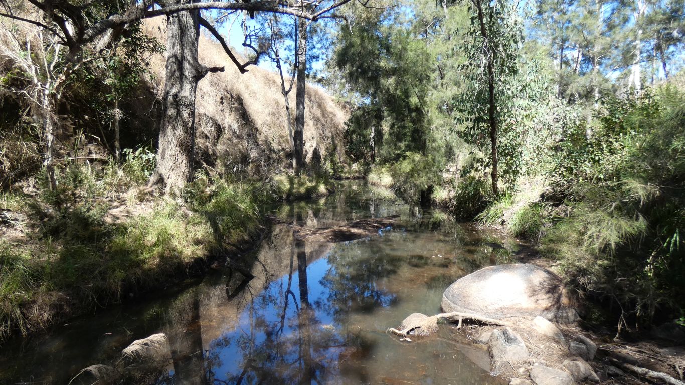
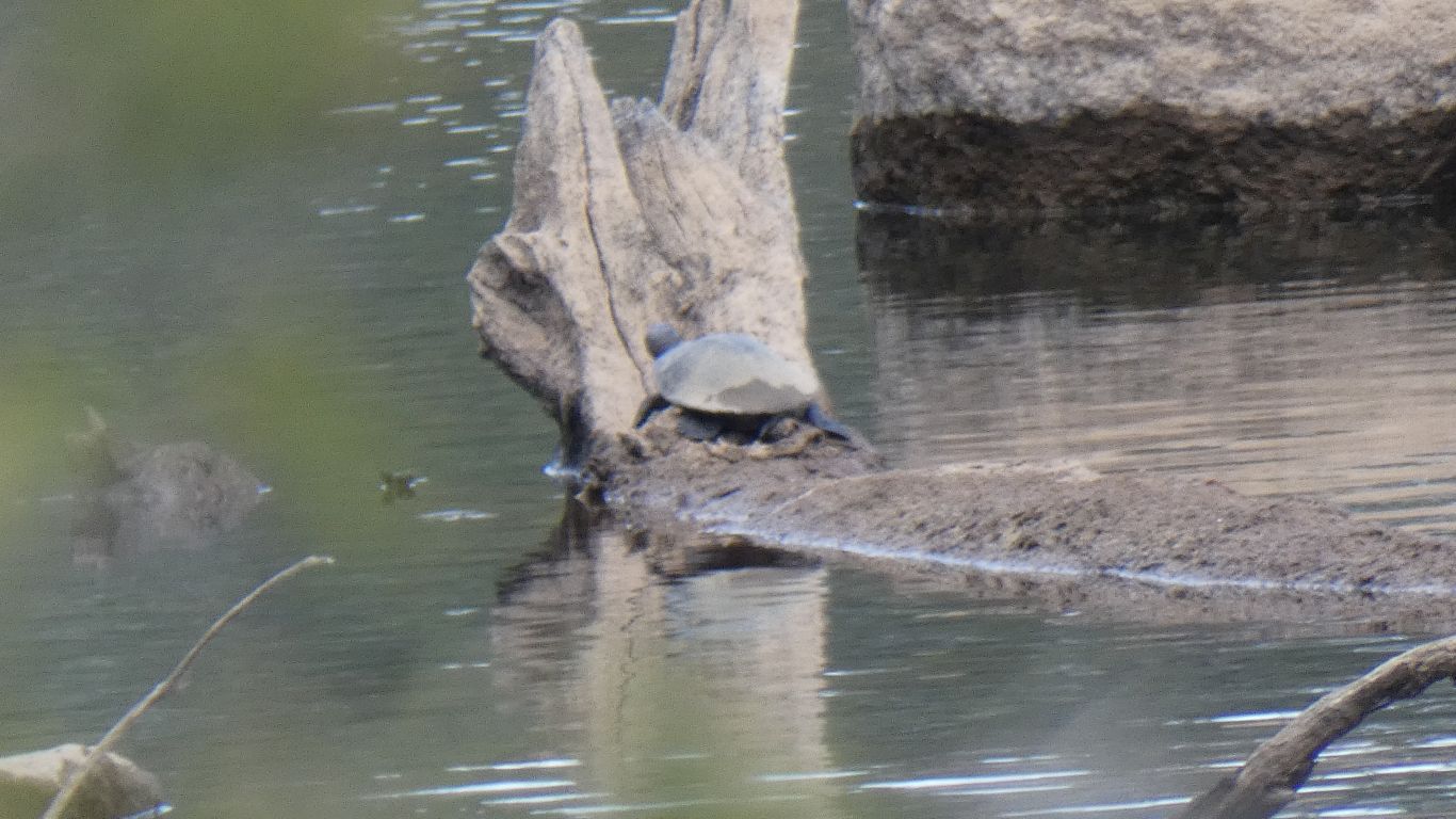
Just upstream is a resting turtle. Ali's been watching it for a while. As I point the camera at it out pops head and legs. A few seconds later its gone.
We'll watch for them making ripples in the calm water of the river.