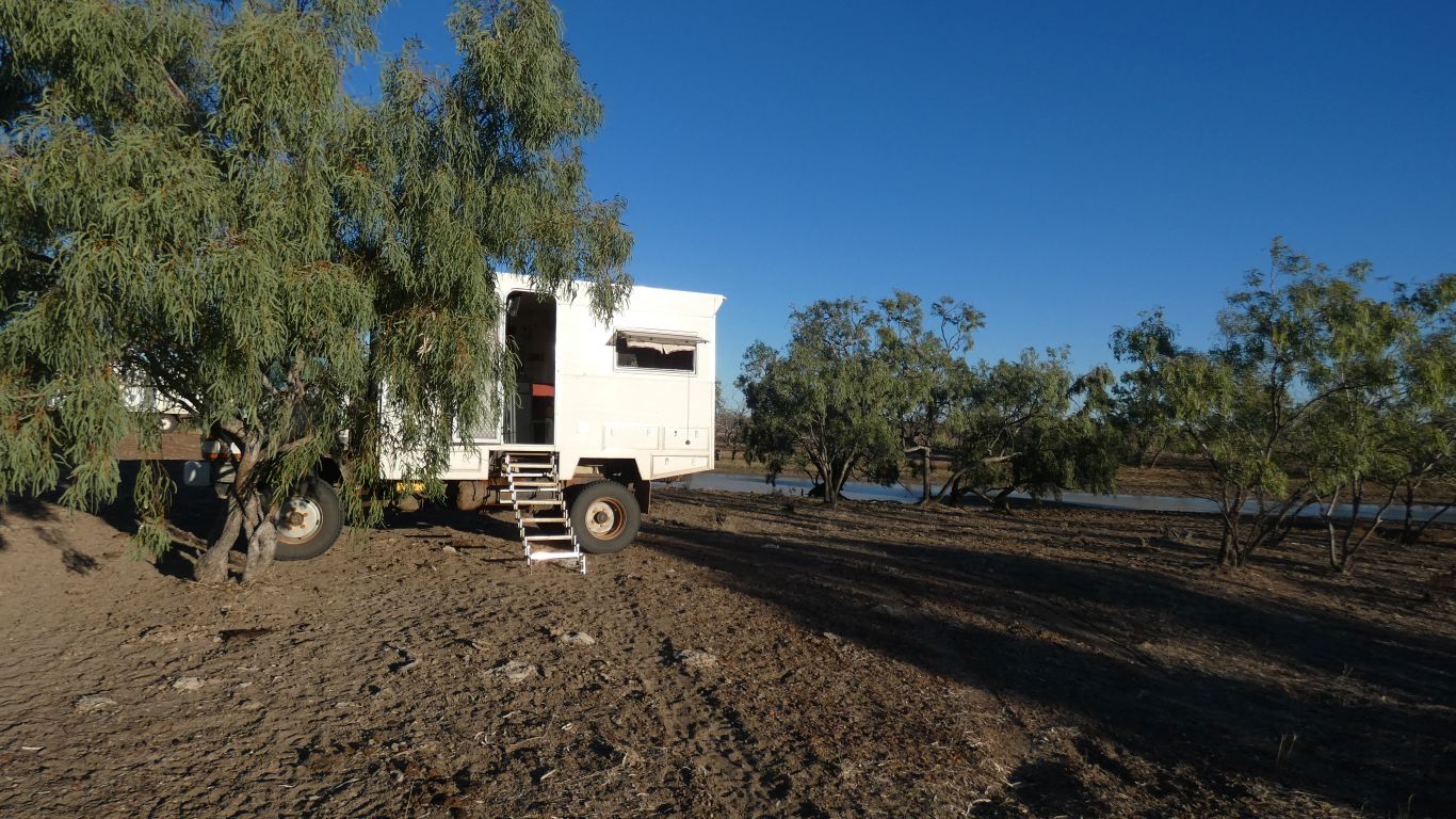
An oasis, at which we spend a couple of nights.
Eating all the fresh food we can't take across the border into Northern Territory.
And, of course, washing.
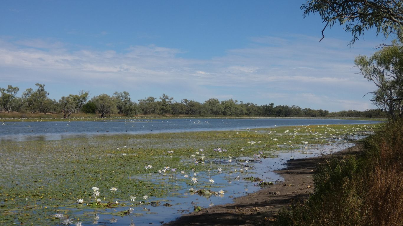
North of us, nearer Camooweal, is Lake Francis. Also about 1km.
Caravans along the banks of Lake Francis. A space for us, 100m from next camp, at Carellan.
With internet.
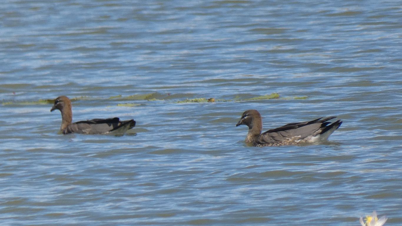
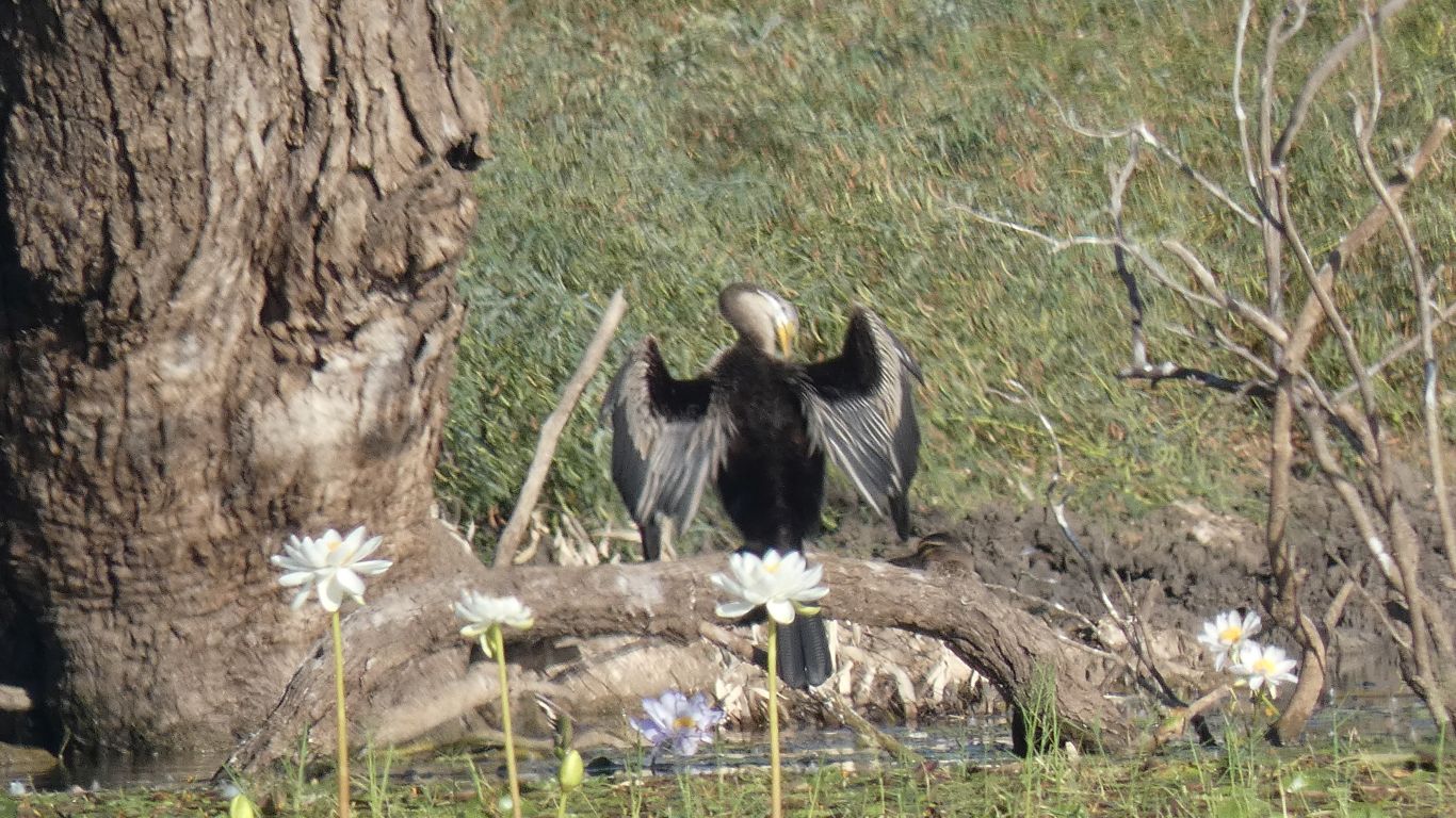
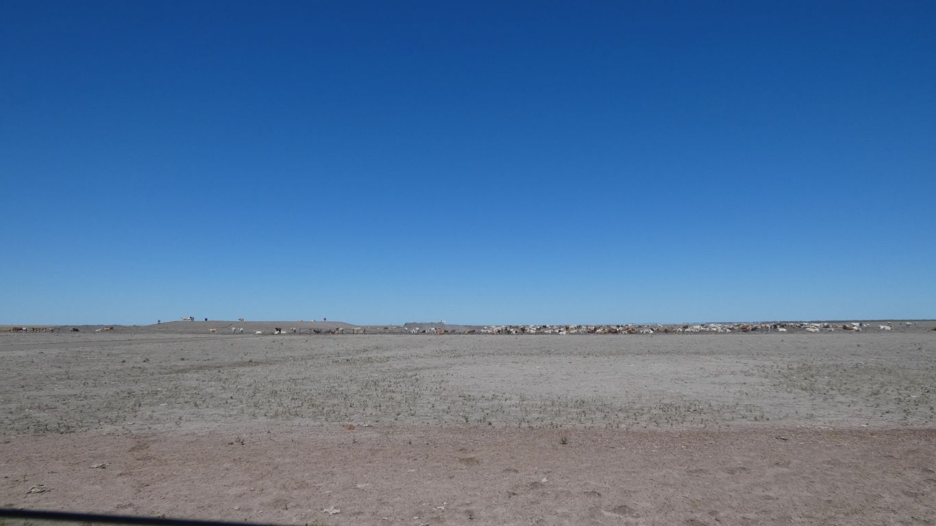
On the other side of the lake from us. Today there were four. Tomorrow seven. They arrive after our lunch.
They must be well fed. They sit in the shade for the afternoon.
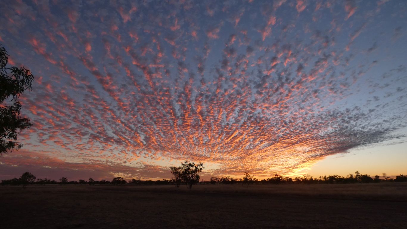
As the sun lowers in the sky.
The Camoweal shop is closed over the weekend, opens again Monday 9am, closed 4pm. Post Office hours.
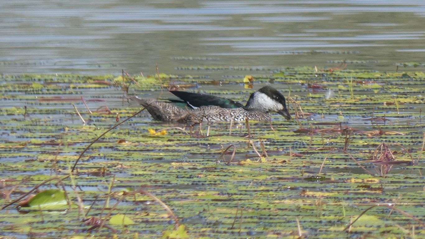
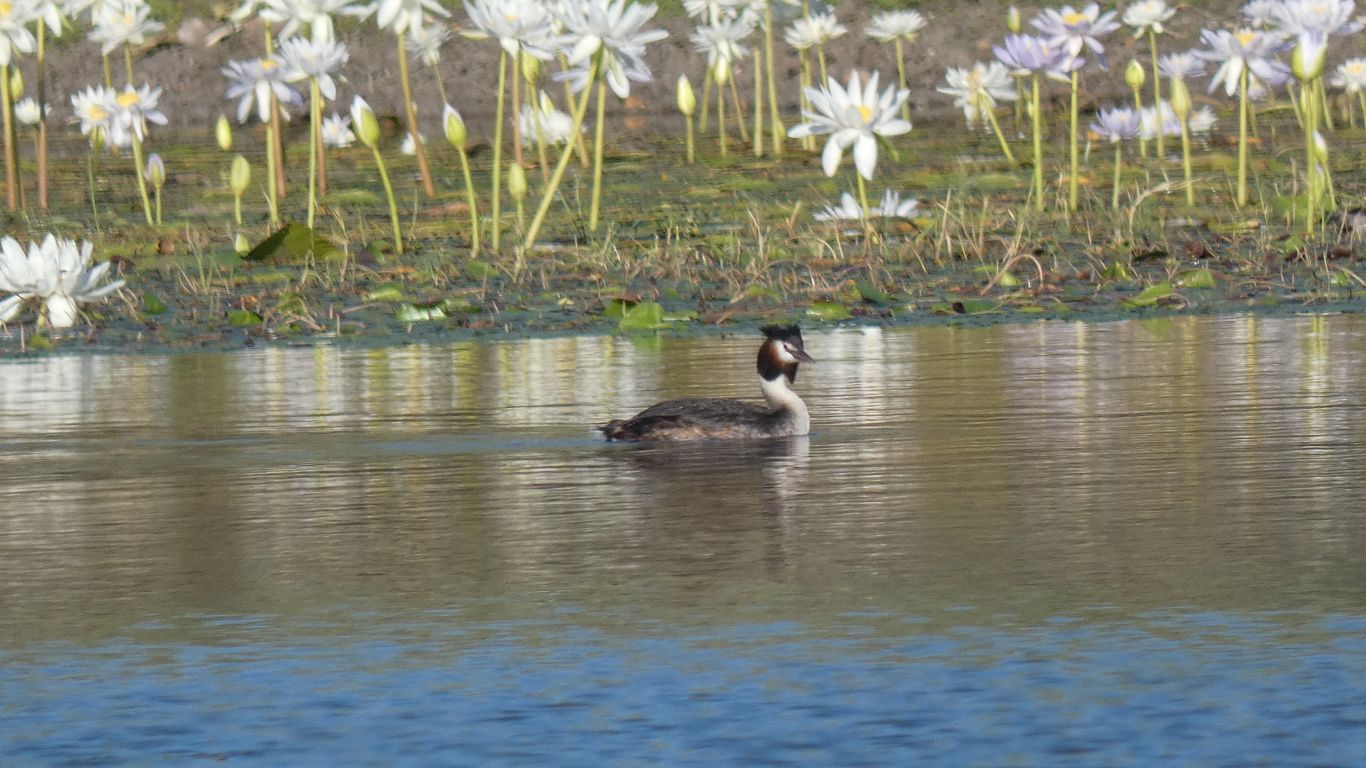
We think a large cormorant.
Up and down.
Or at least along and back.
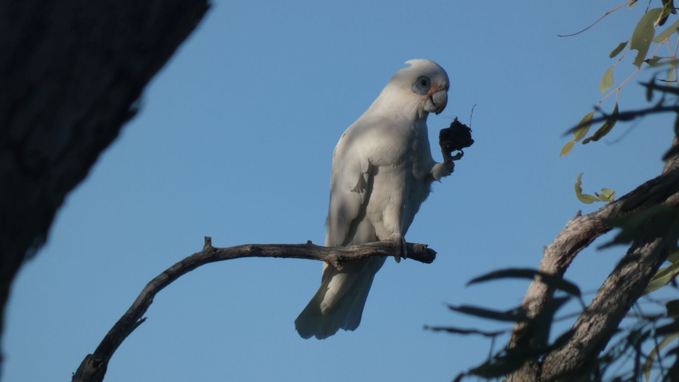
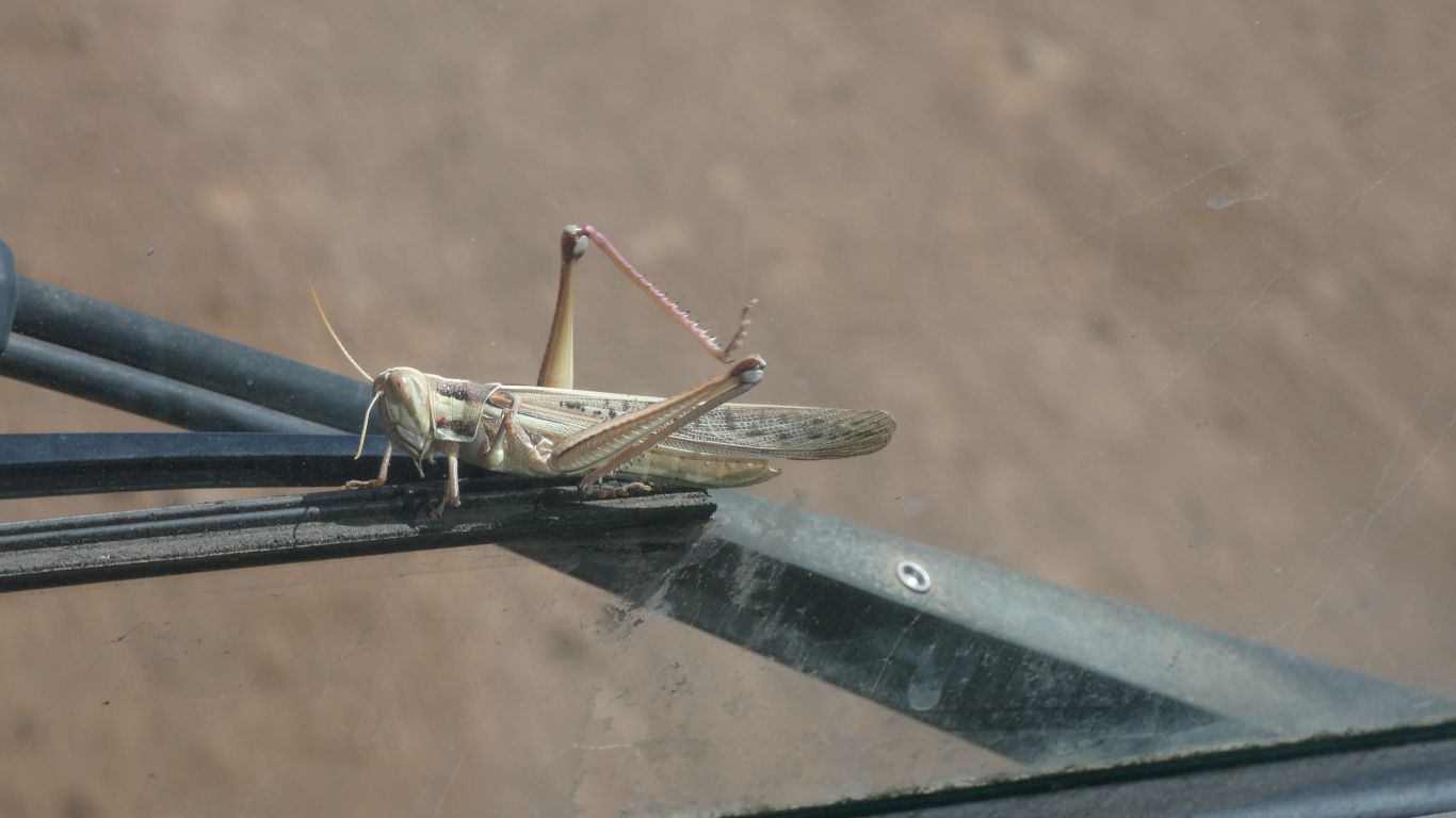
De rigeur for parrots it seems.
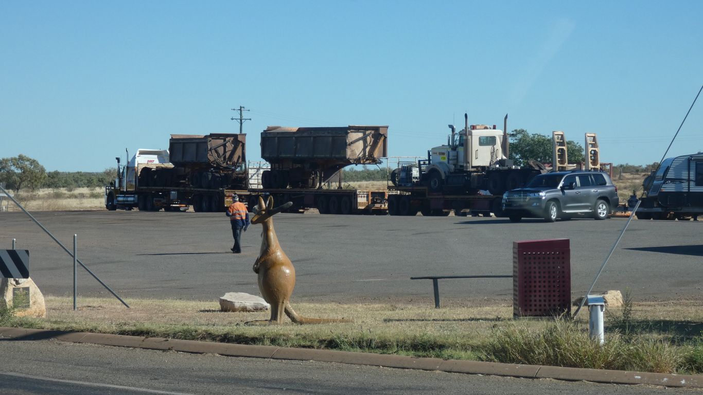
The kangaroo is to make sure the trucks park parallel.
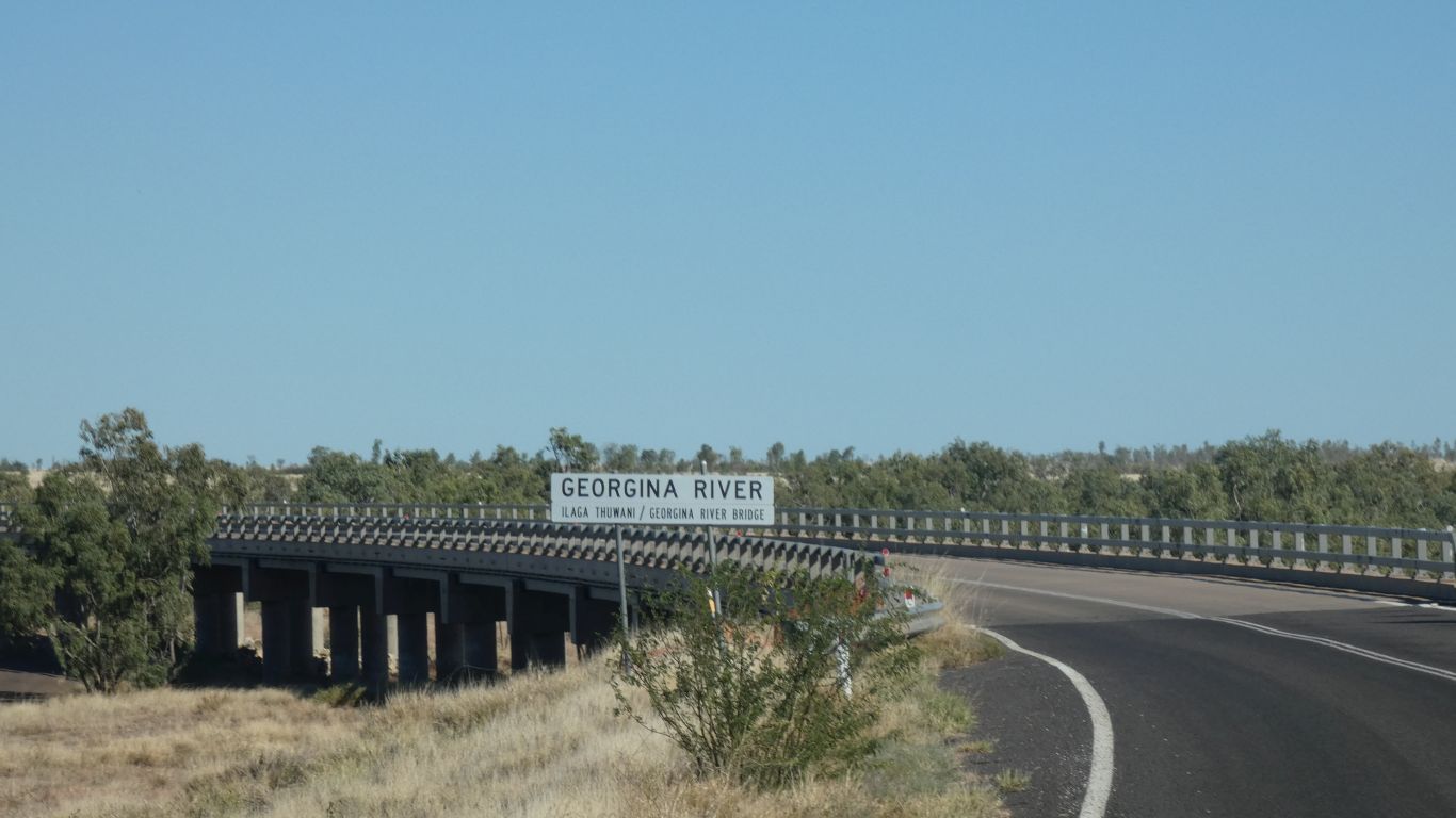
Having observed the Chinese standardising bridge building we wonder how many standard straight bridges could be built for the cost of one unique curved one.
We doubt there is any particular reason for its curve, apart from that was how the road was aligned for the old bridge. Probably cheaper to re-align the road.
All the way to the border, and beyond.
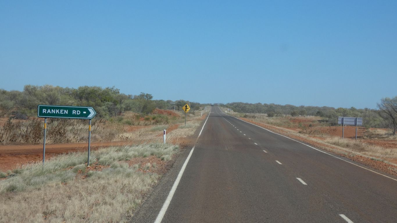
The gravel road to the right that is the Ranken Road that is.
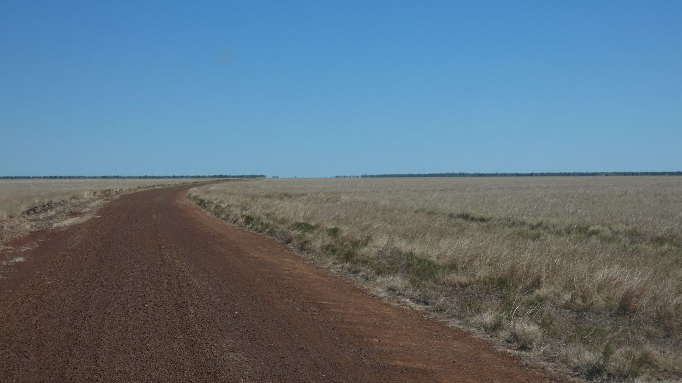
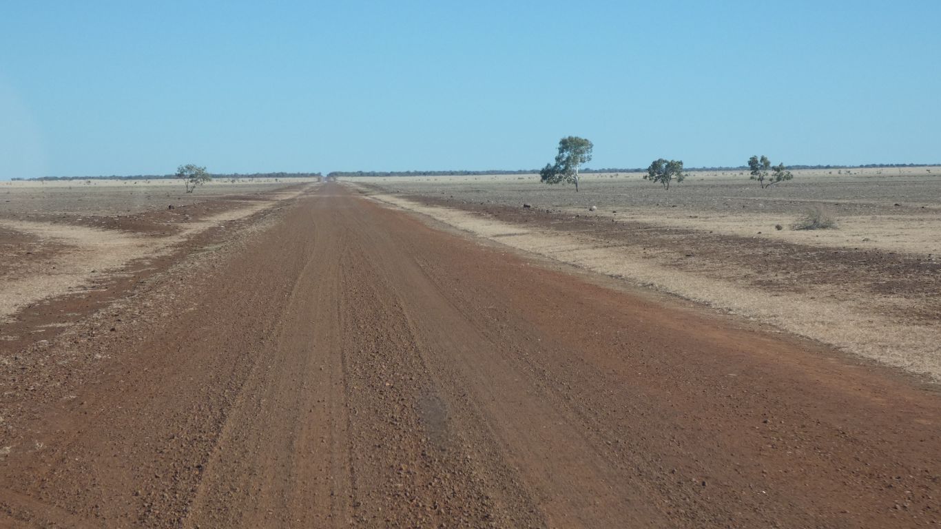
We generally prefer gravel roads, and even better, tracks. We seem to see more.
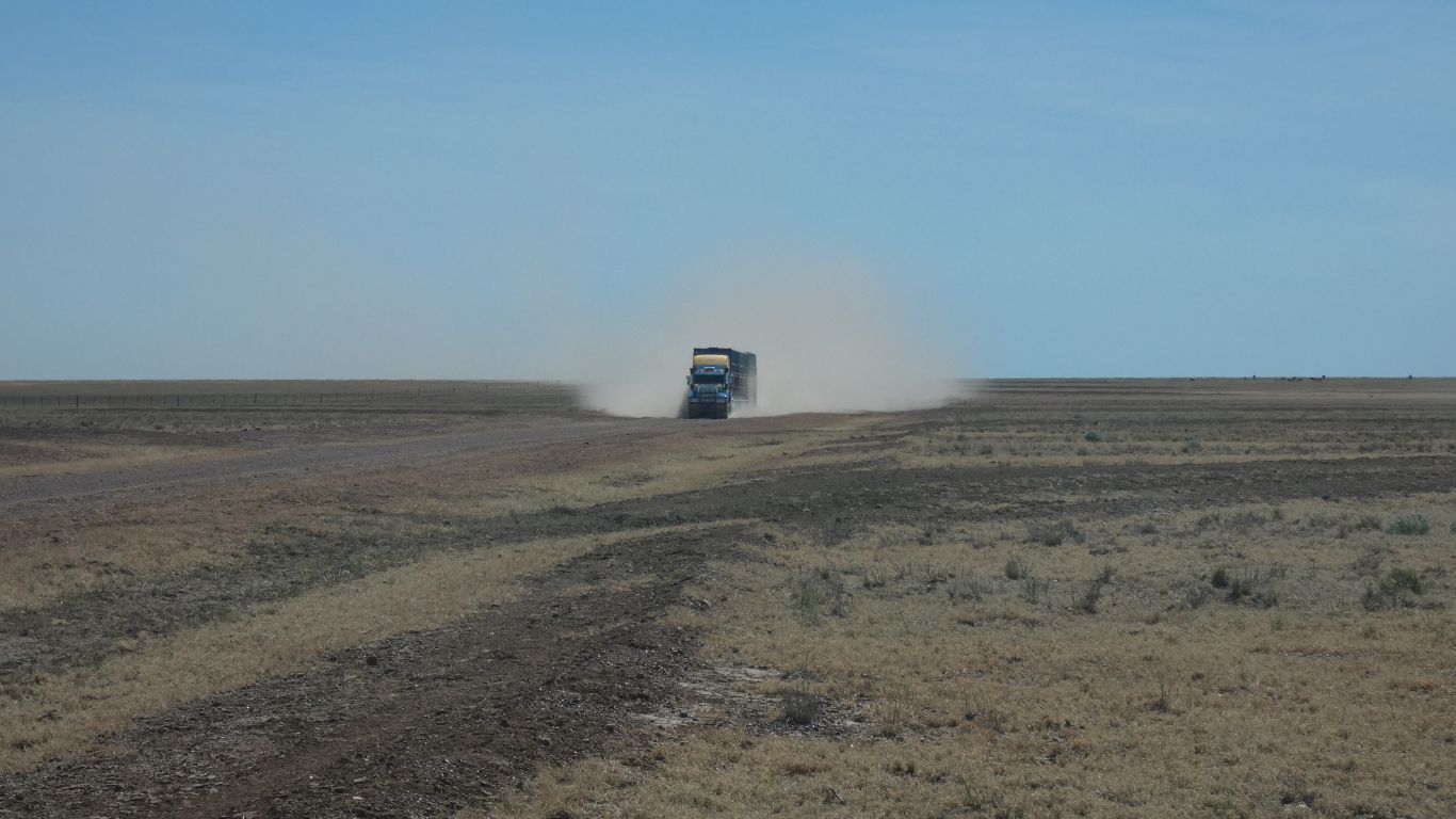
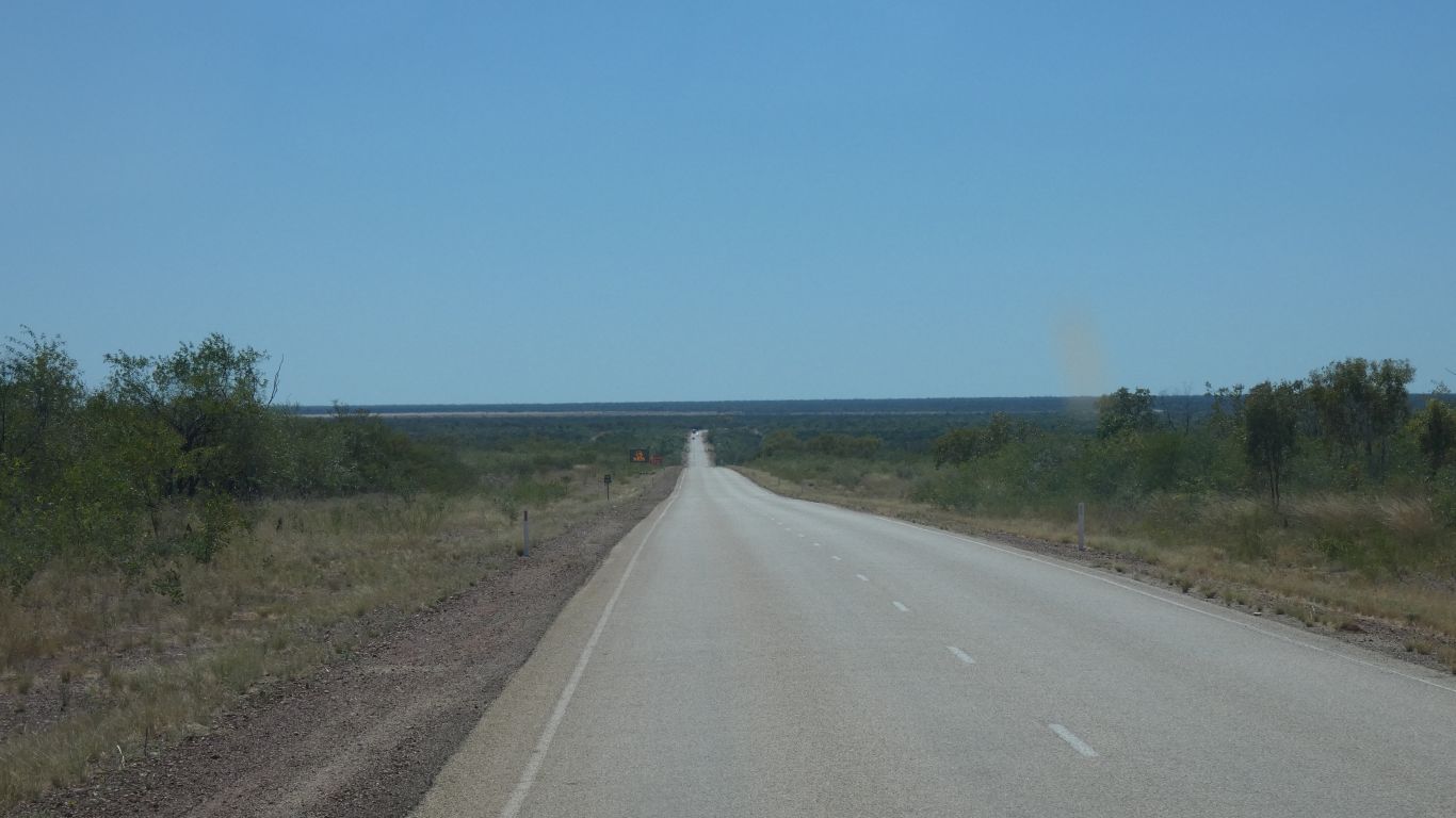
There were 5 road trains in total. Spaced a few km apart. First one warned us of the other four.
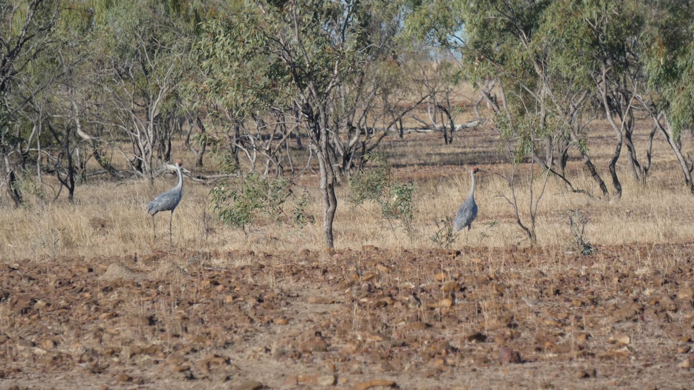
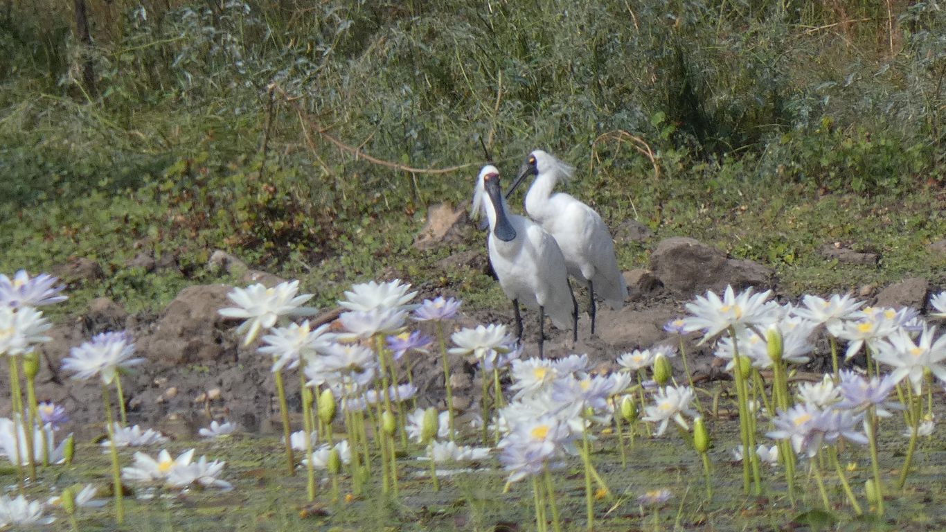
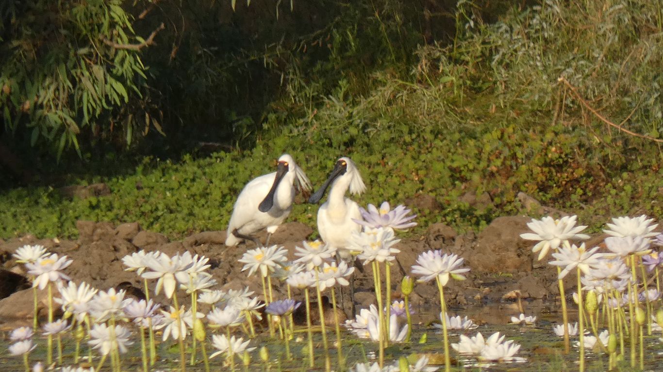
Welcomed by a couple of brolgas.
That promptly flew away, with an indignant squawk.
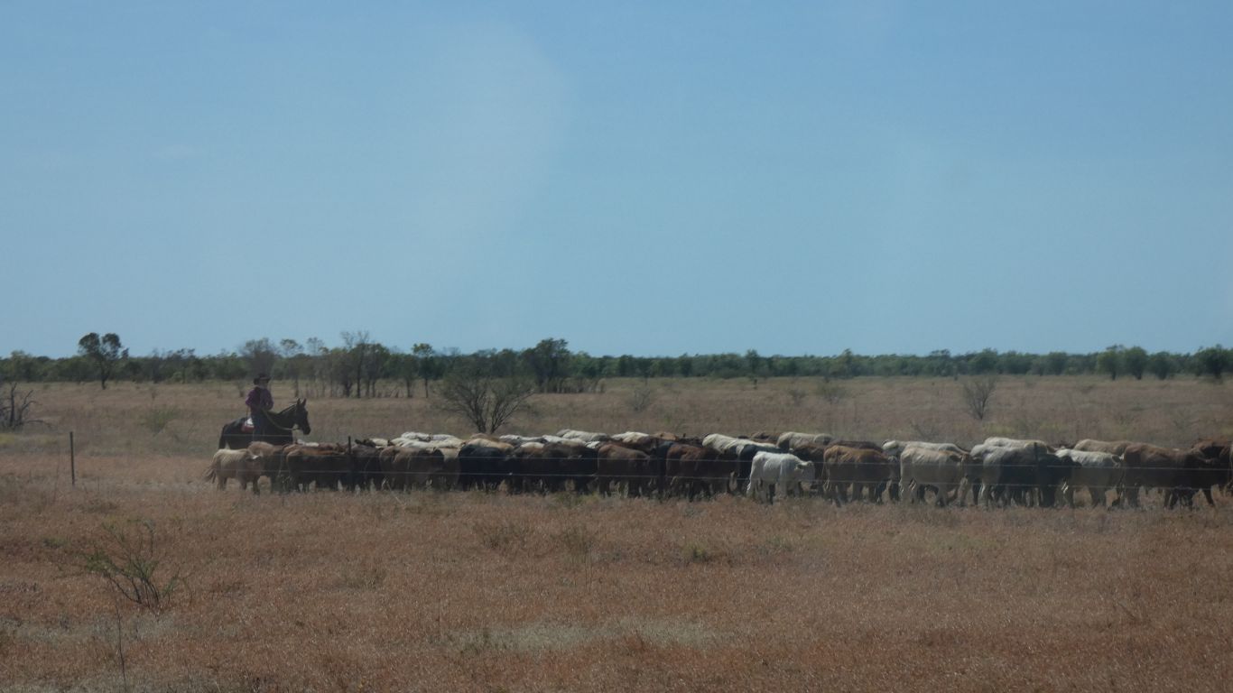
A bit milky from the cattle churning up the fine clay.
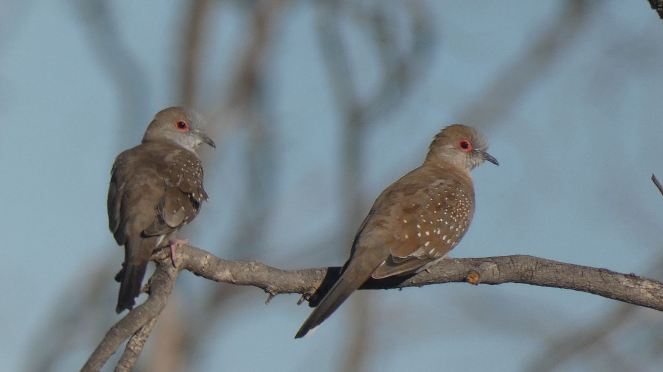
Apart from the brolgas a couple of diamond doves.
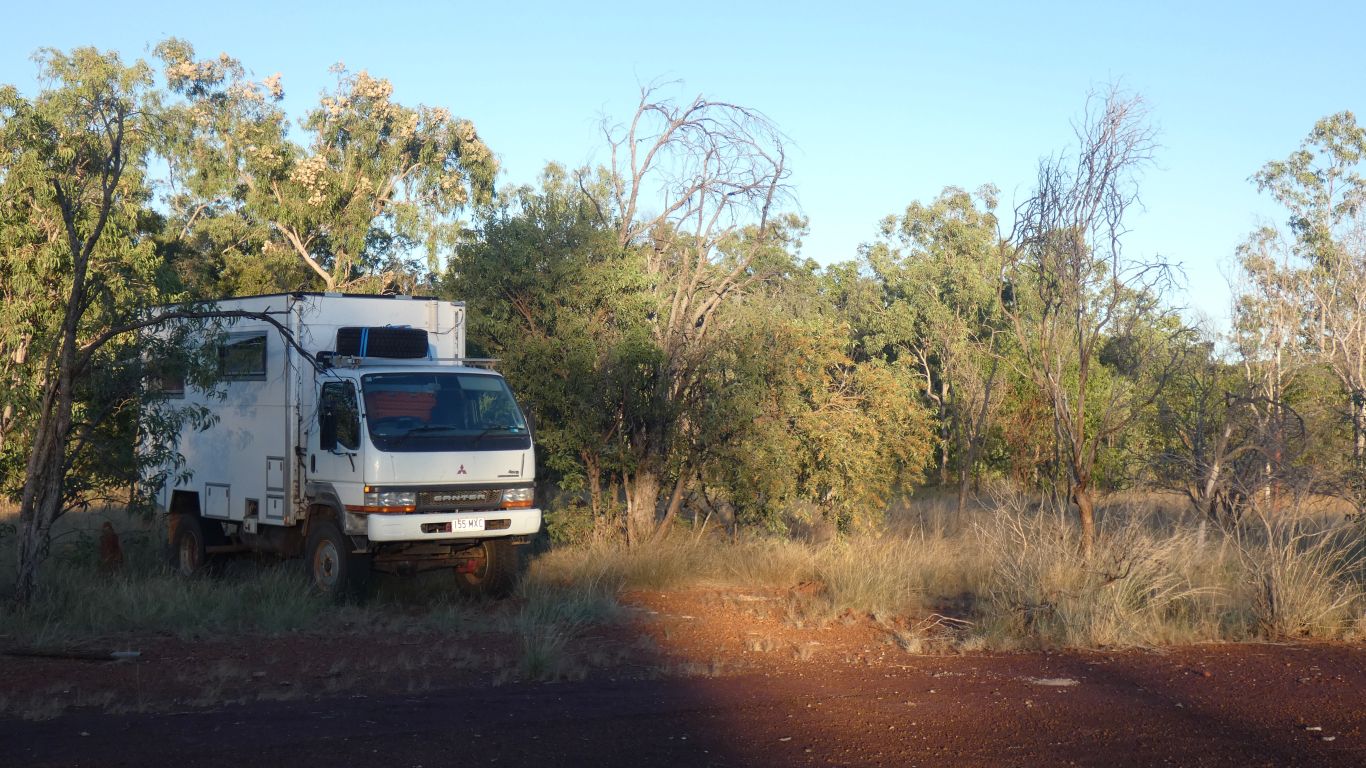
This camp is not suitable as a high end tourist destination. More an overnighter - it looked better in the dark.
Memorable is the wind and the flies.
But also the peace and quiet of the bush.
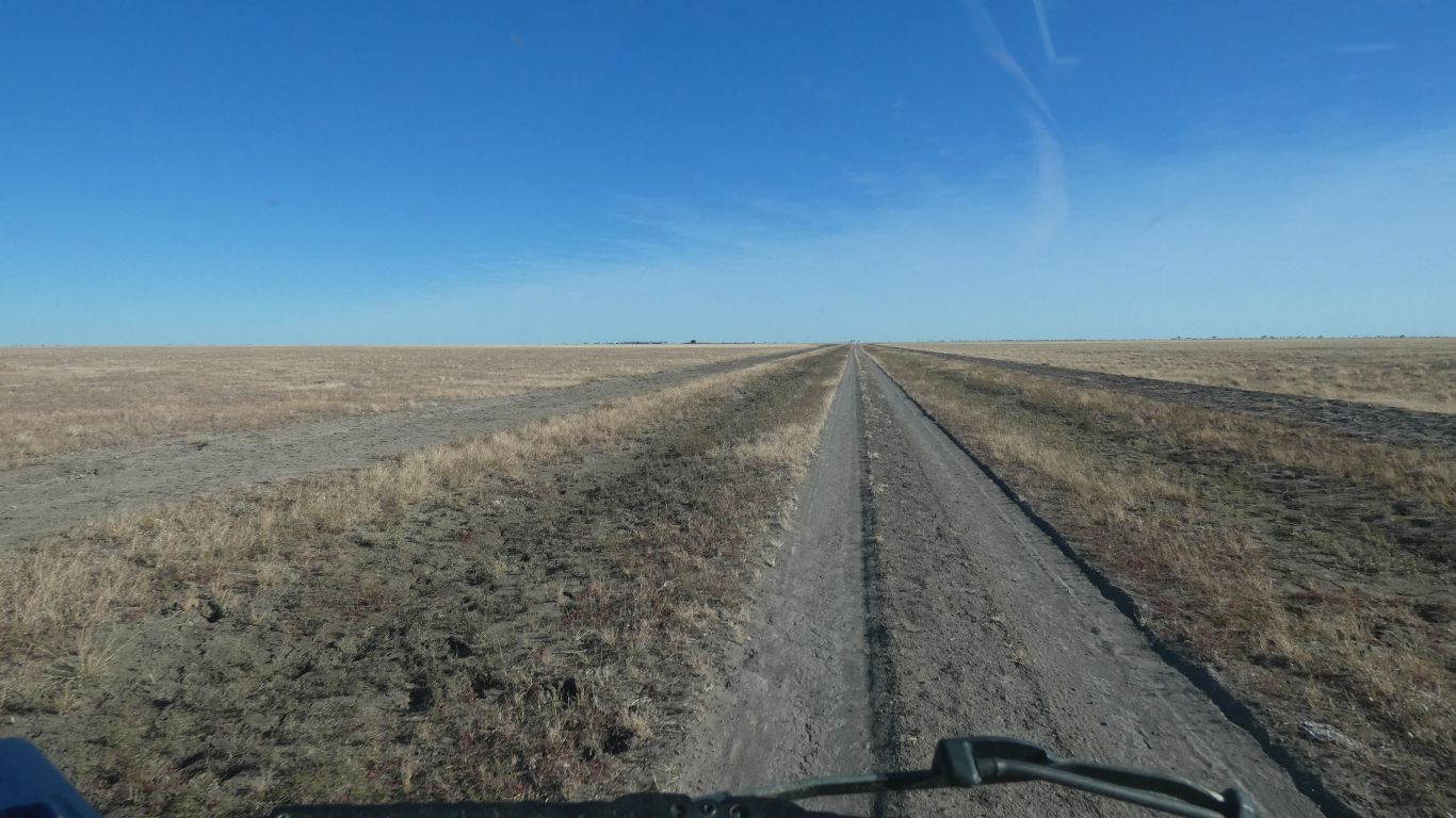
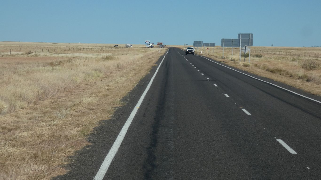
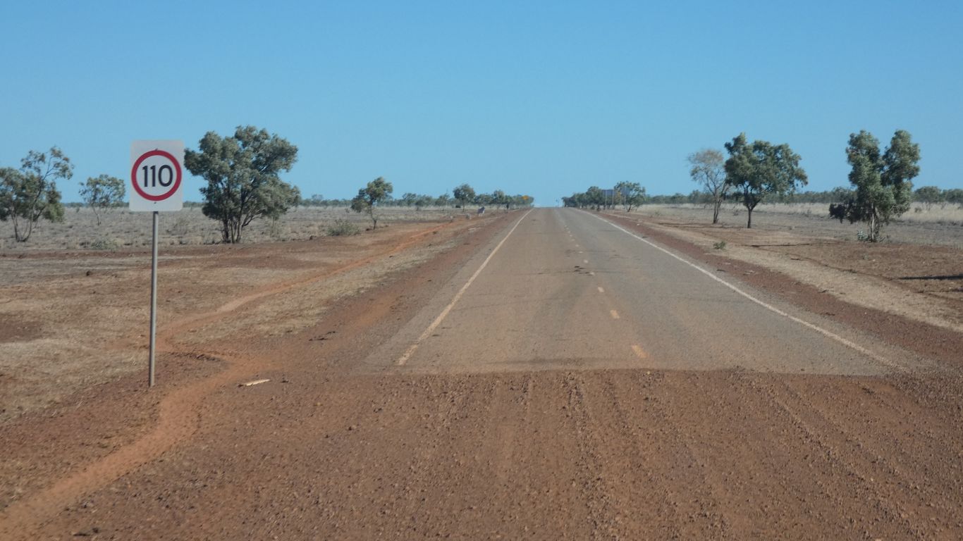
We were able to maintain a steady 70-80km/hr with very few interruptions from grids, dips, washouts and corrugations.
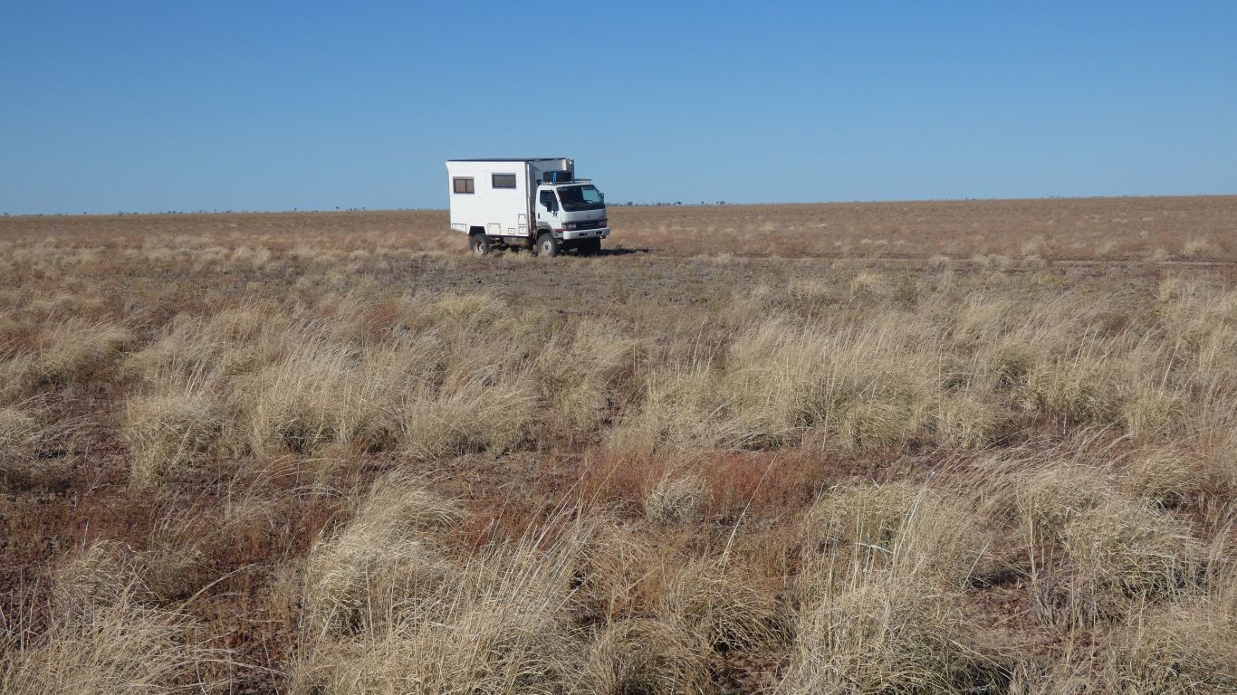
26,000 ha reserve, originally for cattle on the stock routes between Kimberley and Queensland.
Once road transport took over carrying cattle in the 1960's it was turned into a reserve. Mitchell grass covers a large part of north east Australia. But mostly cattle country where the habitat is heavily modified. We wanted to see what the Barkly Tablelands may have looked like pre-cattle.
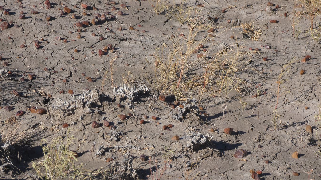
Just inside the reserve we were more than a tad disappointed as we tried to make sense of the long dead tussocks.
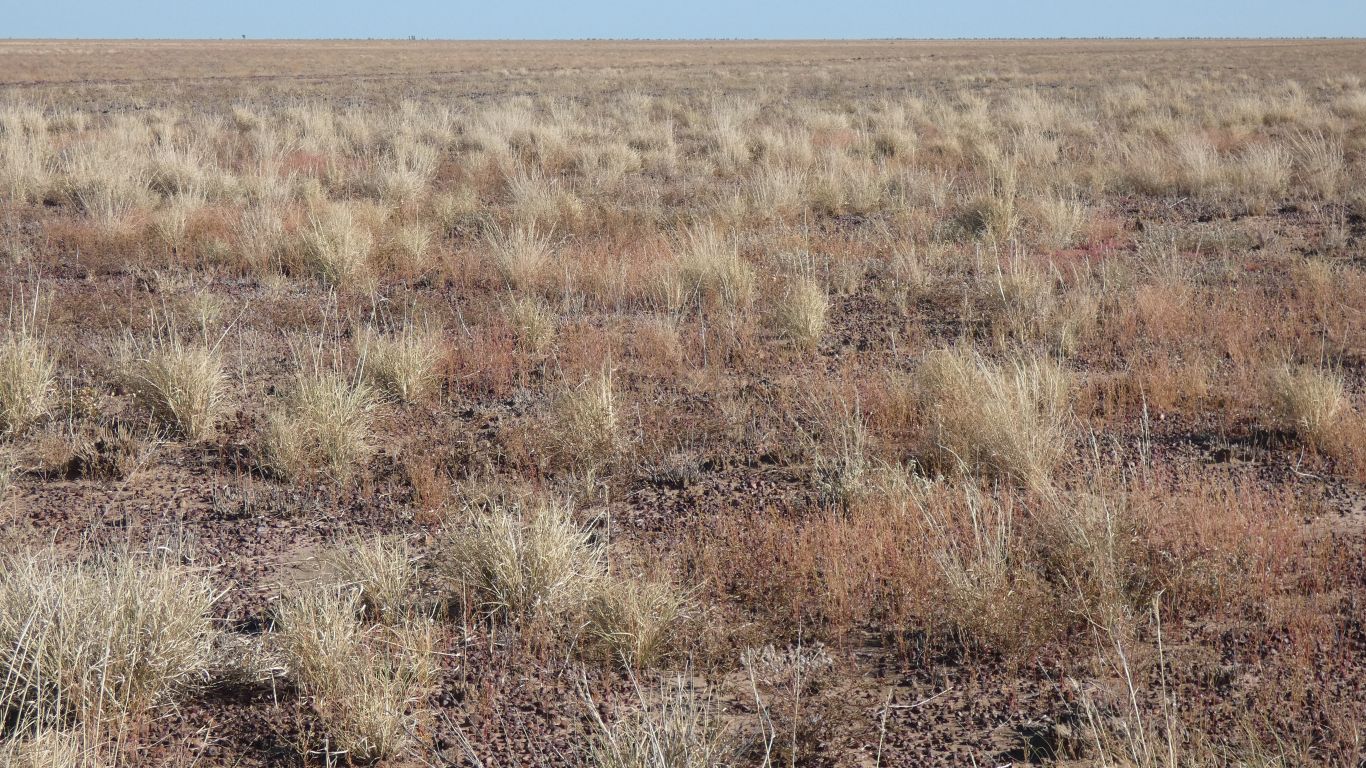
Mitchell Grass accounts for about 11%, 570,000 sq km, of Australia's arid lands.
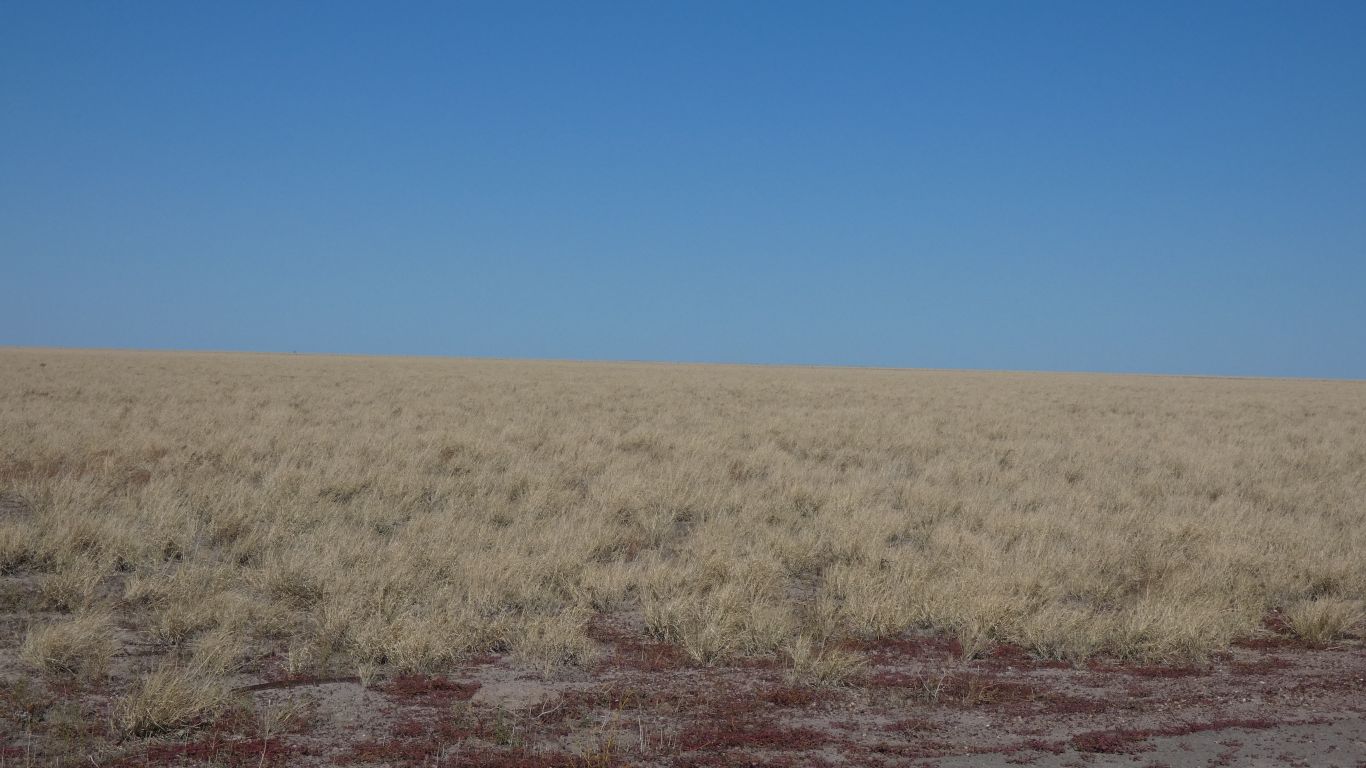
There are three types of Mitchell Grass. We see one.
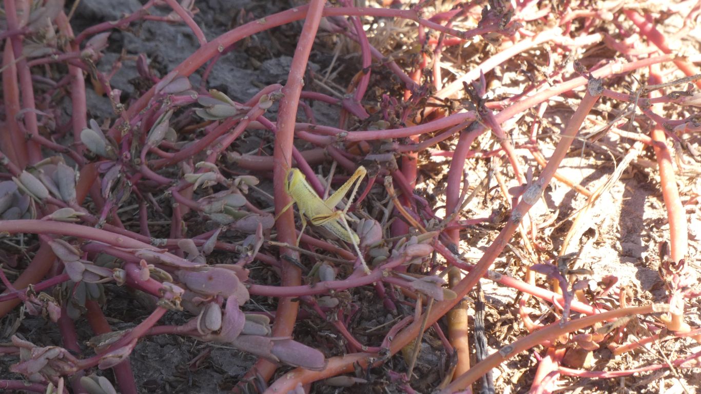
We disturb half a dozen quails, notice the occasional bird flying up out of the grass and descending, to hide, before cameras can work.
We have no doubt the grass hides a plethora of living things that may not be so prolific where cattle graze.
Included, would be the stripe faced dunnart - mouse sized marsupial. They hide in the cracks in dried black clay soils during the day, and hunt insects at night.
Forgot to mention - we saw one live in the visitor's centre in Muttaburra. It kept us entertained with erratic, fast, movements about its cage. Delightful comes to mind. Too dark to take a pic.
Apparently enjoyed by bustards.
We also missed the flock bronzewings.
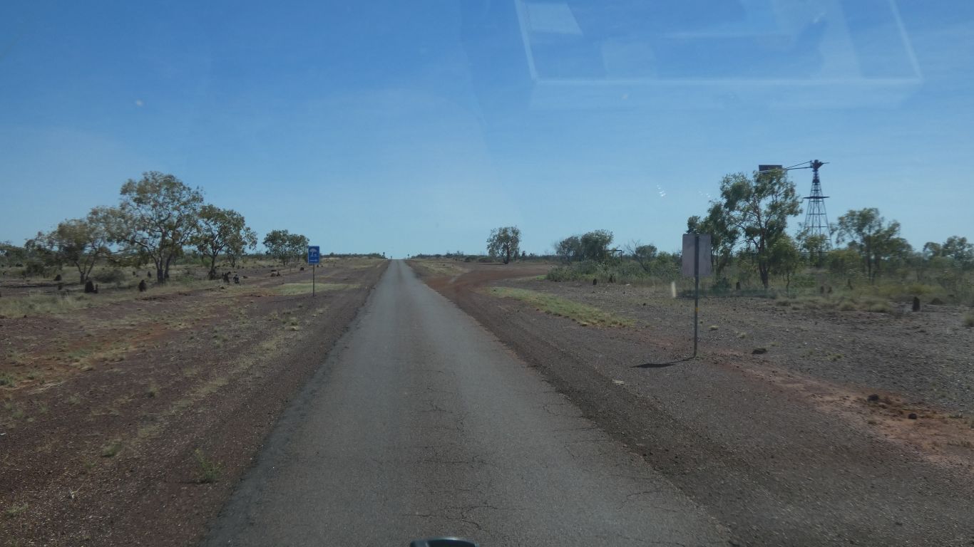
A single width of tar seal. With only a couple of vehicles to pass in about 80 km.
The road reports say "4wd only" and "slippery".
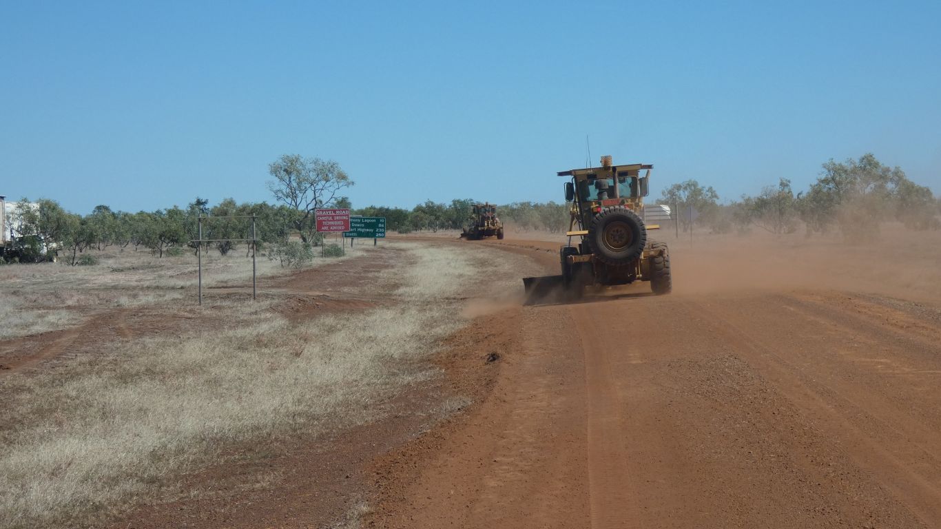
The first thing we encounter, within 100m, is a couple of graders.
Just after the roadside grave of Jack Brady, who died on Christmas Day, 1926. I guess part of "the times", his sister "Mrs Whittaker". We have no idea who Jack Brady was, but what a lonely place to be.
We've stopped for the night in a very large scrape / ex road camp.
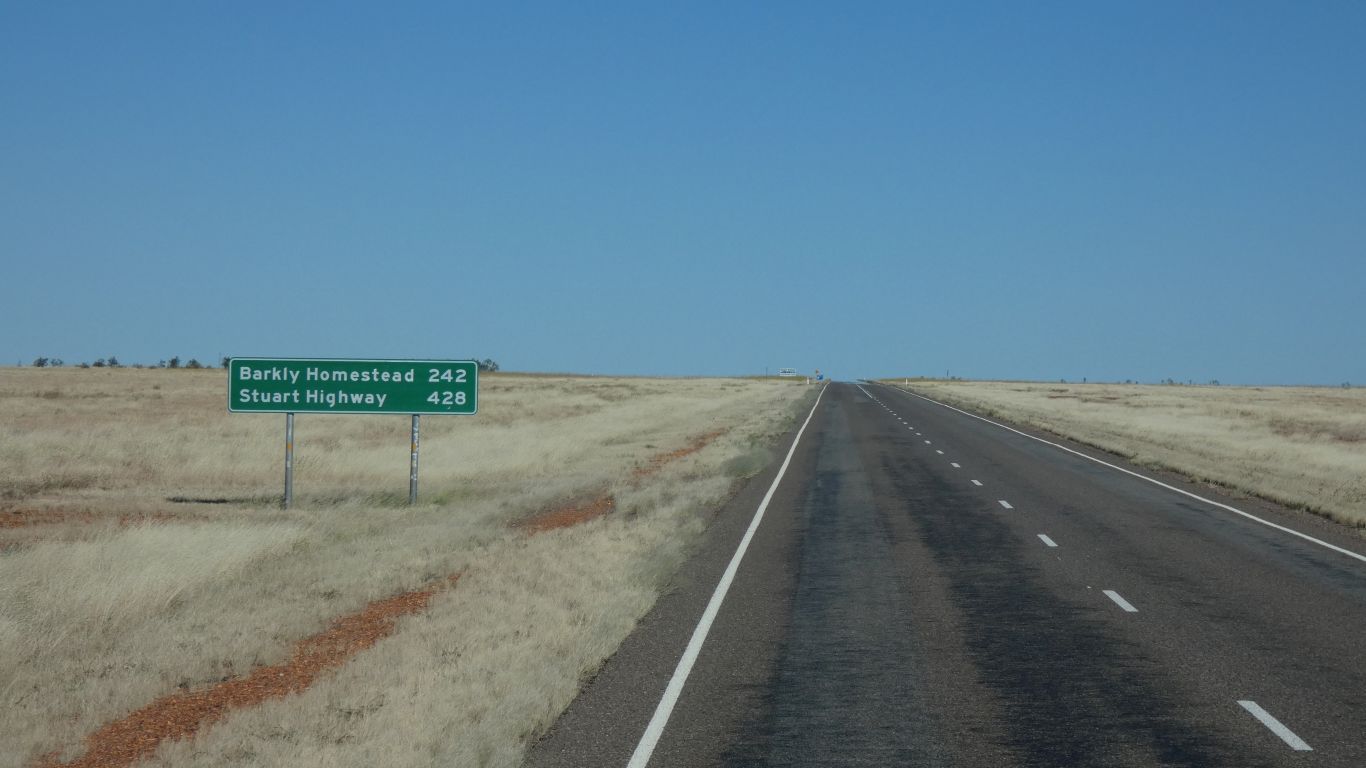
About 100km to the Stuart Highway.
A short dawn chorus from some invisible birds.
Then on the road again.
The Northern Territory road report site says "4WD only". We continue to wonder why. Last week it was "slippery".
We are wondering when the road will deteriorate.
About 30km to the Stuart Highway and part of "Northern Beef Roads Project" is very good quality sealed road.
The landscape becomes more undulating. The trees taller, the grasses different. More variety. Denser. No more black soil. The red of the centre.
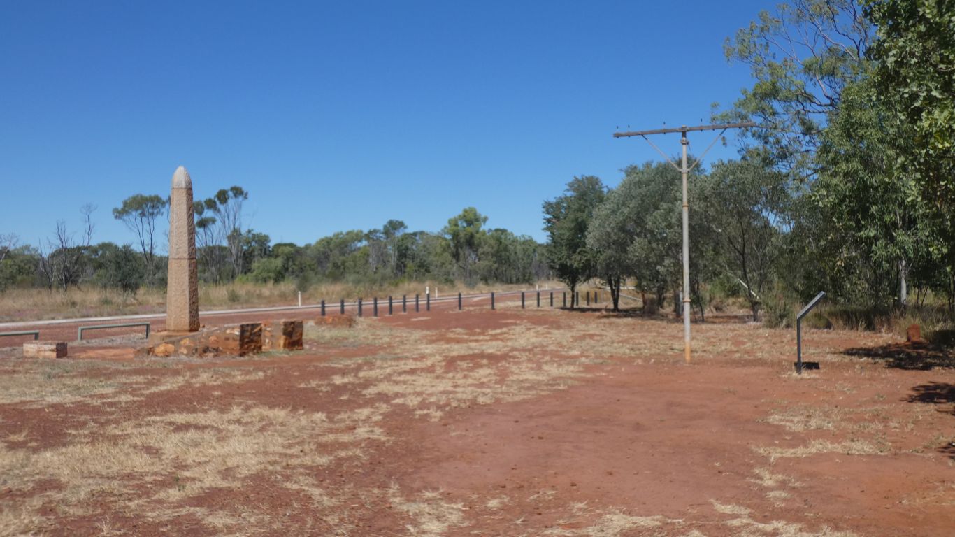
About here is where the wires from the north and the south were joined to give telegraph connection to England in August 1872.
Nitmiluk (Katherine Gorge) next.