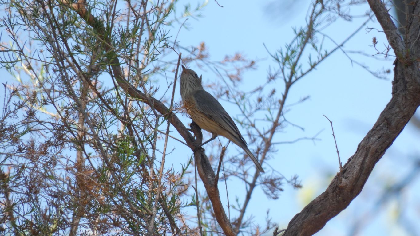
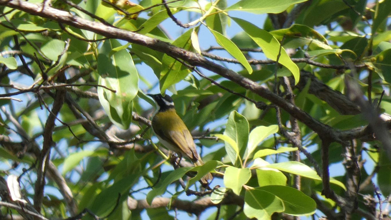
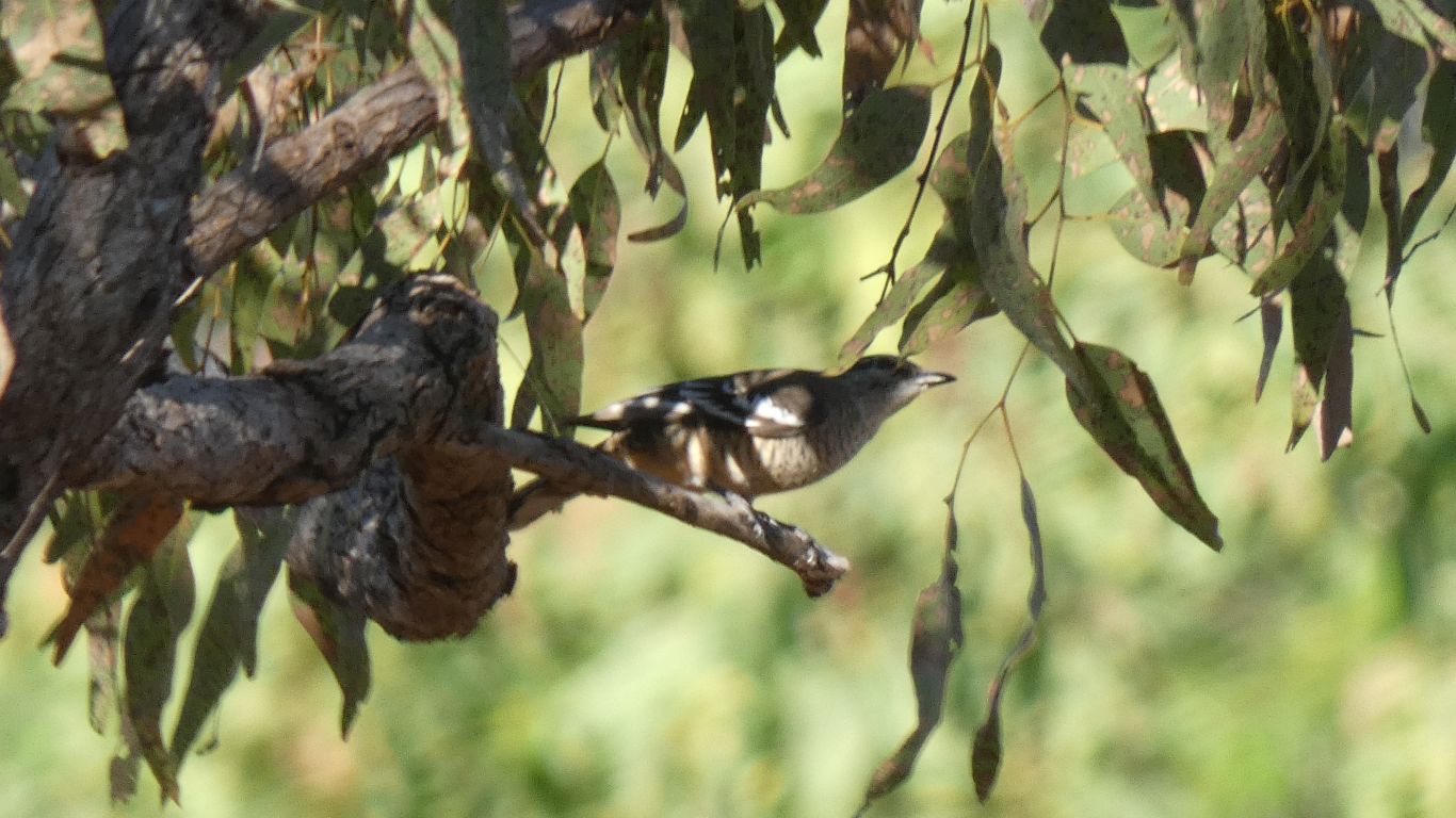
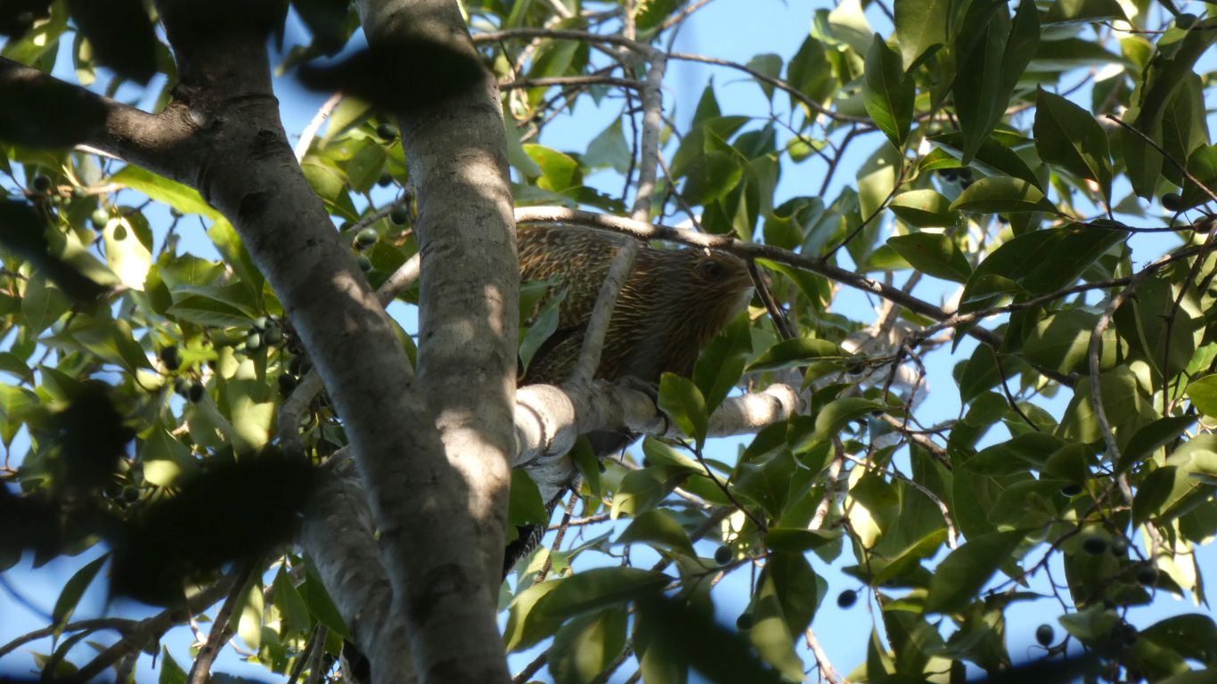
These birds are so small, camouflaged, and fast we see only silhouettes. Until we use the camera or binoculars.
There is only one dump point in the park. At Jabiru.
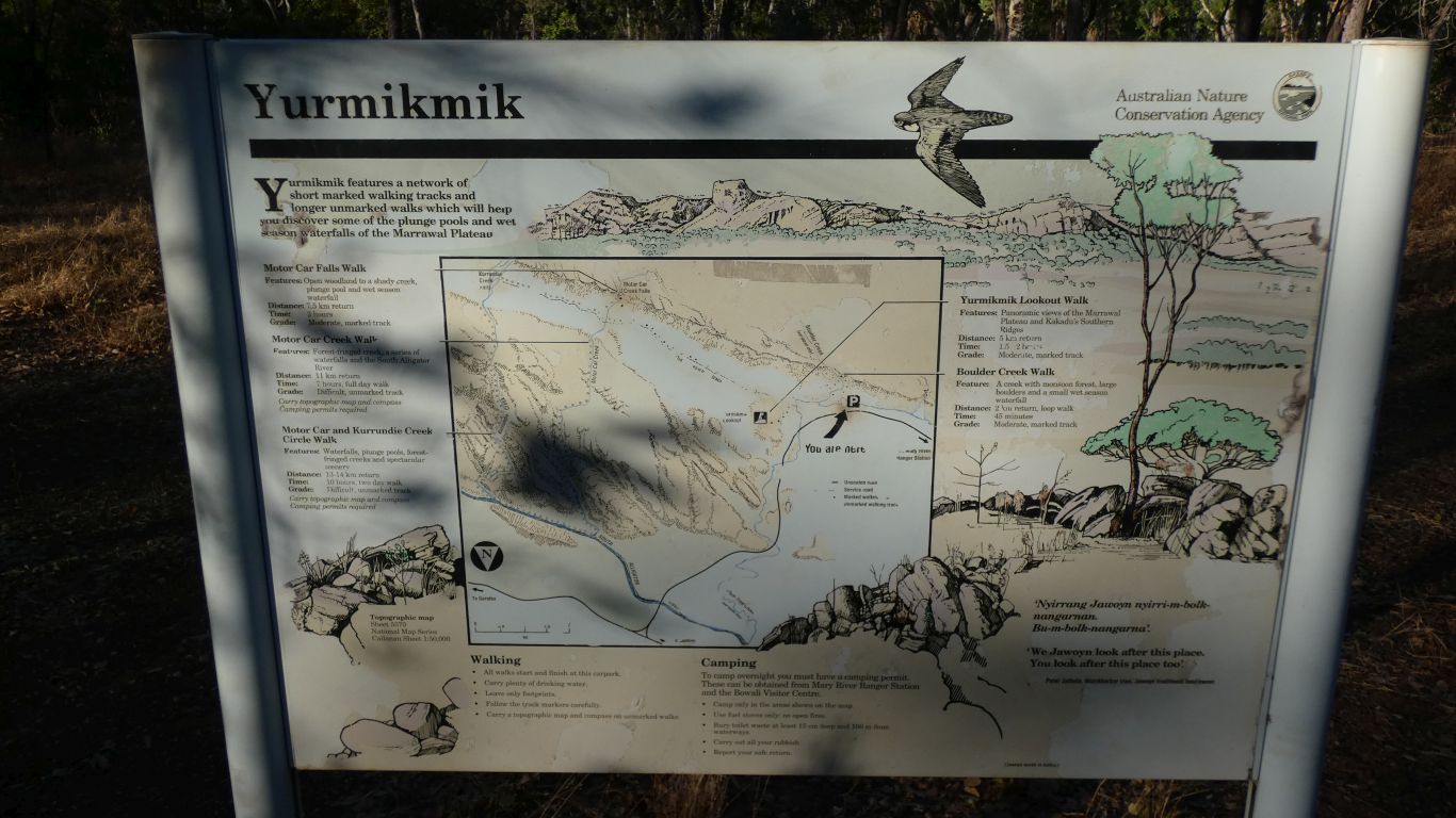
The lookout is Bukbukluk.
Which reminds me of "far lookers", a central African (Chikabanga) name for binoculars.
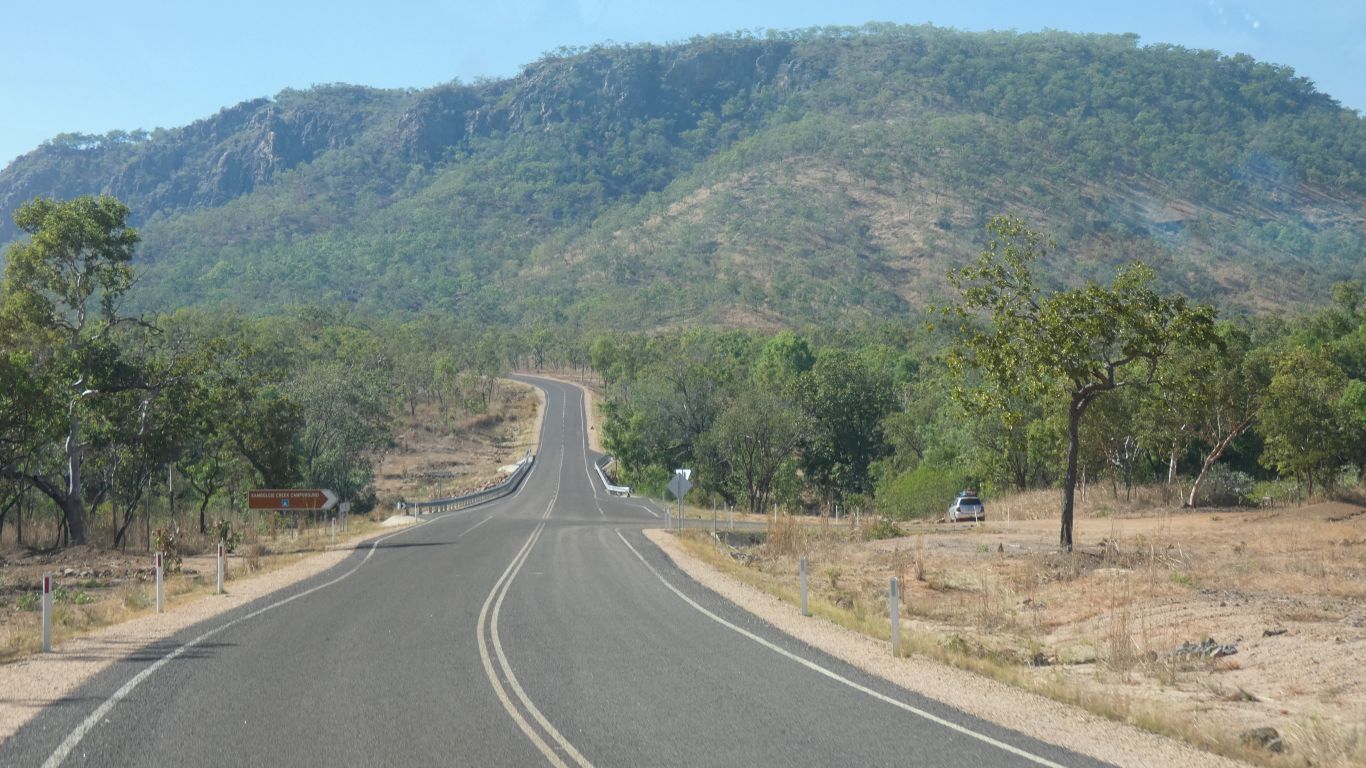
The south alligator river crossing is a raised bridge, well clear of the water, and no gates.
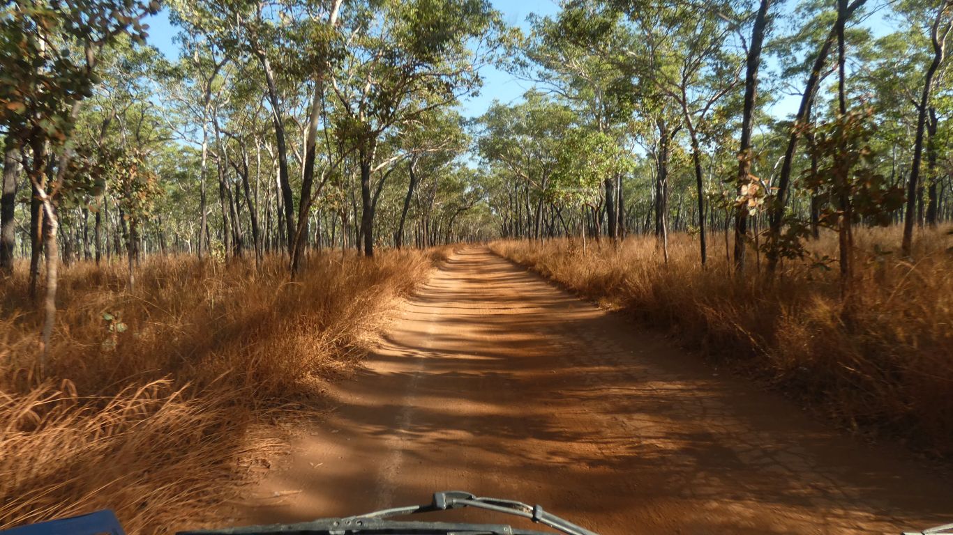
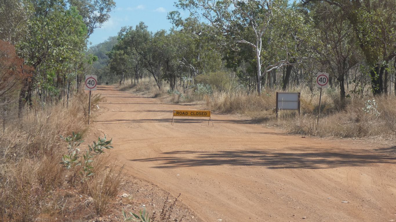
Otherwise the road is gravel, which steadily deteriorates the further we travel.
Patently someone somewhere has a master plan, but something eludes us.
The km or so of seal, completed in 2020, is already showing signs of breaking up, necessitating a "hazard" sign at the far end.
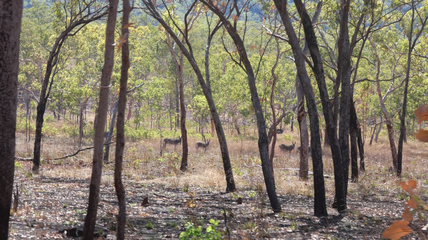
Watched by a small herd of donkeys.
An argument over some stairs and sacred site.
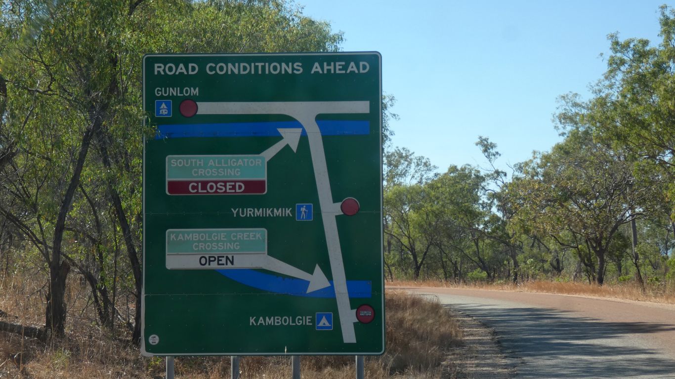
We have seen a mixture of comments on whether the bottom of the falls may be open, and whether the caravan park at the bottom may be open.
Beyond this sign is a locked gate.
We think asbestos, but then again its seems to be underground, and have no way of checking. Later, walking past Motor Car Falls we picked up some greenish stone at an outcrop. And finally we found on internet where someone had described it as Uranium.
A substantial operation, the weighbridge is overgrown along with many other buildings.
Its open. If we had permits we would have picked up a key at Mary River Ranger Station. But, no permits, we decided not to enter.
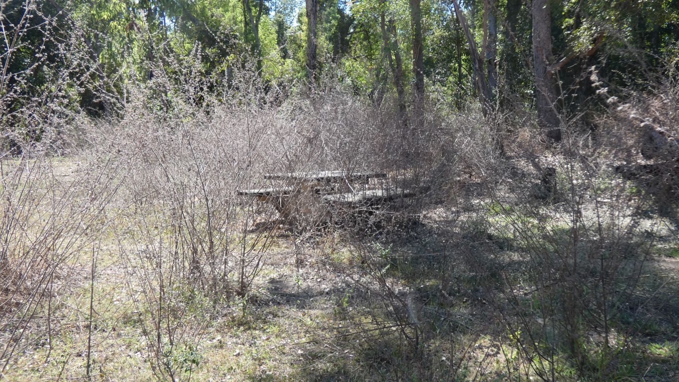
The table is a little overgrown. As is the sign.
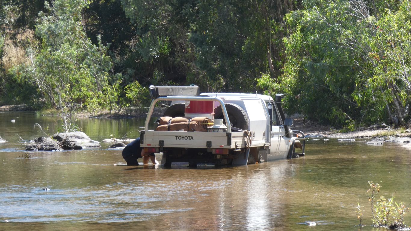
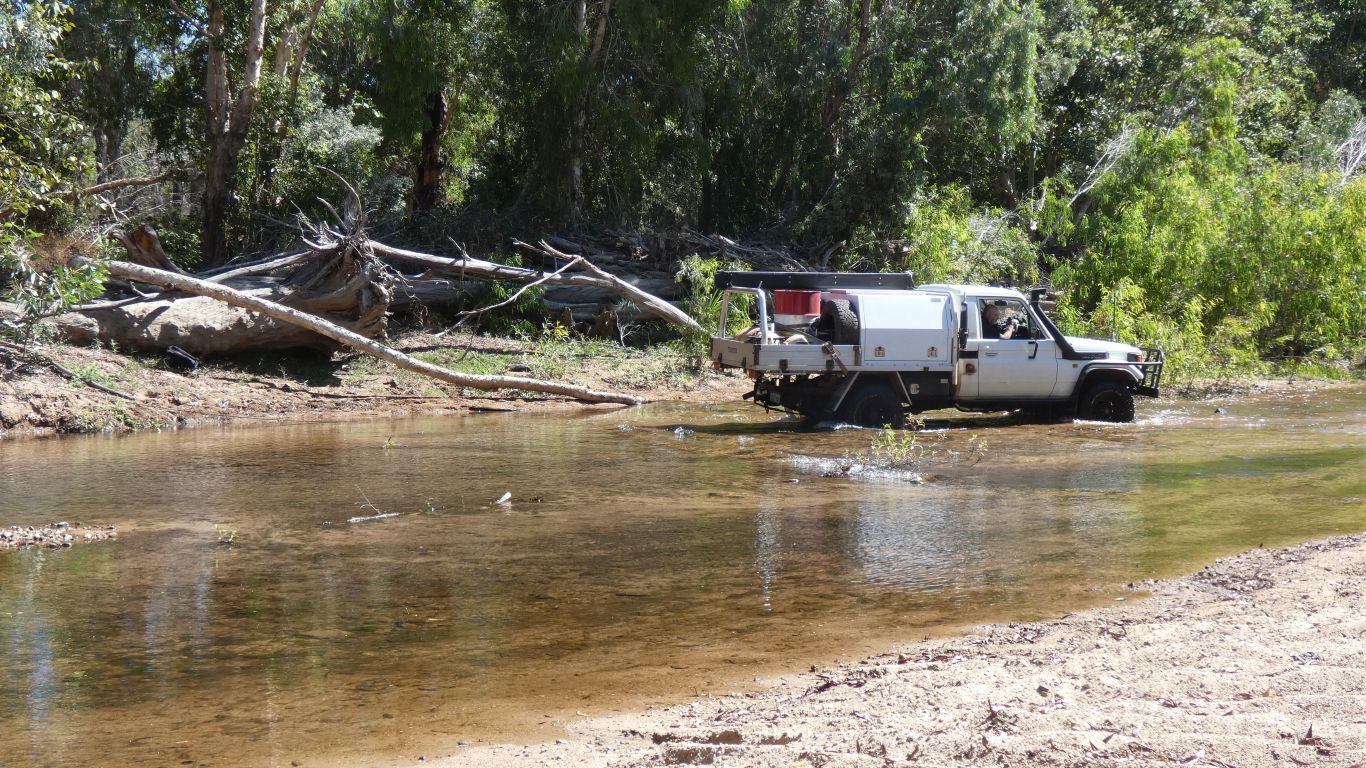
A substantial looking bit of bridge / crossing has long ago been washed out, its now a ford.
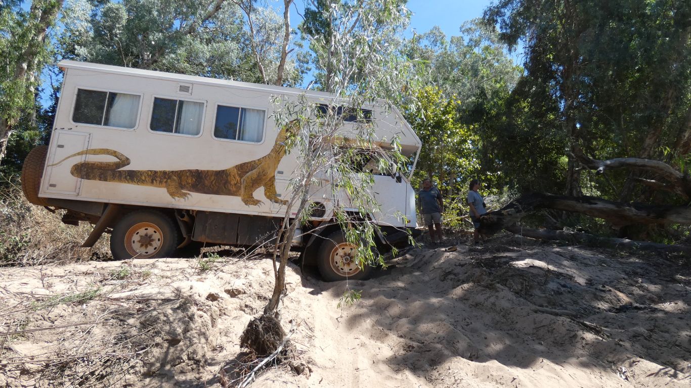
A tree across the exit track, and someone drove down the river towards another exit.
A moments lack of concentration.
Tyres to 4psi was not sufficient to free it. Maxtracks wouldn't locate under the wheels and were spat out.
Winch at the ready.
The winch worked. About 60m of rope and webbing straps.
The Landcruiser popped out onto solid ground.
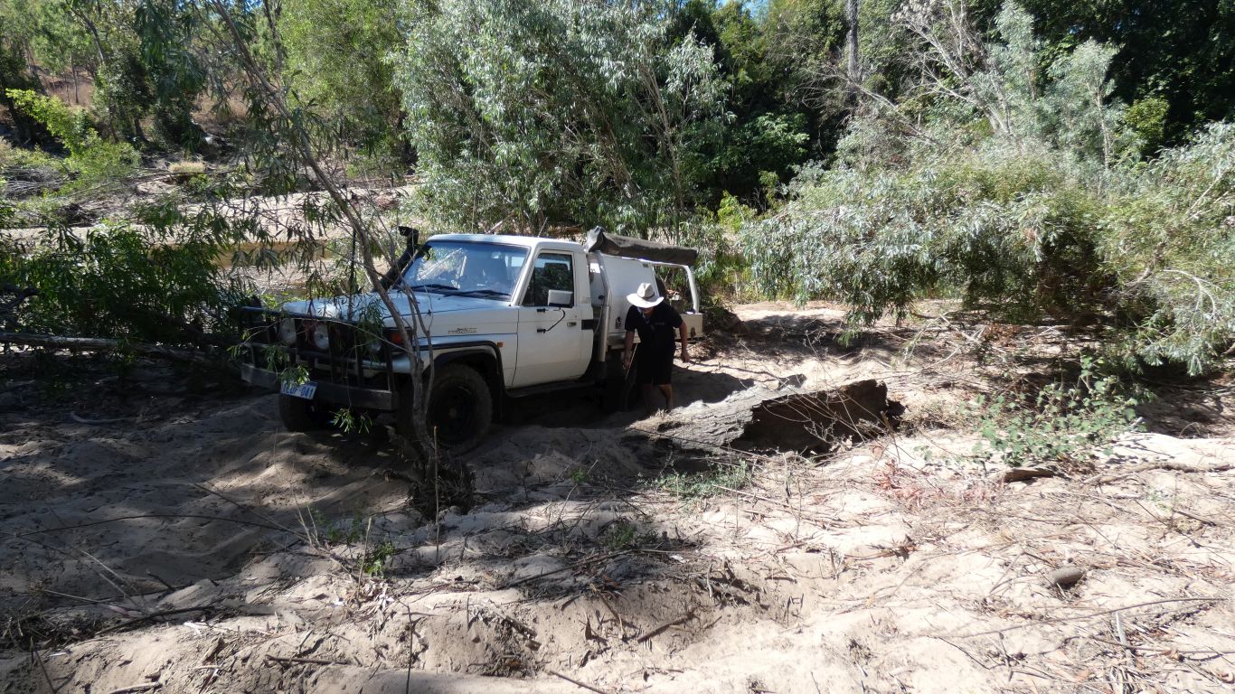
Let some air out again to get up the soft sand.
All's well that ends well.
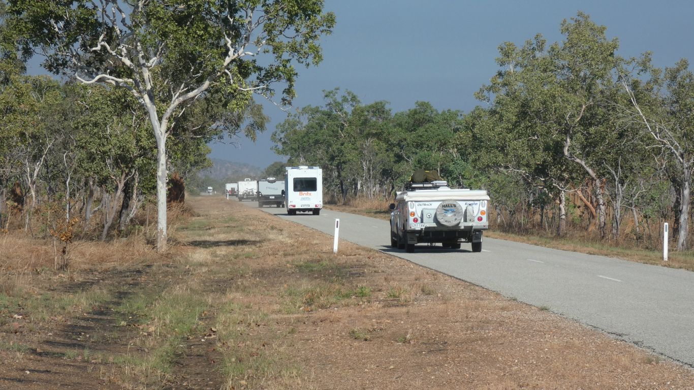
No other traffic.
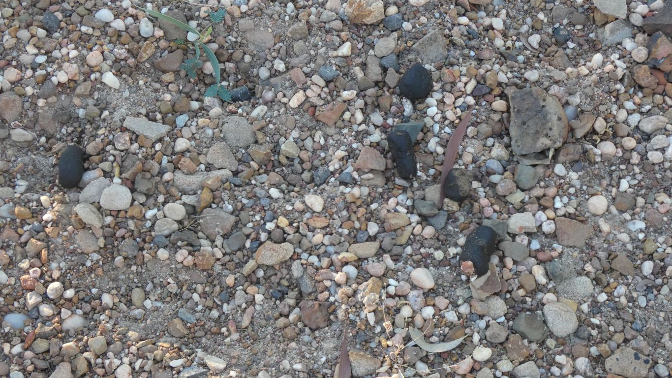
Next to the new bridge, some oversize droppings. Reminiscent of wombat, but too large, and wrong place.
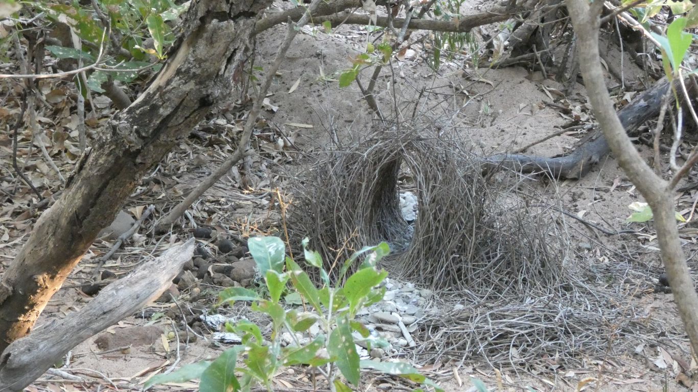
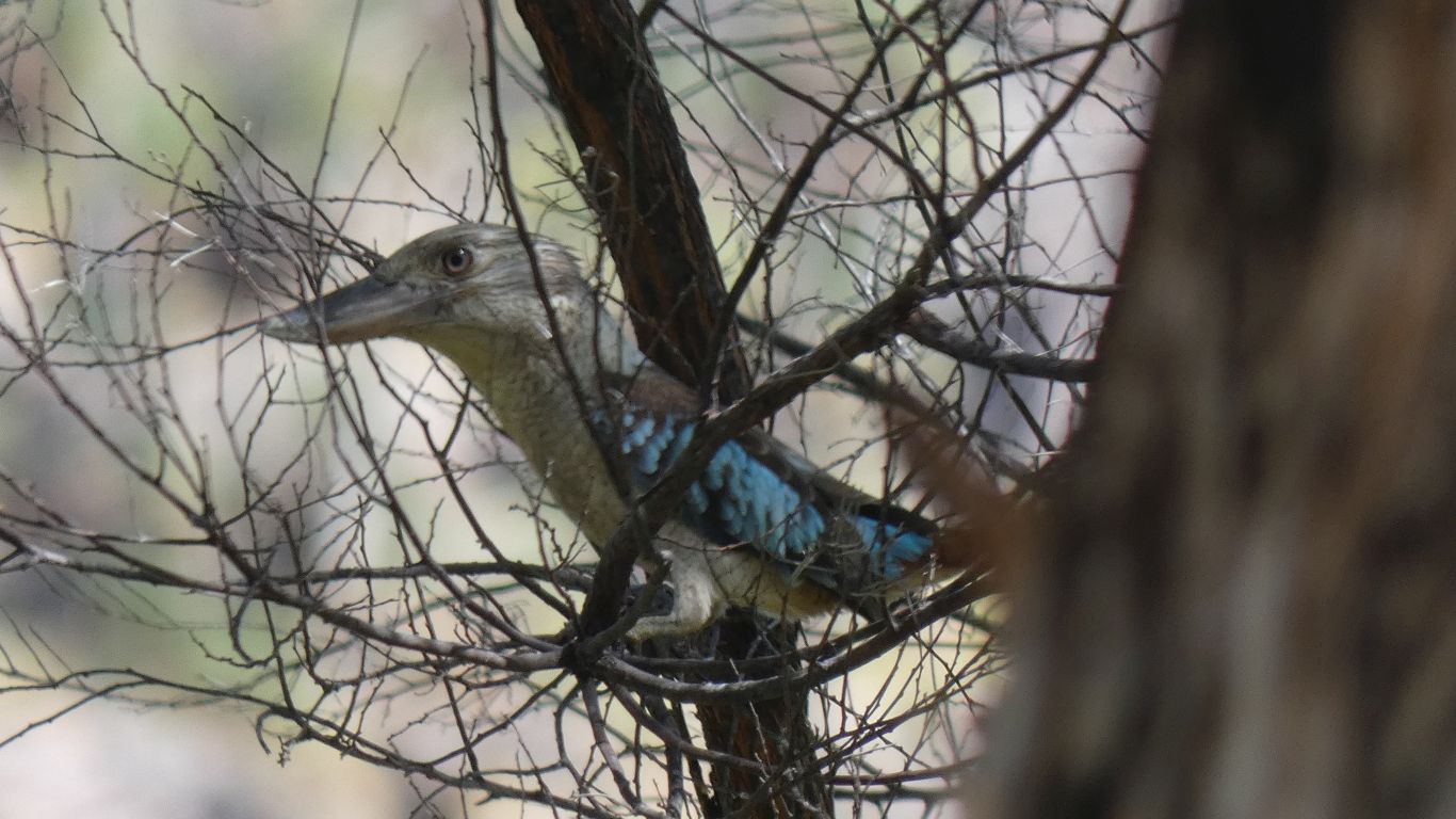
No bird visible, but it looks fresh and active.
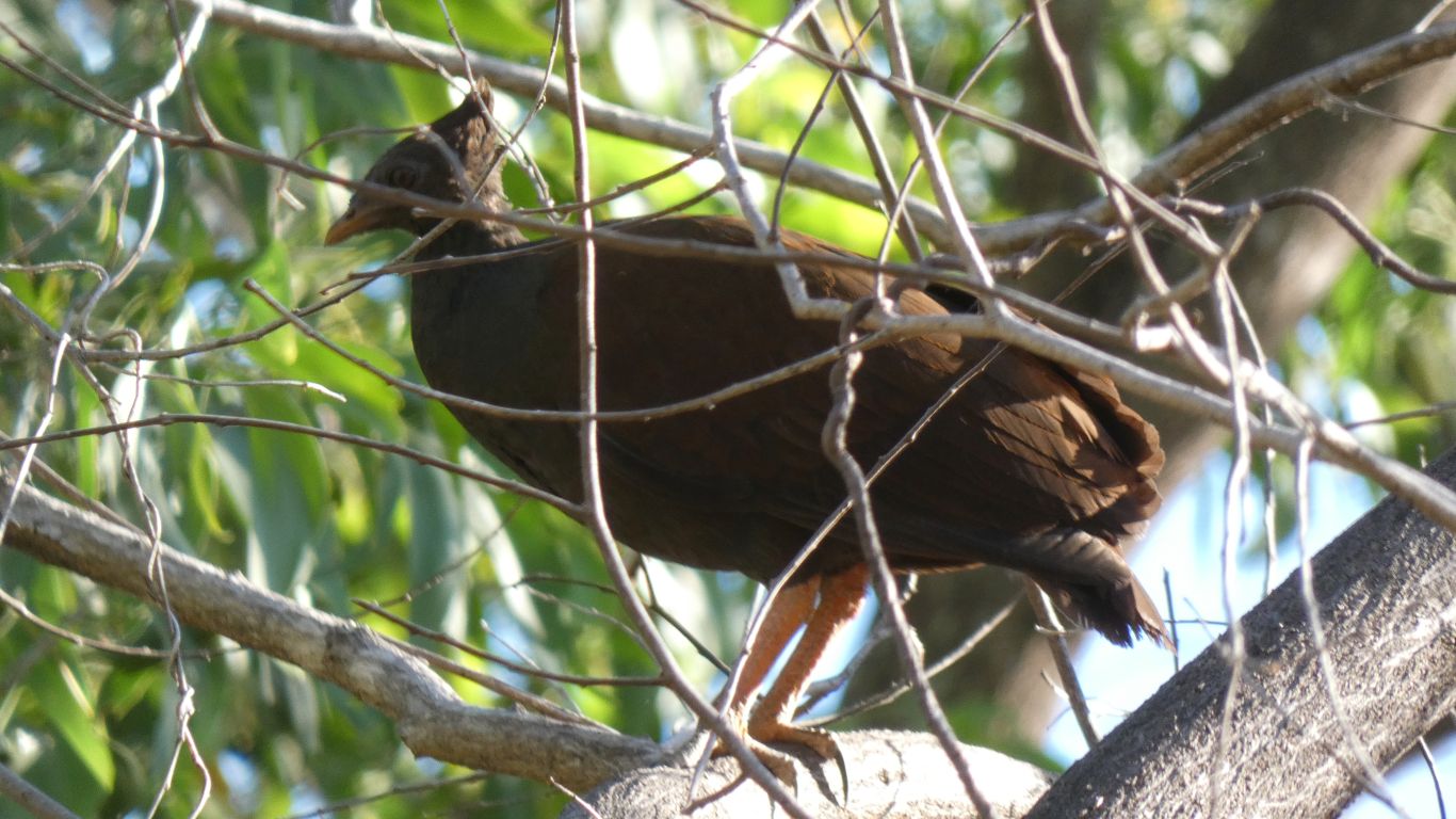
Perhaps I'll pay another visit with more time - don't be late for dinner .....
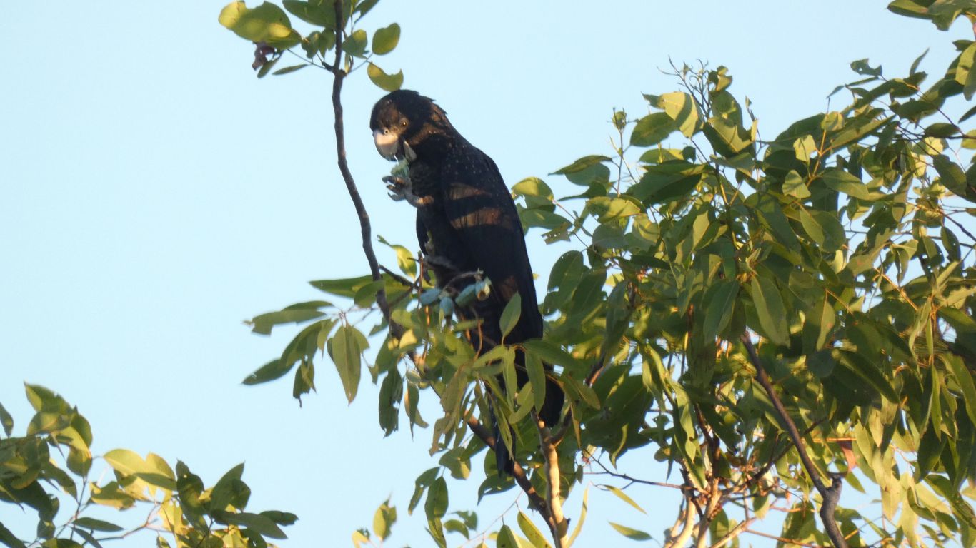
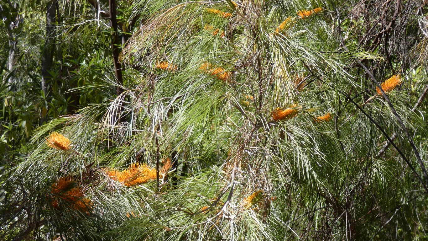
Eating seeds from the gum tree. The old trick of balance on one leg and hold seed with other.
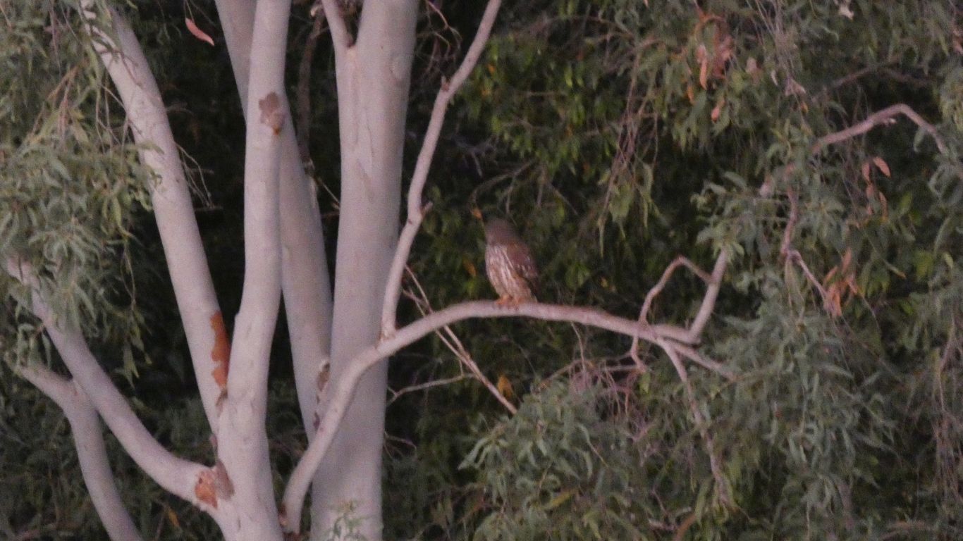
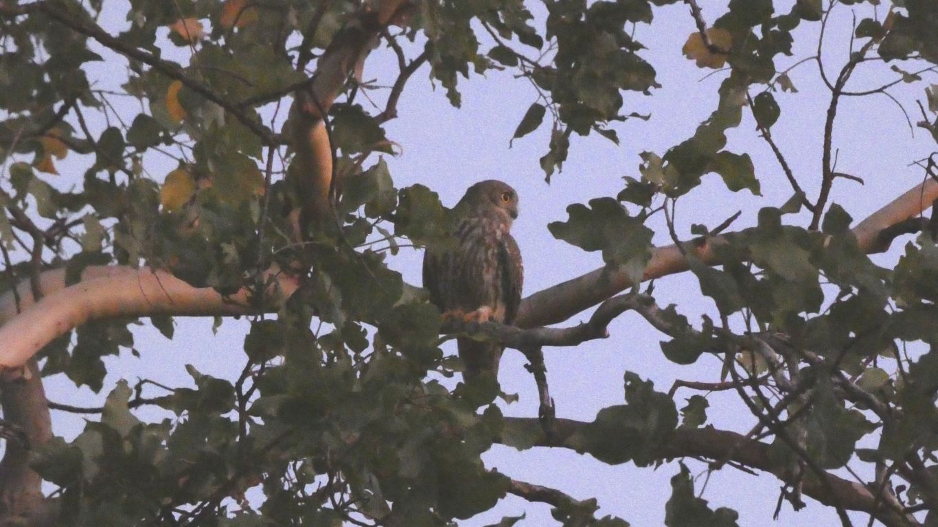
There was barely sufficient light for the camera to focus. A fleeting glimpse of the owl arriving on the edge of the rainforest along the creek. Just enough to remember vaguely where it was and find it with camera and binoculars.
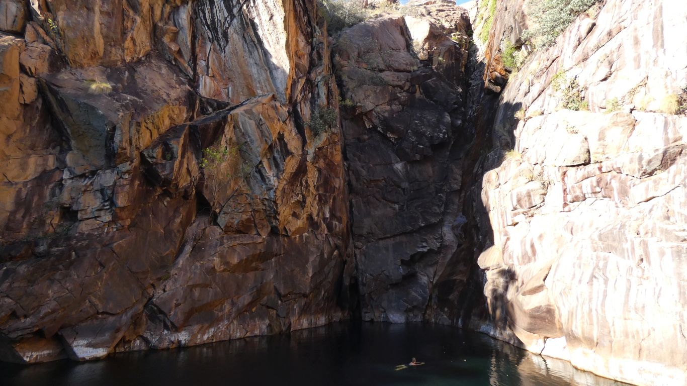
In 1946 someone drove a Cheverolet Car to the falls.
75 years later, today, we will walk nearly 4km to the falls.
"Progress" is an interesting term.
We look at the old sign.
Its continued the practice of north being every which way but up .... we mentally turn the maps to match reality.
We think we prefer the old sign as having more useful information.
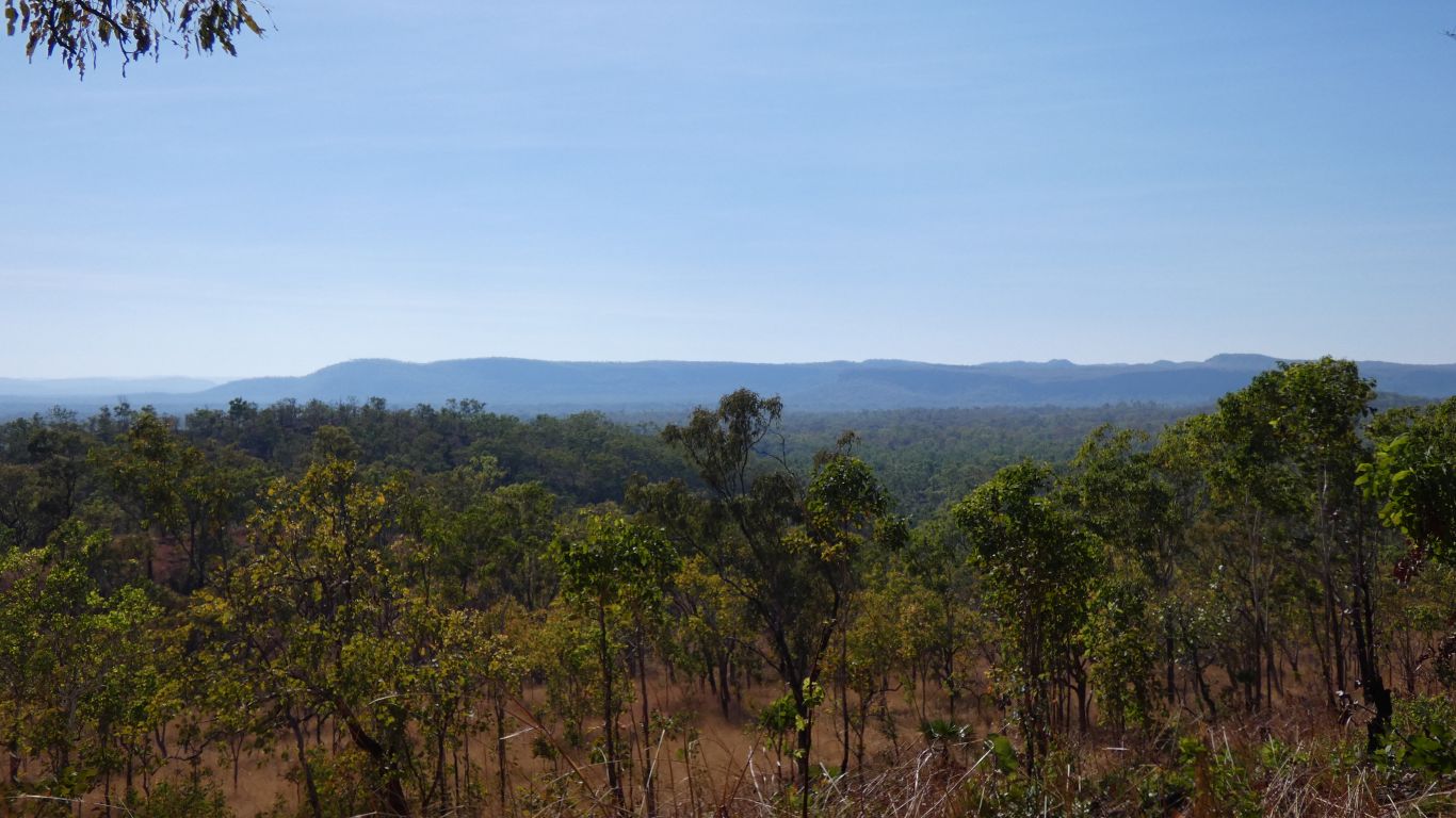
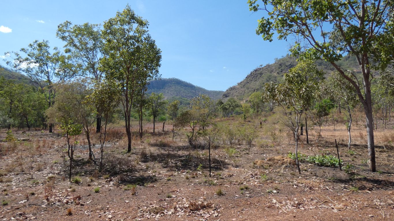
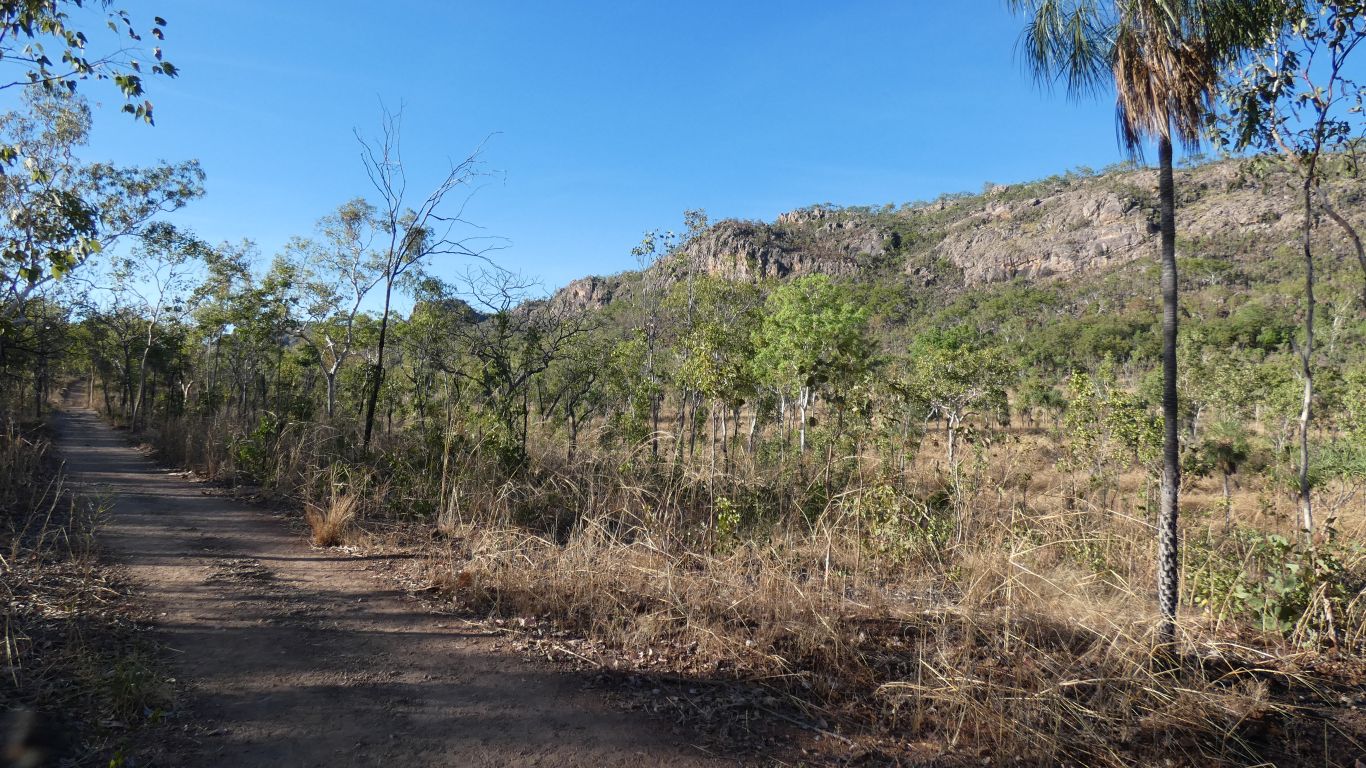
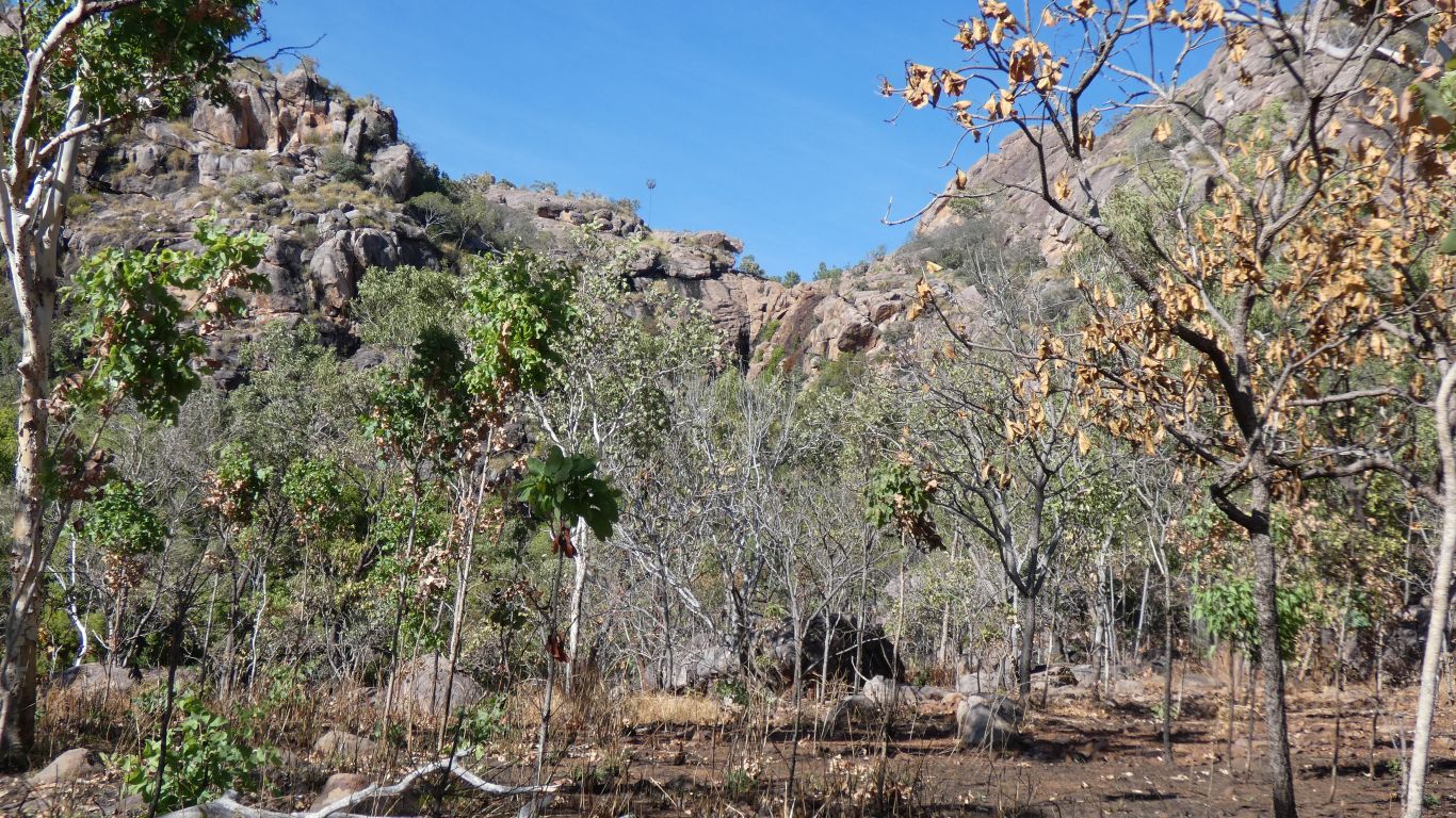
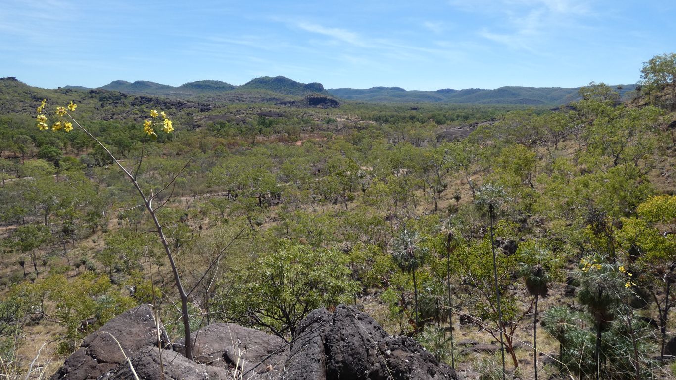
The waterfalls are south of us. Falling off the Marrawal Plateau - perhaps separated from, but part of, the Arnhem Land Plateau, by Katherine and South Alligator Rivers, with a narrow ridge connecting, extending towards Nitmiluk National Park.
If, yesterday, we had continued east past Coronation Hill, instead of turning into Gimblat, we would have followed the South Alligator River almost to its source, then along a ridge to the abandoned Seisbeck and the Katherine River, a long way above the gorge.
If Bukbukluk is where to look for BukBuks, what is a Nitmi?
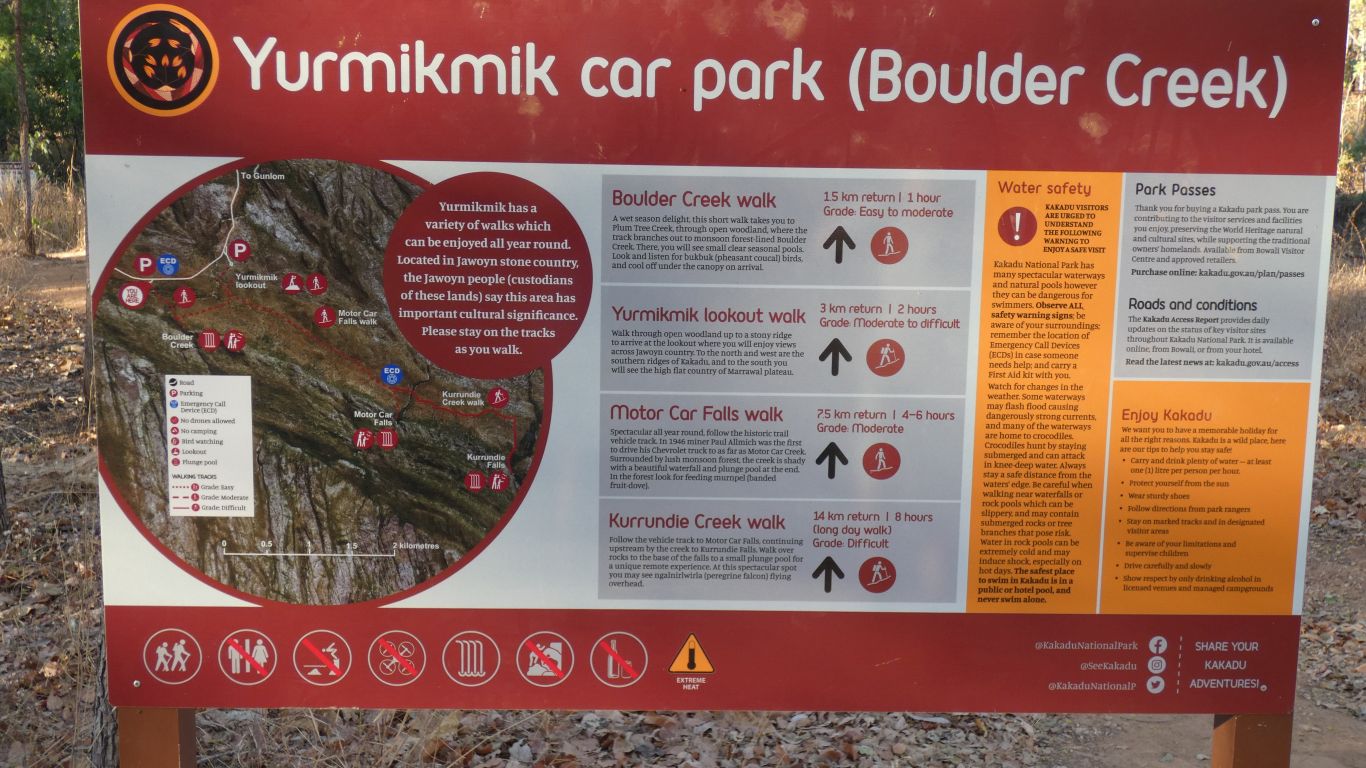
We chose poorly. We should have parked at the other car park and saved ourselves 2km of walking.
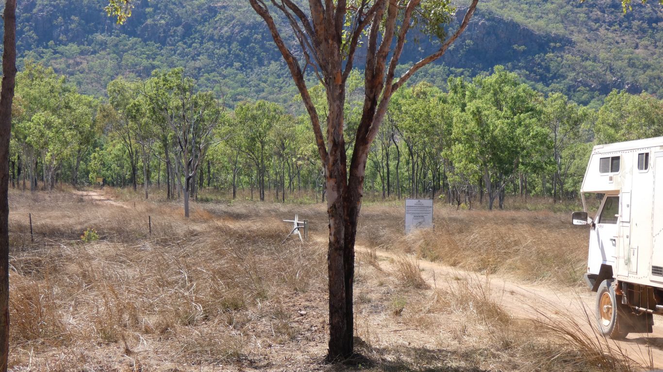
The Boulder Creek Car Park is signposted from the road, the Yurmikmik Lookout car park is not.
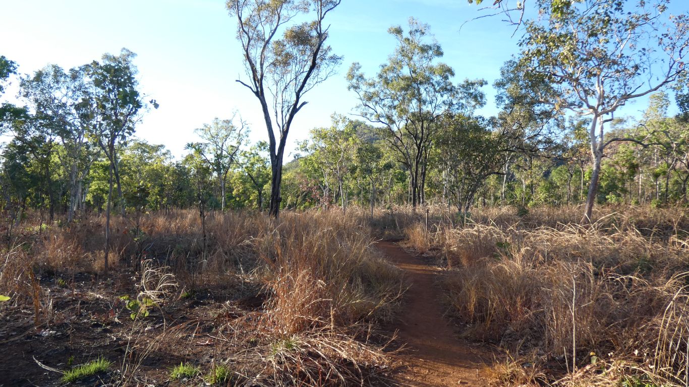
We left the campsite at 07:30, the sun is still young.
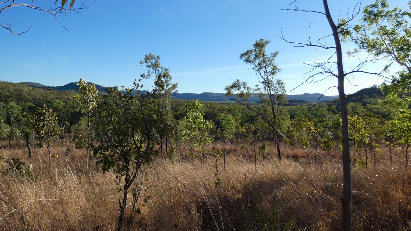
We are in a series of valleys that extend into the Arnhem Land / Marrawal plateaus. The main north south escarpment is to our west. As well as mining (our track is described as "prospecting") there has also been agriculture.
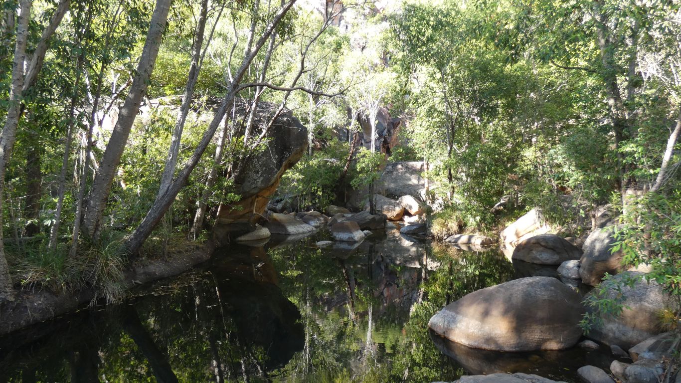
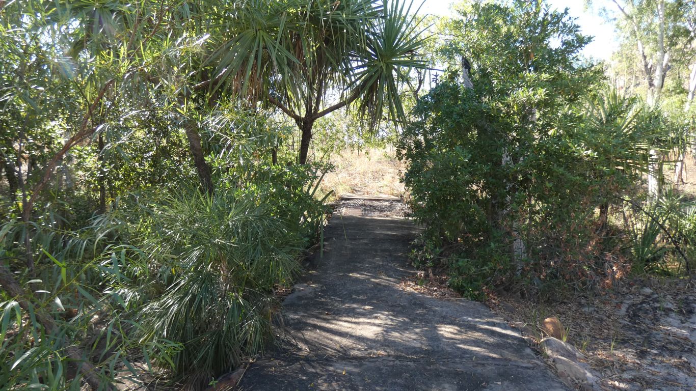
A bit of boulder hopping through patches of rainforest.
Another couple arrived as we turned to leave.
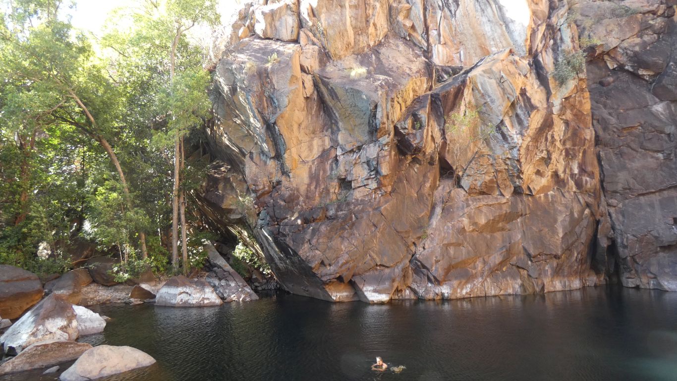
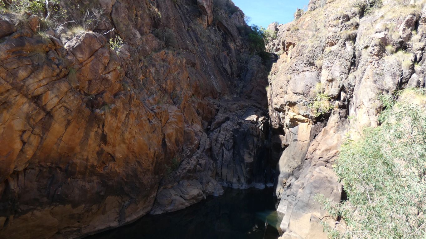
Crossing Motor Car Creek gives us a view of Motor Car Falls.
Almost failed, washed away in some long ago wet season, someone has laid poles and steel grids over what looks like old steel girders.
This was a bit more than a simple prospecting track.
We figure we should turn south off the old 4wd track.
We saw a couple of small tracks leading south earlier but were unsure. On the return journey we took the short cuts.
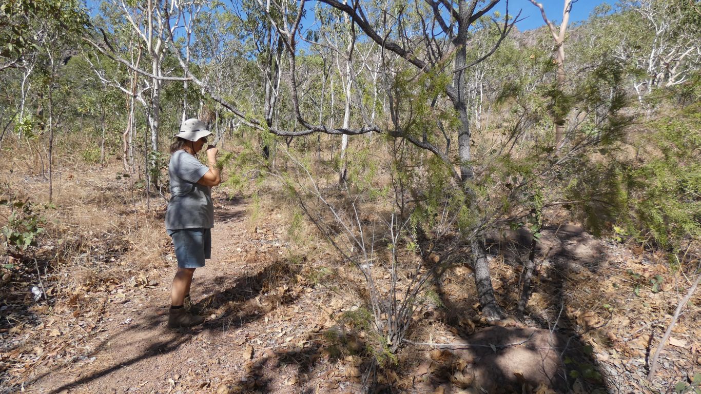
A bit strenuous.
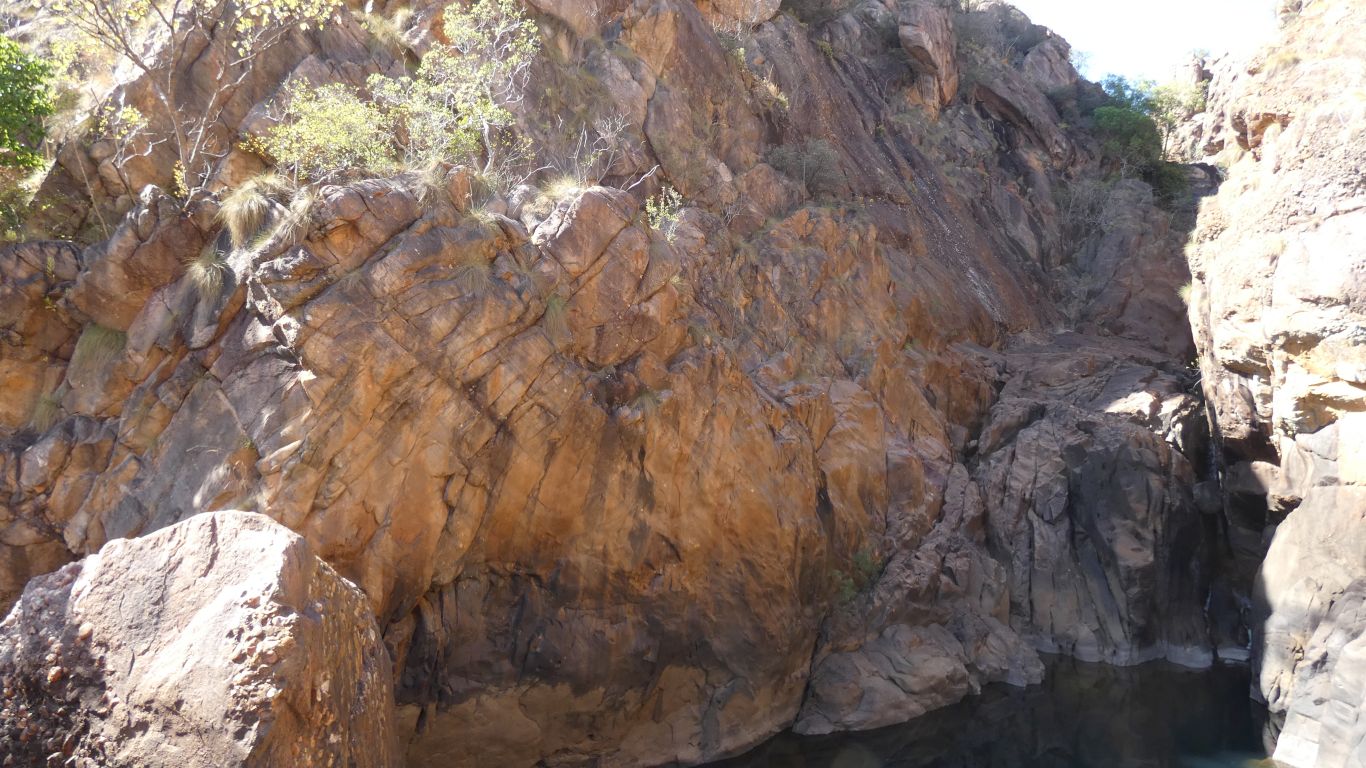
With lots of faults.
The creeks seem to flow uphill, to then cascade down the steep part of the sawtooth. One wonders if the creeks existed before the land tilted or simply found their way through faults.
The opposite, northerly, side of the valley is gently sloping, the tilt is reasonably consistent.
Which some may recall was an indication a picture should be taken.
Looking north west.
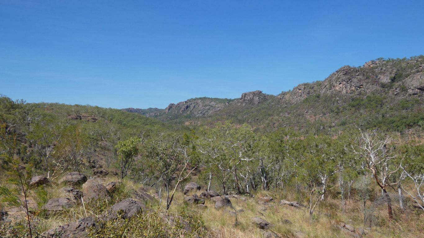
The waterfalls are in those hills.
The first time we've drunk all our water during a walk.
It seems the temperatures here are a little higher, and the days warm more quickly, than further north in the park.
After many pictures, and a couple of moves between trees interspersed with insect catching, it finally poses in a ray of sunshine. We can marvel at all its colour.
A fitting end to another fine day.
We will have to leave Kakadu without seeing a Pita.
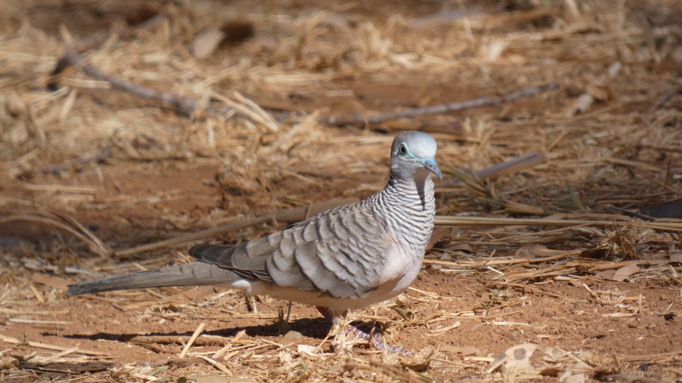
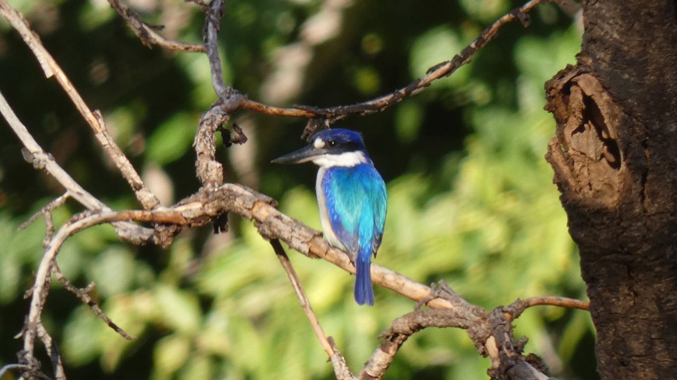
Birds seem very good at moving just enough to make pictures difficult.
Tomorrow we will leave Kakadu. Two of us will head west to Keep River and Gregory River National Parks. A detour of about 1,000km and a couple of weeks. The others will begin the journey back to Queensland, hoping to avoid quarantine, pick up parts in Yandina, the avoid quarantine on the way to South Australia.
New South Wales Covid cases are increasing and it seems there is worse to come. With resulting border closures.
Kakadu has been interesting. Although we have visited most of the mapped attractions, we seem to have successfully glimpsed different areas (from wetlands to plateau and stone, from north to south and west to east) in three weeks, we feel there is more. And we have only seen it fleetingly in one season. So much to do, so little time.... Perhaps another time.
We have a few whinges about how the park is organised, managed, and administered. For example, the scattered and incomplete information and two week turn around on "trial and error" permits is tedious and unnecessary in this age. A sense of dumbing down the available information. A general sense of a park in decline. But that is separate, and didn't detract from, our enjoyment of nature in the park. A beautiful place.