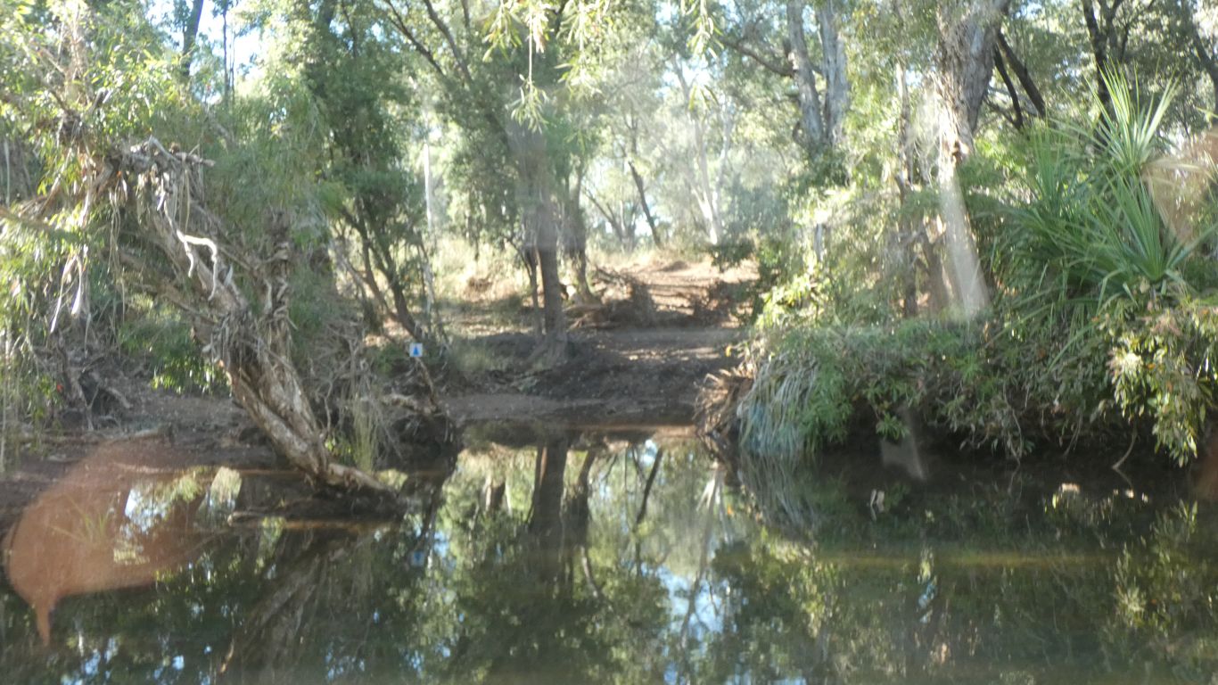
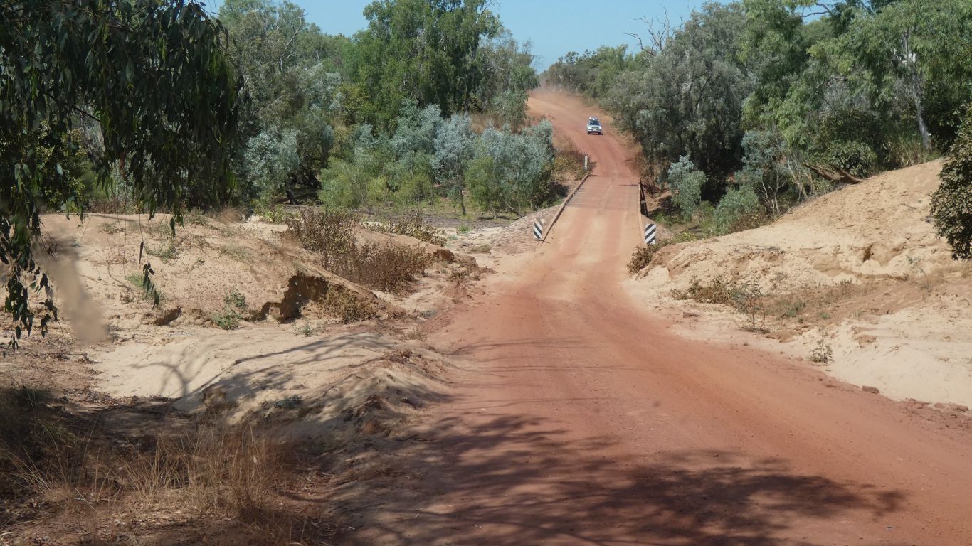
Halfway across the river, uneventfully.
I suspect we will remain confused as to whether there is limestone on top of sandstone, sandstone on top of limestone, sandstone and limestone side by side, and all or any of the above.
With probably options we haven't yet considered.
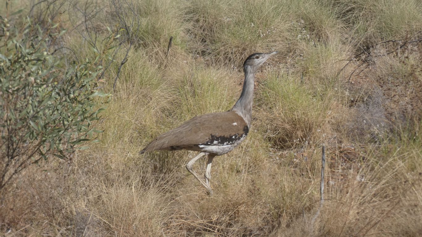
The bustard strolled arrogantly off into the bush. No haste, just a stroll.
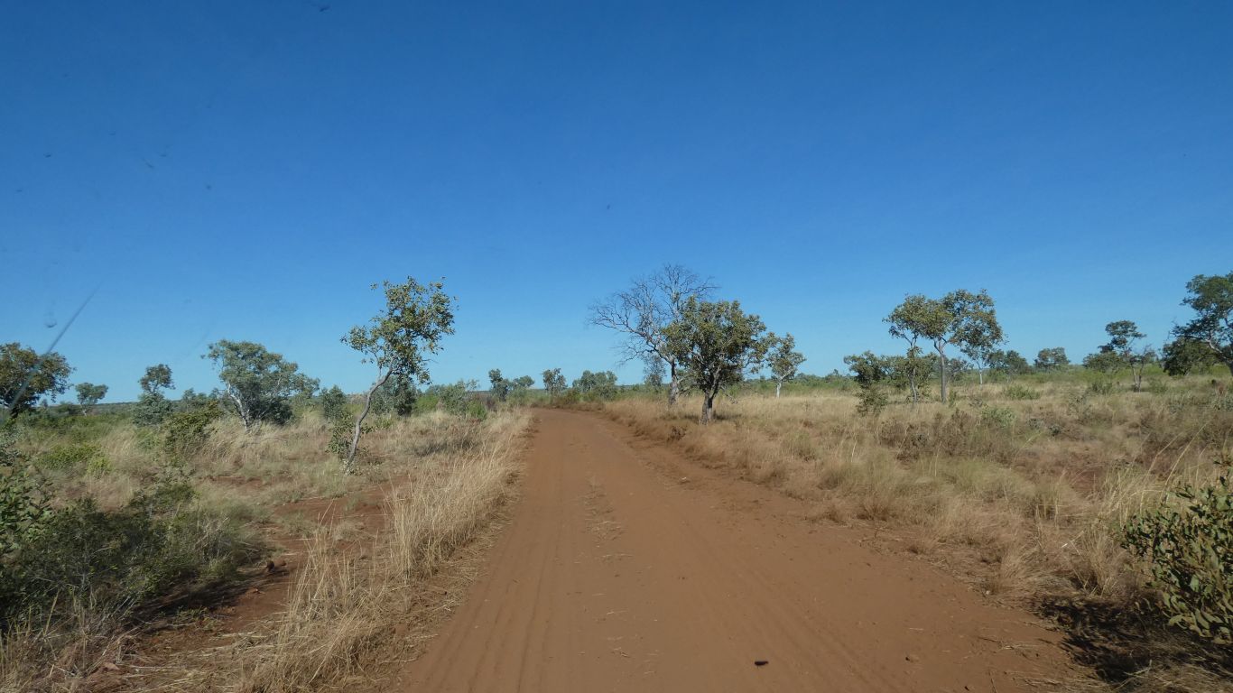
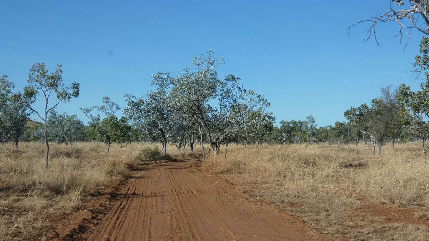
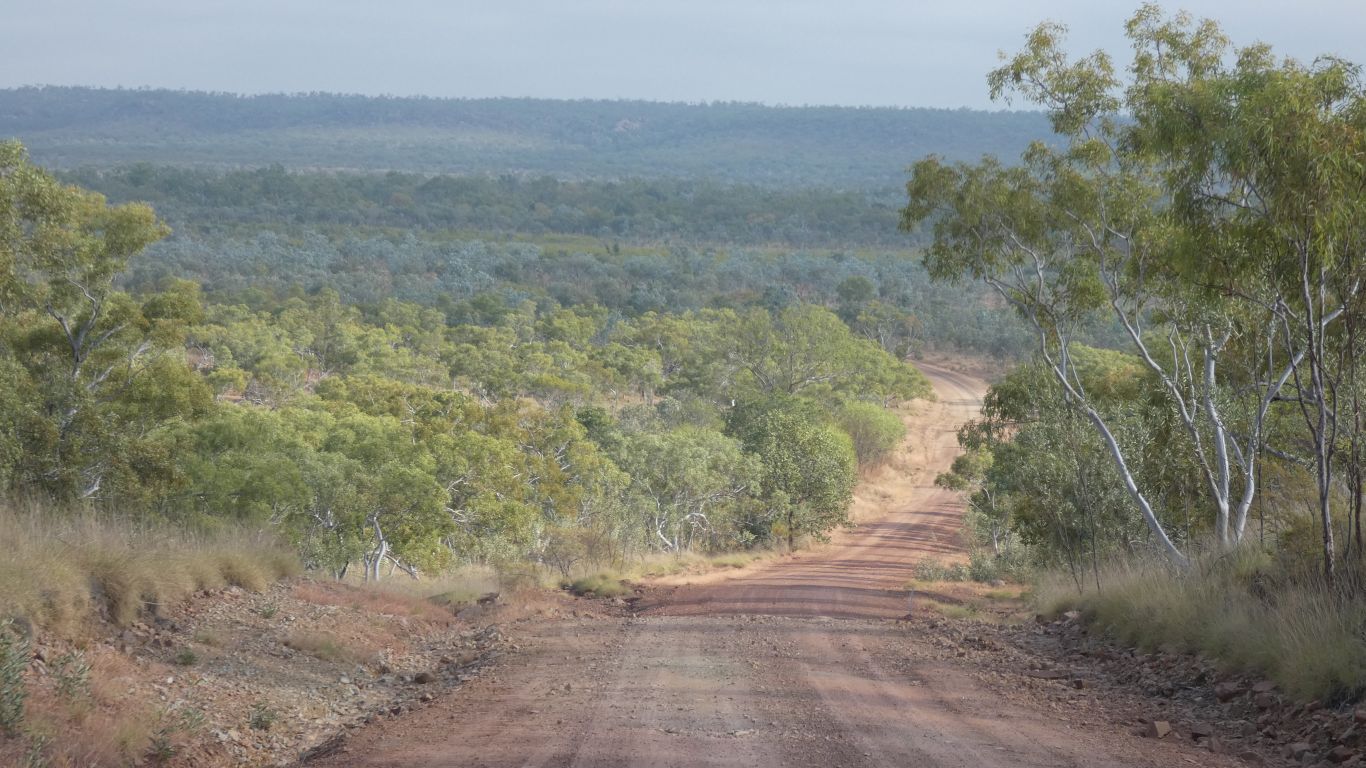
As we head south the hills are lower and further apart, the creek crossings less frequent, and the land generally drier.
If we kept going south after Wave Hill we would be in the central desert, the Tanami.
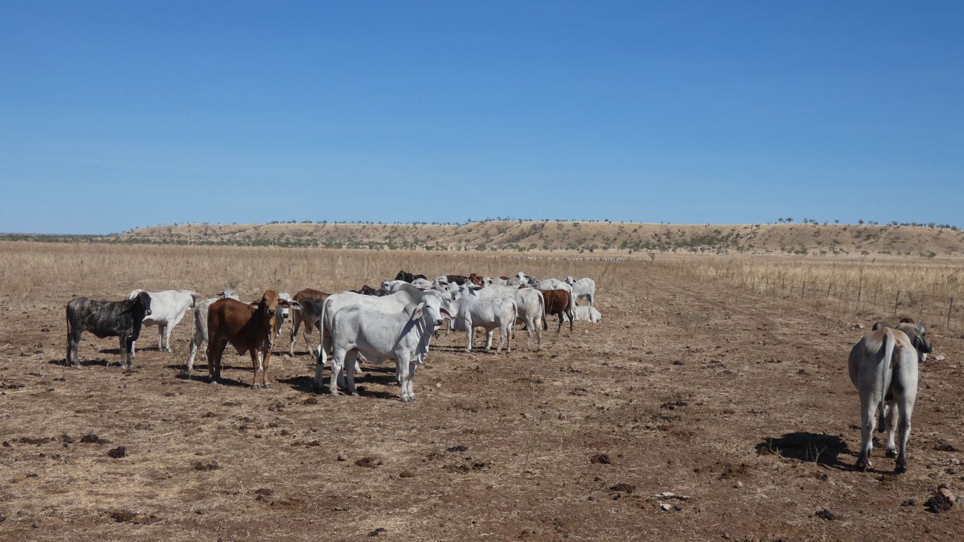
I guess one difference between the Tanami Desert and here is the number of cattle that can be supported.
Its known as the 1966 site of the Gurindji People Walk Off.
About 200 Aboriginal station workers walked off the station, on strike.
The confrontation had been building for many years, with Aboriginals unable to live in traditional ways on their land, and exploited through different labour market conditions.
A mix of wage and land claim, and a reluctant Vestey Brothers station leaseholder, meant 7 years of negotiation.
Labor government elected in 1972 changed the scene with Gough Whitlam returning a small portion of land to the Gurindji. A significant part of Aboriginal land rights changes.
Within a couple of km we cross the Victoria River. I should draw myself another schematic of rivers.
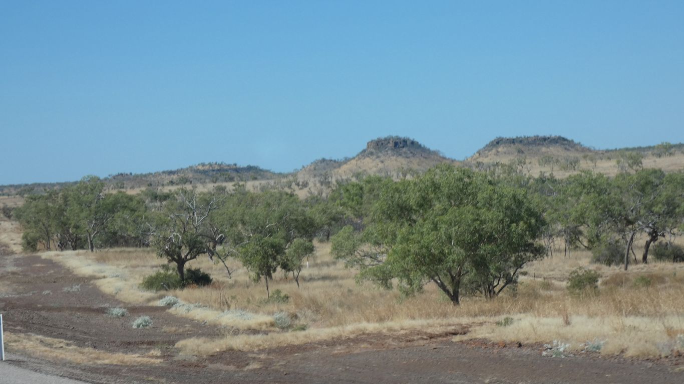
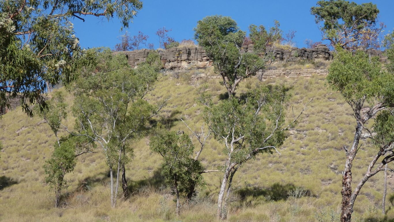
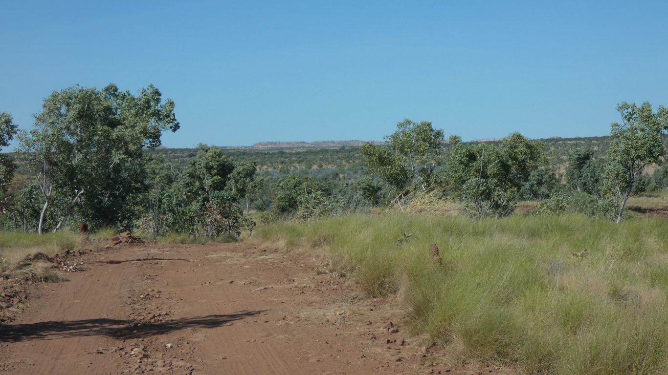
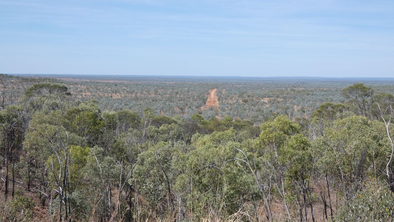
We look longingly at the jump ups as something to hide behind.
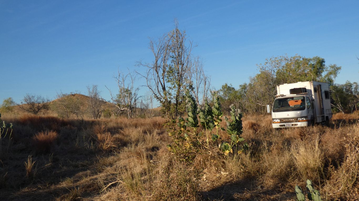
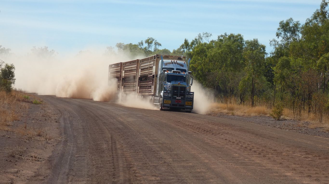
A quiet night, a few road trains but otherwise no traffic.
At least I think so.
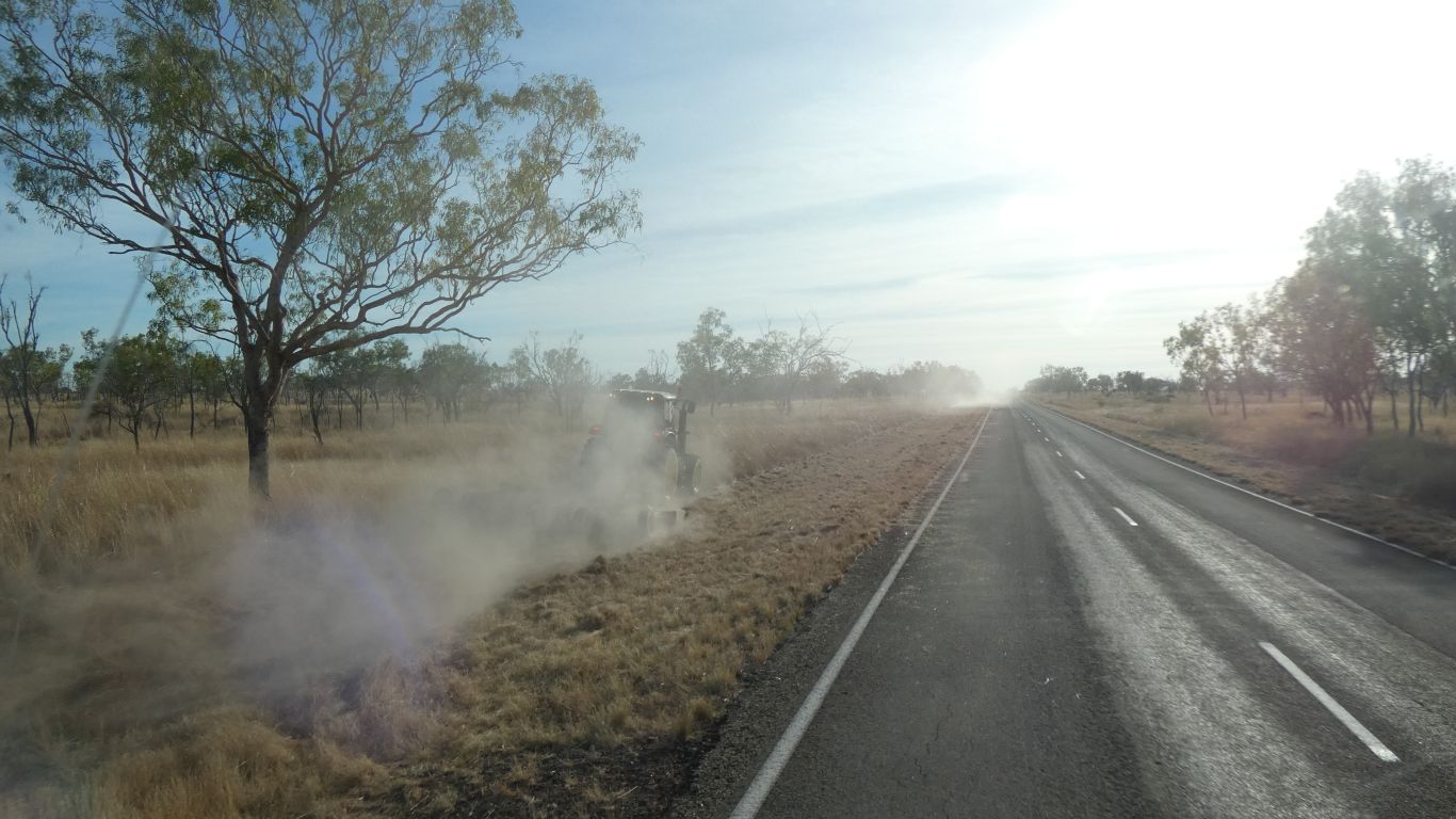
Two very large (and expensive) tractors used to cut the kerbside grass. With a truck in front and another behind with safety signs. We saw the dust before the signs. The tractors stopped, little dust, as we passed
Traveling east and north, into the sun. Our early start delayed, in deference to common sense.
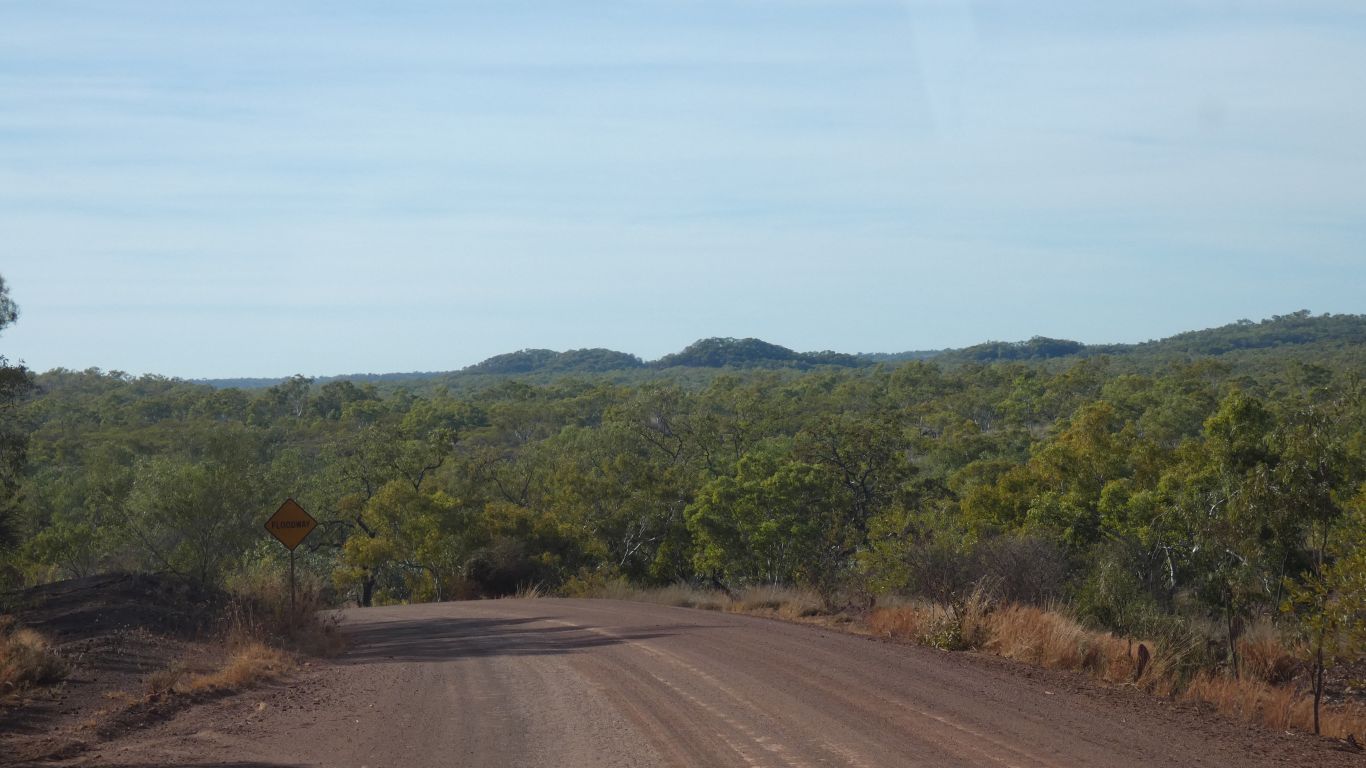
But 180km with only one minor creek crossing on the map. Few, very widely spaced, contours. A few depressions in the land, labeled "floodway". And in just one area a few jumpups.
This was full of cattle, driving into the area rather than to market.
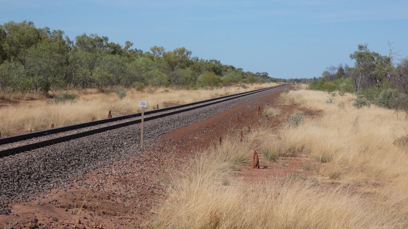
Should we or shouldn't we wait for a train.
Our last effort, at Kingoonya, failed to see the train, even though we had a timetable.
We carry on. Trains are infrequent.
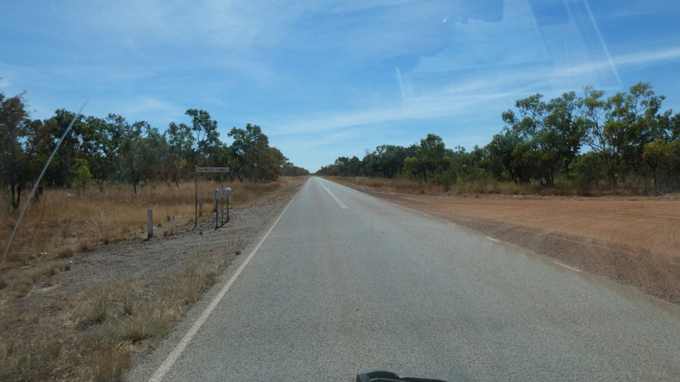
Neither the Hiway Service Station nor any shop in Daly Waters sold food.
Ali told me as I was about to pay for fuel. The young lady at the fuel station thought I was being a bit melodramatic when I replied to Ali "oh well, we'll just have to starve".
We bought a packet of pringles. We needed the transaction on the debit card to attract the higher interest rate on savings. I think we'll just about break even on the $6 it cost.
She, the young lady, said she would look at the news for the headlines. We felt grateful for her encouragement and left with a smile.
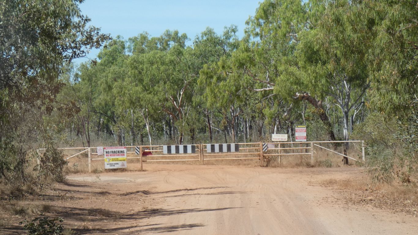
We share their dislike of fracking. And we have no alcoholic beverages. So we proceed.
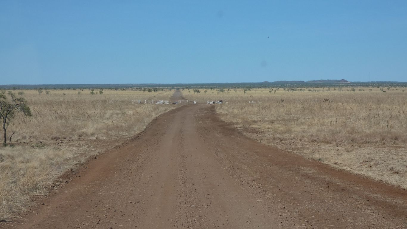
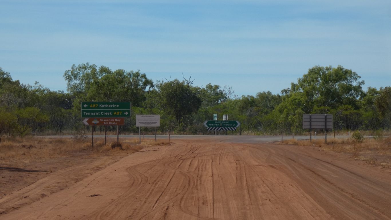
We are generally reluctant to drive through gates. Never sure if we are on public roads or private station tracks. Between the map, which labels private roads and those requiring permits, and this is not labeled, and general indications on the road itself, we feel comfortable proceeding.
The conventions seem to vary between states.
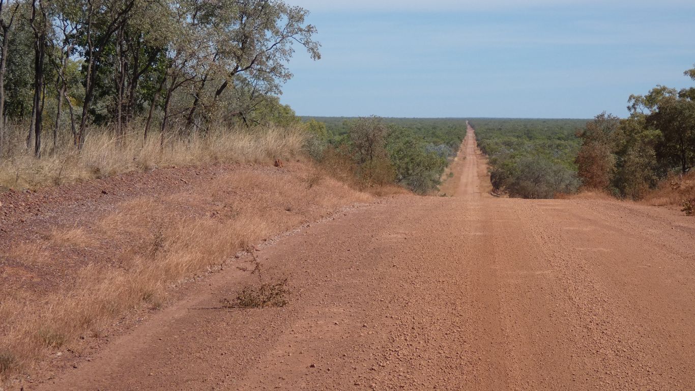
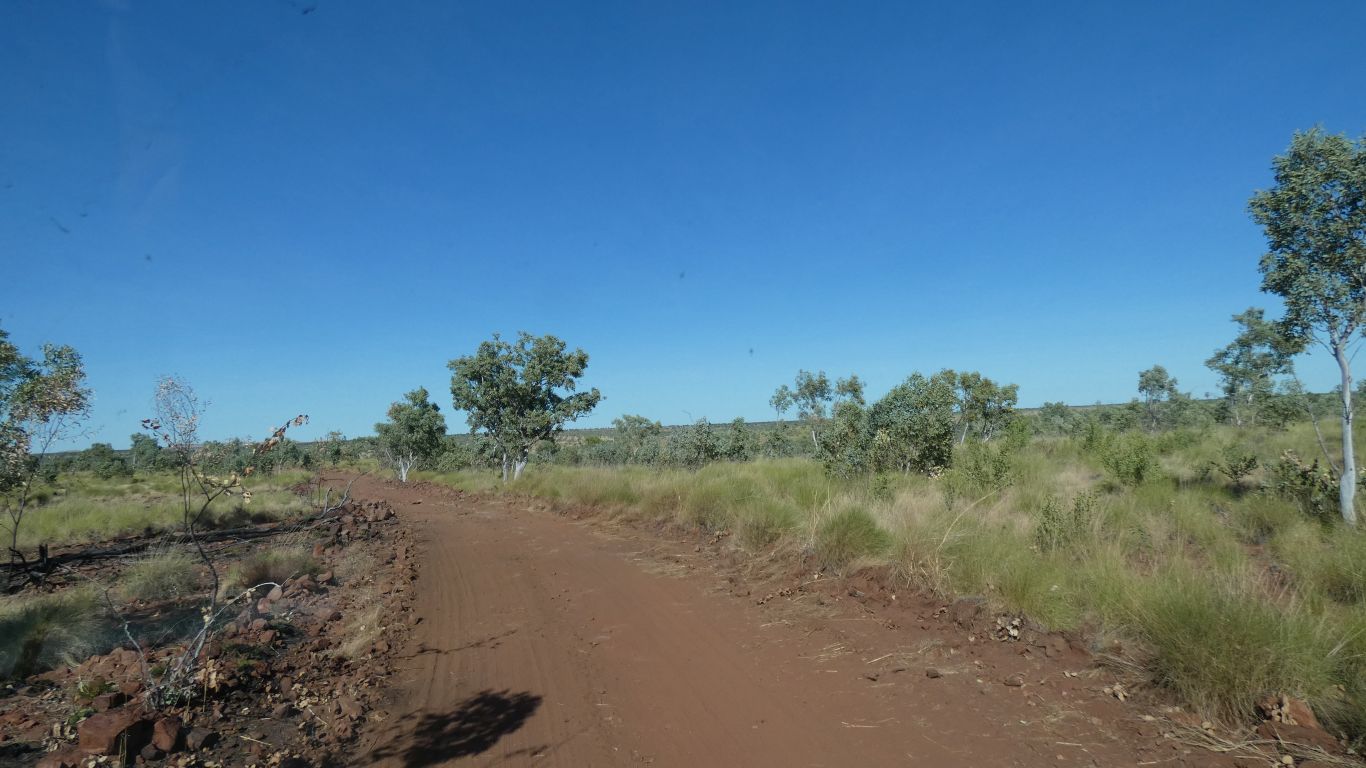
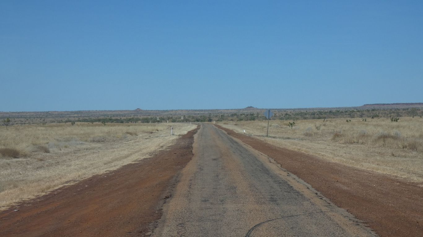
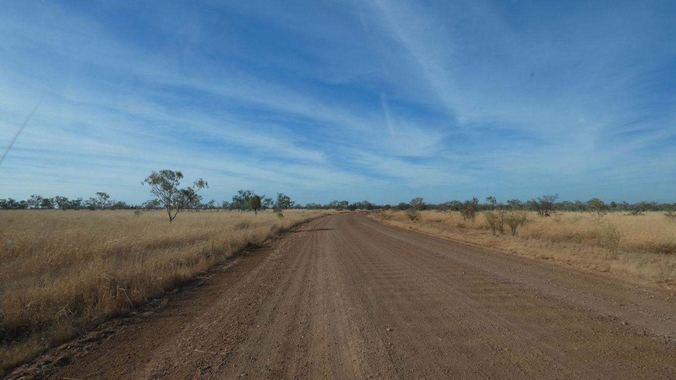
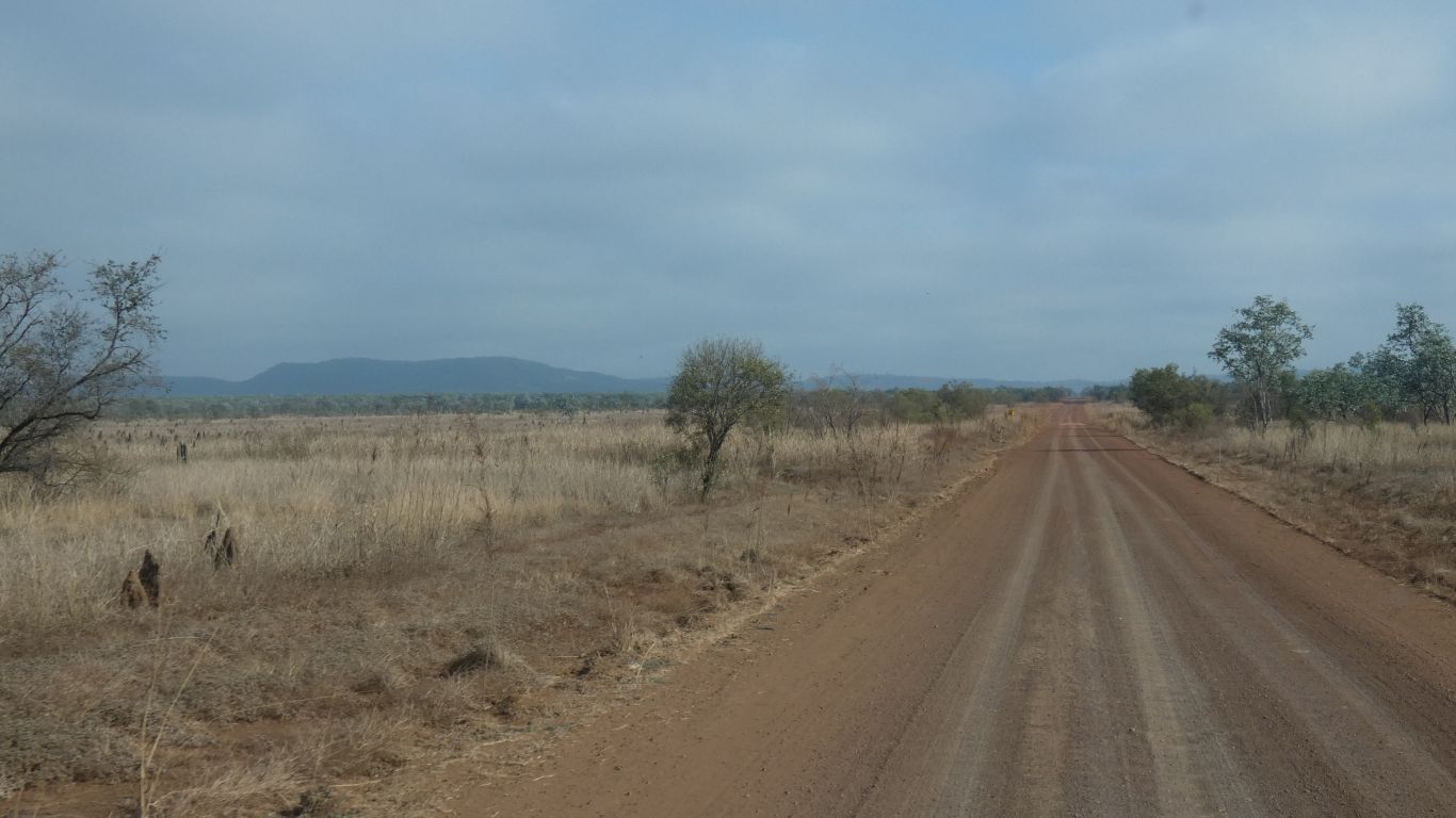
The road has a few mild corrugations. An easy drive. Though a bit dusty, including a couple of warnings of bulldust. A private road would probably not have such signs. Contrary to the pic there are a few bends and corners.
You guessed. There was only one hill.
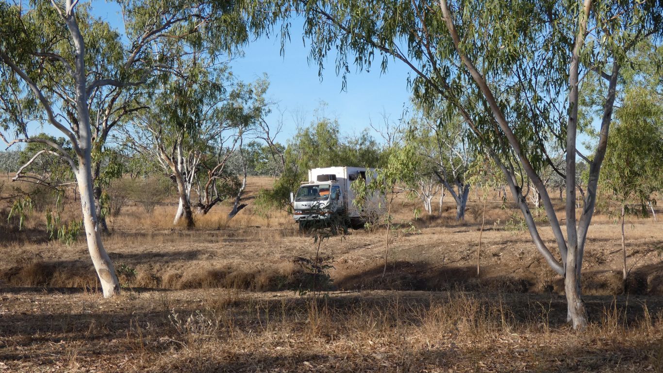
A pleasant hour watching the honey eaters and flycatchers. There are birds all around us, singing. Prolific. Abundant. Though difficult to see, they flit among the foliage frequently, lots of energy, and more difficult to picture.
We are still struggling to separate our flycatchers from our wagtails.
One vehicle passes around 5pm. Another around 5am the next morning.
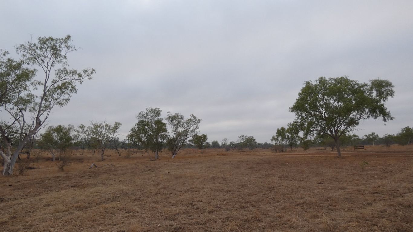
Cloudy.
We haven't seen a cloudy sky in a few months.
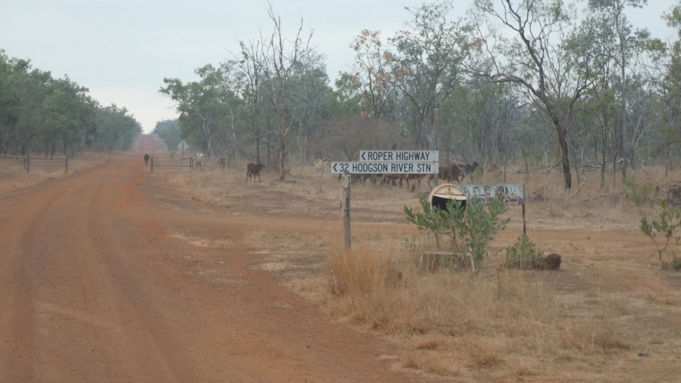
I mention this because the road is not shown on older more detailed maps, nor on google maps. I wouldn't have looked forward to negotiating the maze of station tracks.
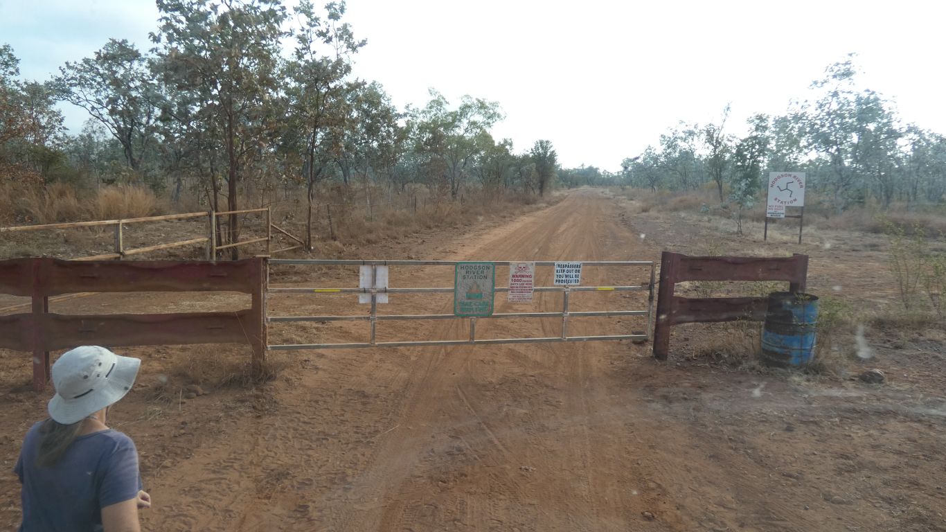
We decide we aren't trespassing on a public road.
The three legged logo intrigues us. Not dissimilar to the three legs of man - the Manx emblom. Though I can't remember which way the feet point.
Progress is relatively slow due to the number of gates. Average about 30km/hr. We slow down well before the gate to reduce the dust, wait for it to settle after stopping, open the gate, drive through, close the gate, drive on ..... and so on.
Peter and Margaret had minties for people who open and close the gates. Alas, I have none.
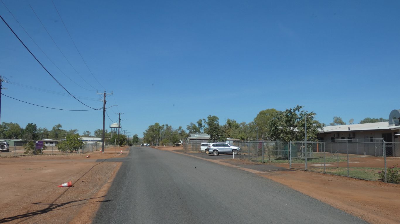
The road steadily improves as we head north. There's a community at Minyeri (Hodgson Downs). Another at Kewulyi (Roper Valley).
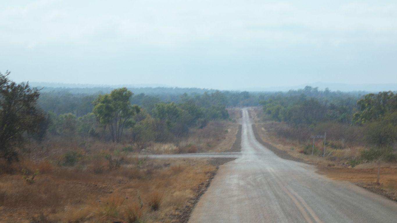
The seal doesn't last long. A bit more corrugated than so far we let some air out of the tyres and proceed more slowly.
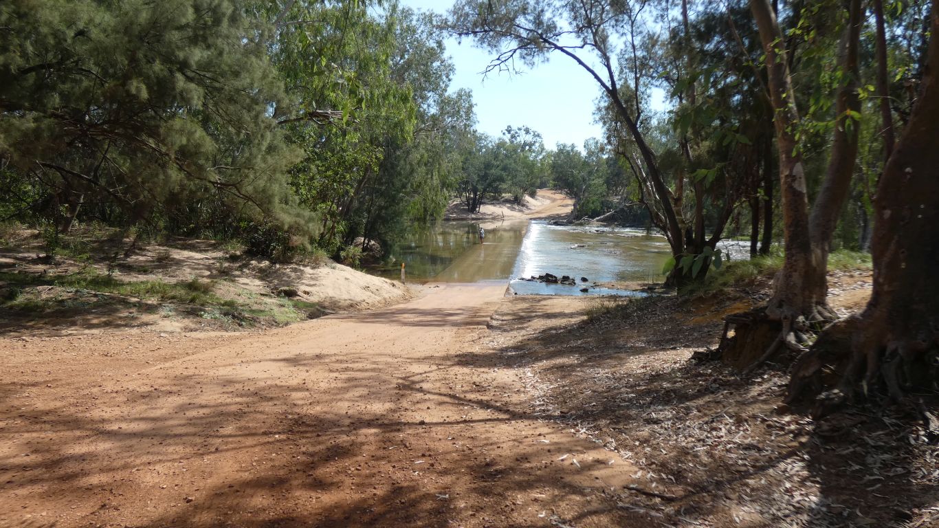
The police station above the crossing closed in 1980.
We also visited the Roper Bar shop for bread and a couple of other essentials.
Part of "Highway One", the road that runs all the way round Australia.
A far cry from the eight lanes each way that constitute the Brisbane to Gold Coast section.
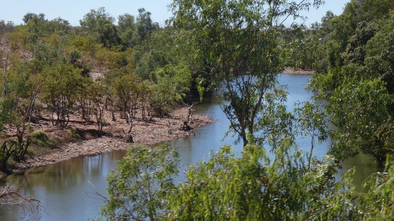
We stop to camp at Munbililla (Tomato Island). A fisherman's paradise on the Roper River. We catch a glimpse of the river.
No boat ....