And so it is.
Some of the roads, tracks, and random overnight camps are as interesting as the target.
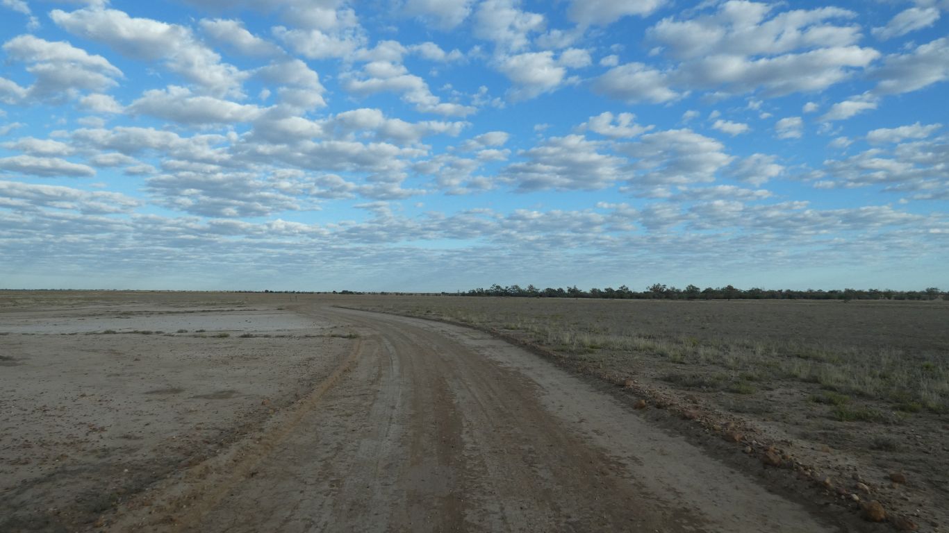
We set off from Welford National Park along "The River Track". Struggling to find some semblance between the brochure description and reality. We are parallel to the river, about a km away.

More an island than a jetty. The tide must be in.
We watch swifts leaving and entering their nests built under an overhang on the furthest small rock.
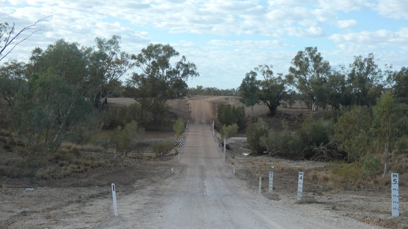
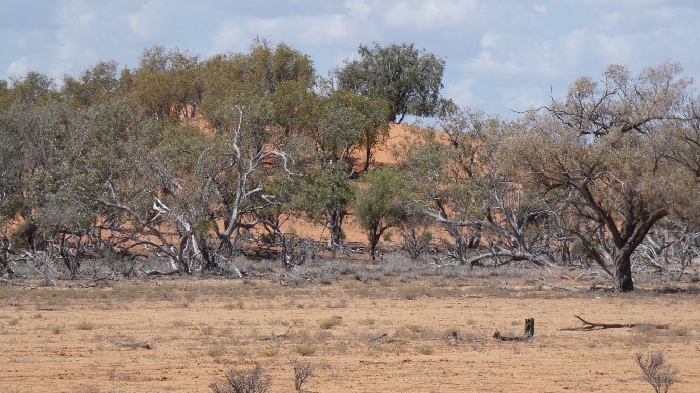
Across the Barcoo River as we leave the park.
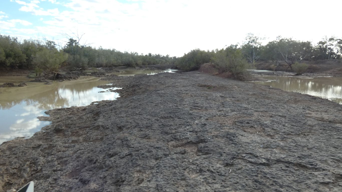
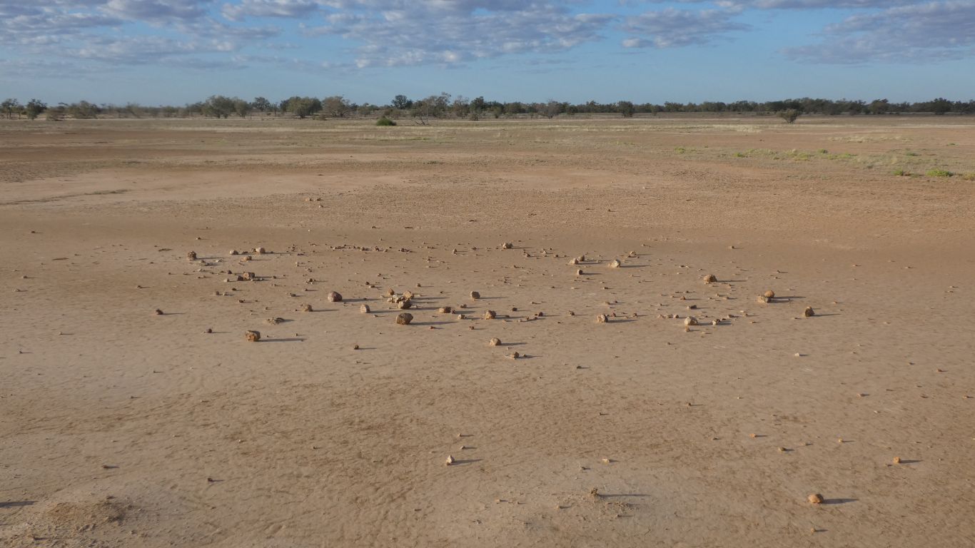
More of that hard rock. Which was useful for the causeway / bridge builders.
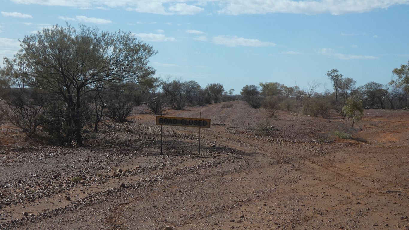
The "road closed" sign where we intended to leave the main Diamantina Development Road did not auger well.
Perhaps the map knows something reality doesn't?
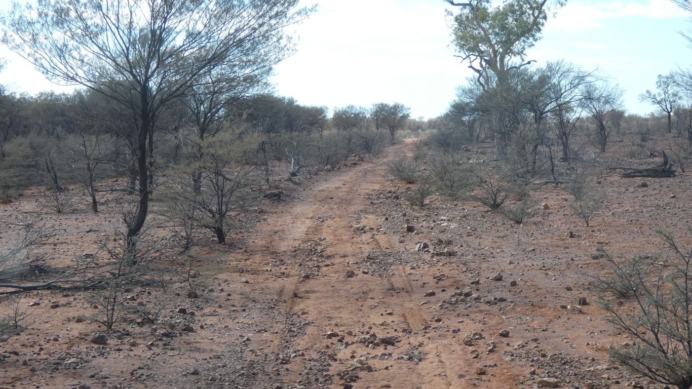
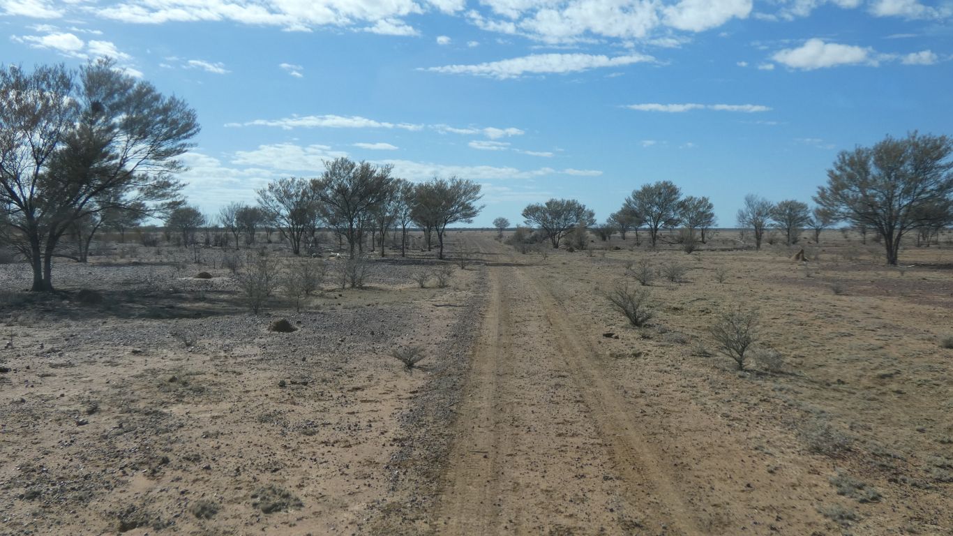
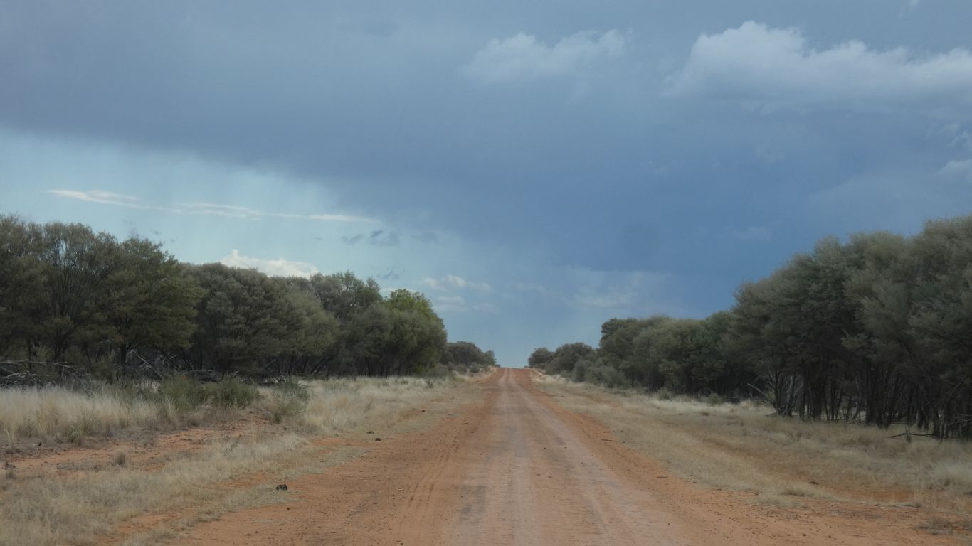
Not far to where the map says it stops being a road and becomes a track.
The difference between 20km and 19km.
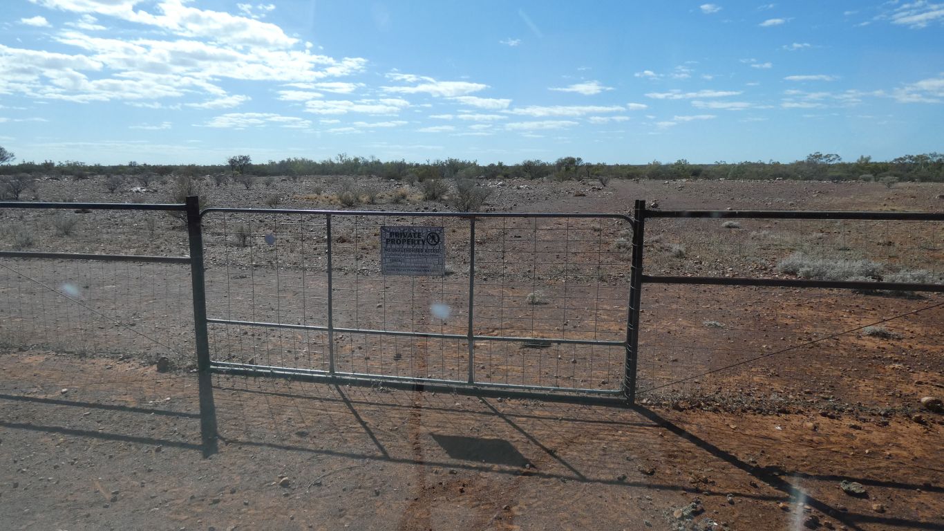
The sign on the gate says "private", etc. The track would have crossed the creek about a km ahead.
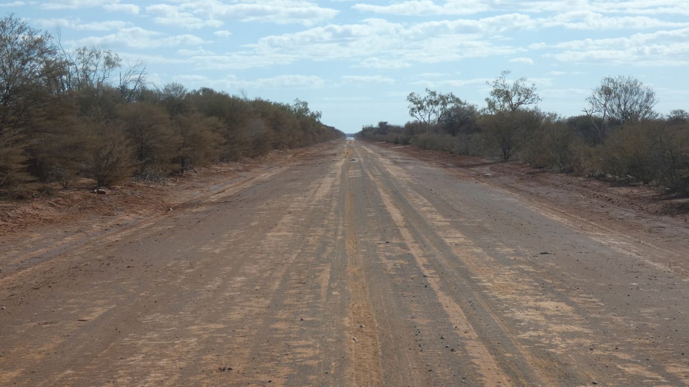
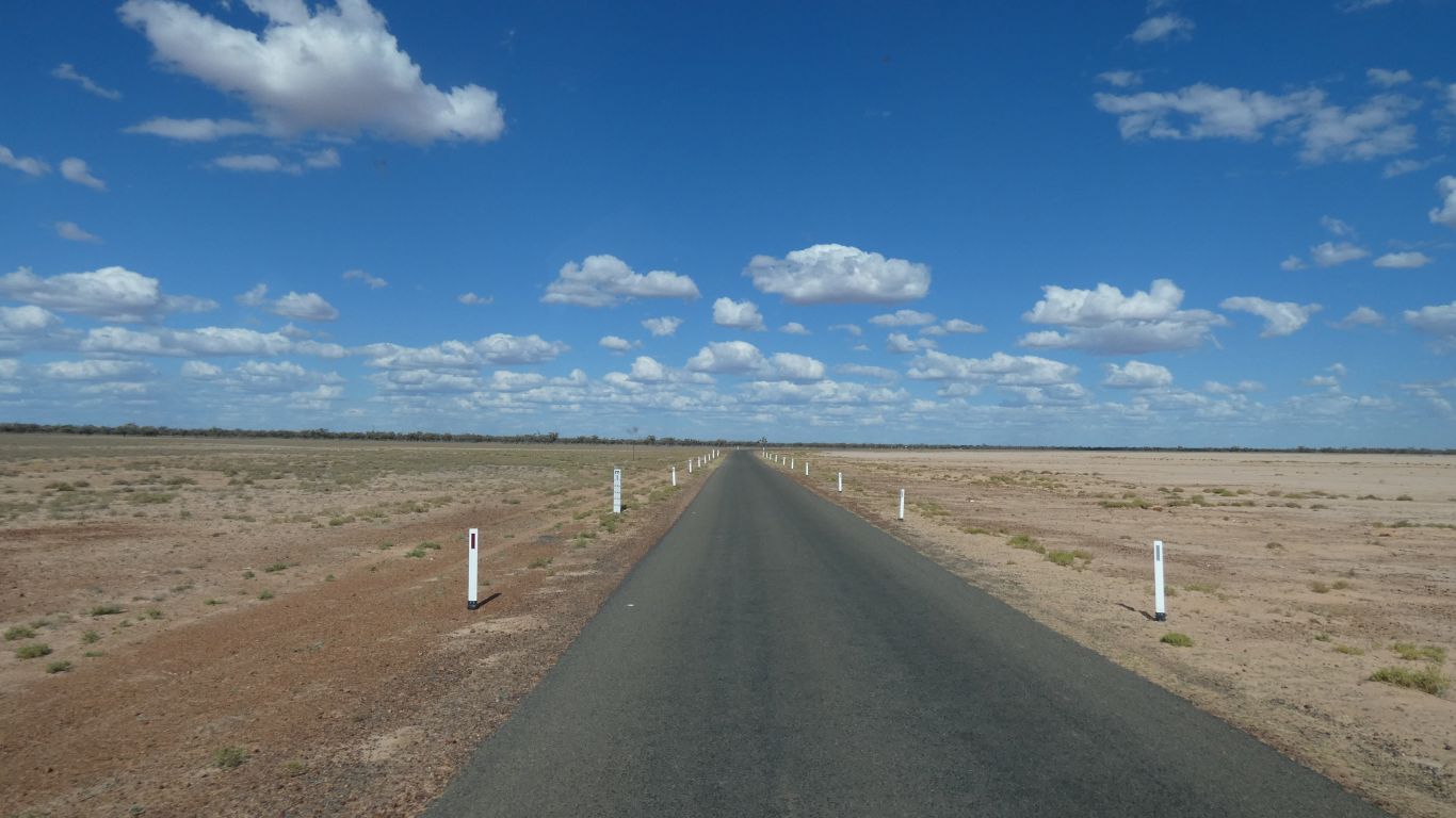
The development road is single width. But no traffic.
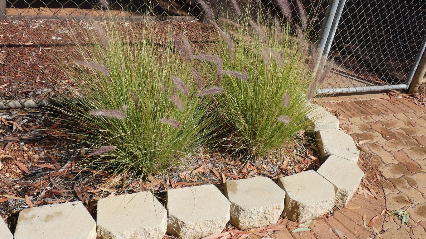
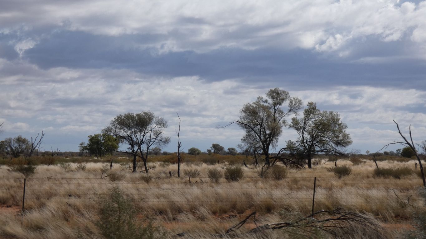
Our interest in Mitchell Grass is sparked over and over.
I now know there are four types. Hoop, Curly, Barley and Bull.
So far I haven't found a web page with all four pictured. Lots of agricultural sites suggesting how useful each is as pasture, with a page for each and few pics.
I'll make my own composite pic for comparison when I have a chance.

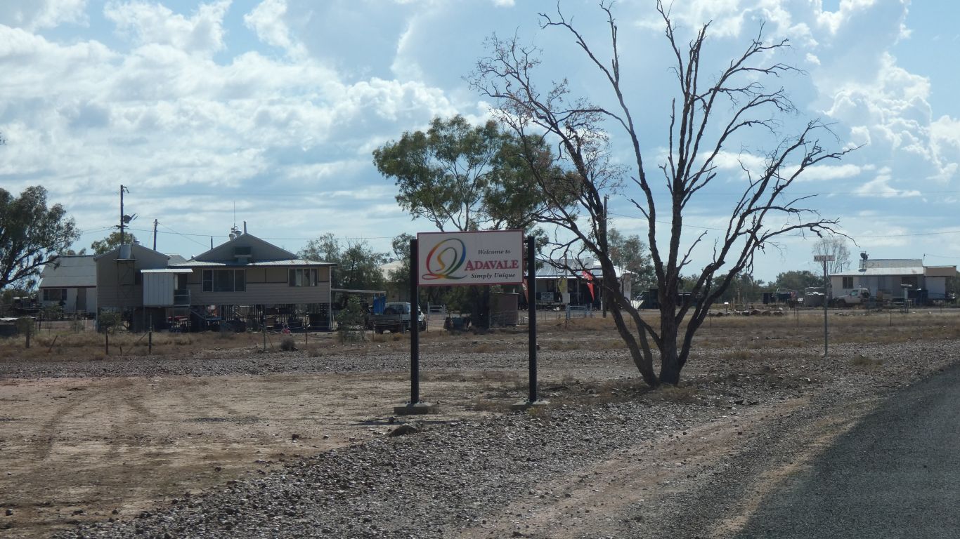
Hopefully this will lead to Adavale.
Though they did mention north east.
We retreated yet again.
We found a convenient track off the road and settled in for the night.
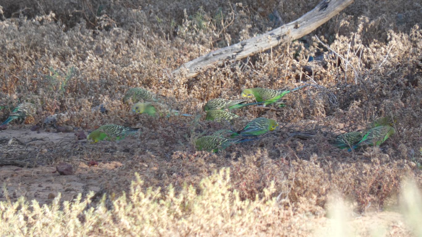
A small flock of budgerigars showed us how well camouflaged their colours make them. I needed binoculars to even know they were there.
Clay.
I was woken at about 04:30 with flashing lights. Conscious we were alone, almost out of sight of the road, I needed to investigate. But saw no-one.
Then a peal of thunder, a flash of lightning (not necessarily in that order) and a few spots of rain.
We spend the next 90 minutes driving through light rain to Quilpie.
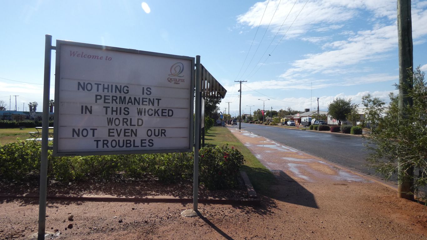
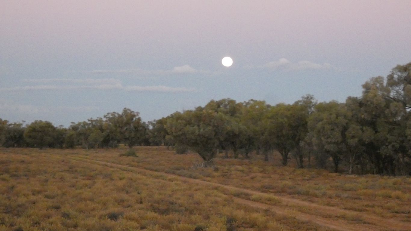
We wake up to a reminder that troubles aren't forever. While not really having any.
The ground proved firm. Though when we walked on it next morning a tad slippery.
Heavier rain about 9am. Squally. Pleased we moved.
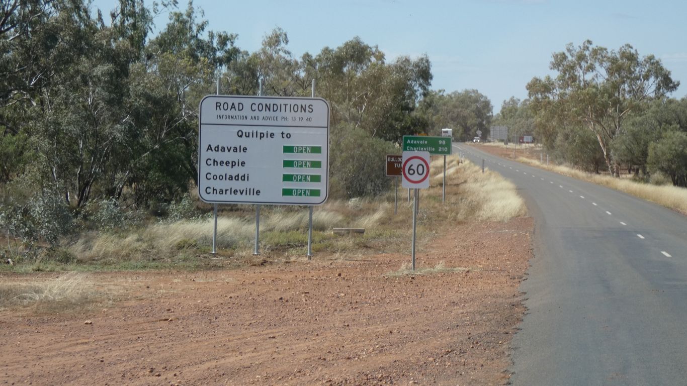
Info centre full of useful info. We walked to the supermarket. Dump point, fuel, and back to info centre for water, and left for drive to Adavale about noon.
We also use internet to check road conditions. There are flood affected roads further north (more north than we are traveling) with no closures that affect us.
The "red road" that is. The "black road" not mentioned.
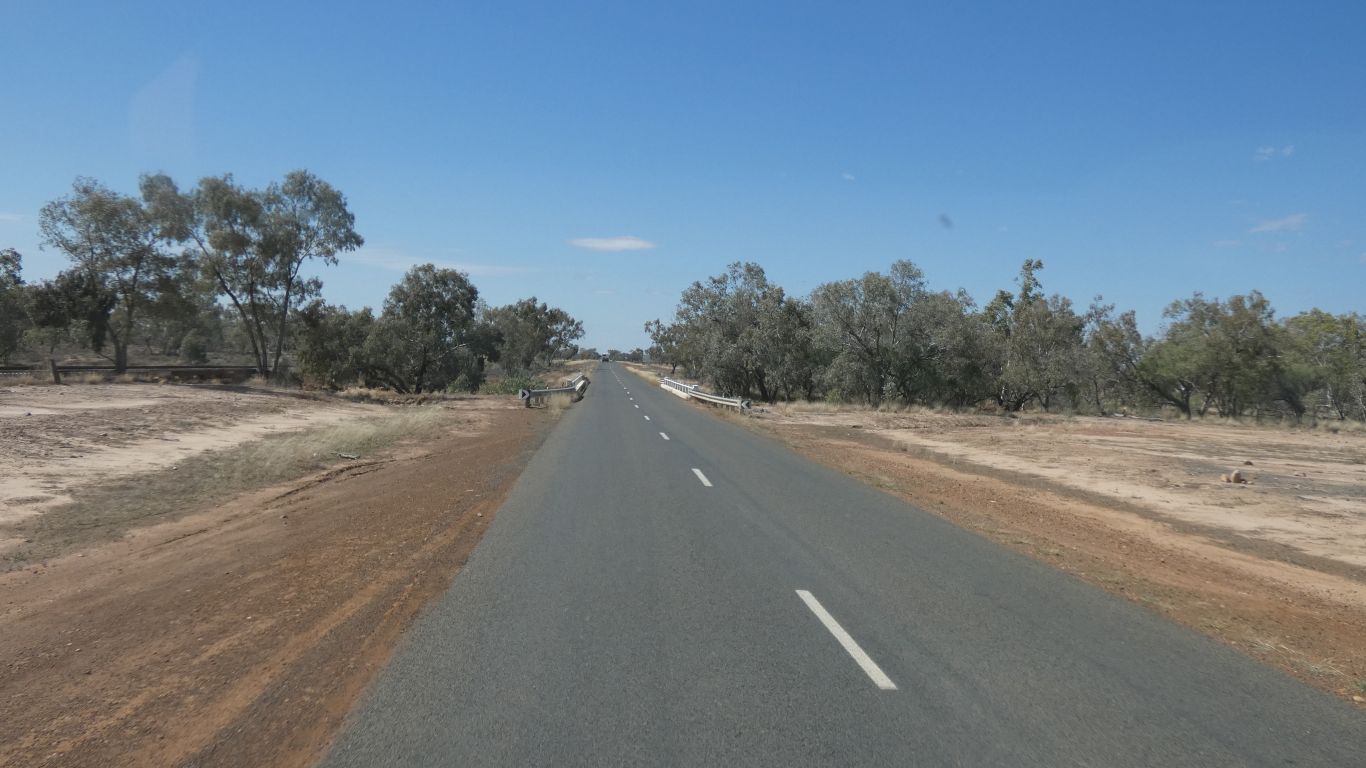
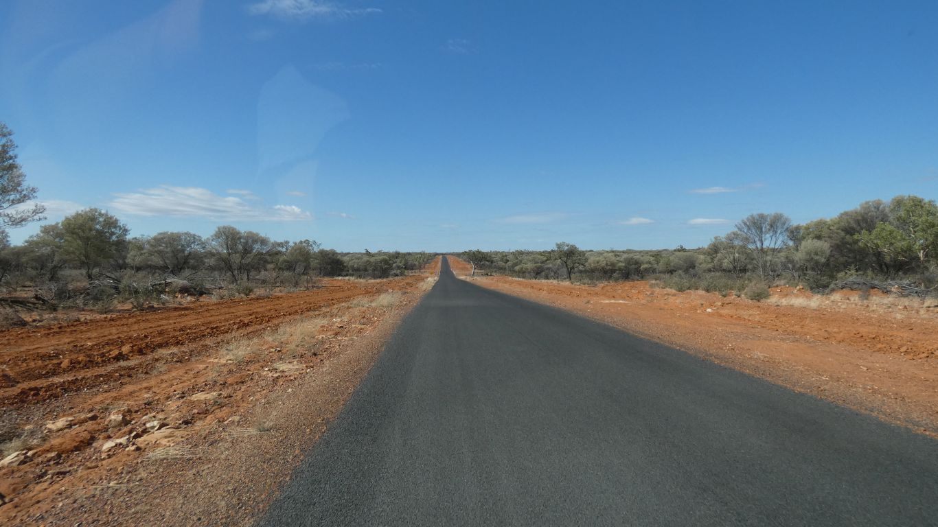
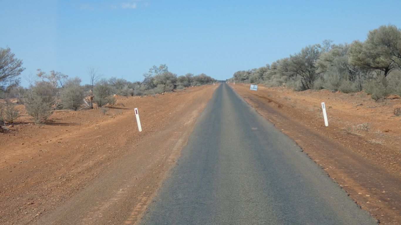
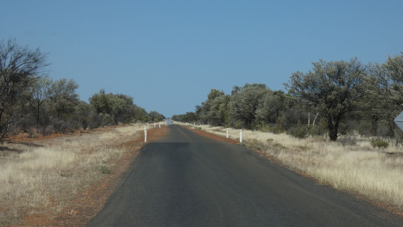
Mostly sealed, of the 100km about 20 is still gravel, but work is progressing.
The black road is presumably named because it follows the river across clay.
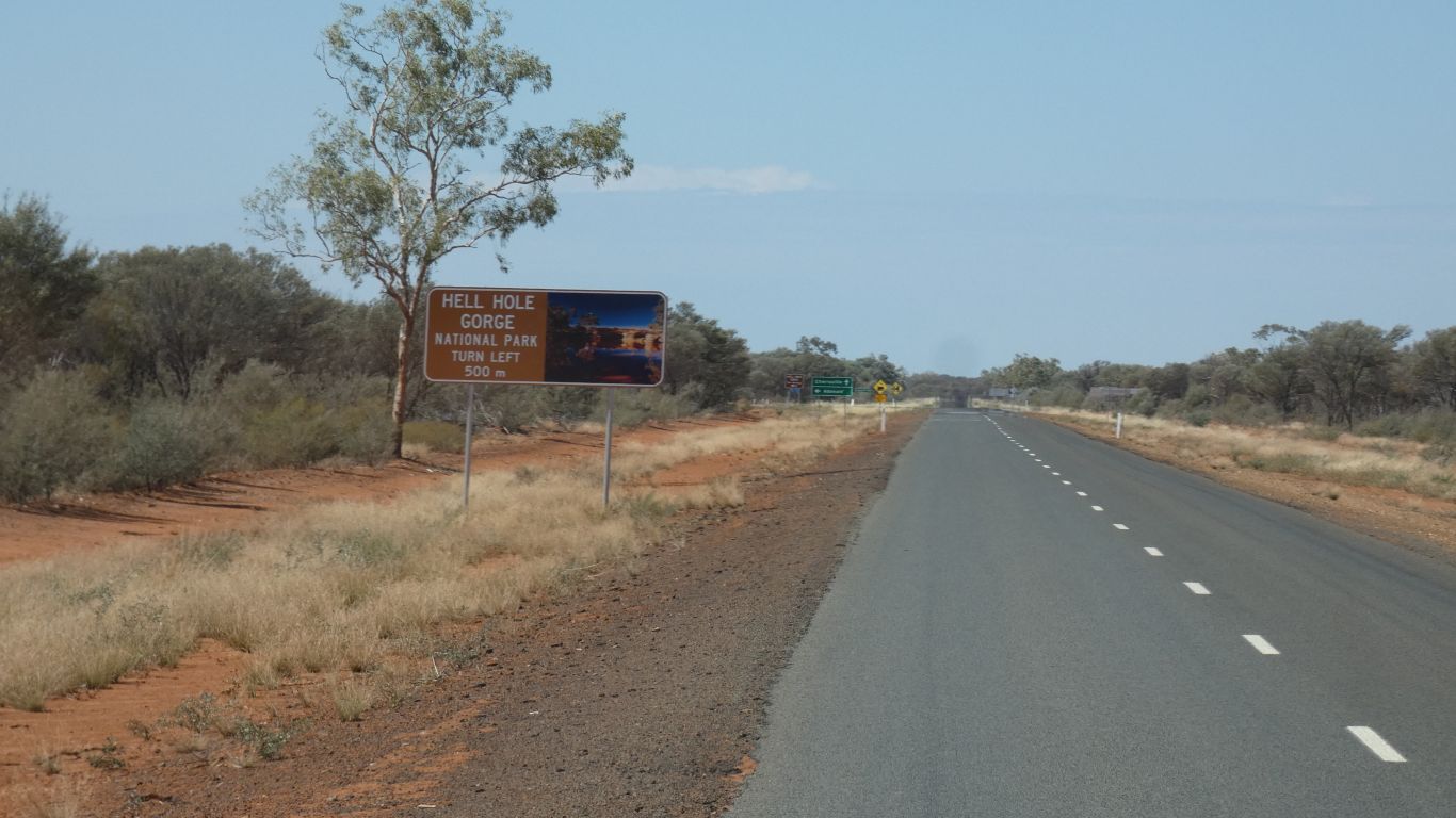
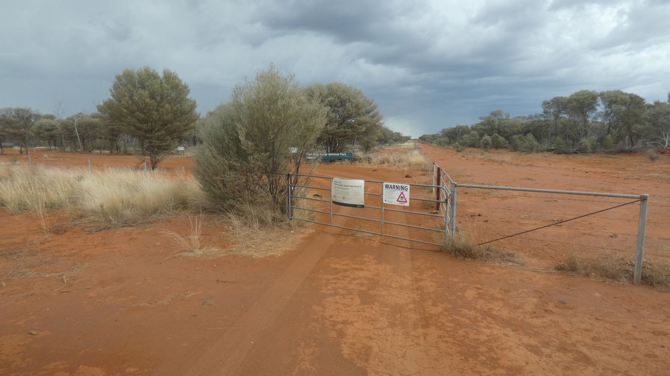
Gateway to Hell Hole Gorge National Park.
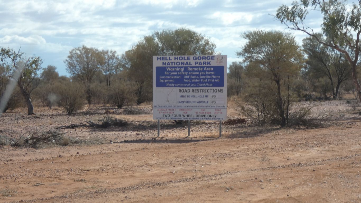
The roads are open.
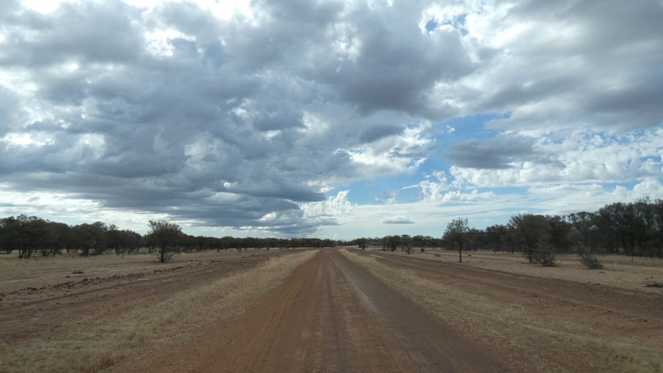
The clouds seem to be changing.
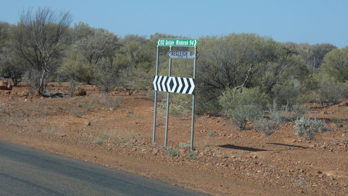
There are lots of signs. Typically at junctions where we could go wrong.
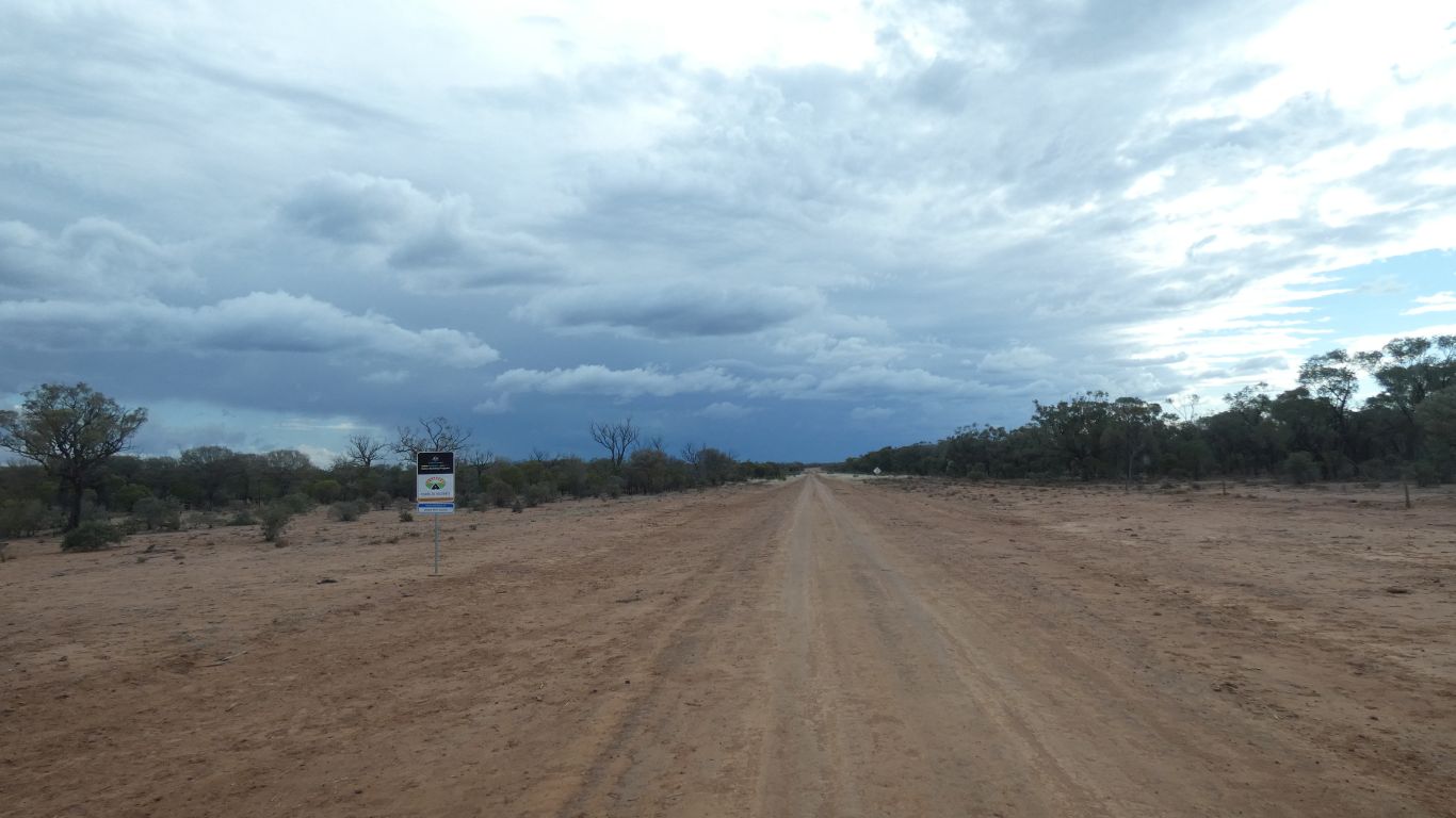
The sign is one of those "roads to recovery" (haven't we done well) signs about road building.
The national park is shown on most maps as "no vehicle access". This road was put in (along an old fence line if our maps are correct) about 2013.
But not far now.
With concern about covid-19.
We expect one other party of campers. Limit for booking is three sites.
Despite visibility somewhat hampered by rain and windscreen wipers overdue for replacement we found our way to the campsite. Crossing Powell Creek was hardly noticeable. Probably because we didn't cross it.
I suspect the track has been moved a bit since some of the internet descriptions I've read of driving up one side and down the other on the rock shelf that is Powell Creek.
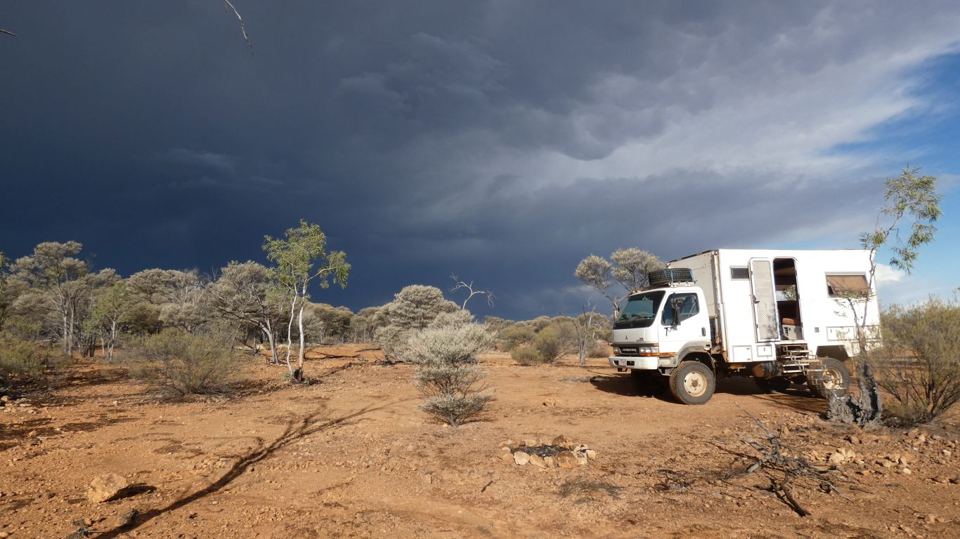
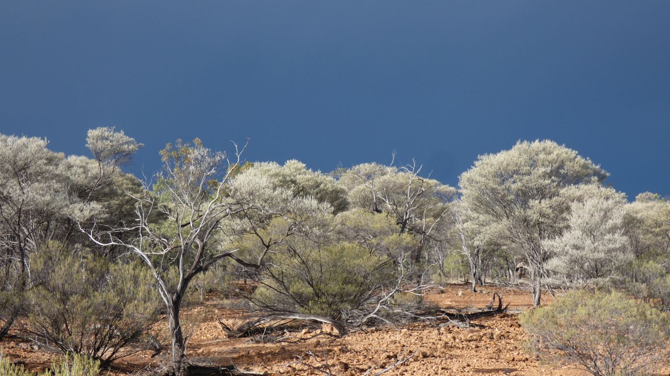
Definitely rain. The colours are simply beautiful.
A brief, squally, shower.
Perhaps I should add there is a bitterly cold wind blowing.
We close the door and most of the windows.
Our thoughts turn to why its called Hell Hole Gorge.
Though we also emerge for a brief recconnaisance of surroundings, to plan some walking.