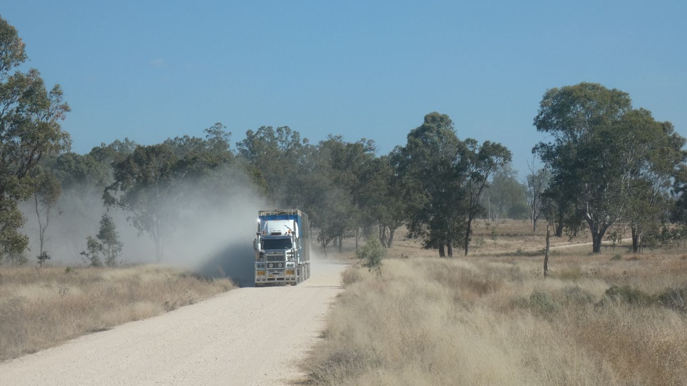
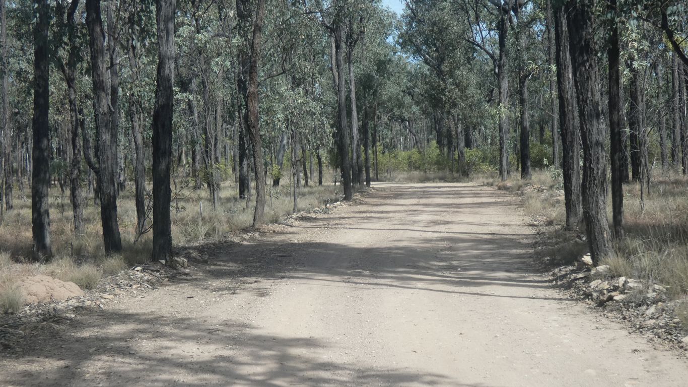
We failed "dirt road driving 101" for the first one, by stopping on the left hand side. Not enough space.
For the second we moved to the right and stopped. And waited for the third.
Which is why it seems to be on the wrong side of the road .... must have met people like us previously.
Cattle. Presumably on the way to a sale yard, and thence to pasture or dinner. Someone else's dinner.
Probably where we have been rather than a shortage.
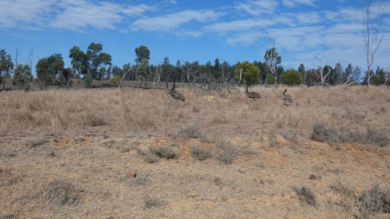
This family group of five graciously posed for a pic.
Our experience is totally different.
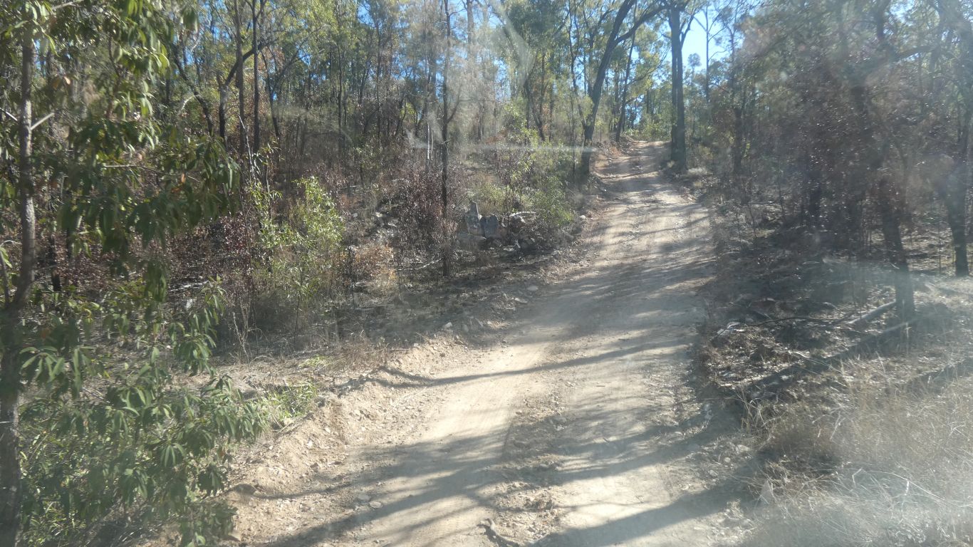
Explained by the Ranger doing maintenance at the campsite as having done a lot of work on the roads. Both this one from Taroom, and the road north from the campsite.
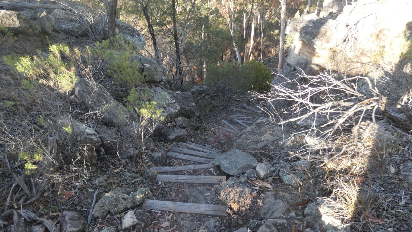
Described to us as a bit of a scramble for the last bit to the top. Turned out to be a scramble up steps.
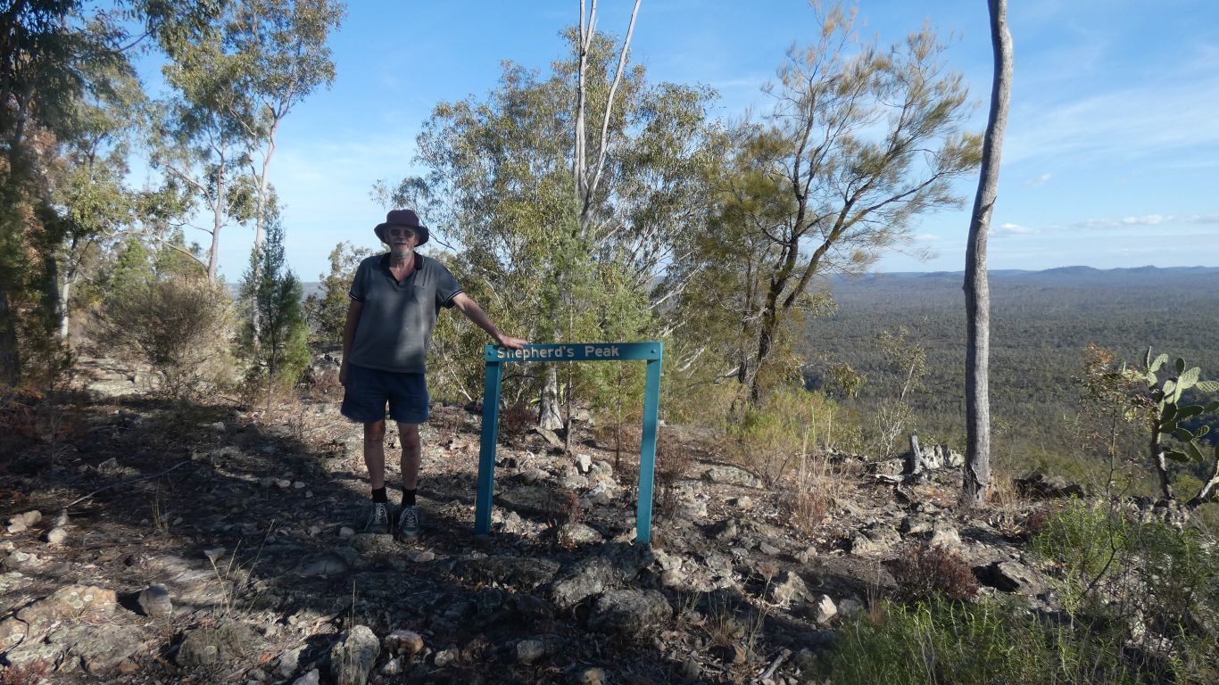
The sign helps with the "here".
It goes with the feeling of awe. Which we are told is good for us.
Mobile phone at the top, a couple of pics to daughters.
The peak is a long (at least a km from the satellite view) ridge. Narrow. As far as we can tell it doesn't seem to join any of the surrounding hills.
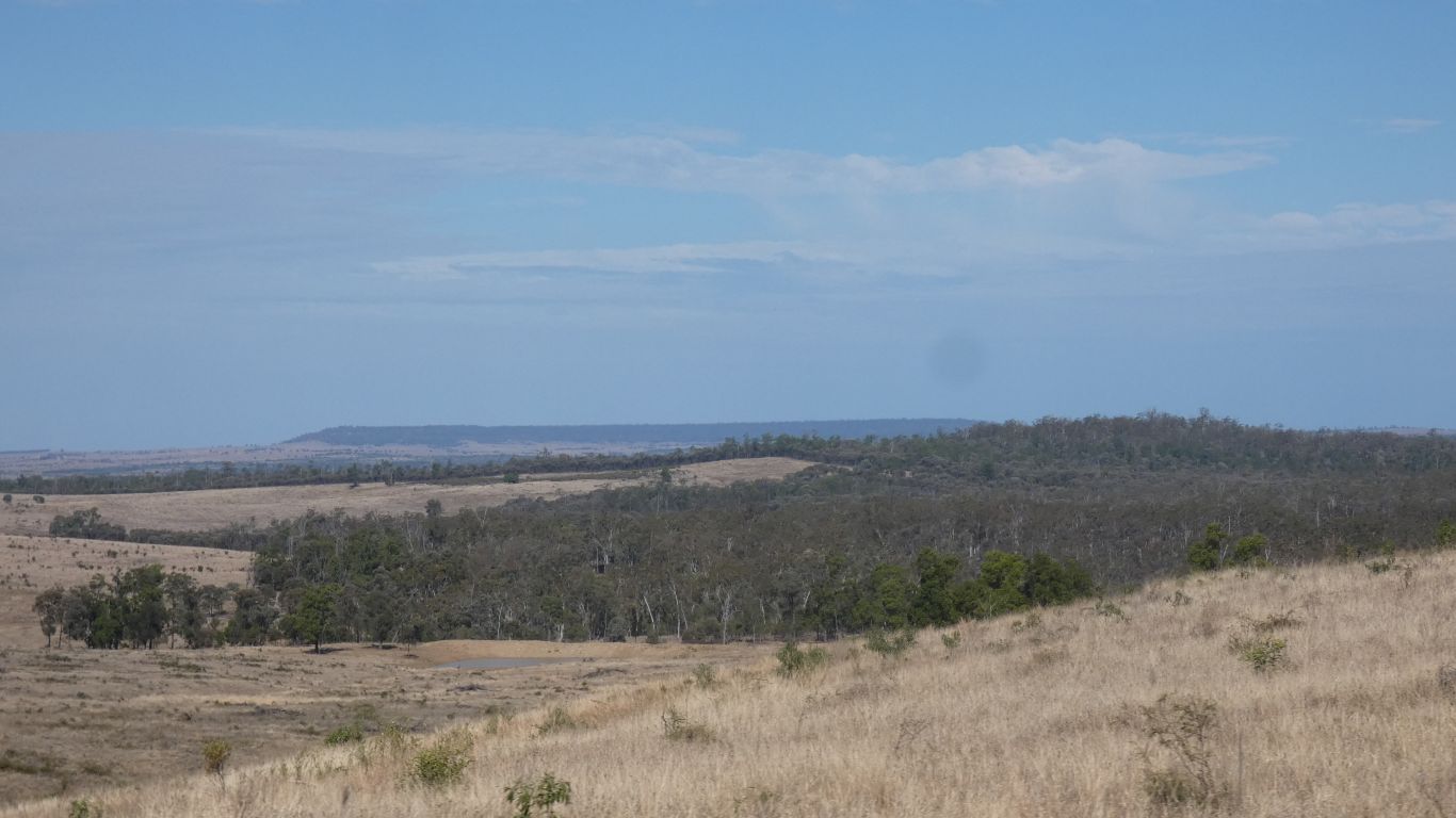
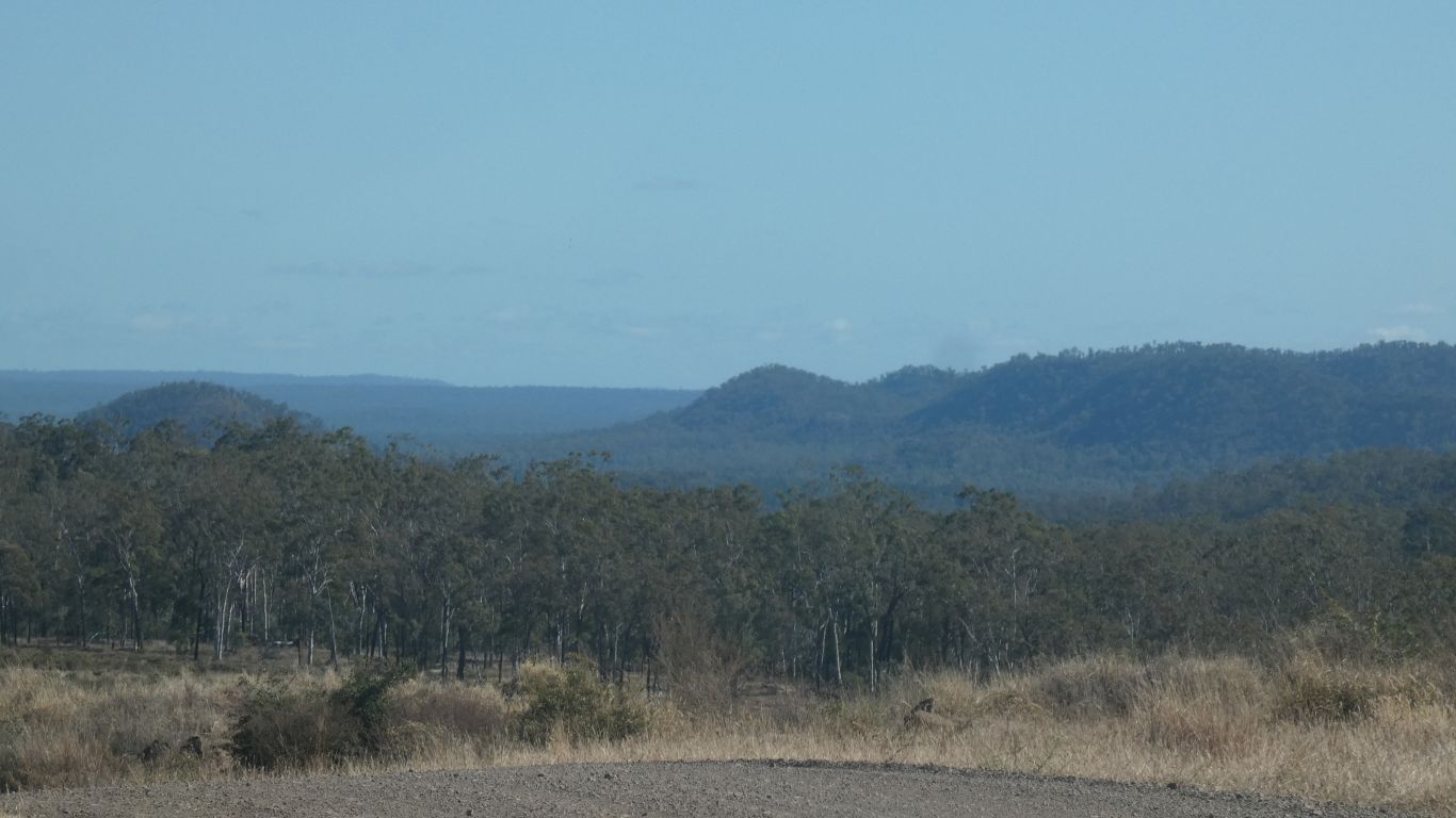
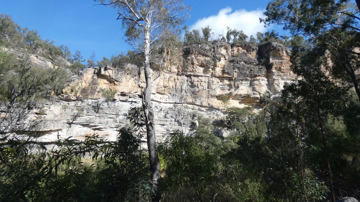
Lots of evidence of fires. Some very recent burnings, the park was closed a couple of weeks ago. And some high temperature, destructive, unplanned, fires. We can see large patches of dead trees in the distance.
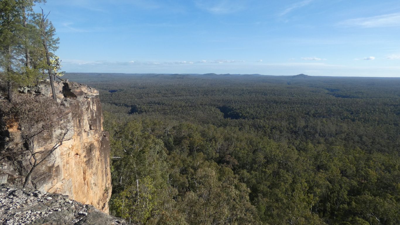
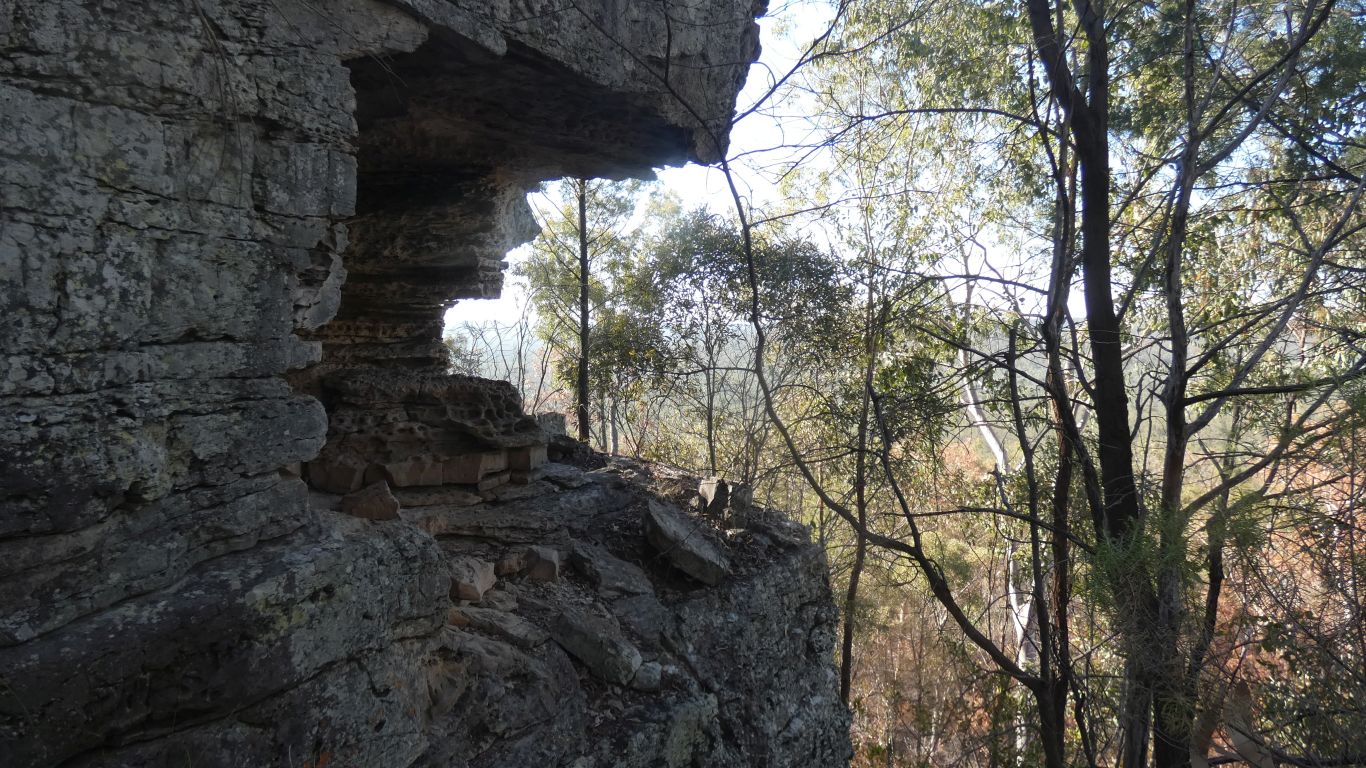
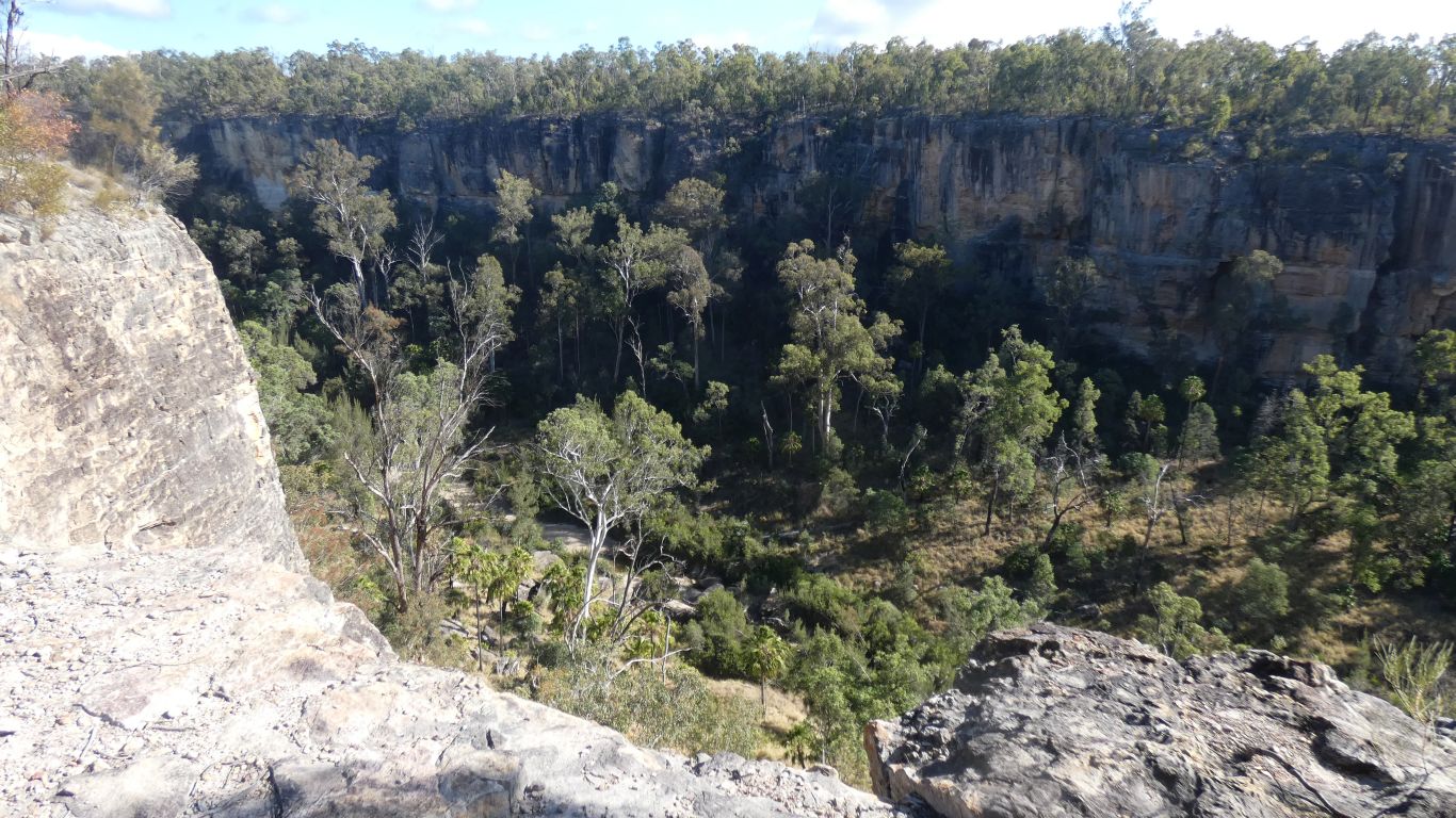
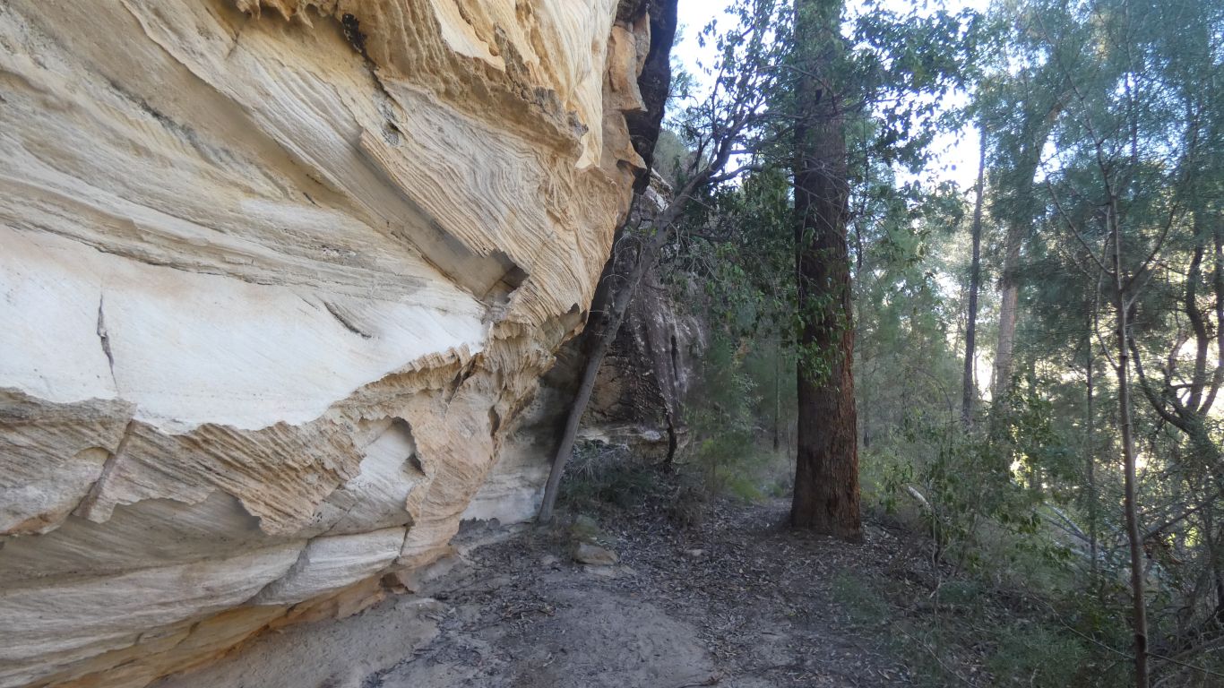
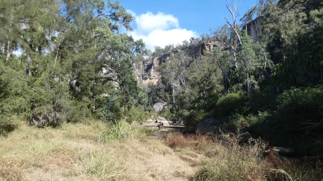
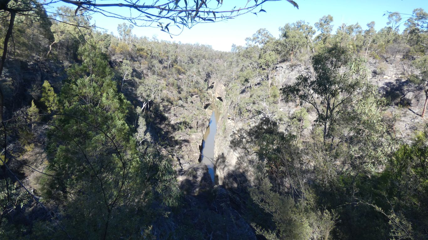
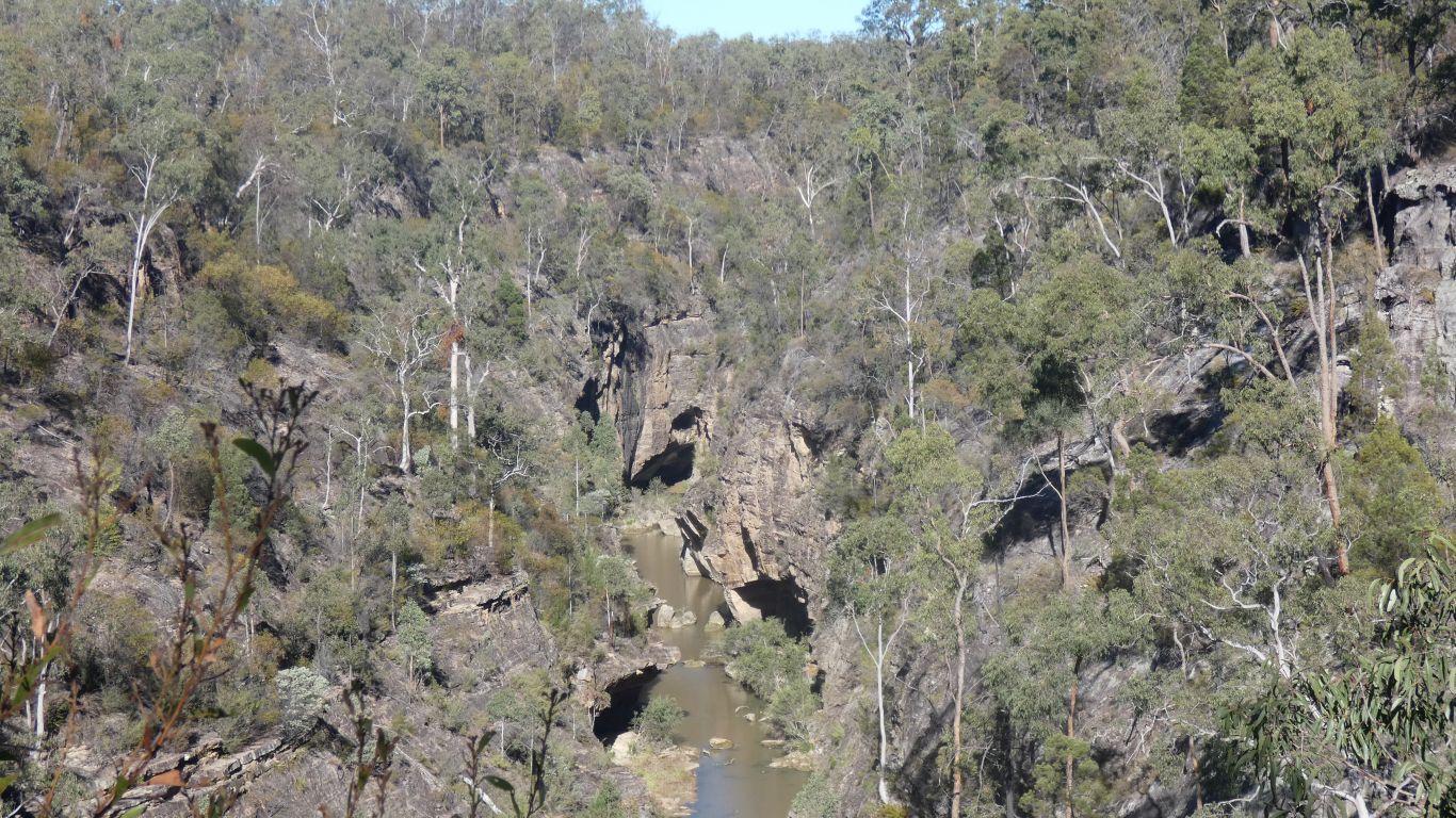
The distinctive (to me) karst formations are along the sides of the valley, and indistinct, but evident from a satellite view.
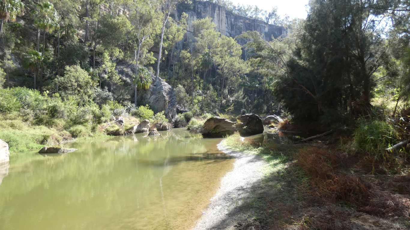
Somewhere down there is the "cattle dip" - a straight length of gorge, with another lookout at one end. A drive and a short walk, or a 6km walk from the campsite.
We don't yet have our bearings, it could be the middle of the pic, or, most likely, to the left, or ...
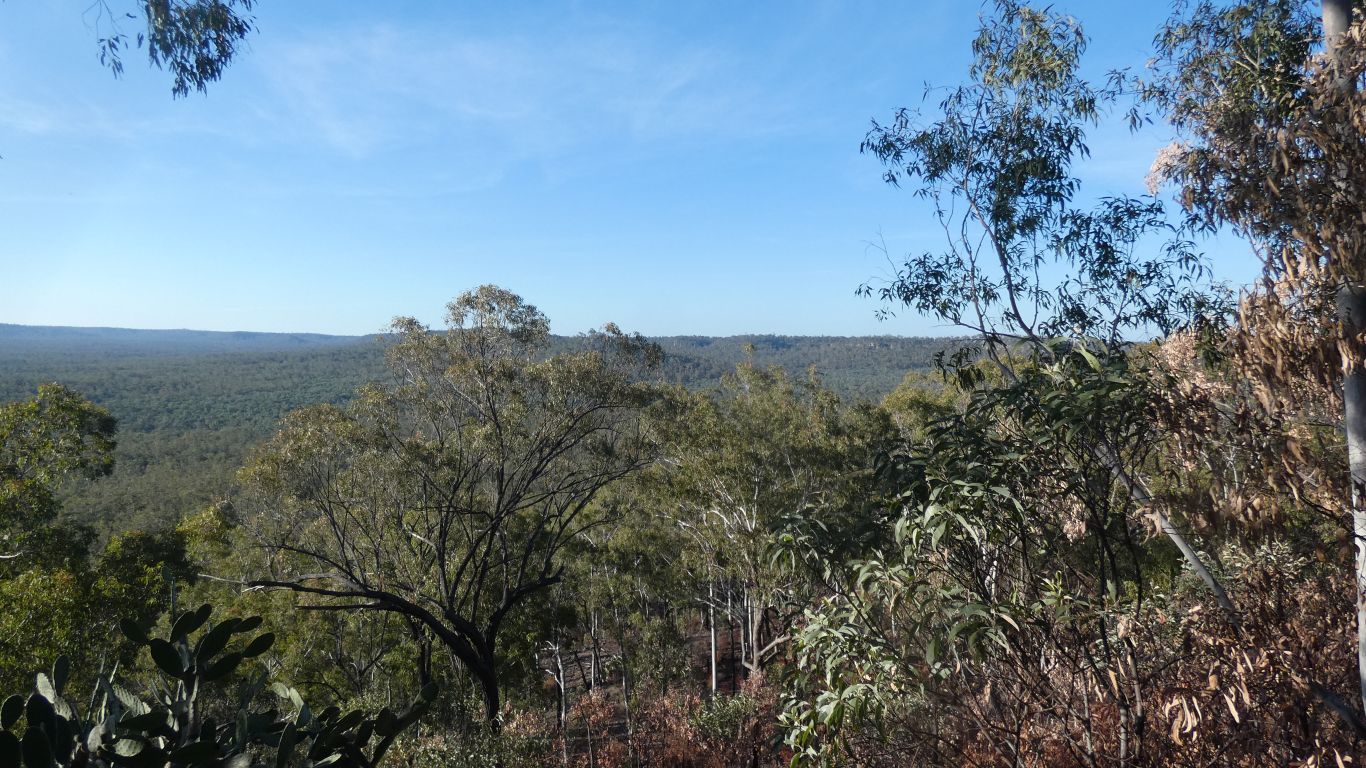
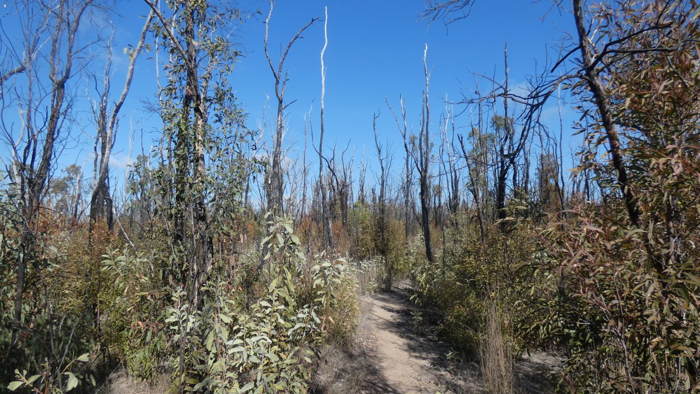
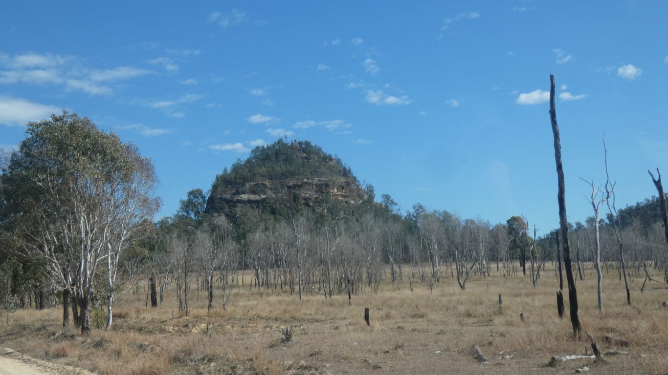
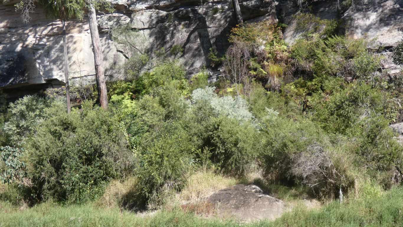
An unplanned fire through here a couple of years ago. Hot enough to kill some trees and remove the canopy.
Relatively dense bush has grown to about head height as the forest recovers.
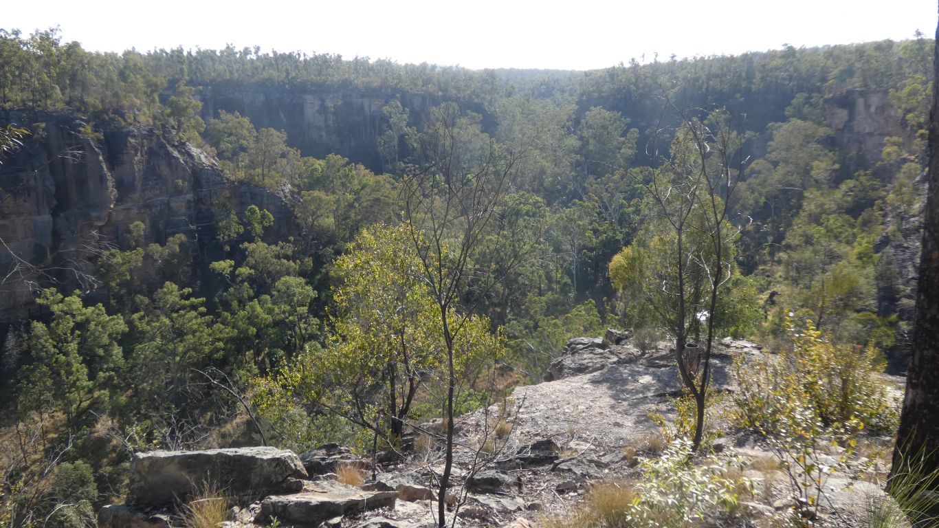
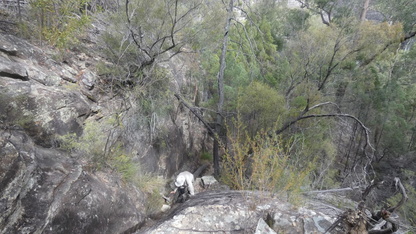
We are wary of the edge. The cliffs are vertical, with some undercut.
This pic is looking back at the steps. Always nice to know the way back.
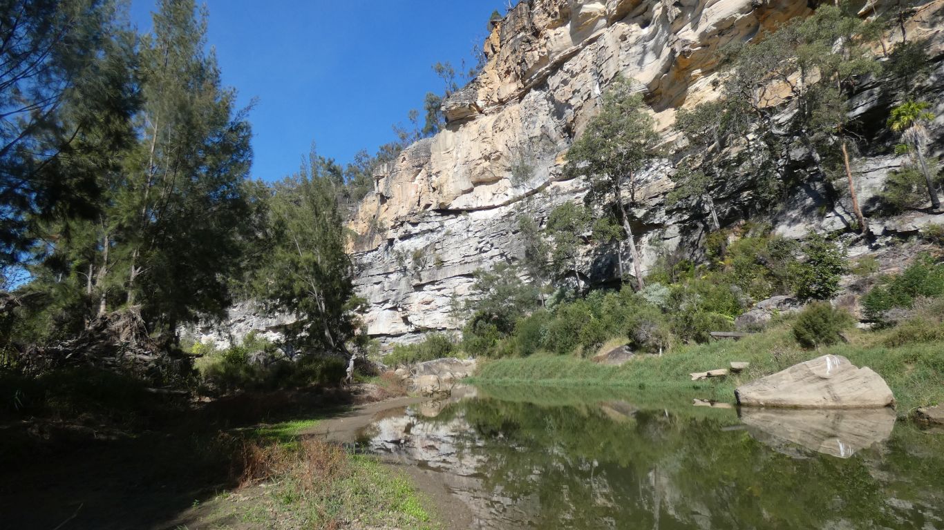
It hasn't rained for a while.
And meet a couple on their return journey. We haven't really thought about whether to walk upstream or downstream. They were returning from upstream so that's where we went.
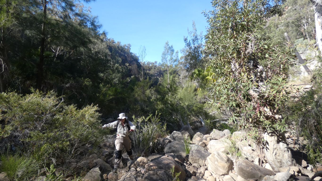
From here we found paths, a little overgrown, through mostly grass. On the way back we followed them and avoided the rock hopping. Much easier.
Pigs, and some cattle droppings. Few kangaroo/wallaby droppings.
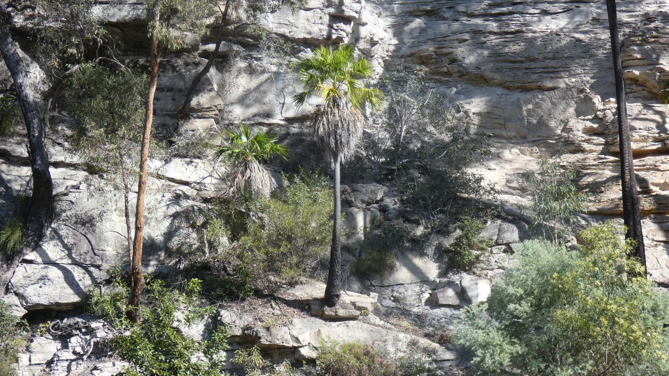
Growing directly from whatever foothold can be found in the rock.
gps says its 75m above us.
We pass our campsite neighbours on the return. They are looking for the sandy beach for lunch.
The mind is willing, the flesh is weak.
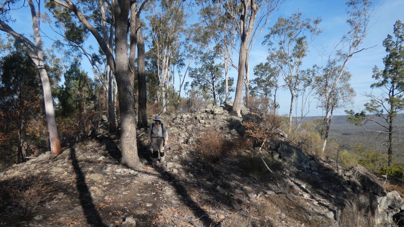
So we begin the trudge up to the top. Though its really not hard, just steep and doesn't take long.
We feel we are steadily becoming "match fit" after covid and medical stuff got in the way of travels.
Reminded me of something out of an animated Walt Disney fantasy. I expected them to squeak, jump up and down, jabber a bit, and generally strike fear into me.
Just for a moment.
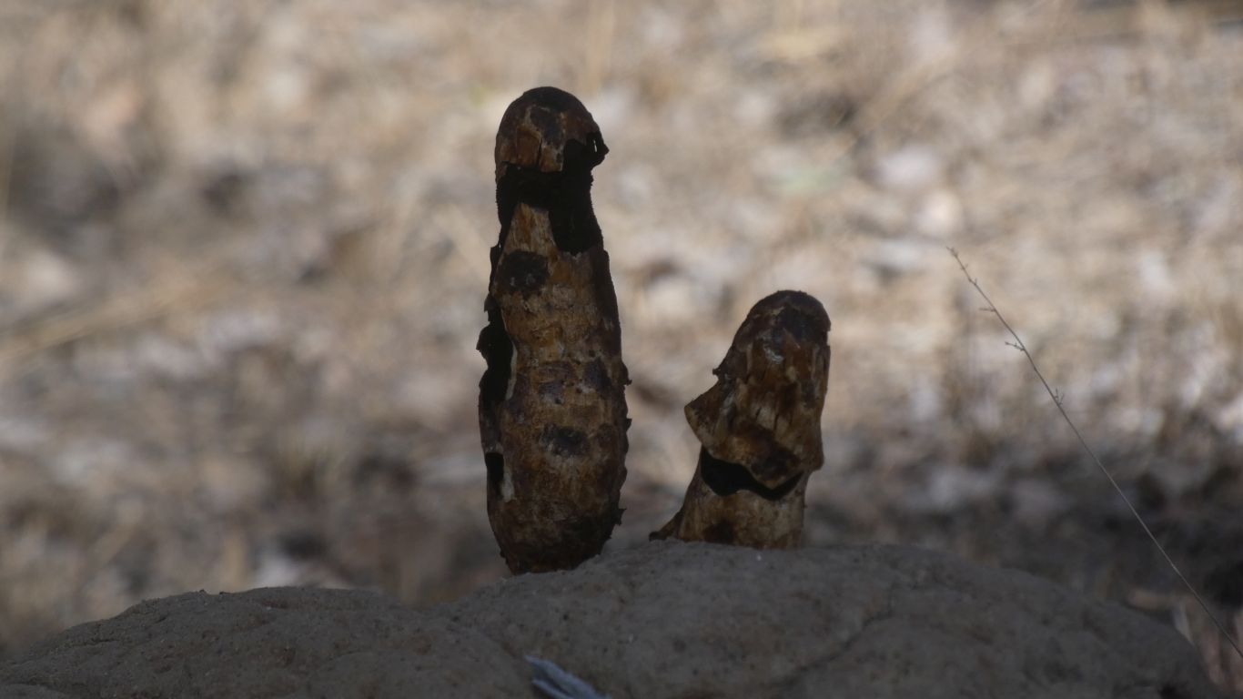
Just the burned remnants of vegetation methinks.
Apart from the park boundary fence I didn't find any remnants of human habitation on my wander.
"locally common" throughout Australia, in open woodlands.
But intolerant of human activity, which probably explains why we have not previously seen one in all our travels.
A bit like infinite gdp growth with finite resources, it becomes ever more difficult to find a bird we haven't previously seen. We'll keep looking for birds, they are fascinating. While being concerned for the planet.
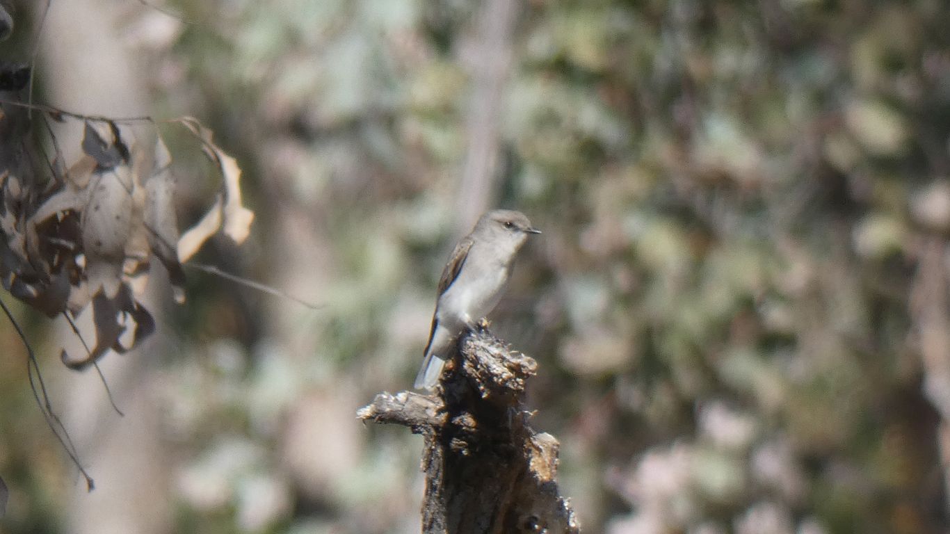
They are fly catchers, there's three or four (counting birds never our strong suit) to entertain us.
I'm always intrigued by alternate names. Jacky Winter can be called brown flycatcher (which we think is unimaginative), peter peter (which reflects its call), postboy or postsitter (we have seen it land on the posts carrying park warnings), spinks (we have no idea), stumpbird (which made taking a pic easy as I just had to keep looking at the last stump it landed on). As for the name "Jacky Winter" we also have no idea.
Rainbow bee eaters typically return to the same perch, usually on a branch, after each fly catching flight. Until they've exhausted available insects, are tired, are full, or its time to go home. The Jacky Winter we see have many perches that they move between, rarely returning to the same one they took off from. But eventually visiting all. A sort of pseudo-random pattern, if such a thing exists. So a little patience for the pic on a stump.
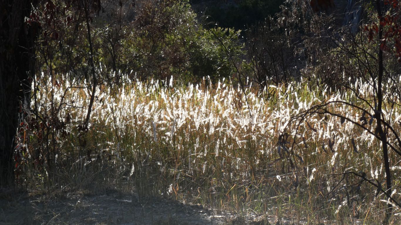
Occasionally we remember and look more closely. Caught in the morning sun.
Its the latter on the signs.
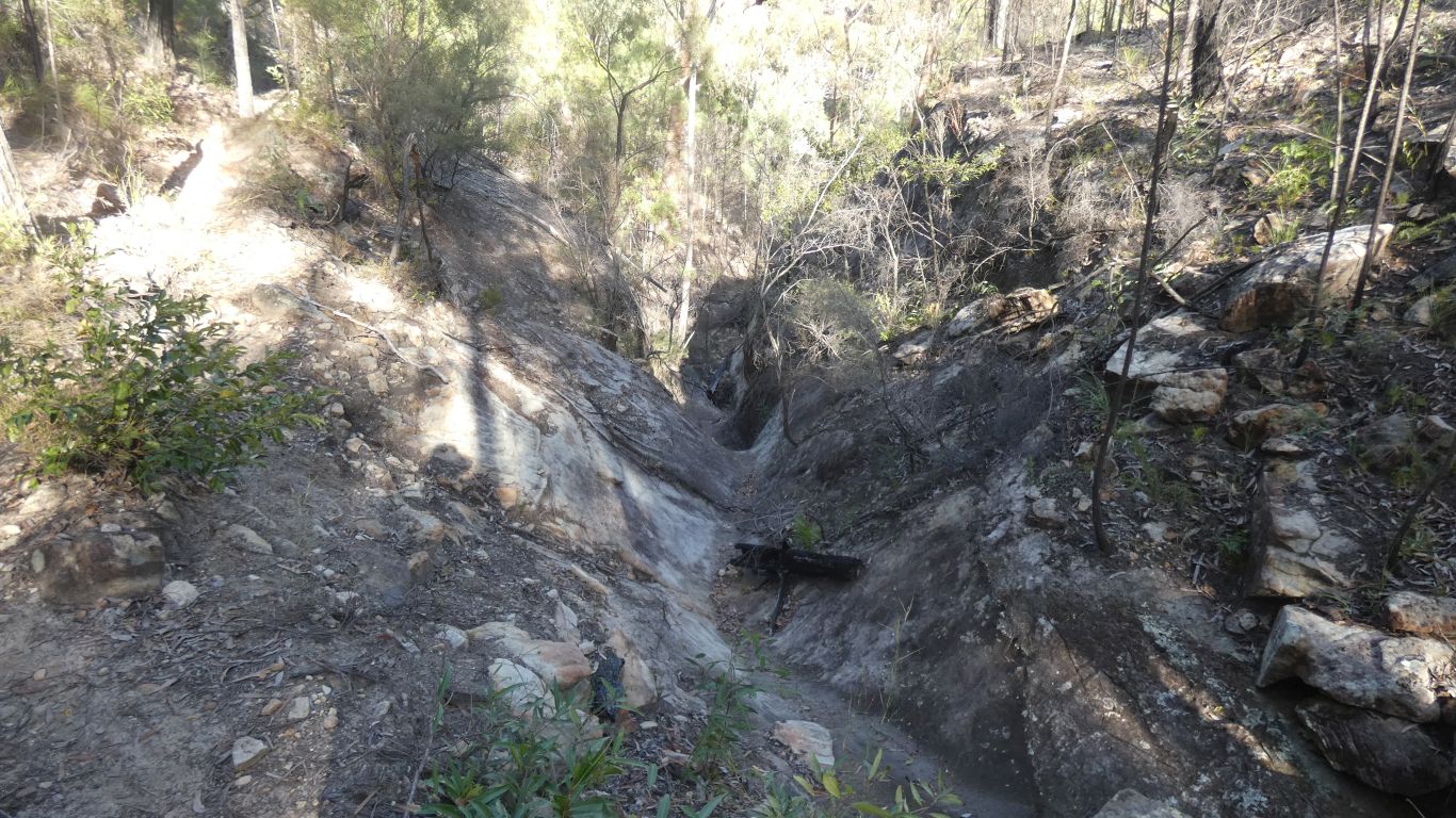
A narrow bit of Robinson Gorge.
Note to self .... close the camera aperture a stop next time ...
Its possible to walk through the gorge from yesterday's track. About 4-5km in the gorge. From this lookout I followed a track east, along the side of a steep gully until I could cross it. An old blue arrow on a rock to mark the indistinct track.
I followed the track a bit south, parallel to the gorge. From the lookout it looks like there is steep access to the gorge if I had followed it far enough.
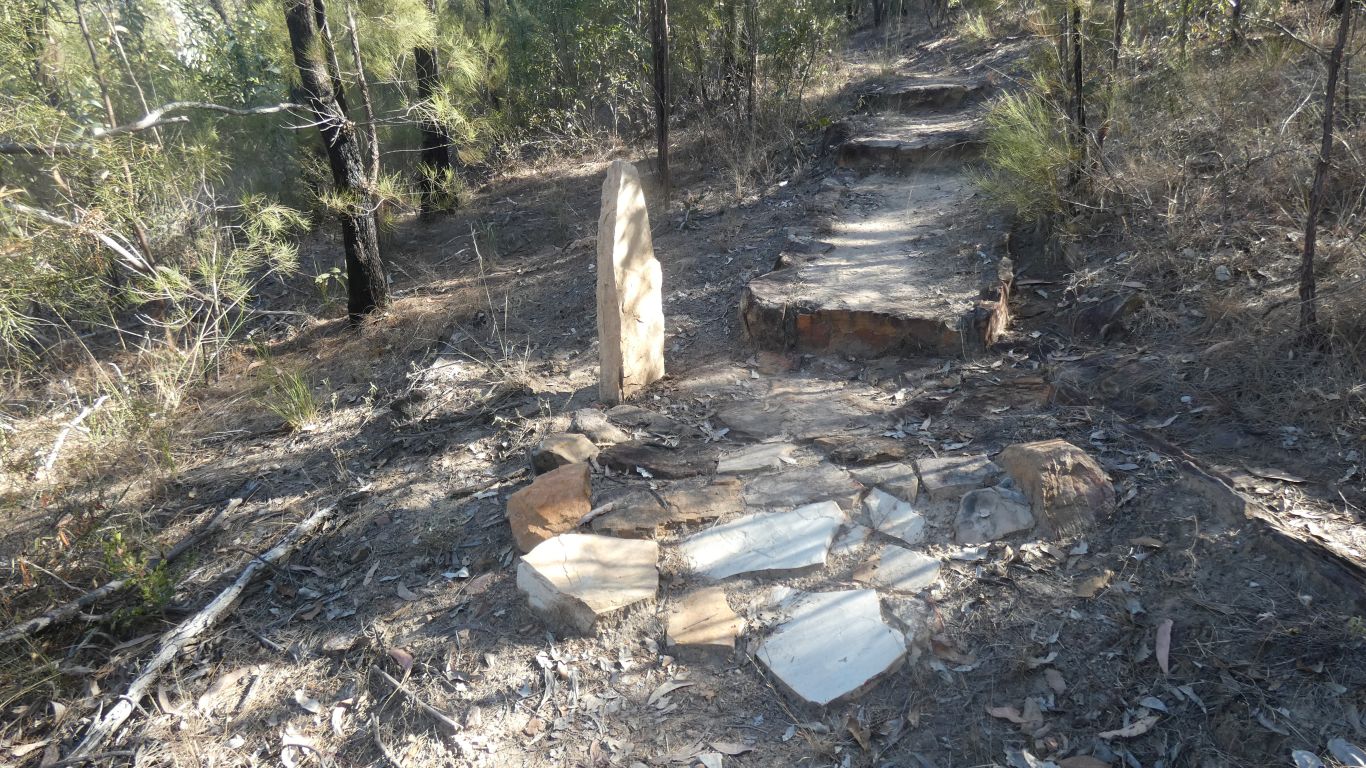
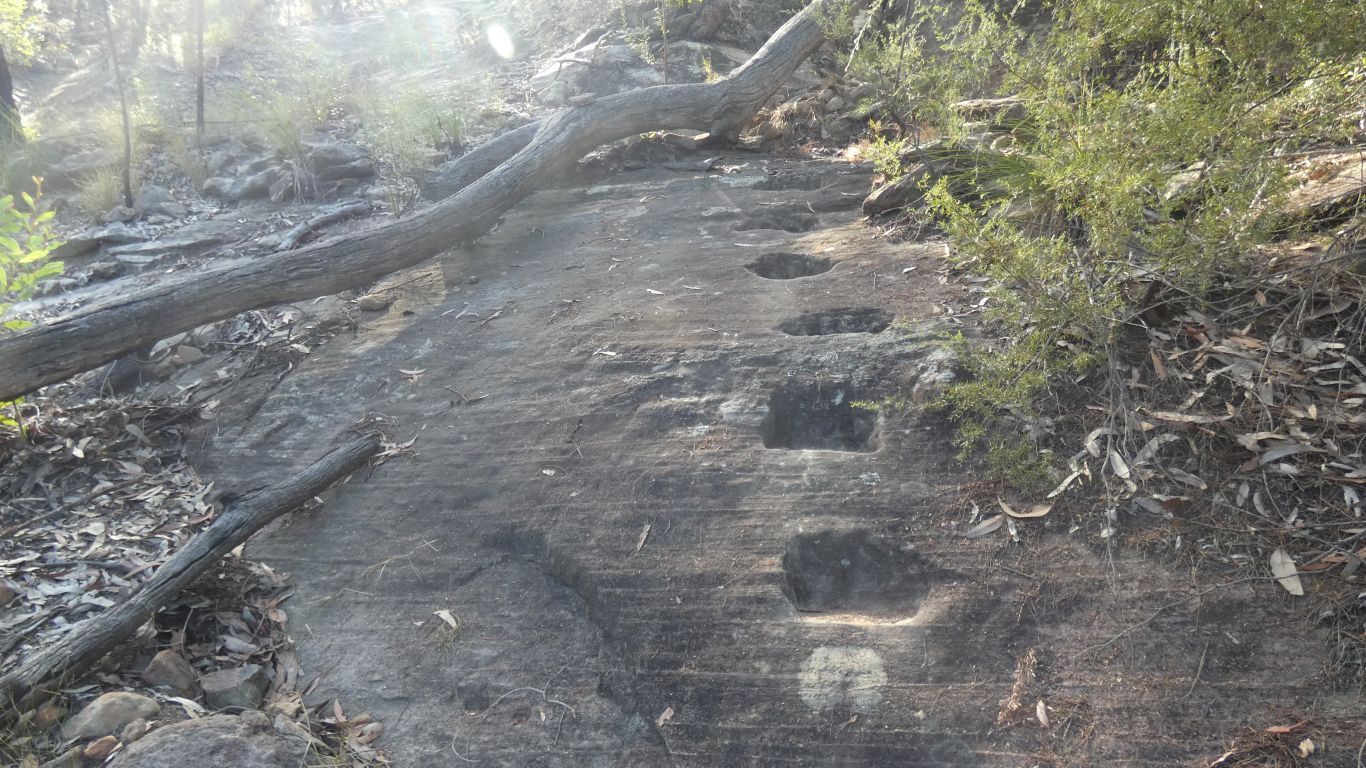
Though it is a nice standing slab of sandstone.
Just needs a bit of engraving to make it a Mongolian deer stone.
Back at camp by 10:30. A cup of coffee. A rest. A bit of exploring.
The site of the Shepherds Hut is on the other side of the road from where I looked yesterday in my wandering. A big sign as we drove to the cattle dip lookout.
Looked like the grader driver had used it as a turnaround or park. Looking around I found no sign a hut was ever there. No old corrugated iron, no stumps or foundation, no fireplace and chimney, no shaped timber.