The Comet River, which is partly sourced from Carnarvon Creek, flowing out of Carnarvon Gorge, flows northwards through the valley.
The Dawson River sourced from a different, but close, part of the highlands, flows from one side of the the horseshoe and through a gorge in the other side, flowing eastwards.
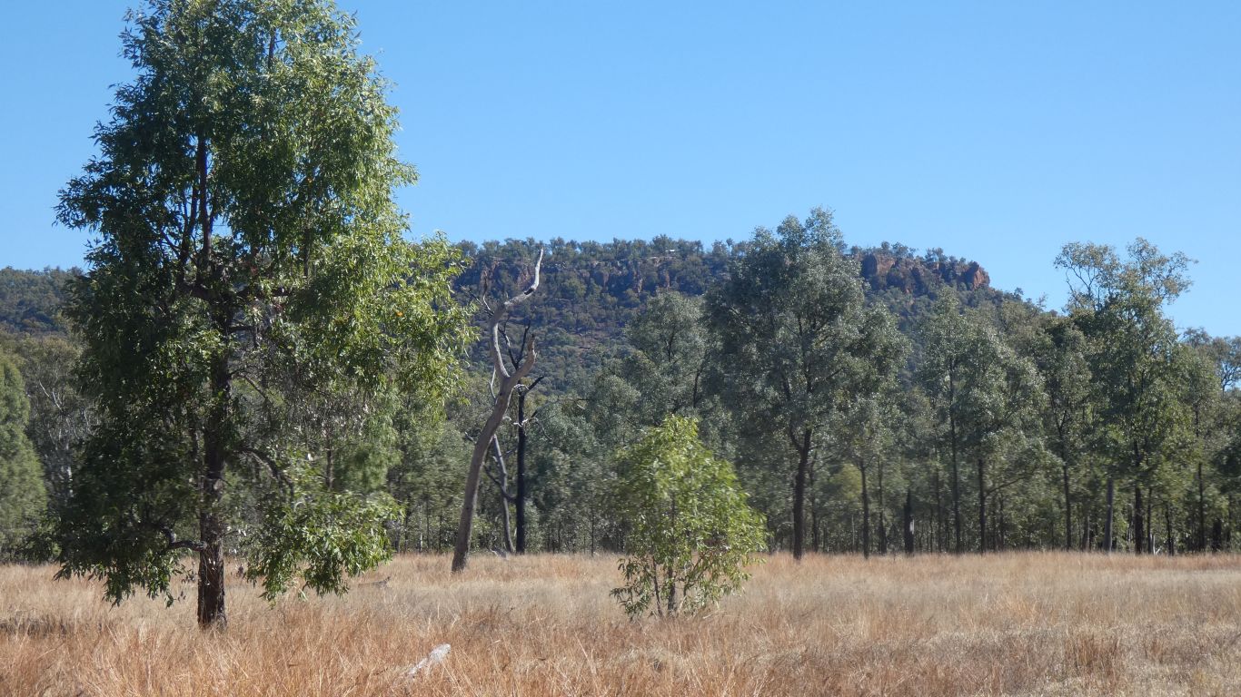
We feel the valley closing in on us, as the sides become closer to the road.
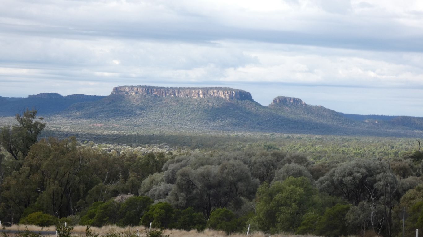
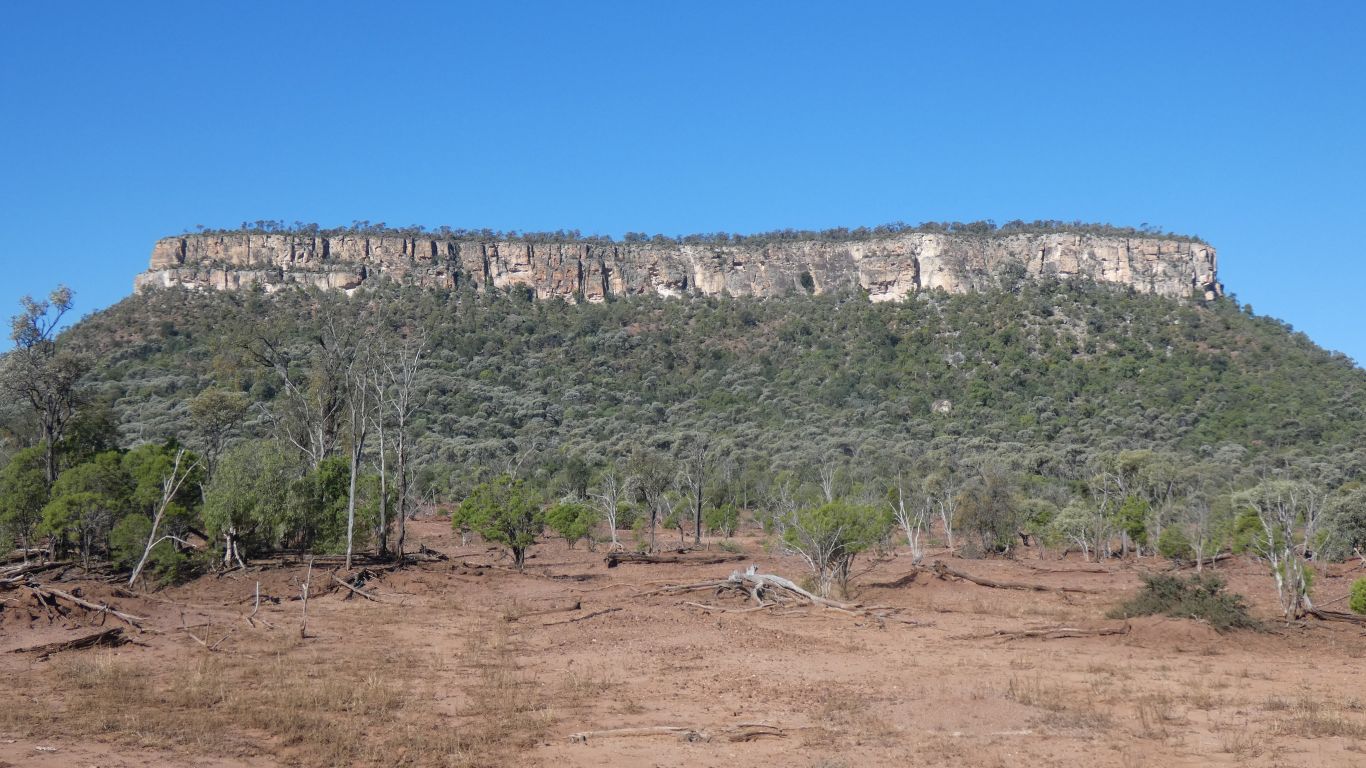
This, unnamed, in particular caught our attention.
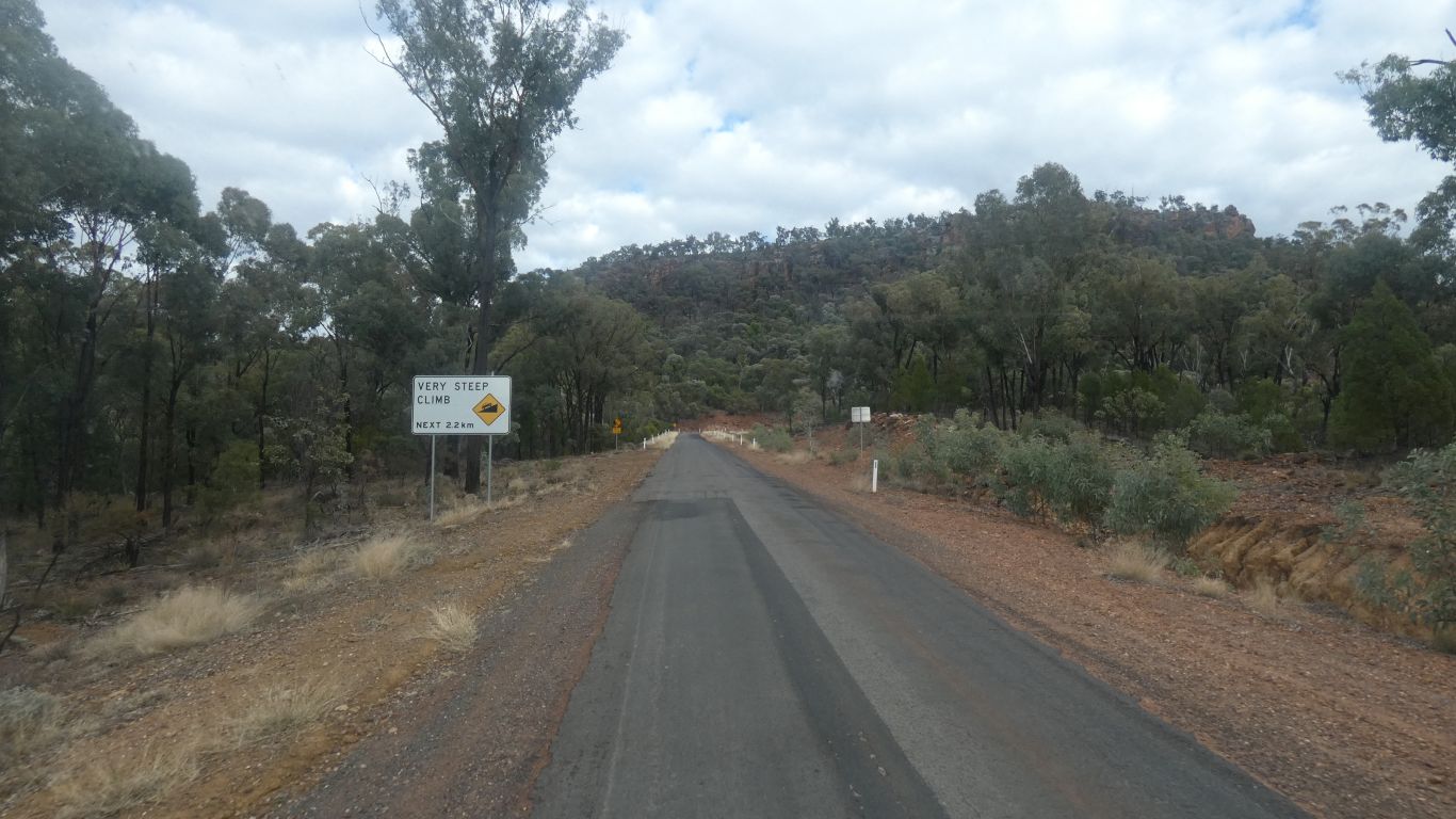
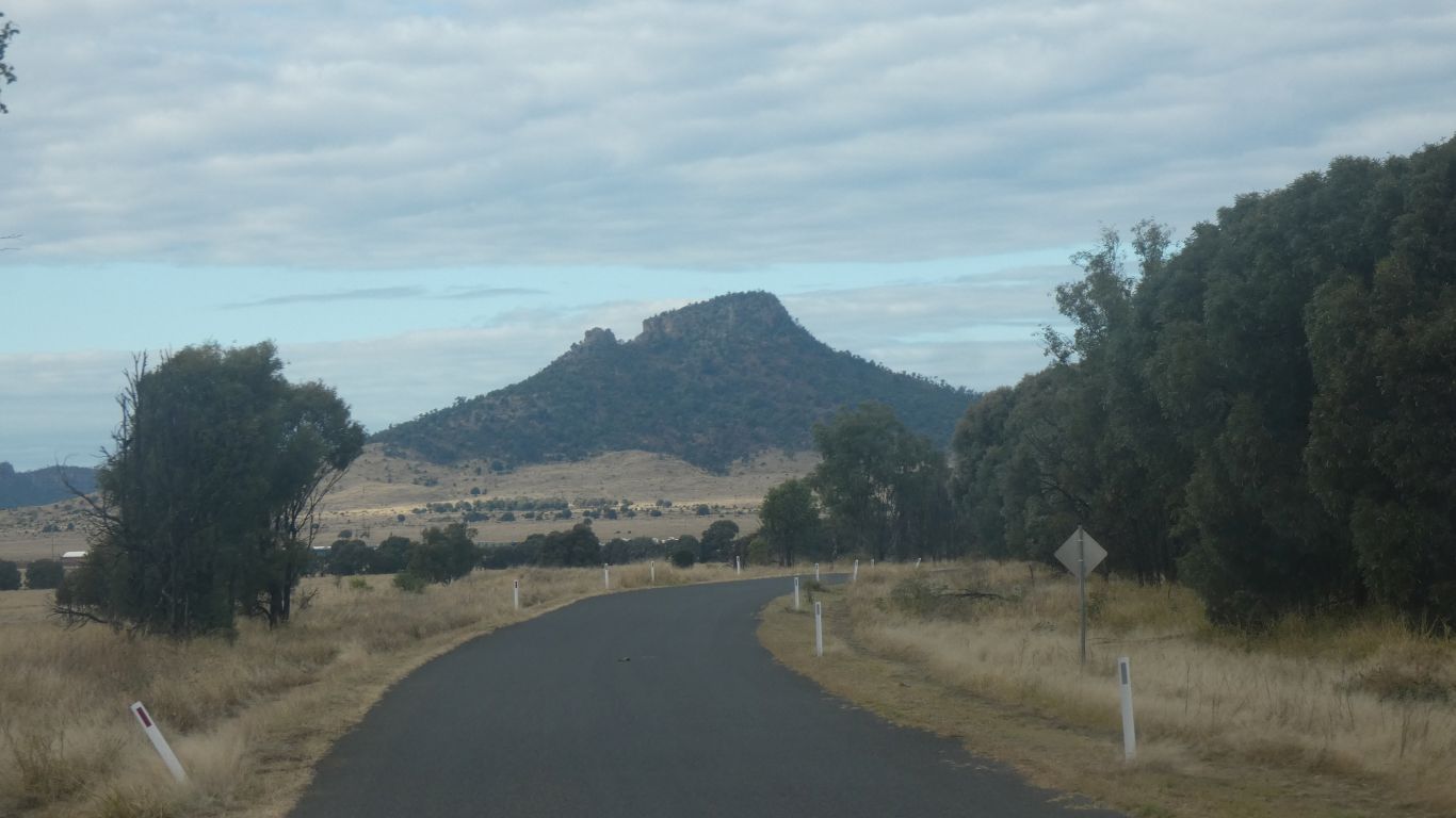
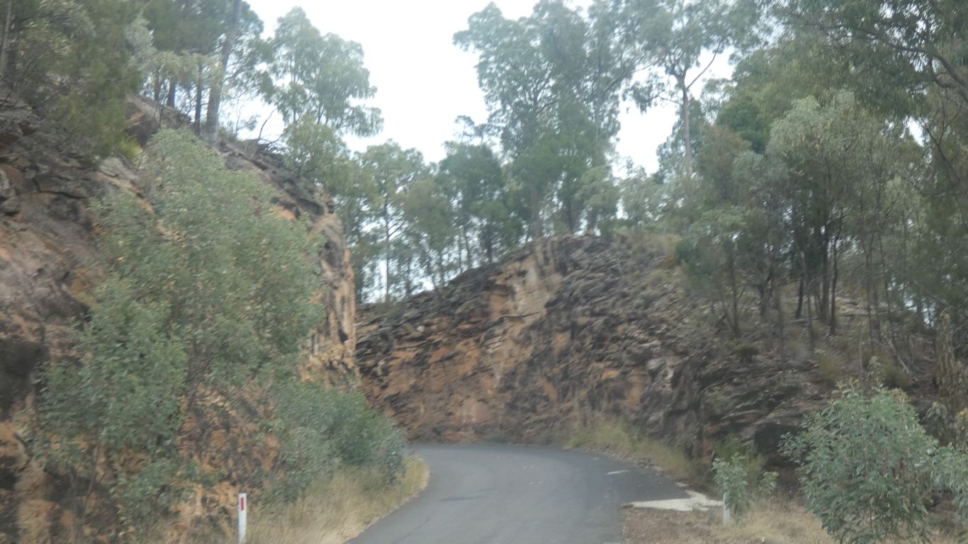
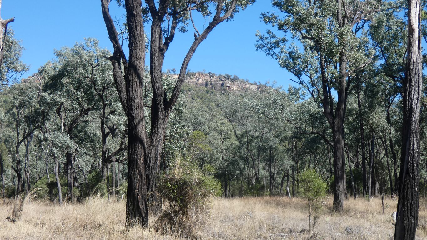
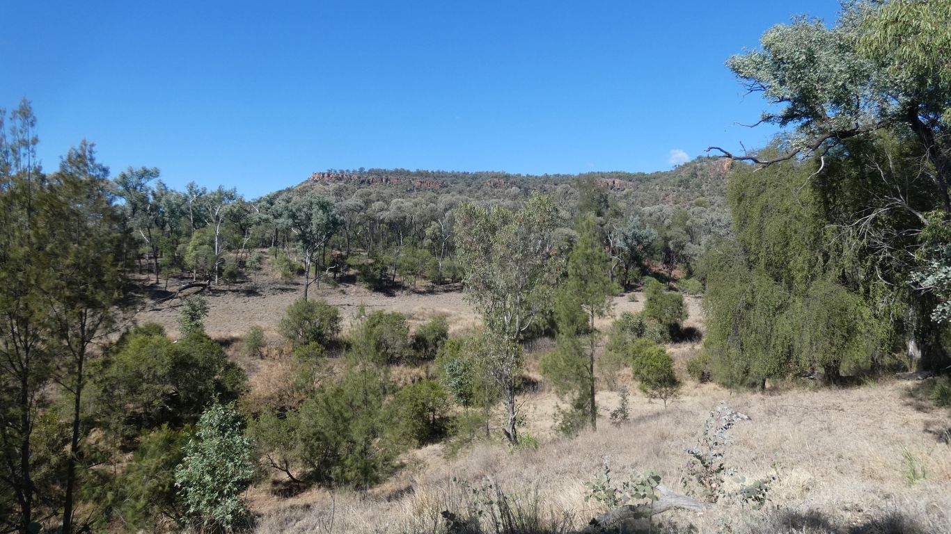
The road has a constant grade around the right hand side of part of the escarpment in front of us.
There's a lookout at the top.
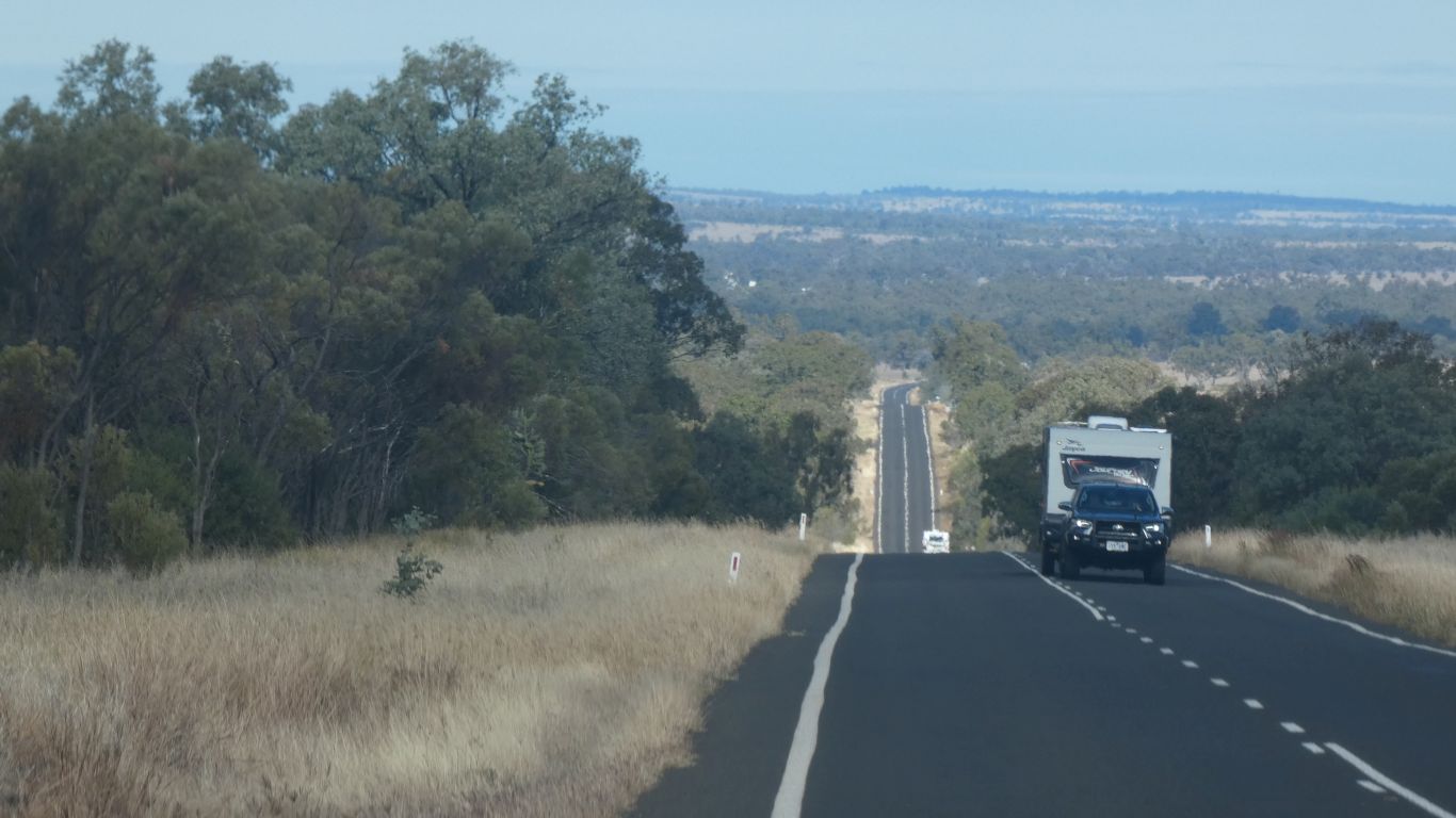
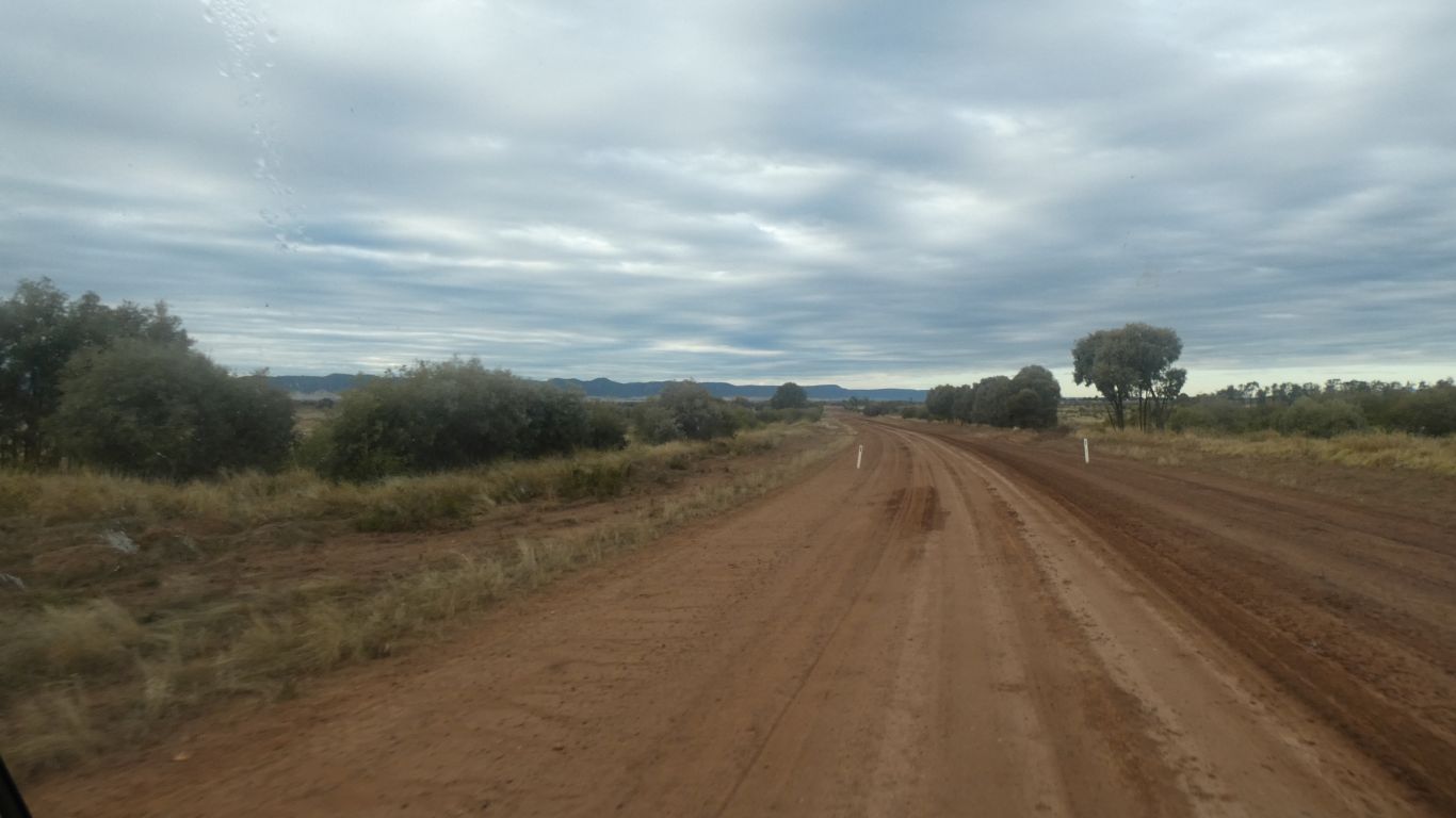
So we turn south at the Carnarvon Highway. Formerly the Carnarvon Developmental Road.
And meet the flow of caravans
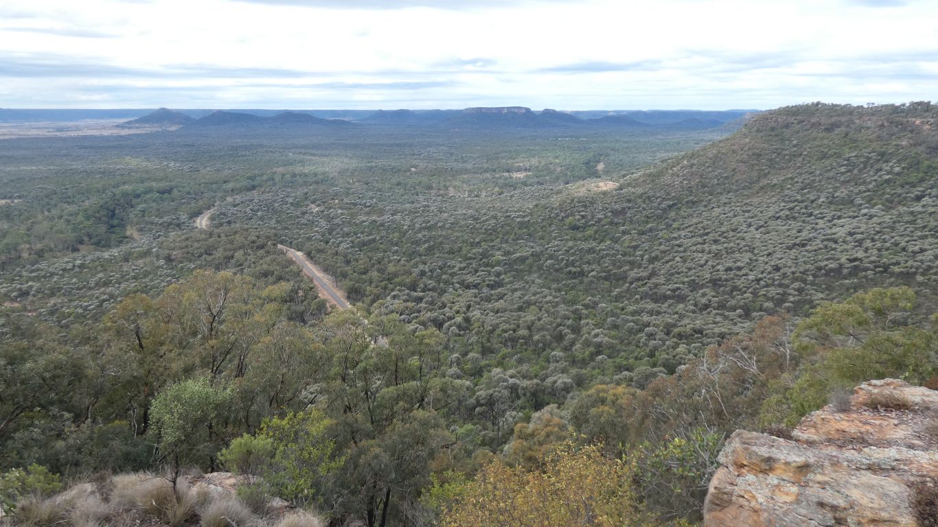
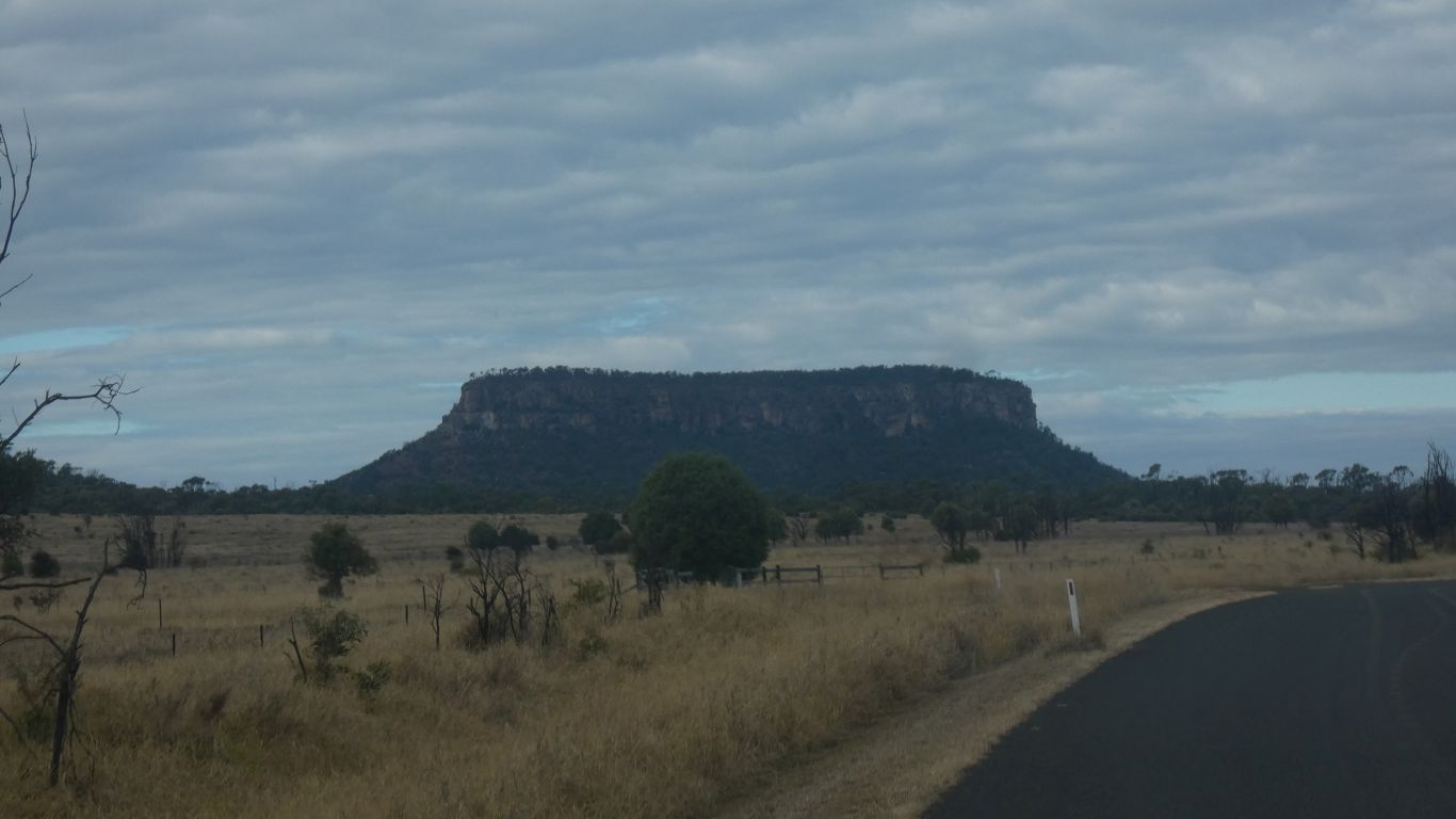
We stopped at the lookout (we passed earlier).
To lookout ..... as one does.
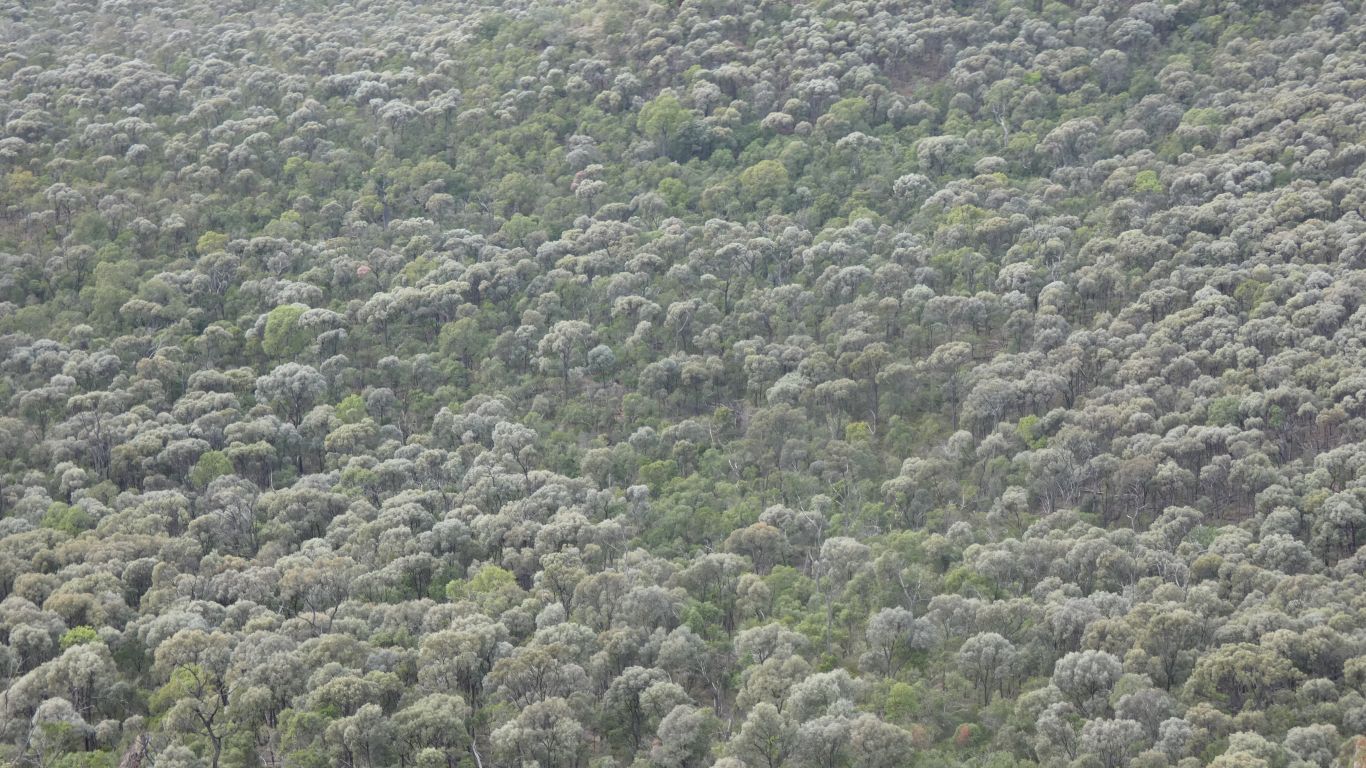
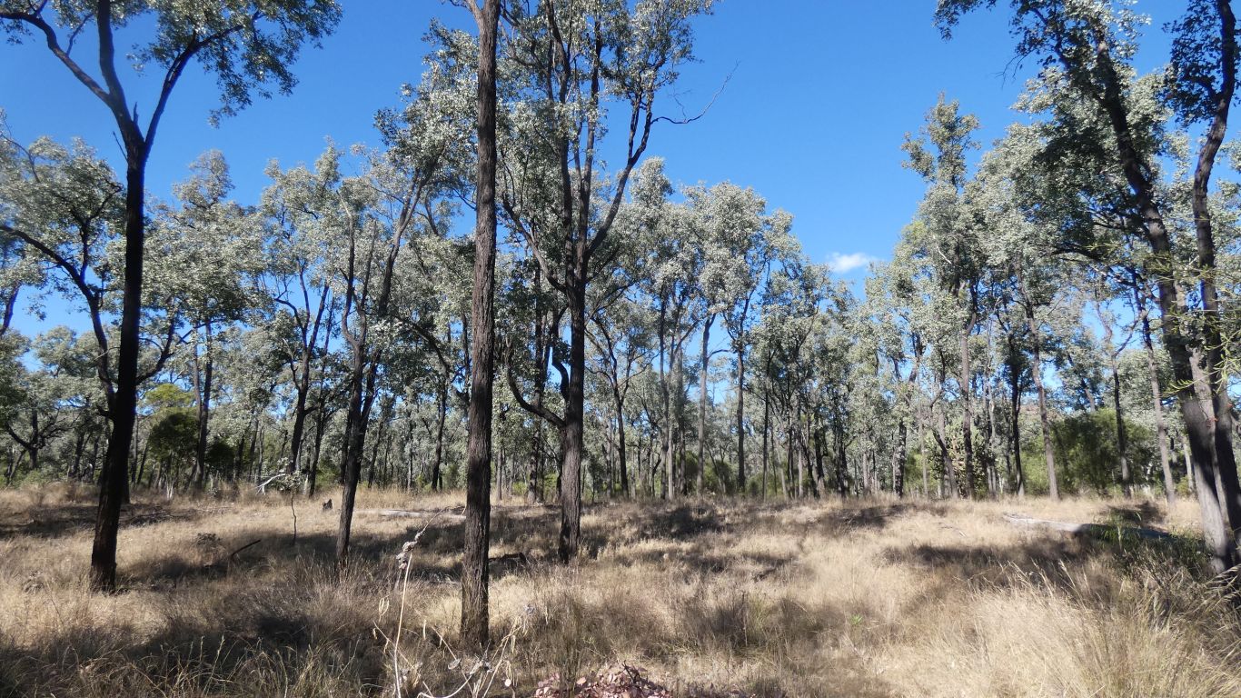
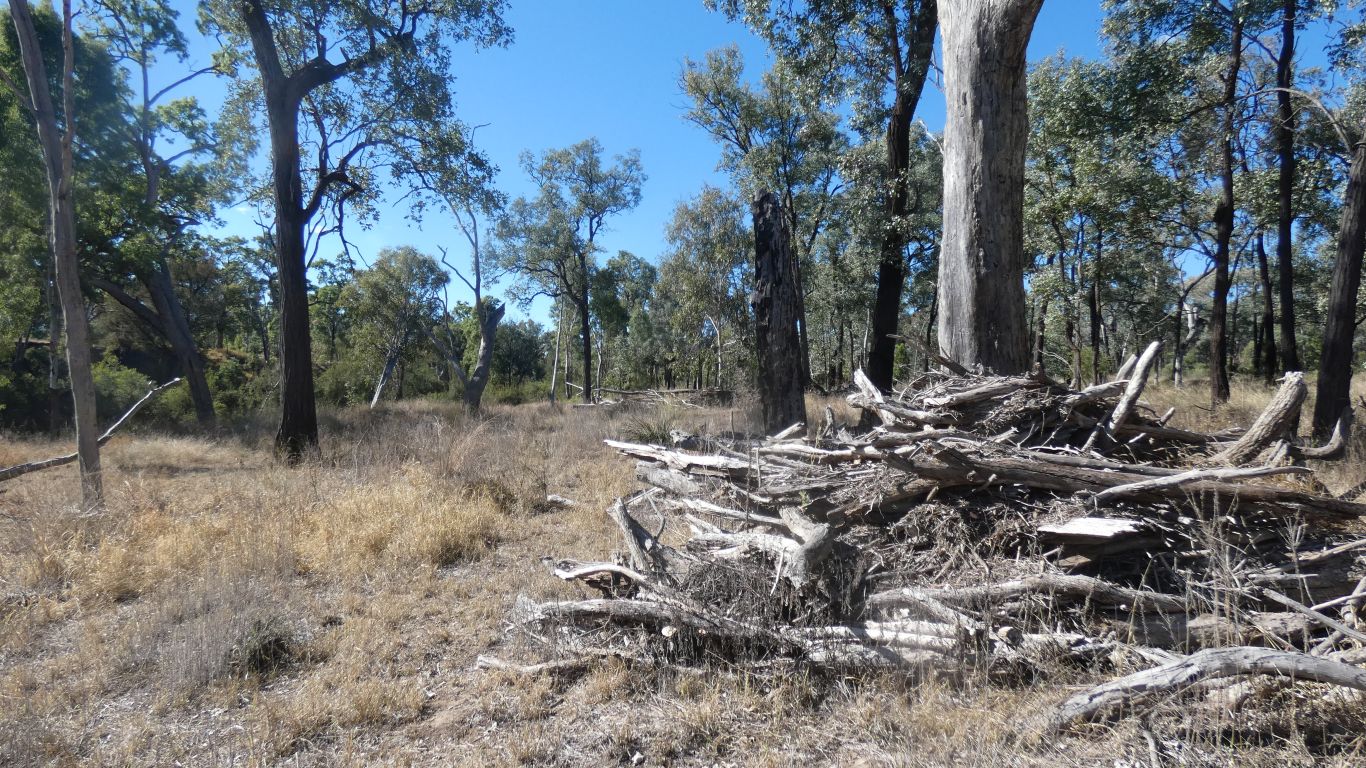
A failure on our part to really distinguish the acacia from any other tree.
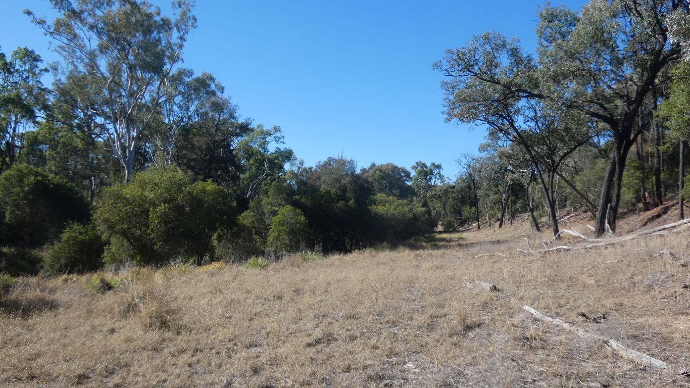
Lonesome, named after the station, has easily recognised large stands of brigalow. Obviously dominant in places. Of course, we said, looking down from the lookout.
The significance (to me) is that brigalow forest used to cover vast areas of Queensland, but the conditions which led to that are also conditions which are good for feeding cattle, which involved clearing the trees. There are small pockets remaining, of which Lonesome is one of the larger.
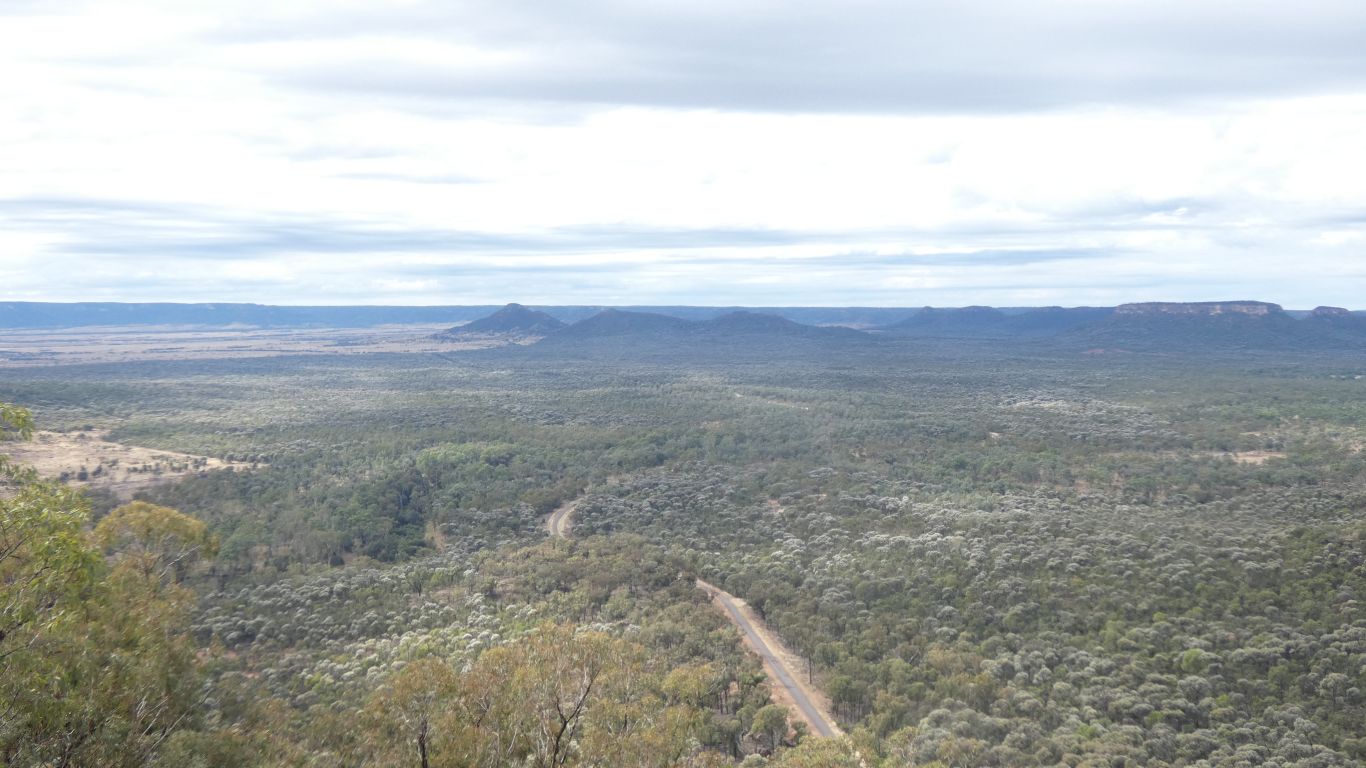
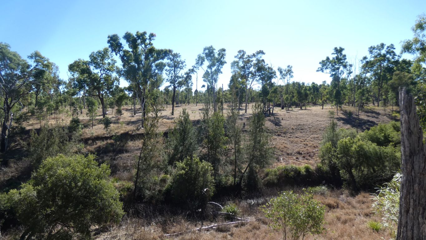
We are looking north eastish through the Arcadia Valley.
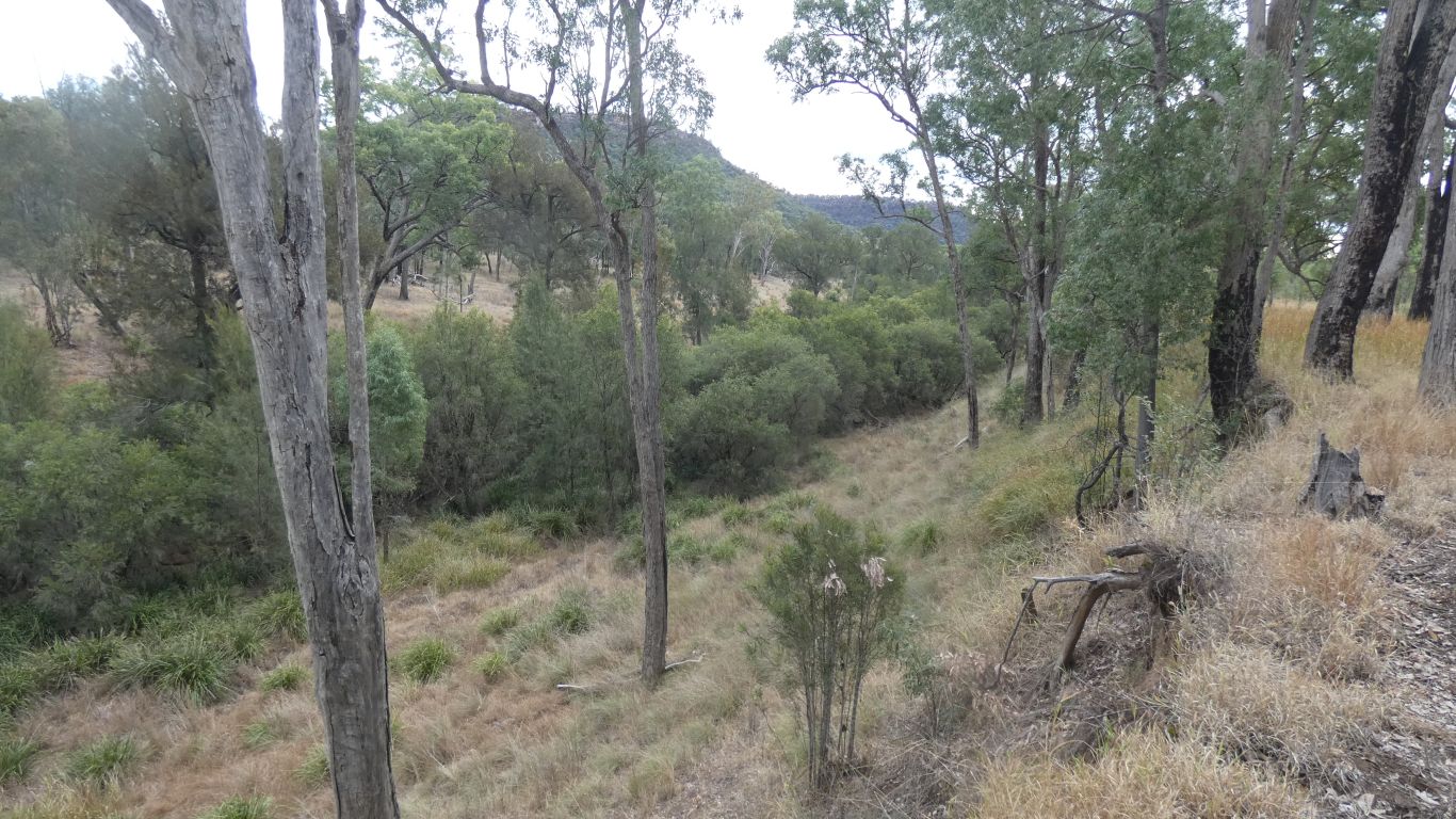
There's a deep, narrow, channel, hidden in the bushes. With a wide bench either side, rising to the flood plain that we are camped on.
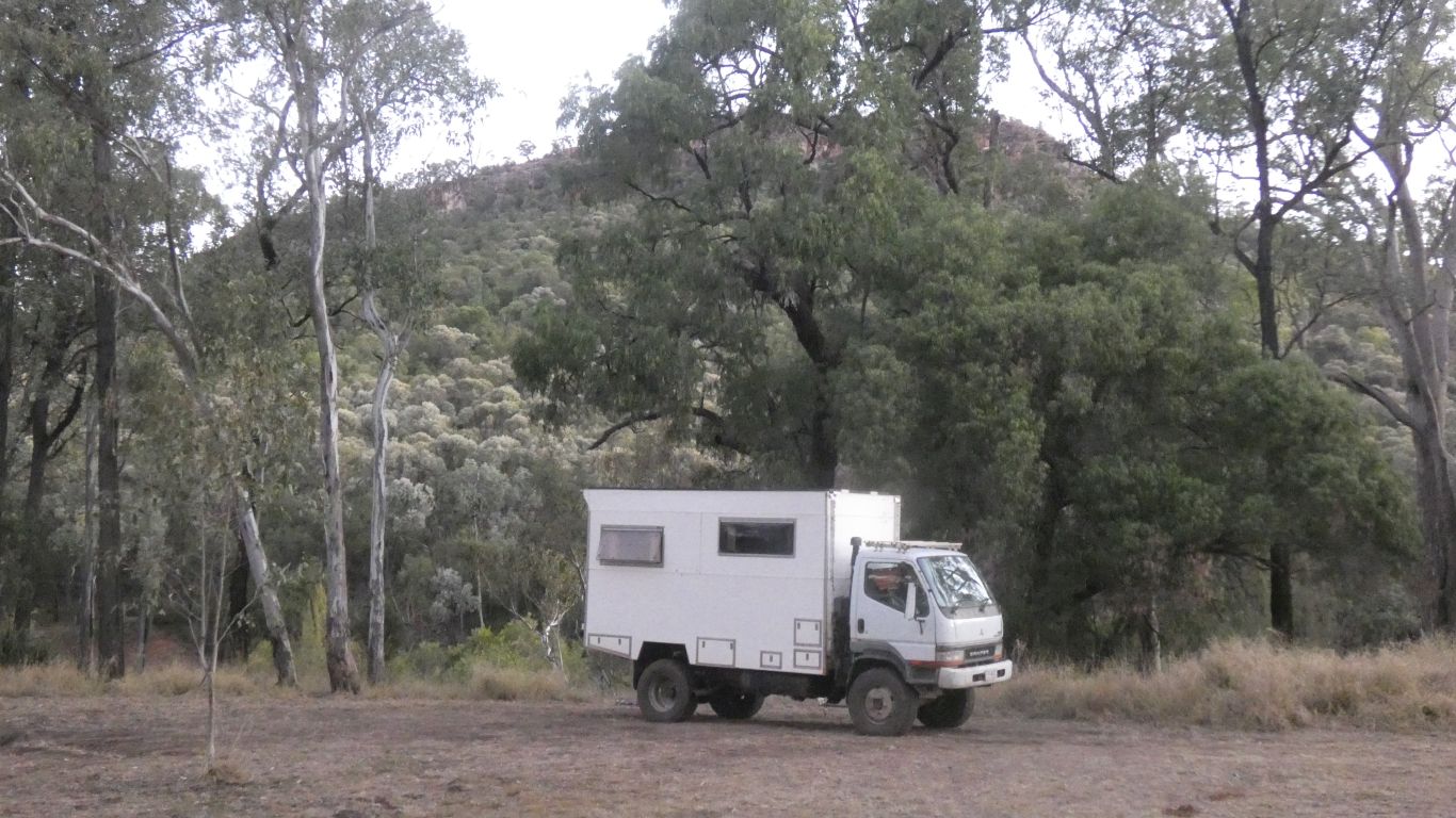
This was just the evening exploration. Along the road a little, and a pic taken from behind the truck.
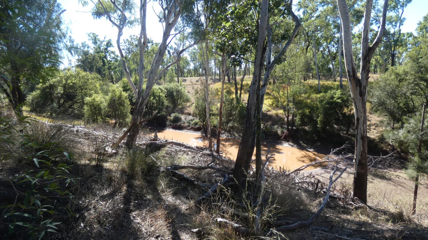
A gentle stroll along the banks of the meandering river.
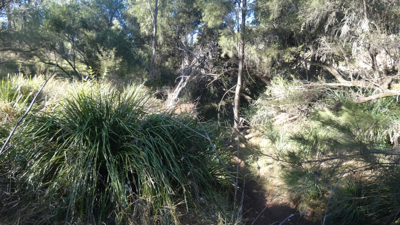
But first to cross it. A bit of a scramble.
Which is not difficult as its all around us.
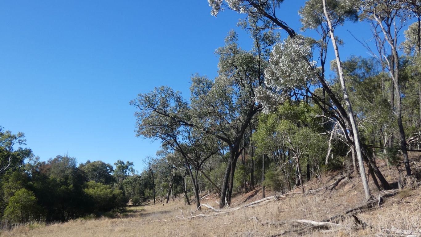
I'd so far concentrated on the pasty, olive green, colour of the leaves. Something I read suggested silvery.

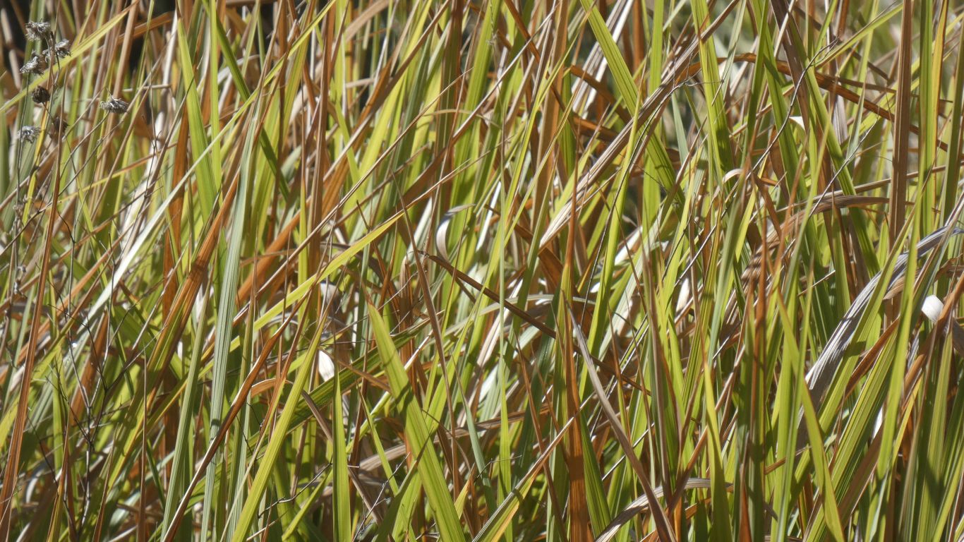

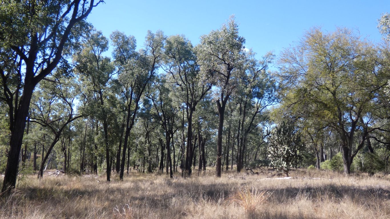
There is no mistaking how distinctive they are.
Though we know from past experience (is there any other type) that we are unlikely to remember sufficiently to identify anything in strange or new circumstances.
Having spent many happy hours (a few years ago in a far off land) trying to distinguish between firs and pines from the number of needles we can't remember which is which.
My answer is no. Sufficient for us to know that some trees have more needles than others, that some trees have broader leaves than others, with leaves of different greens, and bark of different texture.
We are happy to gaze at patches of forest and see diversity, or as in the pic a dominance. We only need labels for things to communicate with other hmans. Moreso when there isn't a pic.
I have to assume the answer is "yes" as internet searches fail to reveal a definitive answer to me.
At some stage the river has flooded the bench, and probably overflowed onto the plain.
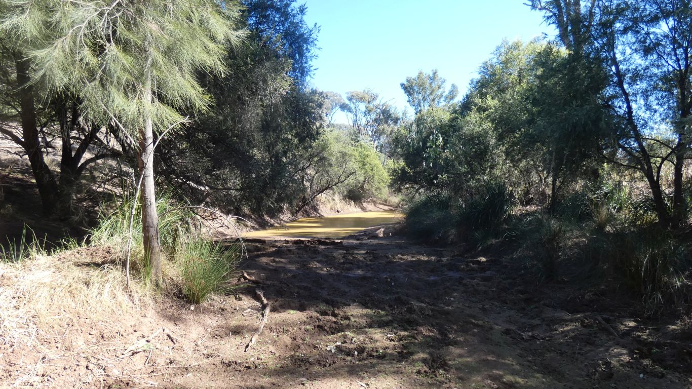
Cross the river that is.
And the cattle, who's tracks we have been following, make the decision for us.
It looks muddier than it is. Sufficient to bear our weight without sinking more than a few mm.
We can't get close enough to the river to know if we are following the main channel or have been diverted up a wide gully.
We can look back at the escarpment and realise we have followed the river for 4km.
We had been following a gully.
A 4km walk back along the vehicle track, on the south side of the river, counting the times we entered and exited the national park.
The track with a few creek crossings, recently maintained, though with a bit of mud remaining in places.
In a few days we will be camped at Beilba, about 10k SE of our Lonesome camp, also on the Dawson River, but lots of km by road, and also we'll visit Carnarvon Gorge first.
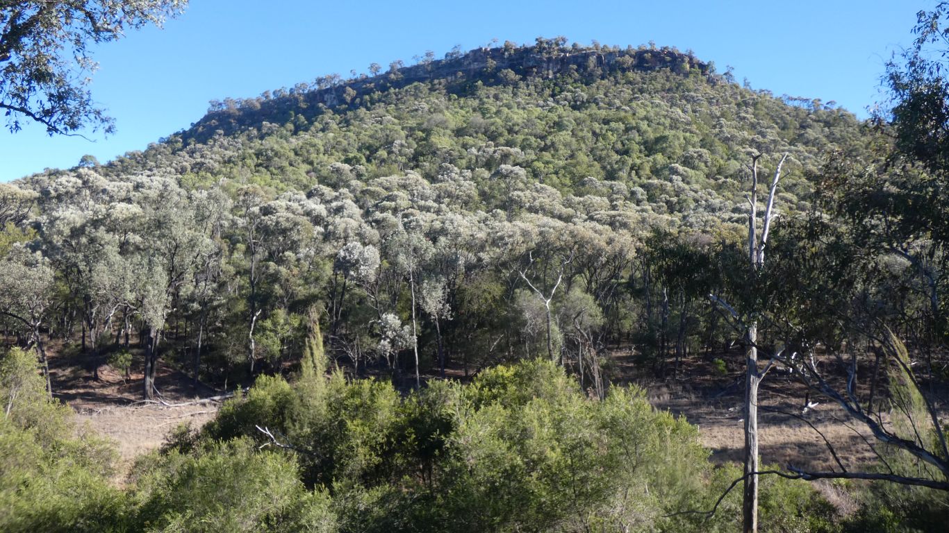
And the now very obvious brigalow.