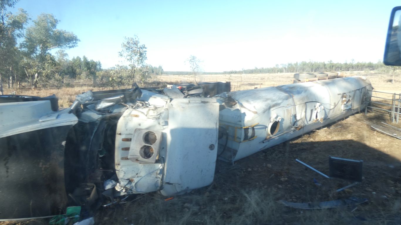
A gentle reminder to be careful on the roads ....
Apart from its higher than surrounding plains, and probably colder.
A bit of a drift away from, or perhaps towards, precision. There is Mt Moffatt, the conical mountain, that rises 300m above its surrounds. And there's Mt Moffat the new station. Either that or the maps are wrong! For now we are headed to the Mt Moffat Section of Carnarvon National Park. The several sections of the park seem to be independently managed.
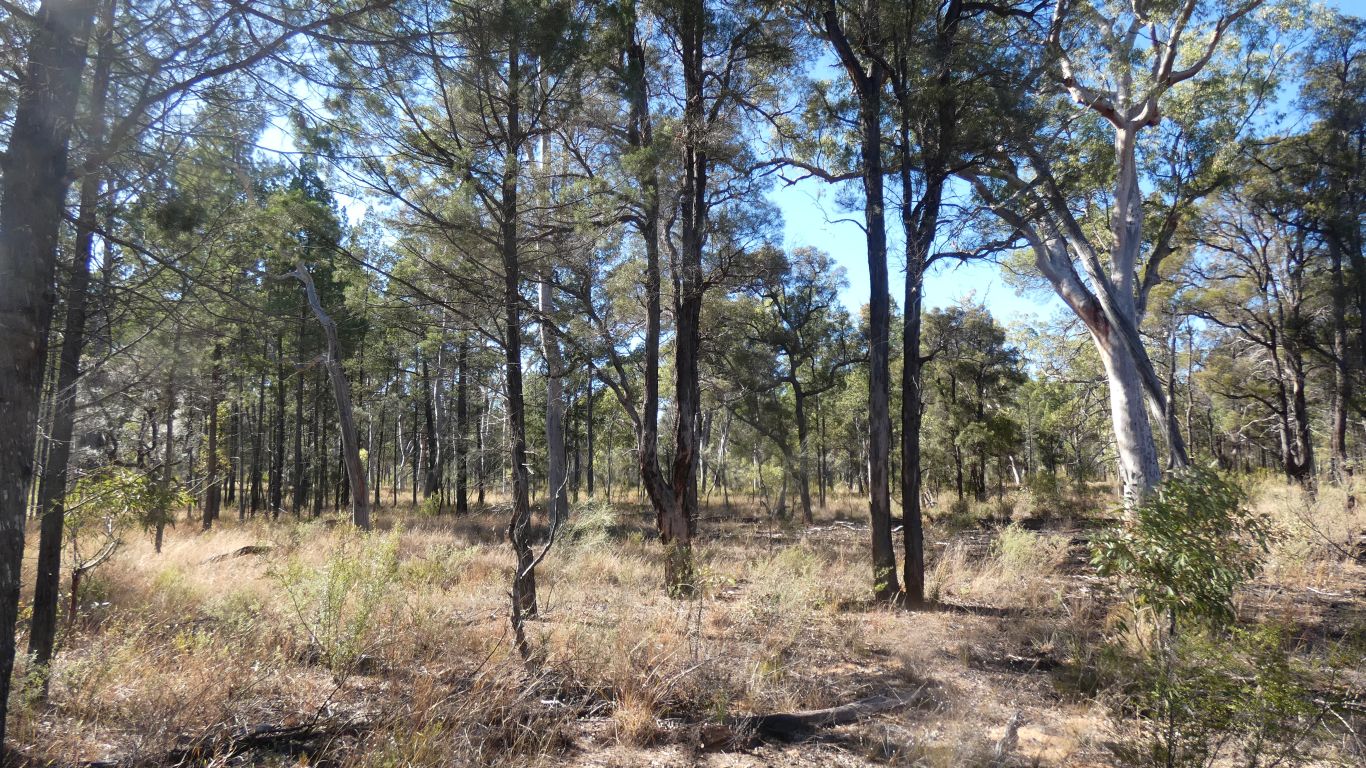
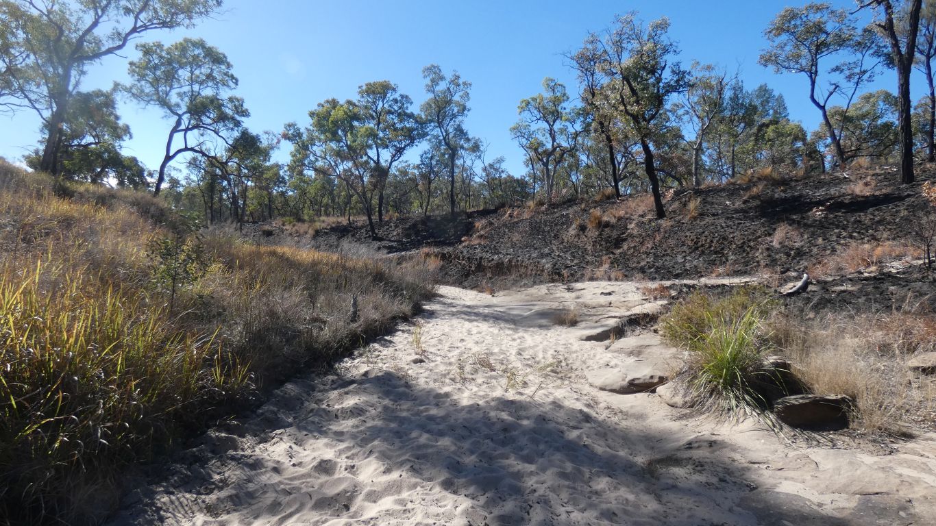
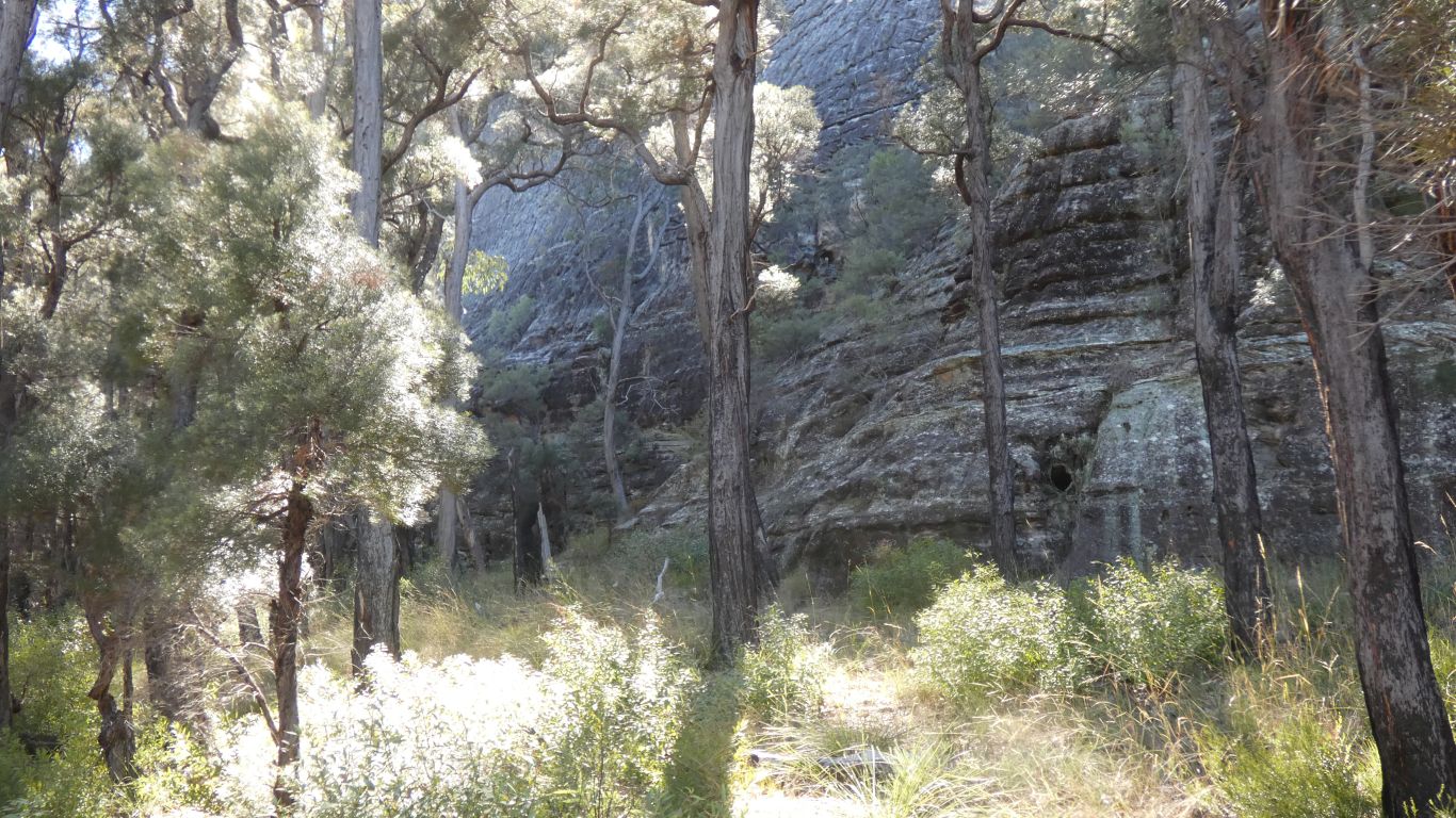
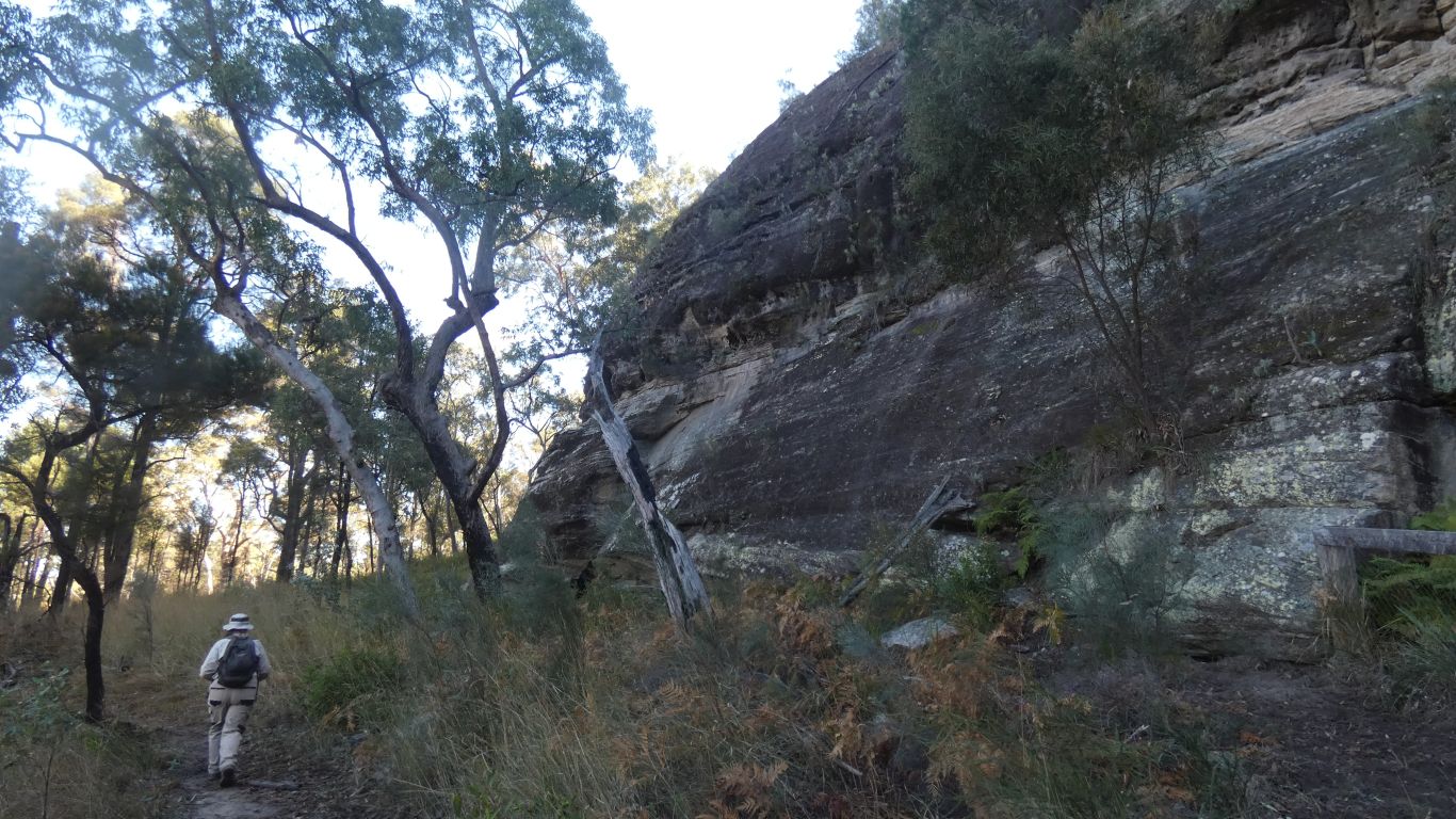
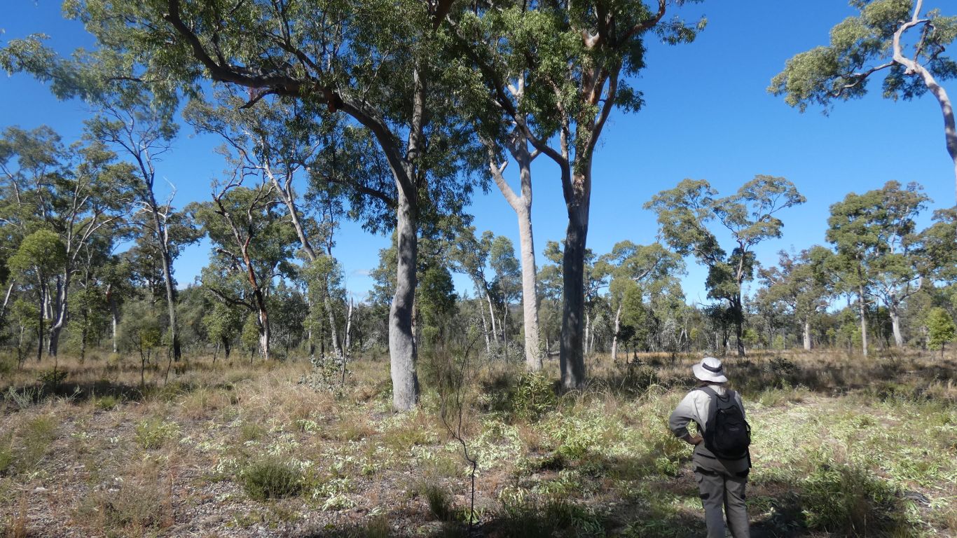
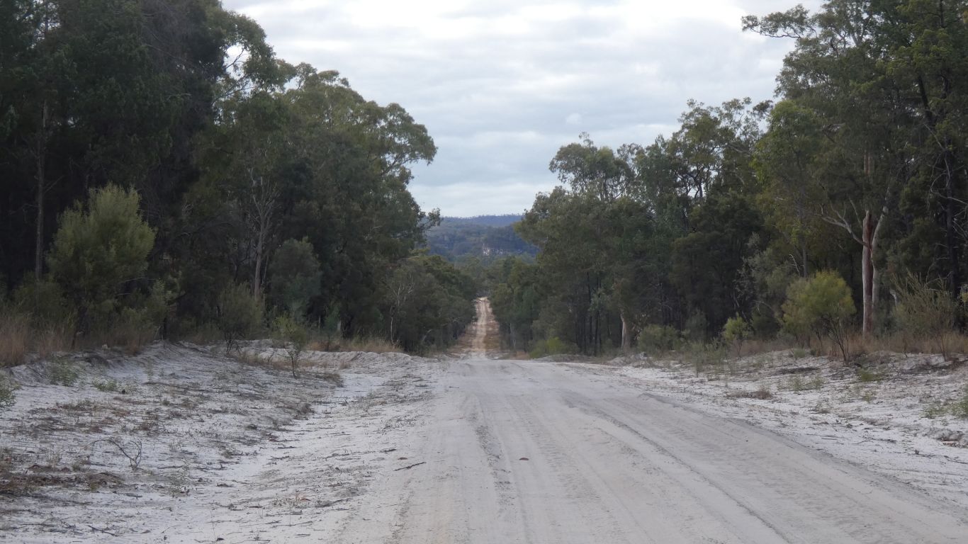
Very open forest, and a sandy track makes easy walking.
Without any idea what we are looking at, apart from its all different to recent experiences.
What a difference a few meters of altitude, soils that seem to be sand, and perhaps less shelter, or rain, from the west.
We have no memory for shapes, suspect there is a difference, and looking at the pics know they are similar but different.
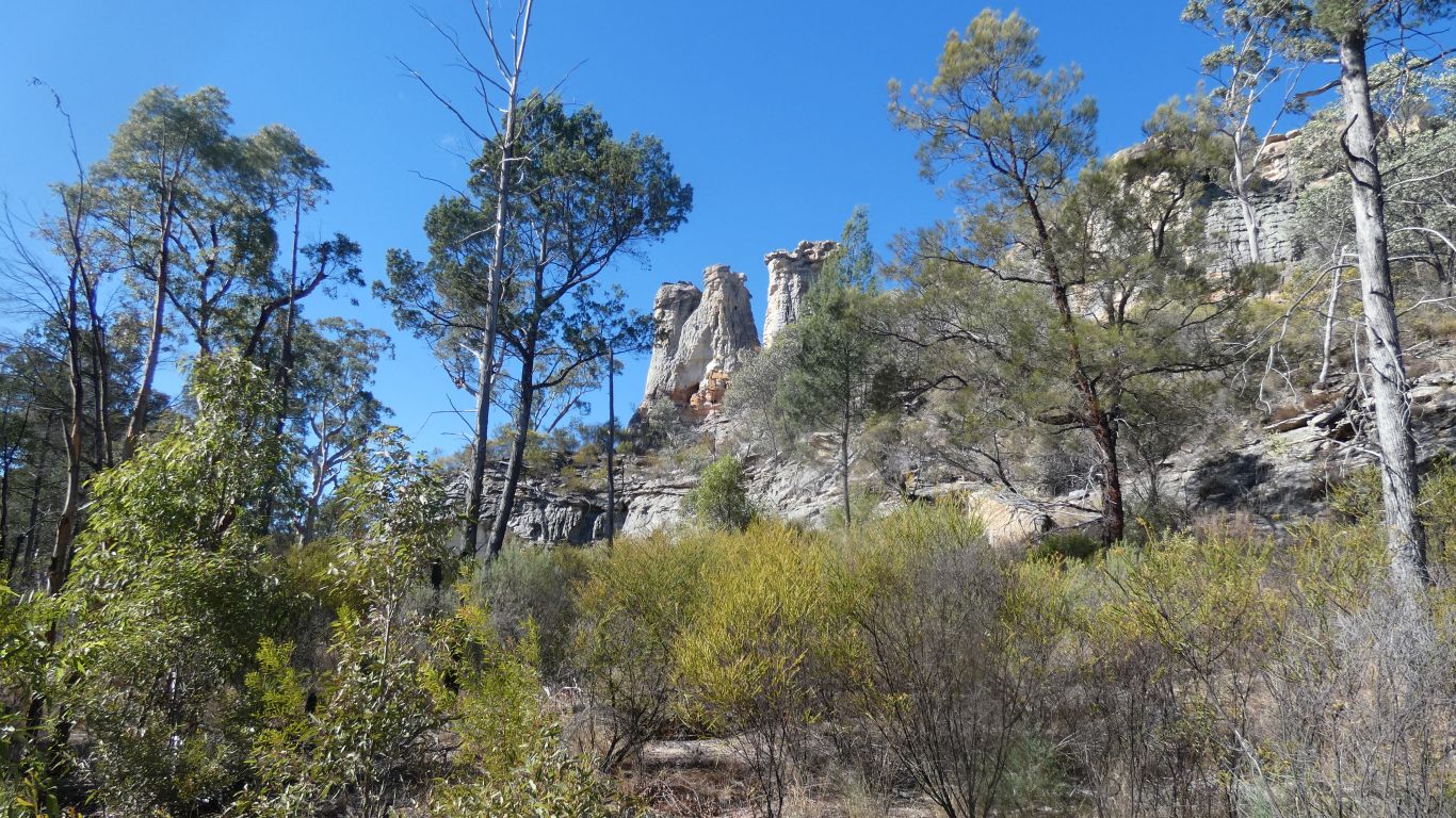
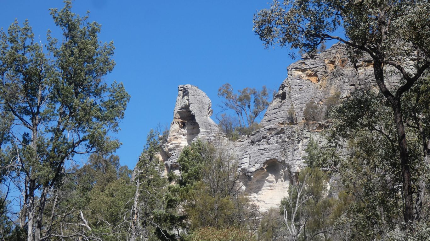
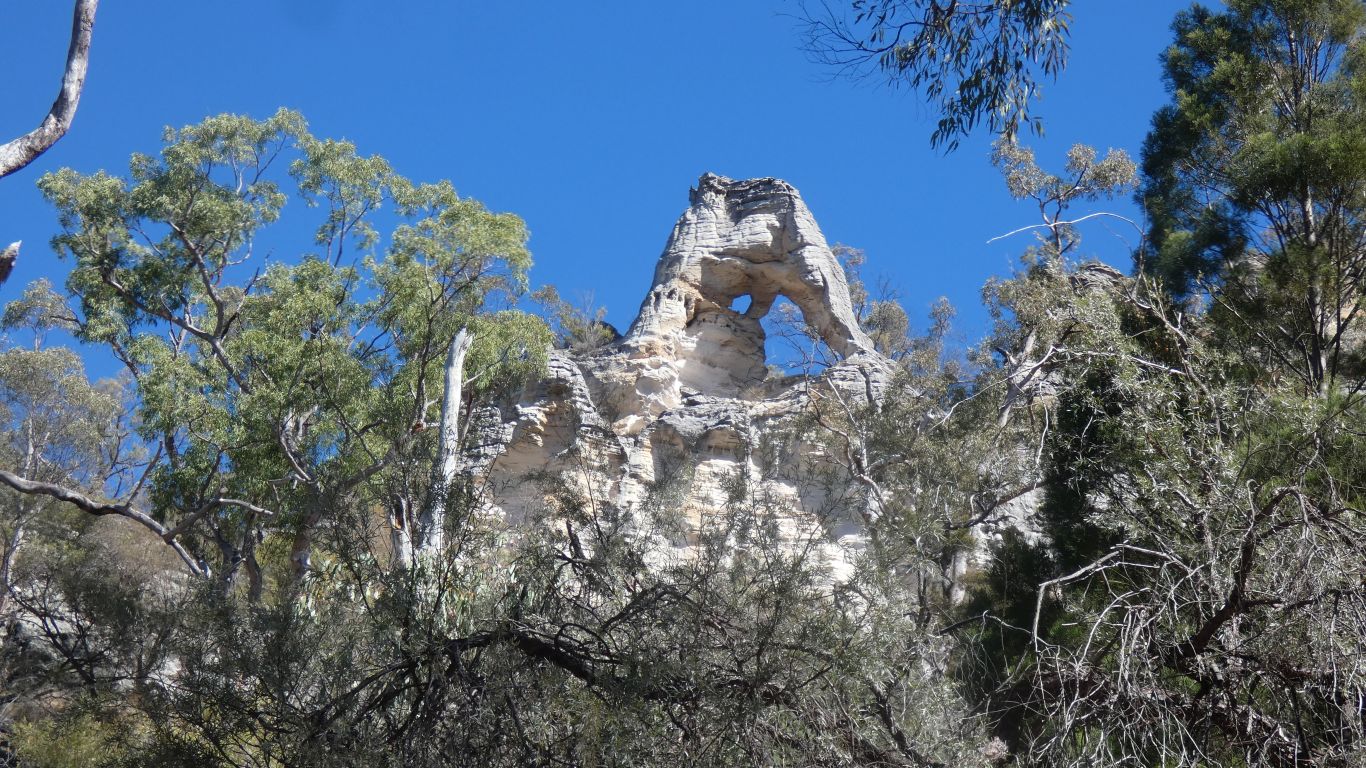
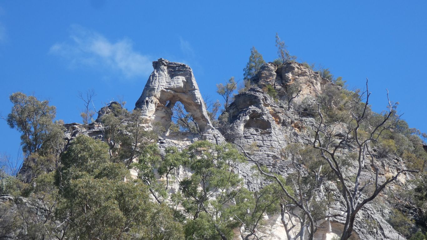
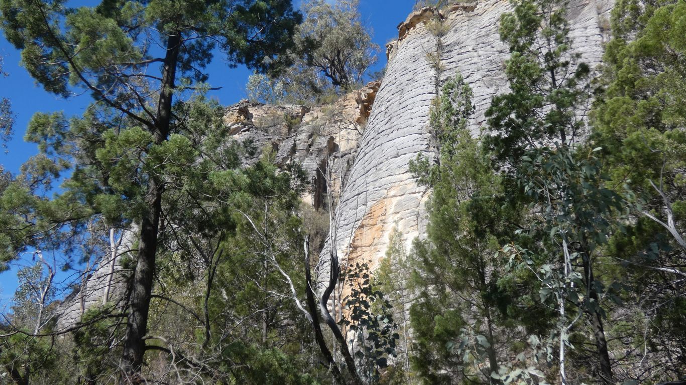
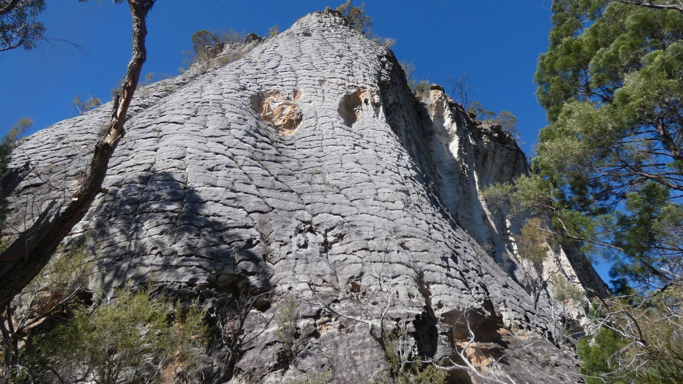
After a few weeks of precipice sandstone we are used to the patterns of erosion.
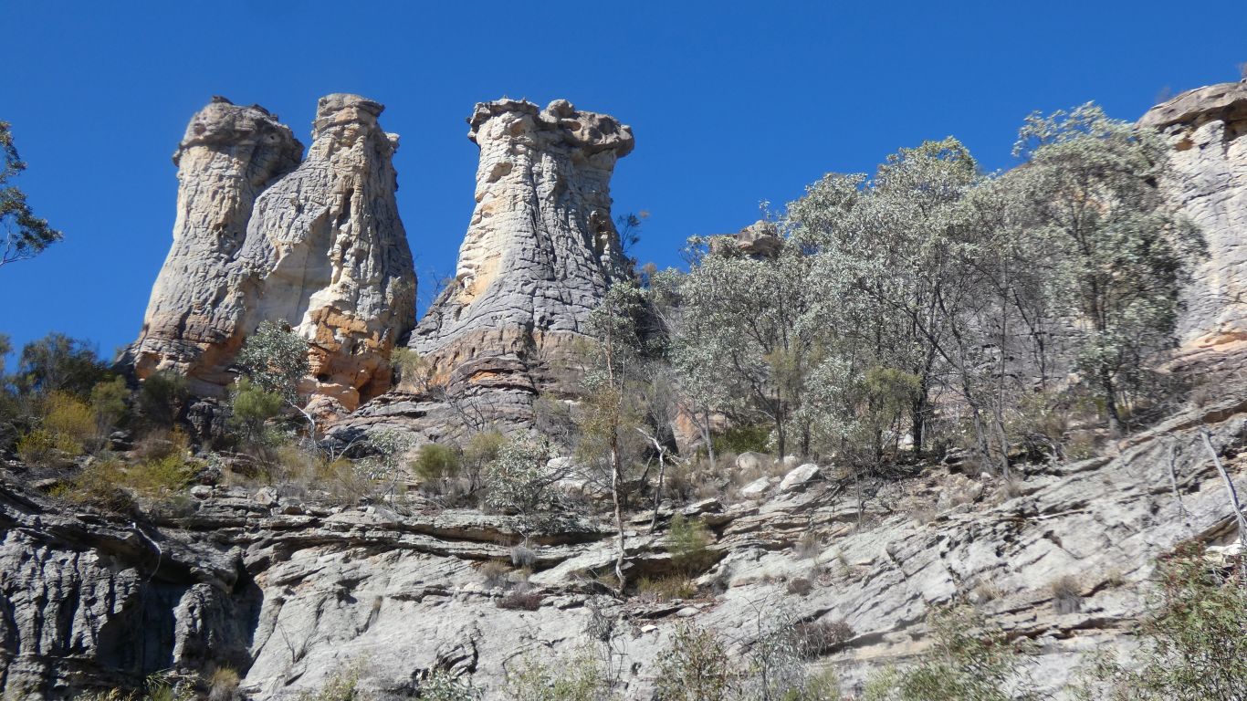
The chimneys have a strange (to us) surface.
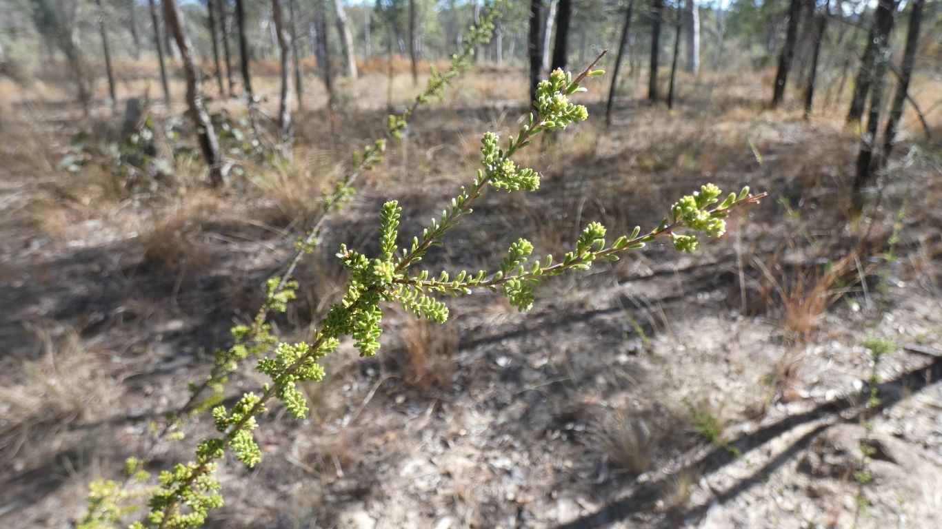
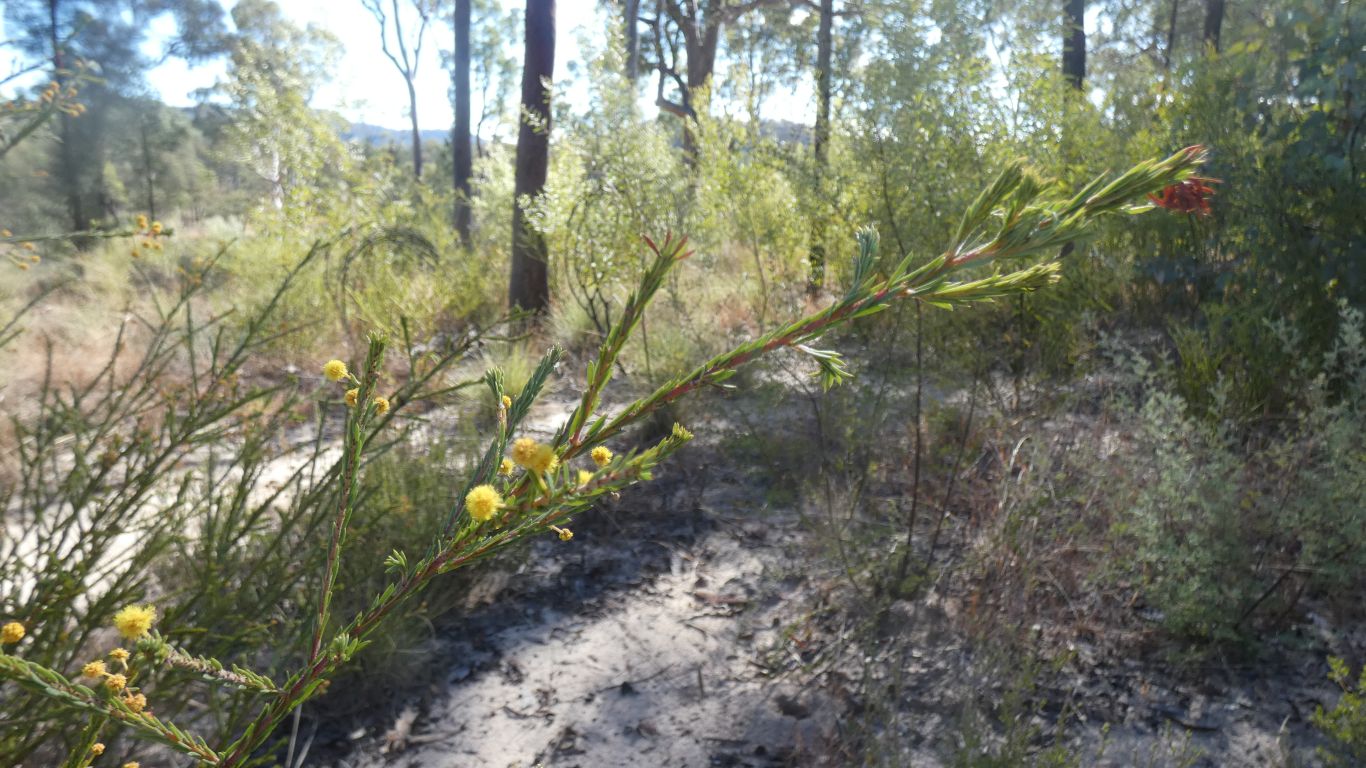
The soil may be poor, but plants manage to grow and thrive.
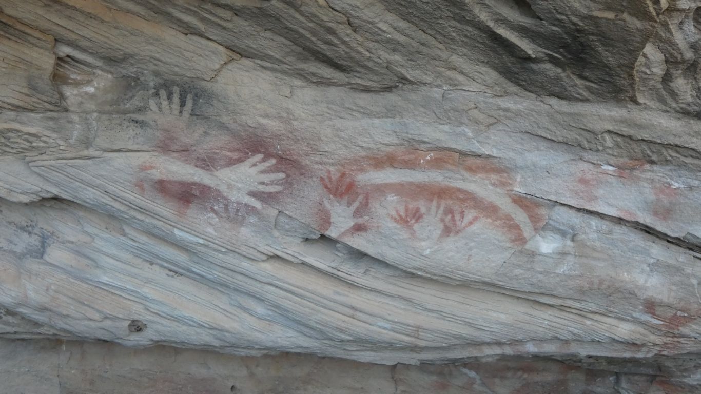
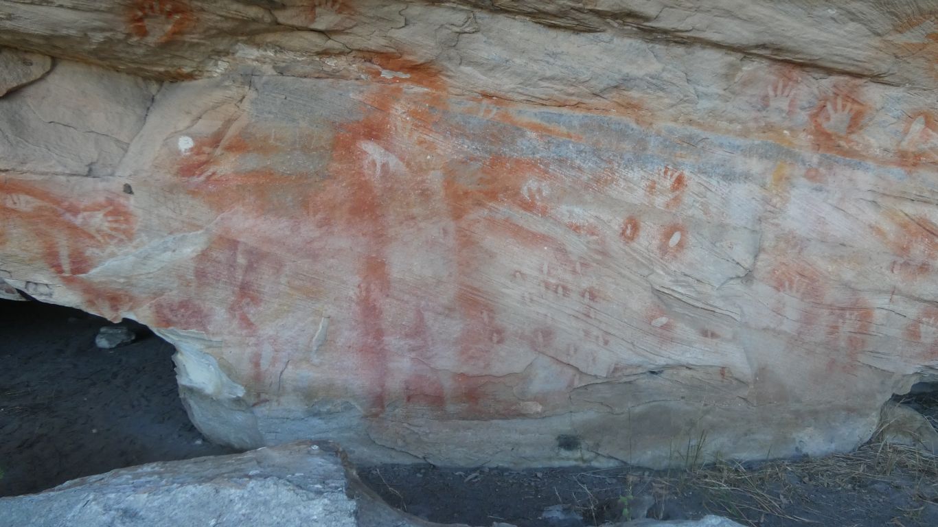
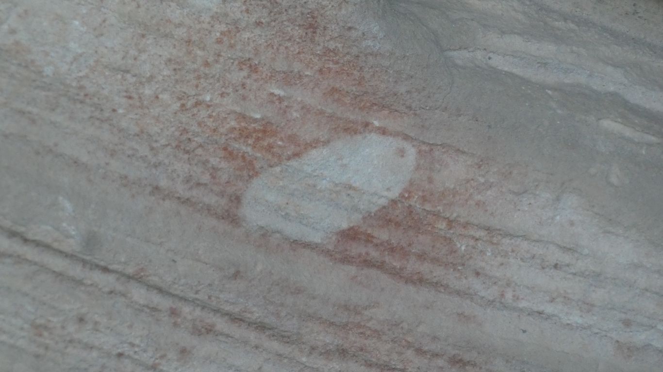
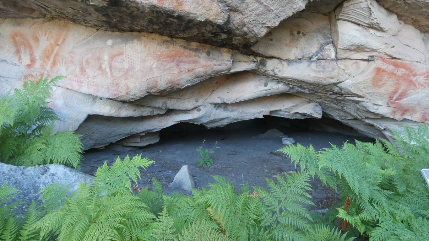
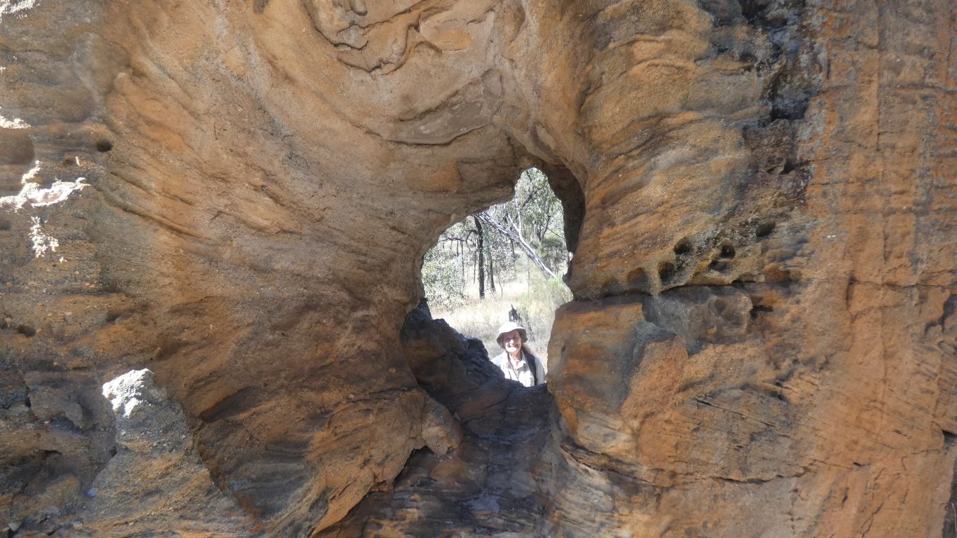
This time at "The Tombs".
Bodies wrapped in bark and skins. Placed in small rock holes.
Long stolen, before the 1900's.
I wonder if they have rotted somewhere, or have been preserved by the descendants of whoever took them.
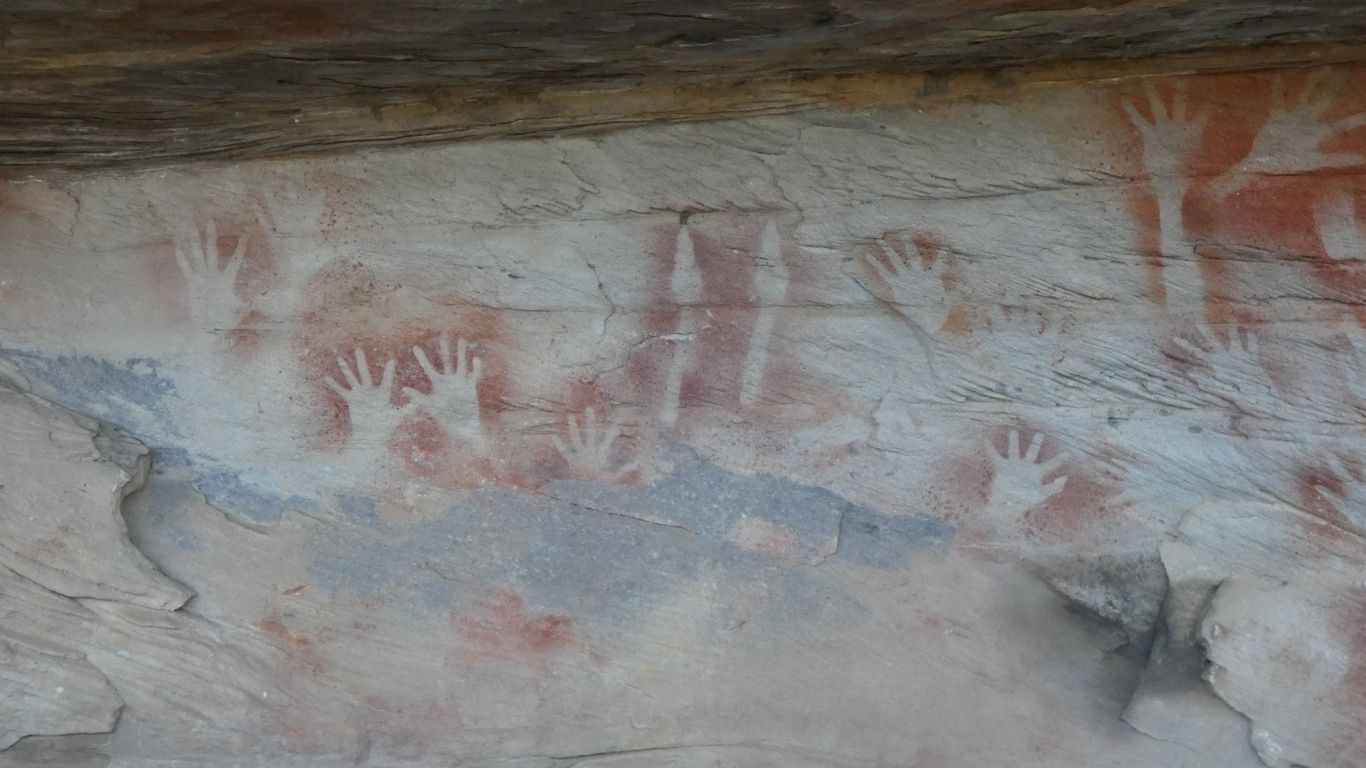
Though in the last pic a couple of hands drawn.
Kangaroo footprints in the centre. But mostly hands.
A che-ka-ra. A shell pendant.
I was intrigued at the hole for string.
And that pendants were traded from Cape York. 1300km away.
The different skin. And no scree slope.
I saw what looked like a full circle, with a couple of entry and exit tracks, while looking at satellite views. But didn't write down the coordinates. Difficult now without internet.
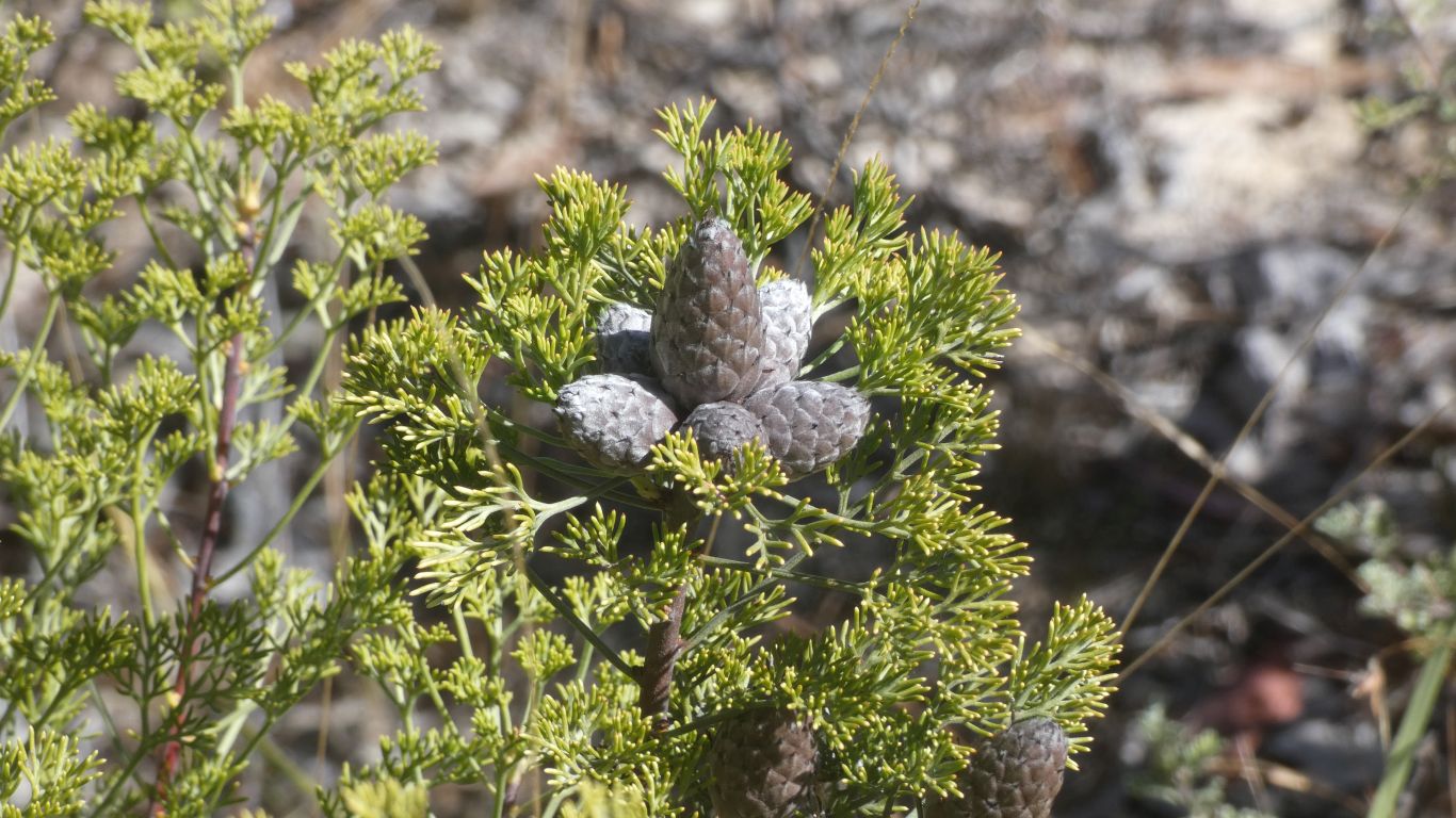
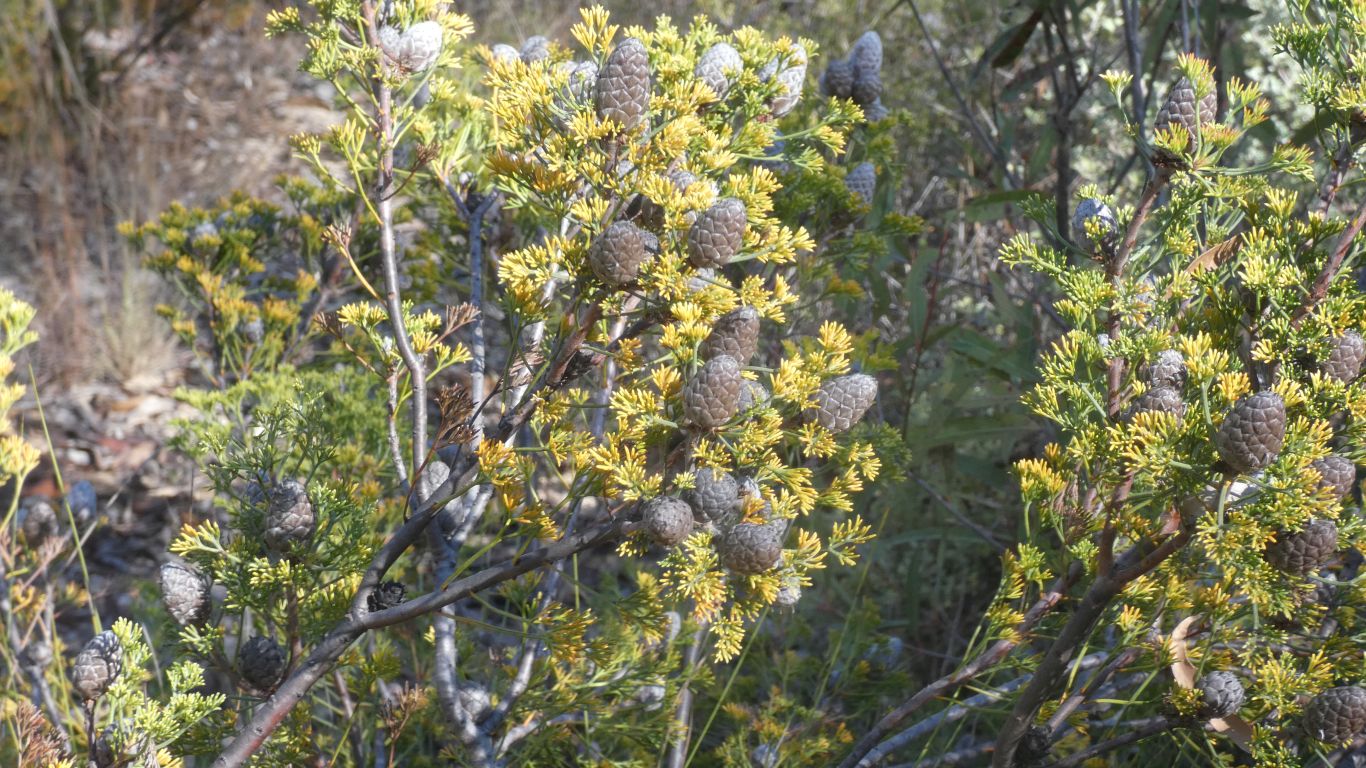
But suspect not. Just that the cones are whitish.
We are used to a flock of corellas at home breaking twigs and leaves off trees.
We aren't used to seeing a carpet of leaves, from a tree with leaves greener than others nearby.
We haven't seen any large flocks of parrots, yet.
The "salmon pinkness" of some of the tree trunks are "apple" trees - not the ones that apples grow on.
The explanation is iron in the porous rock is leached out to the surface and is deposited, with silica, as the water evaporates. Forming a hard skin. Algae grow and colour it.
In places the skin is eroded, exposing the underlying sandstone to more erosion.
The "looking glass" has a hole through it. As wind and rain erode.
Most of the precipice sandstone we've seen has been white. But we've also seen red sands, before the iron is washed out in the river beds.
A bit like chasing sand colours in the Simpson Desert.
A small rock next to the track.
And the forest.
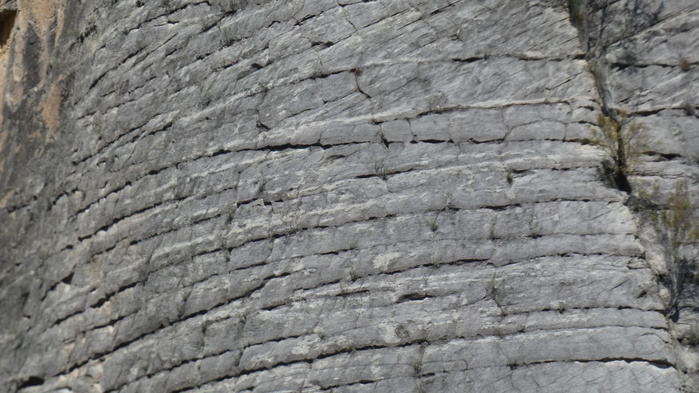
Now where have we seen a surface similar to this?
A rhetorical question. Here the strata seem to have similar compositions. In the Bungles the strata have different compositions giving rise to the familiar horizontal striping of the domes.
Time to mention karst?

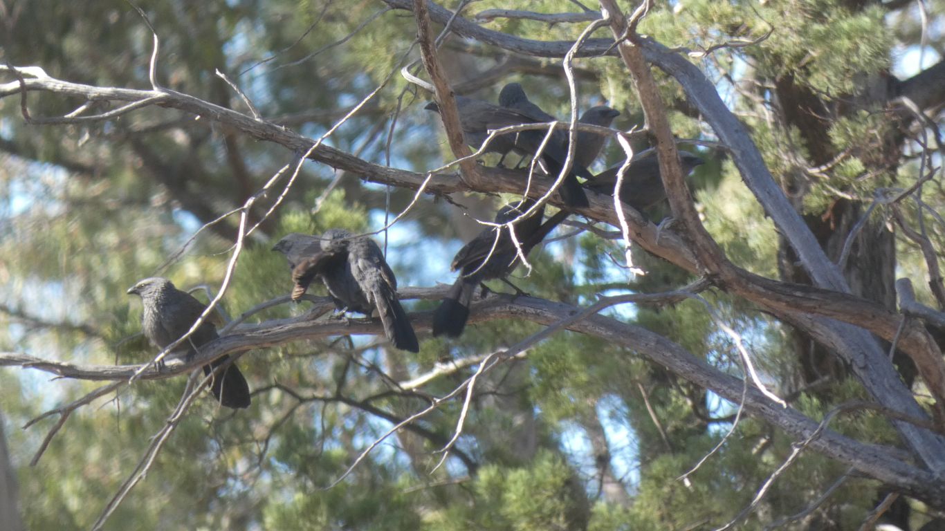
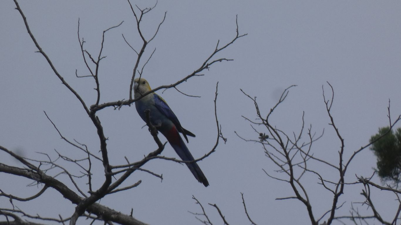
At Darganella Rock Hole Campsite. I think a masked woodswallow.
Very active, it didn't sit still for the 5 minutes or so I watched it.
Then it flew away .....
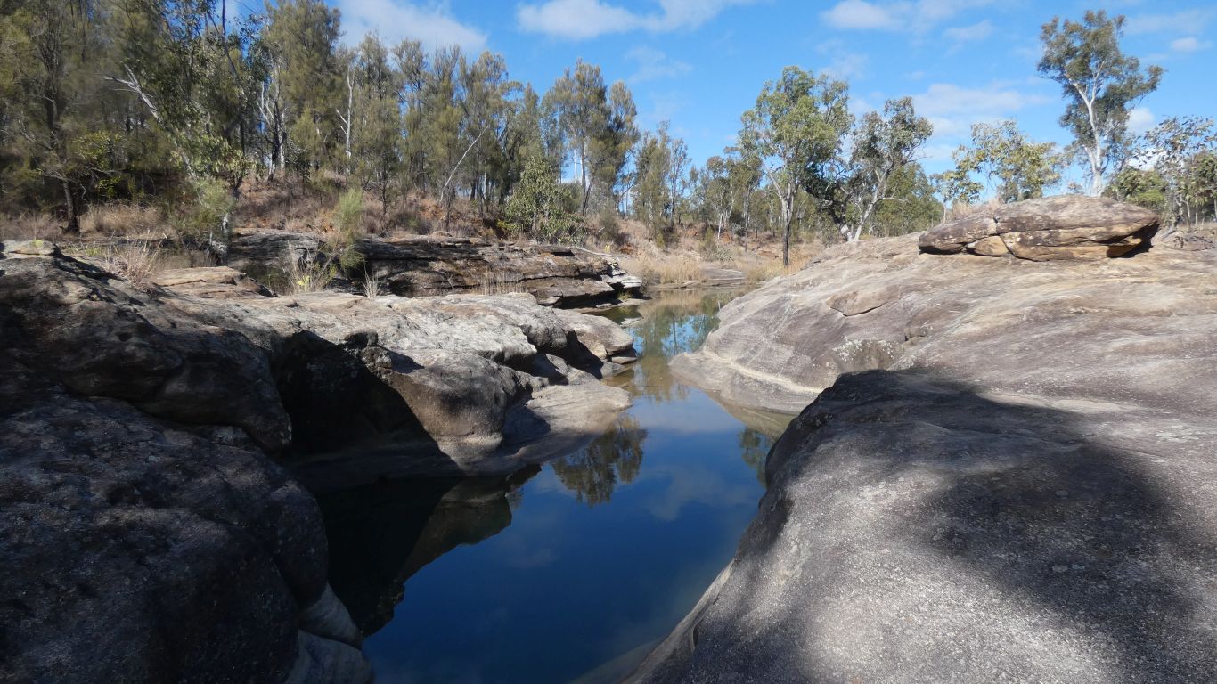
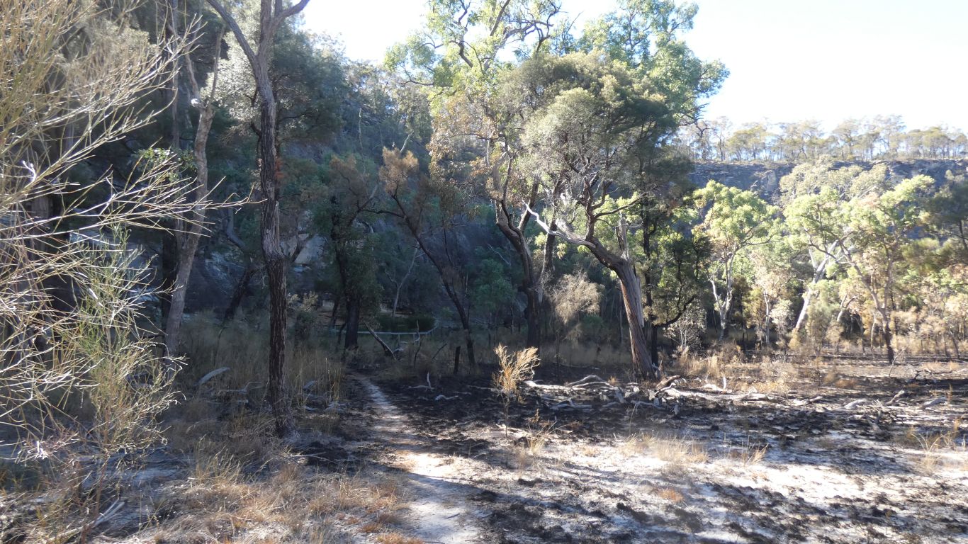
Part of the west branch of the Maranoa River.
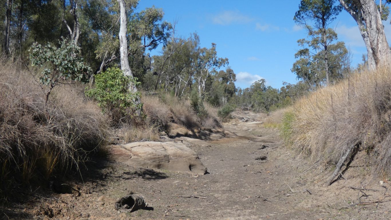
Looks like there hasn't been much of a flow for quite a while.
We follow the river for a couple of km, then find a straight line back to camp.
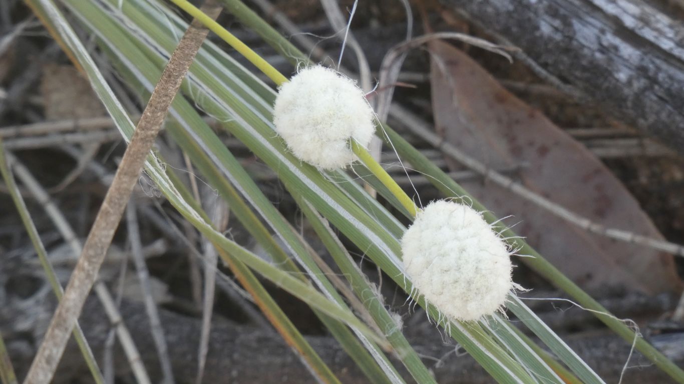
Now we have to wonder what strange beast created these white hairy things, which surround grass stems and are stuck tight.
Without mobile phone and internet it will be a while before we can find out.
Though basically open.
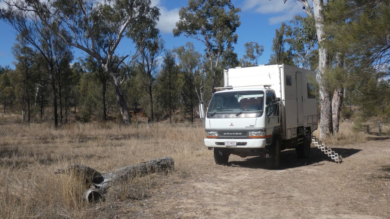
Or at least the truck was ...
..... Dargonelly campsite.
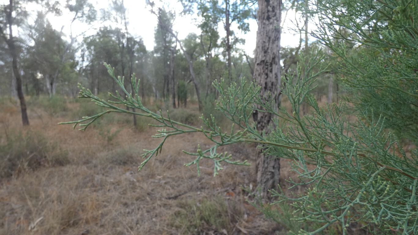
The tips look a bit whitish.
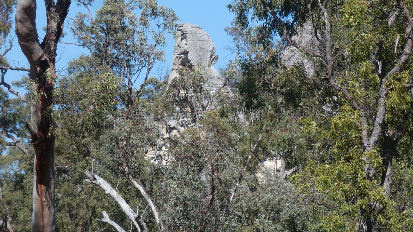
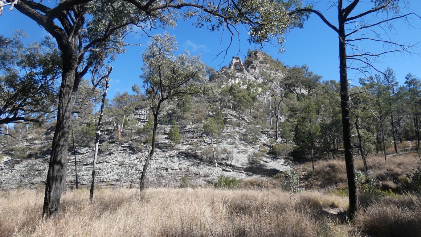
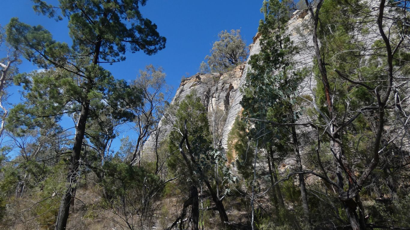
A hint of escarpment in the distance.
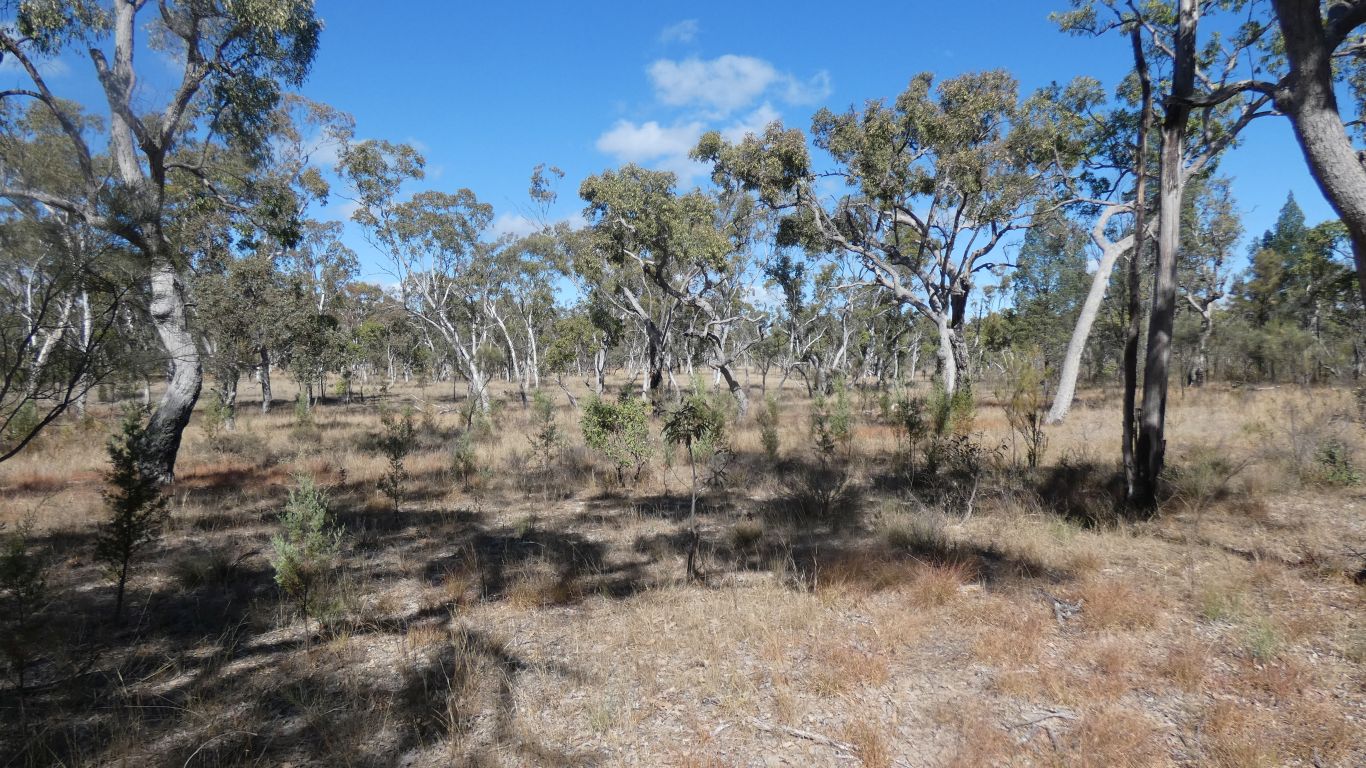
Our campsite is in the middle of a wide valley. The nearest escarpment 4-5km away.
Tomorrow we will move east, to westside campsite! We'll also visit the park info site.
I wonder what the fight was about, given the vast area available for them.