Not as flat as we thought?
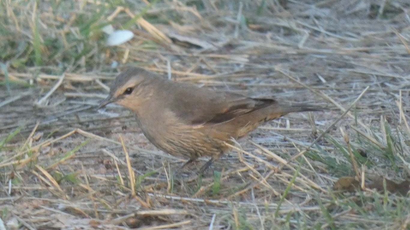
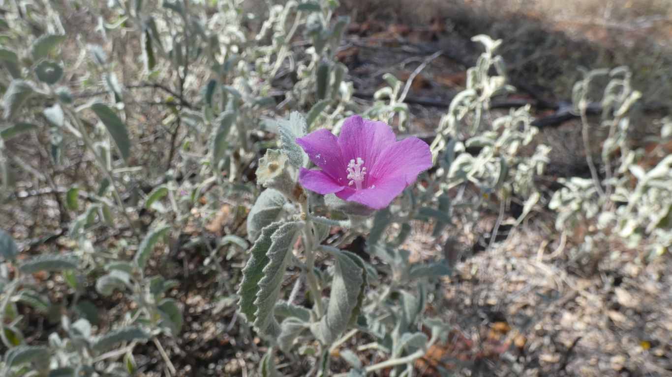
The height and colour of the Mulga variable.
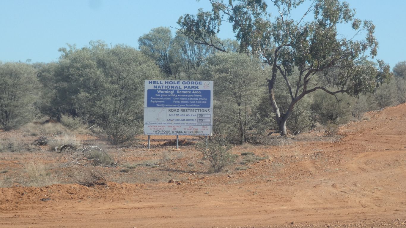
The sign for Hell Hole Gorge reminds us of fun we had there a couple of years ago.
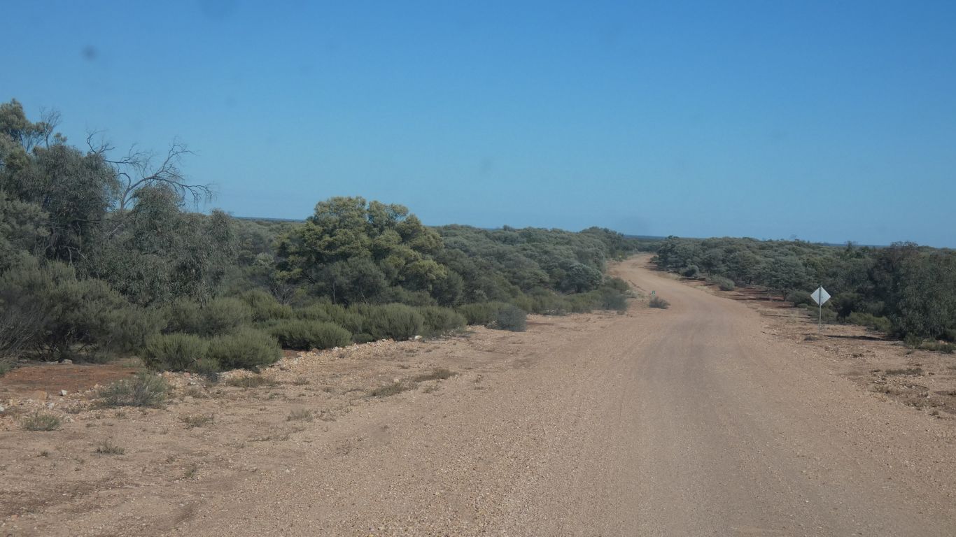
A long way to Idalia, which is north west, in the Gowan Range.
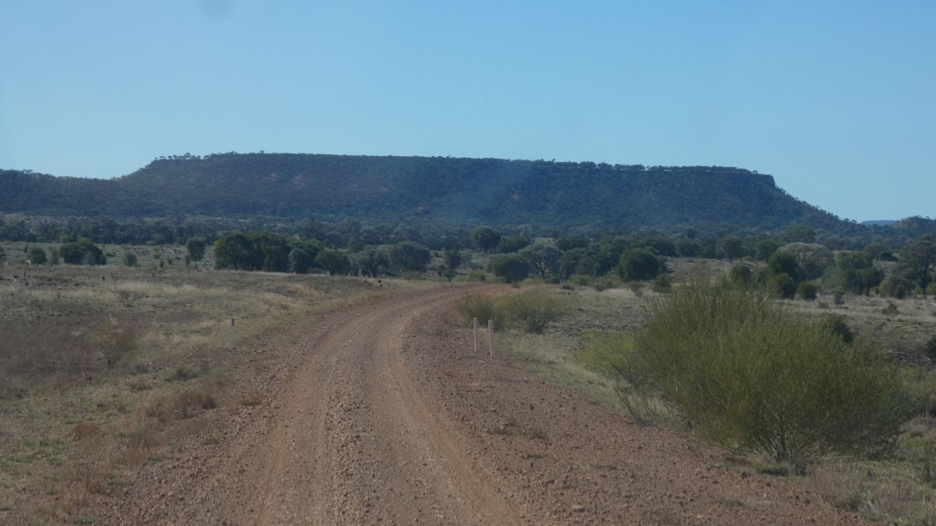
It occurs to me how difficult it is to work out direction from a picture with no clouds and few shadows.
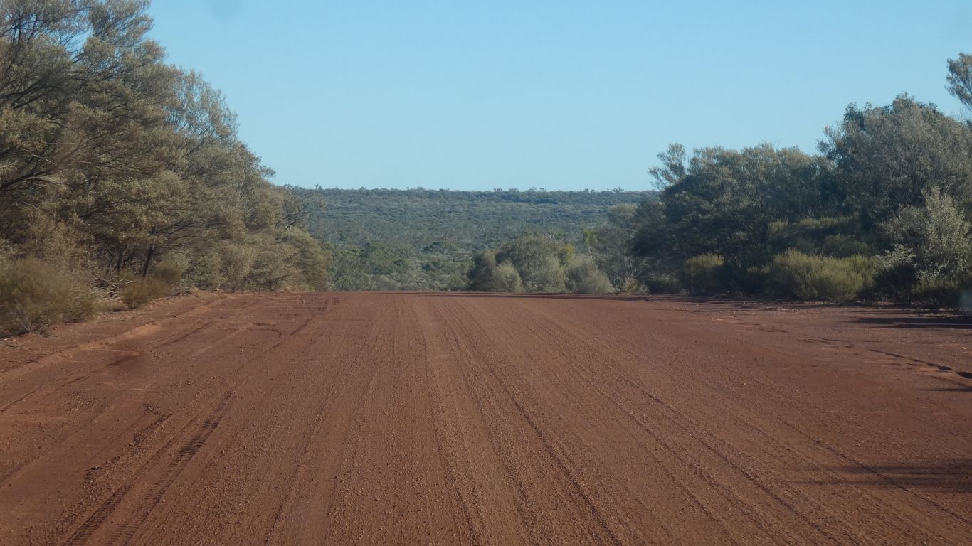
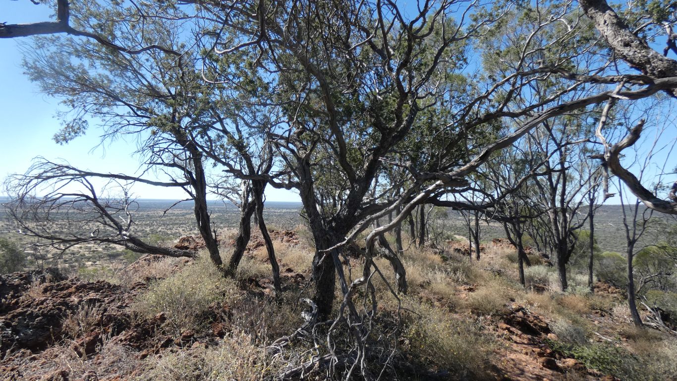
For the interminable, never ending, usually irresolvable, discussion about whether trees have been cleared or were never there.
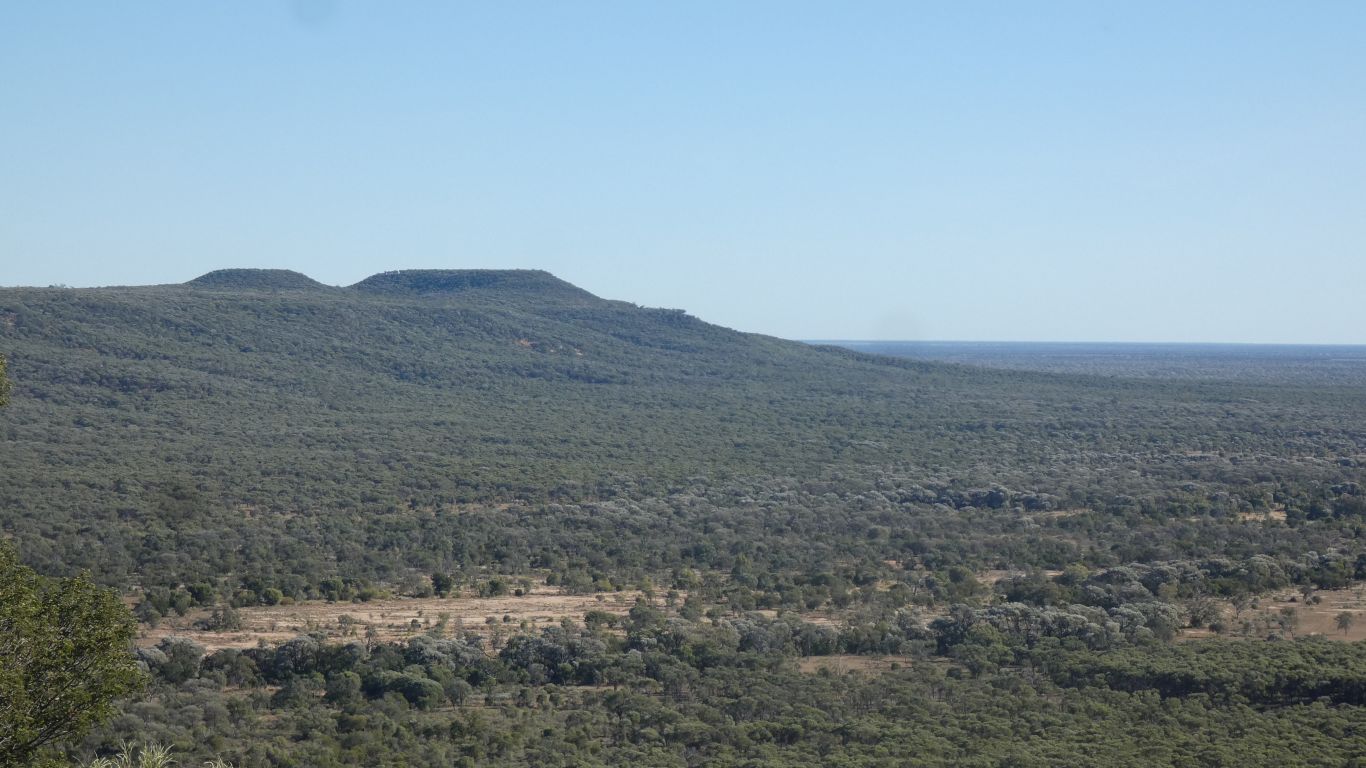
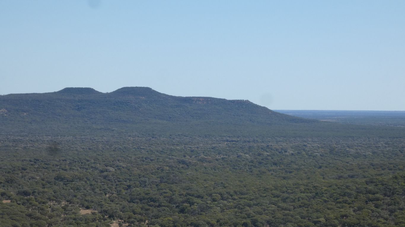
Idalia slowly becoming closer.
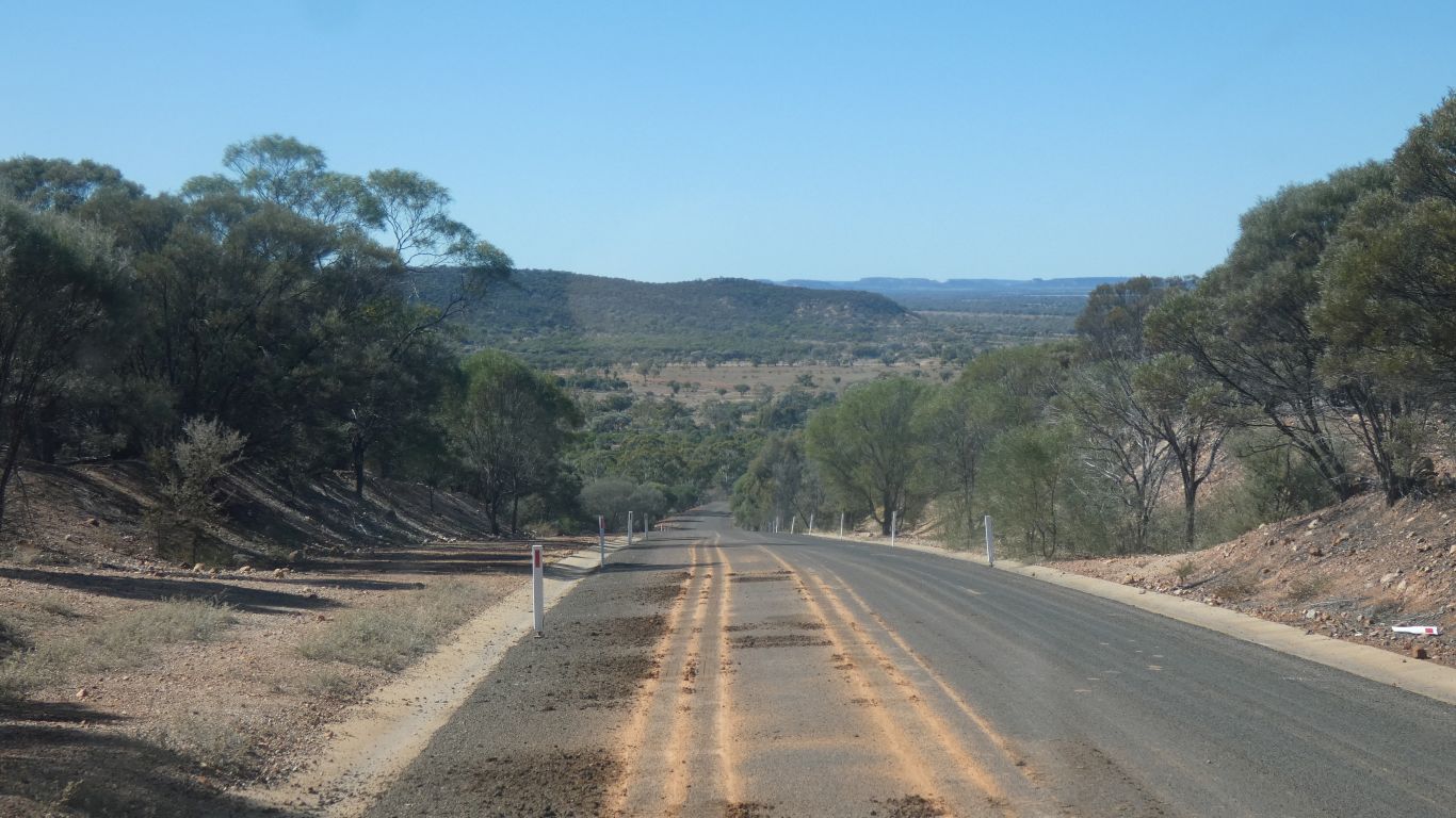
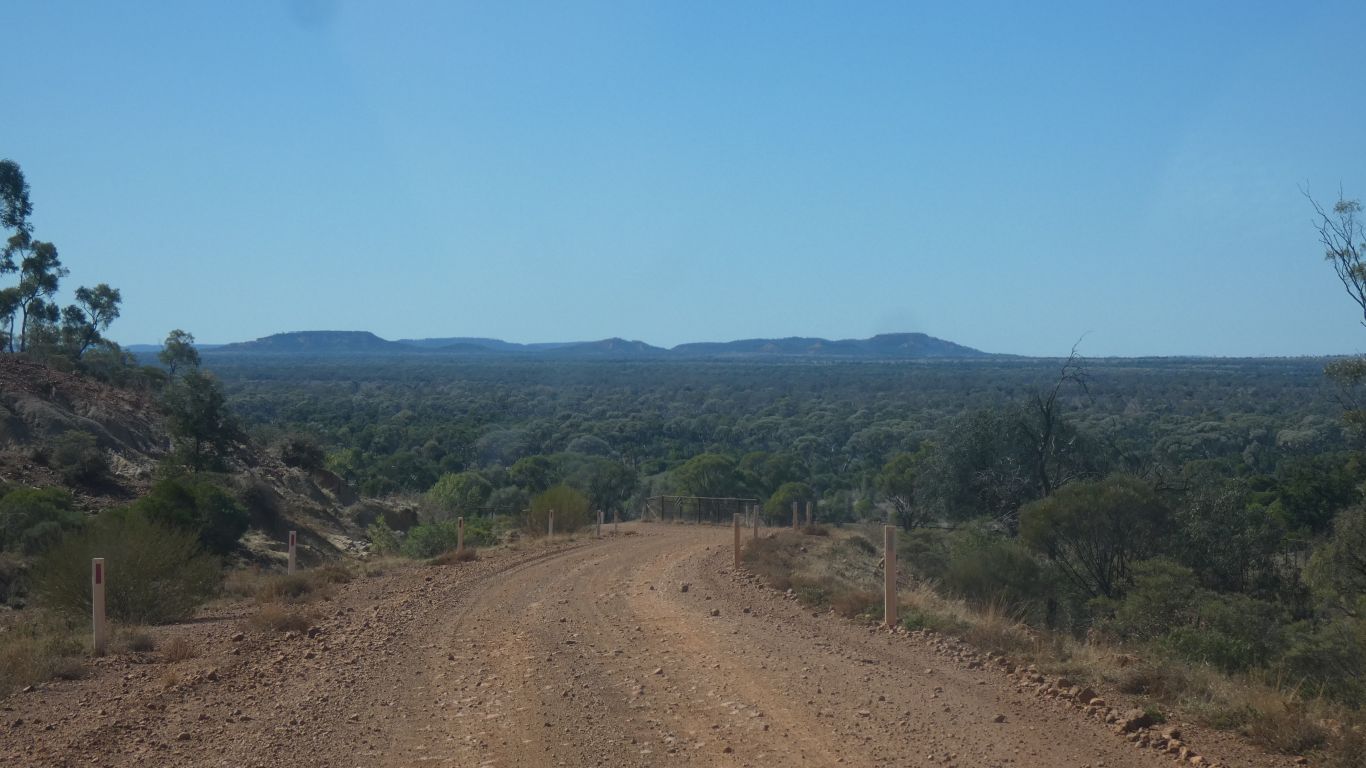
Park entry is through a gap in the hills.
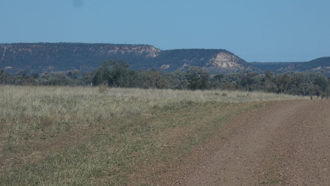
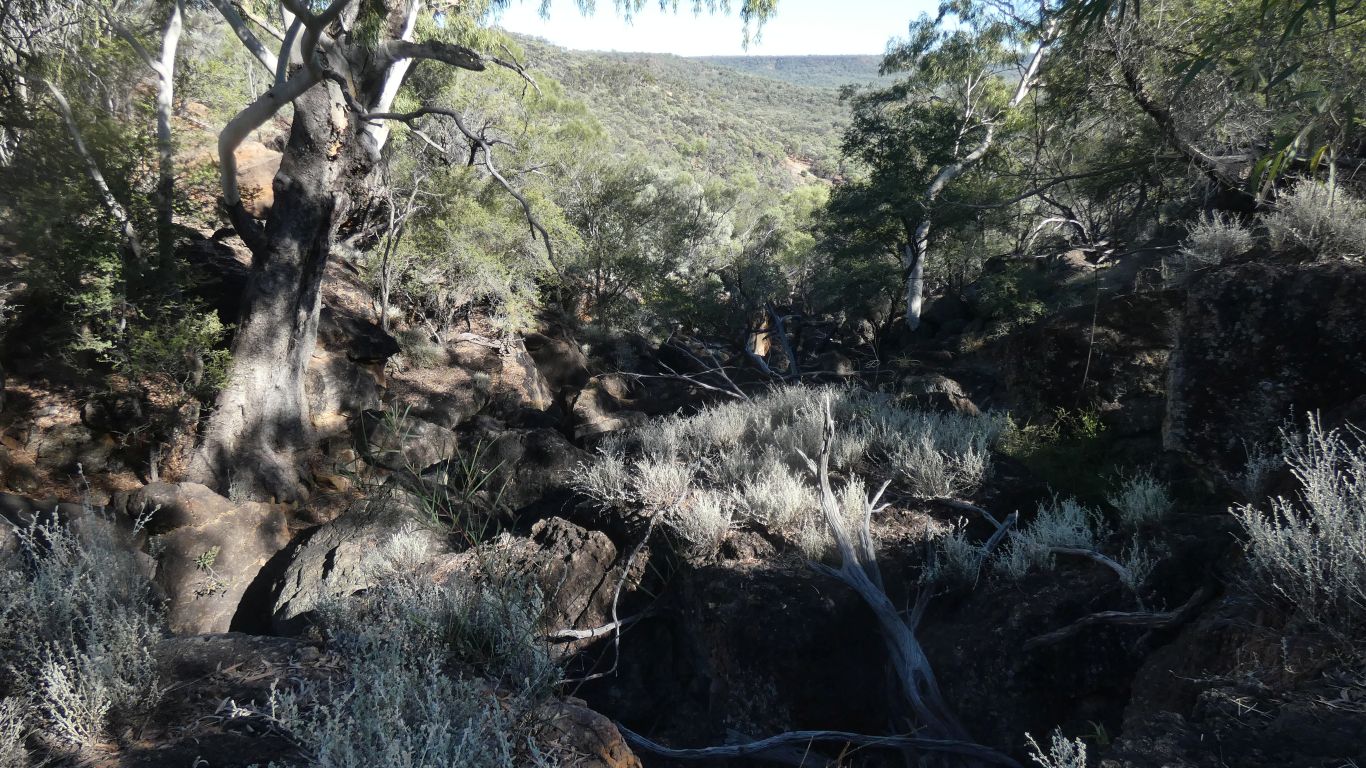
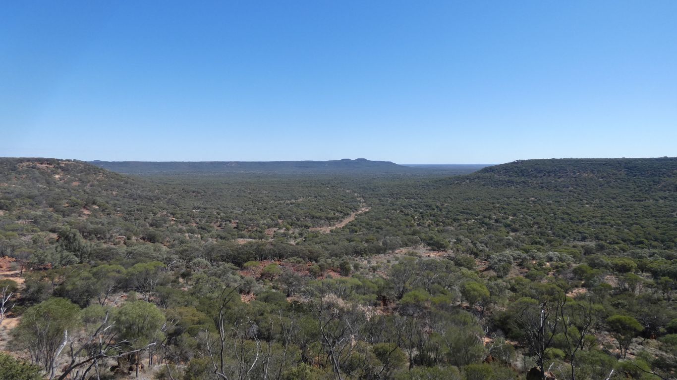
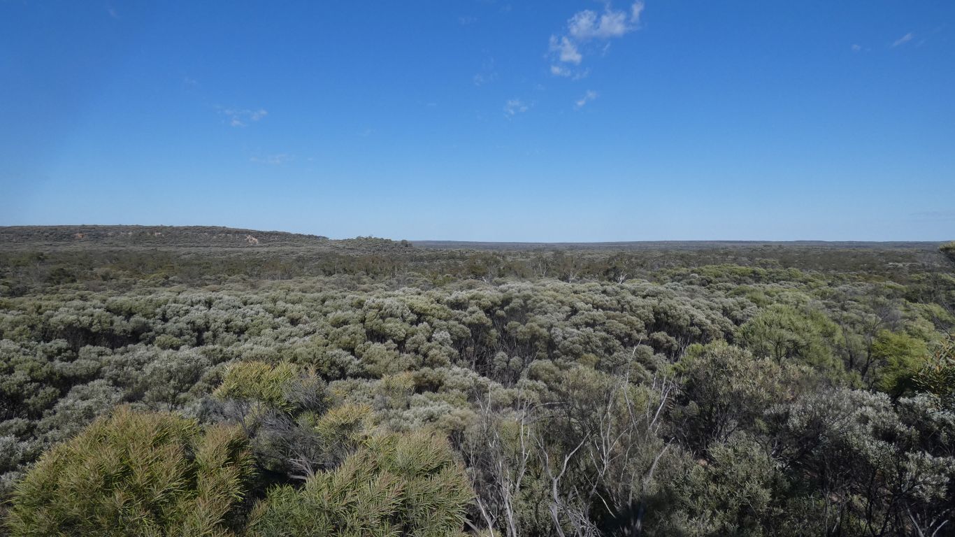
It takes us a while to realise that we are not in a valley surrounded by hills, we are on a plateau.
In some parts of Aus it would be called a dam. Other parts a tank. This is the latter. An open top hole in the ground, the sides built up from the excavated ground.
There's a tall mesh fence around it, with a human width gate, secured with chain and hook.
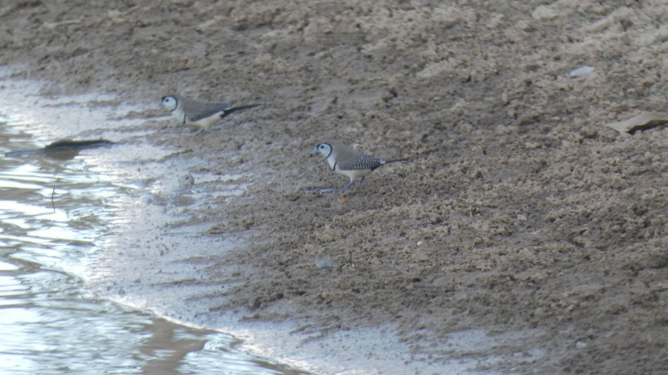
Fences are not an obstacle for birds. So we enter, to sit and watch as they arrive for their evening drink.
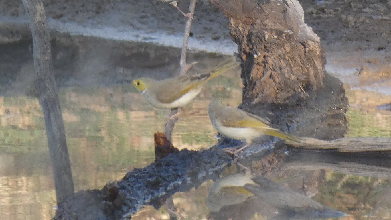
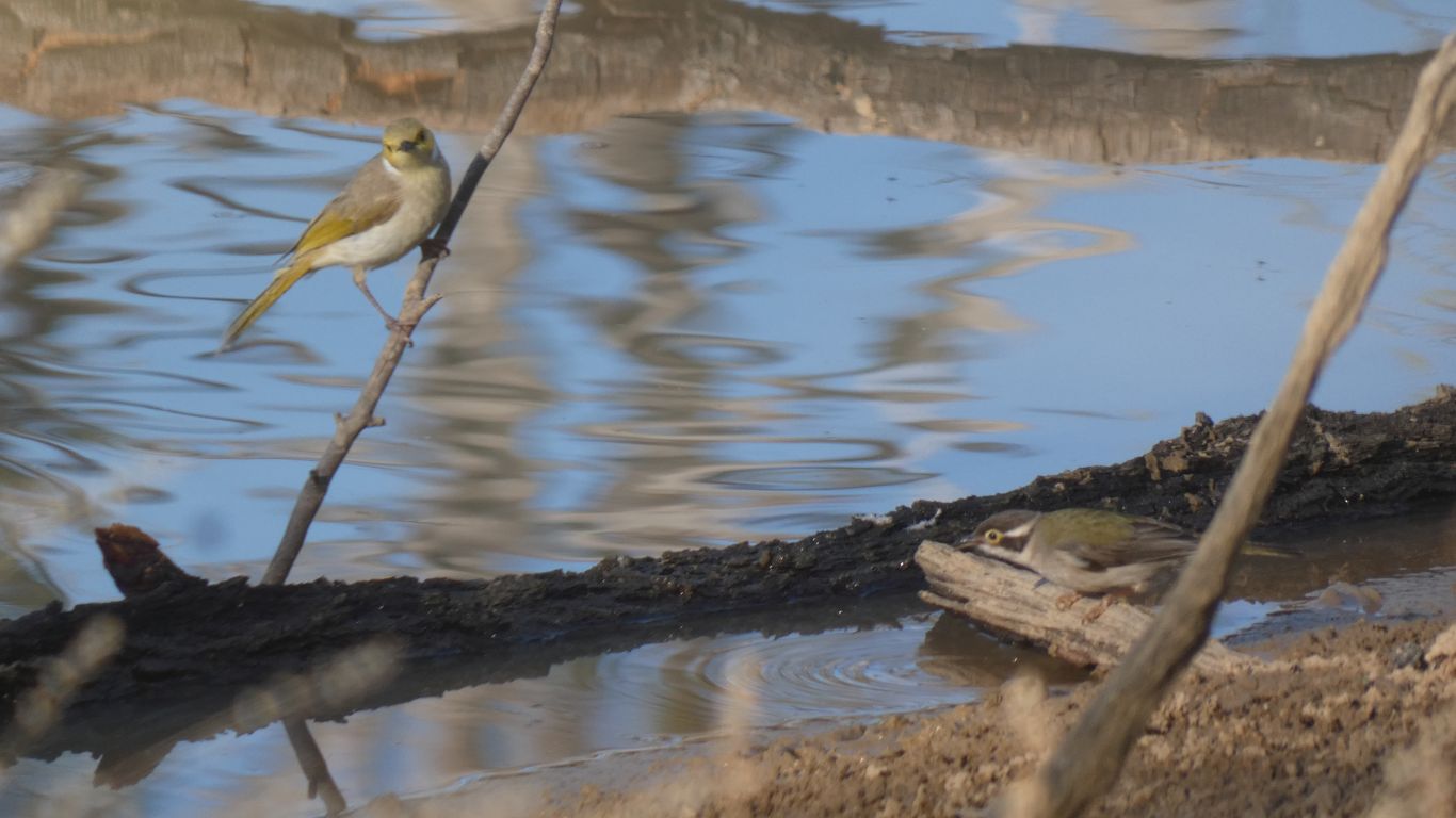
White plumed honey eaters.
Mixed with apostle birds, but later separate.
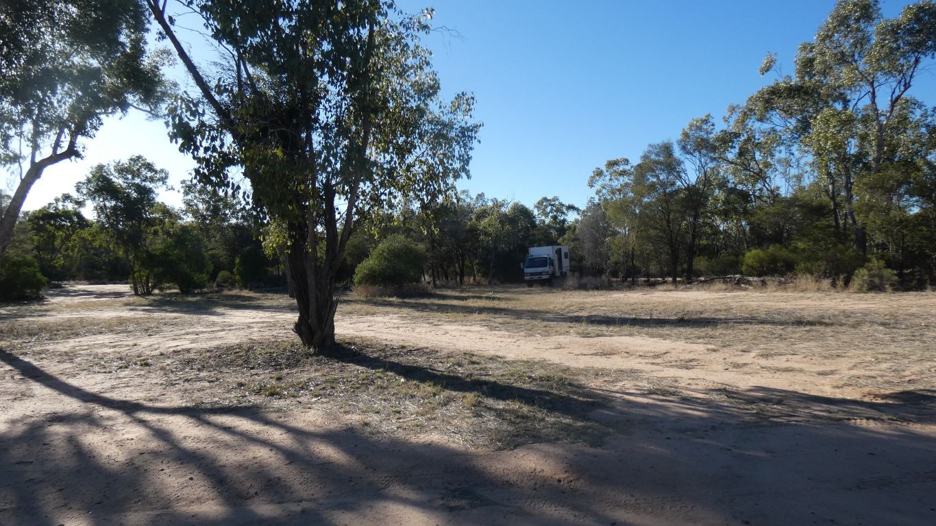
There is one other couple camped.
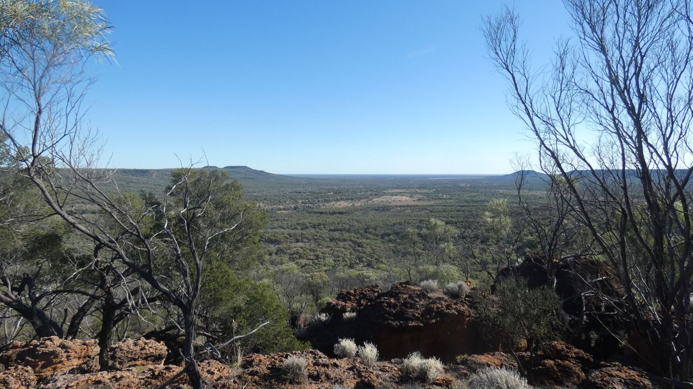
To Emmet Pocket Lookout. Looking north west.
There are several pockets like this eroded into the northern edge of the plateau.
If it was raining this would be looking down the waterfall.
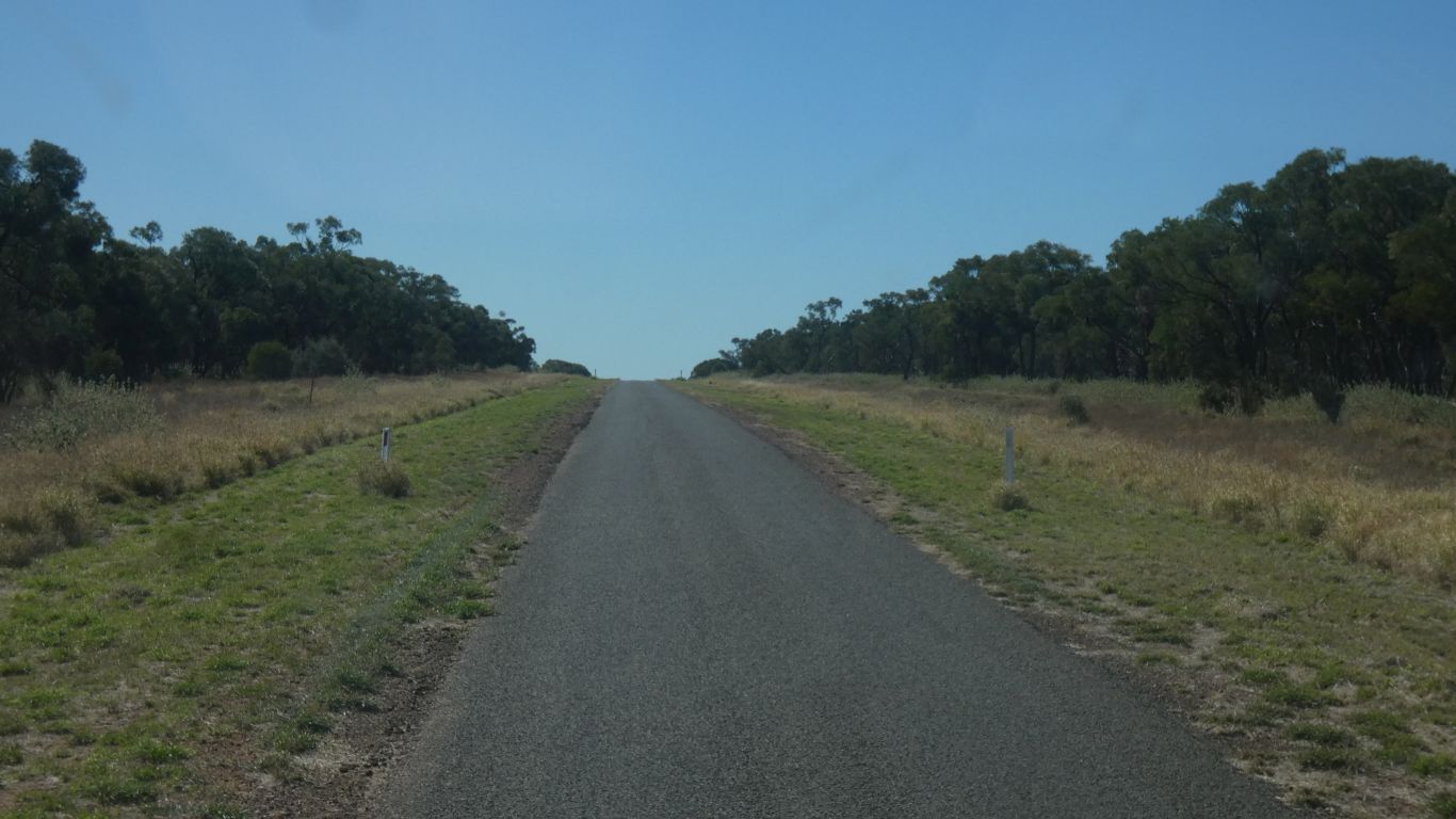
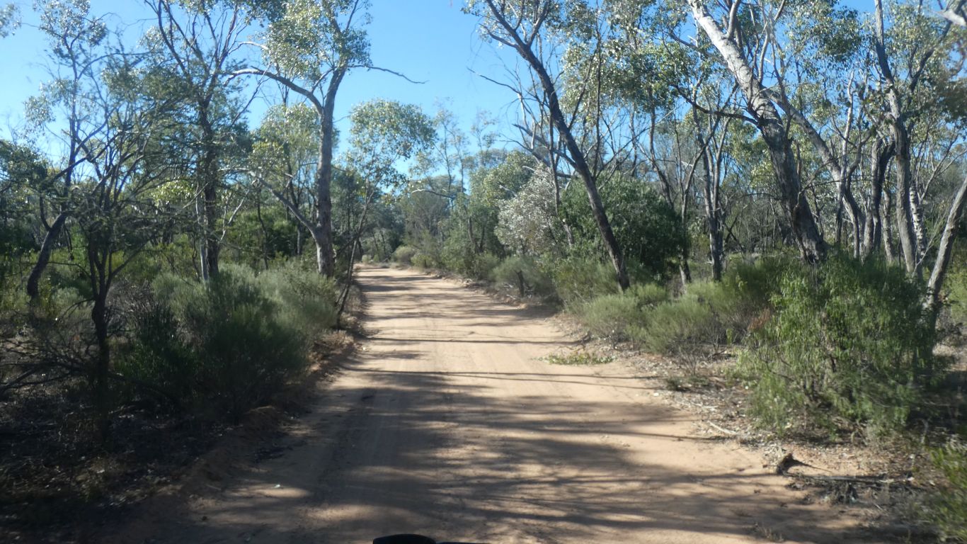
The track is level, and firm sand, for most of the way. Occasional stony bits up or down. Perhaps just us, neither difficult nor steep.
Each one we looked at an ant strolled out.
The patterns in this bush caught my eye.
Another edge of the escarpment overlooking a pocket. This time looking northerly.
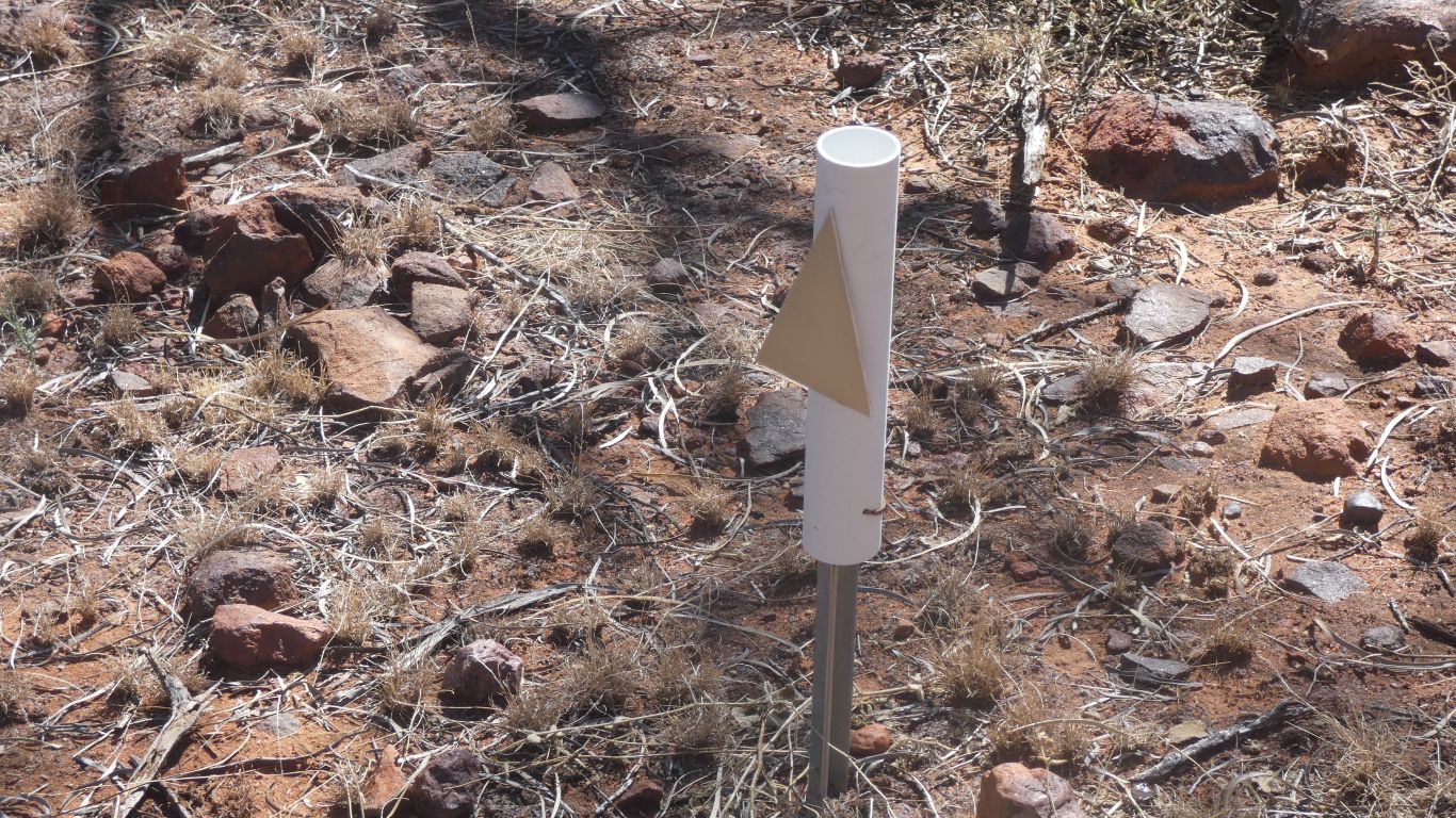
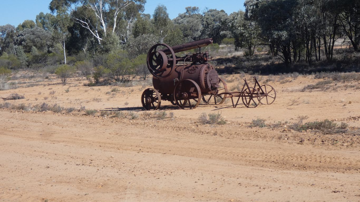
Four parts. For some the twisted wire had rusted, and the plastic pipe slid down the spike.
The plastic pipe looked about the right size to join two bits of flexible pipe that is our shower drain.
I resisted the temptation .....
At Emmet Pocket the markers were splashes of white paint on rocks. We wondered if the artificial intelligence applied to autonomous driving could distinguish between the paint and used loo paper. Fortunately humans easily can.
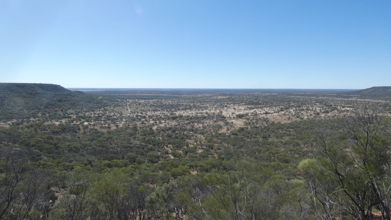
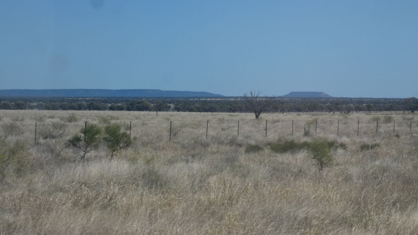
Hard to tell when looking over a plain, we think the trees are more sparse.
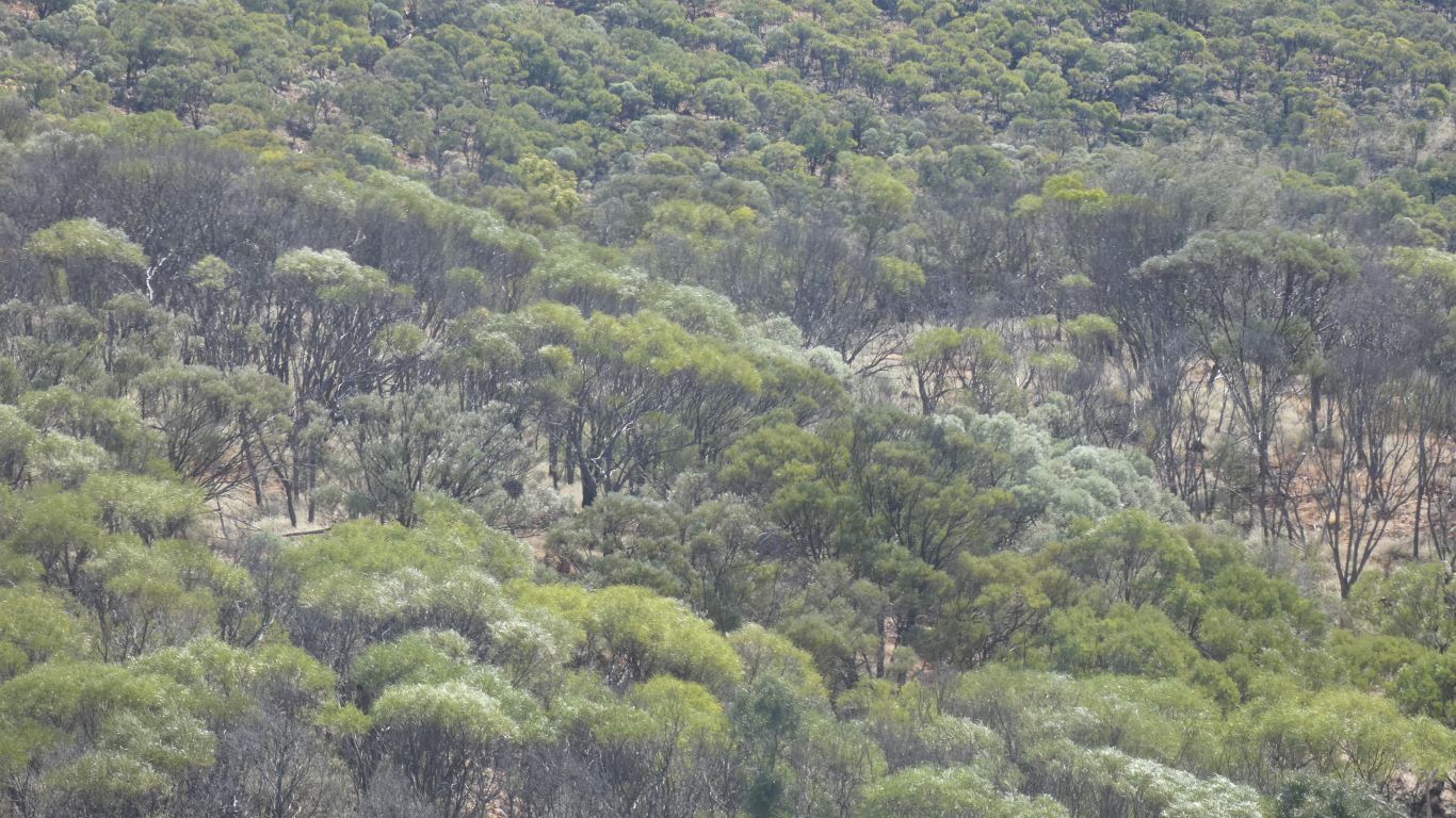
Seems to be "our thing" since we learned of the colour of brigalow.
At the tip of the ridge we feel a (relief from the unseasonallly temperature) breeze. The trees at the tip are more than usually wizened, with very small leaves.
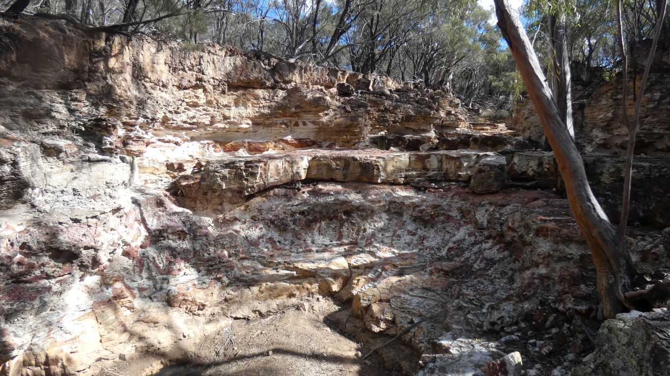
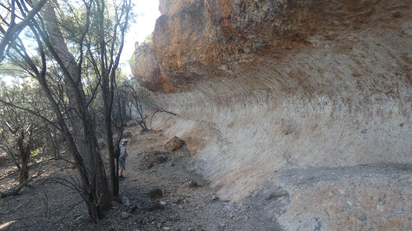
We aren't sure about "gorge". Perhaps it becomes steeper and deeper as the creek falls off the escarpment.
This bit is just beside the road.
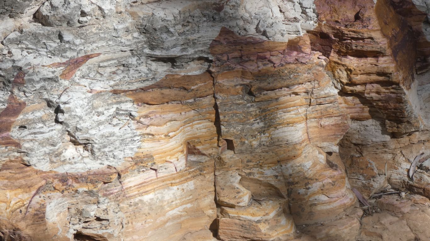
Its white, like pure silica, but is very fine grain, not the texture of sand.
Murphy's Rockhole is closed, to vehicles, bikes, and walking, due to the state of the road. The grader driver widened it, but left lots of roots. Open again in a week or two. Sad for us. It promised to be interesting as it seems animals drink there.
There are yellow-footed and nail-tailed rock wallabies in the park.
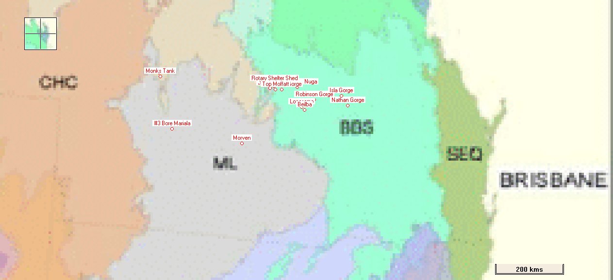
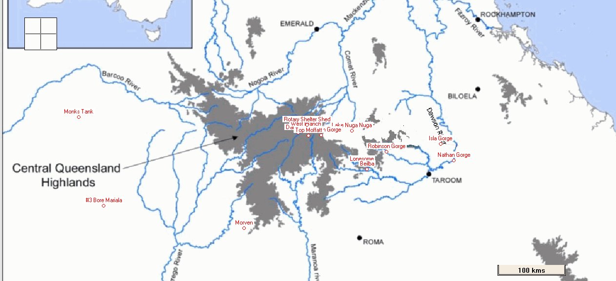
Its been useful to us on various trips. This trip I've calibrated the image to Oziexplorer (using coordinates of capital cities) so I can see gps coordinates, and map our travels across the regions.
Which helps our conversations about whether the trees have been cleared - probably not.
Since we aren't particularly observant it sometimes helps to know the vegetation will change, so we know to look more closely.

With of course no hope of resolution, particularly without internet.
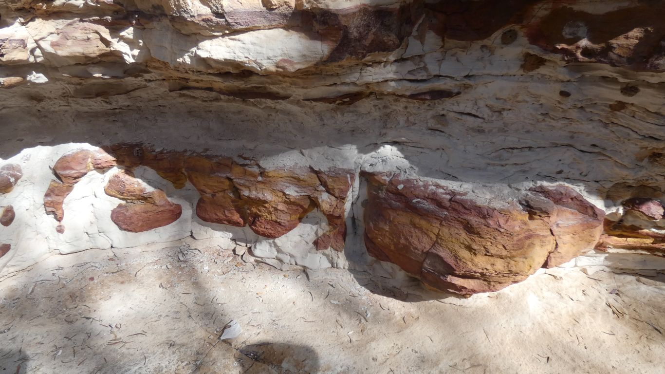
But some movement in the earth must have caused the (different sort of) sandstone to rise before being eroded. And since there's no basalt, different minerals to form the hard cap that gives the hills their flat tops.
The precipice sandstone in the highlands was laid down under fresh water, perhaps the sandstone here laid down under a sea. With a much broader mix of minerals.
Water, altitude, latitude, geology, chemistry, and humans, are just some of the influences on vegetation. I suspect my (our) picture will never be complete - which is part of the fun of attempting to satisfy curiosity.
Yesterday was unblock the windscreen washer jets on the wipers. Tedious. Had to resort to blowing compressed air back through the jets. Clean the outside of windscreen.
Then clean the inside.
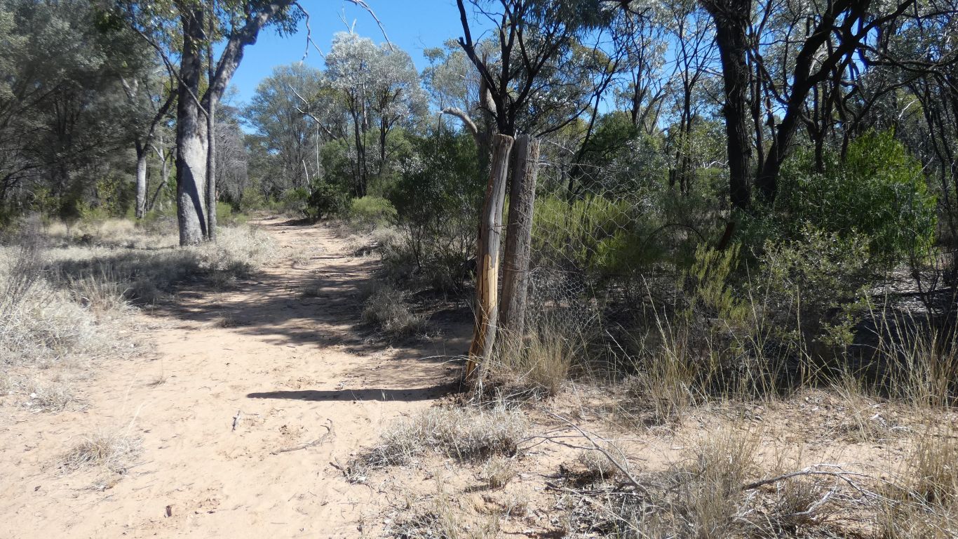
So today a bit of a stroll along a management track, south of the campsite then west for about 3km. No vehicles along for quite a while. Just signs of a horse, a cow, a pig, and macropods.
The high mesh fence around the tank had intrigued me. Now similar fence (with disappeared gate) across the track. Ranger calls it an "exclusion fence".
The bottom mesh is bent along the ground for about 300mm. We've seen rabbit, or hare droppings, so perhaps rabbit proof. But generally "everything proof".
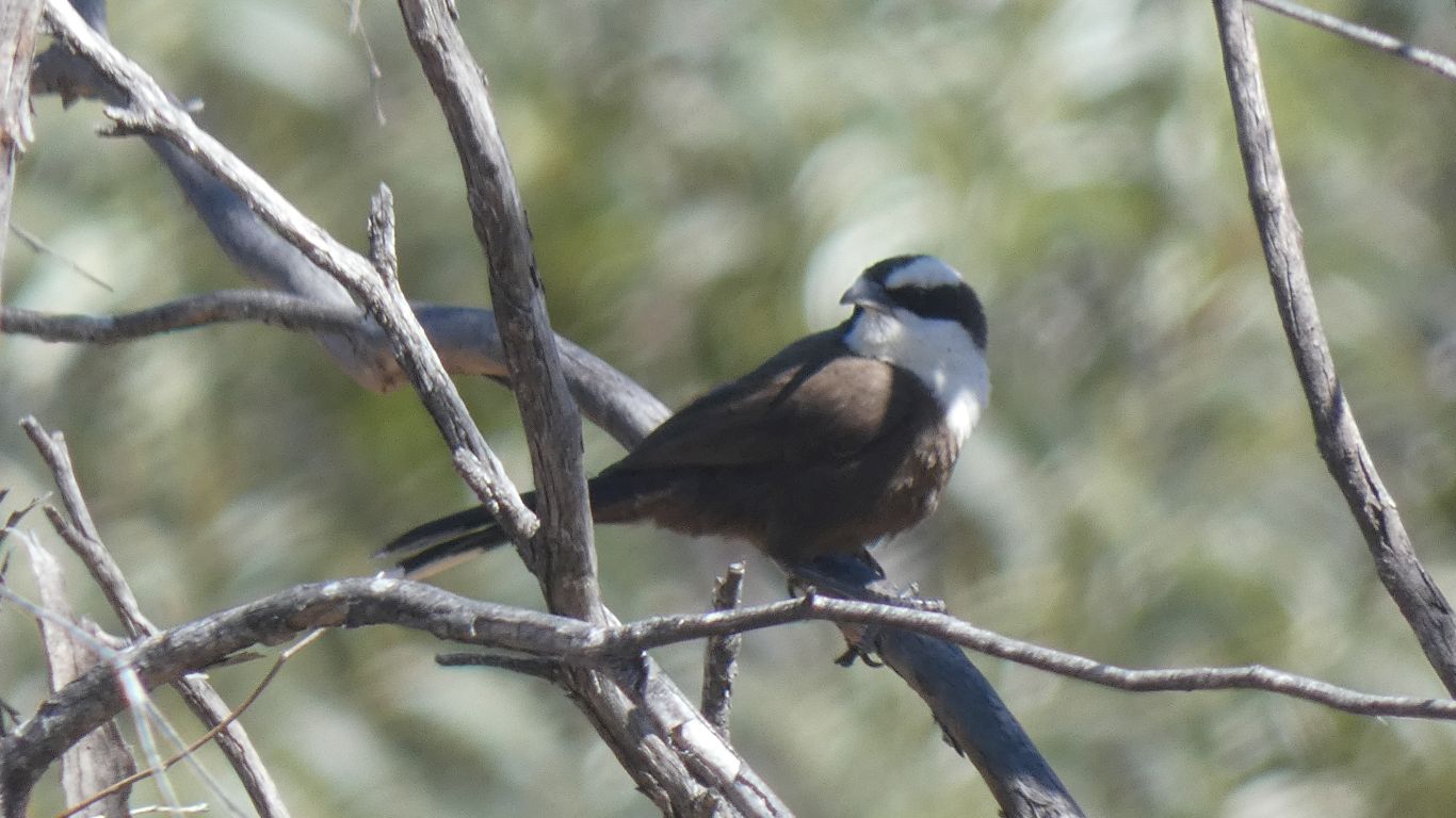
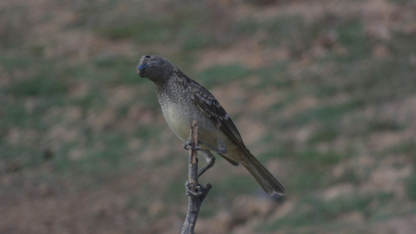
They are Halls Babblers. Local to a largish area which we are more or less in the middle of.
To confuse, they also don't sound like other babblers. Very much not like the babblers we heard but didn't see in Carnarvon Gorge. Though they do babble.
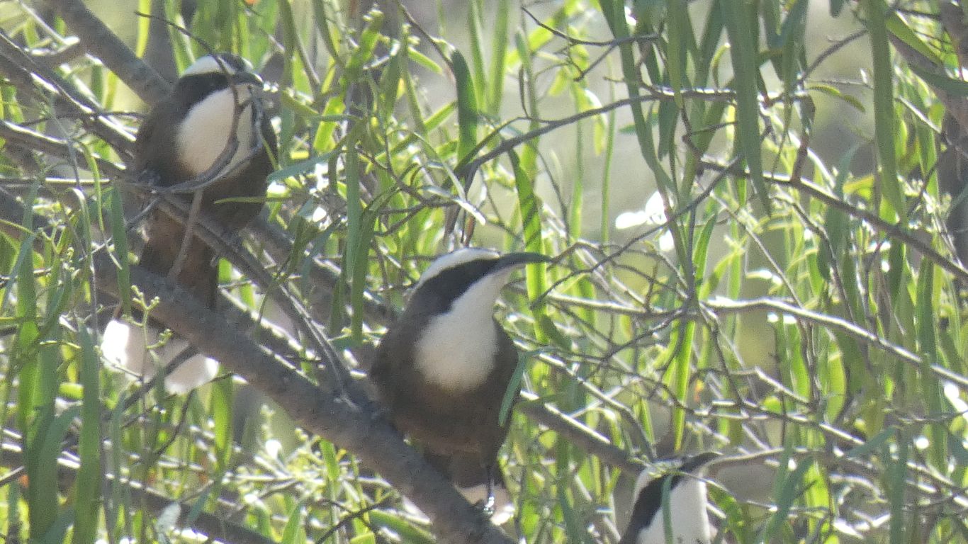
So they progress through the bush, rather than staying in one place.
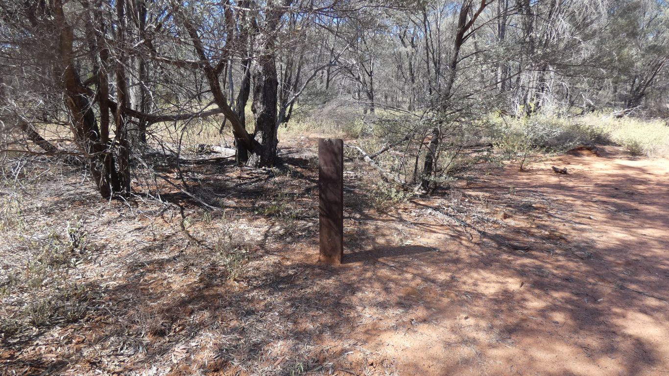
This is a milled, treated pine, post. It used to have two signs attached to it. Each about 150mm square.
About a km along the track. There's no evidence of tracks other than the one I'm walking on.
At the camp there's a couple of old signs identifying trees. I suspect some parts of the park have been allowed to decay.
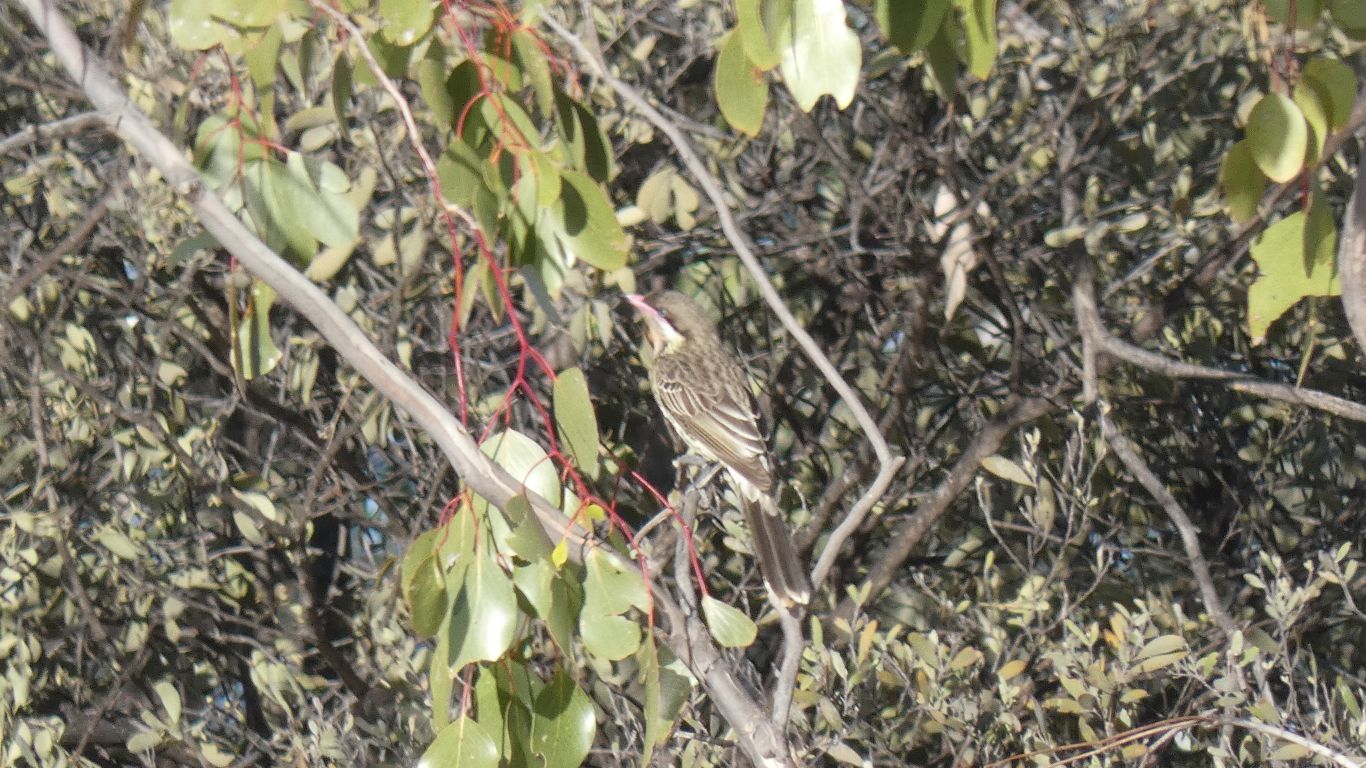
Effortless waiting for them to arrive for a drink.
A spotted bowerbird.
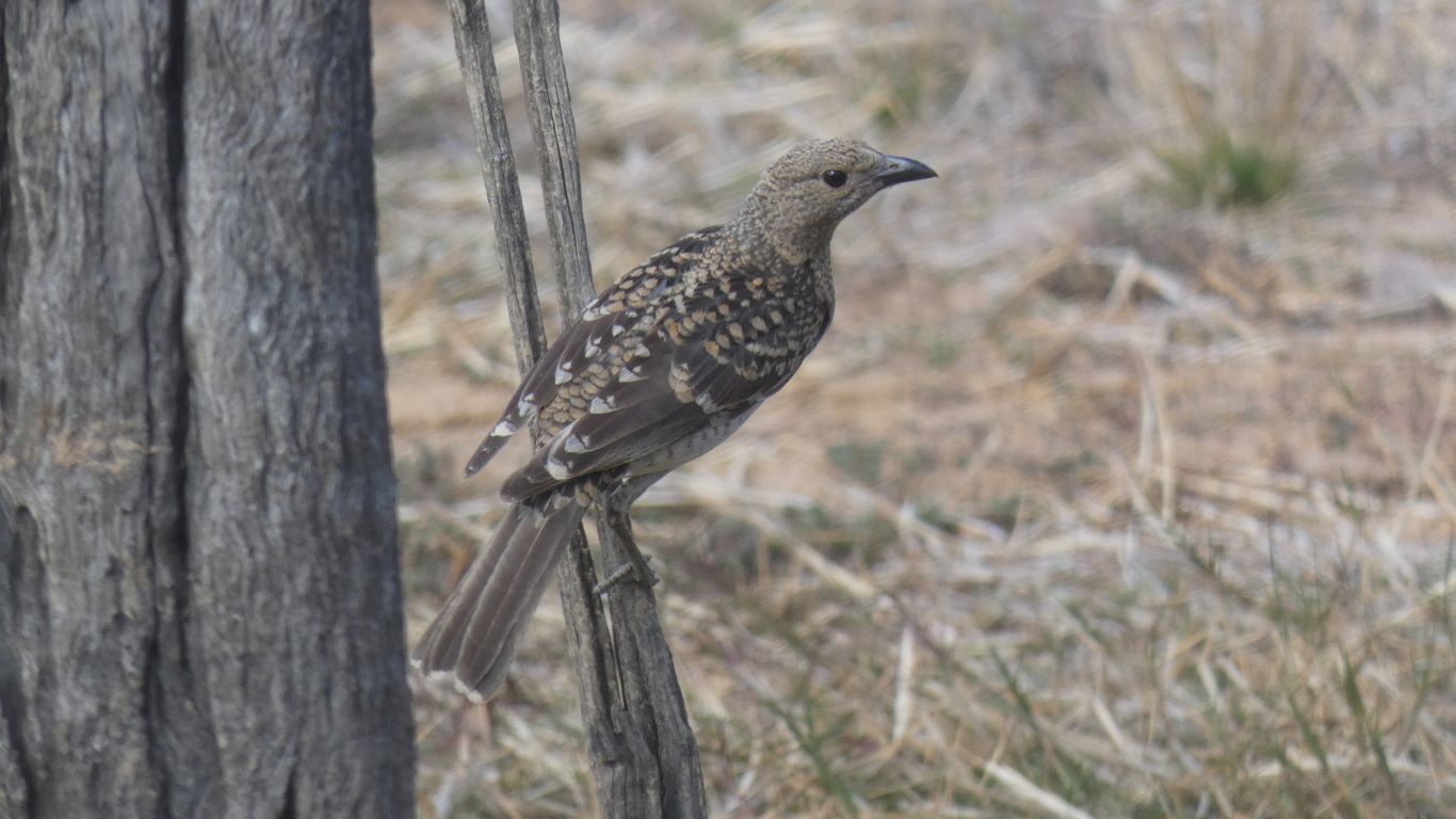
Just a hint of pink behind its head, not visible in the pic.
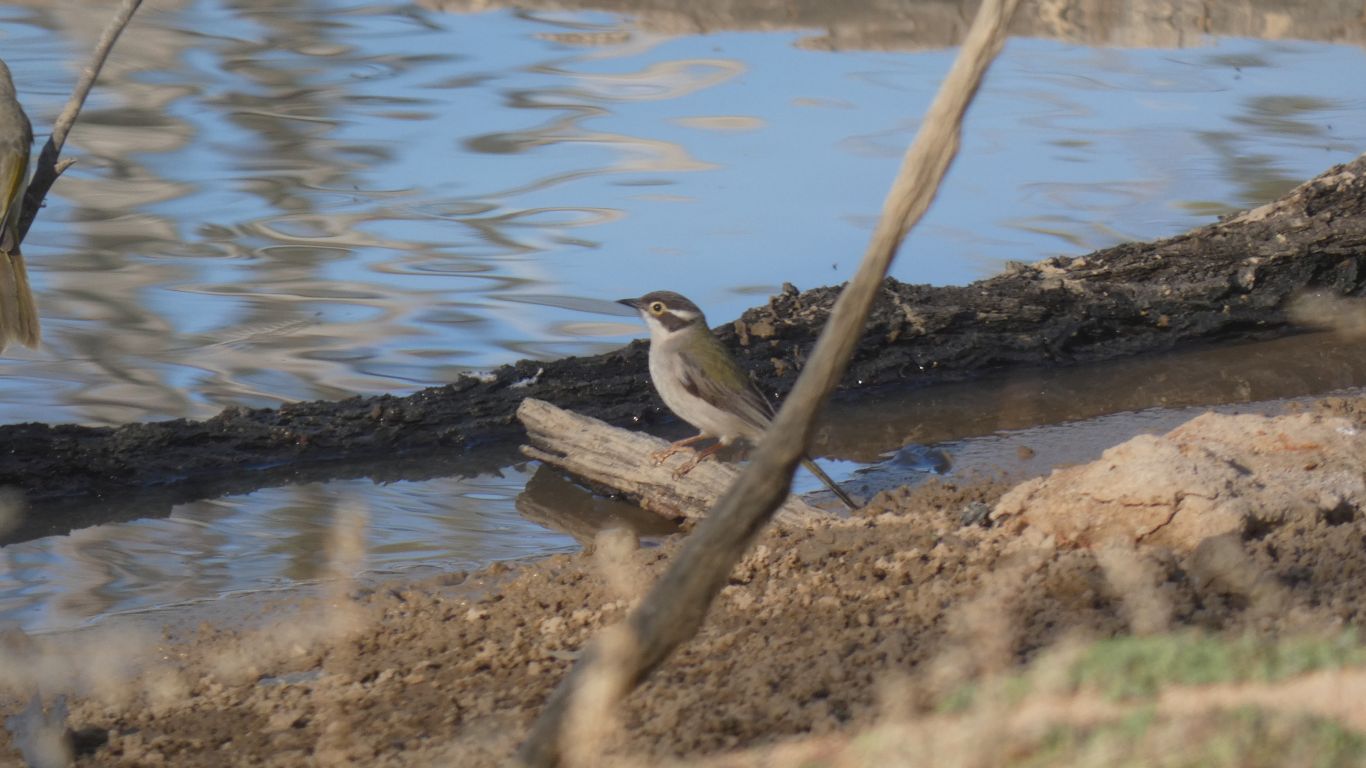
Perhaps a brown-headed honeyeater.
Sometimes surprised when we look at pics back in the truck.
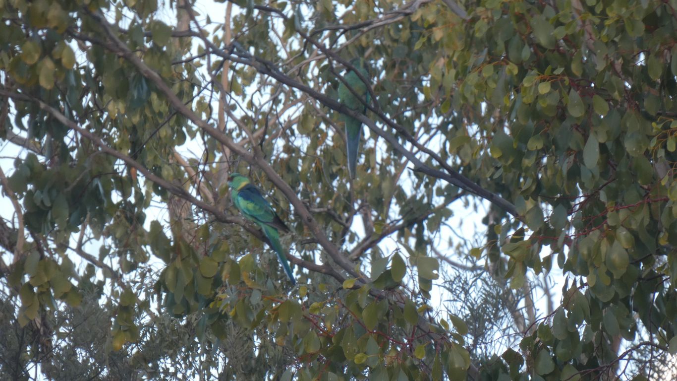
Very cautious. Arrived, looked for about 5 minutes, one flew down to the water, was spooked, so back to the tree.
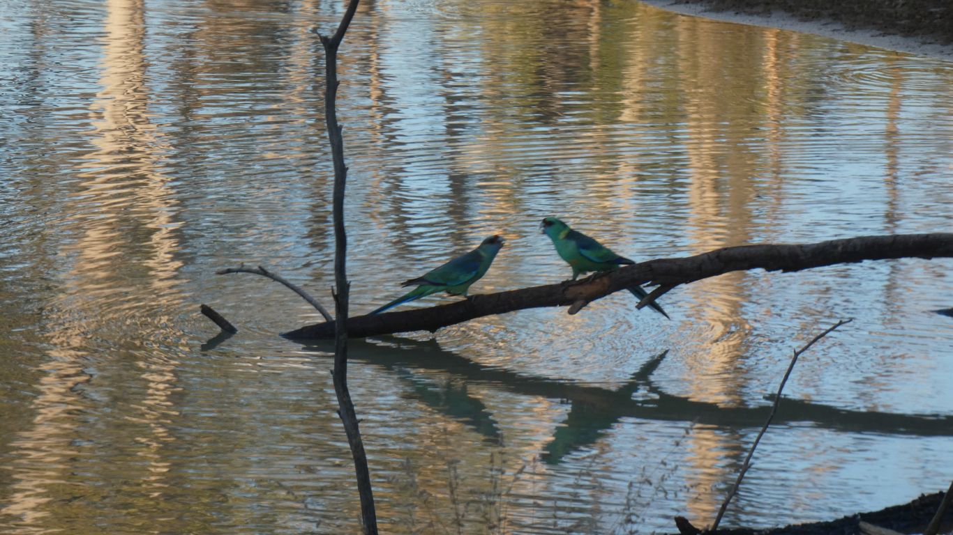
But no mulga parrots.
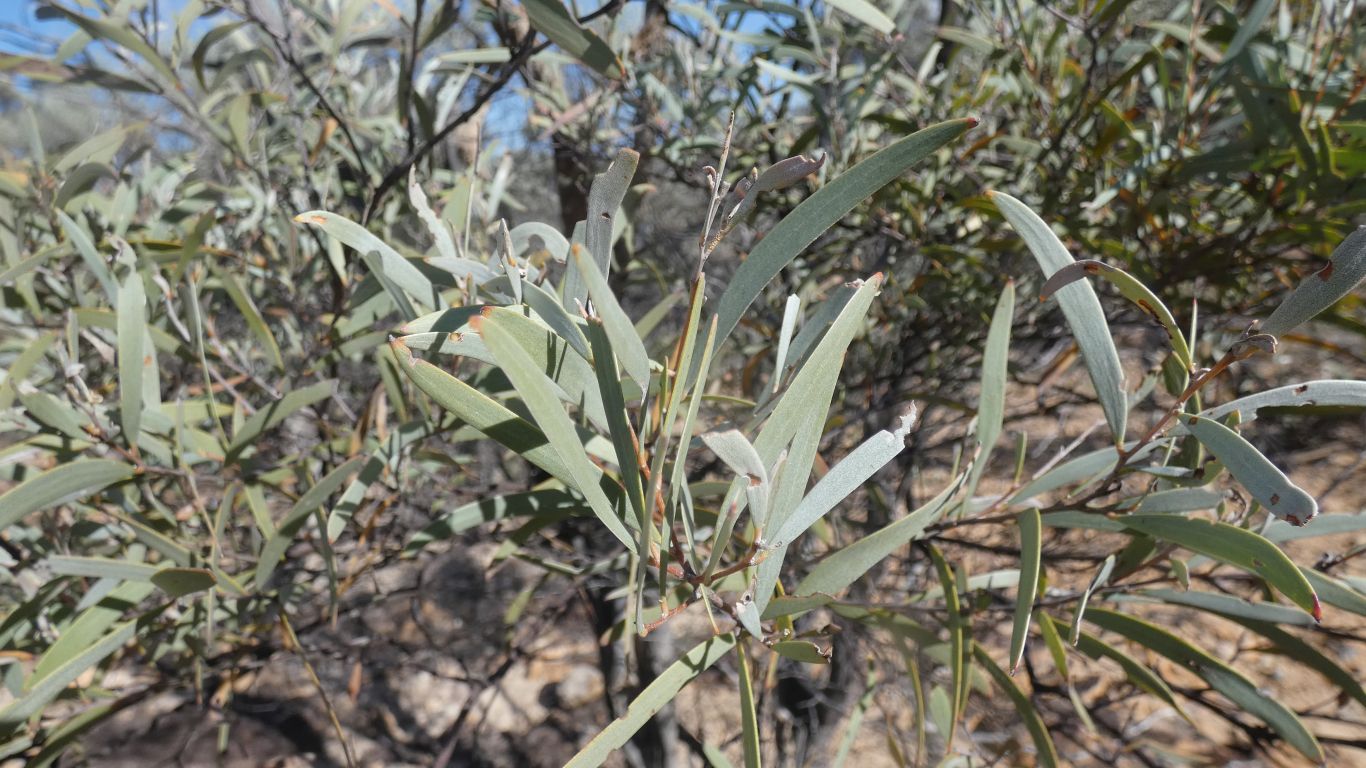
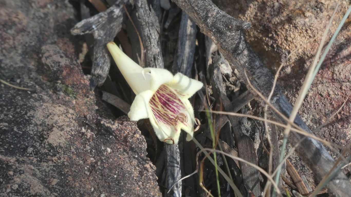
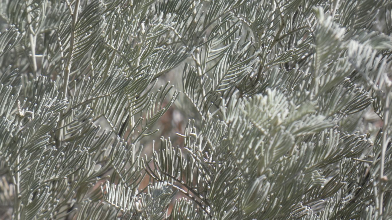
The scientific name of the dominant mulga is Acacia aneura, which refers to the lack of a prominent mid-rib in their leaves (a means “no” and neura means “nerve”).
The structures that appear to be leaves are actually flattened leaf stems called phyllodes. They function as leaves, but are very efficient in arid conditions.