We also couldn't find any indication of "yards" within 500m return of the end of the vehicle access. They are in a different place on maps.
Add the missing sign, and the second gate where the first should be and we can convince ourselves we should investigate.
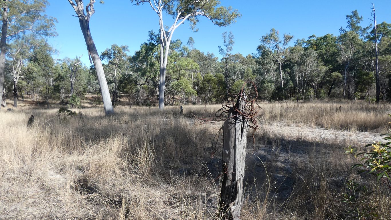
Shortly before the second gate we notice a ball of wire on top of a post. Apart from Mitchell probably not carrying #8 wire there's also no other evidence of a yard at this location.
A red-herring?
While I didn't record the gps where I took this pic I could later use time of day the pic was taken to find the coordinates for that time - after checking tracker and camera have the same time settings.
Better than just waypoints in the tracker, but less convenient. We have Oziexplorer configured to record tracks every 50m. Which means the direction the arrow points is not always the direction we are walking. The tracker is more frequent, but still slow. We have a compass on mobile phone ...... which is in the truck!
Perhaps we should do like English hikers do. They hang transparent plastic map folders around their necks.
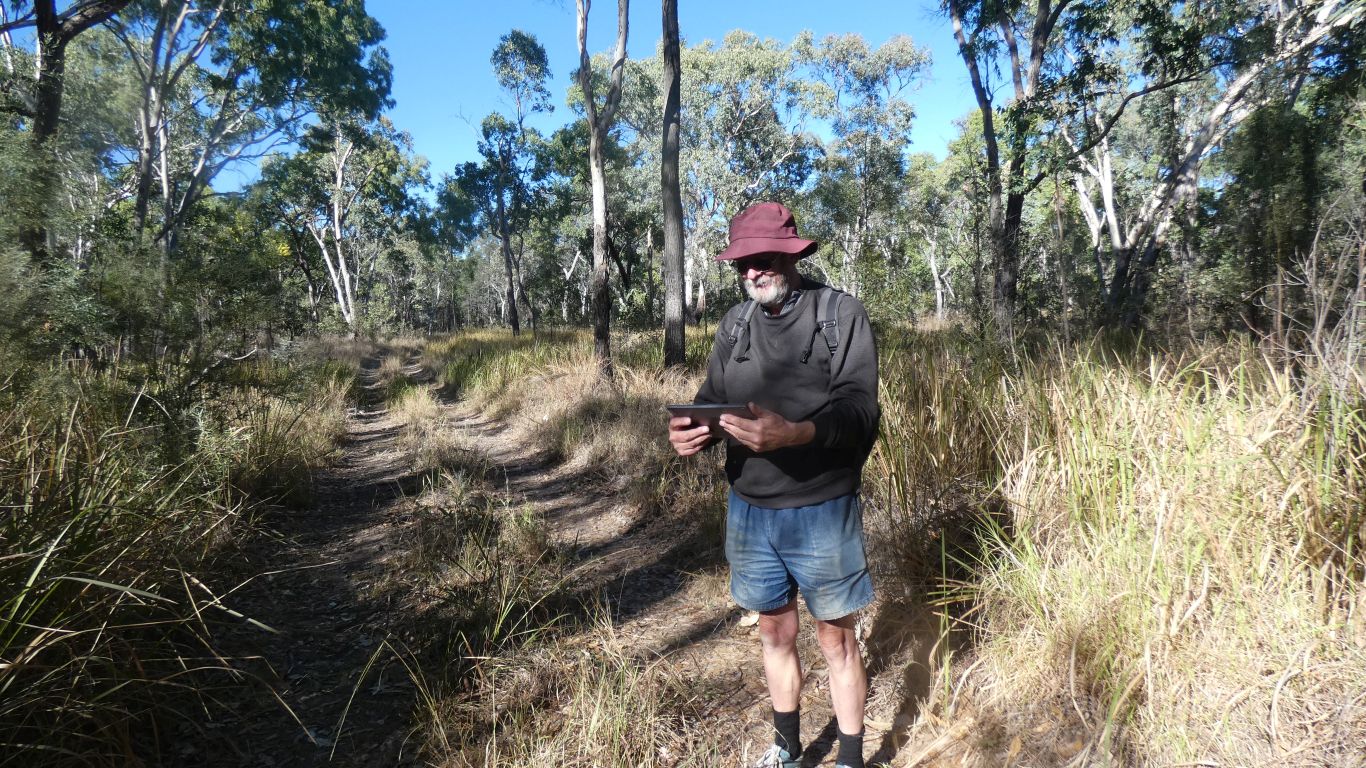
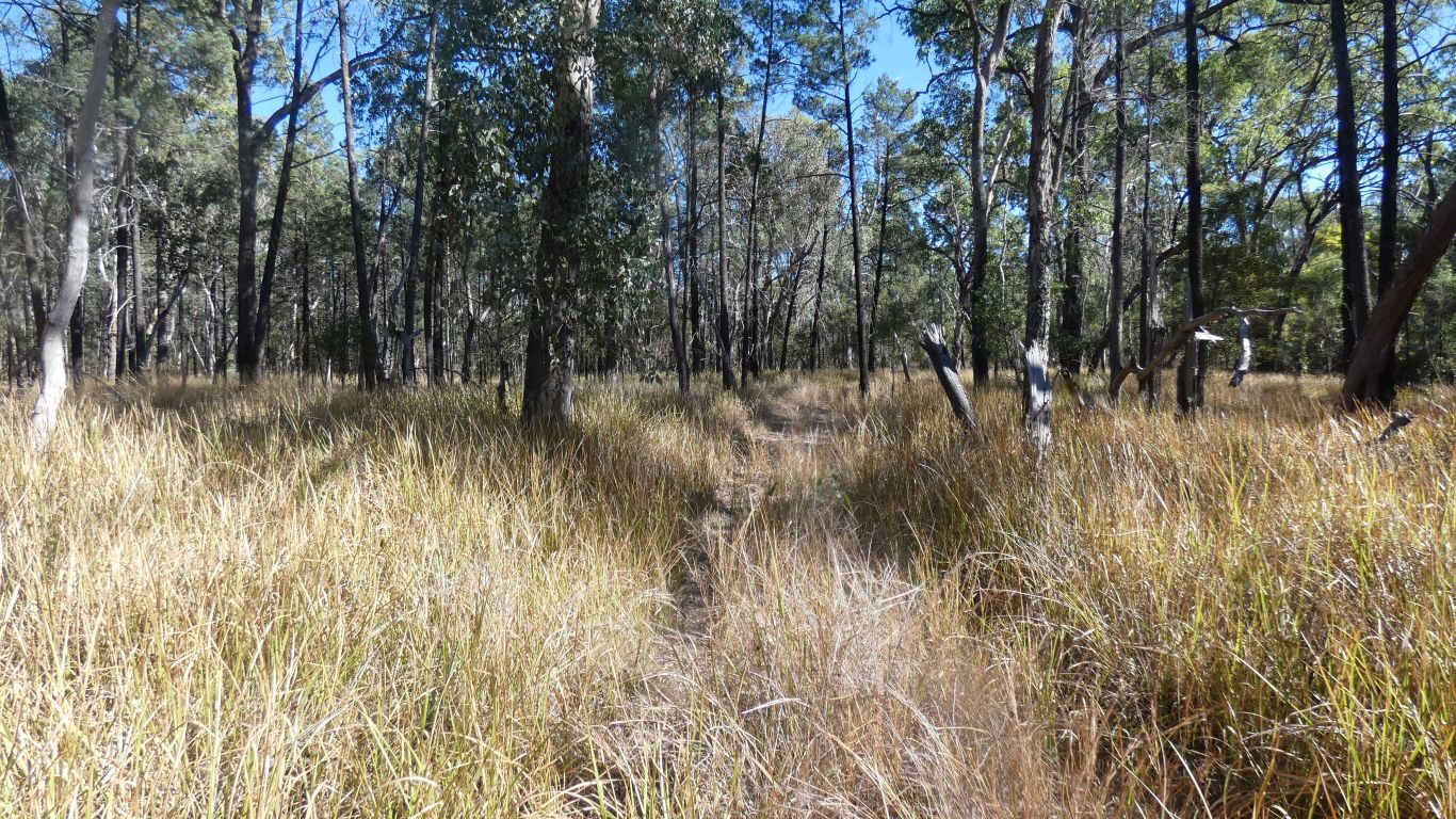
We are about to pass through the second gate, beyond which there are no discernible tracks.
Just checking which direction to bash through the grass. At least north is always up on the map, which doesn't rotate on the screen!
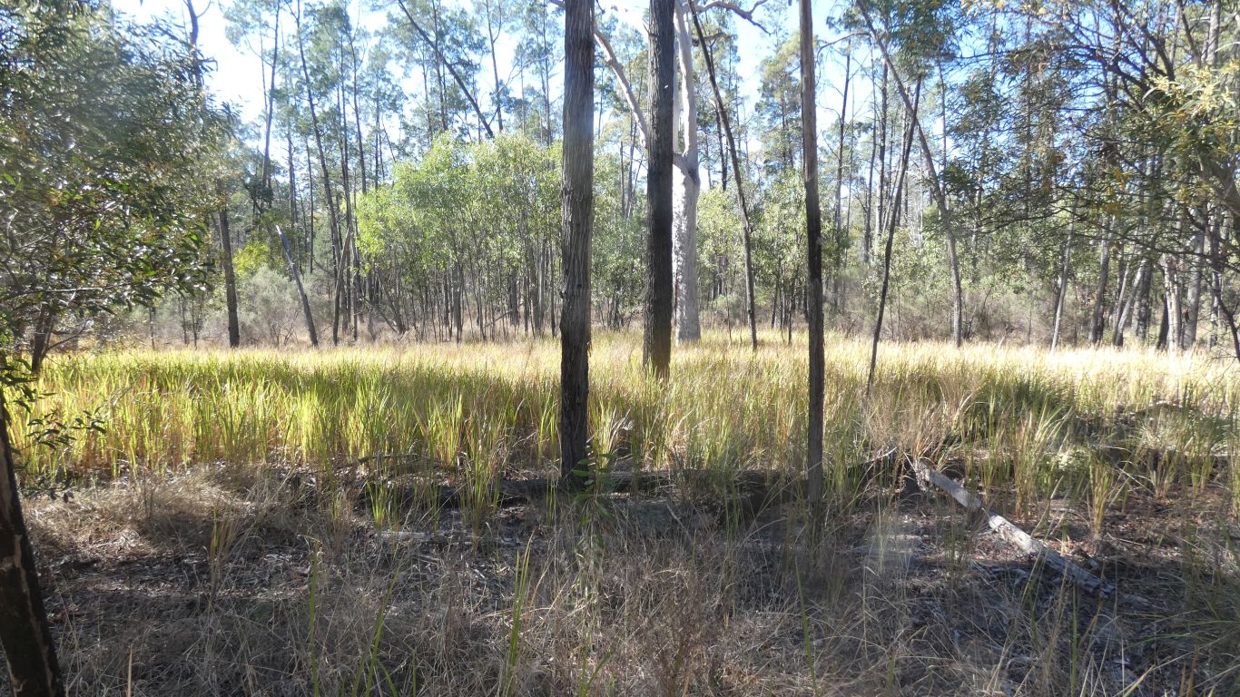
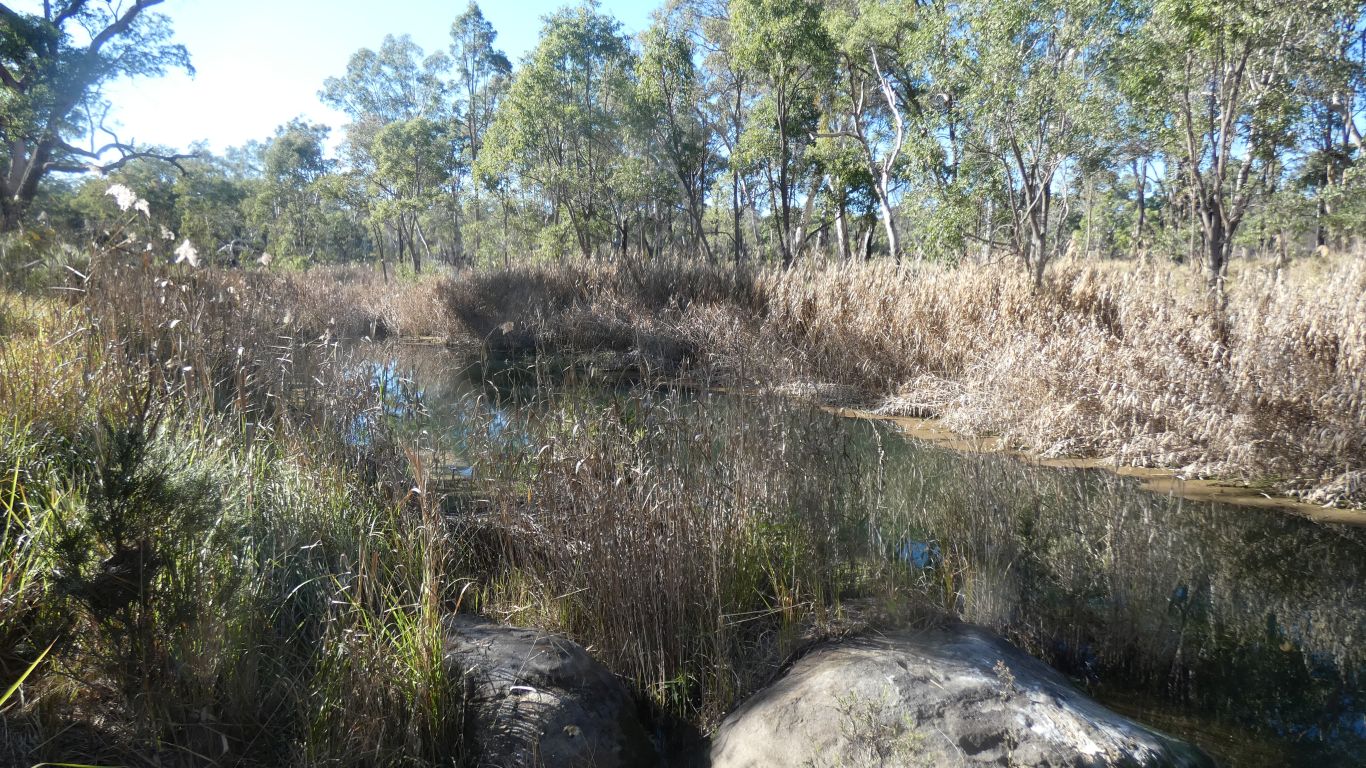
We look for indications of water. There are damp patches, but no sign of springs or flowing water. No sign of tall reeds.
While still aware of any vegetation changes.
We cross an old 4wd track. Overgrown and not used for years.
It runs along the edge of Louisa Creek. So we follow it south for a km or so.
No sign of flowing water in the creek, we turn back
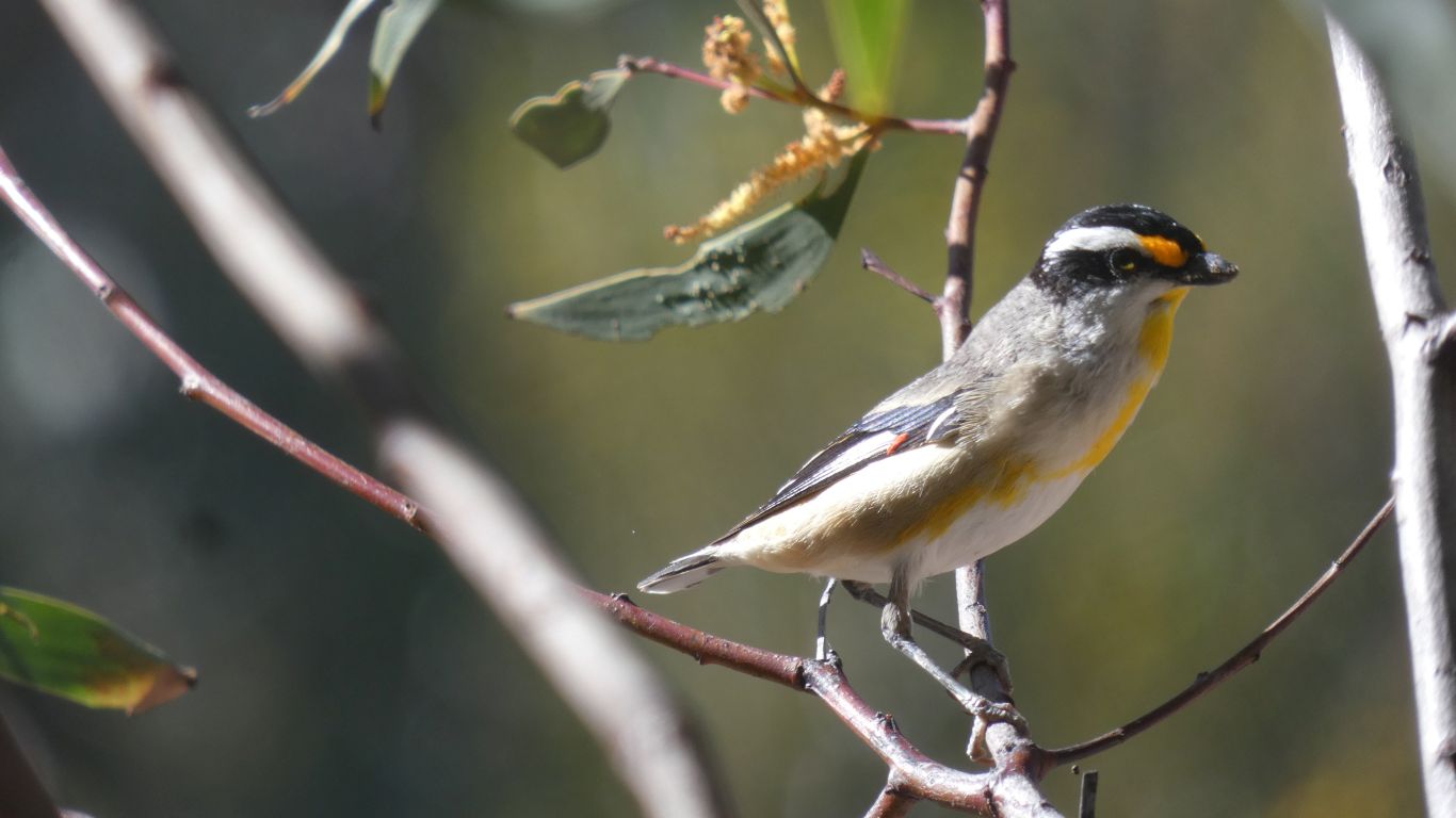
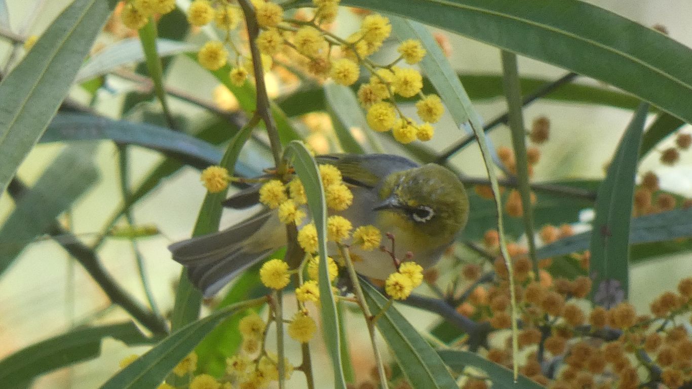
A striated pardalote, of the race ornatus.
Seeing its beak move in sync with the sounds I now know I've been hearing them in lots of places, without ever seeing them.
A sort of peep ...peep peep peep. Though we also here peep ... peep peep in other places.
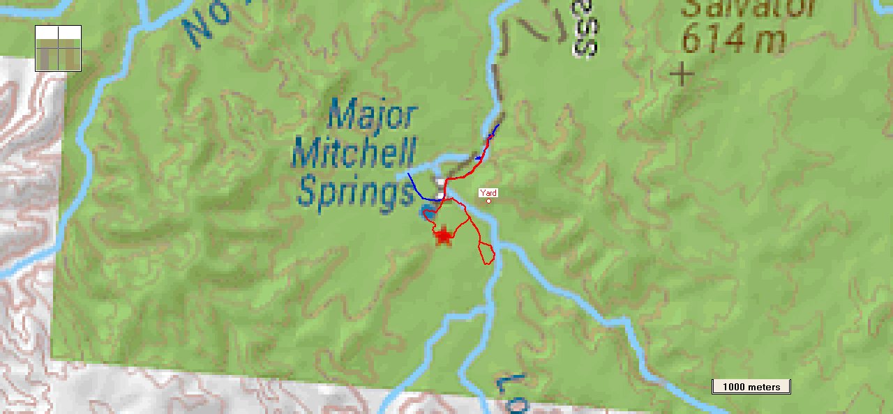
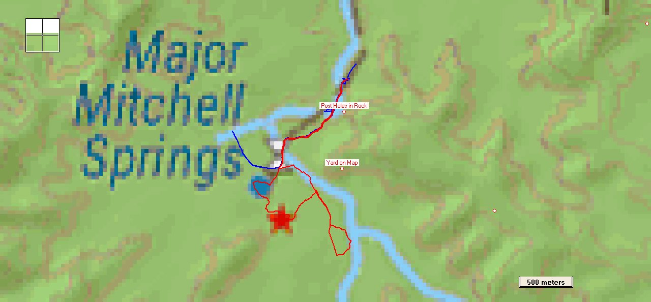
The red line our bush bashing yesterday.
The northern end of the red line is where the first gate, end of vehicle track, and sign posted Mitchell Springs, are located.
The little blip to the west on the blue line is our first abortive attempt to find the yards (initially built by Mitchell then added to over the years). 250m from end of vehicle track, as described on the campsite notice board. We also looked on the other side of the track, along the rock wall, but perhaps not far enough.
The second gate is where the gate on the map is marked, just that it is on an east west fence line, not the north south orientation of the map.
The star goes with the 21 (not shown) km from the previous star to the north. It seems misplaced, beyond the limit for vehicles.
On a different map the yards are marked as north east of the marked springs, on the other side of the creek. We cannot imagine why Mitchell would locate them away from the water. We hoped the overgrown track would lead us to the yards, but alas, no.
The overgrown track became more overgrown as we neared the gate, it met the fenceline about 100m east of the gate.
Naturally we missed one potentially vital clue .... (only one?). The walk description for "yard site" on the campsite notice board includes "look for remnants of fence posts, old bits of wire, and a series of supports for rails carved into the sandstone wall". I guess we didn't look closely enough at the sandstone yesterday. Even though we climbed the end of it. And there was no sandstone wall on today's route.
National Park 1 ..... Ali and Julian 0 ..... Map Makers 0. Victims of fragmented information? Like a jigsaw with extra pieces that don't fit, and others fallen to the floor, unseen and ignored.
Apart from not finding water or yards, and not resolving differences between park directions, maps, and reality, we had fun "playing detective". We think fun is a worthwhile aim.
Past the swimming hole. Which is past the second monument!
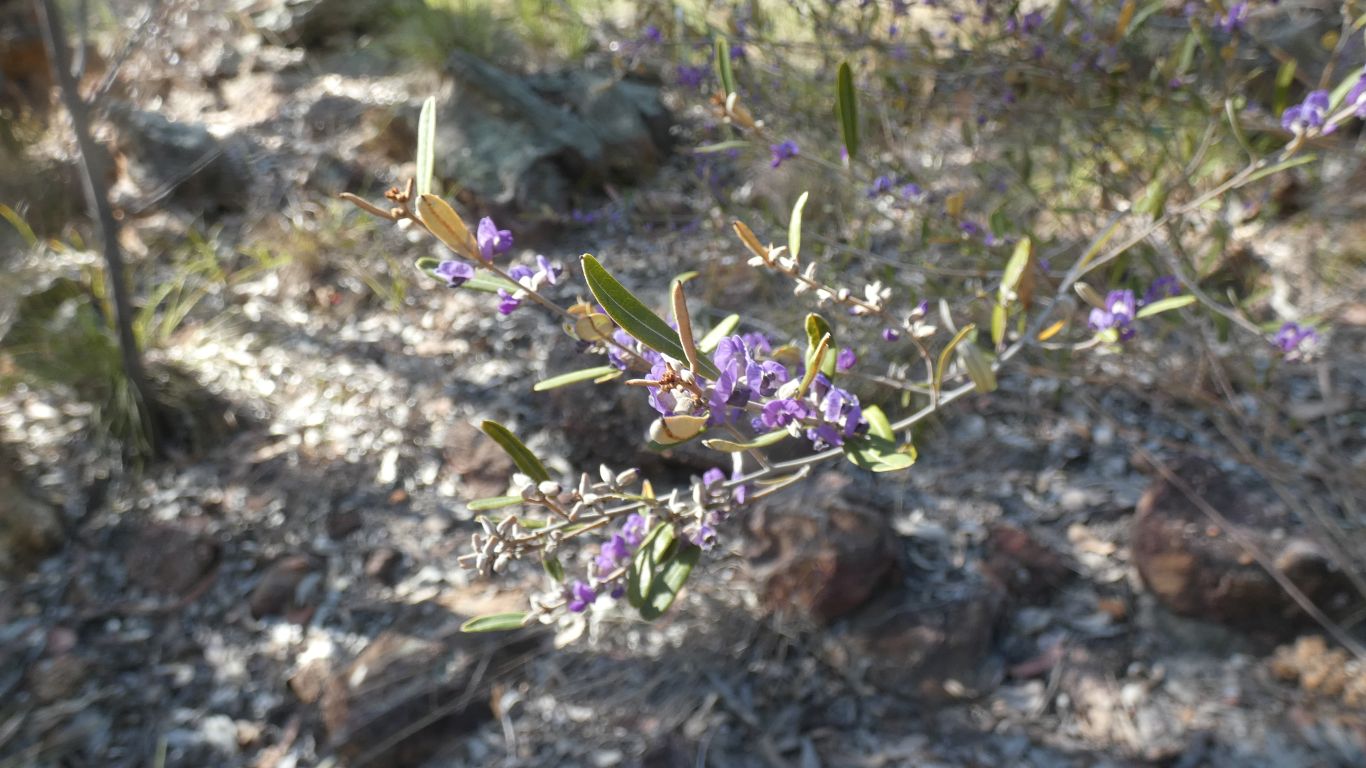
We'll settle for calling these "purple flowers".

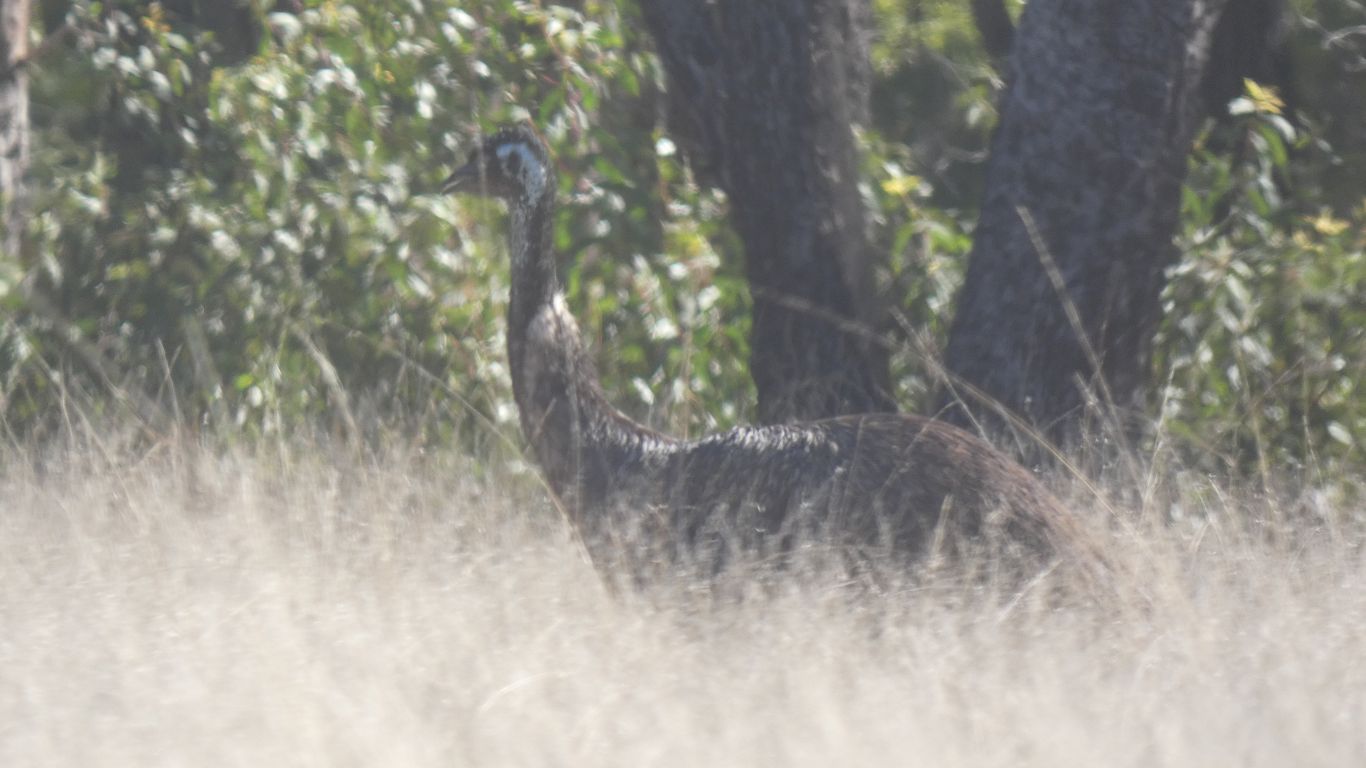
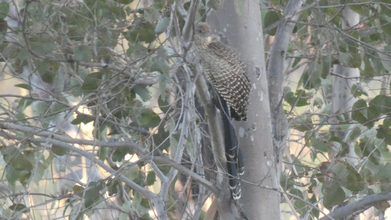
Surprising an emu along the way.
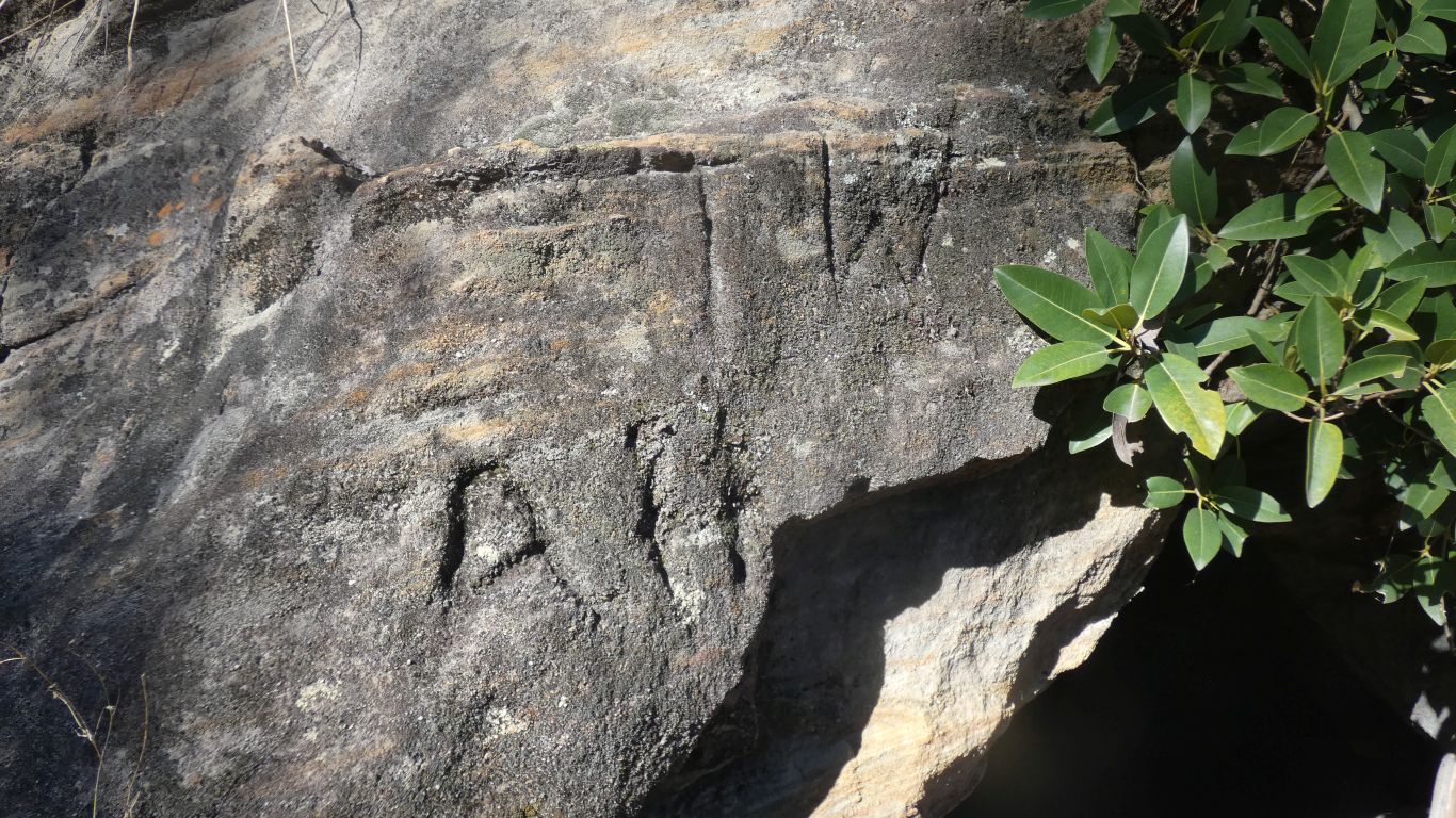
We wonder who TW and AH are. Scratched into the sandstone a long time ago.
Are your archeological detectives getting closer?
We have no idea if this is a series or there is a series of sets (if there are more) ....... such are the vagaries of the English language ........ bah humbug.
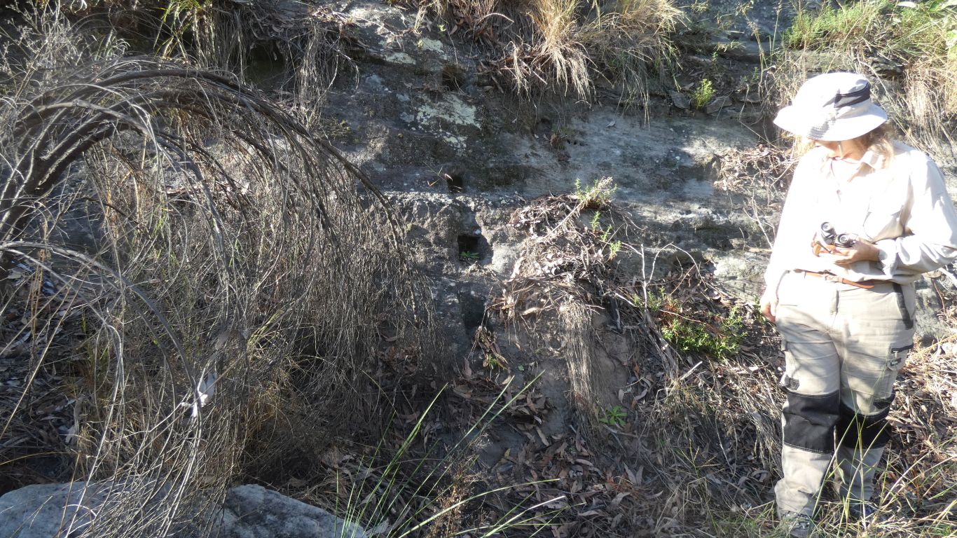
Bt this time an almost straight line through another obvious fence post to the rock wall supports.
The post just to the right of centre in the pic has cutouts to support rails.
We've found the location of the yard. More or less where the park said it was, and not the maps.
The yard was first built by Mitchell as part of a base camp in September 1846. Then improved in about 1888 and 1940's.
Here's the location of the support holes in the rock face on the same map as our previos walks, and where the map thinks the yard is.
Mitchell crossed the Dividing Range near Mt Faraday, which is about 11km SE of the springs. I guess he followed Louisa Creek, which rises at Mt Faraday.
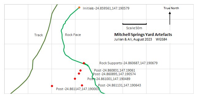
- the carved initials
- the carved rock supports
- some posts
- the track
- the rock face
On the assumption that the yard used the rock face as one side we looked for another end of the fence in the rock face. But alas, not to be. The face is steep enough to form a barrier where we found the holes, but not so steep further round.
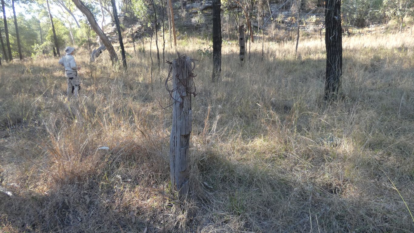
The post we pictured from yesterday, first pic on this page, is more than 300m away, near the track. Probably too far away to be part of the yard, and not included on this map.
I neglected to record the coordinates for a large diameter fallen post near the rock support holes (silly me!).
Having drawn this map (would you believe Excel?) we could perhaps project where to look further. But that would be for another time .....
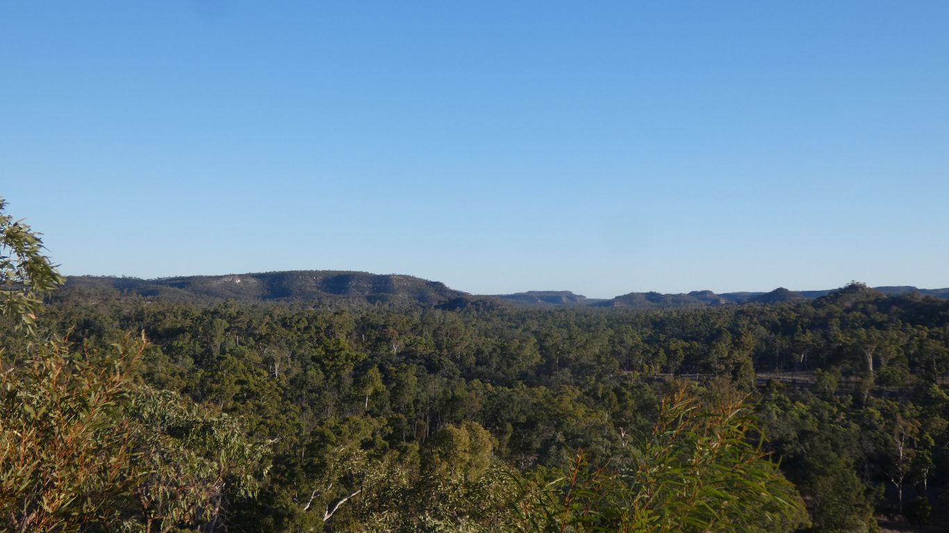
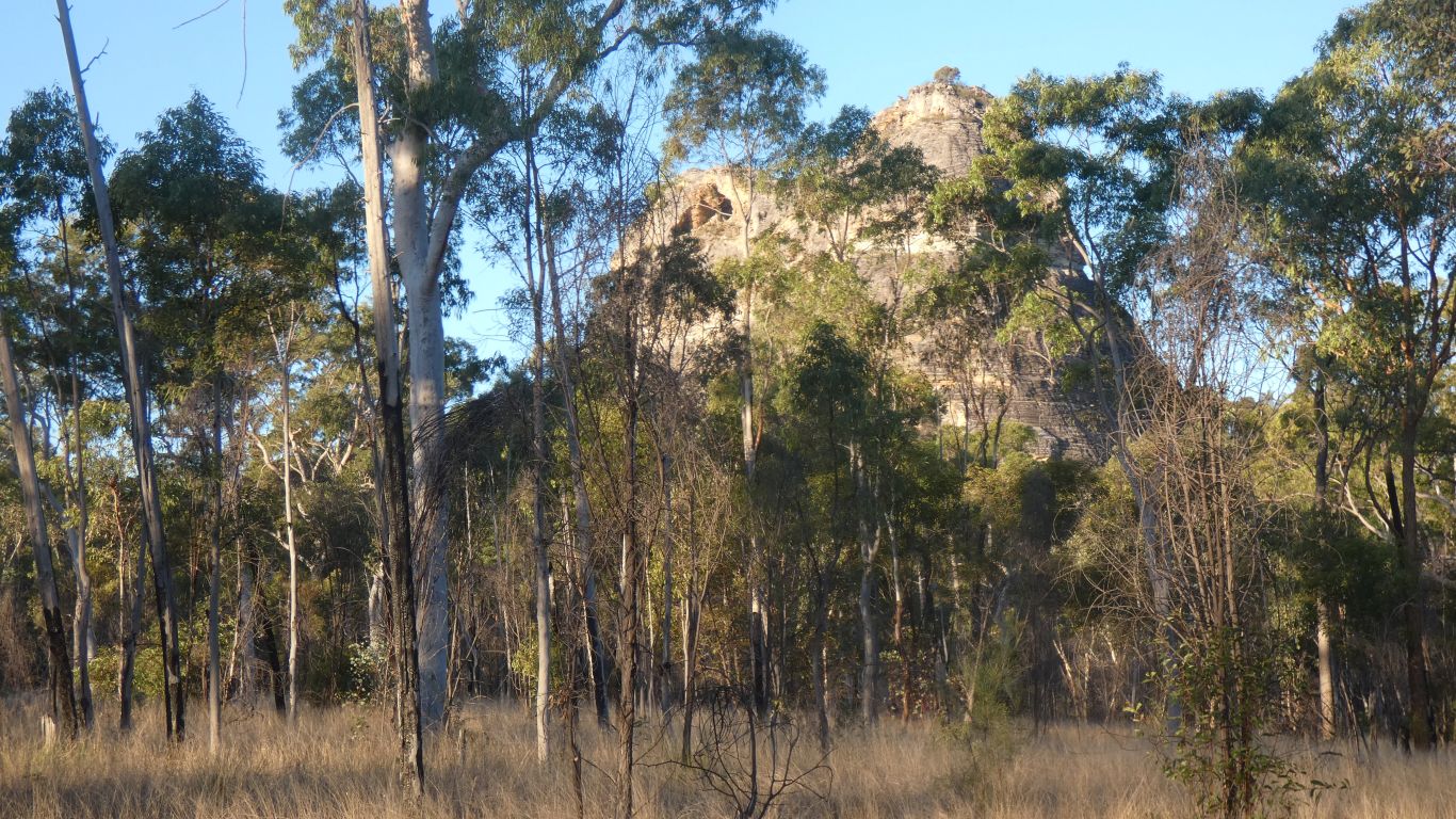
Making use of afternoon sun for a quick walk to the top of Homoranthus Hill
Mitchell Springs hidden somewhere near the flat part of the horizon, with three pyramids lined up to the right.
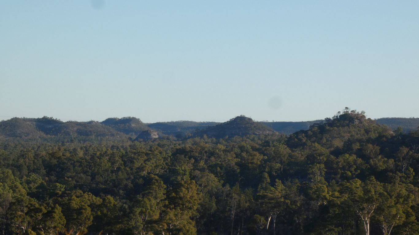
We didn't wait for sunset.