Towards Leonora / Gwalia July 28 - 29 2025
 
  We head south. Our aim is the Anne Beadell Highway, east of Laverton.

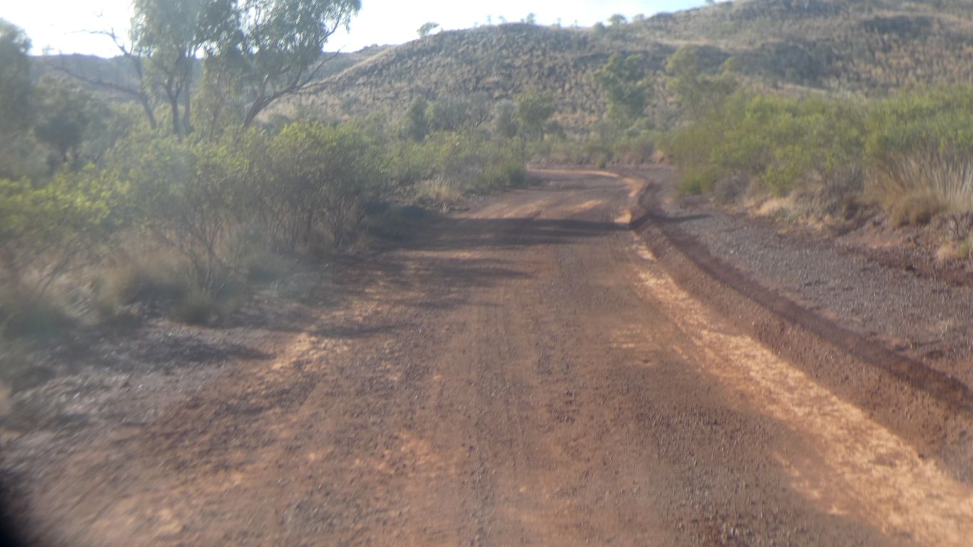
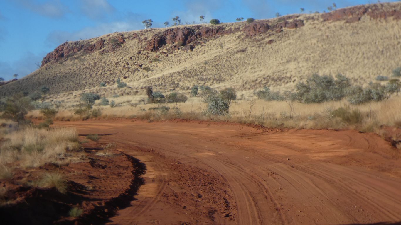
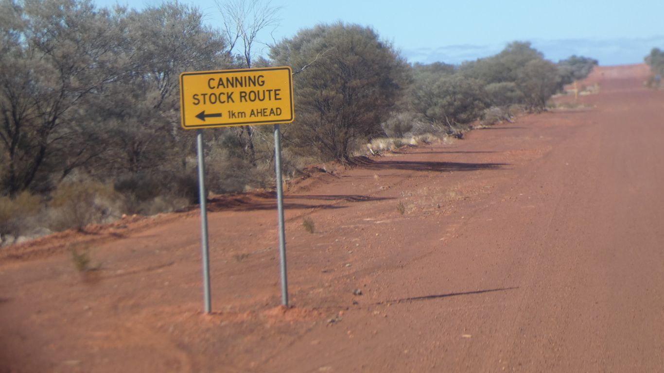
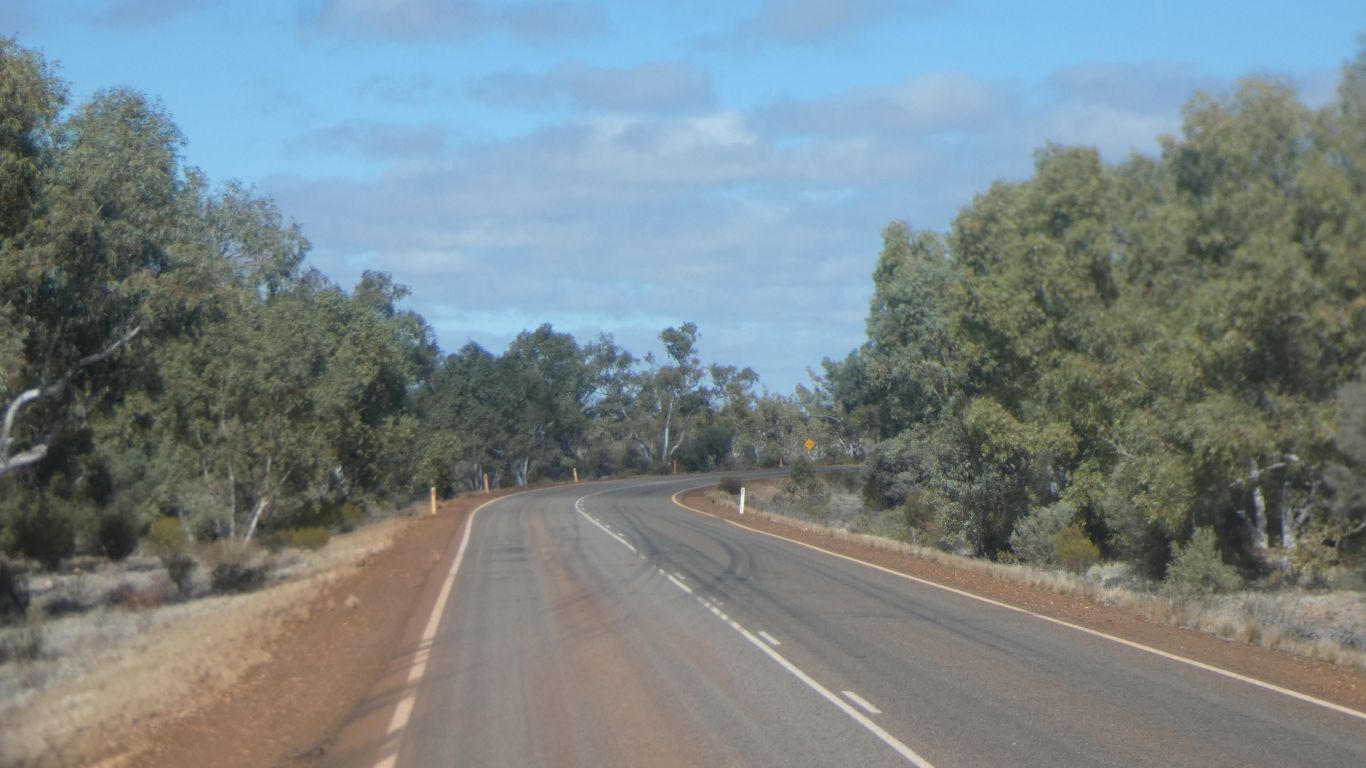
We find fourth gear on the newly graded track east, to the rail line.

     
  The track follows the creek bed.

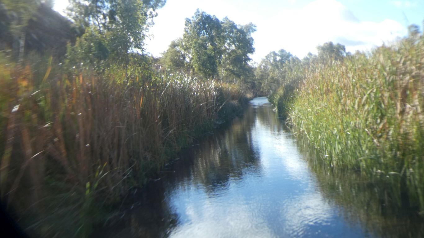
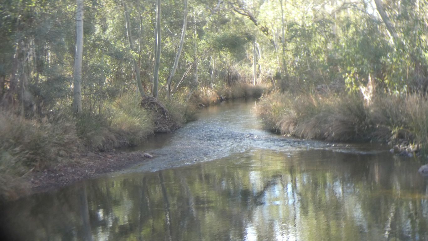
Hope Downs Mine is below the water table. The excess water is pumped into Kalgan Creek. Just downstream of the pool.

Last time (2018) I didn't know about the water, I was nervous.

This time I know the level is controlled.

     
  There's three stretches of water to drive through.

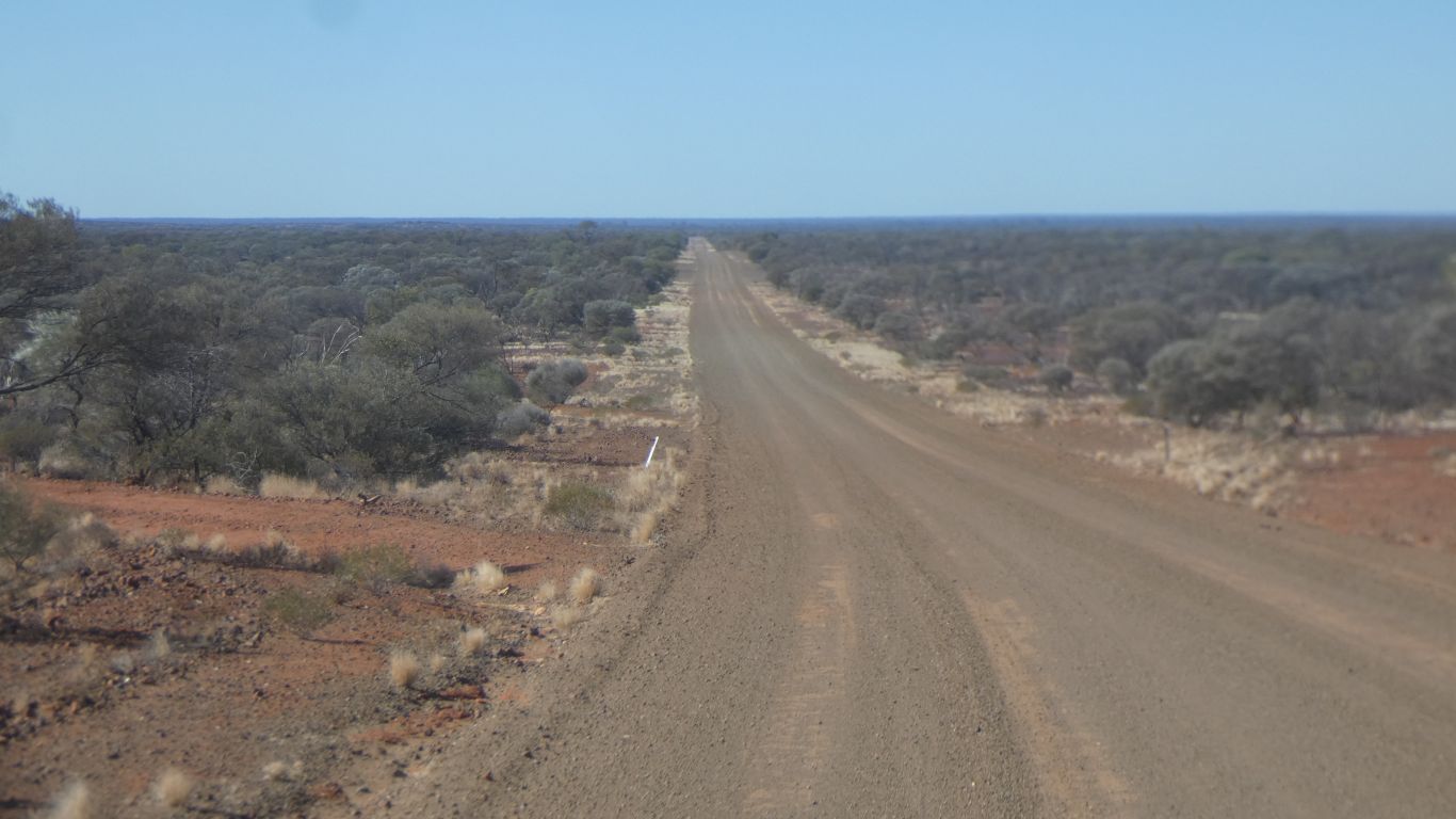
This stretch was a bit clingy and needed some extra pressure on the accelerator to maintain speed and momentum.

Not a good place to stop, or even change gear.

     
  We admire the valley.
     
  I never tire of "big engineering".

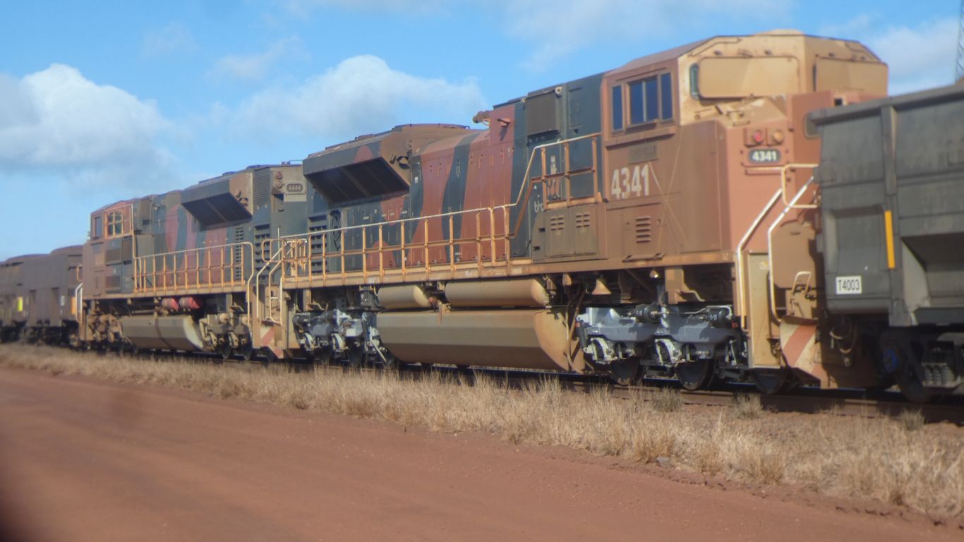
About 360 rail cars, these two locos in the middle.

     
  We camp beside a side road. South of Kumarina.

Then carry on the next morning.

     
  The navigator was asleep. We overshot by a few hundred meters, turned round, and found Wiluna North Road.

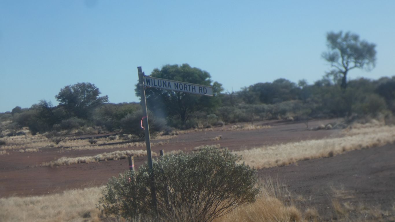
We drove from Wiluna northwards last year.
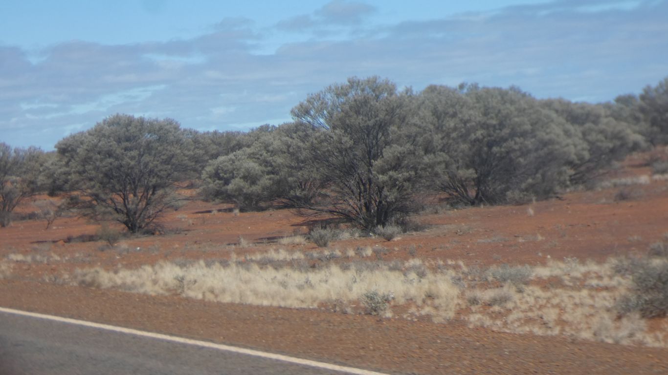
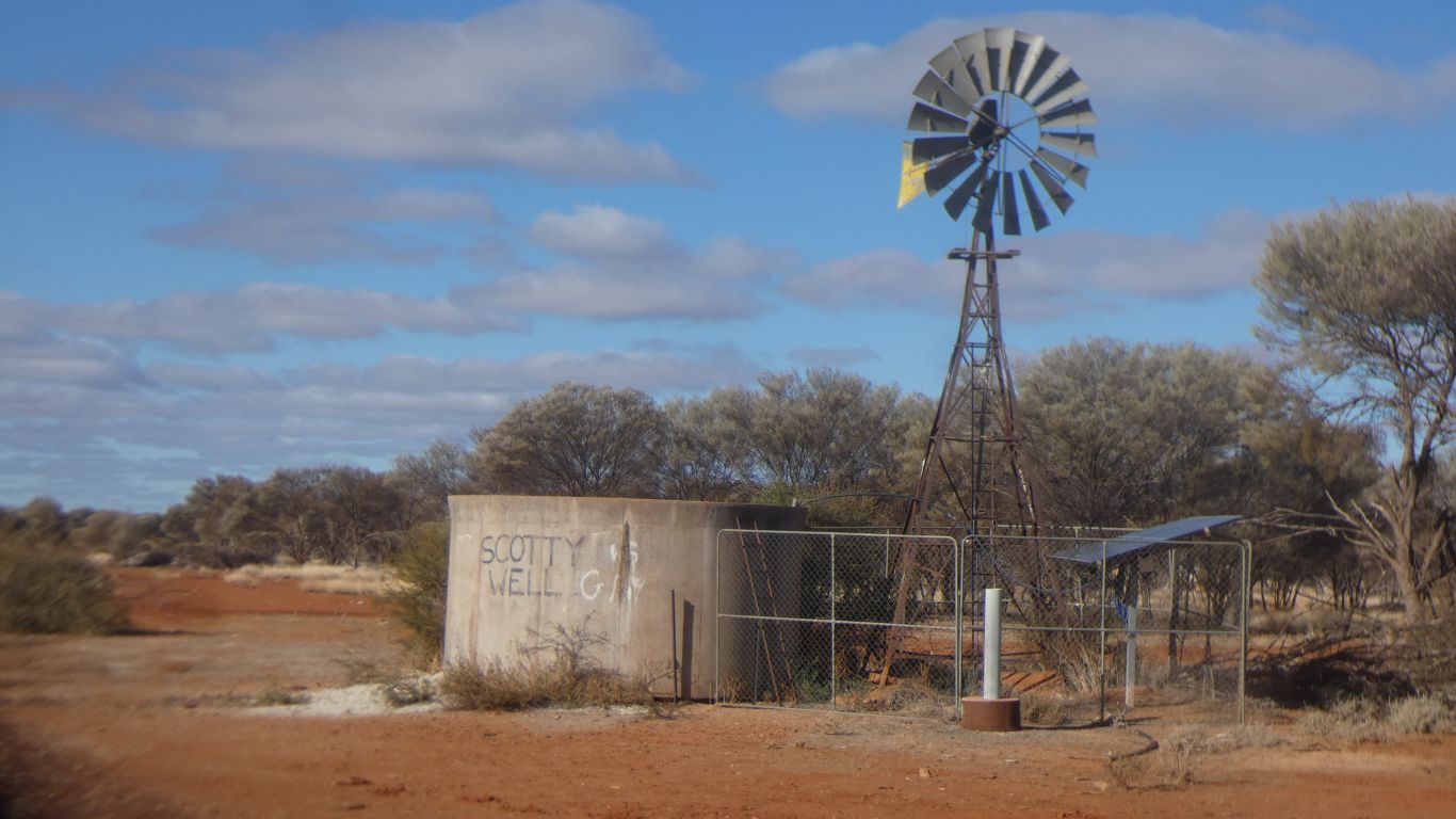
     
  Easy driving.
     
  A bit of nostalgia.
     
  Mount Alice is just a bit north of Wiluna.
     
  A long discussion about the trees.

Mulga. An Acacia.

     
  Are we imagining gum trees, after a couple of hundred km of mulga?
     
  Opposite Matilda Mine is this odd (to us) looking plant.

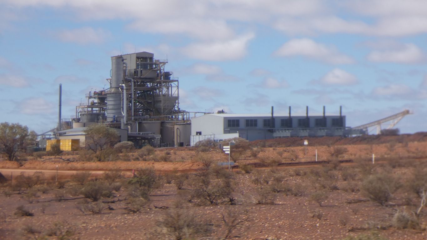
The five exhausts are from generators. Probably gas.

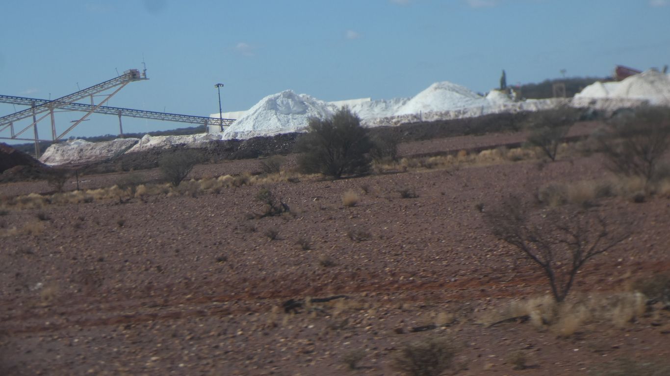
The vertical plant part of a sulphate of potash (SOP) plant.

Brine from Lake Way. Processed through a series of evaporative ponds then through the SOP plant.

     
  Salt ...... but which one?
     
  We camp down a side road, about 50km south of Wiluna.
     
Gwalia and Malcolm Dam July 30 - 31 2025
     
Gateway
CommentsHome


Feel free to make a (useful!) comment.
Please enter this number so we know you are a real person   

and your name      and email address     
your email address will not be displayed. Nor will your ip address which is 10.1.77.21  
and enter your comment .....