
Two passes, marked and named as passes on the map. And a strange looking bit of country north of Achit Nuur that turned out to be the roughest gibber plain we've ever crossed.
Tsagaannuur is at about 2100 m and not mentioned in our guide books.
We are still improving our navigation!
On the far west of the maplet is the border. Just a sealed road on this map, but marked as as a pass, per. Durbet-Daka (2481 m), on the digital map of Russia. And the road beyond is through a fairly long valley in the Altai Mountains.
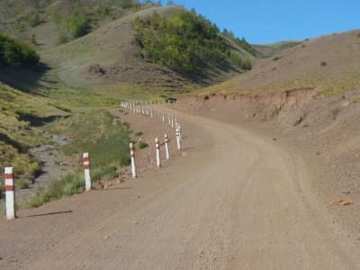
We have two passes to go over to reach Tsagaannuur. Our nearest town to the Mongolia - Russia border.
This is the first pass. The second is supposedly a bit more rugged.
There's a lake between the passes which we intend to camp at.
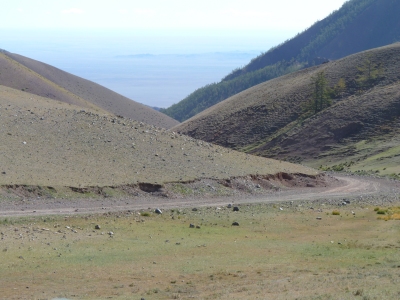
So far so good!
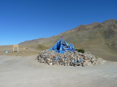
And an advert for the Western Mongolian Folk Festival held around August 4th.
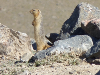
This one decided to pose long enough to get the camera working.
We know they look like meerkats. But they behave quite differently. We've seen them standing up like this occasionally. But we haven't seen them working together, one or more on sentry duty while the others feed.
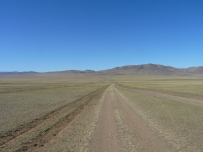
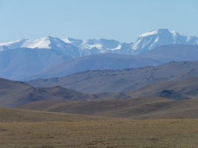
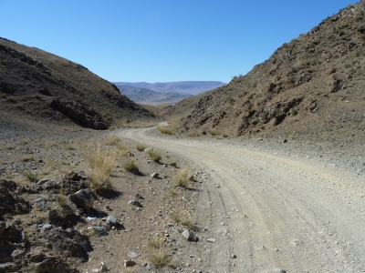
We passed a car coming up. The passengers were all walking.
Just a short rocky bit.
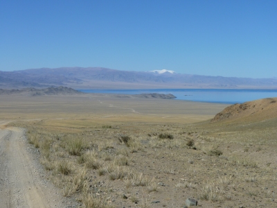
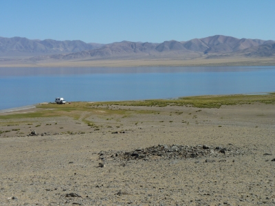
That inviting headland looks like it will have a nice campsite near.
There's a glimpse of a track through the binoculars.
Distances are a bit deceptive. It will take us nearly an hour to get there.
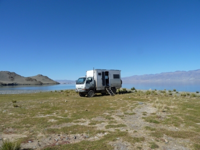
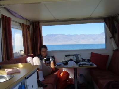
Sudoku of course.
And that weighty tome on the table is a bit of light reading for me - "Earth's Changing Surface" by Selby. Basic geomorphology. Unfortunately only the second time I've opened it in 5 months of travel.
I like to think it helps understand the landscape - for example, why there's a stony bottomed freshwater lake at 1400 m above sea level in a wide arid valley surrounded by relatively tall but not very steep mountains.
I'll do some more reading!
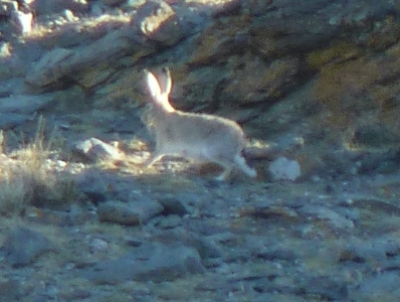
Ali had noticed a largish (dog sized) animal earlier. One with rounded ears.
Not the same. This time we surprised a rather large hare.
At least we think from its ears, face, and general shape its a hare.
We also snook a look at a guidebook that says we may see hares!
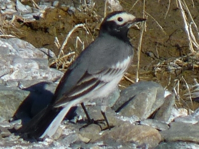
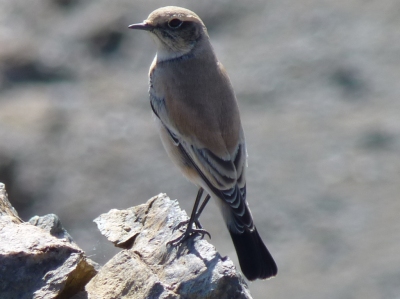
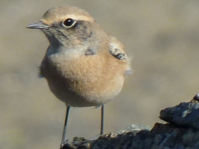
We have no internet or Mongolian bird book here so can't identify it.
There are a couple of bird types that spend a lot of time on rocks and on the ground near the lake.
There are also a lot of water birds that so far have stayed a bit far away for photography.
Nice through the binoculars though.
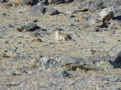
Its bigger than a marmot, has protruding, rounded, ears, legs it tucks underneath at times, and very little tail.
It could be just a big marmot. But. At first glance we thought it was a wombat. That's highly unlikely. Although it looked as though it walked like one.
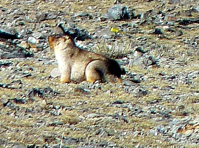
It also looks a lot fatter than the average marmot.
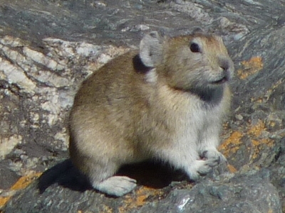
We think this is a baby one of the beast above.
"Obviously" destined to dig burrows with feet like that.
A different shape, and different gait, to the marmots.
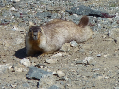
We really are a bit flummoxed but think we are looking at three different animals (hares, things and marmots).
All cleverly about the same colours and well camouflaged. We really only spot them when they move, but getting better.
And washed the door mat.
Also another walk.
In front is yet another khirigsuur. This one a mound of stones with square perimeter.
Somewhere in the middle of this I had a birthday. With seemingly a few too many things going wrong it did cause me to ponder whether I was too old for this sort of caper - but of course not ...
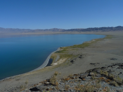
We aren't the first to camp here, and won't be the last, but right now we are the only.
We've been in places where silence reigns many times.
But its always nice and always very welcome. From the top of the hill there was only the occasional bird call to be heard.
In the afternoons a stiff (cold) breeze has arrived in most of our stops in Mongolia. This lake is no different. But for now, silence.
Inside the Tardis we finally identified the faint hum, we weren't used to, as coming from an external hard drive resonating on the table.
It was near the top of the hill.
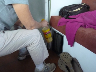
Its not really cold here (never below zero) but Ali is melting the cooking oil in front of one of our heater outlets.
We aren't sure about the Mongolian diesel, but its what the locals are using so is probably ok at this altitude and temperatures.
Just in case, we've been using one tank with the Mongolian diesel and kept the tank of Chinese "cold weather" diesel from Erenhot for those unforeseen circumstances. We drove about 20km on the Chinese tank full to make sure it works!
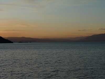
This is sunset, but by the next morning the sky was filled with high cloud moving from West to East.
Our lake seemed determined to show itself in several moods.
We did a bit more cleaning and washing, but generally called a "doss day".
When we think about it we haven't had one for 5 months. We've earned it.
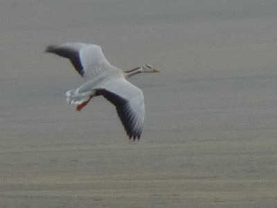
We've seen no sign of the white geese that had a similar flight path yesterday.
Perhaps a general sense that Mongolia is closing down for Winter.
We've had two and a half days at our lakeside retreat. We'll tackle the second pass, Ogotor Khamar Davaa, tomorrow. Its about 150 km to Tsagaannuur so we'll probably take two days.
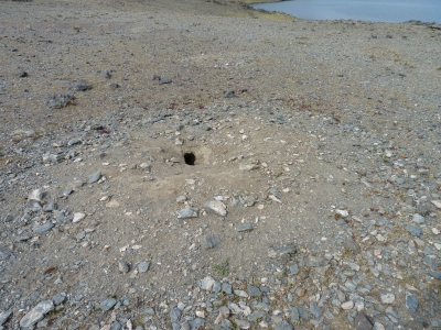
It was in the general direction we saw our "thing" running as we approached.
Its very much larger than the marmot holes we've seen.
Unfortunately, sitting on a rock, waiting for a hairy mammal to emerge from its hole, requires a degree of patience we apparently don't have.
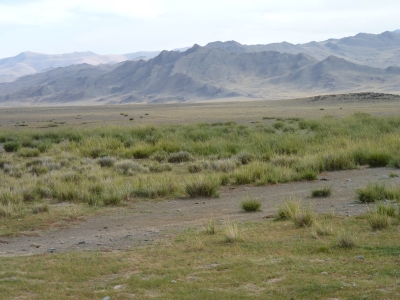
Or at least the lack of it.
Around the edge of the lake are grasses, and beyond that the scrubby brush that the animals seem to eat.
In the center of Mongolia we think we saw more grass.
We think the significance is that grass forms "sods" and grows from the bottom which which means it holds the soil together well and recovers relatively easily when eaten (or mown!)..
An absence of grass suggests that the soil can be eroded more easily. Perhaps part of the explanation for why a large part of the Gobi Desert and Tibetan Plateau now resides on the Loess Plateau of China.
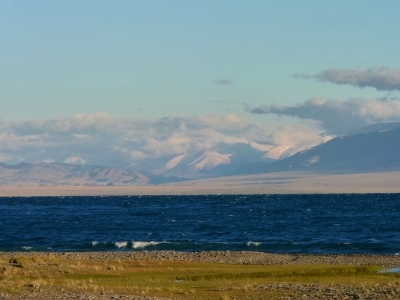
The wind had been steadily increasing to semingly gale force, the barometer was down to 845 mbar. In the days following its been as low as 750 mbar. We were side on to the wind, on high solid ground and had a good escape route, but were unsure how much the lake water would rise as the wind pushed it to our end.
After the move we are facing the wind. Much more comfortable for sleeping.
The cloud at the western end of the lake had seemed heavier. Now the cloud has cleared, though the wind is still with us this morning, we can see fresh snow on the mountains. There's also a light dusting on mountains to our south.
Most strange to us though. Not a hint of rain in the valley. The mountains must form a rain shadow.
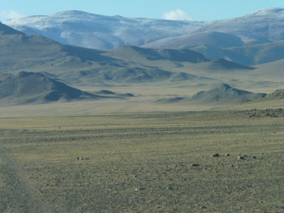
Surprisingly (to us) the wind was a bit warmer than it had been.
Still, time to move on.
We've seen a few vehicles passing in the last couple of days but that's about it for traffic.
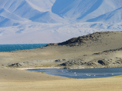
And they had a nice little refuge on the other side of our headland.
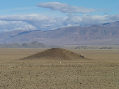
Armed with our assumed success at identifying khirigsuurs and deer stones we let our imaginations loose on this square pyramid.
Natural, of course!
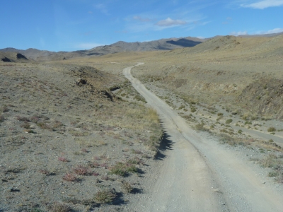
We could argue until the cows come home about the difference between a saddle and a pass.
Apart from the top being about 2,000 m this pass wasn't steep, narrow or difficult.
And the road surface was good. The result of a relatively slow running river.
For some reason we found ourselves singing the "battle hymn of the republic" while driving up here, just what our USB music stick happened to dish up! A bit bizarre really.
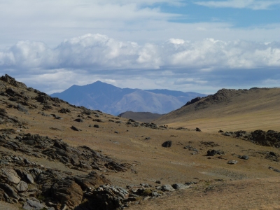
We figured the mountains in the distance had another pass which would be the entrance to Tsagaannuur.
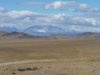
Once we get across this plain there's a descent then a very wide valley.
Tsagaannuur is behind it, but the route round looks reasonable.

There's a few river crossings on the map but we don't know how deep or wide.
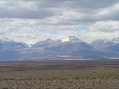
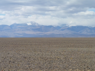
In the middle it is a broad gibber plain.
The stones are about 75mm and are like cobbles to drive on.
Add some corrugations and we are having a slow time. We will be sensitive about the welding for some time to come.
Either side of the gibber the route is a bit tortuous avoiding all sorts of bits of water.
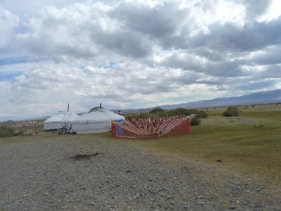
We didn't intend to drive past the gers. They were near a crossing of a braided river.
We were generally headed north and west. Just before the gers we found ourselves driving south on one of the islands.
The routes across the rivers and other patches of water were tortuous as there was some clay and mud which even the motorbikes avoided.
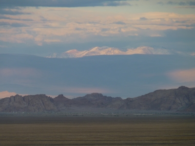
After a long day the welded sub-frame is still intact.
We've added a broken diesel tank strap to the list of breakages - would you believe one of the problems for a country with no fences is no fencing wire to fix tank straps with! But found some wire rope by the side of the track and that has worked.
We are camped about 25 km from Tsagaannuur. This is from our camp as the sun is setting looking east to the snow-capped Turgen Uul (3965m) and Kharkhiraa Uul (4037m) - different to Ikh Turgen Uul photographed earlier.
In the foreground are some unusual looking sandstone formations, a bit like tors. The town is Nogoonnuur.
We now have three days before crossing the border into Russia on the 15th. A date we had to set before we left Australia. About 60 km to the border.
We aren't sure what shopping there is in Tsagaannuur. According to the map there is fuel but we suspect very little else, its not mentioned in our guide books.

Surprisingly we escaped any rain or snow.
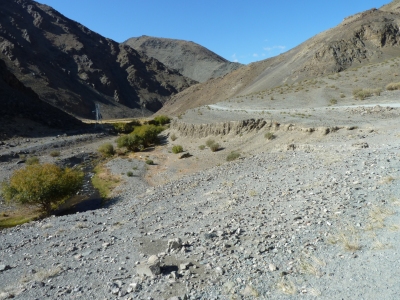
Not as narrow or steep as we thought from the map and satellite photos.
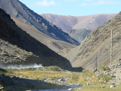
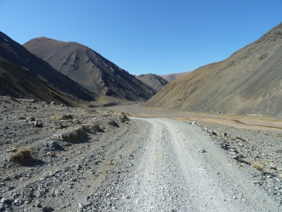
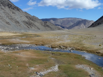
The river flows from a lake next to Tsugaannuur.
It finally dawns on us that this time there isn't a "down" in Mongolia to match the "up".
We are destined to spend the next few days, before entering Russia, at about 2000 m with temperatures approaching zero centigrade - and below.
Hopefully the heater works.
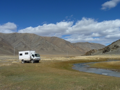
It looks sunny, and its beautiful, but there's a bitterly cold wind blowing.
Tardis is carefully parked so that the door and water filling are sheltered from the wind. Of course that makes it shady also. No pleasing some people.
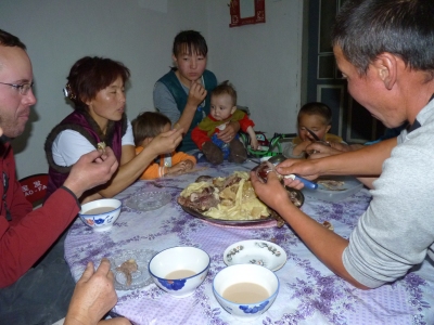
We accepted his invitation to camp outside his house and later drove to the shop.
Evening meal was horsemeat and pasta. The horsemeat was boiled for about 3 hours. The pasta was cooked in the water from the horsemeat. We later drank the soup. Very nice and welcome, though a bit fatty.
John, on the left, is an American motor cyclist traveling alone. Our host enticed him back to his house when we were at the shop.
Tsagaannuur is a strange looking place to us. We are outside but there is a heavy double fence surrounding a large military style compound. The shop was inside. Apparently inside there are "big people" asscoiated with the military and "little people". There are lots of ruined buildings both inside and outside. The best we can understand is that at some time there have been three Tsagaannuurs but we can't figure out how two were destroyed - maybe floods. Perhaps its odd because its very barren, with no trees.
An unfortunate incident at the shop. Soon over and forgotten. One of the locals looked like he was about to have a go at breaking our windscreen with a rock, stopped by our host. Similar had happened to one of the German group we met in China with unfortunately more success.
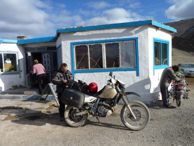
His battery seemed well charged, but didn't crank the engine for long.
A push start.
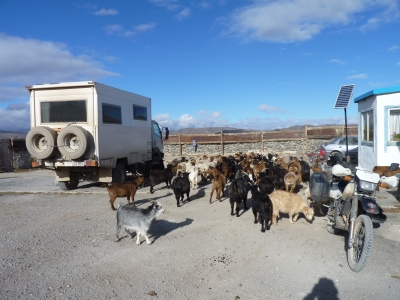
The goats had just had their periodic injection and were a bit restless.
And the good news is that tightening a few hose clips had the heater and cooker working in zero degrees C.
We are having a lazy day. Hopefully things will also work tomorrow - off to closer to the border.