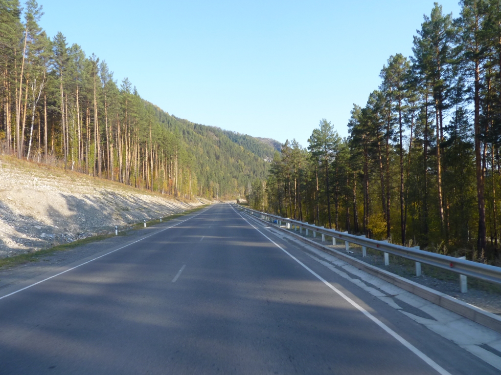
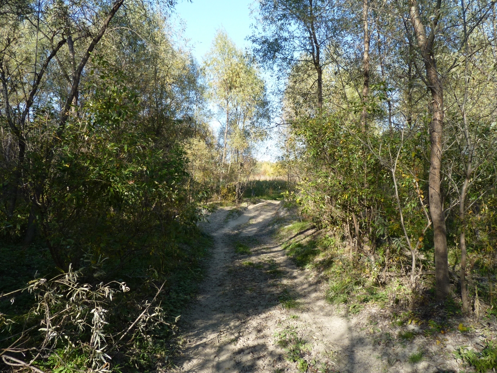
We are emerging from the Altai Mountains after 5 days and more than 500 km.
I haven't a clue really but I suspect there aren't many places one could say that.
We've always liked mountains, and feel a bit sad that we'll have to wait until the Urals for the next lot.
Somewhere soon it will join the Ob and head North. We'll follow it part way round a loop then head west. Into flat land we suspect.
Things are beginning to be recognisable to us.
We did a bit of shopping and aquired a sim card for the mobile phone in Gorno.
Ran out of internet very quickly (what can one expect for $6) and topped it up at a machine like an atm, with a little bit of help. Unfortunately, lots of phone credit but internet didn't return.
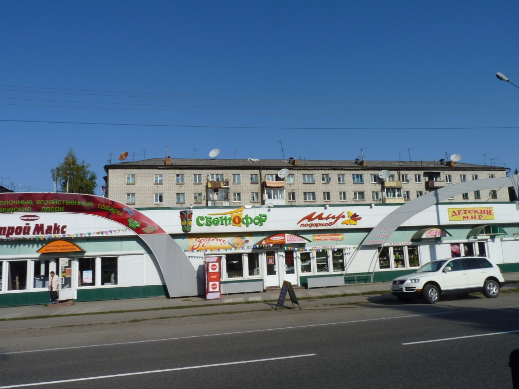
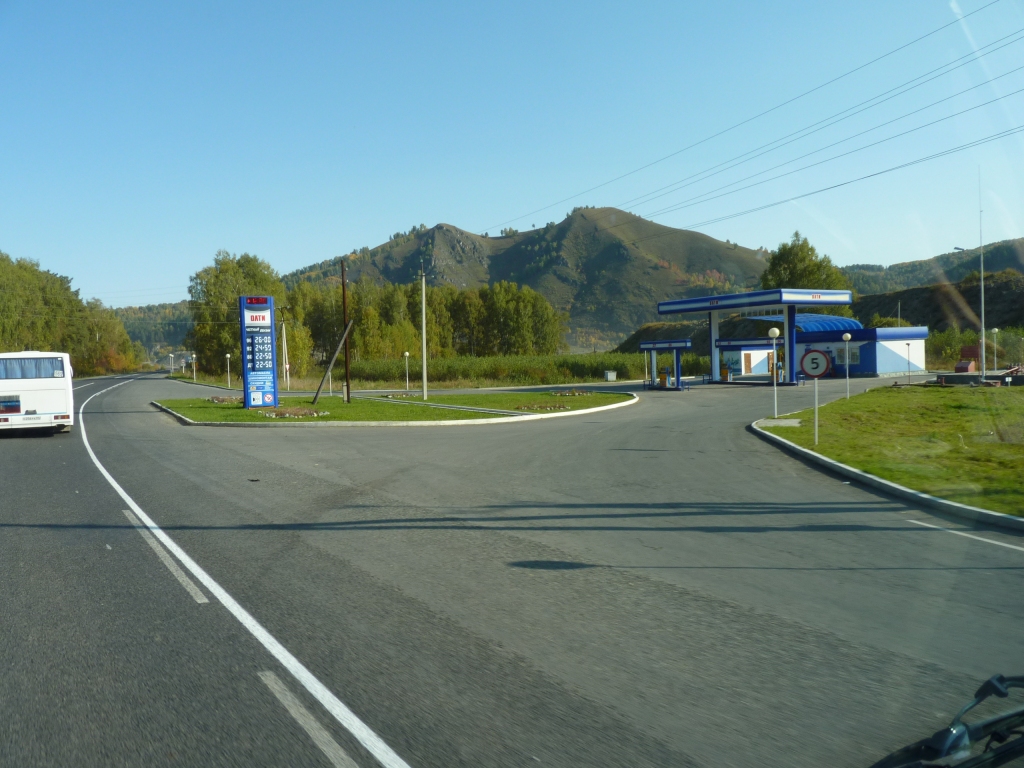
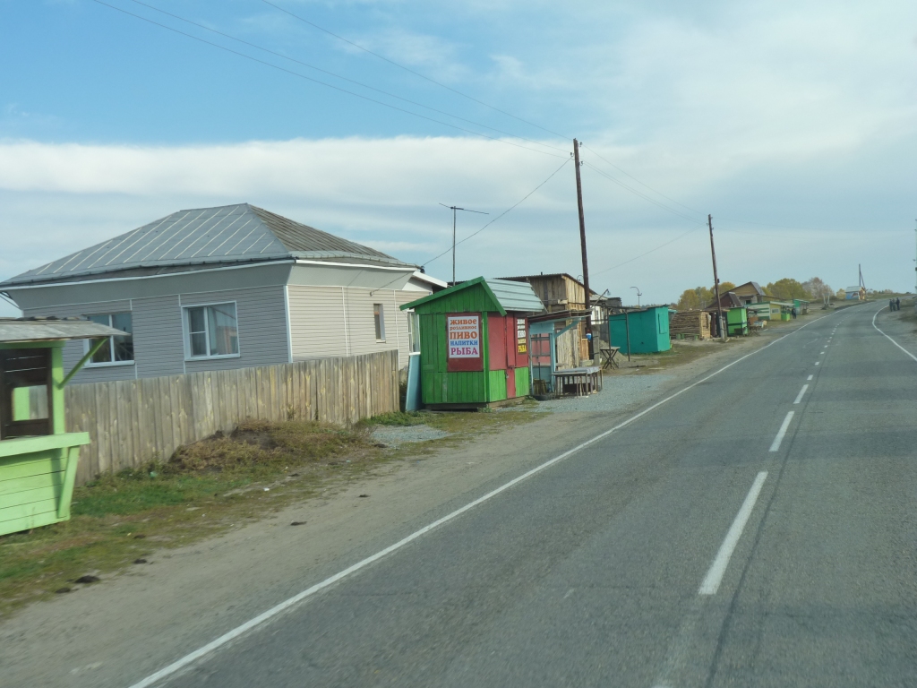
Shops that look like .... well .... shops.
Although the same can't be said for immigration offices.
We needed to register our visas so we headed to the address we had for the federal immigration office.
Nothing there, so we headed to a hotel which directed us to the post office, who directed us to the police station, who took us to another office, who gave us the proper address of the immigration office. Thumbs down to the guide for the first wrong address! Its on the top floor of number 109 not 95.
At immigration they weren't too sure, but phoned someone and handed me the phone. English at last. An in bound travel agent that is authorised to register visas. They would meet us at the immigration office in thirty minutes. After asking what areas we wanted authorisation for we agreed it was best to register it just once for the whole trip. All for just R700 (about A$25 for two). Not sure how it all works but who am I to argue.
We feel we are bumbling our way through the Russian visa bureaucracy (the extra steps of letter of invitation and registration with a level of detail we simply don't have) but are happy we now have pieces of paper with a couple of official looking stamps. If nothing else it helps our peace of mind.
We are also getting used to Russians who help if they can in a very matter of fact sort of way. Neither overly friendly nor unfriendly - though usually a smile when things work out.
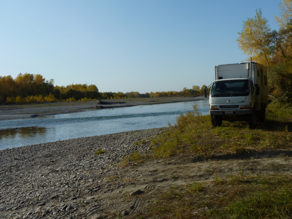
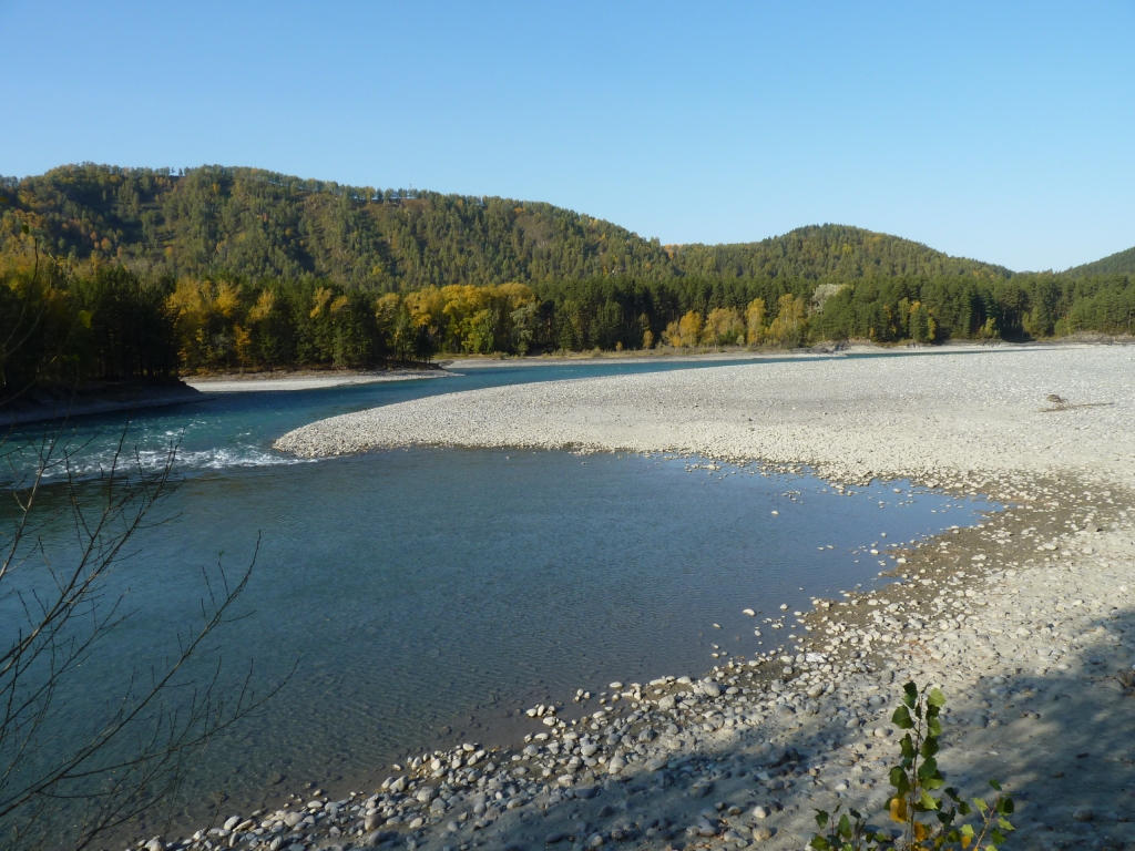
Just one of the braided streams.
Keeping our eye on how far we have to travel in Russia we'll probably have a longish day (more than 400km) tomorrow to catch up a bit. That will hopefully take us past Novosibirsk. Population one million and of only passing interest to us.
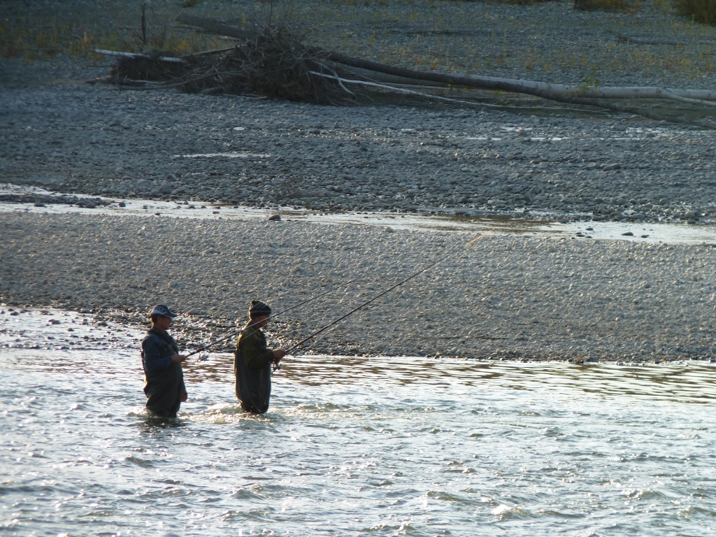
Floats and lures again. Just on the edge of the turbulence.
They were less interested in us than we were in them.
Our altitude is about 250m above sea level. Temperature nice and comfortable just below 30 degrees C - until the sun goes down that is. 16 degrees C at 7am.
Heaps warmer than we expected at this time of year. We are really expecting the weather to become very cold very quickly some time very soon. Its well into Autumn on the calendar. Every cloudless day is a bonus.
The river is just a tad cool for swimming.
From here it flattens out into rolling black soil plains with wetlands and wide rivers for about 2,300 km then rises again to the Urals. We plan to drive that in four days.
The distance includes a bit of a detour towards Omsk to avoid Kazakhstan - not because we don't like it, just the logisitcs of visas.
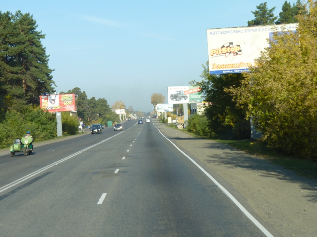
As we approached Biysk we were reminded, by the advertising hoardings, that there's another world waiting for us.
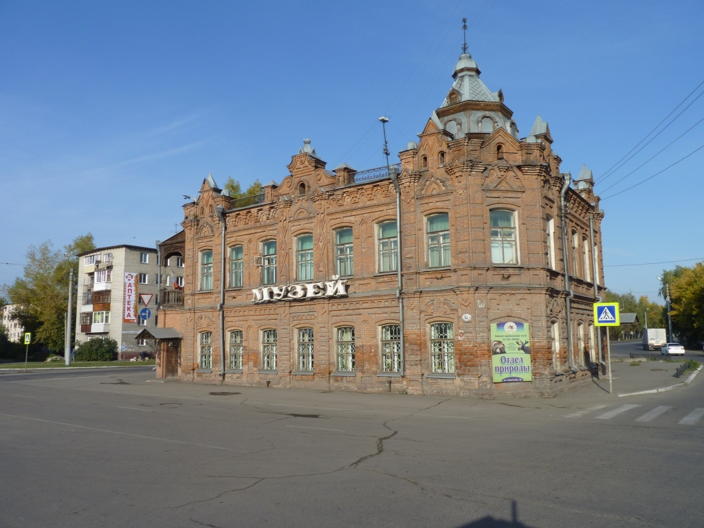
A museum of what we are uncertain. We were past before we realised.
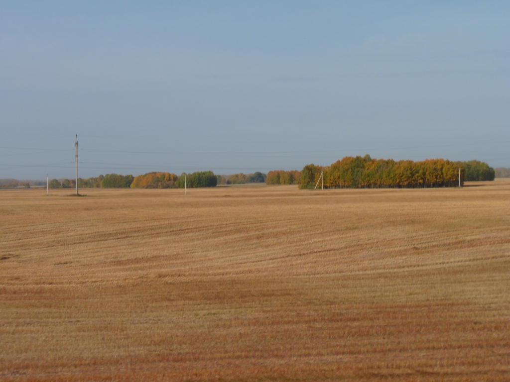
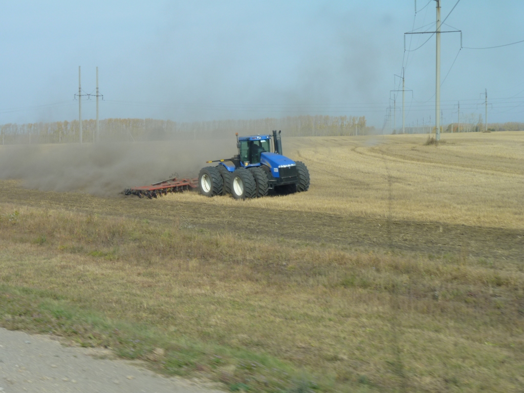
There are no fences. Just large areas of wheat with islands of trees.
This area has been harvested.
We liked it before it was painted but they carried on anyway.
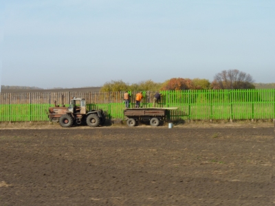
There were a lot tractors like the one seen here, and very few with the little front wheels.
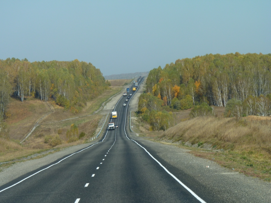
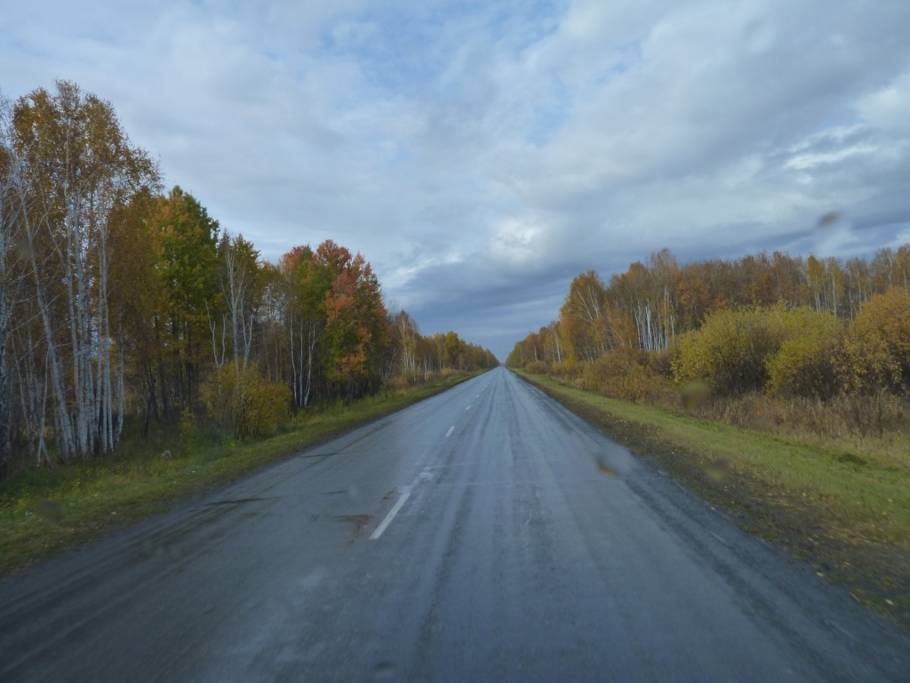
White lines that we can see had become a luxury.
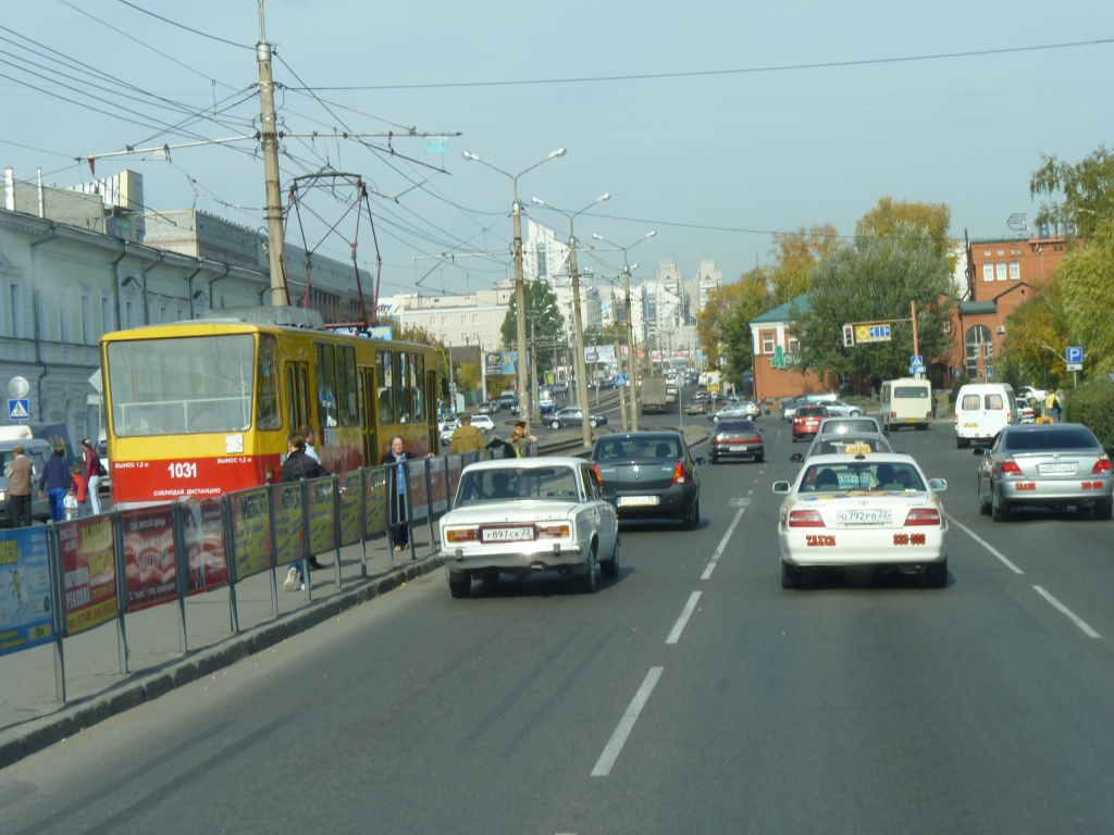
That's an electric tram on the left.
Remember to look for trams and also that tram line crossings can be a bit rough!
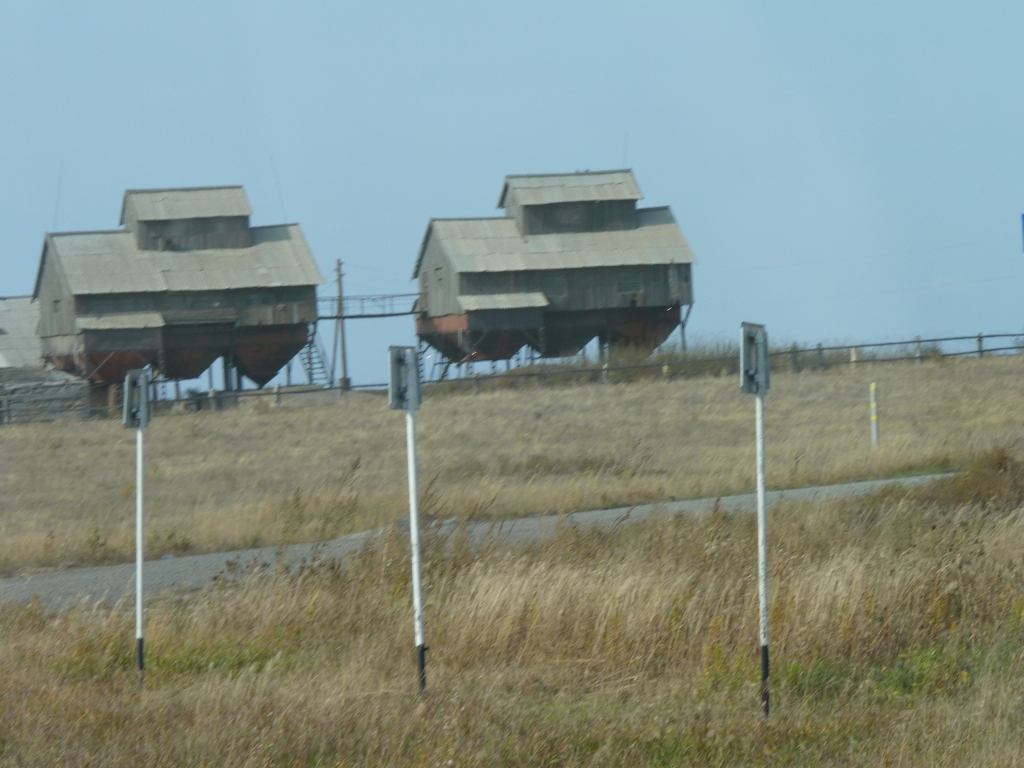
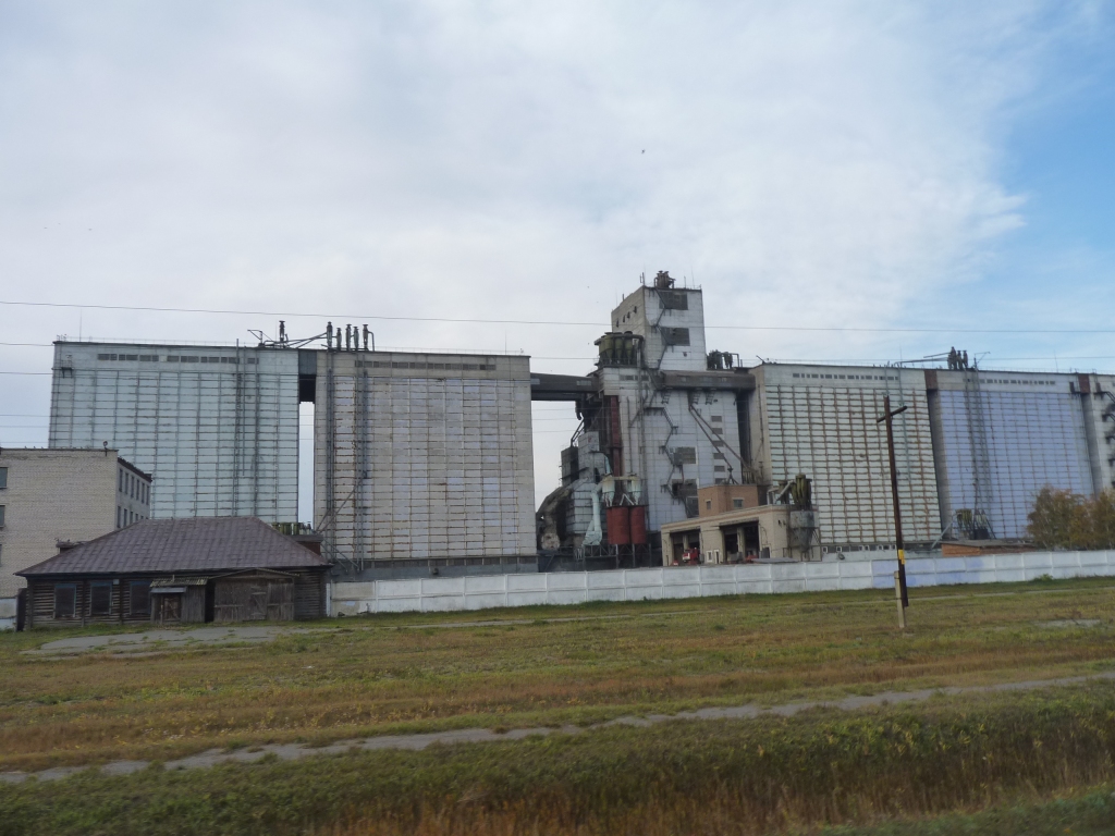
We did see quite a few of these rather strange looking (to us) silos but they aren't on a large enough scale.
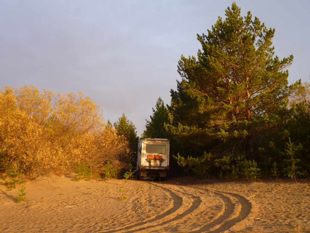
A small patch of sand .
There was a bit of rain in the air so it suited us to think about being stuck in sand rather than thick, sticky, black soil mud.
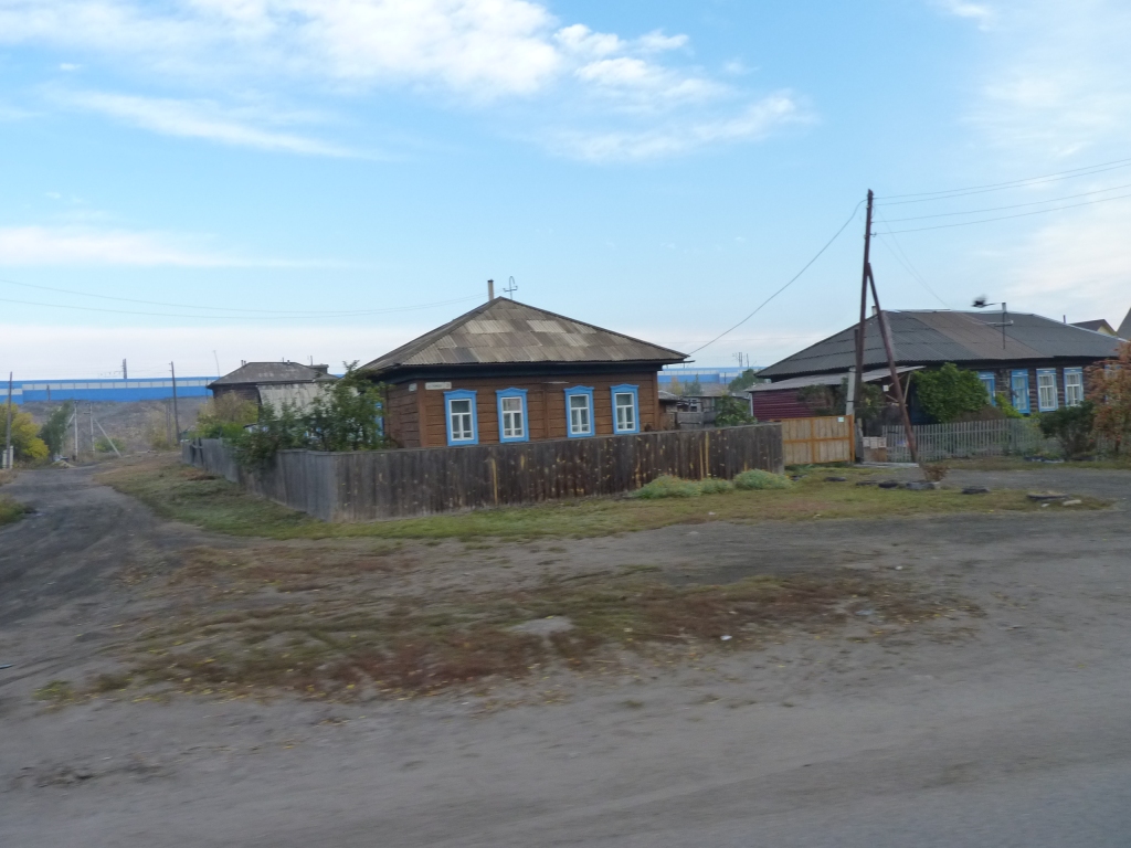
Gently sloping roofs so perhaps not too much snow around.
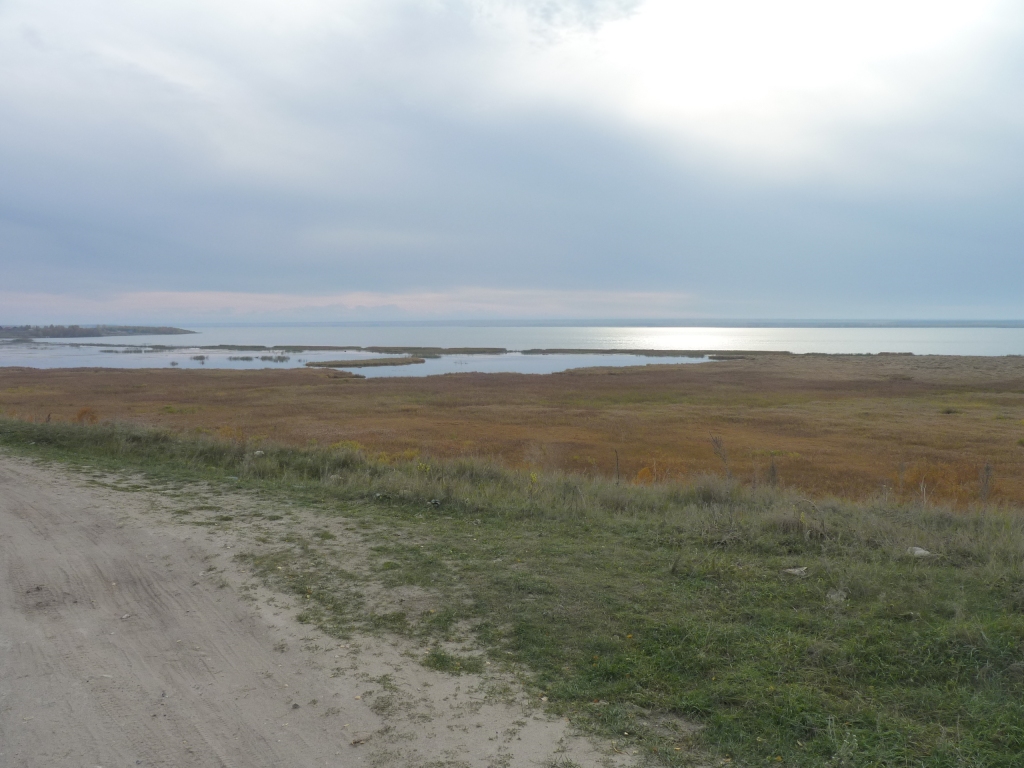
The town is on the River Ob. It forms a very large loop.
Instead of heading towards Novosibirsk, population 1.5 million, on the main road, from Barnaul we'd decided to follow the south bank of the Ob to Kamen-Na-Obi then head north west to meet the main road again.
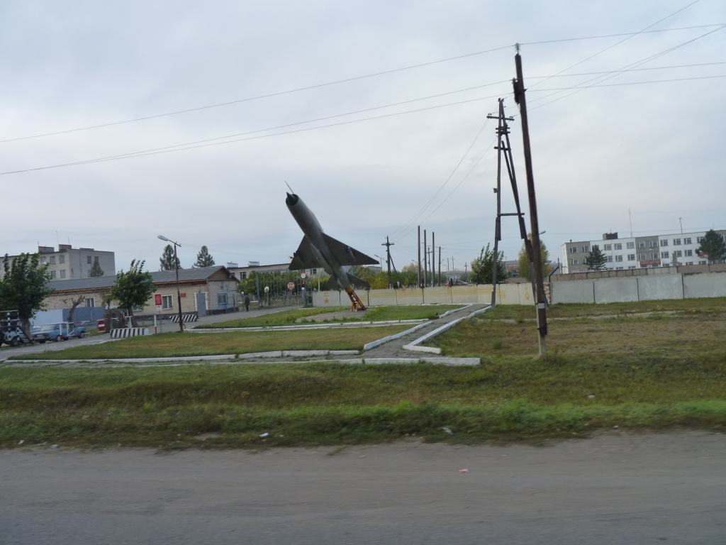
We think there has been a bit of space related activity in the area.
Our gps was proving a bit of a disappointment away from main roads. The minor road we'd driven on was marked about 2-3 km from where we were driving. Navigating through Kamen with it proved impossible. We asked directions.
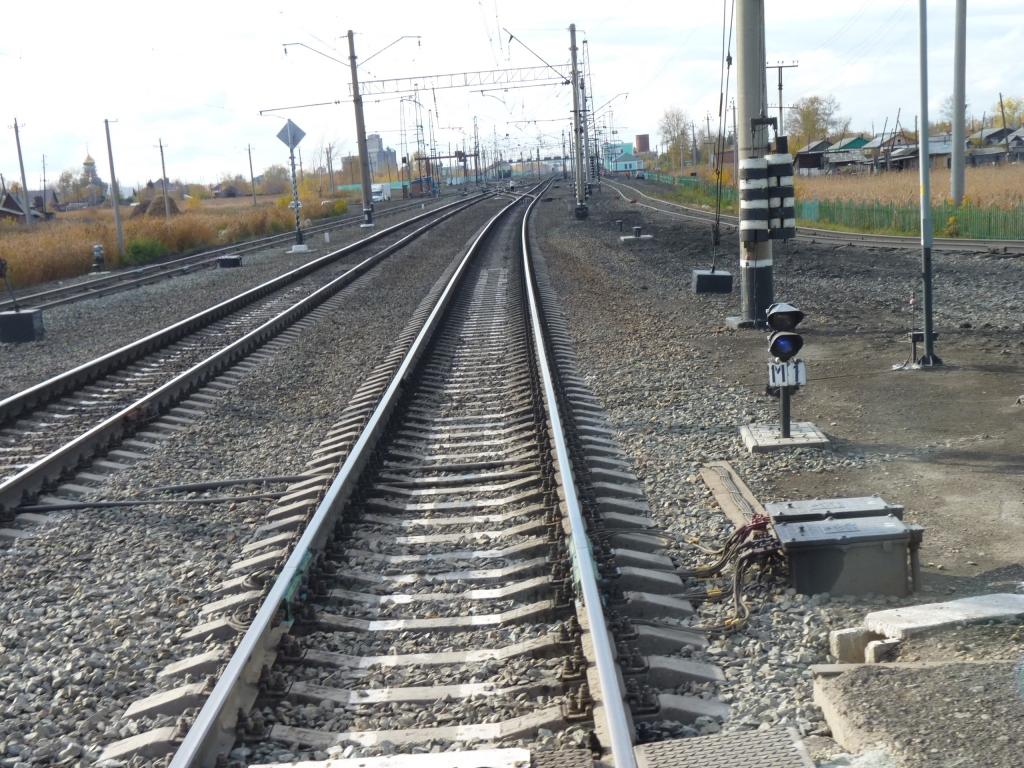
There is a serious looking rail line across the Ob and through the town.
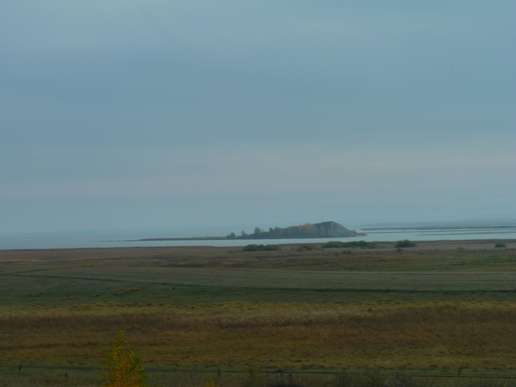
From the map there is an area with lots of islands to the east of us. Here it is just wide.

We imagine it looks something like this.
There is some rolling to the hills, and some river banks to the rivers. But to us its predominantly flat.
Not really like this, there'd be some contours. But a bit like trying to draw the contours for sand dunes in Aus. The cartographers simply give up and leave most of them off.
We did once meet a road sign for a downhill stretch. A 55% gradient. We've gone from not knowing 5th gear existed in Mongolia to being in 5th for more than an hour at a time.
Not our favourite food (we prefer kippers) so we kept moving.
Our gps kept trying to take us onto small roads that looked a bit like muddy forestry tracks to us and were not at all inviting.
We stayed with our major gravel road until we found a reasonable looking road towards Kargat.
For a large part of a 100 km straight road it was heavily potholed and broken up.
A very long tiring day to cover only 343 km.
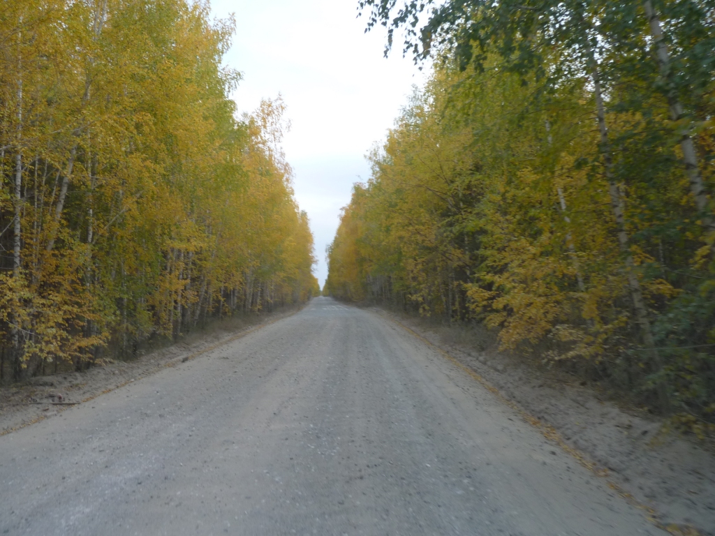
Constantly changing landscape and vegetation to keep our interest thoough.
Our gps let us down again. From the supermarket we had a rather tortuous dog-leg to drive around to cross the rail line to the main road (M51). GPS thought the streets were 1500m from where we were driving on them.
Concrete sleepers and fish plate joins (not welded), again. Just like China.
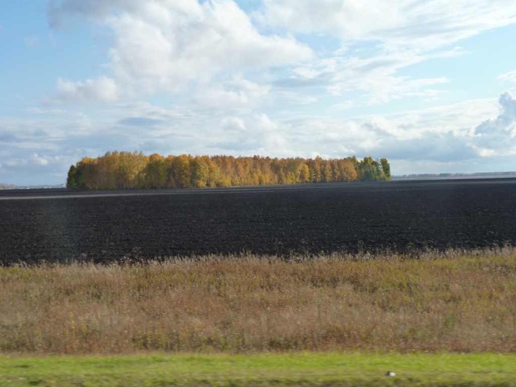
It really is black.
I thought I'd read something about it in the geomorphology book. Now I'm beginning to wonder how a geomorphology book can be written without really mentioning soil formation.
My limited understanding is that the black soil is incredibly rich. Lots of humus and clay. Ideal for agriculture but heavy to work. Also very deep.
It was raining and I was a bit nervous about the soil getting soggy and turning to mud.
There's quite a bit of vegetation under us and across the wheel marks. We are pointed at the road. Fortunately its been dry for a while, the rain is light, and the forecast for very little.
We escaped ok the next morning.