We decided to head north.
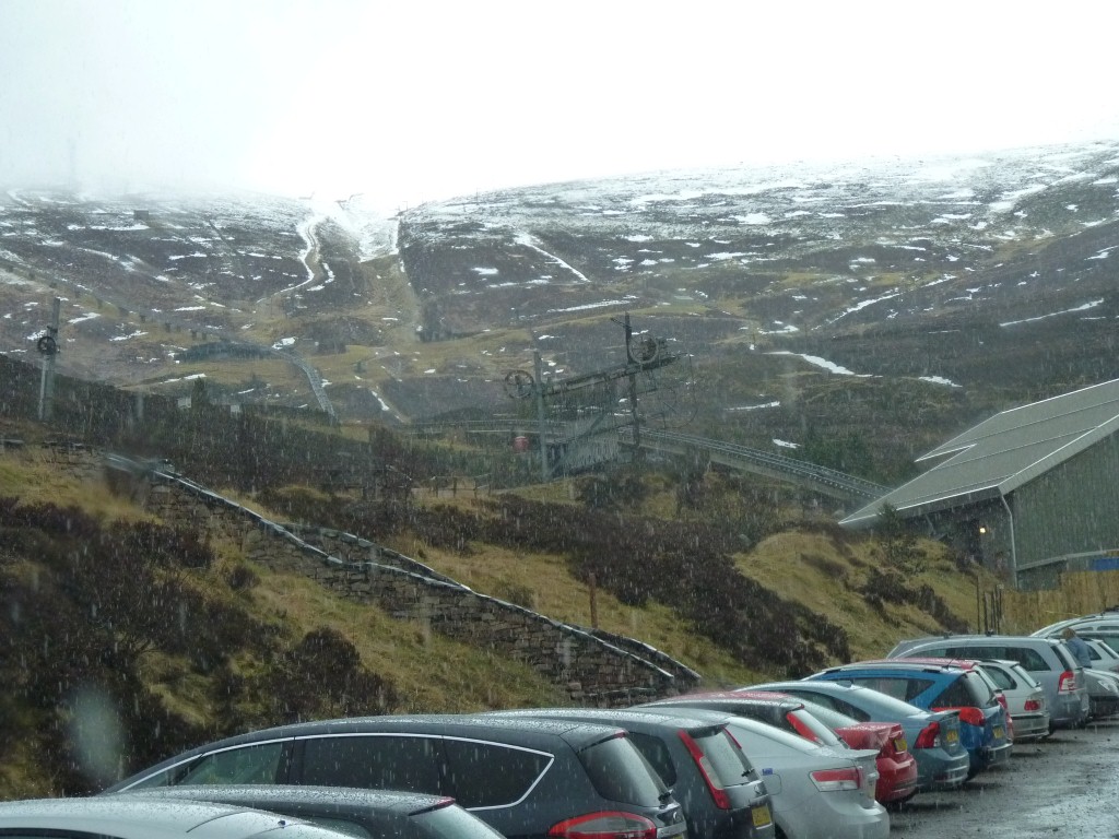
Away from the weather, and all the tourists we'd suddenly met.
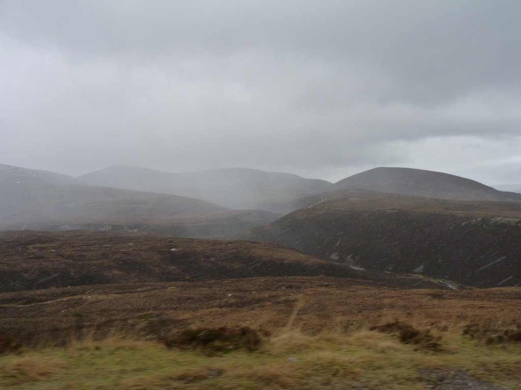
Then onward, further north.
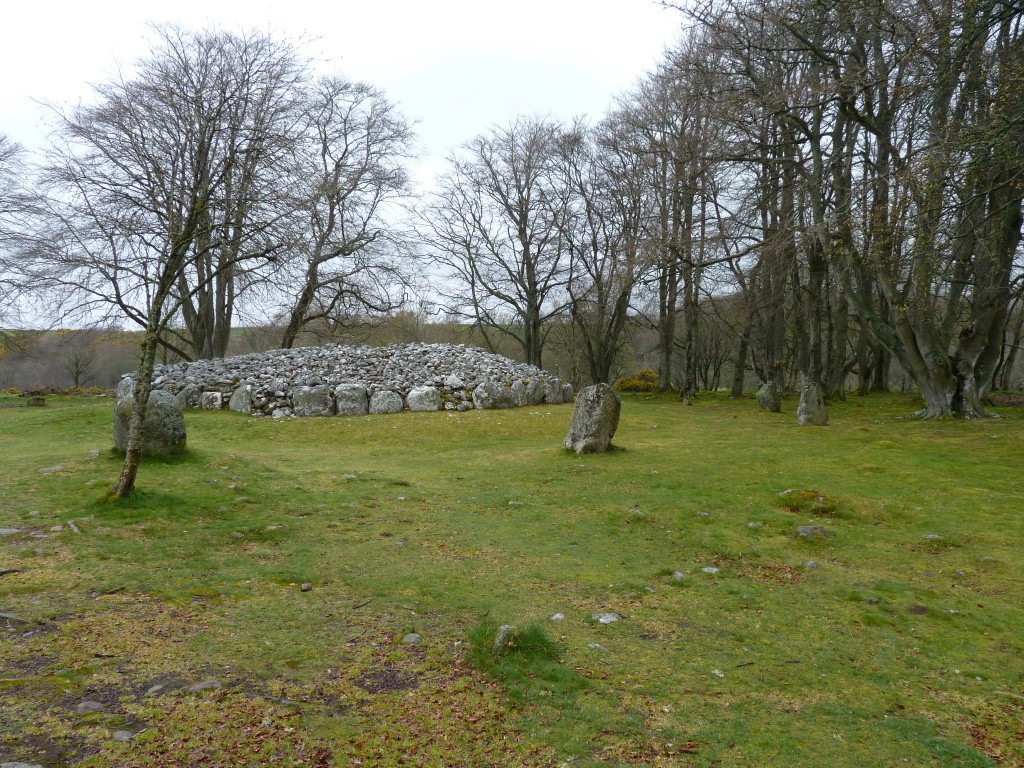
We saw the signs to Culloden, scene of the battle, but, since we'd been there previously and hadn't seen any bodies, old swords, or other memorabilia of battle, we decided to have a look at some Clava Cairns where at least there are piles of stones..
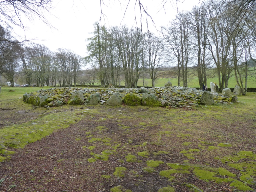
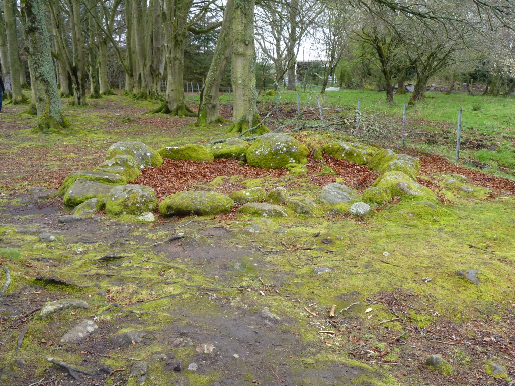
This is Balnuaran of Clava. The cairns that gave similar Clava Cairns the name.
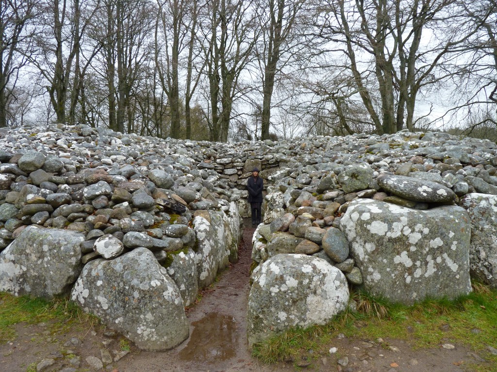
Self explanatory really. Originally it would have a roof of big stones.
All started about 4,000 years ago in the bronze age.
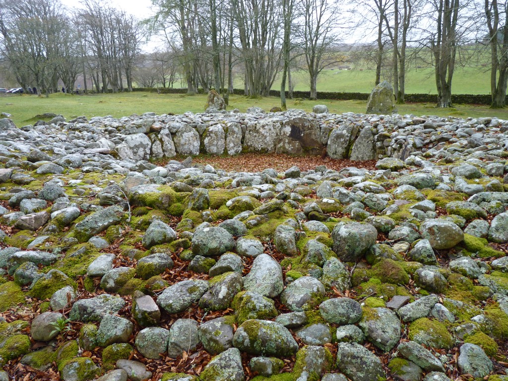
The left edge is a bit lower than the right which may (or may not) have been significant for the builders.
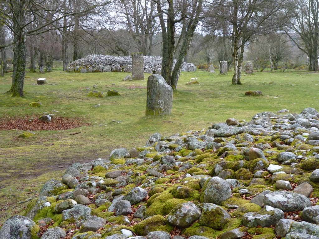
Only 3,000 years old.
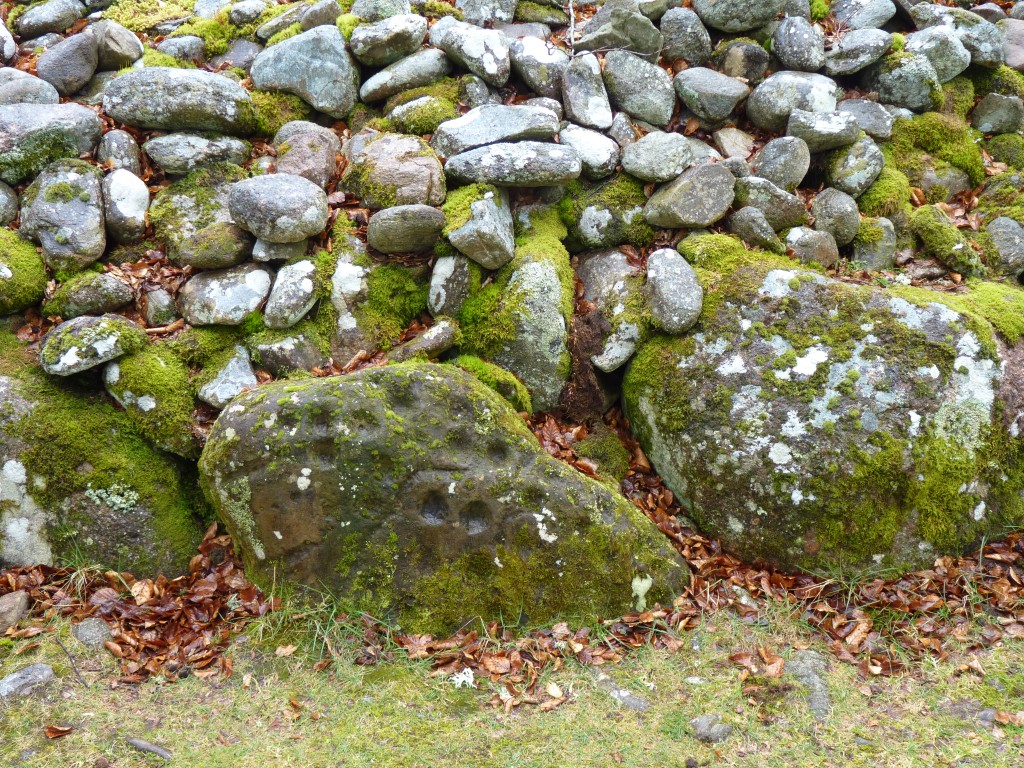
A distinctive part of all the cairns is the use of different coloured stone.
Rather than being laid at random the reds, whites and pinks are seemingly laid in a pattern. If there was ever a meaning though its been long lost.
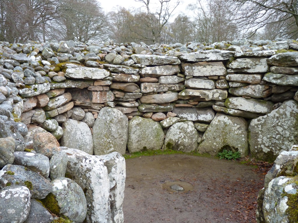
The passages are aligned to the summer solstice.
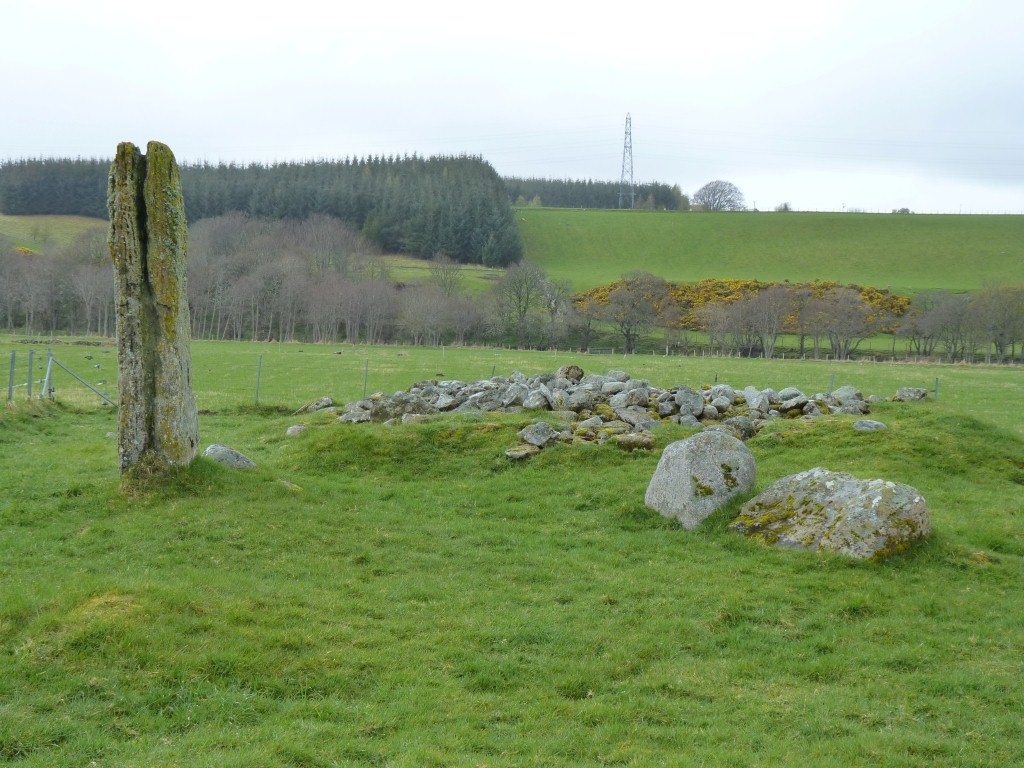
Just 10 minutes walk west along the road. Not as well preserved, another passage grave.
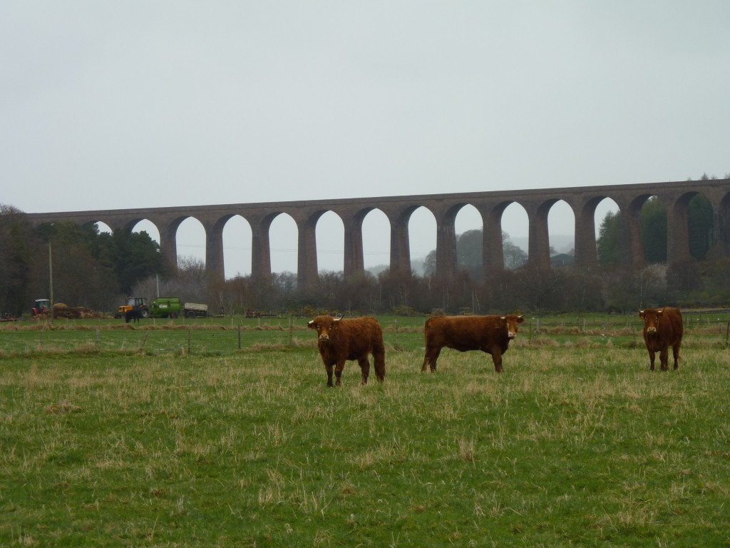
Probably as large, and with as interesting history, as the Ribblehead viaduct.
But ..... unlike the Ribblehead viaduct where every 4th pillar is wider, the Nairn viaduct looks uniform (allowing for a bit of parallax in the photo)..
Maybe Scottish railway engineers know something the English ones don't ..... or vice versa. Its also part of the east coast network whereas Ribblehead is part of the west coast lines.
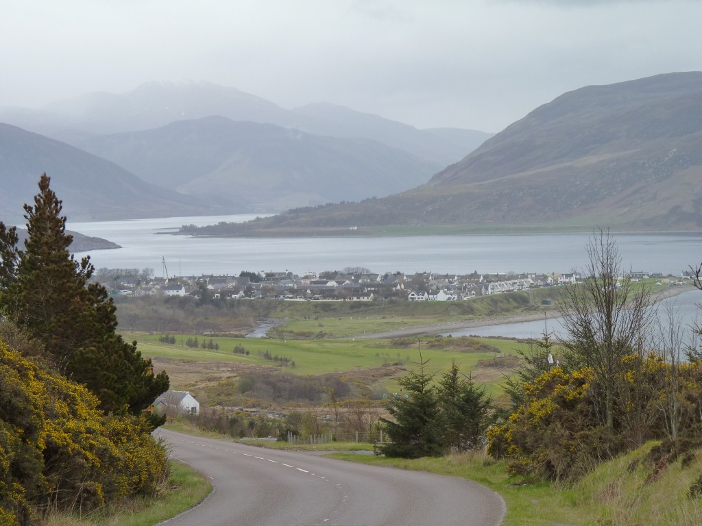
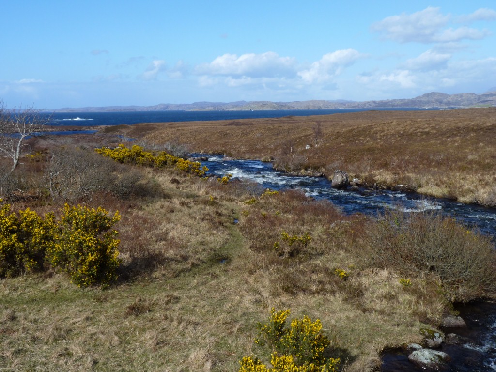
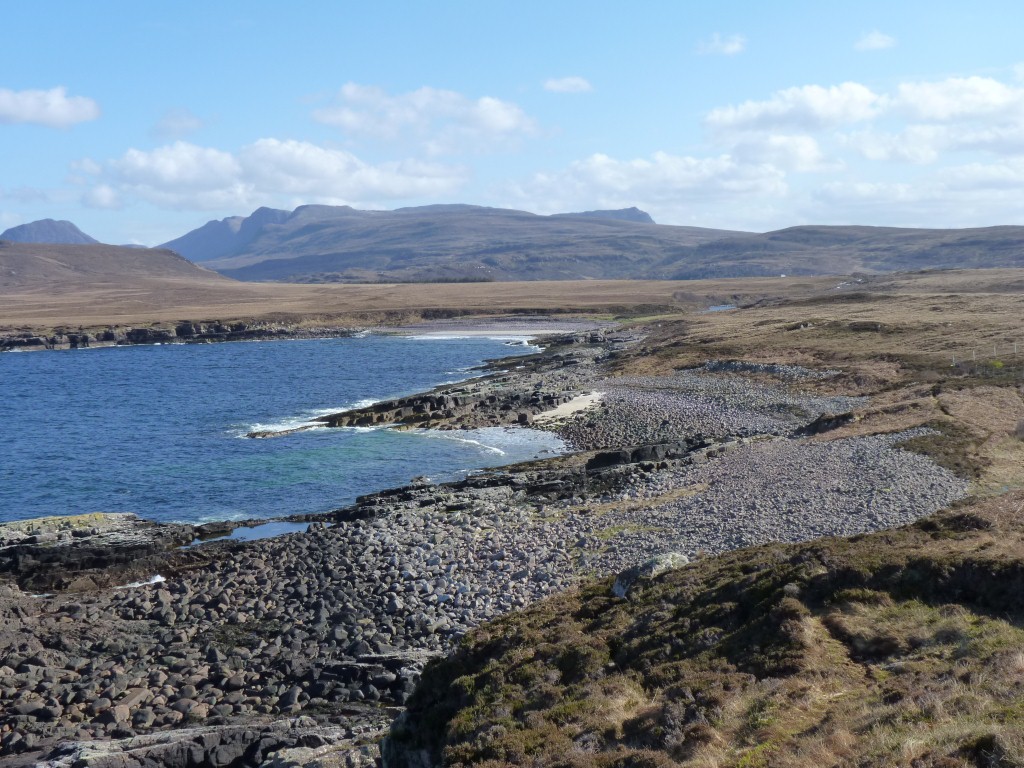
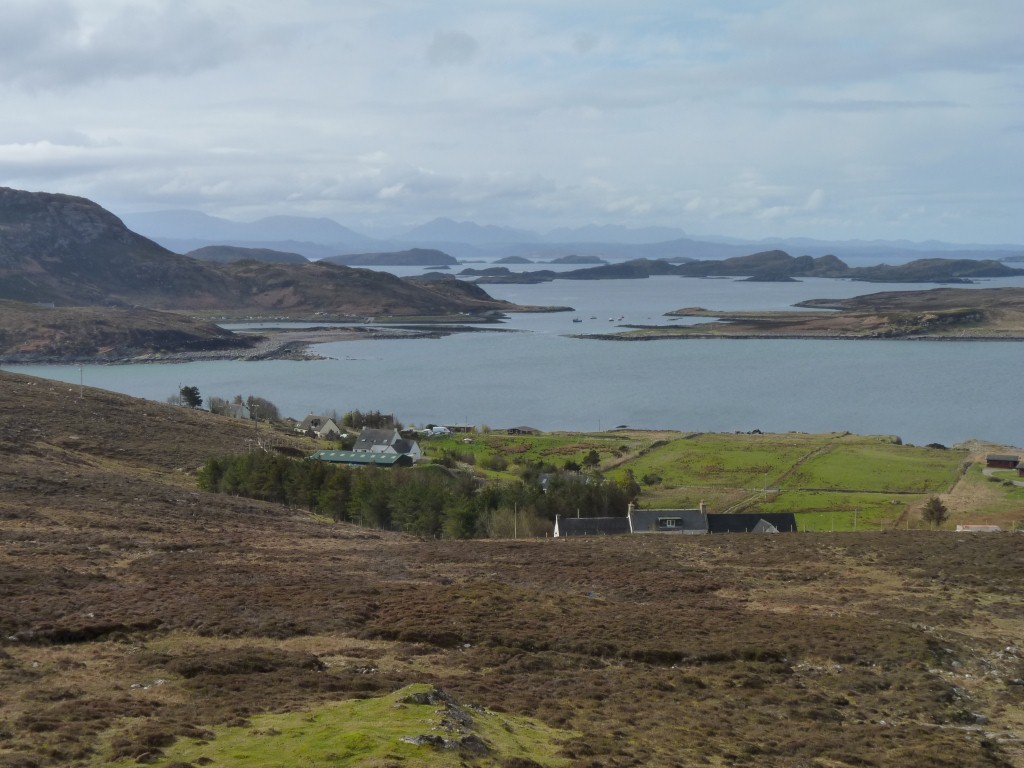
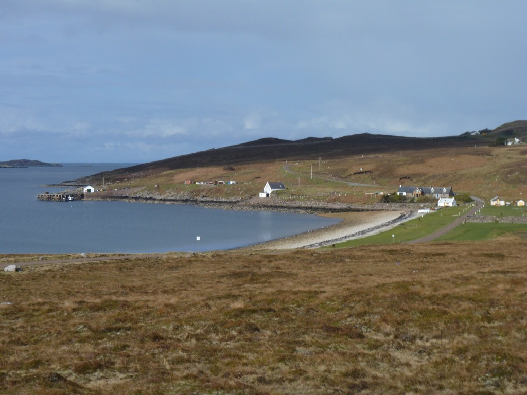
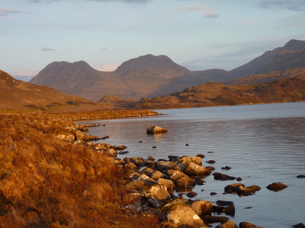
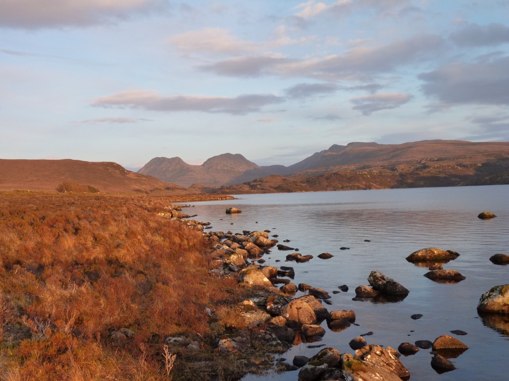
We are somewhere just about between the lowlands and the highlands. And only one road in front of us!
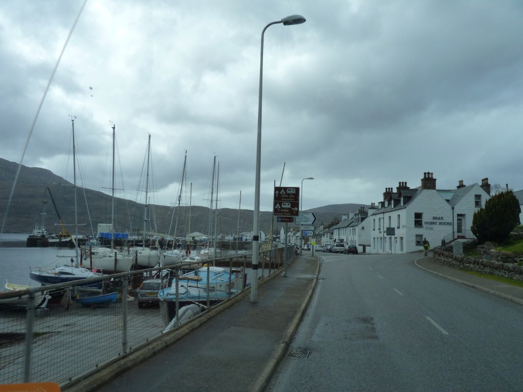
Past Ullapool.
Frequent passing places are well signed and everyone waves.
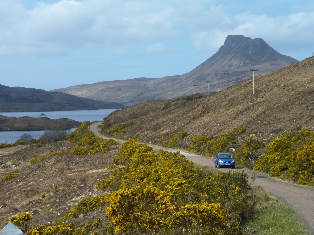
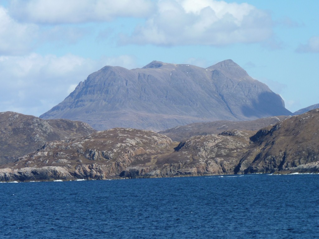
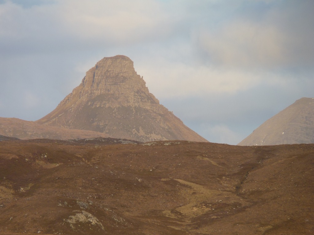
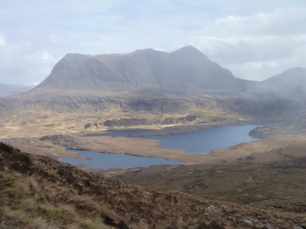
Stac Pollaidh in the distance.
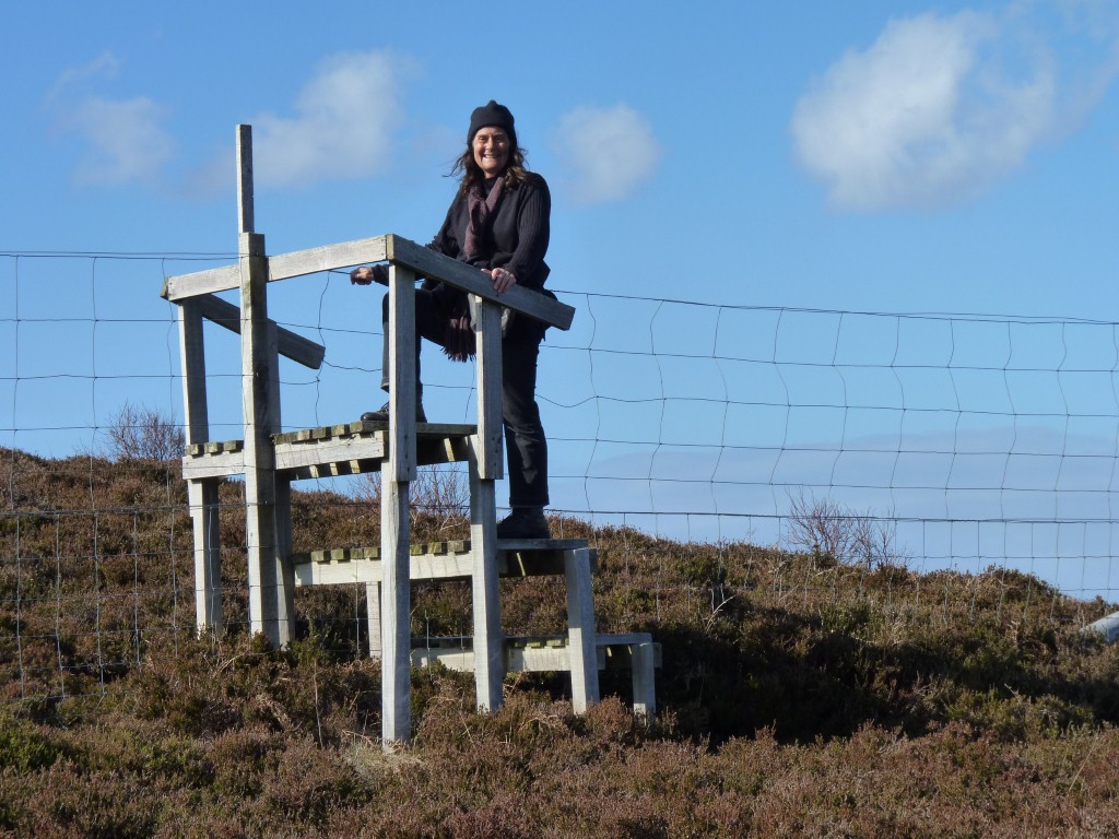
A stile befitting of a deer fence.
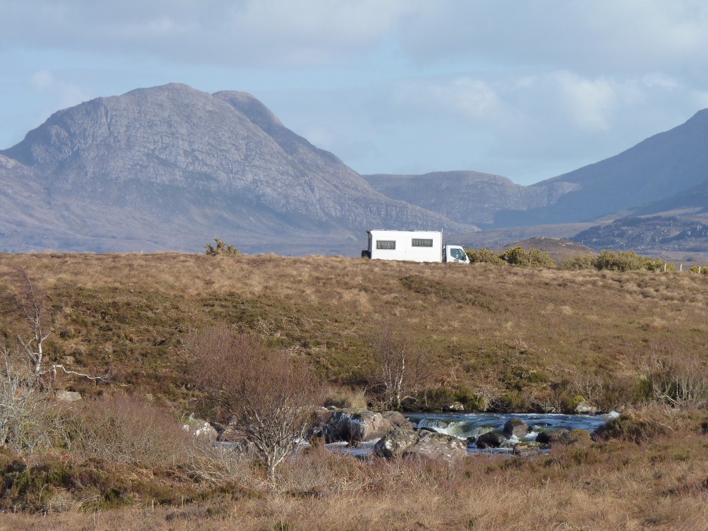
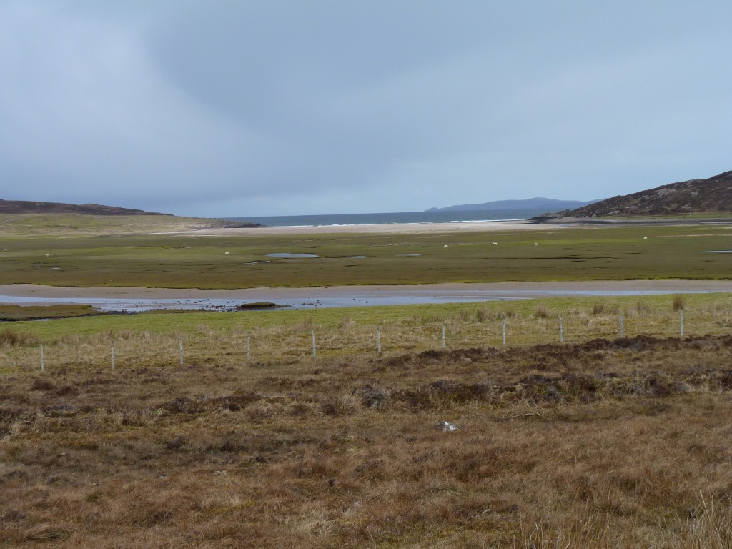
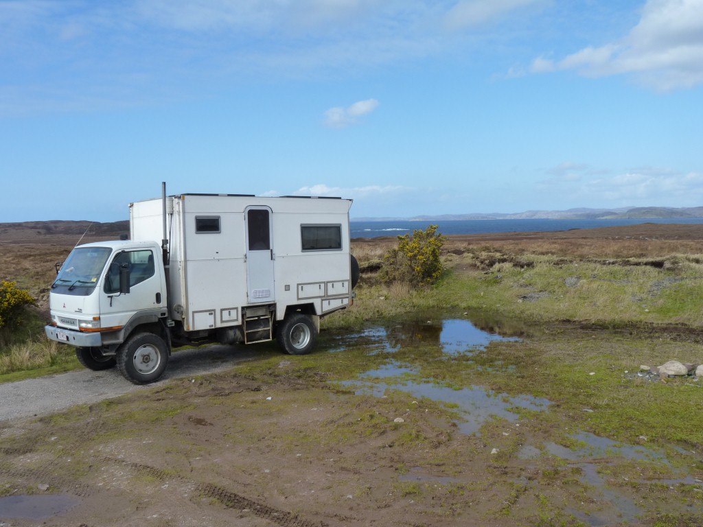
But there are enough spots for us!
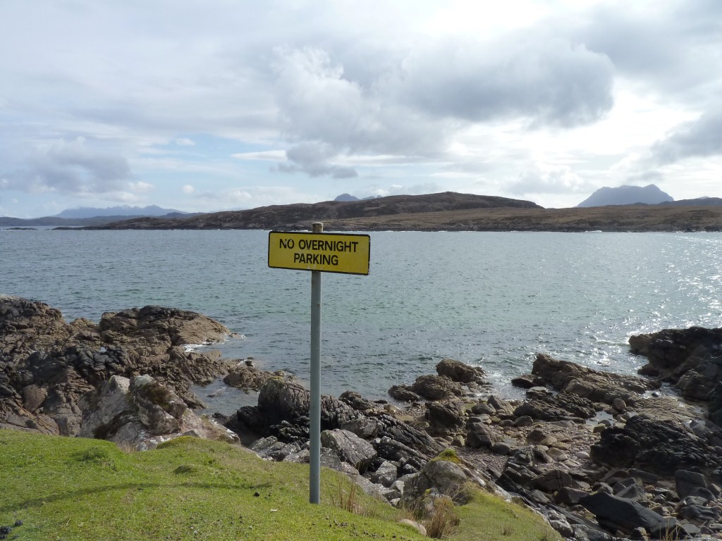
There were no no camping signs here, but we would have felt uncomfortable near the houses.
Doesn't everyone?
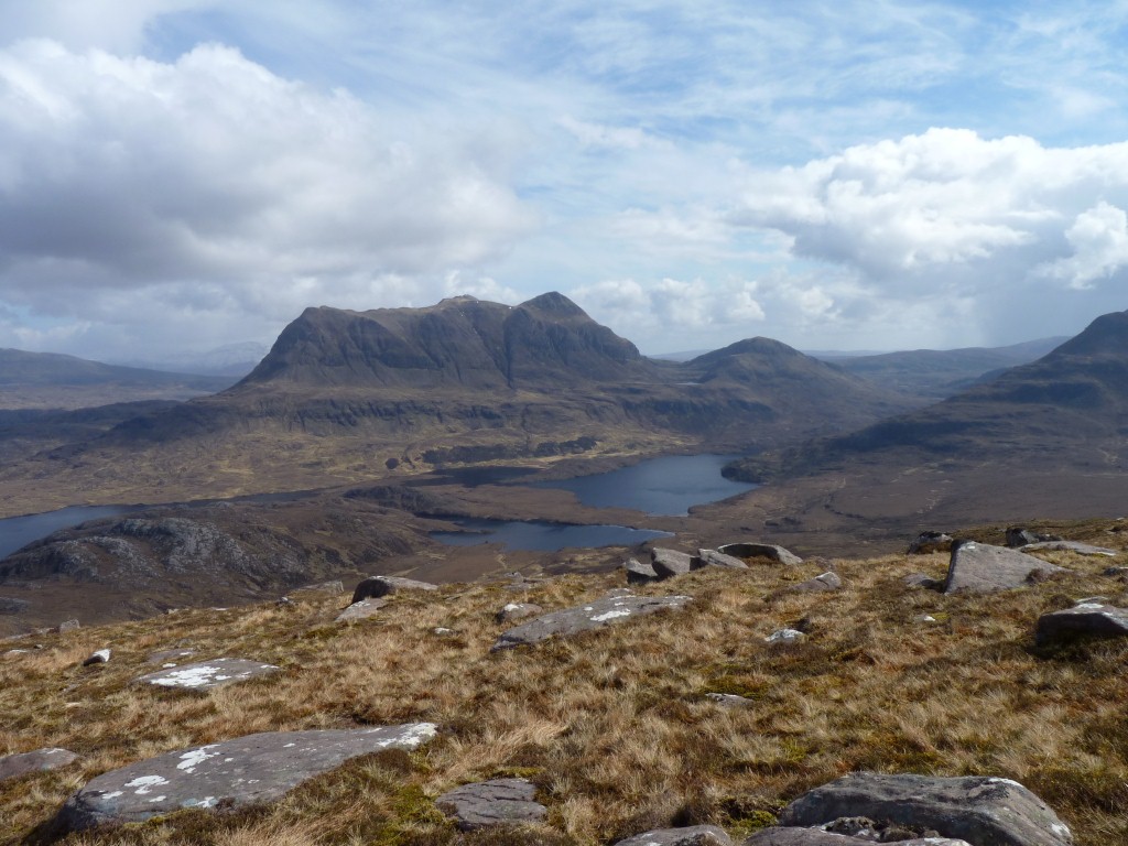
This is the view from half way up.
Not difficult, there's a well graded path all the way round it.
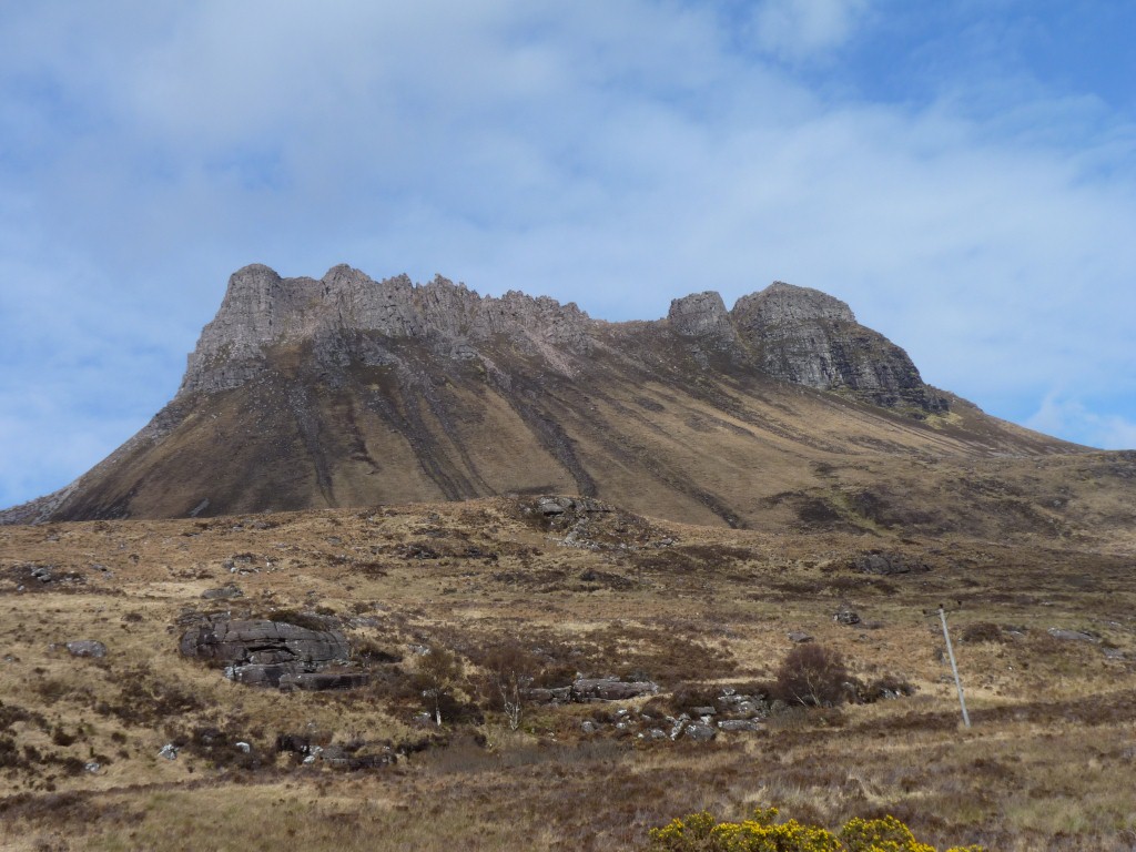
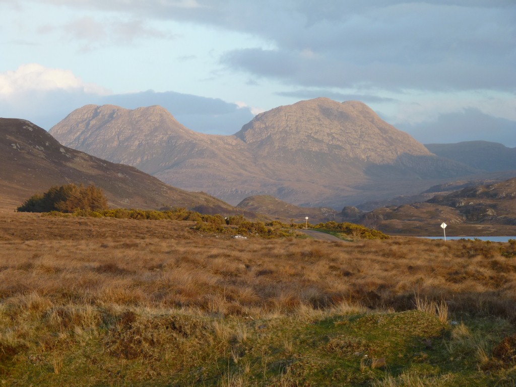
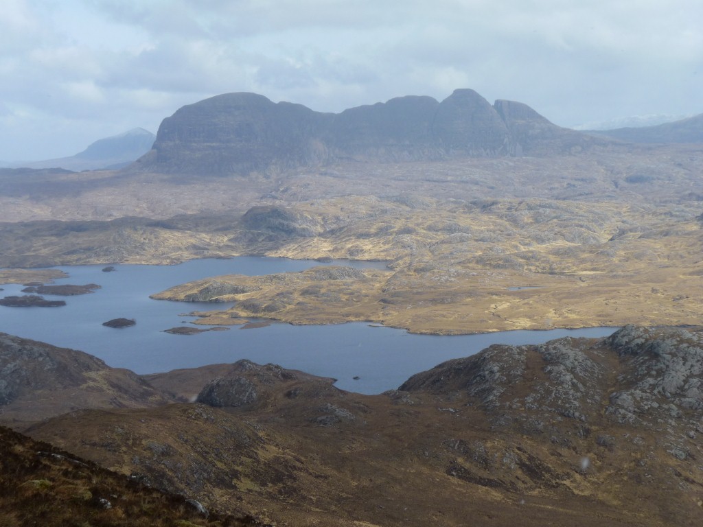
The mountains in this area are inselbergs. Sort of stand alone monoliths rather than massifs split by valleys. Very distinctive.
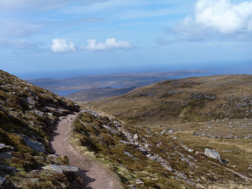
It snowed a little bit on us, and a lot on the next mountain over. Then cleared just as magically.
All we could ask for.