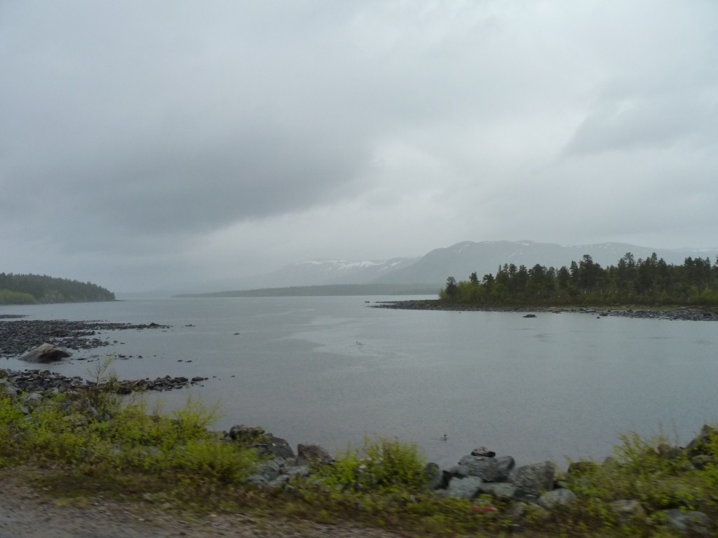
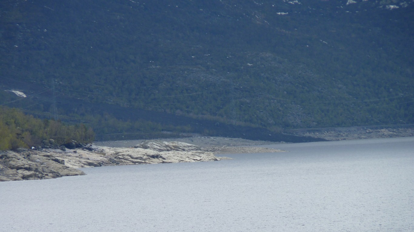
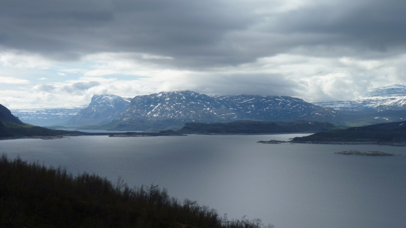
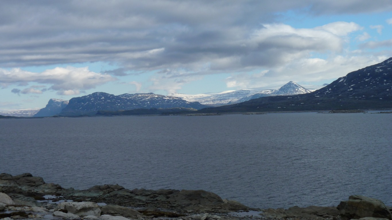
The Lule River has about 15 dams along its length which have modified the flow of water a bit.
We are guessing that whatever liquid that fell in the winter is still melting and filling the dams so there's not a lot of flow.
We've also noticed diversions.
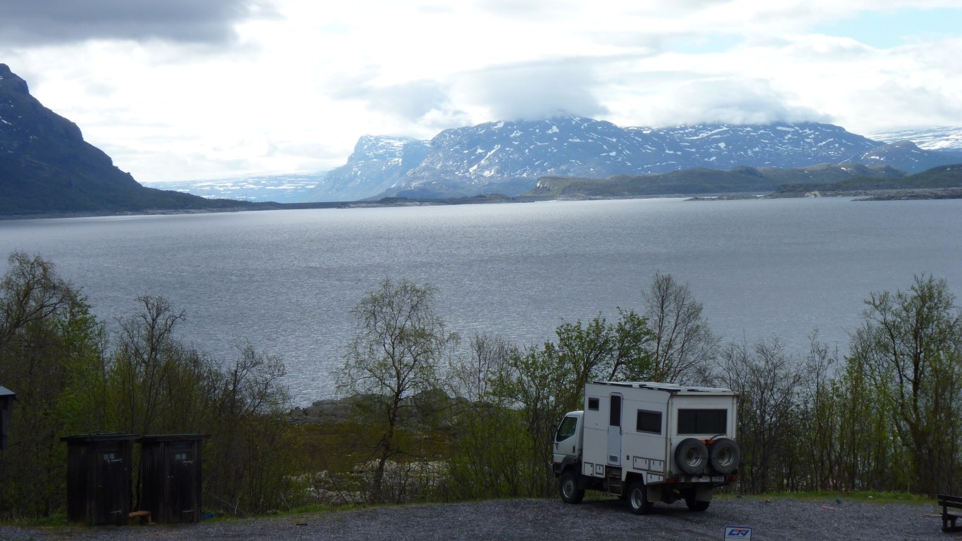
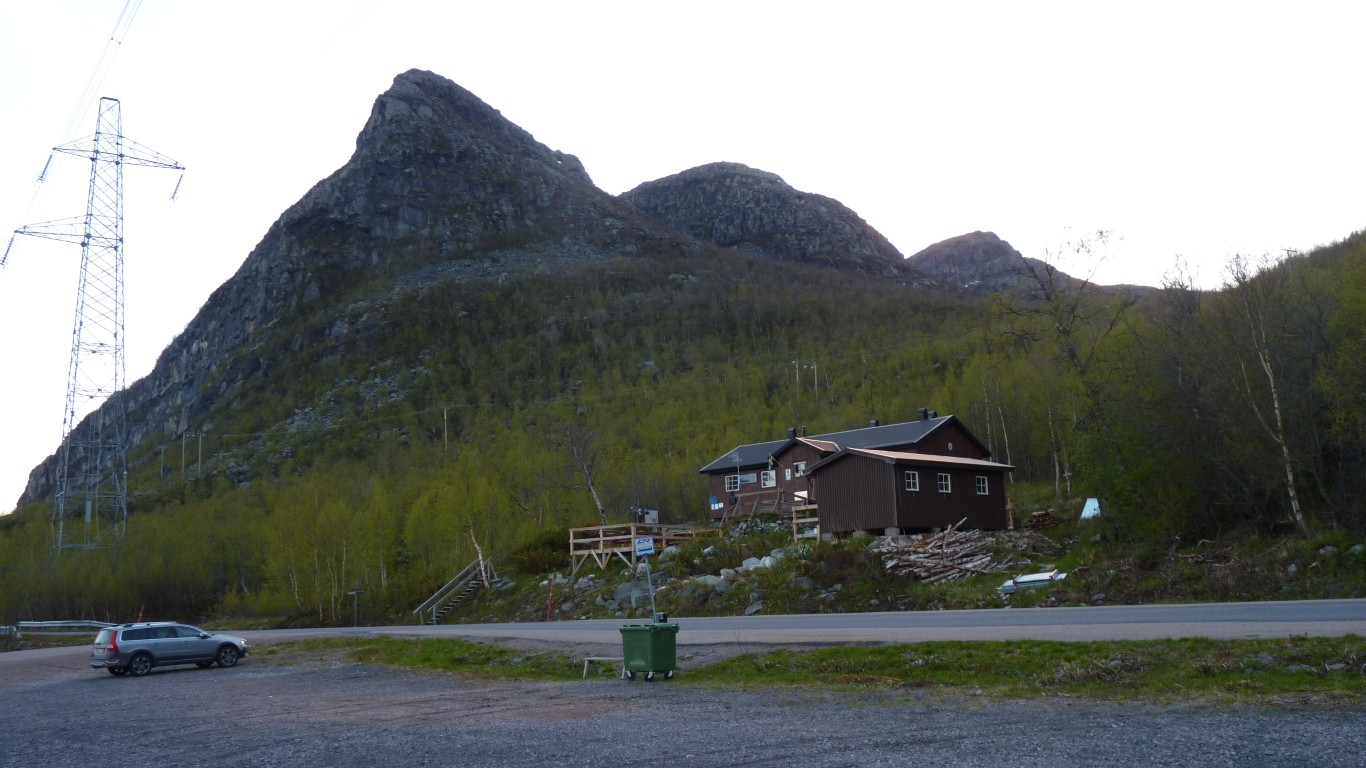
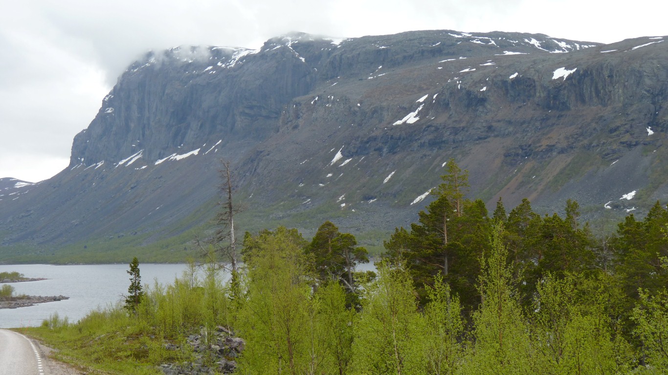
We are on the road north of Porjus before we turn west towards Stora Sjofallet National Park.
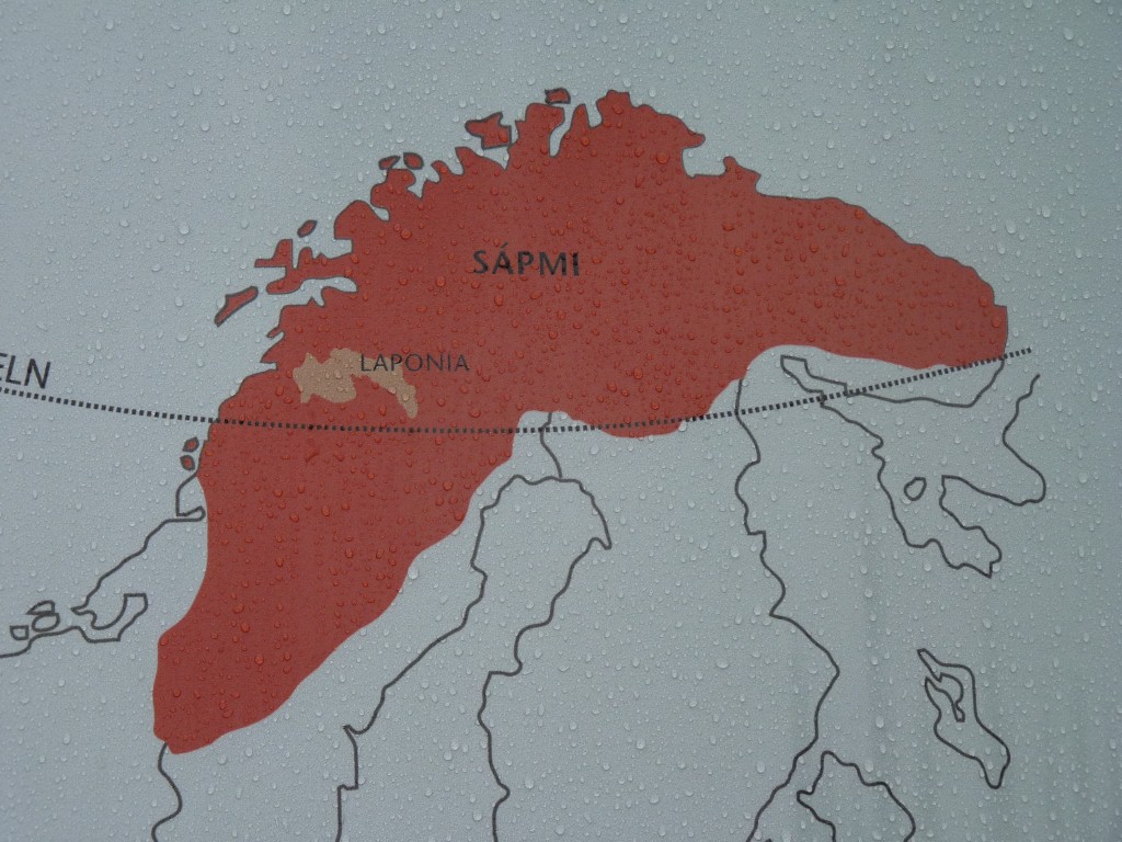
Sapmi is the land of the indigineous Saami. Across parts of Norway, Sweden, Finland and Russia.
Nomadic. Originally fishing and hunting then reindeer herding from about 5th century.
In the 17th century the then government encouraged settlement of the northern areas of the country.
"Usual" story of indigenous people, their lands and settlement.
What we saw as rectangular has been described as oval.
The round "teepees" that we saw called lavvu elsewhere have here been called goahte.
There are comments that usage of the goahte floor areas were well defined, but no reference to how.
There are about 60,000 Saami remaining. 17,000 in Sweden., of whom 2,500 are reindeer keepers. There's been a Saami Parliament since 1993.
The original religion was Shamanism and despite the introduction of Christianity with the settlers we hear that sacrificial sites still have significance.
There were forest herders and mountain herders. Summer and winter pastures were/are forest and forest or mountain and forest.
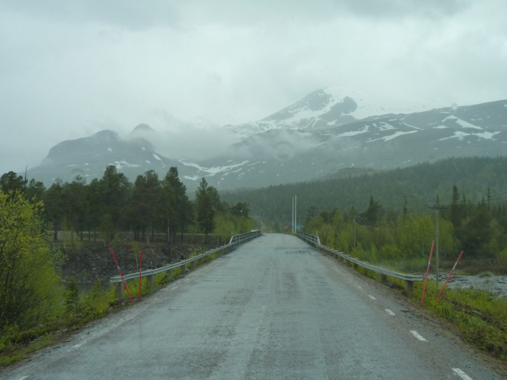
We'd planned a rest day but figured we'd be better off watching the rain while driving than sitting.
I suppose that the only real difference is whether we can see them or not. A sort of inverse of Schrodinger's Cat. No uncertainty for the mountains at all. Just for the observer.
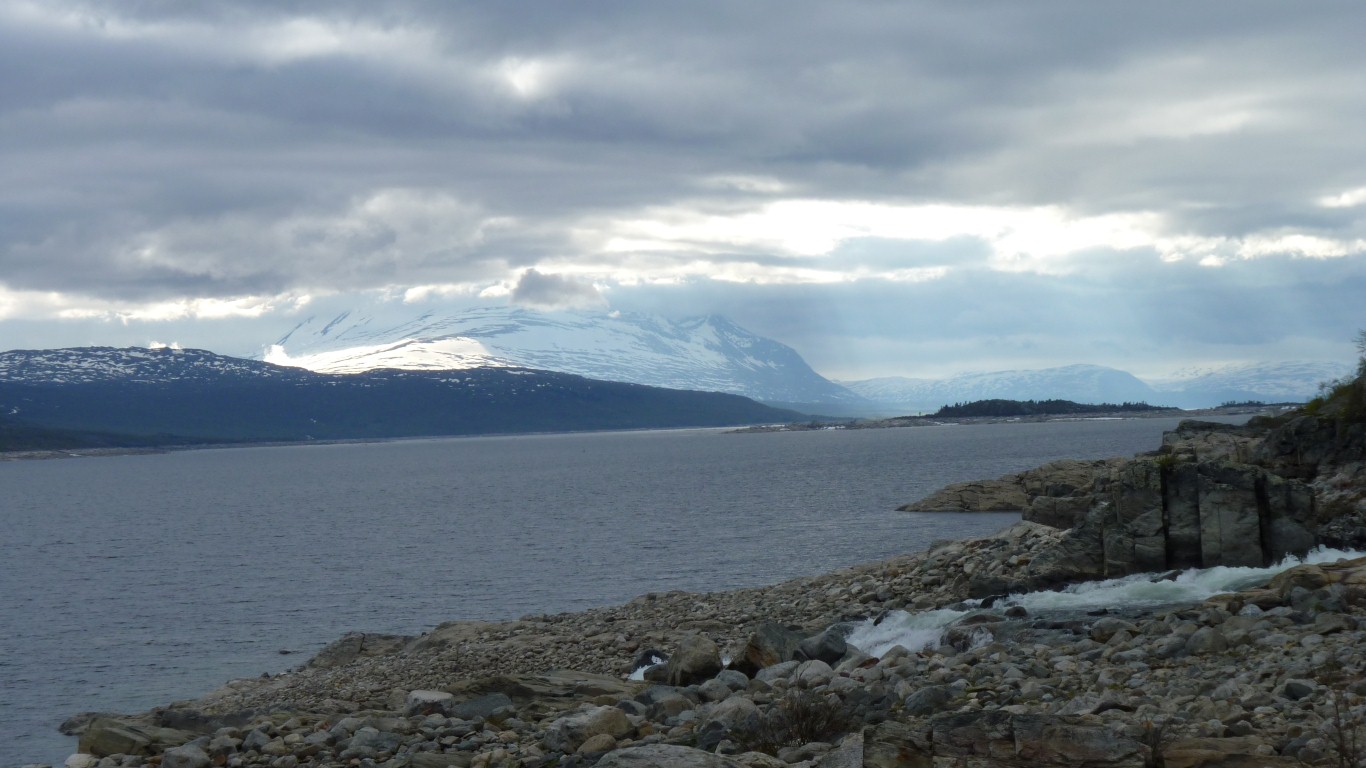
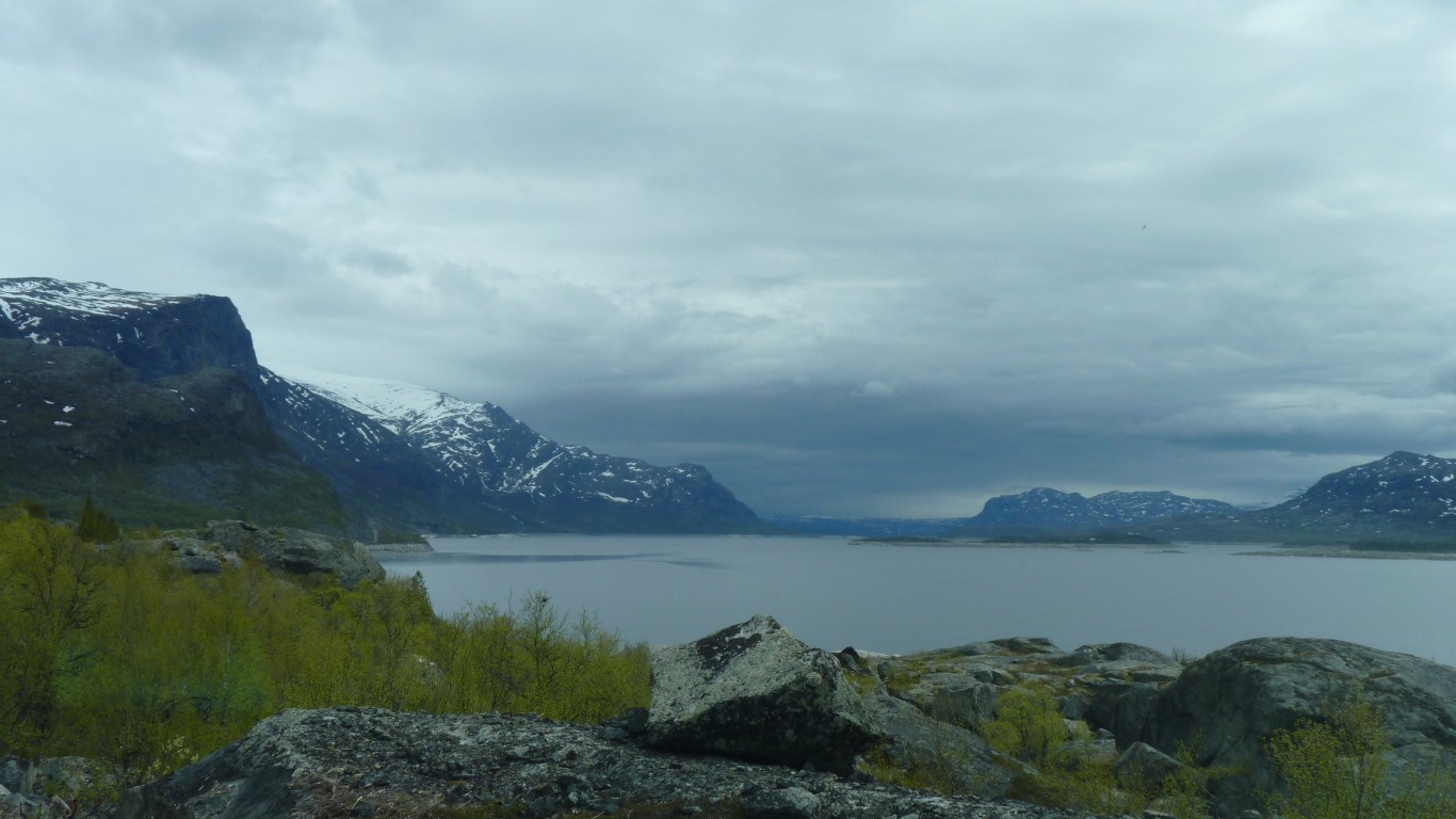
To the north of the road is Sjaunja Nature Reserve.
Europe's biggest mire. 500 sq km of bog.
We perhaps should have guessed it may rain!
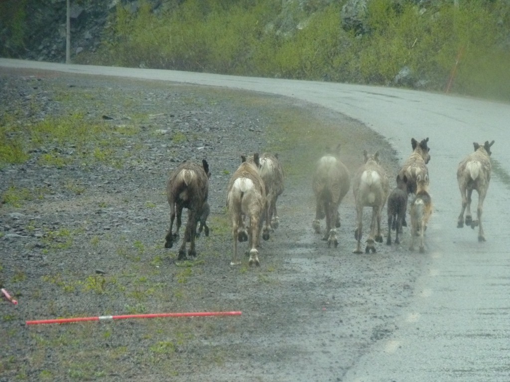
They were calm until we got there.
As we tried to drive slowly around them they decided they liked the way we were going. And wanted to get there first.
Over a 50m sprint its official, trucks are faster than reindeer.
They obeyed the international athletics federation conventions and sprinted in a straight line. The snow pole was an early casualty.
The youngsters kept up pretty well. Legs every which way.
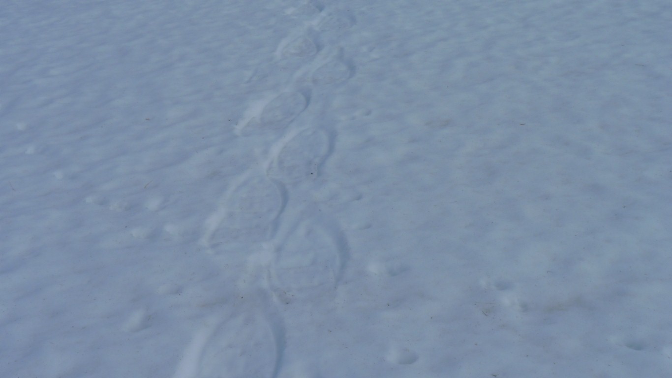
We're guessing that these are like the hoofs that made some of those large prints we've seen in snow.
Not as bad as it sounds. Nowhere to the side for them to go. They stopped after not too long. With all our other encounters we just had to follow slowly until they decided to get off the road.
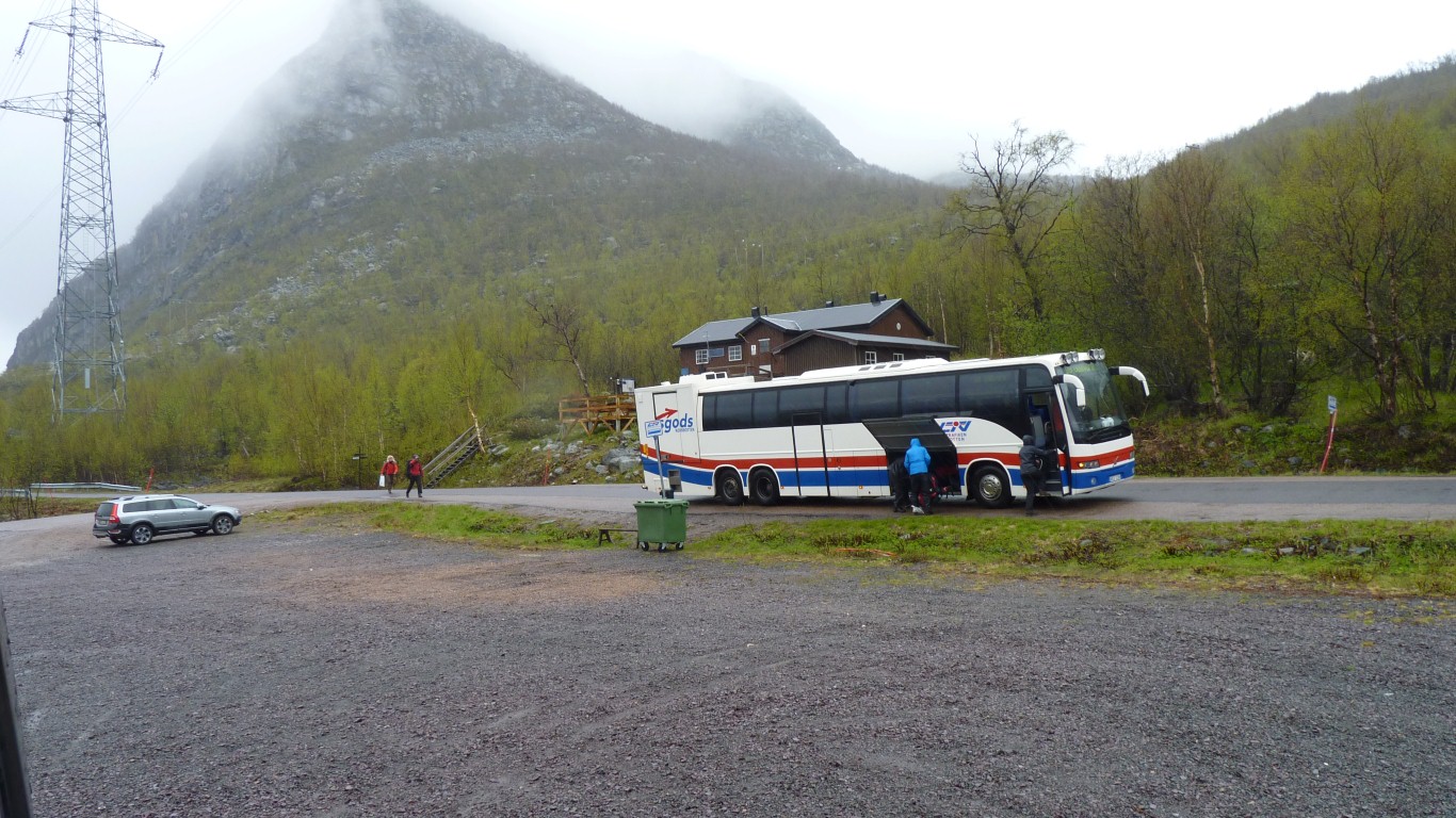
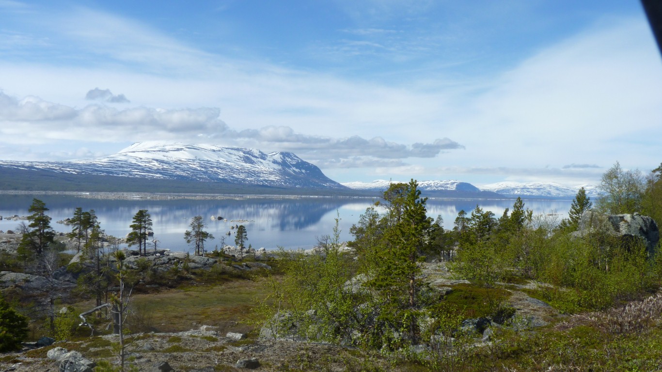
Where the Kungsleden (King's Trail) meets the lake.
There's a warden for the hut. The sort of hikers' bunk accommodation we are used to from New Zealand.
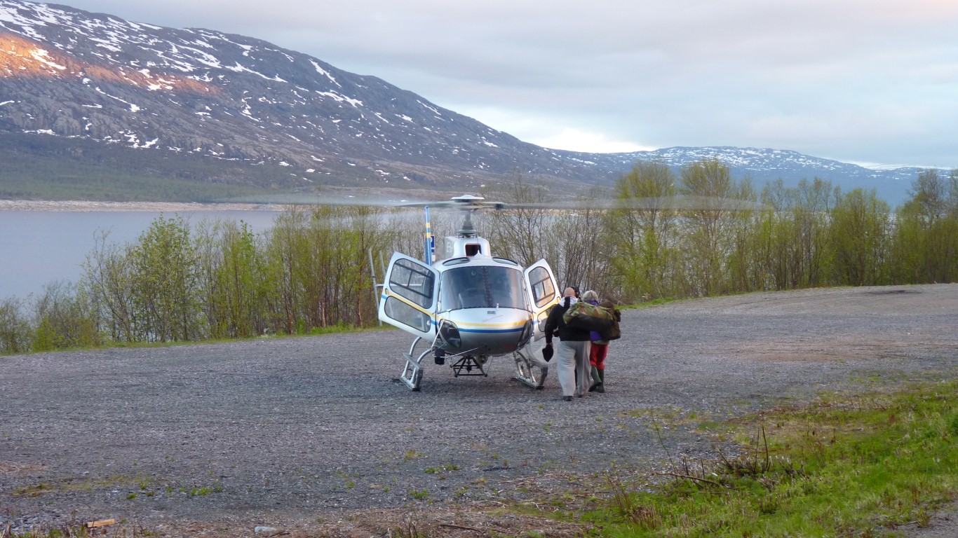
The bus is picking up four women who had walked quite a bit of the 400 or so km but had stopped because of the conditions.
Weather forecast is for a clear patch in the morning then more rain. Followed by .... more rain.
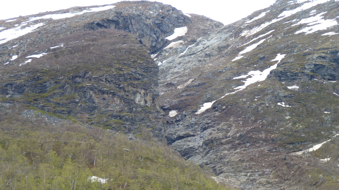
A few km east of us its blocking the road. Visible from the hut.
It will take a few days to clear.
Decision made for us really. We can go for a walk, or a drive to the end of the road (which is not far away).
While the weather looks good enough we'll choose the walk.
The hut wardens are from Stockholm, here for another three weeks voluntary work.
I thought it was about time I learned how to change the aspect ratio of the camera to widescreen. Much better for mountains. One would hope that after a year I would know .....
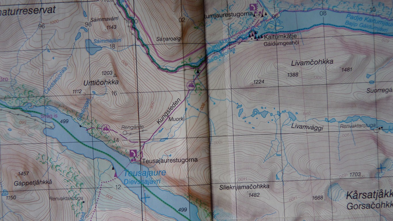
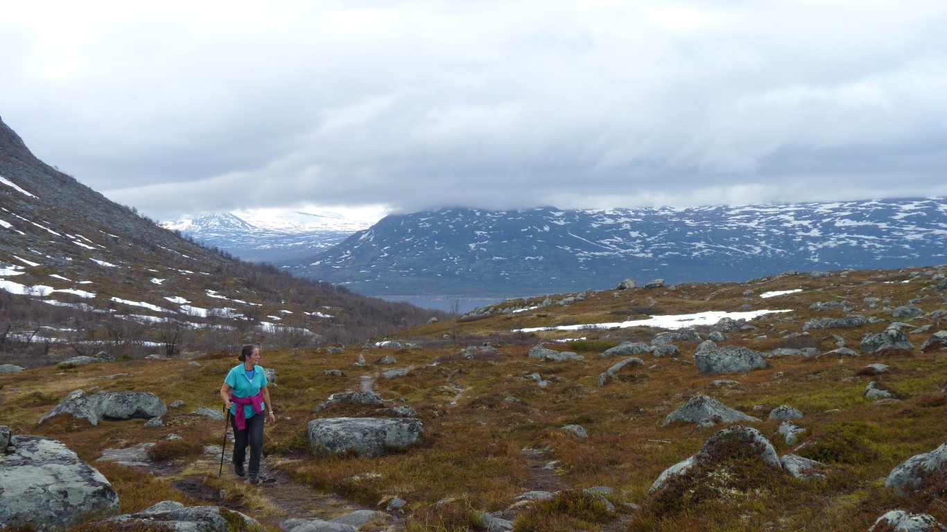
We'll get about halfway to the largish river, then return.
Just a day walk. Probably about 10-12 km in all.
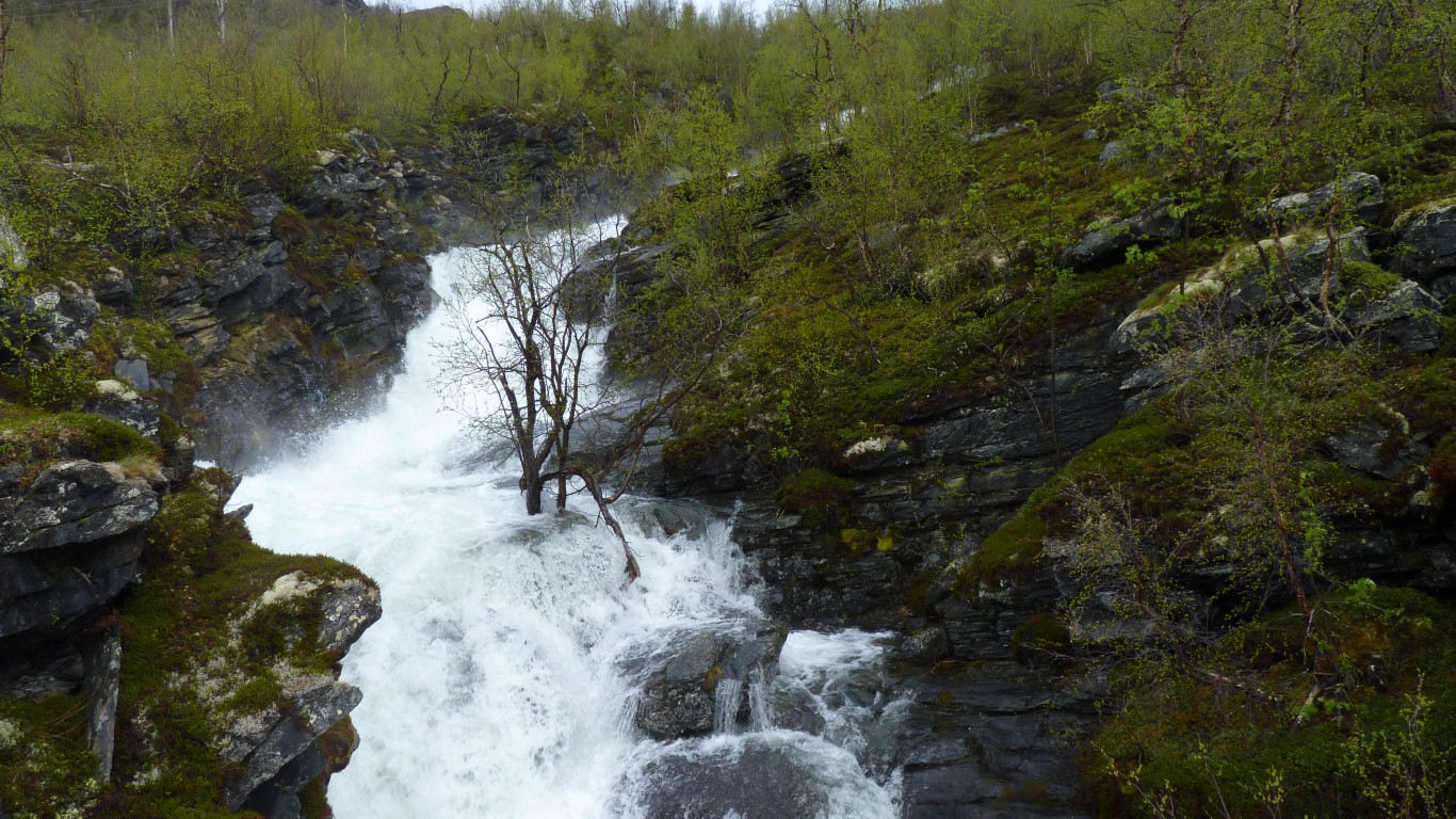
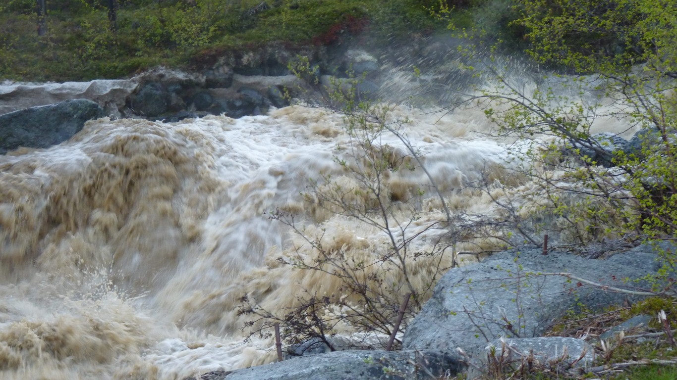
More of a raging torrent at this time of year.
Just as well there's a bridge further up.
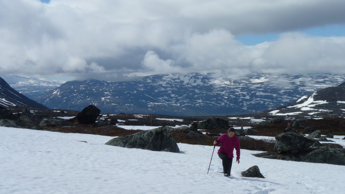
We're happy to be in the mountains. Difficult to describe the feeling, probably just feels like "home".
It just gets better and better the higher we climb.
Woods and forests are nice, but mountains are better.
I started my hiking life in the English Lakes and an attempt on the Pennine Way (about 430 km, Milford Track is about 55 km, Kungsleden about 400 km).
But its not the length its the scenery, and just being here. Our footsteps are light today.
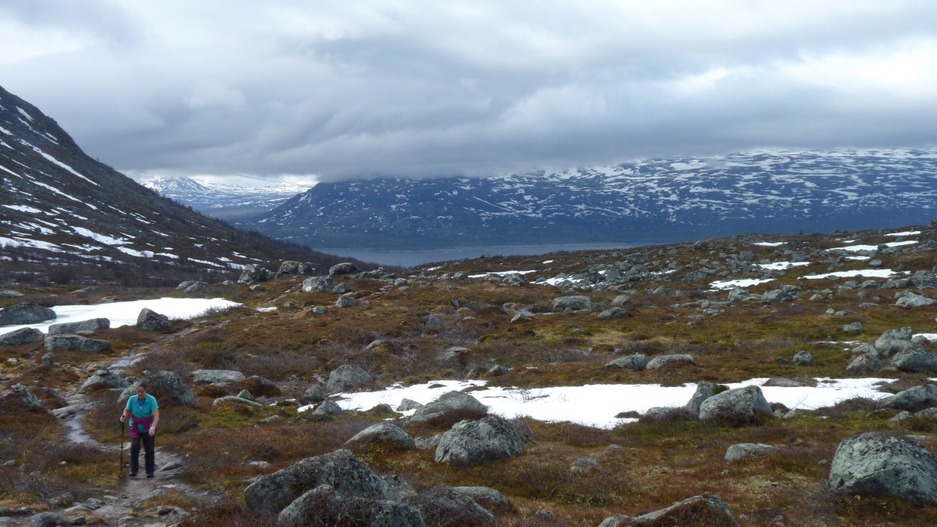
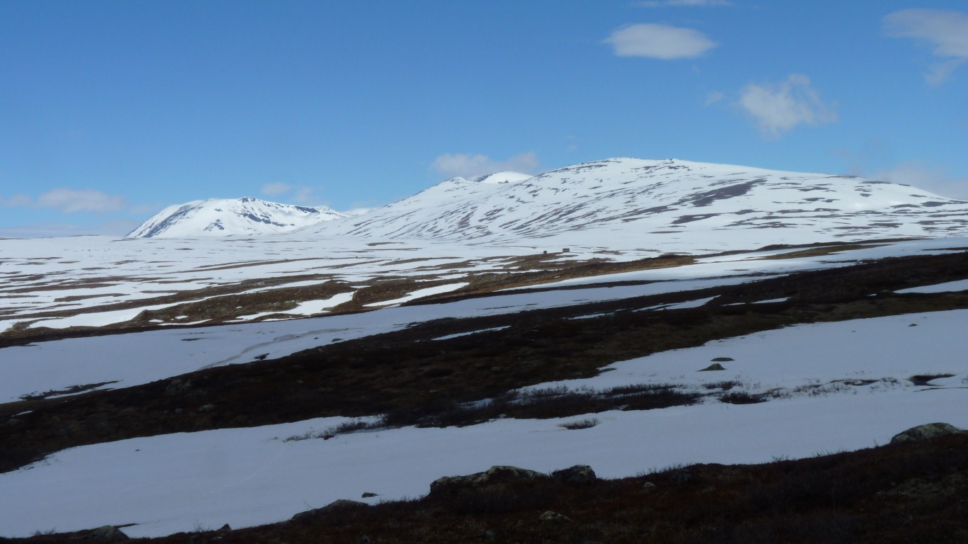
We are headed through the very wide saddle between two high peaks.
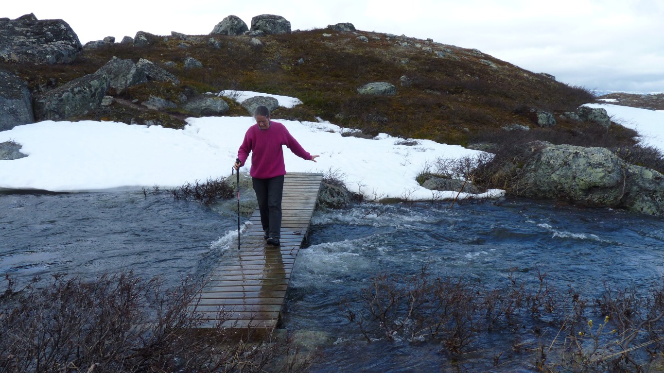
Ali is feeling her way carefully having just broken through the snow to put foot in icy water flowing underneath. I don't know why she did that!
This side was no snow but water. Ali seemed less than enthusiastic for a while. Something about cold feet!
It just breaks every so often.
Its hard work for us occasionally up to our knees.
Like continuously climbing but not going up. Like one of those infuriating gym exercise machines.
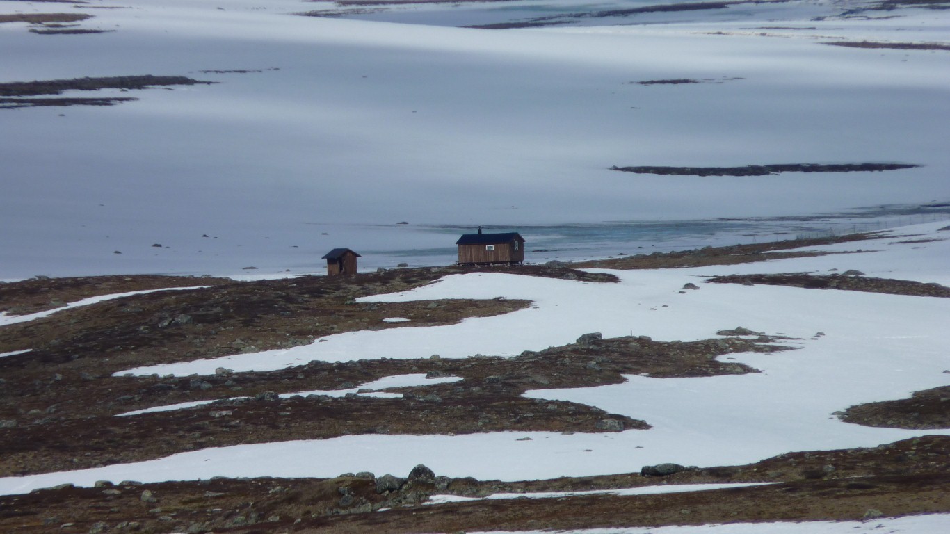
That rectangular shape about centre, the loo can be seen just to its left.
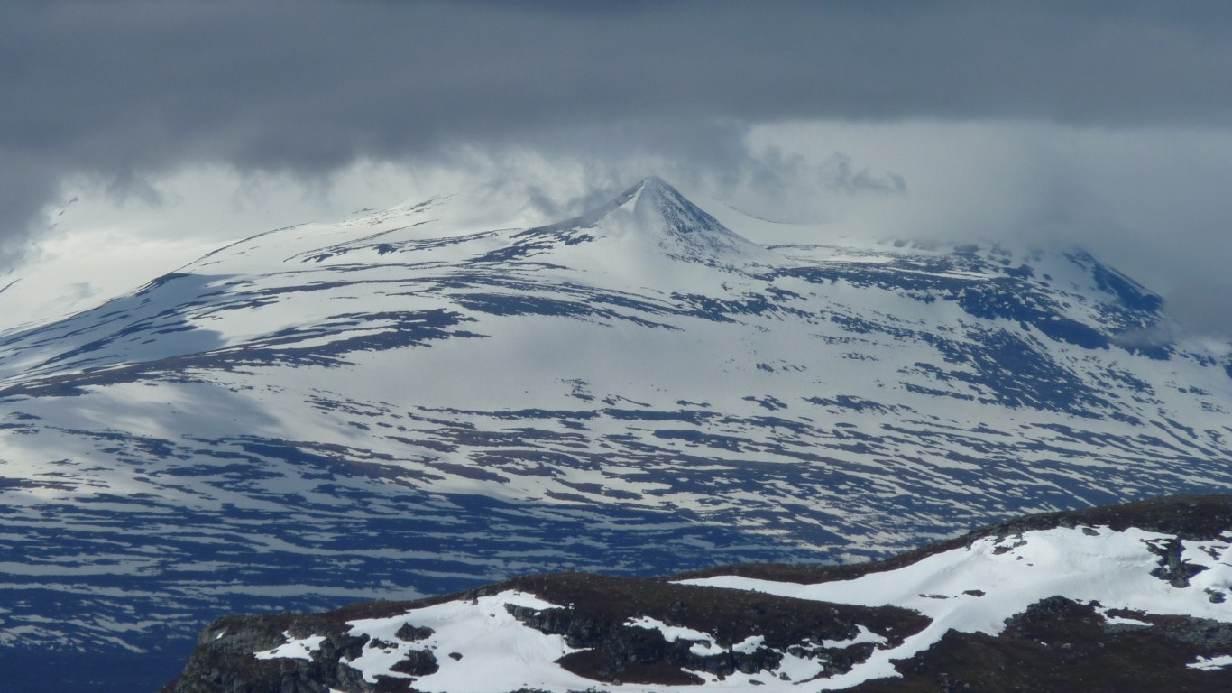
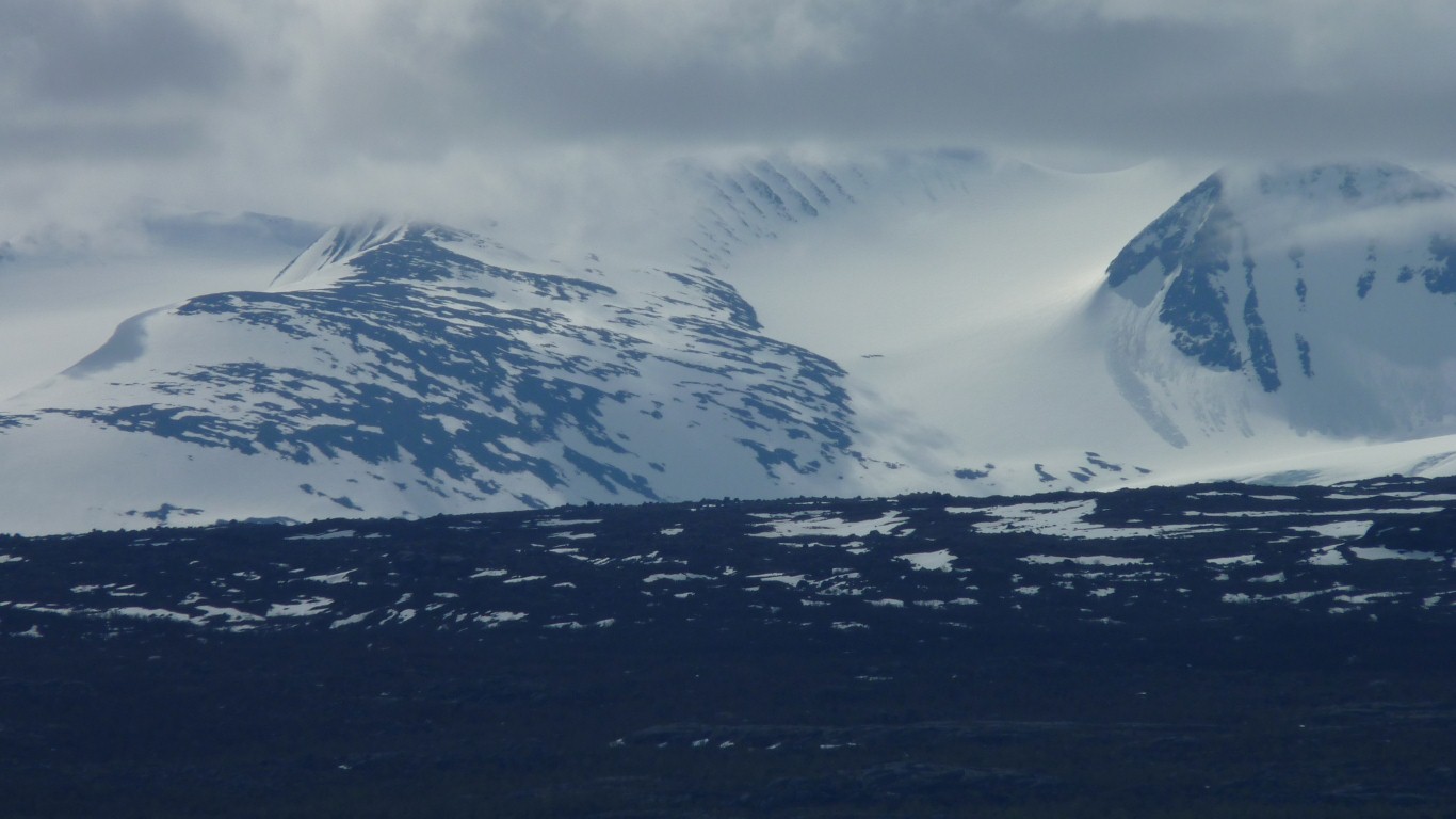
These are the twin peaks of Urtticohkka (1123m and 1203m).
Bogged down as we were in the snow we didn't realise until looking at the photos how lucky we were that the cloud cleared for us.
To the long list of things we didn't carry we should have added snow shoes.
Skis not necessary here, but maybe next time!
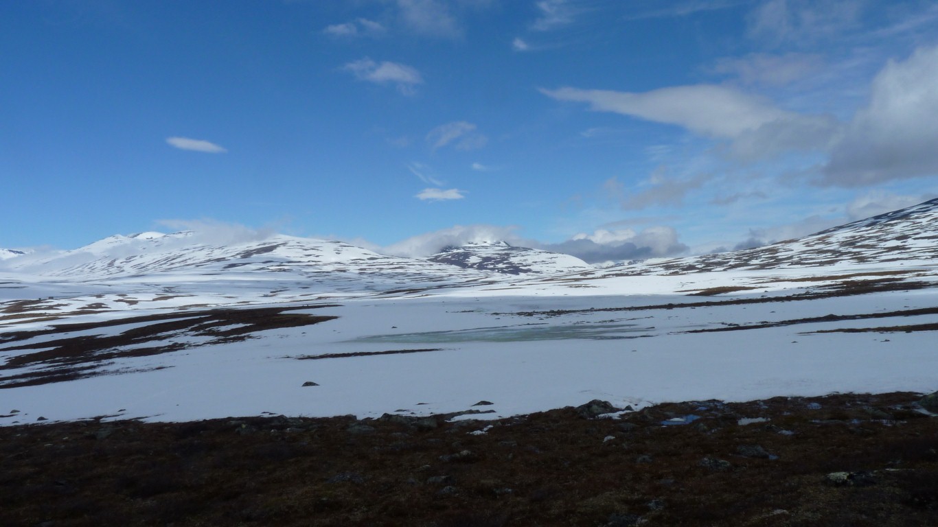
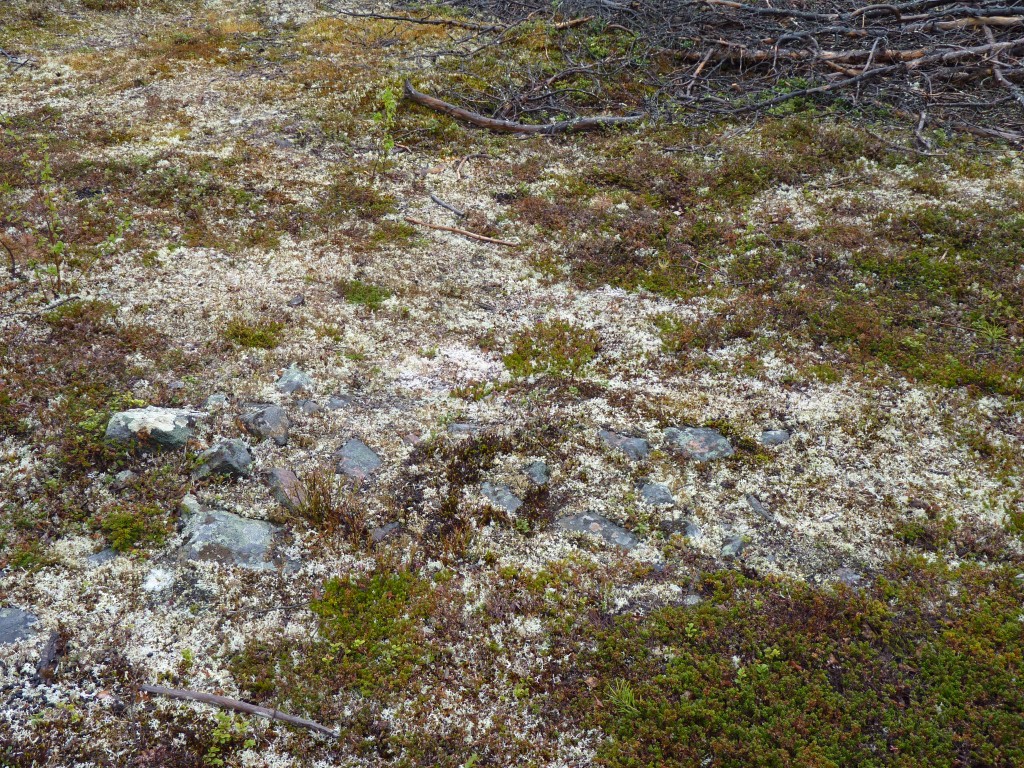
Its not peat bog, just saturated with water.
When we aren't pushing through the snow we are walking through a mire. Soggy. A pervasive sound of running water.
The hut is stood on some rocky ground.
We didn't think we'd get this far..
We turned back shortly after this photo. A little further and we'd have seen into the next valley.
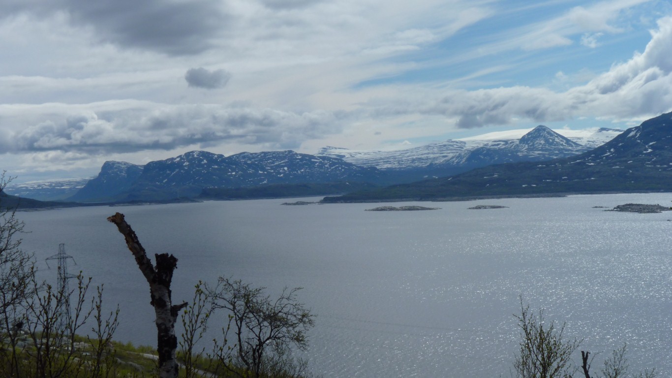
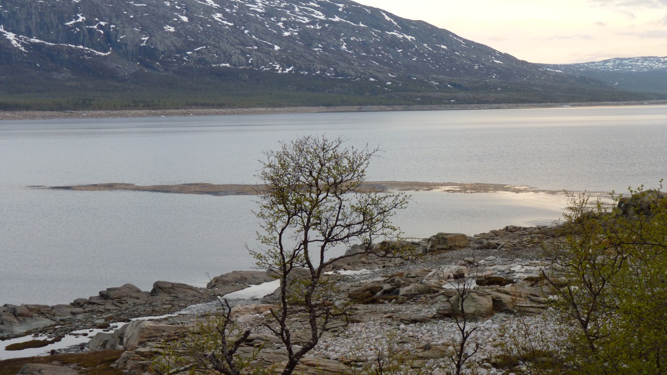
West south west of us, on the south side of the lake.
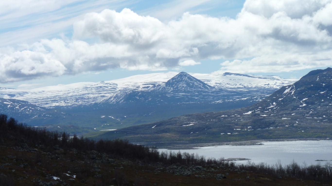
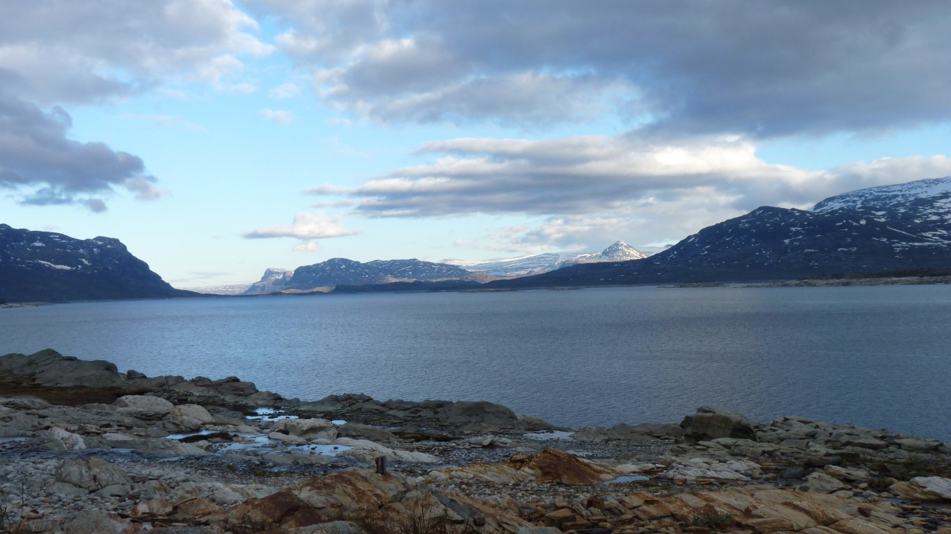
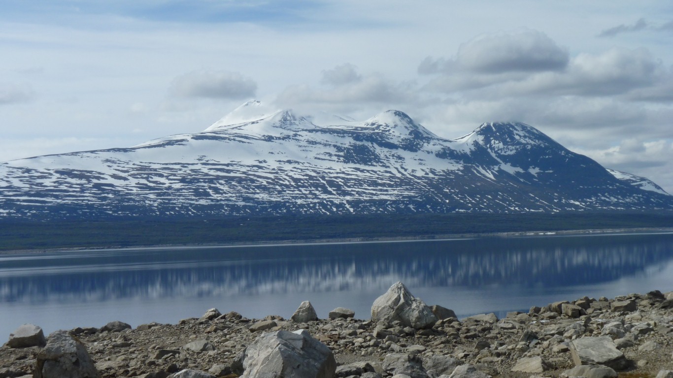
We drove past those mountains yesterday without seeing them.
The conical bit doesn't seem to have a name.
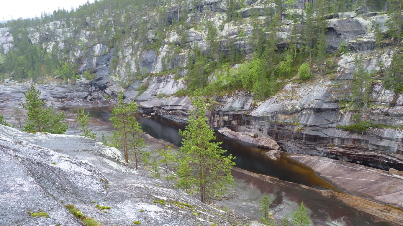
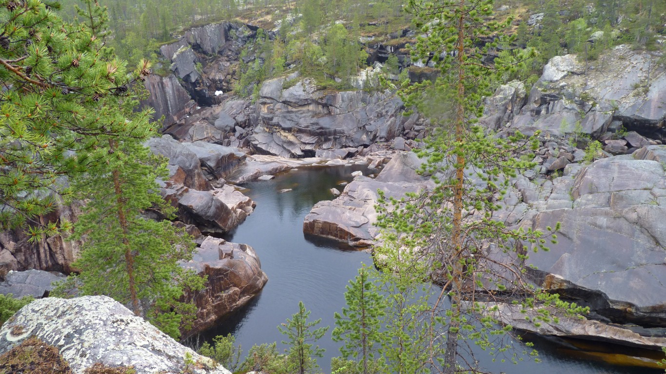
In 1885 the main attraction was "The Nordic Niagara". Targeted marketing has been around for a bit before www.
Alas (for us), in the early 1900's the hydro scheme left the waterfalls dry.
One person's development is another's destruction.
For us the attraction is mountains.
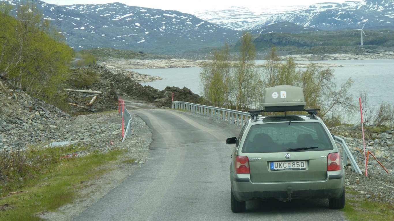
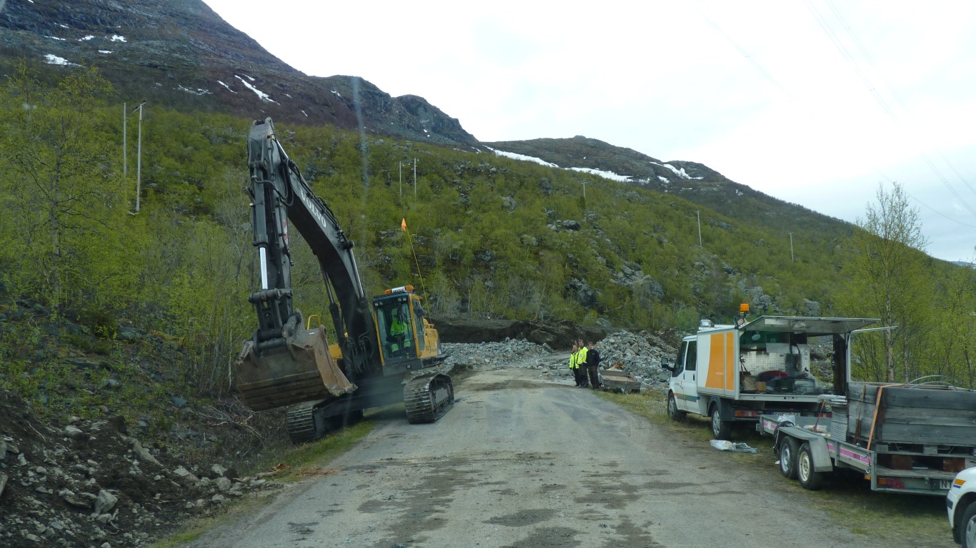
Looking the other way down the lake we can see earthmoving equipment on top of the landslip.
We're guessing that they'll first make a track over the top, then make it roadworthy. But we aren't in any hurry.
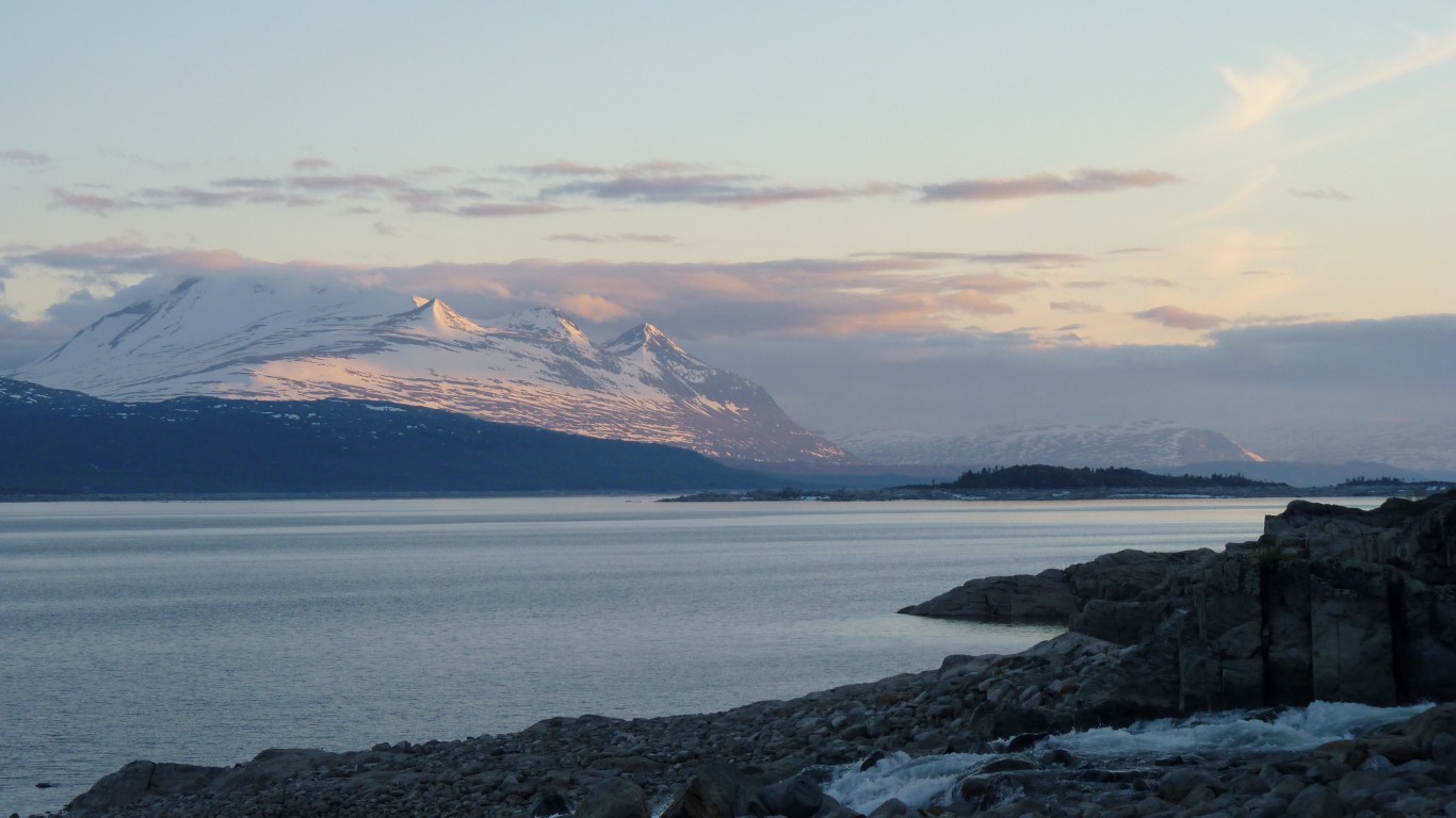
This about 8:30 pm as the sun is being lowered in the sky.
Hopefully it will go even lower, maybe even hide for a bit, so we can get some sleep ....
Meanwhile the barometer is rising sharply. If we are lucky, the forecast is wrong. Maybe the weather in quantum mountains is just unpredictable!
Get up at midnight and take a photo.
Not too long after going back to bed there was a sound like a helicopter.
A low rumbling. Felt as much as heard.
But without the rhythm of the blades.
And before it ended a hammering on the side of Tardis.
That's some of it floating on the lake.
We, and the wardens, moved up the road a bit.
The clean white foam of earlier in the day was replaced with muddy brown water.
A mountain with indigestion.
Obviously unsafe for them.
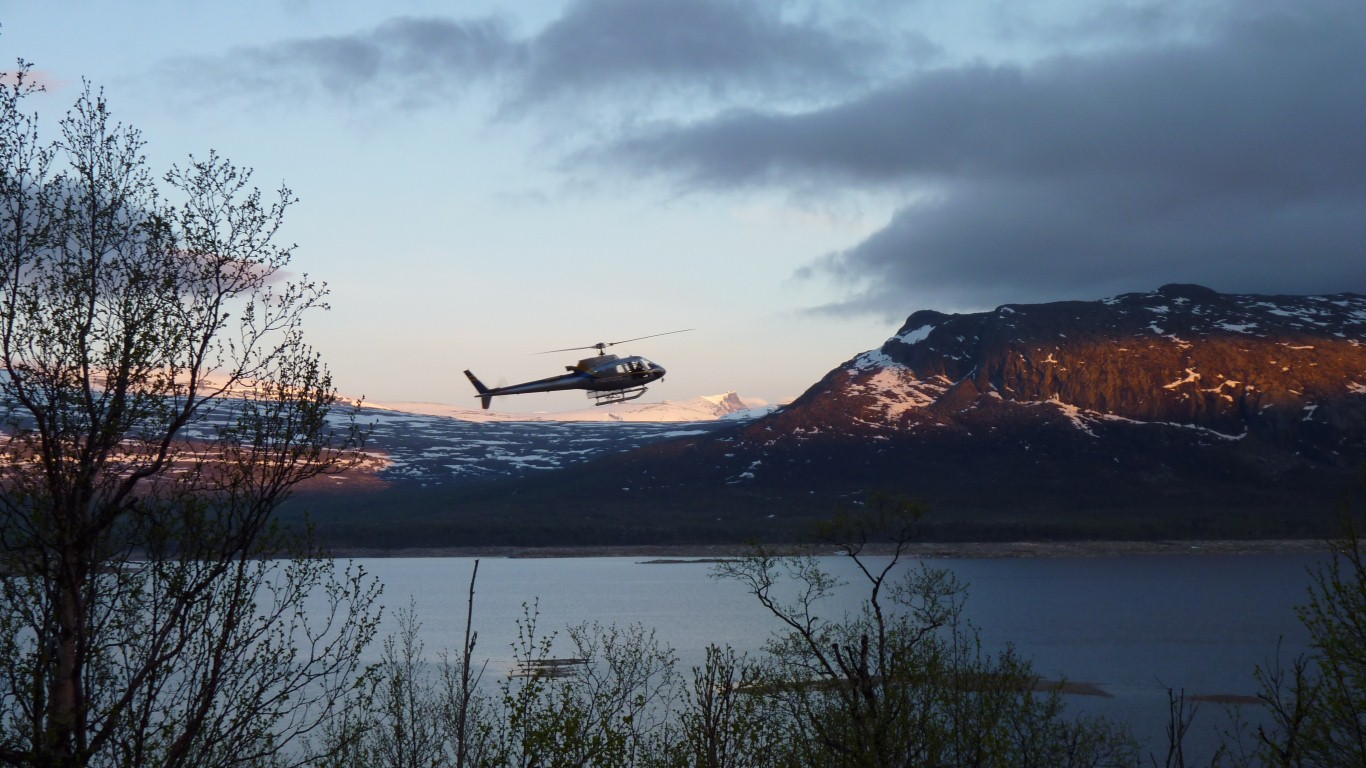
They couldn't drive out because of the first avalanche so a helicopter was provided.
We'd had a good chat earlier in the day and while waiting for the helicopter.
They offered us a lift but we figured we'd stay with Tardis.
And so we waved them off.
We drove for about 15 minutes further west to what looked like a safer car park.
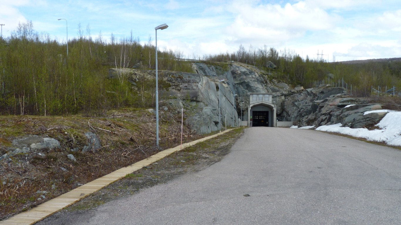
This is a portal to the hydro scheme.
Unfortunately, the road we'd planned to follow was blocked by a very official looking gate.
The walk we had planned from the end was not to be.
We think the mountain is Ahkka (2000 m). Mentioned in the park notes as a Saami sacred site.
From the map it looks like there are 5 or more glaciers flowing off the mountain.
Without taking a boat somewhere there's only the one track to walk on, and we've been there, done that.
So as it started to rain again we headed out of the valley.
When we saw him move on we finished lunch and followed.
No sign of him at the avalanche, just his car.
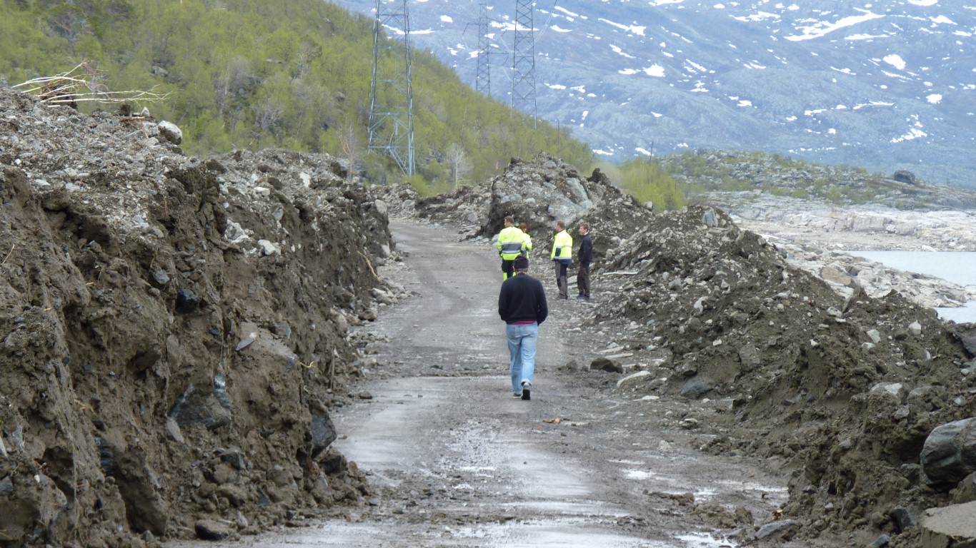
First impression confirmed what we'd seen through the binoculars. They'd very quickly forged a path through, following the road seal.
Initially they said "come back around 6 and we'll let you know".
As they pointed at the road and explained their concerns I managed to include "Australian", "China", "Mongolia", "4wd" and "high vehicle" in the conversation.
As innocuous as I could make "do you think a 4wd with big wheels and lots of height would get through?". No pressure.
Smiles all round, and after a little while they suggested that I could drive through if I thought it was ok, at my own risk.
I'd expected to see water oozing from the mud but, although it was a bit crumbly, with little bits falling off as we watched, it looked stable enough. Sandy from the granite rather than sticky clay.
The previous one from the same site was about 3 years ago.
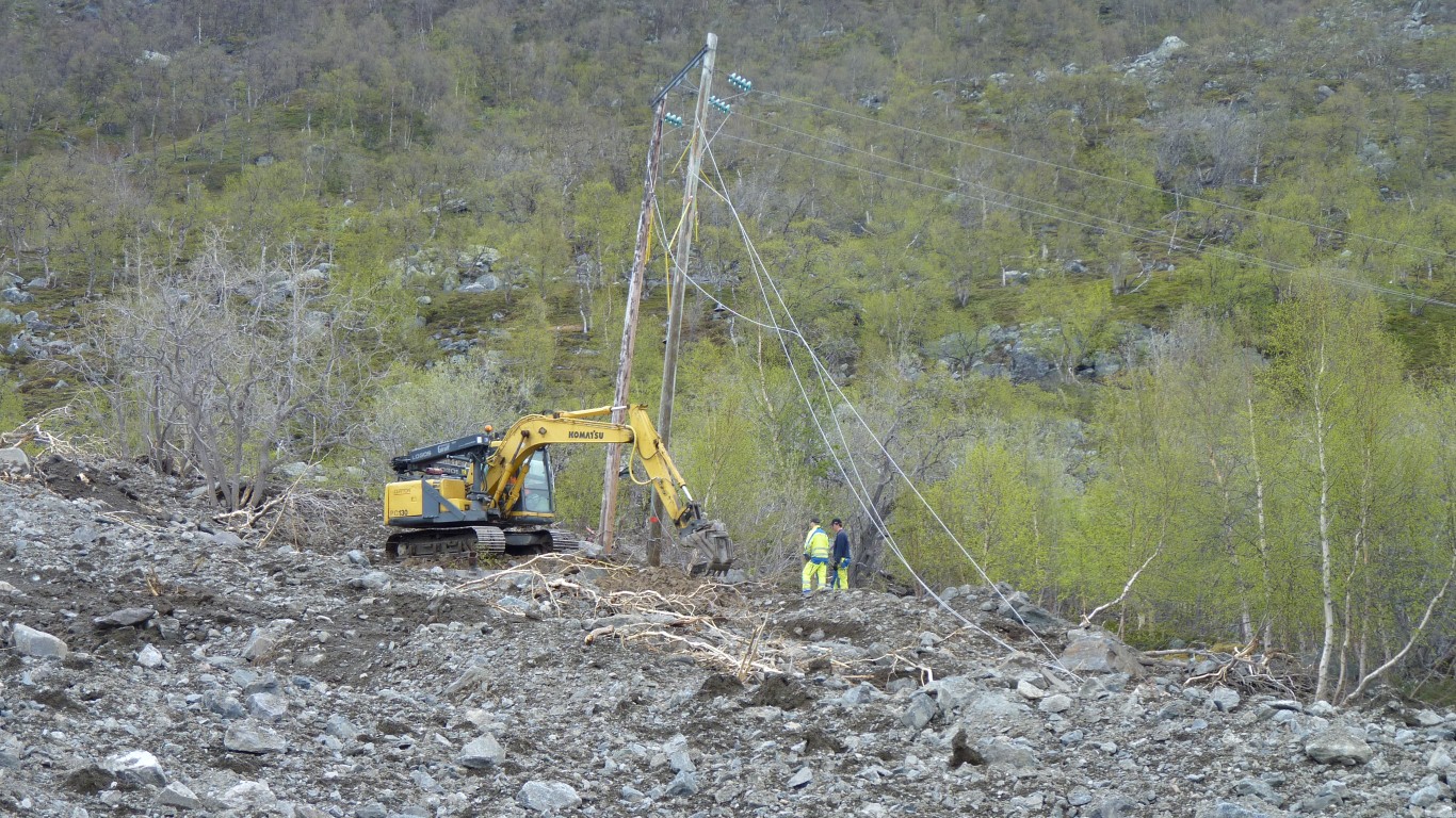
This is a lower voltage cable providing power to inhabitants of the valley.
Apparently the electricity workers at Ritsem had connected up their own transformer to the big cable when the little cable was broken.
Our friend in the car, and his car, were nowhere to be seen.
We'd passed most of it by this bit. The excavator was moved. And through we went. With a big thankyou.
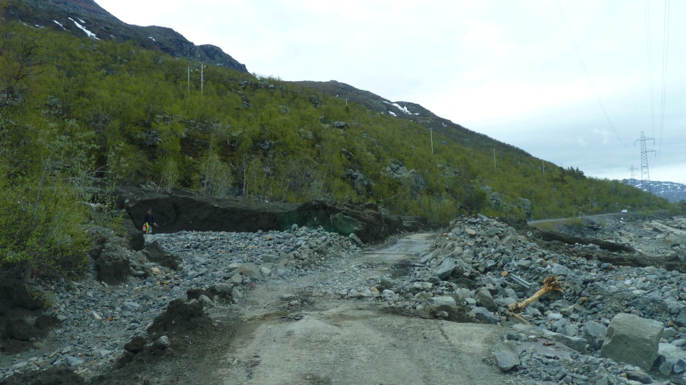
Largish rocks where the road used to be.
A trivial matter for Tardis!
An awesome 200 km round trip.
We are camped near the side of the road. Its raining. Feeling a bit smug as we see vehicles driving in coming back an hour or so later.