The Siida Saami Museum.
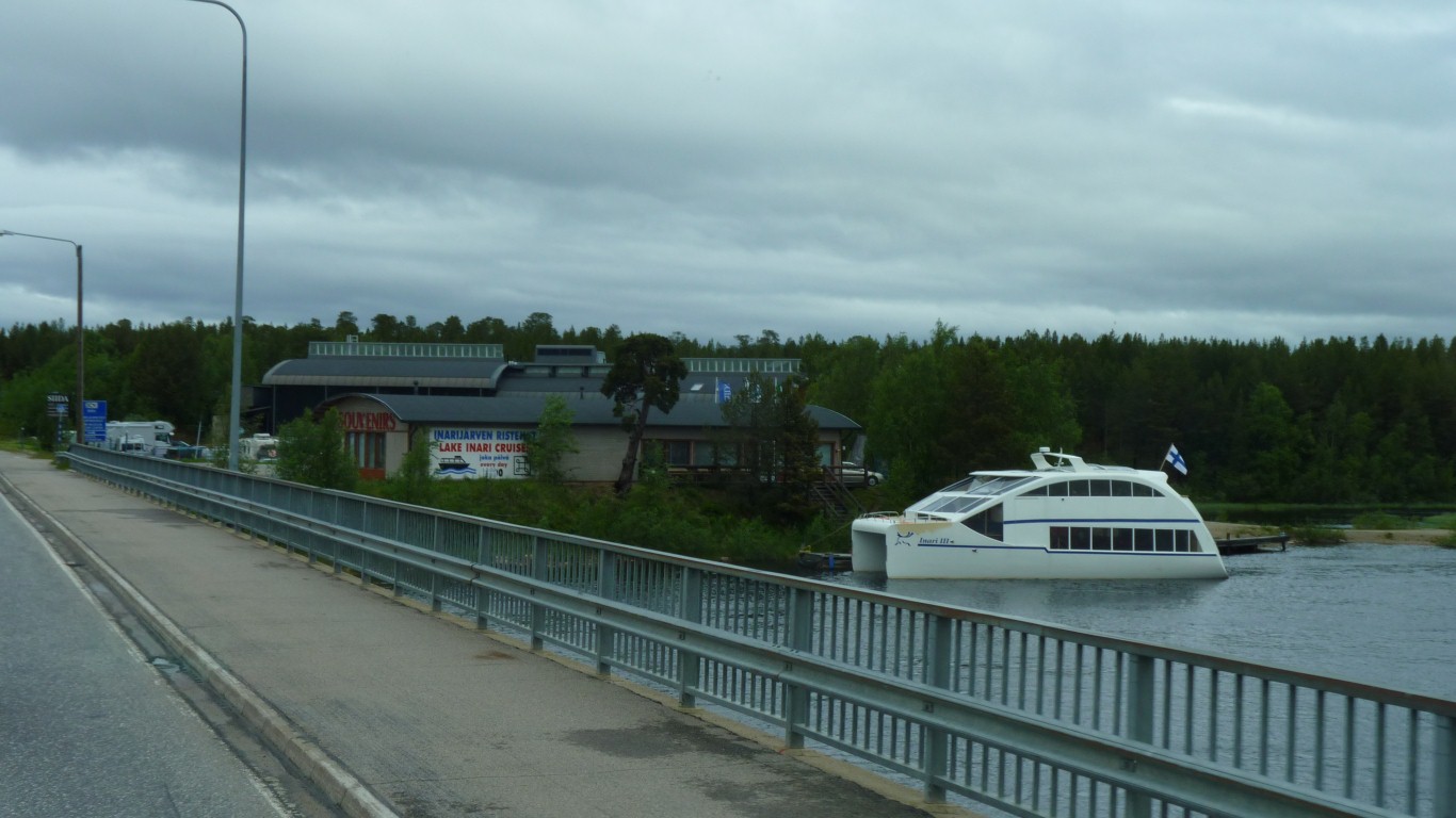
And a bit of evidence of tourism!
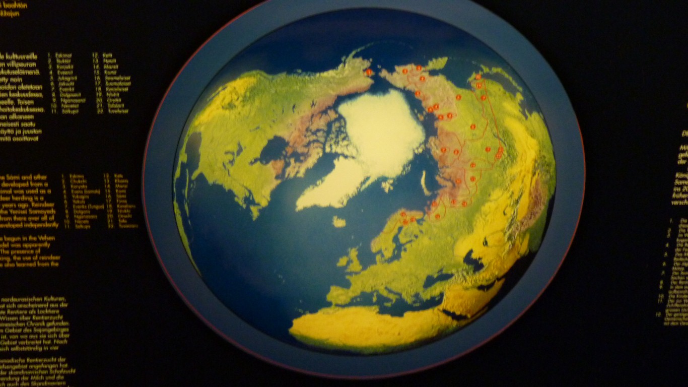
This is a map of the peoples who inhabit the north polar regions.
From here we got what we thought was a good description of how the Saami arrived and how they live(d).
Around 10,000 BC the ice had retreated enough for them to move into northern Sweden and Finland.
Around 8300 BC there were more arrivals from the Baltic and Russia.
And around 6500 BC from the south.
Which of course conflicts a bit with what we learned in Sweden where people arrived from the north west.
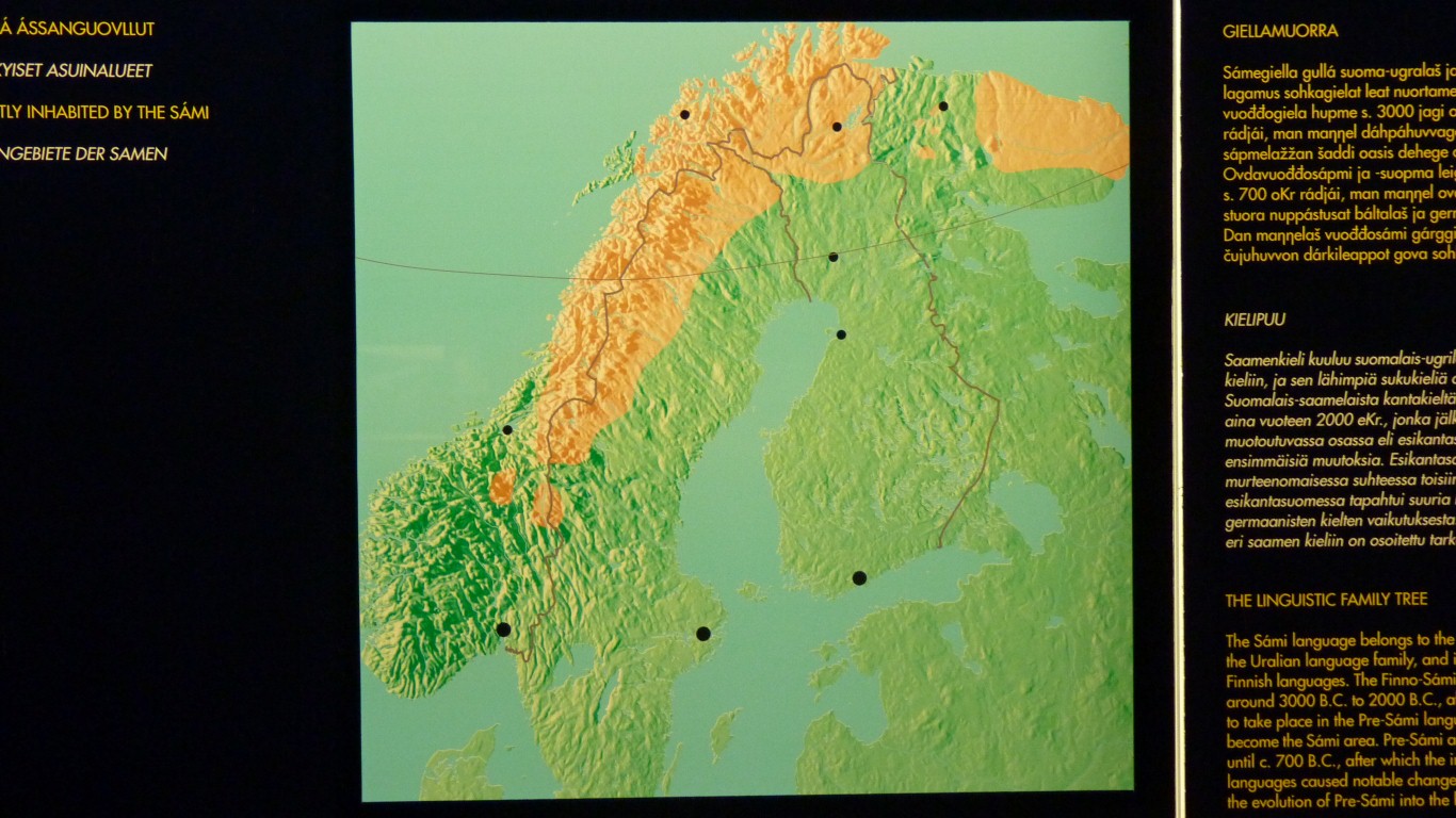
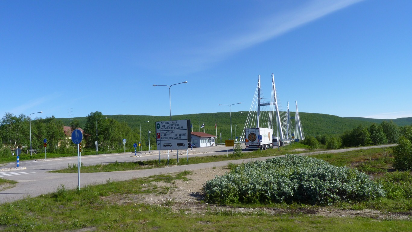
The Finnish border with Norway was closed in 1852 and with Sweden in 1889 which messed up Saami movements. And of course a few other changes didn't help.
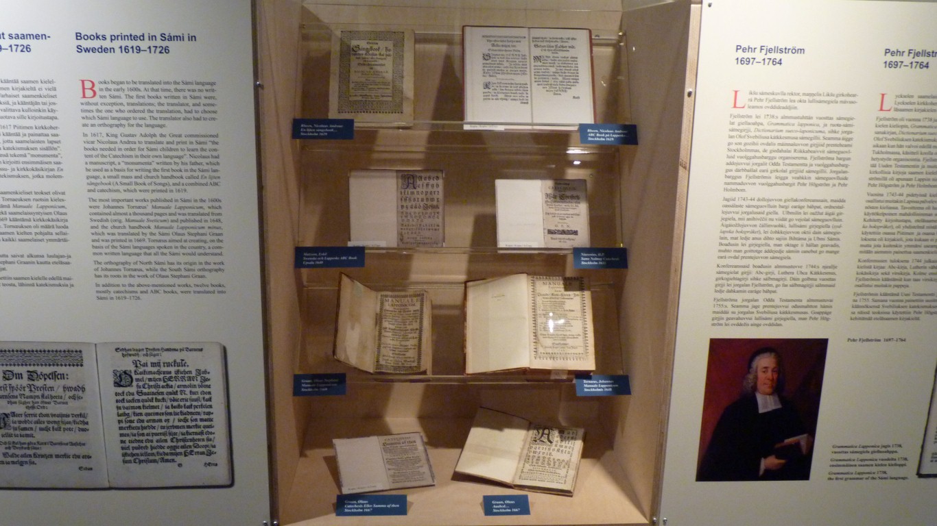
The museum hosts a private collection of Saami language books.
A great christian religious emphasis as the conversion of the Saami and integration into general Scandinavian society required a written language.
Apart from that it was a remarkable collection of books for any language, original books back to the 15th century. , And superbly described.
And the rain stopped.
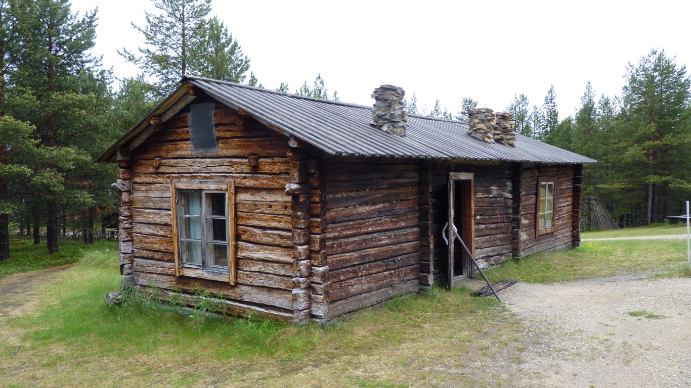
This is a 3 bedroom settlers cottage.
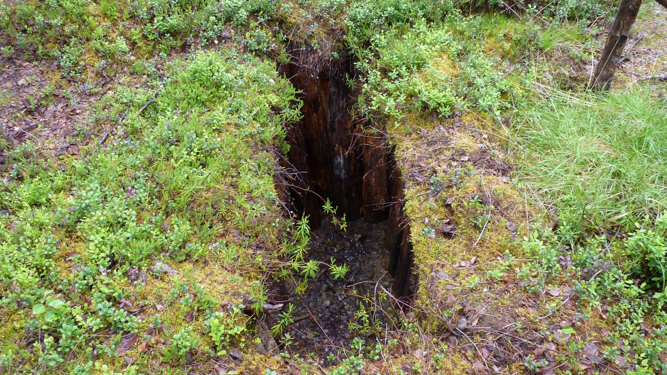
Yes. A reindeer pit trap as it probably would have been.
Wooded staves to give the trap shape.
It was probably also covered.
These are for foxes.
Put some bait on the top, the fox reaches up and catches its paw in the v notch.
Foxes were trapped as they were thought to prey on the reindeer.
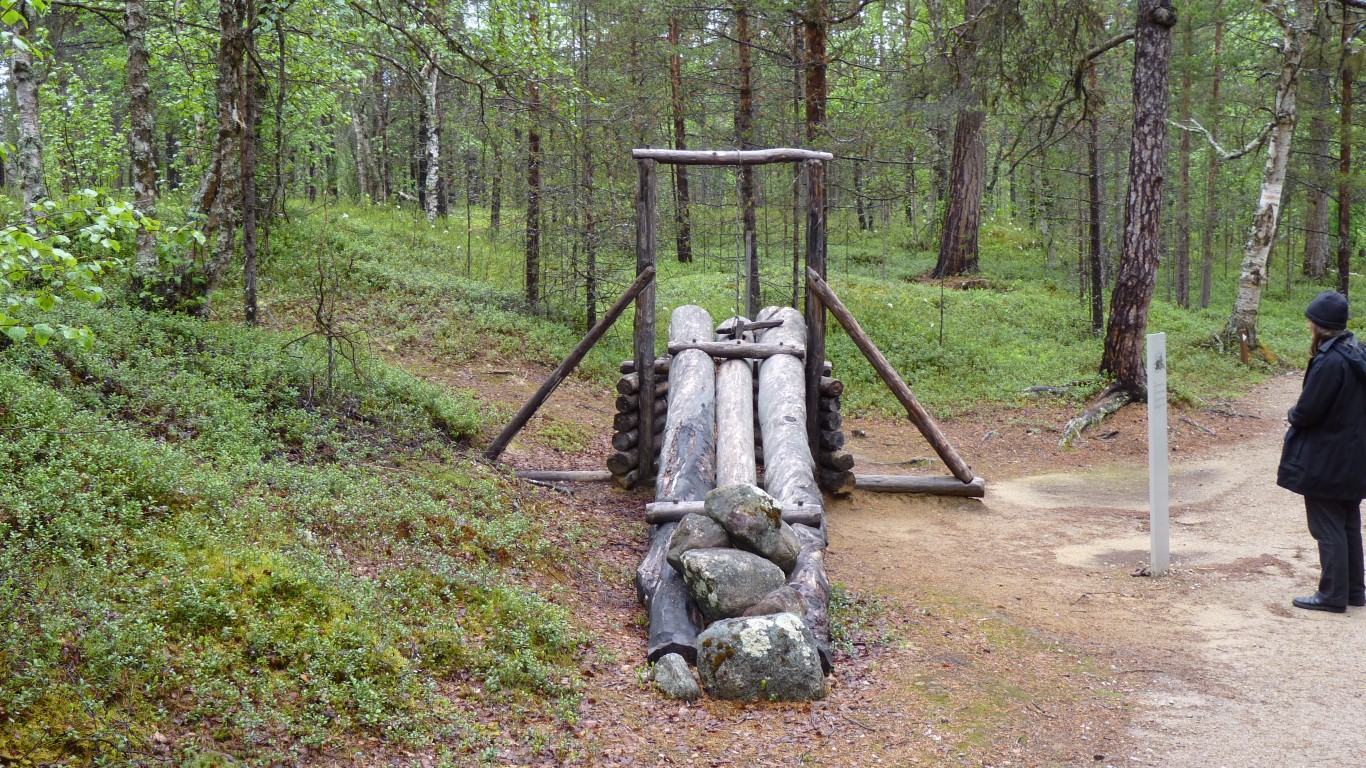
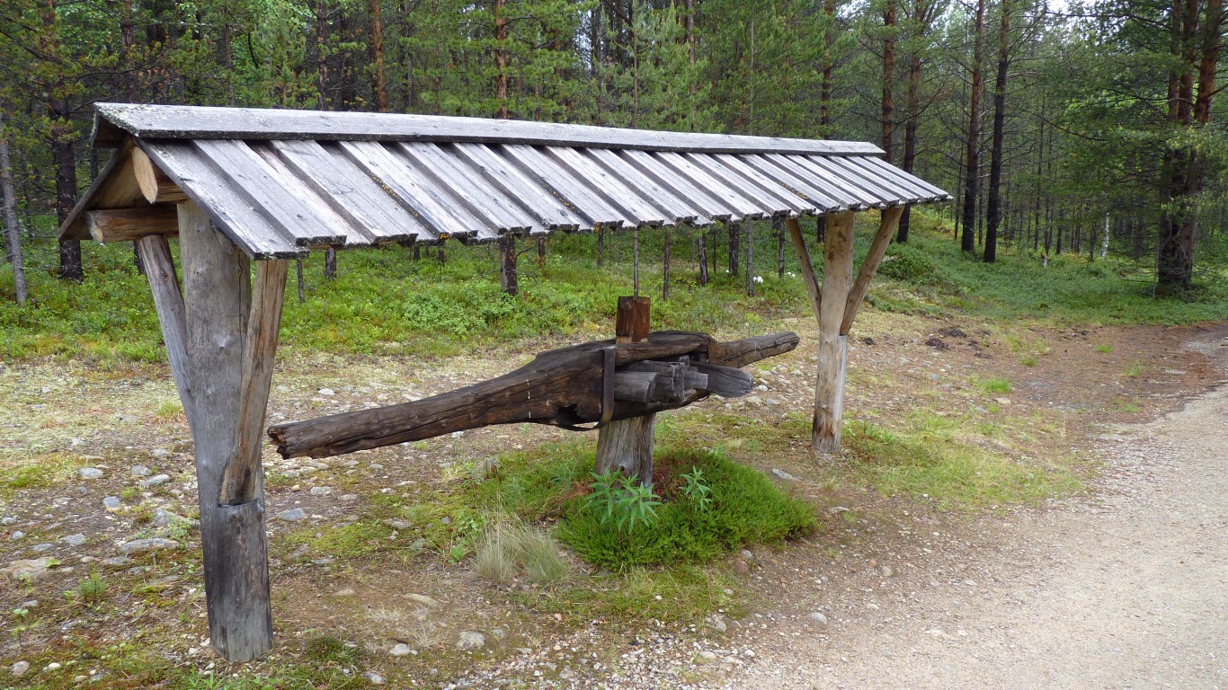
The bear looked for the bait in the cage at the far end, entrance under the raised logs..
The logs landed on the bear. If it could still move it was driven into the cage by the weight of the logs.
We spent about 3 hours in the museum. A long time for us.
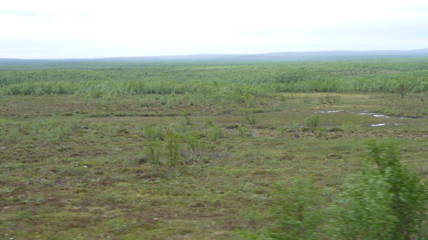
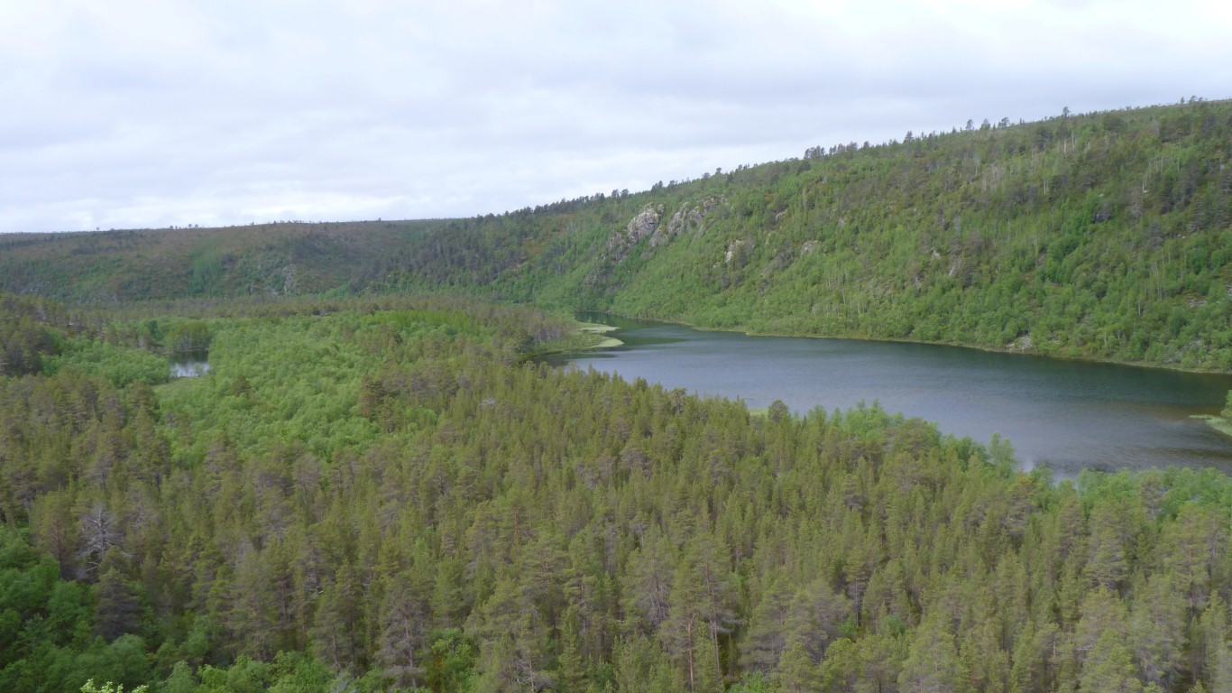
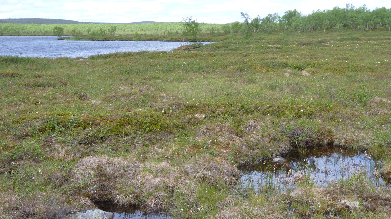
We left pine and spruce behind and drove past quagmire and birch forest.
The birch trees were looking a bit stunted.
More strictly controlled than national parks.
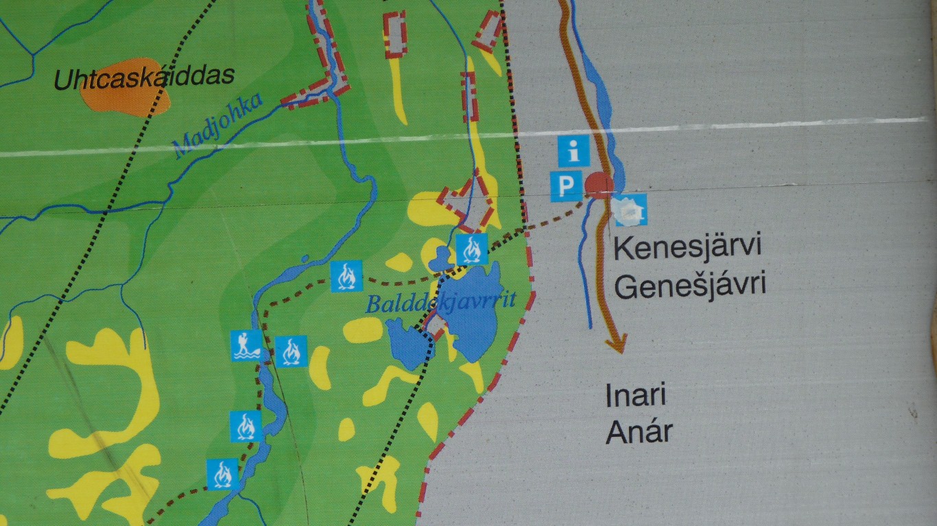
There's a 63 km track. This is the north east end.
We'll walk the 8 km to the river crossing, then back.
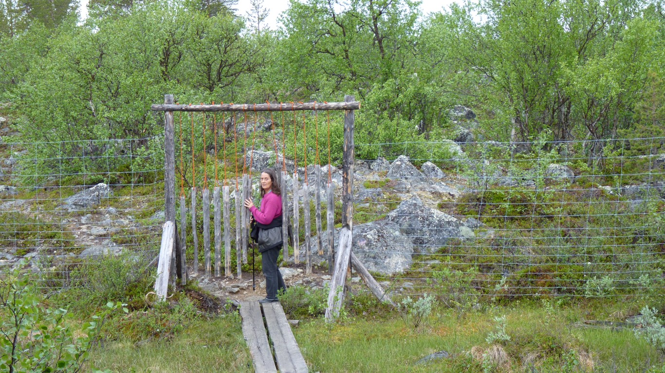
Like a large version of oriental wind chimes.
Cleverly designed for the unwary to grasp and pull apart, to find knuckles squashed.
Very noticeable that the ground cover was higher inside the park.
The barometer was also rising.
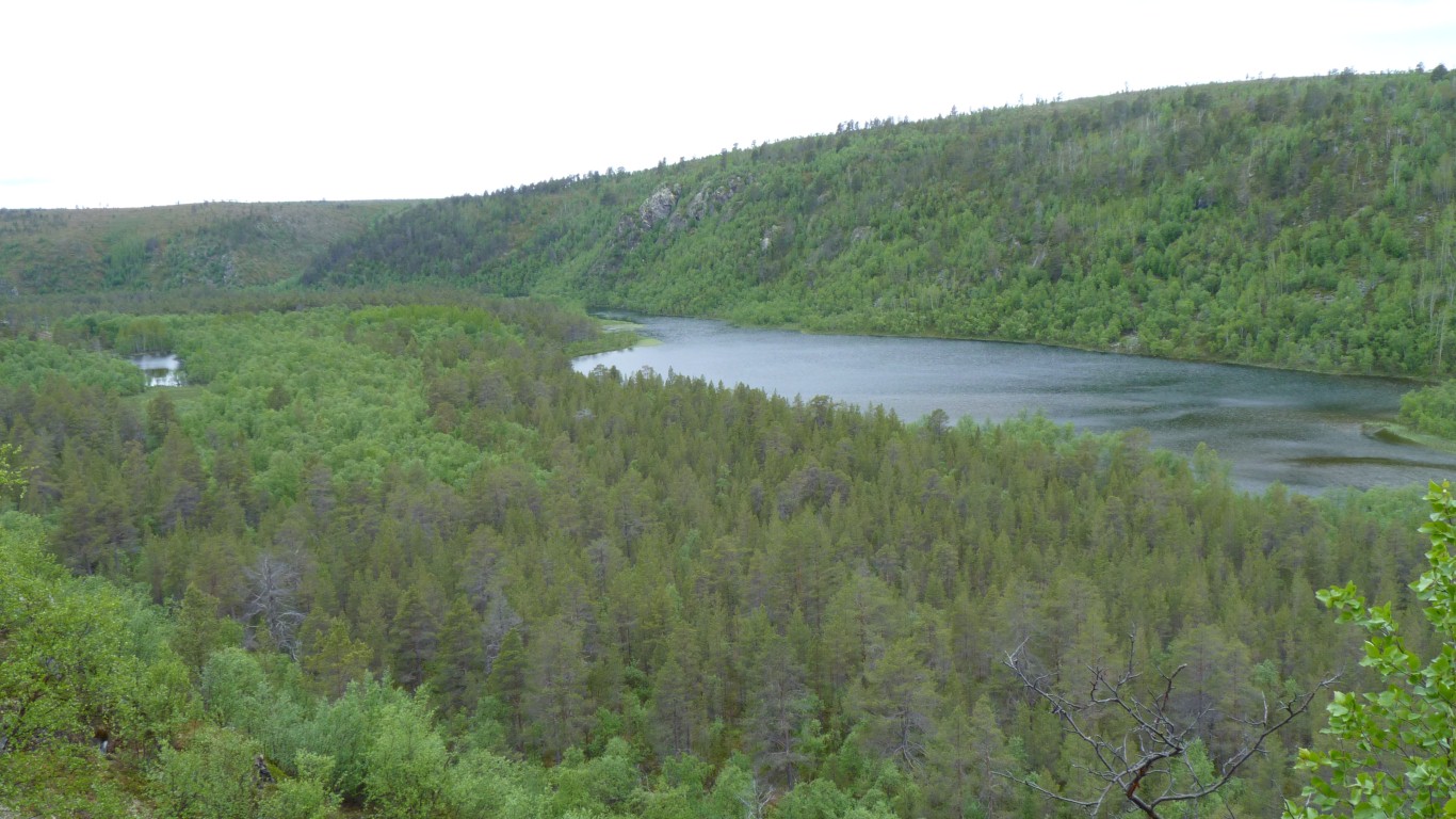
We reached the river and headed down to the crossing.
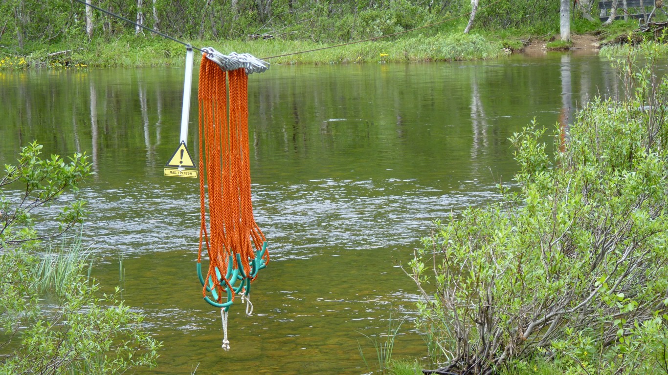
Crossing rivers is something to be mastered.
The Finns are obviously tougher. They get their feet wet. The ropes on pulleys are just for support while wading.
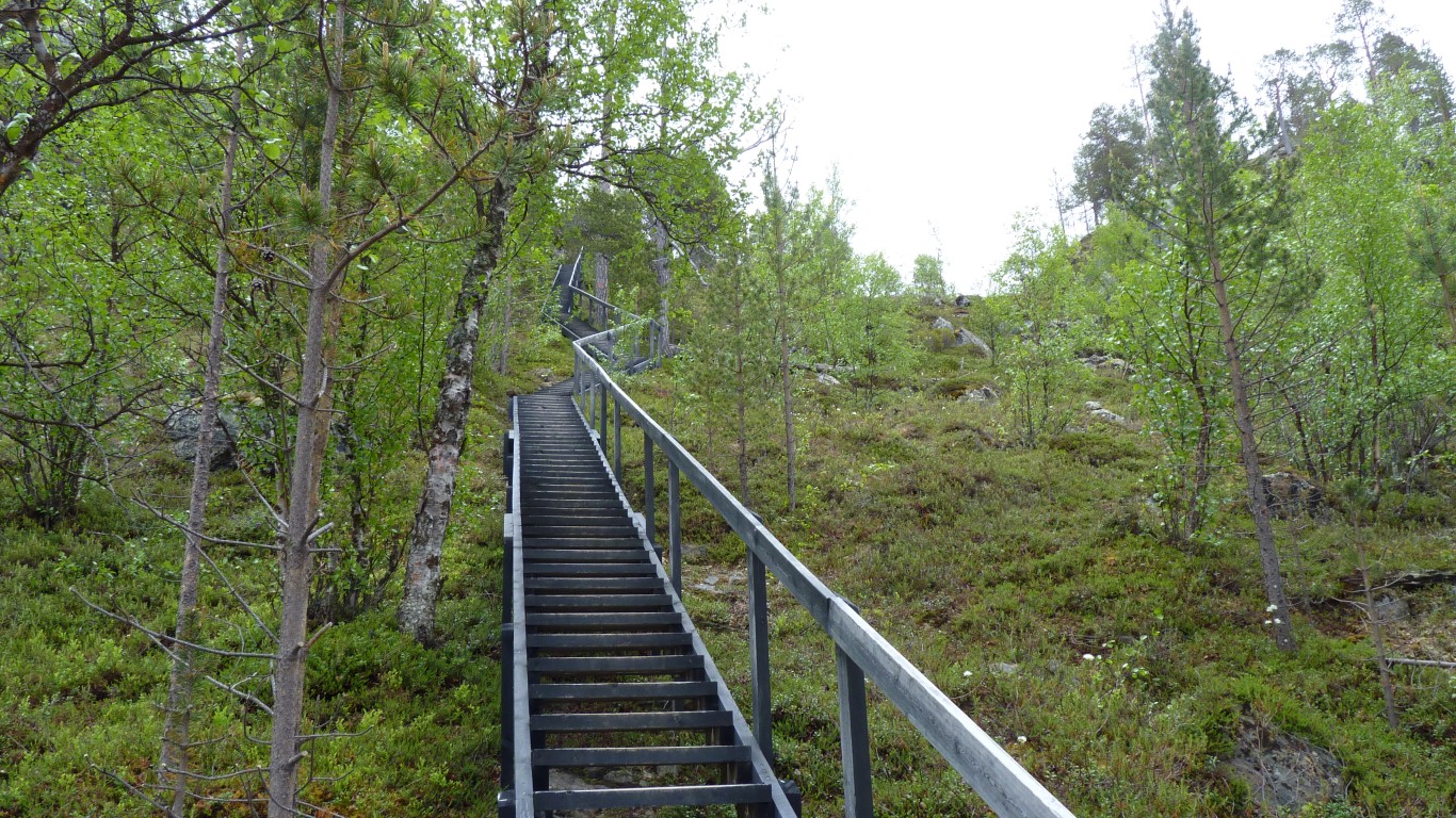
We climbed the 173 steps to begin the easy walk back to the edge of the valley.
We've been complaining about not feeling fit but managed to plod our way up the steps without the need for a pause.
Sun still trying.
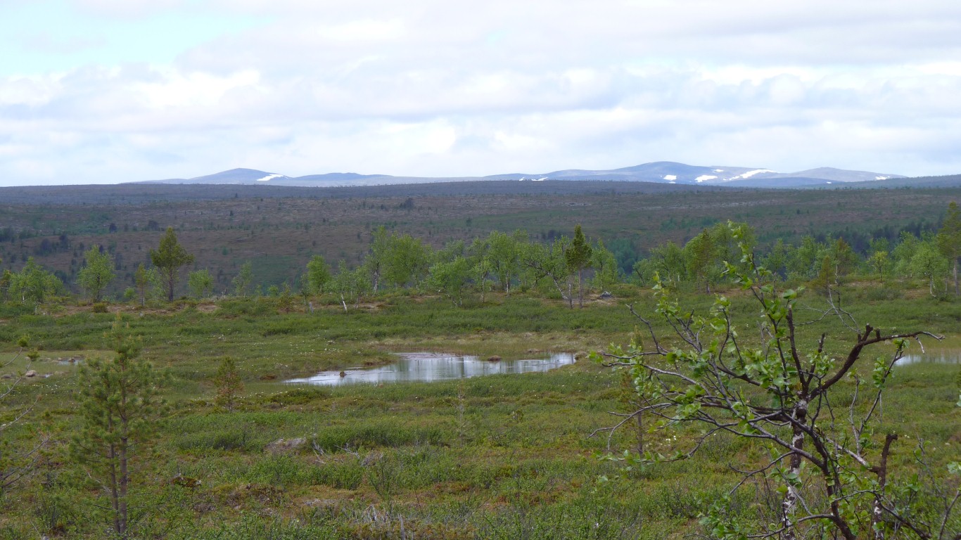
The park is treeless further west.
This patch was a bit taller than head height.
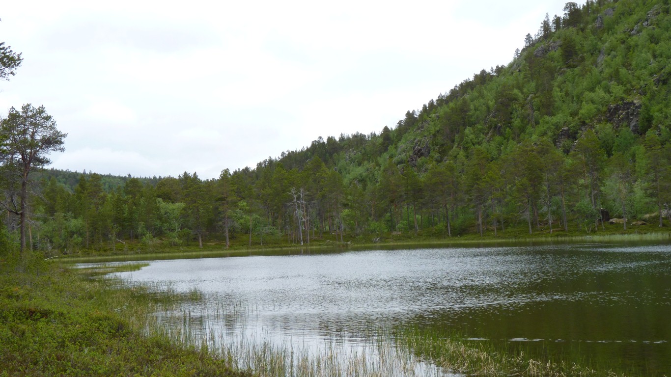
The small patches of water were a couple of feet deep with large rocks on the bottom.
Not a lot growing in them.
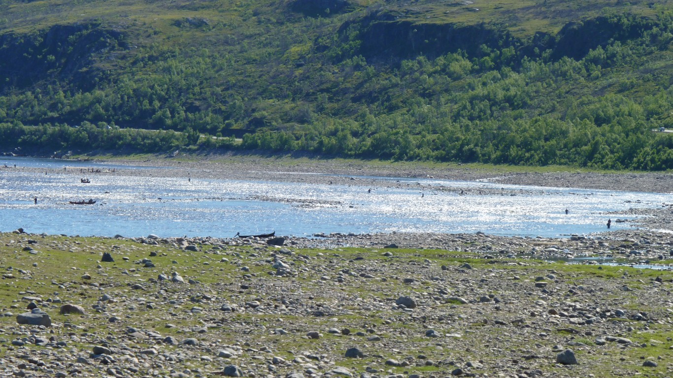
We were joined by a couple of fishermen from the south of Finland.
Like fishermen everywhere there was the story of the pike they threw back with the inevitable "it wasn't really that big".
Also another couple of fishermen turned up to clean their catch. Salmon, about 15kg. Would have fed us for a month!
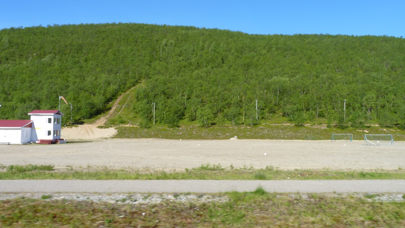
This is the airport.
Also the football / hockey field.
Tried to buy some kerosene for the primus (hopefully a better fuel than diesel) but out of stock at the hardware store.
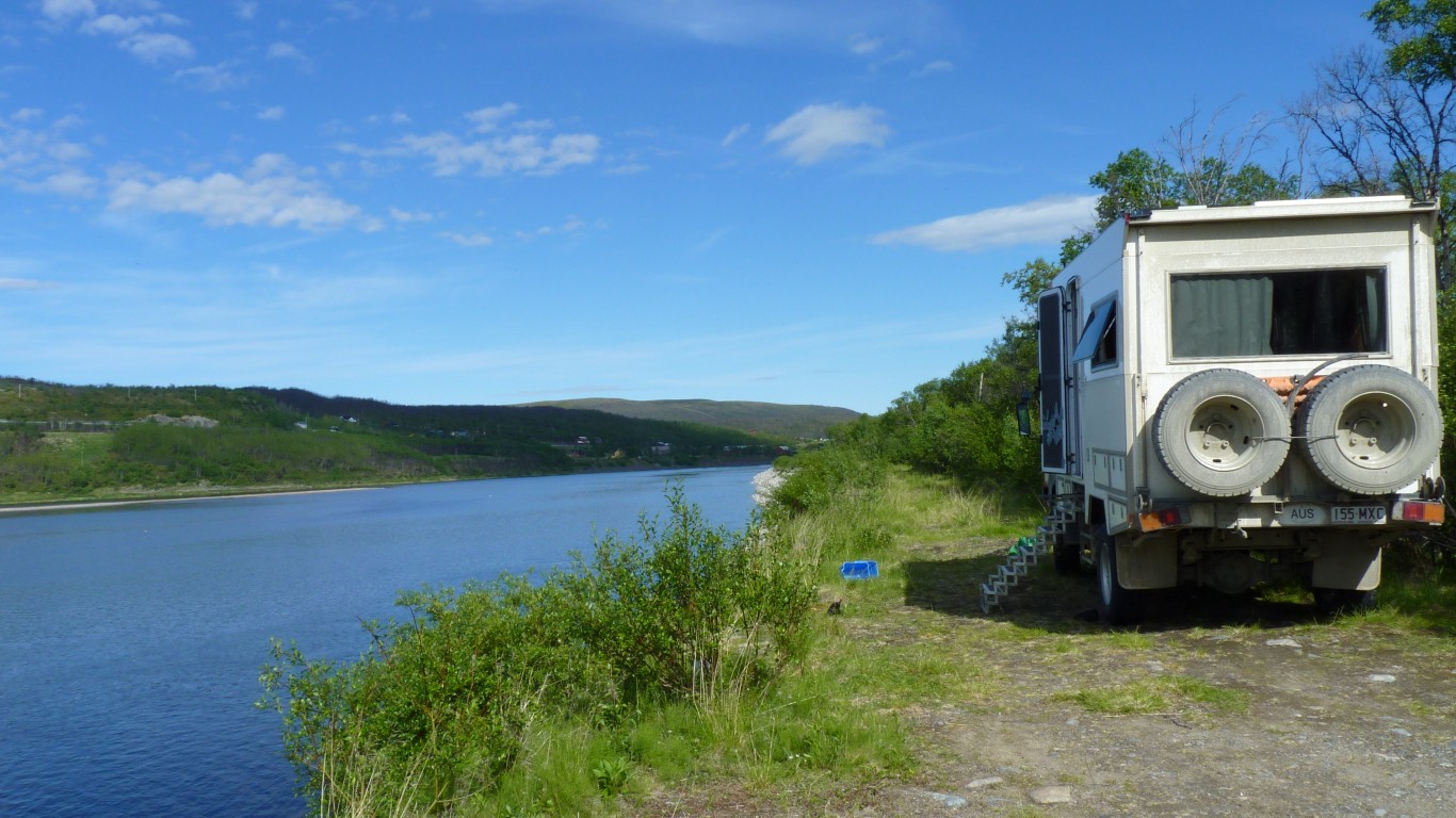
We turned right to follow the south bank to the west.
We also topped up with fuel, our last opportunity before the higher prices of Norway. But of course it was priced accordingly.
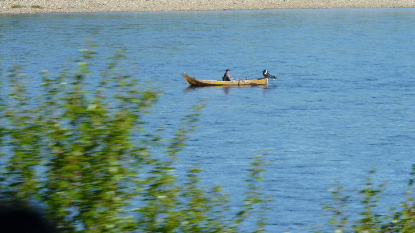
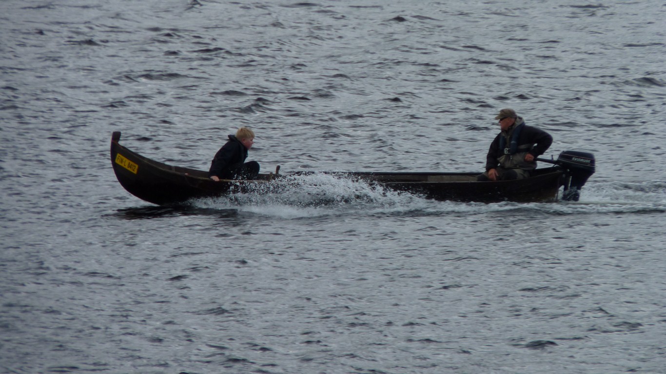
Wooden boats still - none of this fibreglass stuff.
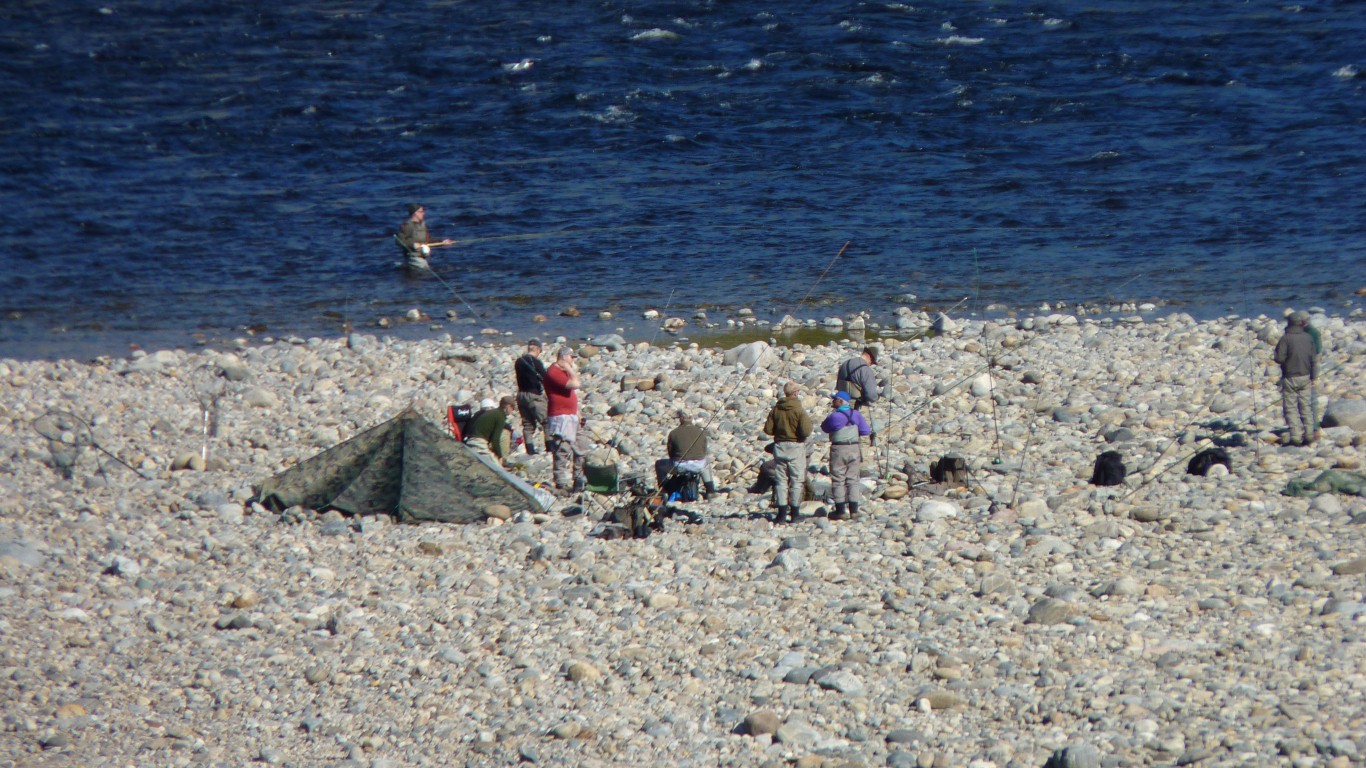
The rapids look like the place to fish.
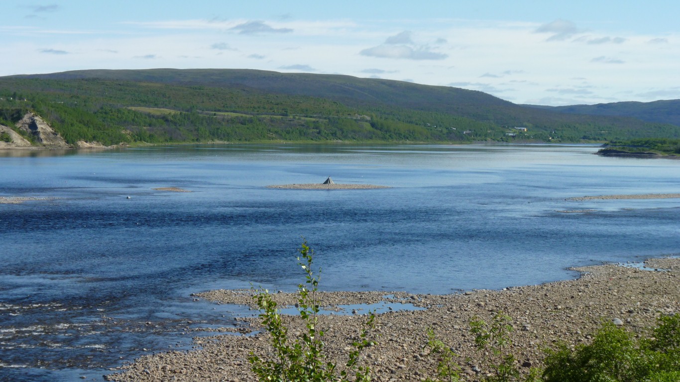
That's one of the conical shelters on the rocks in the middle.
We're not sure if its tidal this far up.
We've noticed that most fishing has been in the evening.
Reminds us of salmon fishing at the mouth of the Waitaki in New Zealand South Island. Alas, no rod, and no licence. We'll try a handline off the Norwegian coast.
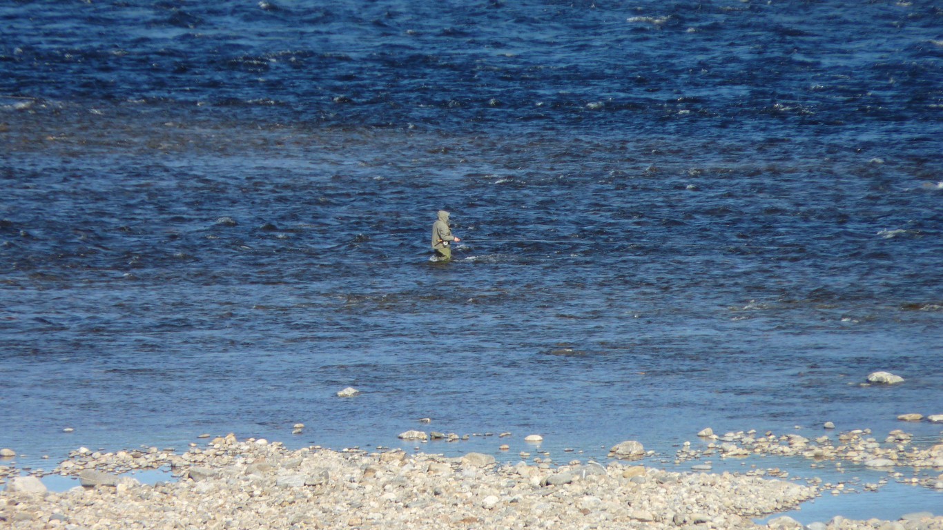
Fishing is a serious business.
Just a nice sunny day by the river. Temperature is 23 degrees C, humidity 43%, barometer 1020 mm Hg. Our magic weather machine says it will change to a few clouds. Best we've had for a while!
Sunshine seems to also mean washing. Boiled the kettle while watching the washing dry.
About 15m down to the water, unstable rocks and difficult to carry the water up.
A couple of hundred meters along the bank is a hut, with a pump.
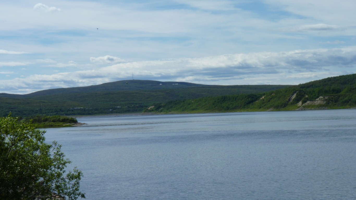
That's a Finnish TV transmitter on the hill.
Mobile phone from both Finland and Norway.
Tomorrow we'll head a little bit east then north and west towards Europe's most northerly point (the real one!).
We're a bit taken aback by north of the Arctic Circle. We expected flat treeless bog but haven't found it yet. School geography got this bit seriously wrong.
This one came up our side and looked like it had a different purpose.
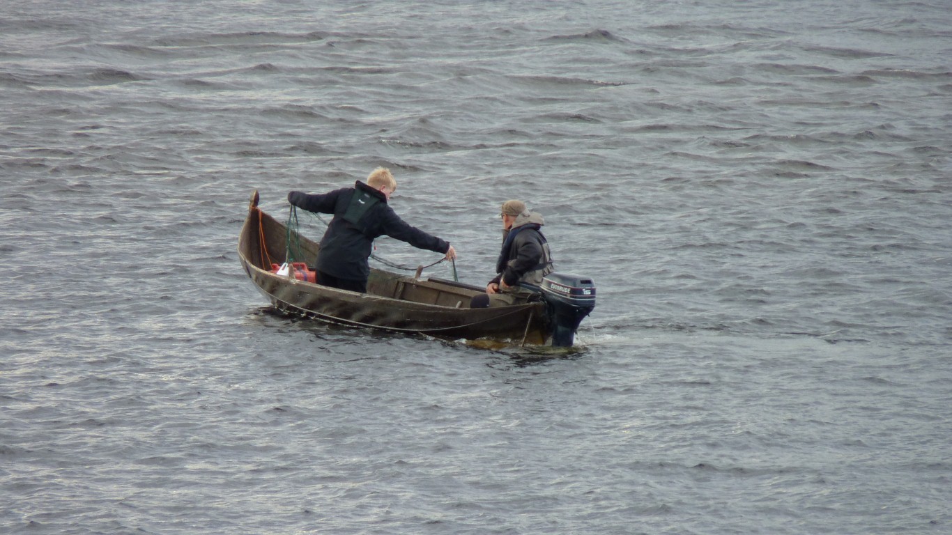
Didn't quite catch a photo of the rather large salmon being landed (or shipped ...).