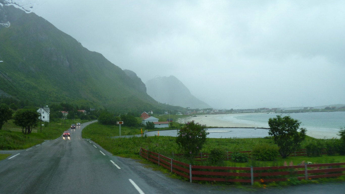
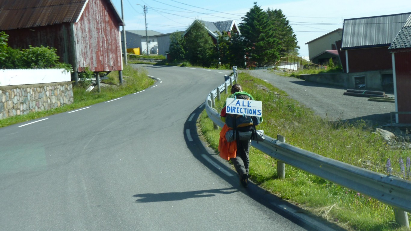
So we figured we'd head to Lofoten and if necessary back track to Narvik.
The weather was getting to us a bit and we didn't stop.
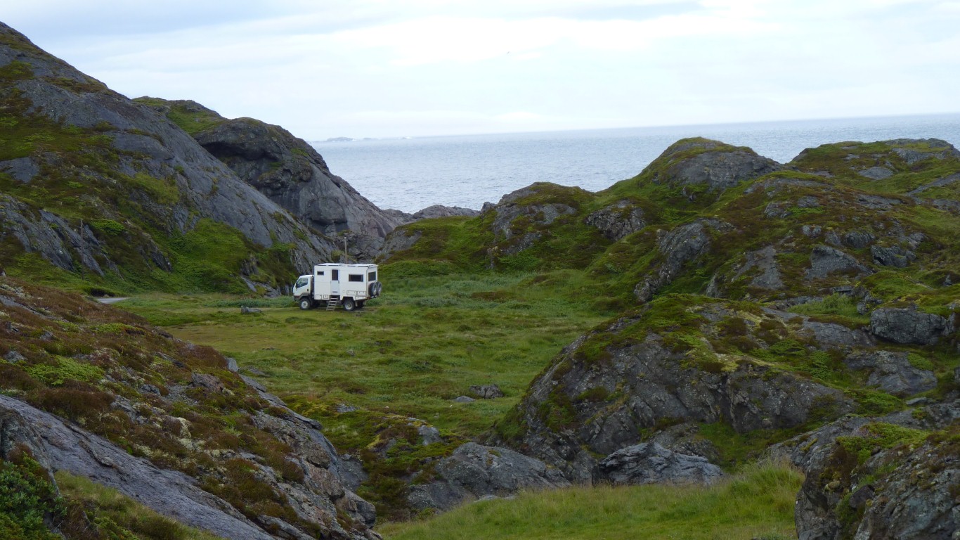
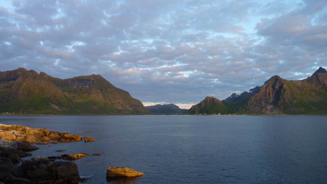
Just short of Vester Nesland.
It looked like a good fishing spot but none were caught.
We walked a couple of hours along the coast to Nusfjord. A few intermittent showers along the way. A tedious rocky track.
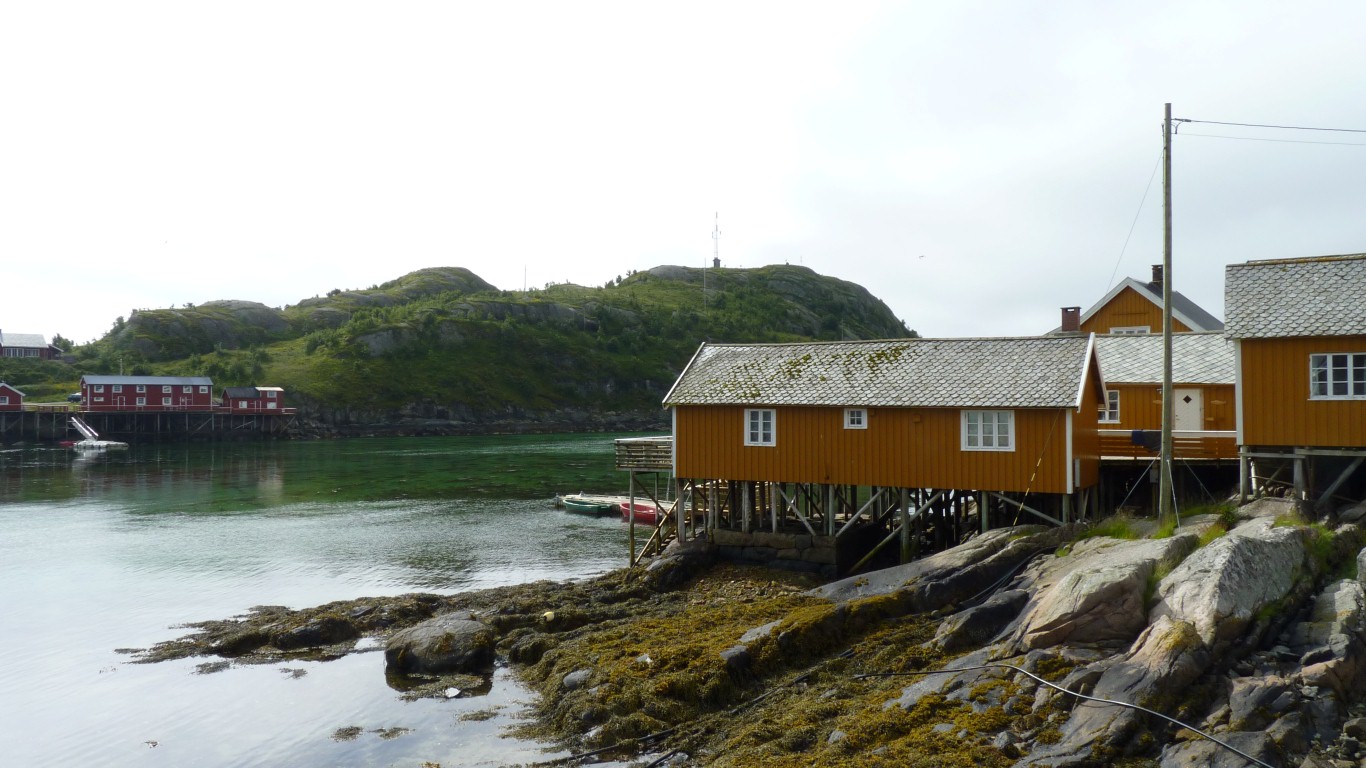
Nusfjord is a small fishing village that looks just like it was built in the 19th century.
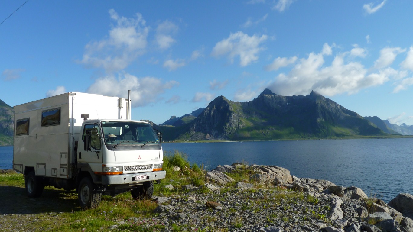
Alas we left the spare camera battery in Tardis.
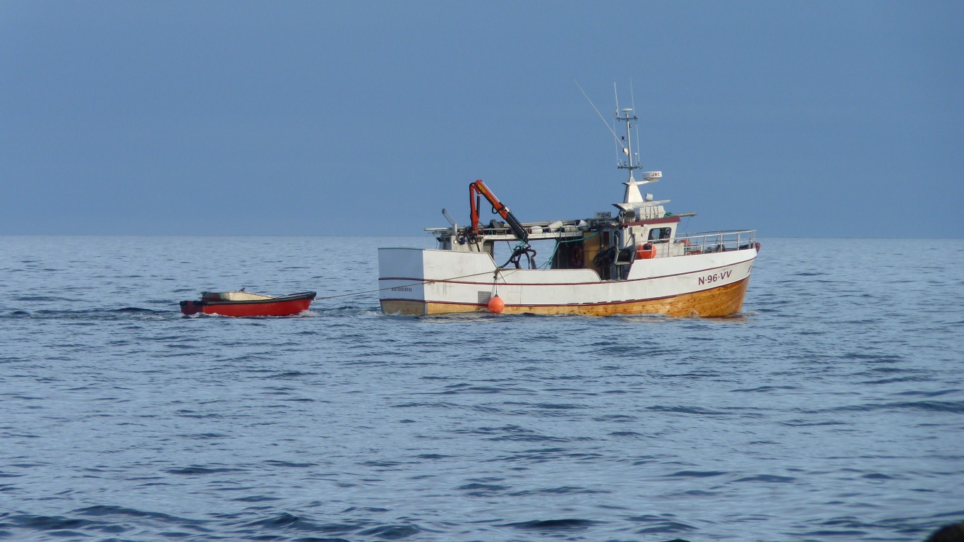
They use the small boat to hold one end of the net when they find a shoal of fish, and encircle it using the big boat.
The more successful the earlier they get to go home.
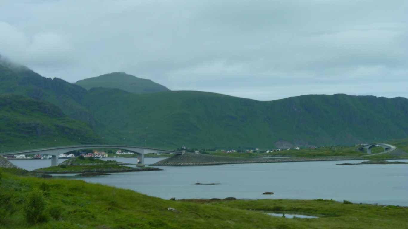
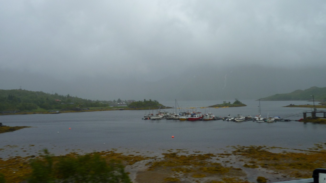
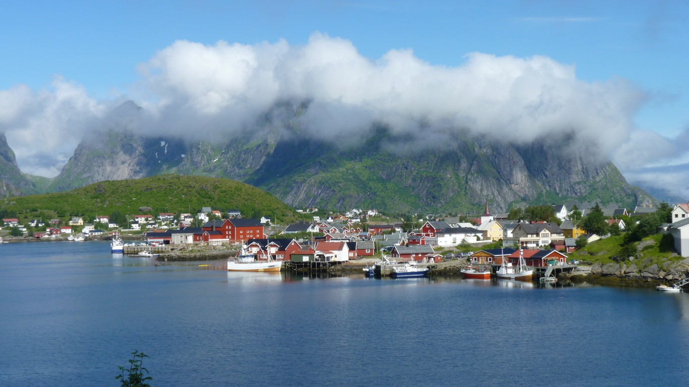
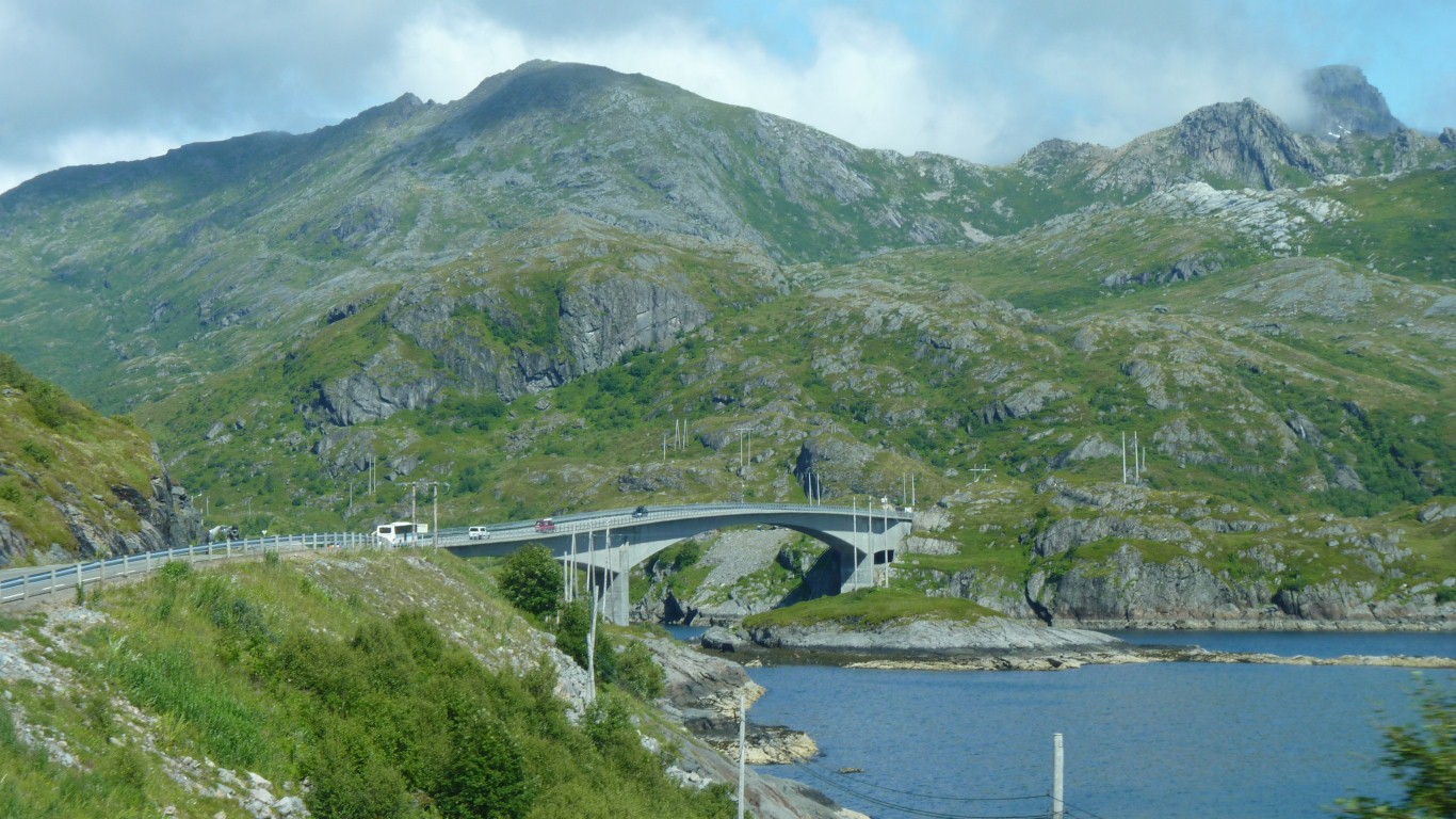
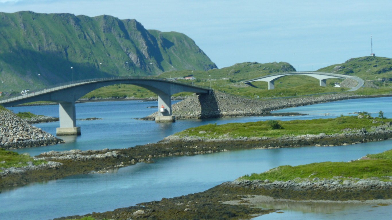
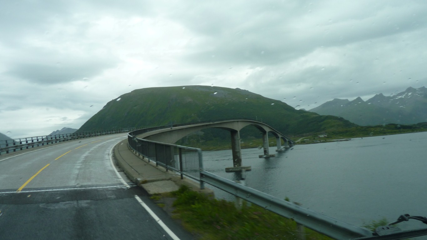
Now connected by bridges and tunnels.
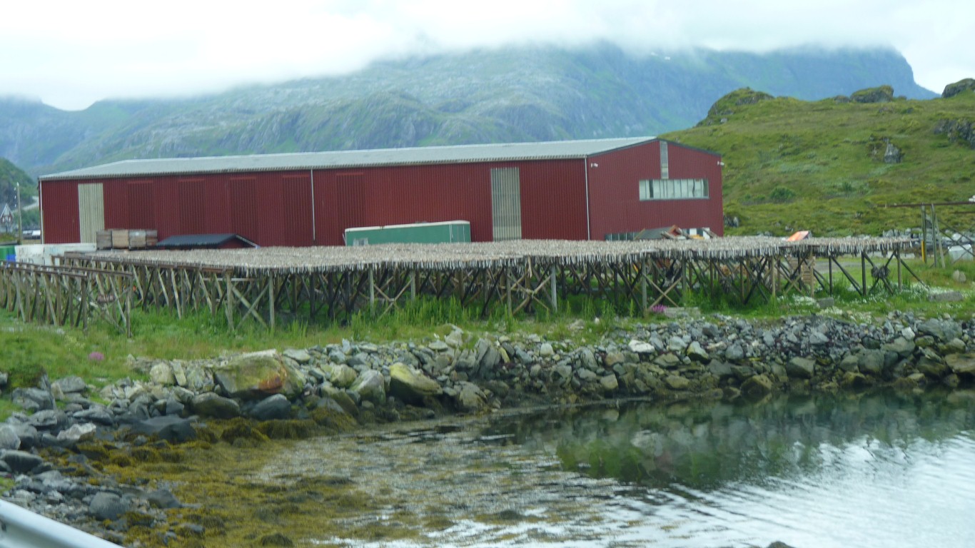
There are frequent fish drying racks. This one was full of fish - though how they dry in this weather we aren't sure.
It must be quite a chore loading the racks.

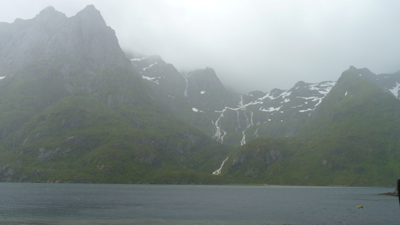
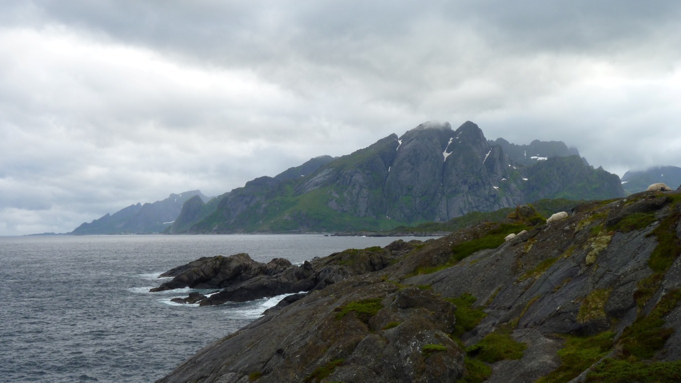
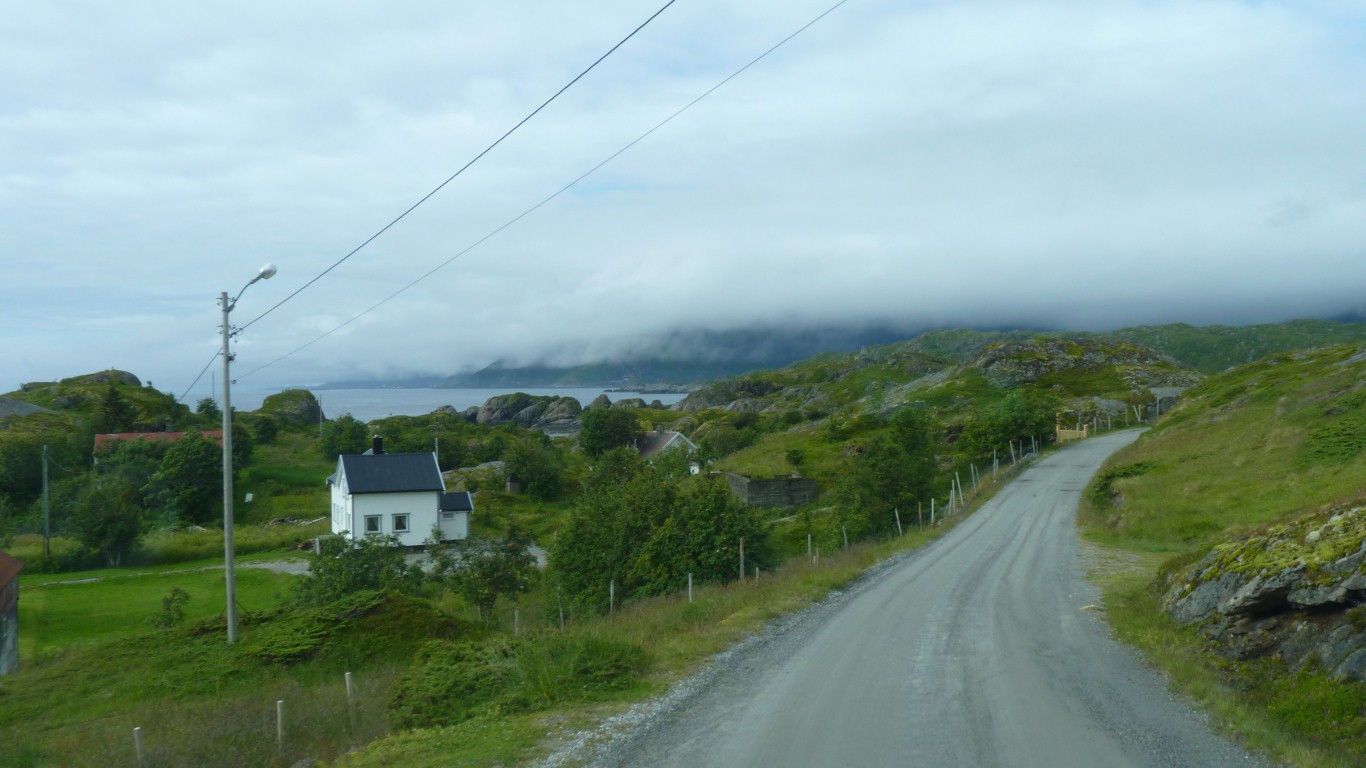
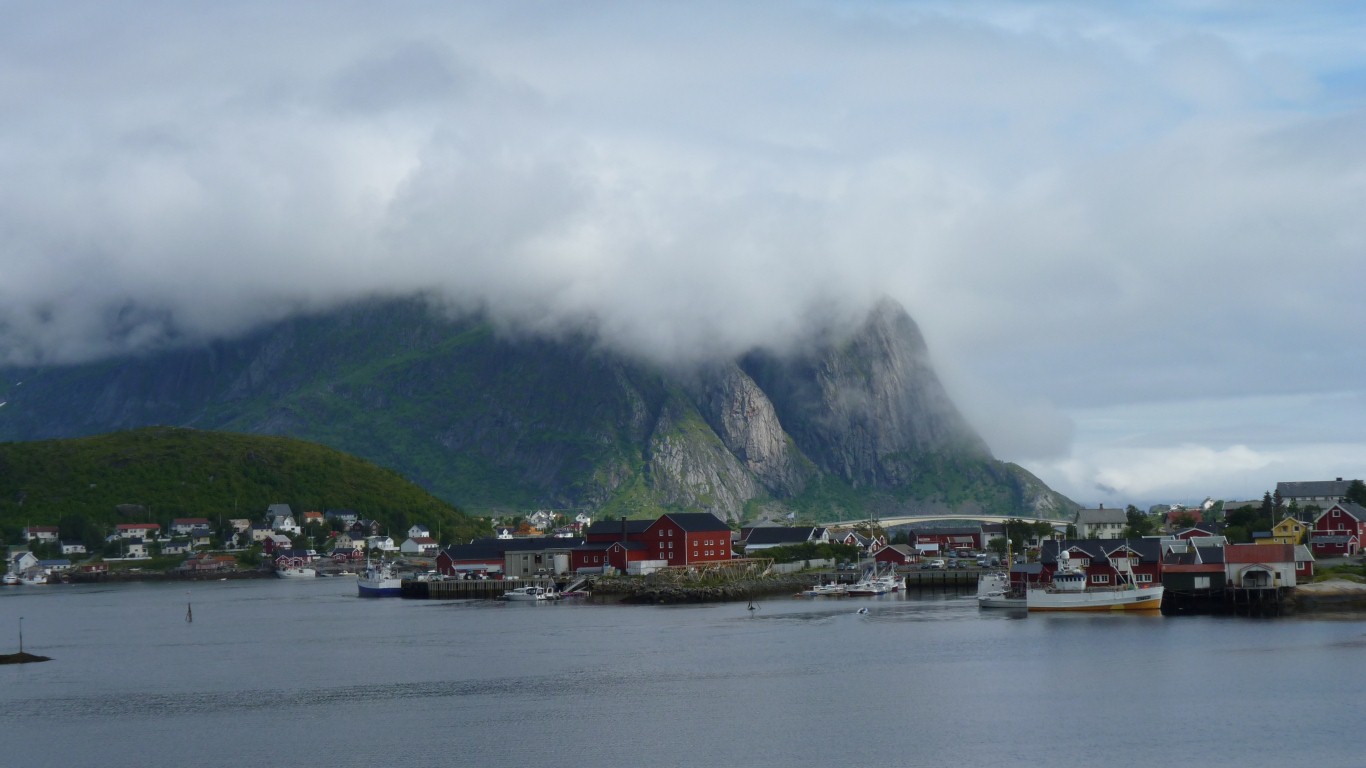
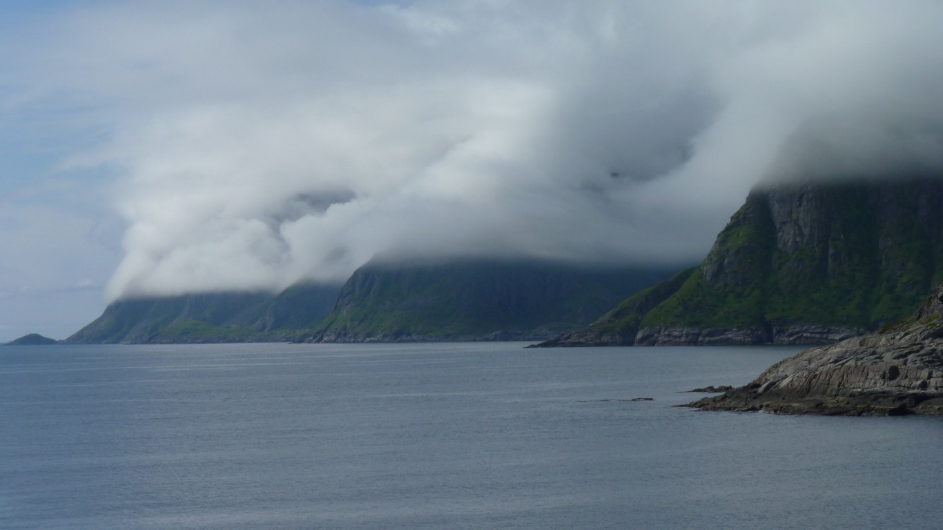
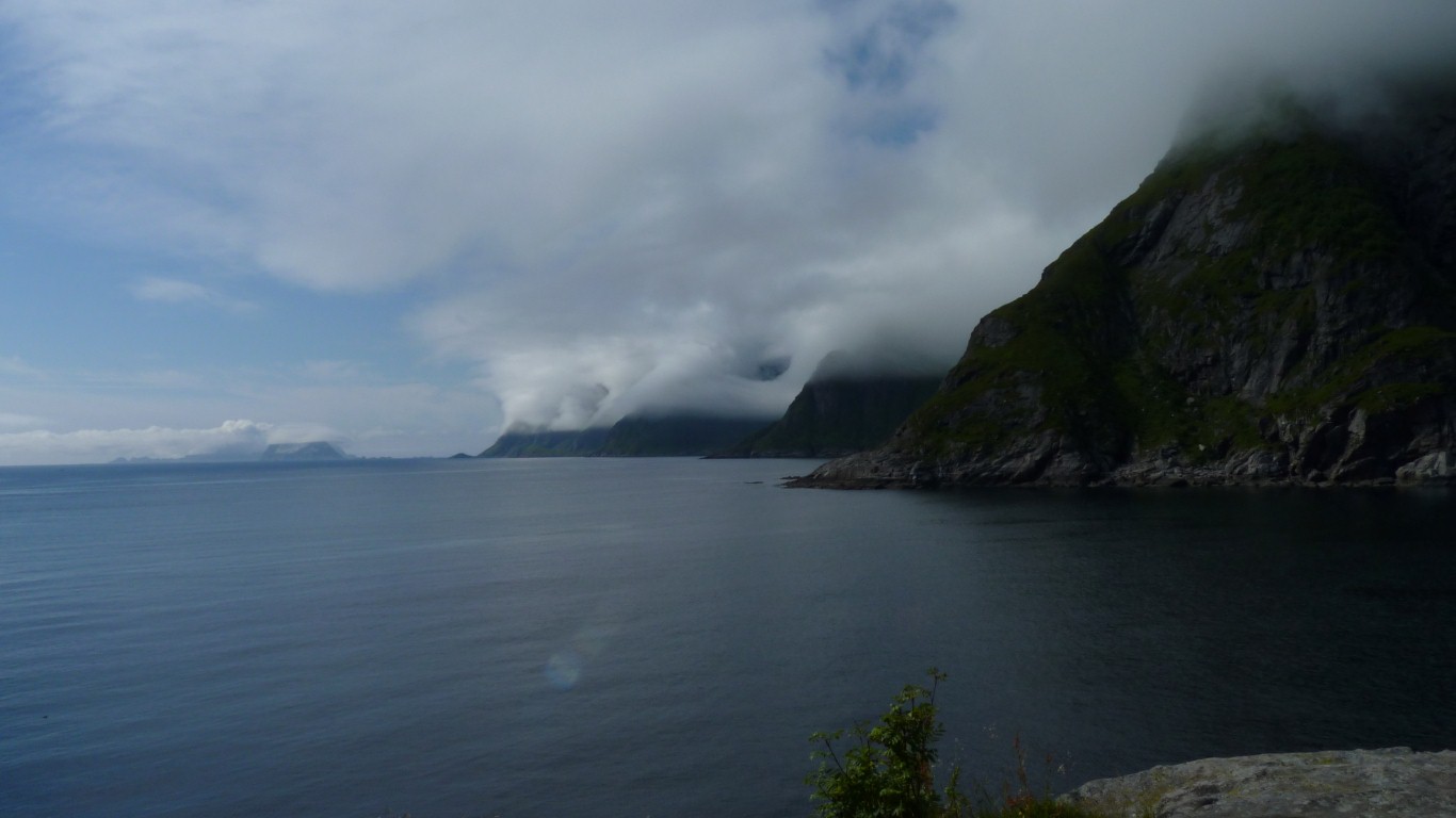
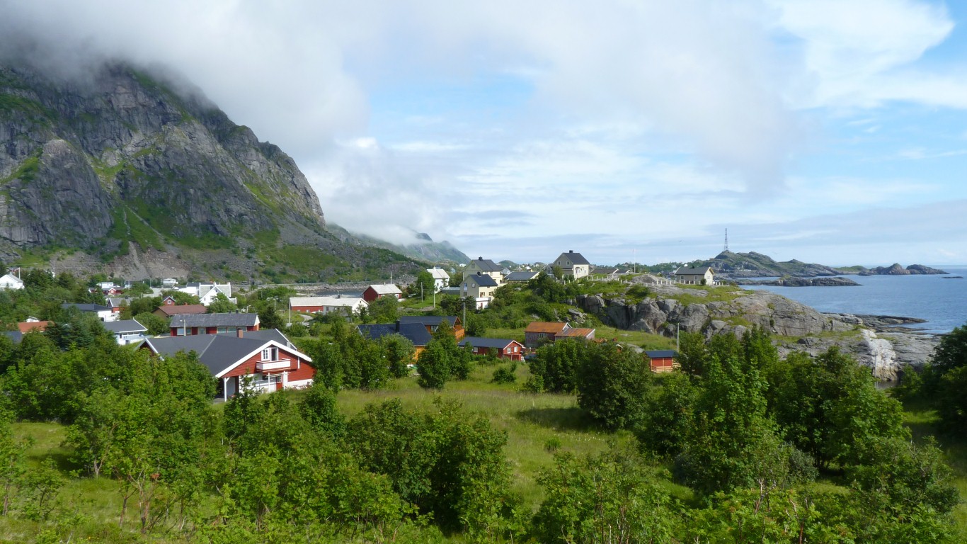
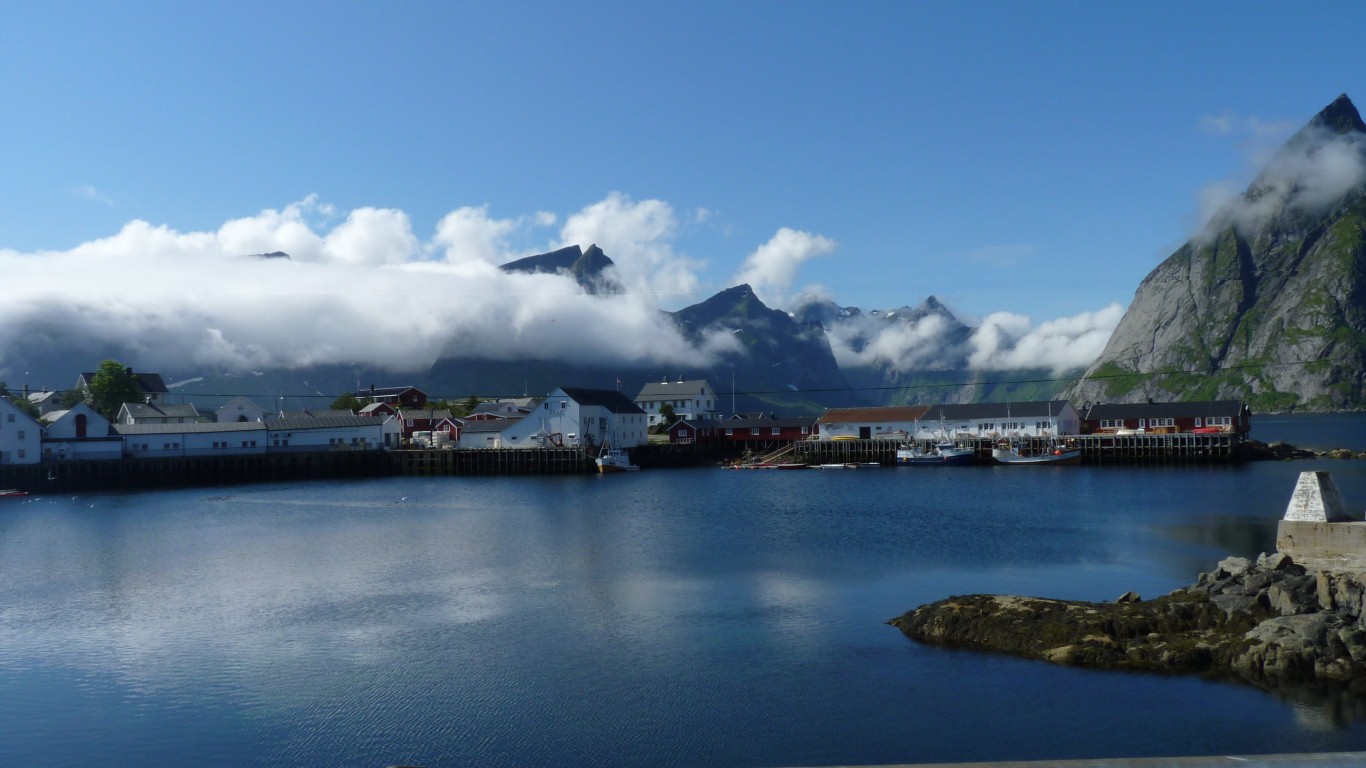
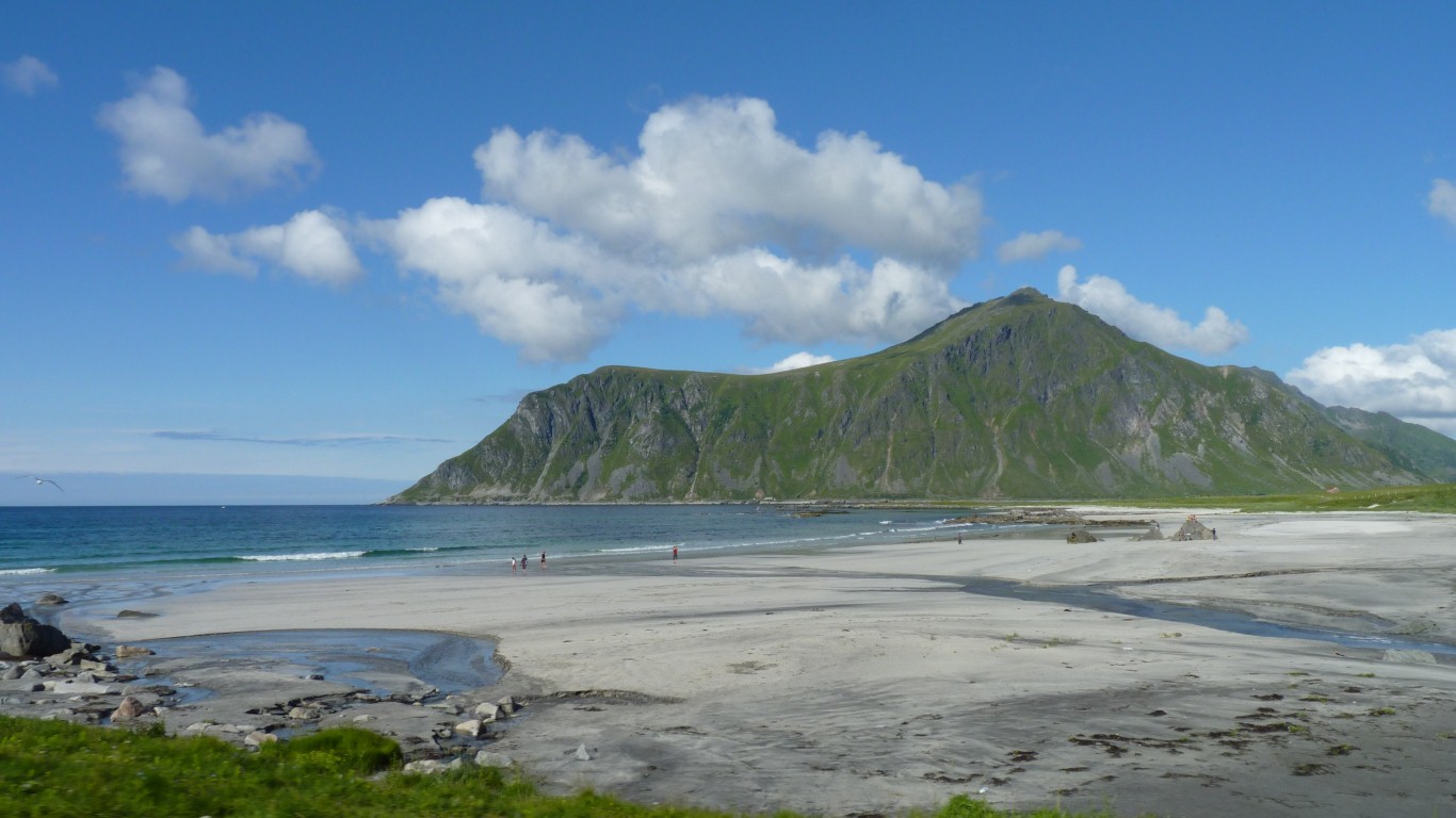
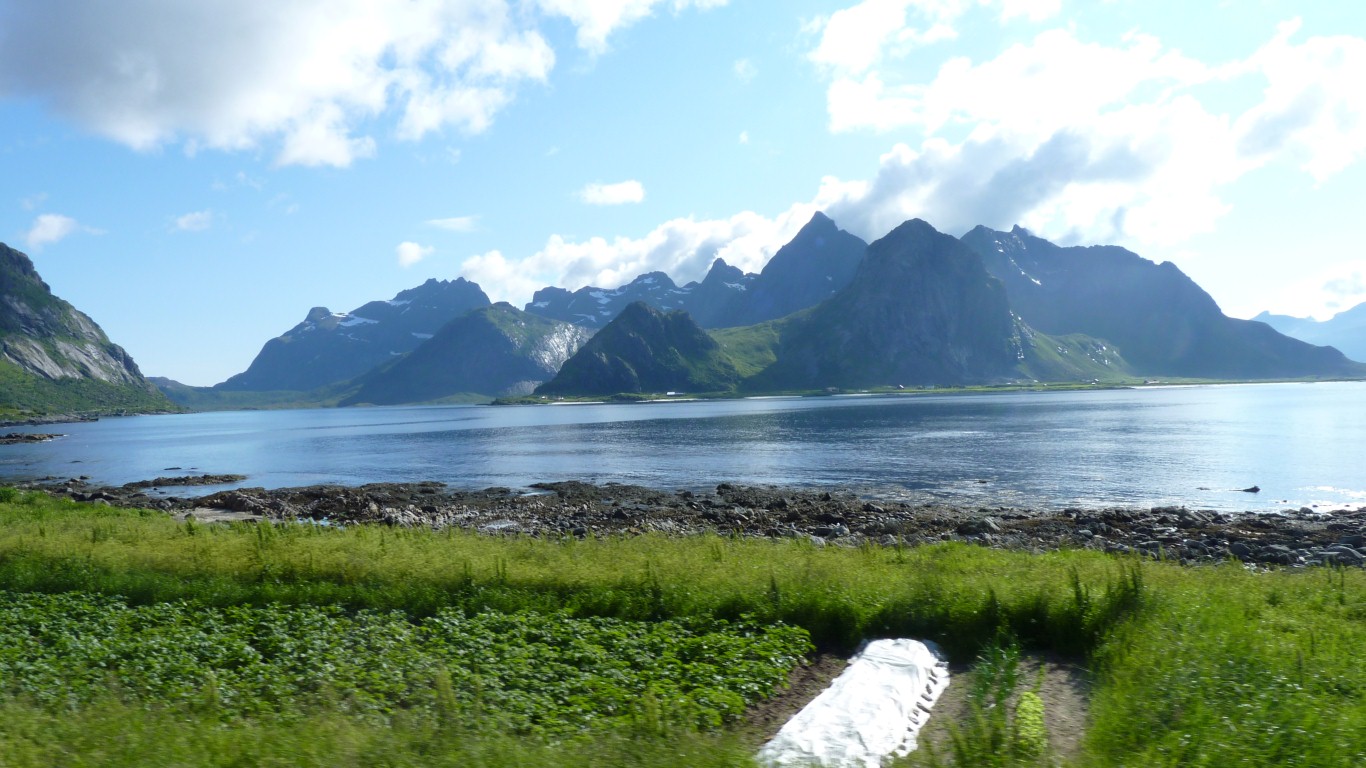
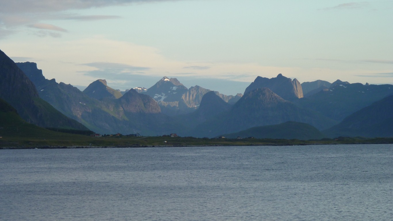
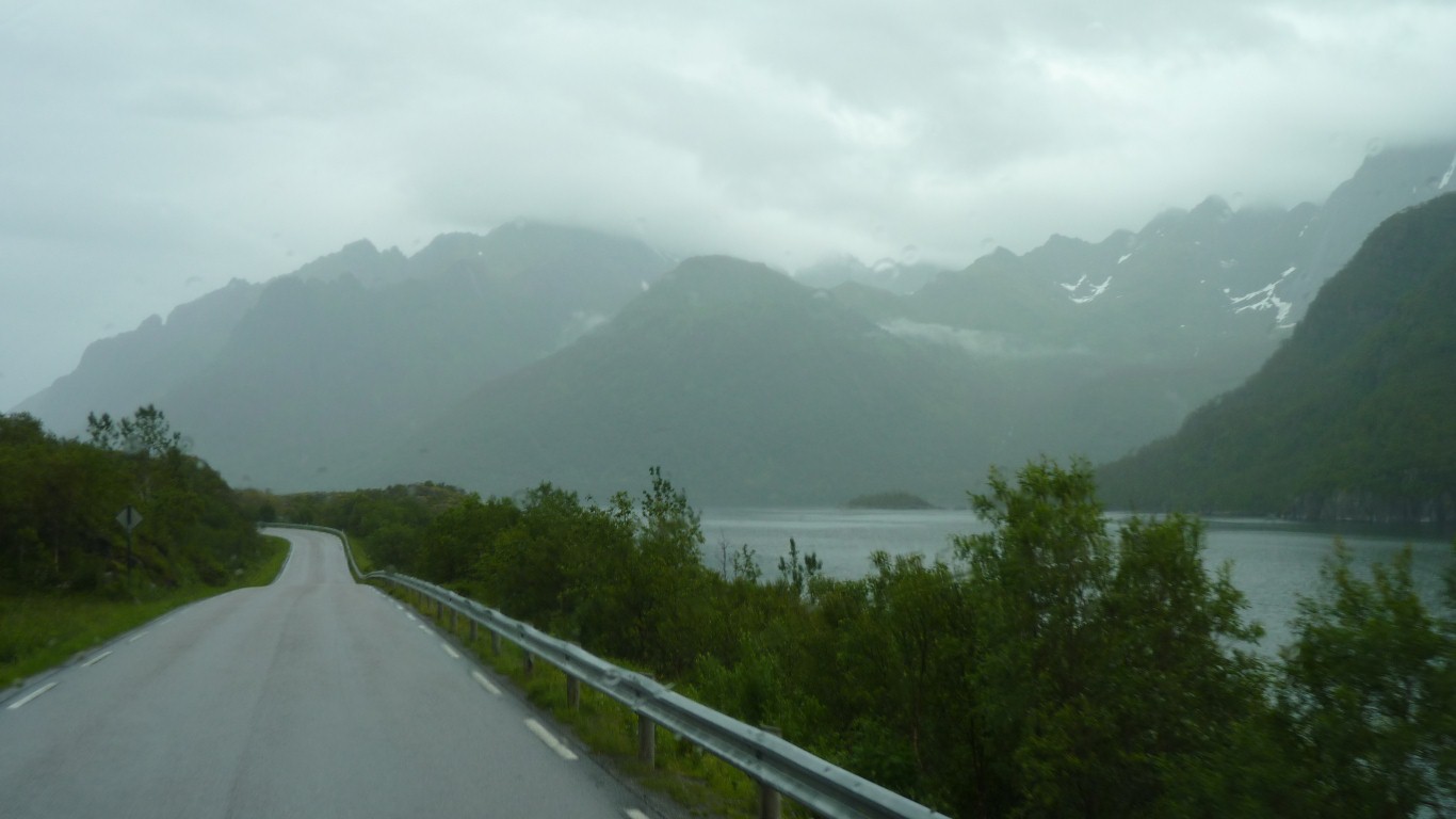
There are mountains behind the mist.
Pronounced "oar" we think though Ali and I can't quite agree on that.
From there, it doesn't matter!
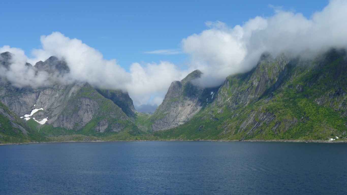
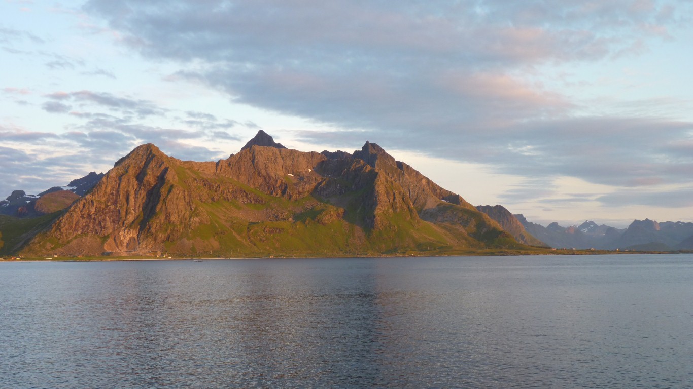
Steep.
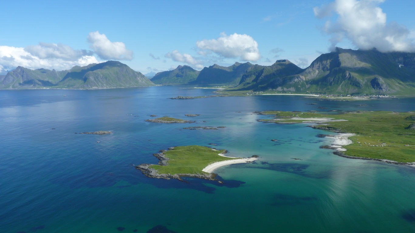
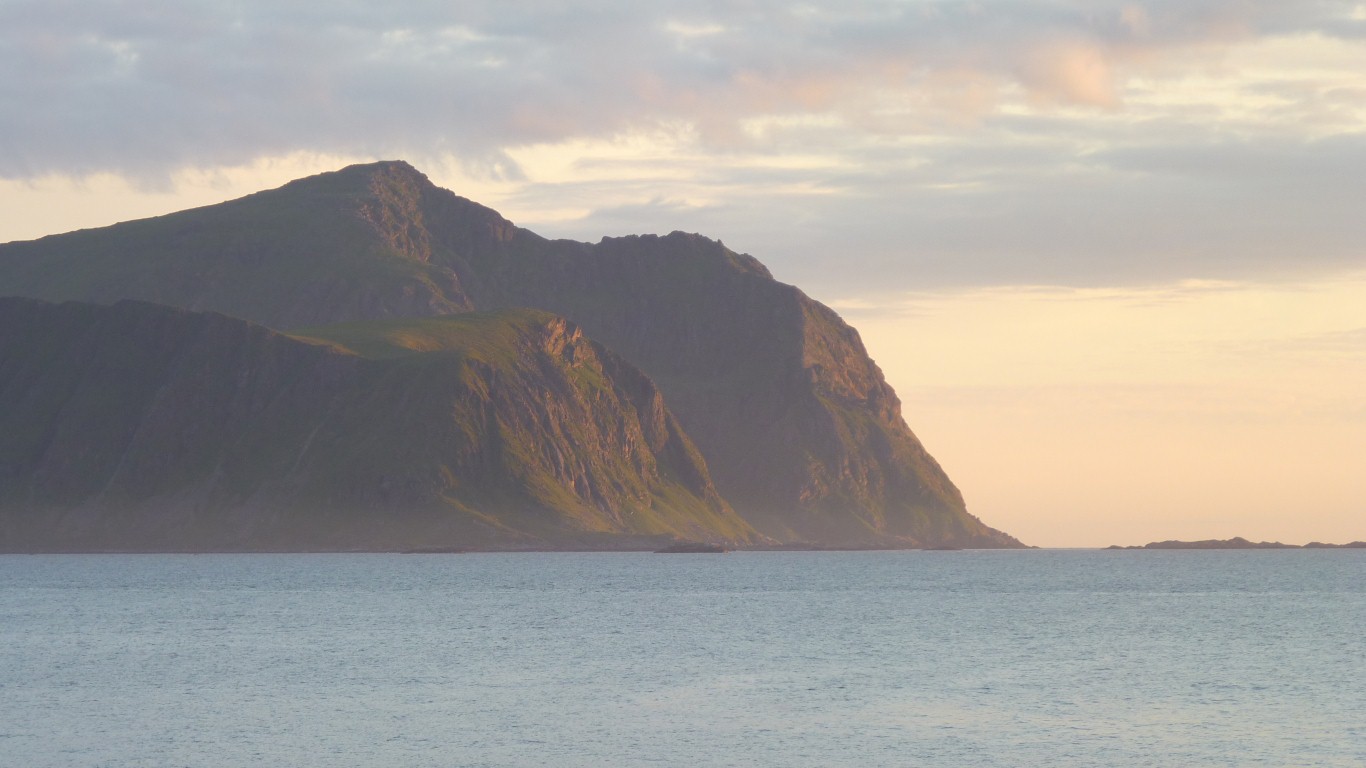
Reminded us a bit of the inselbergs in Scotland, though the only similarity was really the isolated mountains seperated by sea in this case.
We are looking for a walk described in a German guide.
Failed miserably but found a path up to the far headland.
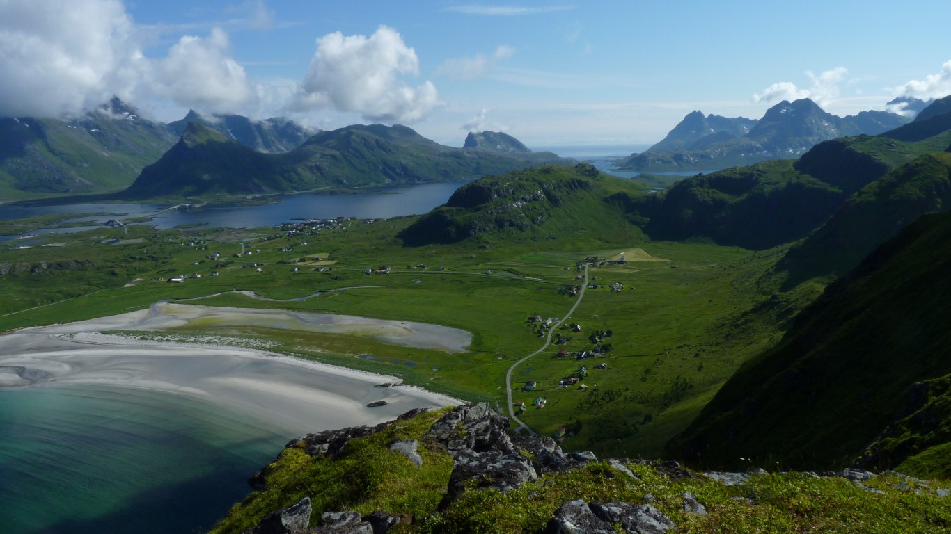
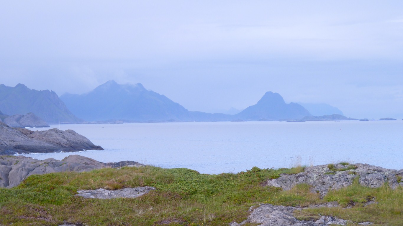
Looking south ish.
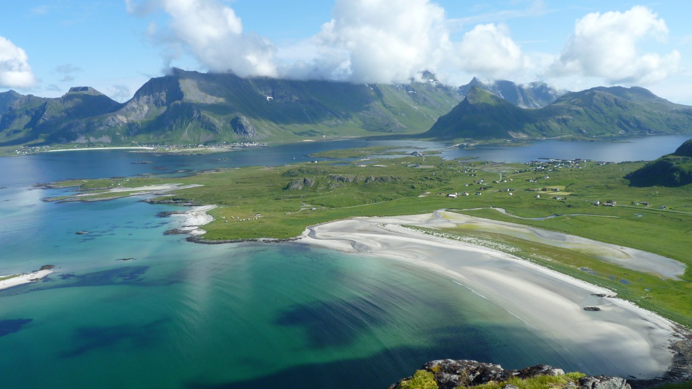
Fredvang below.
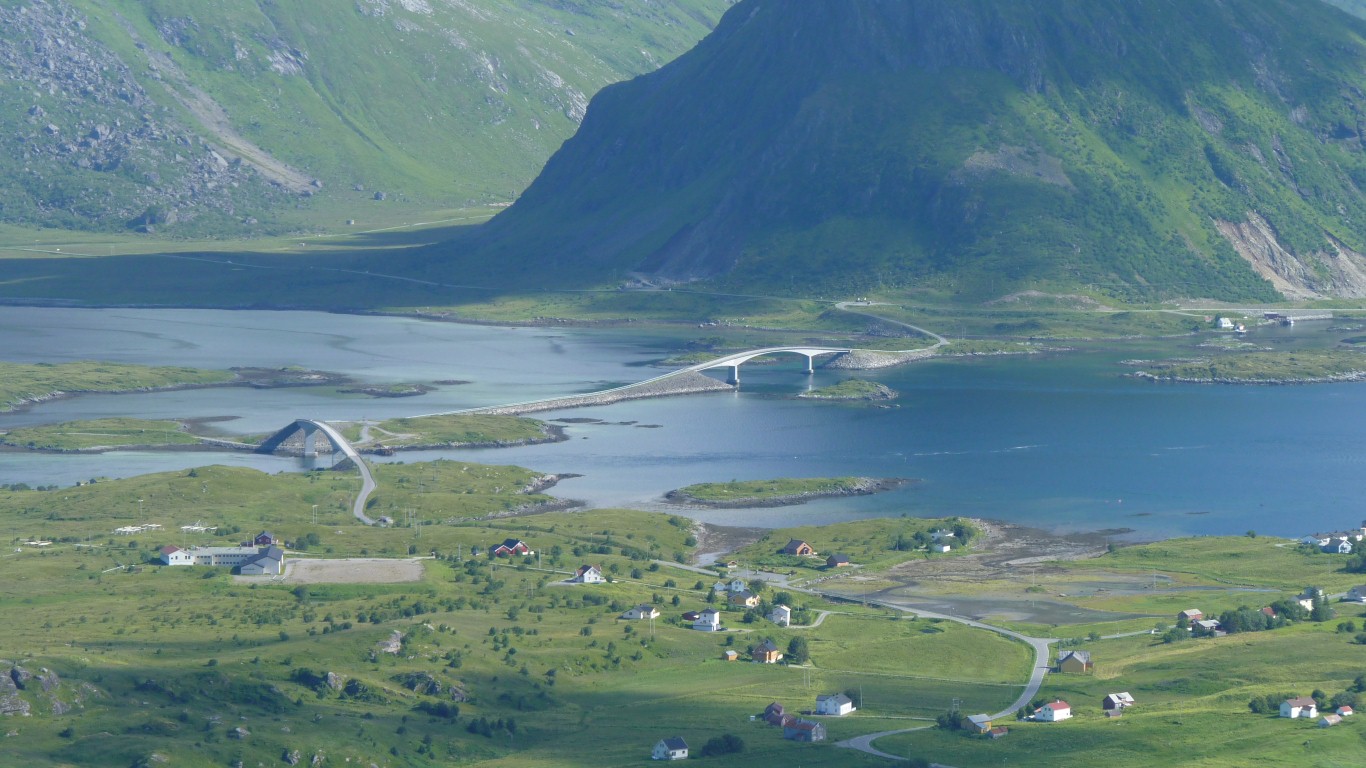
A lot of bridge for a dead end and small population.
We are hard to please some days.
Its been a while since we saw veggie gardens.
Wondered if the clouds had lifted further south.
We are headed to Narvik.