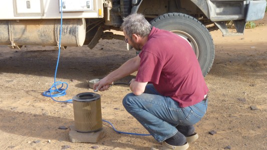
Air to blow the dust off the engine air filter.
The inside of the filter and the secondary filter are both in good condition.
We've had surprisingly little dust in the living quarters. Mostly what we tread in or blows in when the door is open.
So far sweeping and floor washing is keeping it under control. I'll eventually use the air to blow the remainder out.
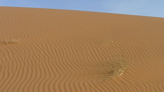
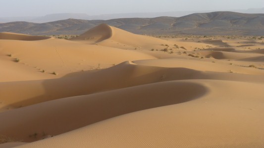
And sometimes they are curves.
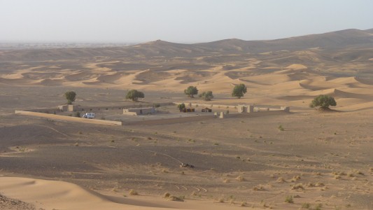
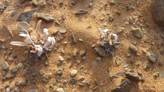
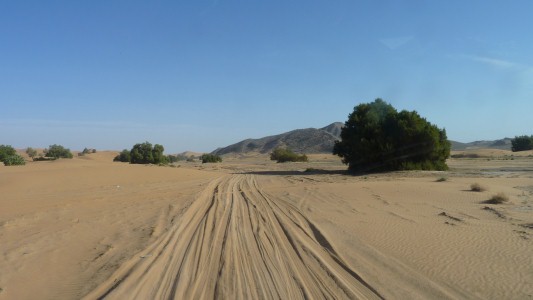
Around the eastern side of Erg Chebbi.
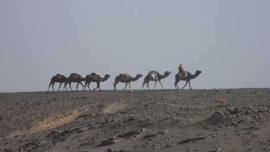
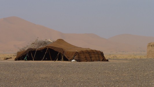
Then the dunes.
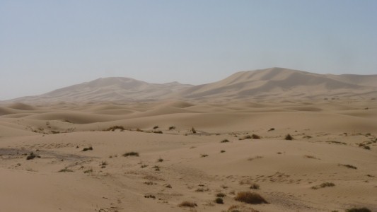
We stopped for the night.
Our maps have been a bit hazy and we've been following unmarked tracks.
Surprisingly good internet and a look at the google satellite images helped us know where we were in the dunes, which way they "flow", and avoid heading into trouble.
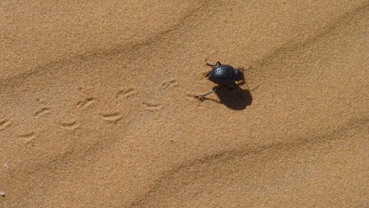
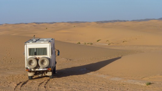
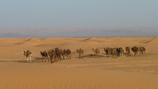
We were offered a camel ride but declined!
There were also three tourist 4wds, a tractor and trailer, 7 separate motorcyclists, and three curious children.
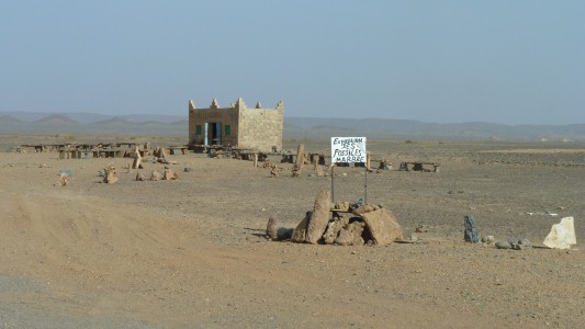
Into fossil country.
Just north of Dar Kaoua.
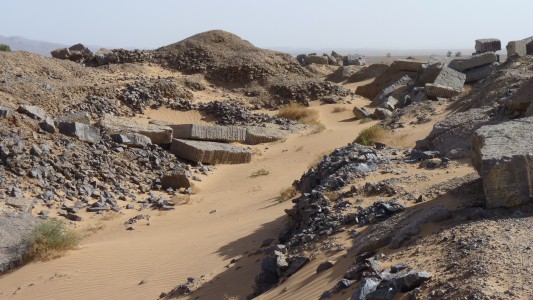
The mobile equipment looked like it wouldn't operate. But it gave us an idea of the scale of fossil mining.
There is probably more fossil mining further along the track, a large truck had come the other way carrying rocks.
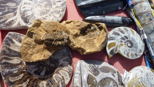
Trilobite. The ridged thingy in the middle and not from this location - three lobed marine arthropod, which means exo-skeleton, segmented, and jointed appendages,
Amonites. The cut in half spiral thingies, more related to cuttlefish and octopus than shellfish, the segments evolved over time so experts can tell the age.
Orthoceras. The long cylindrical things that would have a mouth at the blunt end. Simplistically a straight amonite I think. Not to be confused with the younger baculites which aren't seen in Morocco.
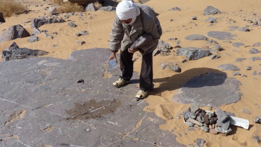
About 390 million years old. Give or take a few.
We broke open a few rocks to expose amonites and orthoceras.
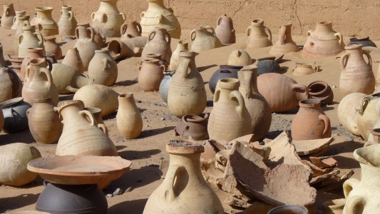
Metal is used these days.
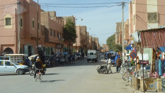
Municipal Camping was a bit of a disaster here.
We tried it for an hour or so but then decided to head south again to Merzouga.
"Camping" was next to the local swimming pool, water and loo were 150m away shared with the pool (as in pool cues) hall.
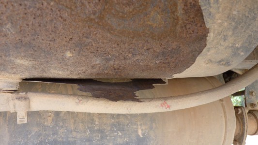
Looks like its nicely hidden the rust underneath.
Looks like I'll either have to replace or at least strip it completely and rust treat.
Or simply blank it off and rely on the original tank.
I wonder what the inside is like?
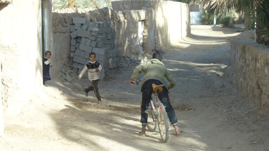
Our bicycled guide stopped to remove 2 year old from the road.
Next out of the house were two teenage girls with the most wonderful instant spontaneous laughter and smiles. Some of the nicest memories aren't captured in a photo.
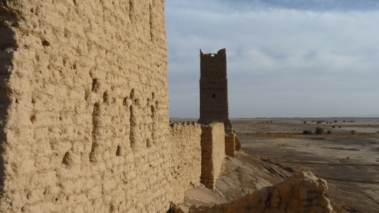
We struggled to leave our guide but all became evident a couple of hundred meters past the end of the village.
Dar Aflam (?) is abandoned. A small kasbah. Interesting location atop a rocky outcrop with forever views.
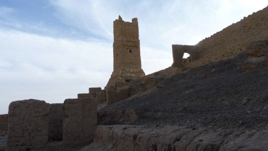
We climbed halfway up the inside - to where the steps ran out and the roof had collapsed.
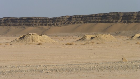
We've passed the occasional pipeline breather, and also drove alongside a pipeline north of Dar Kaoua (near the fossils).
We suspect these evenly spaced workings (about 50 in a long row) are connected water wells.
Sorry Peter, all we can find about geology here relates to oil. Perhaps a sad indictment of western priorities.
Having said that the rivers have flowed in fairly recent times. But it looks like desert to us and quite possibly old water.
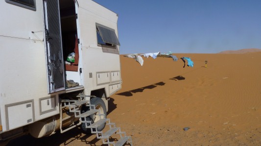
An auberge just south of town, next to the dunes.
The spade finally came in really useful as the other end of the washing line.
A bit draughty but it dried the washing in an hour.

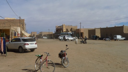
The "supermarket" is at the northern entrance to town, a bit far for us to walk we'll visit it on the way out.
We bought orange juice, bread and veggies.
Our auberge also supplies us with bread - really all we need.
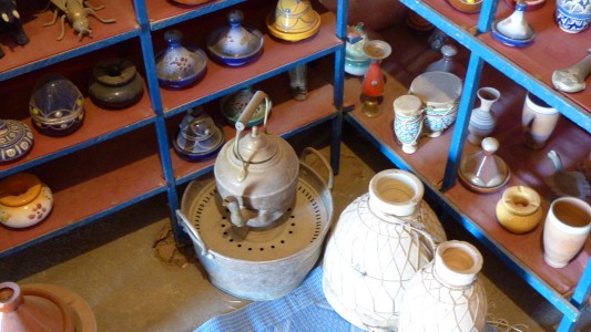
After listening to tourist description of evening meal we were reminded of the use of the jug and hot water for washing hands.
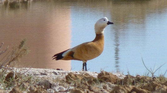
And a lone pair of geese (or ducks).
We are totally stumped as to what it is having paged through pictures of all the geese and ducks seen in Morocco.
Edit: its probably a ruddy shelduck (brahminy duck in India).
On occasion there's a lake to the west which is a bird haven. Sadly its currently dry.
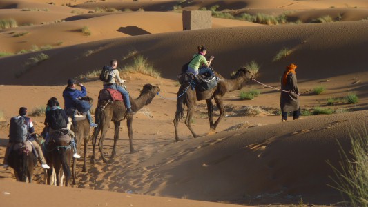
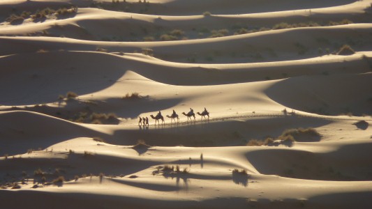
The flexible lady sitting on the first camel apparently had no aches and pains, unlike those with legs dangling.

Just a bit soft and loose in places.
Though someone had managed to get a quad bike up to the top. Looked quite easy with the right technique.
I went for the slightly less effective "2 steps forward and 3 back" so lagged behind to take the photo.
We needed the water when we got to the top.

In the background is Jebel Ouafilal on the far side of Oued Ziz. On top is the fortress we visited.
We can pick out the wall and building remains.
The smaller enclosure is visible at the left end of the ridge.
After a bit more research the rock art "chariots" were possibly local status symbols due to the lack of roads (no Chinese Emperor to standardise!). The animals were cattle. Drawn somewhere in the couple of centuries BCE. The fortress is later.
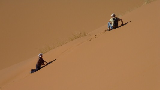
We are perhaps a little grateful no-one was taking photos of us.
A couple of Aussies from Sydney in a UK motorhome found us. But left before Australia day.
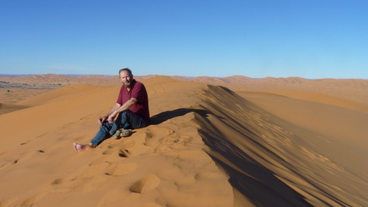
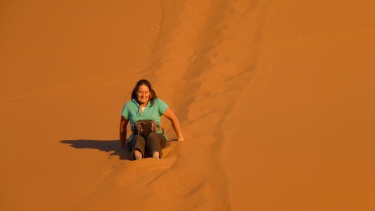
The sand is wonderfully dry and "non-stick".
Therapeutic! Just the right temperature.
The crocs are Ali's and they refused to slide.
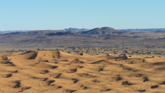
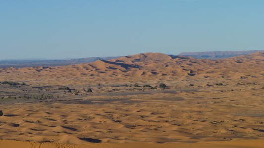
The line of vegetation just beyond the dunes is where we drove.
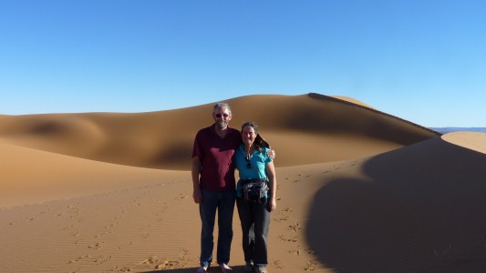
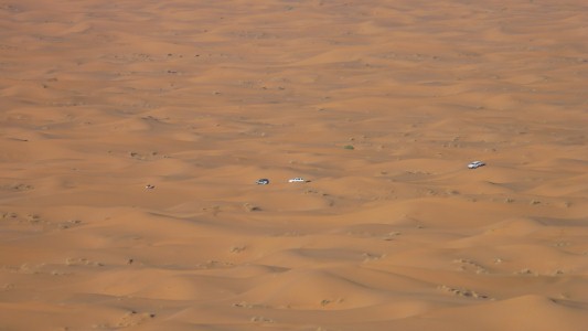
The east west track is marked in our gps.
There's a quad bike leading the three 4wds.
A party on camels were going the other way.
we forgot the plastic blue and white checked tablecloth - the one that Jennifer and Rachael used in the snow in 1997!
Meanwhile we'll watch the river gauges through the internet as another 100 year flood advances through Queensland.
Probably not as bad as 2011 that interrupted our trip planning and absolutely nothing we can do anyway!