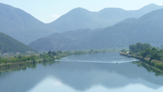
Ploce is first opportunity for any reasonable agriculture, beyond olives, we've seen.
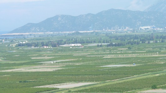
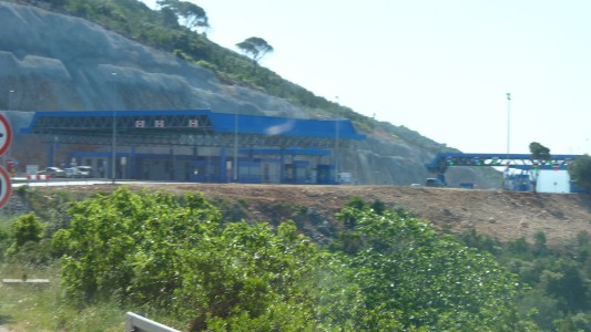
Four, fairly painless, border posts.
Though Croatia and these posts are the first in all our travels to check our vehicle insurance. Fortunately we have a European "Green Card".
We also had an experience unique among travelers. A Croatian (or any) border official who apologised. For taking so much time processing our Australian documents. All very pleasant and let us help with which numbers were which.
Note to self ... "don't become blasť about borders!"
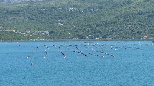
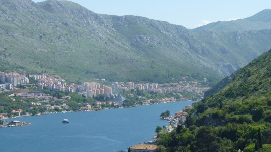
I visited in 1978 and thought it would be nice to revisit with Ali.
However, the campsite nearest Dubrovnik is now a hefty A$40 per night. To add insult to injury they offer "camping cheque" discount at A$18 which was economically inaccessible to us and which we decided not to subsidise. Maybe fine for a short summer holiday but not for long term independent travel.
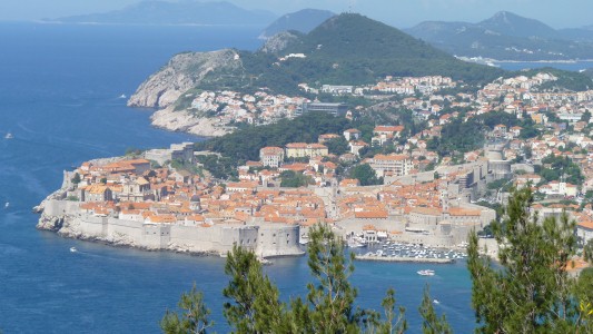
However, we decided other places beckoned and contented ourselves with a view from the road south.
Last time I was back-packing. A ferry from Rijeka to Dubrovnik (which isn't running yet this year and may close completely). Then a ferry around a very closed Albania to Igoumenitsa in Greece.
Wonderful memory of entering the old harbour on the ferry.
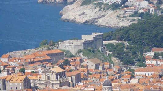
A result of rebuilding after the 1990's Balkans War.
No photo here but the mountain overlooking (now with cable car) would have provided an ideal platform for Montenegran (Serbian) seige.
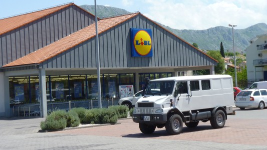
So we rid ourselves of the last of our Croatian Kuna at the Dubrovnik Lidl. And when that failed because they didn't have enough of what we needed, we finished off at the Getro (cash and carry) opposite.
The 4wd Bremach in the photo is a bonus.
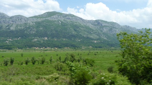
An instant change in the valley floor.
A different shade of green.
Montenegro has a population of about 700,000. A tad less than Brisbane's 1,000,000.
Like most of the Balkan countries that were one time part of Jugoslavia its had a checkered history.
After the war it became part of Serbia Montenegro but left a few years ago.
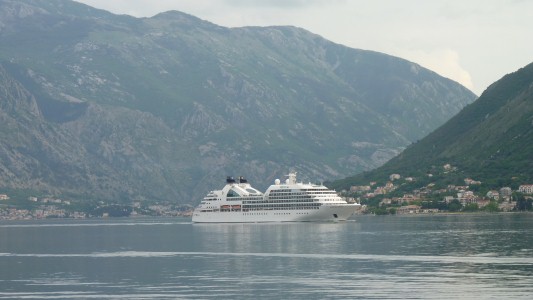
We camped by the side of the road part way round.
Kotor is another medieval walled town.
Remnants of Genoese and Venetian trading.
Whereas the Chinese Emperors taxed salt the Venetians maintained their position by monopolising its trade.
The Seabourn Odyssey was just leaving.
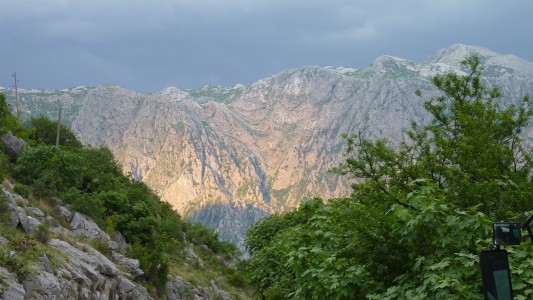
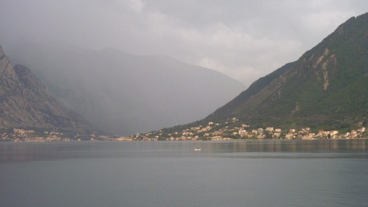
We'd wondered why we have been seeing so many lightning conductors.
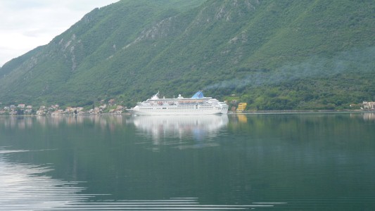
The exhaust hung in the air as a layer across the whole bay.
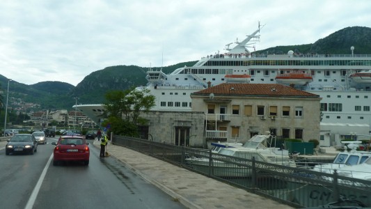
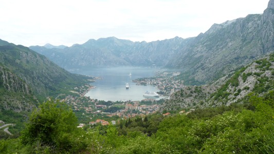
Our camp last night had been on the roadside on the far side of the bay, just round the corner to the left.
Looks like the cruise ships have to queue for the single berth.
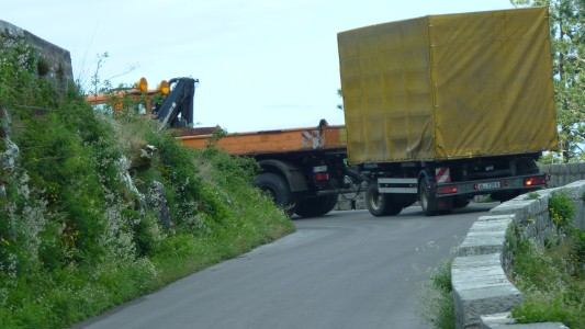
Its our normal habit to avoid having a queue behind us but we also figured that it was better anything coming down met him first.
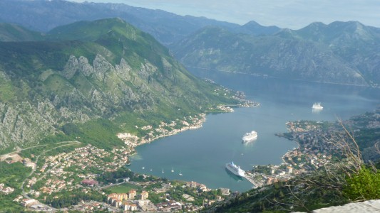
The bay is a flooded river bed.
Not a fjord as some of the brochures are apparently wont to suggest.
But just as spectacular.

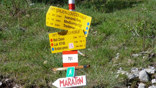
The "maraton" we think is something organised by British expat tourist companies.
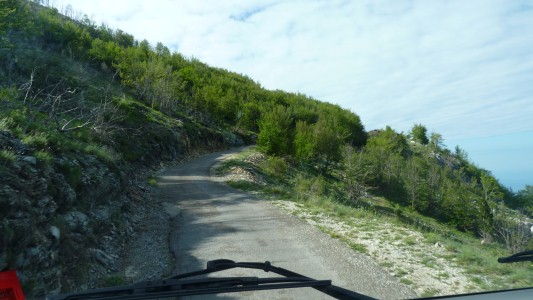
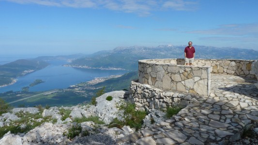
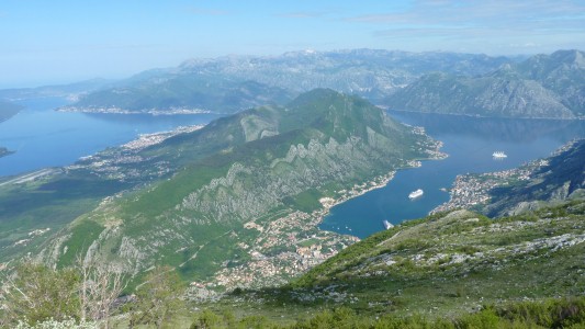
The ferries run across the neck to the left of the photo.
Since there's little tide in the Mediterranean there's not much movement of water in or out of the bay.
It wasn't quite as clear as the open sea.
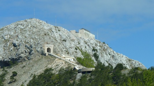
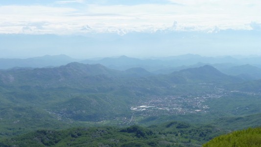
This is Cetinje. The old capital.
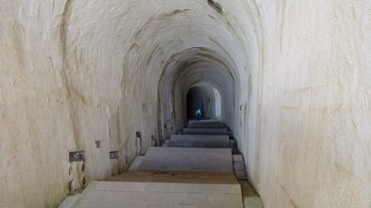
Too large, and too finished for military use. It leads to the mausoleum.
That's Ali, illuminated by one of the two side passages.
We think 471 steps (for those who count such things).
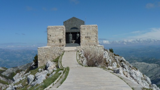
Symbolically guarded by mother and sister.
The Vladikar is a religious position. It became political while settling disagreements between tribes and ultimately uniting them.
We suspect "the father of Montenegro".
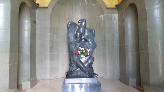
Montenegro translates as black mountain.
A little bit of trouble with the electricity meant a torch was needed to see the sarcophagus under this granite monument.
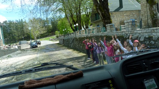
A school party out for a walk.
Montenegro is freshly independent of Serbia.

We became lost, did a u-turn at the tour bus car park, and headed towards Albania.
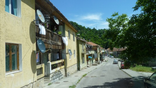

We weren't lost, we just weren't too sure where we were.
And becoming suspicious of the gps.

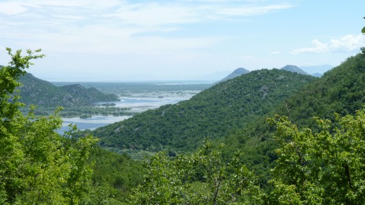
Just as we gazed at our gps they gazed at theirs.
Fortunately they had a bonus. A real map. With lat and long.
So we worked out exactly (more or less) where we were.
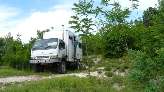
There really haven't been many places to stop on single width roads with few passing places.
I went for a short walk to see more of the lake. Misjudged where I was and returned horribly scratched from almost impenetrable undergrowth for some tender loving care from Ali.
Well, a cup of tea anyway.
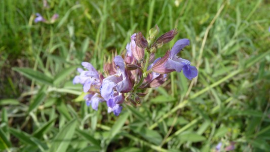
We haven't a clue but we keep thinking orchids.
Just like the many we didn't manage to photograph in Plitvice National Park.