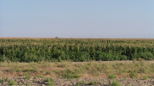
Since we entered Kazakhstan we've been in desert or semi-desert. Including the Kyzyl Kum desert south of the Aral Sea. To about where the cosmodrome is.
We expected to see cotton, but that was not to be.
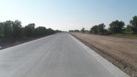
Different road building technique, different country supplying the aid or the contractor.
This looked like the Chinese.
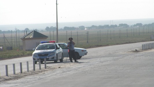
He didn't wave.
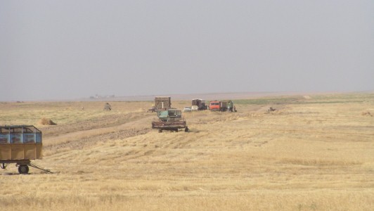
The harvesters are old, possibly from the Soviet days.
We saw grain silos so its a sizable industry.
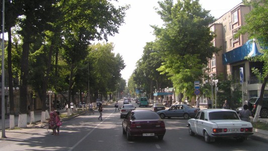
I had coordinates for where to turn onto the northern by-pass towards Almaty.
But no signposts and the gps was 6 km out.
By the time I'd worked it out we were in the middle of Shymkent
A cop hauled us over, wanted to see our documents, then took me to one side and we sat in his car.
He wanted money, I played dumb foreigner.
He got frustrated. I won..
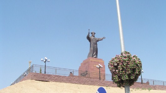
An hour later we passed this fellow and found the road east.
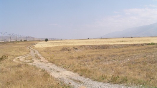
Village with centre for Aksu-Zhabagly Nature Reserve.
We hadn't noticed we wer driving uphill.
The village is at about 1280 m.
He filled us in on when the park headquarters (on village main street) would be open (it was lunch time until 3pm).
Entry fee per day (about A$12) is 1700 Tenge each plus another 1700 for the ranger/guide.
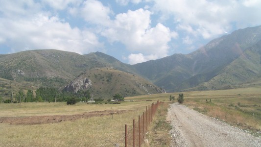
Through the village we drove towards the park entrance.
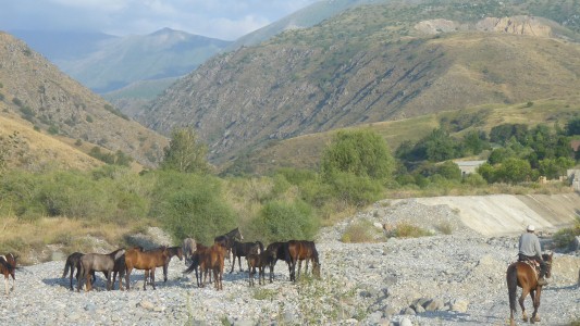
And said hello to the horse herder.
There are two valleys that give access to the park. This one near Zhabagly and the Aksu Canyon two villages (25km) to the south west.
Apparently 6km walk to the first refuge at 1700m. There and back, about A$3 per km.
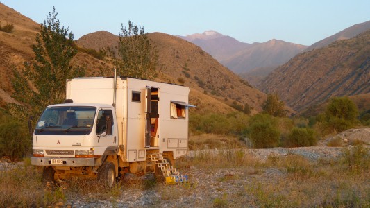
The buckets are full of water. Settling. It contains some rock flour. There must be a glacier further up.
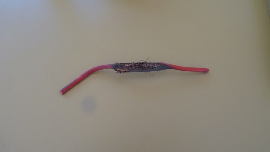
Remember the intermittent water pump problem.
It started after the tank strap problem.
While fixing the tank strap I'd had to cut a couple of cable ties and disturbed the wiring. There was something else loose which squashed this wire to one of the pumps. It was intemittently shorting to the chassis.
Lots of other fiddly bits of maintenance due after the rough roads.
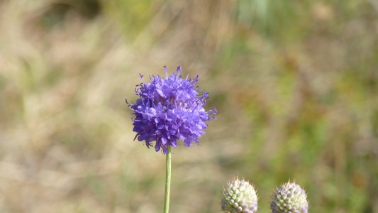
Greig's Tulip (a fine Kazakh name!) flowers in the alpine meadows in April - May. This isn't it.
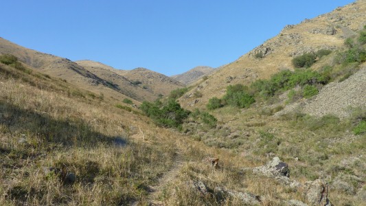
Avoiding the rangers.
Following the horse trails.
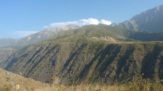
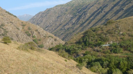
Its 2-3 days long walk to get deep into the park and back.
We are on the edge of the Tien Shan Mountains which separate Kazakhstan and Kyrgizstan.
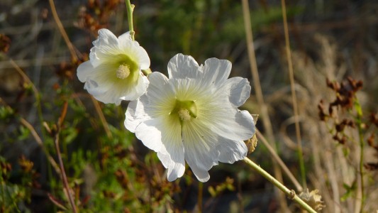
The vegetation is dry and prickly.
I left the gaiters in New Zealand so have sore and tender shins, and a few scratches.
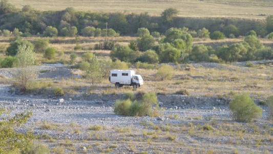
There's a hydro scheme and we crossed a couple of small river branches to park.
"Predictably" they'd risen a bit for when we left.
We now have clean wheels.
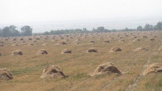
A strange mixture of mechanised and manual big field farming.
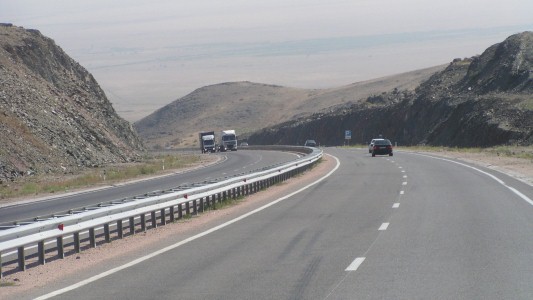
This was a long descent to the plain.

Wiyh Babazhi Katun Mausoleum just to the right.
Rose gardens either side.
The tombs of two 11th - 12th century women.
A story of forbidden love.

Like counting carriages in trains we are told there are more than 50 different brick tiles.
Very nice!
We are a bit confused at the age and preservation as it looks remarkably un-eroded.
People were praying inside so we didn't enter.
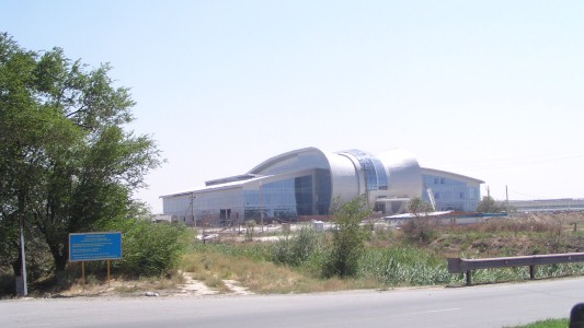
Not sure what this building is.
We found the supermarket (it wasn't lost, we were) and stocked up. Several ATMs in the foyer, some with buttons that didn't work.
Then filled up the fuel tanks.

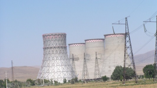
We haven't got used to the Russian designed cooling towers that don't get wider at the top.
Not sure why there's no steam. Maybe because there's no smoke from the chimneys.
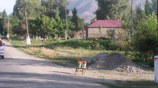
Just one road out.
We found ourselves in Pokrovka, in Kyrgizstan after crossing the border.
Tomatoes for sale. We'd noticed that the Kyrgs crossing the border on foot were carrying bananas, other fruit, and bread, so fresh fruit and veggies at the roadside confused us.
there are two roads marked running south of Talas across the border. Reise maps marks the westerly one as the A361, googemaps the easterly. Garmin only had one road, parallel to google, but about 6km out.
We don't know if there was one or two border posts...
Really helpful, but seemed unused to foreigners.
An hour of slow movement just to get into the border compund.
Once inside the delay included someone walking to the Kyrgiz side to check that they would let us in - they were concerned that if not, and they stamped our exit, they could not let us back.
Kyrgizstan was relatively straightforward, the queues to leave Kazakhstan had evaporated. Though we needed help again completing the vehicle entry forms - very similar to Russia and Kazakhstan.
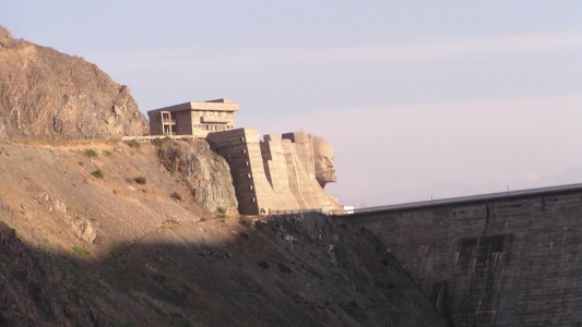
Our mis-navigation took us past the Kirov Reservoir.
We wondered if it was Kirov's head above the dam wall. We'll figure out who Kirov is when we have internet again.
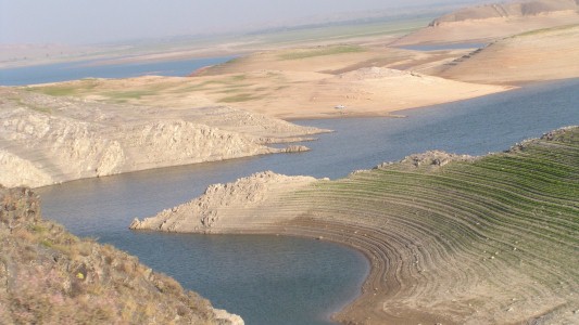
An obvious place to look for a campsite though.
Its 6pm at the end of a long day.
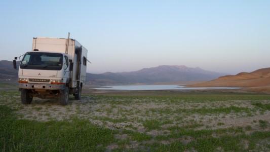
There's a few houses with large fences near where the water's edge would be if the dam were full.
And a couple of fishermen at the lake.
The almost lush vegetation, in the soft ground waiting to be turned to mud at the slightest hint of rain, has tenacious burrs that like socks and shoe laces.