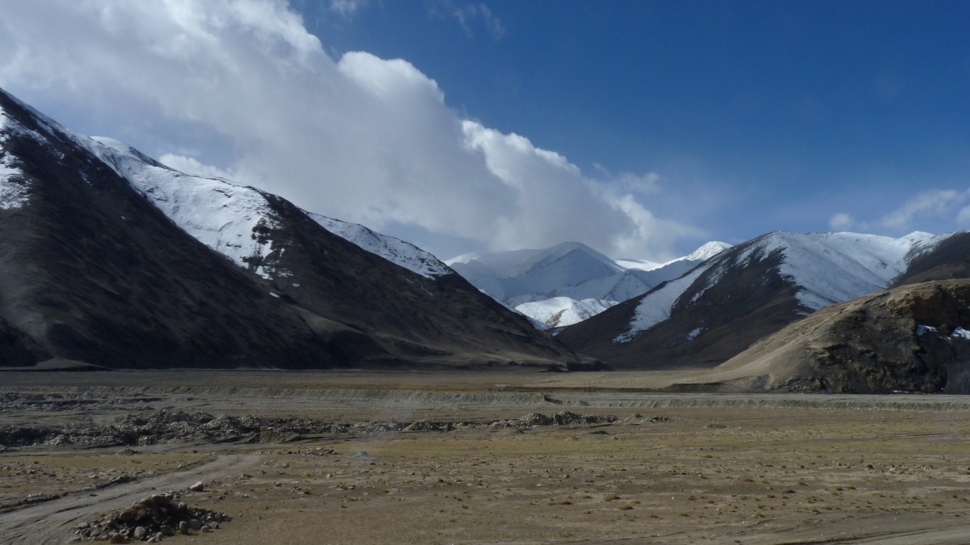
Yesterday we partly crossed the Kunlun Mountains, north to south. The range is never more than 125 km wide.
Today we are traversing the mountains west to east. They extend about 3,000 km. Separated into west and east by tectonic activity.
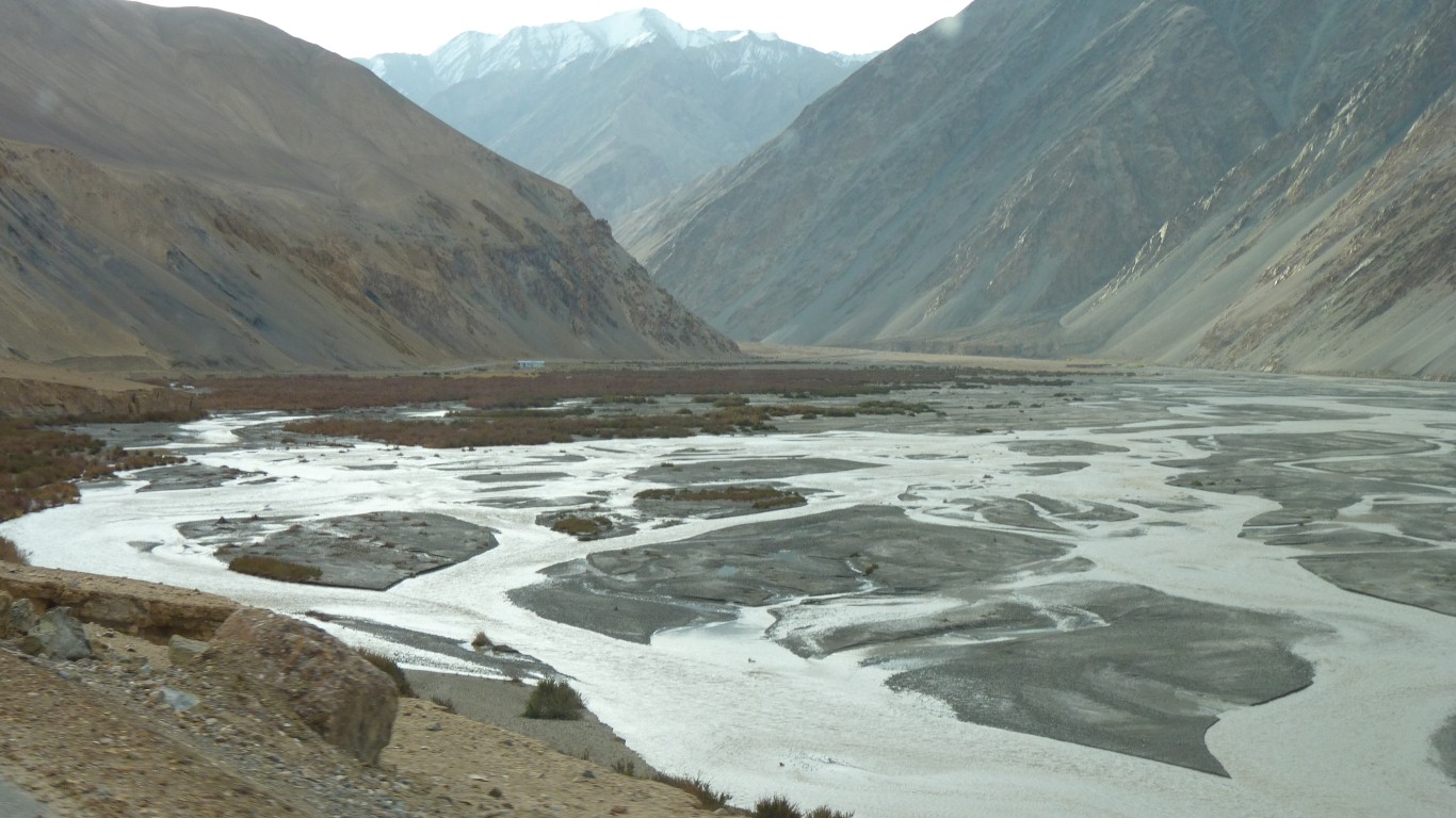
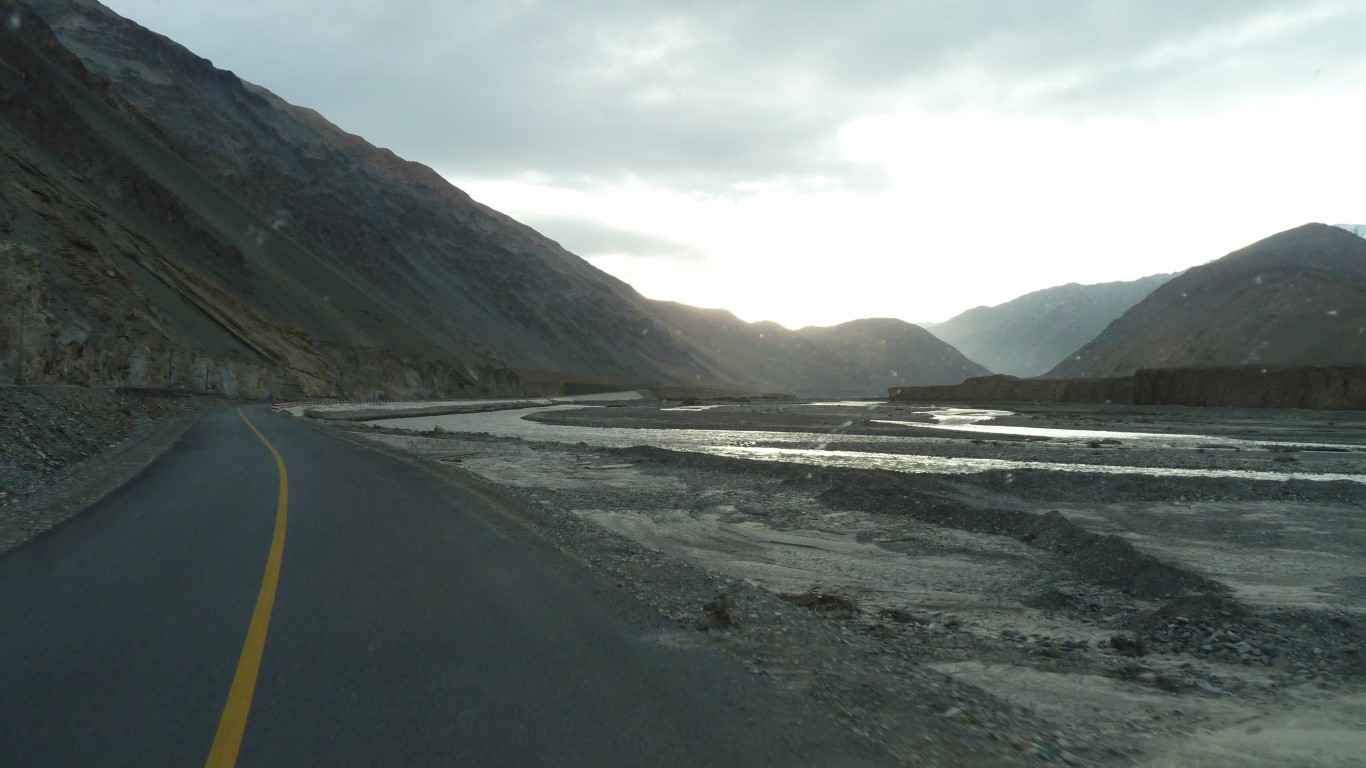
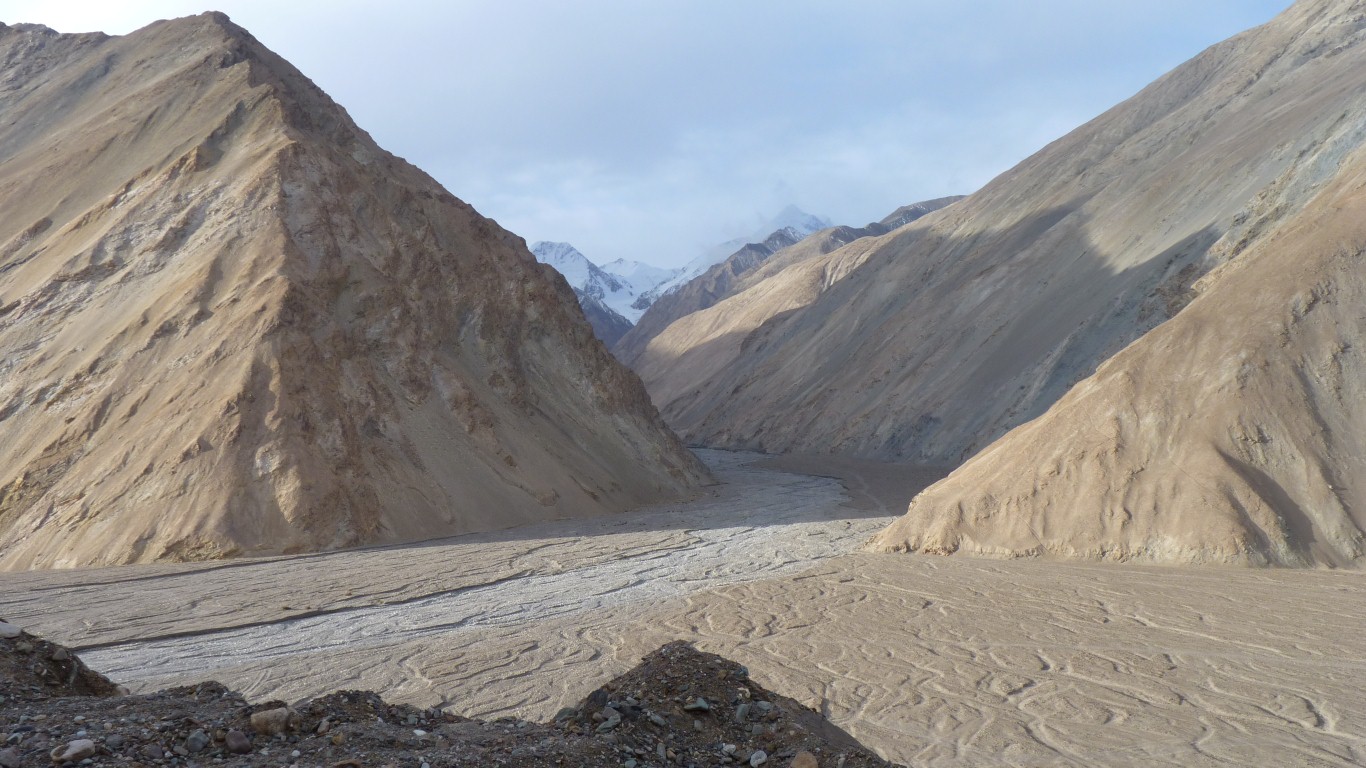
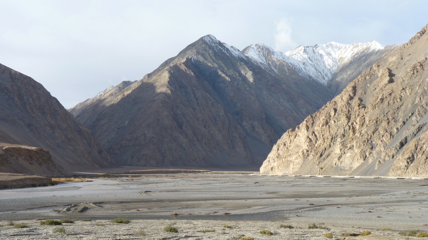
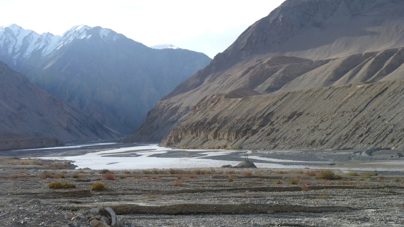
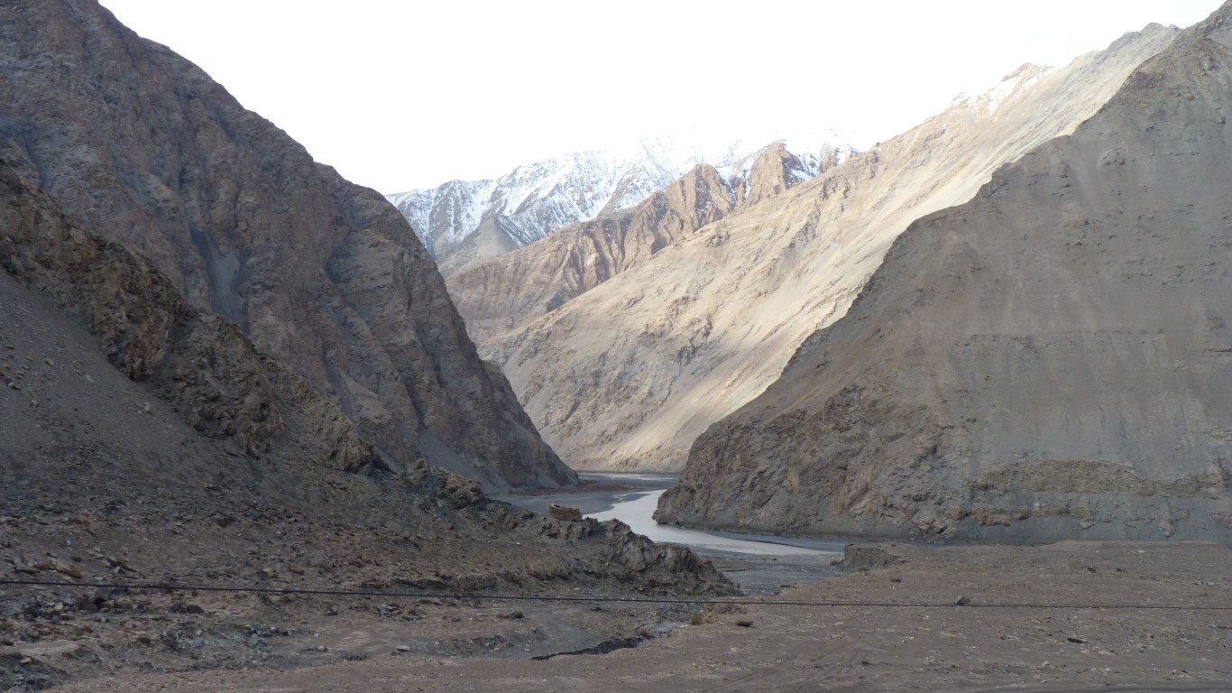
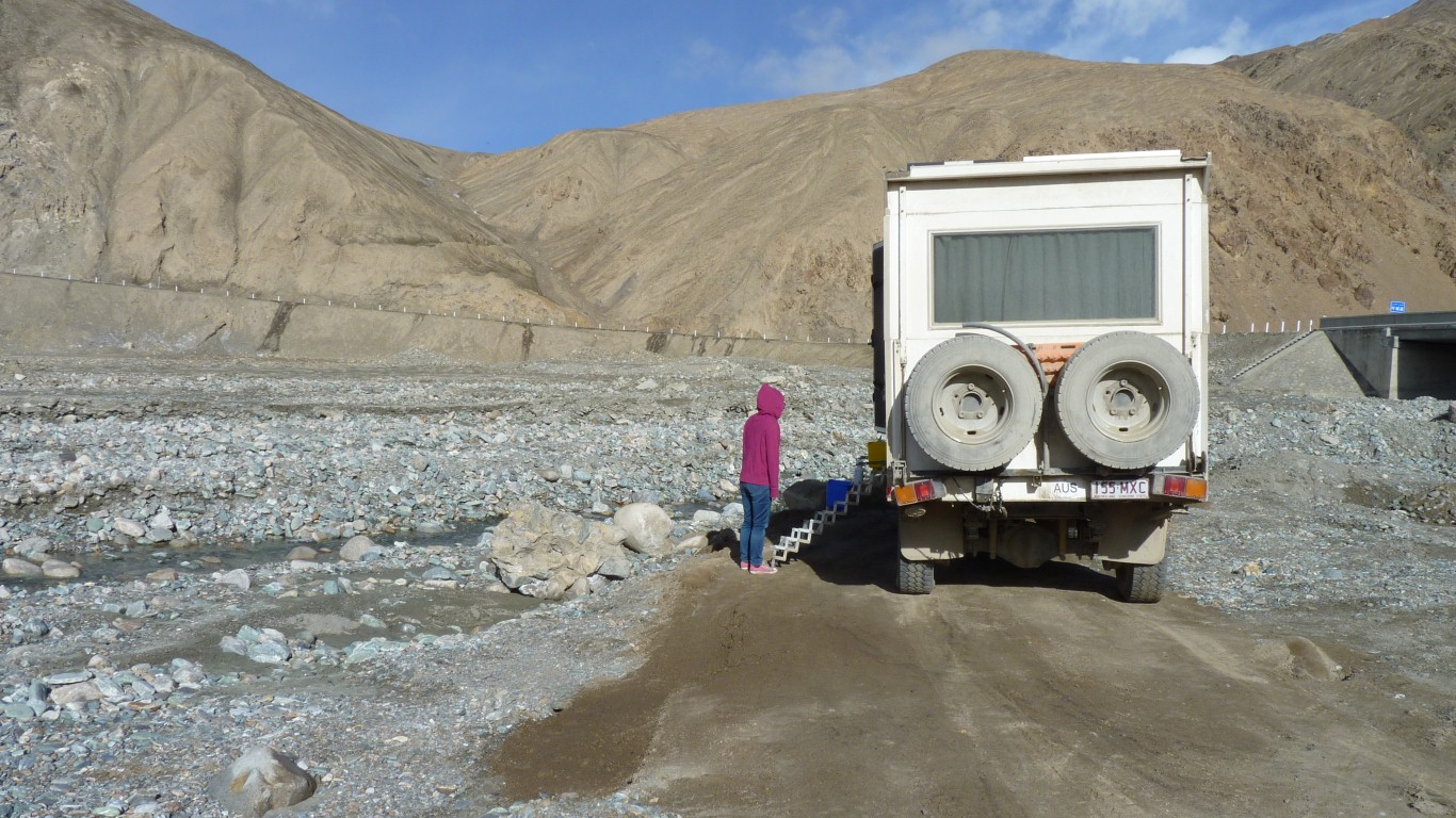
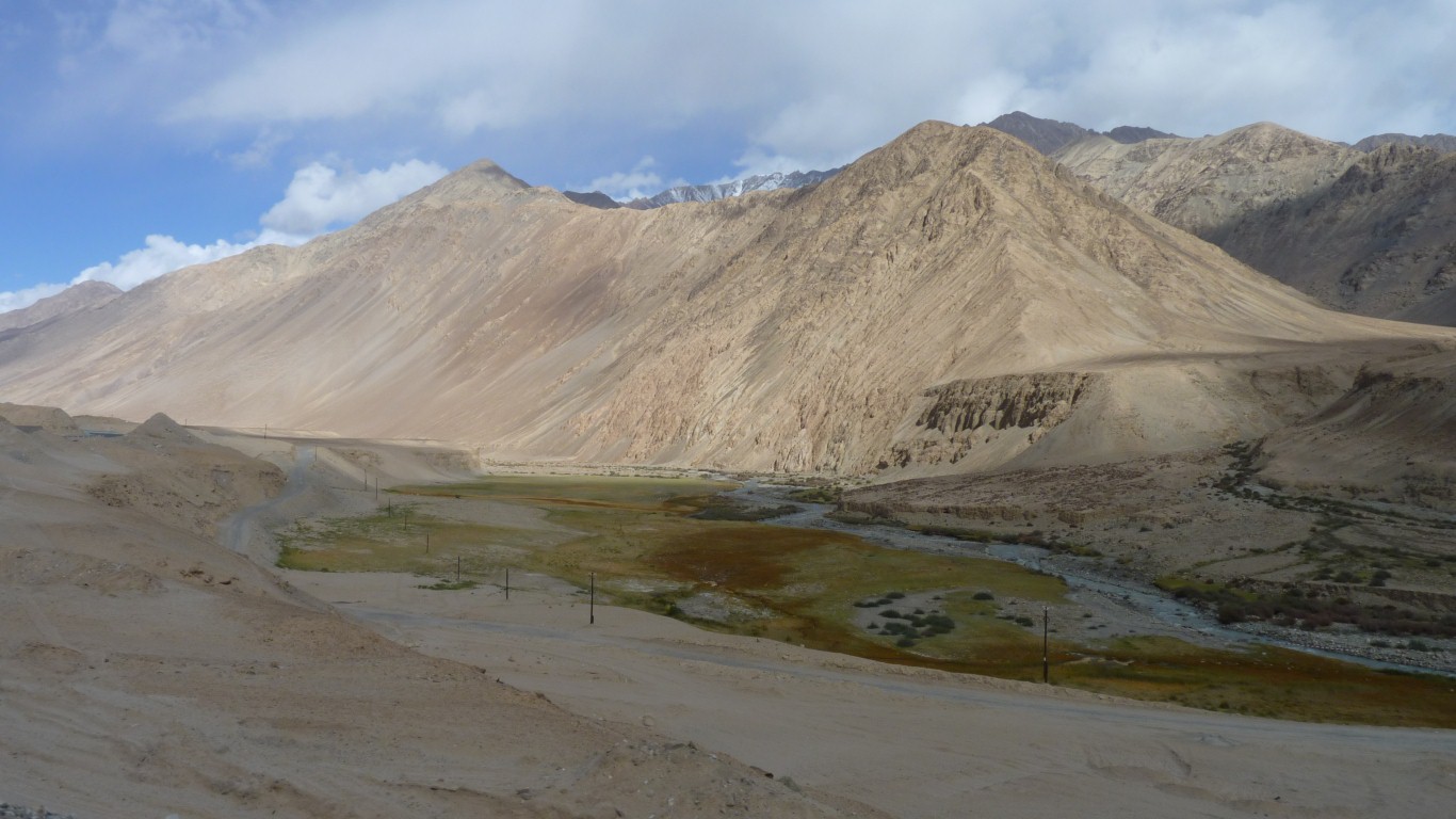
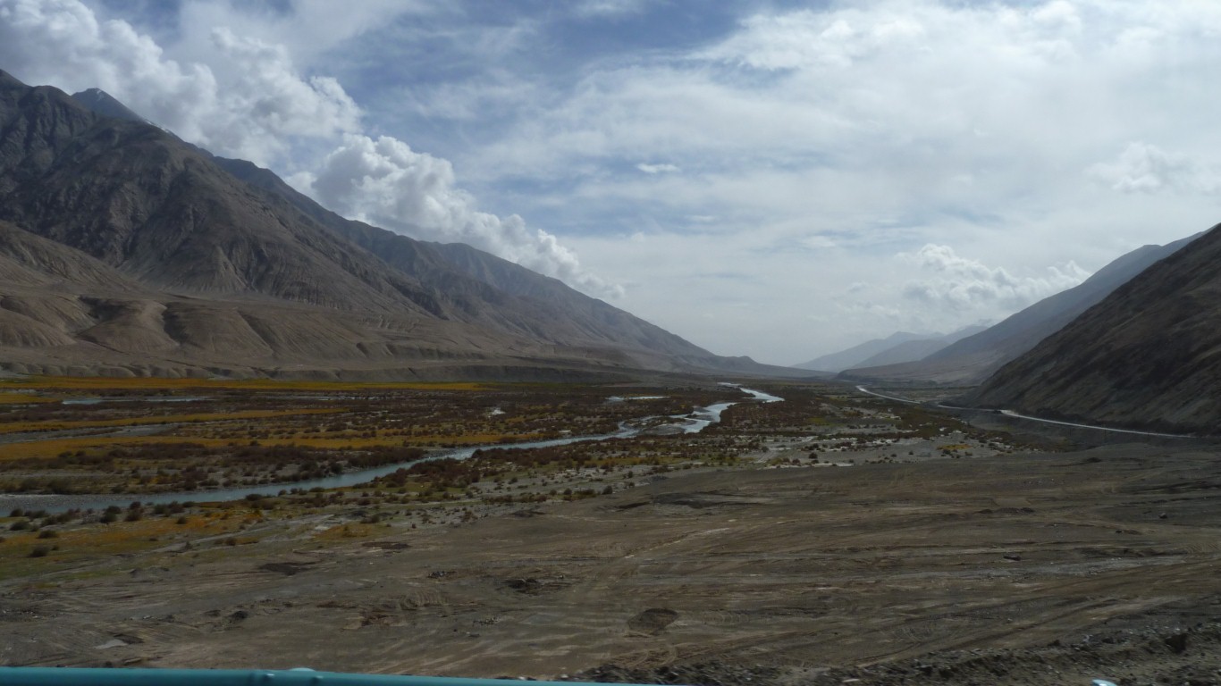
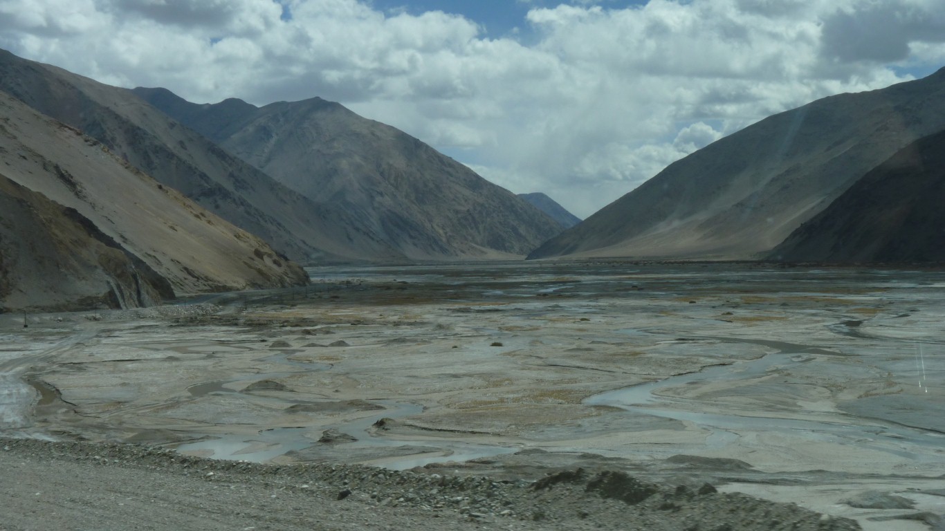
The river braided.
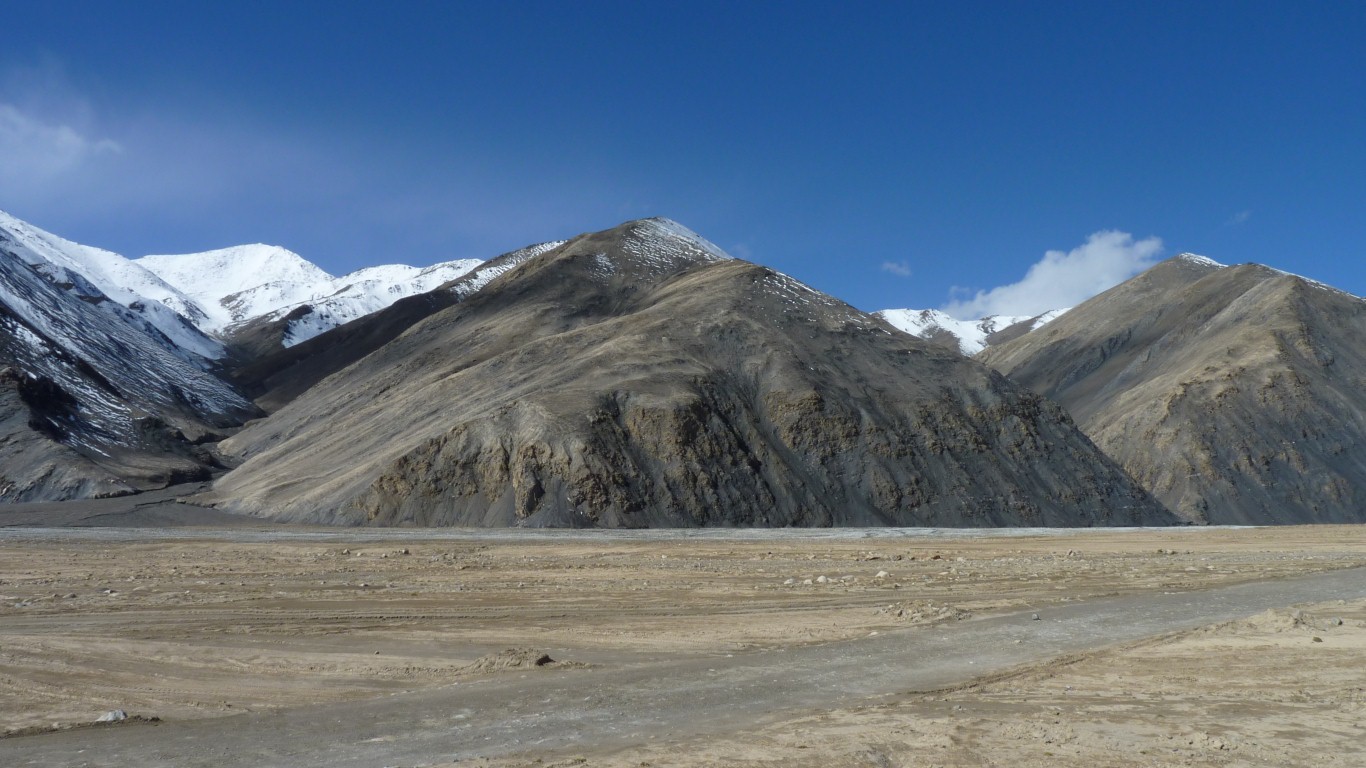
This valley is towards the south.
First Pakistan, then to the east Jammu and Kashmir (India).
There's a large Chinese military presence in this area and we require many permits to follow this road.
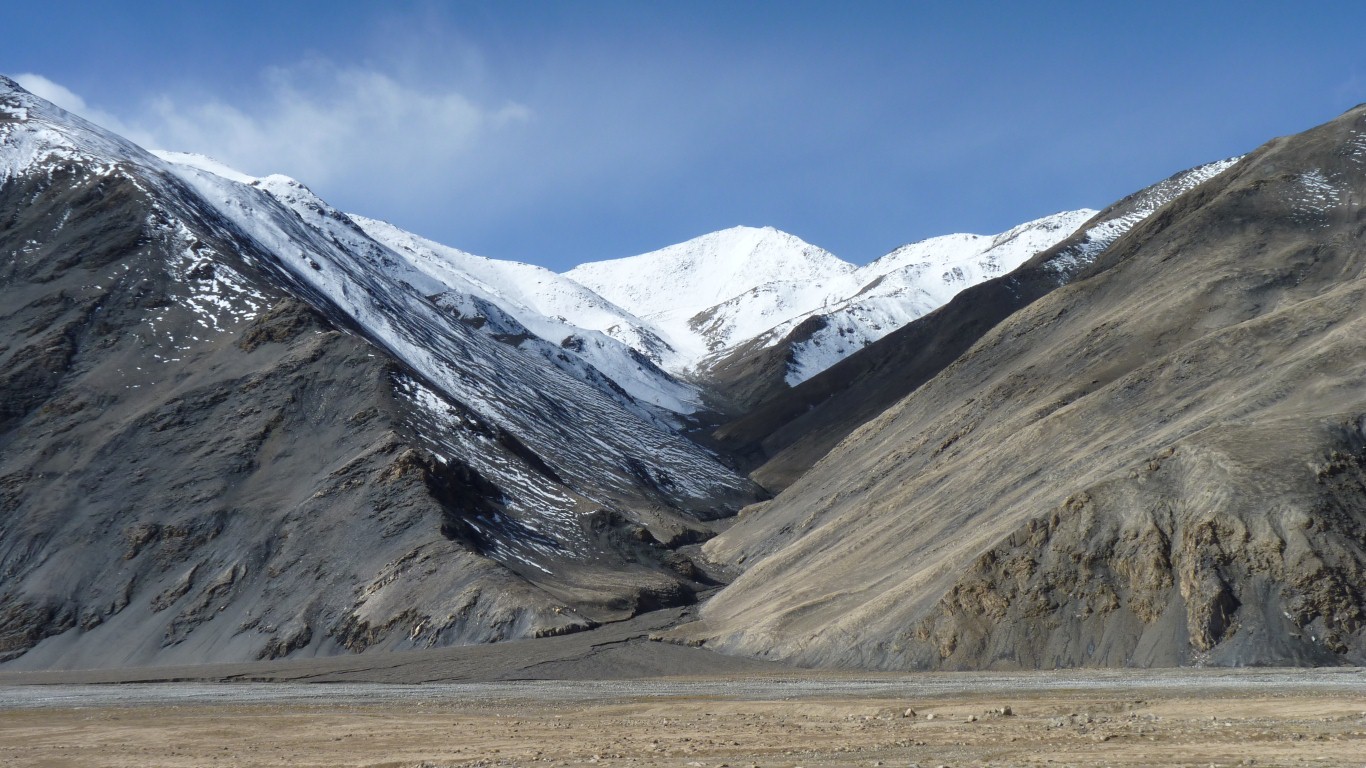
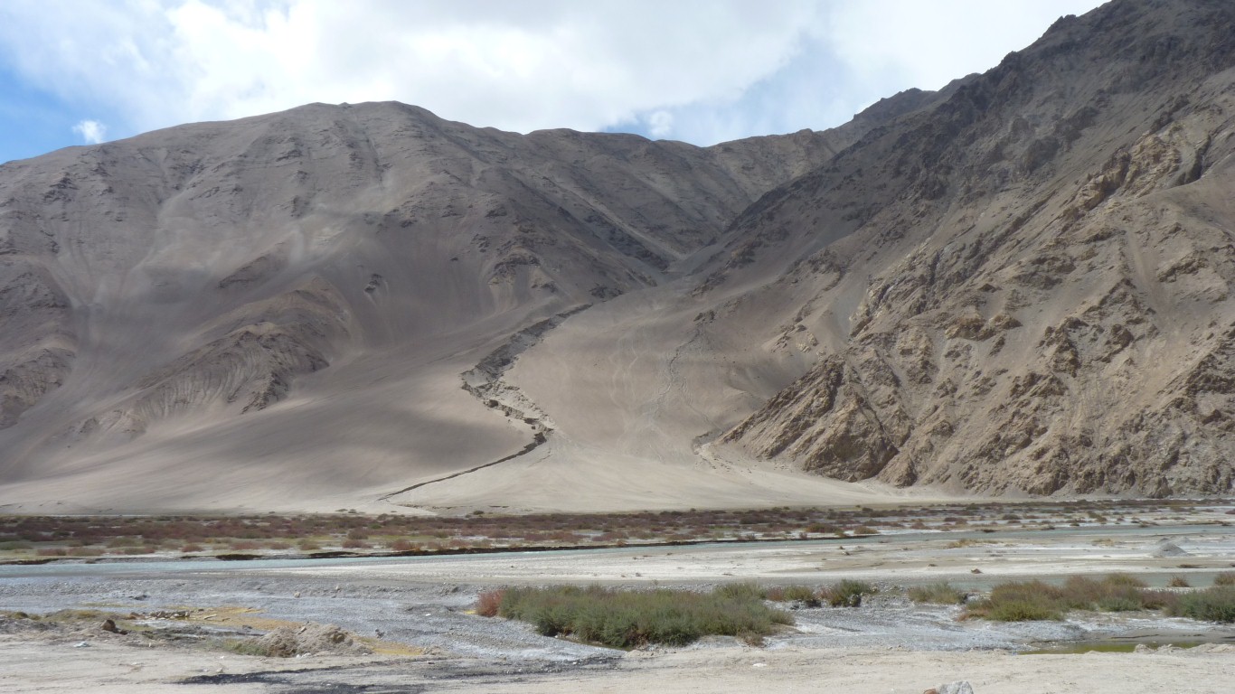
If I've read it correctly a mixture of granite, basalt and gabbro pushed up.
But Loess added later.
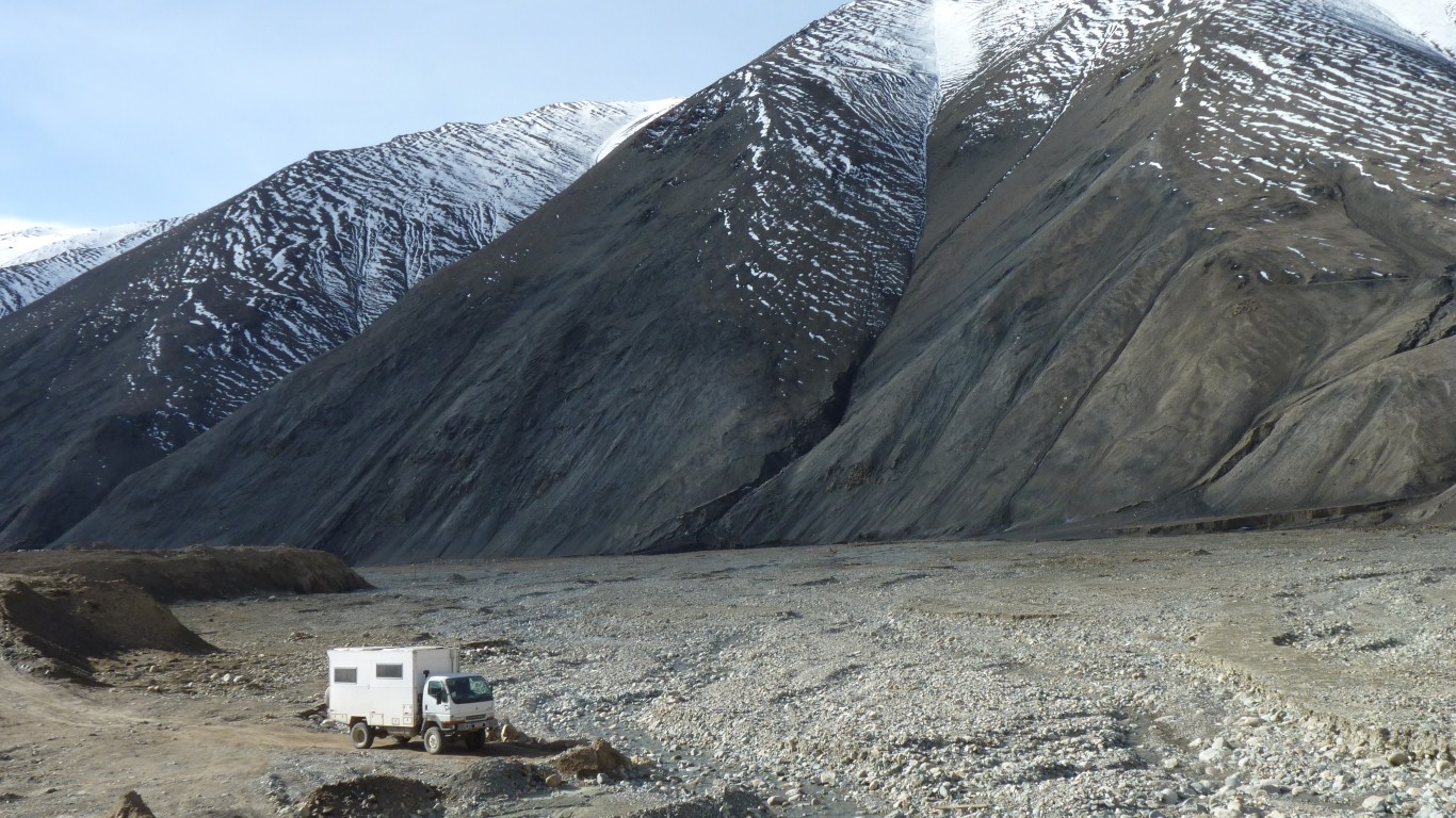
And somewhere near are the remnants of about 70 volcanoes. Which we think partly helps explain the abundance of scree slopes and loose deposits along the river banks.
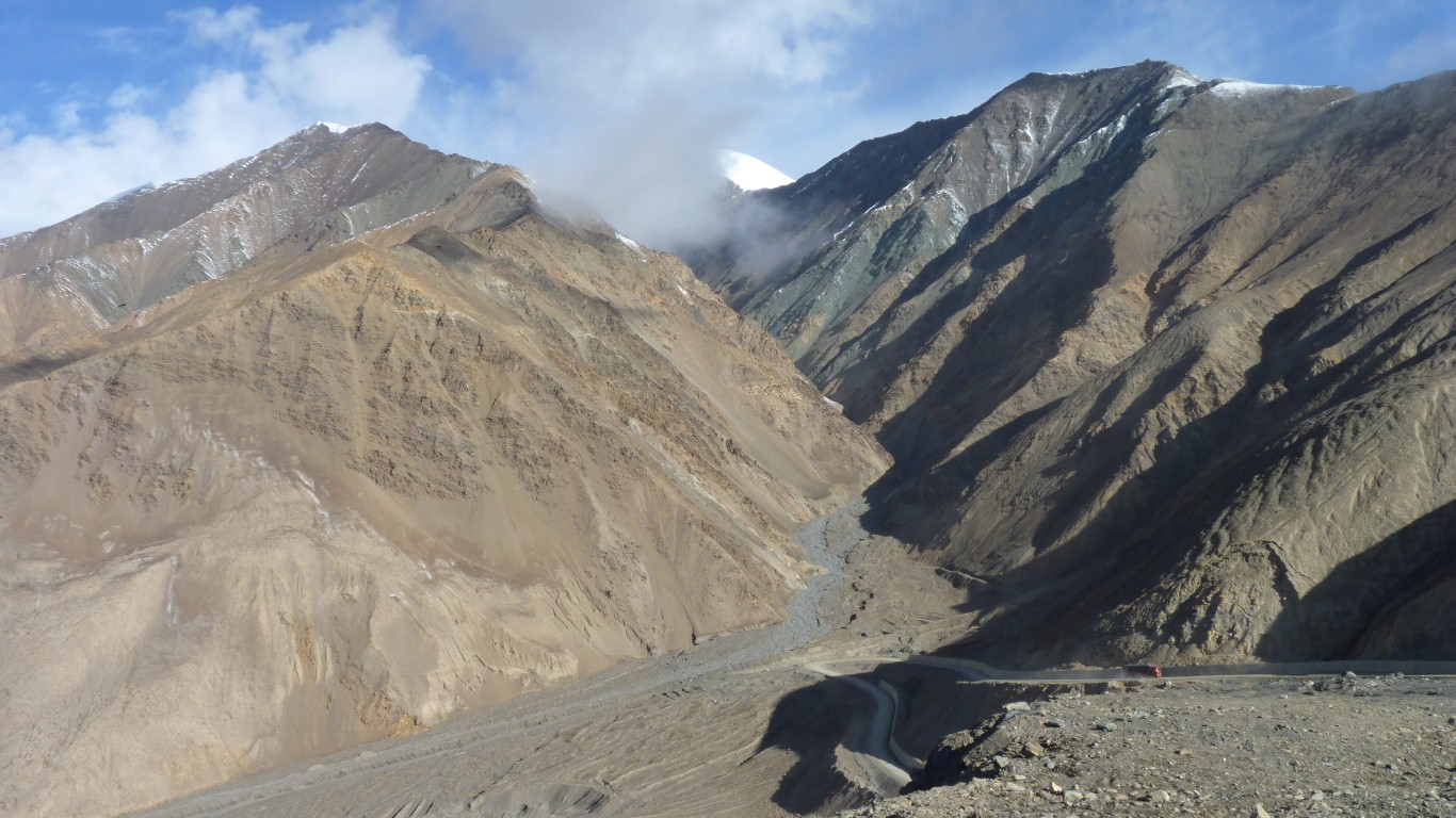
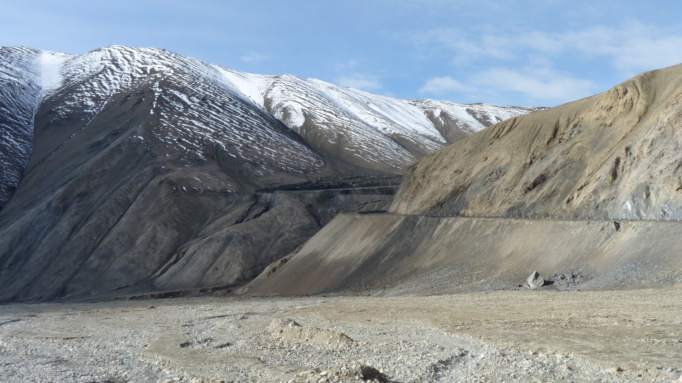
We turn left over a pass.
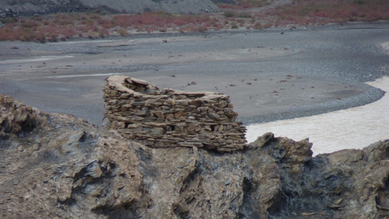
There are signs of the old road.
It would have taken several days to cover what we have just done in a day.
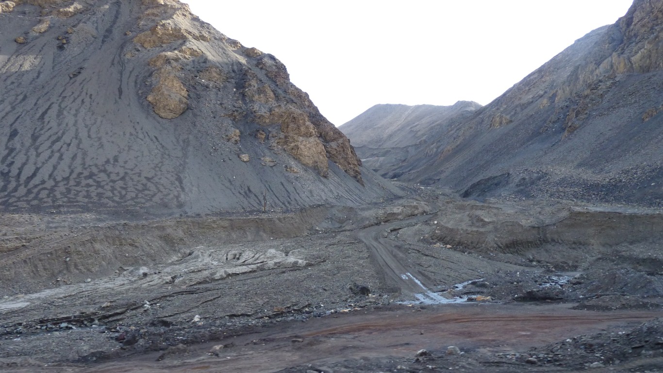
Our road is still under construction further on.
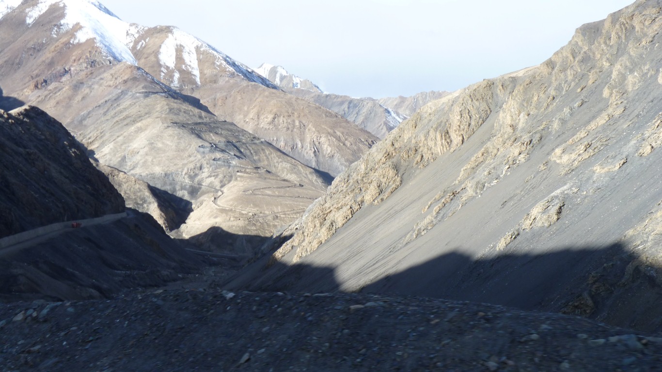
Either up ridges, as this one, up the middle of valleys, or up scree slopes.
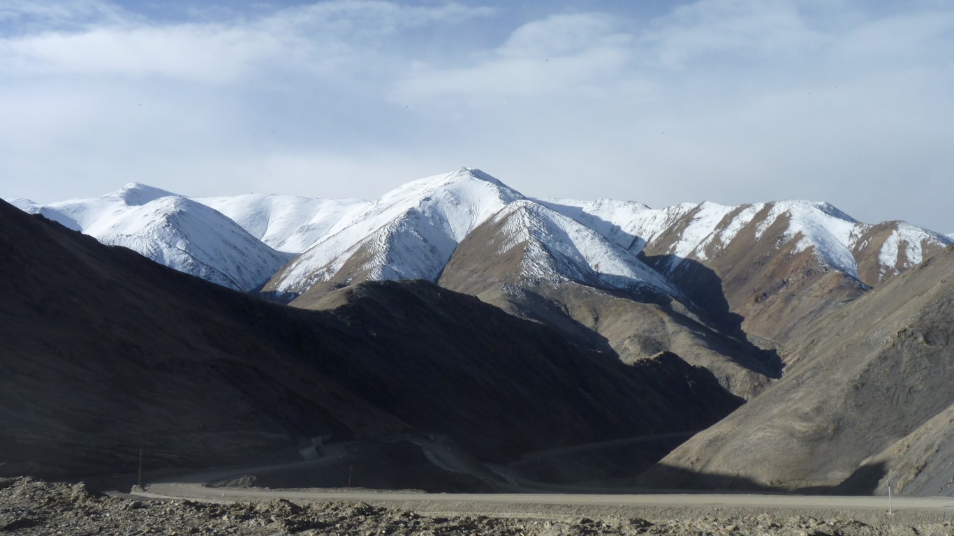
Heikadaban (Heika Pass).
Not quite 5,000 m.
Despite the sunshine we are a tad cold.
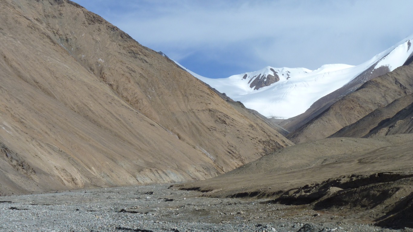
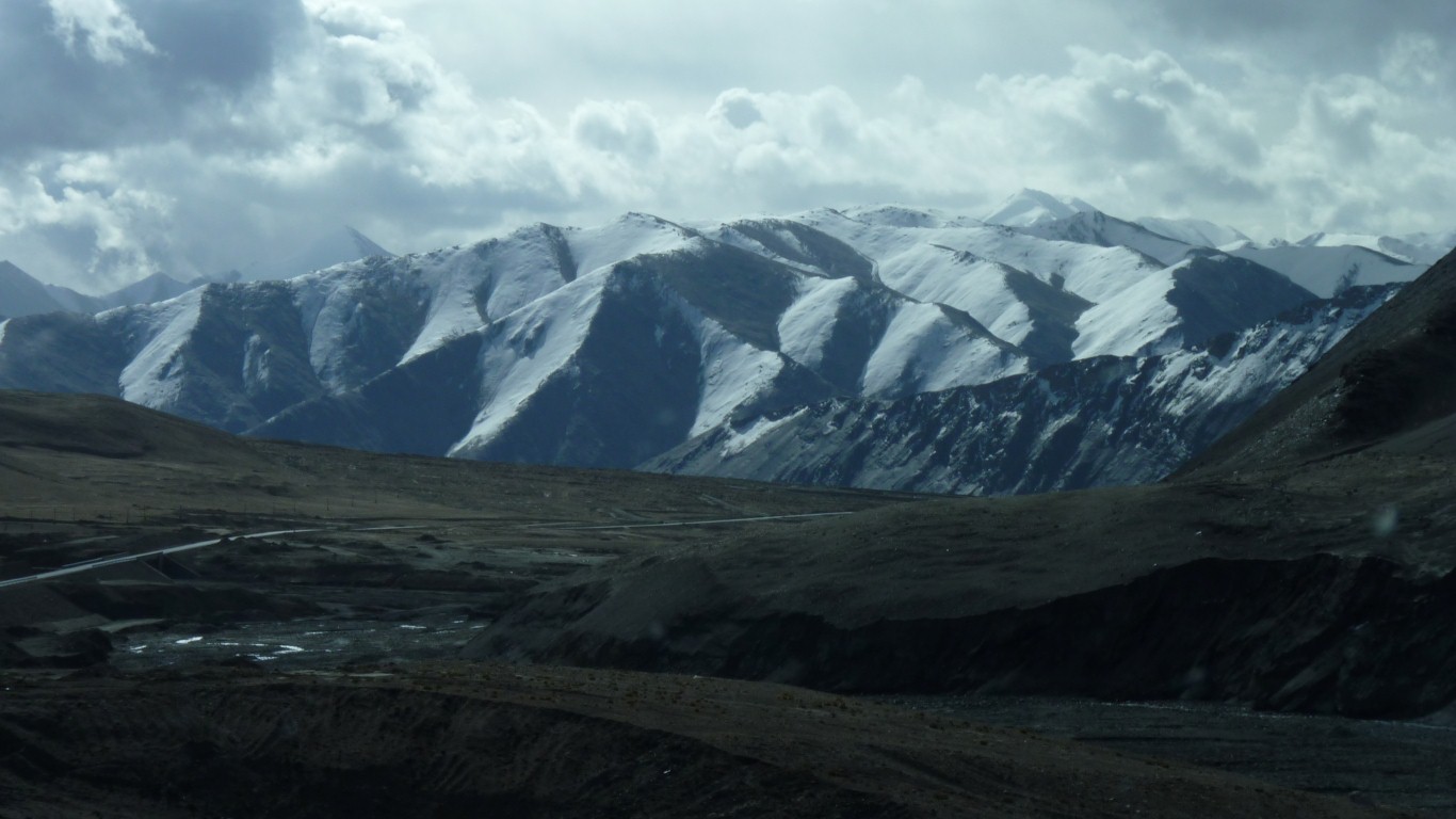
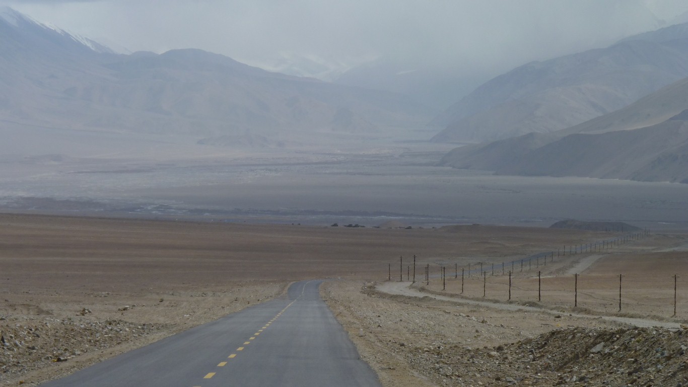
From one wide river valley to another - the Karakax He.
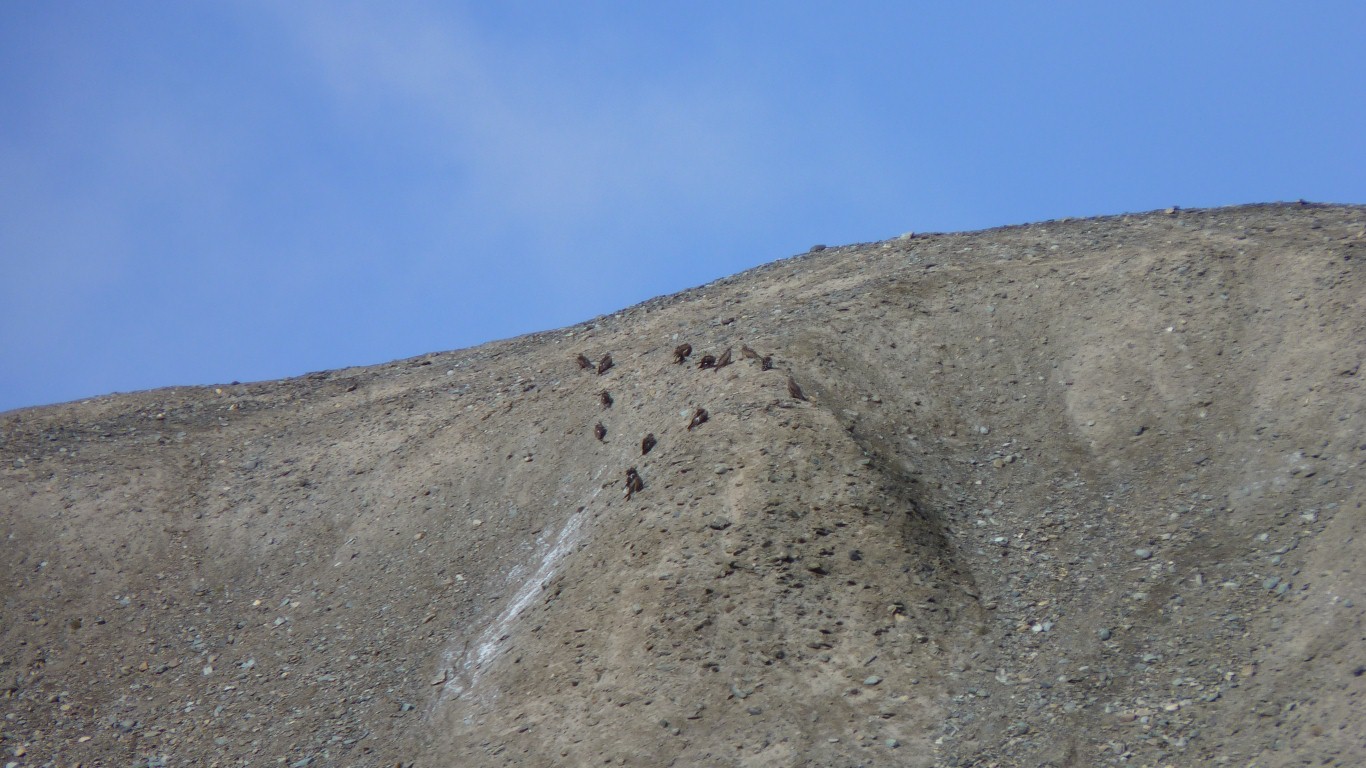
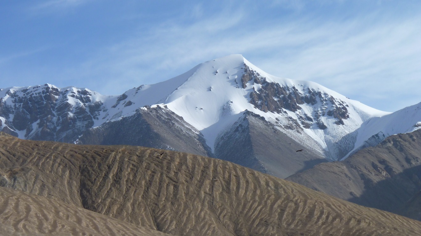
We spotted about 200.
Too far away to photograph effectively.
Sometimes in 5th gear at 80 km/hr.
But not enough to sustain anyone, or any animals.
Though we aren't sure what the eagles feed on.
Definitely not magnetite.
Even thought the "da" means "big".
Irreverent thoughts of English villages named "upper" and "lower" etc.
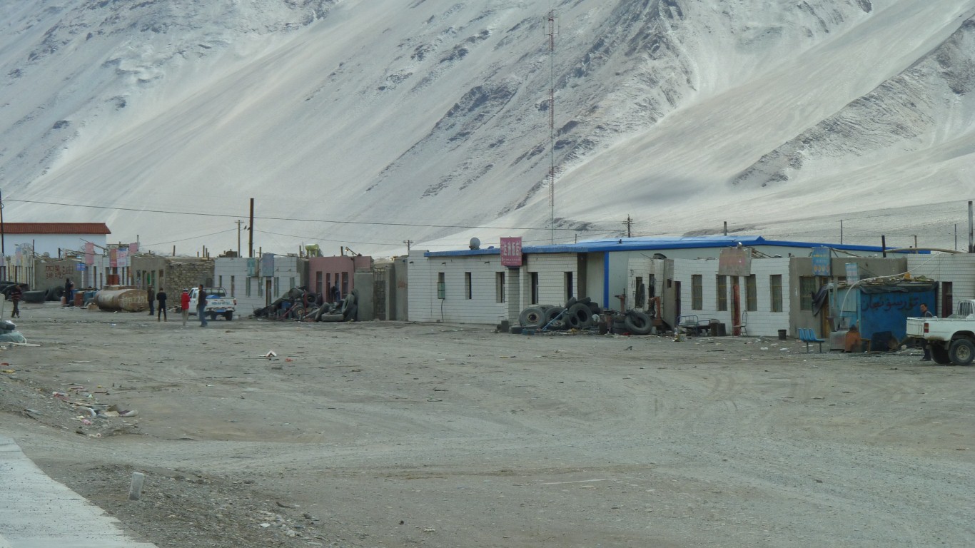
But it did have a "Chinese Restaurant" rather than a noodle bar.
So we had fried rice and a pork / vegetable dish.
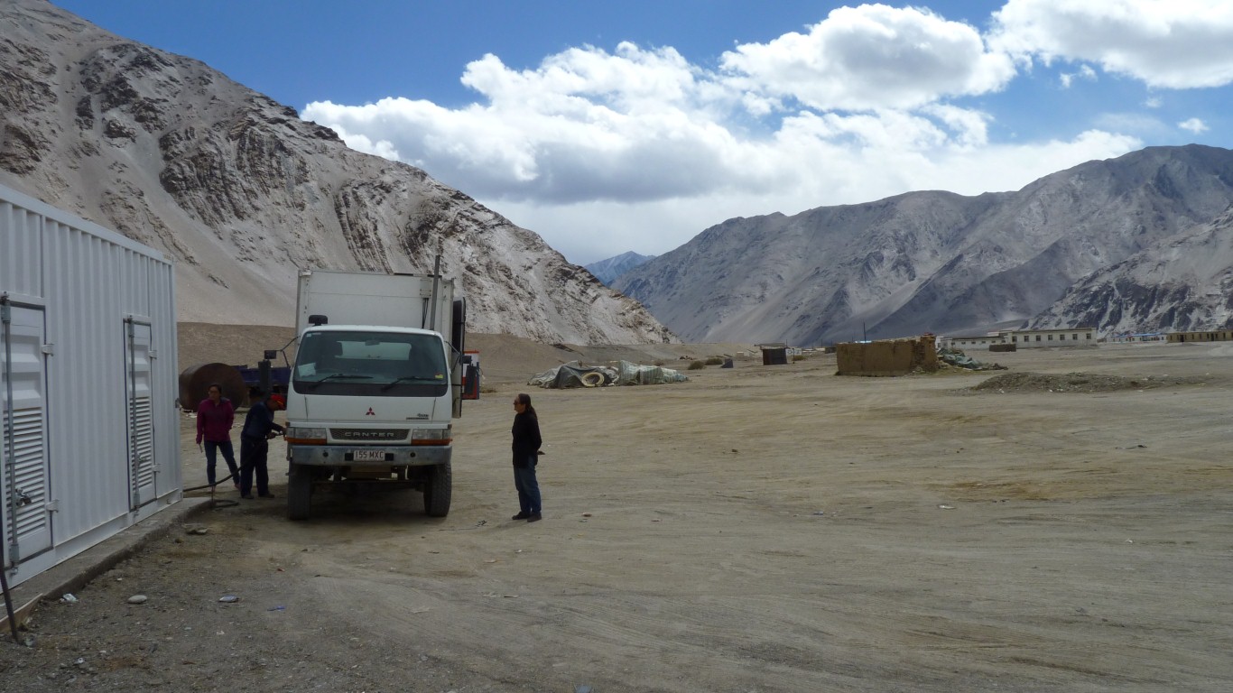
This is the first time we've had a distance between fuel stations greater than we can drive on one tank.
We used some of our second tank.
Apparently it is forbidden to carry spare fuel in cans or other containers.
Camped on the nearby river flats again. About 4,200n.