And of course things change.
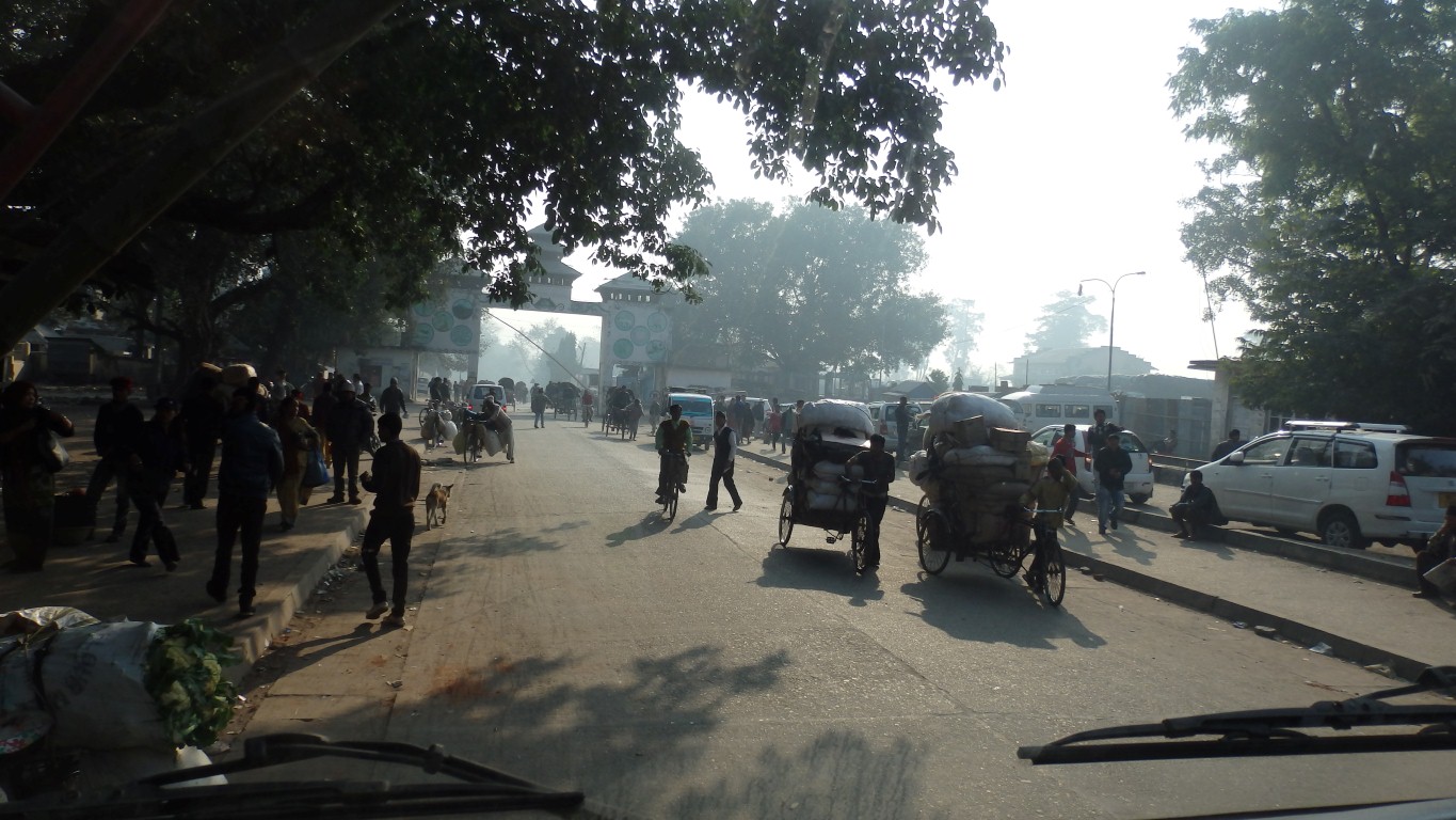
This is the western border between Nepal and India.
Leaving Nepal.
All of the bridges we've crossed to get here were at the same level as the road.
My recollection is that the border bridge is down a hill.
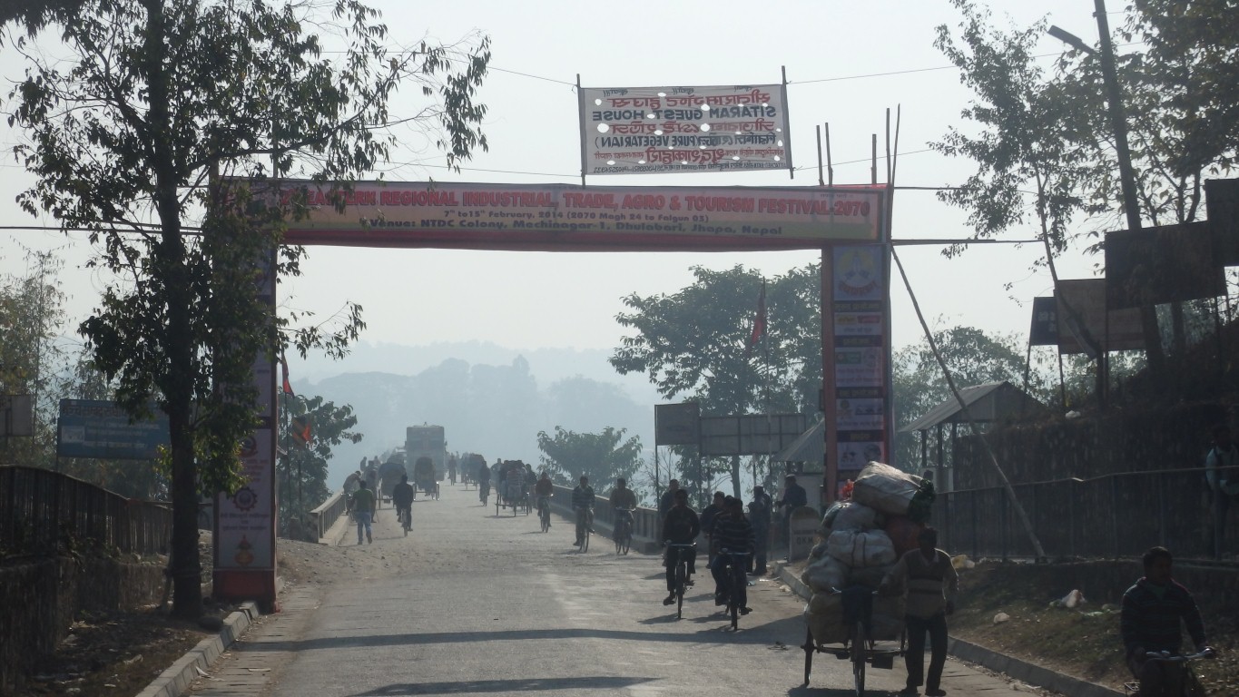
A bit of a relief really!
Of course its longer than it was last time.
But then we are driving now and I was being lazy in one of those tricycle rickshaws then.
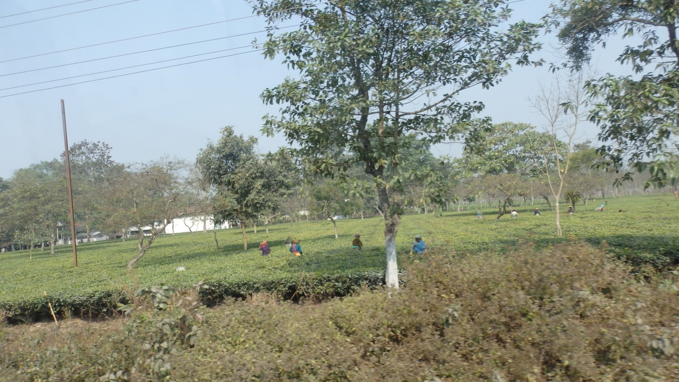
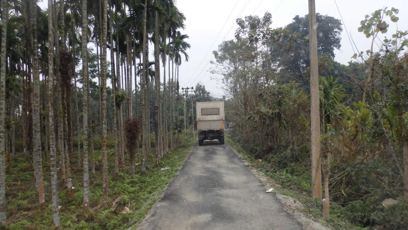
At the foot of the Darjeeling Hills.
Tea.
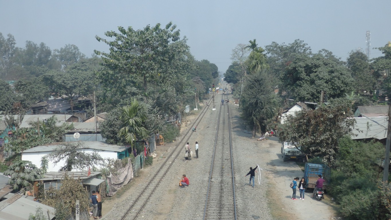
On the right the broad gauge.
On the left perhaps the narrow gauge for the toy train that traverses the hillsides up to Darjeeling.
Siliguri is a very large city which we will avoid.
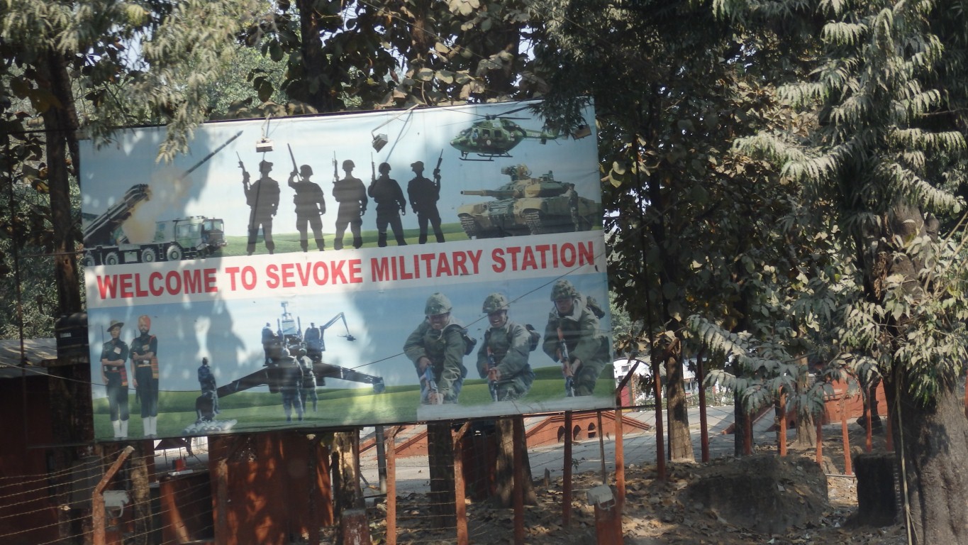
To the north are Bhutan and Sikkim. Further to the east and north is Arunachal Pradesh - with hardly any roads marked on maps.
Thus, we find the biggest visible military presence of any country we've traveled.
We have a sneaking suspicion that the welcome may not extend to letting us in.
So it was easy to catch the train to Darjeeling, buy some tea, then return to Siliguri to brew it at about sea level (where the water boils hotter to draw the tea better).
This time we drove around the northern bypass and into the hills towards Sikkim.
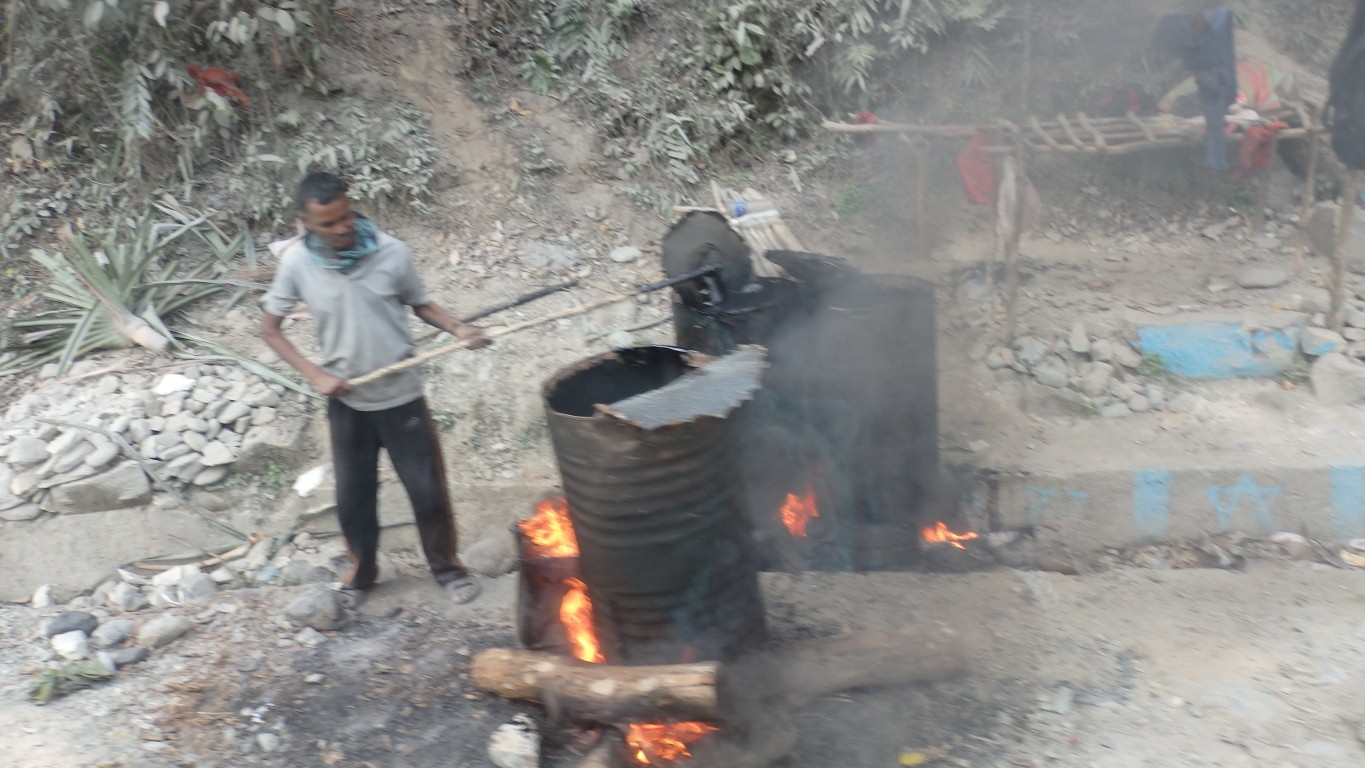
Admiring the "this is how we heat tar for road mending" demonstration.
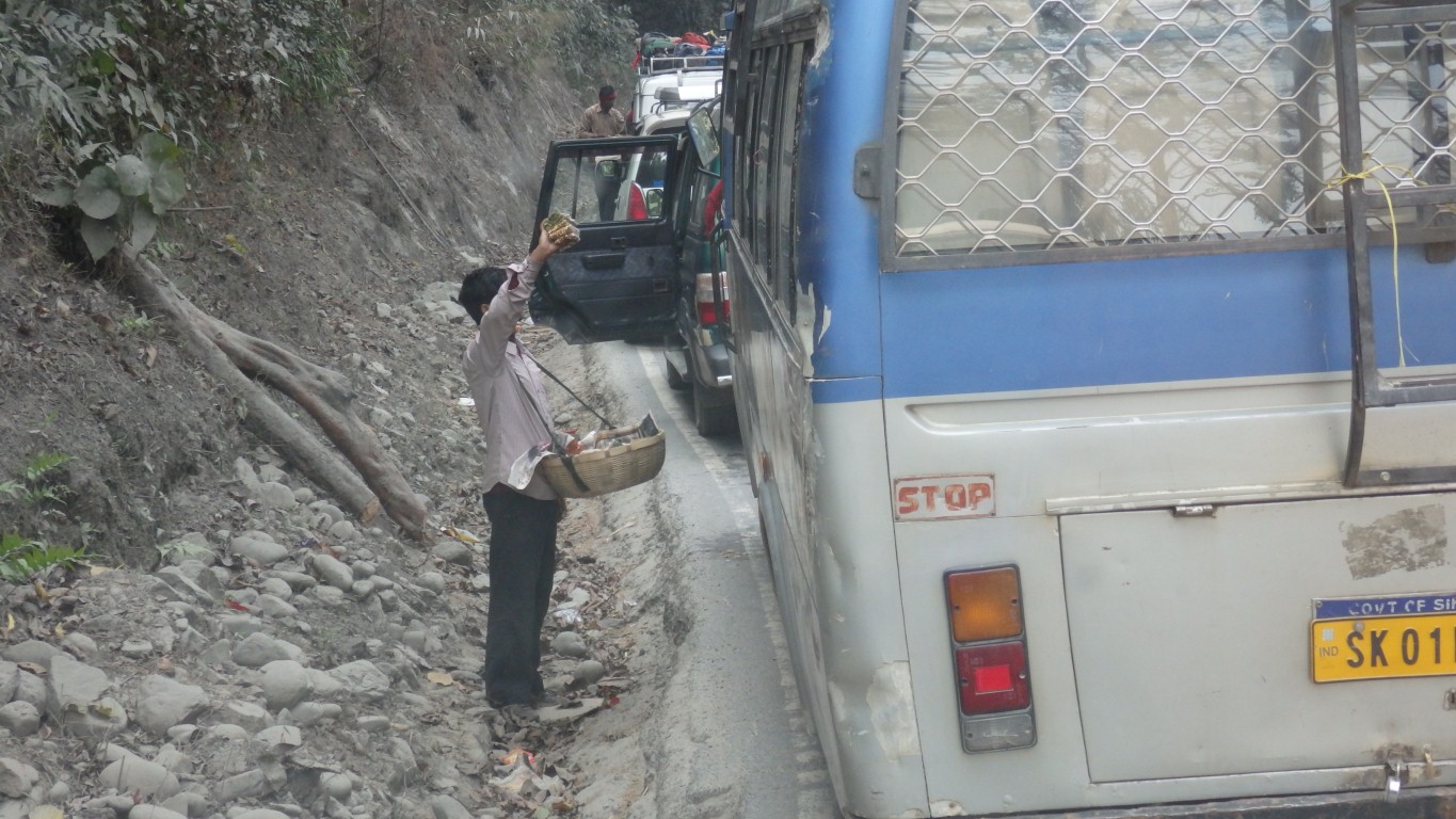
Waiting for the normal traffic jam around roadworks to clear.
We were a bit peeved that the supersalesmen didn't offer us anything.
But then perhaps they already knew we'd say "no".
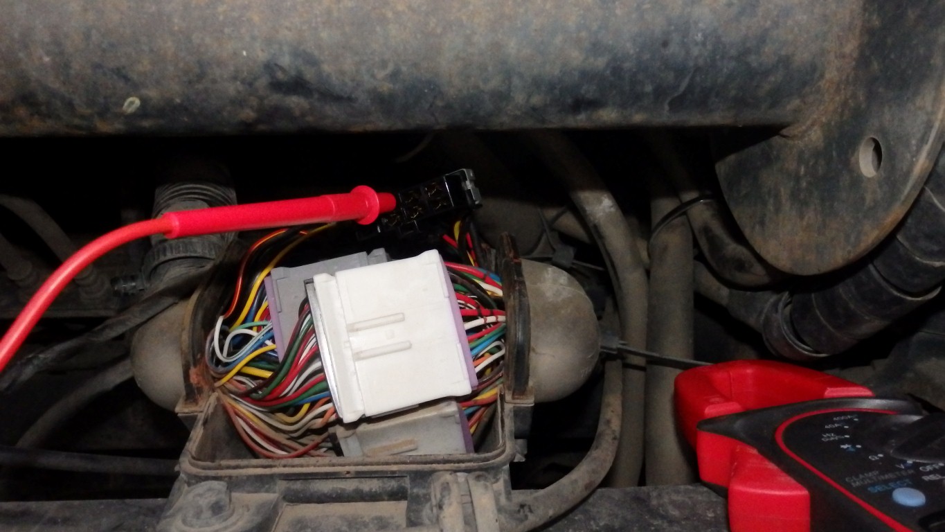
The big junction box was accessible from the outside front of the cab once a bit of trim was removed.
Those two big black wires are connected to earth!
Apart from trying to reconcile the wiring in the vehicle with the wrong circuit diagram real progress was about zero.
Though I finally cut the melted interior light wire at the fuse box. And could bypass all the vehicle wiring to operate one window.
I replaced the fuse for the exhaust brake and that now works normally.
There are really two circuits for aircon, blower and windows. A power circuit, that seems intact, and a control circuit through the switches to operate relays in the power circuit.
I'm working on tracing the control circuit before I by-pass possibly bad wiring. A bit difficult as the circuit diagram has a fuse for the control circuit but my vehicle appears to have none.
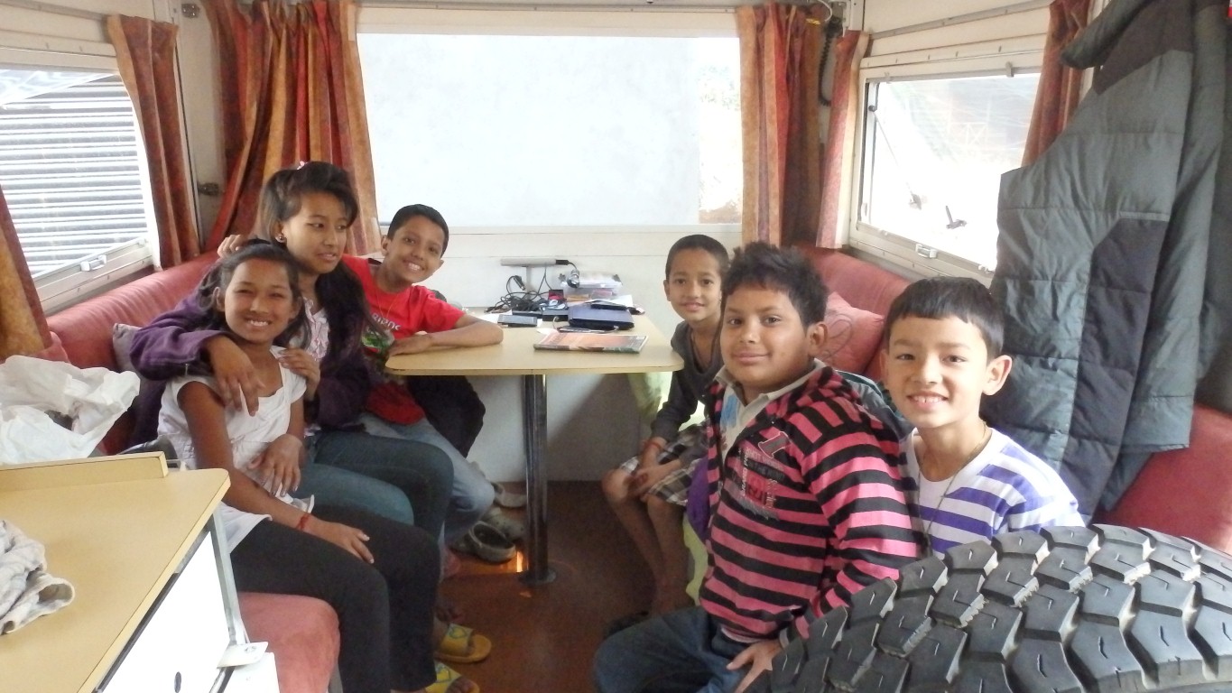
When they'd finished annoying her they decided to "help" me.
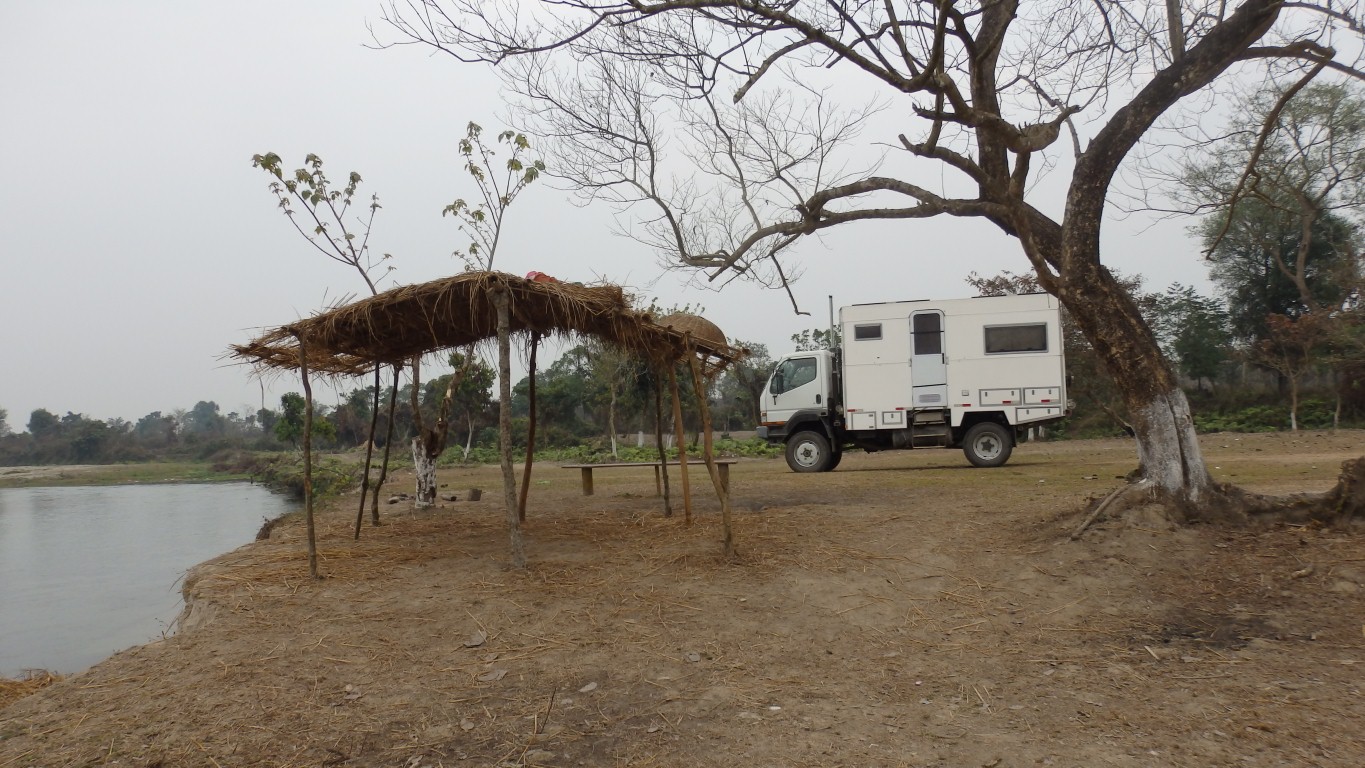
We were comfortable where we were.
Neighbours who were just a bit curious but gave us lots of space.
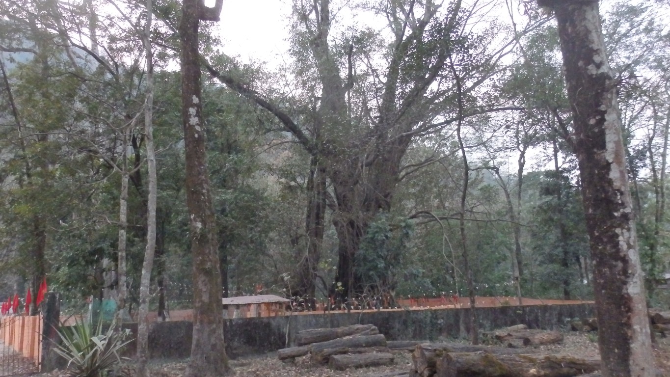
Which had a wall around it and lights at night.
A shrine.
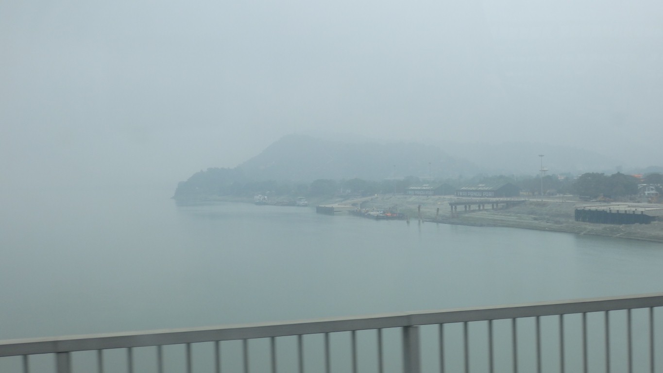
We are on a flat bit of ground above the River Teesta which flows from Sikkim.
There's a hydro dam under construction just downstream of us.
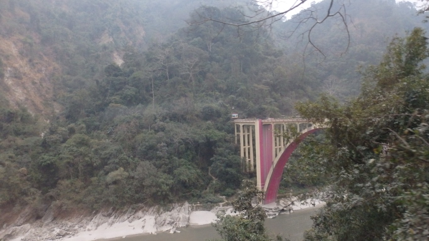
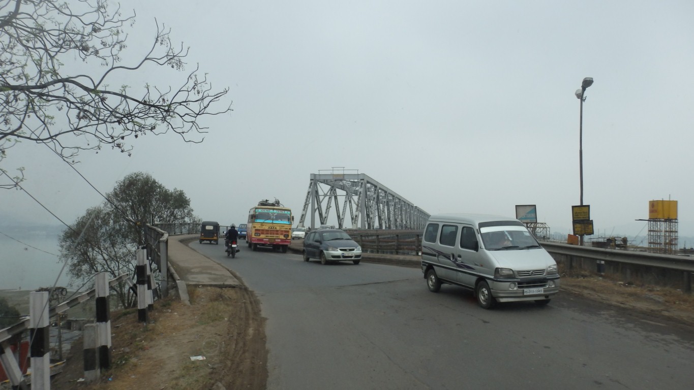
This is the Coronation Bridge over the River Teesta, a few km south of our camp.
We are not sure who's coronation.
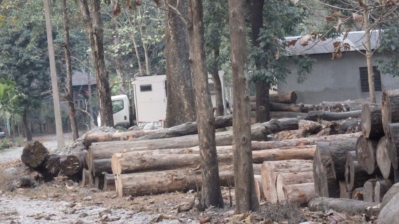
Having spent the night in a forest (after asking if it was ok) they had been told to move on next morning and were persuaded into the forestry office for a "formal caution".
The officer in charge was a little bureaucratic but didn't seem to have a procedure to follow. We became embroiled without thinking and were shunted from one office to another. The bureaucrat called his superior.
We extricated ourselves and left them all to it, while feeling a little guilty.
The end of the story (known after we met before the border) was that the superior didn't turn up when indicated so Yannuk simply left.
A nice likely looking camp site.
Advised by local visitors that "this is not a good place" to spend the night.
But we never figured out why.
Another forestry office was welcoming but in their grounds, not the forest so we thought we'd eat some more km.
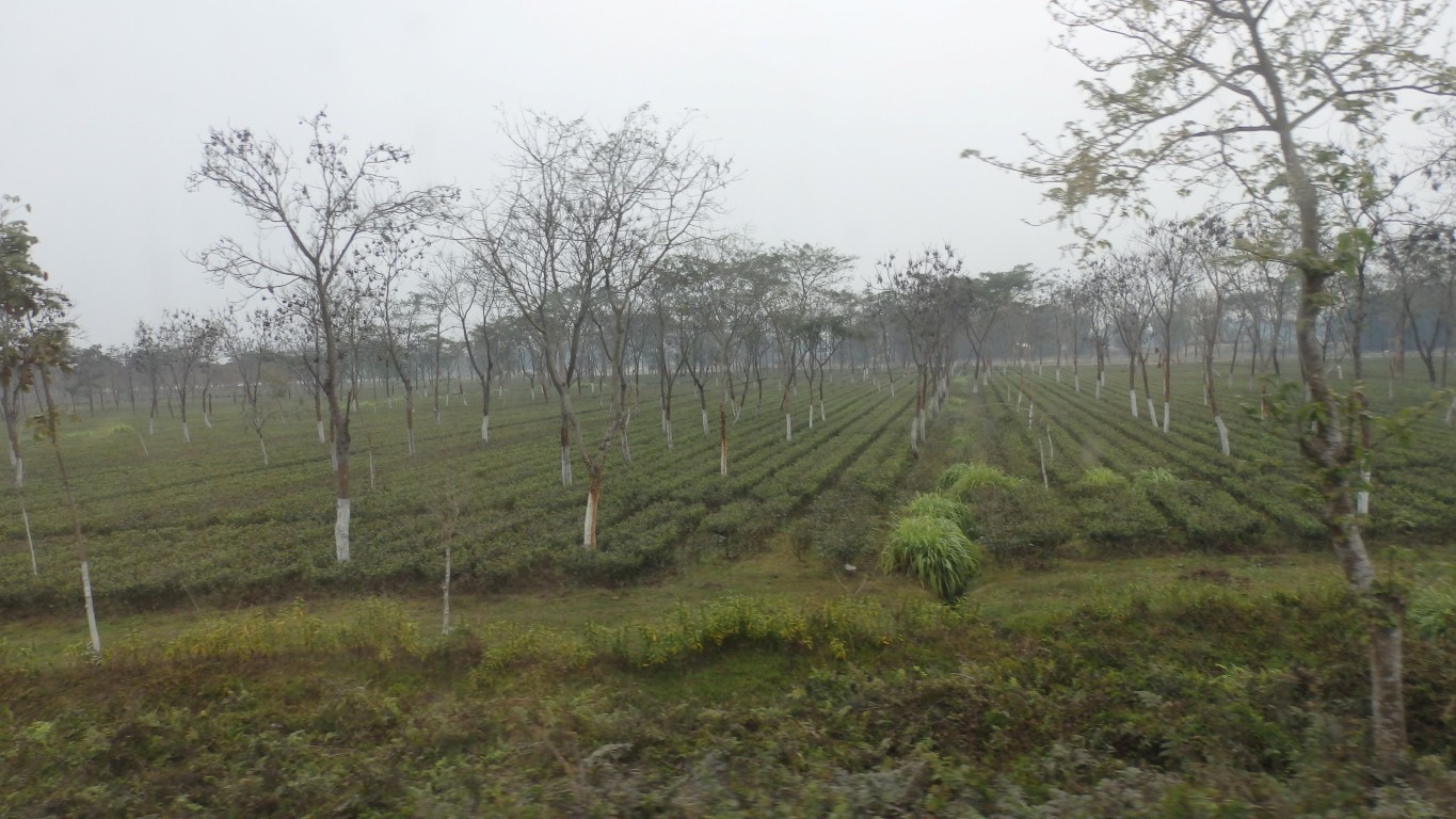
Confused, as I thought the good tea grew at higher altitudes.
Quite correct.
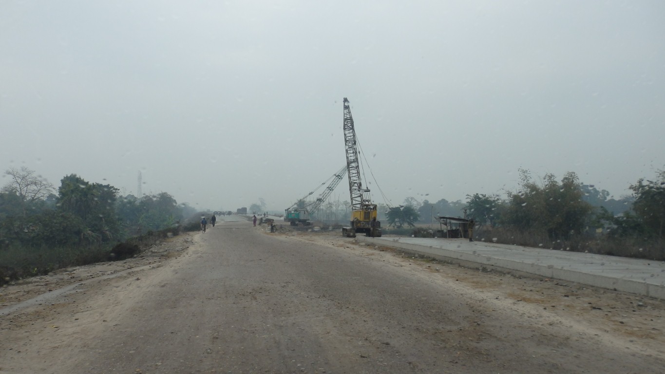
For some of the length.
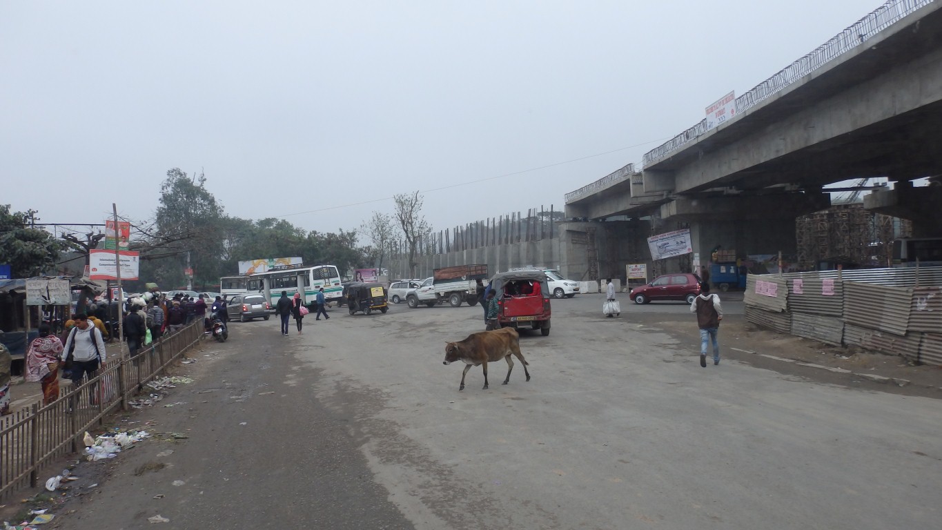
For the rest of the length perhaps "under construction" could be added.
Indian infrastructure project management hasn't yet stretched to building bridges and road beds at the same time.
The concrete beams are reinforced and cast in situ. Good for employment but perhaps a small indication of why the Chinese economy is growing faster than India's. Difficult to enjoy all the benefits of good infrastructure before its finished.
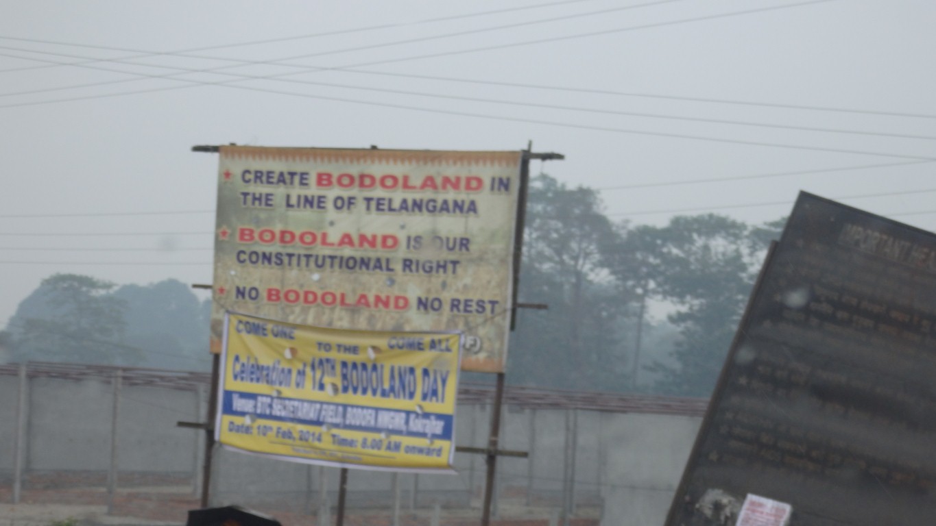
Looks like someone wants to split the state in two.
Further east we met signs saying "don't".
Its a grey day. Light rain on and off all day.
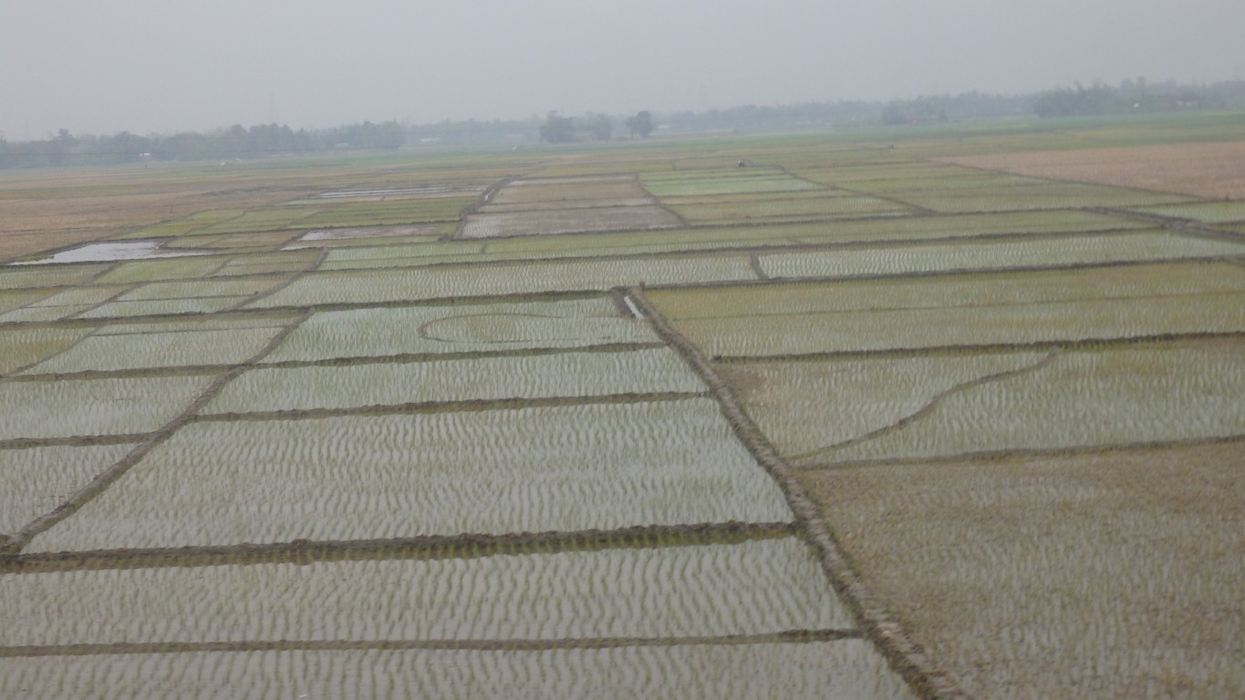
Flat.
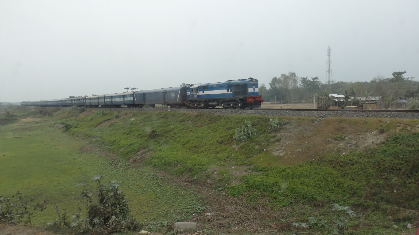
Long trains with single loco.
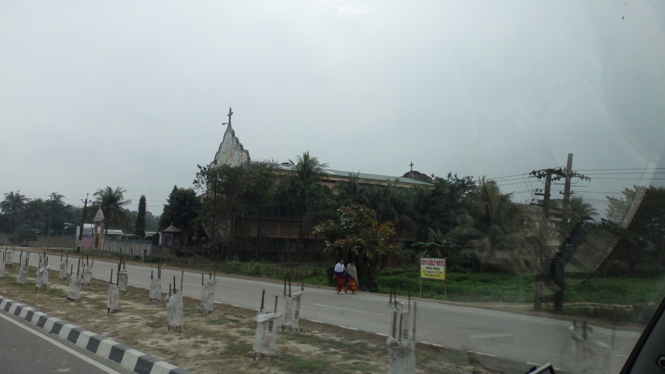
A cross, on a church?
Totally unexpected.
What next?
It didn't seem to fit with our brief perception of the state of the local economy.
Through Arunachal Pradesh emerging onto the plain to our north east.
We cross it just north of Guwahati.
Also, a bit of a minor milestone. We are now just a little further east than Lhasa. About 50km.
September 25th, nearly 5 months ago, when we were in Lhasa was our previous most easterly point on this section of travels.
"Seems like years ....".
Think how much water has flowed under this bridge .... (couldn't resist ...).
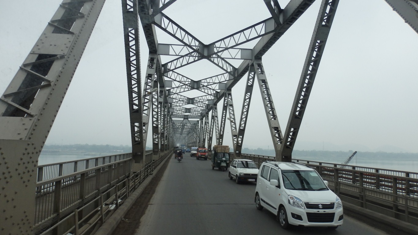
Rail lines under us.
However, without internet (Vodafone India has disowned us and even our travel sim card doesn't work) we don't have an address.
Rather than spend time searching for internet cafe then finding an address we opted to continue independently to the border.
We think a day's rest before the border for pain relief and truck wiring modification will be more use to us than a day in the big city.
They later sent us details of roads and other useful info.
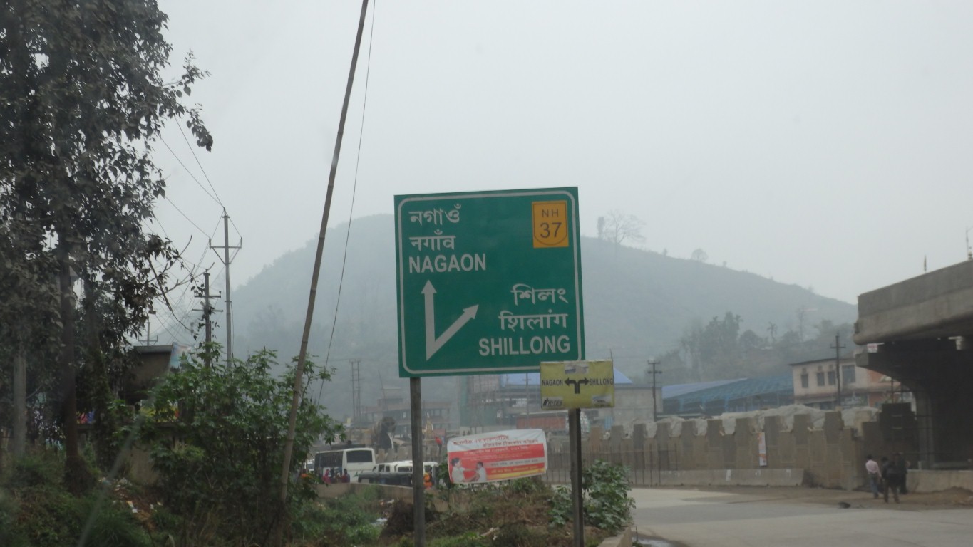
Nagaon is where we are headed, on highway 37.
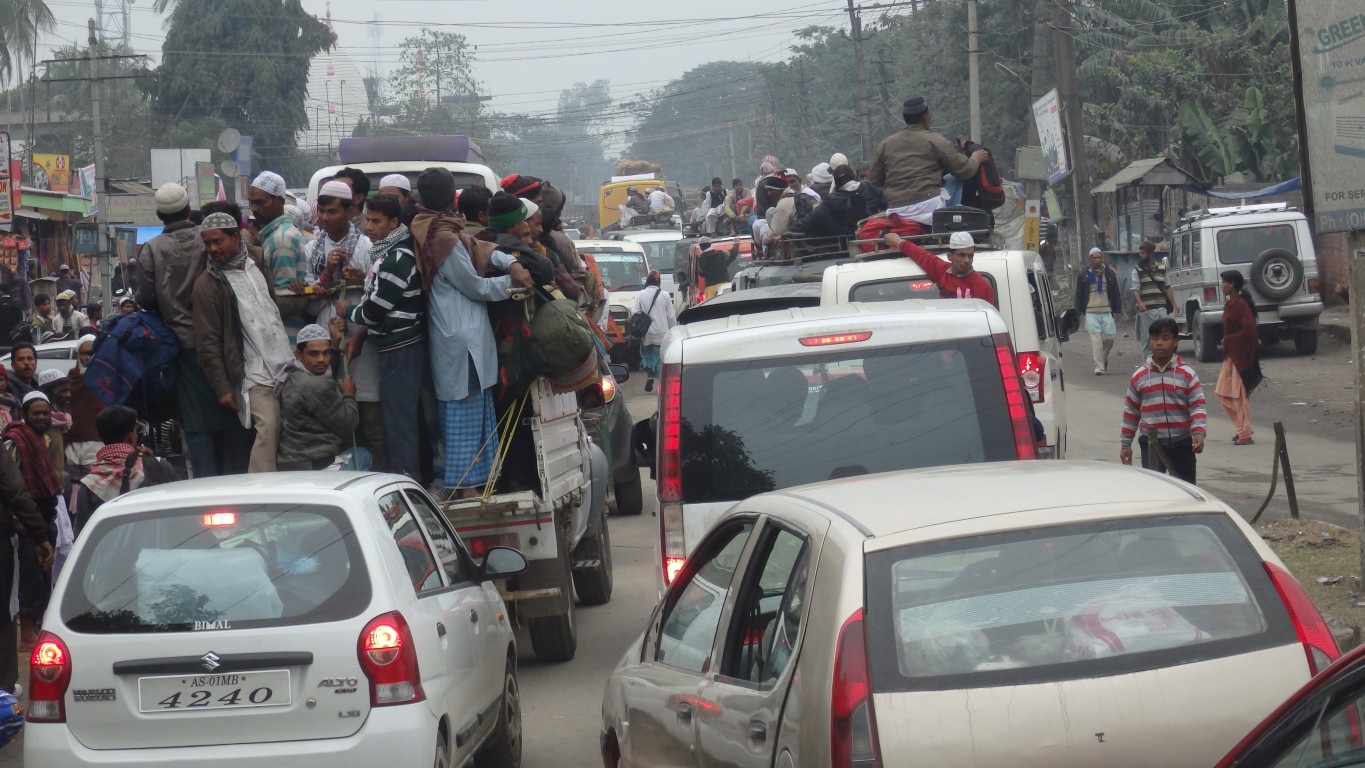
We followed the crowd for a two hour diversion as there weren't any further signs.
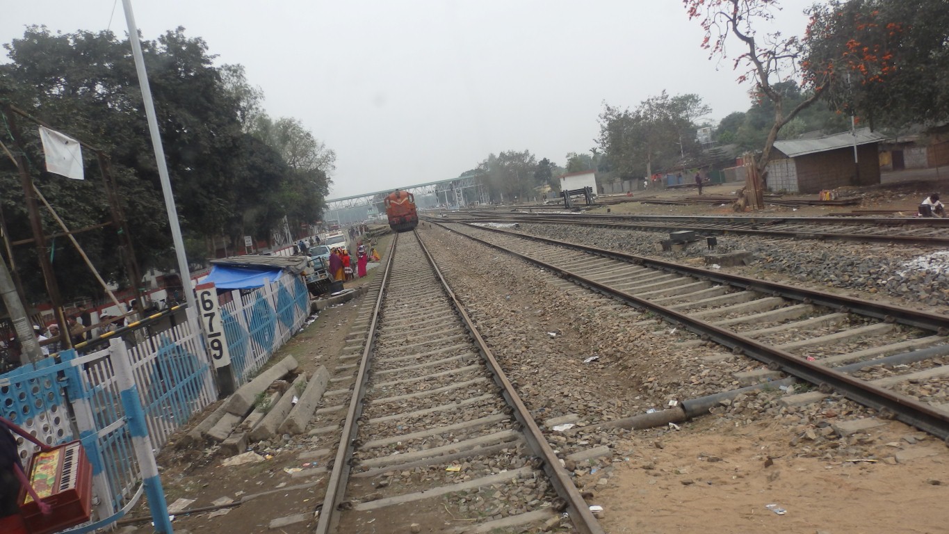
Don't stop on a level crossing.
We managed to break it briefly. In the interests of filling the gap between us and the truck in front before someone else did.
The train was stopped.
The barriers remained up.
We were a bit intrigued.
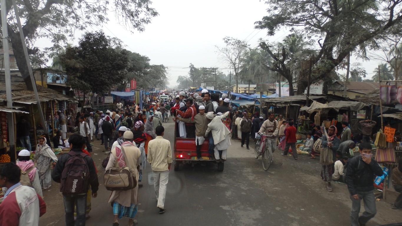
Obviously a muslim area. And a reliance on transport other than buses.
Fascinating watching "who gets on which already overloaded truck" get sorted out.
No mosque in sight.
Eventually we emerged onto the Nagaon Bypass.
Camped at the first "Indian Oil" servo after a tiring day of 277km.