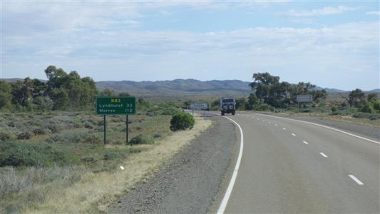
But first we stopped at Copley for quandong pies.
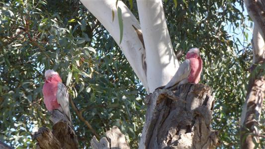
And these two sentries who insisted on building their nest close to our campsite.
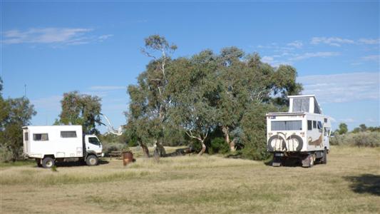
Farina was once the rail head where cattle from the interior were loaded.
The telescopic pole for mobile internet modem once again demonstrated its value.
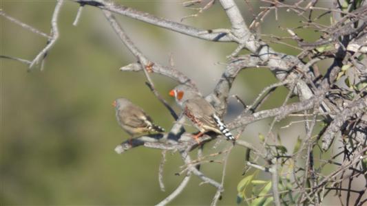
We didn't need the bird book for this. But are still annoyed at leaving it behind.
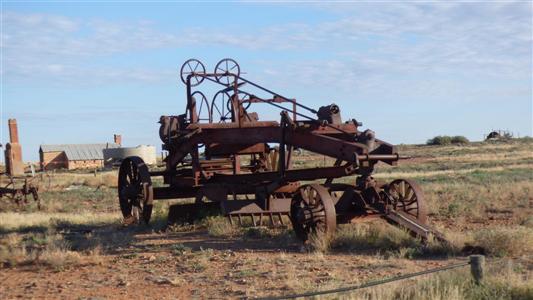
A fascinating piece of machinery. Adjustments in all directions, and a few more.
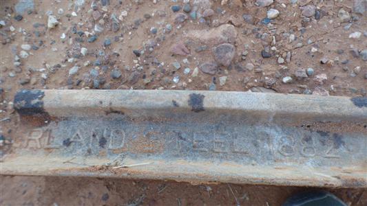
West Cumberland Steel. 1882.
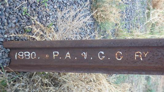
It looks American.
Quite possibly from the Cambria Iron Company of Johnstown Pennsylvania (about 50km west of Pittsburgh) which around 1880 was producing rail steel for the Pennsylvania Railroad.
I could well be wrong. And I have no idea what GG is an abbreviation of.
Edit:- a query to the Railroad Museum of Pennsylvania found someone (Lauren) with superior research skills to mine.
P.A. &. G.G is "Port Augusta to Government Gums Railway".
Farina was originally named Government Gums.
The steel was probably made in Barrow (Cumbria). England, not America.
Nice to see it embossed with customer's name.
Not something I've observed previously. Perhaps just a very large order (I'm guessing 2000km of, I'm guessing, 60lb rail) of about 50,00 tonnes. Or perhaps an unusual section to match the unusual steel sleepers.
The contract to extend the line to Farina was worth £578,944
Next time I'll visit Pitchi Ritchi (restored steam train using restored part of original track) and look at both sides of a full rail length.
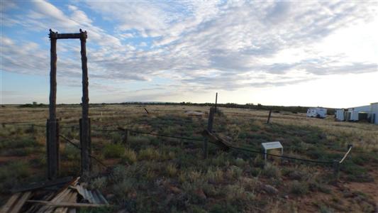
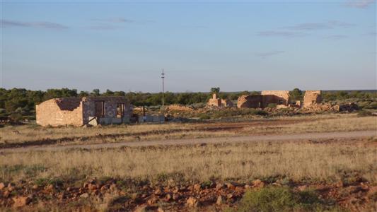
Farina is being turned into a museum.
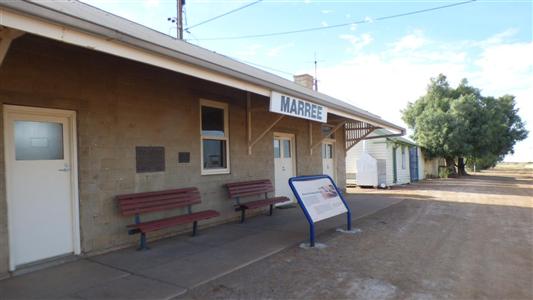
We filled our water tanks next to the information centre.
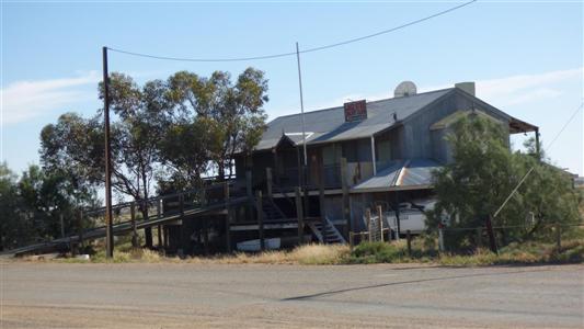
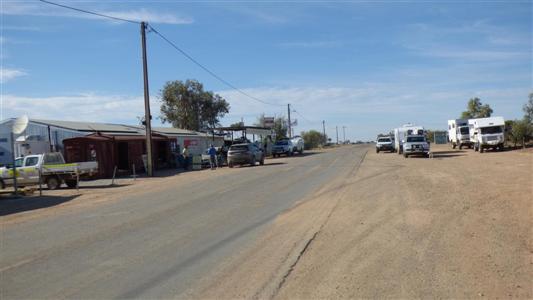
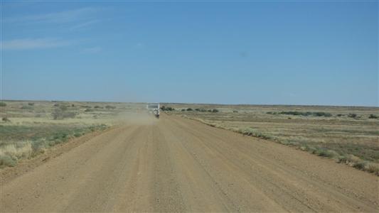
We are now on the Oodnadatta Track.
I don't know why we persist in labeling it a track.
It is good, unsealed, road.
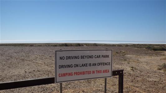
And followed a small tour bus on a track down to the lakeside.
I think we are making hay while the sun shines. Wondering what next will be placed out of reach.
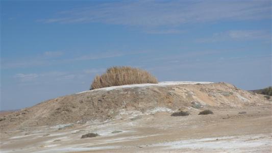
By the roadside. It looks almost extinct.
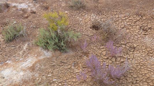
This country is arid.
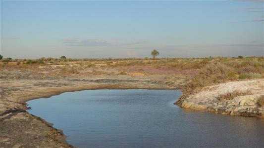
Having set up camp we headed north west towards the Warriner Creek.
Surprised to find some water in it.
A couple more km and we would have been in the dune field leading to Lake Eyre.
There are tyre marks in the sand from Beresford which cross the creek and continue to the horizon.
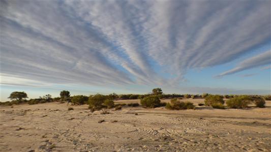
Admiring the sky.
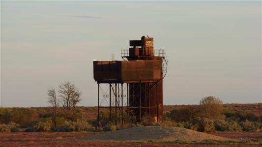
The water needed softening.
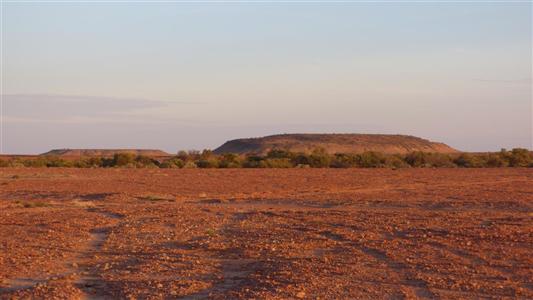
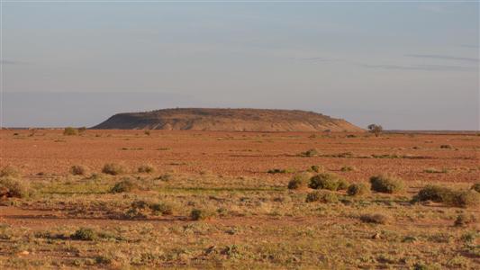
A bit too far to walk and stand on top of.