

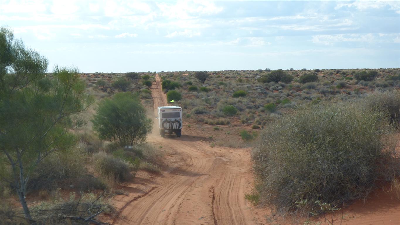
A straight line, created for a French oil prospecting company in 1963.
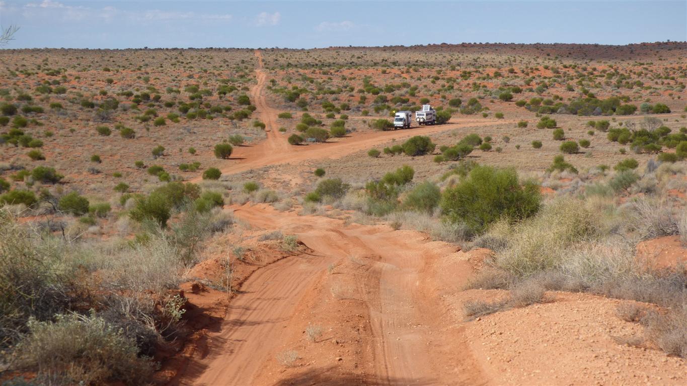
The Rig Road is better engineered. Designed and built for heavier equipment required for drilling.
It is clay topped in places, though that is partly broken with use.
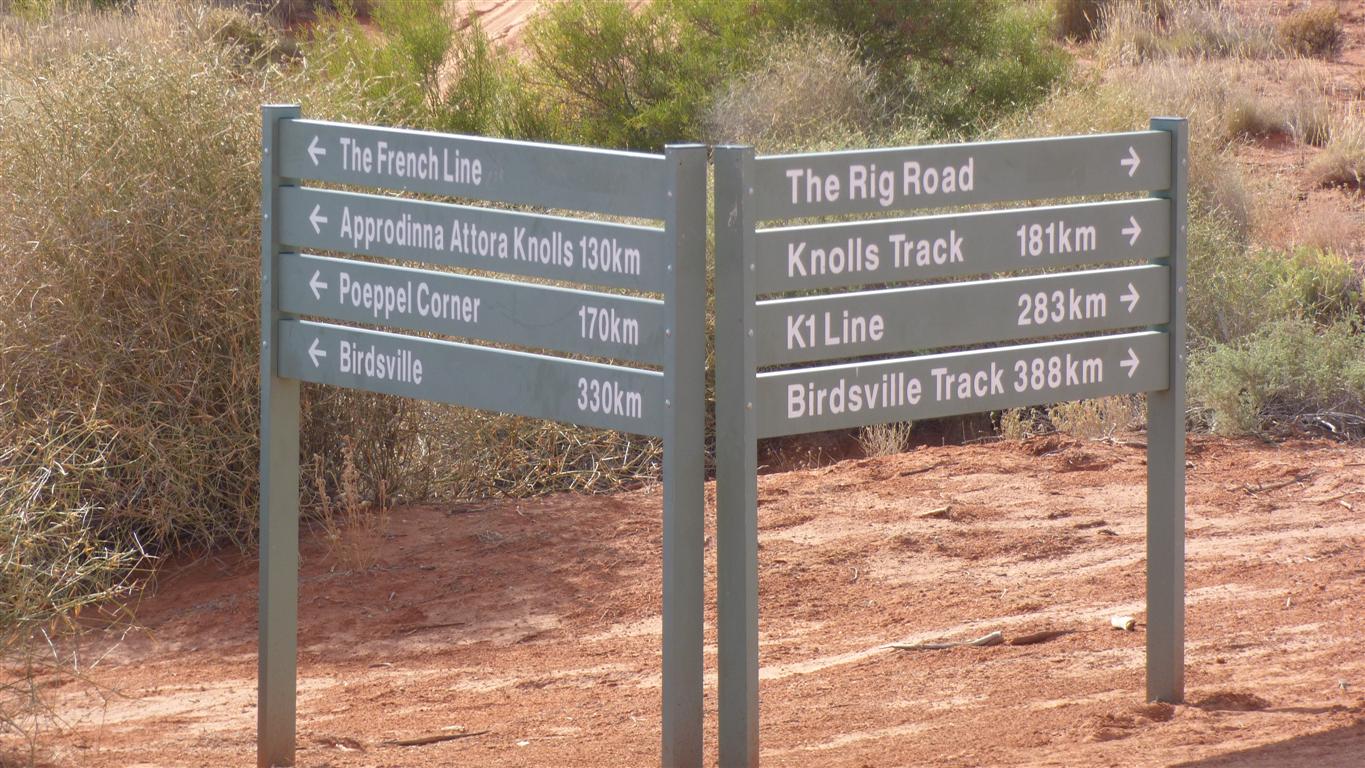
Signposts.
We turned right.
It will approximately double the distance to Birdsville.
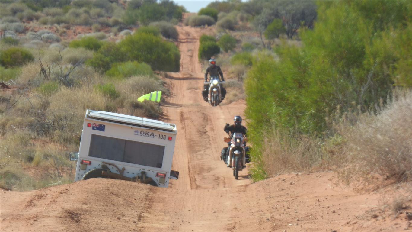
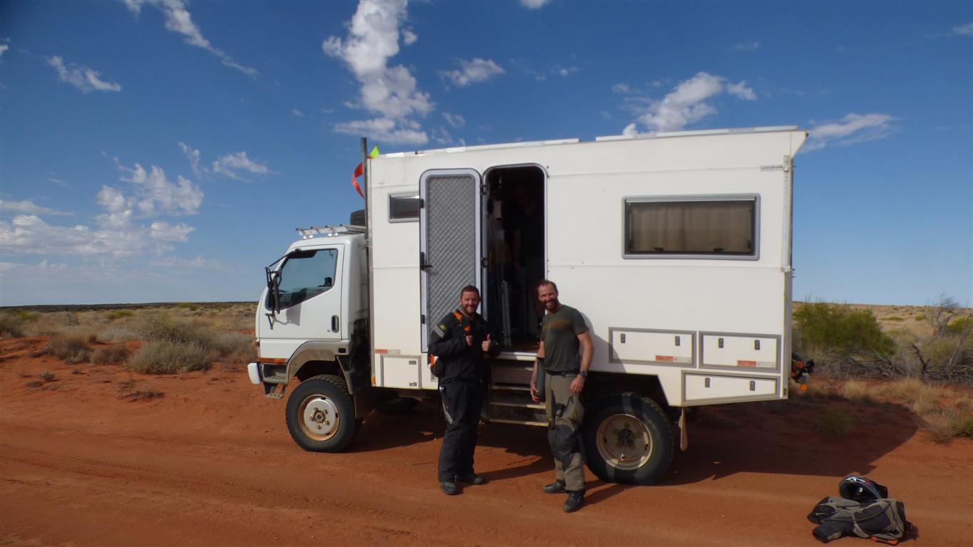
This is Piers (English) and Steve (Irish) following a loop from Dalhousie.
Limited by fuel and water.
We filled their water bottles.
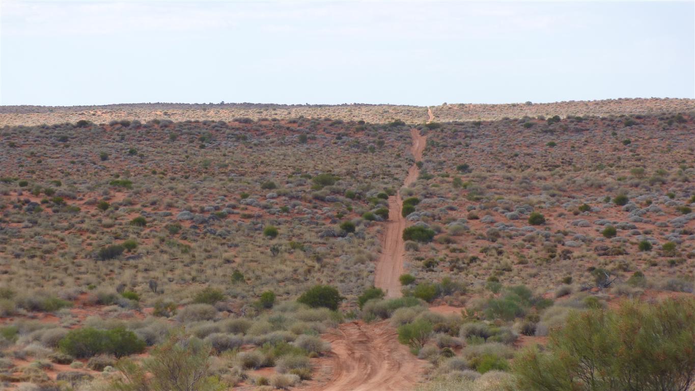
Hard to get lost really.
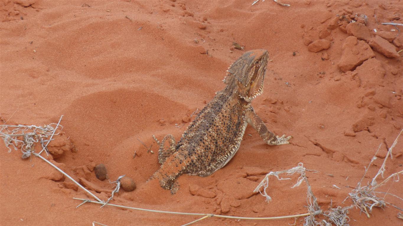
A dragon.
No fire. Didn't even look annoyed.
It was very still. Absolutely no movement at all.
The perfect photo subject.
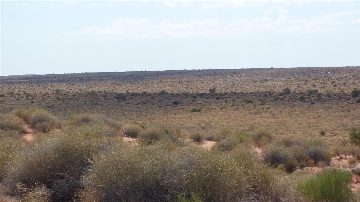
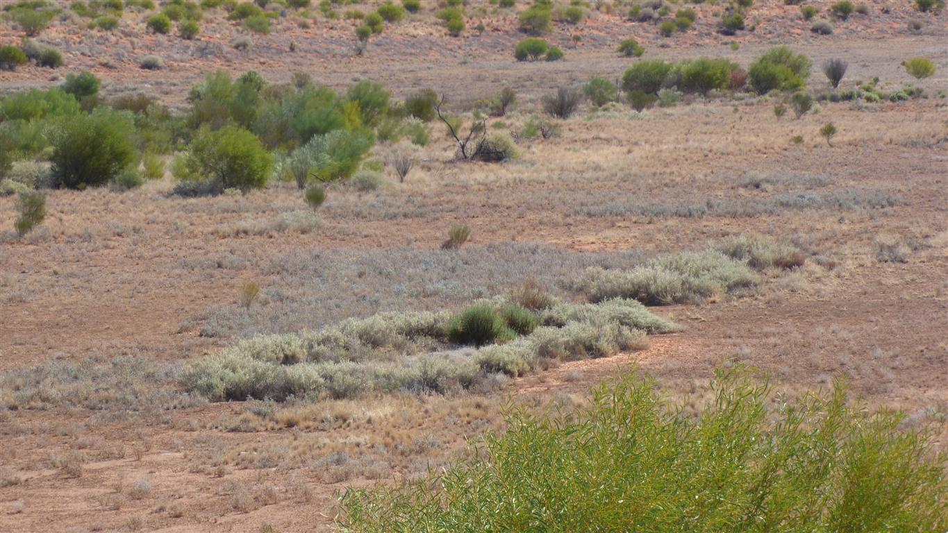
Vegetation on the tops is different to that in the swales.
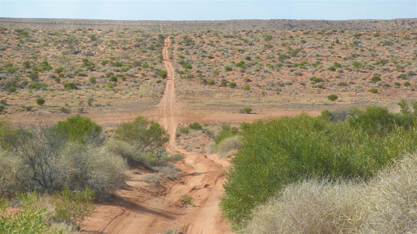
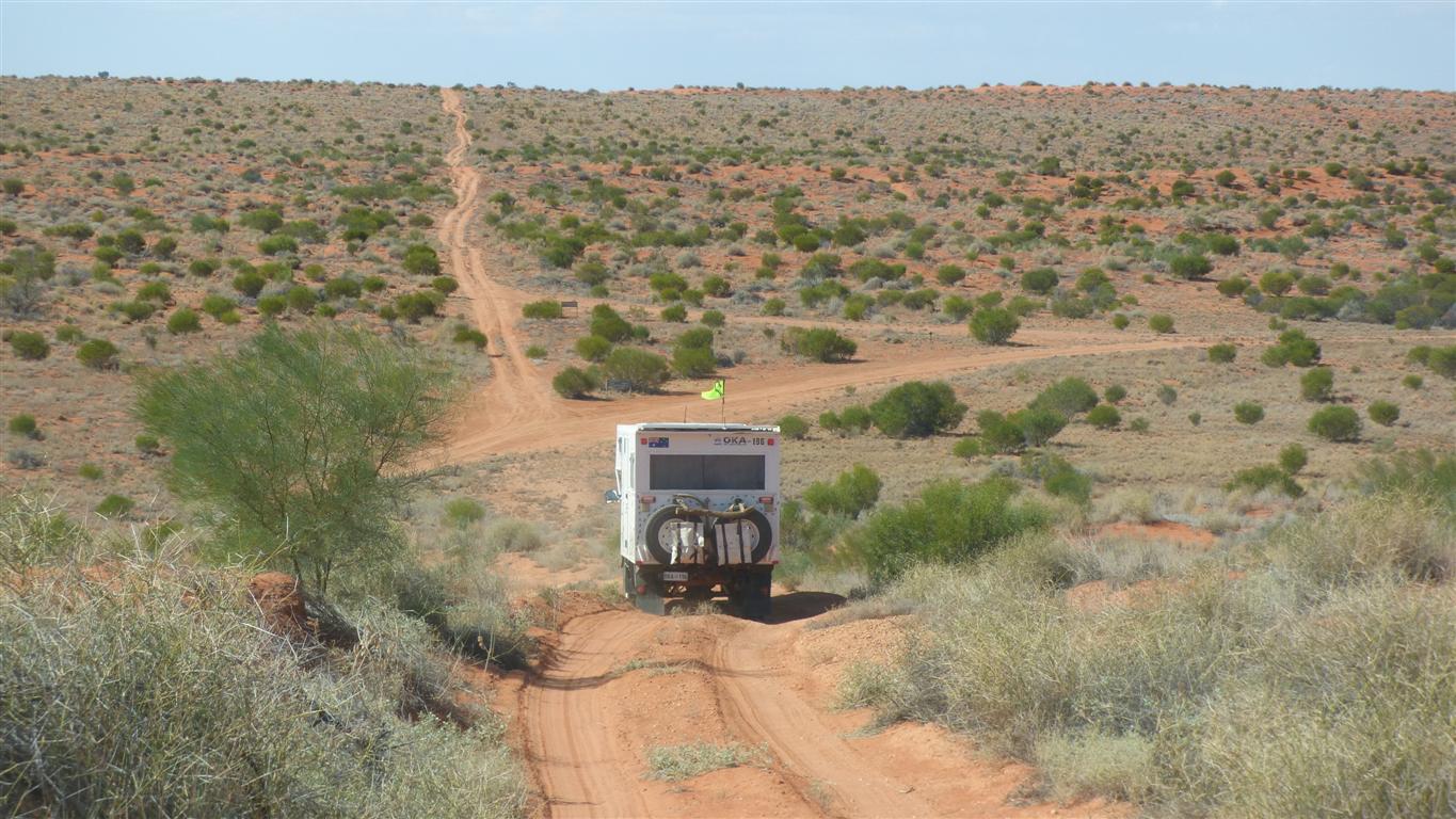
Onto the Rig Road.
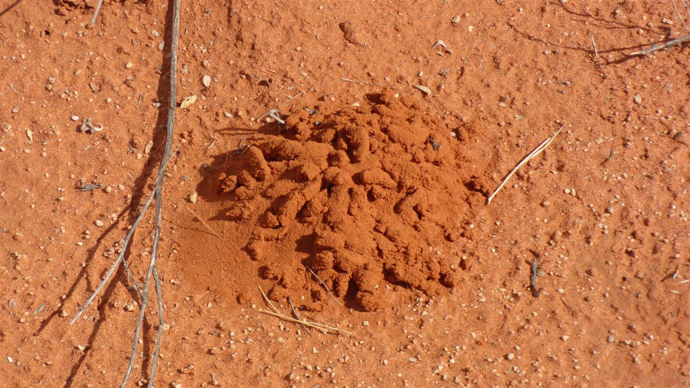
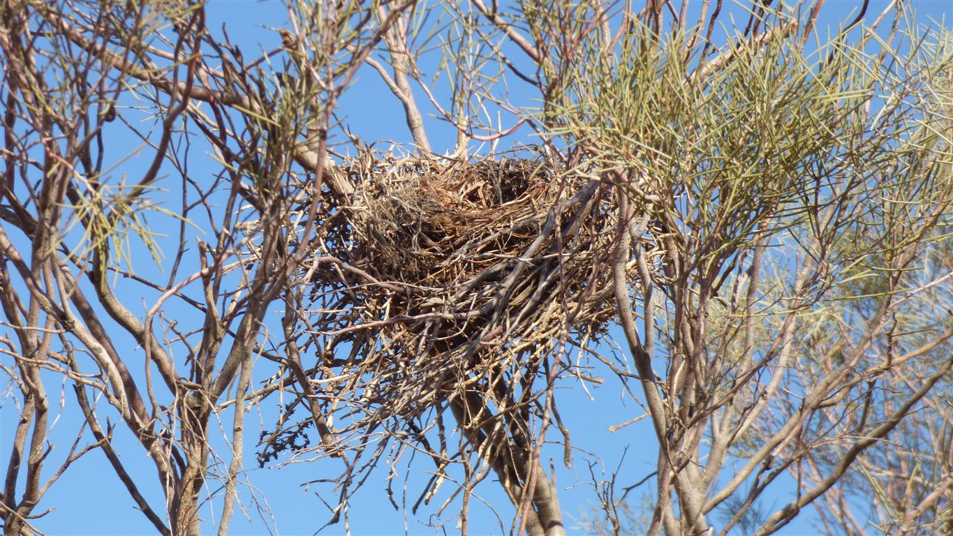
It looks like its been digested.
A cast?
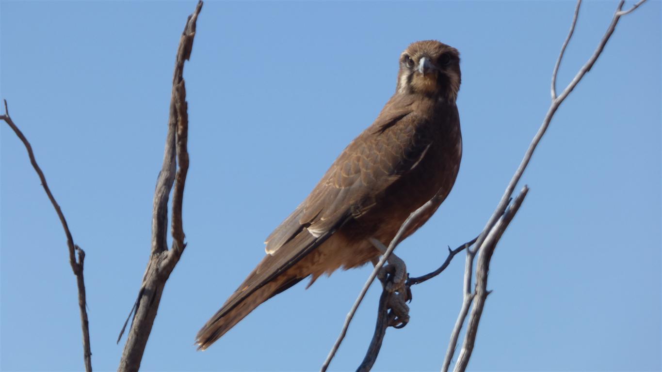
They seem to be everywhere.
We've had three drops of rain.
The airstrip to the right out of the picture looks like it hasn't been used for a while.
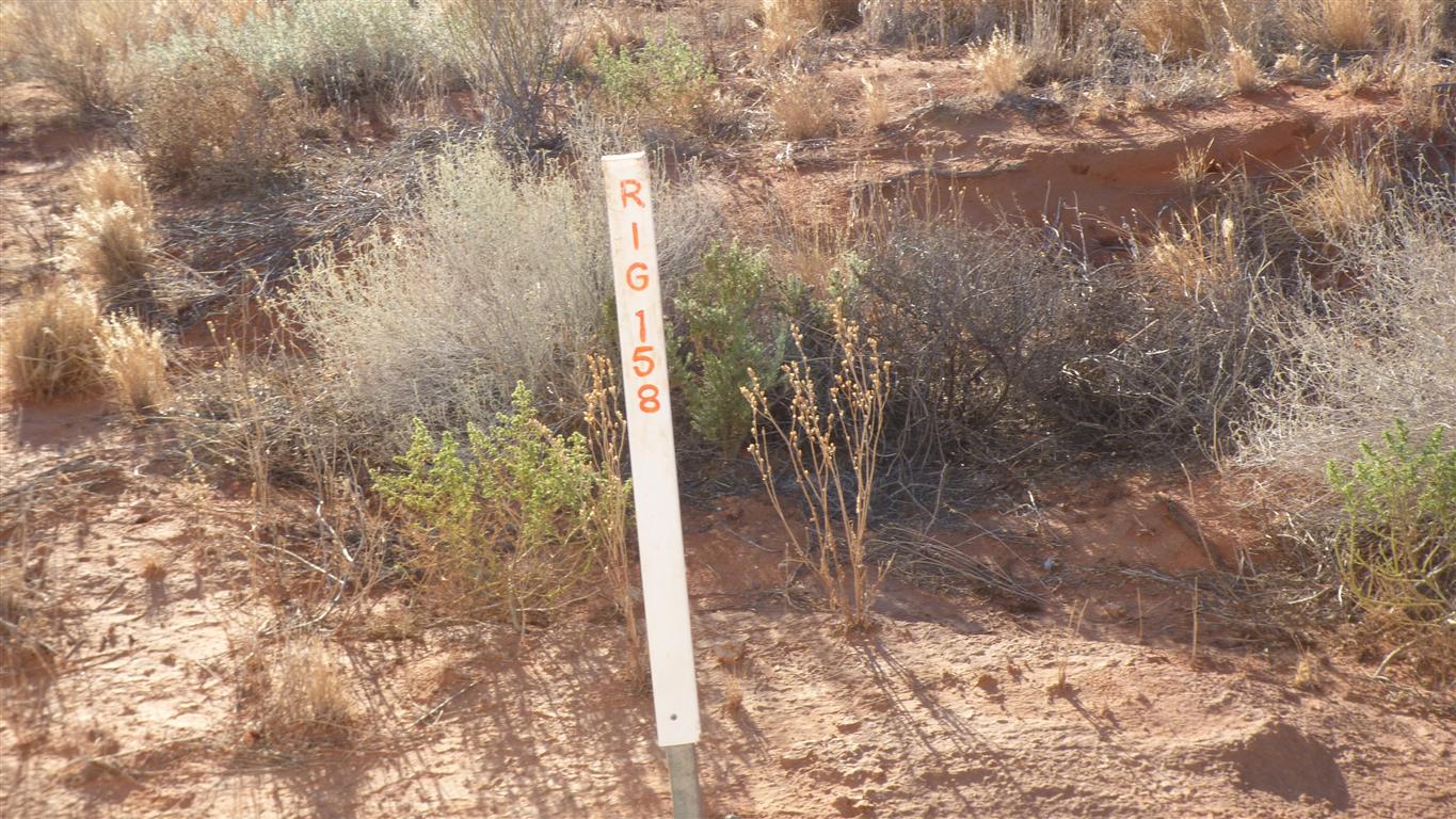
km from Dalhousie?
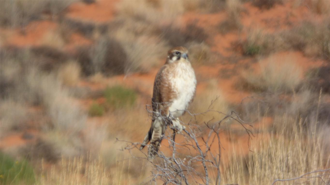
Falcon sized?