We know that the axle was received at Birdsville Post Office at 3pm on Monday (today).
We also know that the Post Office is open 10-12 and 3-4.
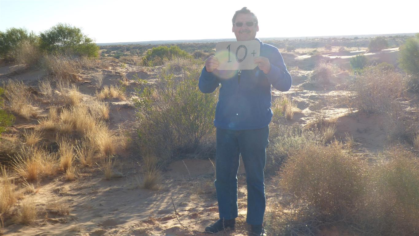
We'd talked of giving other drivers scores out of 10.
What a delightful send off from Peter and Margaret. We are still chuckling 10km along the track.
We reckoned a day and a half each way to Birdsville return.
The instruction was thus "on the morning of the third day look to the east" (with apologies to Gandalf).
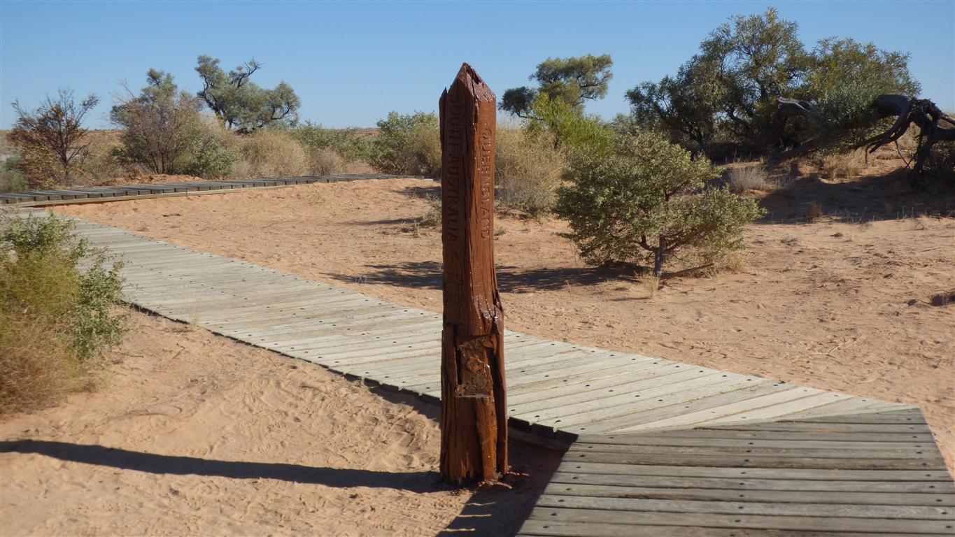
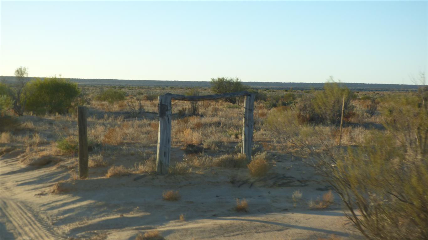
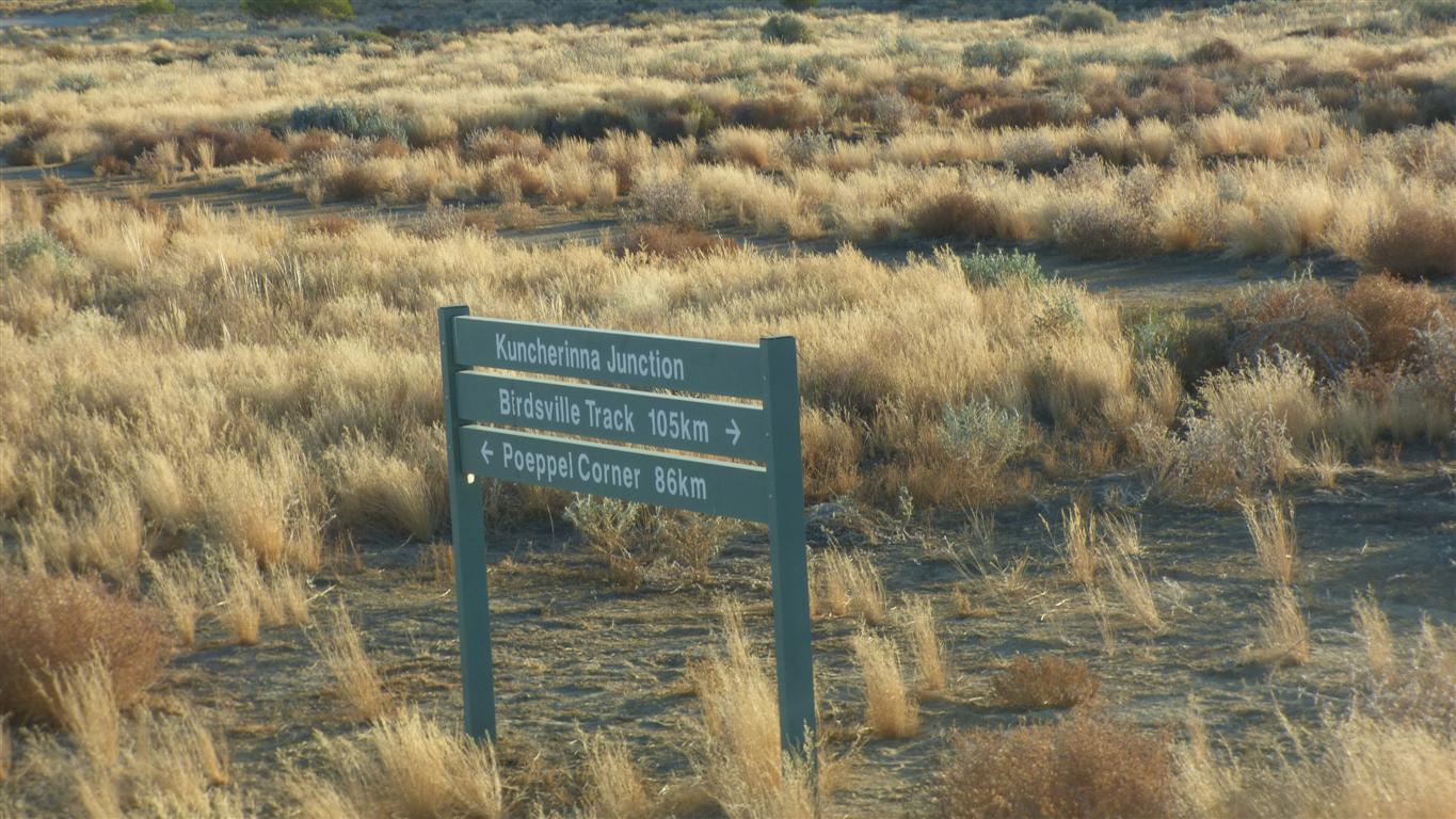
Where Queensland meets South Australia meets Northern Territory.
Poeppel's original marker.
Its been moved 300m east since Poeppel placed it.
Apparently his chain stretched.
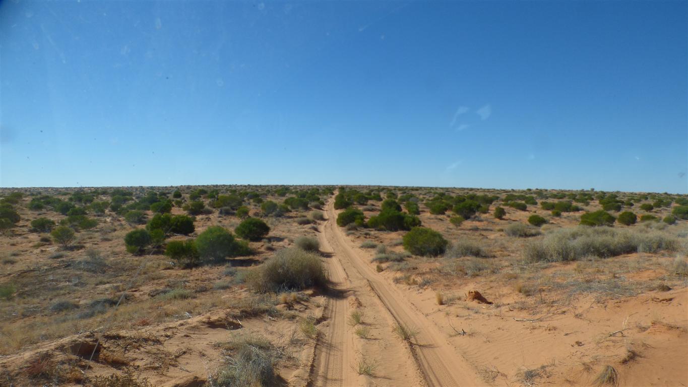
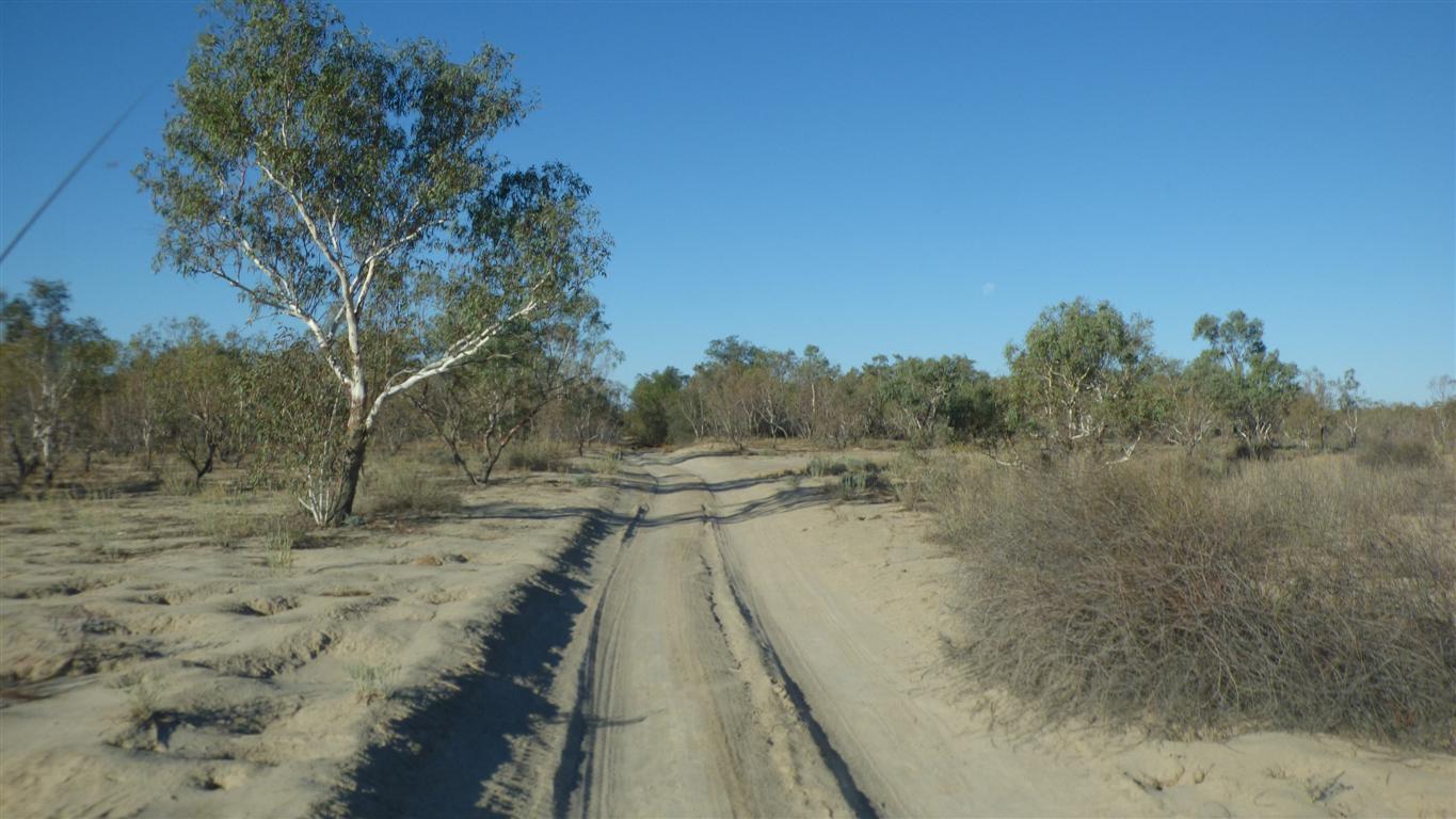
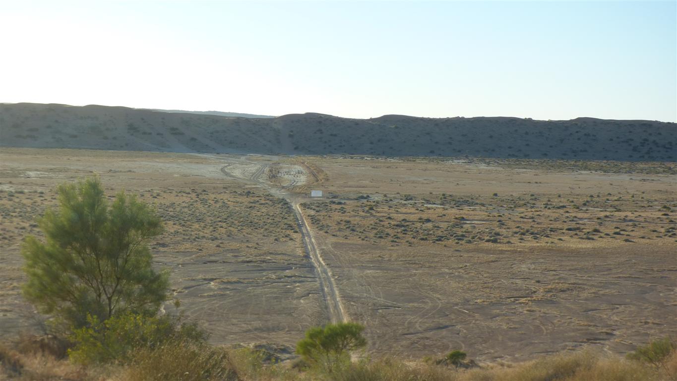
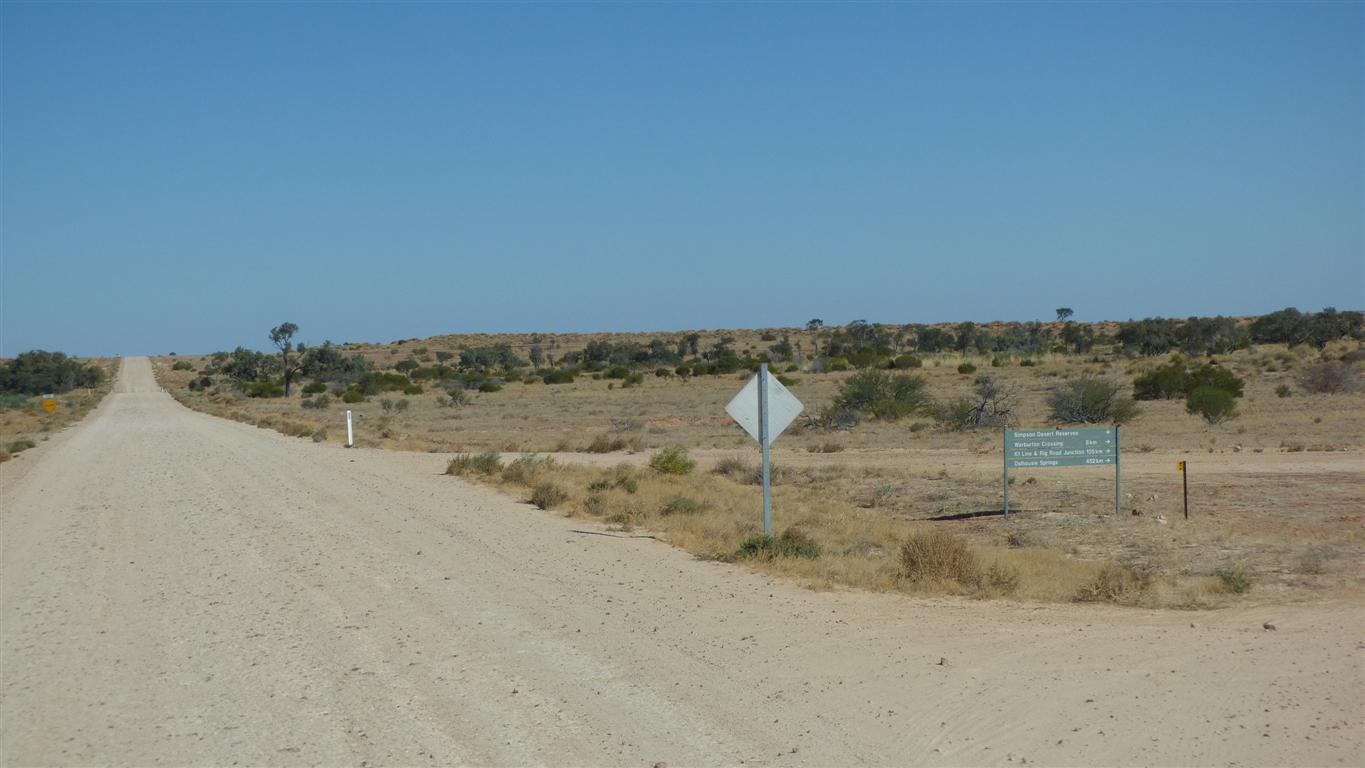
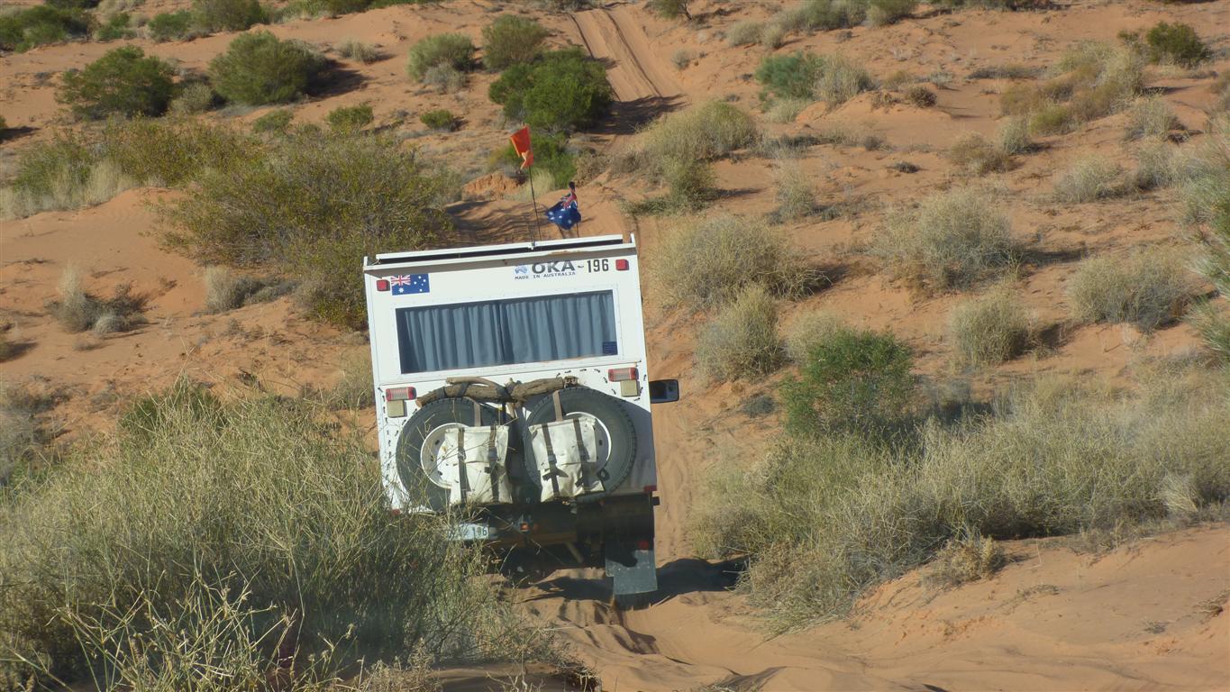
We had a bit of debate about whether to take the short hard way (QAA) or the long easier way (K1, Warburton, Birdsville).
We decided QAA going to Birdsville, long way return.
The dunes are steeper on the east side.
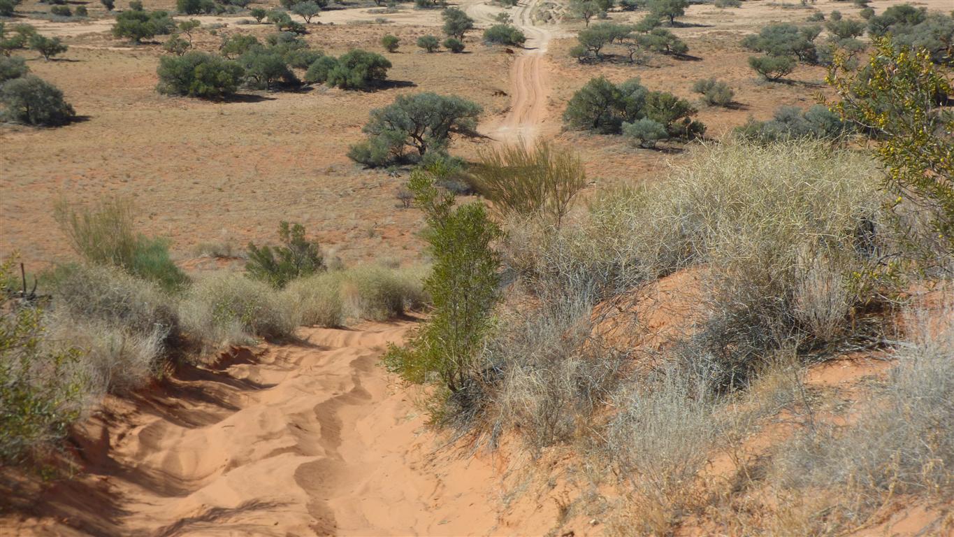
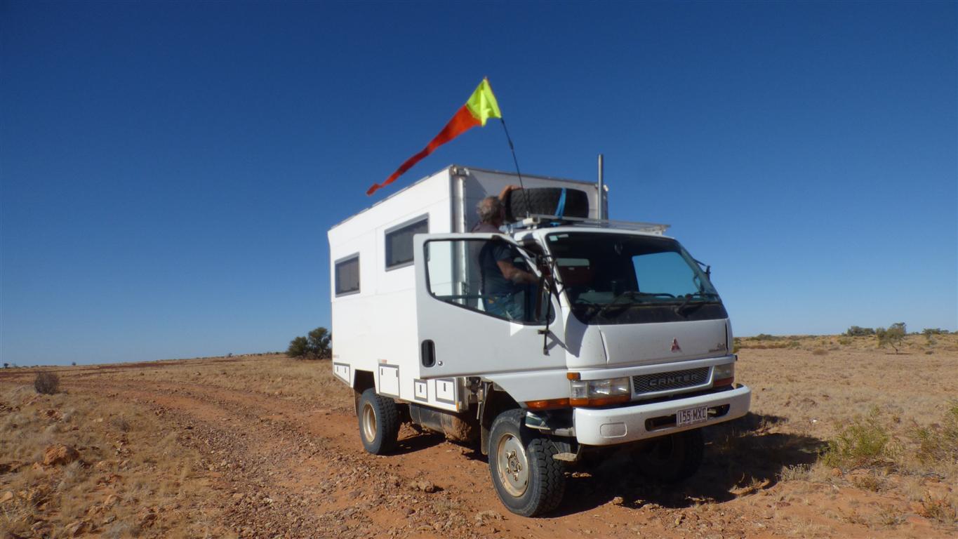
If we proceed too fast down the dunes our truck oscillates wildly side to side..
We proceed slowly so that we have a gentle rock in one direction, then the other, rather than something less controlled.
A little more rain perhaps.
Almost green.
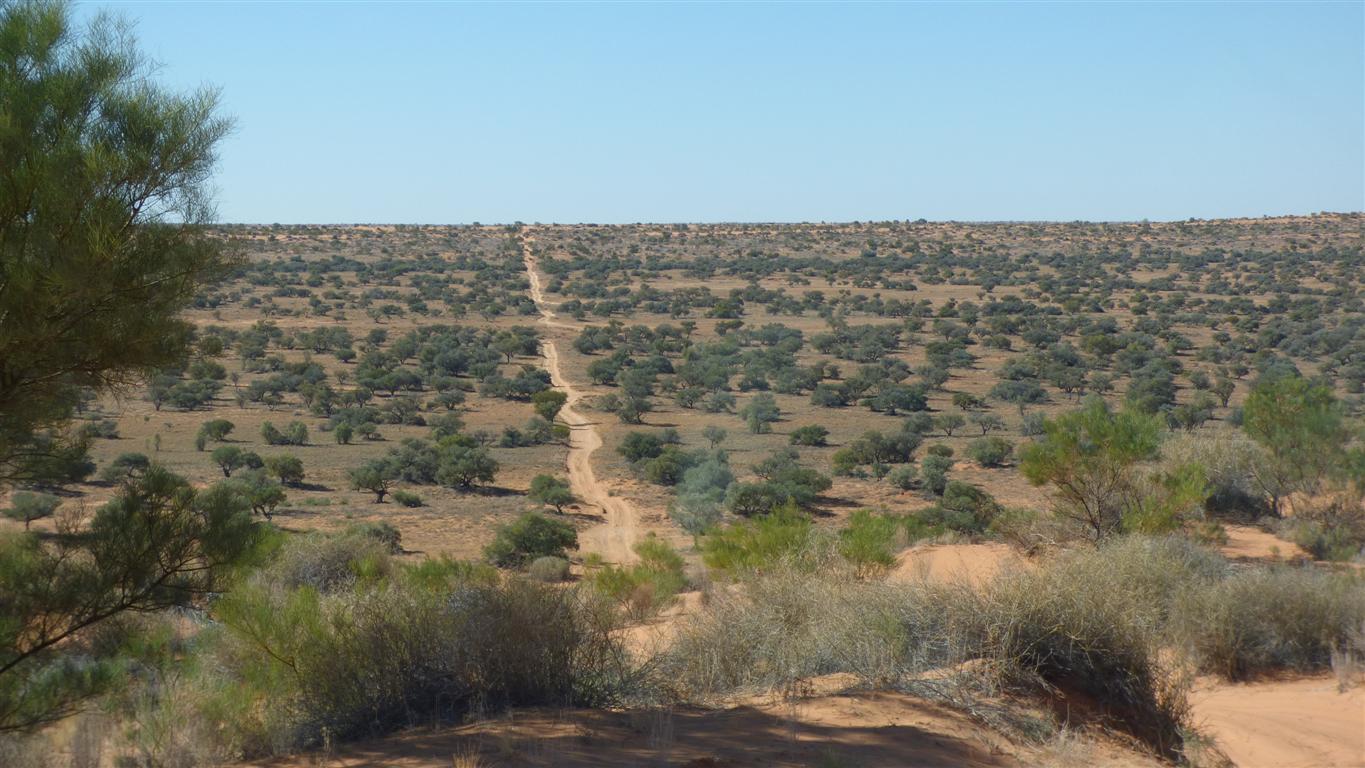
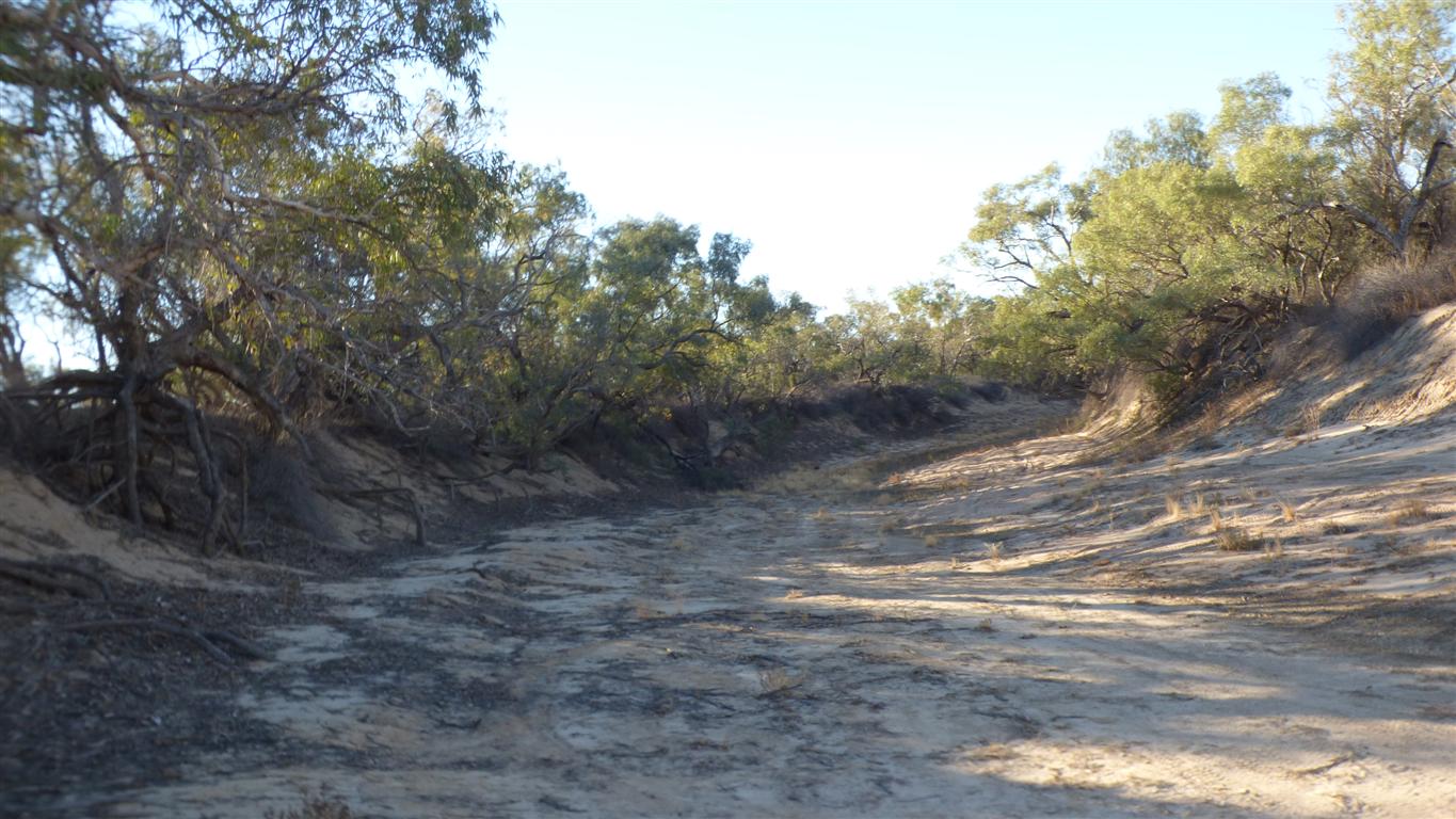
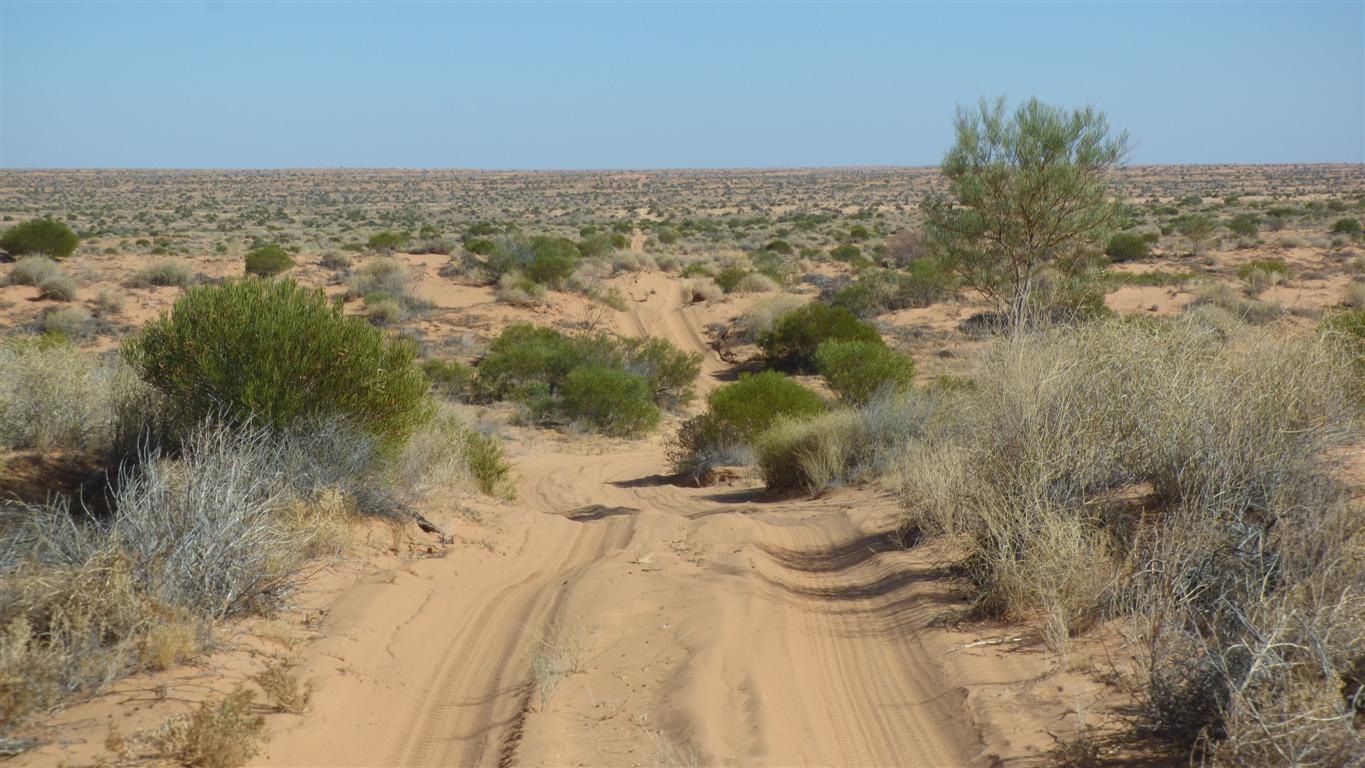
The K1 Line, through Peoppel Corner is roughly the extension of the Hay River from the north west if it were to flow rather than be swallowed by the desert.
There is a Hay River Track that runs on flood out between dunes.
Driving on some tracks is not permitted these days.
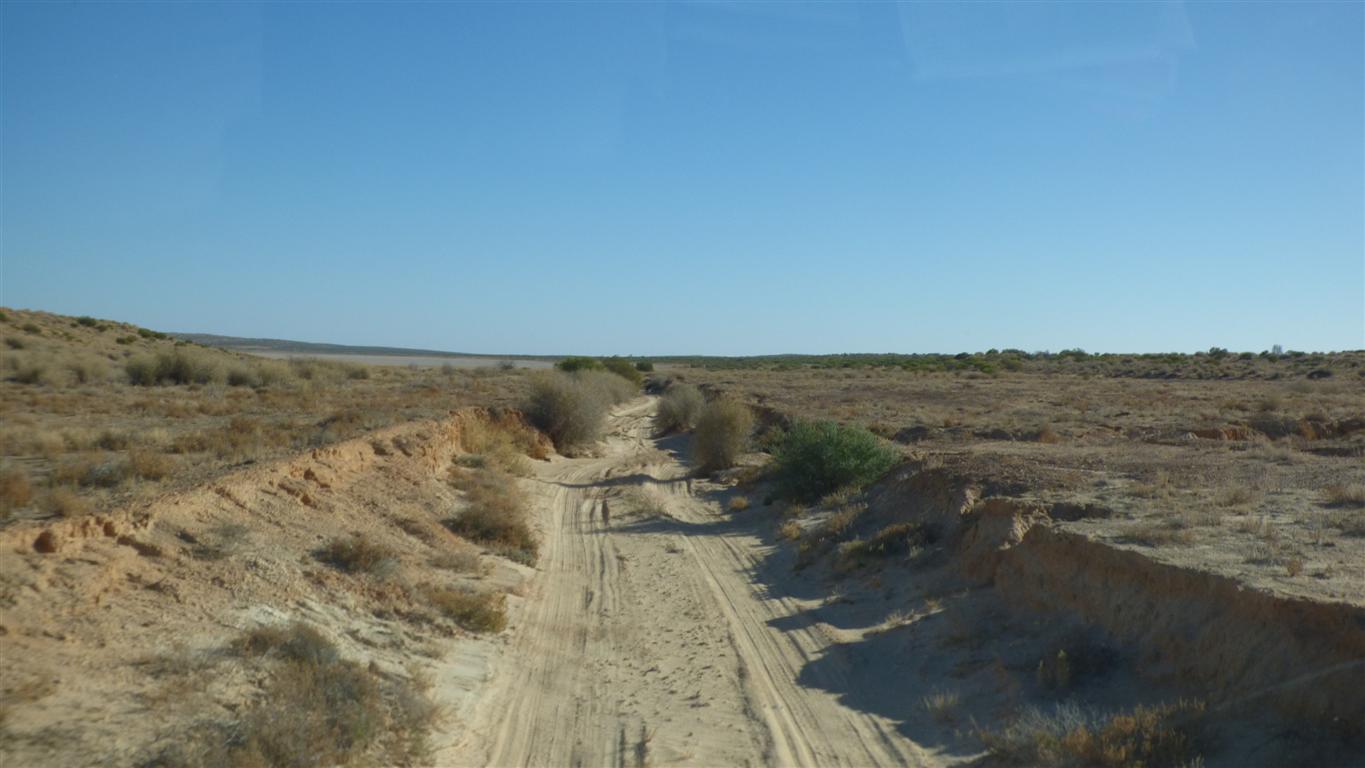
East of the Hay River is noticeably different to west of it.
Constantly on the alert at the top of dunes where we seem to meet.
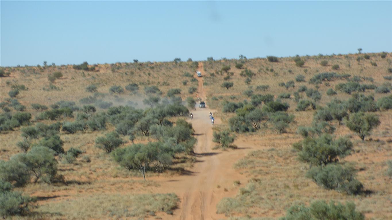
This lot, bikes plus support, were easier to see.
There's a lot of people on their way to the Finke River Bike Race. Starts in a couple of days so they are in a hurry.
I guess we each have our different reasons for being here.
Some of the bike riders have to come to abrupt stops when confronted with the reality of 4.5 tonnes of steel crawling over a crest in front of them.
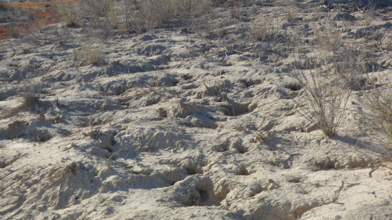
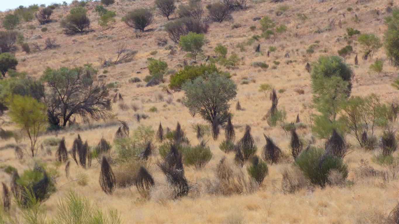
Not sure how it forms, but it looks a bit bumpy.
Its been a bit wet sometime recently but dry and compacted now.
Dry as a bone.
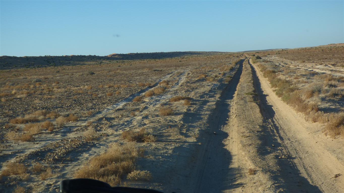
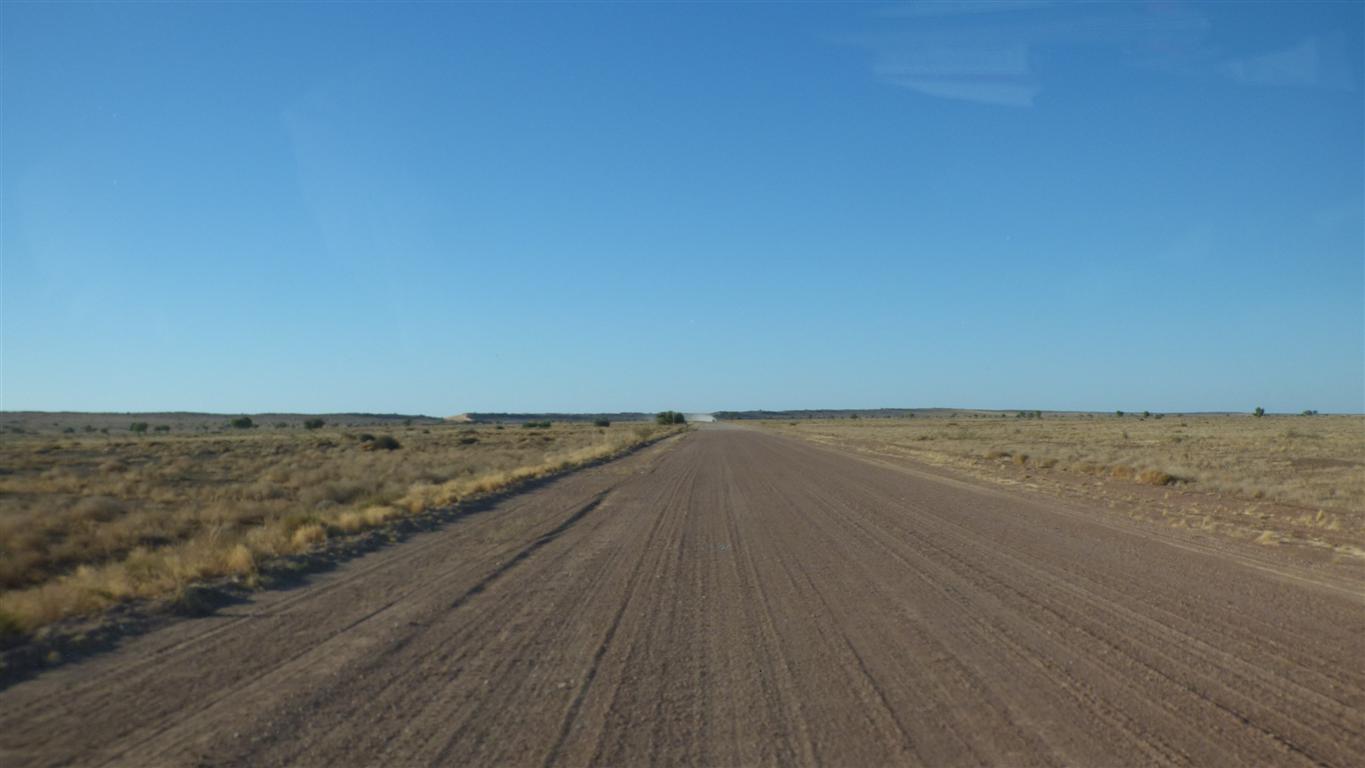
We've been driving for 8 hours. Average speed 16.5 km/hr.
Ready for an early start Wednesday to be in Birdsville by 10am.
We are unfortunately headed into the sun, but it soon rises.
We pass a few campers not yet ready to start their driving.
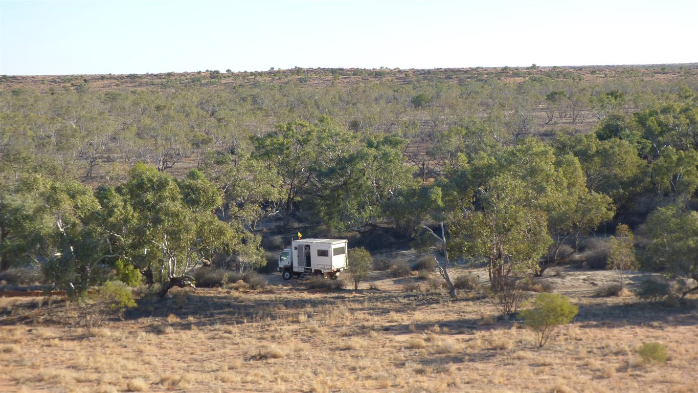
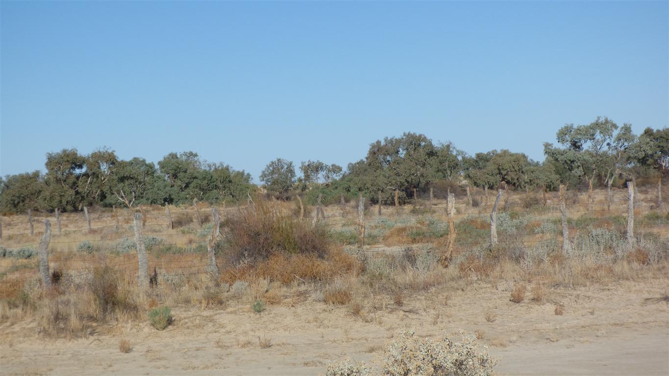
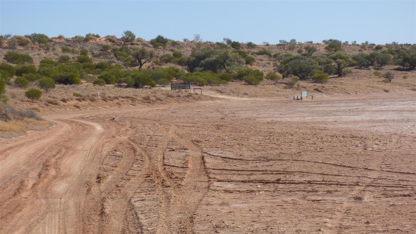
We are out of the National Park into private station property.
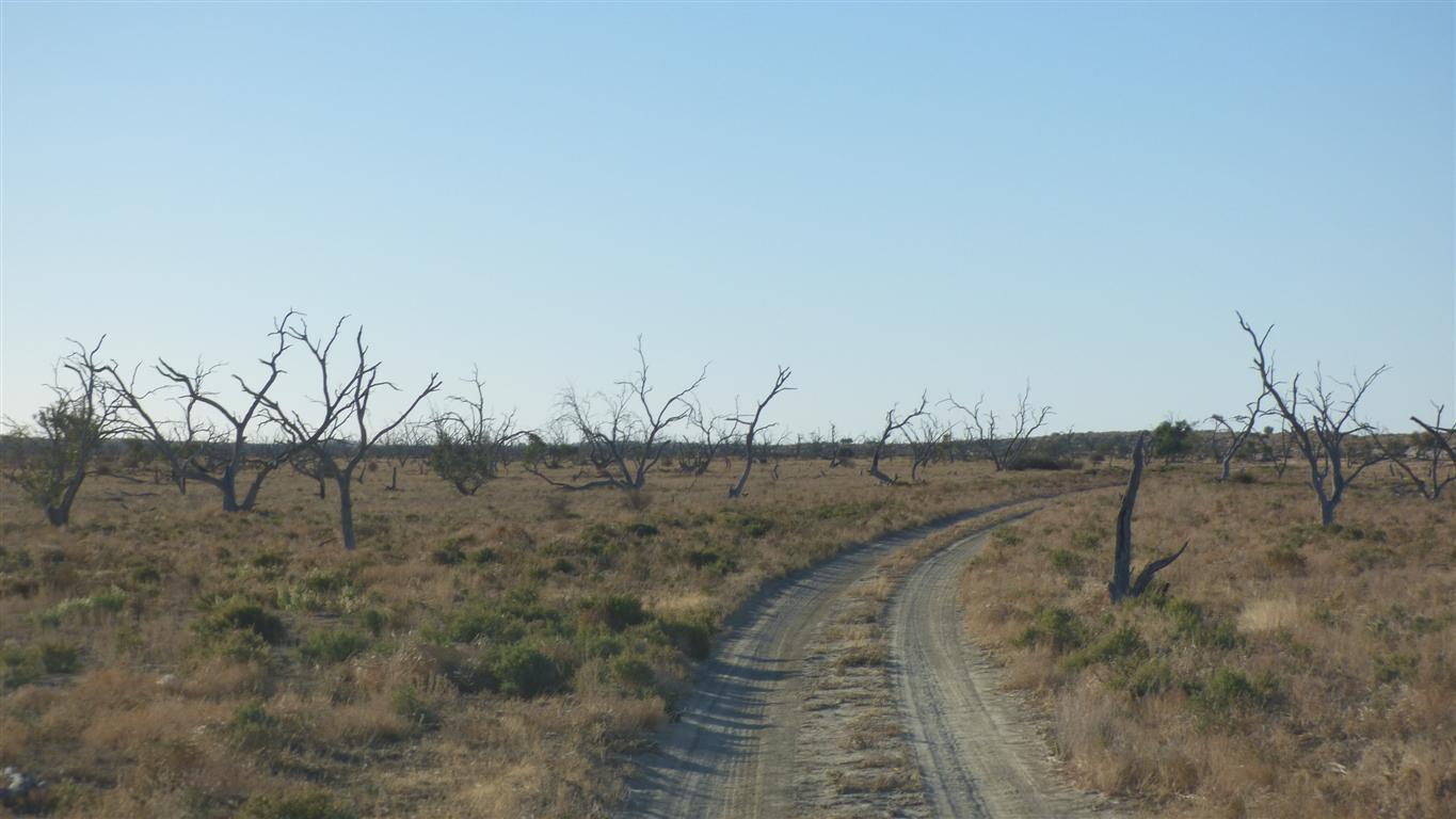
This is the last real dune before Birdsville.
The highest.
Big Red.
We have nothing we wish to prove.
"Little Red" is through that dip on the left.
We got complacent and needed two runs at it to get over. Too lazy to let a bit more air out of the tyres.
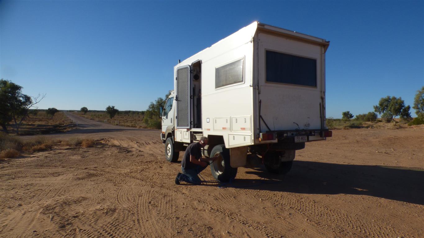
Its really about load, speed and pressure which show as tyre temperature.
Or perhaps max allowable tyre temperature with any variation of load, speed and pressure as long as max temperature isn't exceeded.
There are also wear and comfort considerations.
More pressure allows us to drive faster. If track/road conditions allow.
Reduced pressure gives us a larger footprint and better traction in sand (and mud). Without that we would easily become bogged.
We had 25psi for most of the time since Dalhousie.
Up to 40psi for last km to Birdsville and highways.
For 100km/hr travel we prefer 60psi.
The water towers remind us of the times in far off lands where we approach towns.
We knew there was water available at Birdsville but nice to have it confirmed.
We've used about 180 litres of the 240 litres we started with at Three o' Clock Creek. About 10 litres per day.
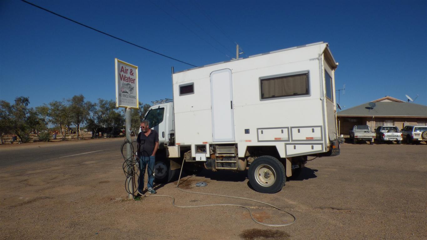
Filled with diesel and water.
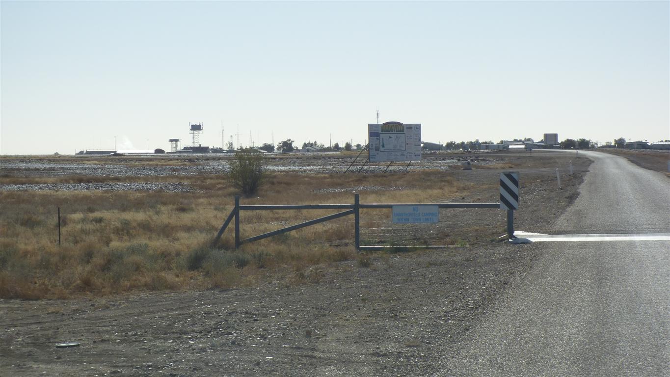
We are too early for the post office.
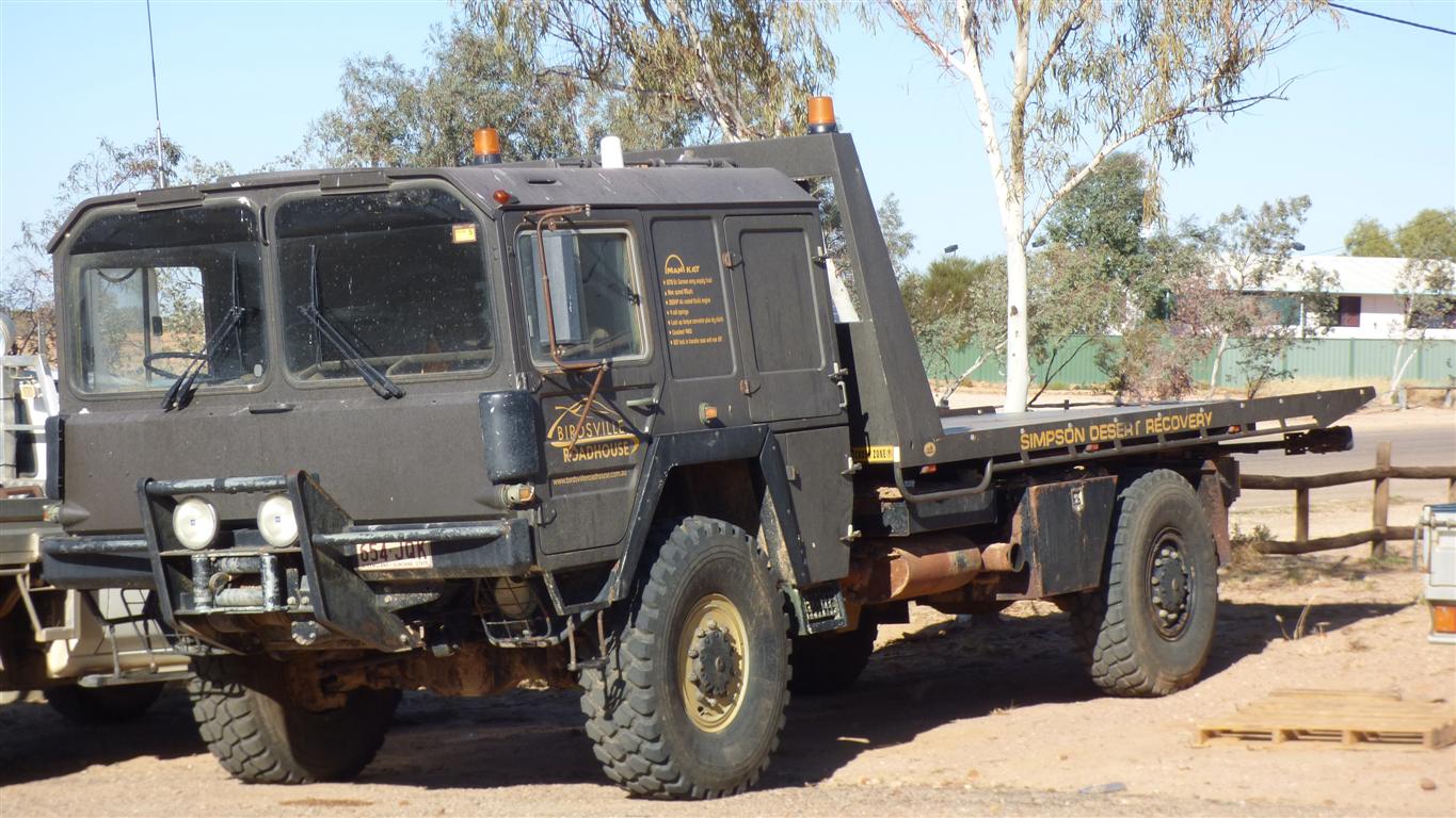
This is the recovery vehicle which could have carried the Oka.
Just as well we didn't need it. Barnsey is at the Finke Race. Back on the 16th.
Presumably from somewhere a long way east - it has a Queensland rego.
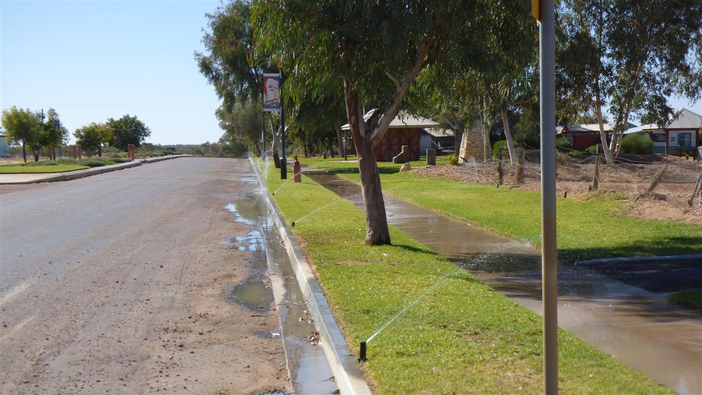
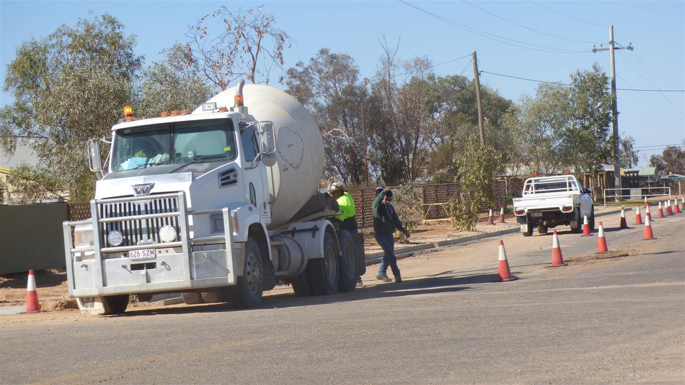
The crew are putting kerbs along the roads.
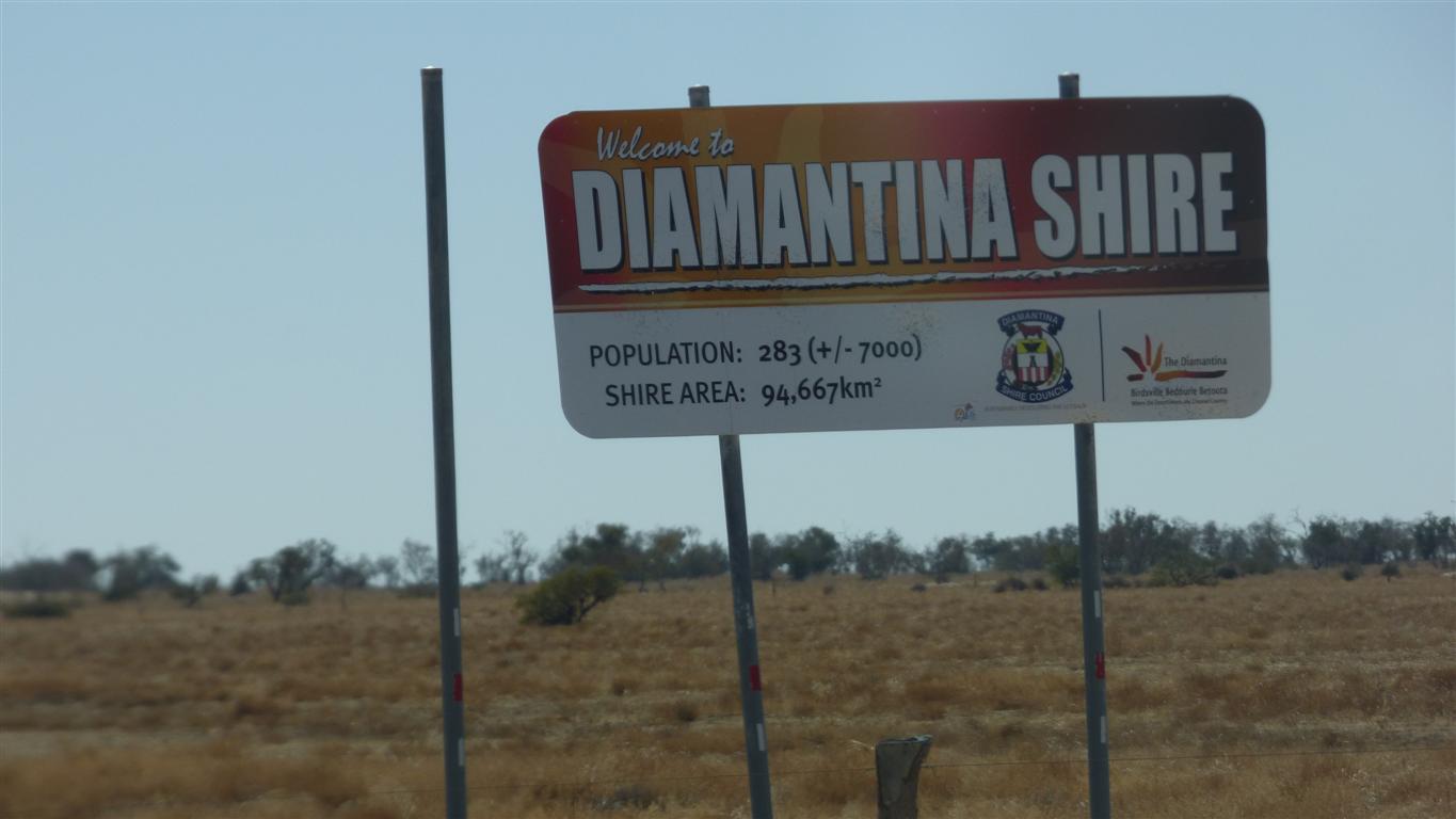
Birdsville has a very different "feel" to Marree or Oodnadatta.
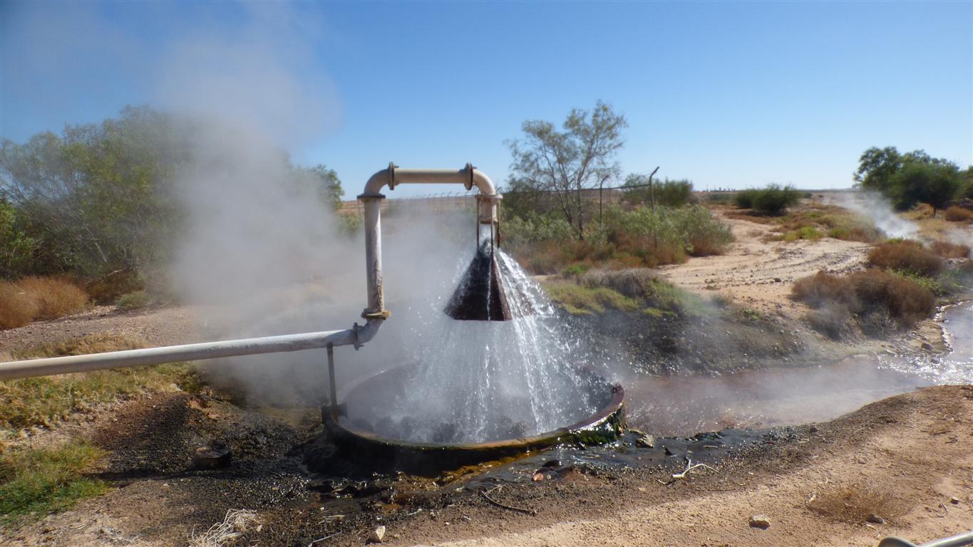
Overflows to the cooling ponds.
Then pumped up the water tower.
There's also water from the Diamantina River for gardens.
Peter's note was sufficient id.
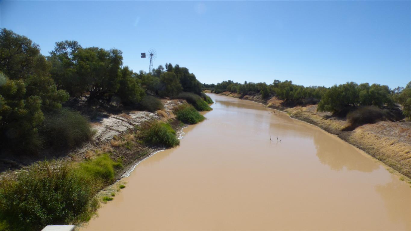
We crossed the Diamantina on the way to the Birdsville Track (which runs to Marree).
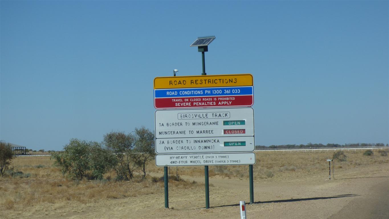
Fortunately the Birdsville Track is open to our turnoff.
Closed further south.
We are not sure why but proceed anyway.
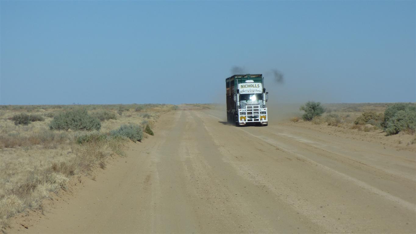
A difficult track.
These days its more like a three lane highway.
We are traveling around 80-90 km/hr.
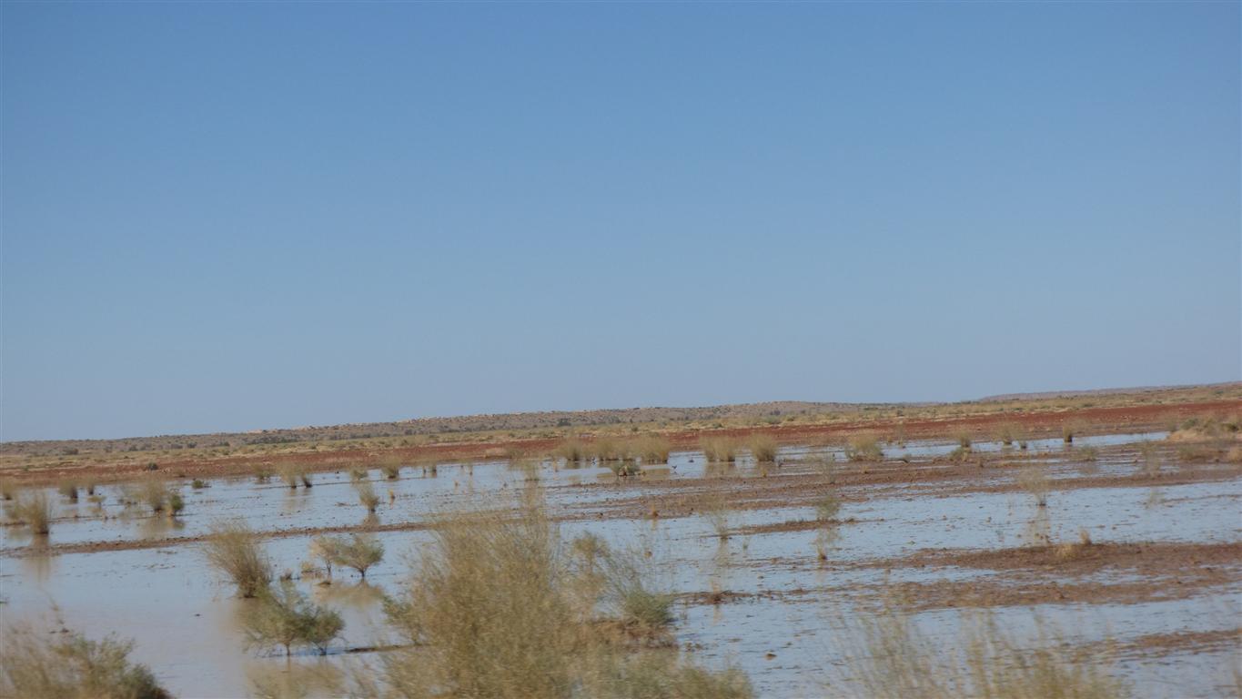
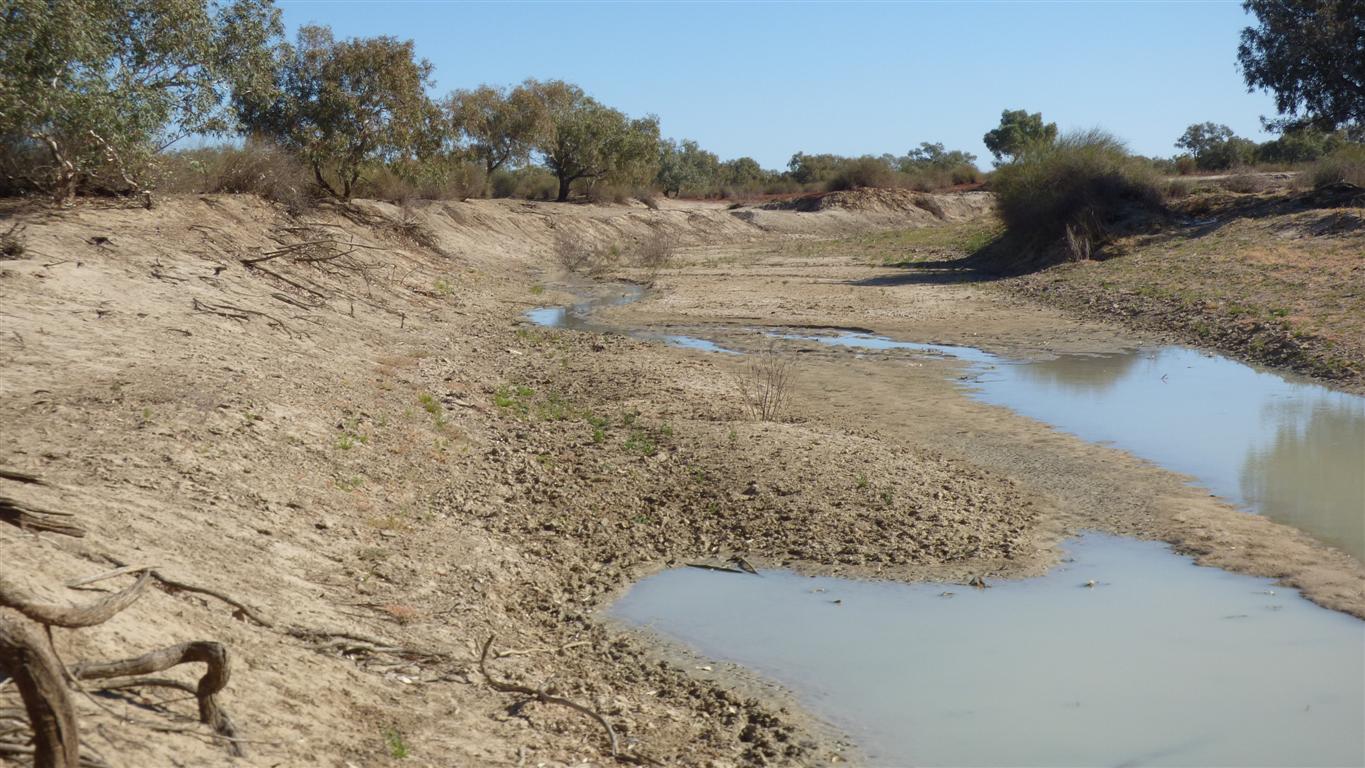
Some surface water still around.
This of course caused us to wonder about the state of the Warburton Creek which we needed to cross.
About 100km further south.
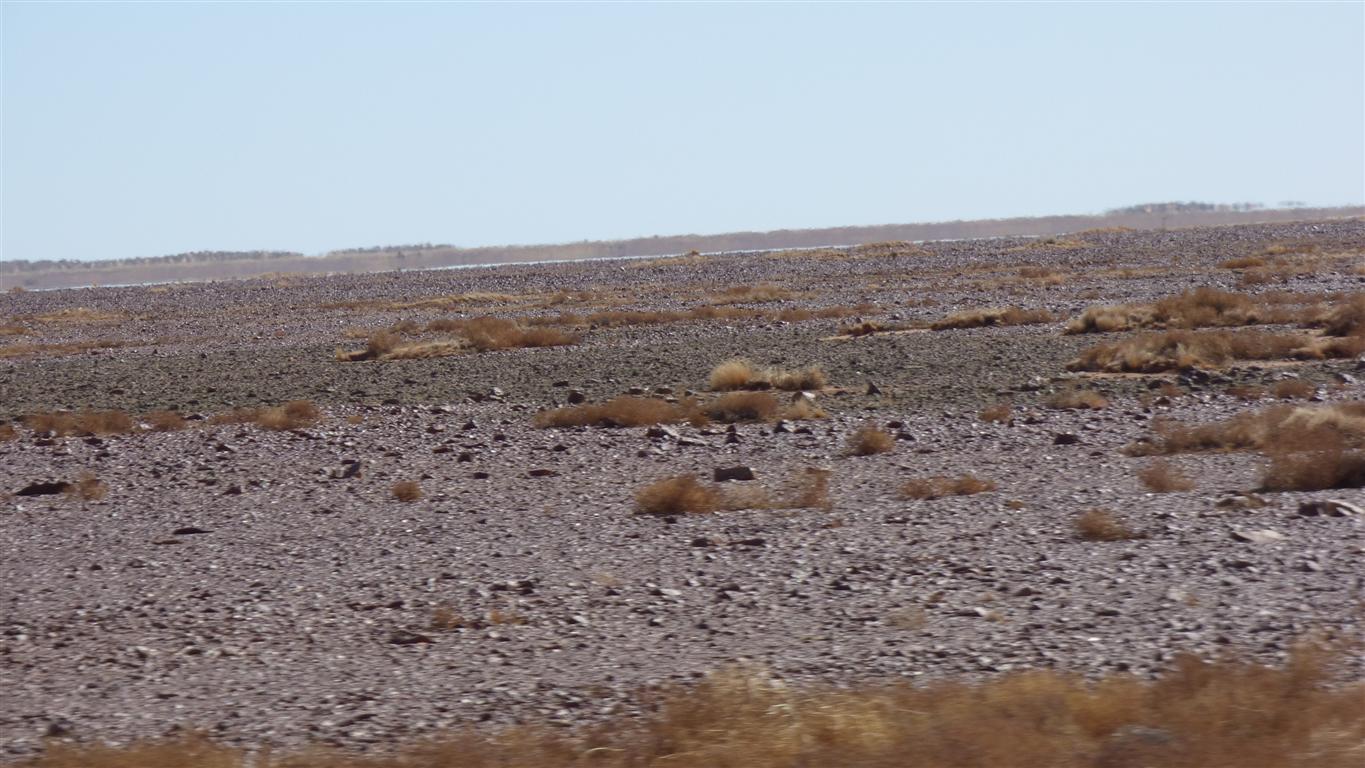
Gibber plain.
The Birdsville Track is an old stock route to the rail head at Marree.
The Yelpawaralina Track.
Across the Warburton, to join the Warburton Track to the Birdsville Track.
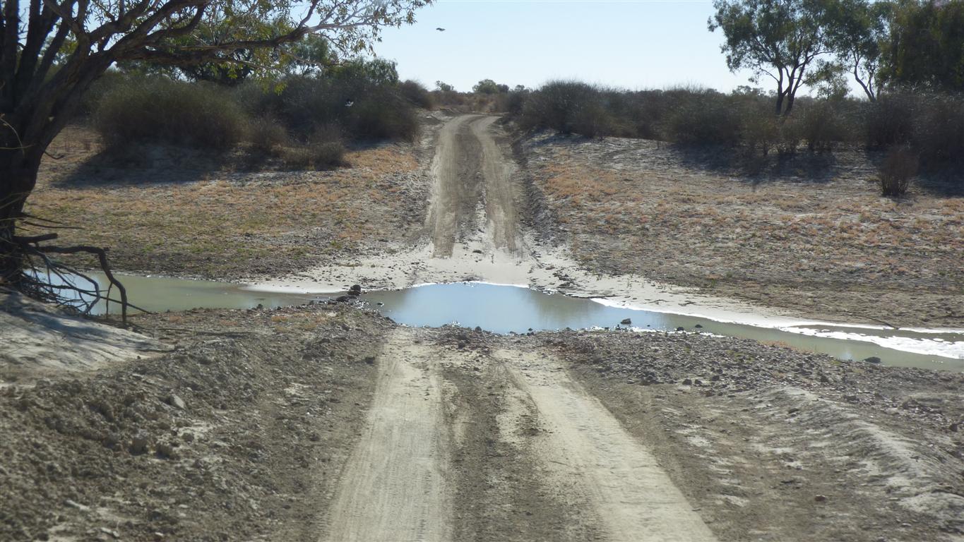
The Warburton is just a puddle.
The ford has stones in it.
Its easier to get bogged in the entry or exit as the clay gets slippery.
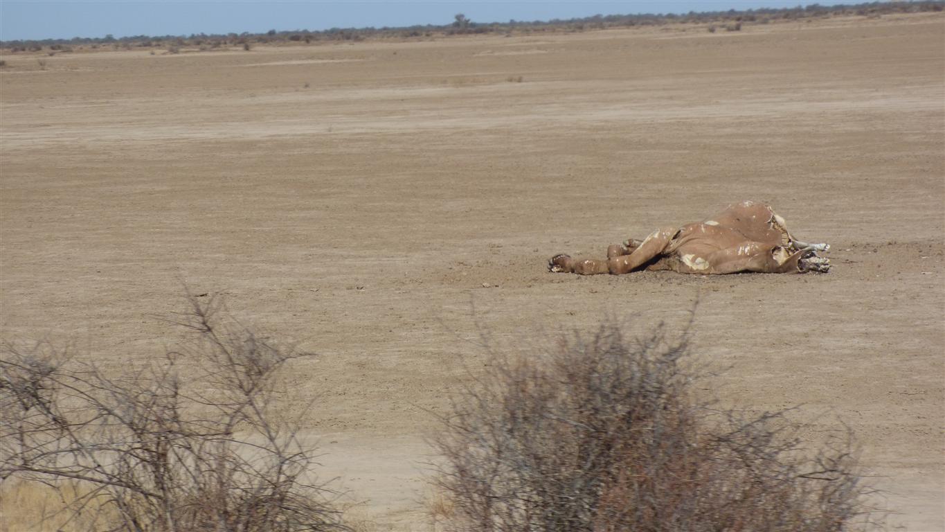
Possibly shot?
The track is about 8km from where the map thinks it is.
Do we turn right, or through the gate.
We chose through the gate.
Correctly.
We've enough images of dingoes to fill a photo album so no more here.
Nearly at the beginning of the Warburton Track.
We've noticed that according to the gps our height above sea level is -5m. Which means we are below sea level.
In contrast to further north where we have been between 20 and 30m above sea level.
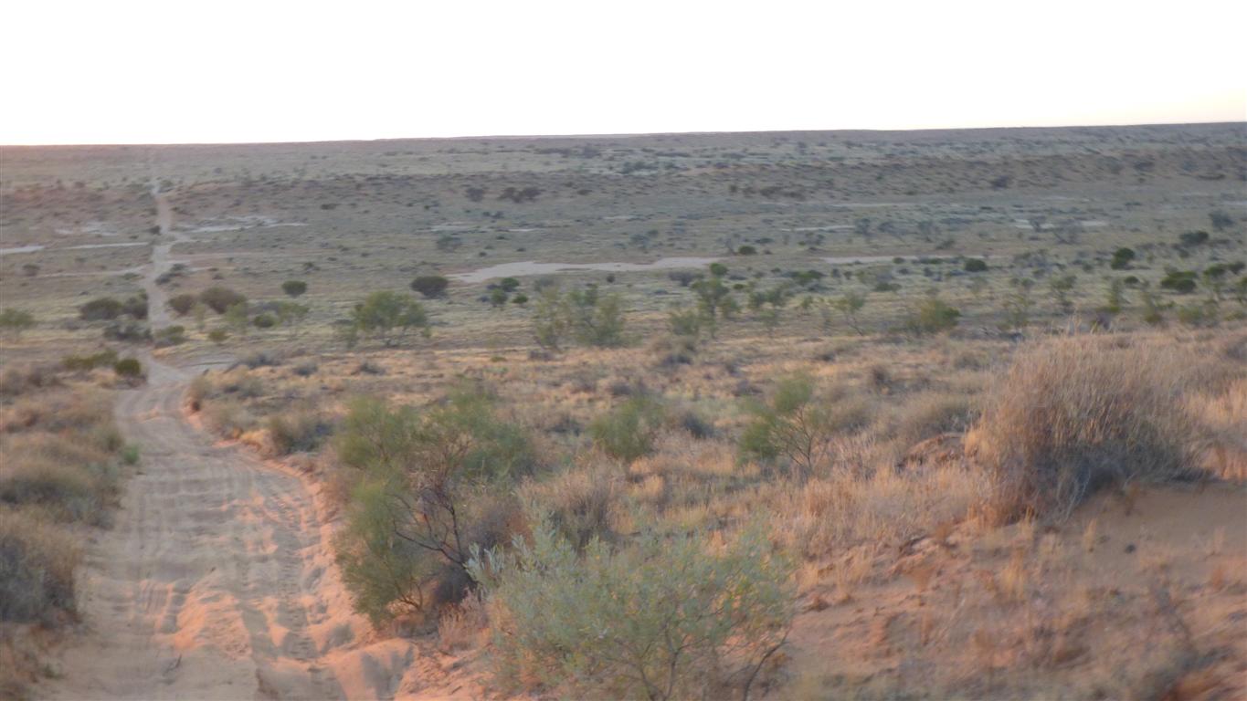
Another early start.
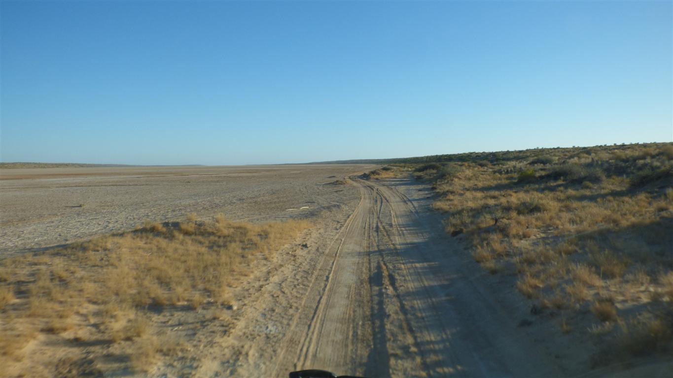
This track runs northwards between the dunes, a lot of it on dry lake bed.
Its the third day.
We expect to be back at Peter's camp by lunch time.
Between two lakes,
Not very high.
It looks like the track may double as a water course.
We've now made a circle.
20km west. Turn left.
We have a pair of 2w GME hand held UHF radios.
The performance is outstanding.
The equivalent Uniden radios seem to struggle at times. Consistent with previous experience.
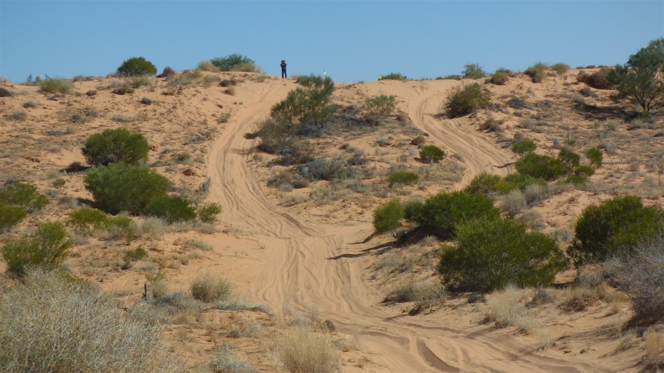
Peter looking east on the morning of the third day.
Filming.
We took the right hand track (see video below).
Must have been feeling perverse.
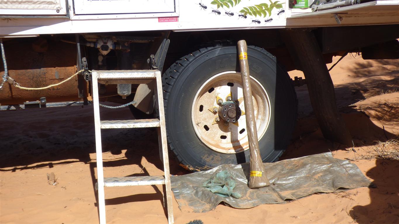
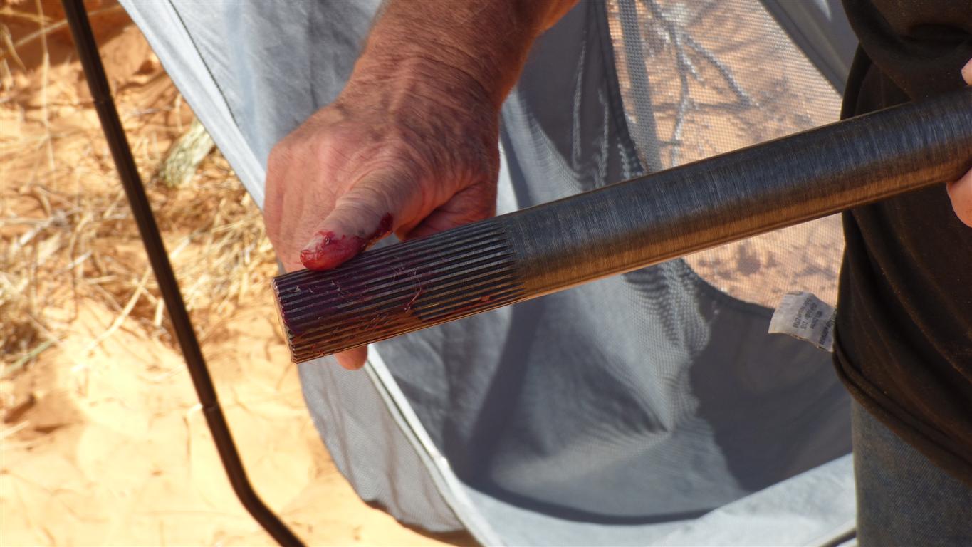
The bolts are removed ready to withdraw the broken part which had to be there to keep the oil in.
The inner broken part had been withdrawn with a pair of kitchen tongues a few days earlier while diagnosing the problem.
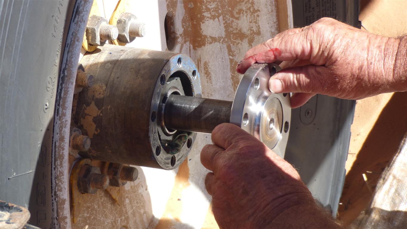
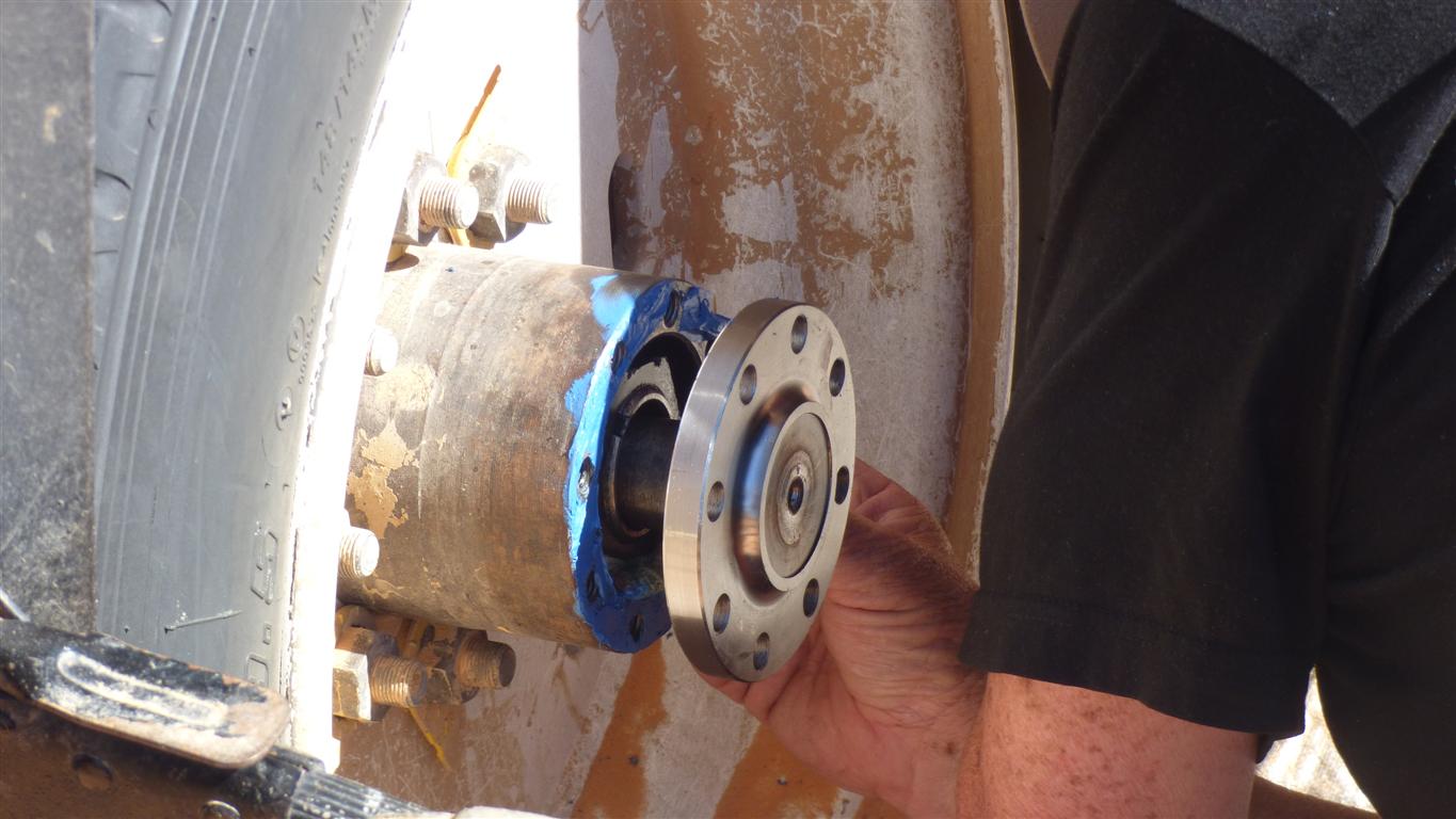
It fits.
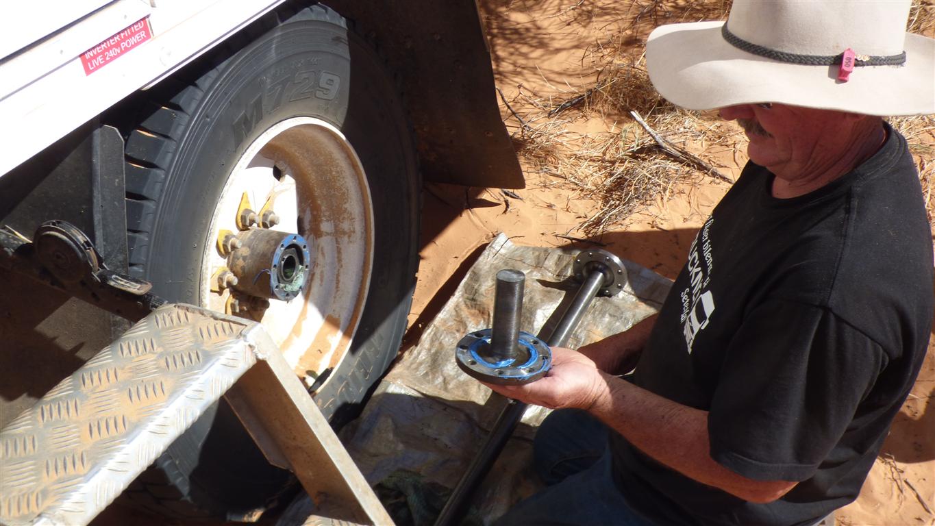
Spines located.
Gasket paste added.
The bolt holes line up as intended when locating the splines.
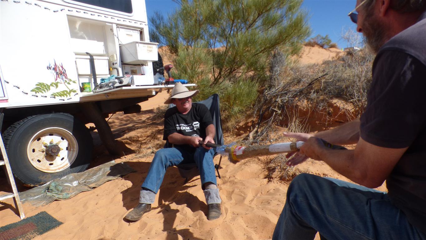
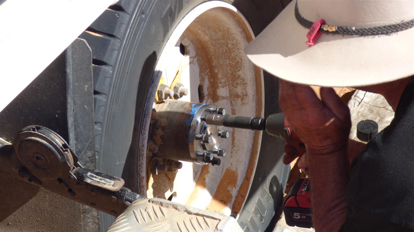
The electric rattle gun (doesn't everyone in the desert carry one?) made easy work of screwing in the bolts.
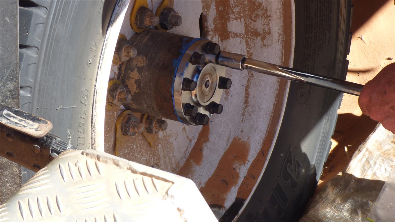
Just a matter of having the right part .....
Two hours since our arrival, including lunch.
We'll head to Poeppel Corner, again, to catch up with the other two Peters.
A bit of sight seeing around Eyre Creek.
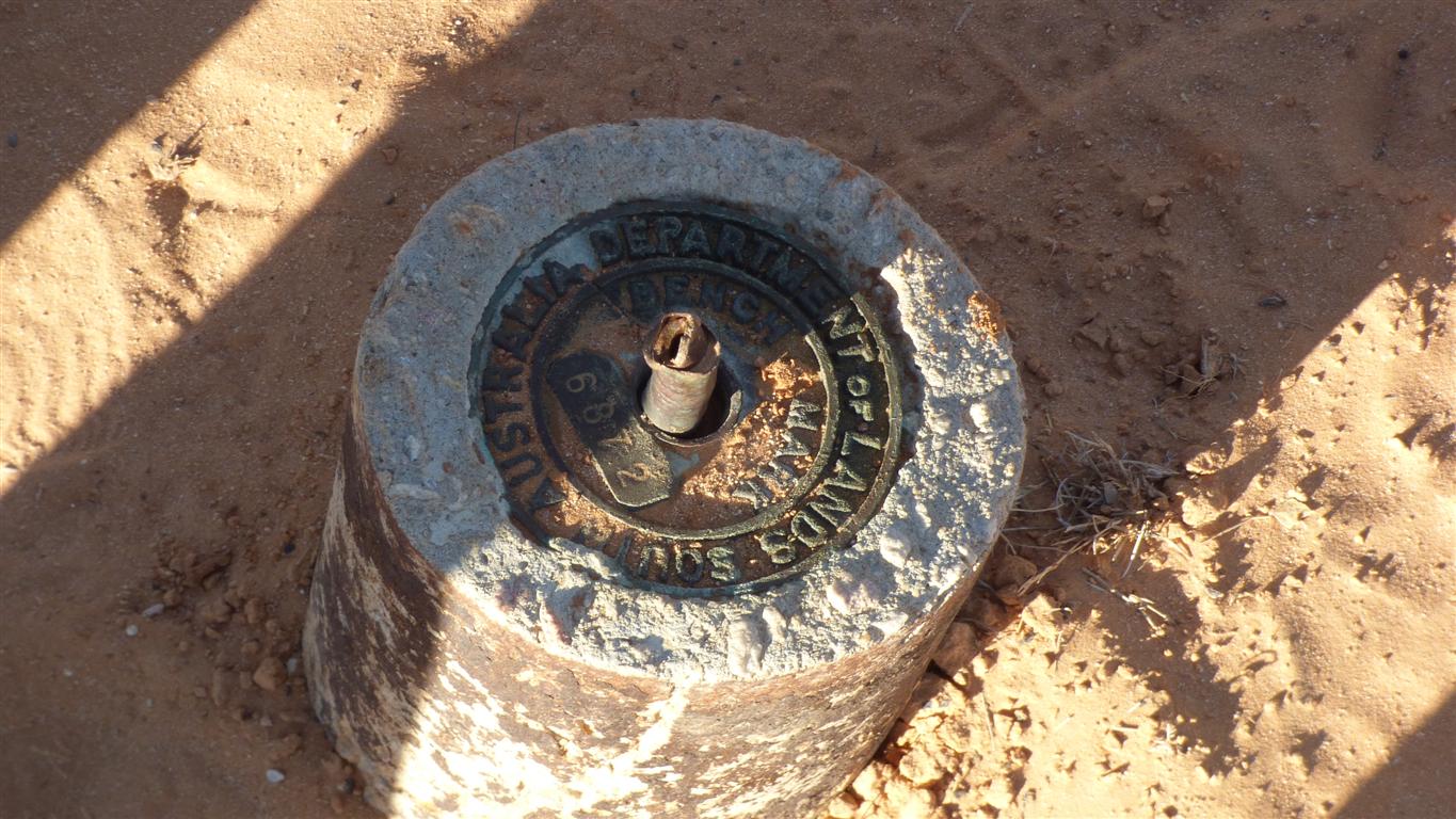
We think this survey point is correctly located.
Time is moving on.