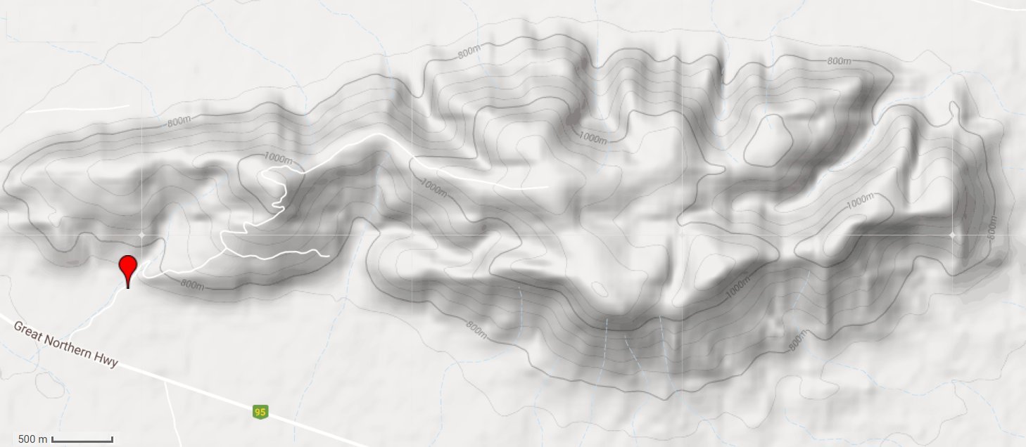
We drove about 25 km to Mt Robinson Rest Area.
There's a 4wd track to the top that we'll walk up.
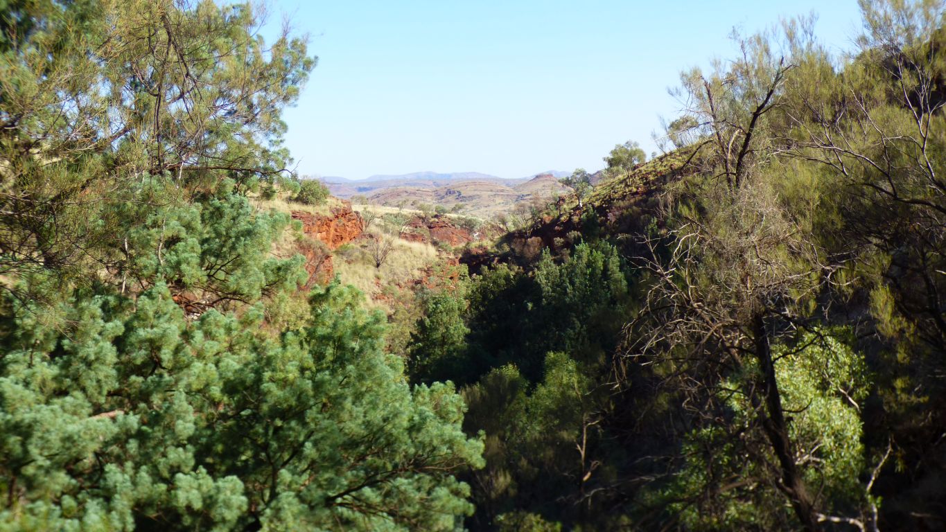
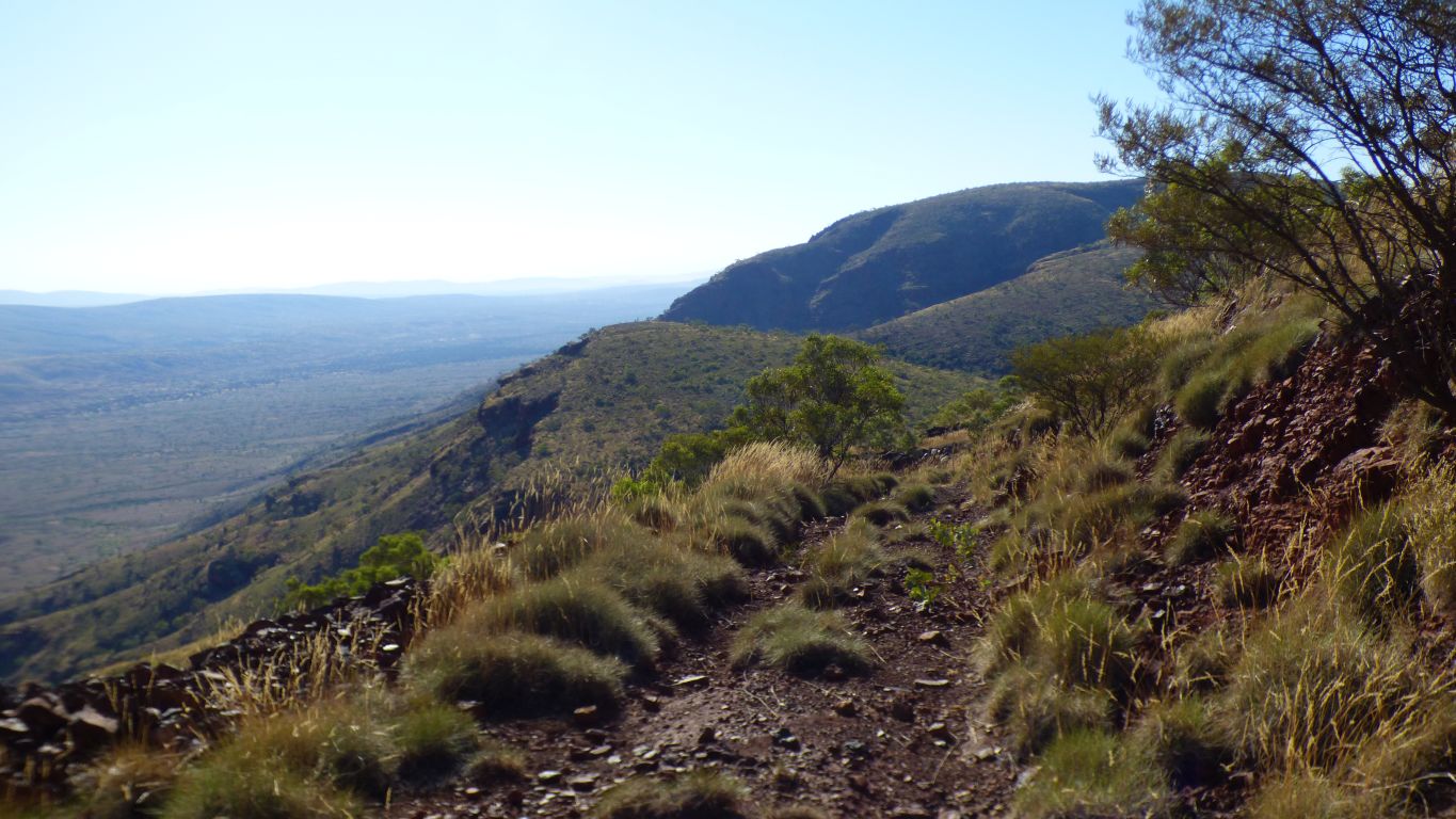
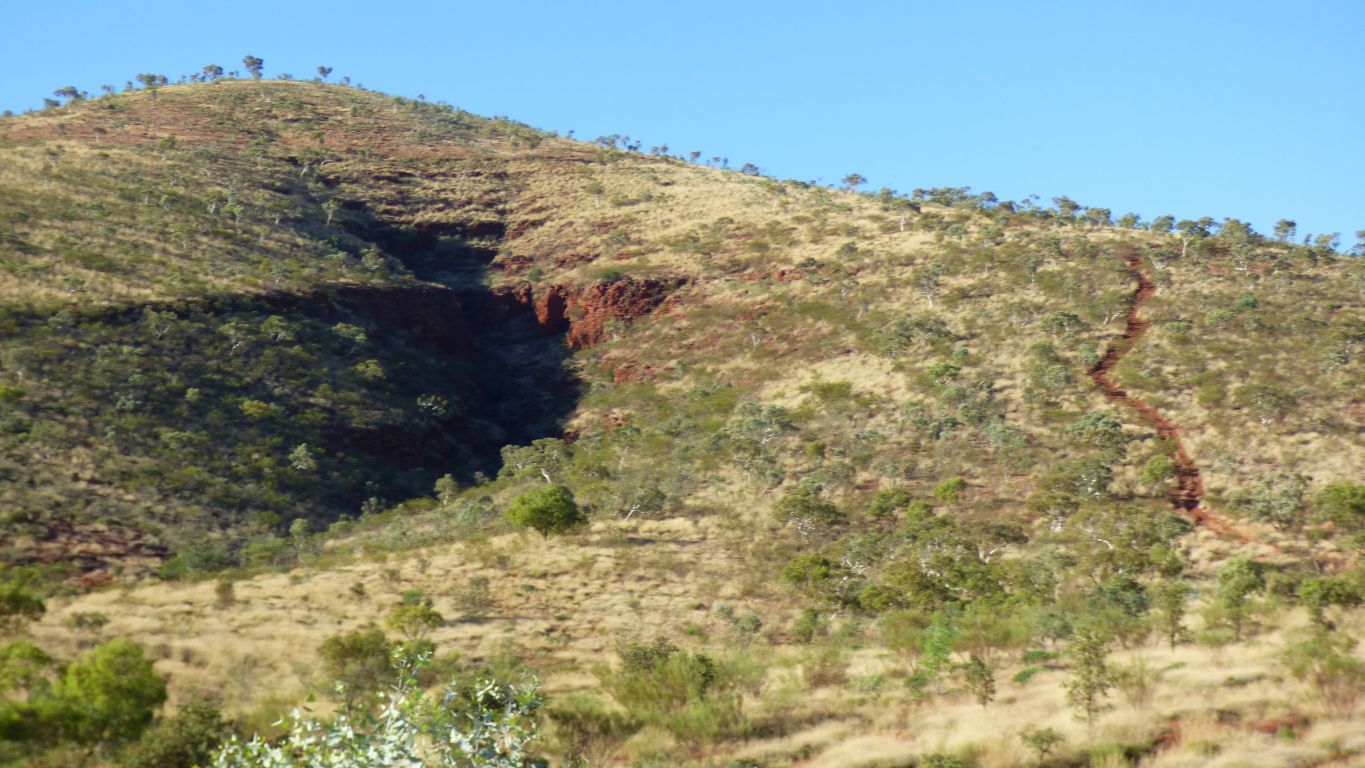
This is looking back from about 800m into the gorge. As far as we walked.
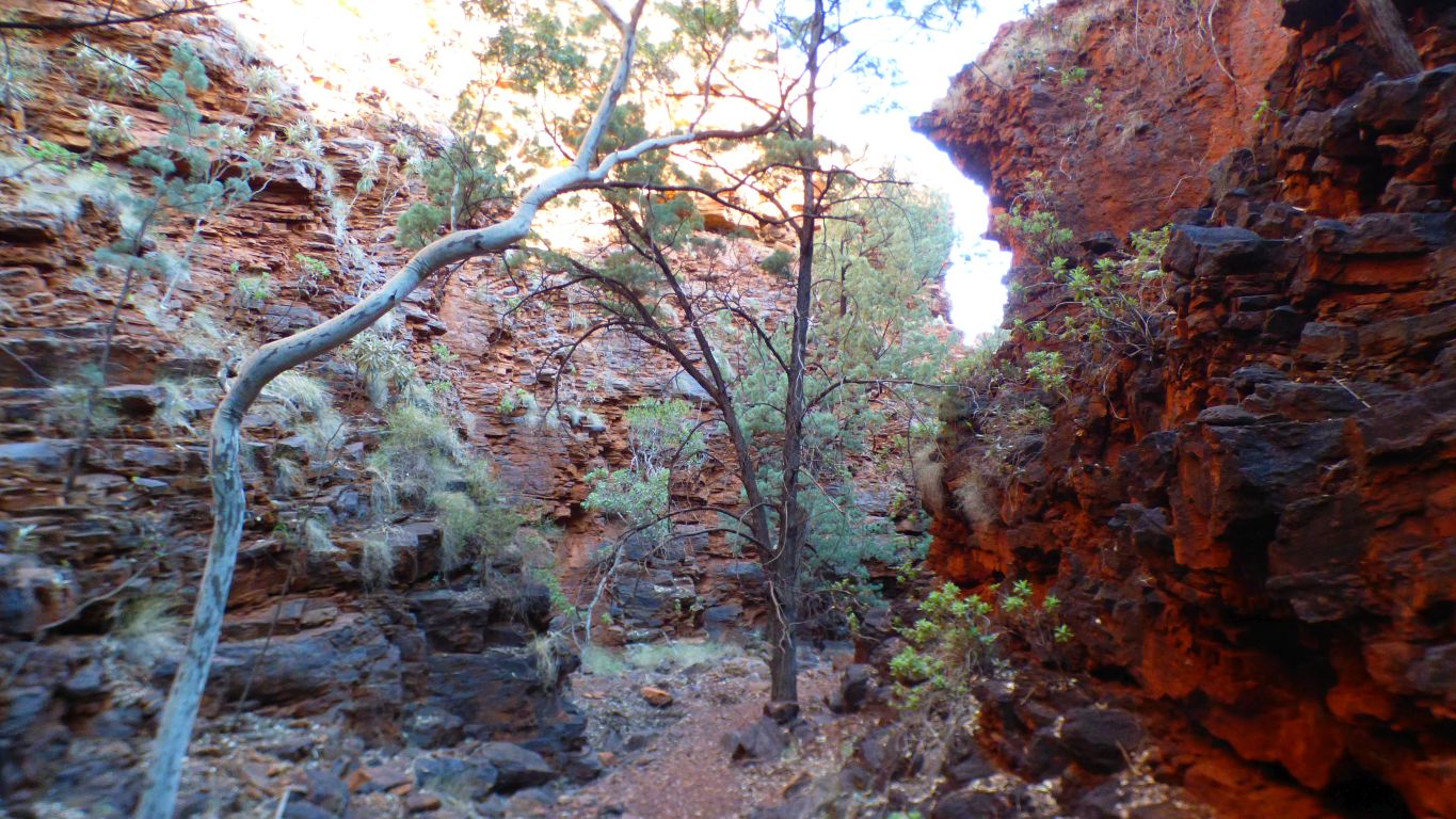
Yup. Cypress Pines. The gorge has a micro climate. We last saw pines like these in the Flinders. Last year. About 2,200 km as the crow flies.
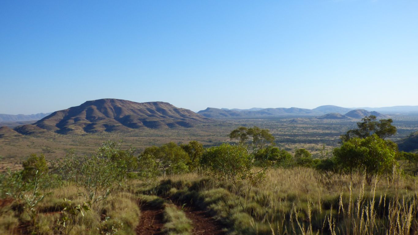
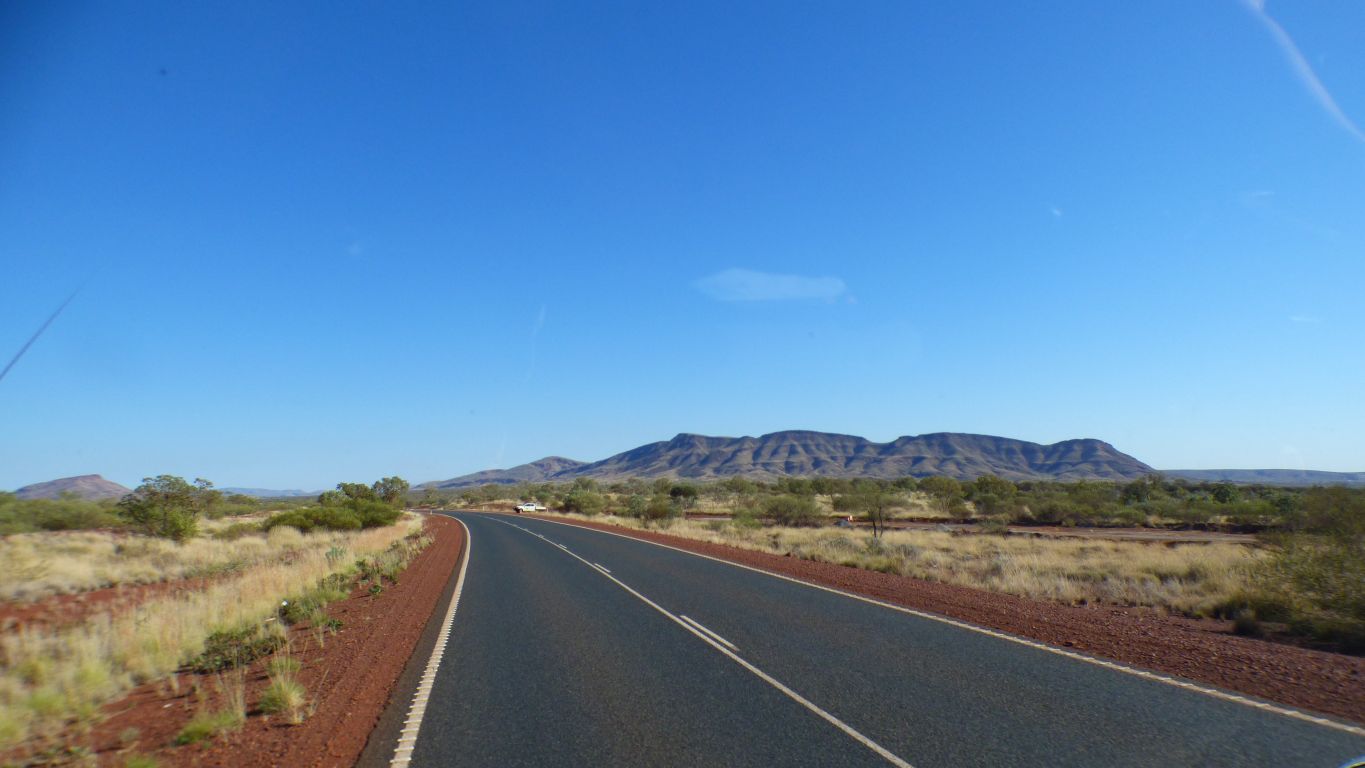
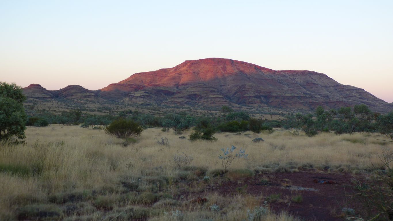
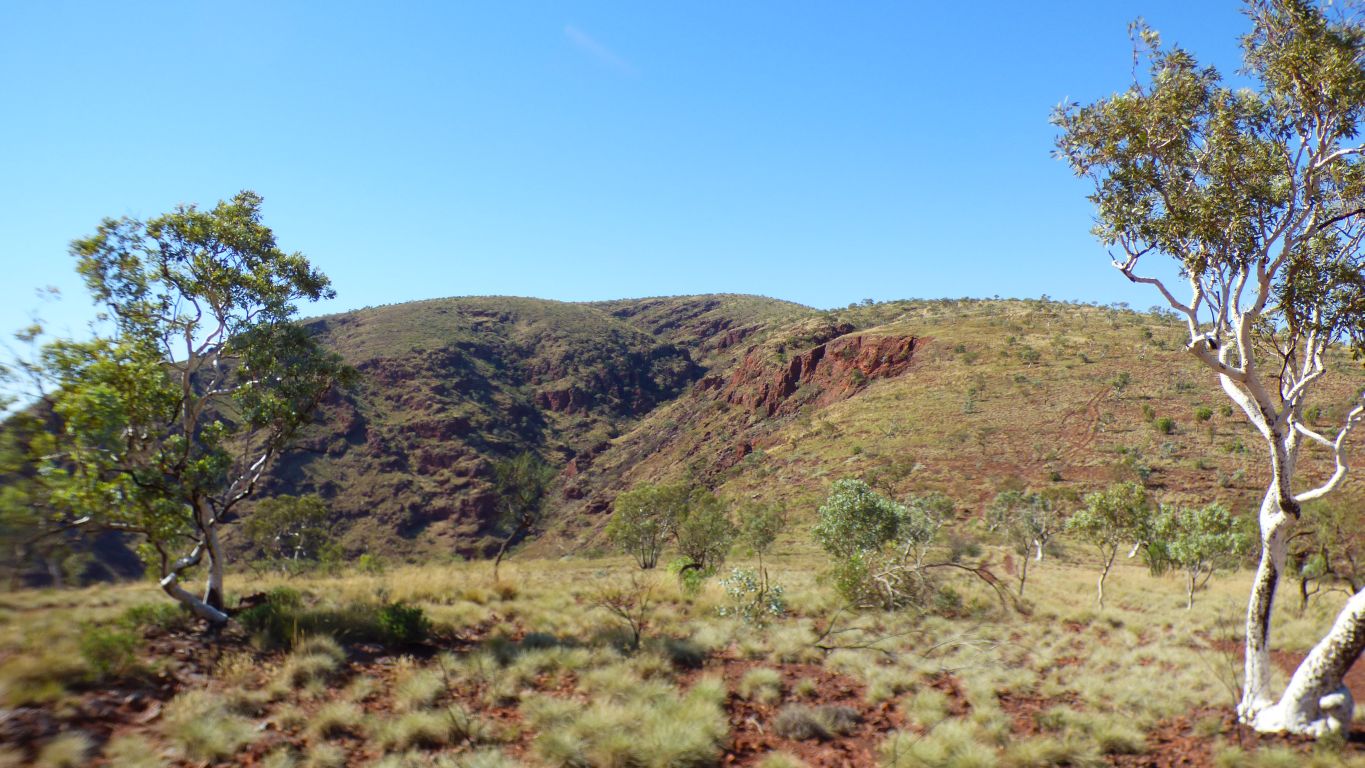
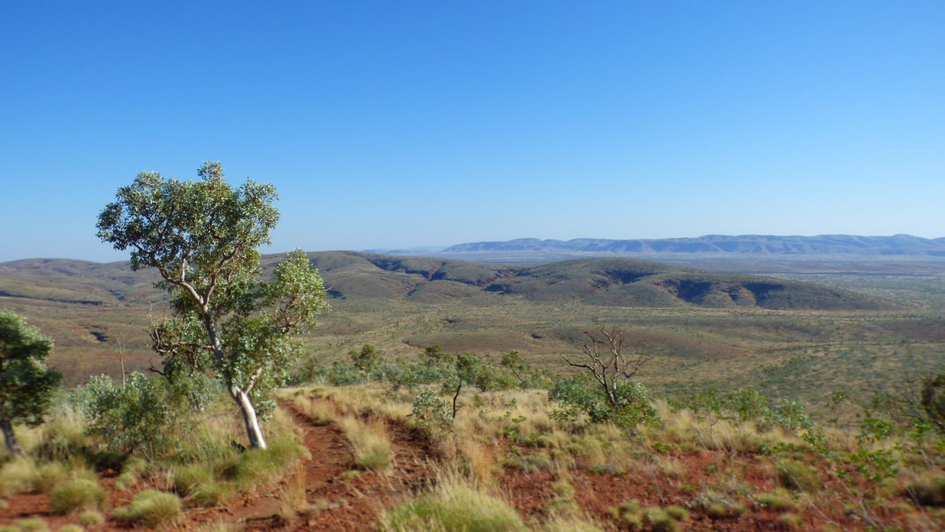
Looking south west at The Governor.
The Governor reminds us of a Scottish Inselberg.
Of course, now we have this useful bit of info we realise the reconnaisance was unnecessary. At least on paper. But reconciling reality with models is always a useful undertaking. And we enjoyed it anyway.
We start at 750m and the summit is 1150m.
No snow line, no tree line, just rock and spinifex.
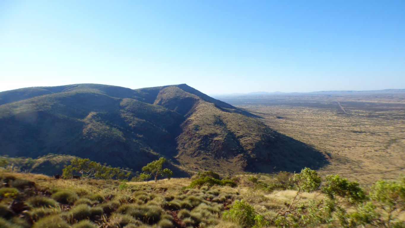
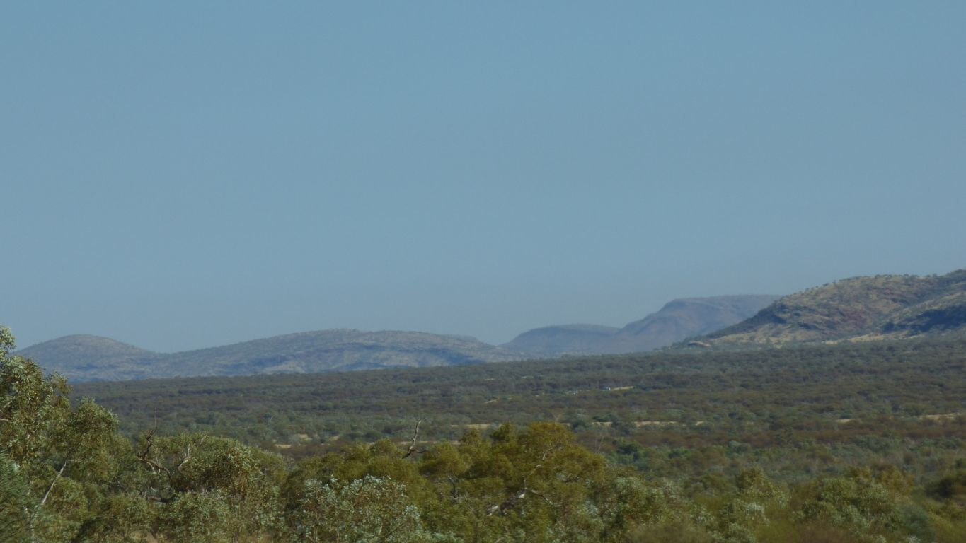
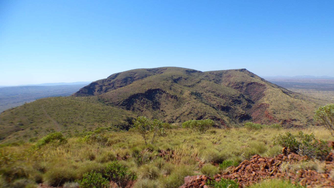
Looking east to the big end.
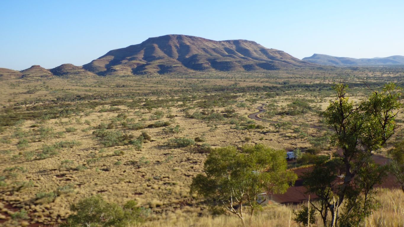
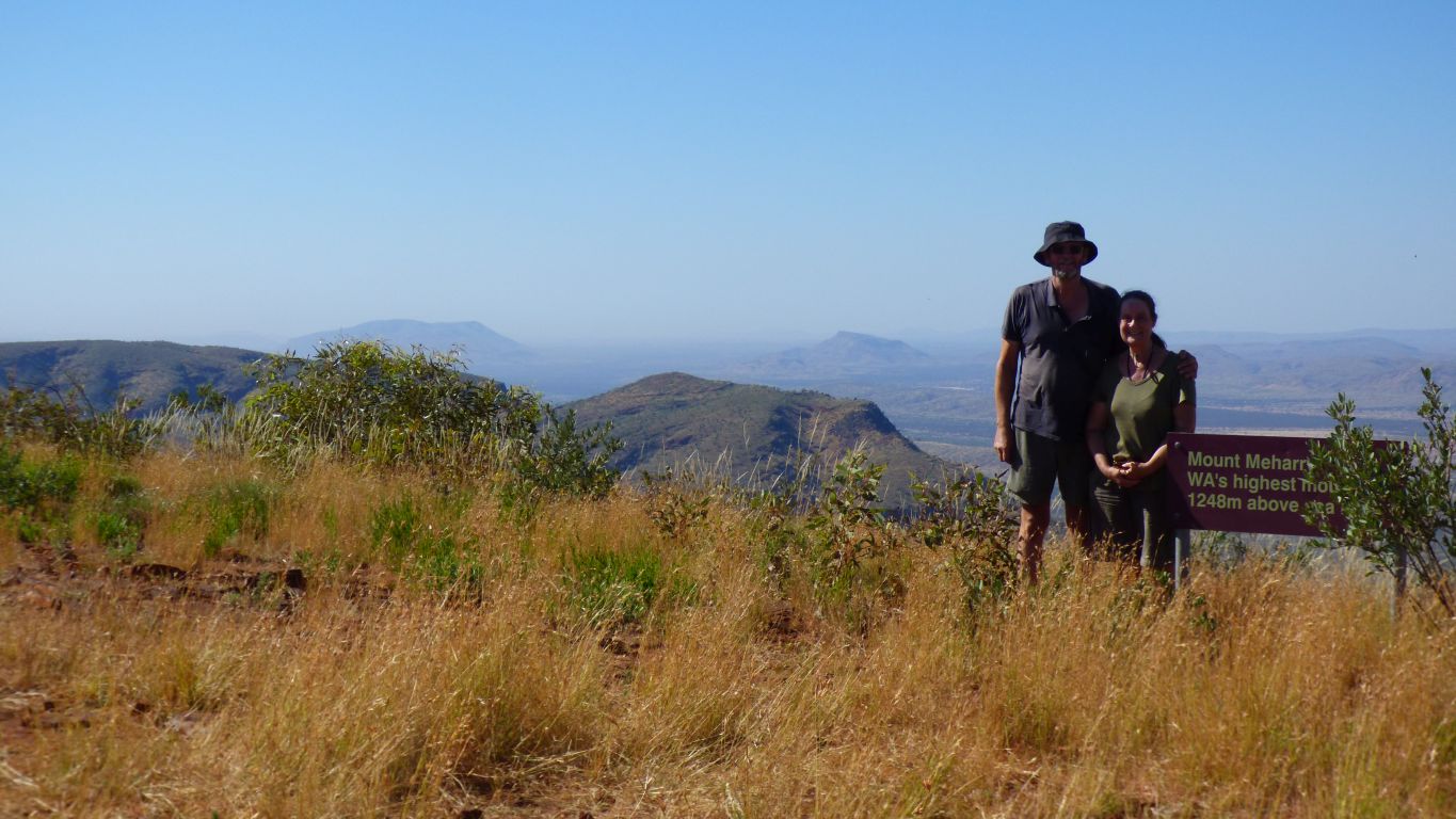
The Governor on the left (1051m). Mt Meharry (1250m) somewhere towards the right on the horizon. The bit in the middle is the little end of Mt Robinson.
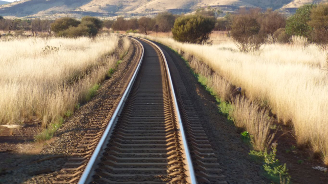
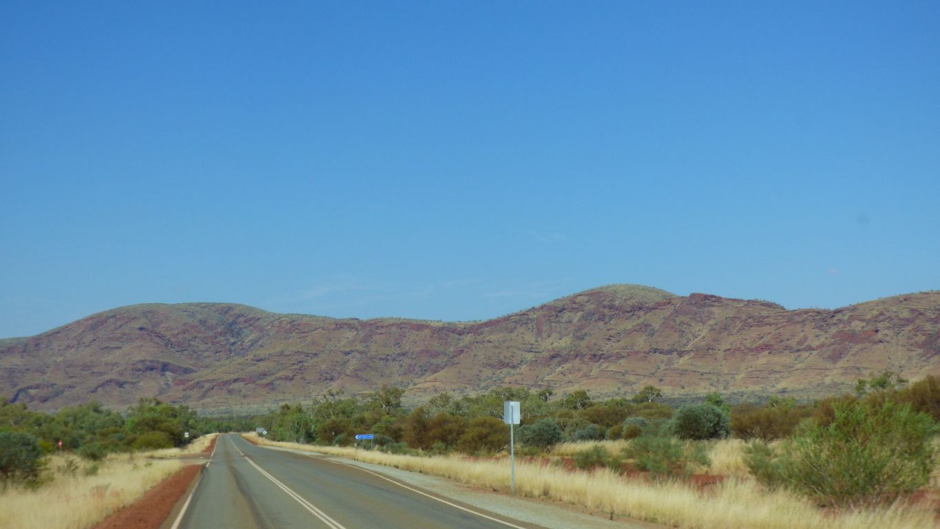
The road is in the wide valley between The Governor and Mt Robinson. Curving around Mt Robinson to head north. The railway line between Hope Downs 1 Mine and West Angelas crosses the road and is the far side of The Governor.
Hope Downs 1 mine is close to Weeli Wolli Creek and discharges water, from mining below the water table, into the creek below the springs.
Its a hairpin bend for us. Somewhere in the pic is the right hand track. But we failed to find it.
Score Reality 1 - Map 0.
Back at the truck after about 5 hours we will spend the afternoon dossing. We expect hips and knees to cause a bit of discomfort tonight.
Temperature is about 29.5 deg C, which is comfortable out of the sun and reasonable for walking in this area.
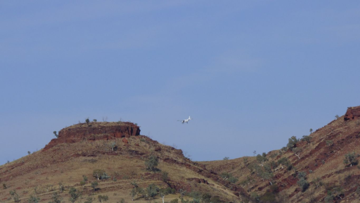
Including the small (twin engined) plane flitting between mine sites.
But yes, cross the rail line.
Just a bit slower really, across a couple of dry creek beds.
A turn around and park under a convenient snappy gum for those who wish not to drive further.
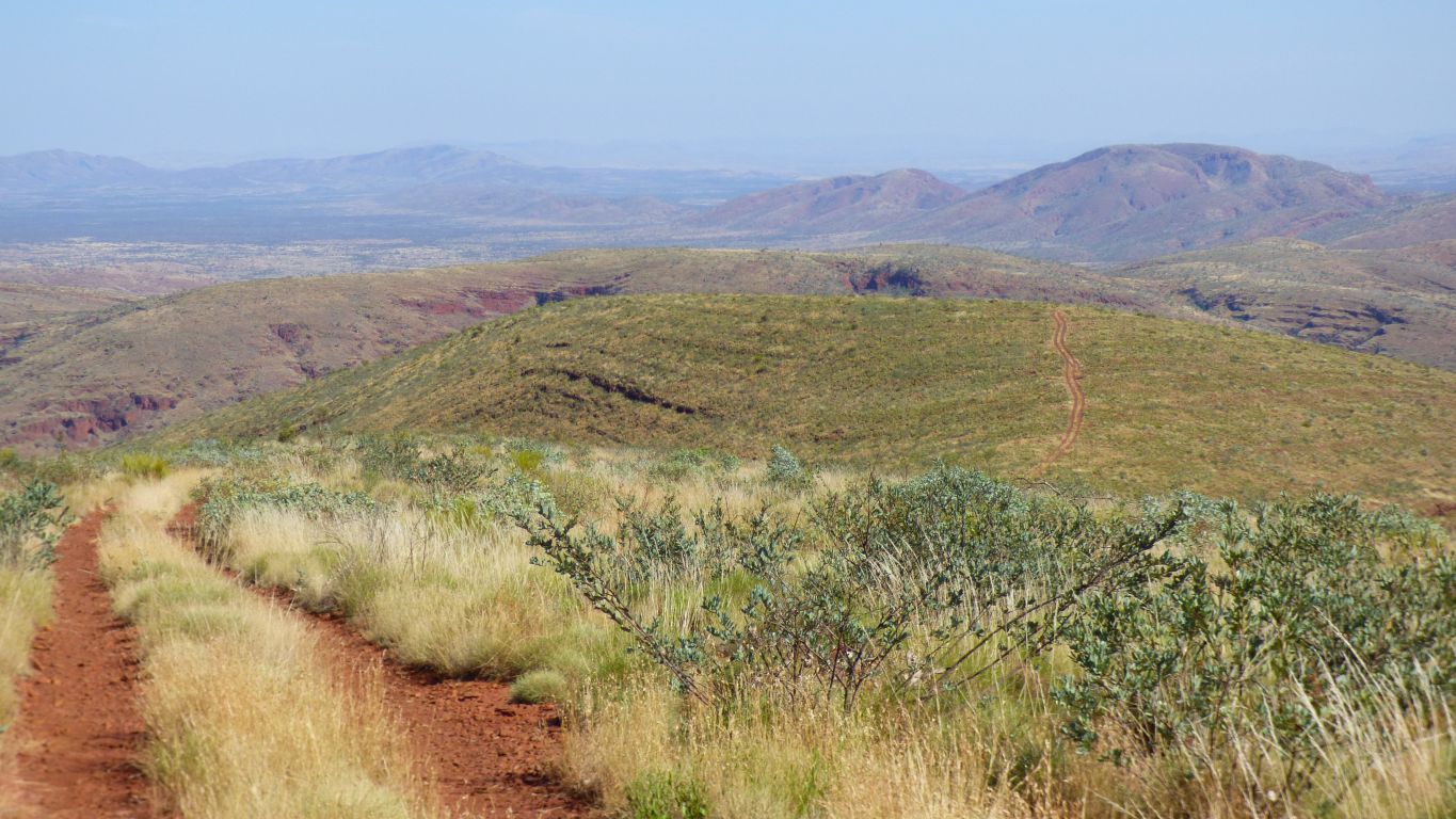
At the top we could see the track up the end of Mt Meharry.
It looked steep.
Our dilemma is not so much whether its steep, its that we are only one vehicle. Which could get awfully messy if something goes wrong.
And we like walking. We see more.
Looking back.
For anyone driving, we are past the steep bit. Its easy from here.
There's a nice description of the mountain, how to tackle it, and the flora, here. http://mntviews.blogspot.com.au/2012/08/meharry-wa-australia.html
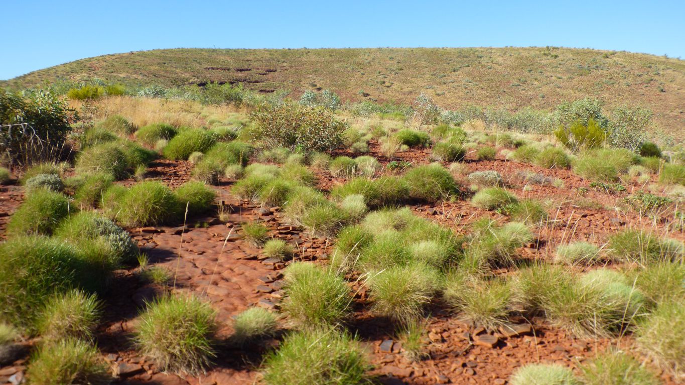
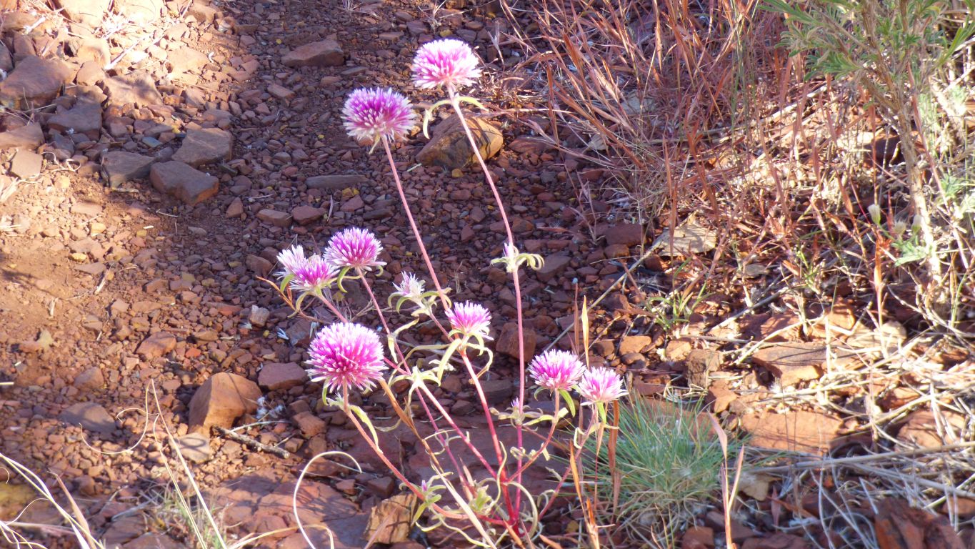
We've become aware that some spinifex just grows as clumps, and other grows outwards as a circle leaving the middle dead. This is the former.
We think.
The rock is eroded in a series of convex shapes.
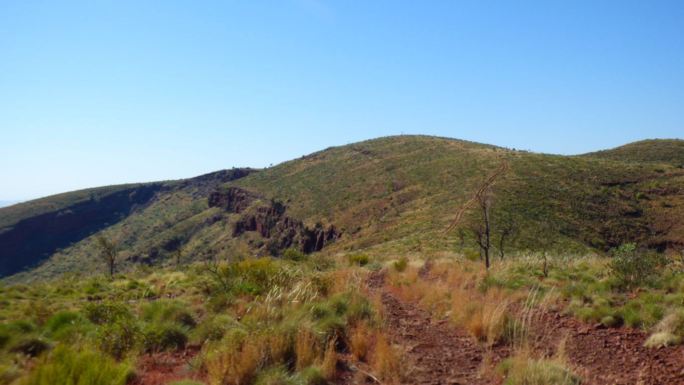
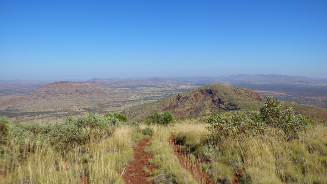
An easy walk, the post on top of the cairn on top of the mountain is on that rounded bit in the middle of the photo. The track runs straight to it.
In the background are Mt Robinson to the left and The Governor in the middle/right.
We are suitably pleased with ourselves.
A hotter day than we had for Mt Robinson, forecast 33 deg C.
But its all downhill from here.
We couldn't identify Meharry from Robinson.
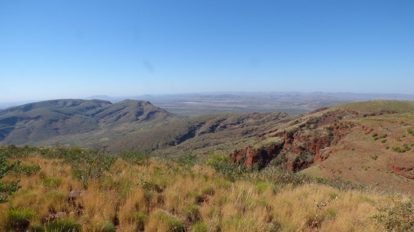
East of Mt Robinson any water we've seen flows to Weeli Wolli Creek which flows through the range and joins the Fortescue River to the north.
West of Mt Robinson, roughly where we are looking, the creeks either disappear in the wide valleys or flow into Turee Creek, a tributary of the Ashburton River which rises about 100km south of Newman and flows north west to near Onslow, south of the Hamersley Range.
About an hour.
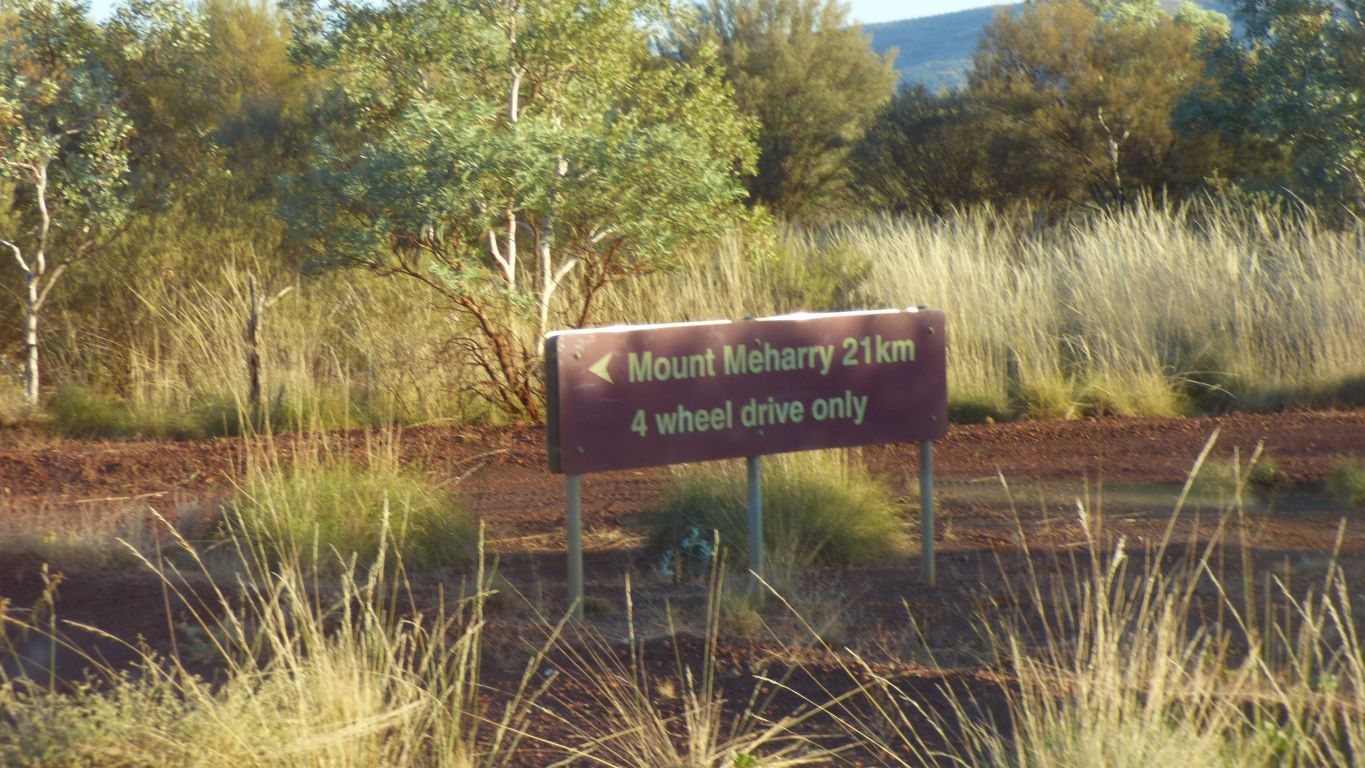
Though really we probably could have camped anywhere within 15km of Meharry.
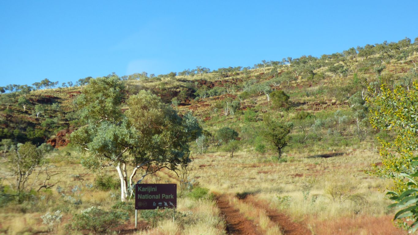
We'll head to The Dales camp in Karijini Nat Park tomorrow.