We waved, but no driver to wave back.
The signs we pass for "Exploration - Geode Valley" sound interesting. But peter out before we get anywhere close.
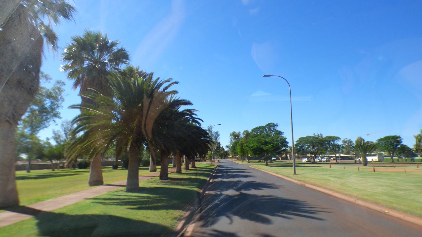
Green lawns and palms. Not really a tourist destination, a mining town.
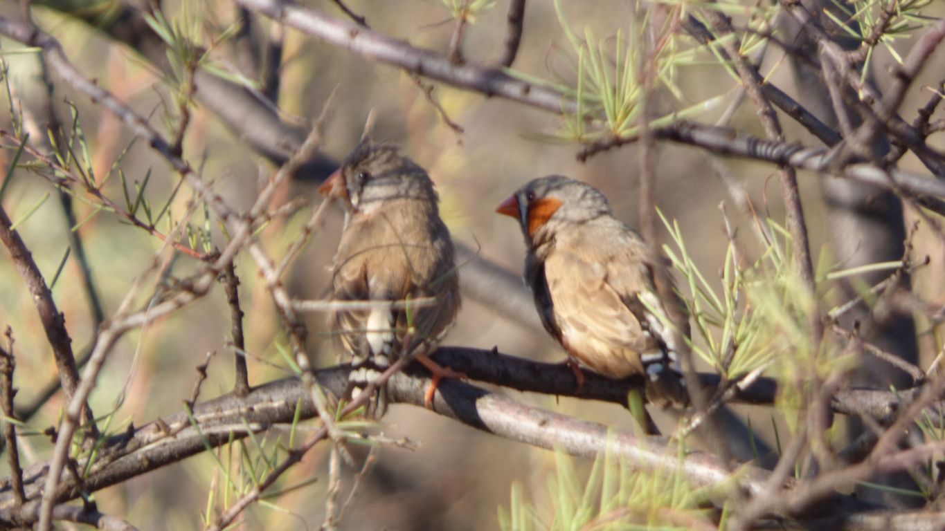
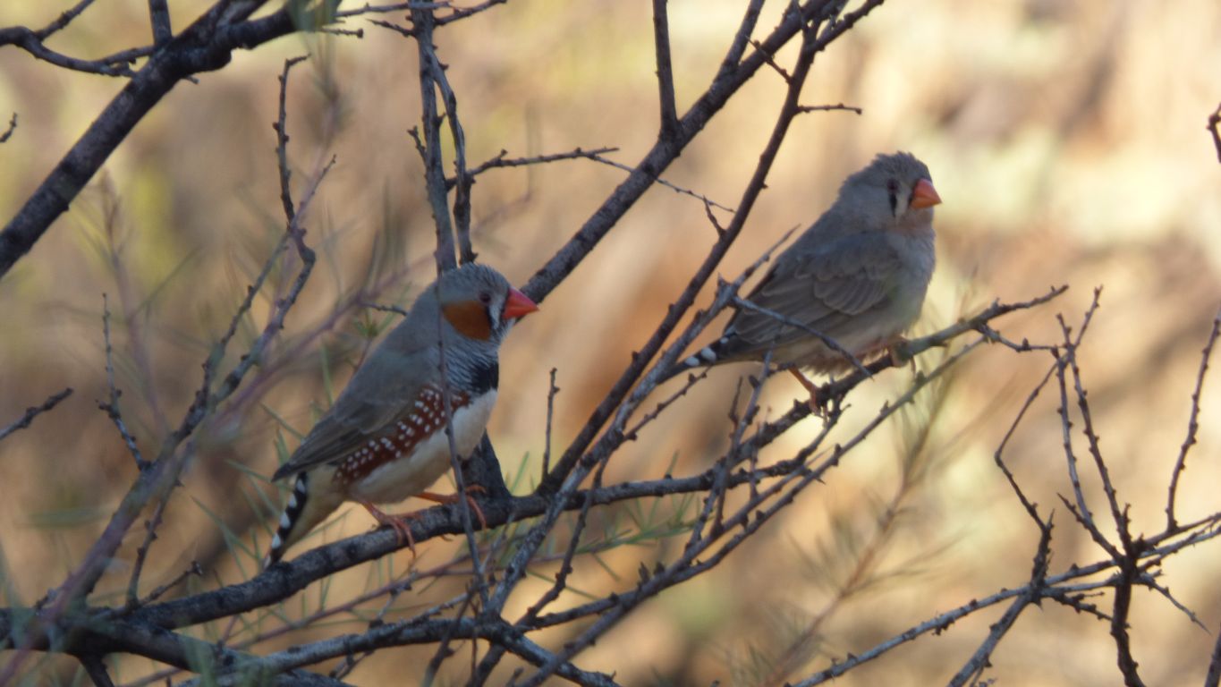
But we did catch a few zebra finches.
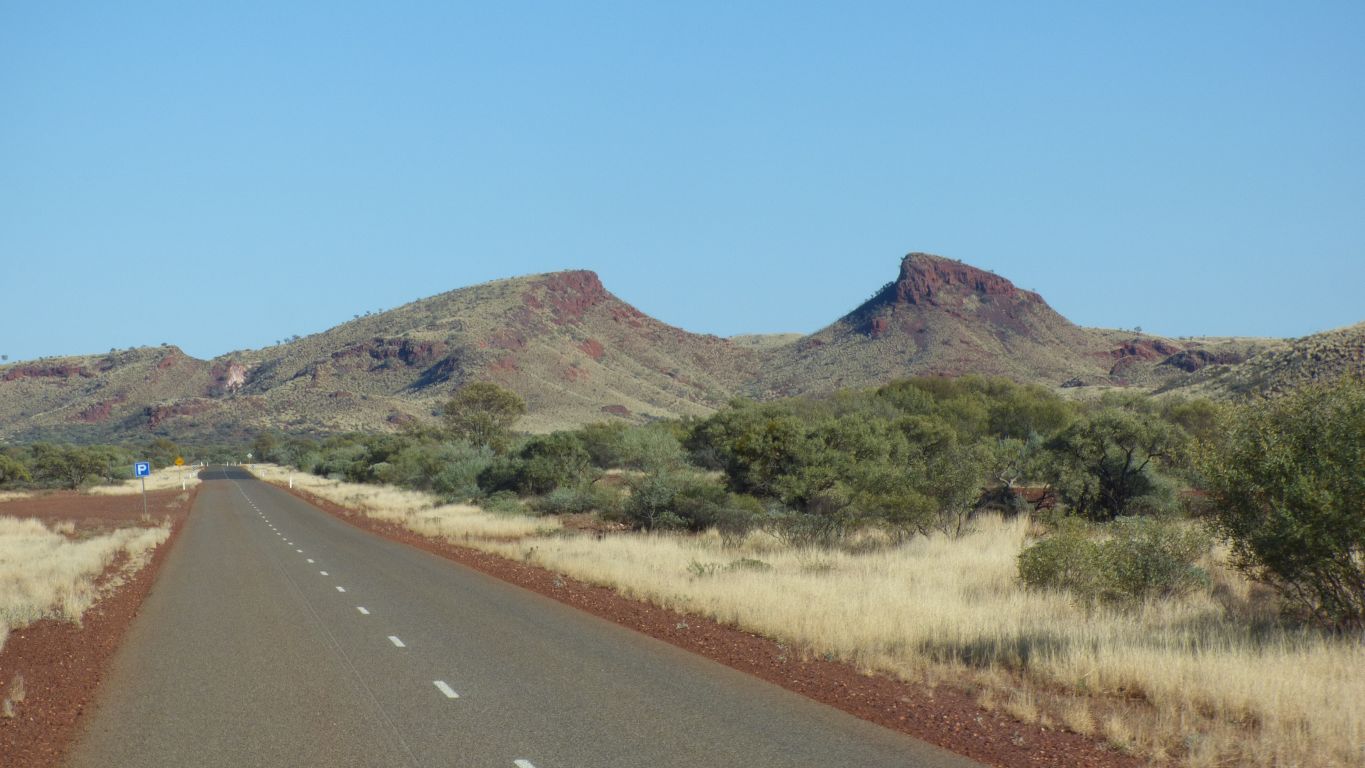
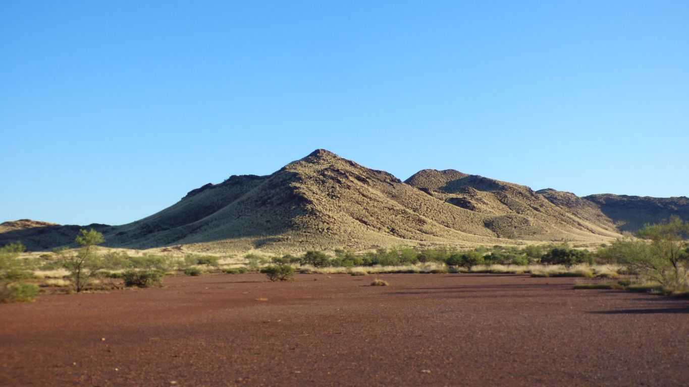
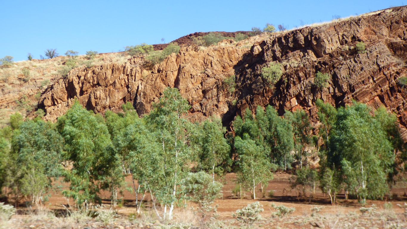
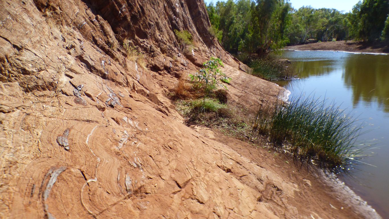
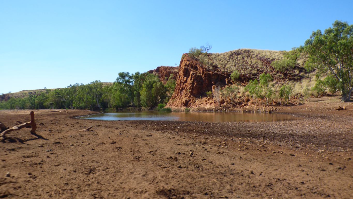
Looks like someone took a bite out of the hill.
It reminds us that is how part of the Flinders was formed, but on a larger scale than here.
The earth is pushed up, the top is eroded, then the soft middle is eroded. Just needs a spare few million years of geological time.
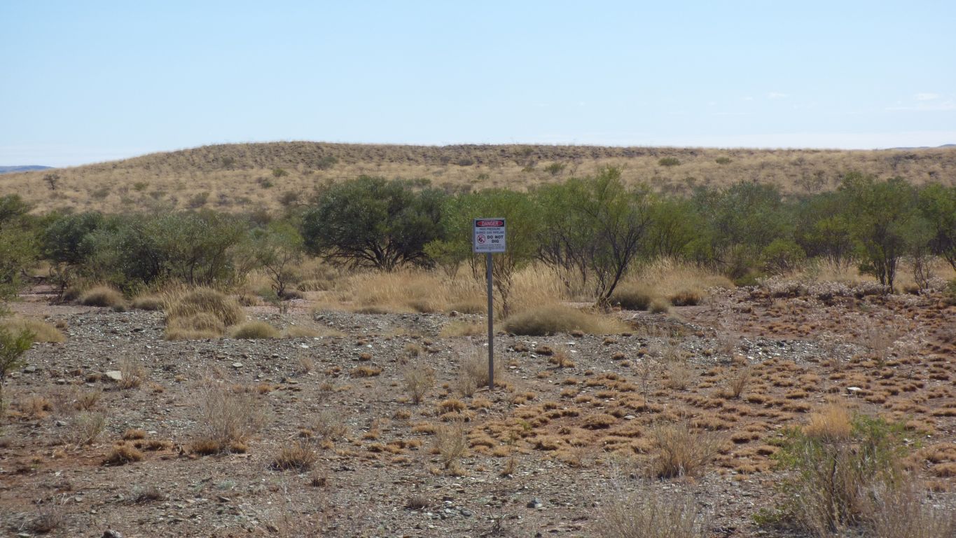
All that shows by the roadside as it crosses is the small sign that says "do not dig - buried high pressure gas pipeline". Not a mention that its The Yarraloola - Kalgoorlie Gas Pipeline.
When I look at the coast where the pipeline starts on the map there is nothing, not even a road. Perhaps the pipeline begins offshore.
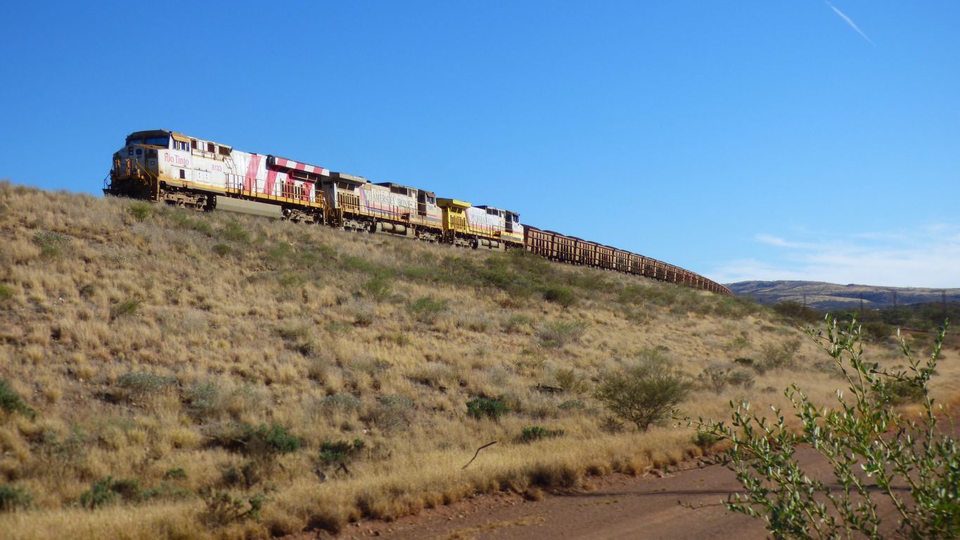
I wonder how much iron ore was required to make the steel to make the pipeline .... , that swallowed the spider ....
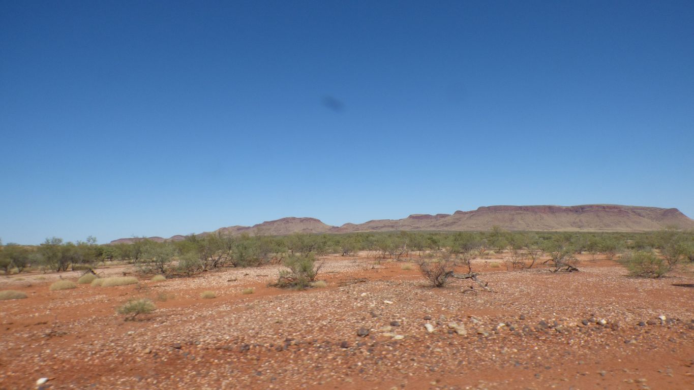
We are a lot lower (about 200m) than we were in Karijini (about 650m).
Its very much warmer.
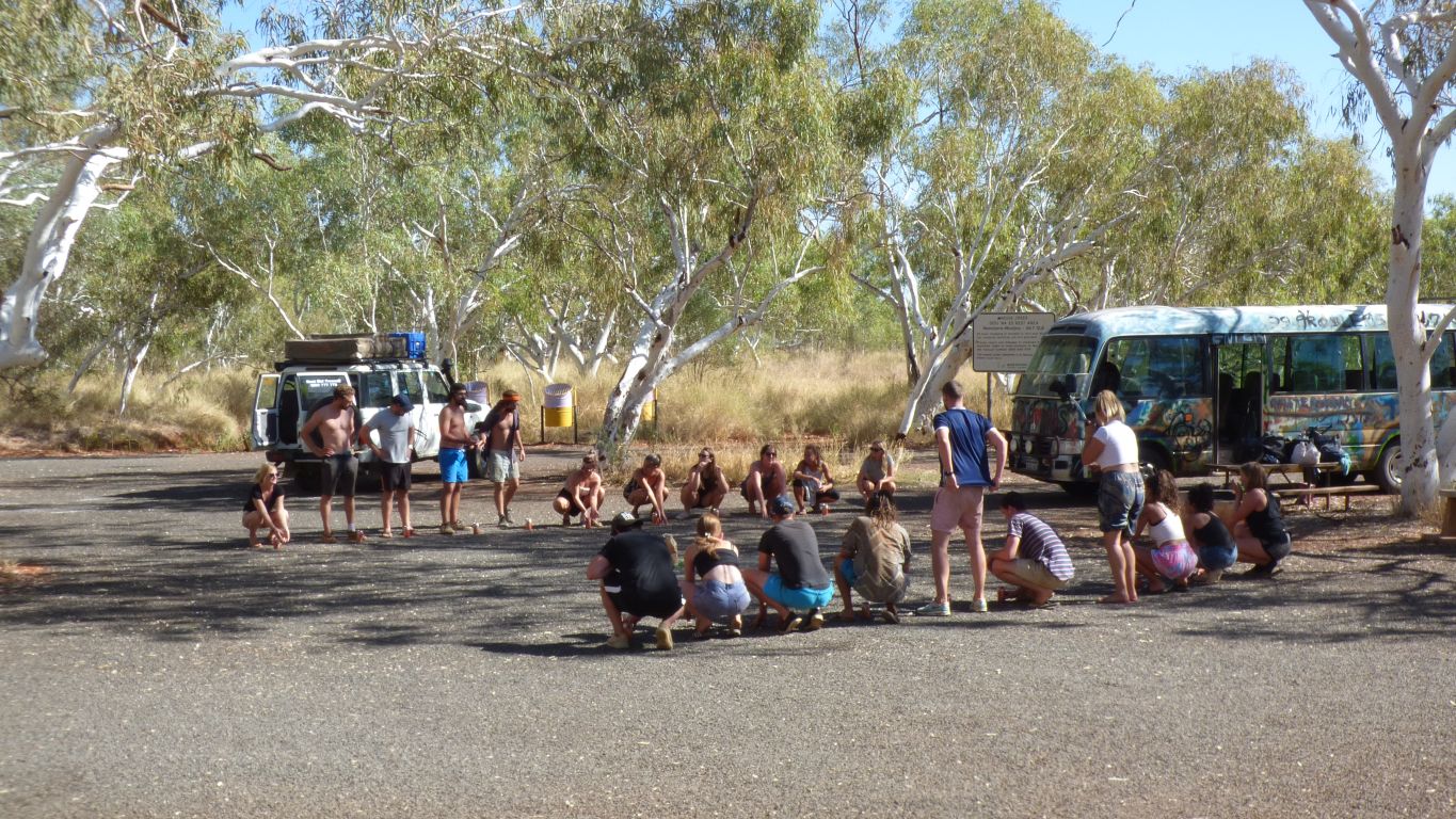
There is something worse than a neighbour's generator.
Its a tour group that left the bus engine running, turned up the music, played games, .......
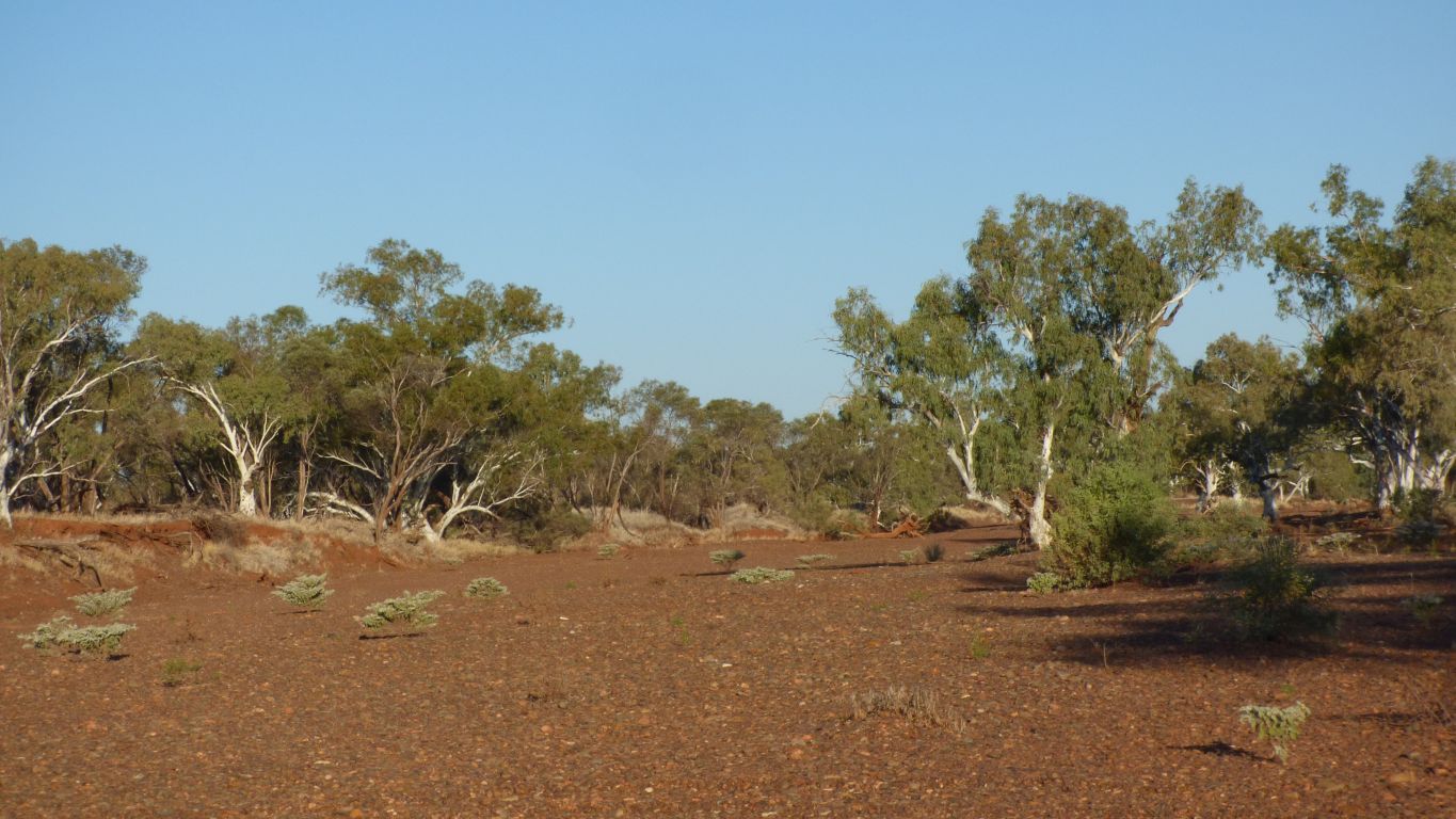
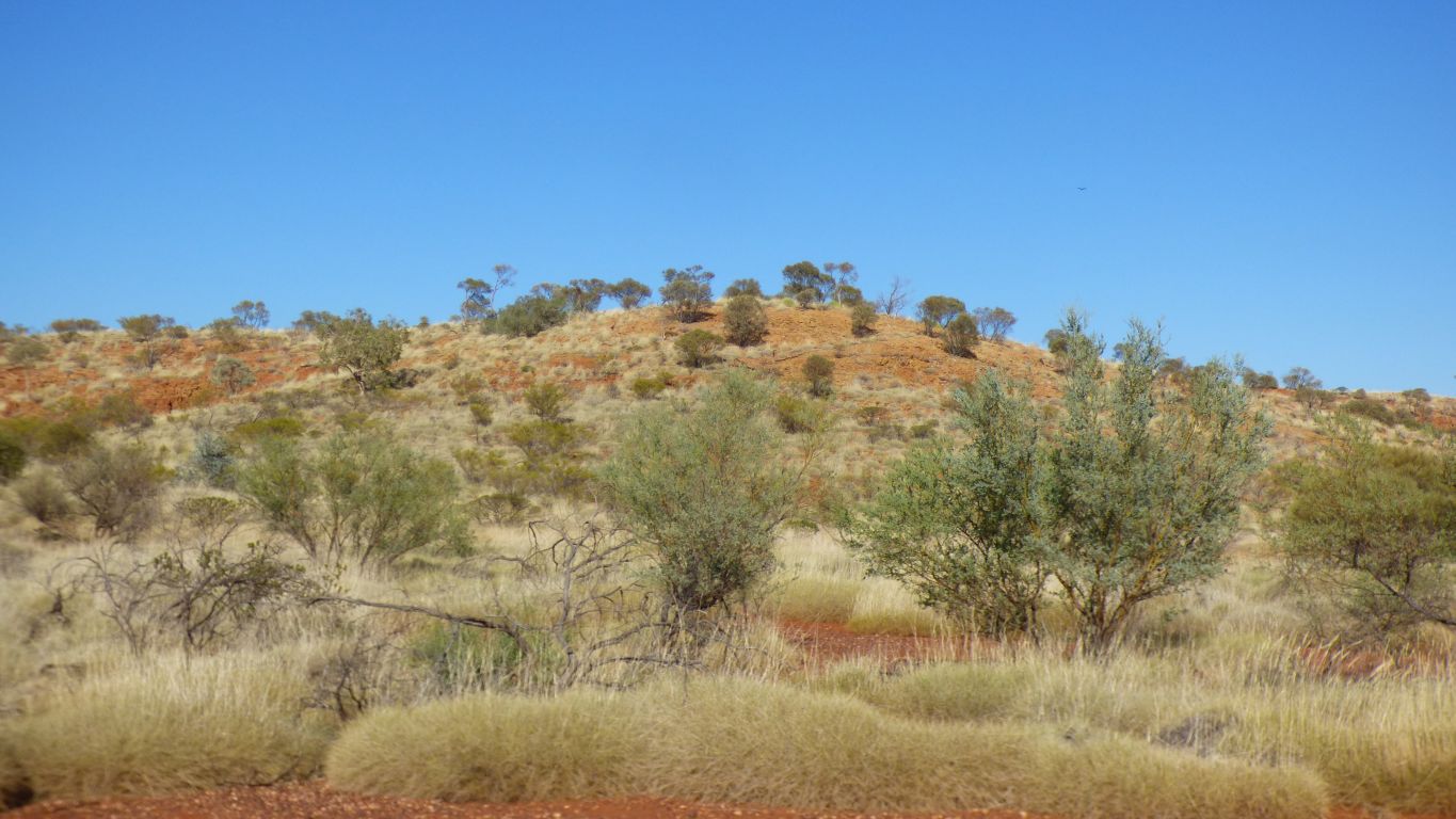
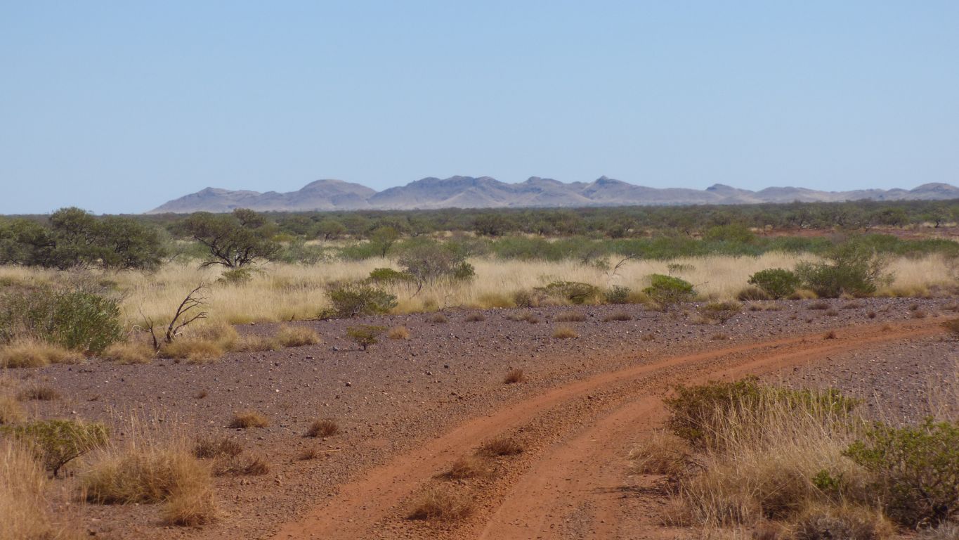
Early morning sun on gibber plain and spinifex covered red hills.
Research has been off and on for the last month. As we had internet and the time to use it. A mountain of information (so to speak) that has been distilled to make a bit of sense of the landscape in general and one site in particular.
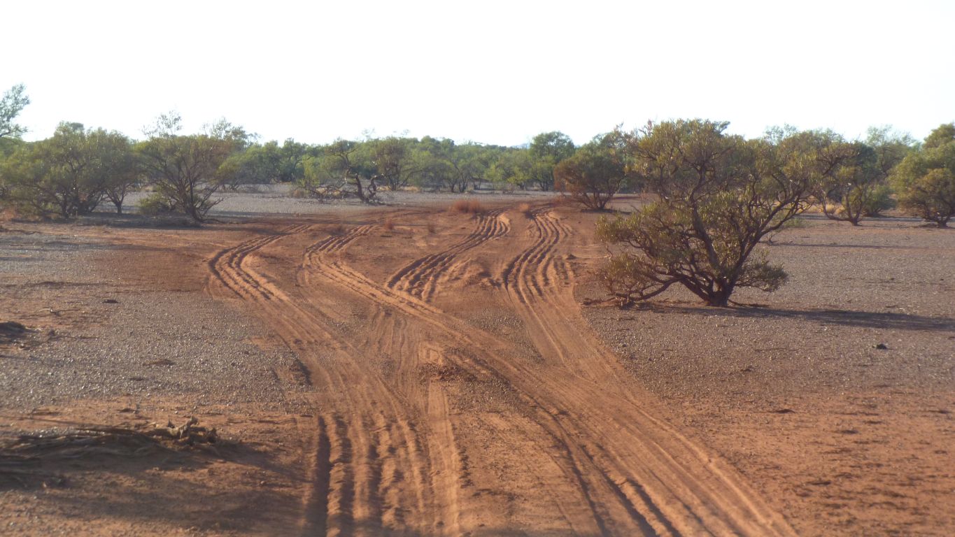
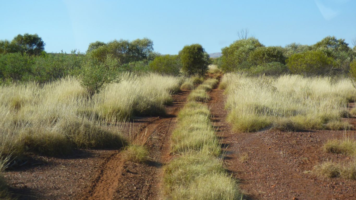
There's a lot of shallow bull dust on the track. Tyre pressures seem about right to maintain traction.
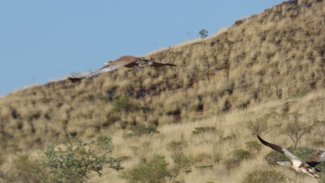
Now we know they can fly.
It looked like there had been one recent vehicle, in and out.
Nice to know we are probably on the right track. Initially it looked right following it on a 1:250,000 map with gps. Only 8 km, but a lot can go wrong.
The track got progressively further from the track on the map. But seemed to be headed in a sensible direction, and there's a creek somewhere in front to the east.
We believe its dolomite.
That seems likely as we know there is dolomite close by. Where we are headed.
The big birds flew away as we arrived.

We walked north up the creek bed. By the time we returned we had walked nearly 4 km.
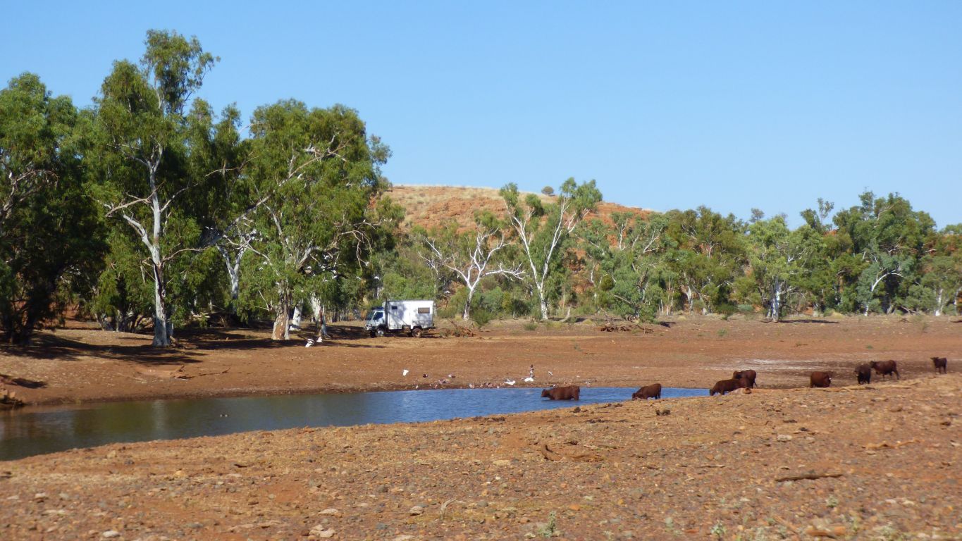
While we could treat the water from the pool for our use we prefer running water. We have more than enough to wait until Tom Price for a refill.
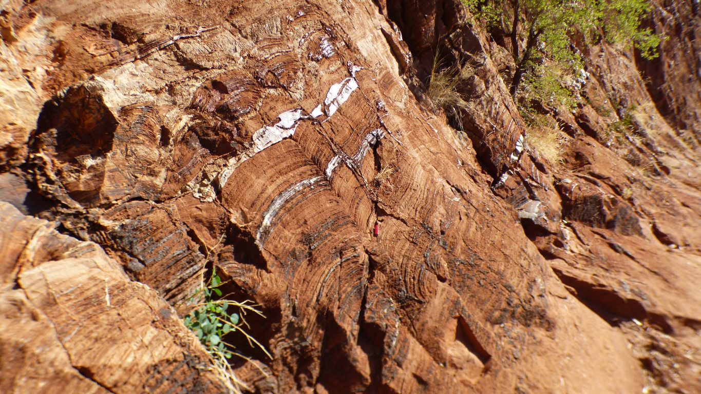
We try hard, apparently we are looking at a succession, showing basin deepening and basin shallowing. Rather we see a ridge through which the creek has carved a path.
Though the bands are curved.
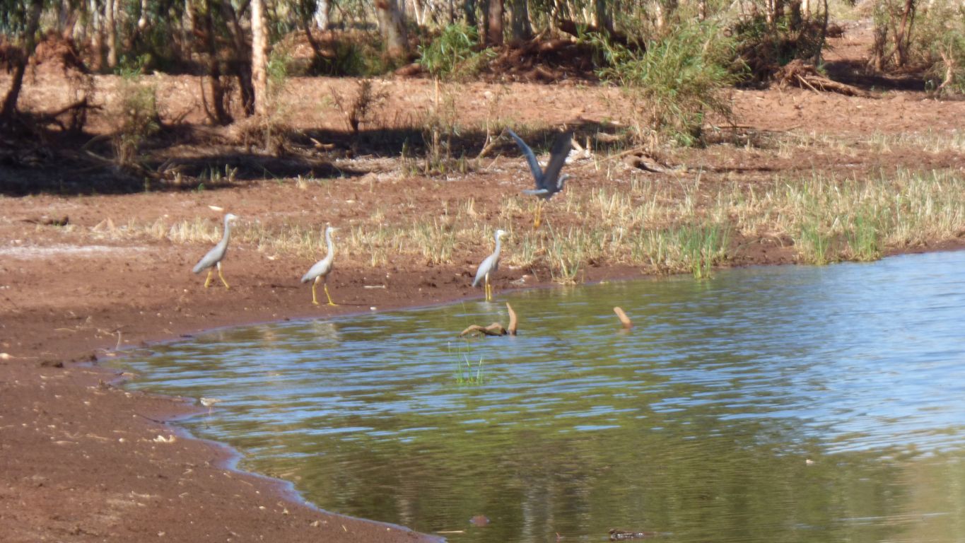
The flock (7 or 8) of herons saw us before we saw them.
Just where our research, and gps, told us.
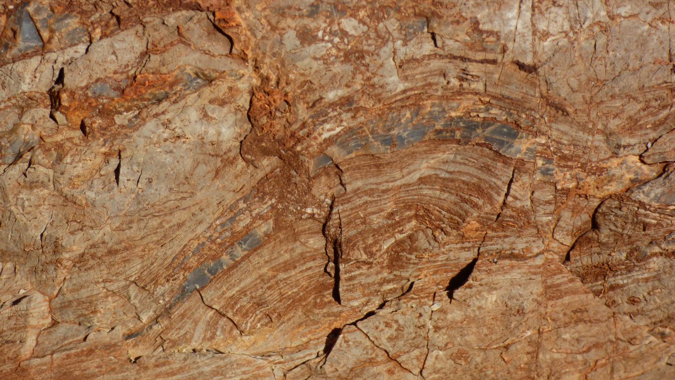
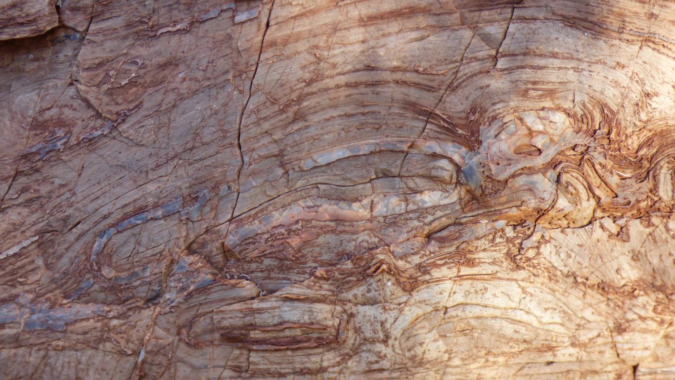
Remnants of a stromatolite in the band of dolomite.
The stromatolite is a microbial mat, in water, which collects sediment and seems to grow upwards as a column, or form a dome.
We are seeing the bands of sediment in the domed stromatolite against the straighter background band of dolomite.
This specimen is partly silicified.
We can only see the background tilt in one direction. Its a bit like turning a map around when the table isn't horizontal.
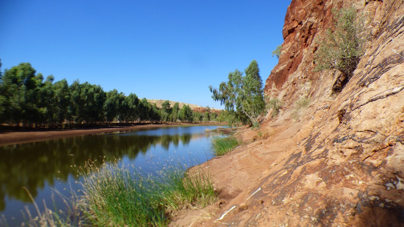
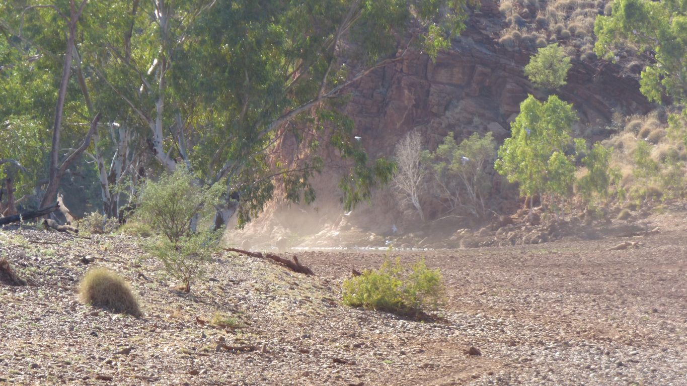
A big pool. Lots of river red gums.
A thoughtful person has left a swiss army knife in the middle of the pic so as to give an idea of how big.
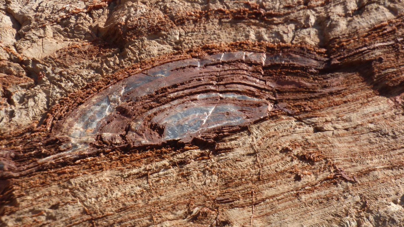
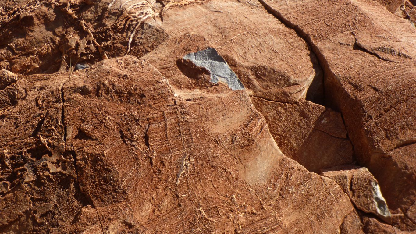
Opals, and agates, are the result of silicification. I think.
I can't recall previously seeing slicification so exposed. Sort of like an open geode.
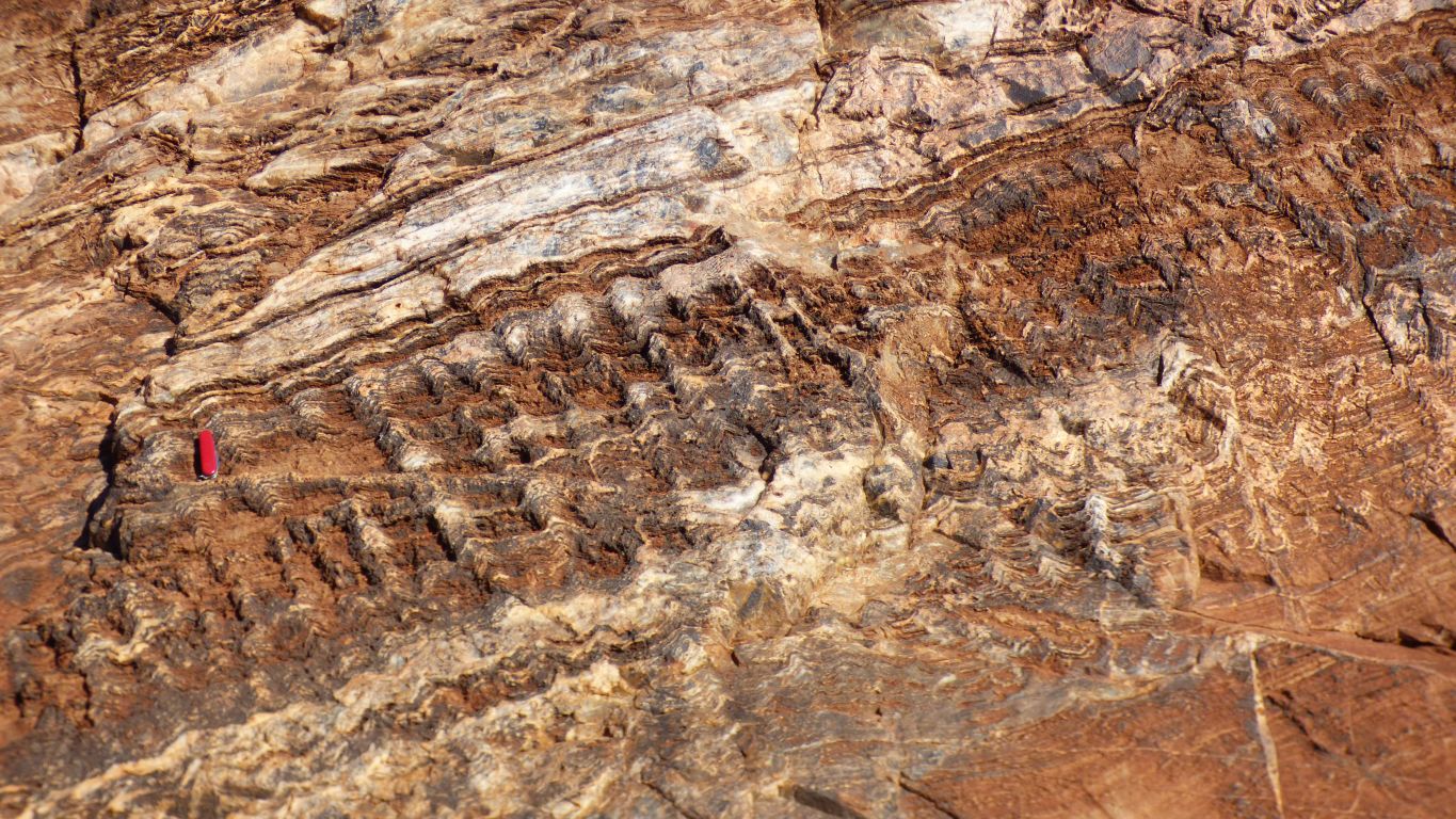
That confounded swiss army knife has made another appearance.
The top-left to bottom-right angle alignment of the columns is due to the tilt of the whole rock face, from top-right to bottom-left.
Because we don't know if there is a tilt towards us we don't know if we are looking at columns, as in Greek architecture, or the edge of ribbons. It may be just corrugated.
But we can imagine some prevailing movement in the water as these stromatolites grew. The geologists can recognise periods of low and high sediment which have contributed to the shapes.
Reminiscent (for me) of how the longitudinal dunes in the Simpson Desert were formed by the action of two prevailing winds.
But at least we can see the colour of the dolomite.
Stuck out like a sore thumb. Otherwise the site is pristine - cue for endless philsophical discussion on whether we should be here.
The answer is "yes". But what about everyone else. Where does it end .......?
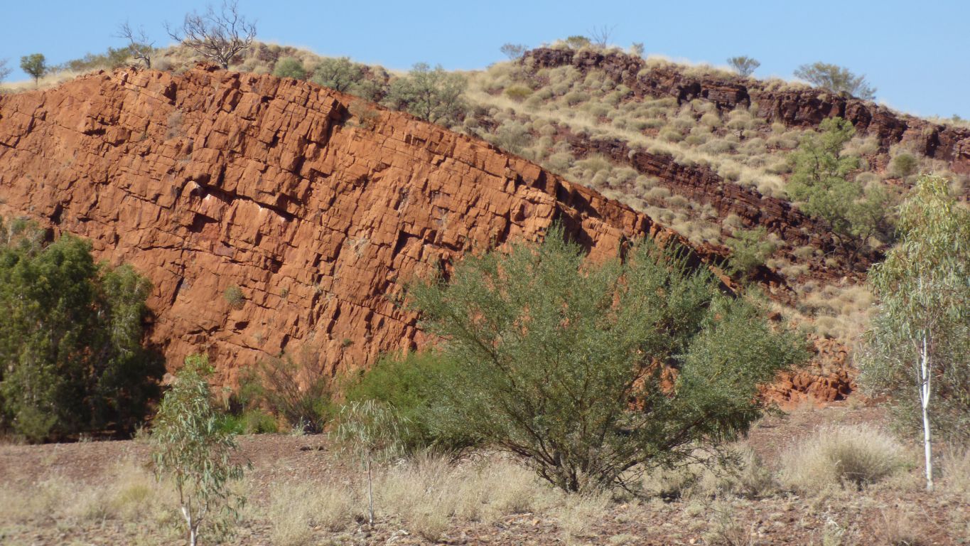
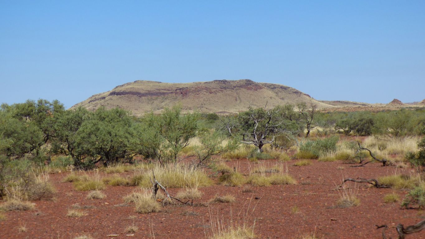
It makes a little sense, at least as much sense as geology ever makes, that we see some dolomite under the banded iron.
If only because we are at a much lower altitude than all the banded iron to the north and east in the Hammersely Range. We think. Though of course geology doesn't work like that.
Much more than that. With the Archean atmosphere (geological period a couple of billion years ago when this lot was formed) carbonates (that formed the dolomite) can precipitation due to microbial activity in shallow water whereas the banded iron formation is precipitated in deeper water.
I guess, over time, sea levels changed and the rock floor moved and the atmosphere changed and the temperature changed, so different microbes precipitated different stuff.
As is so often the case we forgot to look further so missed the organic rich shales that were formed in even deeper water. They were somewhere in this geological succession. Simply, there is so much to see we can't take it all in.
Perhaps most difficult though is the thought that what surrounds us was formed a couple of billion years ago, and since then has been eroded. Little bit by little bit.
Perhaps I do myself an injustice. Really we drove in the way we intended and found what we were looking for where we knew it would be. But where's the sense of adventure in that? It was at least an known unknown until it was known (to misquote someone more famous than I).
On the way out we admired the hills, again. The sun is higher. The direction different.
We have no idea why looking at some old rocks should make us feel happy. But it does. Most odd really.
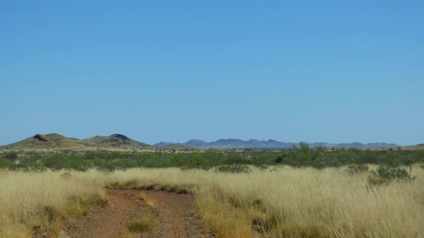
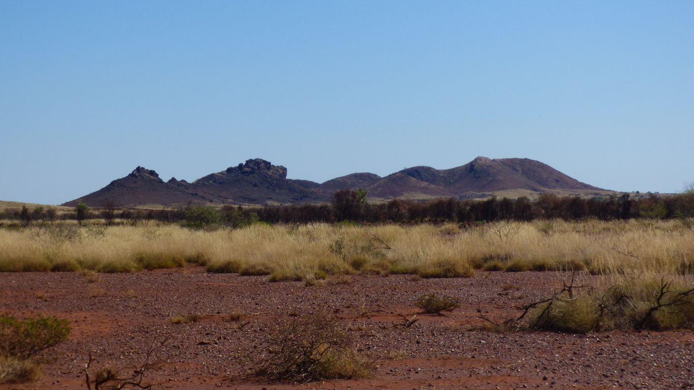
Way off to the north (these are to our west) and out of sight over the horizon is the Hammersley Range which extends eastwards through Karijini National Park.
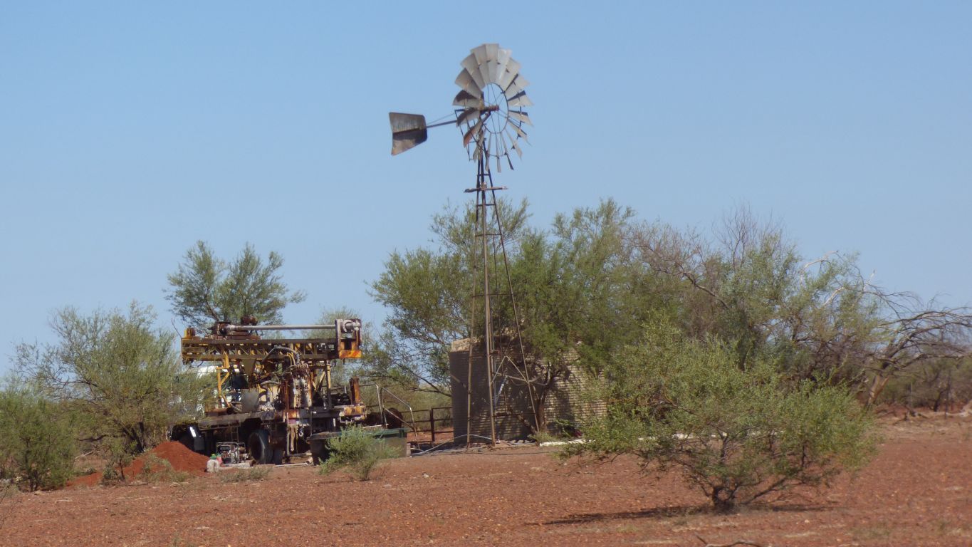
There is some serious drilling equipment. We noticed a big collection of old drilling equipment near the station entrance.
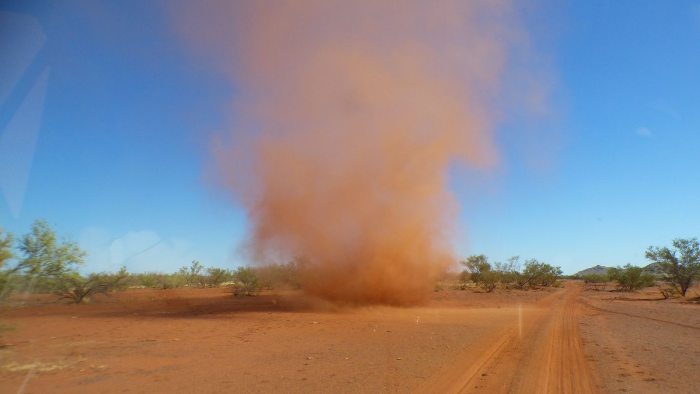
Clockwise looking down on it. We watched it grow. And weave its changing path.
We'd seen one a little while earlier, far away on the horizon, and mistook it for a fire. We did wonder for a bit what we would do if it headed in our direction.
For a few moments we couldn't tell the difference between the willy willy dust and the cloud of our own dust that overtook us whenever we stopped.
Fortunately none of the dust from either got inside. Its very fine and has filled the desert pin stripe on the outside of the truck.
And, of course, having seen fossil stromatolites we will have to find a way of seeing live stromatolites. Hamelin Pool is about 600 km SW of us, and we are headed NE.
I nearly said "in the wrong direction". But of course there is no such thing.
We did wonder about the wisdom of a 500 km, 4 day, diversion from our original plan but aren't we pleased our wisdom failed us.