The sort of track a giant snail may make.
Apparently concrete. Possibly even reinforced.
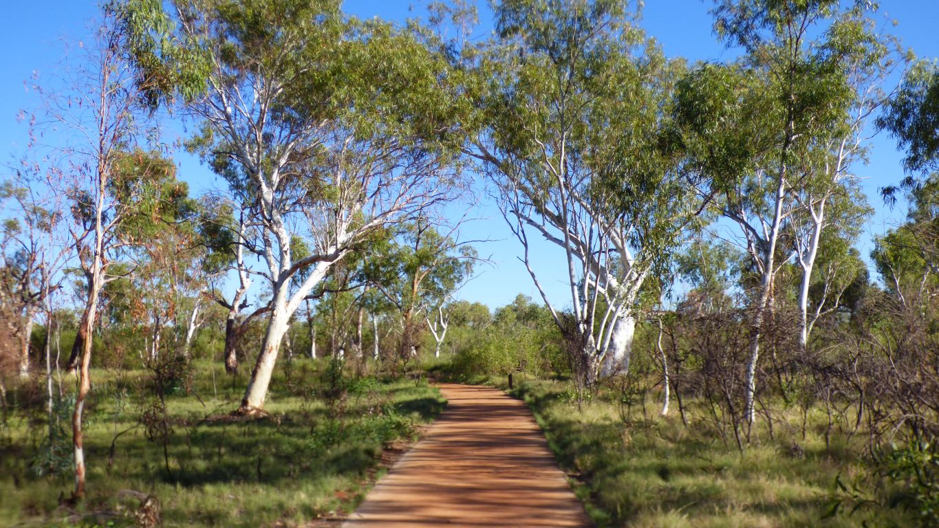
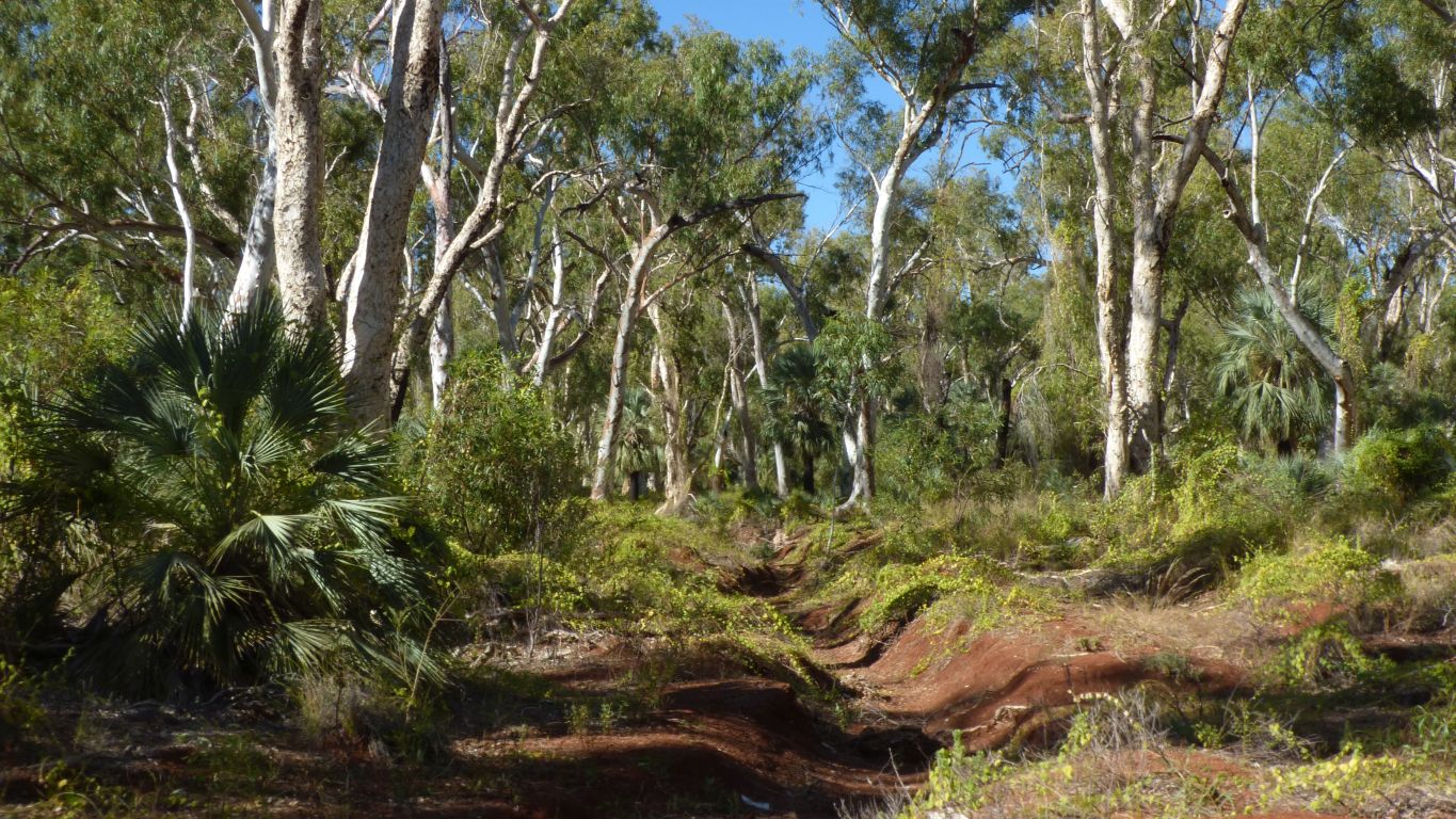
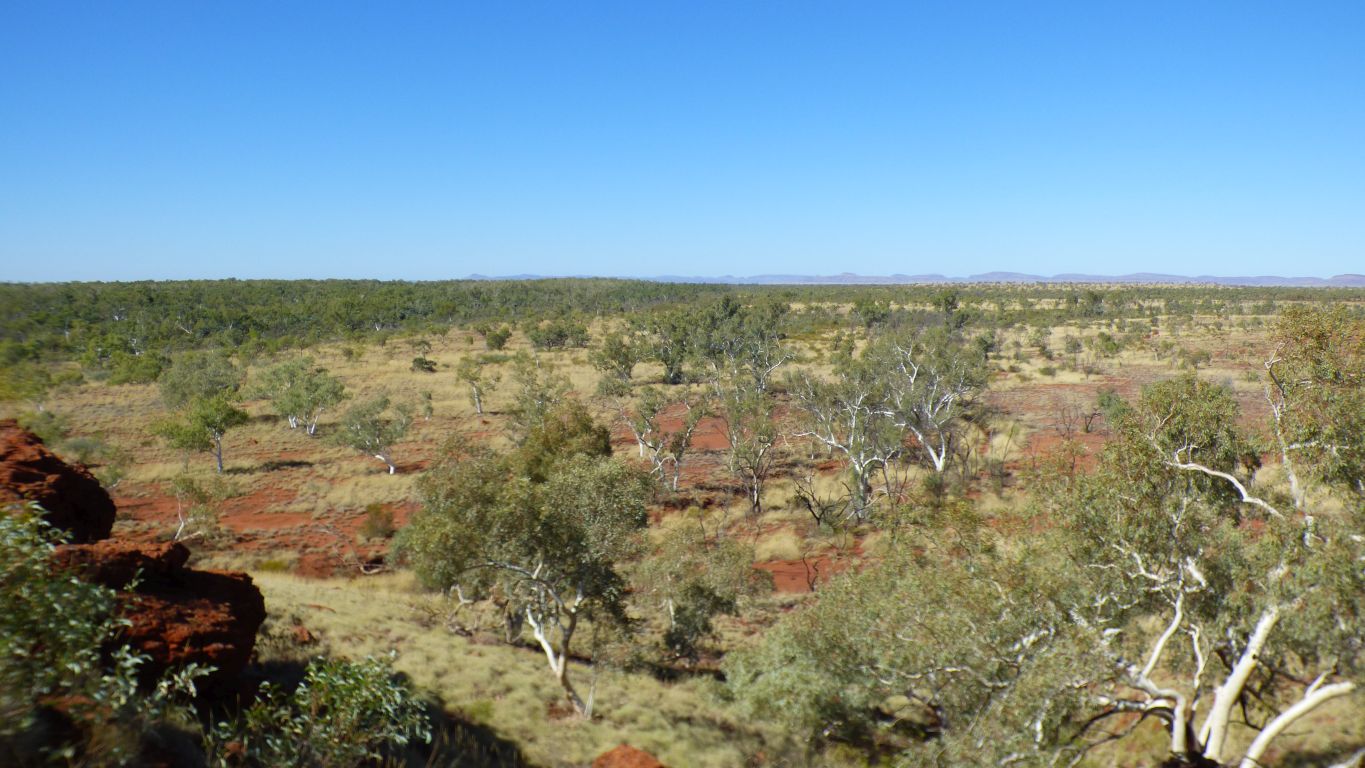
We've walked a couple of km from Stargazers campsite to Deep Reach Pool. This is the last 400m. Hard and unforgiving under our feet after the softer gibber plain.
Barbecues, tables, shade, and other facilities have all sprouted at the end of the concrete snake. The plush deluxe loo is next to the car park at the start.
Two sets of steps into the water provide for swimming.
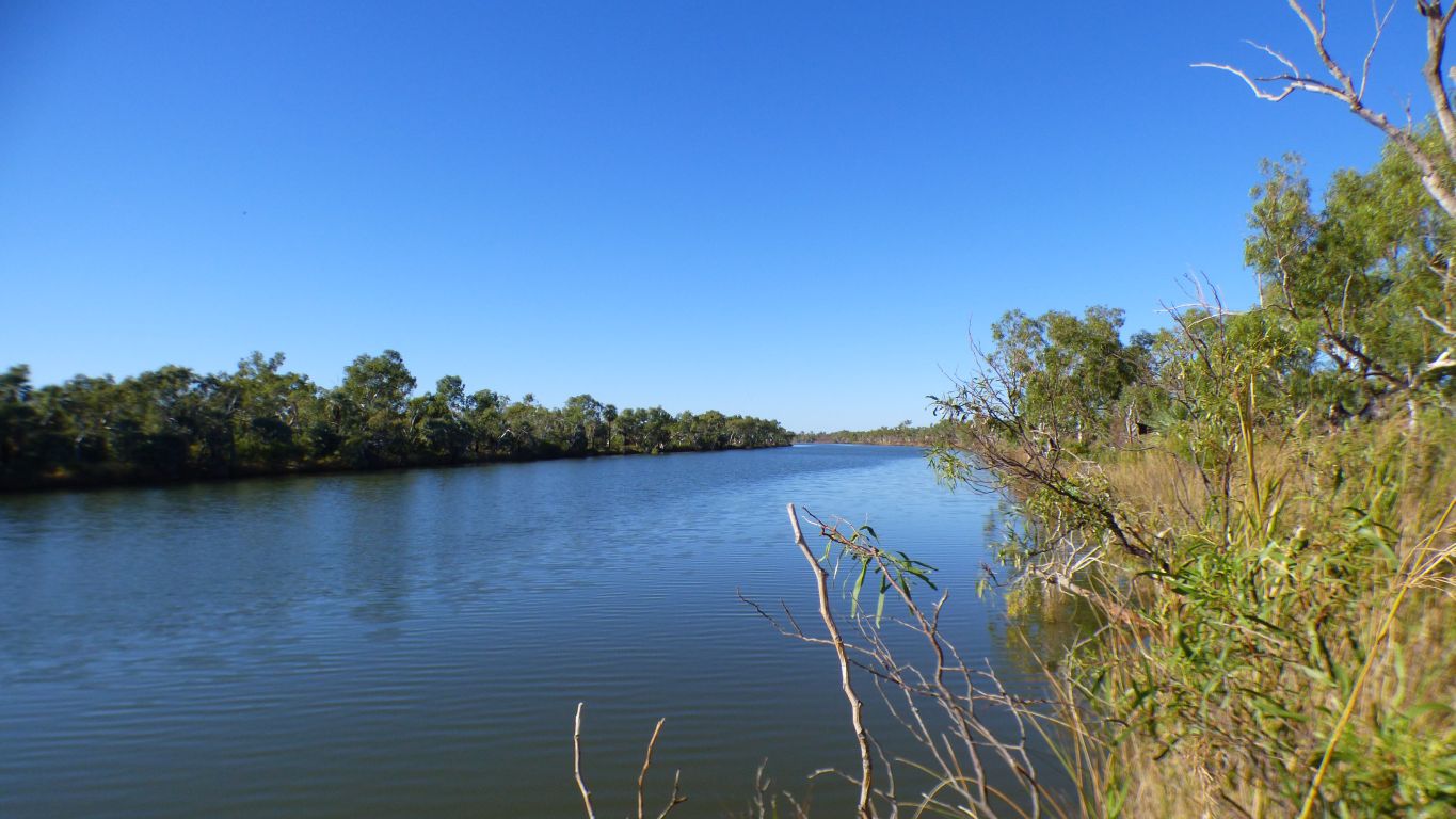
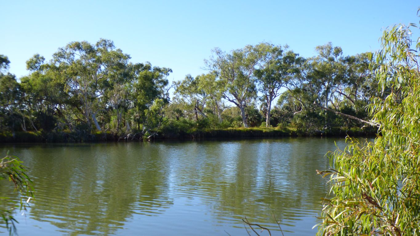
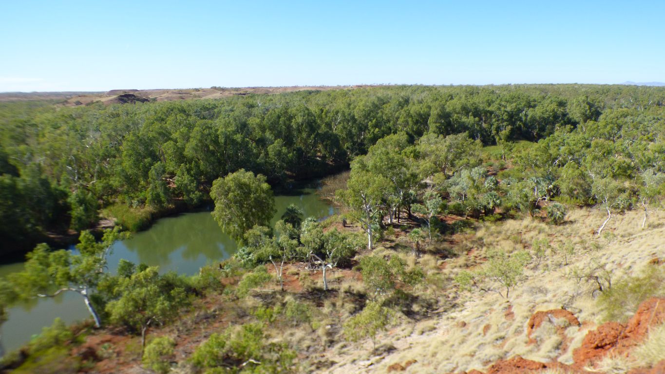
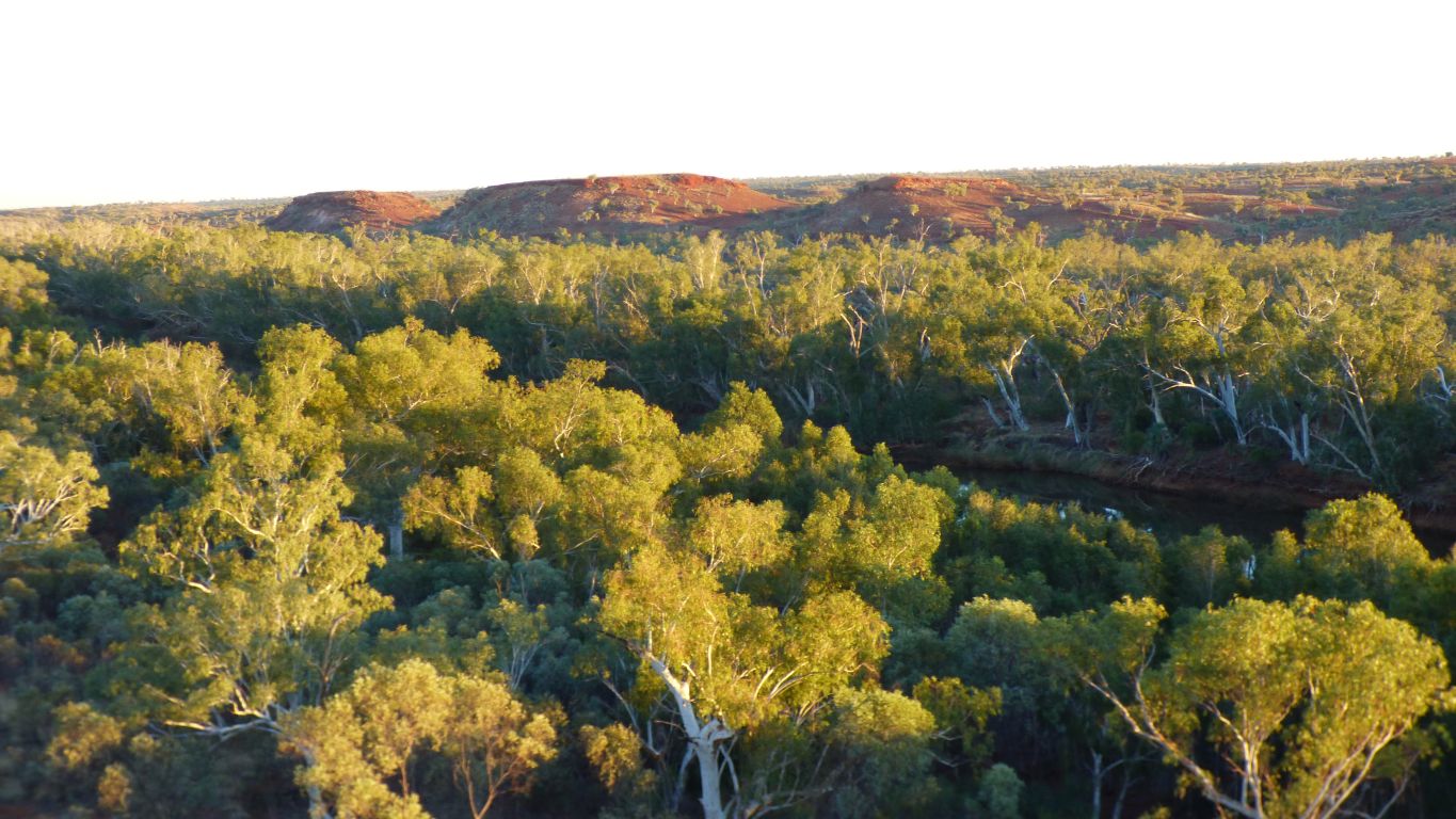
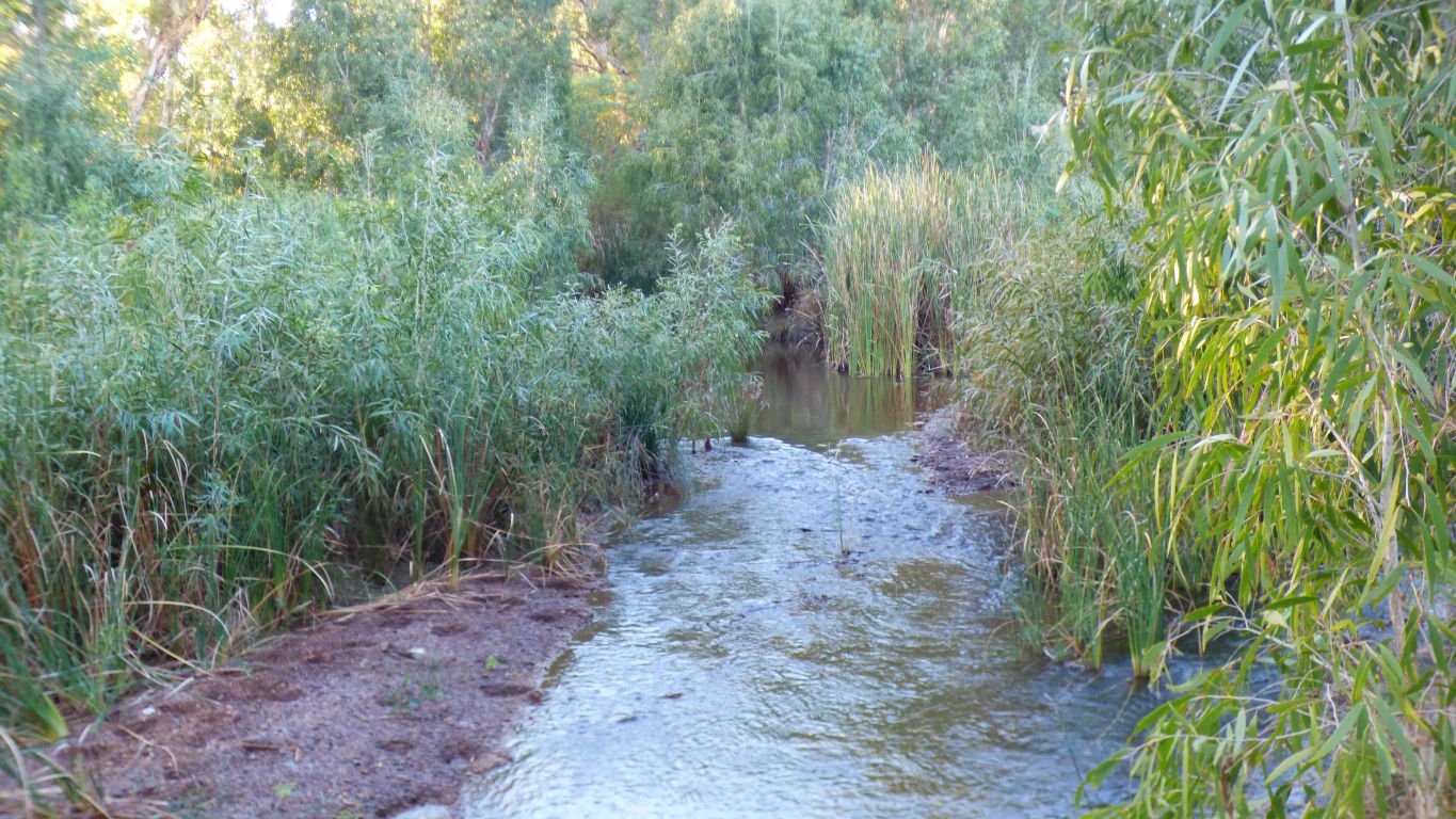
And if I hold the camera high above my head a view along the river.
We decide to try the riverbank. There are faint remnants of vehicle tracks but no foot tracks.
It would possibly / probably have been somewhere along here that I camped in 1978.
From the Stargazers campsite to here has been 2.5km.
I understood the visits would be difficult to compare. Re-visiting anywhere after 40 years is bound to find some change. And our style of camping is very much different.
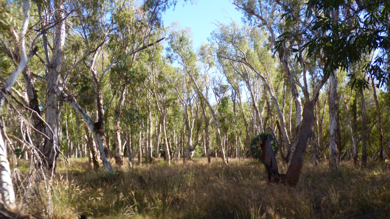
The paperbarks (or maybe snappy gums?) have epicormic shoots characteristic of their normal recovery.
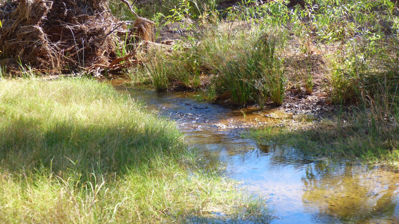
River red gums closer to the water's edge.
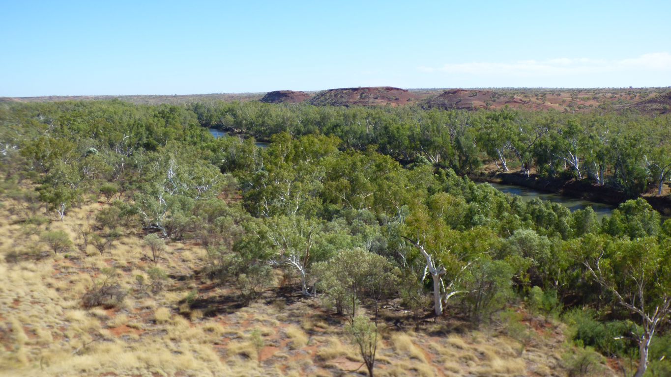
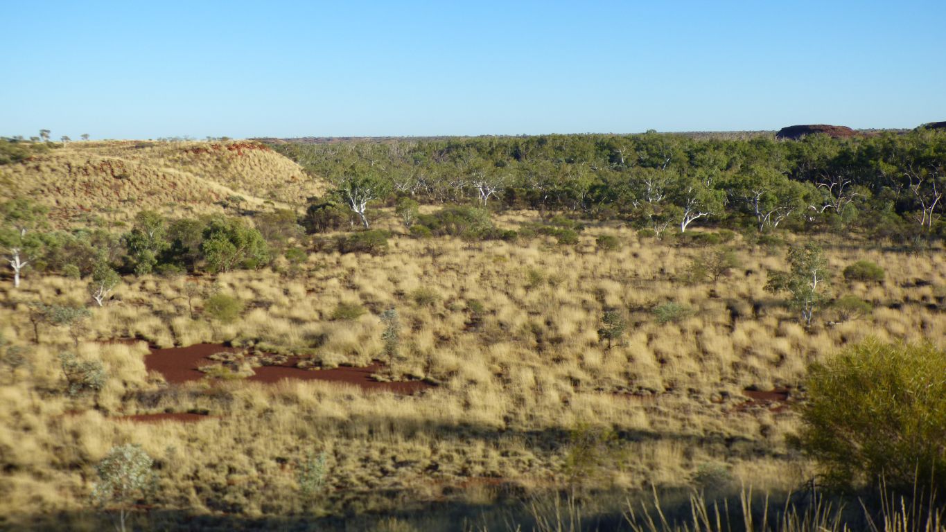
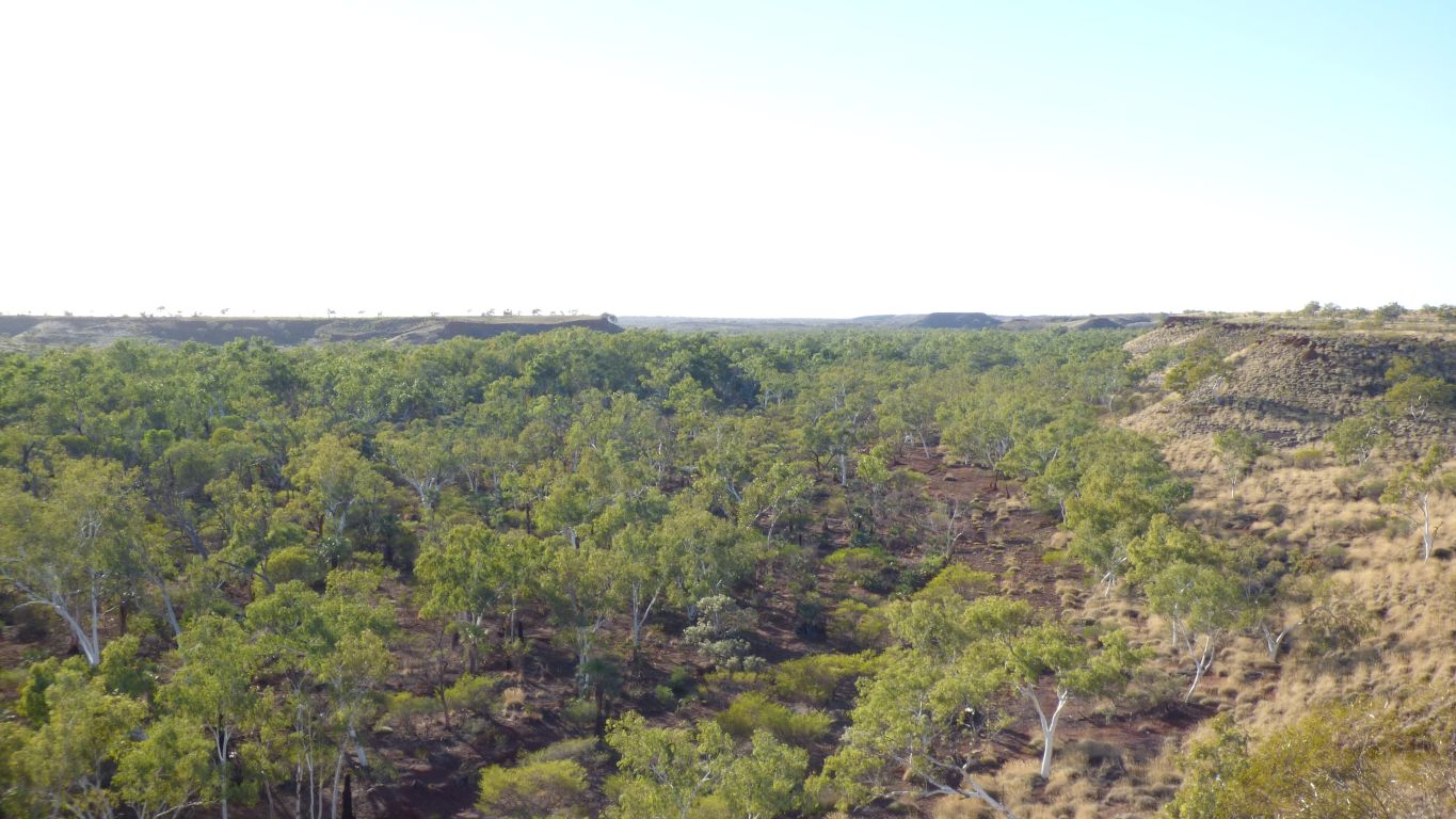
From deep reach pool there is a dry braided river bed to the next pool, Crossing Pool.
The river bed is a whitish rock. We met dolomite at the stromatolite site and have begun to understand its formation. We wonder if this is more dolomite.
Presumably the deep pools have formed where the water was able to break through the crust.
Memory says there are catfish in the big pools.
Nevertheless, a vine which doesn't look like it belongs.
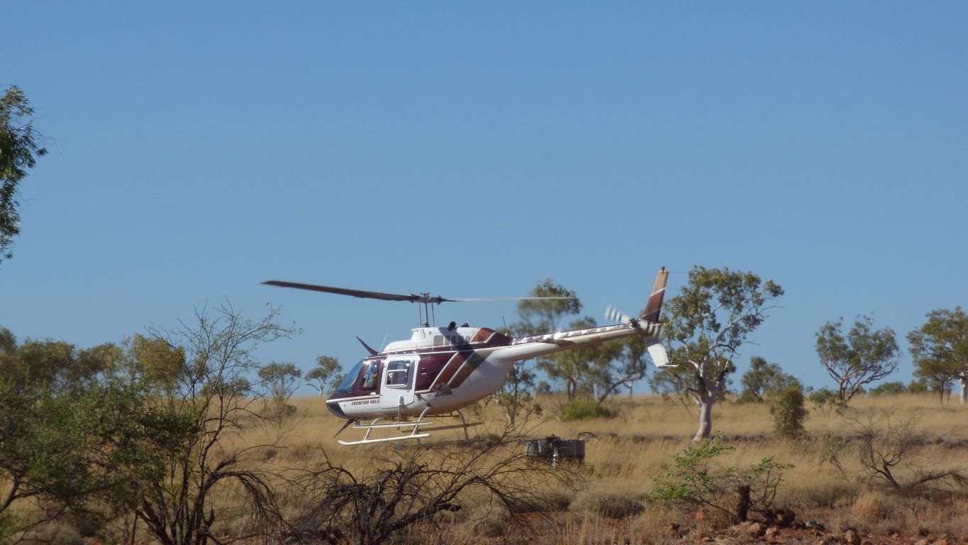
Pasiflora apparently. Through a lot of the waterways in the park. The approach to elimination is to aerial burn (we saw the helicopter early this morning) then chemicals to control.
As well as burns west of the homestead there's burning in the north of the park near George Gorge. They finish burning Wednesday so Thursday morning we'll have a look at the satellite view with the Ranger to see if George Gorge is safe.
We want to have a look there because we can.
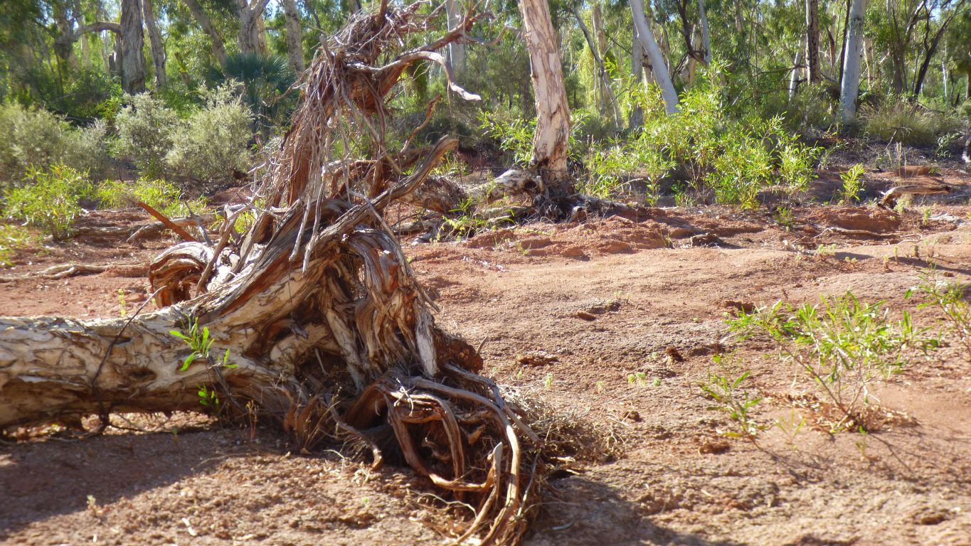
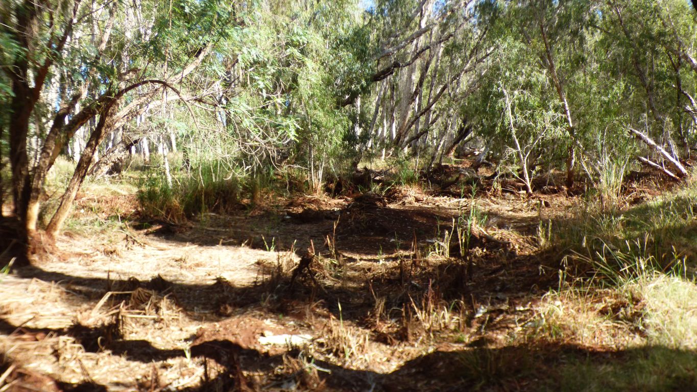
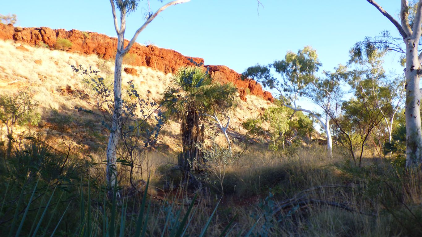
There's a bit of evidence of flood debris along the edges of the watercourse. But not much soil and the tree looks like it struggled to penetrate the underlying rock.
Difficult to know but this braid of the creek is probably the most southerly.
Which is good.
We don't want to be too far north and find ourselves on the wrong side of the pool.
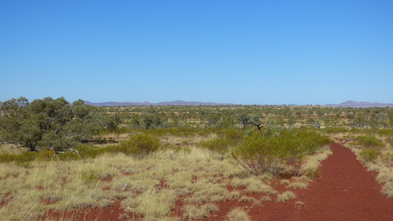
We are aiming for the cliff lookout above the pool on the southside.
Just guessing, a crossing at the east end of Crossing Pool.
On the map there's tracks leading to both sides of the pool about halfway along, which is a bit more than a km away from here. We'll check when we circumnavigate the pools on "Snappy Gum Drive".
There's a water pipe shown on one of our maps, outside the park to the south. We wonder if there were attempts to irrigate and a bit of leftover pipe was conveniently used here.
In 1978 the homestead was a "tavern". Now its a visitor centre.
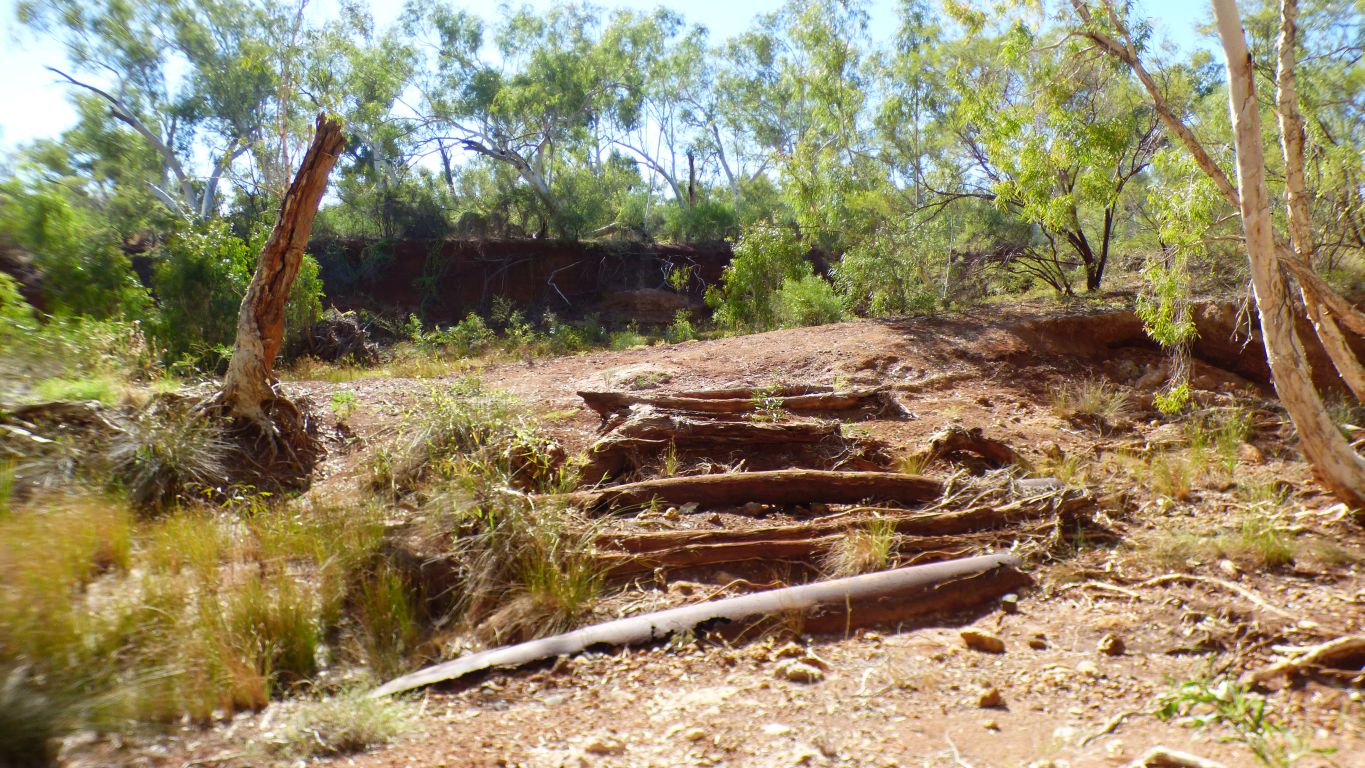
The track is long gone, the other side of the creek is a 3m high wall of dirt.
Placing our gps fix on the computer map later it seems that if we had followed the creek for just another 100m we would have been looking along the length of Crossing Pool from the east end.
We have no idea if that is possible though may have a quick check on satellite view when next we have internet (there is none publicly available in the park).
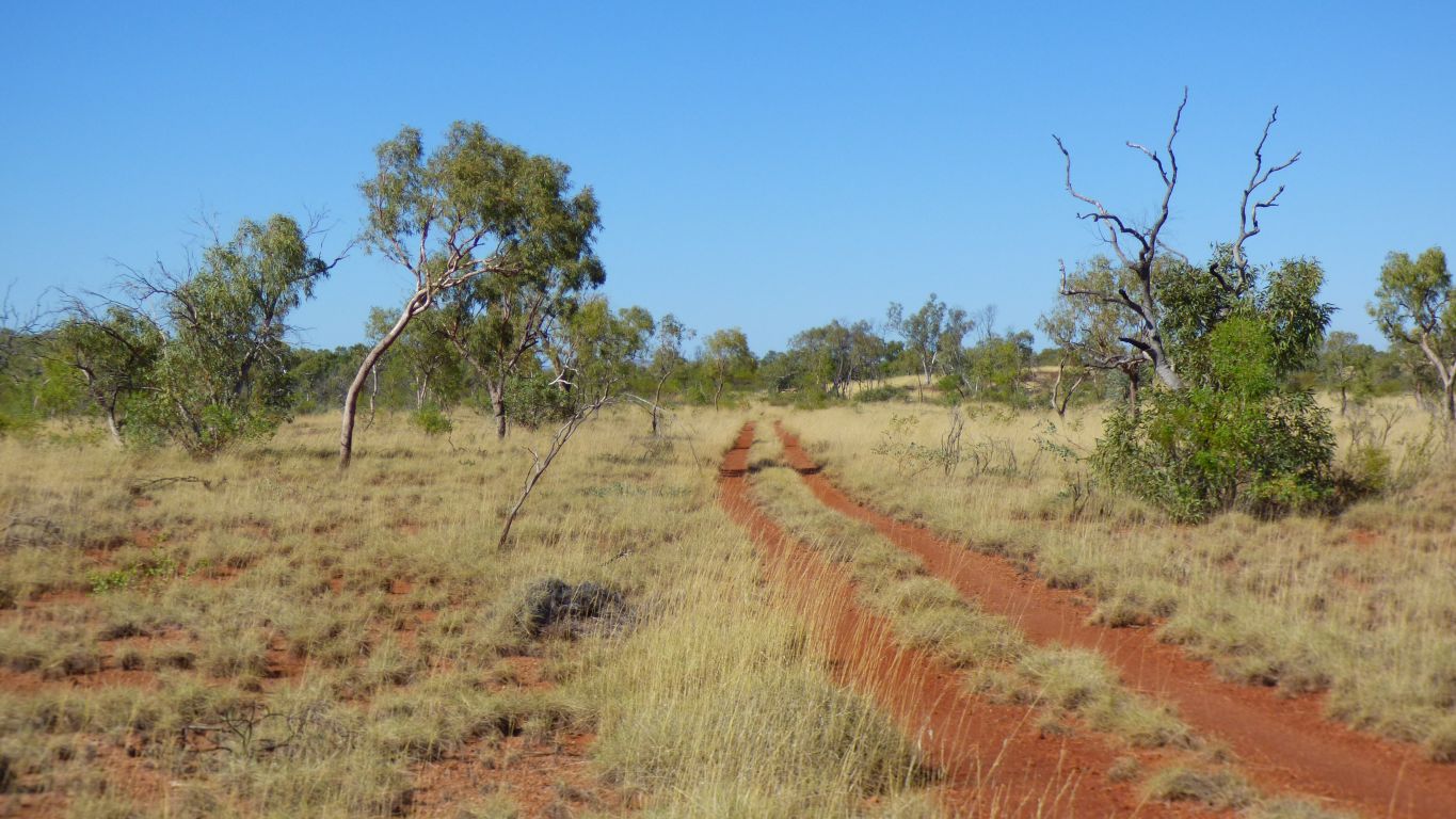
A surprise, we find an old vehicle track leading east.
I imagine its quite possible one I drove along in 1978 to camp near the water though memory does become blurred over time.
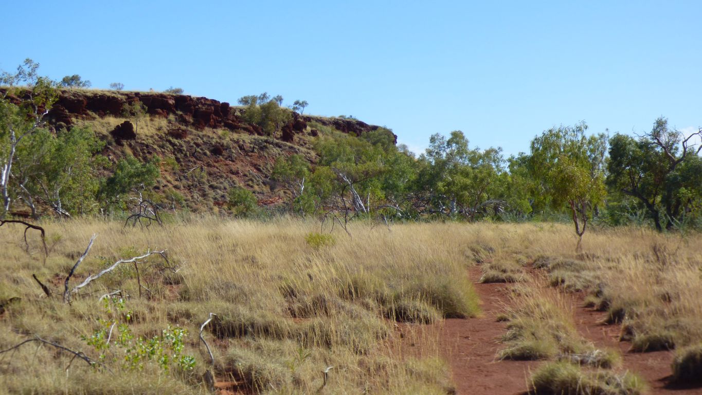
There are obvious paths up without rock climbing.
All sorts of colours.
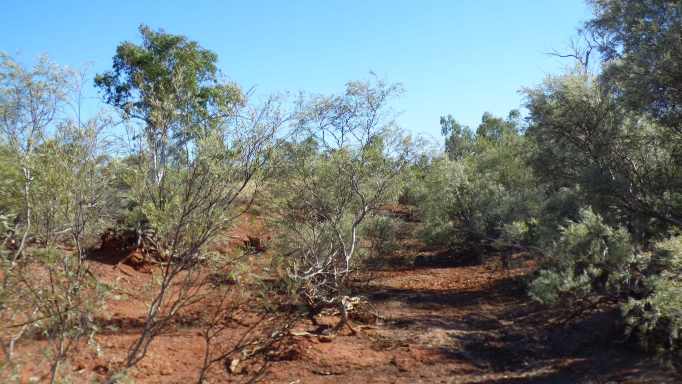
More or less just (50m) inside the dense trees line.
Eee but it were tough ........!
We first encountered the Fortescue River in the Fortescue Marshes near Roy Hill Mine, on the road north of Newman.
Its flowed westwards, mostly underground, between the Chichester Range to its north and the Hamersley Range to its south.
Picked up water from the ranges along the way, some of it from the gorges we visited.
It has to surface here to find its way through a relatively narrow gap at the edge of the Chichester Range.
There's a rail line in there somewhere.
Our short walk became 10.5km. Back at campsite for lunch.
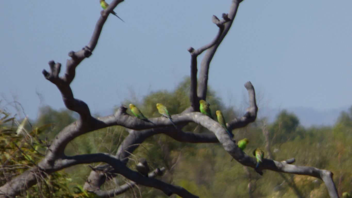
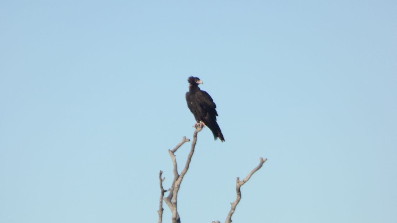
Consolation prize. A quick snap of a small flock of budgerigars.
Local knowledge suggests the background noise (a sort of hum) that we hear around the park when the air is still is probably from pumps in the bore field that extends either side of the river to provide water for Karratha.
Alternatively I thought it may be the sound of trains from the lines 15km away.
Noticeable but not intrusive.
For now we enjoy the cooling breeze.
Ali stayed home.
I was a few minutes late, looking northish.
Too many reeds and other vegetation to look along the pool. For some strange reason it simply didn't occur to me to wash my feet.
I learn later, from notices at the Visitor Centre that access to Crossing Pool is closed.
There is erosion at the west (outlet) end of each pool. Crossing Pool is 2m lower than it was around 1980 when monitoring really began. A 2011 Department of Water pamphlet in the camp kitchen describes the erosion and also some futile attempts to create a sandbag weir in the channels.
My interpretation of their pamphlet is the erosion is a bit like a waterfall which works its way upstream as erosion occurs. The channels upstream of the water fall also erode to become deeper.
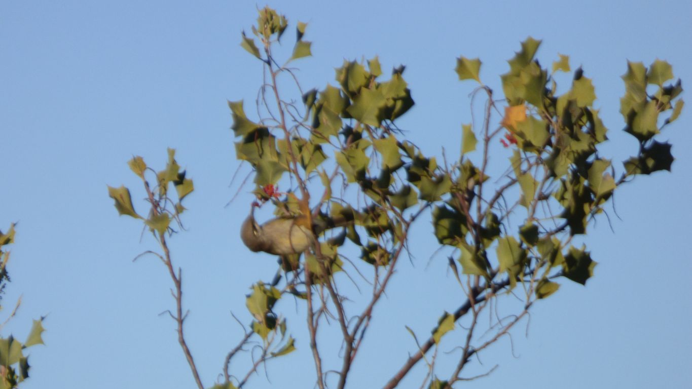
Where I left the river to climb back up the cliff I spied this bird with very long beak. Harvesting nectar from flowers.
I heard lots of birds along the river bank, saw few, and took pics of none. They were all too fleeting. Small birds with loud voices.
I found a track along the cliff top which dropped down to river level almost at the junction.
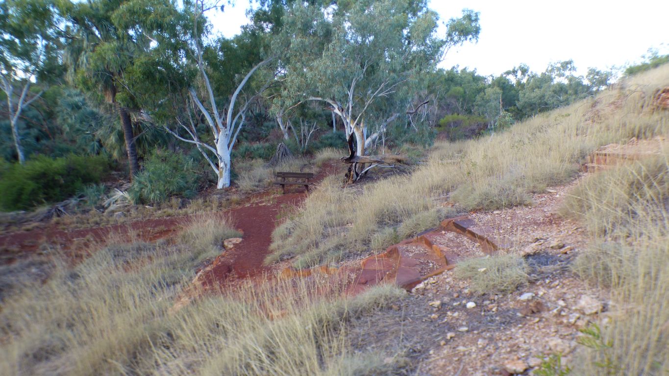
But as it dropped off the cliff it became civilised. A track junction that formed a loop from the homestead. With signposts, steps, and a park bench.
I chose the longer track (2.5km) that looked like it followed Millstream.
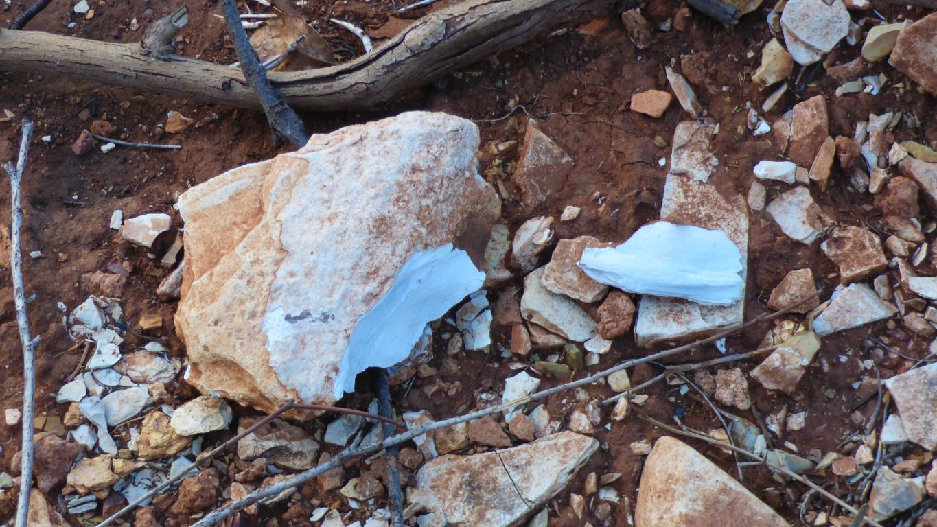
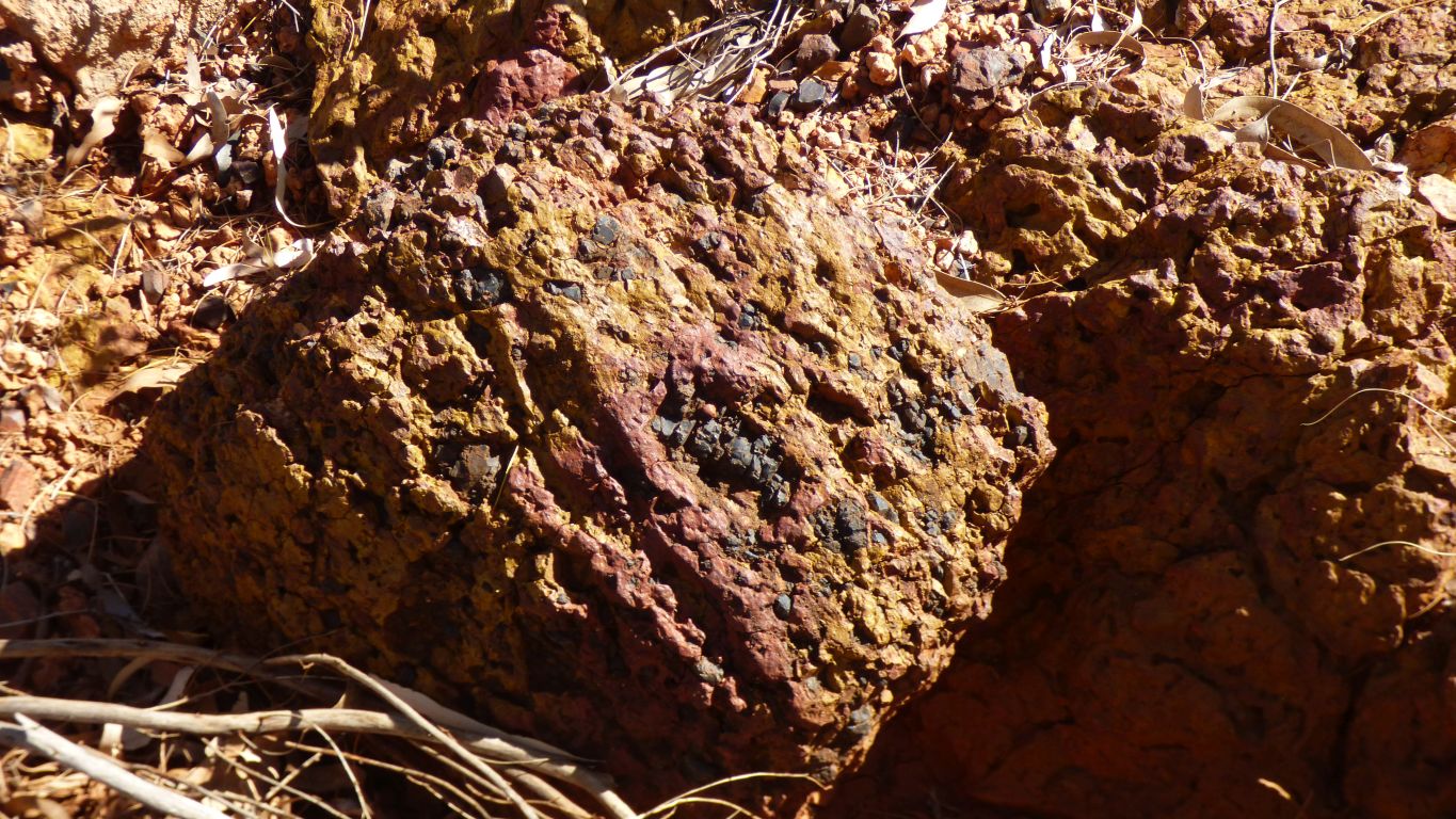
Below the junction there was a broken rock.
Very obviously dolomite.
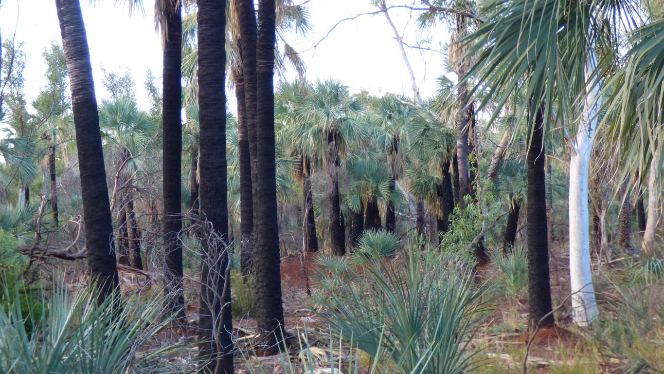
Now unique to this area but a very long time ago throughout the Pilbara when it was covered in rainforest.
Edible outer part of the seeds. And the inner provides a black colour.
There were a few more in the bush.
We haven't seen many.
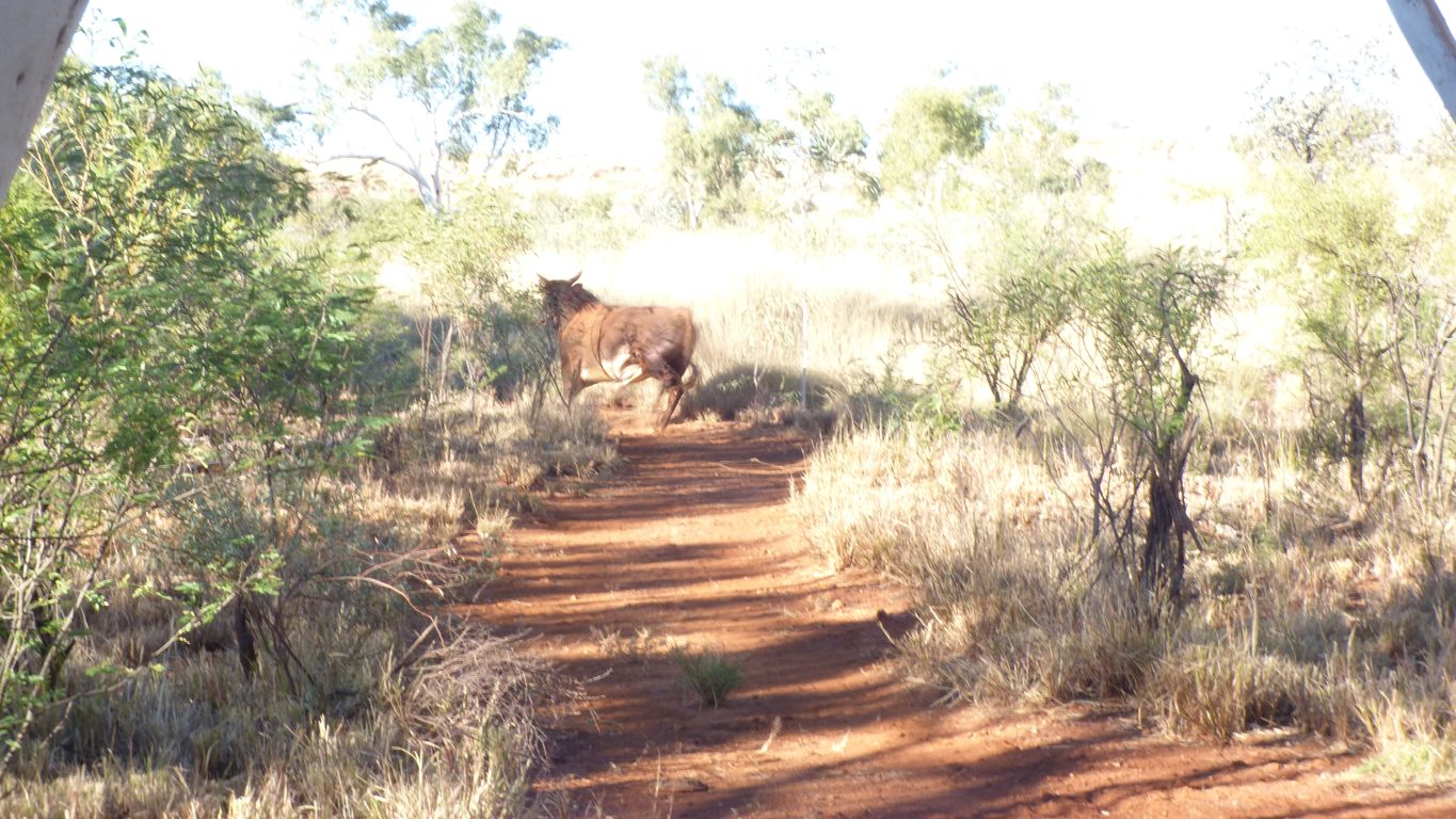
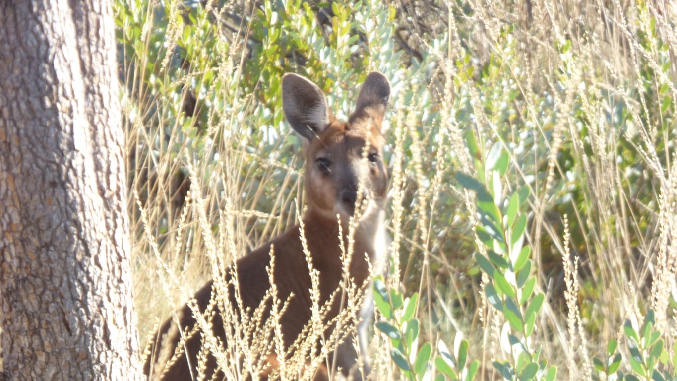
A red kangaroo that bounced away after sizing me up. We;ve now seen a few in the park.
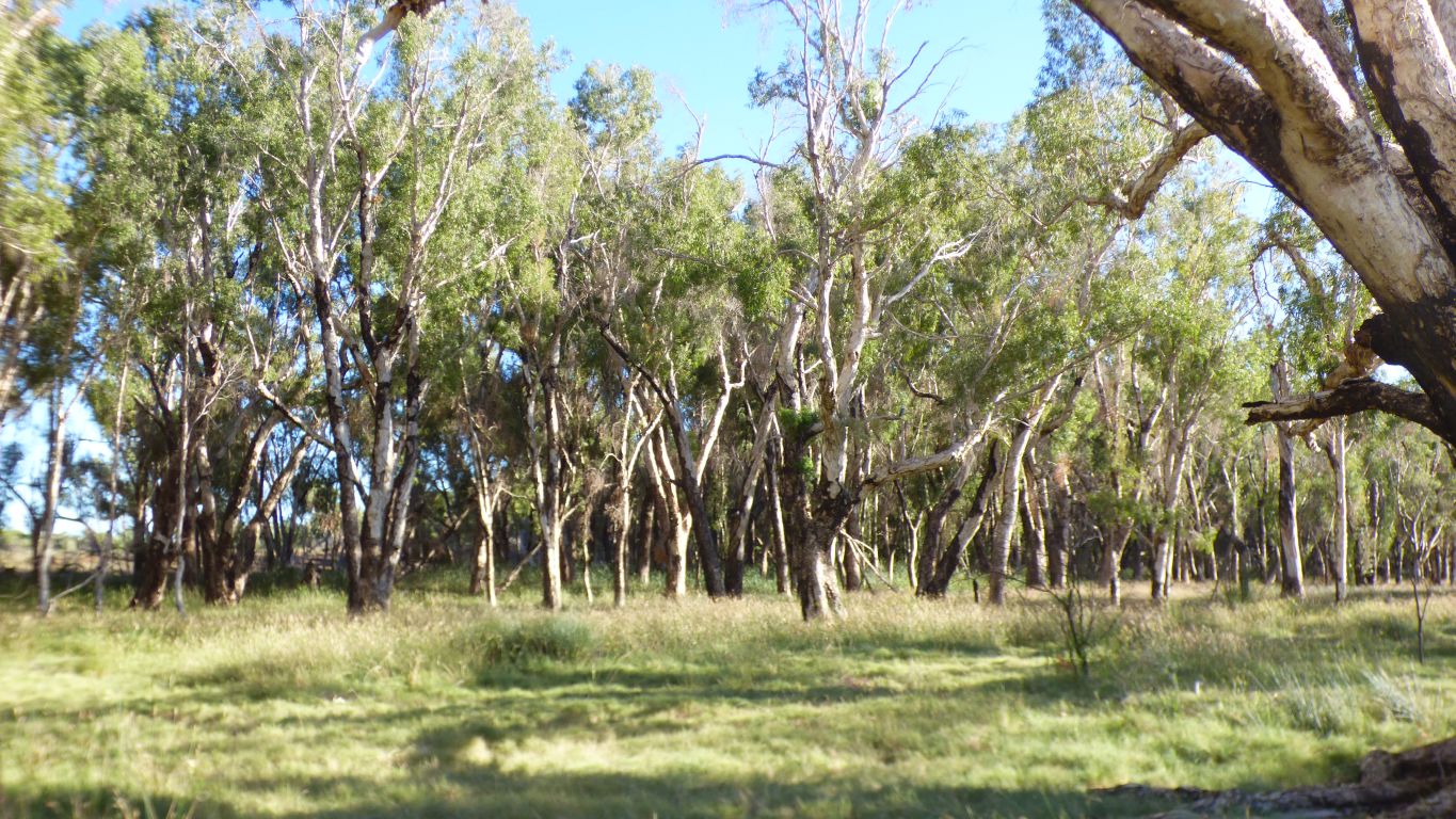
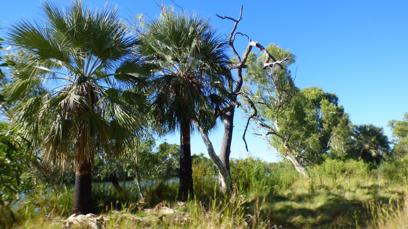
A melaleuca. Probably what we have been generally calling paperbark.
Tea trees are melaleucas. There are some along the riverside.
The bark is very useful.
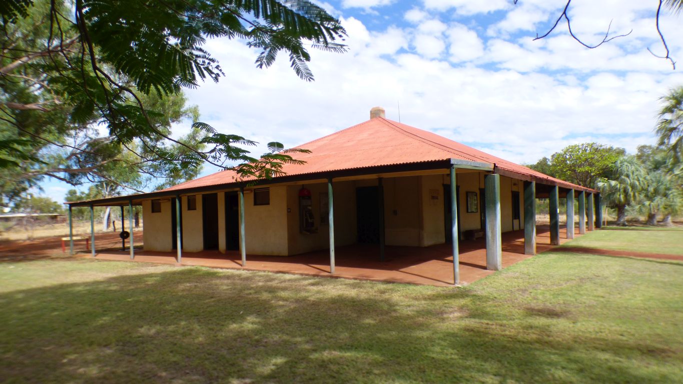
More or less. The pillars across the front are heavy concrete, further round thin wood.
There's been a few additions over time. Including the public loos.
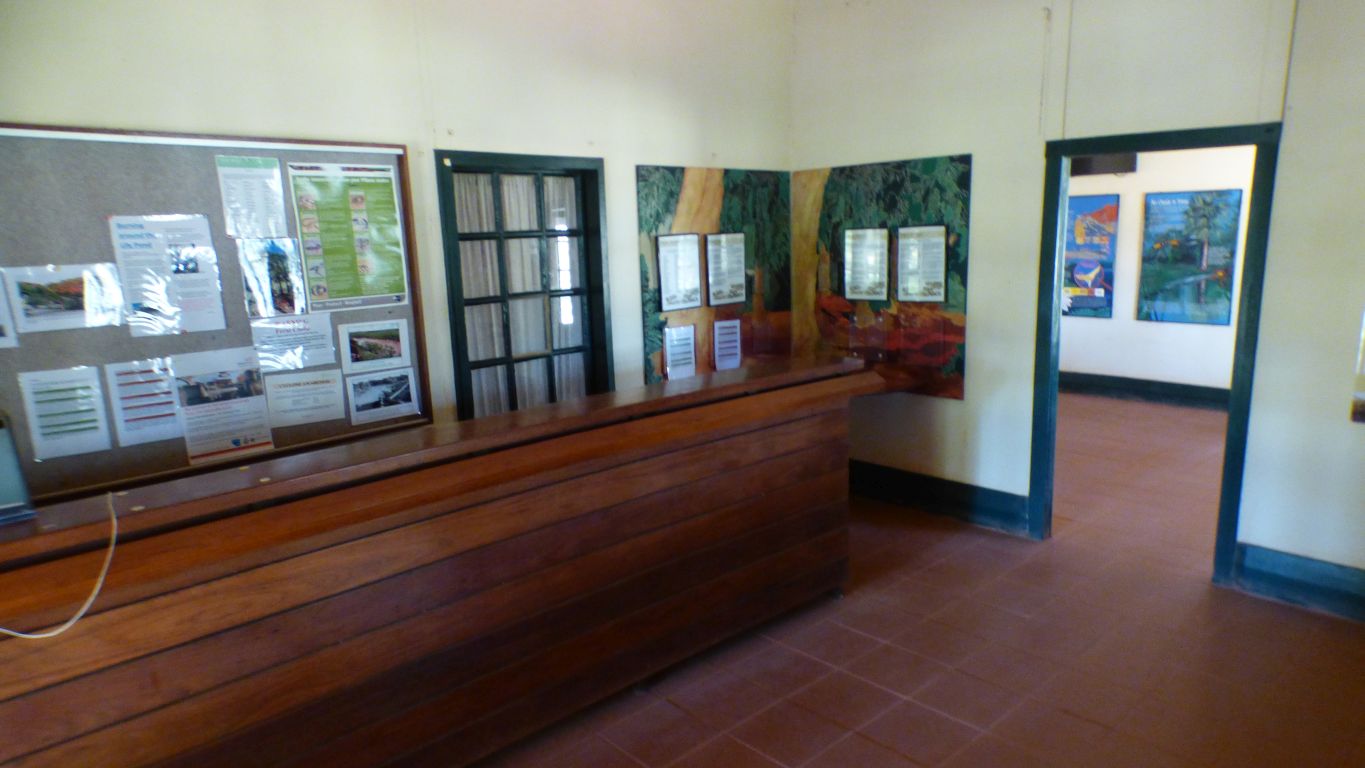
Entry through an outside french window.
I drank a beer here in 1978.
I can't remember what beer but I can recall the old chap who had moved to WA from the outback of NSW as that was getting a bit crowded.
Millstream has changed a bit.
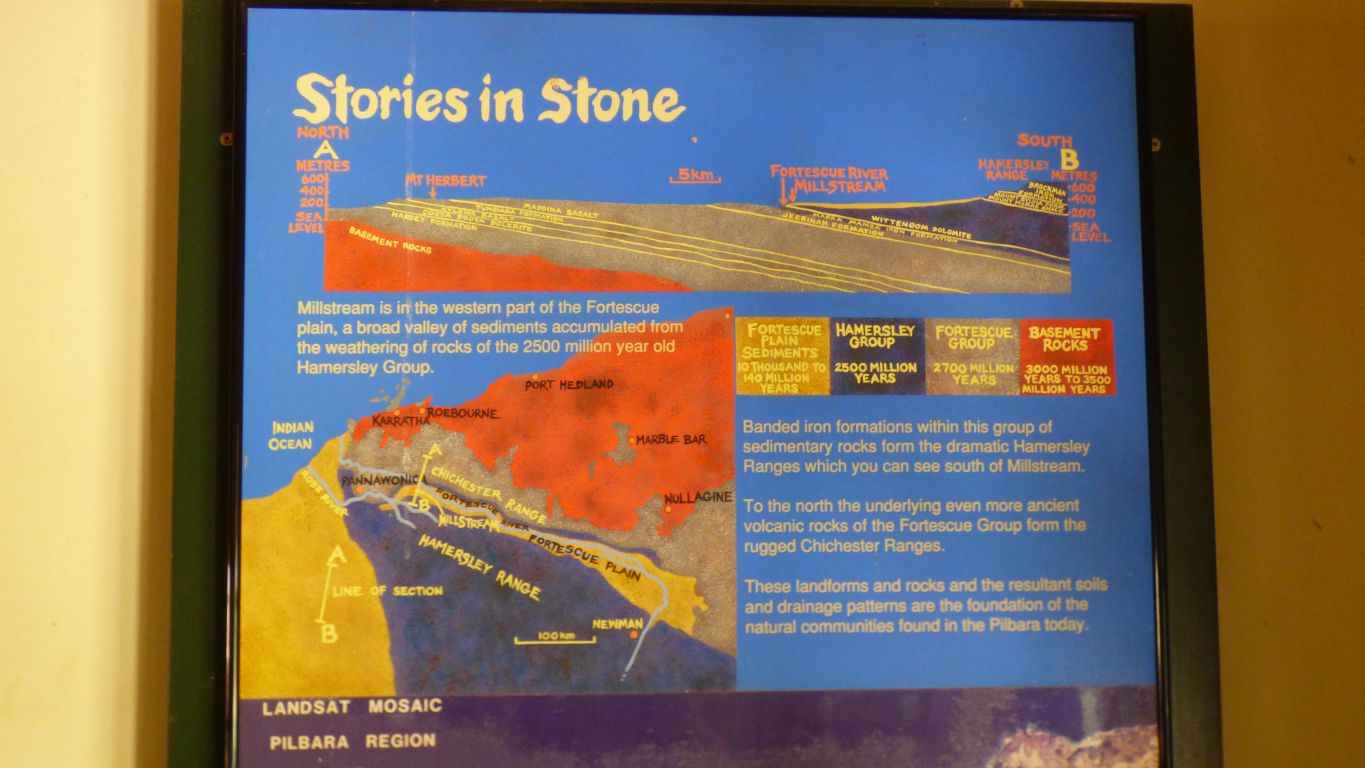
The Fortescue flows between the Hamersley Range and the Chichester Range.
We first encountered the river at the eastern edge of the plain, which is labelled on our maps as Fortescue Marshes, as we travelled south to Newman. The river rises south of Newman.
A thin band of rock on the north side of the river belongs to the Hamersley Group (of rocks), then the Chichester Group further north.
We realised the Hamersley Range is old. We are looking forward to meeting the even older Chichester and basement rocks.
The story in this picture is magic for us. Yes, it was probably dolomite we saw on the track and river bed.
Not that we planned it this way but it seems we have followed the Fortescue in a similar way to when we followed the Snowy from source to sea. Though not as closely and we probably won't see the mouth of the Fortescue.
A bit of a plod along the road for a couple of km back to the campsite to complete a 12.4km circuit. Much longer than the quick trip to the cliff top and back I planned.