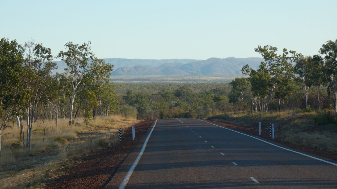
We are on our way to the Bungles.
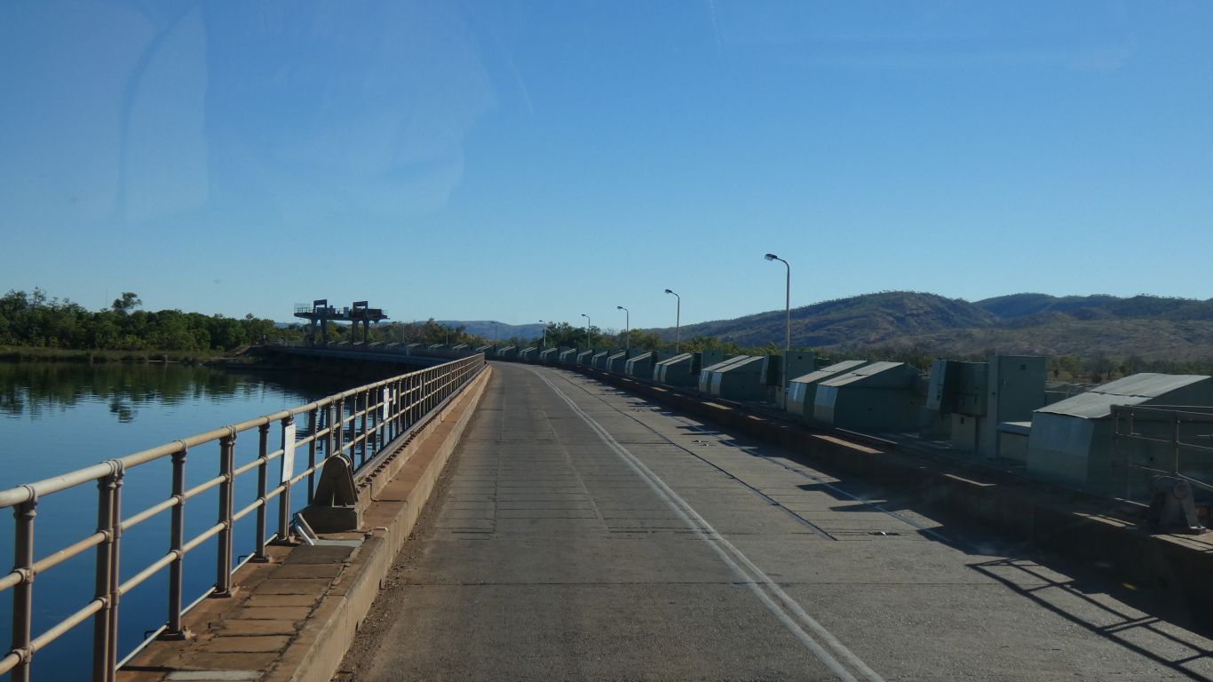
We cross the Ord River at what looks to us like control gates for Lake Argyle.
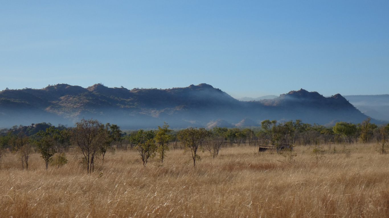
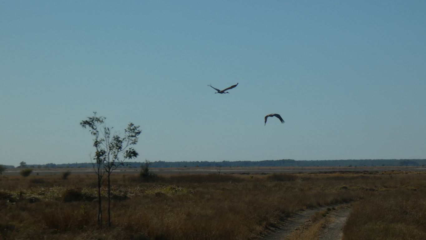
There's smoke in the air from burning off.
We hope it doesn't reach as far as the Bungles. About 80 km to the turnoff.
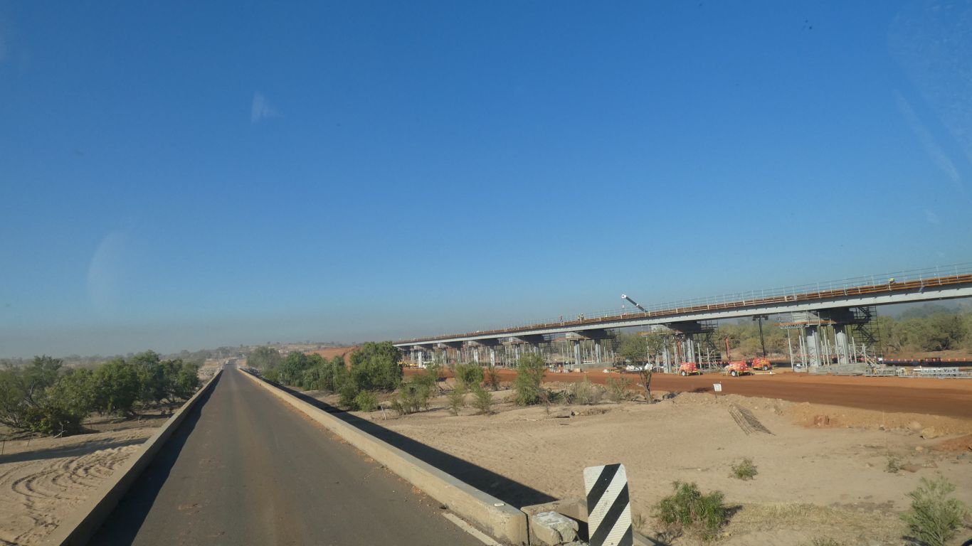
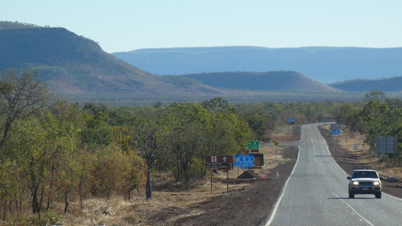
The old one is single lane.
The road is good south of here, but not as good as the upgraded road north.
Some reports suggested we would need low range 4wd. Others mentioned 50 creek crossings. Some said it would take 2 1/2 hours. A few mentioned oncoming traffic on a single lane track with lots of corners.
Its now August. Long since the end of the wet season.
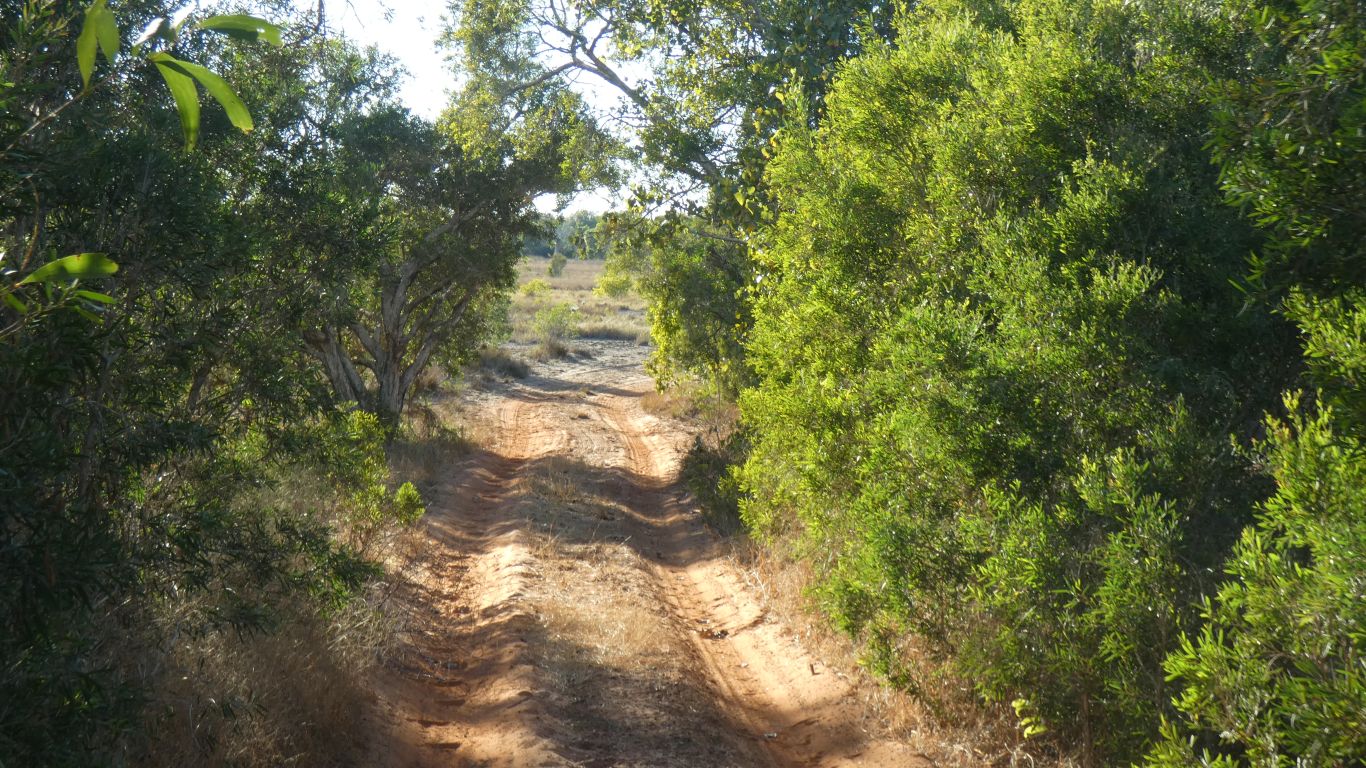
We drove along a road. Two vehicles wide. Very heavy corrugations for the first 20 km, after that light to no corrugations. Just a bit twisty and mildly rough surface. The creek crossings were all dry, except one, and graded. Like a dip in any road. No difficult entries or exits. The one wet creek crossing was about 150 mm deep with a stone bottom. Traffic was reasonable, and no tour buses.
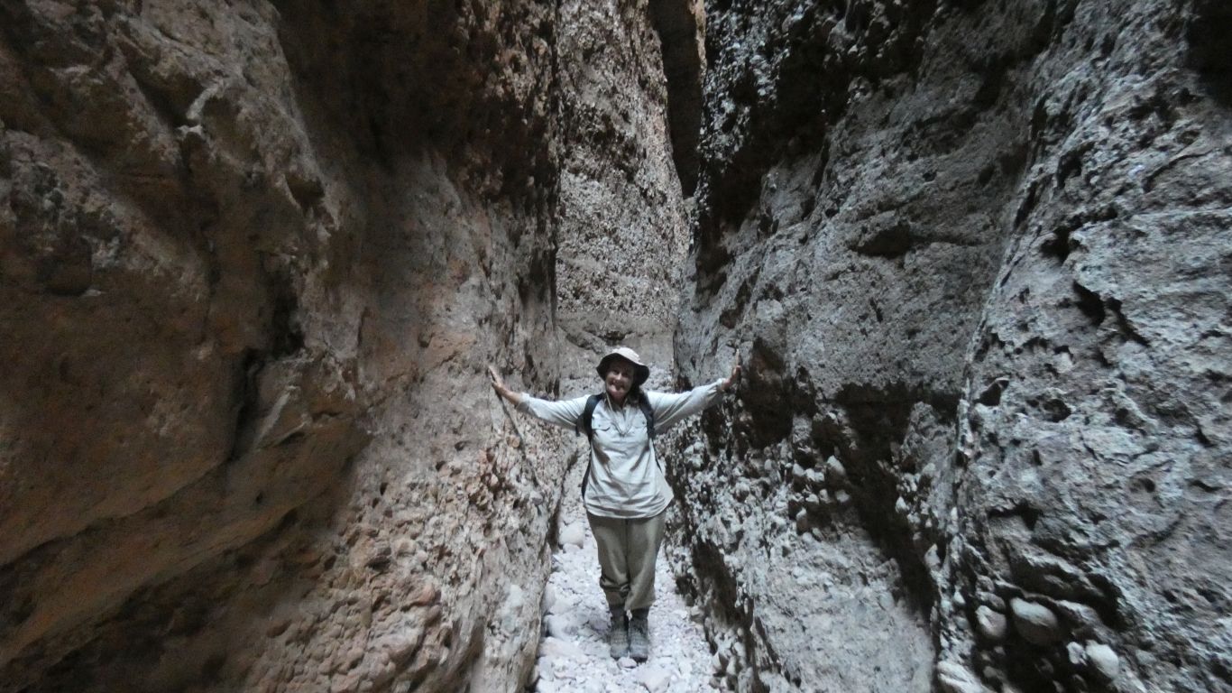
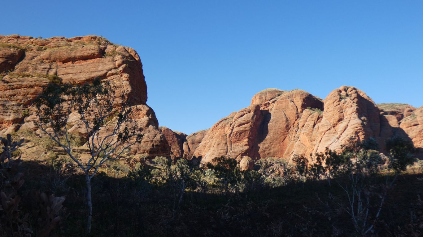
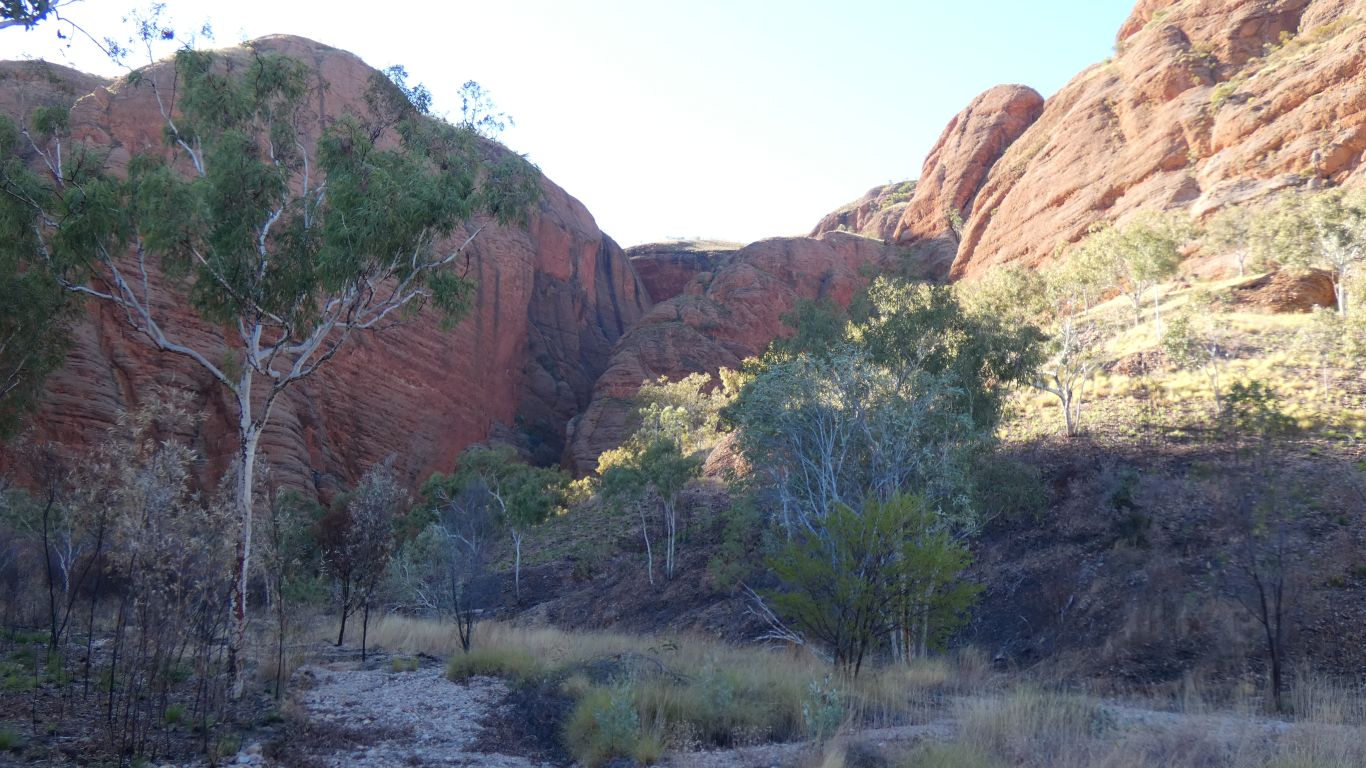
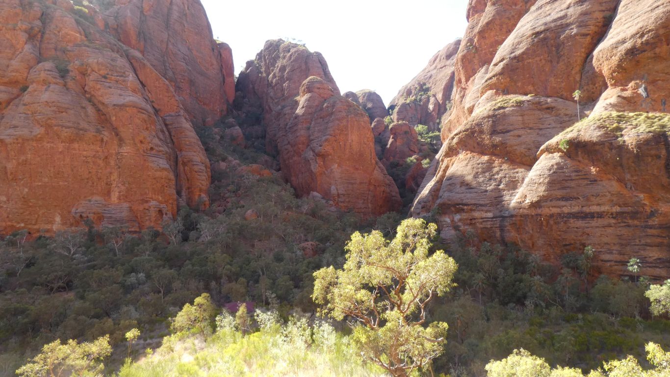
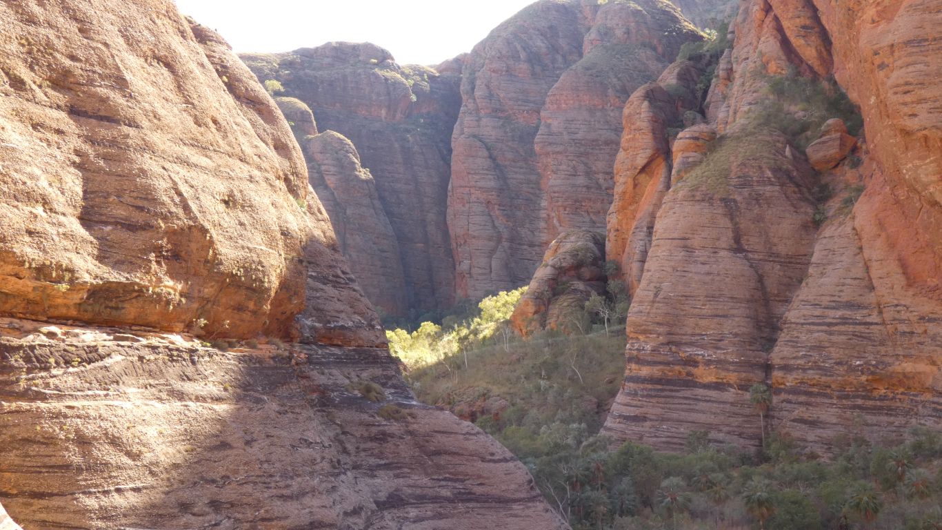
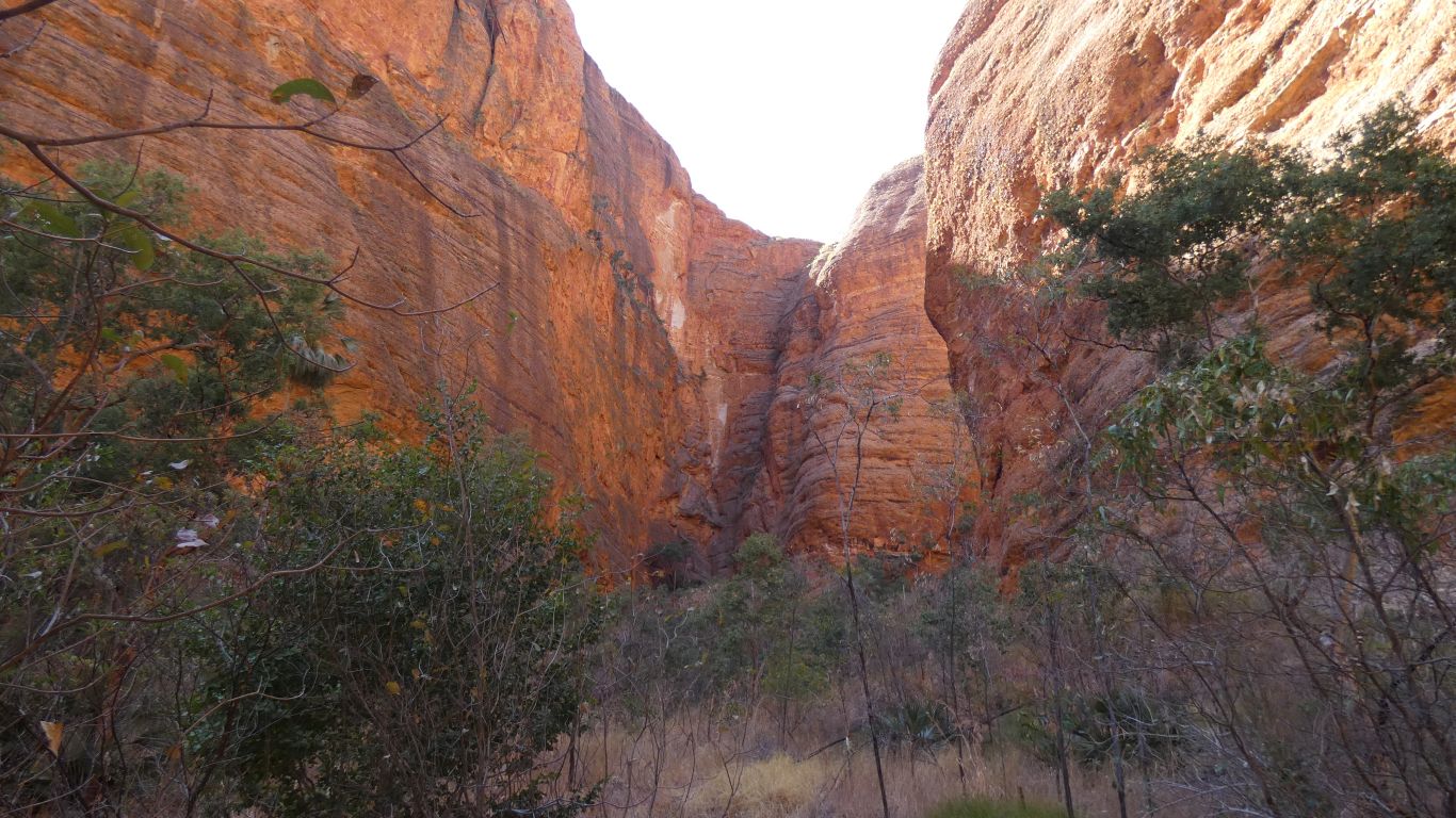
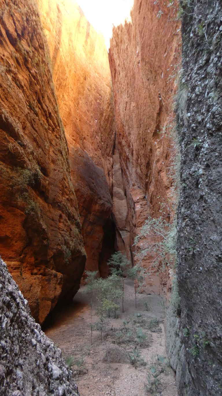
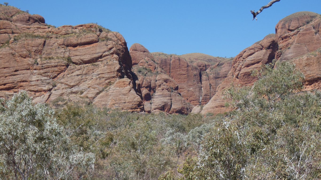
Late afternoon we drove to Echidna Gorge.
If I had a bucket list the Bungles would be on it. For no other reason than we had to drive past in 1978. We knew it was here somewhere but couldn't really find good directions and most seemed to consider it inaccessible for our 2-speed automatic Holden Kingswood.
The mysterious Bungles has occupied a corner of my mind for 40 years. Wondering if I'll ever see them. And now here I am.
In the intervening years the area has become a national park (1987) and a world heritage area. There's a tourist company camp and helicopter flights. There are iconic marketing images.
We won't see a Bungle for a couple of days. The Domes are in the south of the range, we are camped in the north. The origin of the name Bungle Bungle Range, or Bungles, or Purnululu is lost in the sands of time. We shall entertain ourselves by looking for a single Bungle ....... something so odd its obvious nature bungled its creation ..... and be satisfied we looked, while never finding the something that doesn't exist.
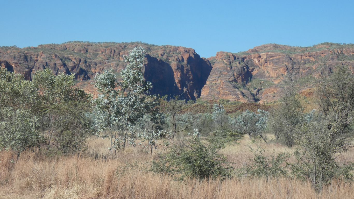
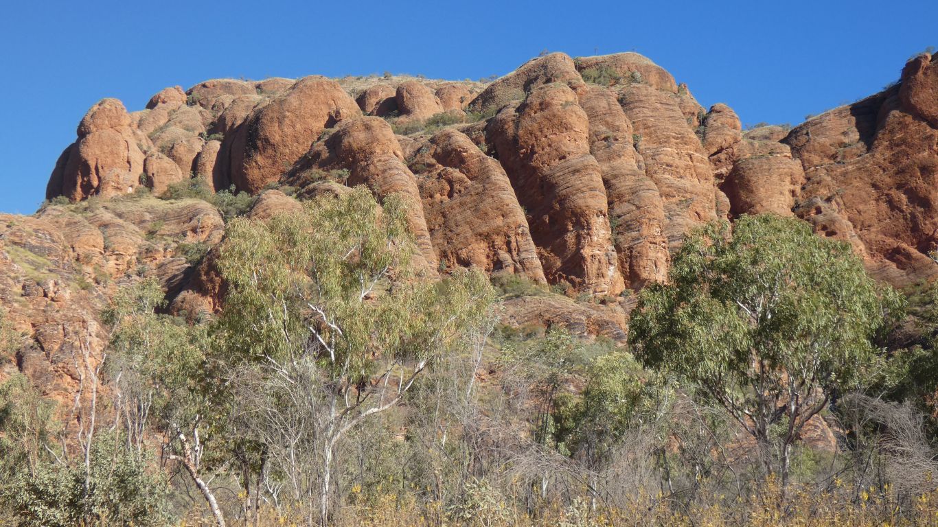
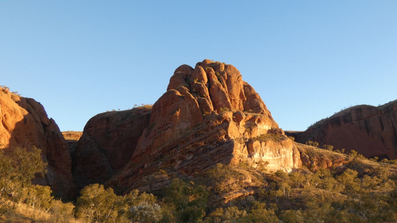
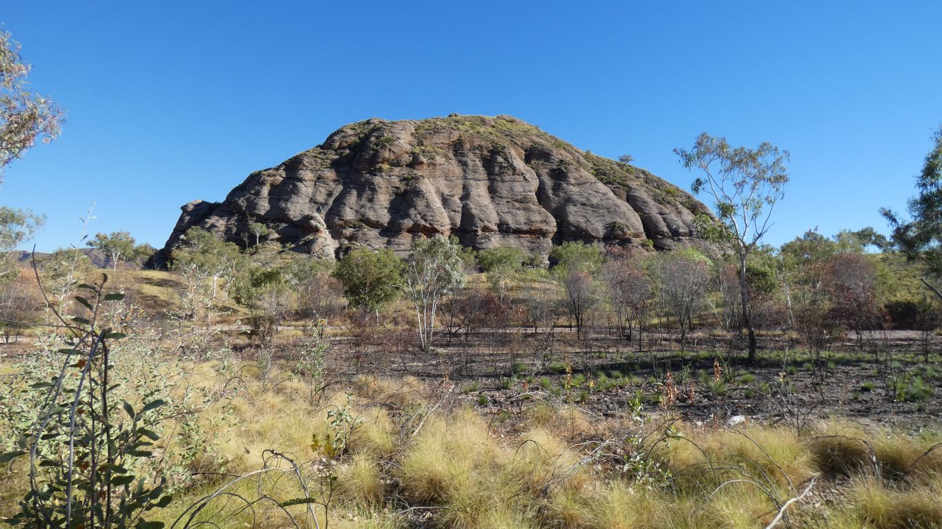
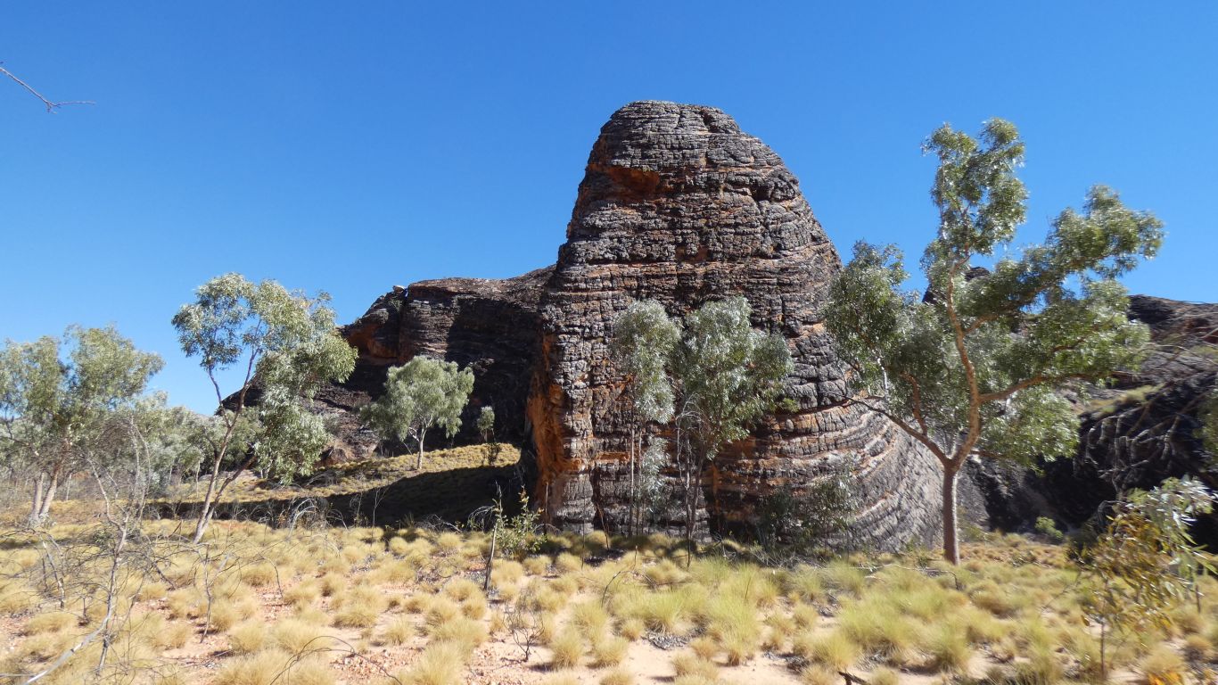
The Bungle Bungle Range is a big lump of conglomerate deposited in an old river bed.
Squashed (technical geological term) to form rock. Formed about 350 million years ago.
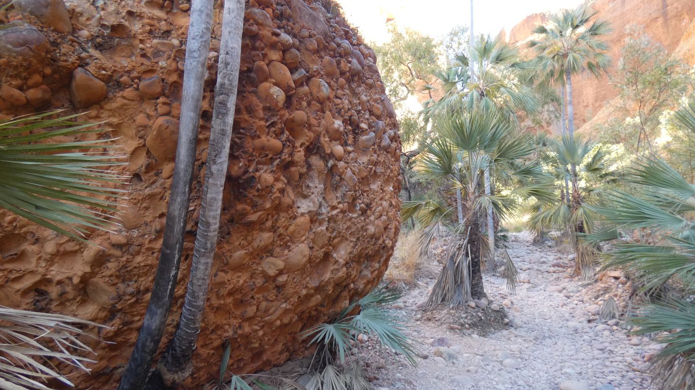
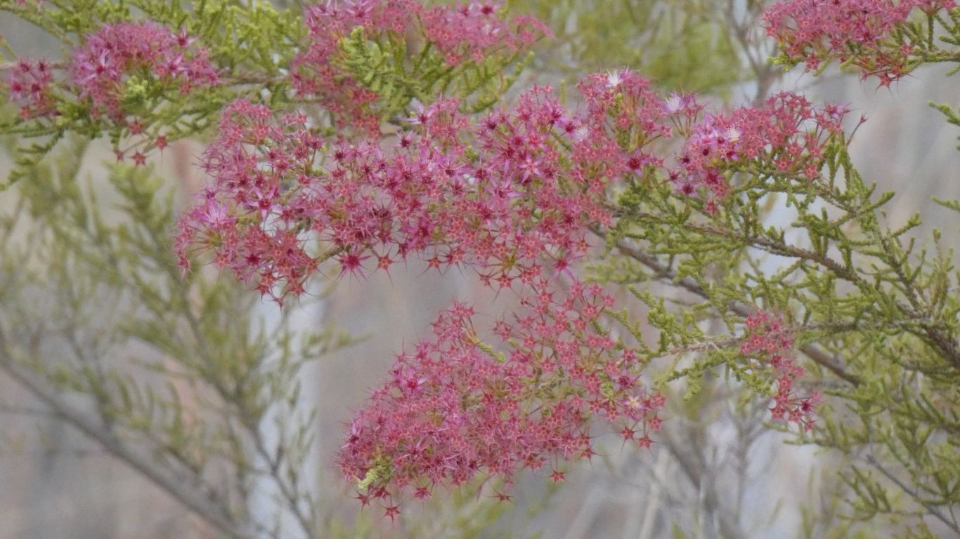
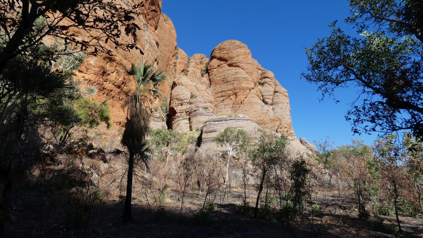
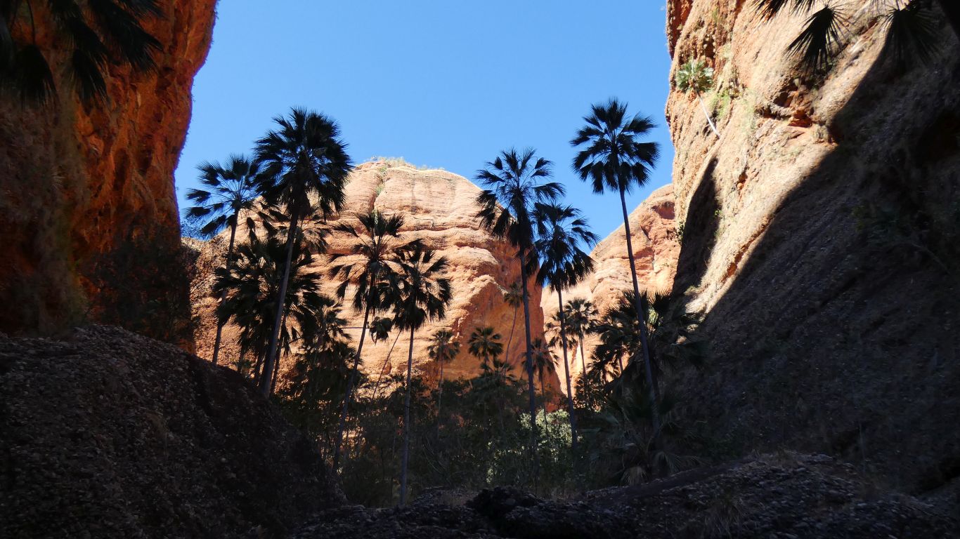
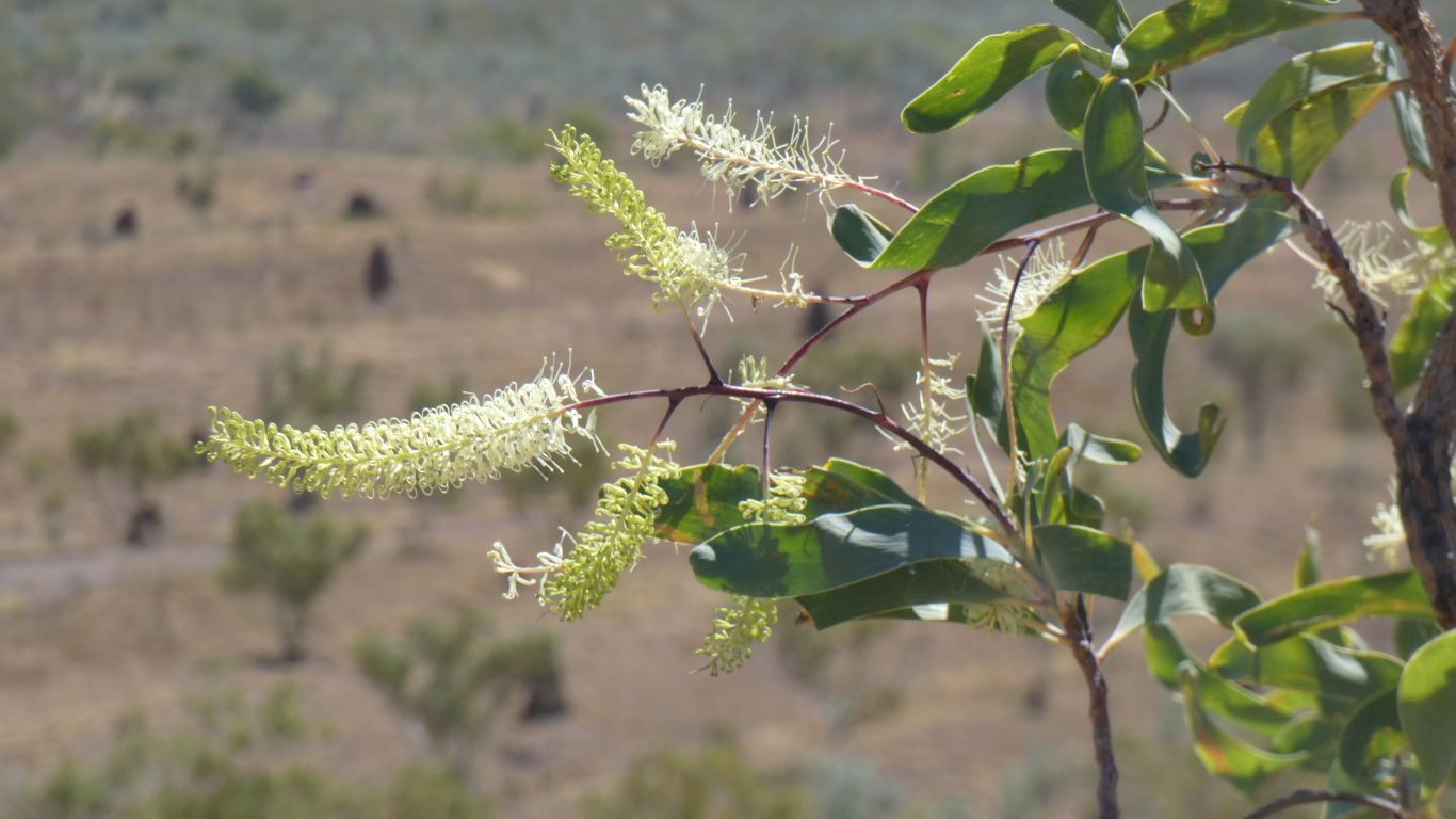
The palms are Livistona Palms.
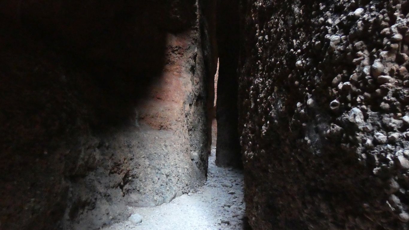
One can only wonder at the name (of the gorge). An echidna attacked by a galah burrowed into the rock to take refuge, leaving quills (palms).
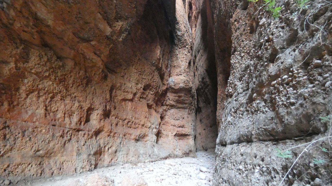
Apparently the "best" time is 11:30 when the sun is overhead and lights up the gorge and turns the walls shades of orange.
Intuitively, we think the "best" time is the time we are there, with only a few passers by, and the evening light filtering through.
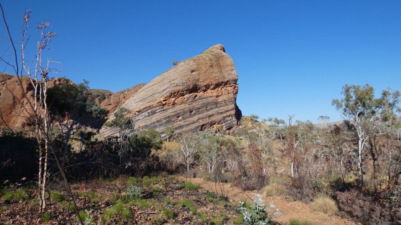
Sandstone on top of volcanic rock.
Which provides permanent surface water from springs, unlike the Bungles where the water runs away soon after the end of the wet season.
As any good geomorphologist will tell us, the vegetation is different on that side of the creek. Even monsoonal rainforest.
A similar height to the Bungles, around 500 - 600m above sea level. The valley floor is around 250m.

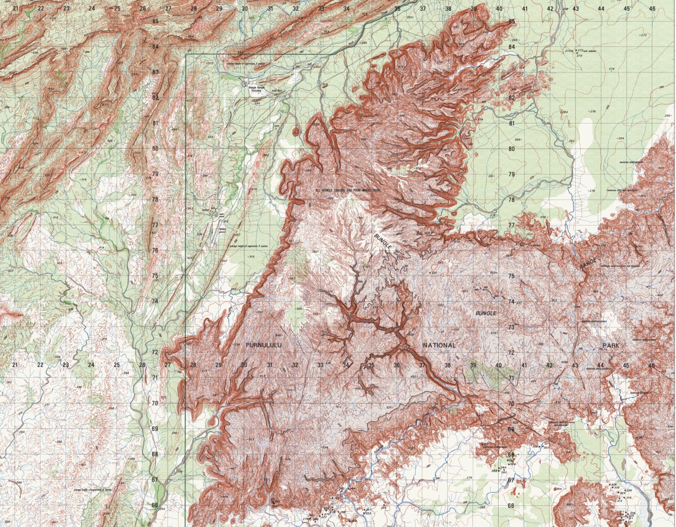
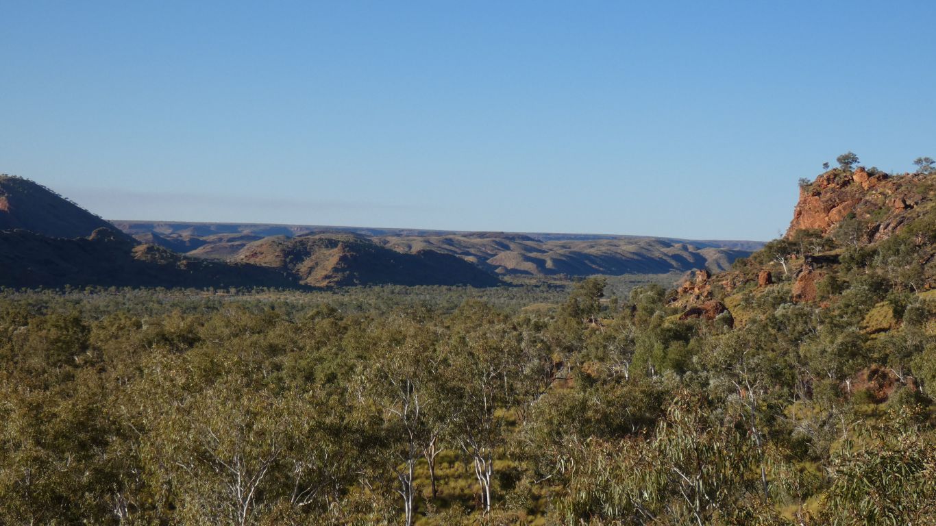
The Osmand Range angles to the north of the Bungles (just the tip showing on the map). Red Rock Creek flowing north east between the two.
When we've exhausted the gorges in the northern part we'll have a look at the south.
Hopefully we will walk into the very long gorge system in the centre of the map.
A walk into Homestead Valley ..... which doesn't have a homestead, probably never did, but apparently has an (inaccessible) rock art picture of one.
We are walking for a bit in shadow. Cool.
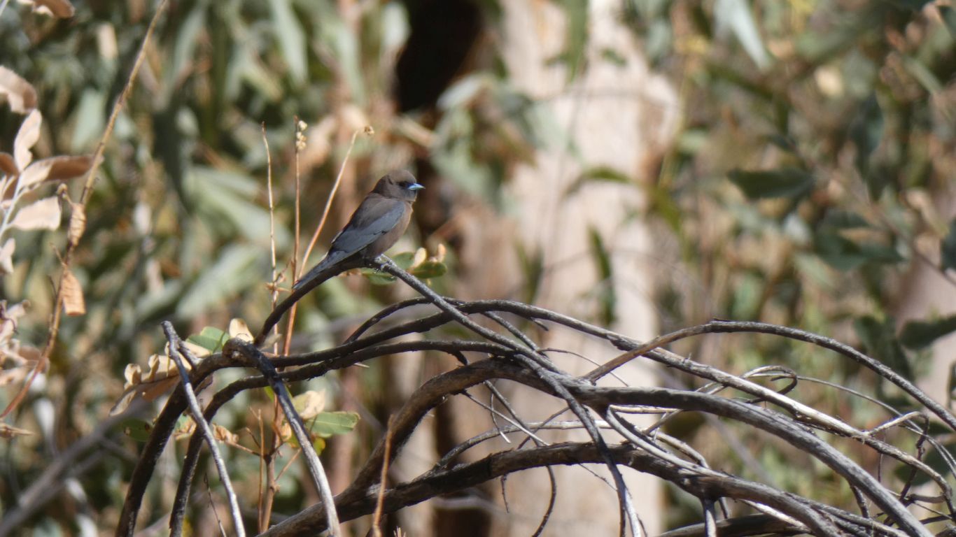
We've seen these elsewhere, but had forgotten. All we could recall was a conversation about a blue beak.
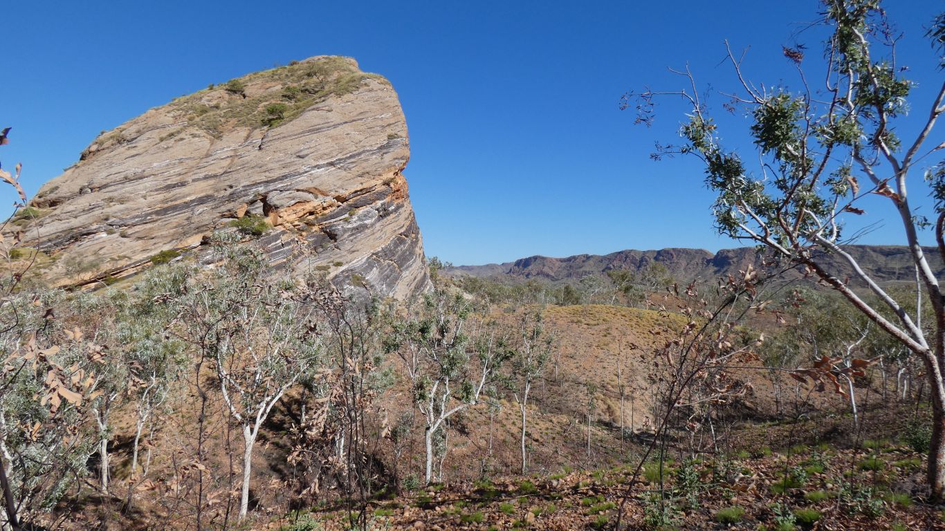
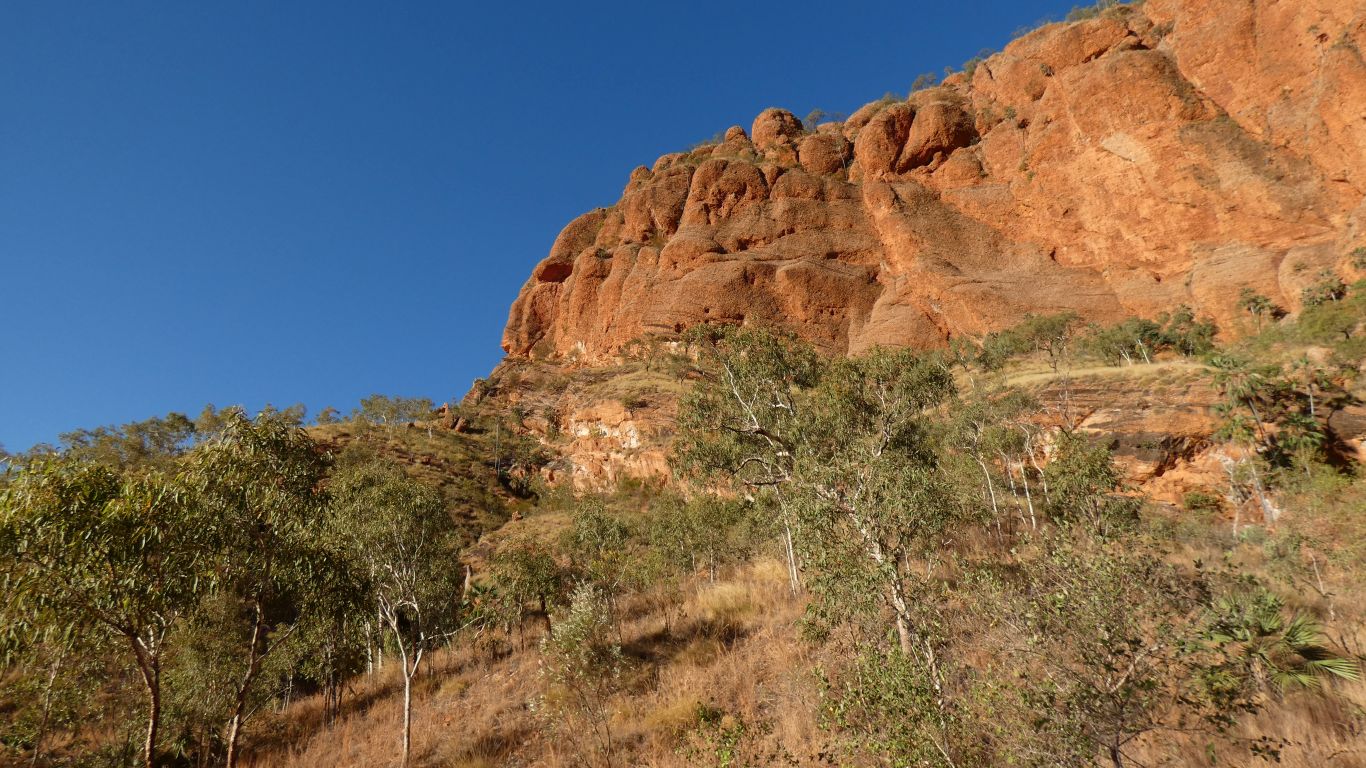
In the background is Osmand Range.
We are walking around to Mini Palms Gorge.
The trees are bloodwoods.
The morning sun is beginning to provide a bit of colour.
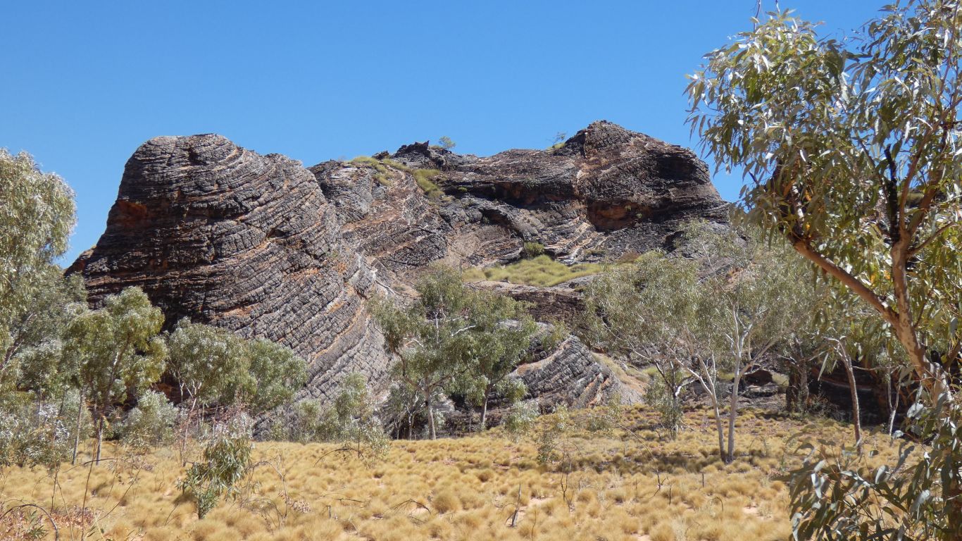
The Bungles were formed in the bottom of a river valley, and later uplifted by geological activity. Then eroded.
For a while I wondered where the high mountains that had provided the sediment for the Bungles were.
But low mountains and lower Bungles explains.
Most of the sediment came from the Osmand Range.
Looking south west with the Osmand Range in the background.
From the office and a chat to a passing Ranger we are reasonably confident we know where there is water in the gorges.
On the way back another lookout.
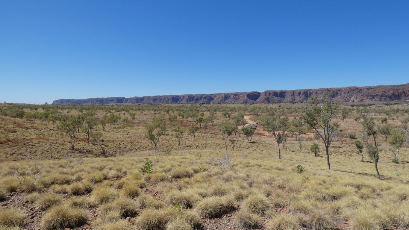
The north west escarpment of the Bungles.
Up to 1967, when the area was destocked, the valley was somewhat over stocked and over grazed, resulting in dust and a lack of trees. Which our Ranger tells us explains why most of the trees are all the same height. De-stocking was part of stabilising the land as all of the creeks run into the Ord River, and thus Lake Argyle.
Last night there was a cow around the truck. It made a bit of noise as it moved away when I opened the door. Eyes reflected the torch from about 20m. We didn't see the dingo.
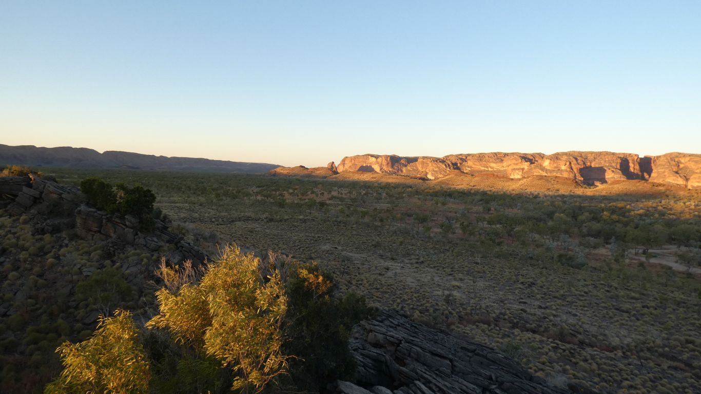
This pic taken from the limestone ridge as the sun sets behind it, there's a nice lookout. Looking northwards along the course of Red Rock Creek, the Bungles highlighted, the Osmand Range to the far left, and an outcrop of the limestone ridge in the foreground. The Bloodwoods and Echidna Gorge are "just around the corner".
The limestone is Cambrian (520 million years ago). Older than the Devonian reef we saw further north and west, at Geikie Gorge and Ningbing Range. If we have time we'll look for fossils. Trilobites here rather than fish, which evolved later.
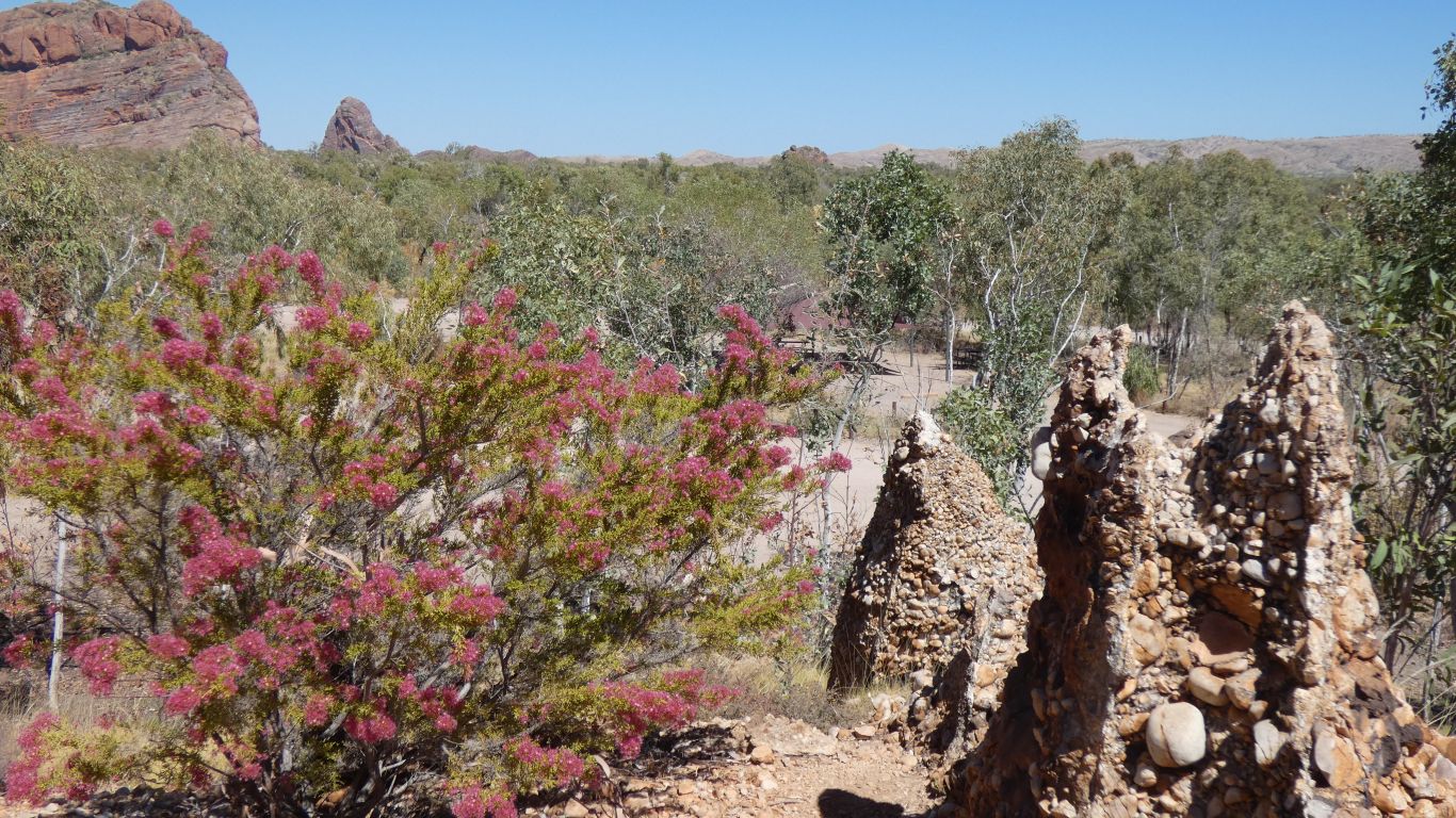
Someone has done a lot of good work on this short trail. Lots of signs describing the plants.
The Stonehenge track (off the road north towards the Bloodwoods and Echidna Gorge) is near the creek and describes vegetation from the perspective of how a hunter-gatherer would make use of each plant.
The Kurrajong Trail has general botanical descriptions and explanations. Plus a "geomorphological", see the wood for the trees, description of various vegetation communities resulting from soil type and water availability.
Two, complementary, views of the same world. Both incomplete.