
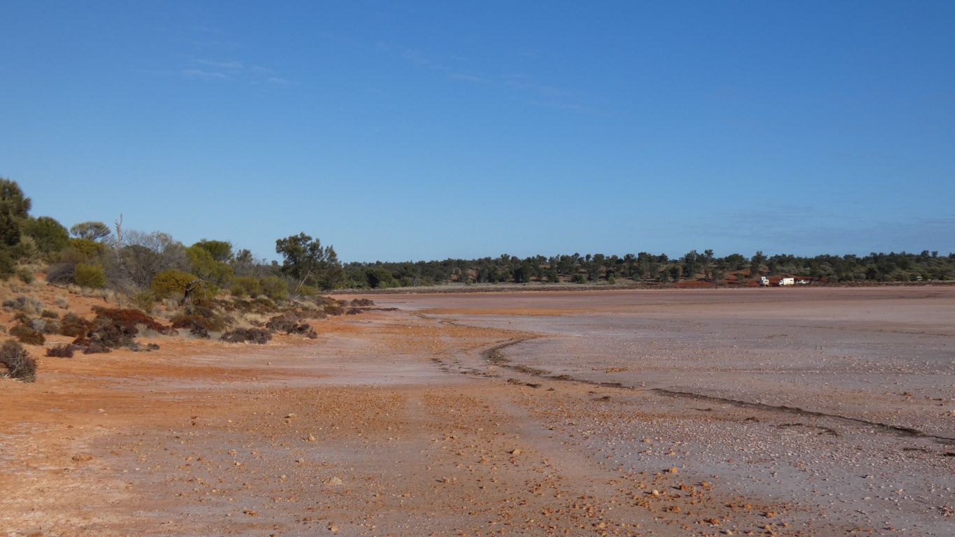
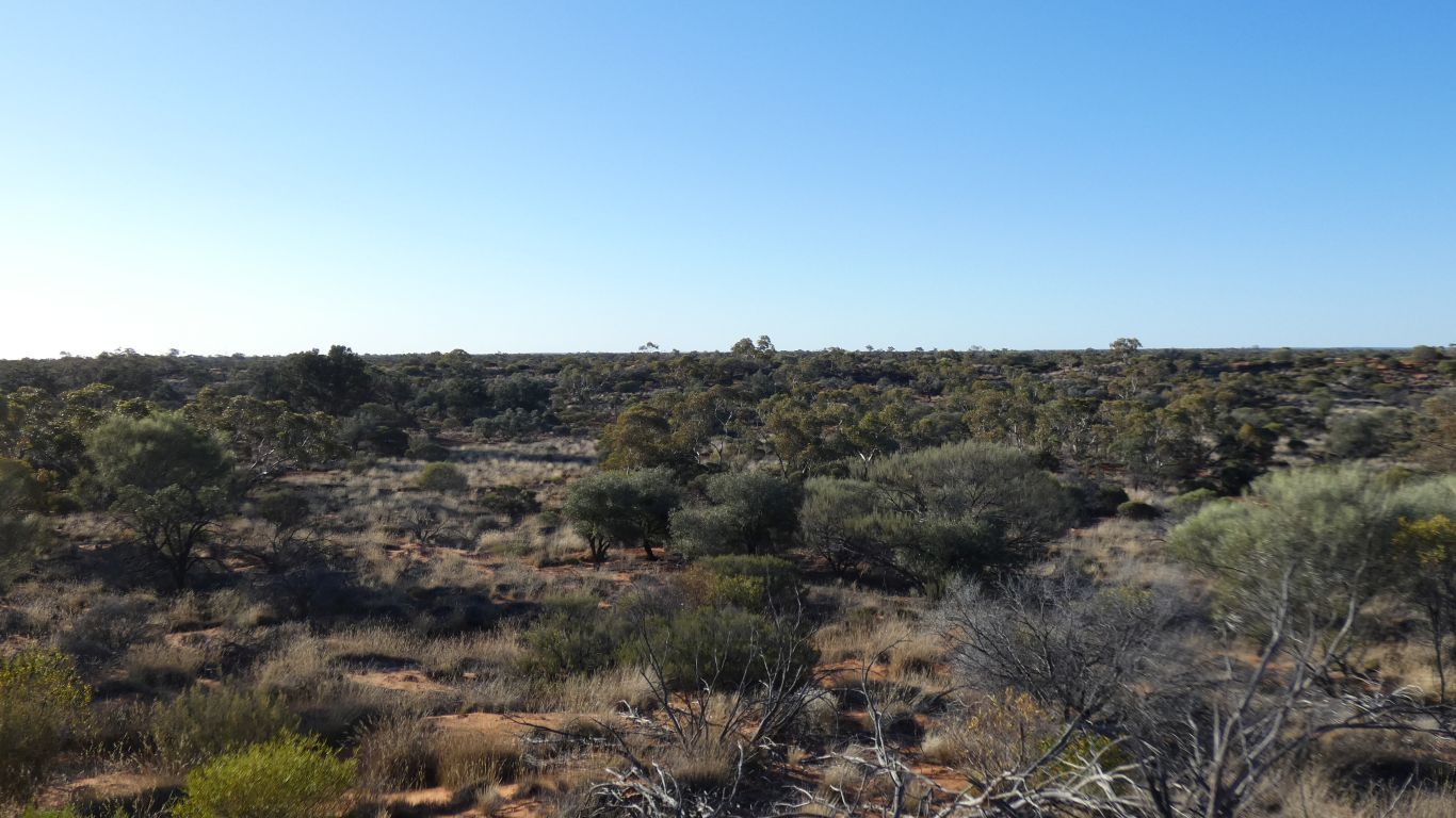
Wyola Lake is a collection of lakes with no creeks or rivers shown flowing in or out.
The small lake we are camped on is a couple of km long. The collection of lakes covers 20 km.
About the same latitude as Lake Maurice to the east and Nurrari Lakes to the west.
Further west, inside Mamnugari Conservation Park, is Serpentine Lakes which are a long interconnected north south string. More obviously a "palaeodrainage" flow to the south that dried long ago.
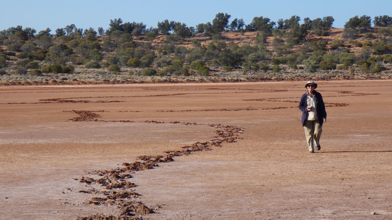
A line running across the lake, visible in the middle and each side.
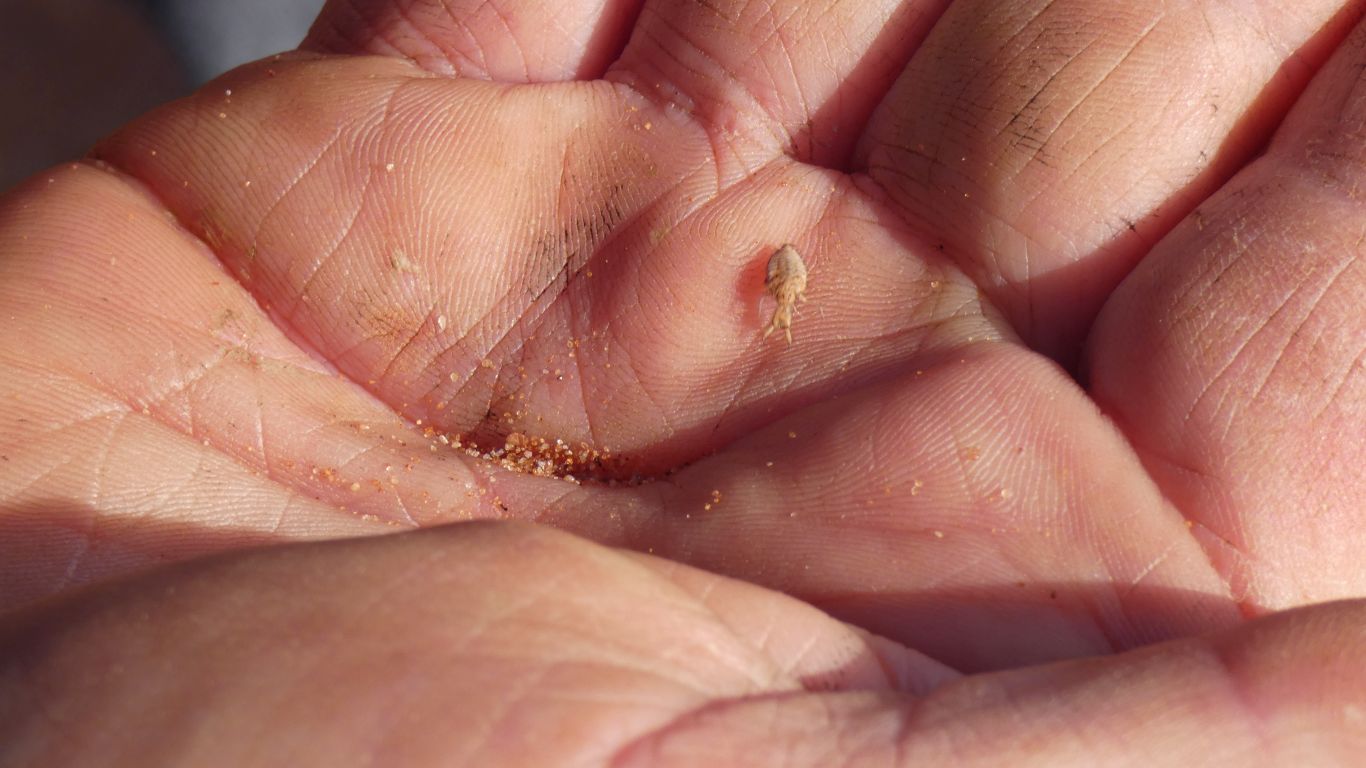
They live in those nice funnel shaped holes.
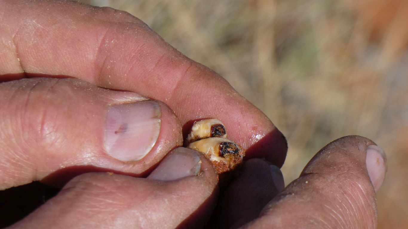
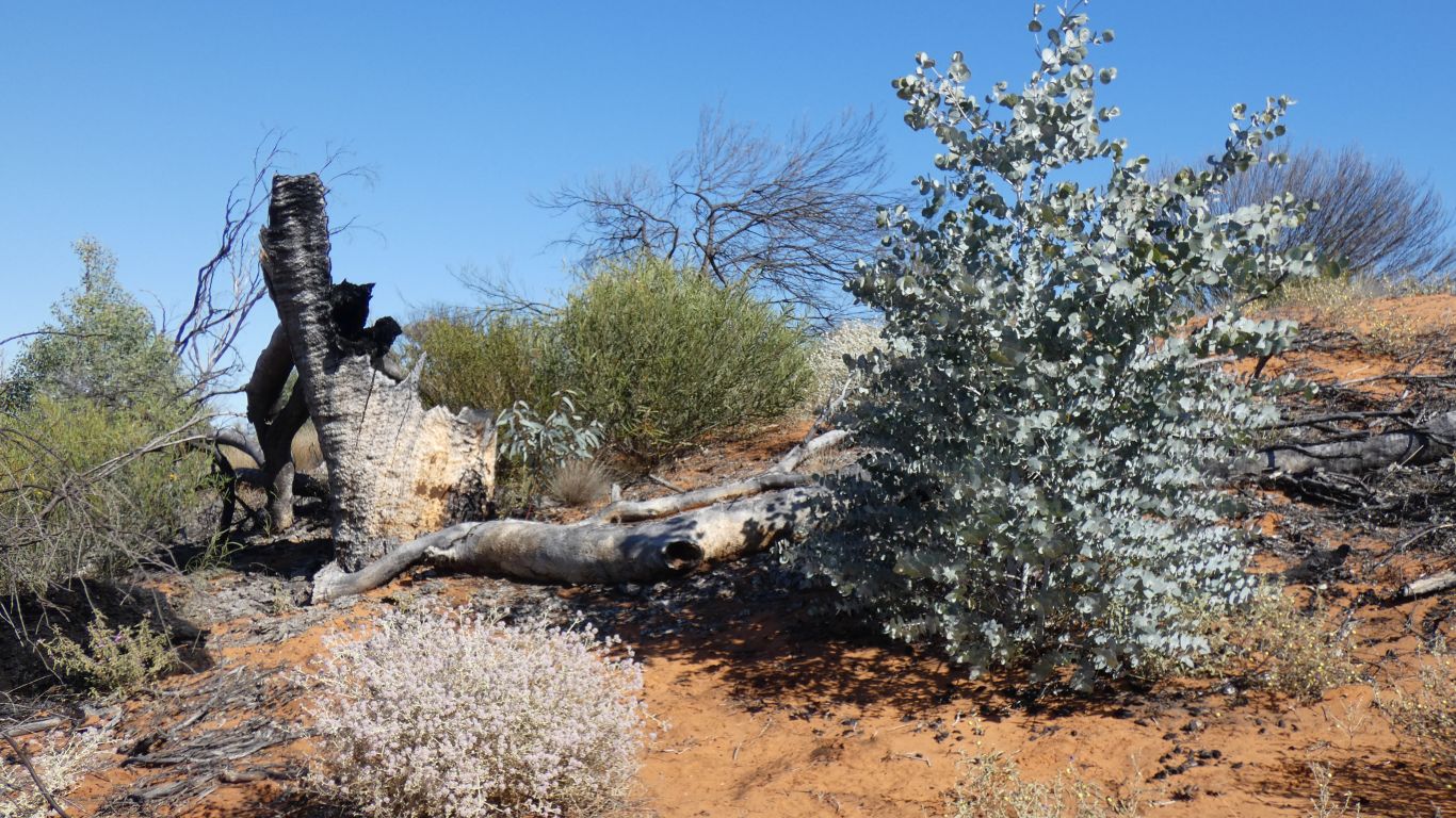
Part eaten by camels.
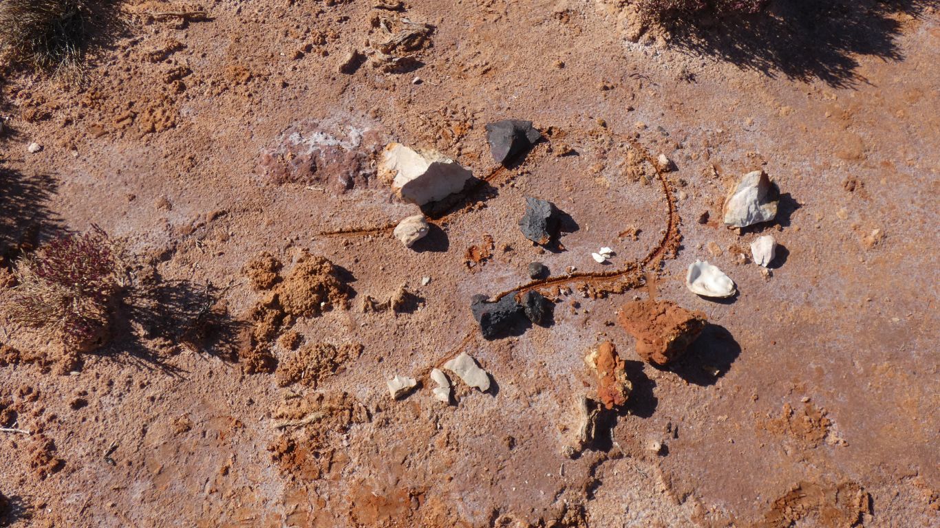
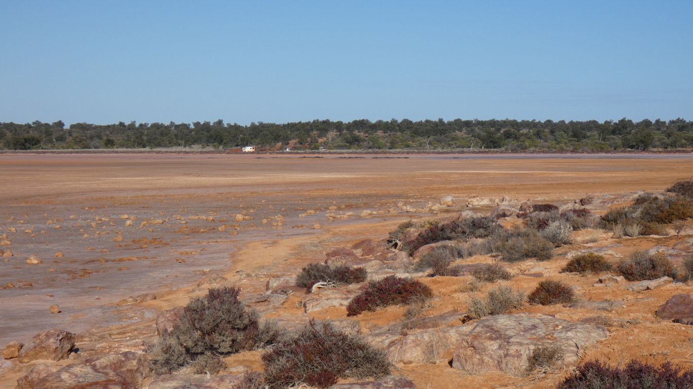
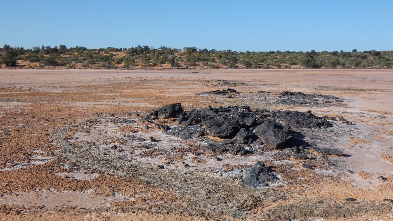
The rim we drove down is a sandstone. Quartzite around the edge and the band of black crystalline rock across the middle. The little island of rock we first saw was too hard to chip some off.
These are high up. Out of reach of consultants and camels.
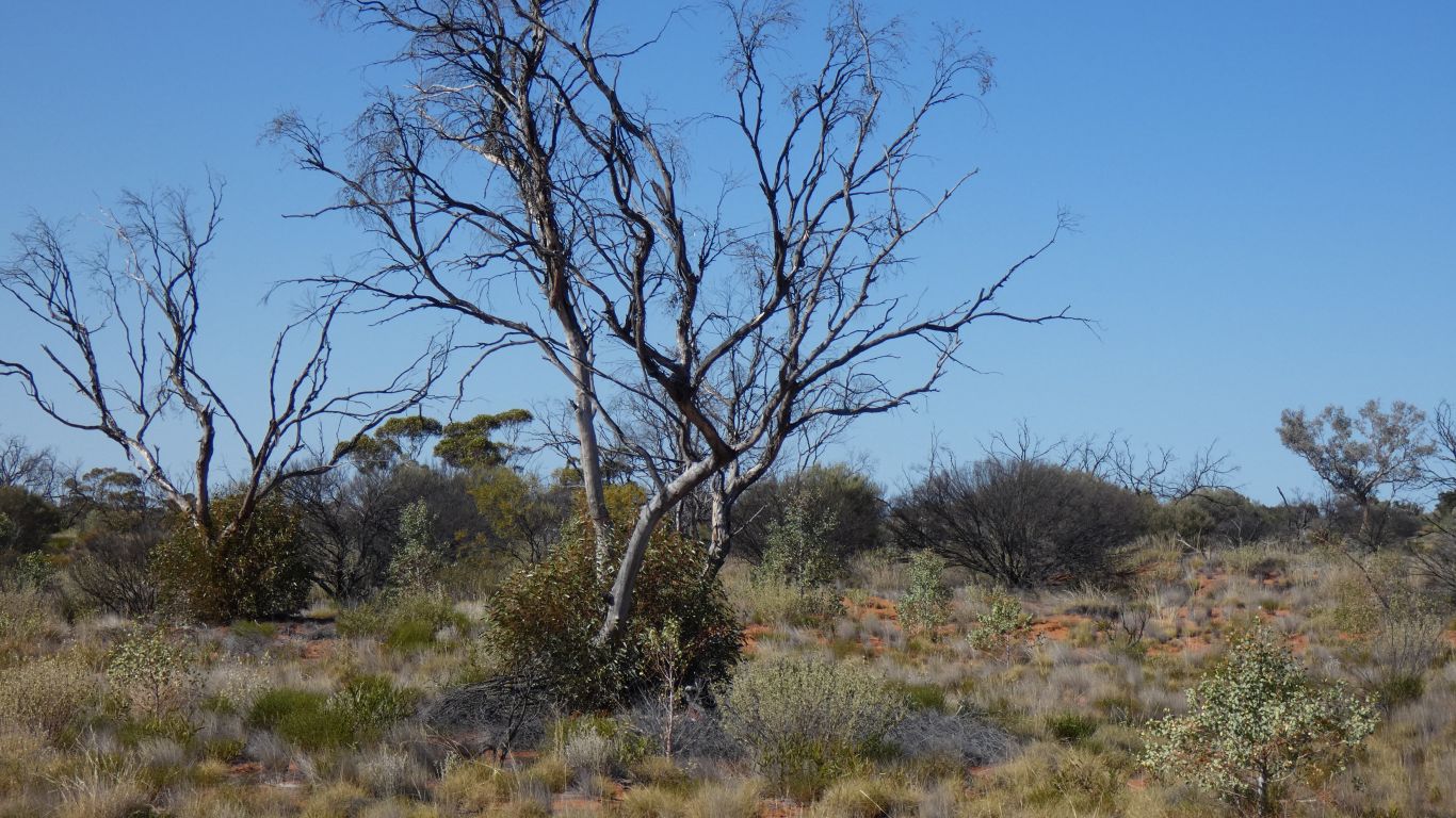
The low hanging fruit and growth tips have been grazed. Without growth tips the branches die.
Low down it looks as sad as the last plant.
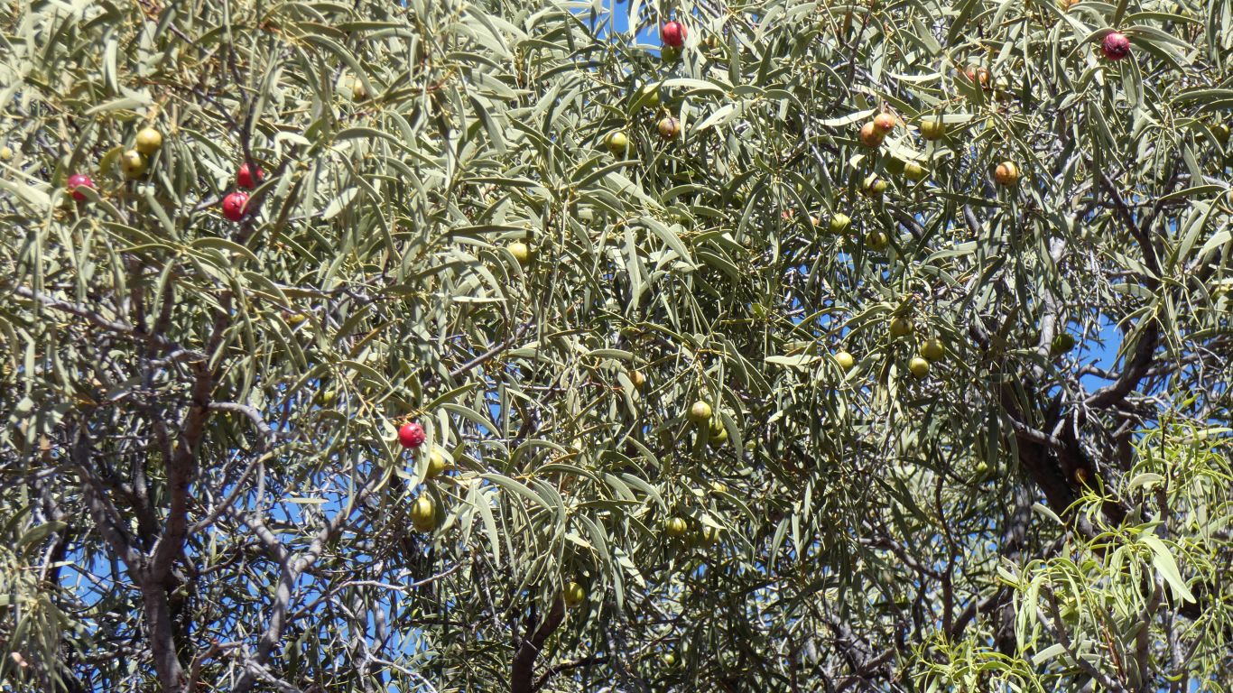
Propagation of Quandong fruit is apparently by Emu. Unfortunately we haven't seen any emus, nor their tracks.
Its been re-aligned to avoid native wells.
The centre is recognisably different, a circle of grass. A band of desert oaks is also recognisable. But beyond that the features on the ground are insufficient to draw any conclusions. A drone flight failed to provide any more significant information.
But it was fun.

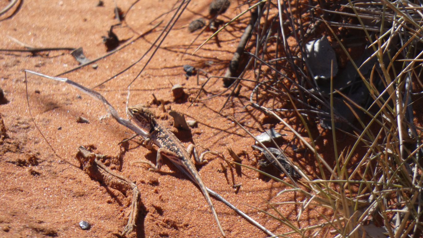
...... life is tough in the desert.
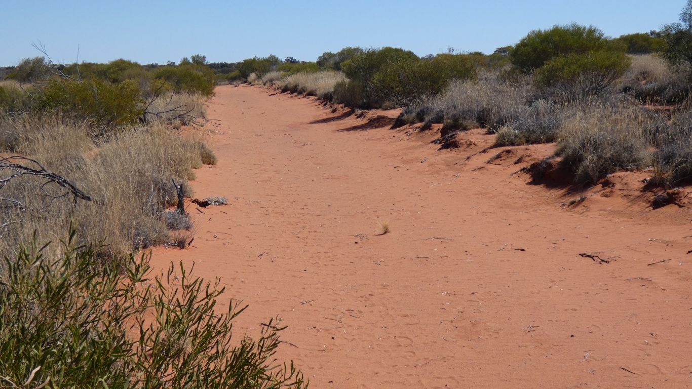
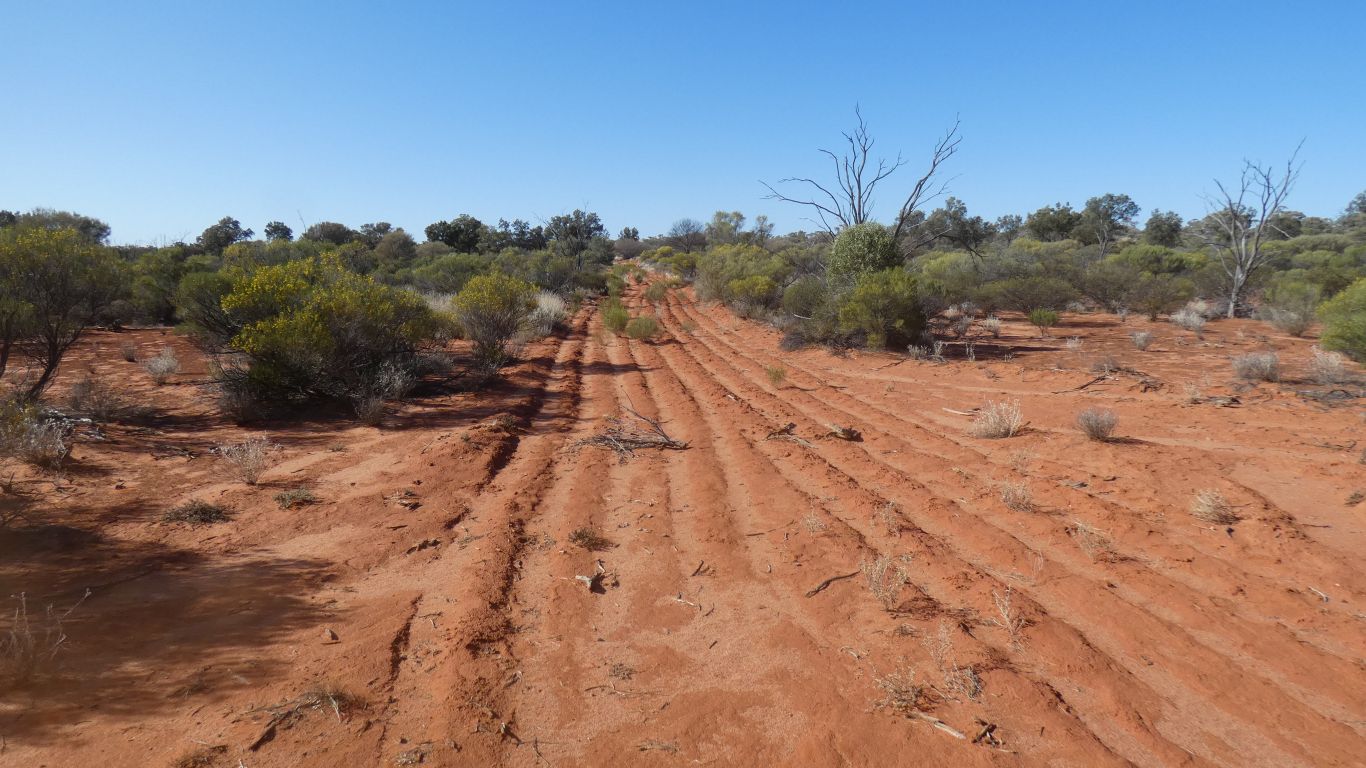
There are no tyre marks easily visible.
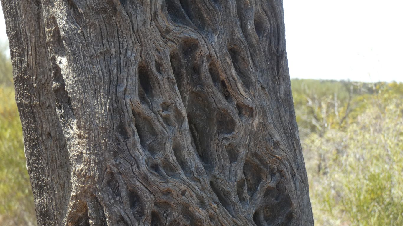
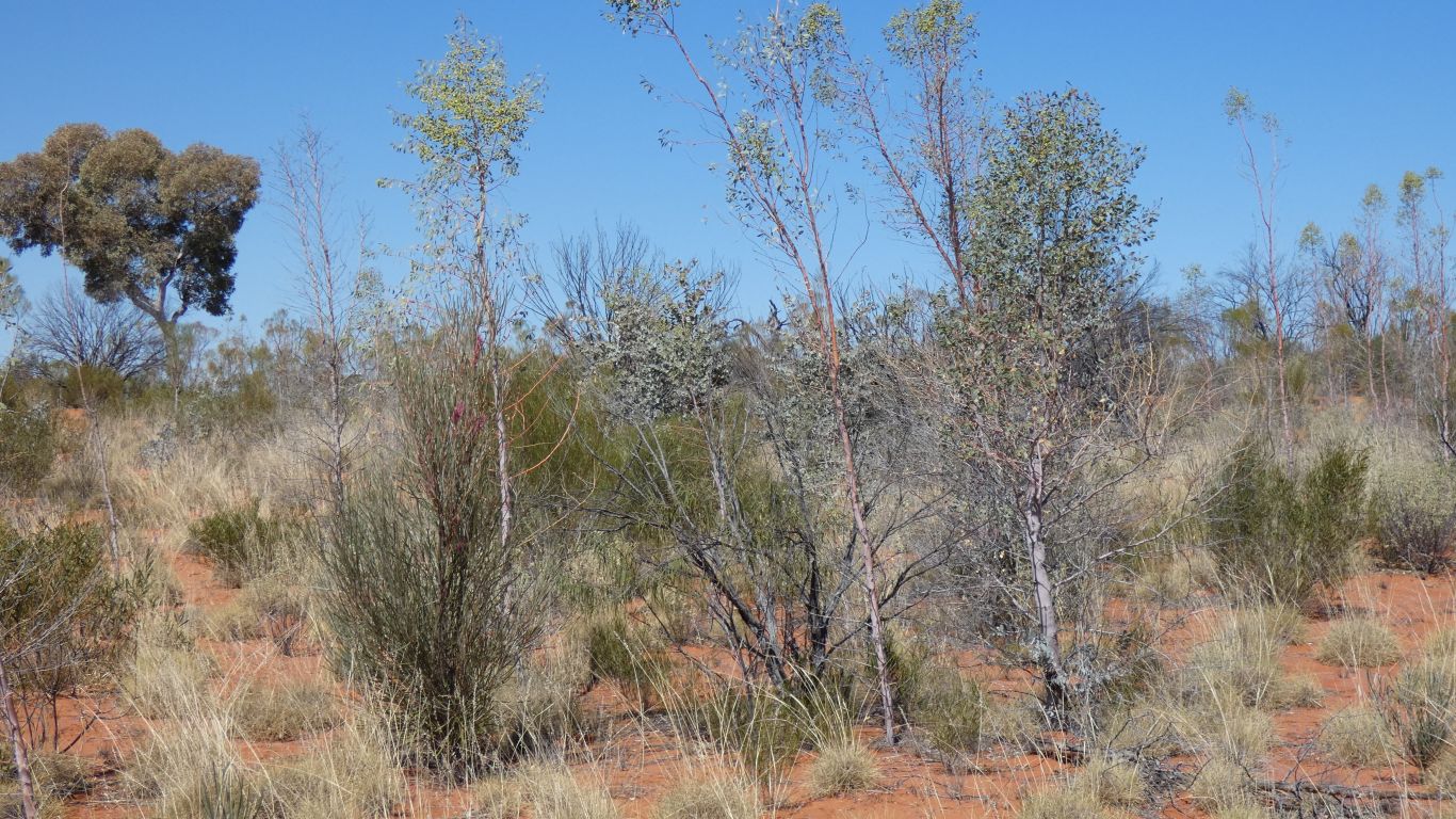
Marble Gums regenerate after fire either by germination of seedlings or basal epicormic growth.
Break off a desert poplar close to the ground and dig them out of the holes they bore.
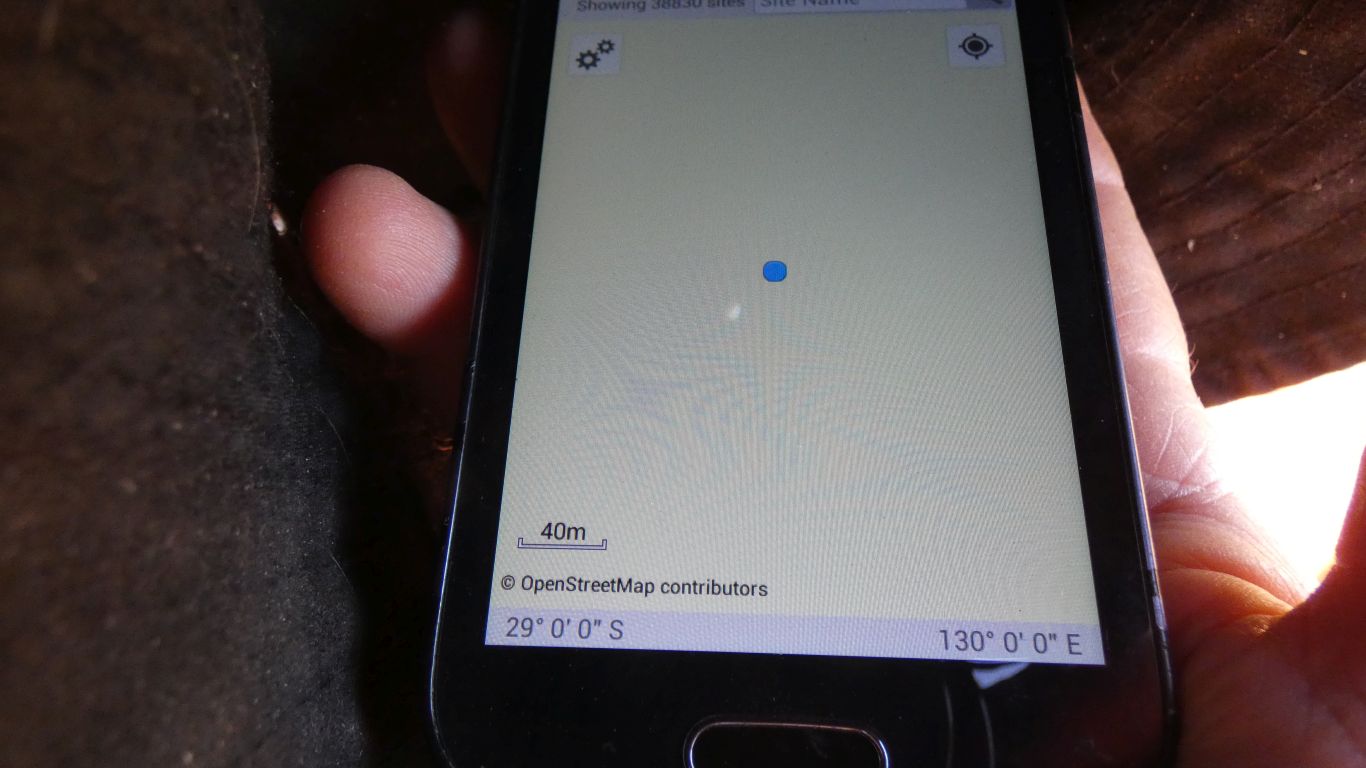
There is an american website that collects pictures from every degree confluence in the world.
We don't know if we are first to have visited this location. Peter and Margaret have been first to two others in Australia.
Our campsite is behind in a similar swale.
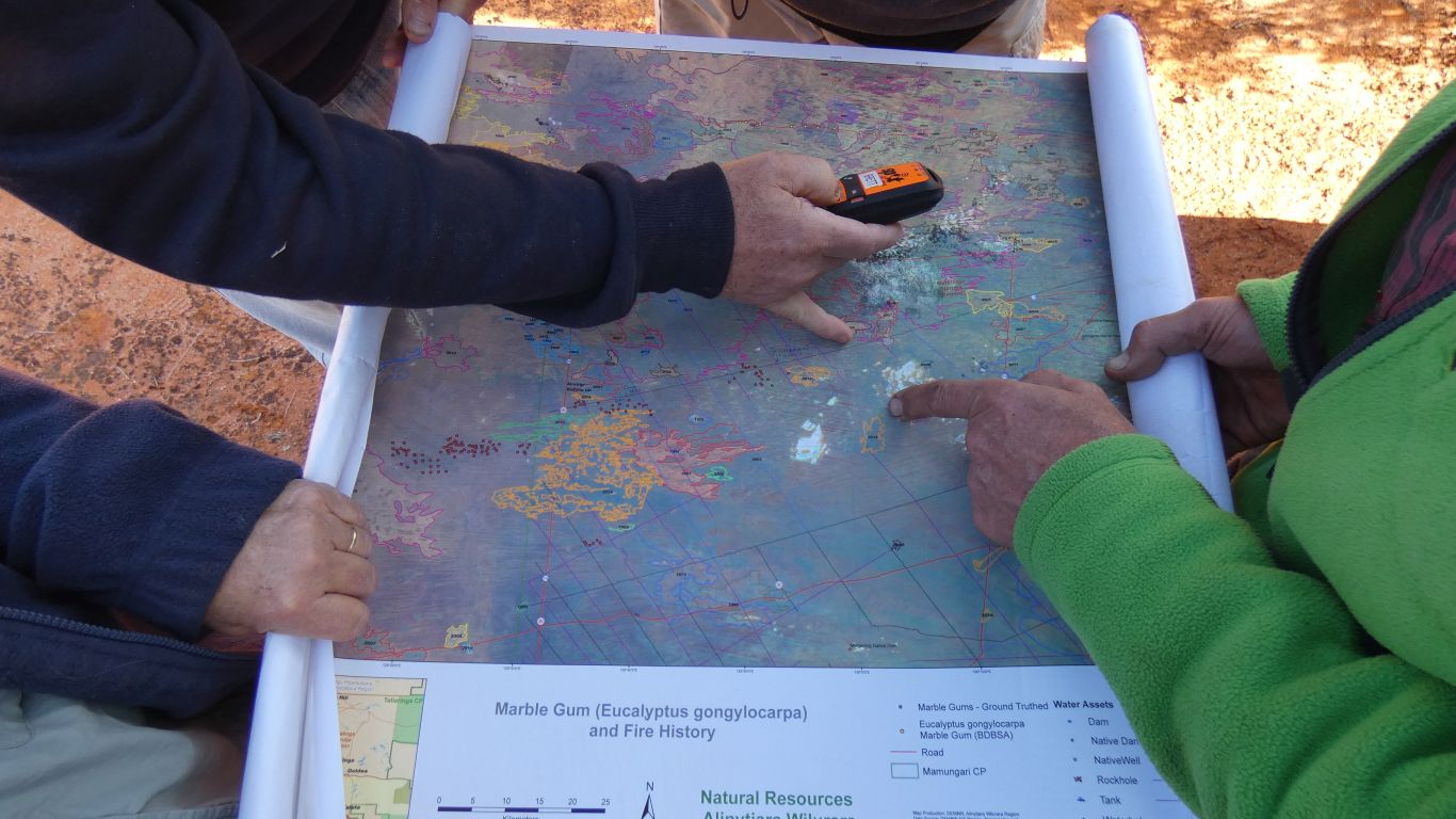
The map was prepared to help corelate Marble Gum health to fire incidence.
The minimum time between fires is about 6-8 years, the time it takes for sufficient regrowth to support a fire. After that, the longer between fires the hotter the fire as there is more fuel.
Without human intervention there is a sense that natural fires are fewer, longer between, and hence more destructive. Information, in the form of old aerial photos have been sought to trace the fire history of the area.
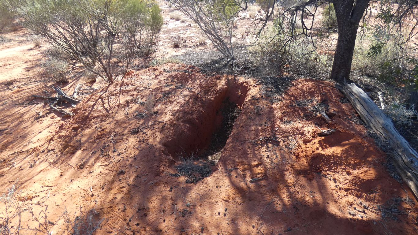
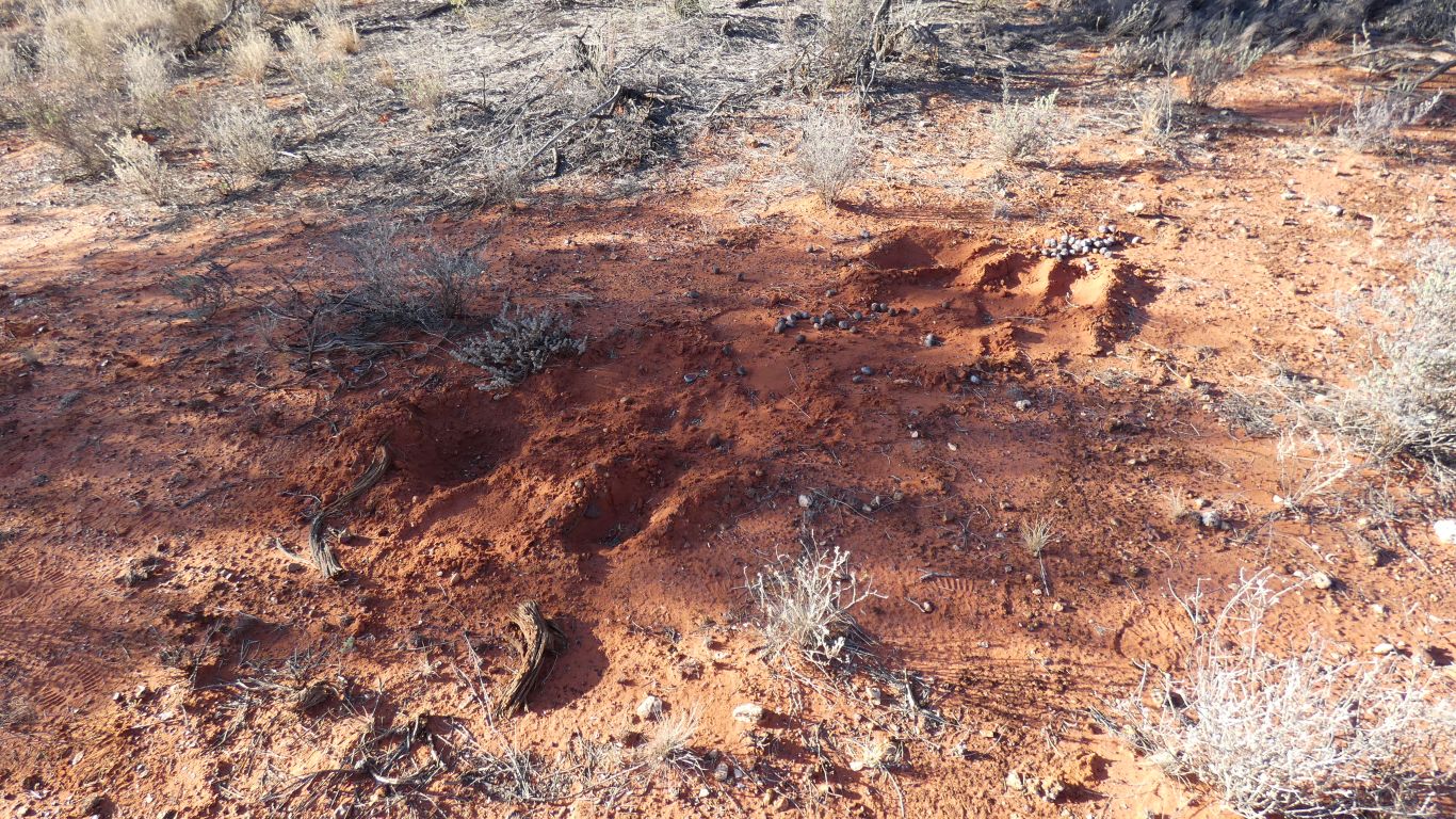
The trench bisects marsupial mole tunnels.
Near the base of a mallee tree where there is ground litter supporting the bugs that the moles eat.
They rarely surface.
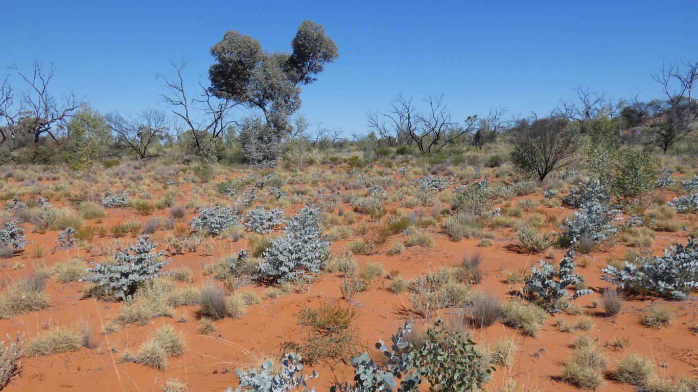
I try to match the ridges (and swales) shown on the map to the vegetation.
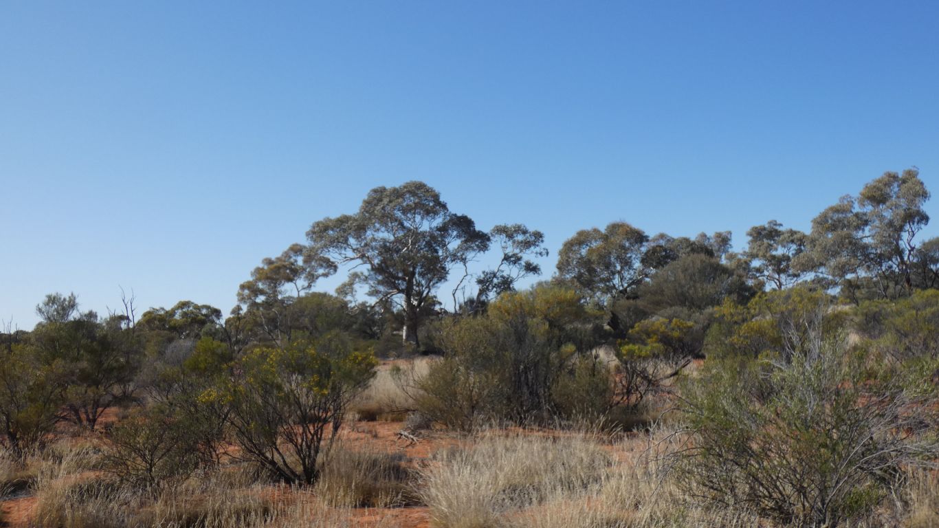
In general, the Marble Gums like sand, the Desert Oaks like the swales. But obviously more complex than that.
To limit their use.
The shot lines are roughly north west to south east and at right angles to that in a grid.
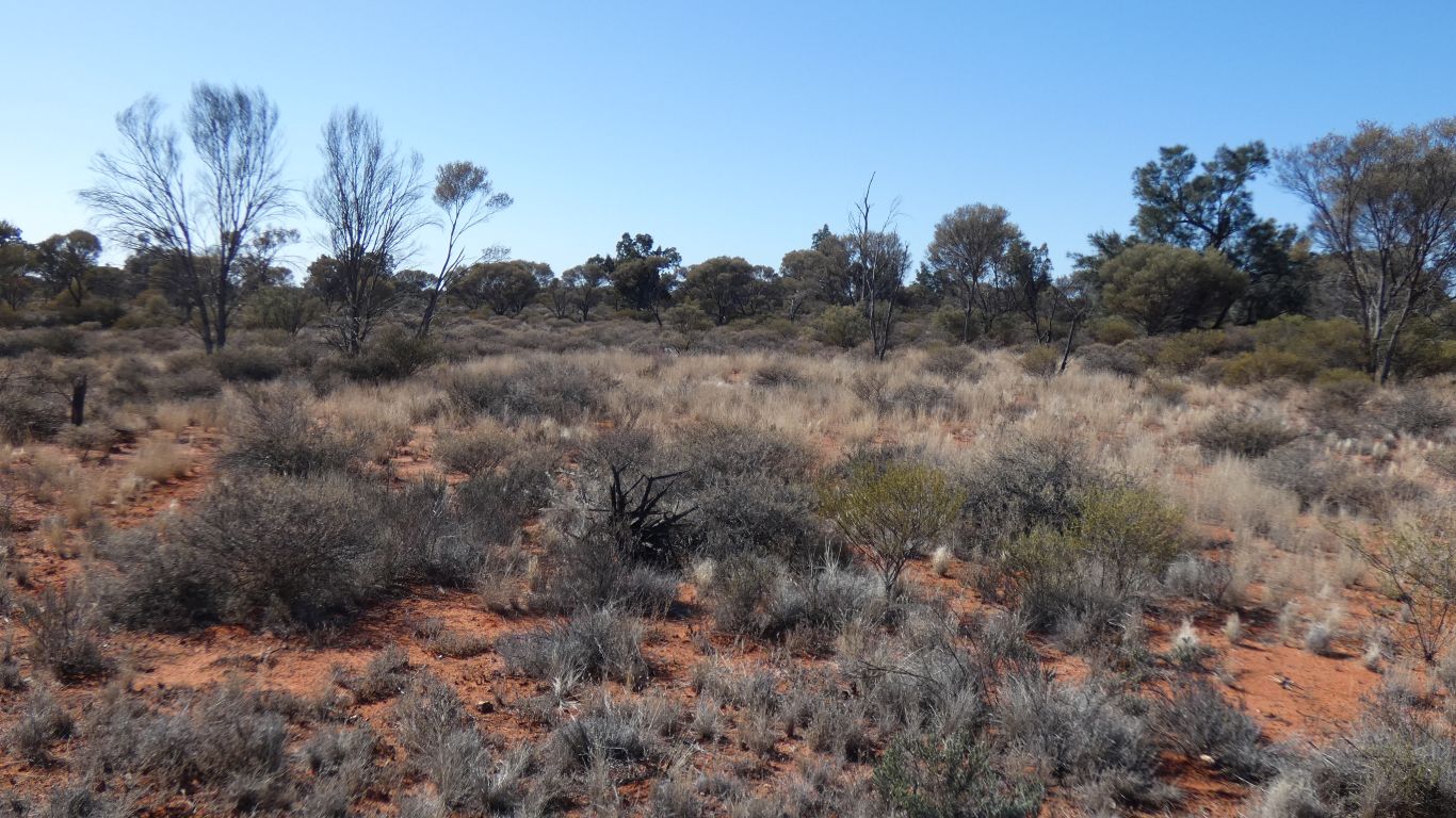
There has been more rain in this area than further east.
Though we are reminded of copicing in forestry practice.
The gums have juvenile leaves which are different to adult leaves. We don't know how the transition occurs.
This plume of seedlings was carried eastwards by a westerly wind.
Seeds close to the parent trunk don't germinate. The suspicion is of a chemical signal from the parent that suppresses germination or growth rather than no seeds landing there.
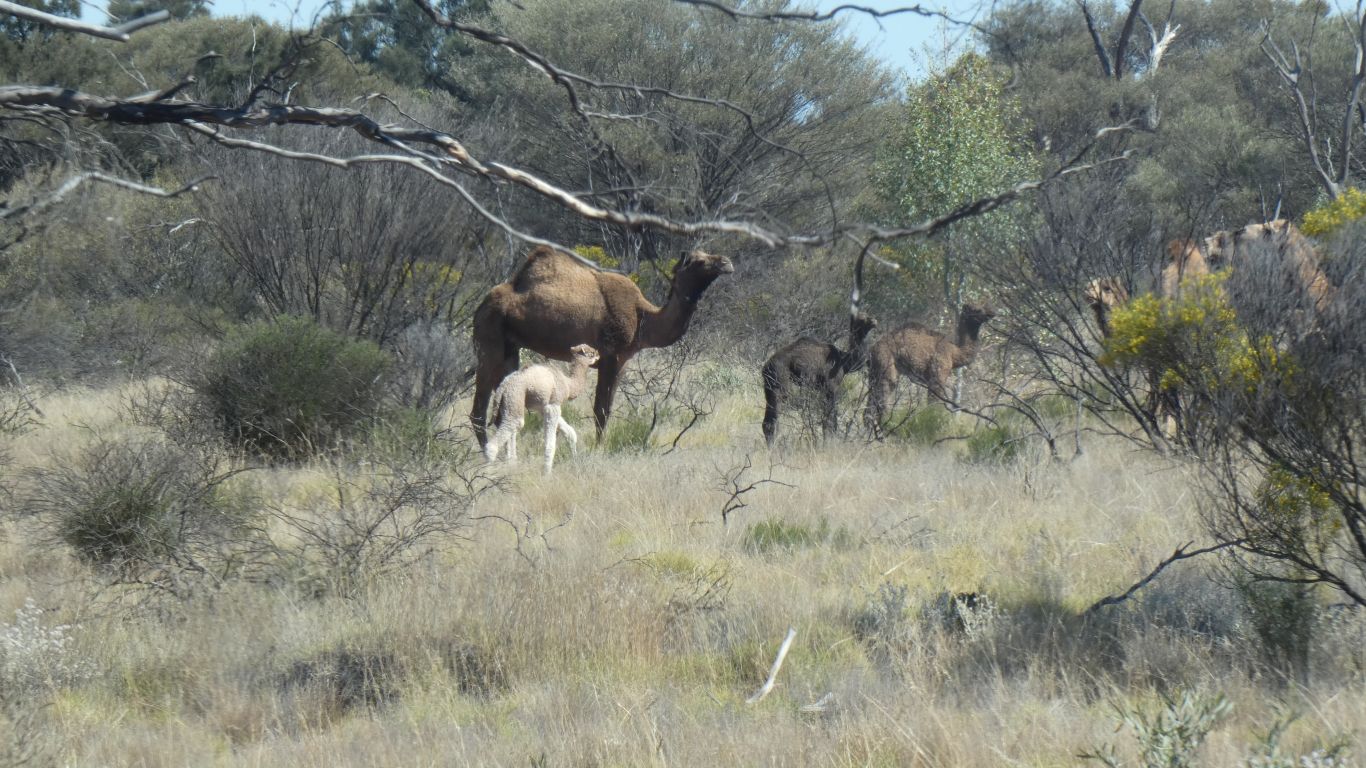
Camels.
And a very young calf.
It looked like it was going to investigate us, but parents won.
A photo site to monitor regrowth after a destructive fire.
An obvious difference from previous pictures.
We are beginning to "get our eye in".
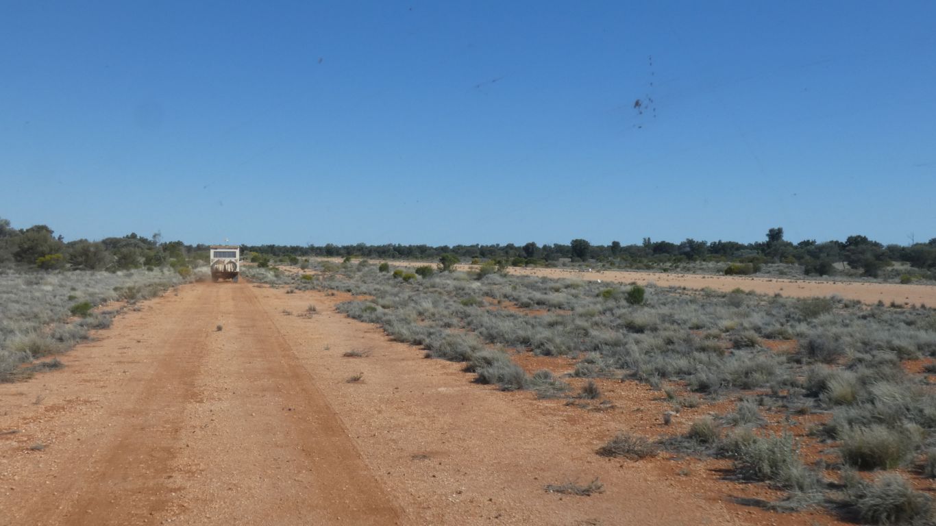
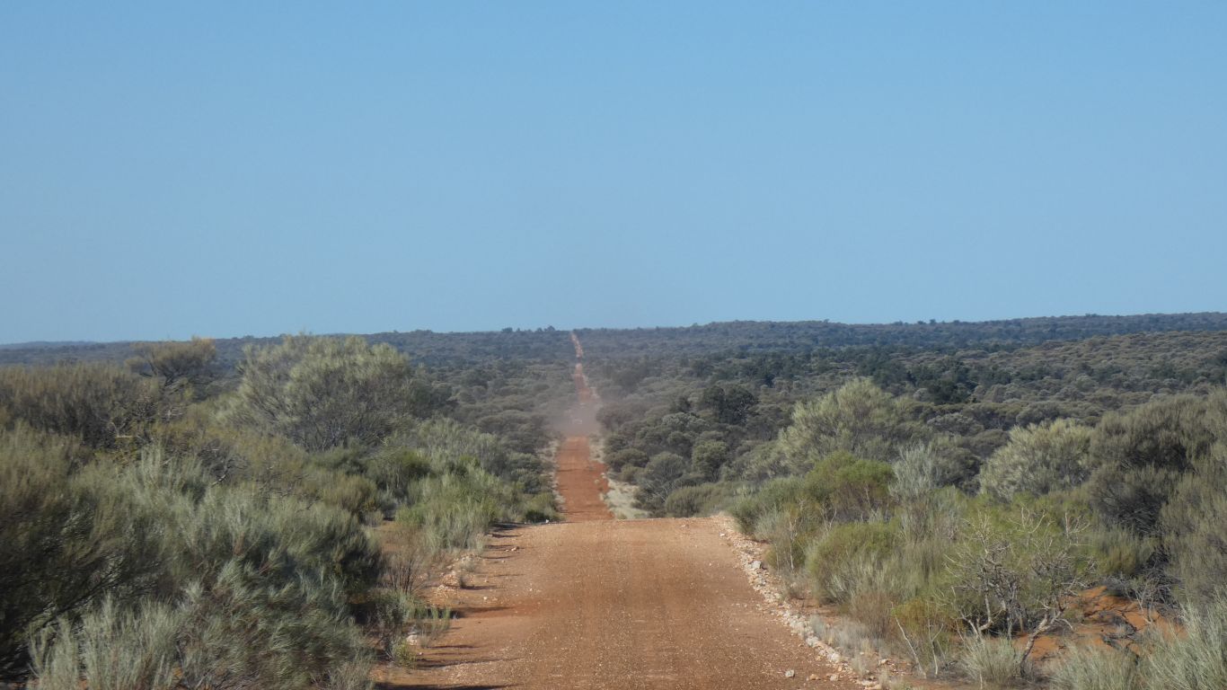
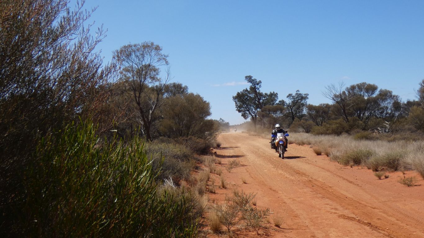
The Rig Road is a substantial engineered road. The airport is capable of landing large planes.
There were big plans for the area as a substantial oil find was anticipated.
Unfortunately sufficient oil was not found. Or the rock was "too hard". Either way we are left with some infrastructure.
We camp on a short road running west from the rig road, a little south of the airport road, towards an old, capped, unproductive, well.