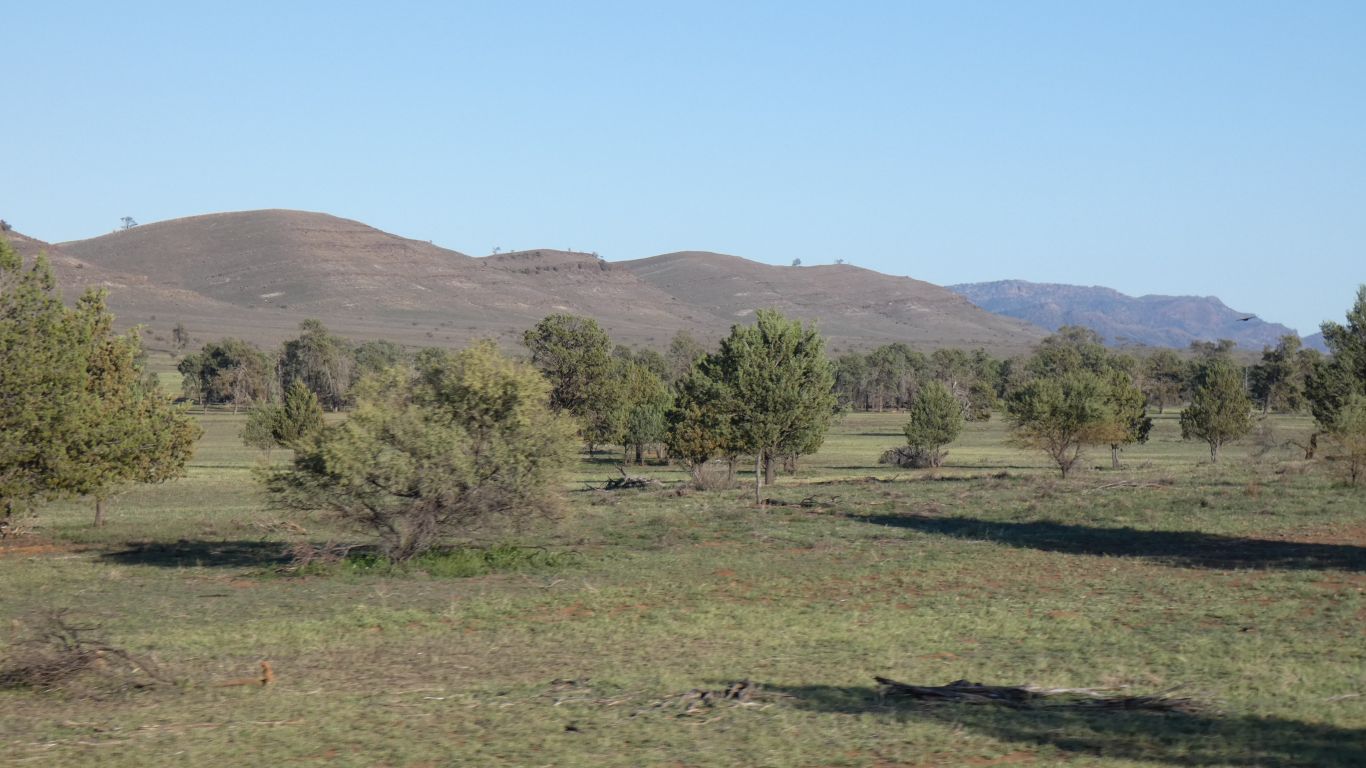
We are in National Park, where "only" the goats, emus, and kangaroos graze.
In 2010, our first trip in the truck, we drove southwards along the Strzelecki Track and pondered turning south at Mt Hopeless on this road. However, a bit of rain put us off. The road was closed.
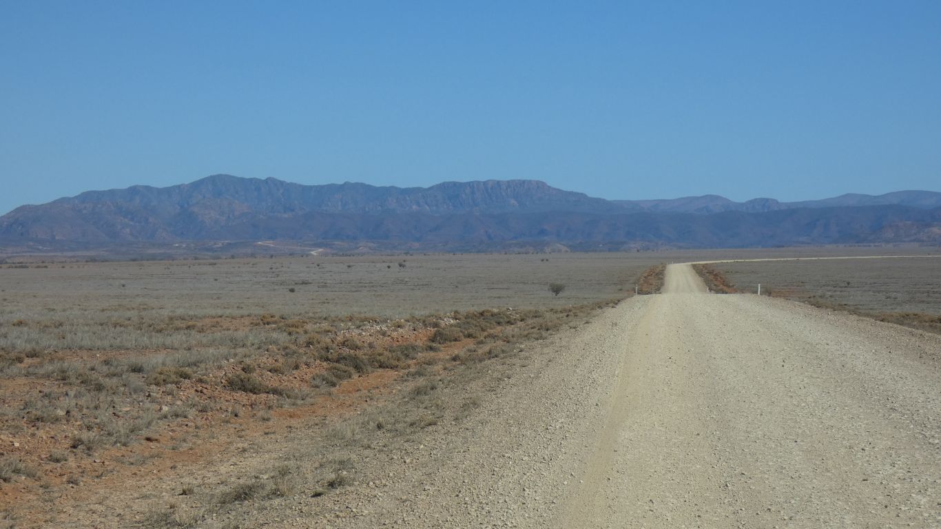
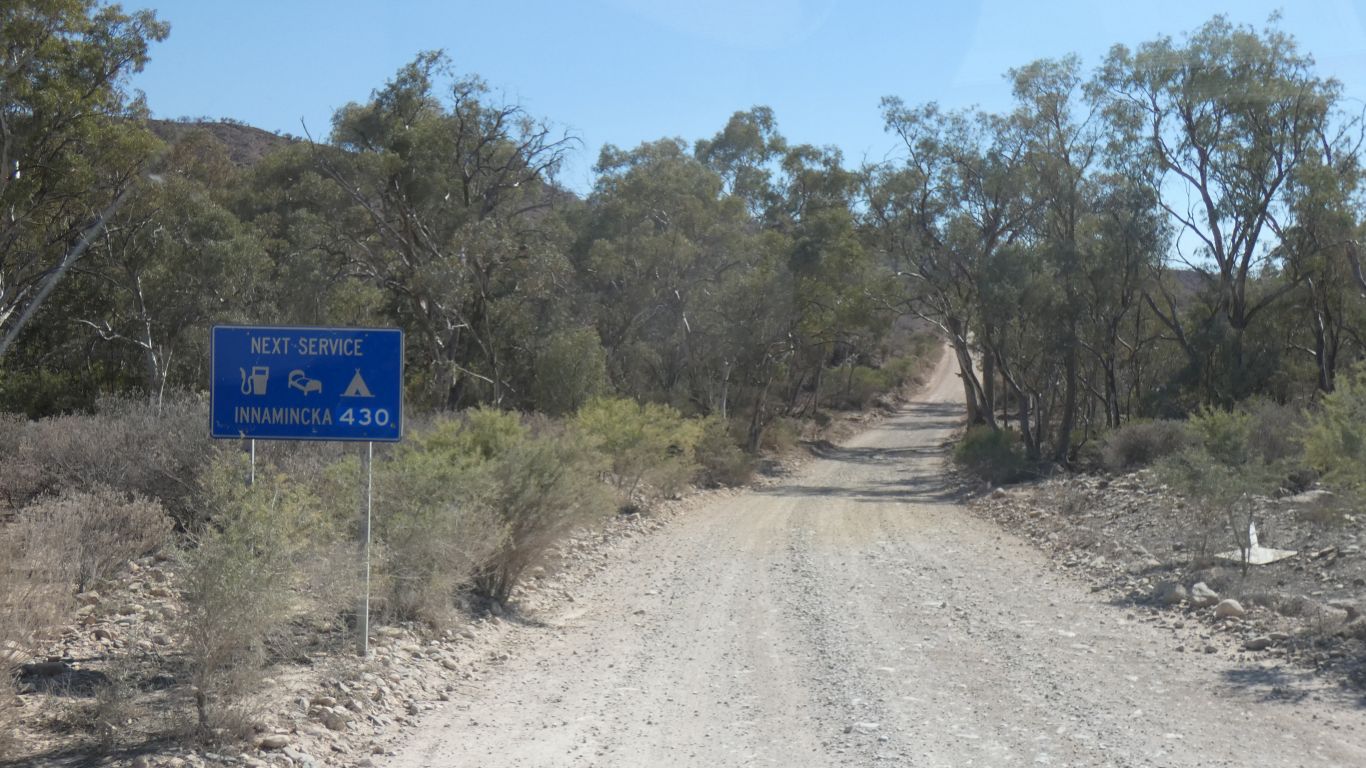
We are headed towards Innamincka, but will turn east to Cameron Corner.
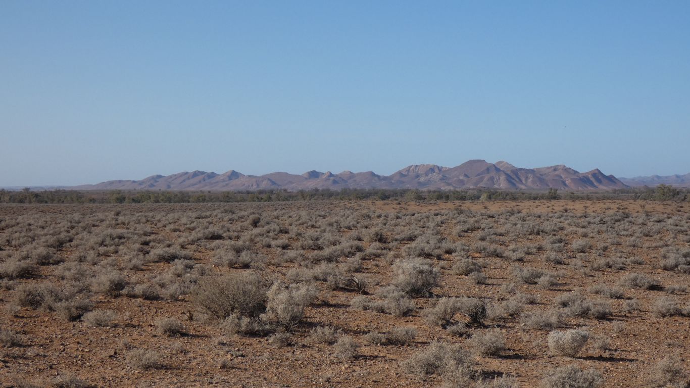
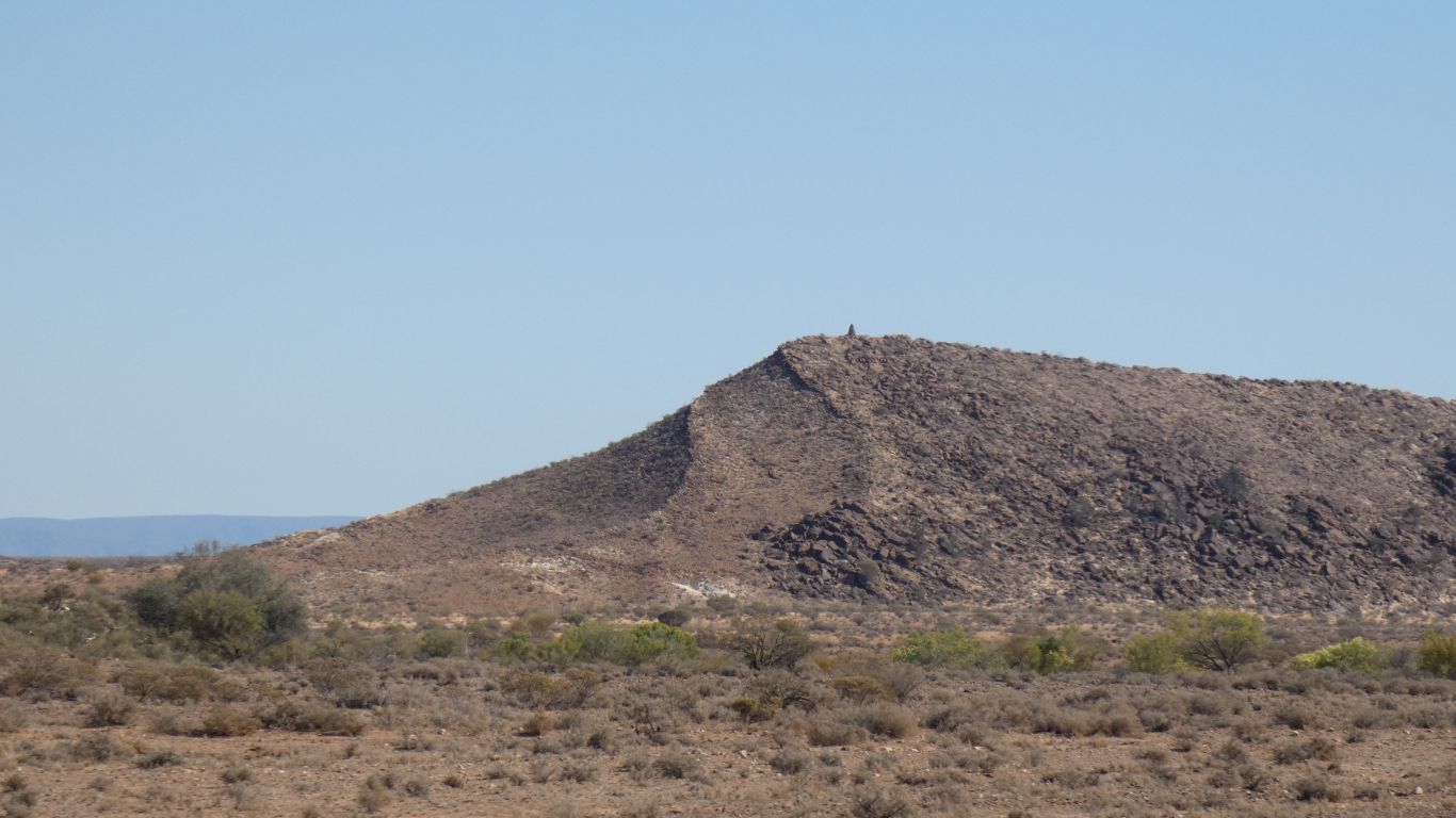
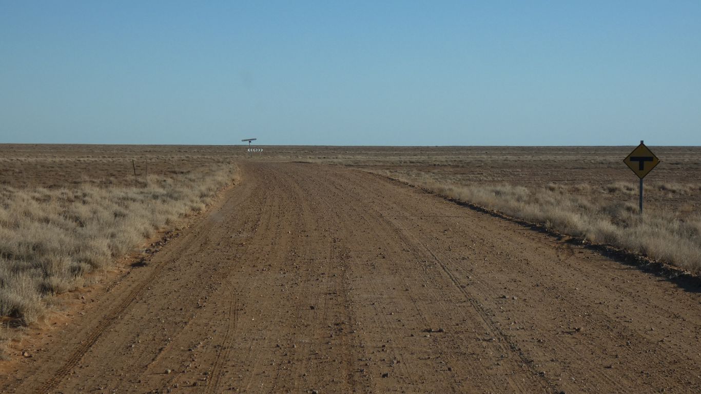
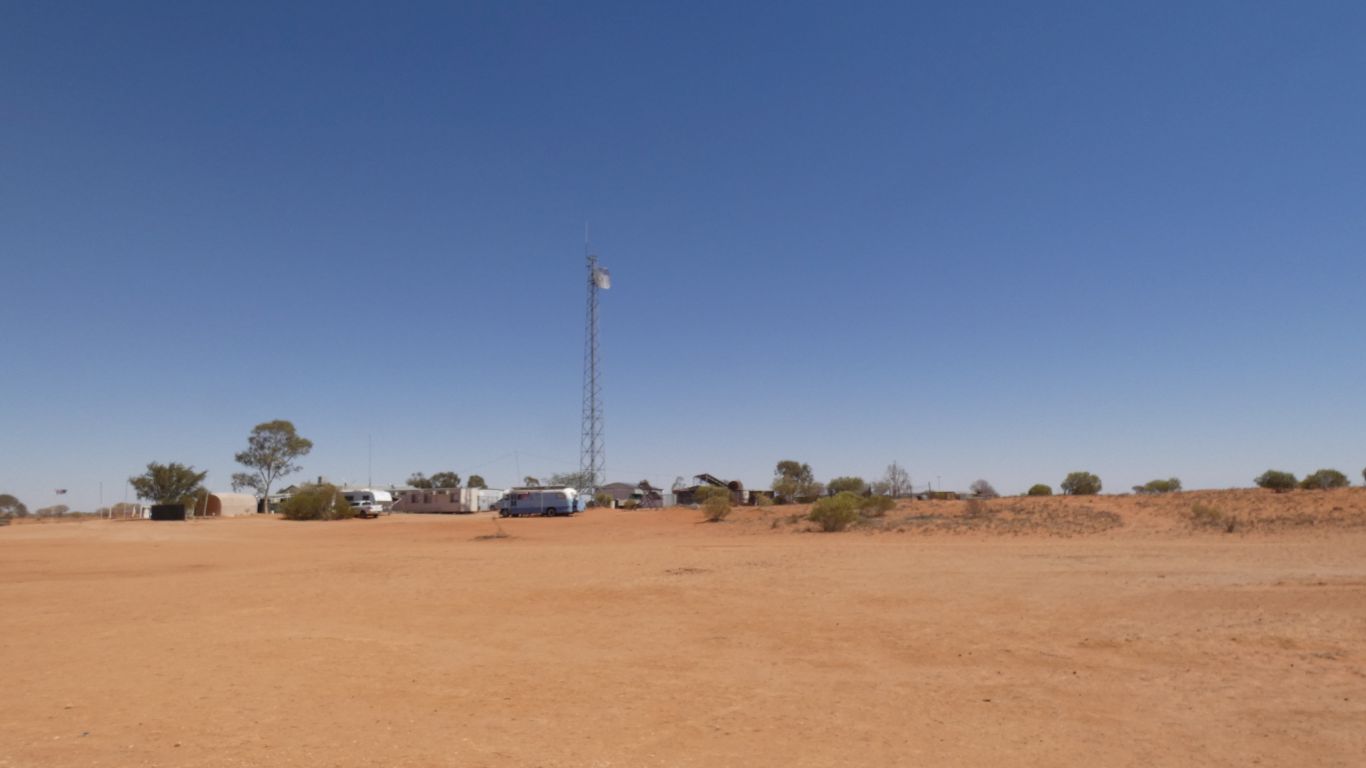
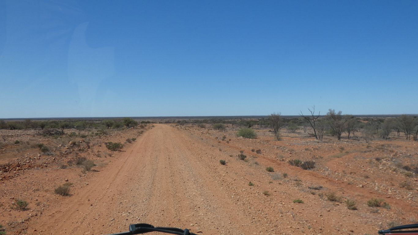
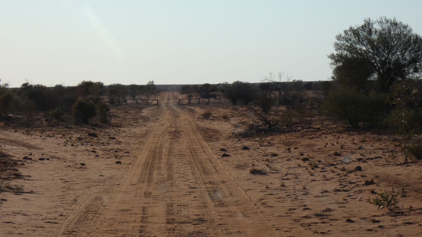
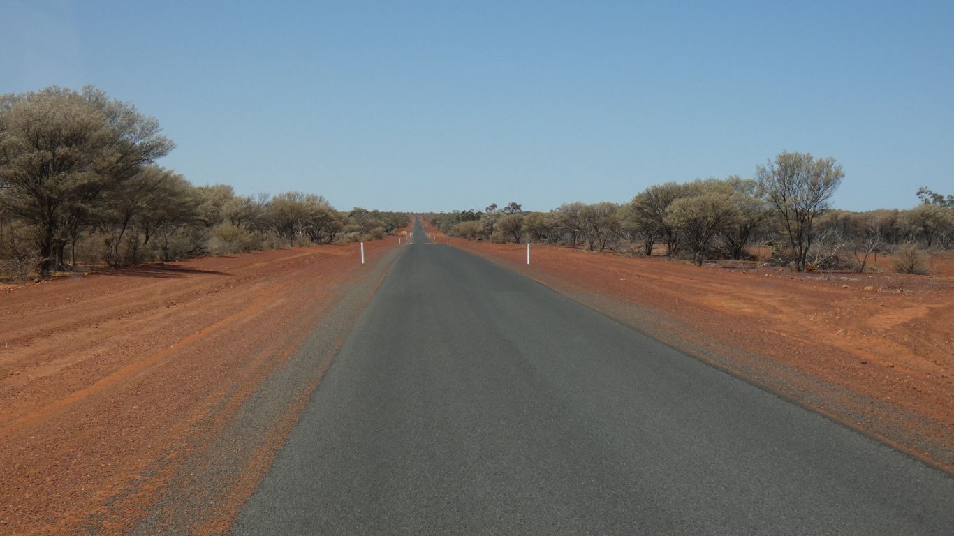
We are driving across relatively flat, very arid, plain.
The beginnings of the Strzelecki Desert which extends northwards.
There is fuel at Cameron Corner if we need it. But Thargomindah is only 1100 km from Port Augusta and we have sufficient fuel for 1400 km at our current rate of consumption.
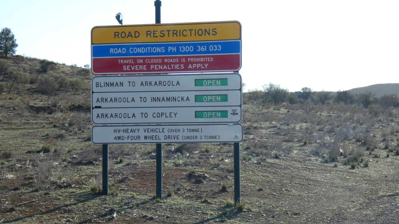
The only bit of road we are uncertain of is the track north east from Cameron Corner for about 60 km.
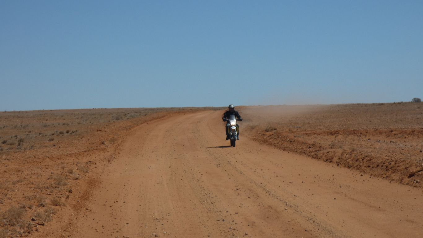
A couple of motorcyclists and their support vehicle carrying lots of jerry cans headed south from the Strzelecki Track.
Lunch, then "nanna nap".
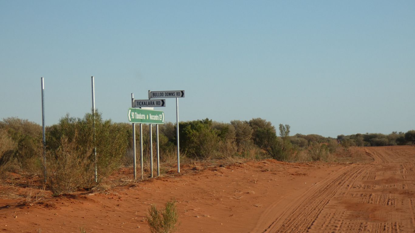
Cameron Corner is about 250 km, then Thargomindah another 350 km. We'll aim for Warri Warri Creek, about 70 km beyond Cameron Corner.
Today's important task is to repair the "desert flag", broken on trees in Maralinga Tjarutja land, and useful for the roller coaster dunes between us and Cameron Corner. An easy repair ..... shorten it by 5 cm, taper the end, push firmly into quick release air fitting.
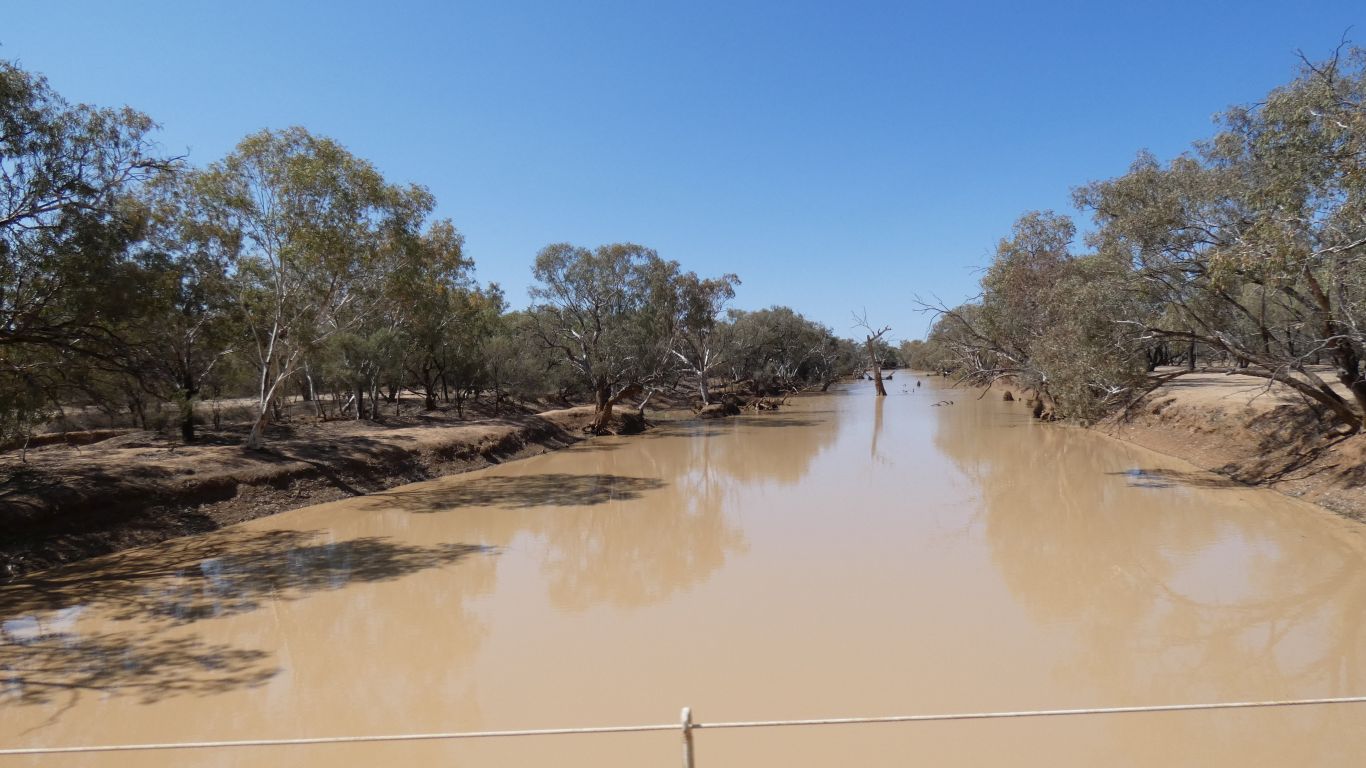
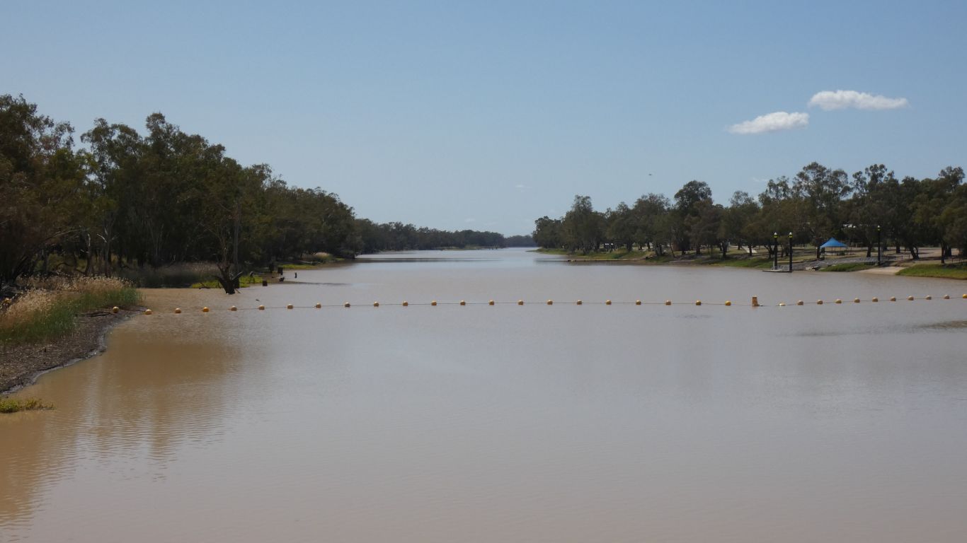
The creek bed is quite narrow, but there's a much wider, at least 500m, flood plain.
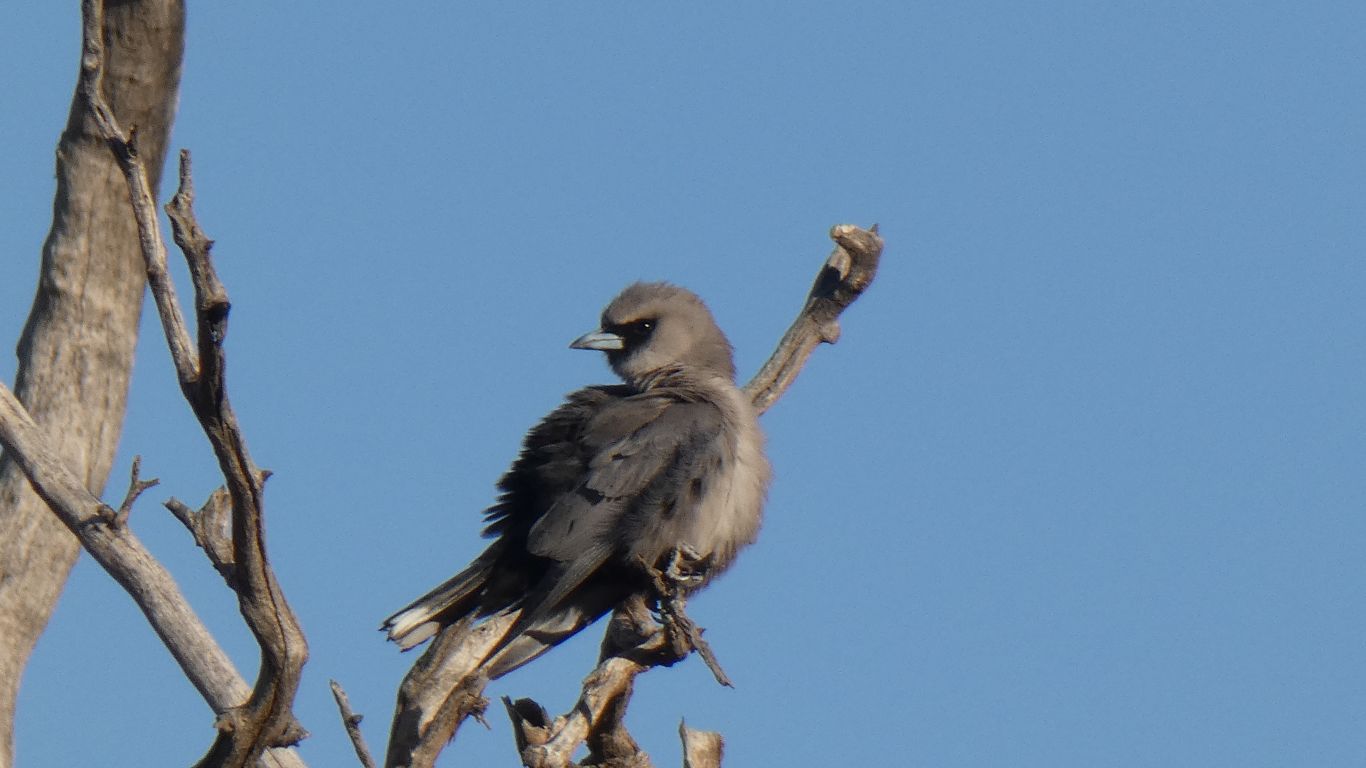
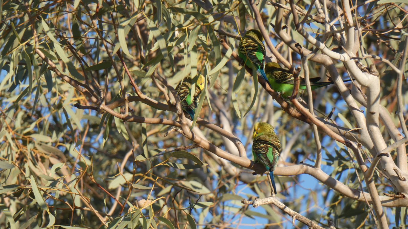
First was a black-faced woodswallow. Enjoying the evening's insects.
There's a cool breeze and some warmth still in the sun.
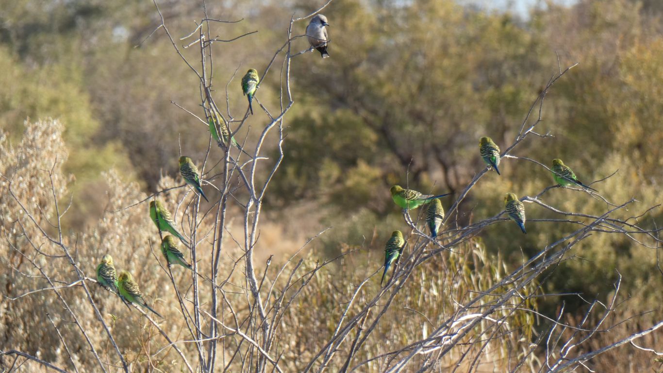
There was also a flock of zebra finches. I wonder where the water is.
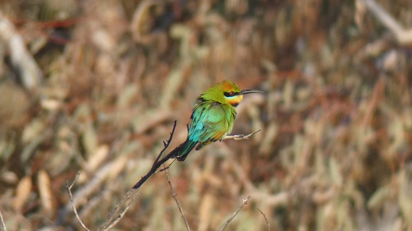
Perhaps a little smaller than elsewhere. And sitting still for shorter times. Ignoring the tall trees for smaller shrubs. At first I thought they were more blue than elsewhere, but just a trick of the wonderful light.
Like the woodswallow, maybe its feeling a bit cold.
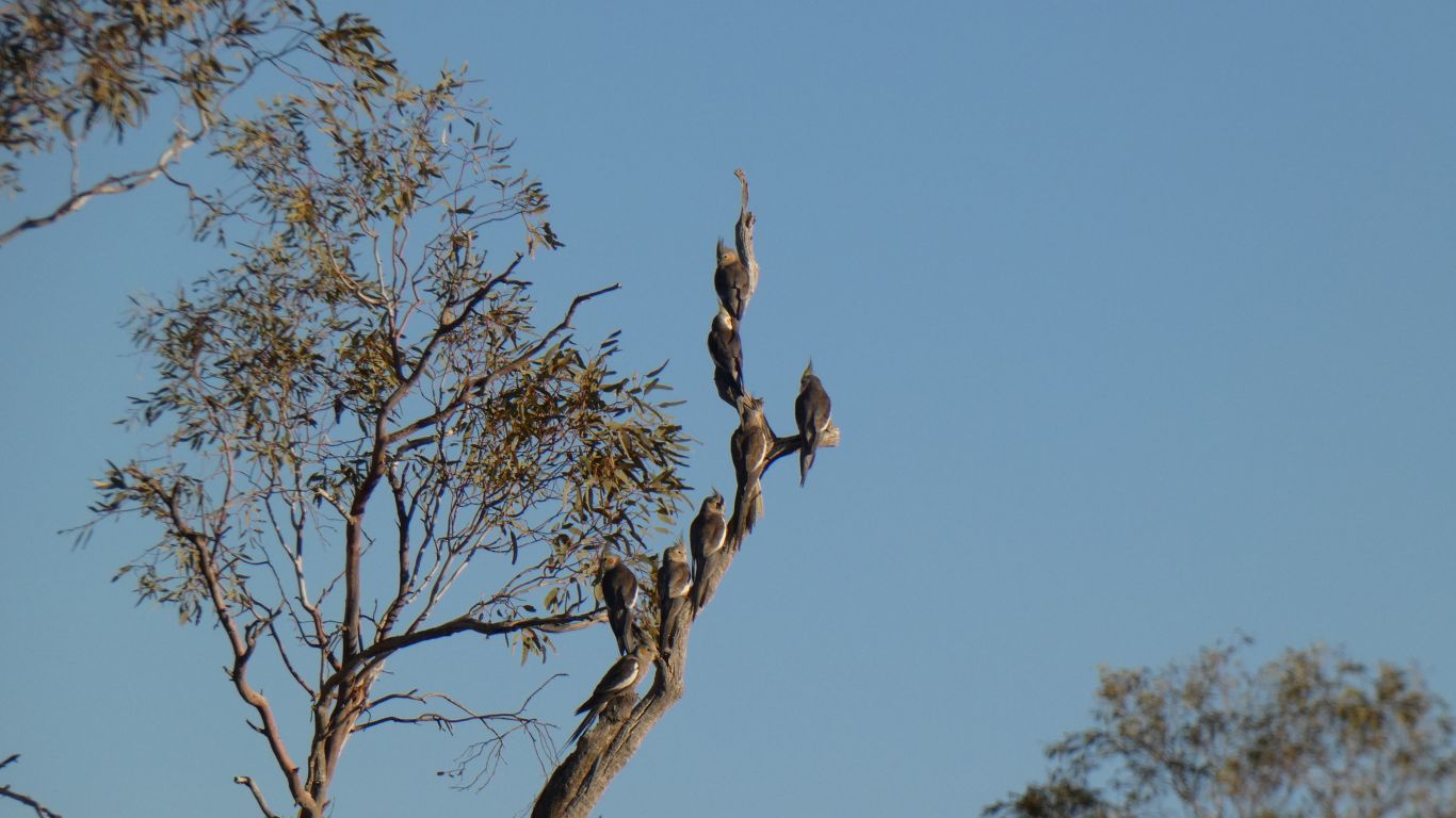
Initially on the ground, but on a high dead branch when I finally caught up with them. I thought they'd flown further away. I left them alone lest they miss their evening meal.
The few galahs also flew off.
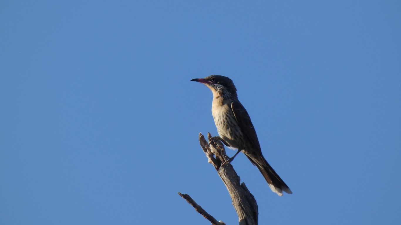
But the bird book says they don't live here.
Standing still seemed to be the most effective strategy for me. They eventually arrived in a tree next to me. Totally ignoring me.
I don't know whether to be pleased, or annoyed.
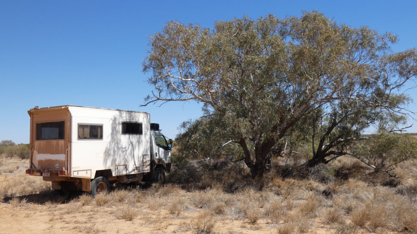
In the grander scheme of things there's nothing particularly special about either the campsite (a bare, windswept, alternately hot and cold, patch of earth next to a dry creek) or the birds and plants (we've seen many examples of all of them previously). But there is seemingly something special about the moment for me. I hope I never tire of such moments.
But after a few minutes the whole flock of about 30 took flight.
Home for tea after a fascinating half hour watching the world come alive. And so pre-occupied with birds I forgot to look for lizards.
Though I did notice there was no spinifex. "Just" grasses. I suspect I've only seen "arid" for short periods, very infrequently, and haven't quite grasped that it doesn't mean desert. And even desert doesn't mean devoid of life.
Somehow these creatures manage to live successfully here.
And I did notice the trees, and how some of them have several trunks, as if the main trunk had died and others sprouted around it. And the evidence of chainsaws cutting firewood. There hasn't been a fire here recently, but I'm guessing there must have been at some time in the past.
A bit like buying a particular model car then noticing everyone has one. Now I know about basal epicormic growth ........
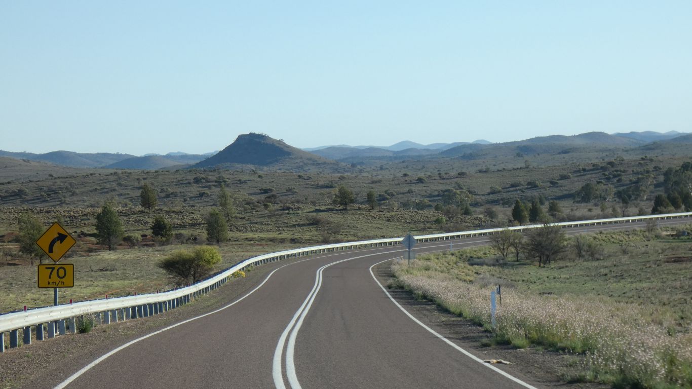
Turn right, towards Innaminka.
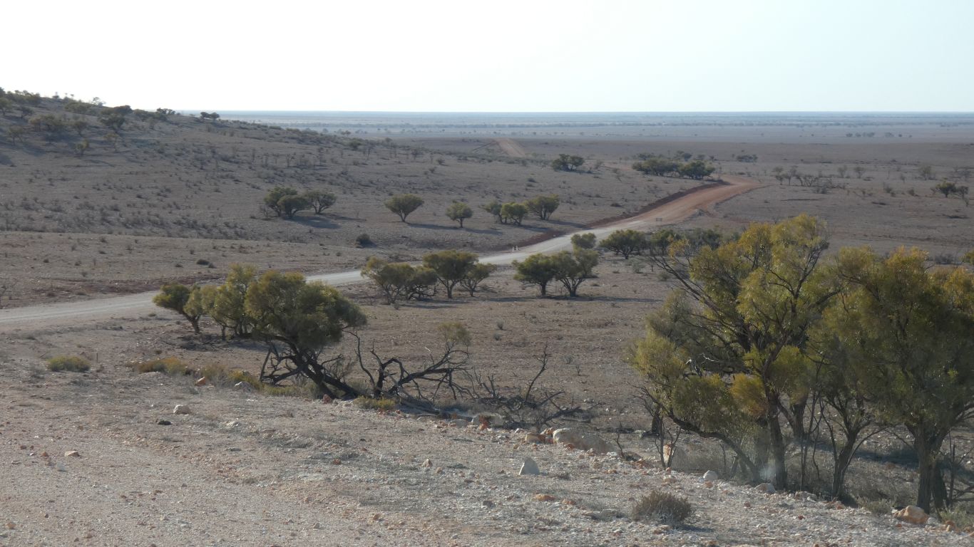
Its a mixture of just about every sort of desert. Sand plains, gibber plains, dunes.
Except the "lush" vegetation of the Great Victoria Desert that is.
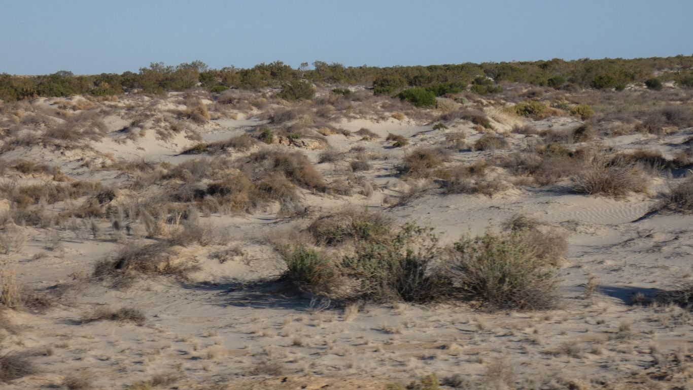
This looks like the vegetation is hanging on while the sand around is blown away.
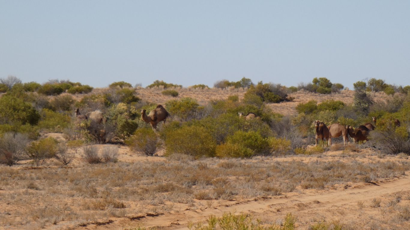
We struggle a bit as there are obvious results of grazing cattle.
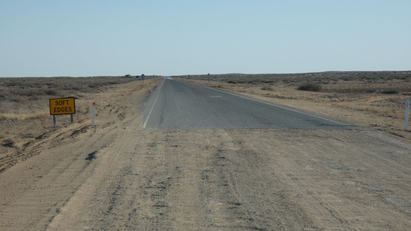
The seal lasts for 7 km.
Unexpected, but very nice while it lasts.
We've taken the same shortcut avoiding Merty Merty we took in 2010.
The track is in much better condition than then.
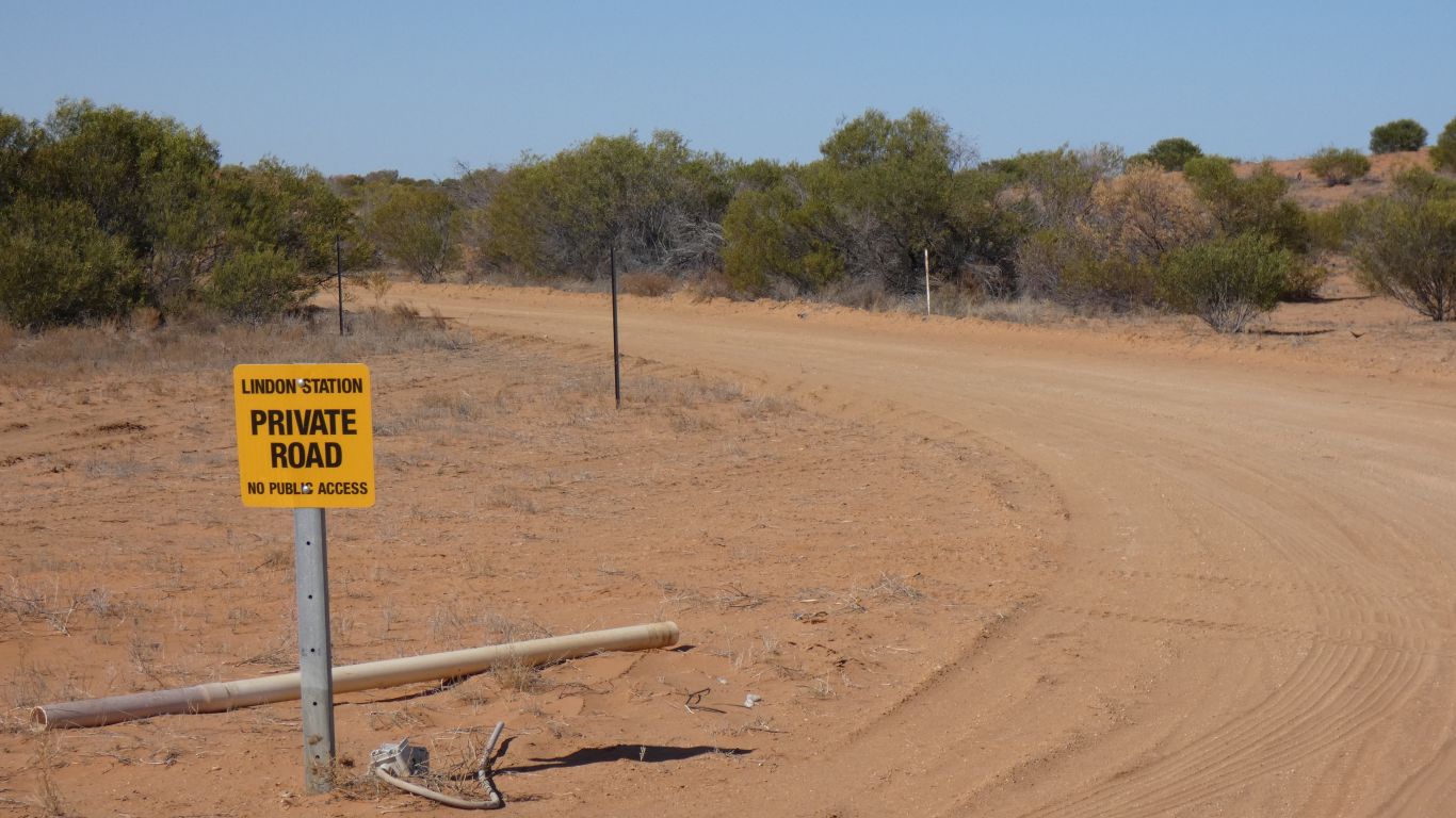
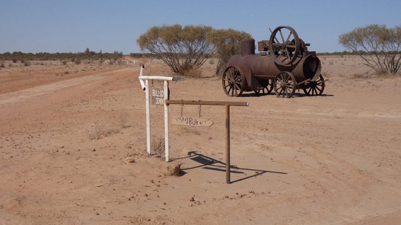
This sign at the northern end.
Apologies to Lindon Station.

The broken clay topping over the dunes has been repaired, and the road graded.
There are a few red flags marking where the road has begun to break up again. And some broken dune tops aren't marked.
But very easy going.
We didn't see "The Yellow Bus", and there was a "no camping" sign as we crossed the grid at the station boundary.
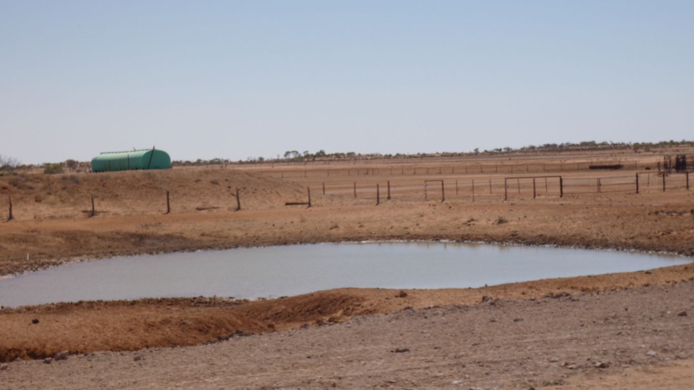
The "no swimming" tanks weren't obvious, or had been renovated, plus some new tanks and yards.
Near the station buildings was what looked like hay, and water, and paddocks, and cattle.
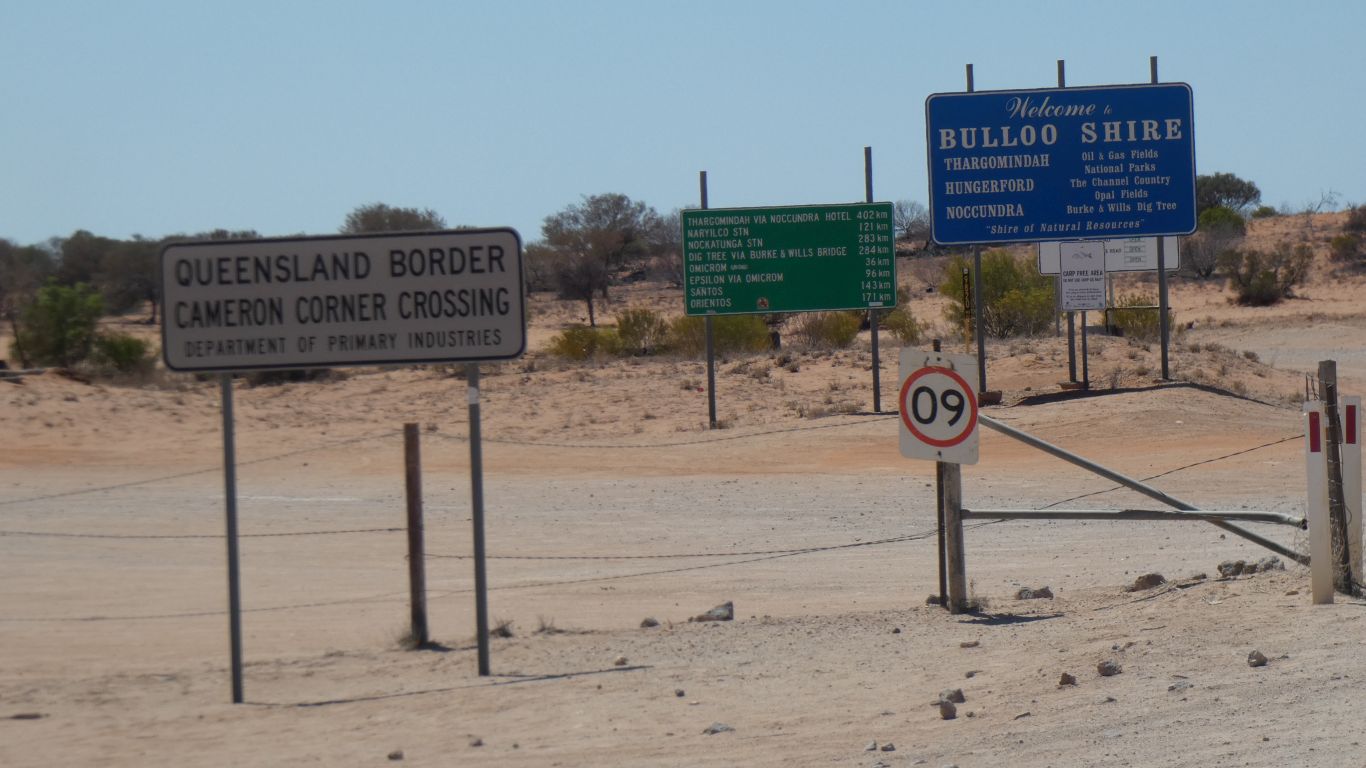
Lots of signs.
In particular "road open" and distances along the track leading north east from the corner.
There is a subtle difference though. Between then and now we have traveled many thousands of km on unsealed roads and tracks in various conditions in many countries. We feel more comfortable, and differently, perhaps more, aware of safety.

Its labeled "Cameron Corner Road" which gave us some hope. As does the large sign.
It was graded once, and in places formed with gravel.
The surface is now a bit broken. There are the inevitable corrugations, and ruts.
50 - 55 km/hr is a good speed for us.

The track runs along wide swales between long dunes. Occasionally, but not often, crossing one.
We sense we are leaving the desert and entering "Channel Country", though that won't be really obvious for a while.
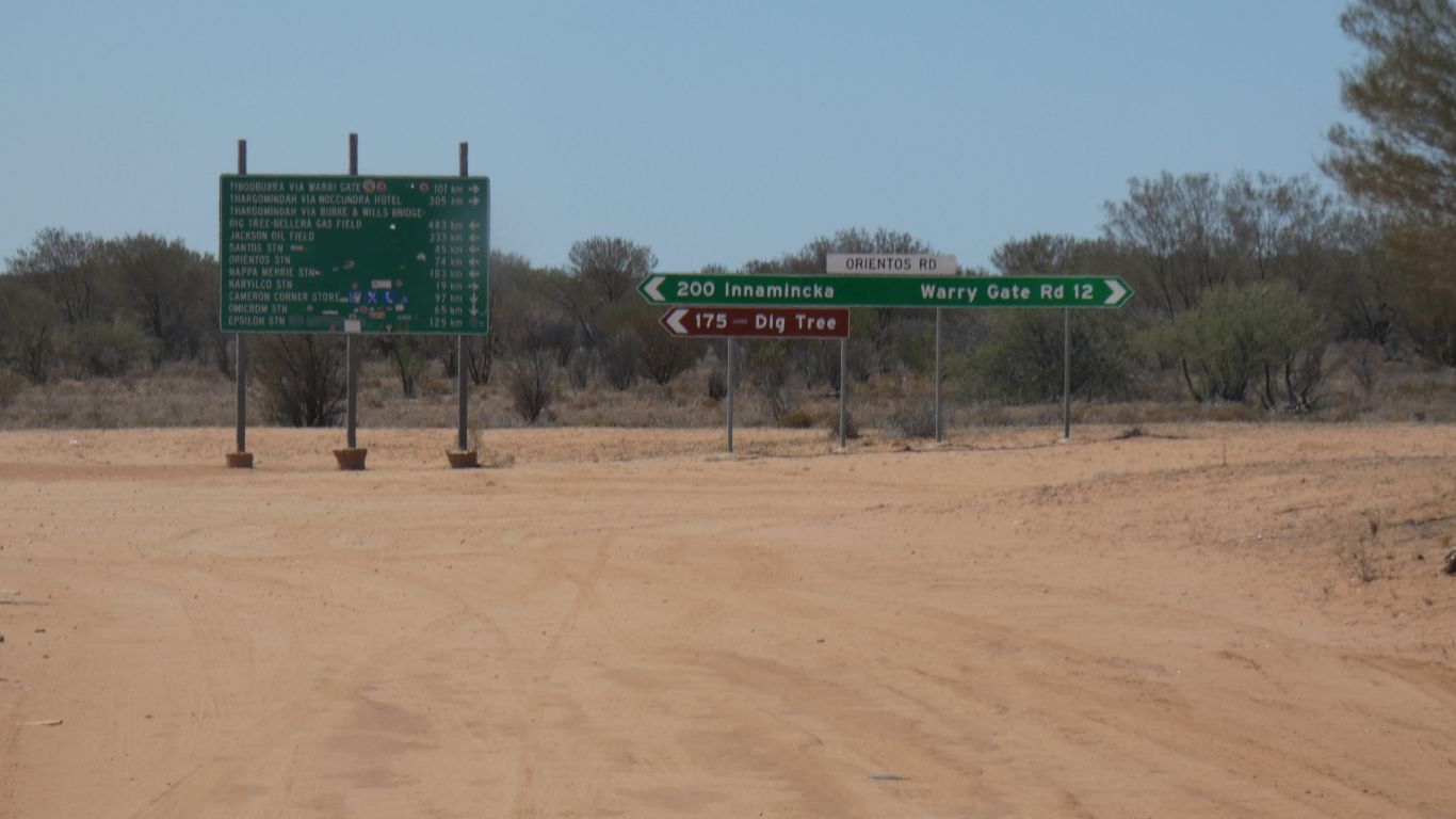
We turn right, so that in a few km we can turn left towards Thargomindah by a route that's not identified on the sign, but is shorter.
Warri Gate Road would take us south to the border. To the gate we took a pic of in 2010. Innaminka we visited last year, after the Simpson crossing. We are slowly but steadily getting our bearings around the middle of Australia, but its big.

Its still only lunch time, but after about 320 km we are suitably battered. We stop to camp at Warri Warri Creek. We are still closer to Port Augusta than Brisbane, about 1100 km away. Queensland is a big state!
Last night's campsite must have been a bit of luck for bird life. Tonight we can hear but rarely see.
It seems the next step in our bird observing career may be to listen more acutely and understand the behaviour of those small birds that like to hide from us while singing to each other. And to better relate habitat and bird life.

But not too far away were these hoof prints in the very dried mud.
Which reminded me of the sauropod tracks at James Price Point.
Including the raised lip.
Its shorter than the "main" road to Thargomindah. But not as developed.
But smoother than the main road.
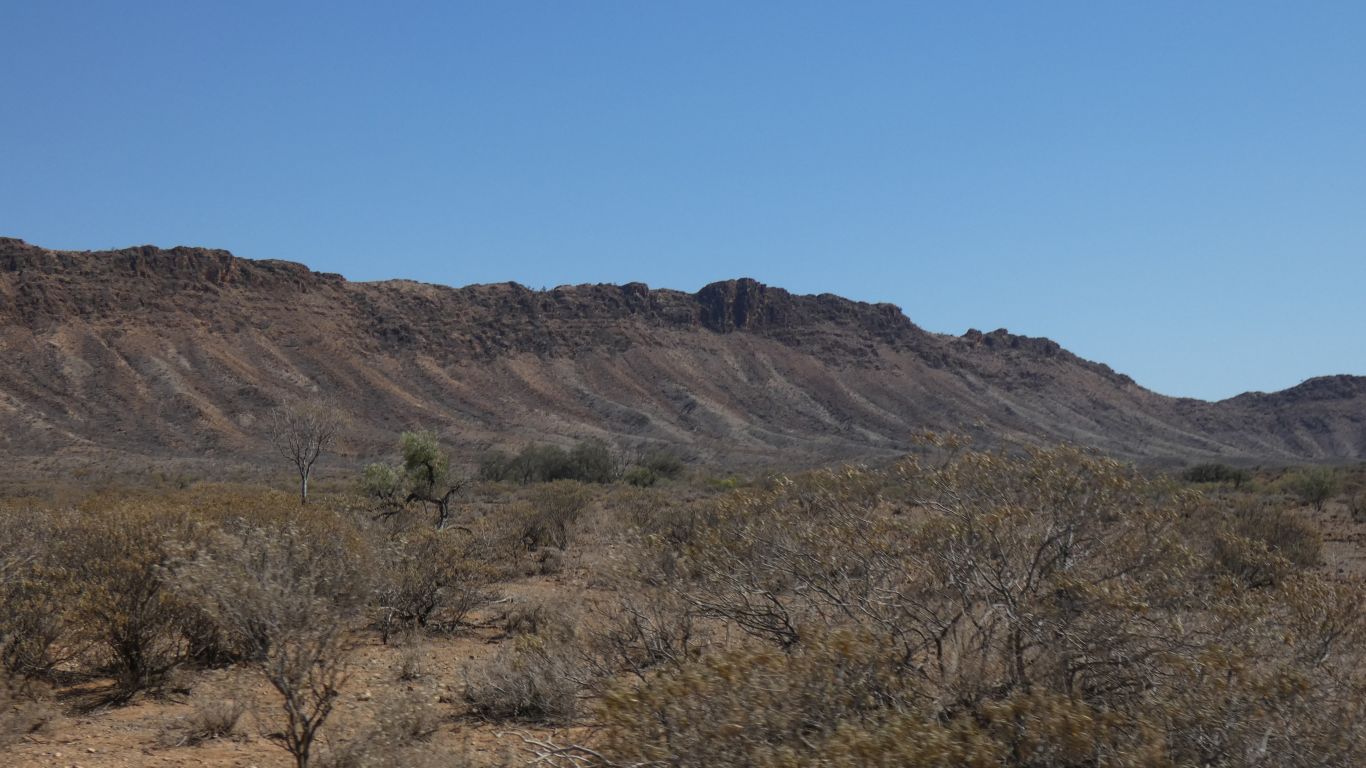
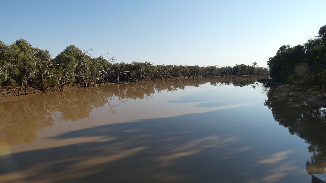
Over the (not very high) Grey Range, then descend to Tickara Creek and the Bulloo River.
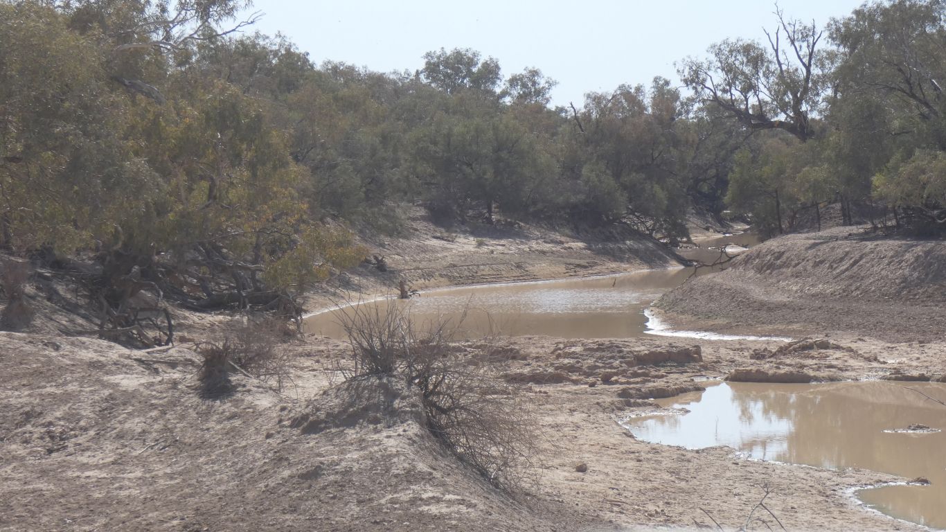
But of course there are many minor channels, all dry, to cross.
The isolated river flows north to south, ending in an ephemoral lake and marshes more or less at the border.
We'll have to add Idalia National Park, that contains the source of the Bulloo, to our list of places to visit.
Fuel, though we still have plenty to spare.
We are now in the Murray Darling catchment.
I'll spend some time with the bird book.....
We are looking for Halls Babblers, which according to the sign at the entrance frequent the Bore.
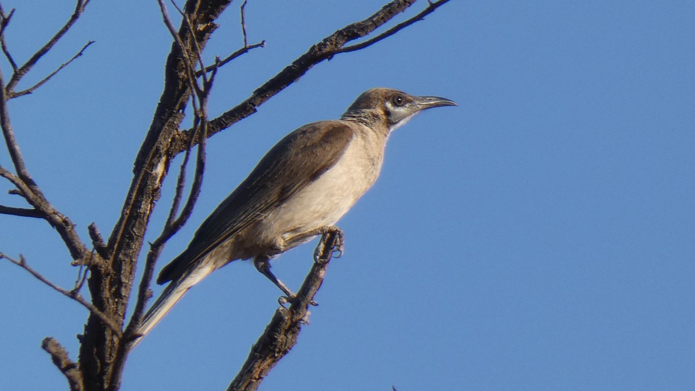
This is not. But I don't know what it is.
My perennial problem is where to look. In the trees, in the bushes, on the ground, at the water ..... ?

But this one is very distinctive and immediately identifiable as a Halls Babbler. There are three hopping around on the ground. Looking for whatever they eat for their evening meal.
A couple of kangaroos, but none of the Bourke's Parrots known to frequent the bore.
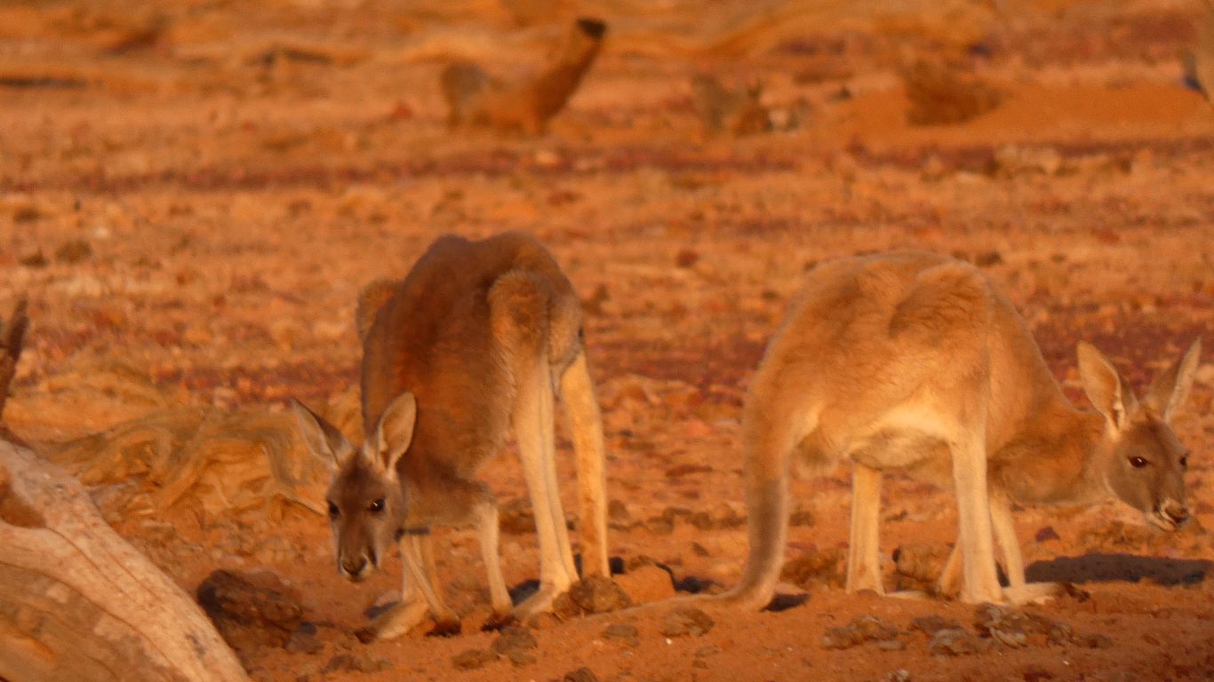
Very cautious, but I guess they needed a drink.
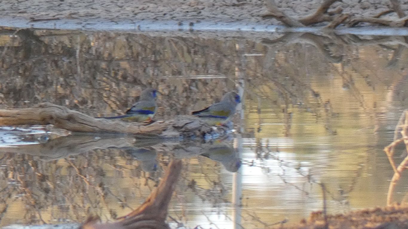
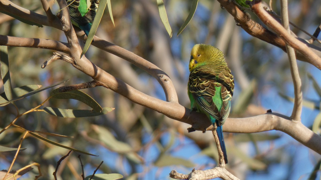
A handful of Mulga Parrots arrived for a drink.
But also, what can only be a pair of Bourke's Parrots. Not a flock, just a pair.
At the limit of the camera, their faces look more blue than the bird book. The other colours don't look quite right either.
But given the time of day, and the distance, and that there are no similar parrots, I have no doubt.
The bird book describes them as "locally abundant". I hadn't heard of them until yesterday.
Though, of course, it could also be a blue bonnet given the blue on its face and a bit of red underneath. The more I look, the more I think Blue Bonnet.
Still part of the Murray Darling Catchment.
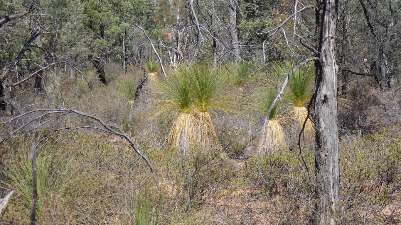
A miniscule park, we have no idea of its purpose.
However, we did see some unexpected grass trees. We believe they normally occur at higher altitudes. Along with the cypress pines.
We are now about 400 km from home in Brisbane. Just a few hours.
About 19,000 km, about 3,300 litres of diesel at average price of $1.65 / litre. A big figure of eight across the continent. In distance and time, similar to Kuala Lumpur to Scotland. Still some, but definitely fewer bureaucratic obstacles. And of course mechanical and electrical problems solved.
A very different experience of course without all the physical evidence of history that pervades Asia and Europe. Australian history is more subtle and less obvious. So more natural history which is much less altered and more accessible.