| |
|
|
| Freshwater Bay, Somerset |
 |
June 14 - 15 2019 |
| |
|
|
 |
|
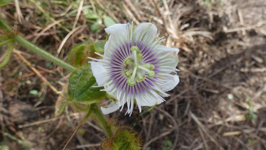
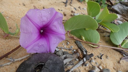
A walk south towards Nanthau Beach. We have no idea what
plant this is. Just that it looks like unusual symmetry. With three and five
and lots perhaps the wind blew some bits away. |
| | | |
 |
|
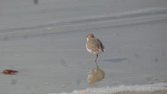
But we do know this is a red-capped dotterel. There's lots
along the next beach south of us. |
| | | |
 |
|
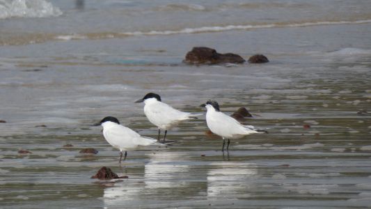
Plus a few gull billed terns. |
| | | |
 |
|
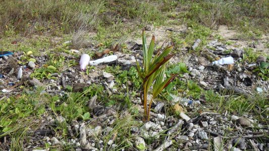
A coconut establishing itself among the washed up plastic. |
| | | |
 |
|
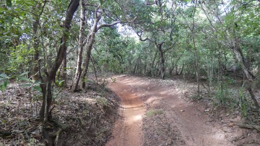
And another plant we don't recognise. |
| | | |
 |
|
At the southern end of the third beach the track is through
about 300m of rainforest. Probably passable but this corner may have tilted
us into the tree. We are happy walking. |
| | | |
 |
|
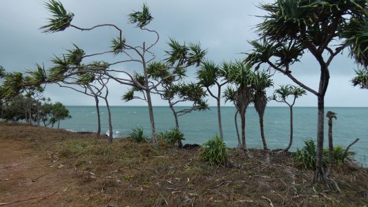
Its a draughty morning. A stiff wind trying to blow the
pandanus (?) and us away. It also rained, a short sharp shower. But we
quickly dried out. |
| | | |
 |
|
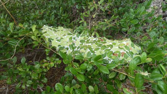
The ants have found a sheltered bush to convert to a large
nest. |
| | | |
 |
|
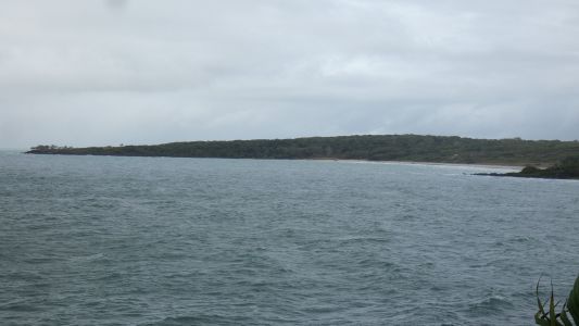
Nanthau Beach, the track wends its way round the headland
then heads north west, to join with the road we drove into Somerset. A loop. Looking
carefully there's a landcruiser at the far end of the beach.
There have been a few groups of 4wds come past in the last couple of
days. None have returned, though a couple of individuals have returned. We
haven't asked.
Only one group were towing trailers and looking for a campsite. |
| | | |
 |
|
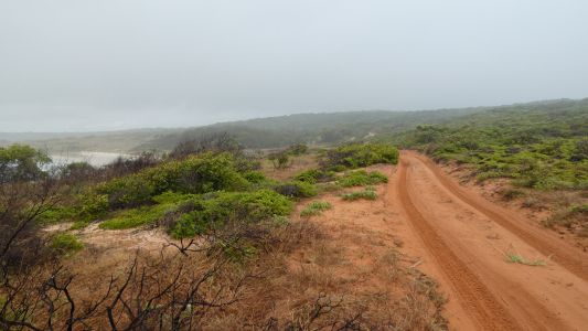
The track after the rainforest. It runs about 50m back from
the cliff top. We are crossing Vallack Point. It looks easy going. There's
a nice looking campsite near the tip of Vallack Point. Turn left after the
rain forest. |
| | | |
 |
|
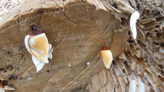
Goose barnacles on an old, sawn down, log. The log is full
of "borer". A very substantial tree trunk. Strange to be
nostalgic about goose barnacles. Many years ago, about 38, I first saw some
very large ones part way along Masons Bay on the west coast of Stewart
Island. Such odd looking things. We didn't have internet then, I guess I
must have asked someone. These have just a short stalk. |
| | | |
 |
|
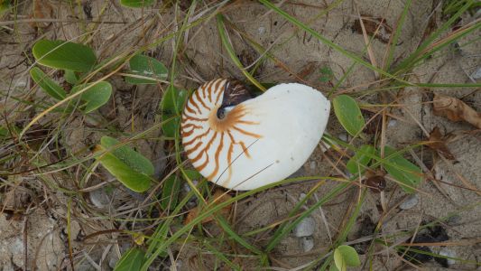
We didn't expect to see a nautilus shell. Must have been
washed up last night. We cleaned it and will keep it, Ali will use it for
drawing practice. They really are a beautiful shape. |
| | | |
 |
|
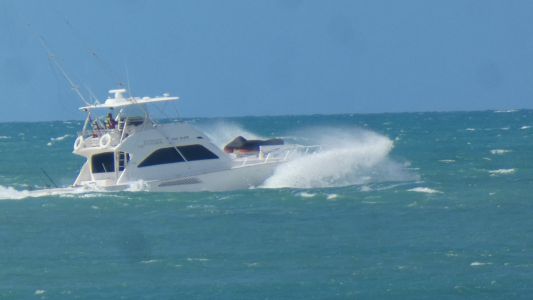
This boat appeared through Albany Passage. We see the end
of Albany Island to our north. Traveling fast. Chasing marlin we think.
Memories of a fishing expedition from Cape Tribulation many years ago. |
| | | |
 |
|
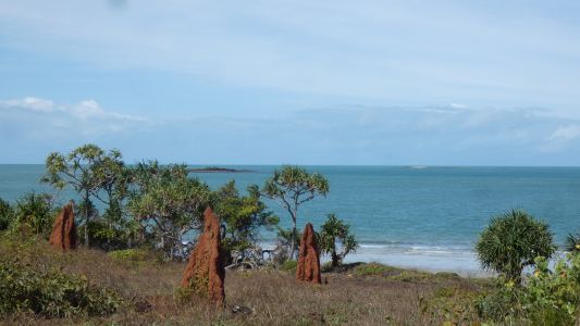
Ulfa Rock is directly out to sea from us, about 1.5km.
Ariel Bank is lower and further out, about 3km. We see the sand on Ariel
Bank when the sun shines and the tide is out, otherwise just a vague line of
breaking waves. We are halfway between moons, nearly a full moon. Neap tides are neither
particularly high or low. Our campsite is safe.
|
| | | |
 |
|
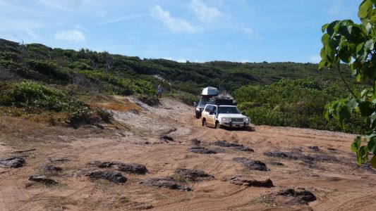
We drove over a small headland to reach our beach. Since
then the sand has been churned up and dried. The driver of the landcruiser
hesitated before the sharp corner and lost his momentum. He's being winched
back. We'll have to decide whether to drive out this way or wait for low
tide to drive around the rocks. We'd either have to rise very early or wait
until late afternoon for safe passage around the rocks. |
| | | |
 |
|
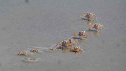
We amuse ourselves watching soldier crabs. When we first
approach they form into large groups and run away from us. The groups become
progressively smaller as individuals at the rear stop and bury themselves.
We haven't seen anything attacking them. Just us annoying them.
I do sometimes wonder how much free will is part of human behaviour. I
suspect there's more to the question than simply "nature or nurture". |
| | | |
 |
|
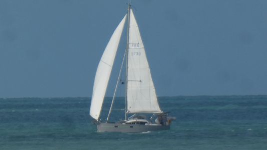
Sail number FRA 9738. There were two catamarans (?) traveling
north that had to tack and took a few hours for a few km to gain entry to Albany Passage.
Very slow progress, the wind just wasn't right for them. The other
catamaran had no sail number, there was a name but a bit illegible at
distance. |
| | | |
 |
|
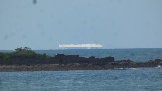
We'll search for "Hercules Leader" when next we have
internet. We think a ro-ro car carrier. It must have come from Malaysia or maybe
even further away in Europe. The route from Japan would be further east. We
last saw a ship like this, though a bit shorter, and two passing, in the
Severn estuary, in January 2012.
We also see container ships and bulk carriers.
They appear from behind Albany Island heading south east, round Wyborn
Reef, then head about due south.
Wyborn Reef has a lighthouse. About 20km from us we can barely see the
light at night. South east of us we can see Turtle Head Island, also about
20km away. |
| | | |
 |
|
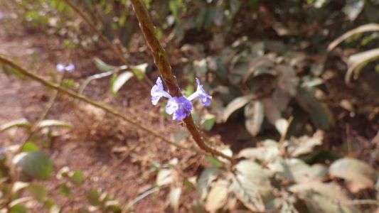
Our daily constitutional. We decided to walk back to
Somerset ruins. The longer we look, the more we see. |
| | | |
 |
|
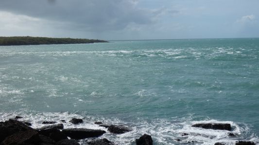
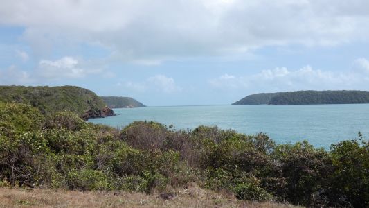
Looking across the mouth of Albany Passage to Albany
Island. Yesterday's catamarans came through here, there's a nice tidal mix, the
yachts would have seen it calmer as they were near low tide.
We nearly camped here when we first arrived. Pleased we didn't, our
beachside residence is much more salubrious and welcoming than this
windswept bit of land. |
| | | |
 |
|
Albany Passage looking north. The big ships go round the
outside. |
| | | |
 |
|
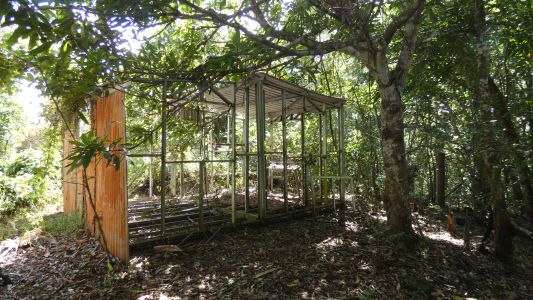
There's a cross, some canons, a memorial to the last
private owner (sold to government in 1948), three aboriginal graves, and a
couple of derelict shacks. This shack has a galvanised steel frame so is
obviously not from the original settlement. We had a brief look for the
Jardine Grave but failed to find it. We also didn't find their well, or the
Freshwater Spring.
We'll have another look on the way out, we'll have the gps and map with
us. Which will tell us there's a track heading north for a few hundred
meters to campsite overlooking Albany Passage and ruins and hopefully rock
art a short walk north. Then we'll feel silly for not looking more closely
at our maps and info.
|
| | | |
 |
|
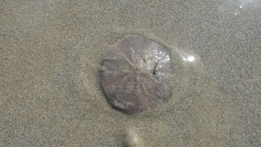
An evening stroll on the beach revealed what has been
making wide short tracks in the sand. Normally covered in sand I tipped this
one over, cleared sand off it, and set it down again. Its about 30mm across
and quite rigid. Its just started moving left to right. It moves very
smoothly, sort of "flowing". The small spiral snail has hitched a lift.
We've seen dead ones washed up, but never live. Now we know. Segmented. A
bit like a cross between a starfish and a sea urchin. |
| | | |
| Somerset to Wroonga Point |
 |
June 16 2019 |
| | | |