We haven't seen anyone for at least 3 days.

It seems they are mainly interested in protecting mangoes. So no mangoes, and other fruit and veggie must be in good condition. Since we'd bought all we had in Weipa it was considered in good condition after inspection.
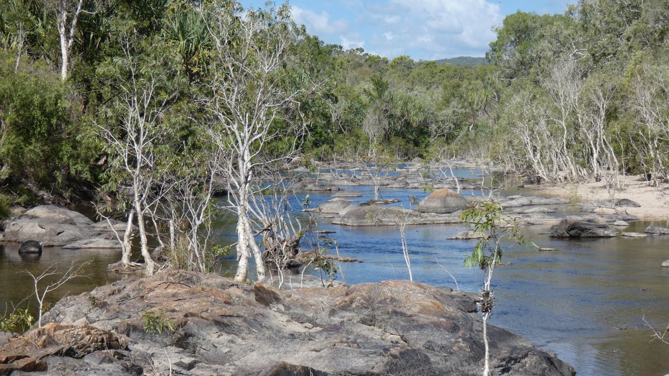
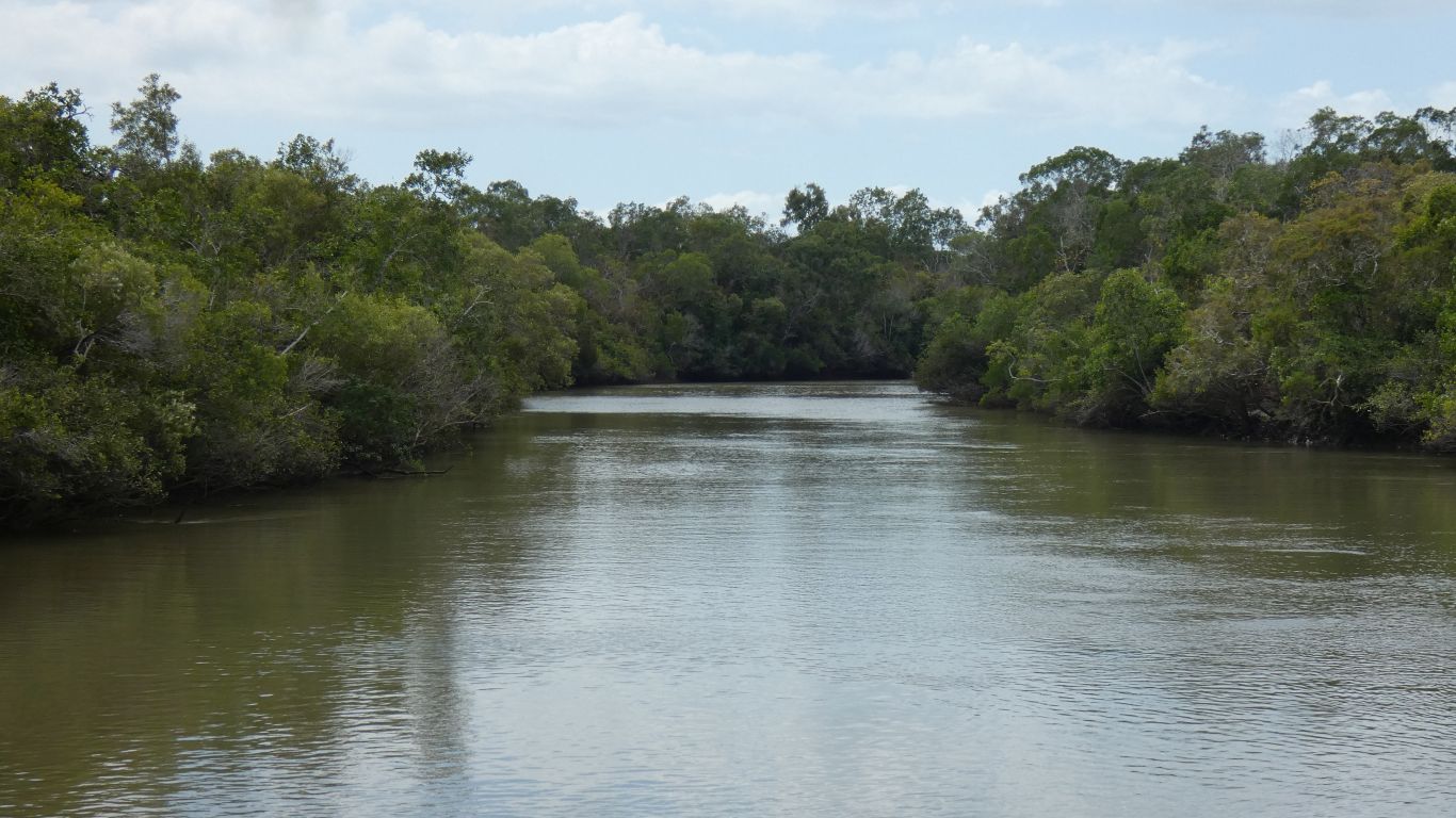
We crossed the river at the ford, coarse sand.
We used the available internet to book campsites in Lakefield National Park.
A worst nightmare as they are difficult to pass. But it pulled over for a rest.
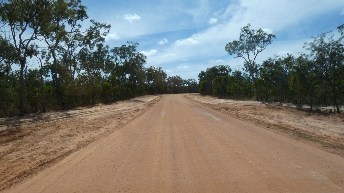
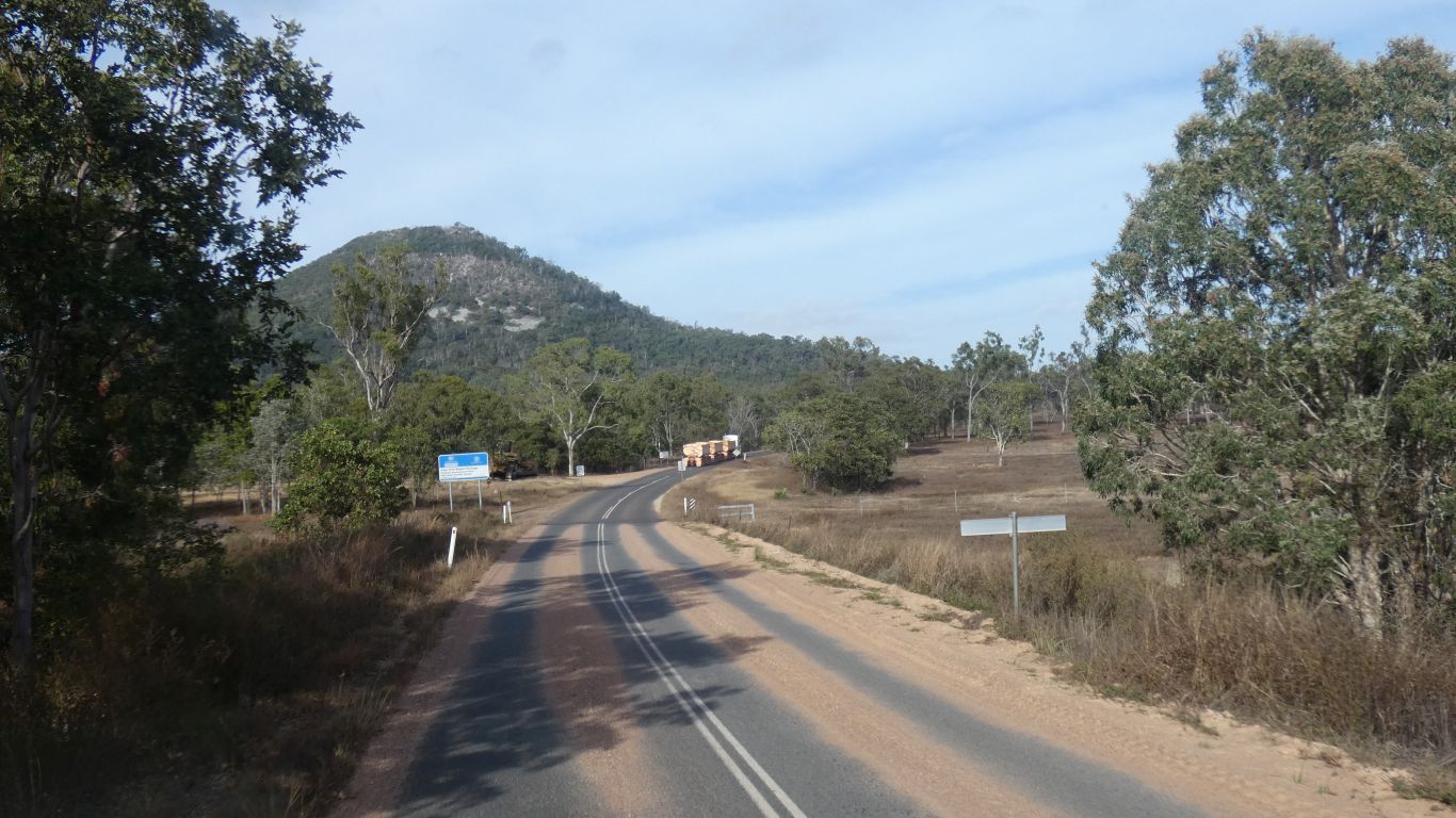
However, when we turned left into Lakefield National Park the road was being upgraded. A smooth run, all the way to the park entrance.
We decided to start in the north west, with two nights at Annie River and work our way slowly south.
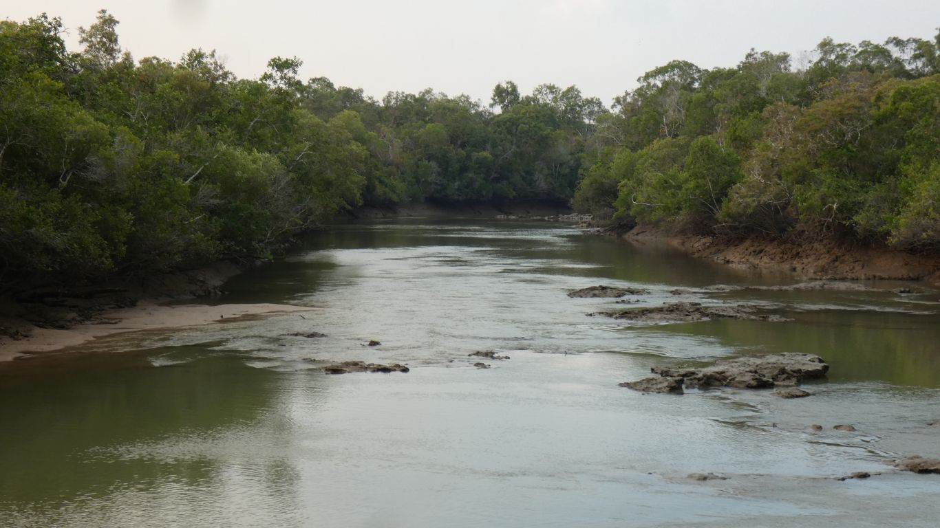
No idea what to expect. The campsite was next to an unformed boat ramp. A couple were launching their boat. The tide was about half, entry was difficult. The exit a couple of hours later was even more difficult, the bank was very steep and muddy. A winch was used for the trailer for both entry and exit - a common procedure.
Not helped by a spring tide that was very low, and then very high at 1am - within 300mm of overflowing the river.
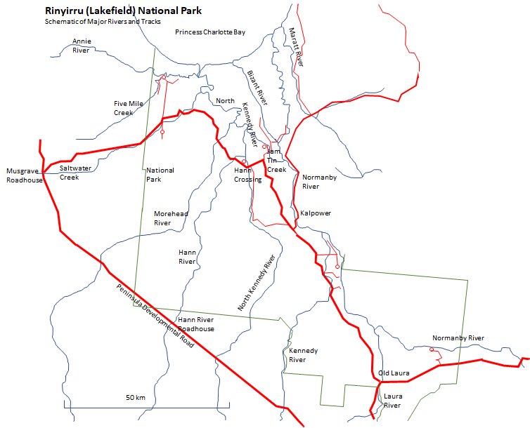
To the west the North Kennedy River is joined by the Hann River, the Morehead River, Saltwater Creek, and finally Annie River.
In the centre is the short Bizant River.
Forming the eastern boundary of the park is the Normanby River, joined by the Laura River and the Kennedy River.
Naturally there's a catch. On maps it looks like Jam Tin Creek provides a channel from the Normanby River to the North Kennedy River. The creek is wide and tidal up to a little past Basin Hole. There is a similar channel from Normanby River to the Bizant River. There's also a couple of branches of the Normanby River (not marked here) that leave the main channel and rejoin a few km later. Dingo Waterhole is on one of those. And where the Laura River meets the Normanby River there's Anabranch Island.
Judging from the height of some of the flood debris we see its quite possible that at times during the wet season most of the park resembles a lake in which land and sea merge - I can find only one 50m contour line between the coast and the Peninsula Road on 1:250,000 maps and that is in the south of the park. I estimate about 10m rise in land level in 50km from the sea.
The main road traverses eastwards to cross the Morehead, Hann and North Kennedy Rivers south of where they are tidal. To confuse us, Hann Crossing is the crossing of the North Kennedy River.
Kalpower Crossing is across the Normanby River and provides access to further east, to Bathurst Head, Wakooka, and Cape Melville National Park along Wakooka Road, eventually to Cooktown.
The main road heads south east, nore or less parallel to the Normanby River then south, parallel to the Laura River to Old Laura where it meets Battlecamp Road.
We now know that what is euphemistically called a battle was what I would call a massacre, in which Aboriginal and Pastoralist confirmed that its easier to kill someone with a gun than a spear.
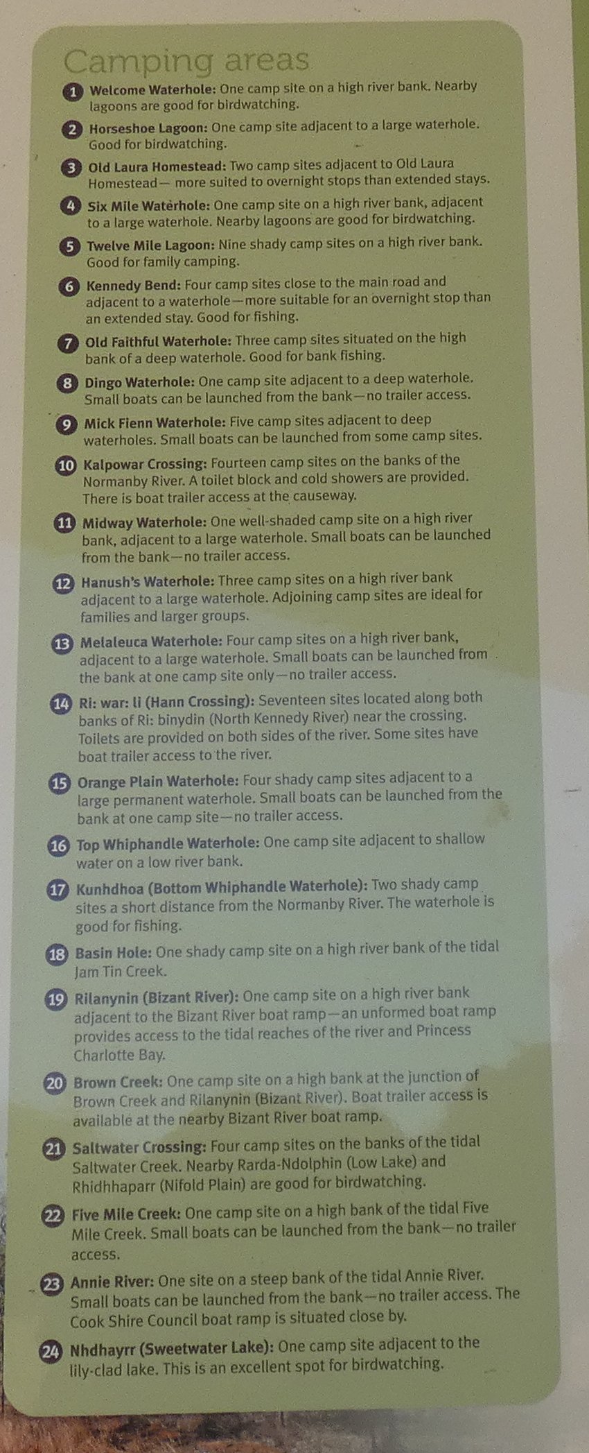
This is a pic from the info board at Lakefield Ranger Station. Its summary information about all the camping areas that I couldn't find (not that its not there!) on the national parks website.
Certainly such snippets as "bird watching" and "fishing" would have saved me a lot of effort.
There's a bit of a mismatch between information posted in the middle of the park and the requirement to pre-book all sites using internet or phone, neither of which are readily available in the park. Apparently there's a terminal at Lakefield Ranger Base .... durrr.
There's another piece of the puzzle which may be useful to some, a couple of typed pages stuck to a notice board underneath the Old Laura Station building - a list covering the whole of Cape York of ways, such as agents, or internet terminals, or public phones, or mobile phone, and places whereby campsites can be booked.
We entered the park from the north, maps are conventionally drawn with north at the top, the list starts from the south. Turning it upside down meant I couldn't read it. We collectively have so much to learn about the presentation of information.
There's also a couple of typed pages of info at New Laura and Old Laura describing how and where campsite bookings can be made - agent, public phone, mobile phone, terminal in park office - for the whole of Cape York. Its not a very long list.
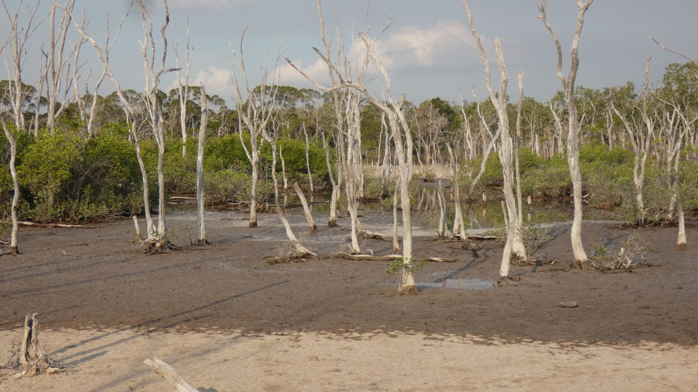
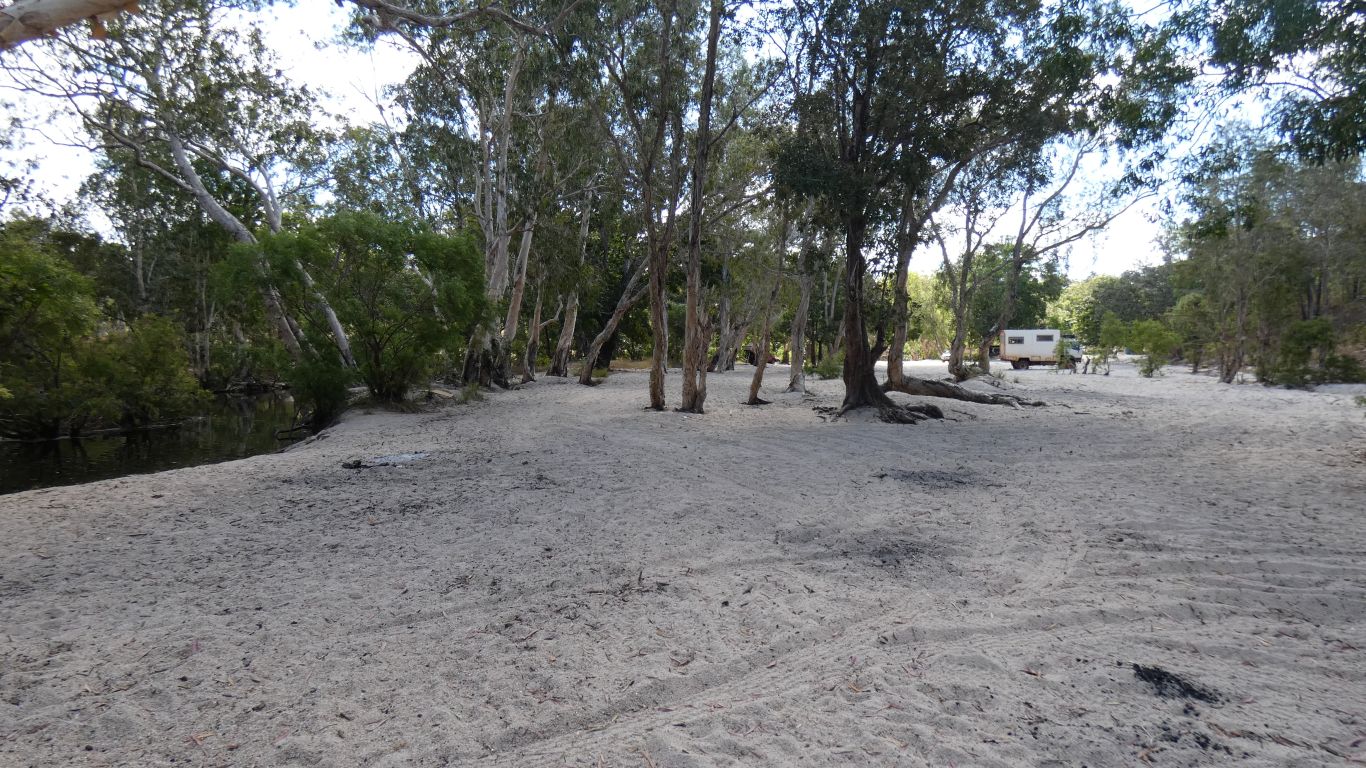
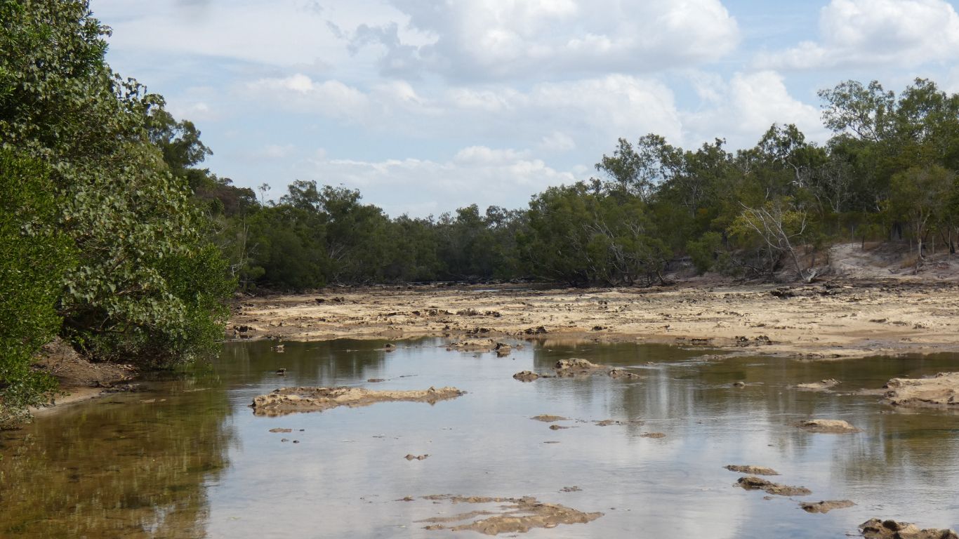
We guess salt water has killed the paperbarks and the mangroves are encroaching. The dark patch is the limit of last night's tide.
Cape York, for us, has been without biting insects, apart from the green ants.
This little area changed that. Vaguely aware we were being eaten by things we couldn't see.The two days of itching started a few hours later.
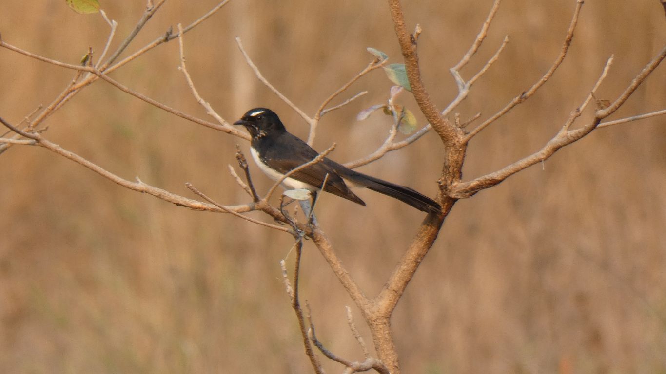
Perhaps there's a connection between midges and wagtails - though any statistician will remind us that correlation isn't causation.
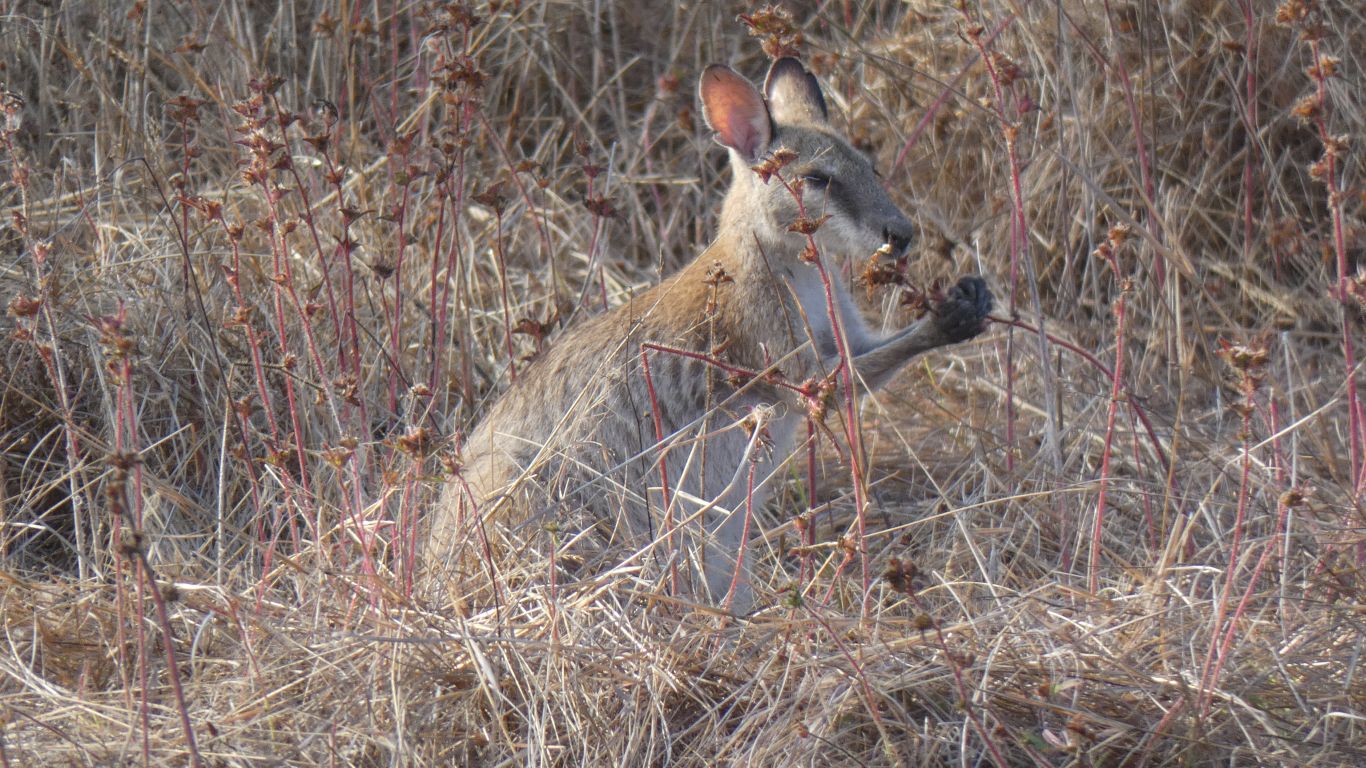
Somewhere we've read that there are 4 species of kangaroo and 3 species of wallaroo (which we suspect used to be euro). We thought it much more complicated. Maybe we should also think about wallabies, and even smaller hoppy-things.