Or so the story goes ....
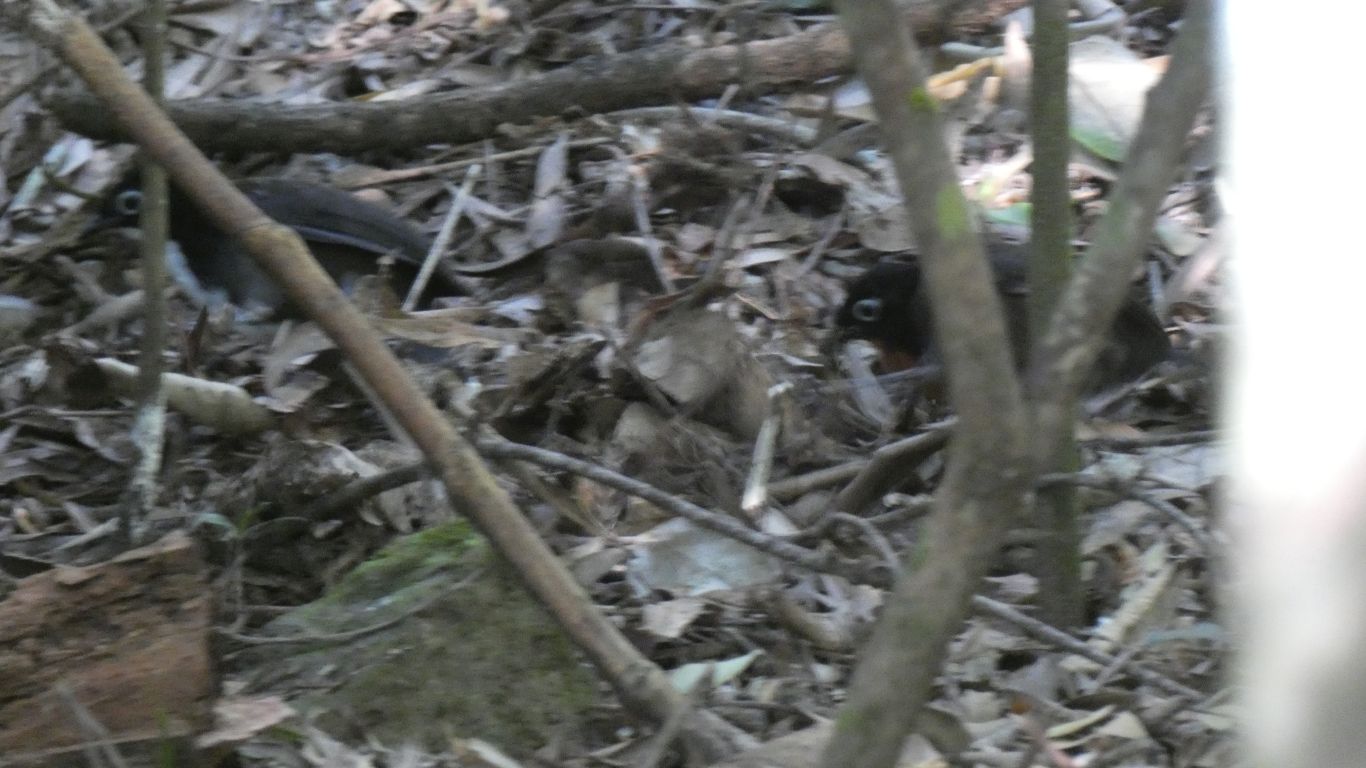
They are bigger than chickens, rummaging in the leaf litter. We don't know if they are the young of something bigger or just little ground dwelling birds.
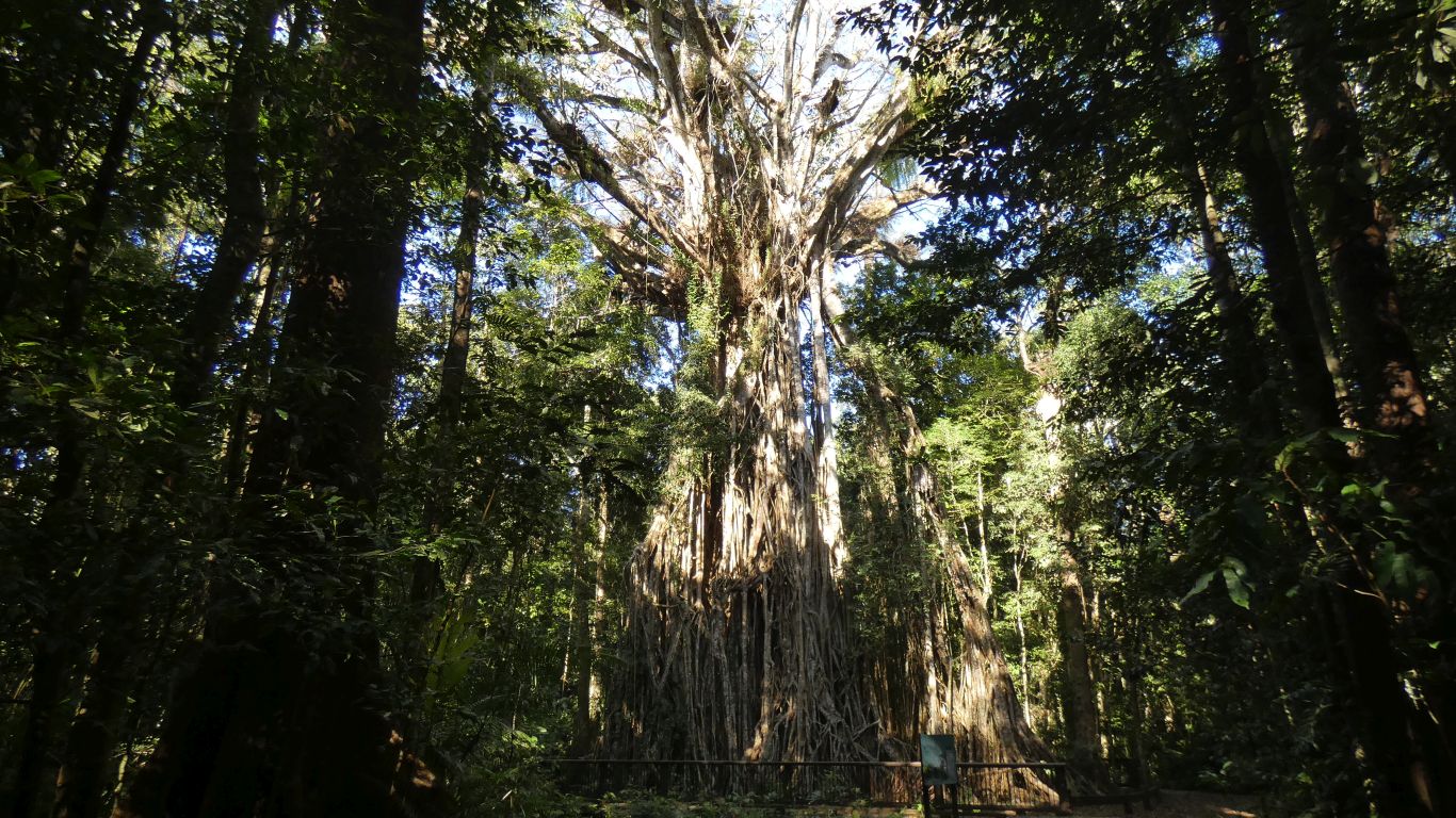
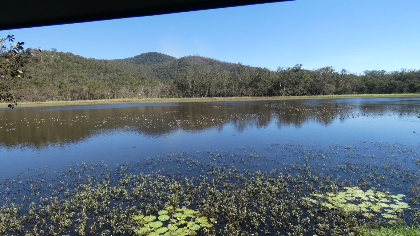
One wonders what the forest around it was like in its original state.
Its a magnificent tree. The original tree, the one it strangled, is long gone.
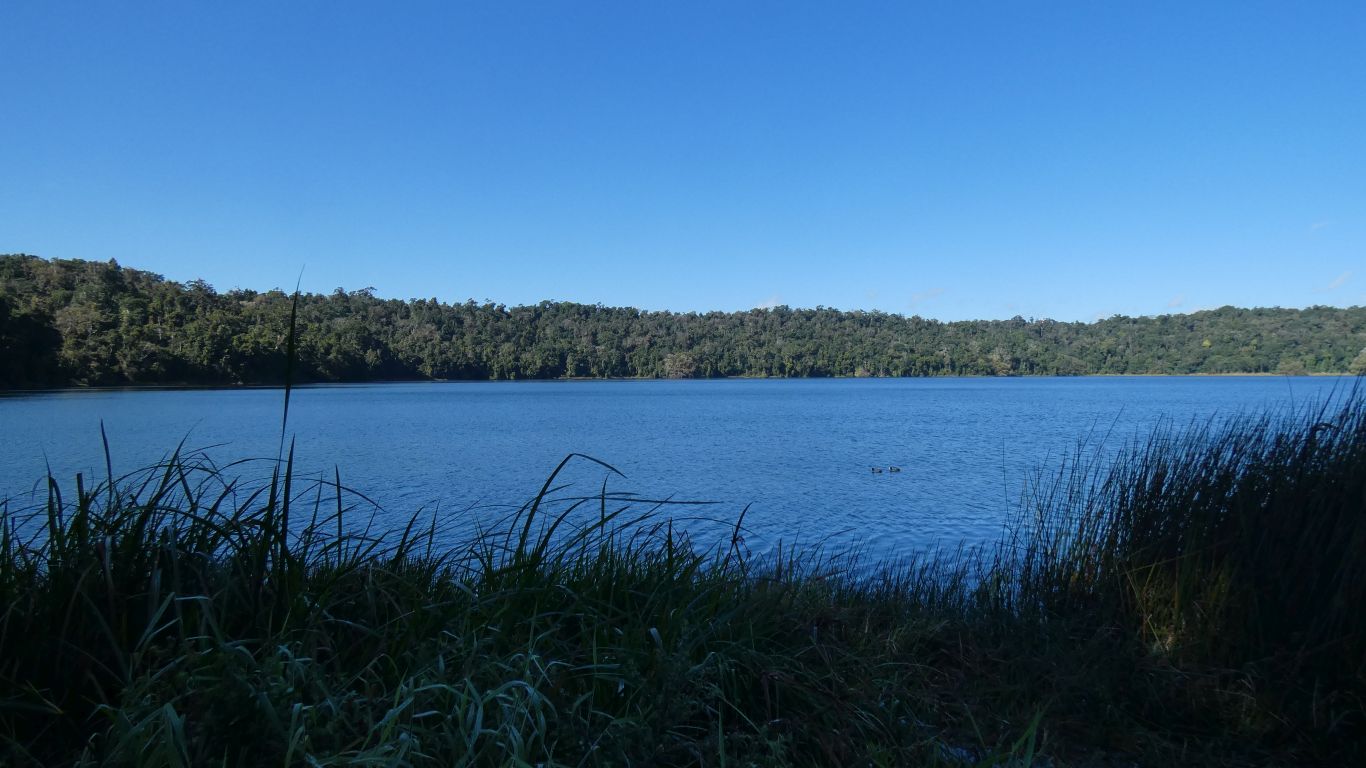
When lava met water the explosion created the crater.
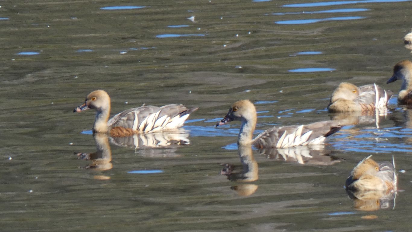
Plumed Whistling Ducks.
Even before we ascended the stairs we talked to a serious bird photographer who was very excited to have caught an indistinguishable picture of a Gerygone. He knew where the nest was, but I couldn't see it for looking, let alone see the bird.
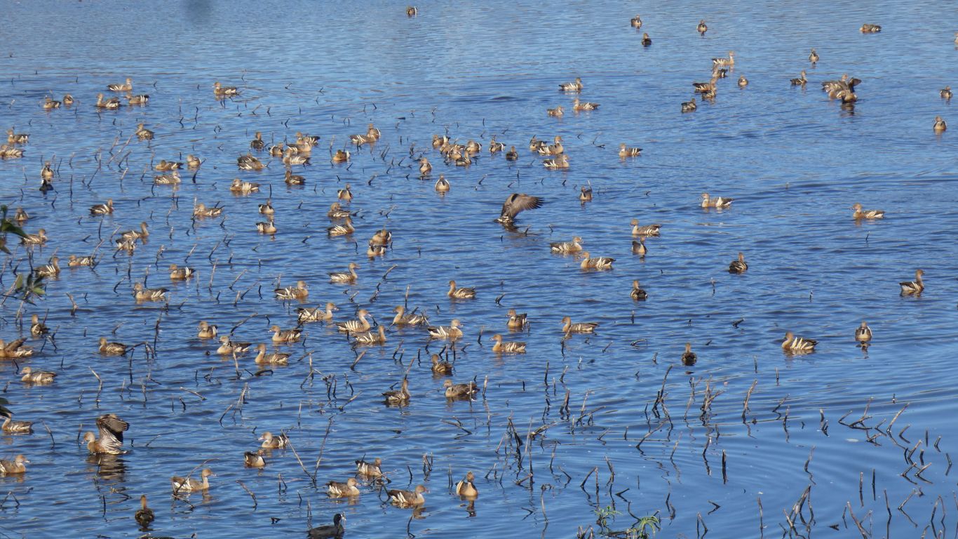
We were somewhat overwhelmed by the number of birds. Apparently there are sometimes more.
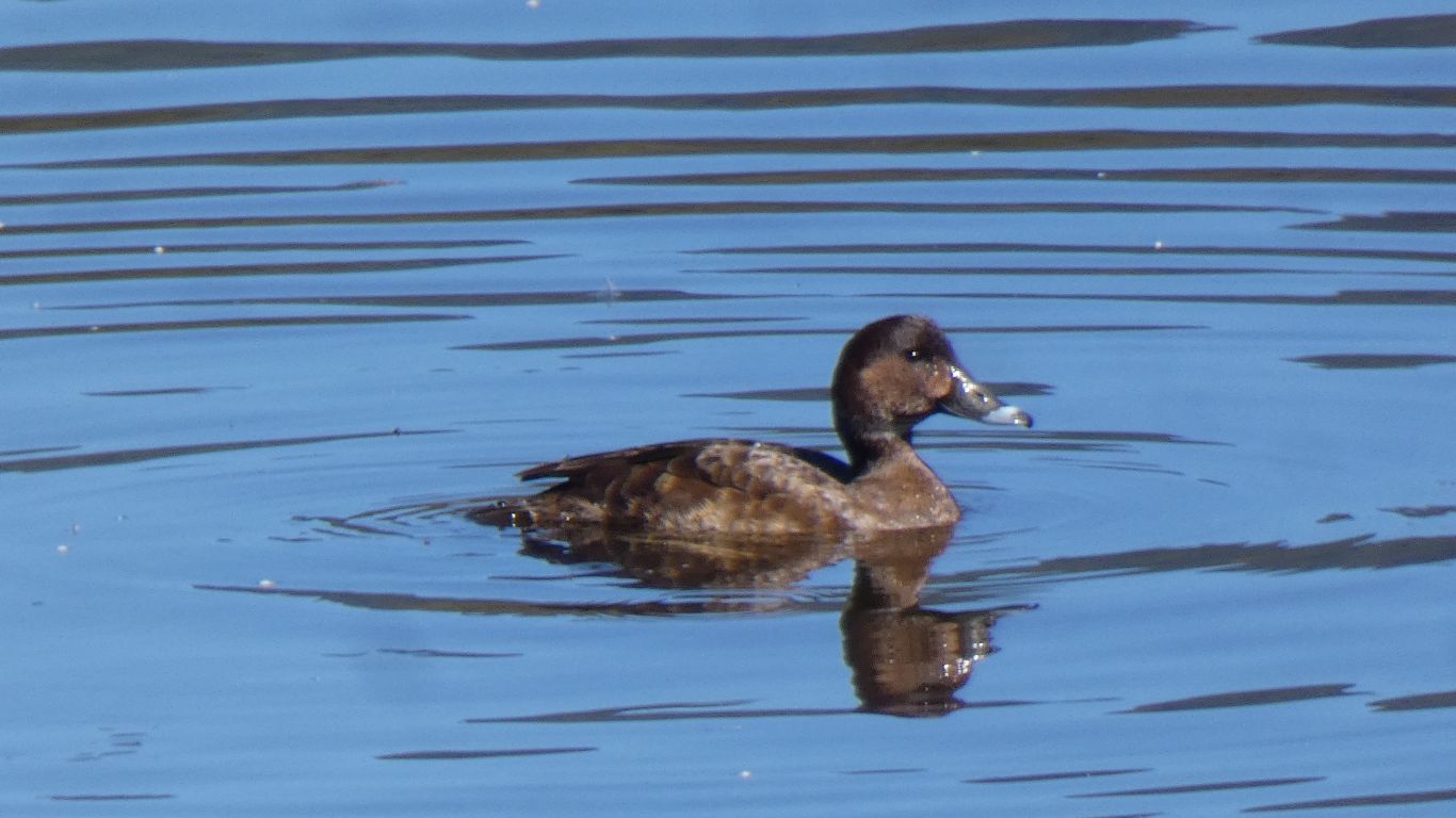
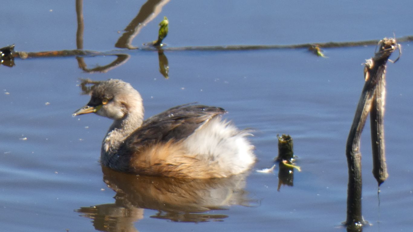
To further confuse us, the display in the bird hide refers to it as a Hardhead. We don't know how the hardness of the head was ascertained but we know that yet again we fall foul (or should that be fowl?) of the many variations in names for the same bird.
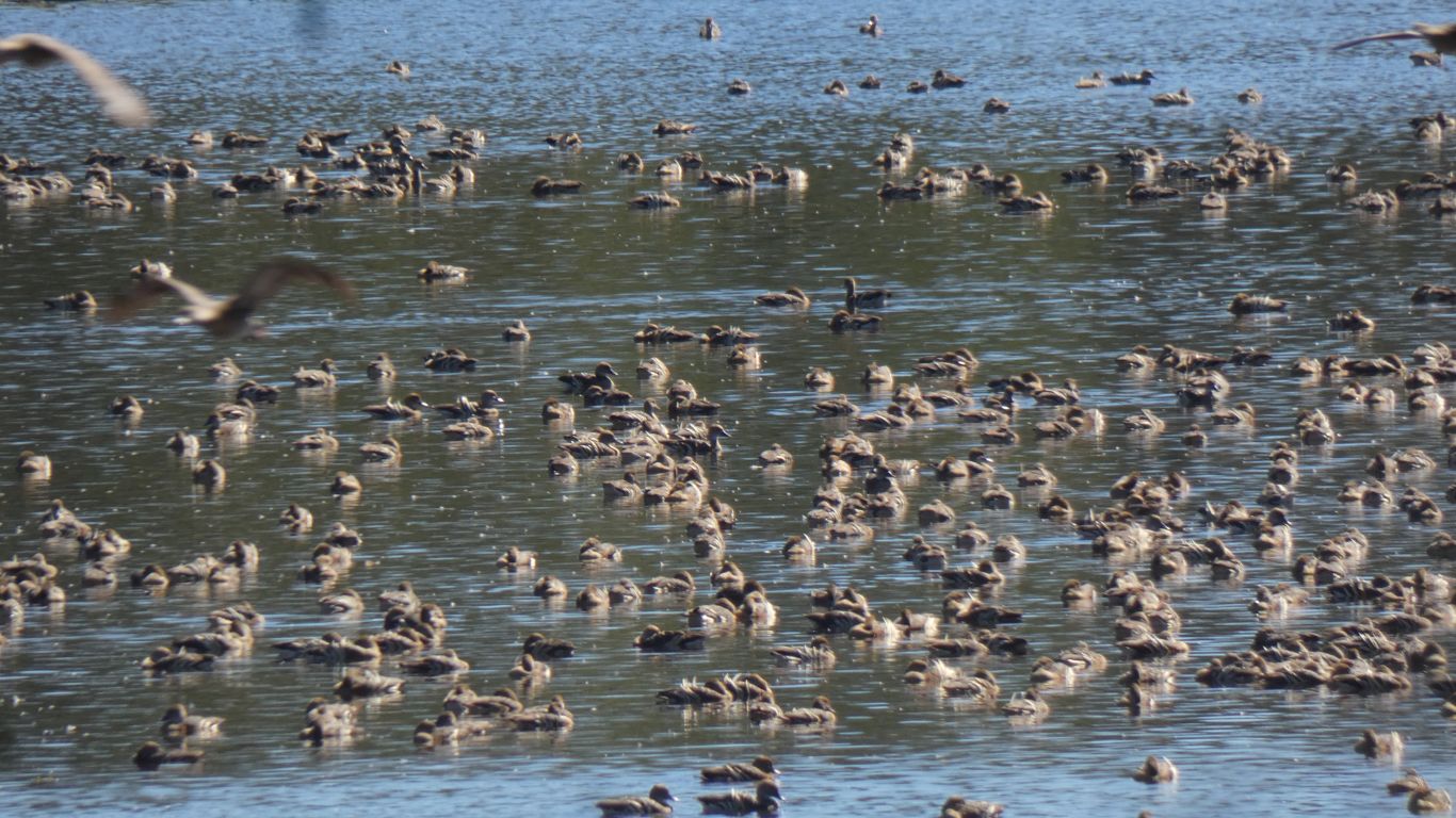
Having seen Plumed Whistling Ducks resting at the edge of lakes, and flying when disturbed, we see this larger number resting (many of them look asleep with heads under wings) on the water. The space on the land is at a premium and very crowded with just as many ducks as will fit on the small space.
We wonder if we are looking at younger ducks, they look smaller but that may be distance.

While the bird book describes them as common we were quietly pleased when the other person occupying the top floor of the bird hide seemed as keen as we were to take the perfect bird photograph.
To expand on the confusion within Australian bird names it is alternately called Cutthroat, Golden-Breasted or White-Throated or Yellow-Breasted Whistler, Thickhead (to presumably complement the Hardhead), Ring-coachie, Thunderbird or Whipbird. What chance do we have?
I can assure anyone who is willing to listen that it doesn't look at all like the Eastern or Western Whipbird.
It appears that armed only with our bird book we will remain in a state of ignorance for many years to come. Which is perhaps fortunate, we cannot imagine having reached the end of learning in any realm.
Apart from which ....... what beautiful colours.
On the way north we passed through Mount Garnet from the west and headed directly north to Petford. Now we have arrived from the east and headed south.
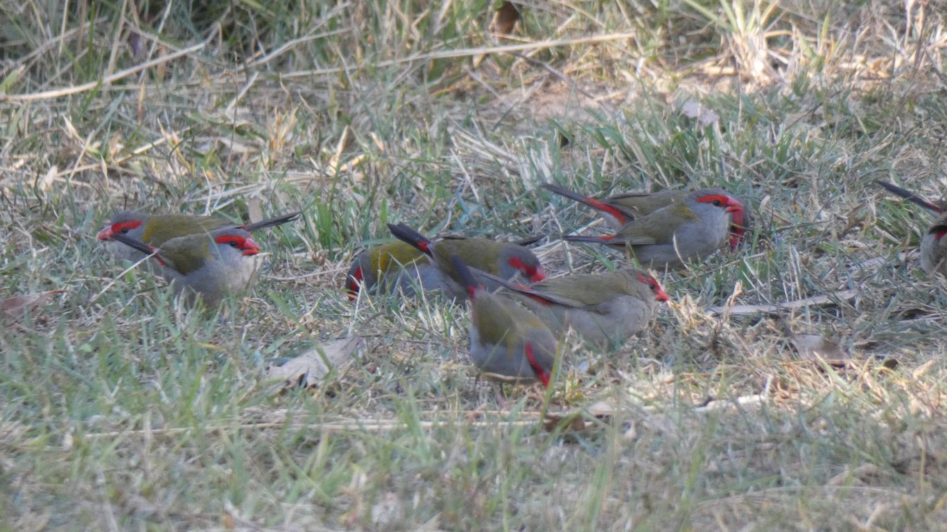
Delightful to watch. They fly down to the ground and hunt around for seeds. Then something disturbs them (I don't think me) and they flit rapidly into the bushes. Almost impossible for me to see. Then a few minutes later they fly back to the ground.
We also see young, that don't have the red brow.
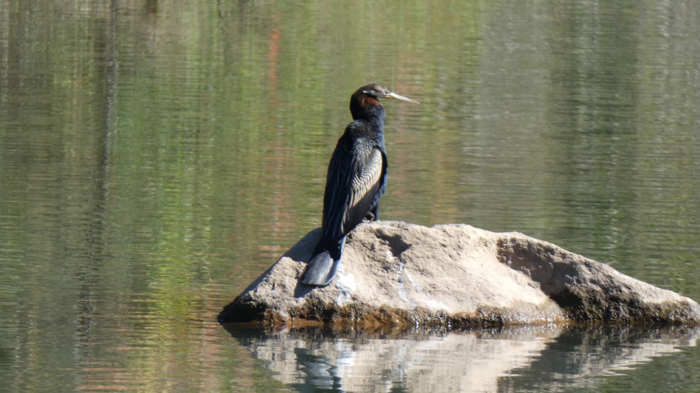
We wonder at its tail. It looks solid, which reminds us to look for platypus.
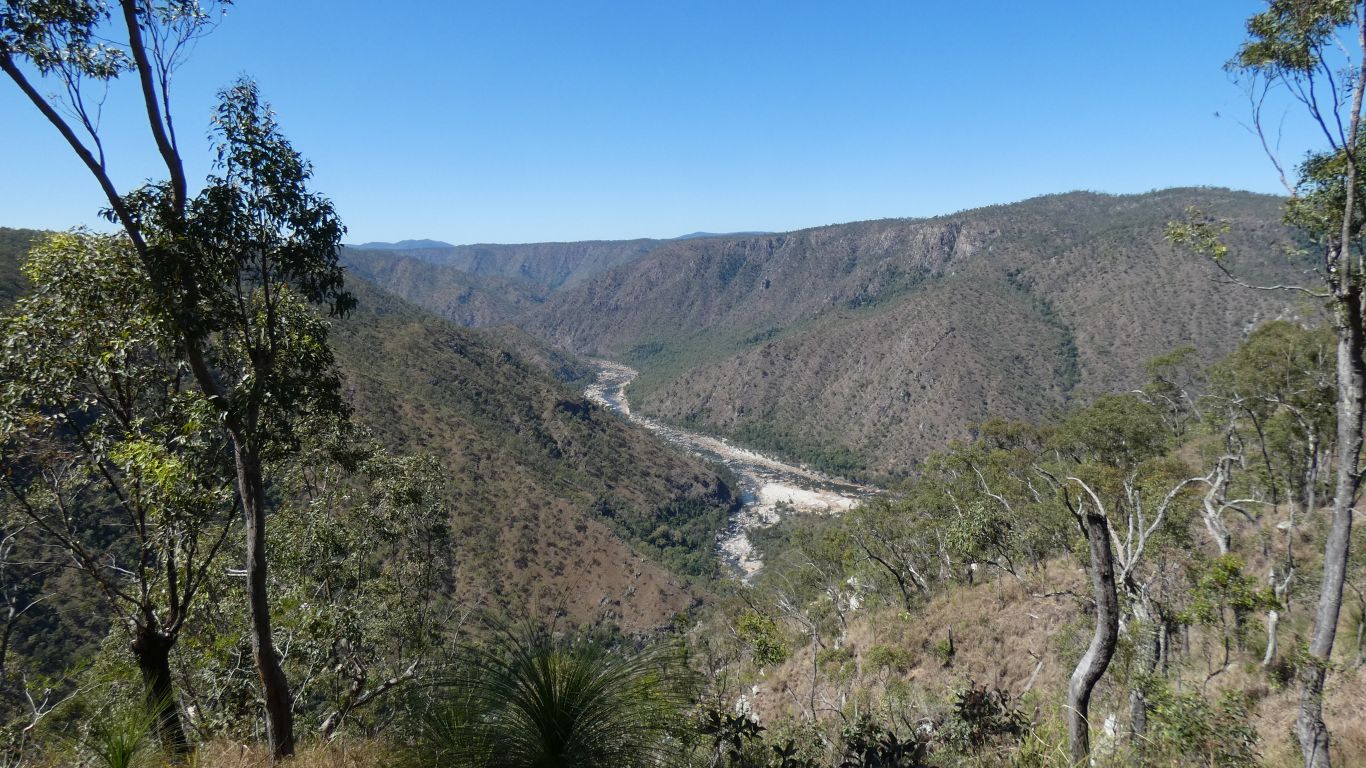
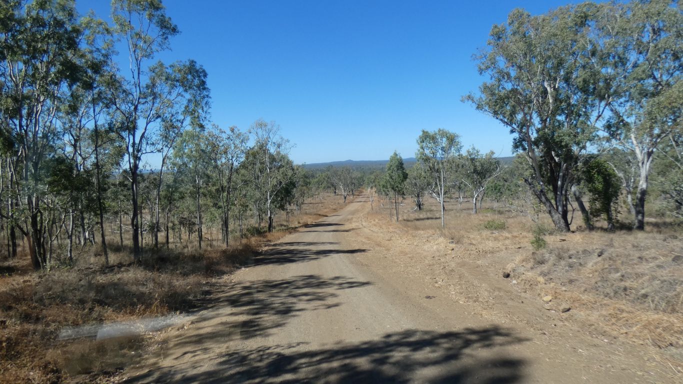
Judging from the contours on our 1:250,000 maps we are on a rolling plain with the gorge cut through.
We will have to drive further east before we start our descent to the coast. We are currently at around 600m, while the coast is ..... at 0m.
The landscape reminds us of the Great Dividing Range in northern New South Wales, around Guy Fawkes River. To some extent our route south is trying to emulate our last Christmas route south following the Dividing Range. We are suffering the same difficulty of roads mostly east-west while we wish to travel south.
Judging by the number of Scottish sounding station names we passed, a lot of "Glen Something" we suspect the naming of Blencoe Creek may be due to someone's sense of humour or a simple misspelling. A bit catchy now we are used to it.
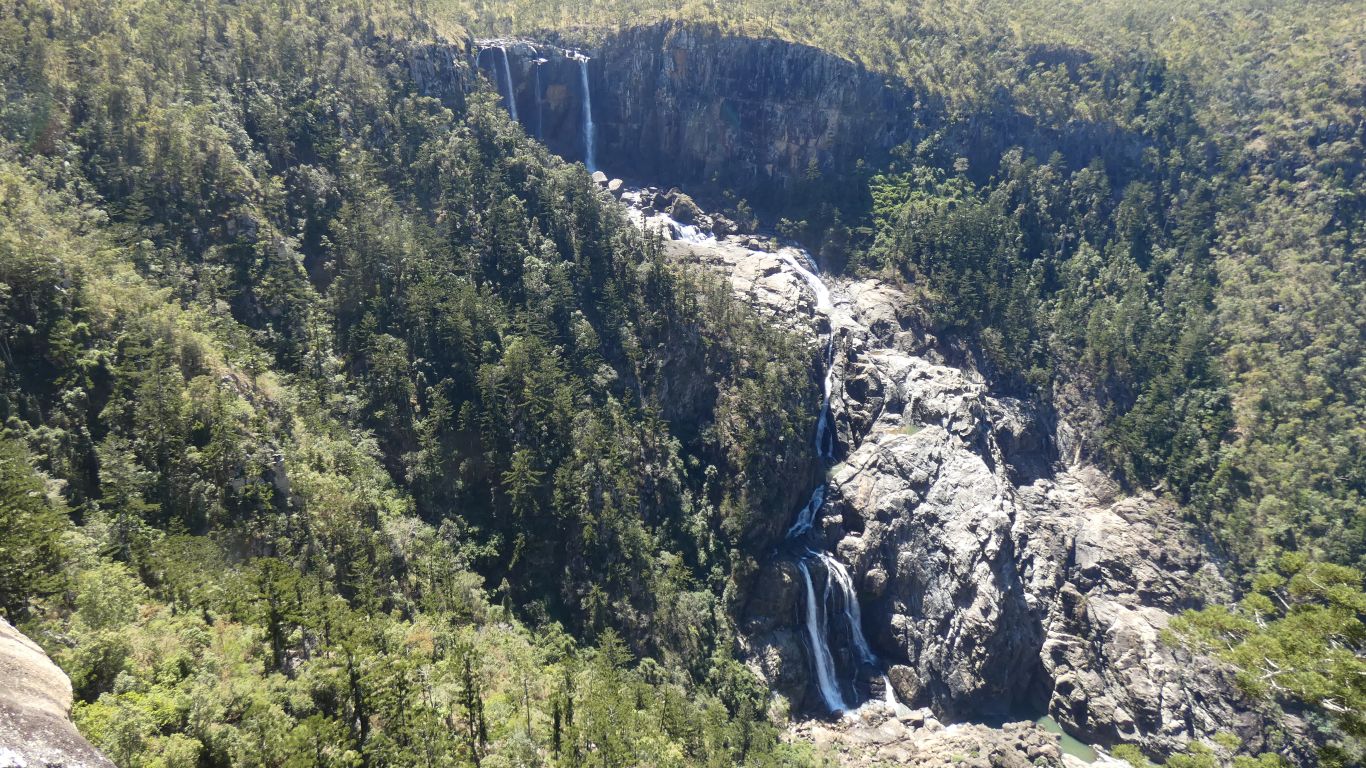
The dominant trees around the waterfall are Hoop Pines. Very different to the Eucalypt on the plateau.
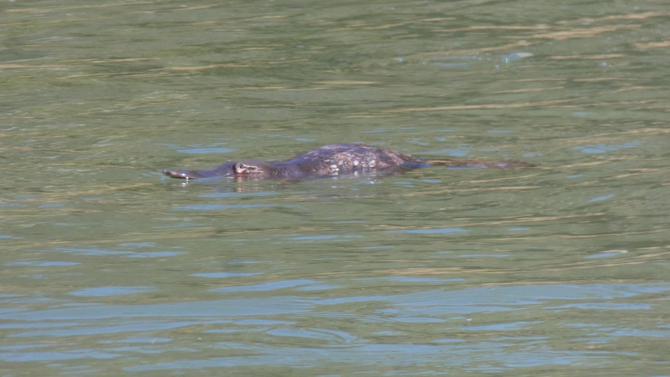
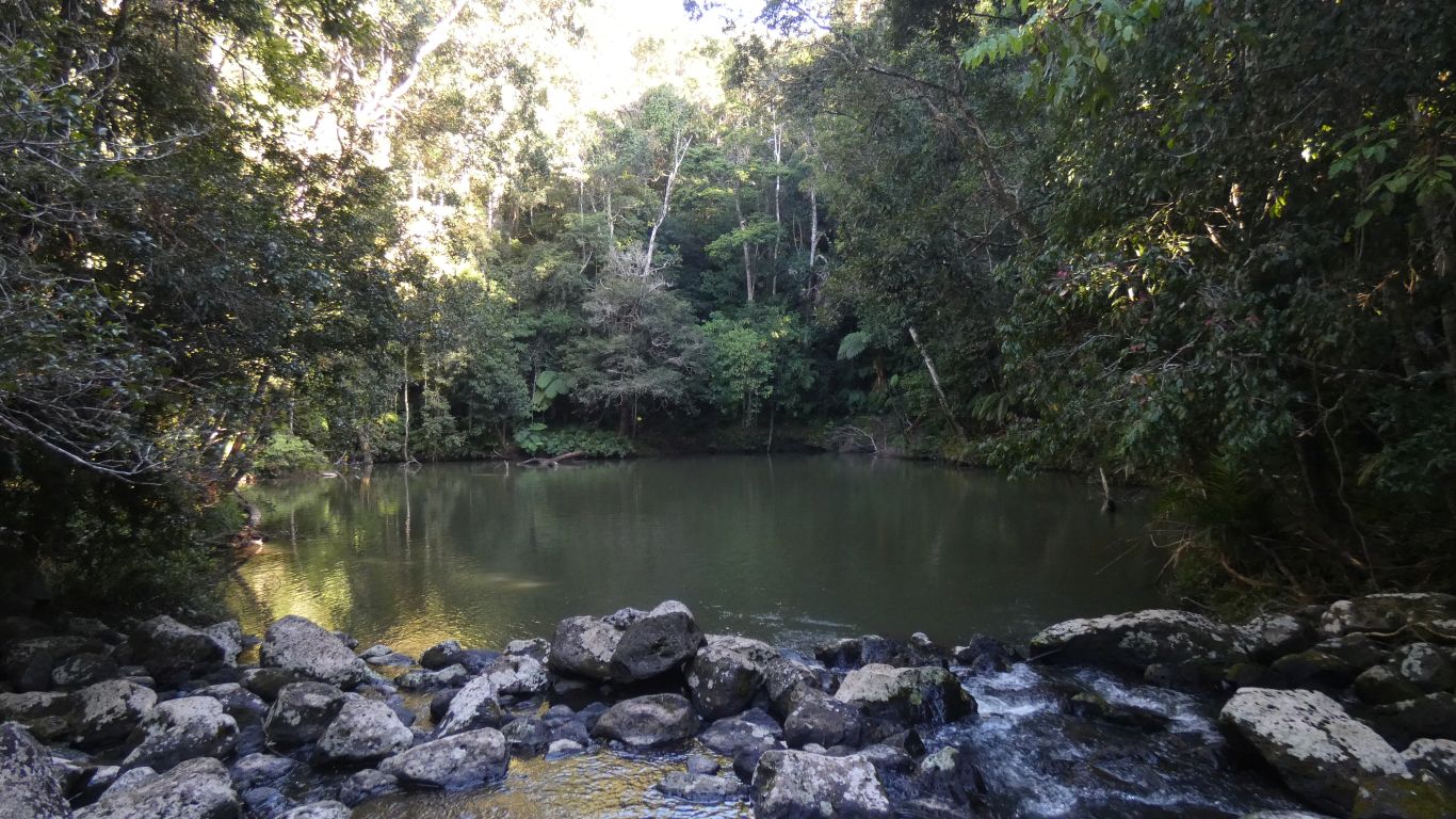
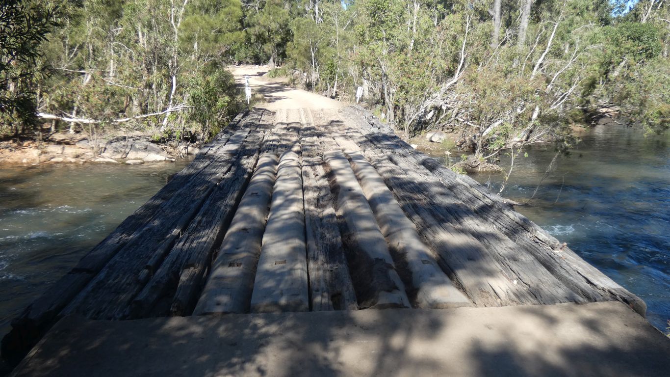
On the way back we spotted a couple in the pool just below the bridge (earlier pic).
Keep the zoom wide, wait for one to surface, take a pic, zoom in, take another pic, hope its in focus.
This one moderately so.
The platypus ignored us. We, on the other hand, were totally captive. They are remarkable creatures. Captive, even though they are in the middle of the pond and we only see them on the surface.
Not quite so lucky with the platypus in the pool where we are camped. At dawn, the small movement of raising the camera was enough to startle it. A rapid dive and not to be seen for a few hours. More caution required tomorrow morning!
Its about 40 years since I last saw a platypus in the wild. I still have the pic, but its not as clear as this one. Camera technology has changed more than a bit. Coincidentally in Eungella National Park, a meagre 450km south east of us, in similar landscape.