| |
|
|
| Burdekin River - Mt Fox to Fletcher Creek |
 |
August 27 - 28 2019 |
| |
|
|
 |
|
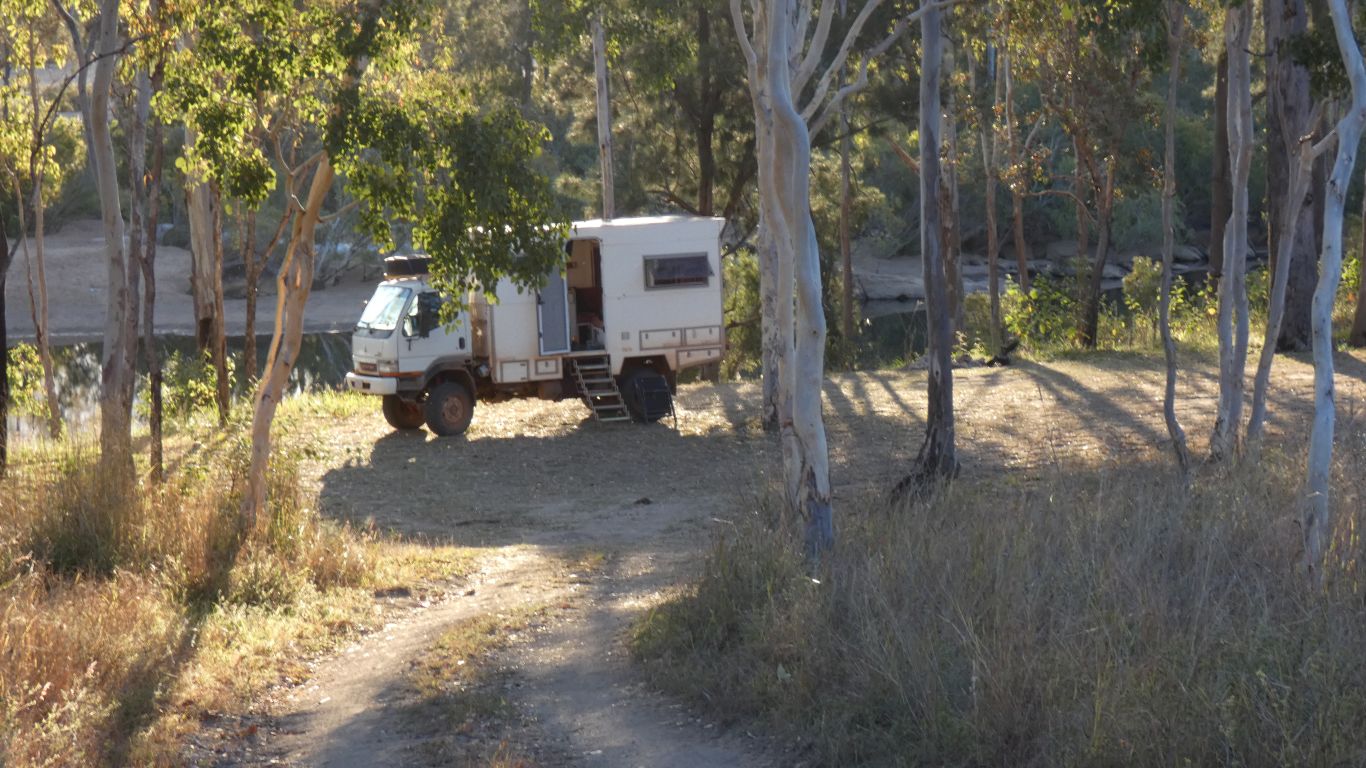
Last pic of the evening. Relaxed after the effort of
visiting the falls. |
| | | |
 |
|
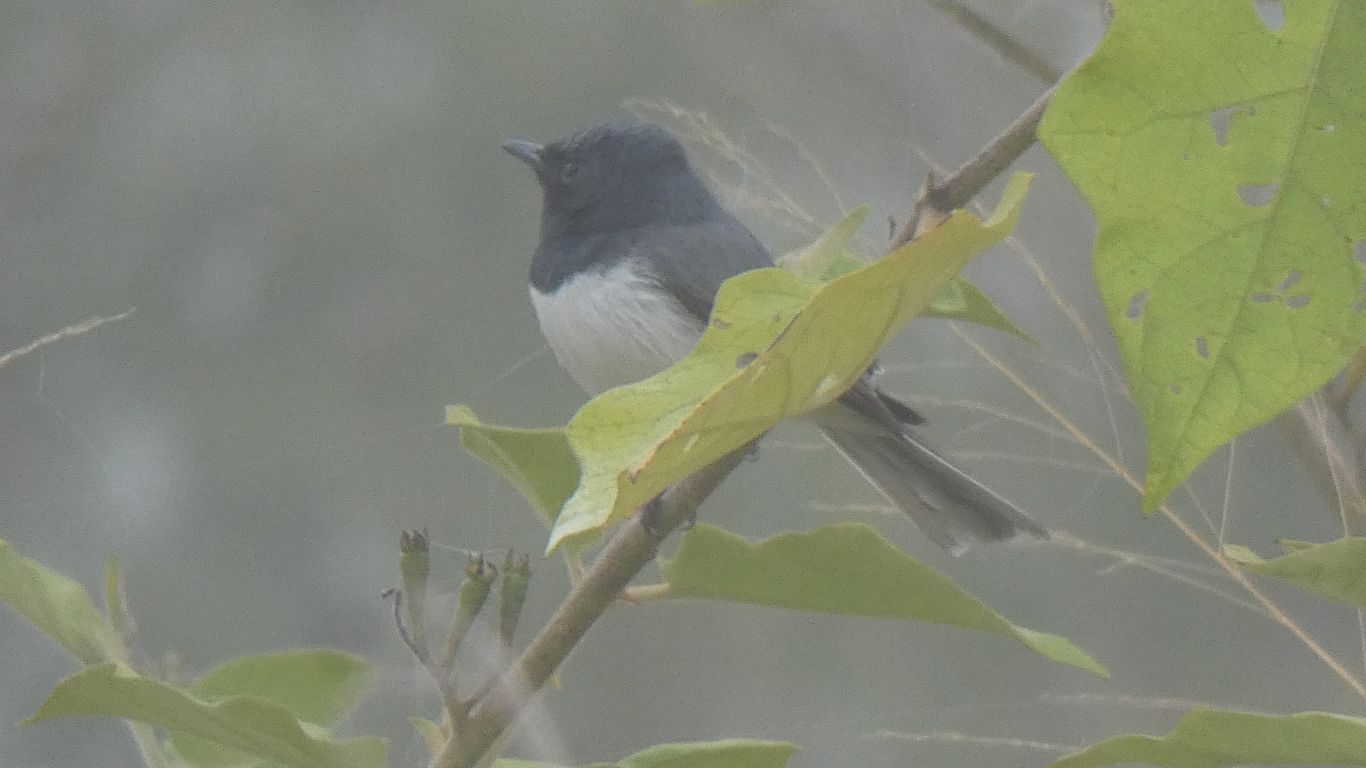
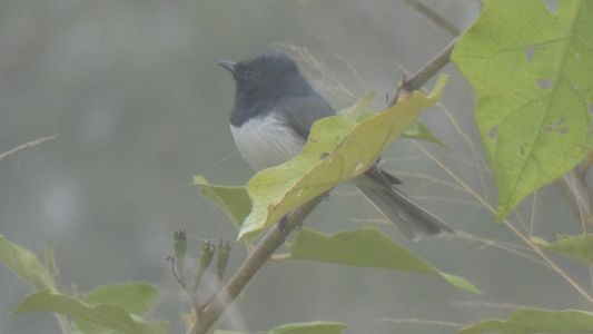
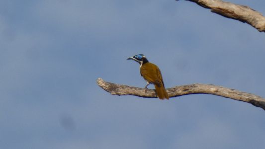
Another early rise the next morning. Mist across the river.
And a visit from a Satin Flycatcher. We began seeing wagtails a few
campsites ago, having missed them through most of our Cape York campsites.
We think we are better now at recognising the different behaviour of
wagtails and other flycatchers. |
| | | |
 |
|
The next major river south is the Burdekin. For the next
few days we'll vaguely follow it. First we have to leave the Herbert
River. We head a little west, leave the mountains and foothills, then head
south. |
| | | |
 |
|
Wairuna Station looked idyllic with its own lagoon. We are
not far from Valley of Lagoons but we feel our trip is coming to an end and
are generally heading for home. The lagoons are on the course of the
Burdekin River. |
| | | |
 |
|
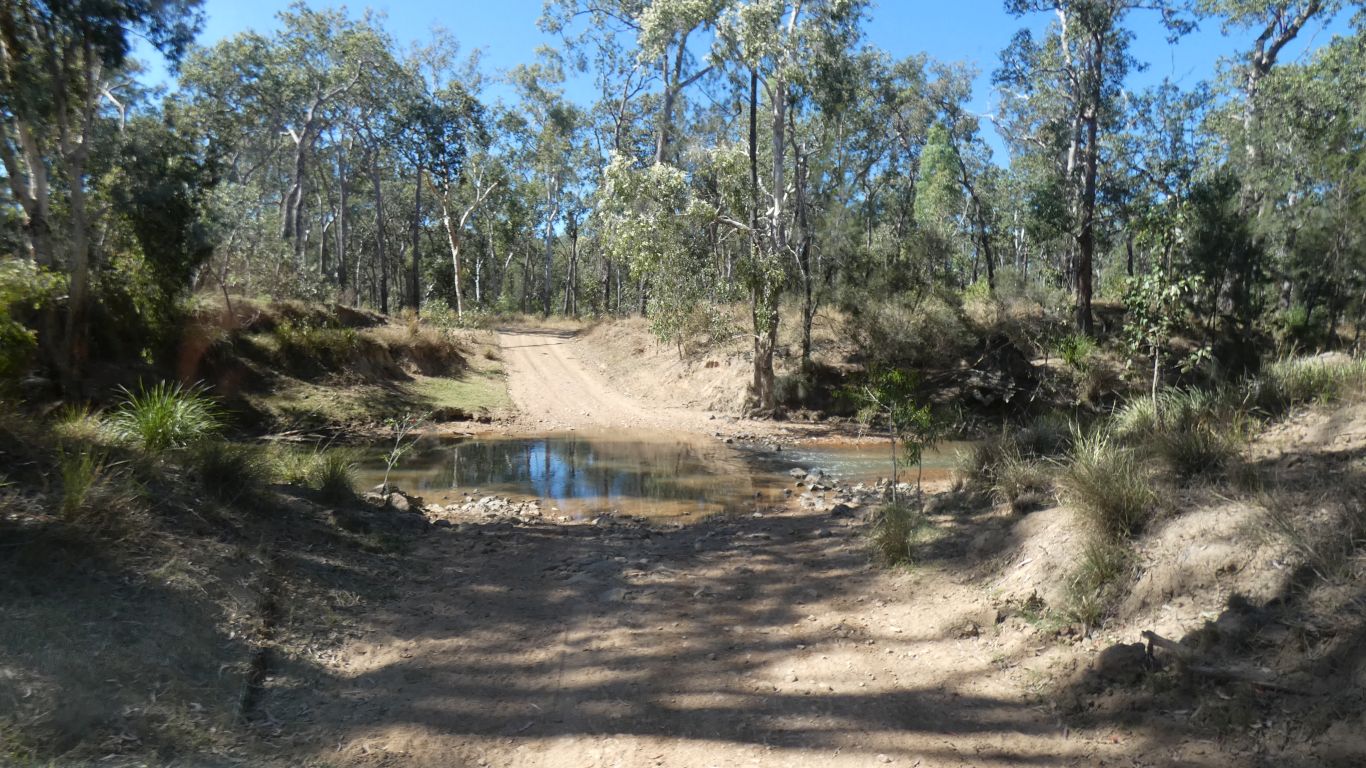
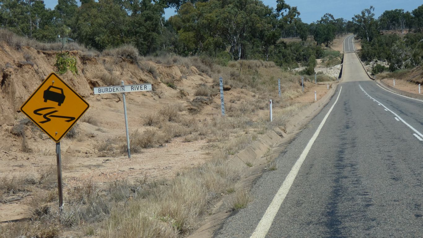
Our first contact with the Burdekin, just south of Wiruna.
We cross it. I had been a bit concerned as to whether we would be able to
cross such a big river on this small road as I could find no evidence of
bridges. Looks like I should not have been concerned. We cross several
channels, this was the deepest .... |
| | | |
 |
|
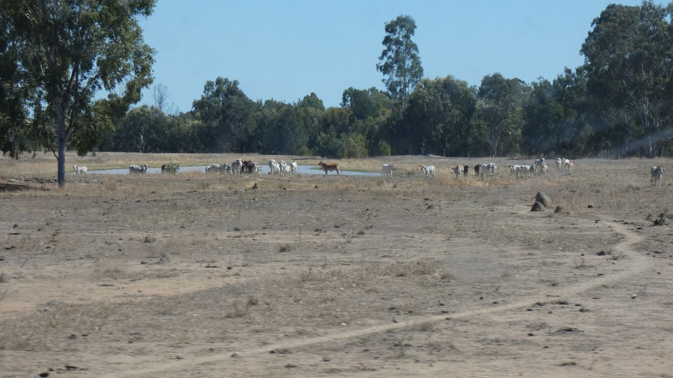
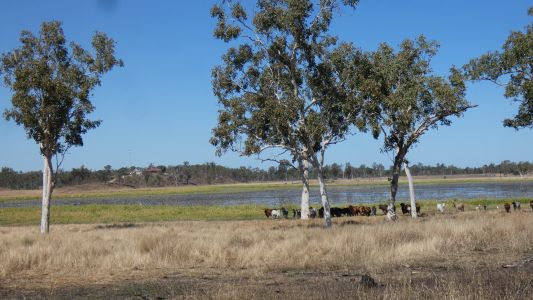
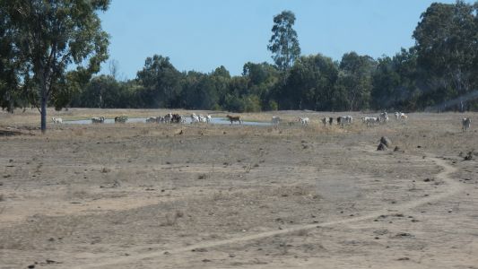
Out on the plains, lots of cattle. |
| | | |
 |
|
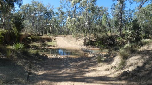
The road is small but relatively easy going. We cross many
creeks on those grid bridges. |
| | | |
 |
|
We can see the coastal ranges in the distance. We are
between the coastal ranges and the Great Dividing Range. |
| | | |
 |
|
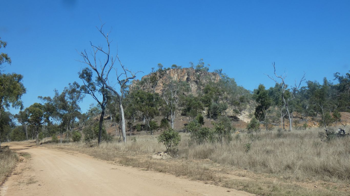
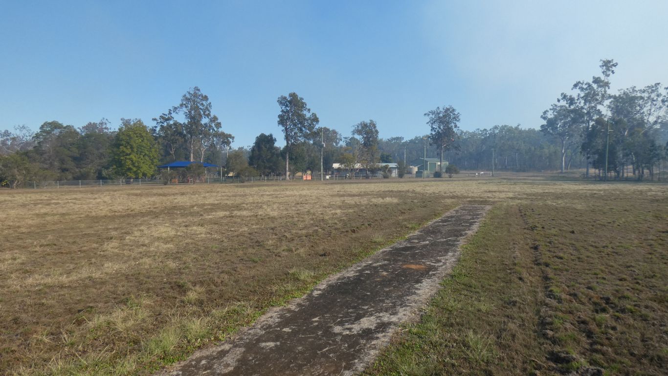
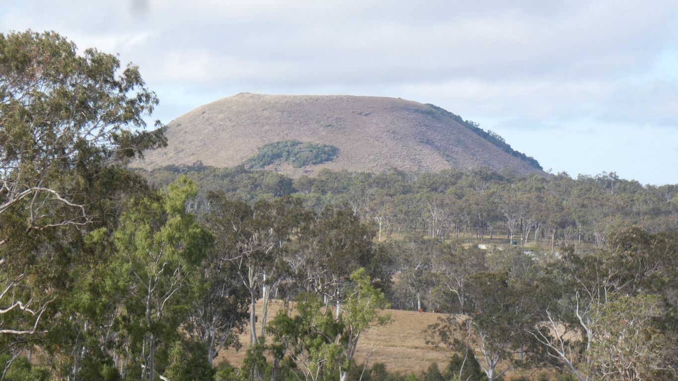
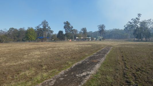
Mt Fox Primary School. We are camped opposite, a site
maintained by the local fire brigade. This is the cricket wicket. A
pleasant spot to spend the night.
Mt Fox is nestled near the coastal mountains. Much greener than the river
plain. |
| | | |
 |
|
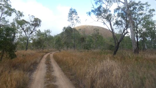
Its an old volcano. A small one. But nevertheless, a
volcano. |
| | | |
 |
|
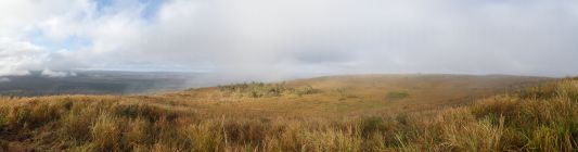
We decide to walk up next mrning. Misty at the top.
There's probably been a lake up here, but has eroded the side and drained. |
| | | |
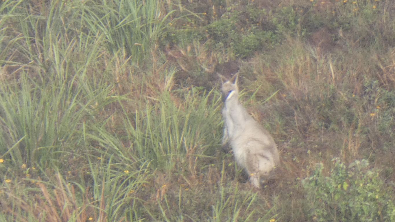
 |
|
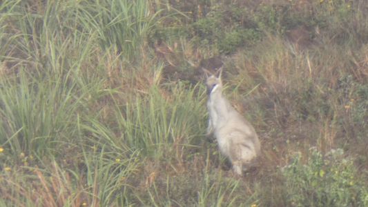
The sole occupant, that we can see, is on the far side of
the crater. We think a Wallaroo. Something about its face ... |
| | | |
 |
|
About 40 degree slope. A hard slog up, as whoever made the
walking track walked straight up instead of zig-zag or a traverse. It was
equally hard descending. |
| | | |
 |
|
Though we were serenaded. Very tuneful. |
| | | |
 |
|
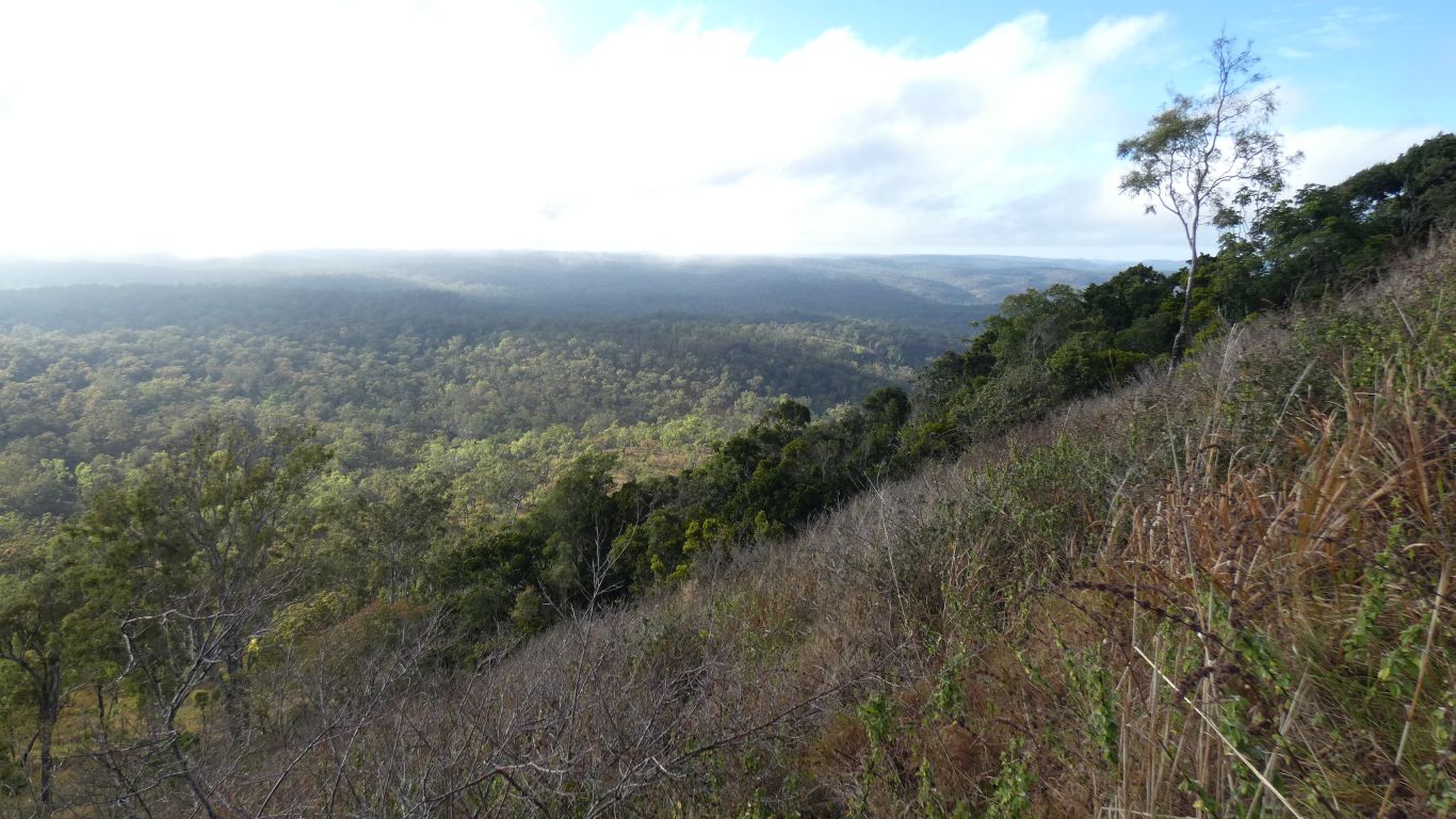
The crater is visible from most sides. |
| | | |
 |
|
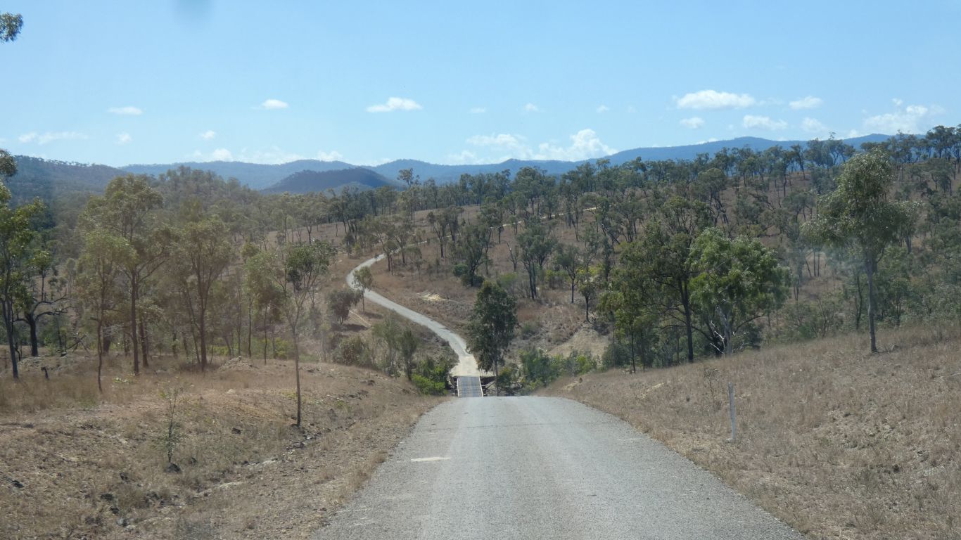
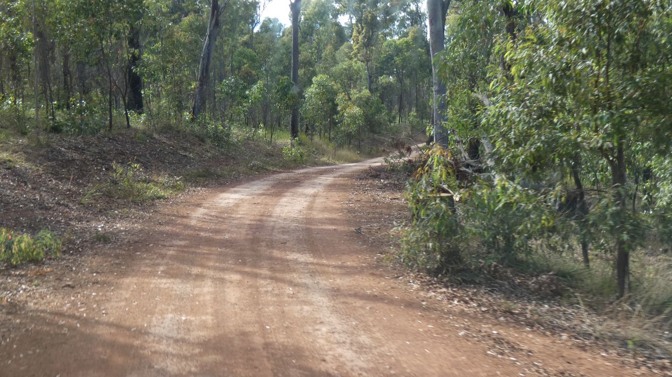
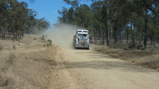
There are roads that exist on maps, that don't really
exist. And there are roads that exist but aren't on maps. The road we
thought we'd take was the former, there was a hint of a once road that
hadn't been driven on for many years. We followed a very thin, very dotted
line on the map that was actually quite easy driving. |
| | | |
 |
|
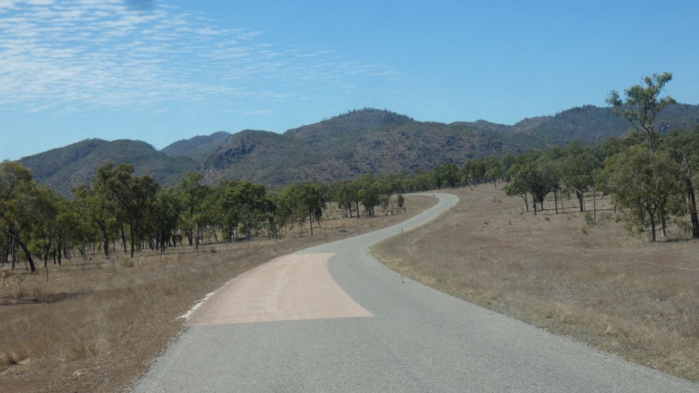
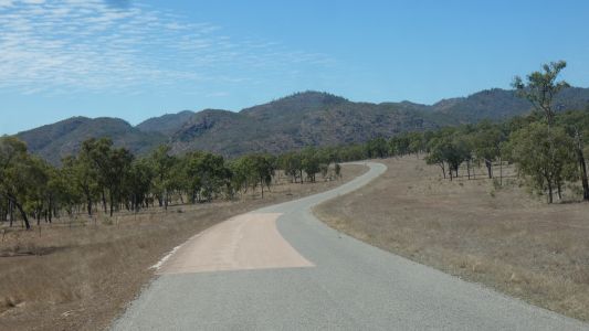
Eventually we emerged from the mountains west of Paluma and
headed south west towards Ewan. |
| | | |
 |
|
Thence south past Zig-Zag towards the Harvey Range Road. |
| | | |
 |
|
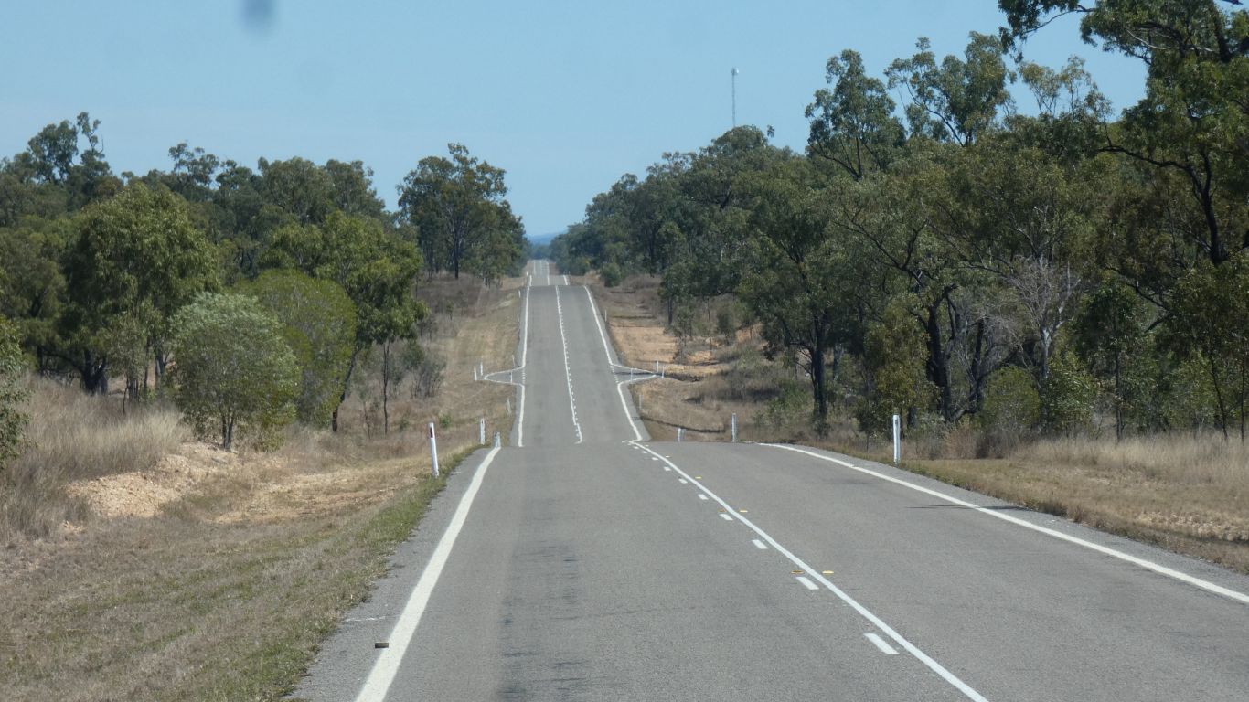
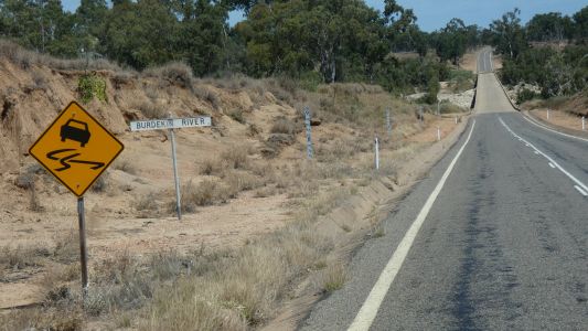
Which had white lines and road furniture. |
| | | |
 |
|
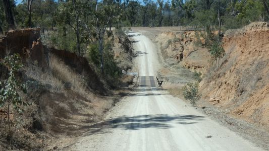
With a low level bridge across the Burdekin. |
| | | |
 |
|
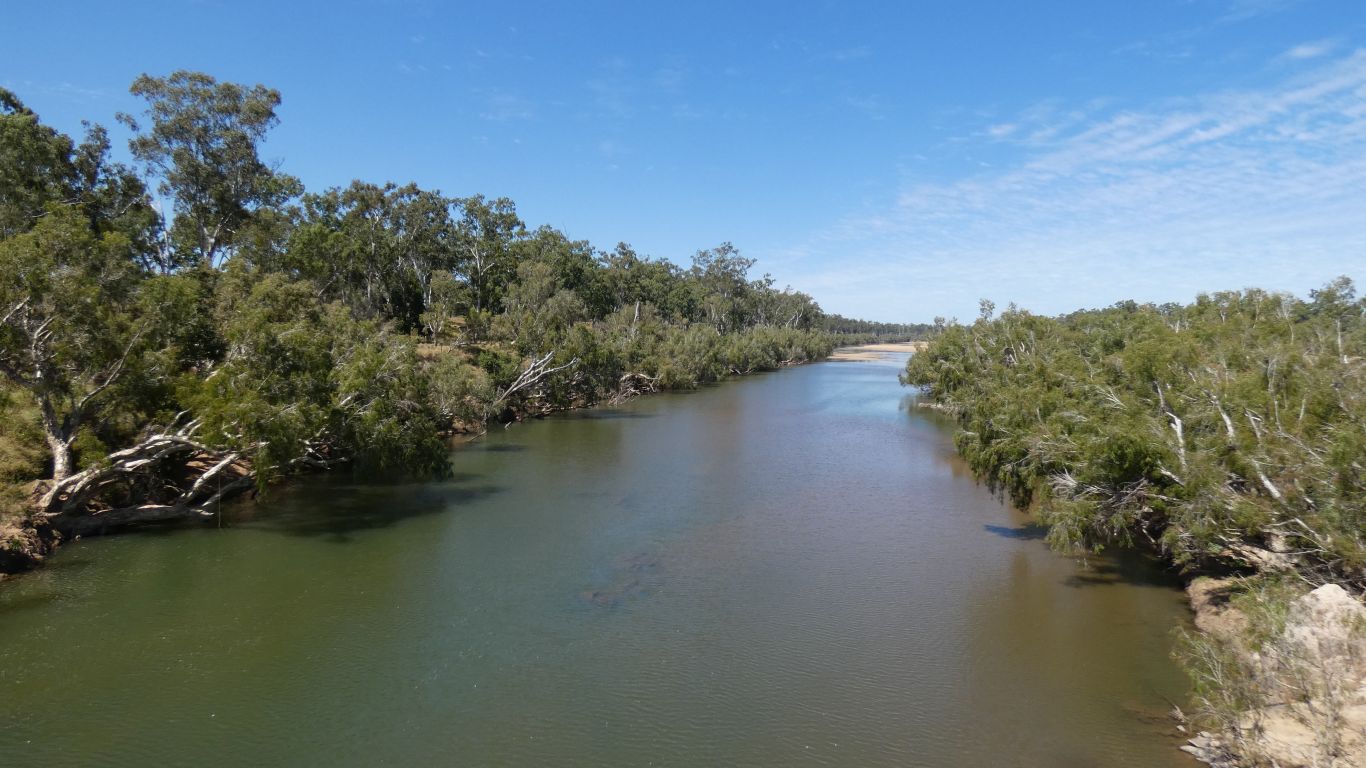
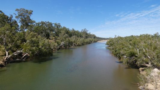
There's some water in this stretch, but it really isn't
flowing much. |
| | | |
 |
|
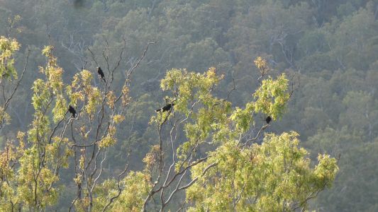
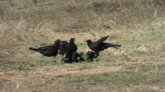
After a couple of hundred km we stop at Fletcher Creek for
the night. About 40km north of Charters Towers. We are camped between
Fletcher Creek and the Burdekin River, though there's a fence between us and
the Burdekin, about 50m from the bank. We know that a flock of crows is
called a murder. These aren't crows, we aren't sure what they are, but it
seems, from the behaviour and the noise, that they are trying to murder one
of their own.
After about 5 minutes, in which we had time for a few short videos, they
all flew away. |
| | | |
 |
|
A pleasant spot for overnight. Perhaps originally a camp on
a stock route. Probably 30 or 40 camps spread out. We can't see anyone else
from our camp. |
| | | |
| Burdekin River - Charters Towers to Mt Britton |
|
August 29 - 30 2019 |
| | | |