| |
|
|
| Shady Camp, Mary River National Park |
 |
June 9 - 10 2021 |
| |
|
|
 |
|
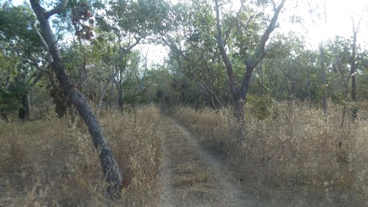
The shortcut between Couzens Lookout and Shady Camp is
along the Wildman 4wd track. The southern entrance is near the Rockhole.
About where we emerged from yesterday's bush bash.
Reports on its state, even whether it was open, were a bit confusing. A
phone call to the ranger office confirmed it was open - as of two days ago.
No water, and Brian Creek crossing has been worked on. |
| | | |
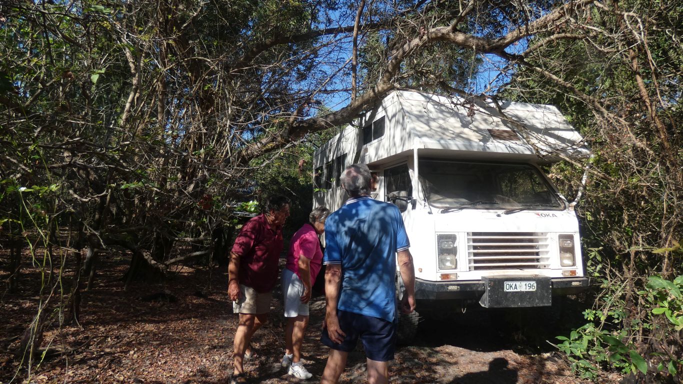
 |
|
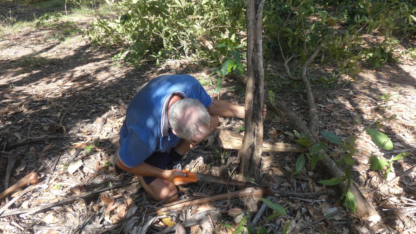
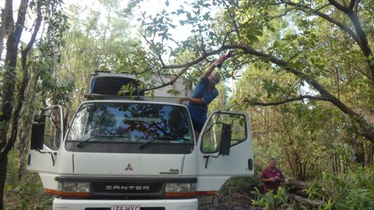
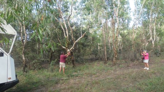
But we forgot about the trees .... Easier to hang on with
left hand and hold battery reciprocating saw with right hand.
We counted 13 such tree trimming episodes along the way. Some more
serious than others. |
| | | |
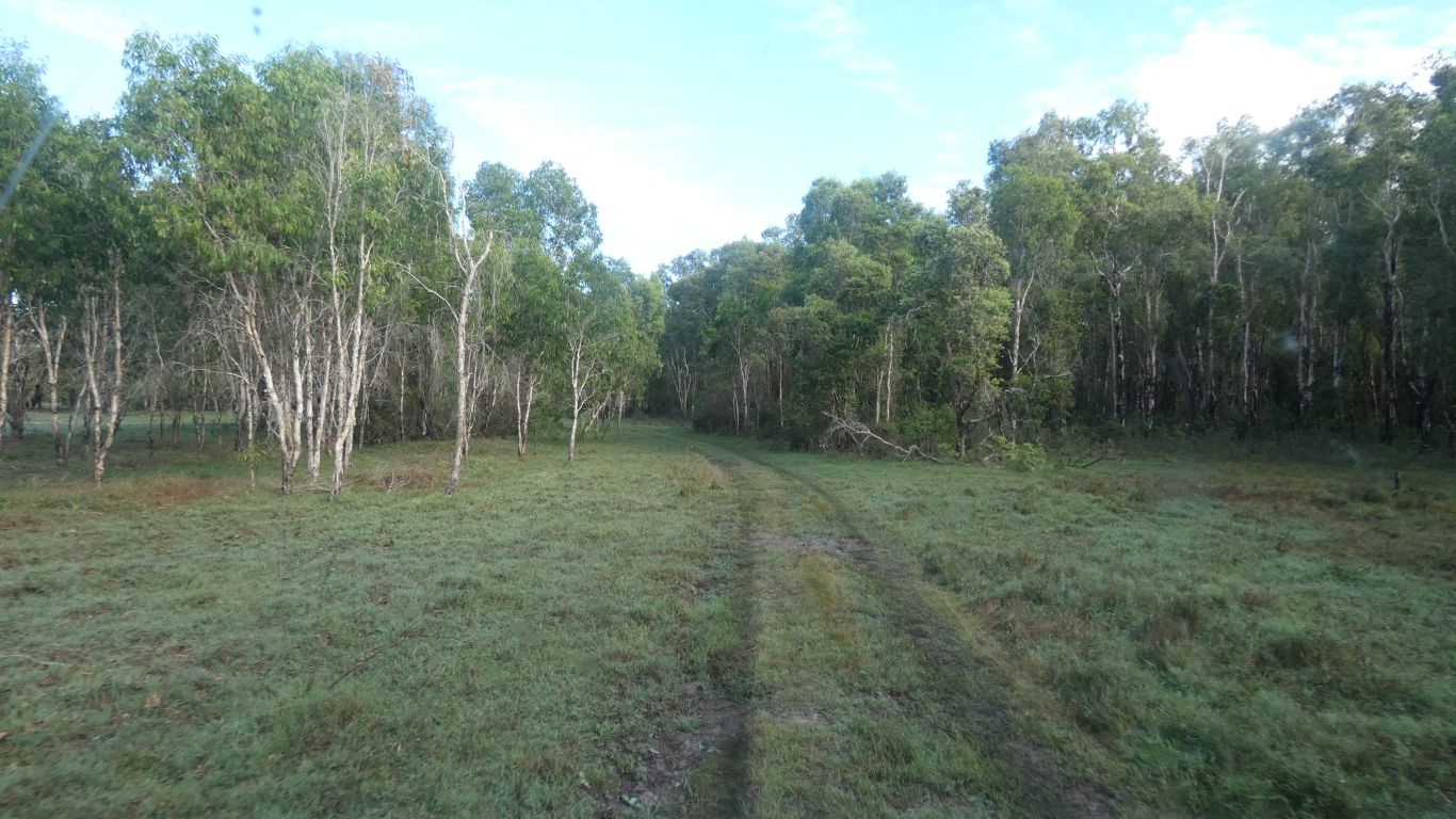
 |
|
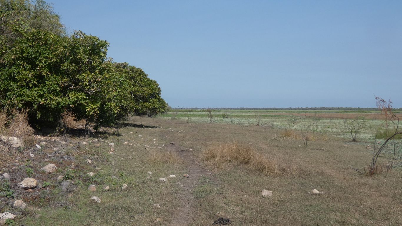
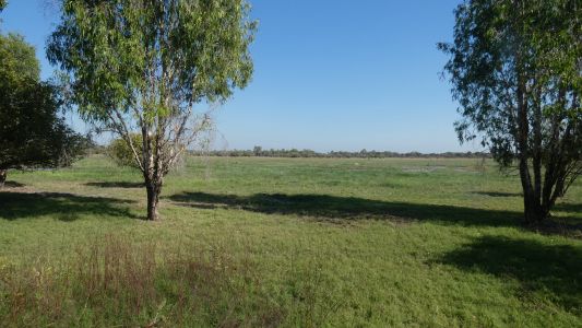
But we also passed through open flood plain. |
| | | |
 |
|
To encounter bigger branches. |
| | | |
 |
|
We were able to push through most. |
| | | |
 |
|
This proved to be a bit of a challenge as the battery
charger for the saw failed. |
| | | |
 |
|
Just like the song .... "if you can't go ............",
we went round. |
| | | |
 |
|
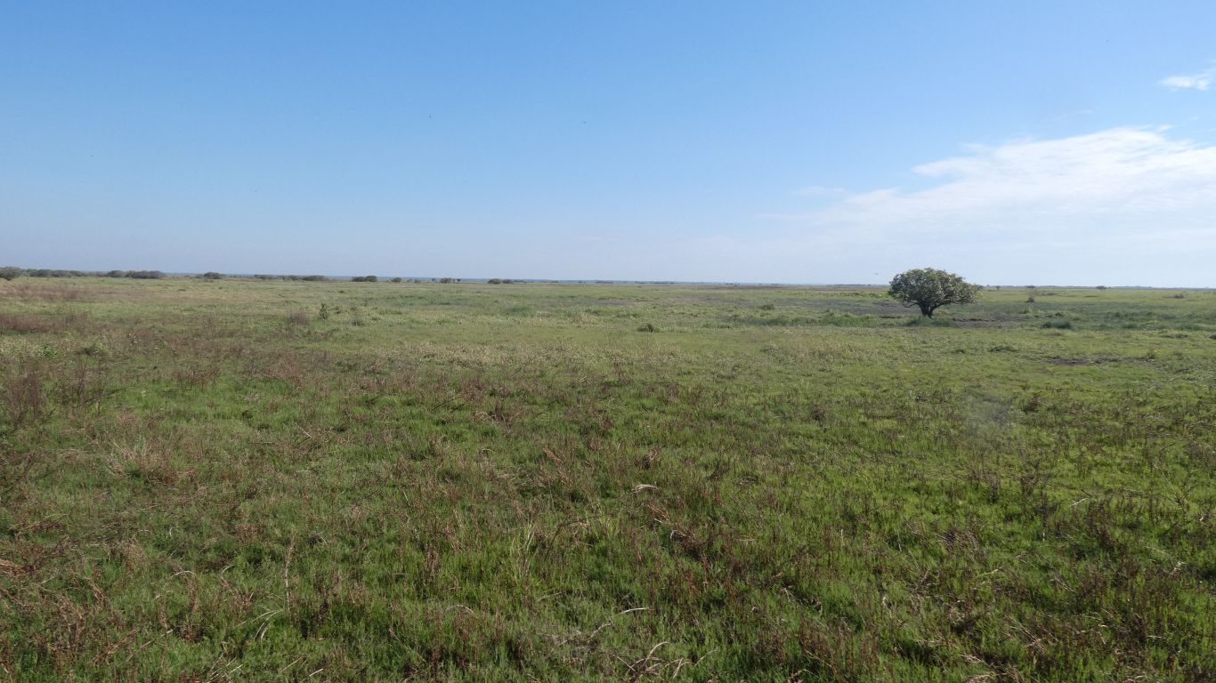
To look across the Mary River flood plain. |
| | | |
 |
|
Has something eaten the grass, or has it not yet grown? |
| | | |
 |
|
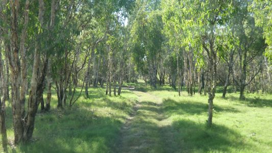
Almost like a park, relatively young paperbarks. |
| | | |
 |
|
As well as the handsaw (its really not that hard) we had a
long webbing strap to break dead branches and trees. |
| | | |
 |
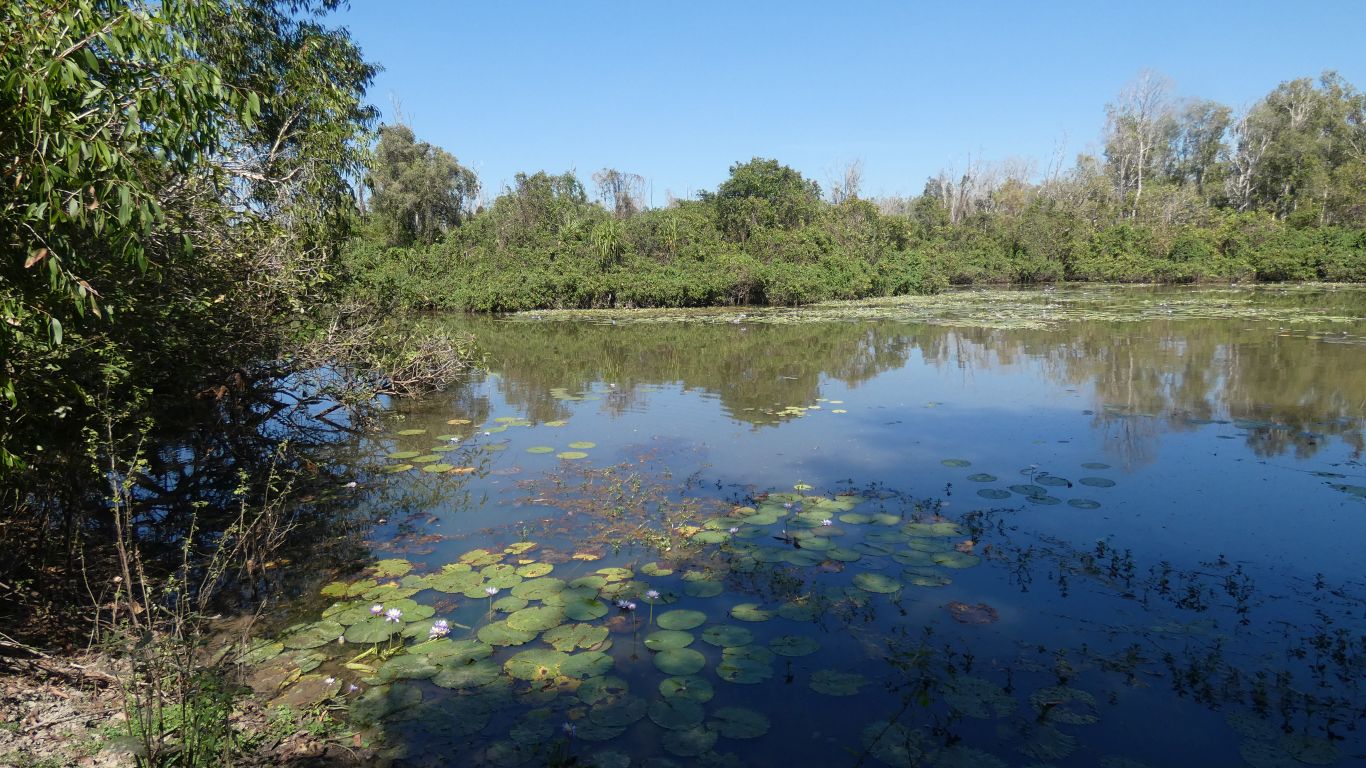
|
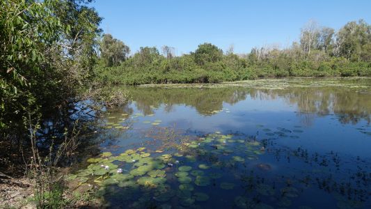
A quick detour into Connellan Lagoon. |
| | | |
 |
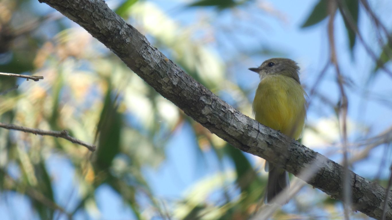
|
To watch a few small flycatchers for a while. |
| | | |
 |
|
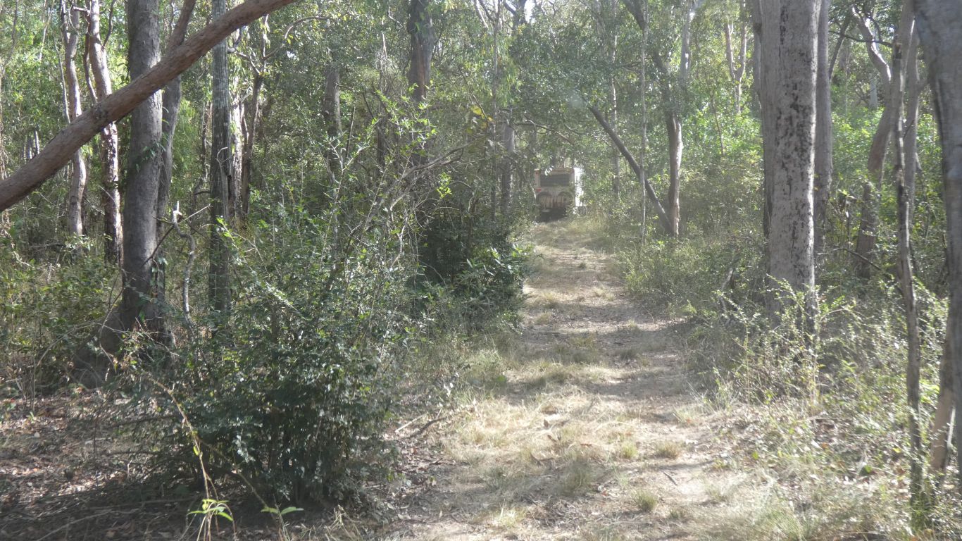
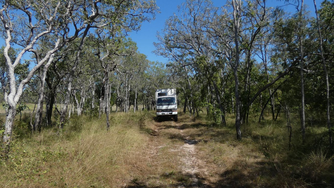
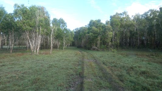
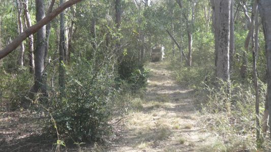
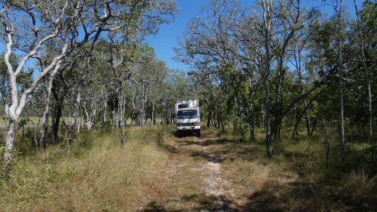
The track changed as we left floodplain onto more solid
ground. |
| | | |
 |
|
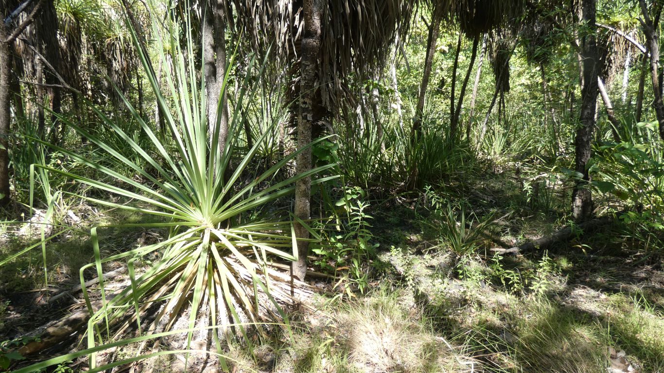
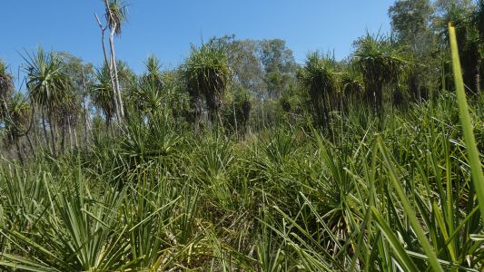
But to pandanus forest as we neared Brian Creek. A bit
"undulating" and "tight" but slow rather than difficult. |
| | | |
 |
|
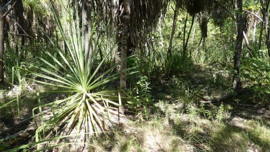
Once having left the track and just before we joined the
main road north we stopped for a look at "monsoon rain forest" on the banks
of Brian Creek. |
| | | |
 |
|
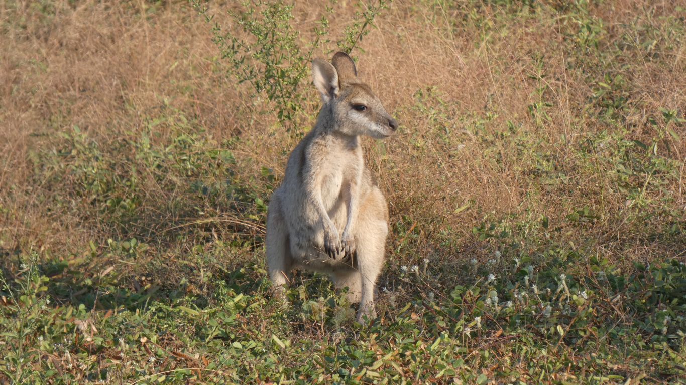
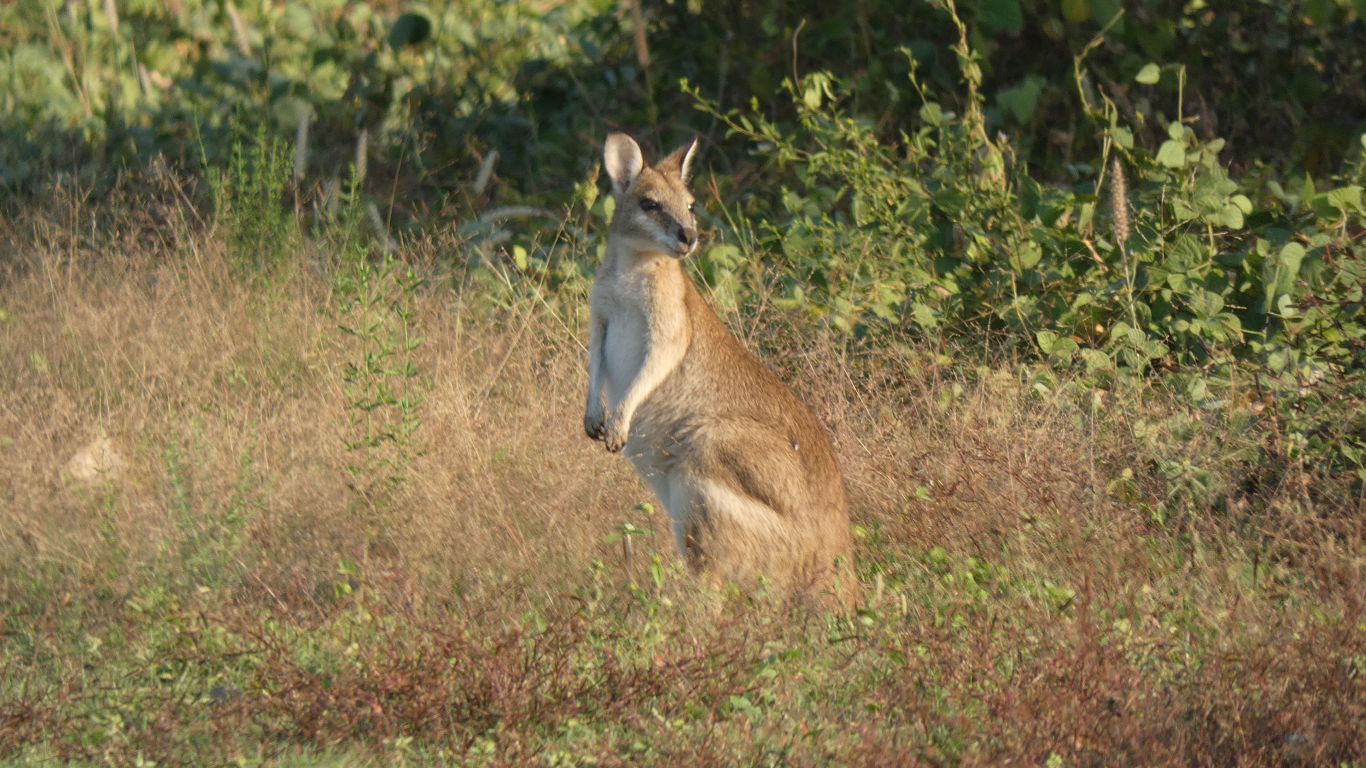
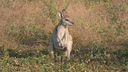
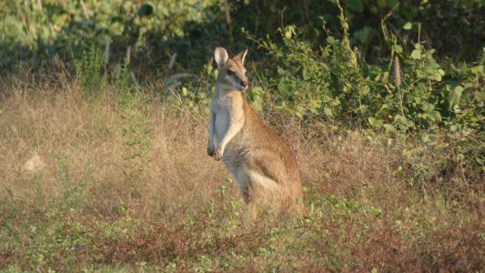
We reached Shady Camp, a large area, popular for fishing as
it gives access to the salt water estuarine part of the Mary River.
Greeted by agile wallabies, content to ignore us. |
| | | |
 |
|
Cute? |
| | | |
 |
|
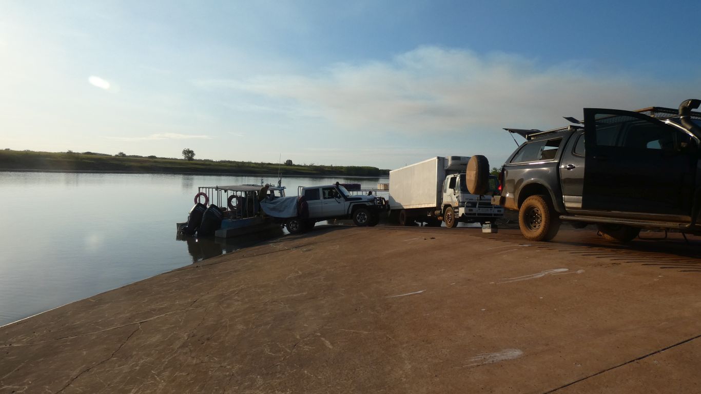
The saltwater boat ramp. A couple of professional fishers
unloading catch. The barrage (there are three, one for each branch of the
braided river) was built to separate salt and fresh water.
Originally sandbars played their part, but buffalo destroyed them and
salt water inundation of the floodplain was destroying it.
The freshwater boat ramp is less than 50m upstream, above the barrage
(weir). |
| | | |
 |
|
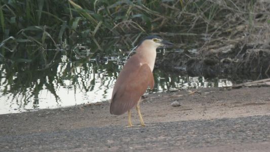
As we walked to the crocodile viewing platform .... a
Nankeen Night Heron. |
| | | |
 |
|
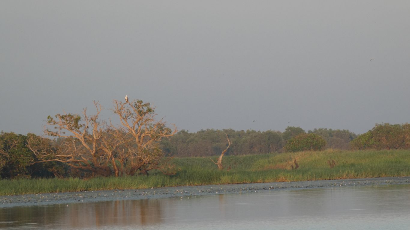
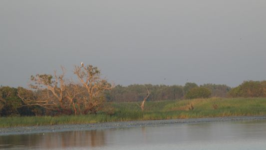
Next morning, sunrise over the floodplain. A white
bellied sea eagle surveying its empire. |
| | | |
 |
|
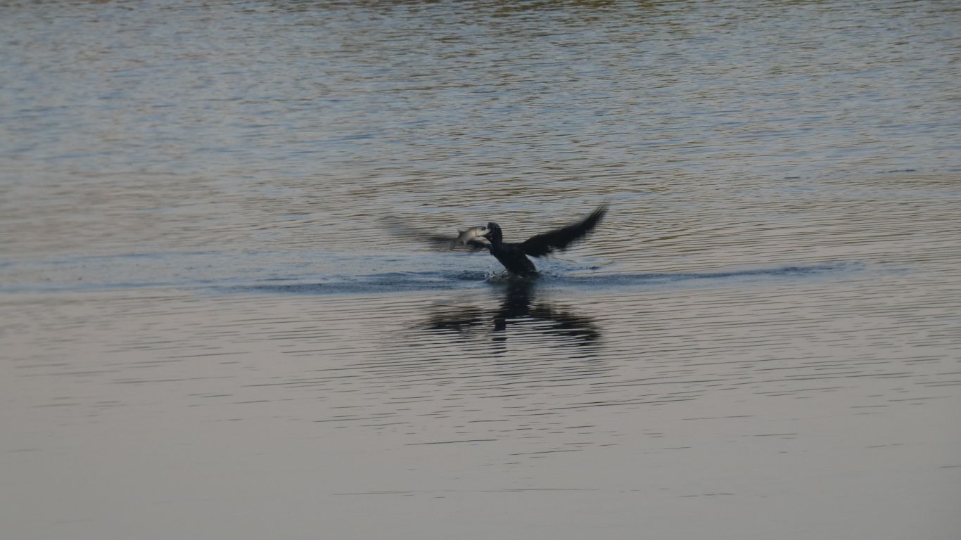
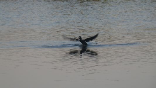
While the fish cleverly posed to have its pic taken while
being eaten by a cormorant. |
| | | |
 |
|
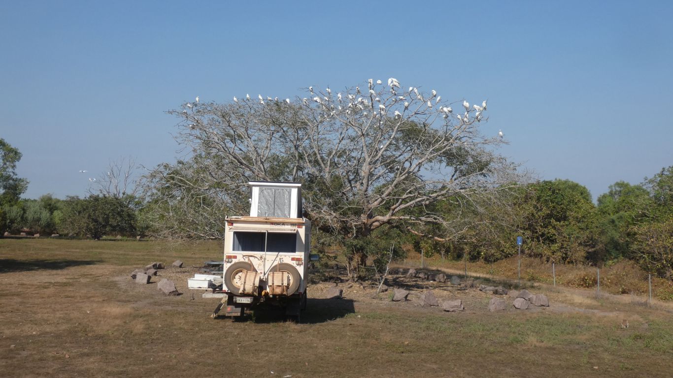
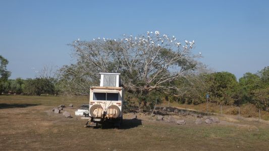
Don't forget the corellas. Gazillions of them.
With appropriate noise.
They appear in the morning and thankfully disappear at night. |
| | | |
 |
|
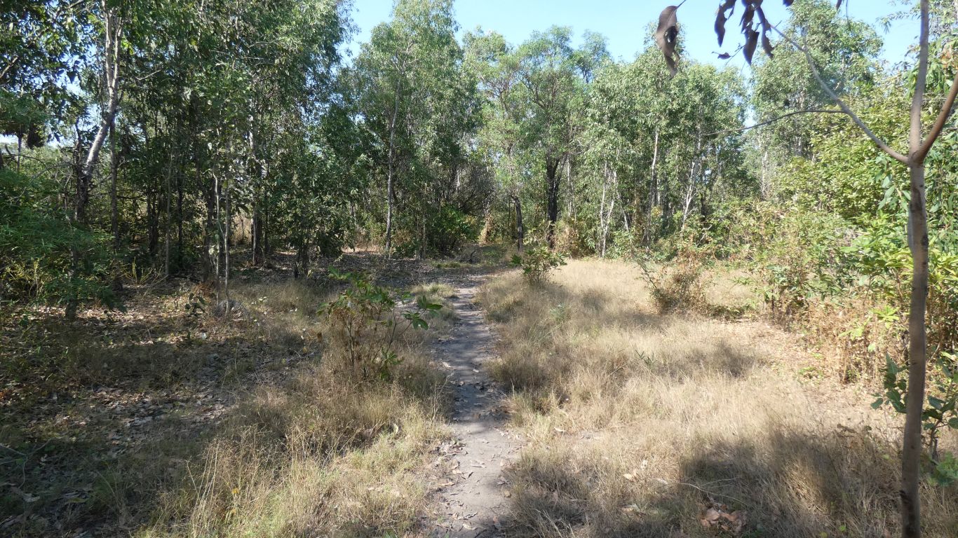
Ali and I became adventurous (again?). A walk south from
the viewing platform car park.
The 4wd track (complete with locked gate and notice about maintenance
track) has been totally overgrown. |
| | | |
 |
|
We follow our noses. And the many buffalo tracks.
Generally on the edge of the trees. |
| | | |
 |
|
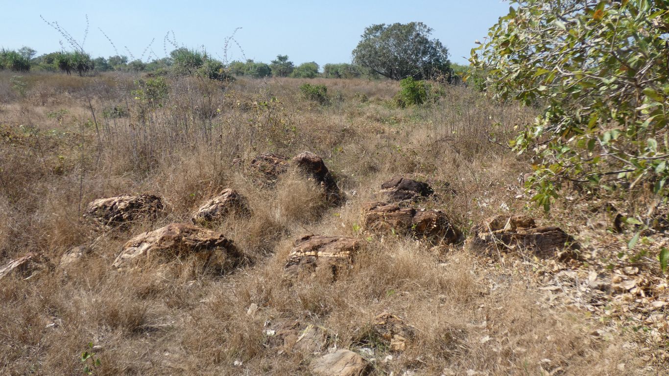
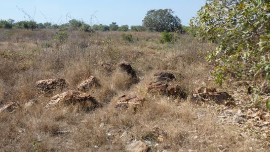
A couple of km in we meet a rocky outcrop. We've been
conscious of a ridge to our left, the outcrop a further indication of why
the river describes a big loop around a point.
There are quartz veins through what we think is sandstone. |
| | | |
 |
|
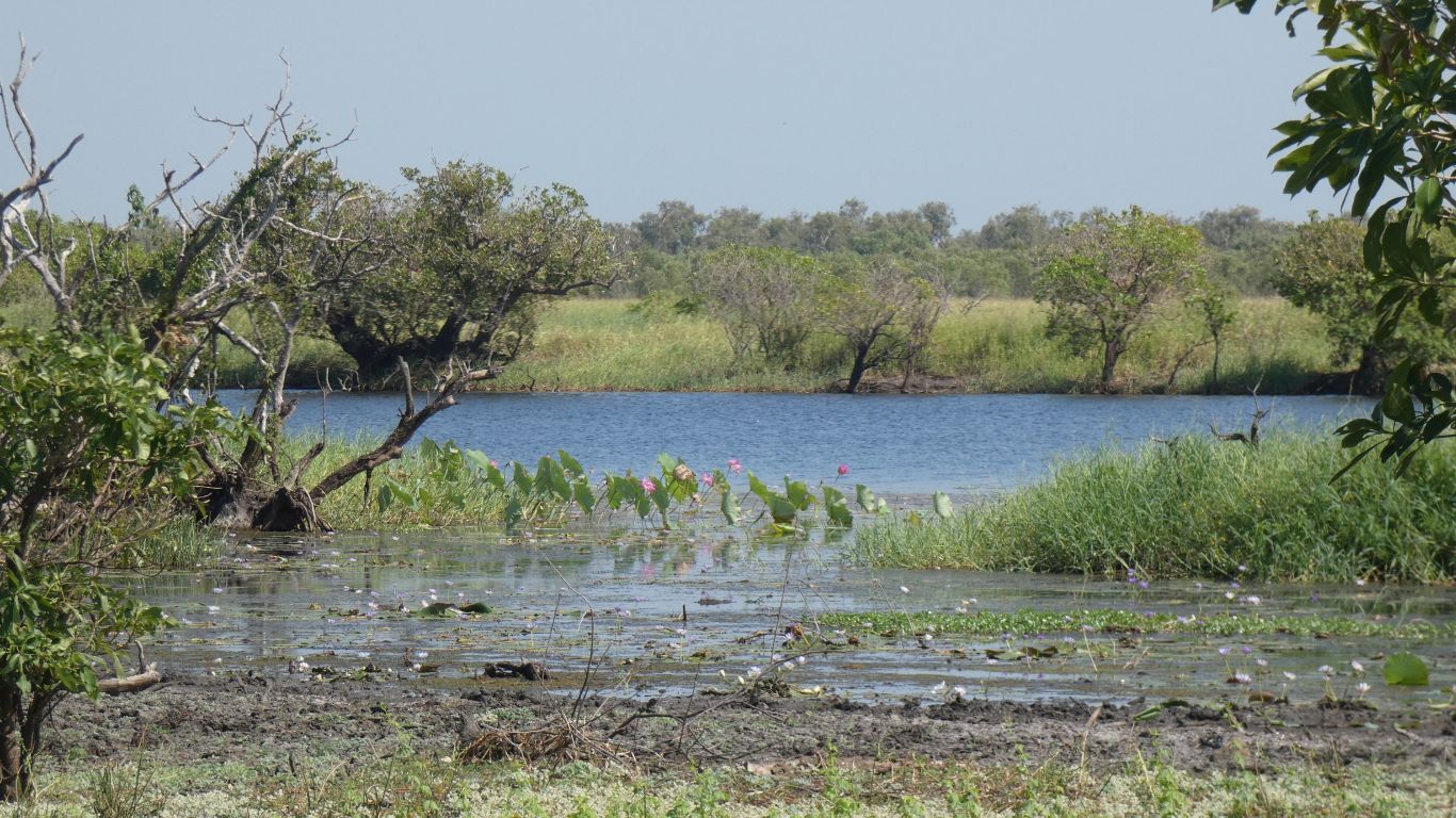
We can see the river through the trees. |
| | | |
 |
|
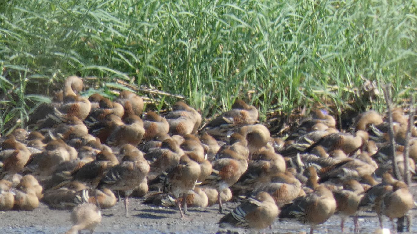
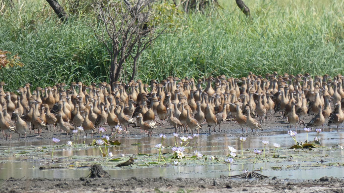
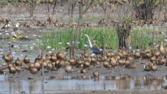
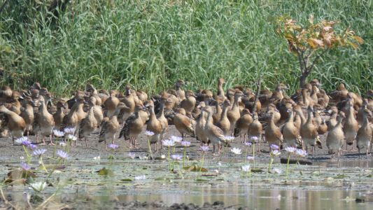
But wait. Shush .... "Those aren't brown stones they are
ducks" says Ali.
Whistling diving ducks (if our memories of Cape York serve us correctly).
They are resting, they haven't seen us yet. |
| | | |
 |
|
Still resting as we follow the line of the rock outcrop
towards the water. How long can we remain invisible. |
| | | |
 |
|
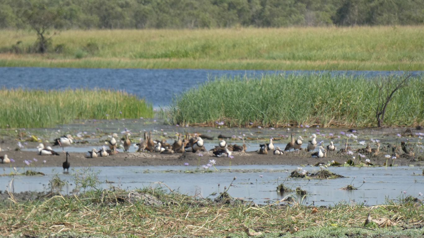
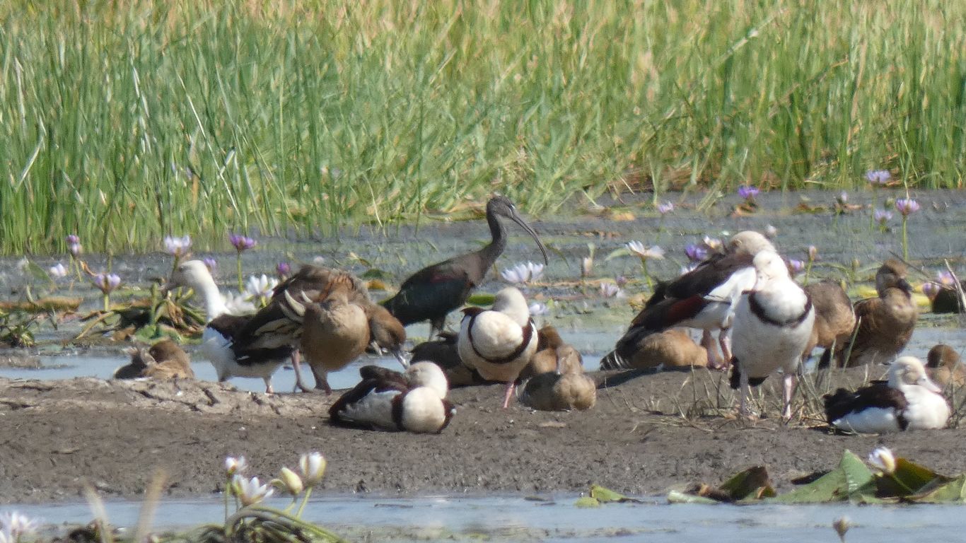
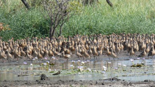
Further out, closer to the river, there are white headed
shelducks, also resting. |
| | | |
 |
|
Oops. They are aware of our presence. |
| | | |
 |
|
At least most of them. These and the glossy ibis aren't
yet aware ..... or don't care. |
| | | |
 |
|
A little more restless, a bit more movement. |
| | | |
 |
|
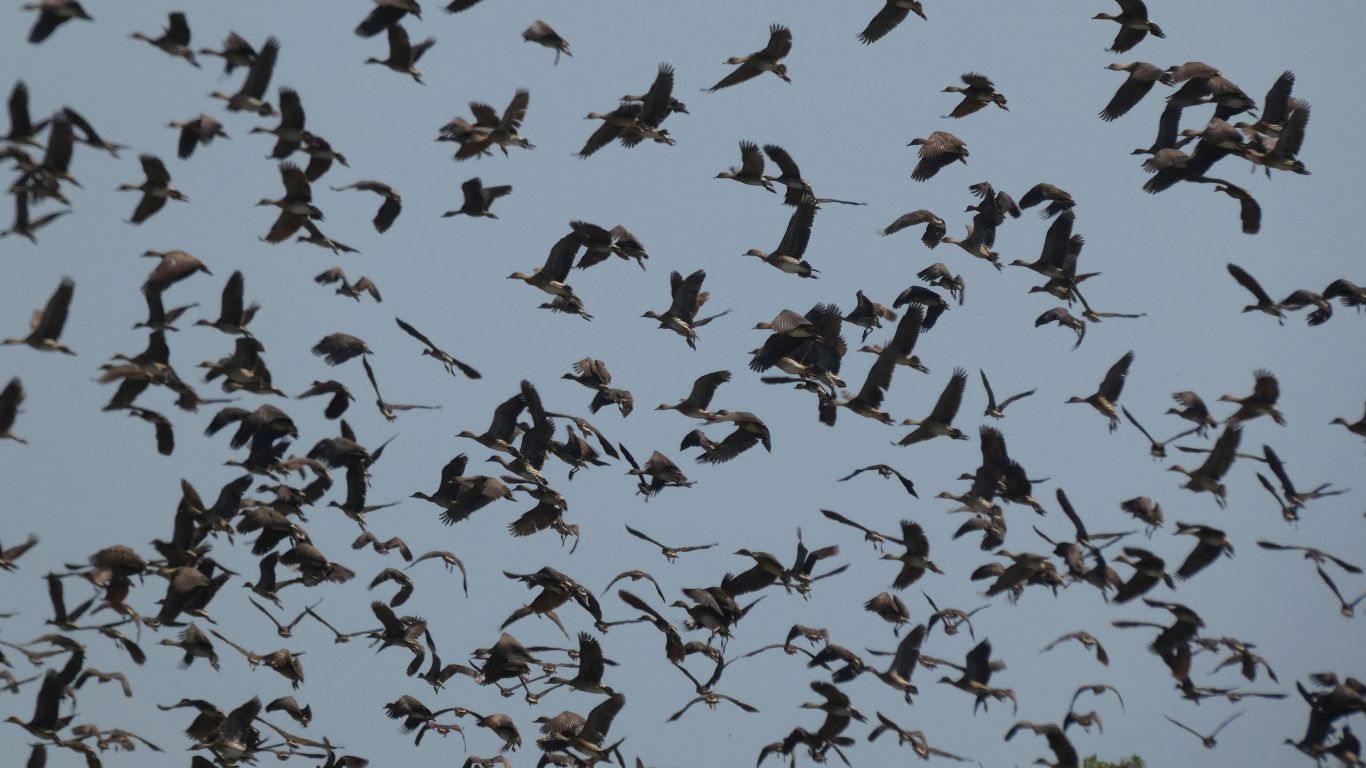
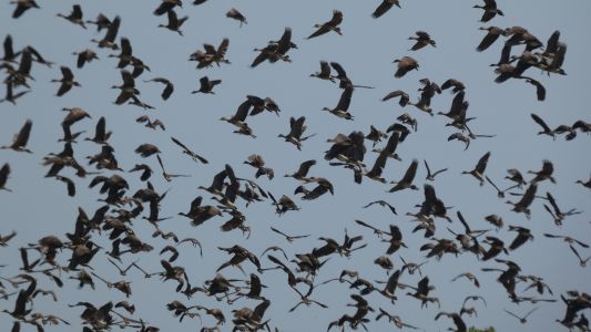
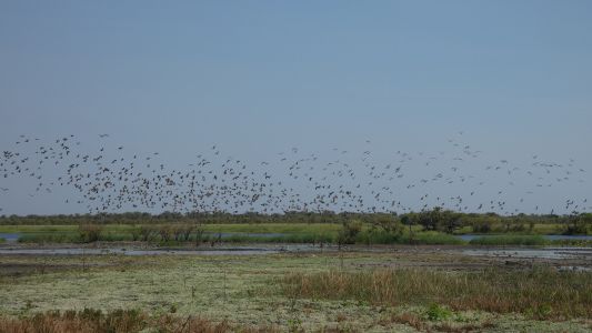
And finally we lose, as we begin to walk away. |
| | | |
 |
|
As we've observed previously, the circle a couple of times,
then resettle in much the same places. |
| | | |
 |
|
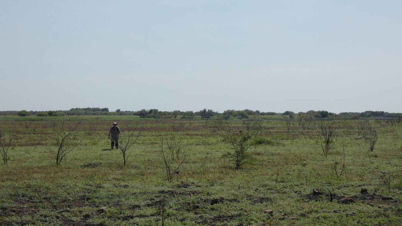
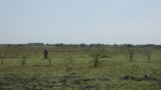
Meanwhile we cross the dried out floodplain towards bamboo
point, we think (behind me). We only think because there is little or no
bamboo. |
| | | |
 |
|
We've turned around, and are following the edge of the
ridge. This is looking towards the point, where there is a fence marking the
edge of the park. |
| | | |
 |
|
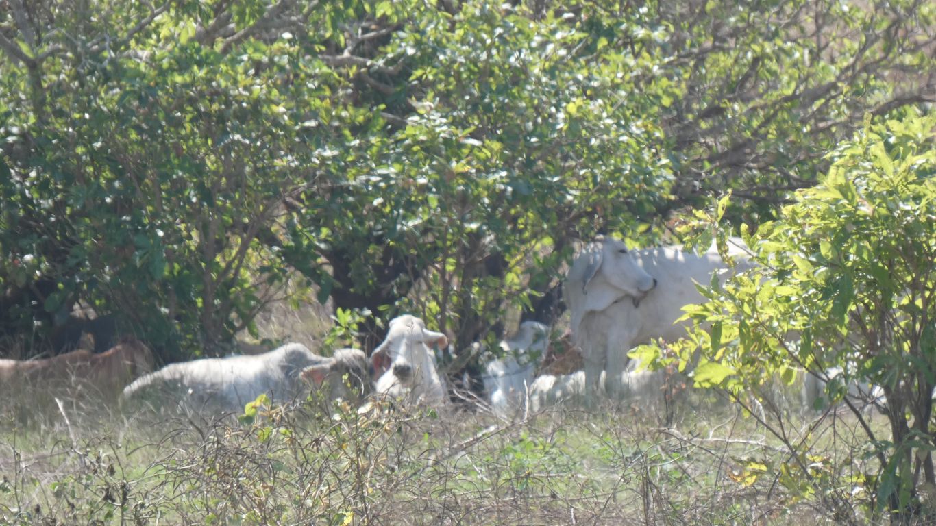
But cattle seem to remain in the park. |
| | | |
 |
|
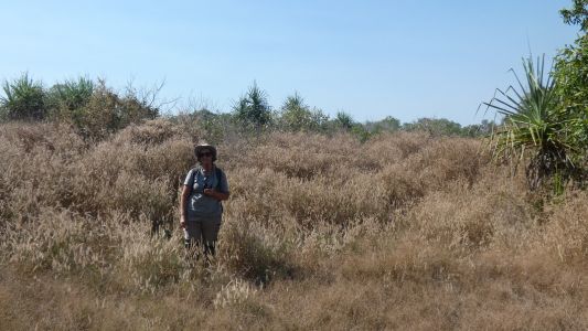
We thought we would stay closer to the ridge. Big
mistake.
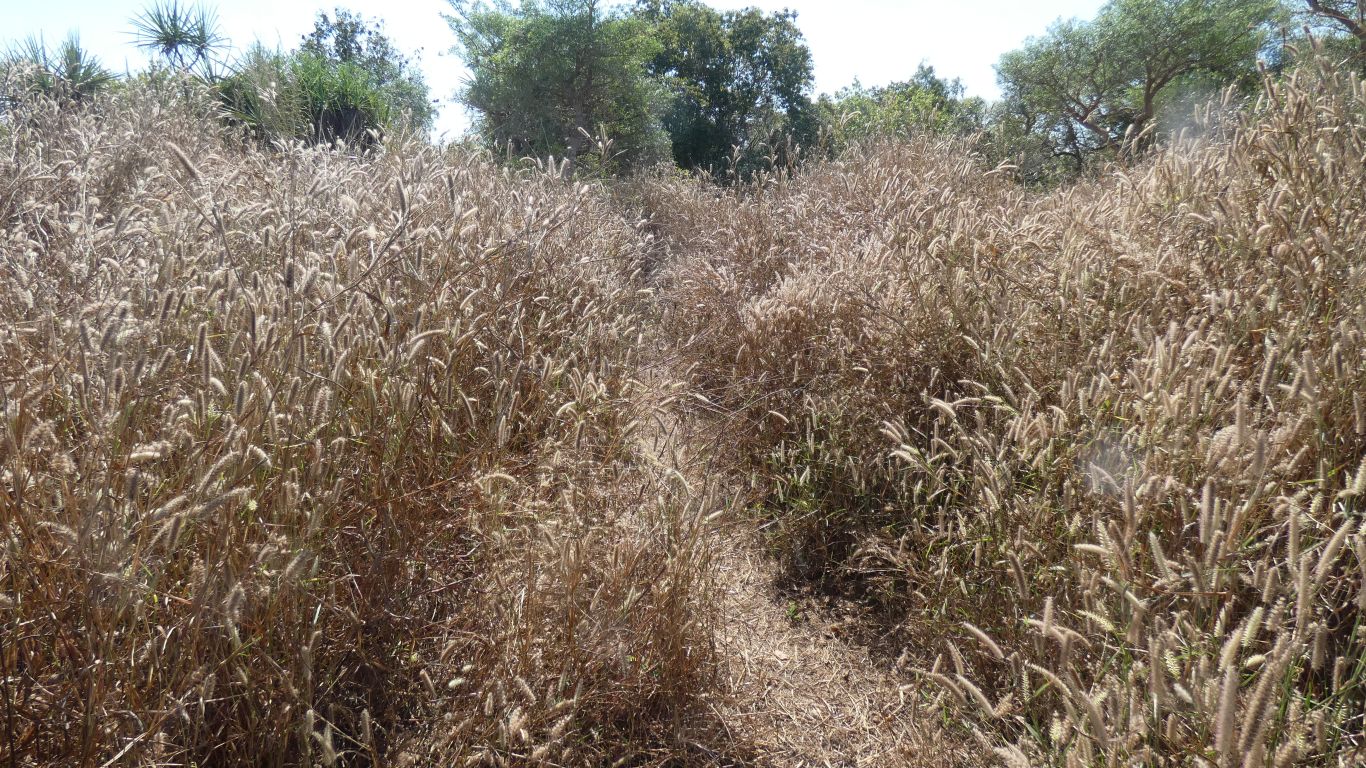
While there is an animal track through the grass it became increasingly
difficult to navigate through sturdy bushes.
Did I mention we bought a new tracker in Darwin. We took a more or less
straight line about 300m through scrub to the track we took in.
Not quick enough to take a pic of the small buffalo herd we upset - we
caught a glimpse of grey, the unmistakeable shape, and a lot of crashing and
breaking of branches. They are stronger than we are. We moved a lot more
slowly and never caught another glimpse. |
| | | |
 |
|
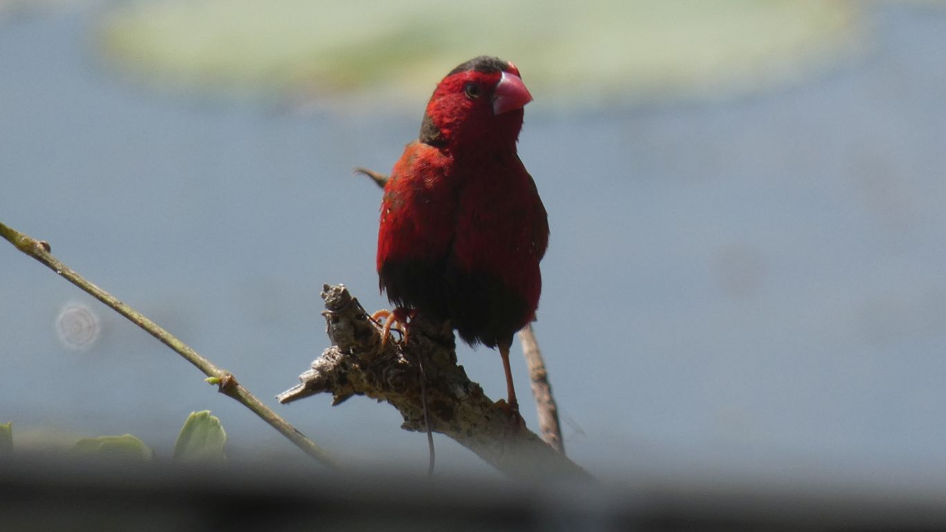
Back at the viewing platform a crimson finch. A tad
easier to see than the last ones we saw hiding in grass at Gregory River
crossing. |
| | | |
 |
|
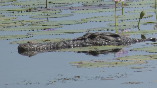
Plus the obligatory crocodile - it is after all a crocodile
viewing platform. |
| | | |
 |
|
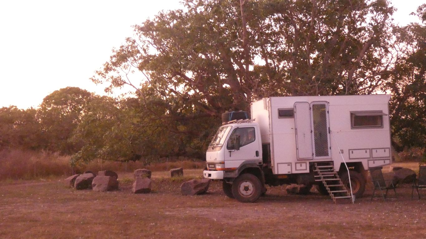
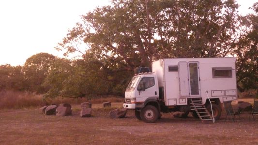
A lazy afternoon (we feel we earned it), with the sunset
colours to light up the truck. The sepia tones added by the sun .... |
| | | |
| Cooinda, Kakadu National Park |
|
June 11 - 12 2021 |
| | | |