We chose the latter.
But then you knew that .....
It takes a long loop south, via Duchess, to Cloncurry, which is almost due east.
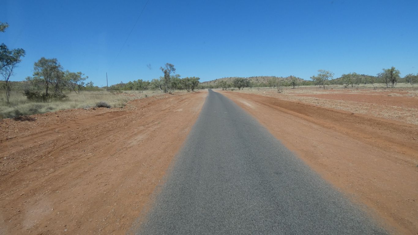
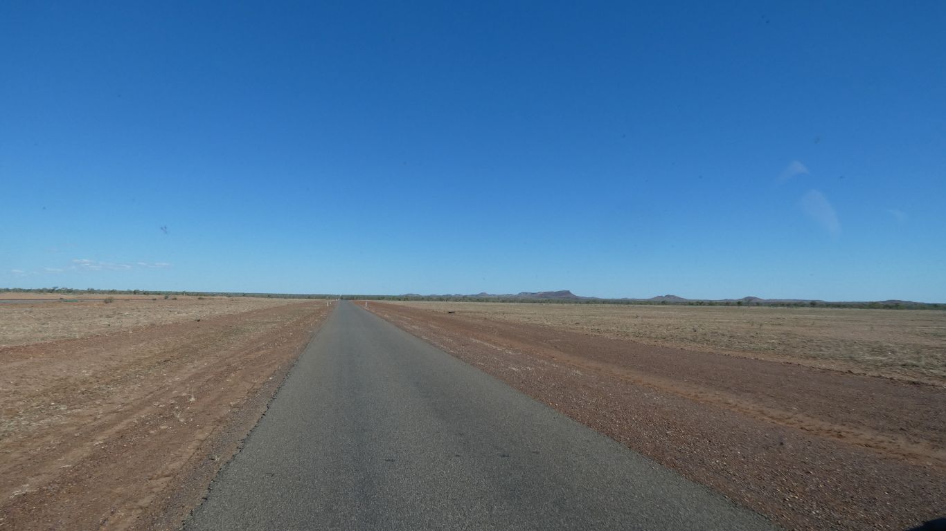
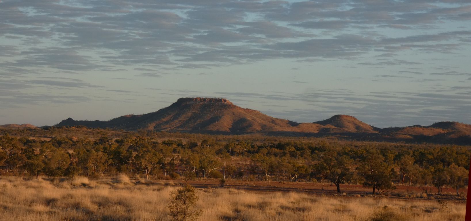
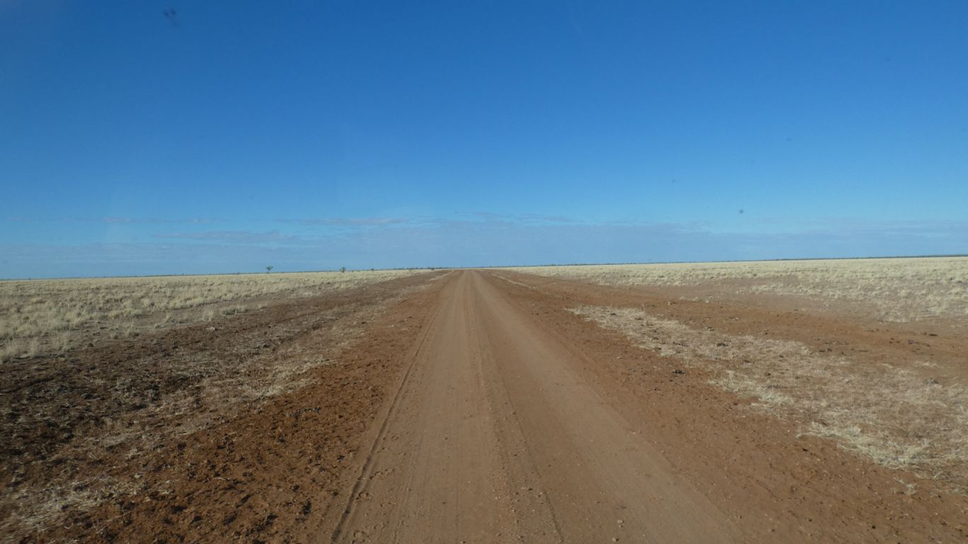
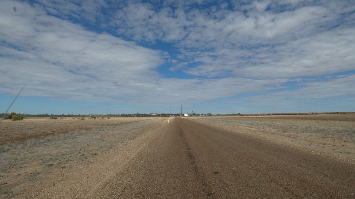
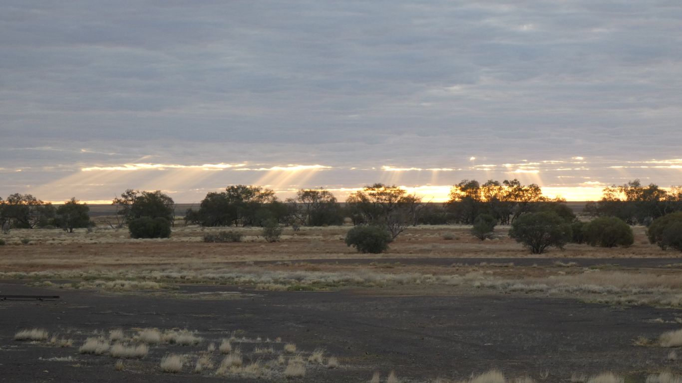
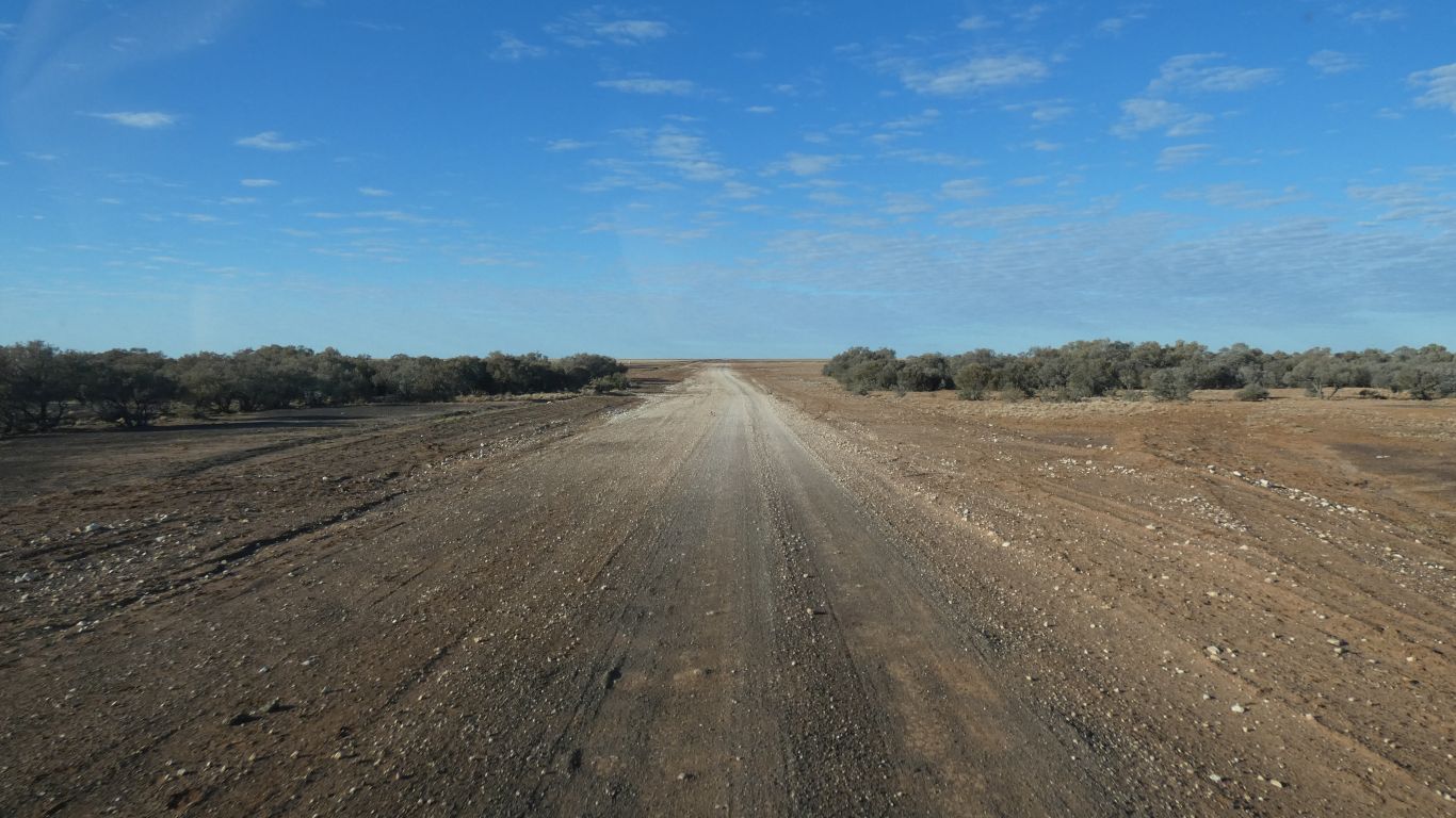
The terrain is almost flat. Unlike the road we took yesterday, due east of Mt Isa towards Cloncurry.
East of Cloncurry is also almost flat, with long straight stretches of road and rail.
I guess the Three Sisters may be some low hills. There is not much indication on the map, or on the road.
Now it seems to have a pub.
Apparently good for a night camping, drinking, eating, and talking.
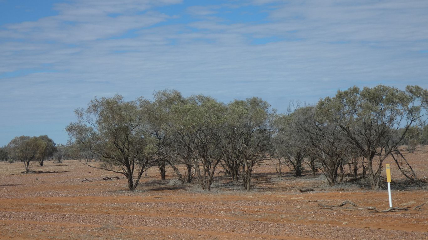
Cattle country. With not much feed.
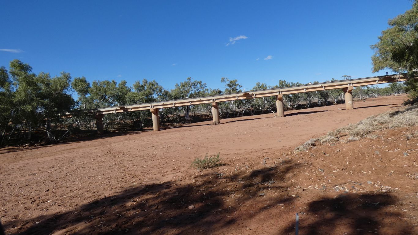
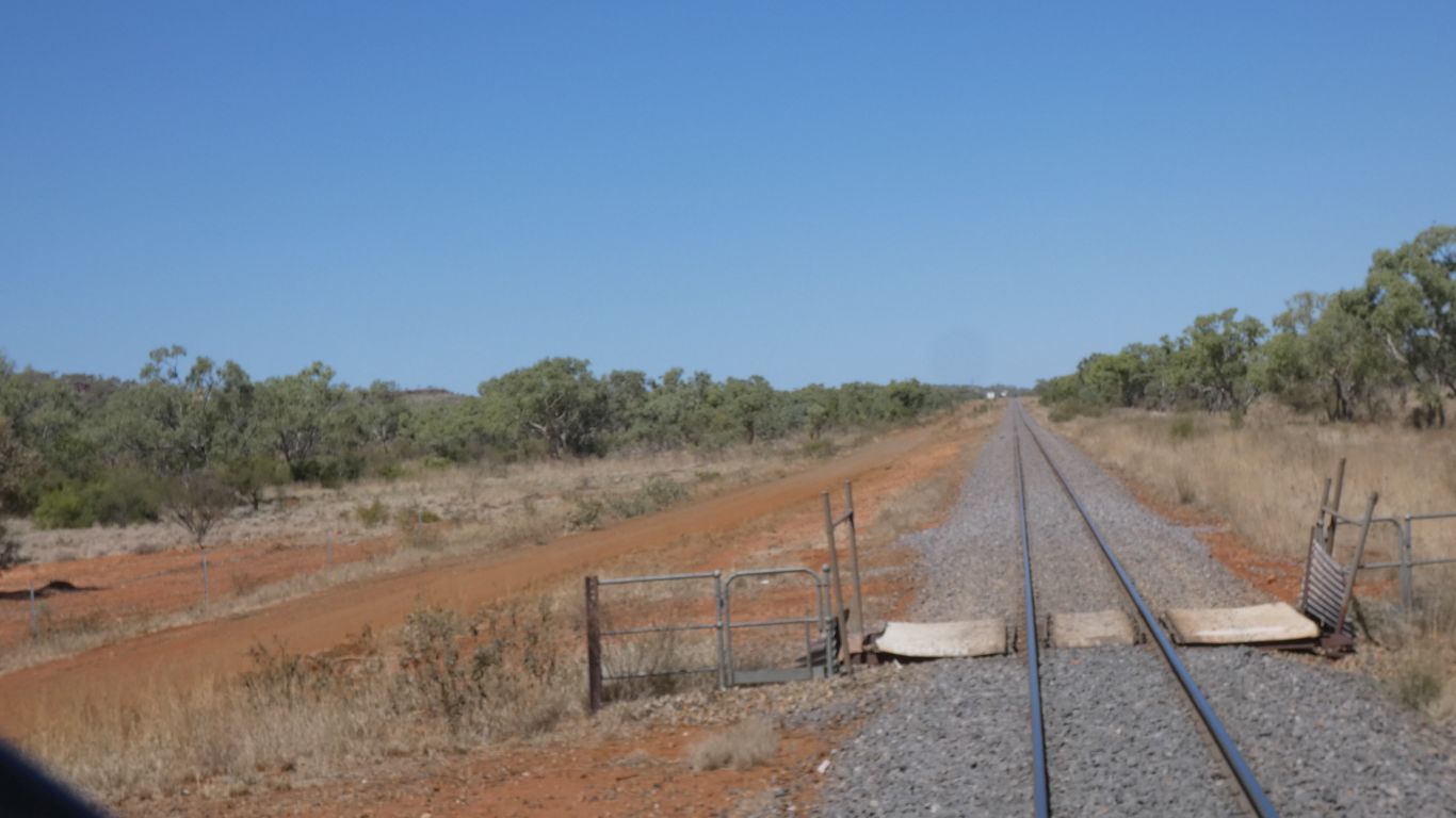
There was considerable flood damage a few years ago. All the culverts have been replaced, and new looking bridges.
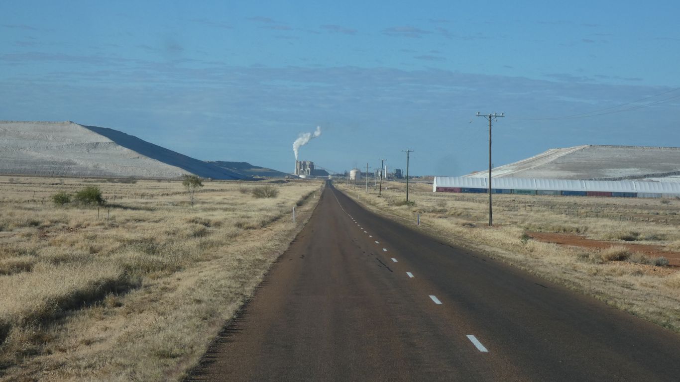
Like most mines they have a mobile phone tower.
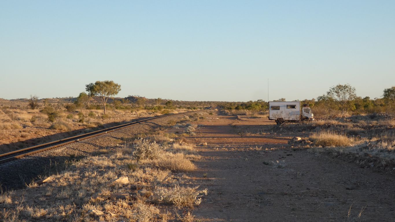
The few trains made a soothing whistling rolling sort of noise as they passed.
Apart from one that is. The driver took pleasure in tooting his hooter.
Ammonium phosphate out, sulphuric acid in.
Dark when they all passed.
I've yet to look up the geology.
The ammonia is produced with the help of natural gas.
Not here, but far away, on Burrup Peninsula at the ammonium nitrate plant, ammonia will be produced from renewable energy (solar) producing hydrogen through electrolysis of water, which will be converted to ammonia.
I am totally convinced that will happen here eventually. Water allowing that is.
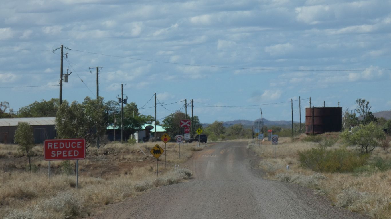
Oops! We nearly miss our turn off.
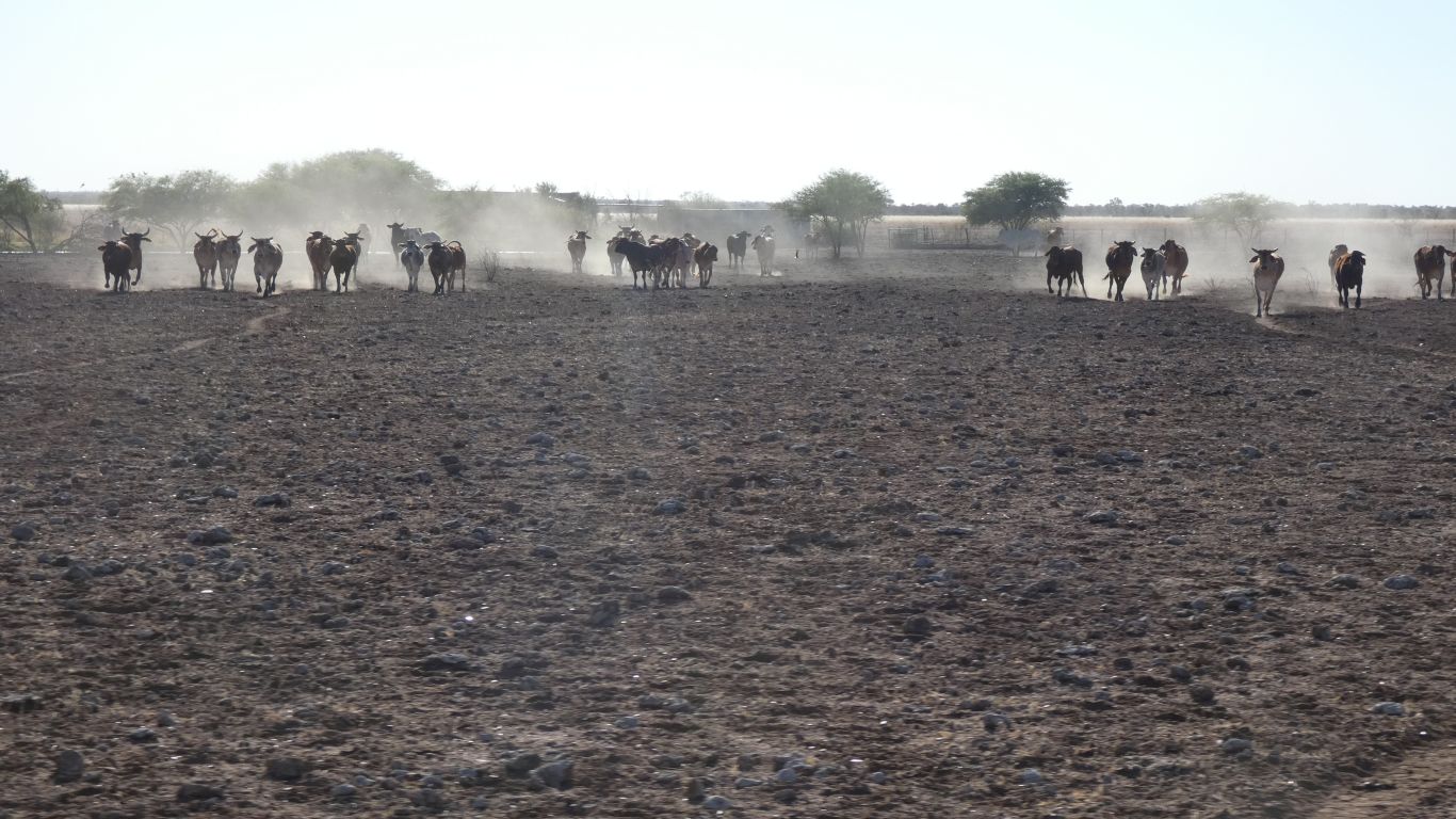
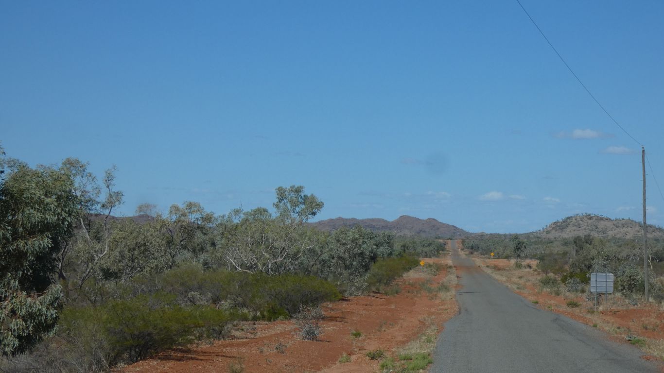
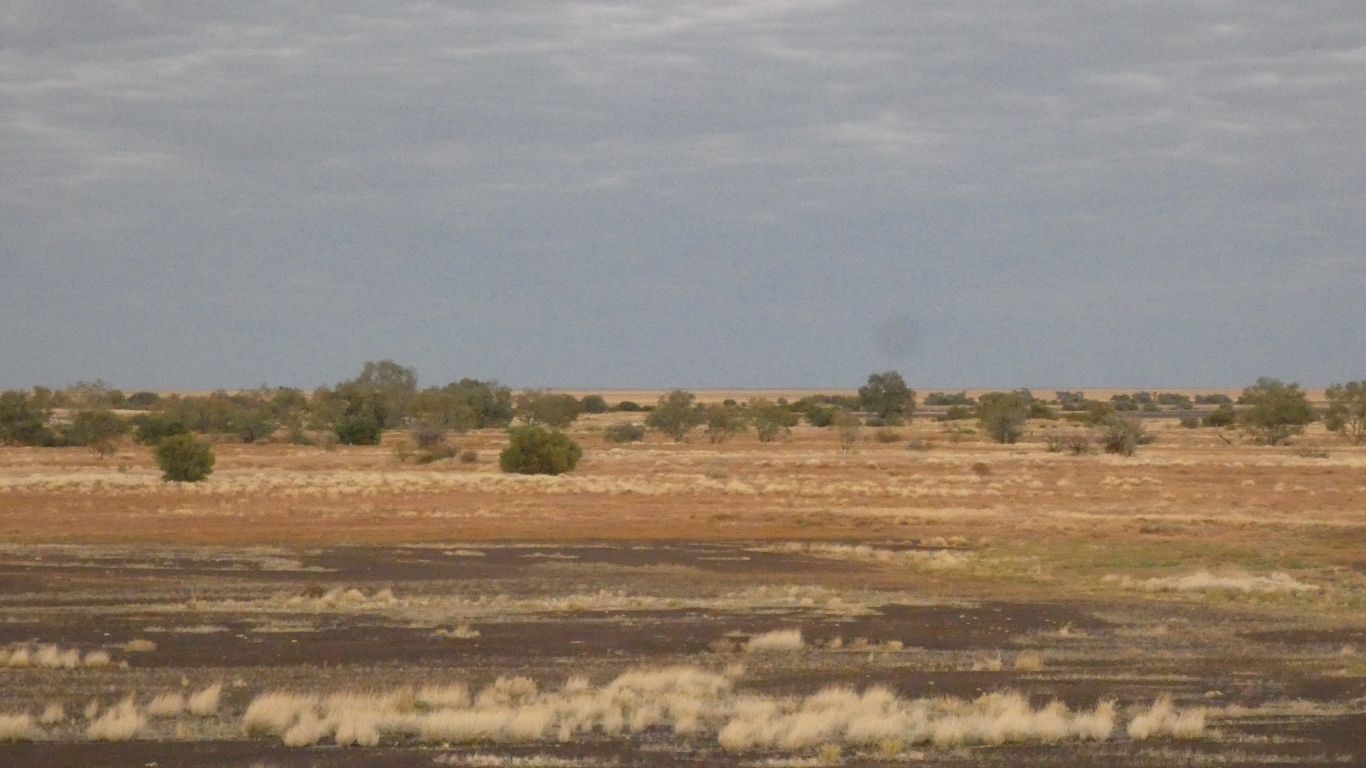
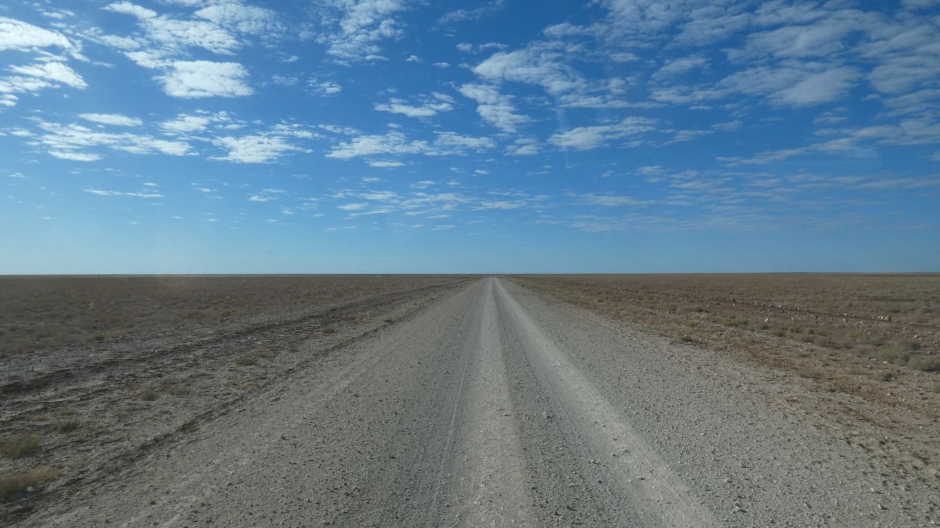
An arid, dusty, land.
If that is at all possible.
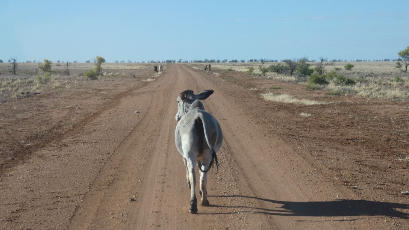
This one insisted on waving big floppy ears at us as it ran down the road.
I guess the big ears help keep it cool.
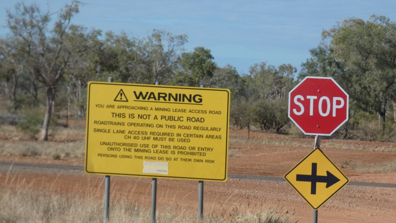
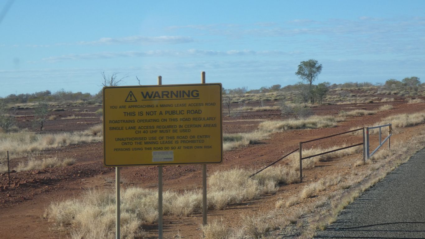
Another of those ambiguous signs unique to private roads.
I guess it means "no right turn".
With silly hat on, does it mean I could turn left?
Perhaps no-one ever wants to go to Osborne.
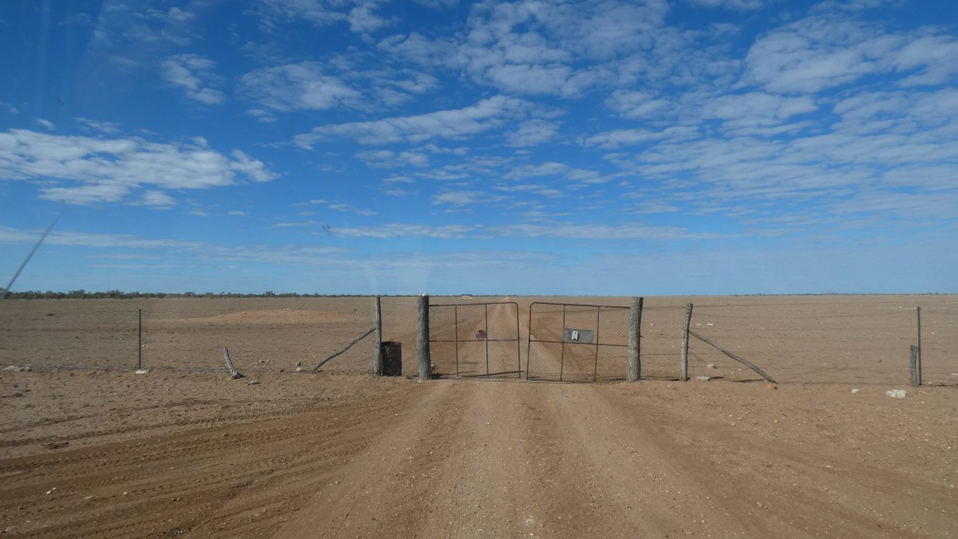
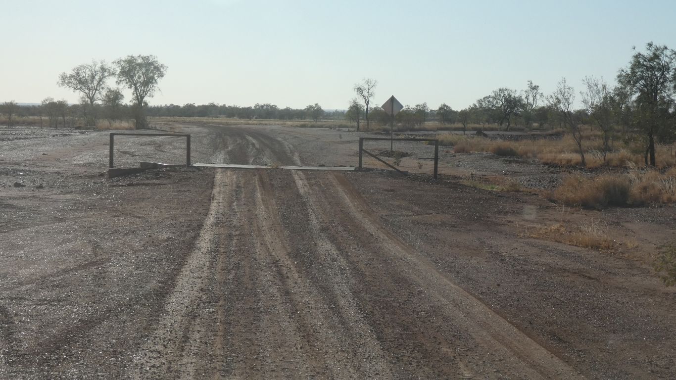
We've become more at ease with passing through gates after Northern Territory experiences. One day I guess we'll get it wrong.
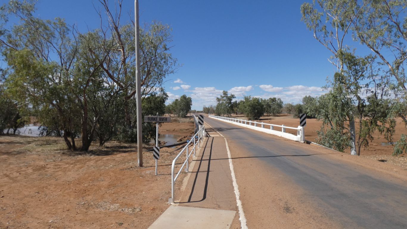
Somewhere to our left, the east, is the Burke River. The road roughly parallel to it.
Our excuse is we arrived from the east last time, this time from the north east.
The fuel is the locally produced diesel.
We leave eastwards, across the Burke River. There is not sufficient water in it to flow anywhere, but following the map suggests it flows southwards. Joining the Georgina River, which merges with Eyre Creek, to disappear into the Simpson Desert, and, if flooded, into Warburton Creek / River, thence into Lake Eyre.
A journey that takes several weeks.
We crossed the Georgina at Camooweal in May.
I mention all this because, somewhere around Mt Isa, and the Barkly Highway, as we traveled south, we crossed from Gulf Country, where the creeks and rivers flow north to the Gulf, to the Eyre Basin and Channel Country, where the creeks and rivers flow south. The Landsborough Highway seems to continue the line east of Mt Isa.
Difficult to unravel the tangle of waterways in the hills around Mt Isa.
Even the Diamantina, to our east, is confused, it begins flowing north then curls round in a big arc, around an equally confused hilly area, to flow south, through Birdsville, and join Warburton Creek near the edge of the Simpson Desert.
The Diamantina rises just south of Mckinlay, near the source of the Mckinlay River which flows north and Warburton Creek which flows south.
West of Mt Isa is the south east part of the Barkly Tableland which we crossed further north, and west, in early May.
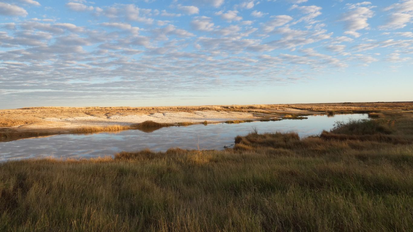
We camp outside the gate to Elizabeth Springs Conservation Park for the night.
I'd completely forgotten about the Great Artesian Basin and its mound springs. We were simply looking for a place to camp.
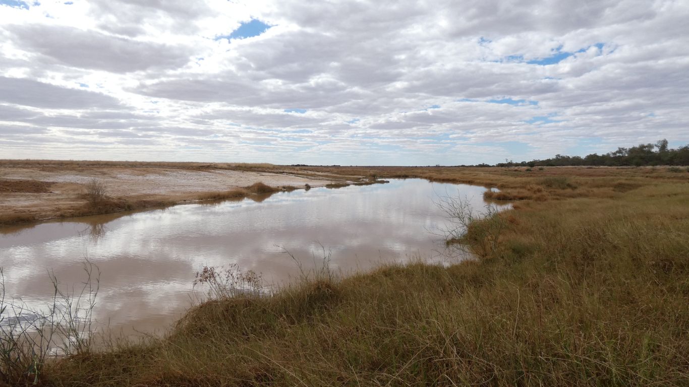
In 1896 there was an estimated flow of 4.5 million litres per day here. I guess that's where Spring Creek got its name.
By 1956 the flow was 68 thousand litres per day.
The 1998 survey showed only one spring flowing.
We were hard pressed to find that one. More a sort of oozing dampness and soggy surrounds with isolated patches of water.
I can't begin to imagine how the landscape has changed.
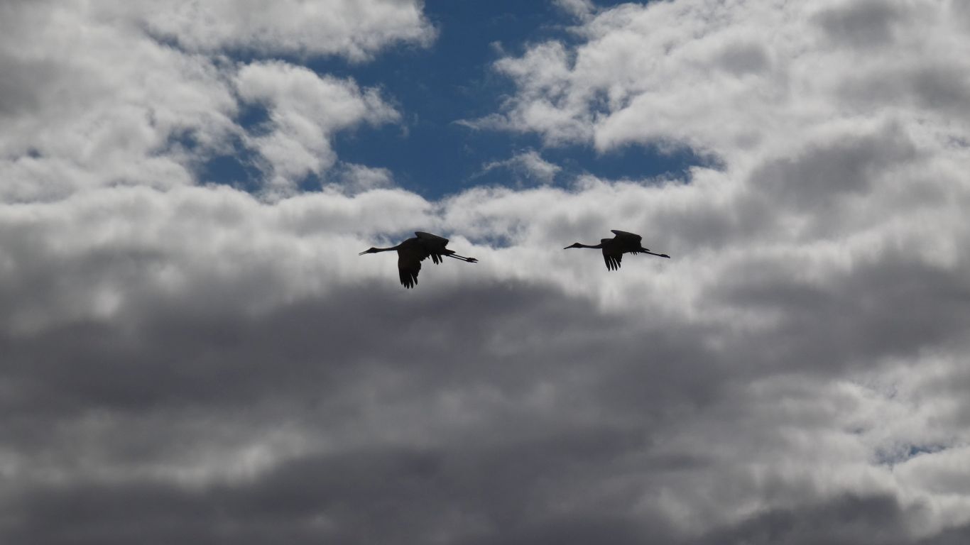
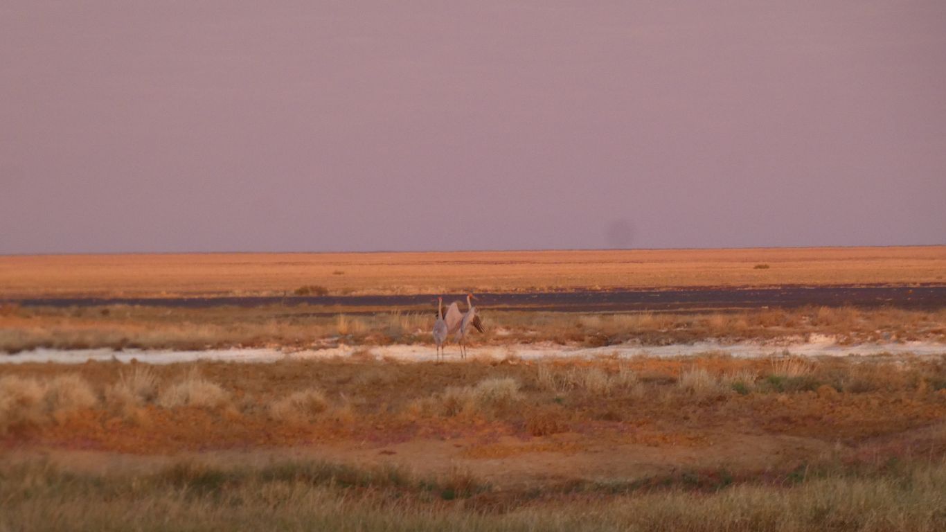
A pair of passing Saurus Cranes ........ if they are the same pair I saw next morning.
Either cranes or brolgas. There is just sufficient difference in the red about their heads to distinguish.
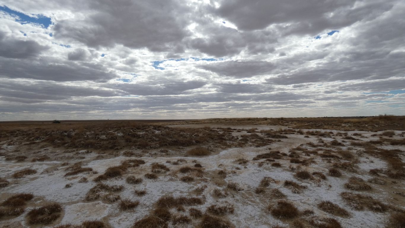
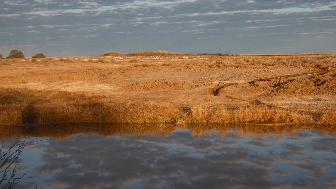
If I'd ever been to the moon I may have said lunar. Apart from the clouds. And the plants. And the water. And the .......
The pigs stop short of turning over the very salty ground around the springs.
A few drops of rain from the thickening cloud were of very minor concern.
But failed.
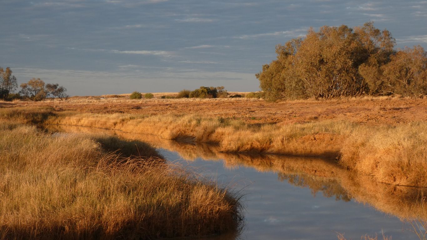
Looking south along the edge of Spring Creek, which almost flows into the Diamantina River. Unless in flood it is absorbed by sand, in the Diamantina National Park, just a few km short of joining the Diamantina.
The few ducks flew away well before I got anywhere close to knowing they were there.
Very different to last evening's silver.
The remote switch on the inverter has stopped functioning, it requires shorting two connections on the remote circuit board.
Not Ali's forte.
But how nice that she joined me in the early morning venture.
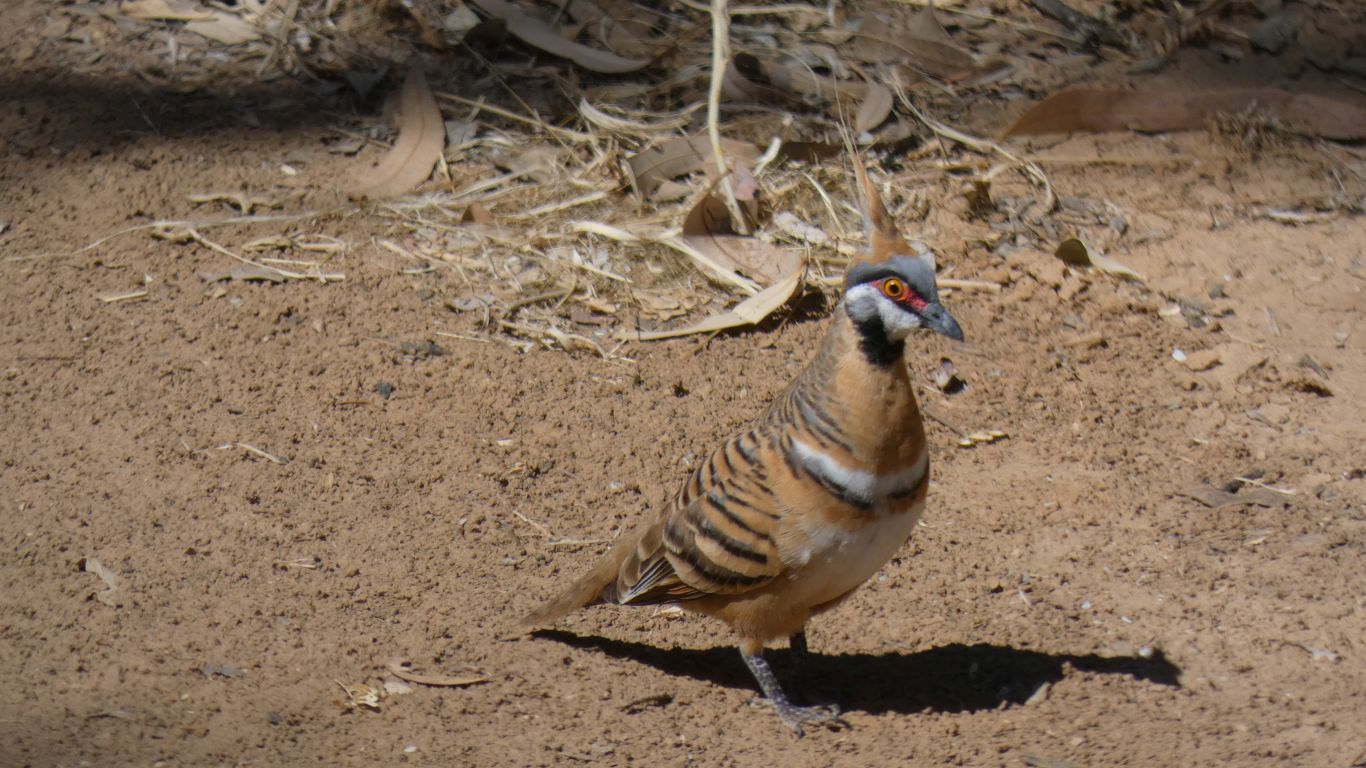
There was a flock of zebra finches. I can associate them with drier climates.
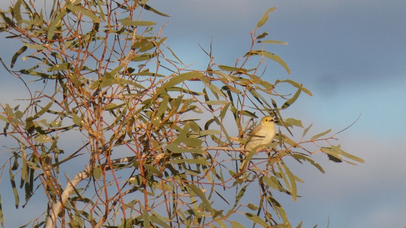
And this, one of several, I think, honeyeater. A white-plumed honeyeater.
At least it wasn't flying around trying to catch flies.
We cross Nine Mile Creek, a tributary of Spring Creek to which the road runs parallel.
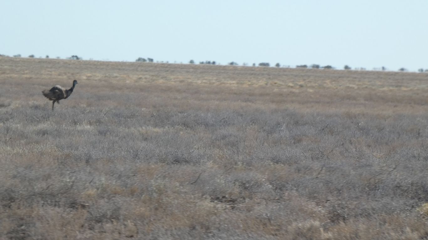
Our first emu for the entire trip.
Two of them that insisted on trying (almost successfully) to run faster than the truck.
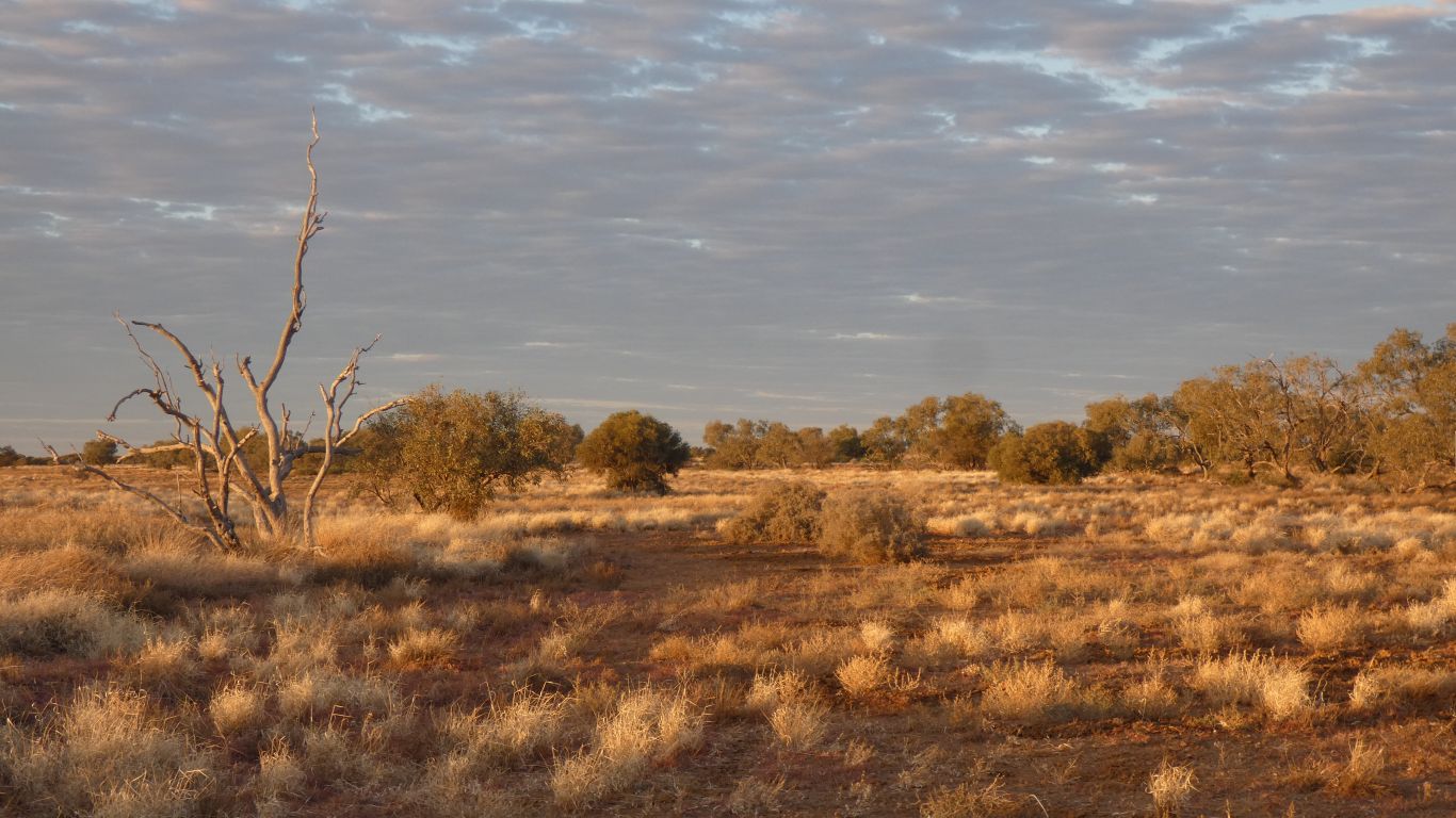
But more importantly, the vegetation changed radically as we entered Diamantina National Park.
No (or at least few) cattle to eat it I guess.
The further from the boundary the healthier it looked.
Though I have no way of defining "healthy".
We are just south of the Tropic of Capricorn, about the same level as the northern reaches of the Simpson Desert, about 200km east of it. We are thoroughly within arid Australia. The number of creeks on the map reduced markedly south of Boulia. As did the number of roads and tracks.
South west of Diamantina National Park is the (to me) strangely named Astrebla Downs National Park, which has no public access. While doing a little research on Mitchell Grass I discovered that Astrebla is the latin name for Mitchell Grass. Astrebla xxxxxxx for each of the four types.
Rising about 60km to the north it fades into the sand dunes about 8km to our south. Near the end of Spring Creek.
Looks like dunes on our maps rather than soggy swamp.
Small compensation for the apparent (they may appear later) lack of whistling ducks (or ducks of any description) on what is only 7km downstream of where Whistling Duck Creek joins Gum Creek.
The advertised water view partially obscured by a little vegetation in some parody of an obscure English seaside hotel where sea views are a matter of standing on one's toes with head held at an appropriate angle.
Not quite that bad, I just had to park the truck at the right angle.
Now to find the bauhinia trees!