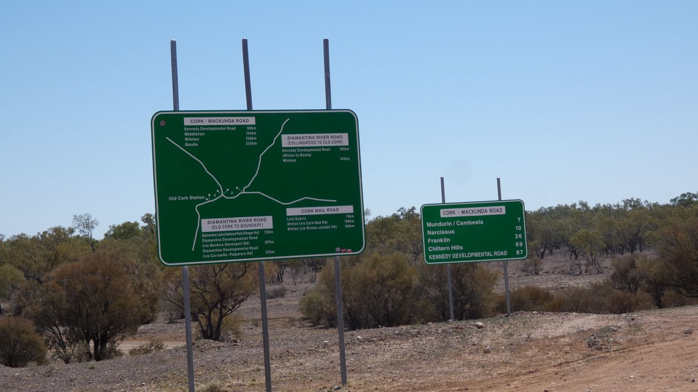
A little map of the loop, with numbered interesting spots, that could have been useful before we drove it. Though we saw most.
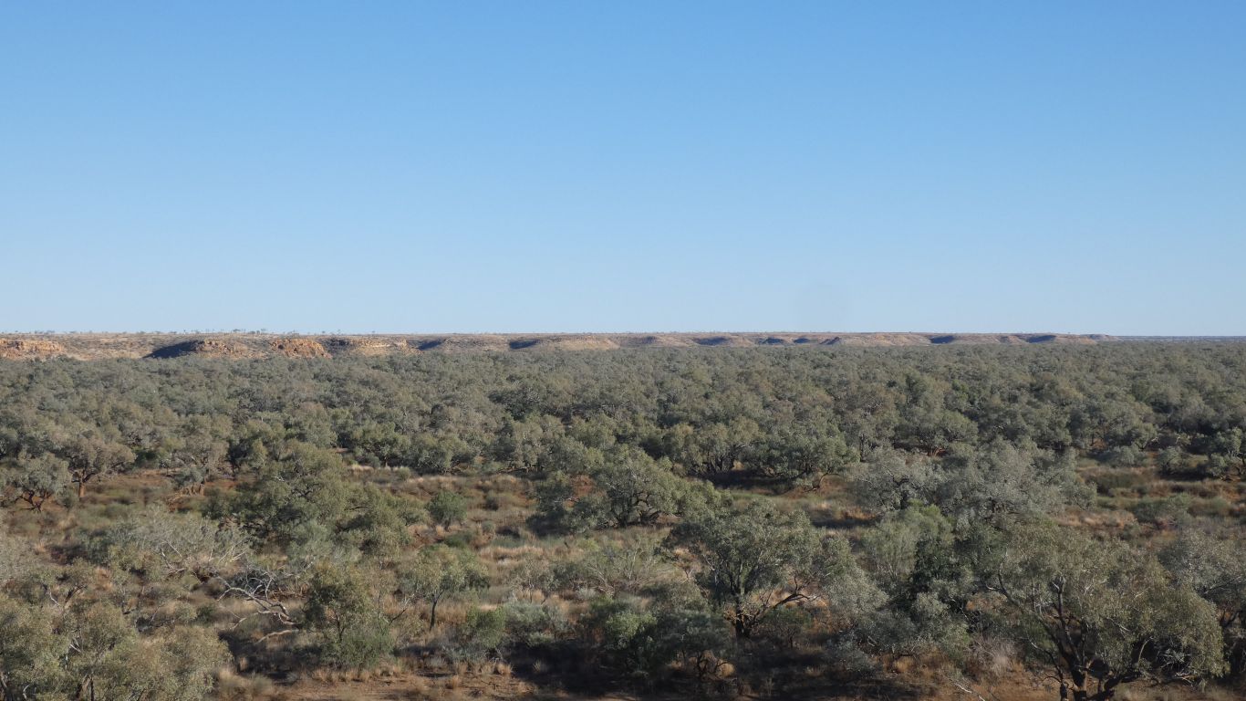
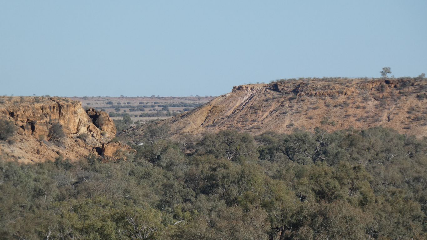
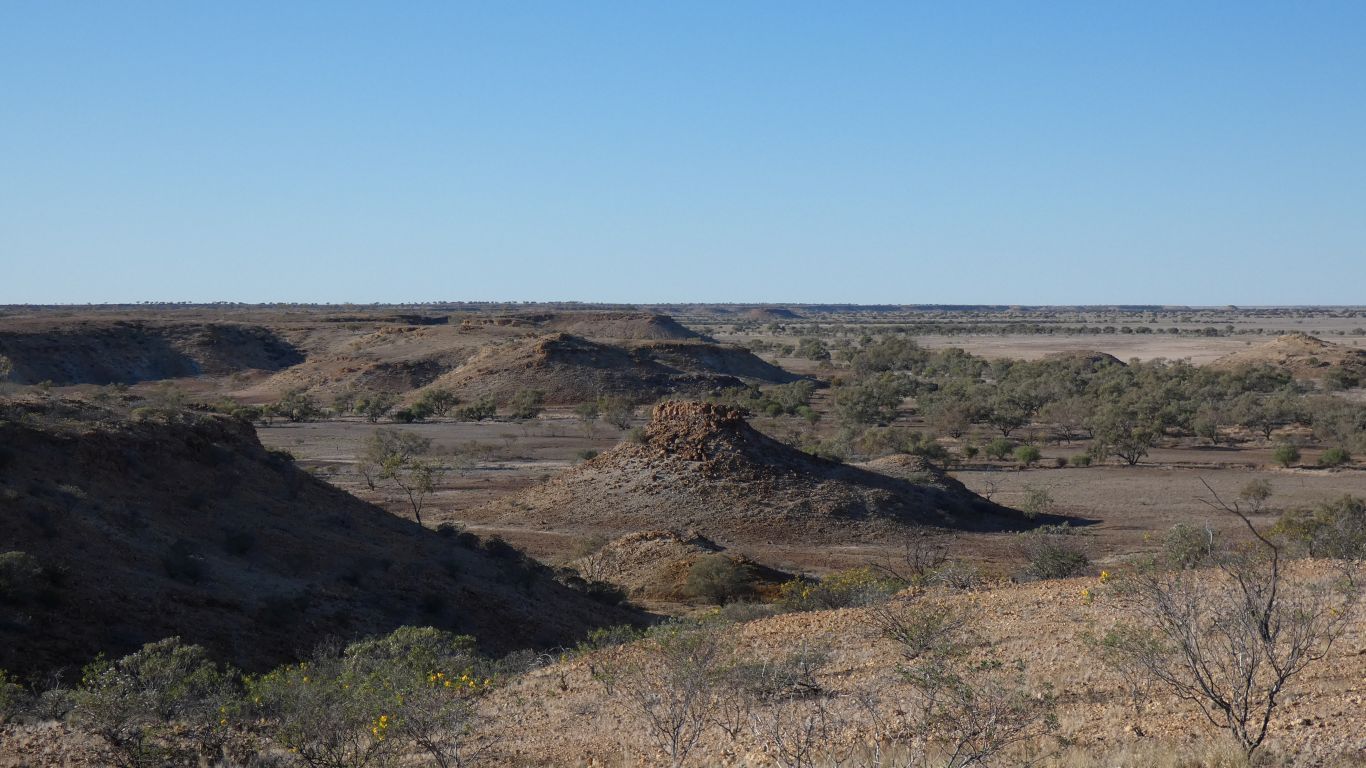
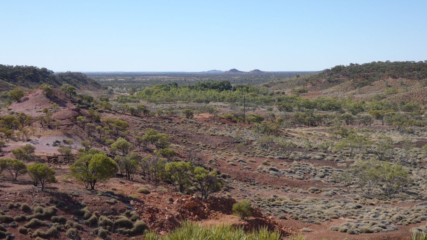
The east side of the Diamantina Gates - aka the gorge.
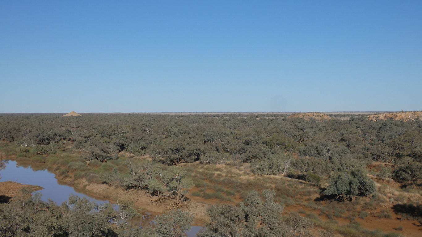
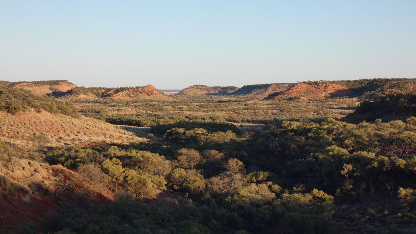
Moses Cone in the distance.
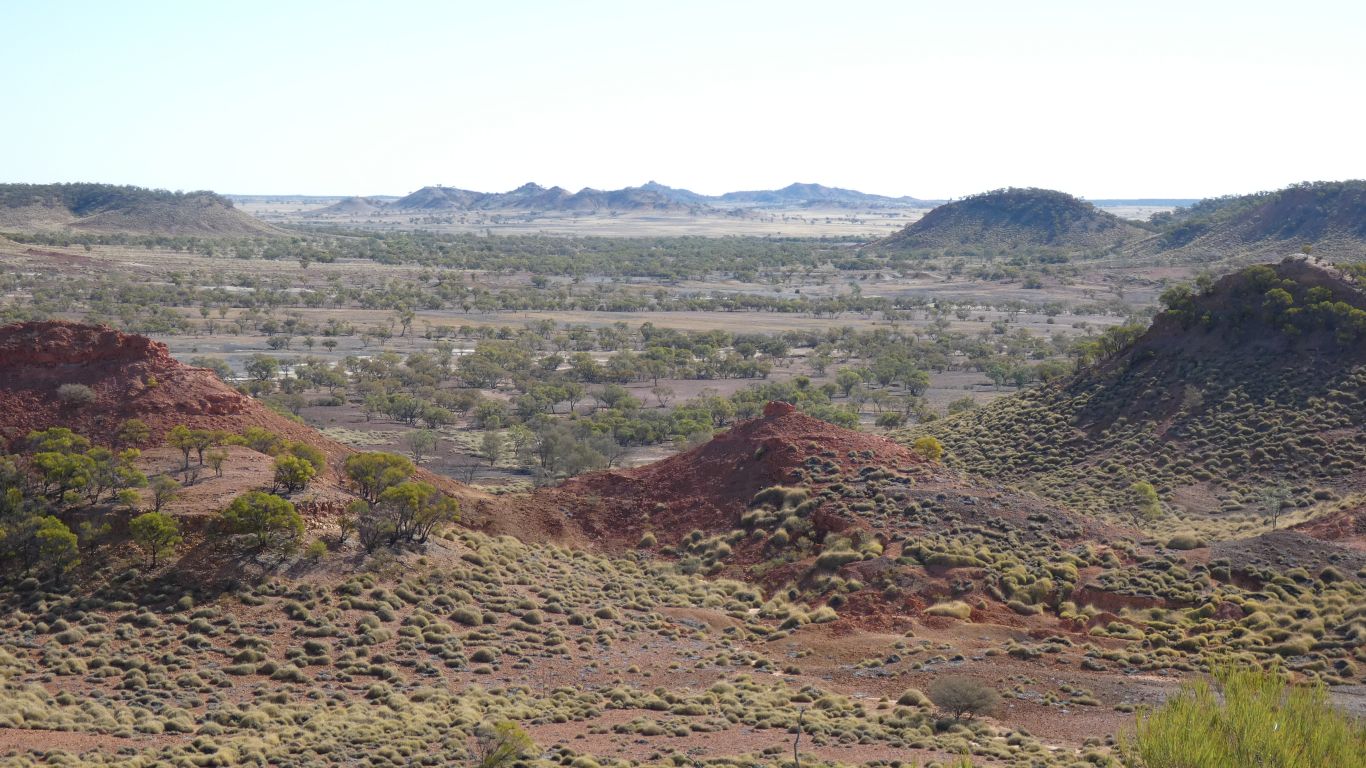
At the confluence of Mayne and Diamantina Rivers.
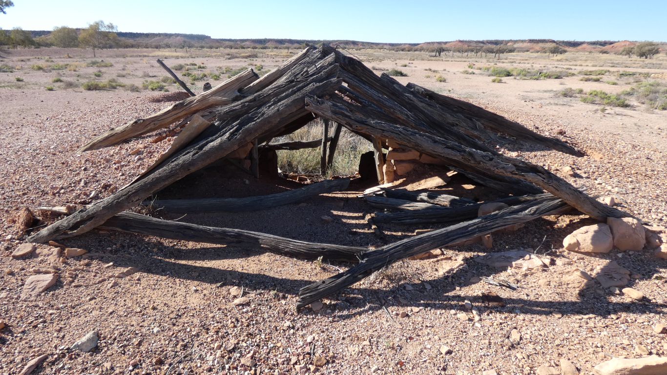
On a Cobb and Co route.
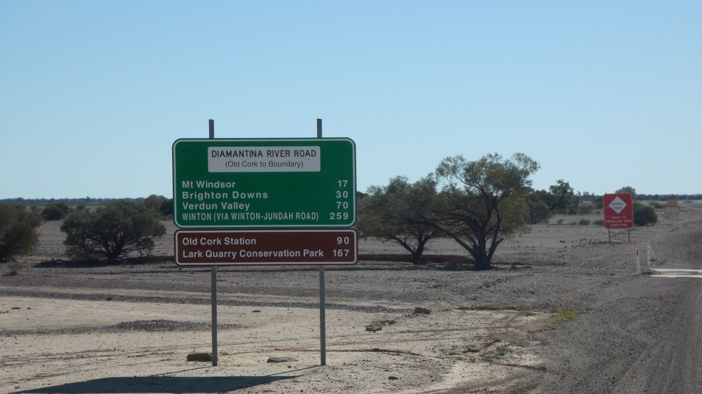
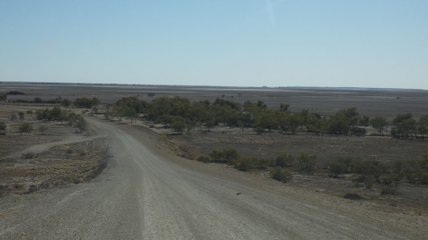
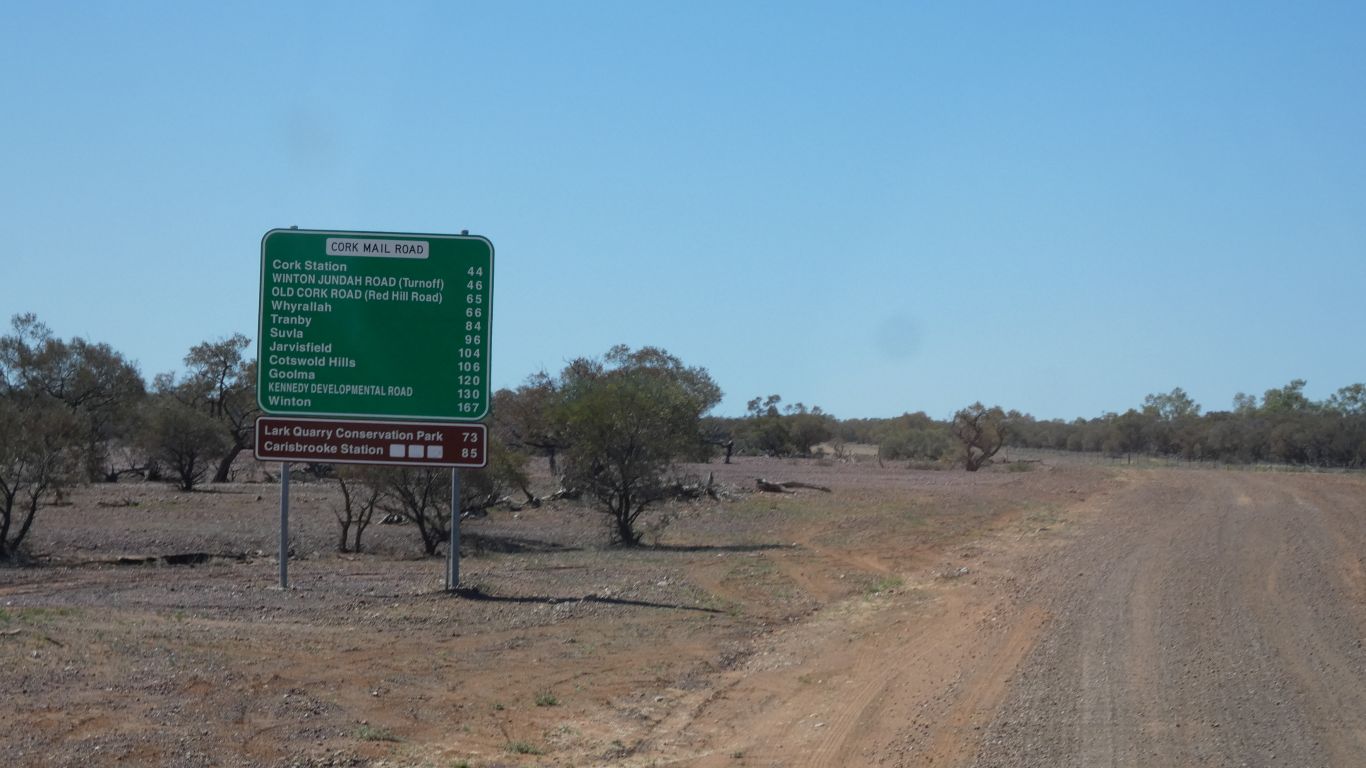
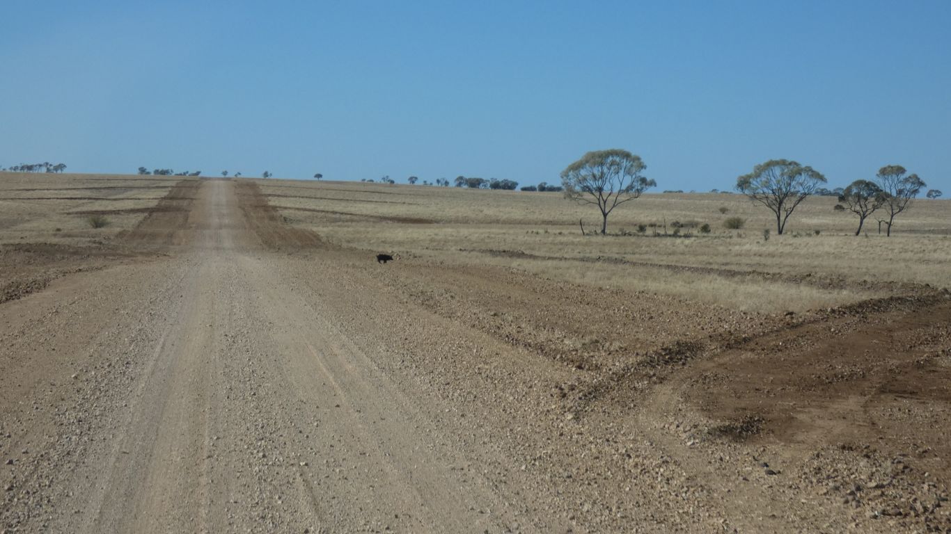
The road sufficiently bad I let some air out of the tyres. The signposts first class.
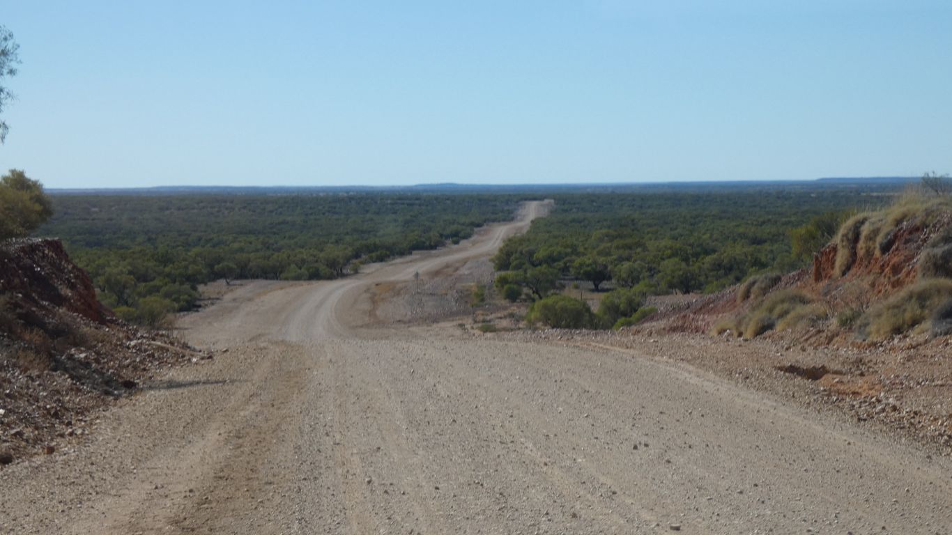
We can't possibly go wrong ....
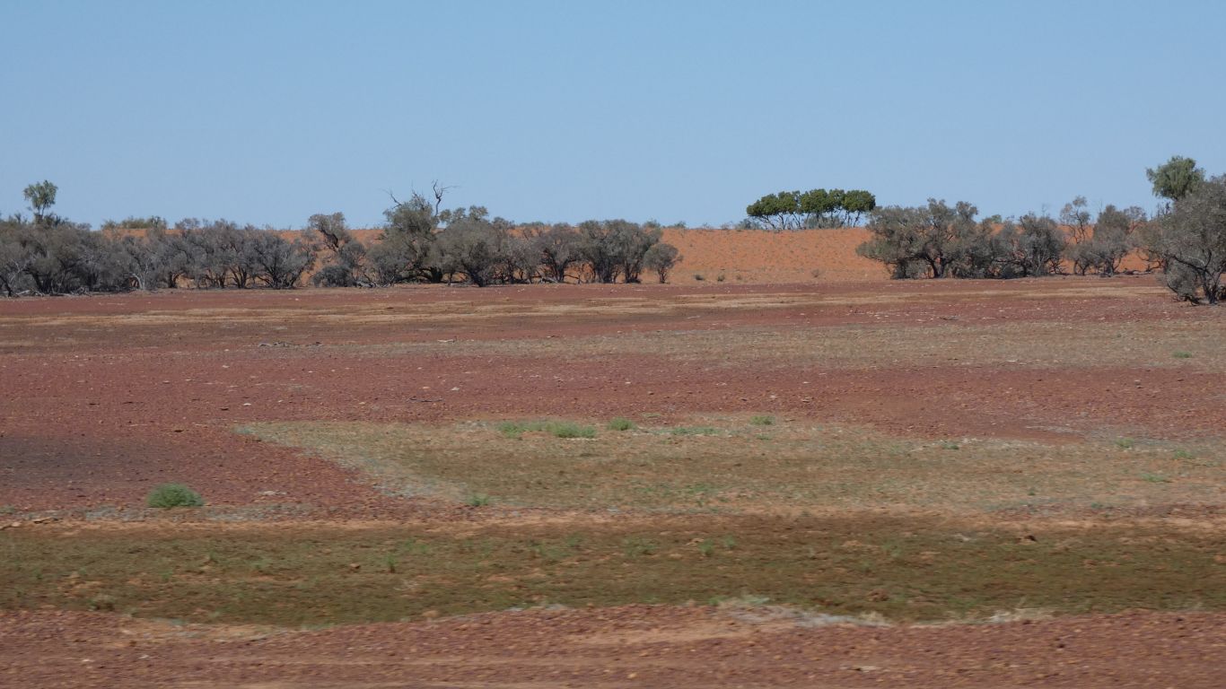
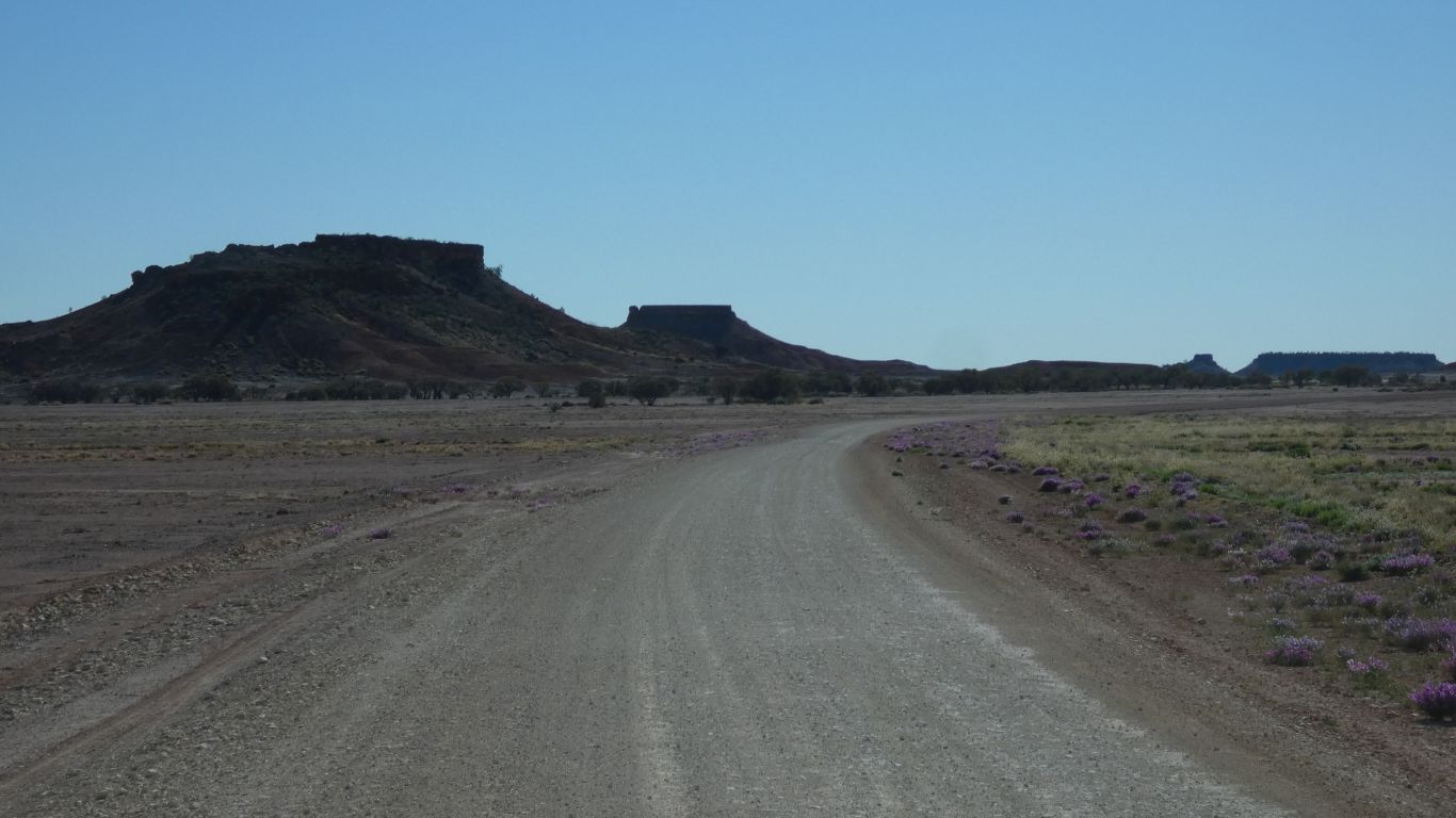
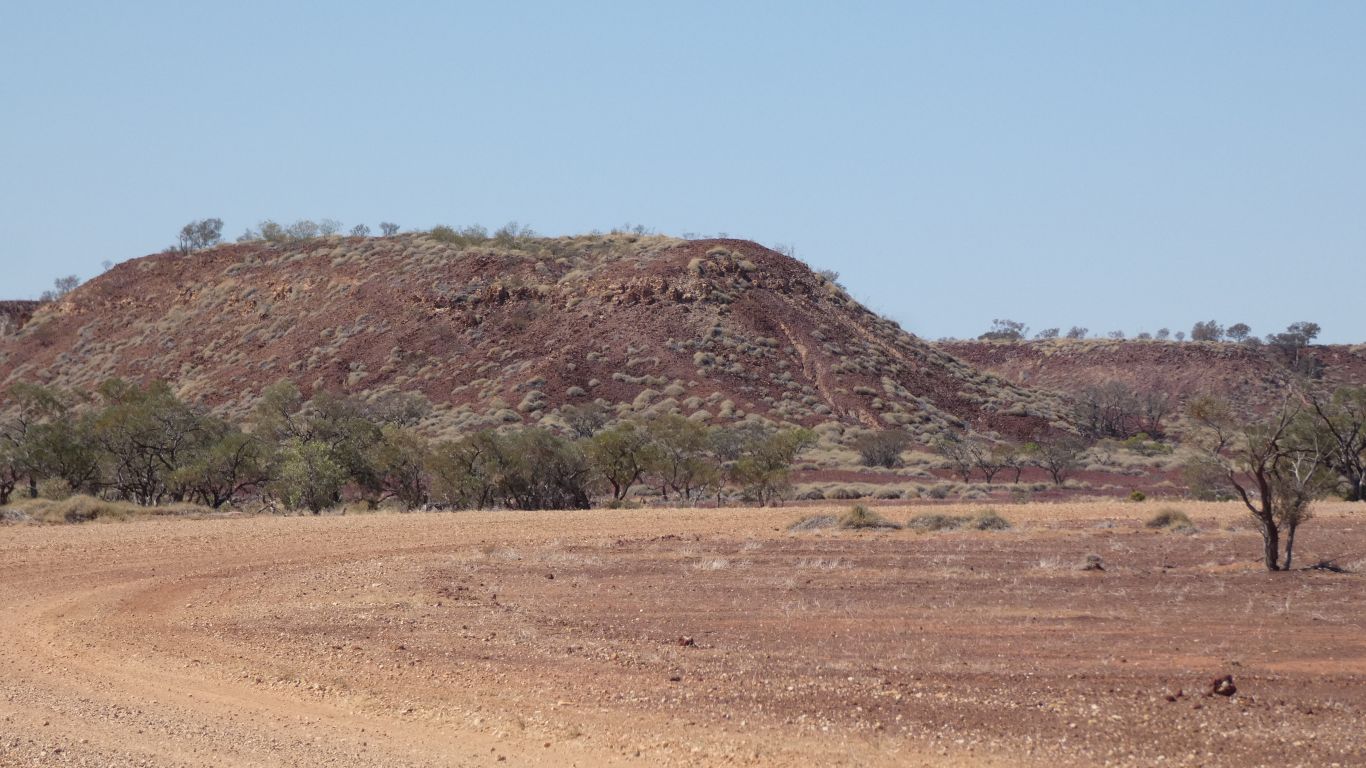
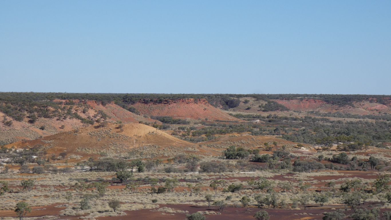
More iron oxide.
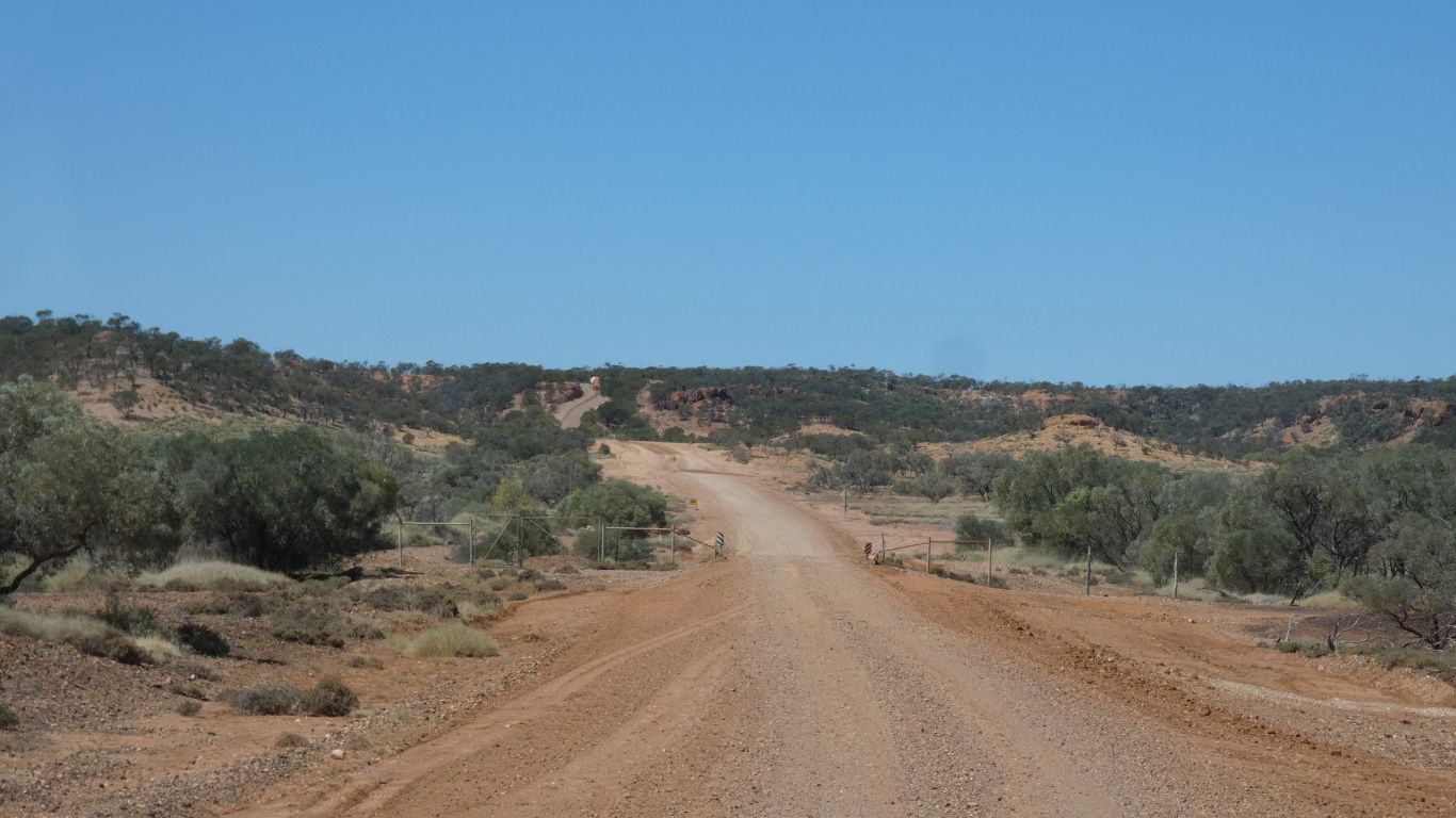
Barcoo Shire road maintenance has been a bit better than Winton Shire. Slower maximum speed with low tyre pressures, but more consistent, no slowing for obstacles and corrugations, so overall better time.
An opal hunter found some interesting things.
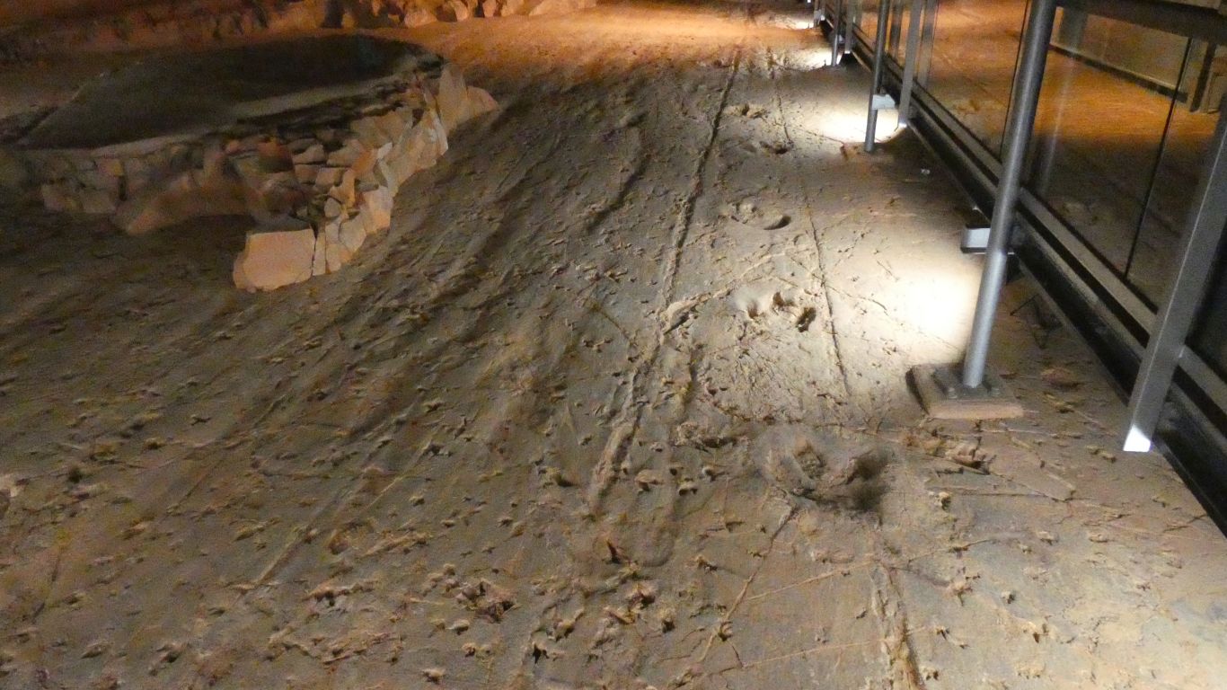
The large footprints on the right are of the theropod. Not so tall, with big feet so it doesn't sink in mud, so shortish steps, but running. It turns away to the right after 6 prints.
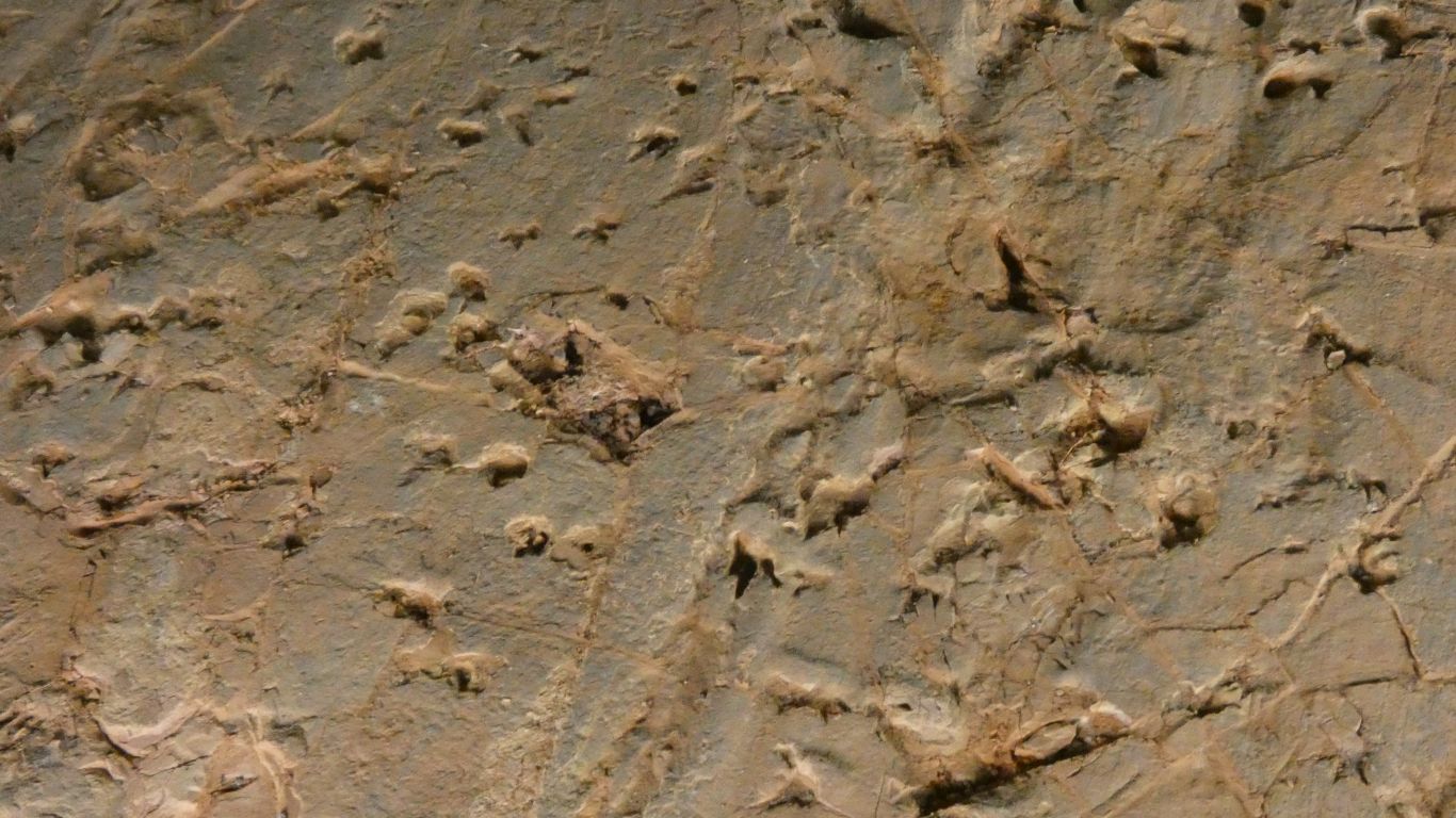
The medium prints from emu sized ornithopod.
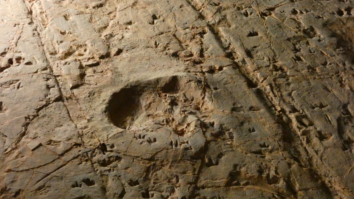
This was a single event. Small tracks disappear under, and some on top, of the big tracks.
Consensus is that the coelurosaurs and ornithopods were drinking peacefully from a lake (at far end of pics) and scattered to head towards the safety of trees behind as the theropod arrived, and chased something.
The lines in this pic were of cause unknown, but occurred before the tracks. Perhaps tree branch (though long and straight and thin perhaps unusual tree.
About 60 tonnes of sandstone were removed to uncover the site. A thin layer of ironstone allowing relatively easy separation.
We didn't get to dig around in the original quarry nearby.
So we went for a 3.5km loop walk to the west of the centre.
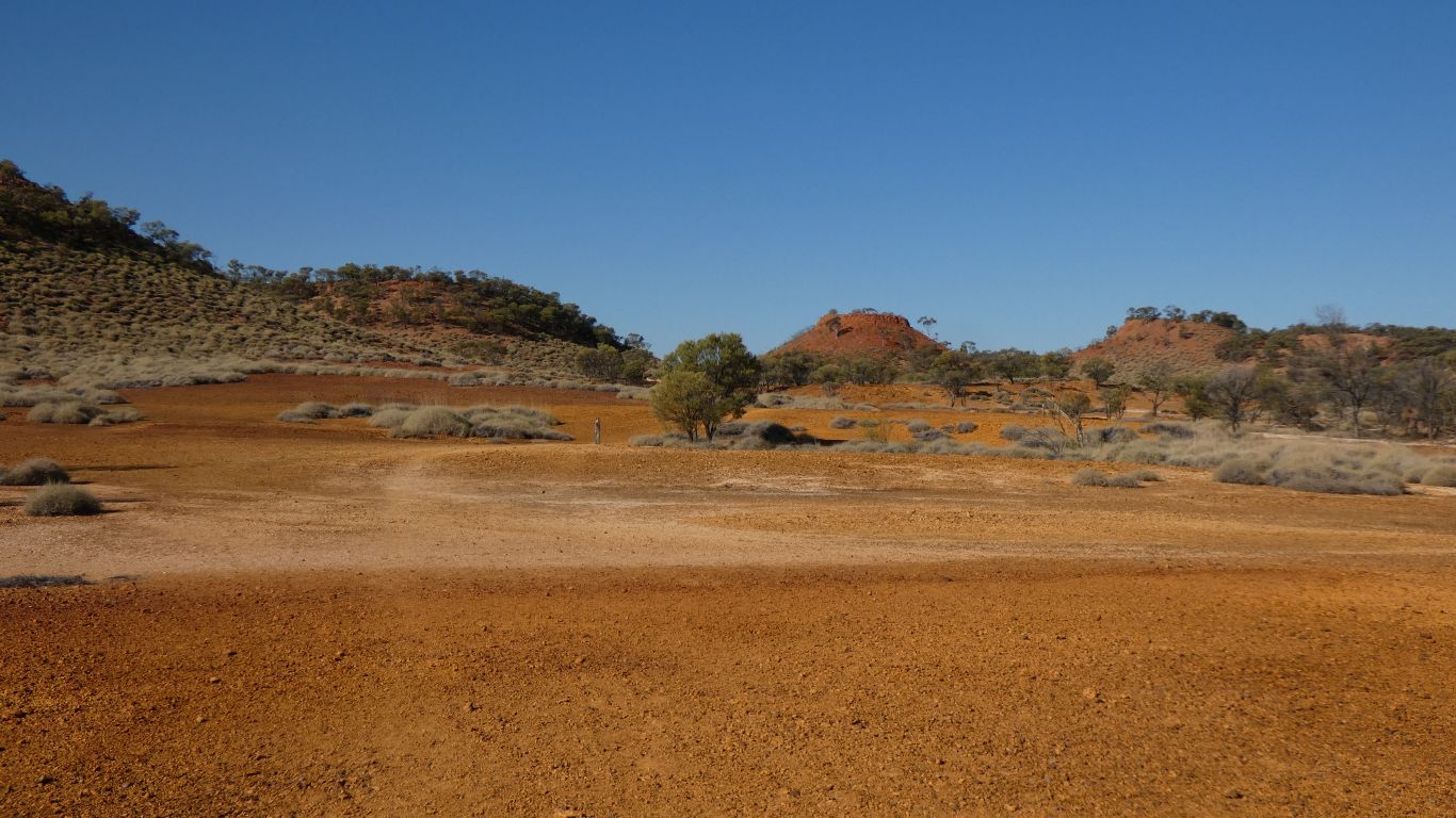
The yellow would possibly make good ochre.
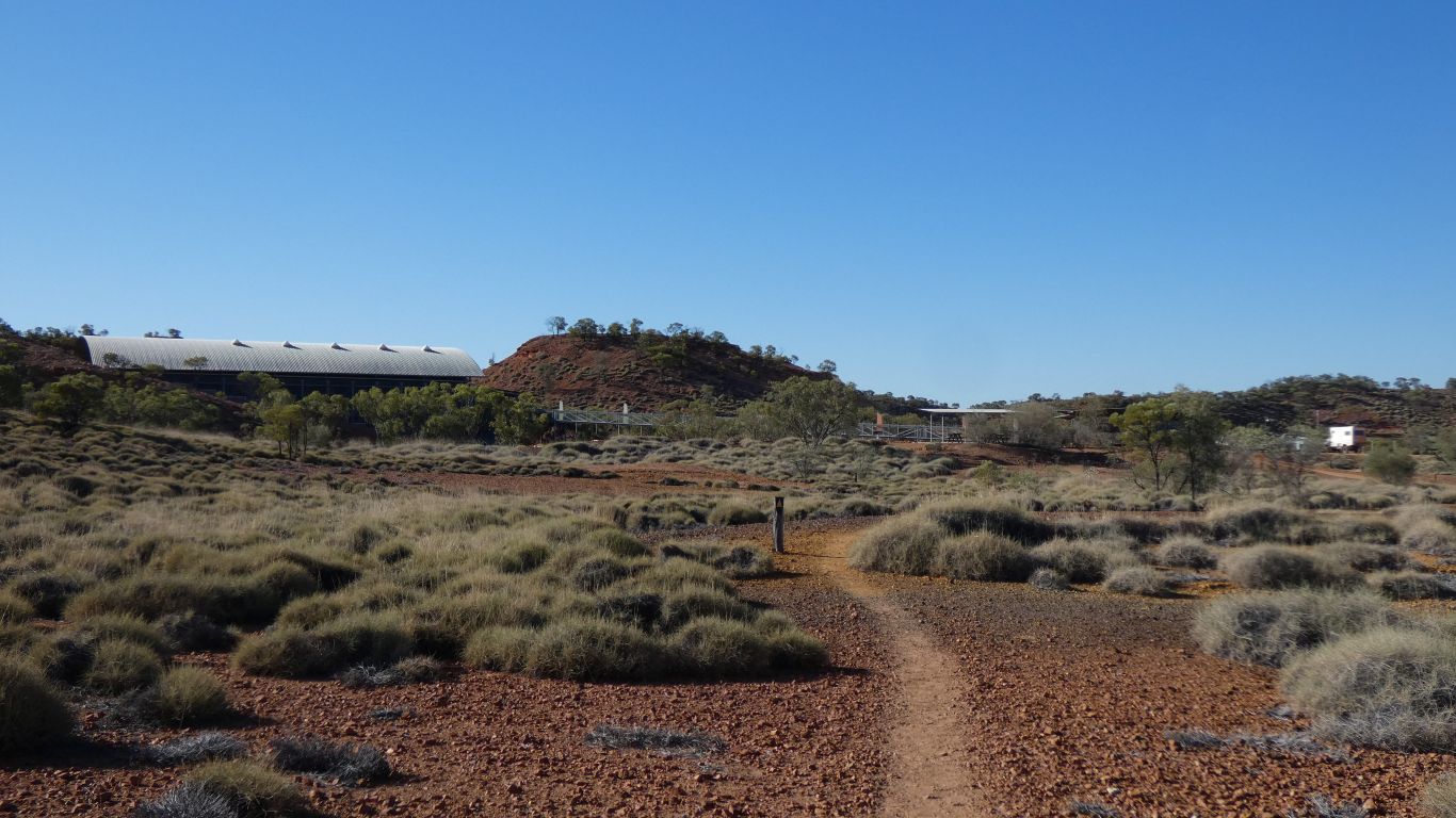
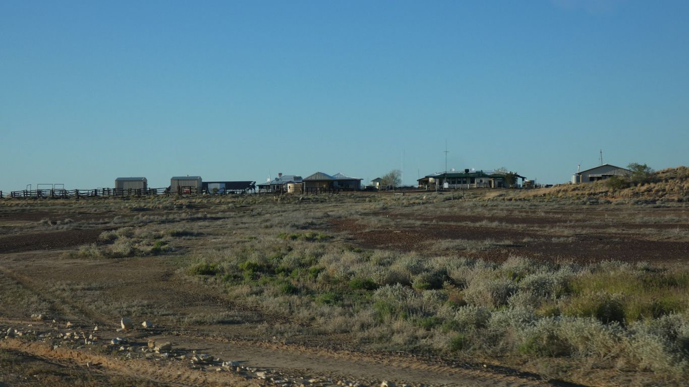
The dinosaur centre is off the pic to our right.
Important was the Telstra mobile phone signal emanating from an antenna above the ranger house.
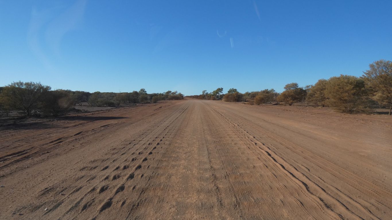
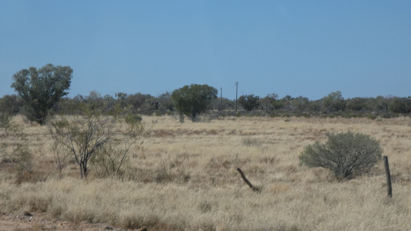
More corrugations. Which was ok as I hadn't pumped up the tyres.
I need pictures to help me distinguish.
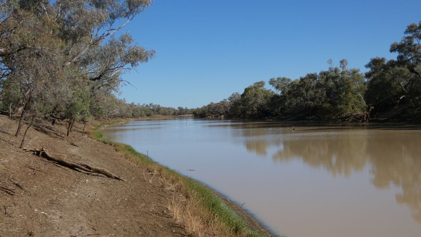
Heaps of campsites spread out along the river bank. At least 100m apart. Spoiled for choice.
Zebra Finches, the inevitable whistling kite, and, surprisingly to us, honeyeaters. Not quick enough with the camera for turtle and kangaroos.
The only info at the campsite entrance was about catch limits and sizes for freshwater fish. We by-passed the ranger station.
Our efforts to find information on Hell Hole Gorge have proved a little fruitful. Our knowledge has shifted from "not accessible by road" to "mud maps are available a Quilpie Info Center and Adavale Pub". Also something about a permit for a walk to Spencer Waterhole, about 2km walking along creek bed from the Hell Hole Waterhole campsite. But the web page referenced is defunct.
Looks like we'll have to approach Hell Hole Gorge from Adavale, from the east. Which means a detour to the south. Next stop Welford National Park, on the Barcoo River. Though we'll stop at Jundah for water and whatever else they have that is useful to us.
The image is of the river in flood.
Its dry now, no flow. We really are camped next to the peaceful looking (last pic) billabong.
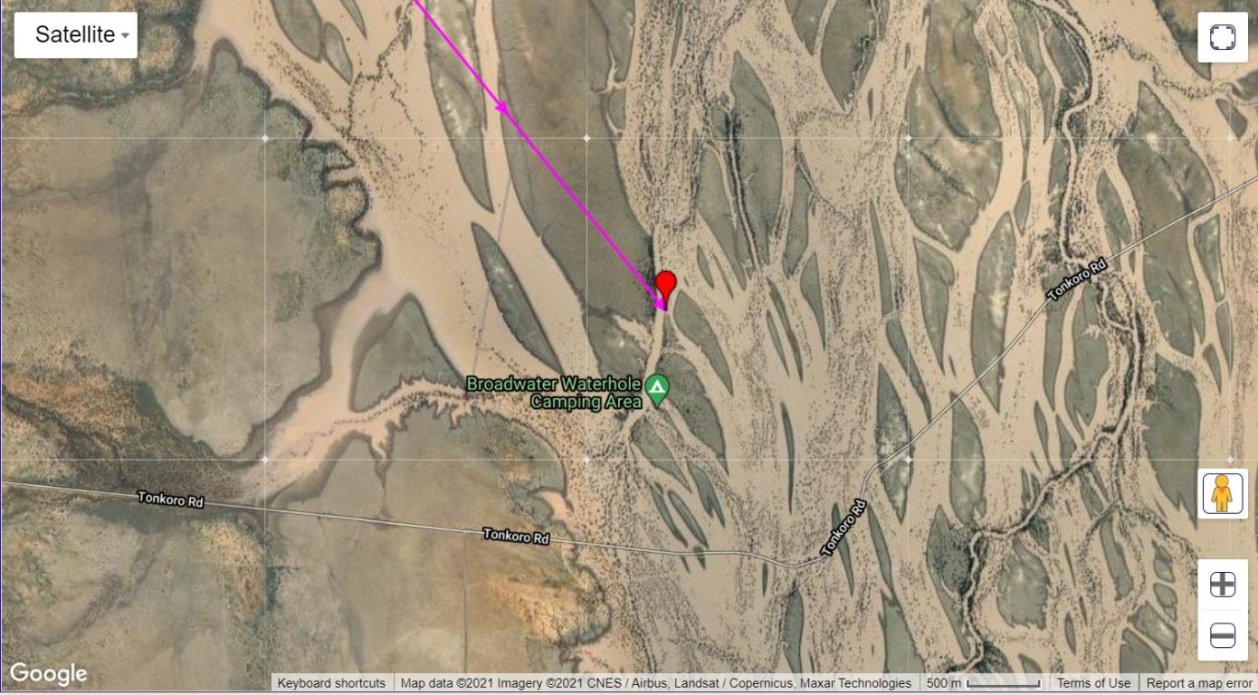
I'll have to look at the gps map track to figure out how we got here.
I guess if it rains anywhere upstream we should beat a hasty retreat .....
About 5pm the phone rang. Scam call, but a big surprise to have a signal. Hoisted the modem up the pole and we have internet. I have no idea where the signal is coming from, but likely a long way.