Diebil Hills July 29 - 30 2024
 
  Savory Creek.
     
  We didn't expect water. Perhaps lack of research?
     
  Futher up its dry.

As a crow flies it rises 300km to our south west. South of Newman, near the Great Northern Highway.

Someone took the direct approach.

     
  We followed the hardened track.
     
  We haven't seen many camper trailers.

This one didn't quite make it.

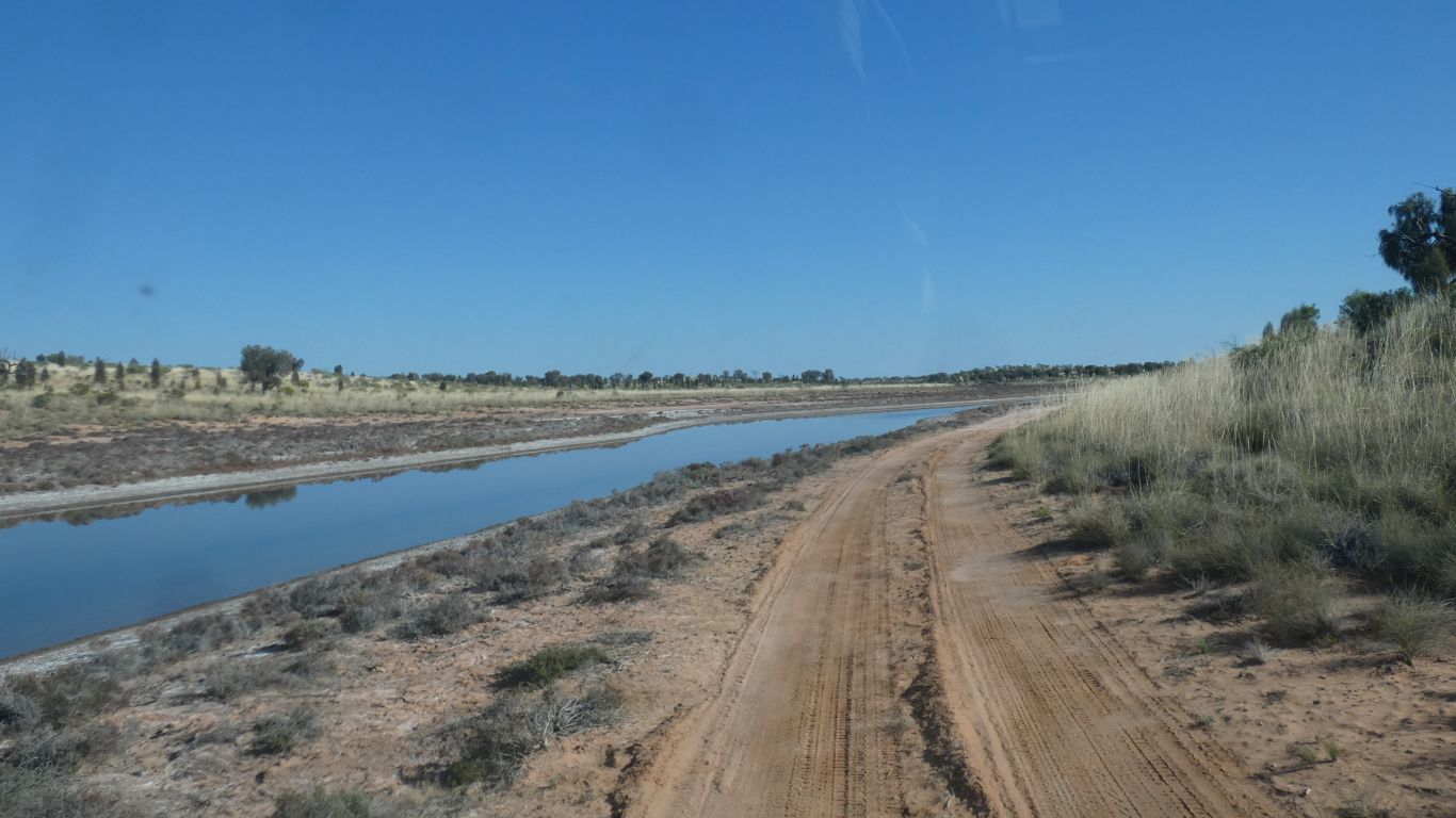
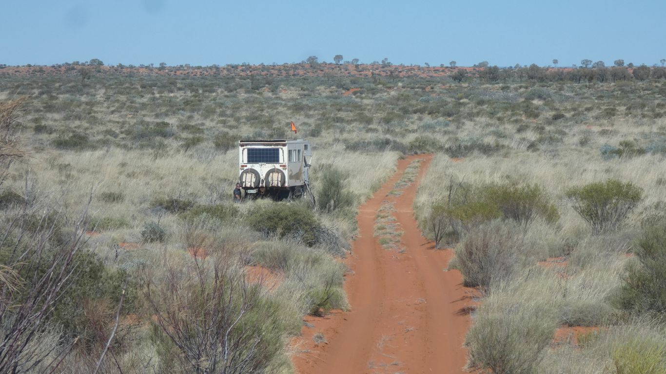
A reminder of the conditions.

     
  Past well 19.

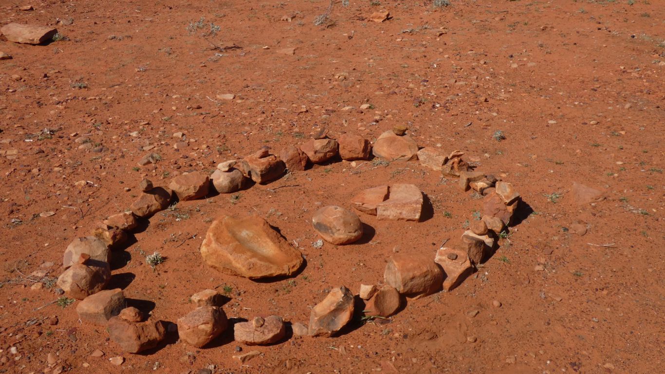
Not much left, but someone has dug a meter down to water.Which the birds enjoy.

     
  I take the opportunity to do what I forgot to do before we started this morning.

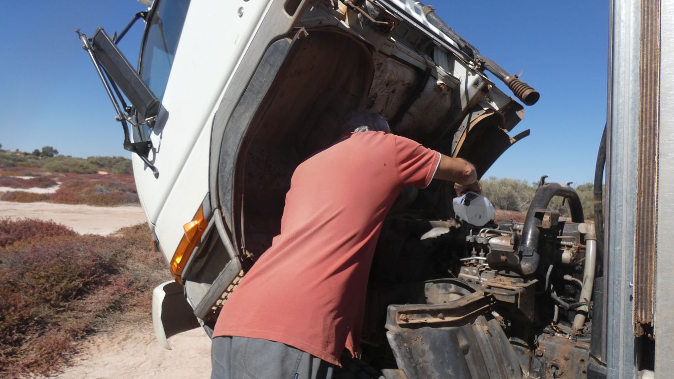
Check the engine cooling water.

About a litre.

One day I'll find the slow leak.

     
  We cross the Tropic of Capricorn.

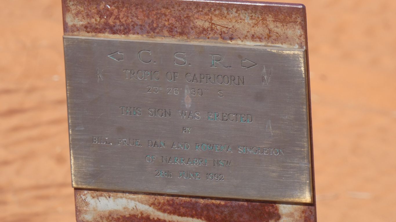
Most lines on maps are meaningless to us. Markers of territory. Tribal, county, country, etc.

The tropic indicates the most southerly point that the sun is overhead at noon on the summer solstice.

South of here the sun is never directly overhead. Always declined to the north.

     
  We also cross another dune. One of many.

But distinctive as its a bit soft and steep.
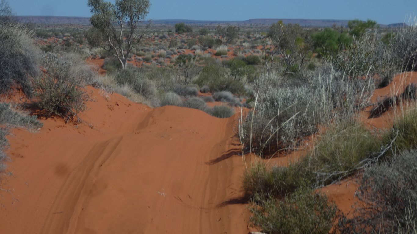
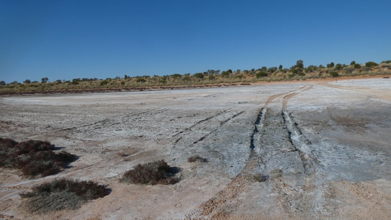
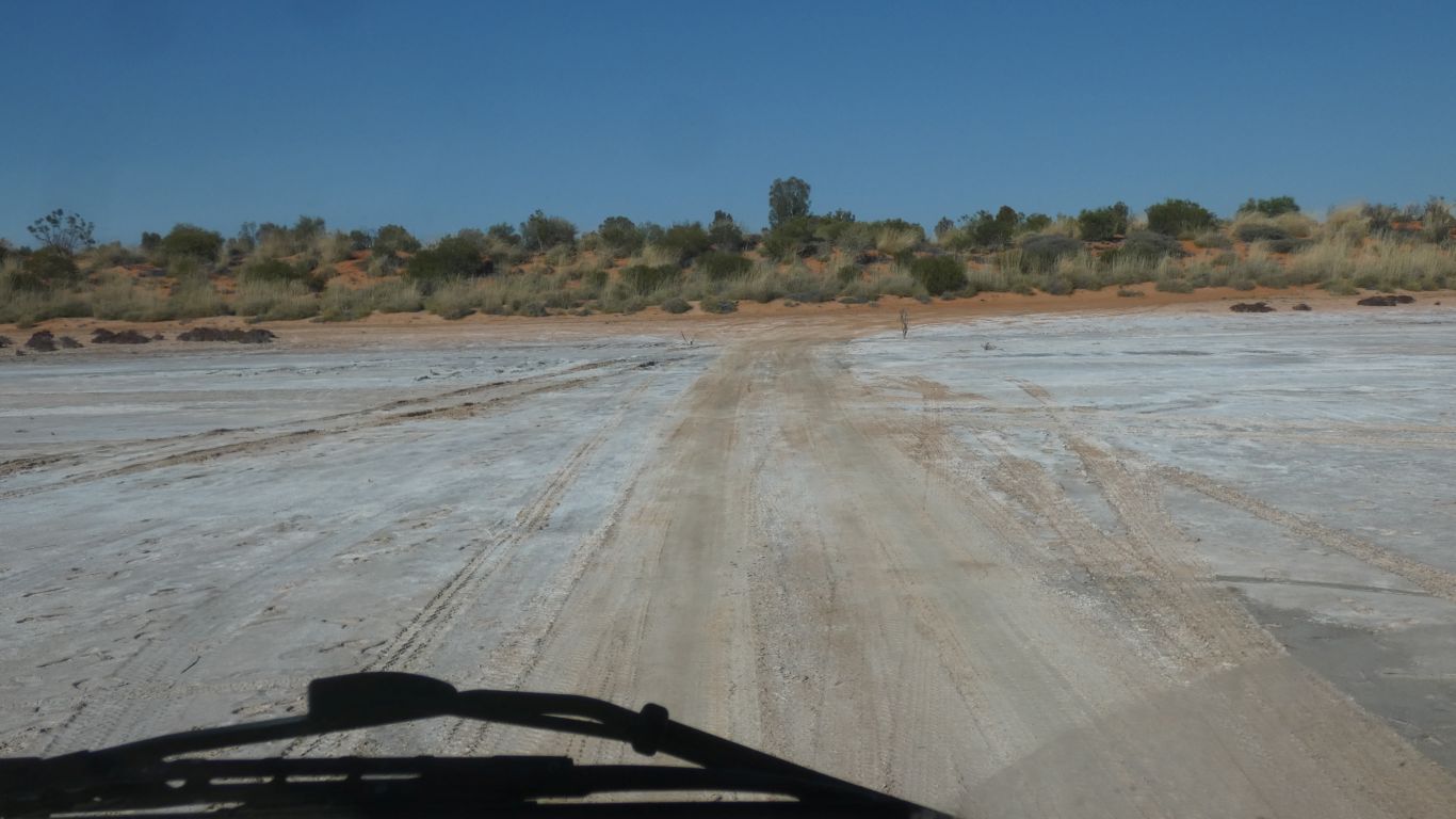
     
  Not so soft that our very much deflated tyres don't leave tread marks.
     
  The vegetation constantly changing.
     
  A brief 5km detour to Onegunya Rockhole.

Dry.

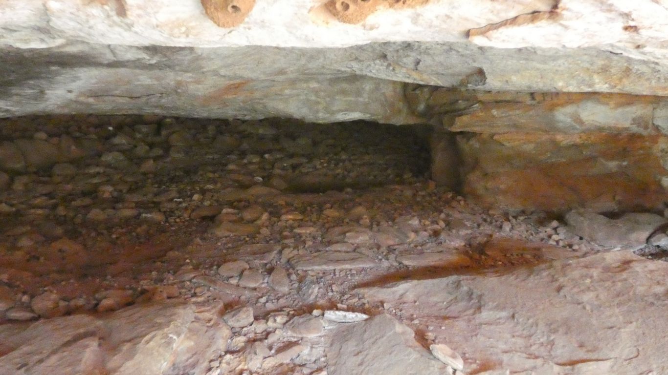
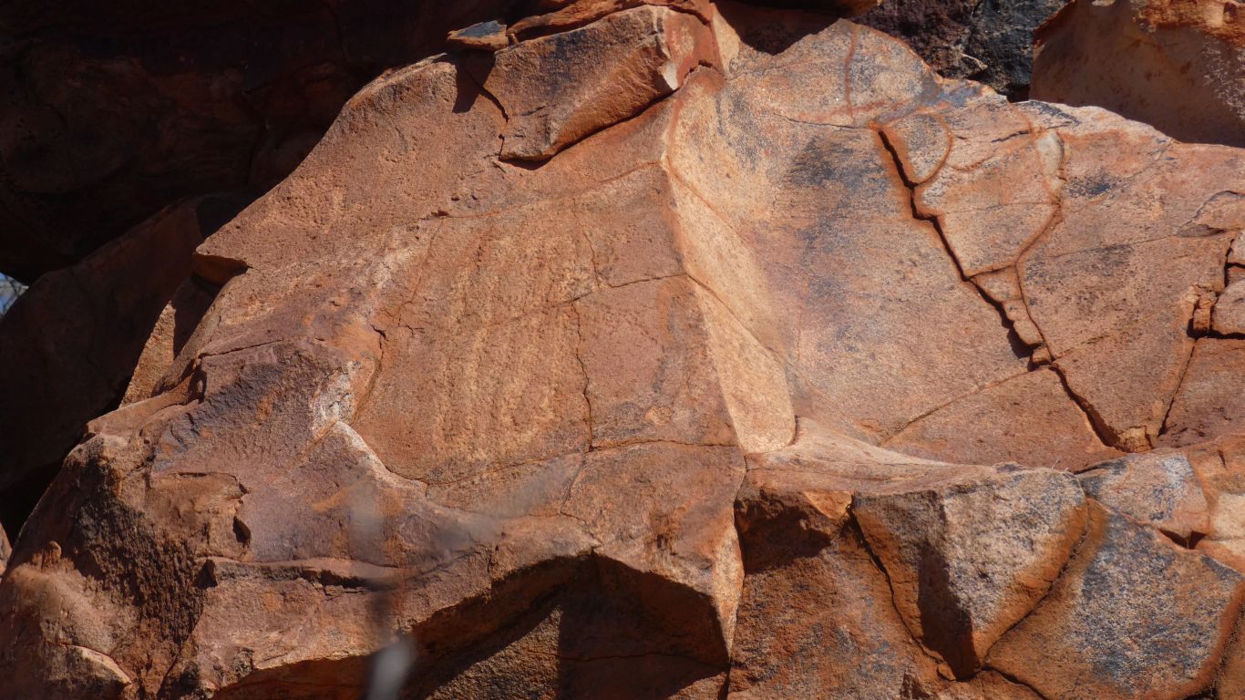
With hints of rock art.

     
  A nice view from the top.
     
  And a well trodden track. We followed for a bit.
     
  I wonder what it is.
     
  Further along is apparently a site significant to Aboriginal women.

We retreat.

     
  Someone has highlighted remains of grinding equipment near the rockhole.
     
  Onward and southward.
     
  We turn west towards Diebil Hills.
     
  Through a gap in the hills.
     
  A convenient hairpin.

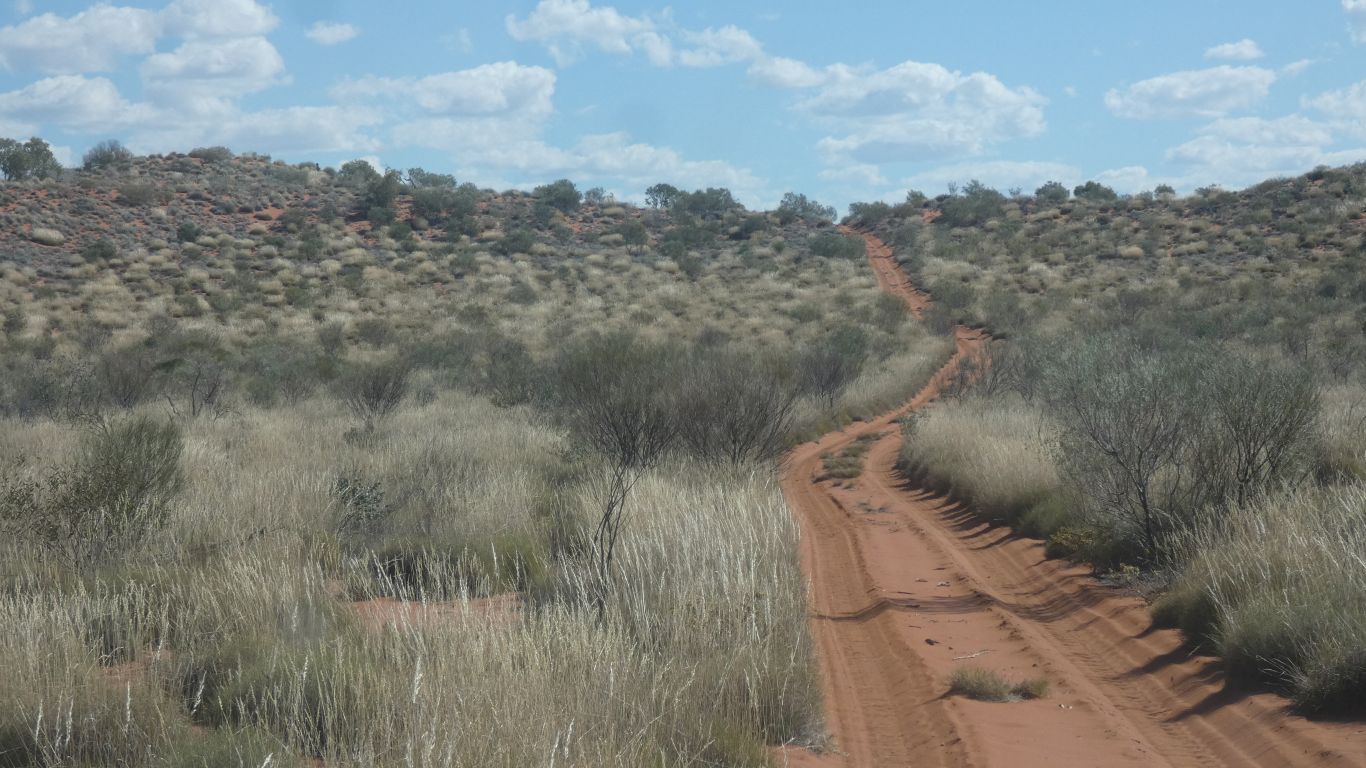
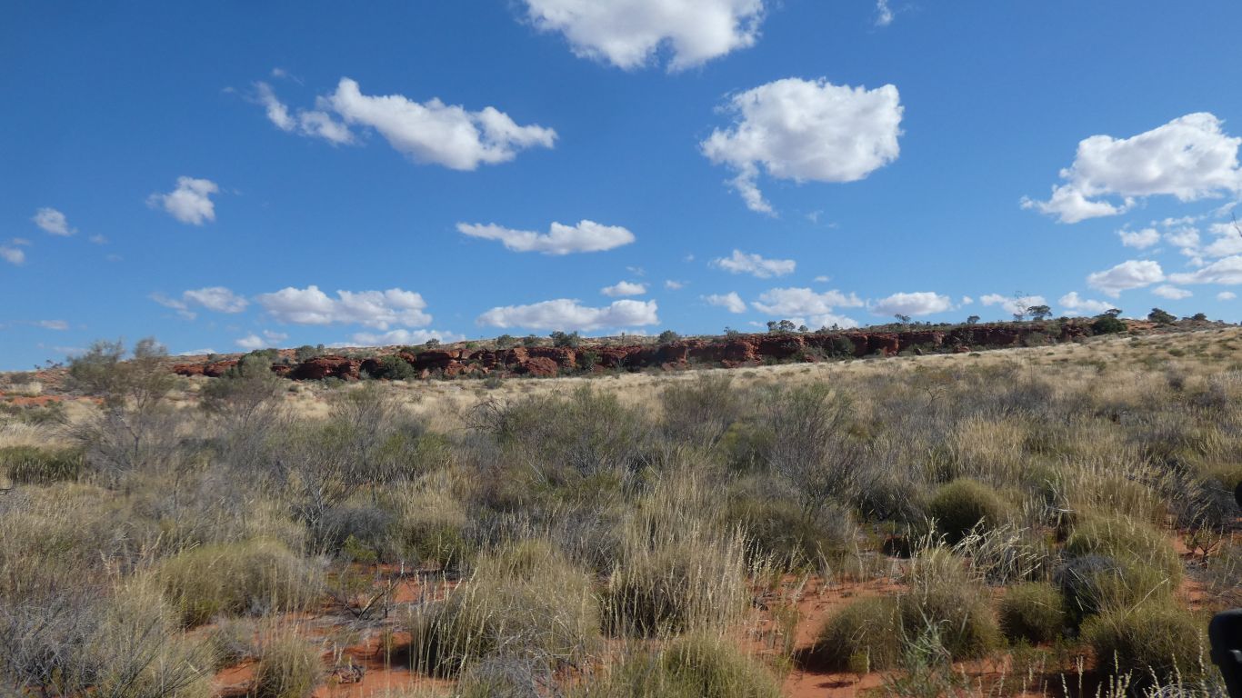
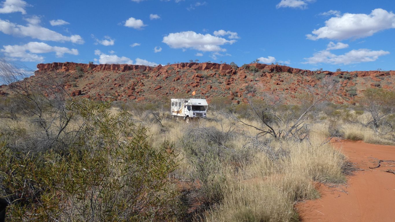
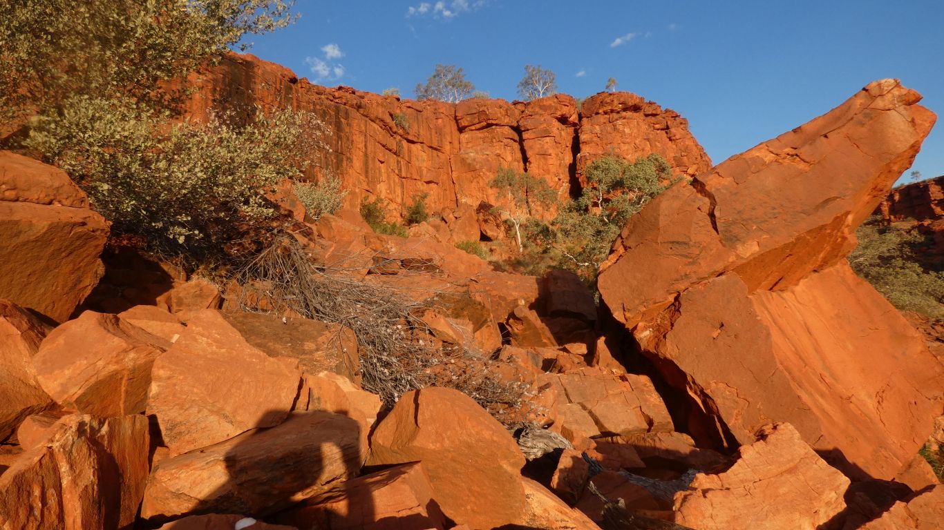
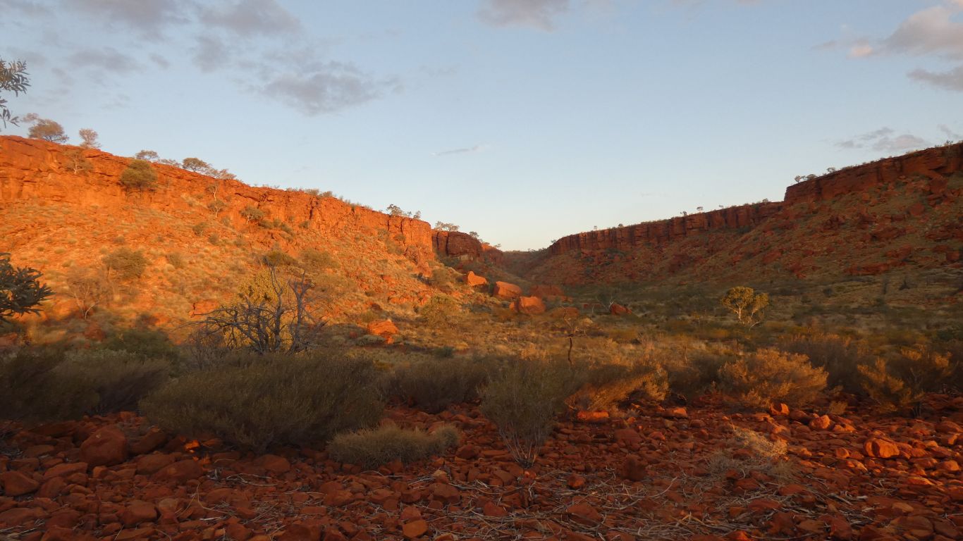
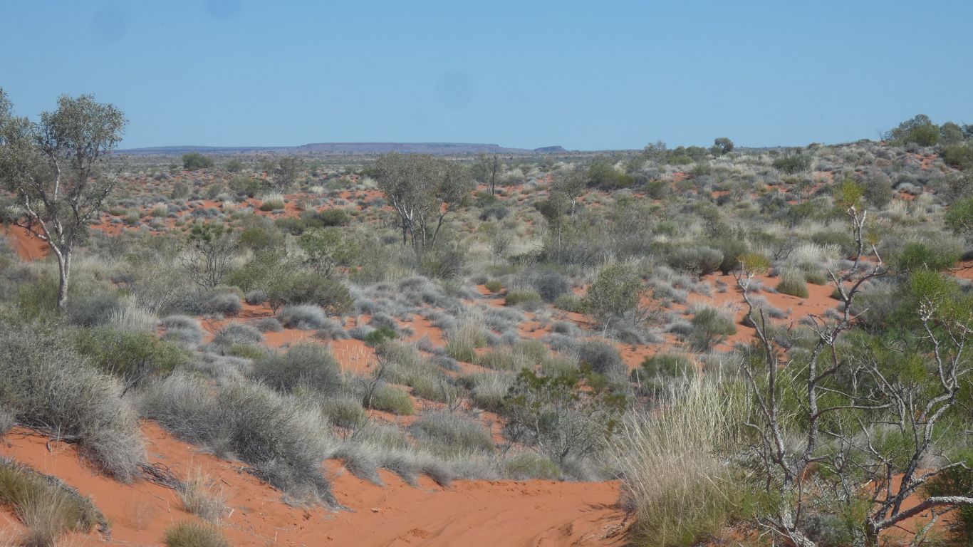
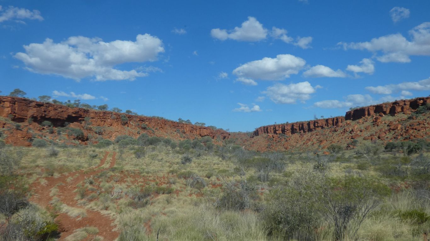
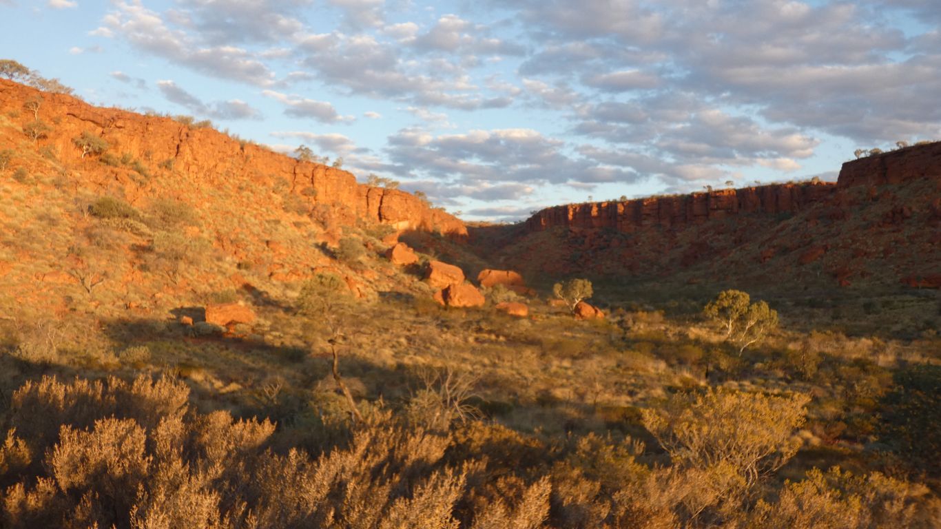
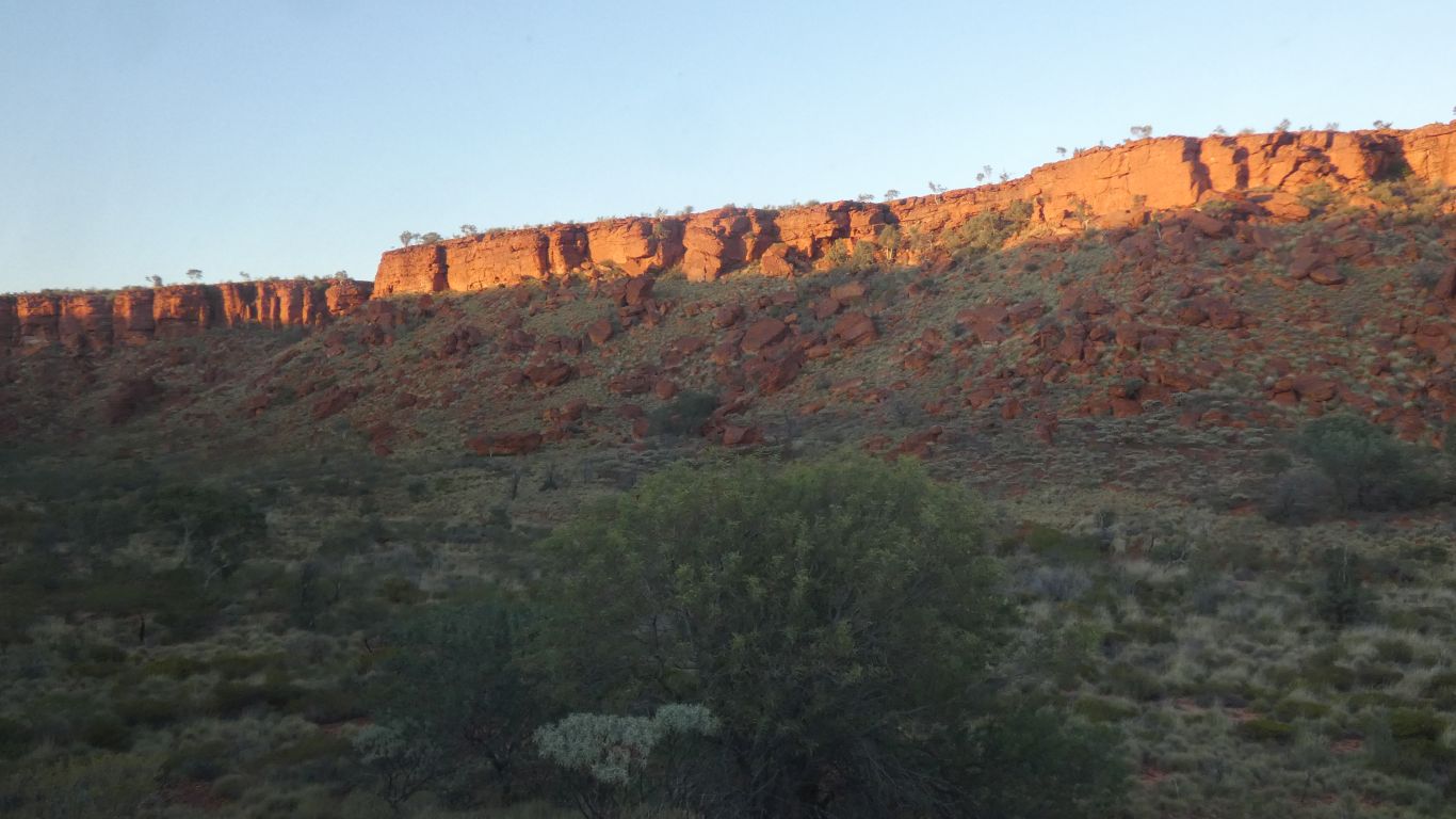
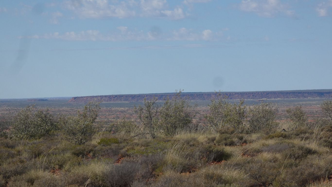
The escarpment looks enticing. And a difficult barrier.

     
  Somewhere in there is Diebil Spring.

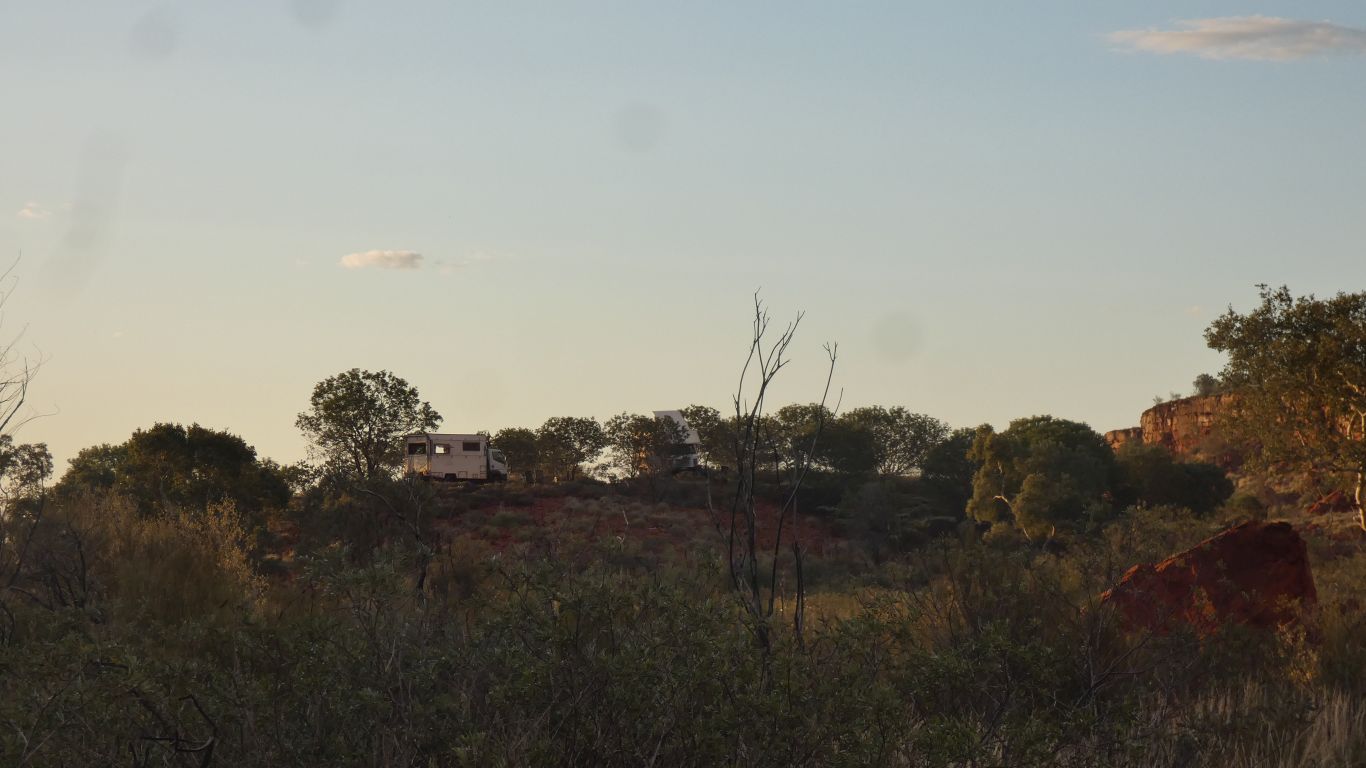
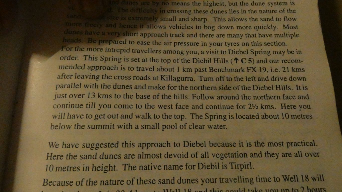
Almost by accident, we were looking for a track junction which we never found. We were led to the gorge containing the spring.

     
  Camped at the end of the track, on a slight rise. Watching the effect of the setting sun.
     
  And the following morning sunrise.
     
  We set off walking up the gorge. Armed with gps coordinates for the spring.

But with no pics of it, and lots of stories of people not finding it.

     
  We do have an old book with directions.

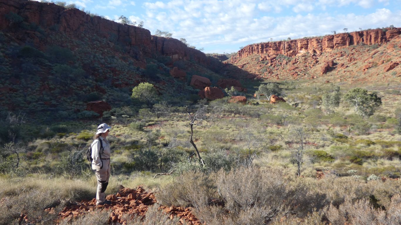
Much inconclusive fun trying to work out what "top" means.

"Top of What?" is our frustrated cry.

     
  Nearly at the top of the gorge we can see our camp in the distance.
     
  On to the plateau. Relatively easy walking on "pavement area".
     
  And even better view of campsite.
     
  Looking north to escarpment. Our track in beneath it.
     
  We are within a few meters of the gps coordinates.

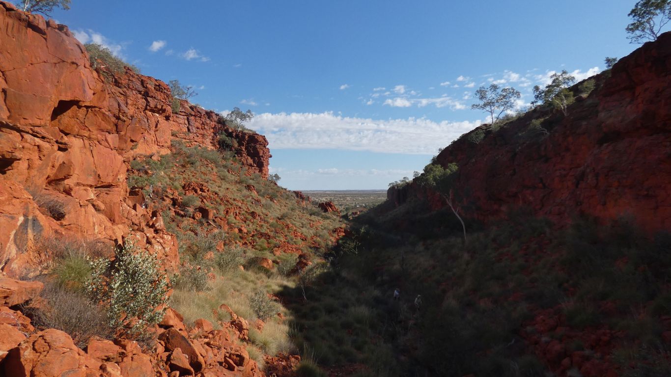
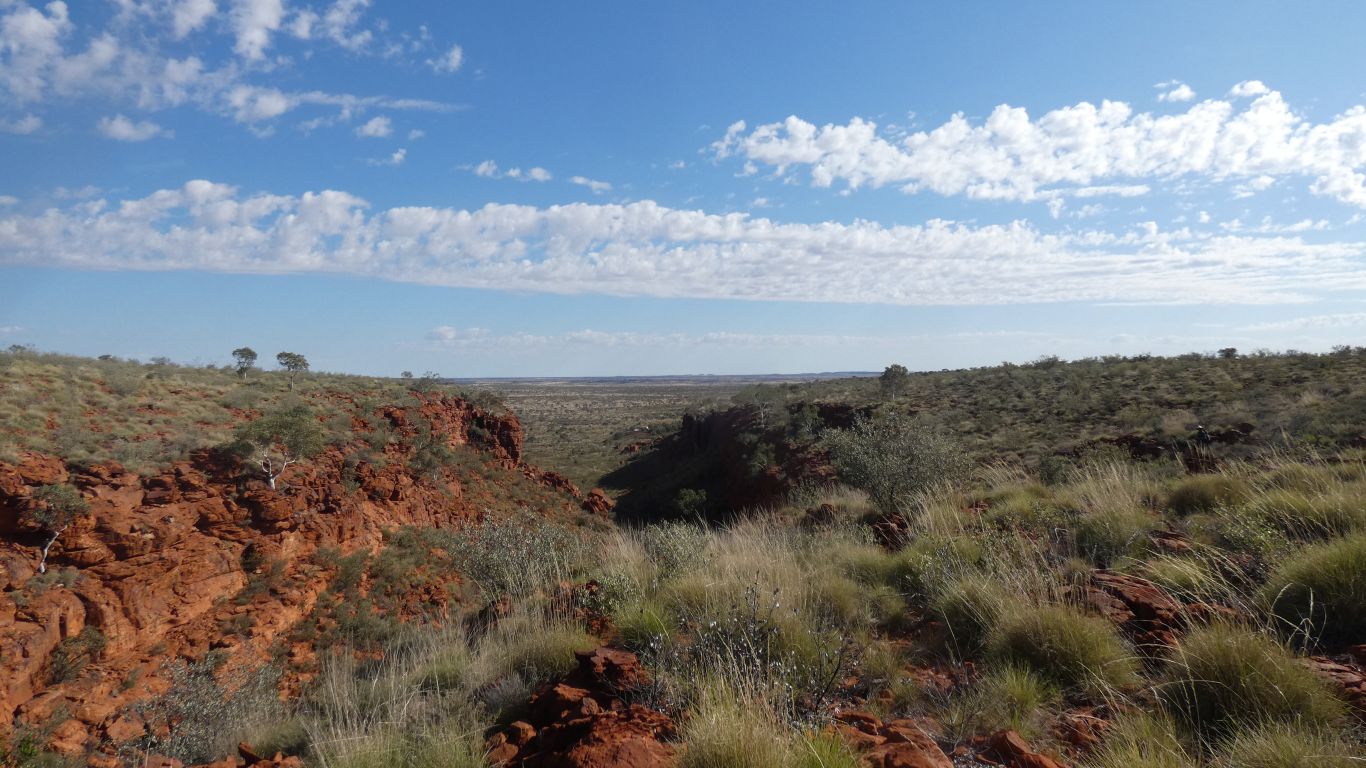
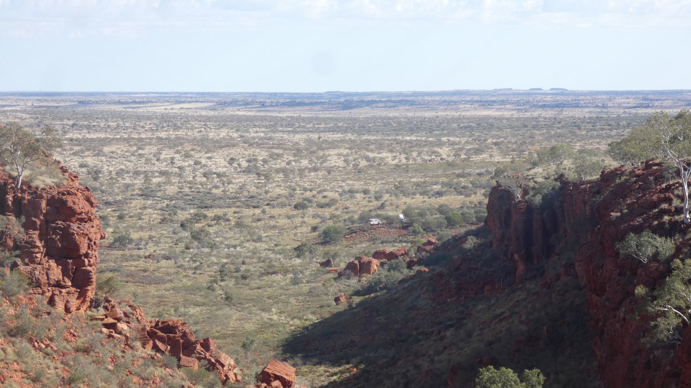
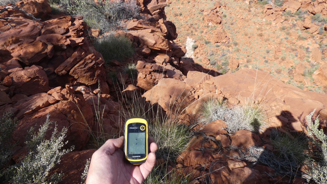
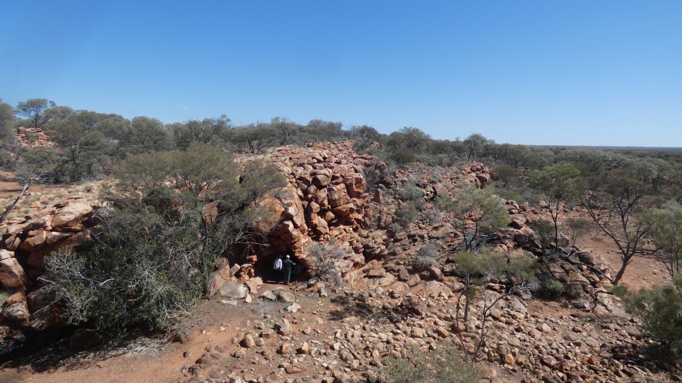
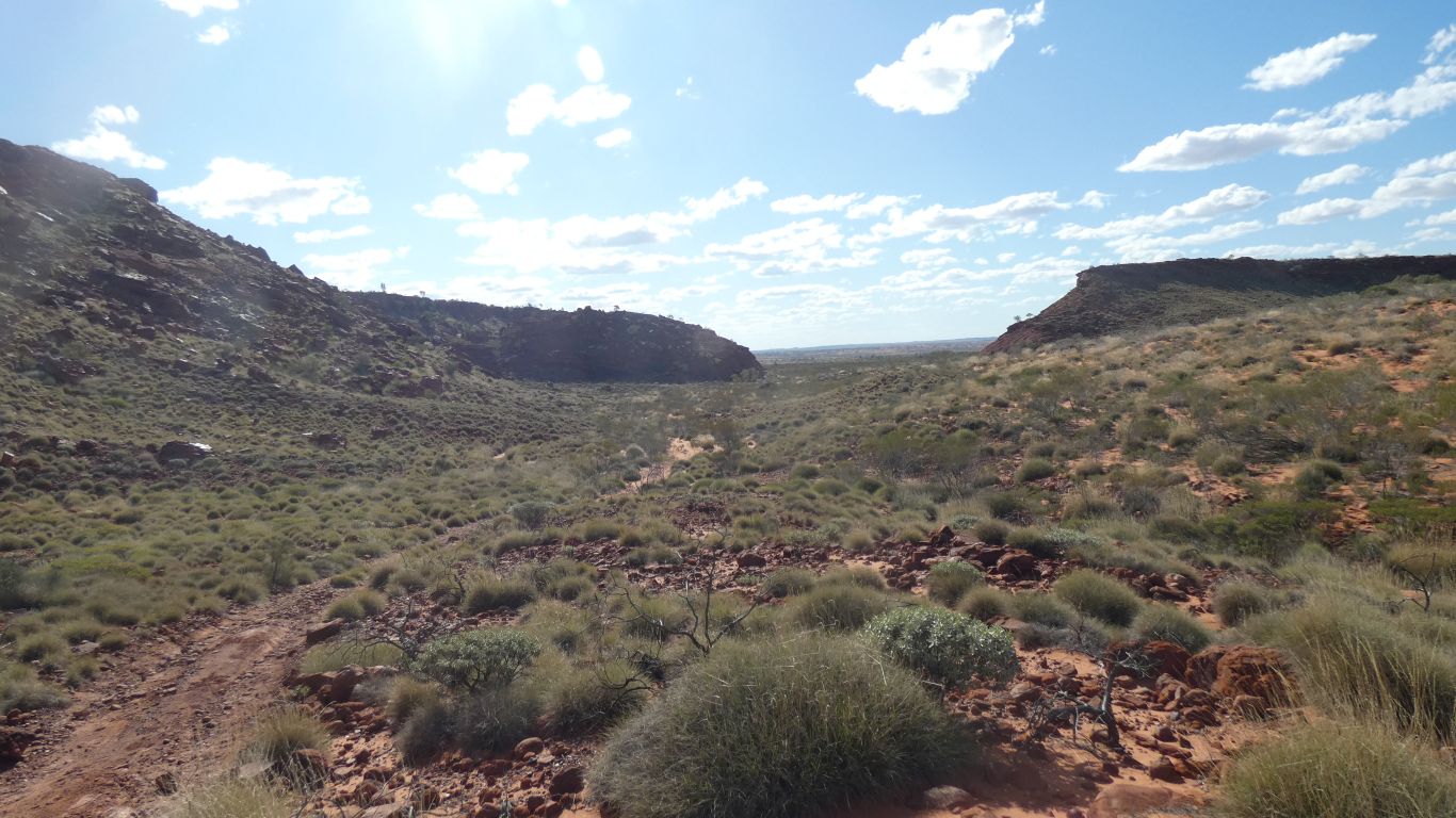
At the top of a cliff.

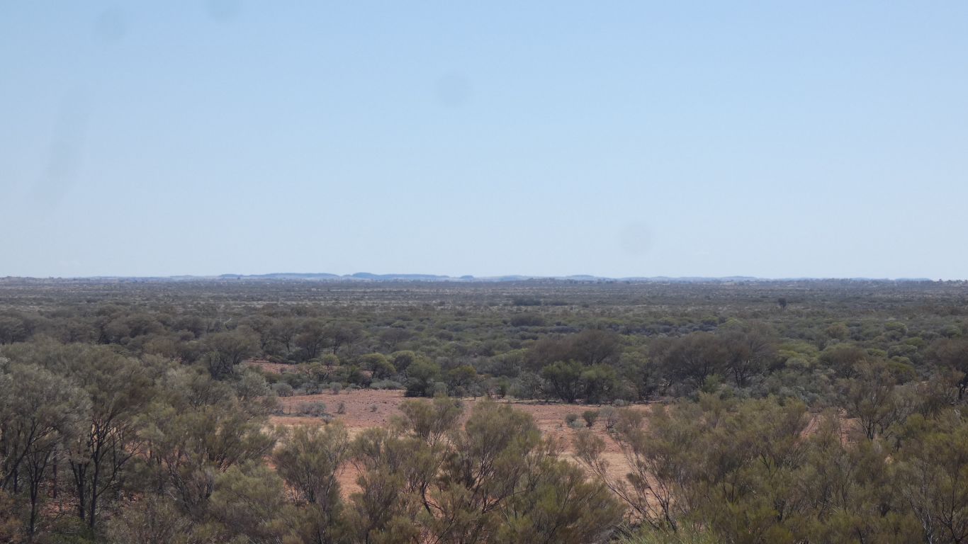
The spring is somewhere below us.

Invisible.

     
  Having looked at the satellite images before setting off we explored a water course leading to the supposed location of the spring.
     
  We've seen several constructions like this.

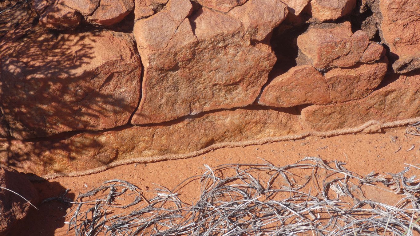
We think tunnels made by desert termites.

     
  Back down the gorge we investigate the bottom of the cliff, the top of the scree.

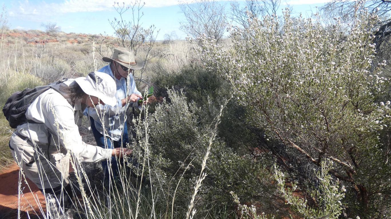
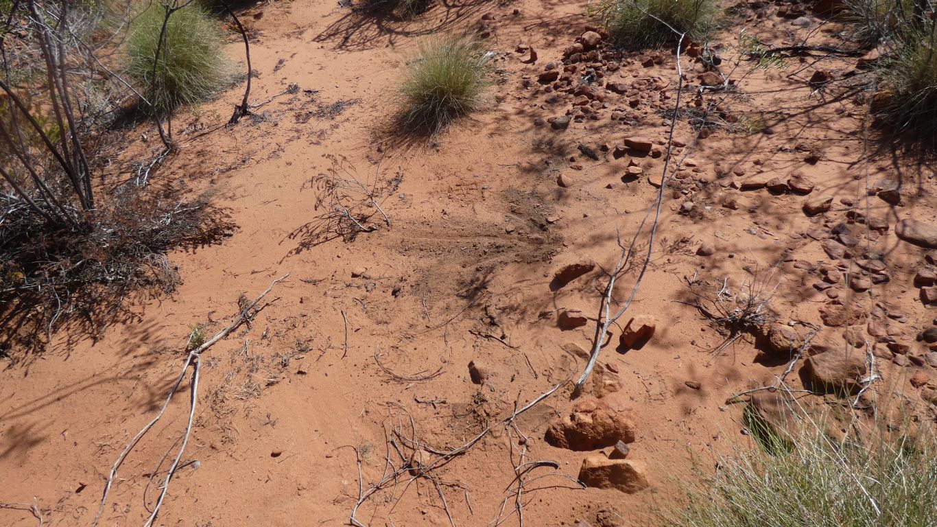
The nearest we came to a spring was this little patch of greener than elsewhere and different vegetation. A damp looking patch of soil. And a nearby wasp nest.

The wasps didn't like our attention and attacked me while taking this pic. Only three stings, and a quick application of soov prevented anything more than slight swelling over the next few days.

We did get as close to the spring coordinates as we could at the bottom of the cliff. But we were still 20m short. So close the gap in our gps track between top and bottom of the cliff wasn't apparent at maximm zoom in oziexplorer maps. I resorted to plotting lat longs in Excel.

One is tempted to suggest the ExplorOz coordinates for the spring may be in error. Or the spring is no longer.


  On the way back to camp, along the creek bed, an arrow someone had drawn.

Hopefully not Peter playing tricks.

     
  After a rest at camp I investigated where the arrow pointed.

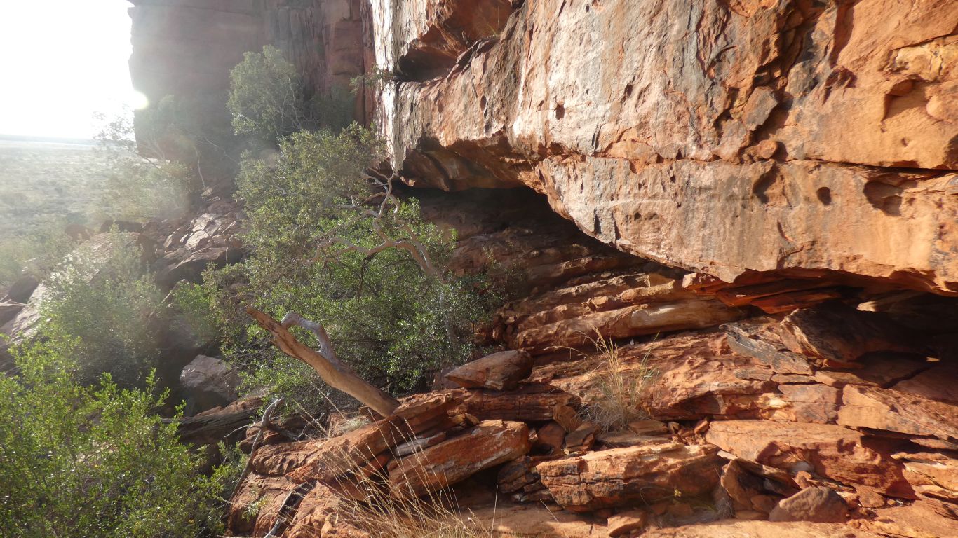
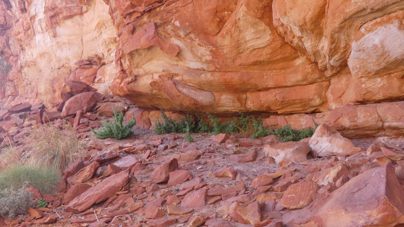
A cave. Once the bottom of a waterfall, with large sandstone blocks below.

     
  A small depression in the cave. But not really damp.
     
  The blocks of sandstone an impediment.
     
  Back to camp for tea.
     
  And another sunset.
     
Durba Spring July 31 - August 2 2024
     
Gateway
CommentsHome


Sorry, comments closed.